 Block
BlockFrom the record
7 National Register listings published here.
Sources: the county history on the Internet Archive · the National Register database, National Park Service
85 topographic sheets and 10 fire insurance atlases across 1 place.
7 National Register listings published here.
Sources: the county history on the Internet Archive · the National Register database, National Park Service
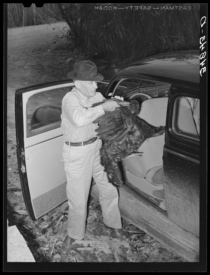
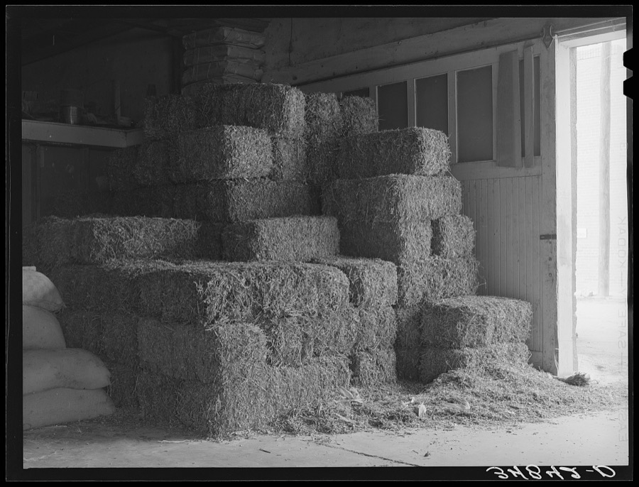
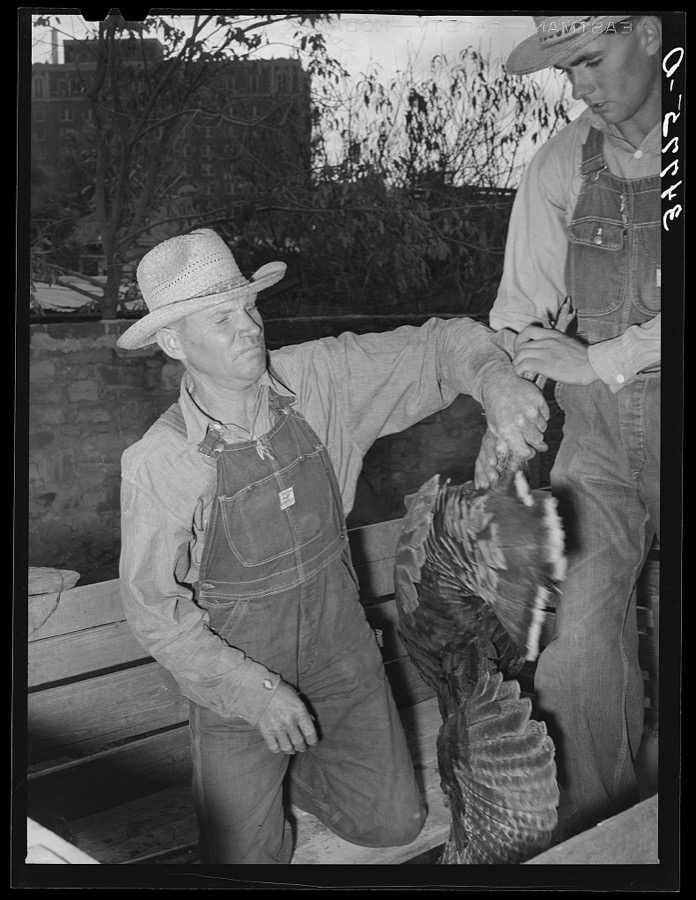
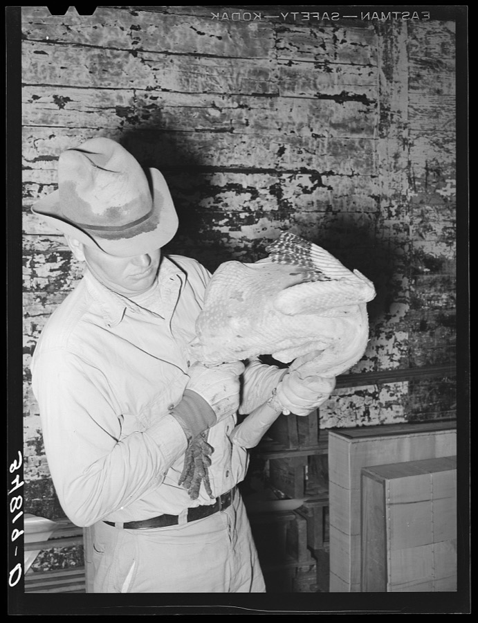
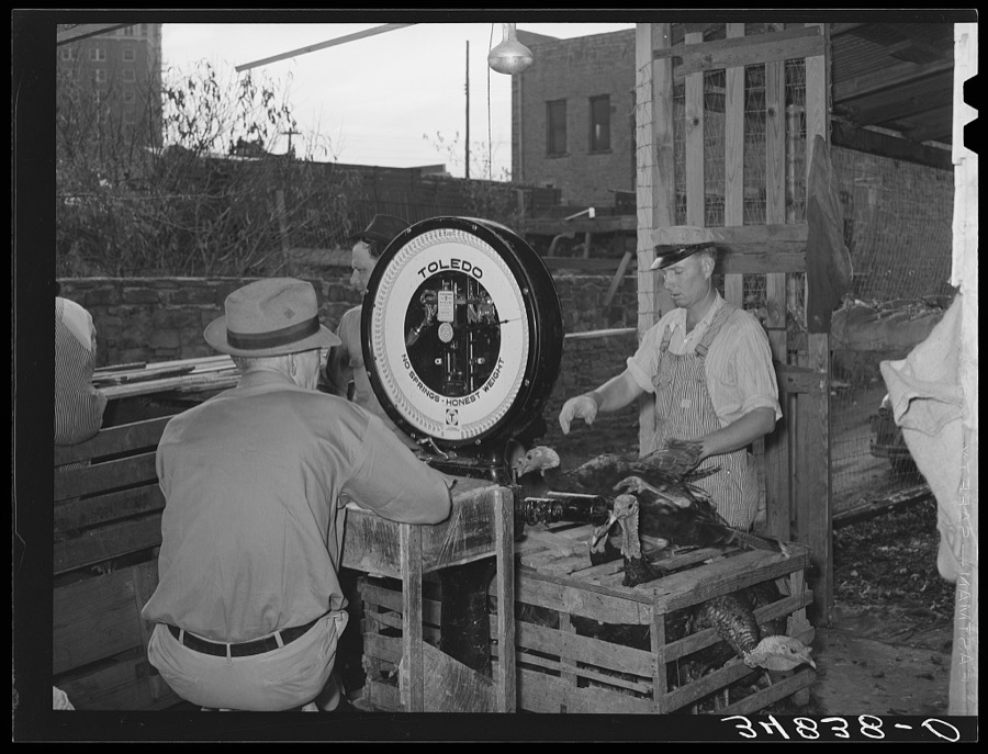
Taken for the Office of War Information and the Farm Security Administration, who photographed the country between 1935 and 1944. Works of United States government photographers, with no known restriction on use. Each opens its catalogue record.

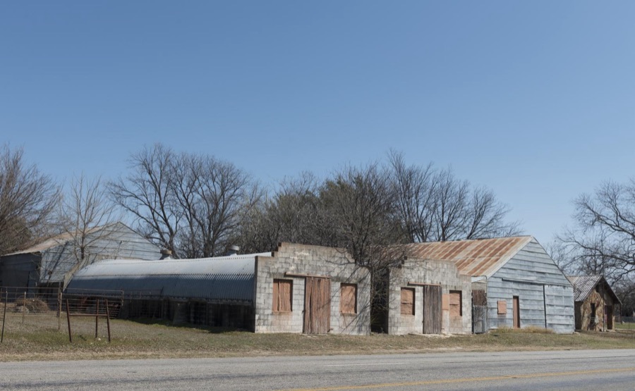












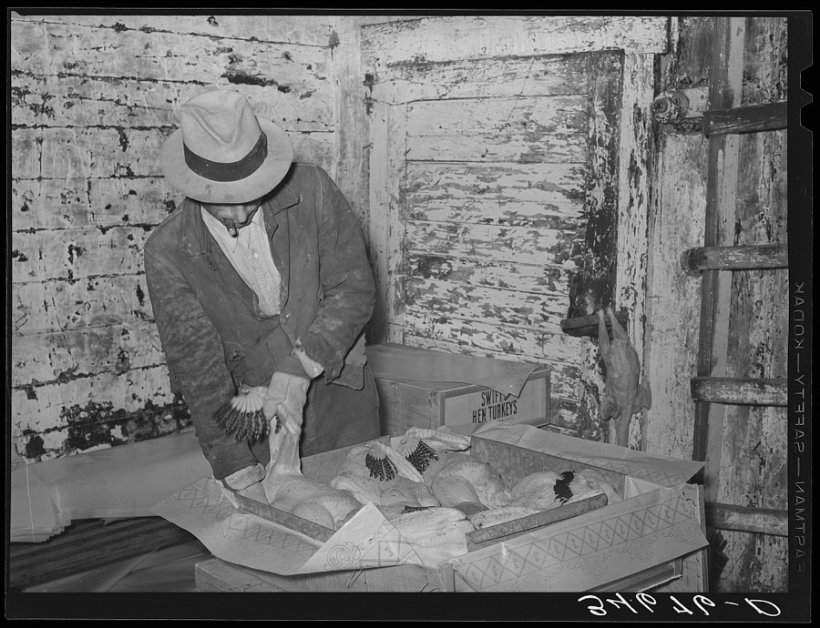



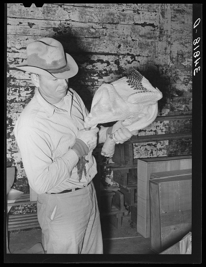

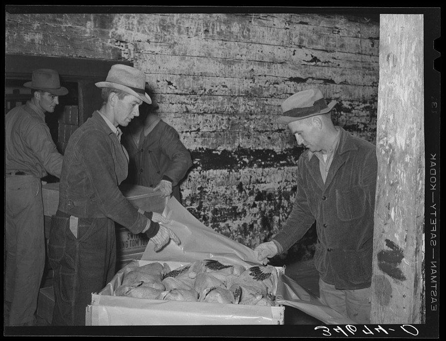
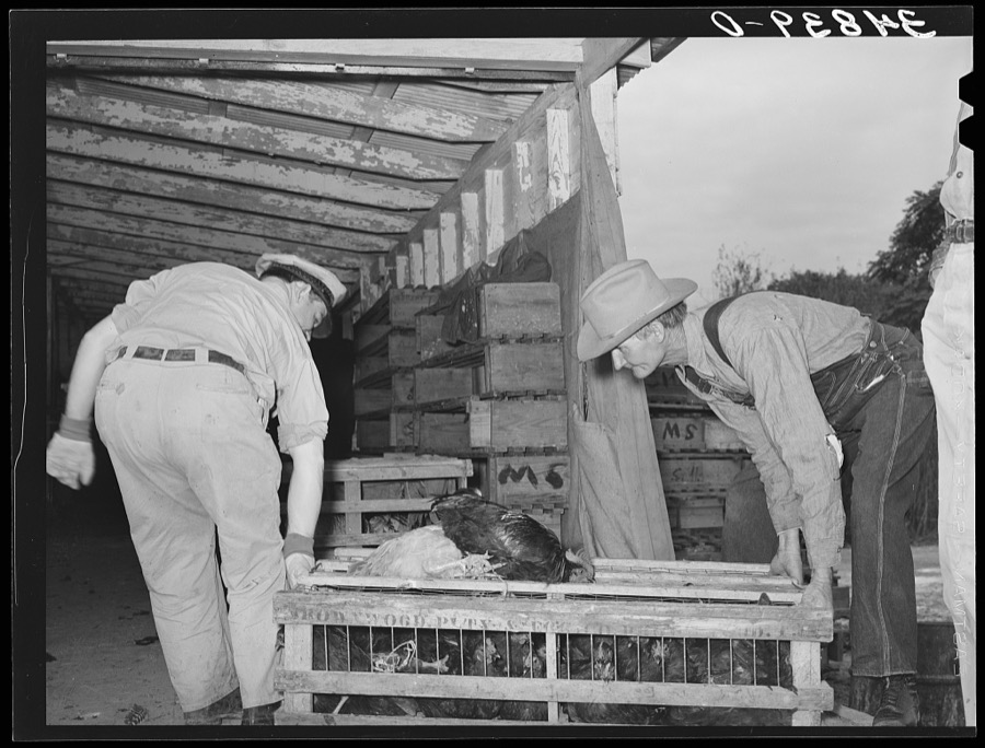








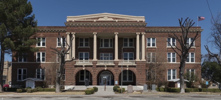

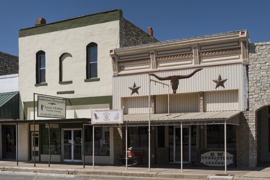


Every property in this county listed on the National Register of Historic Places, with the year it was listed and the federal nomination document.
| Photograph | Property | Type | Listed | Reference |
|---|---|---|---|---|
 | Brown County Jail | building | 1983 | 83003129 |
 | Greenleaf Fisk House | building | 2004 | 04000103 |
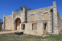 | R.F. Hardin High School | building | 1999 | 99000722 |
 | Santa Fe Railroad Station | building | 1976 | 76002012 |
 | St. John's Episcopal Church | building | 1979 | 79002923 |
 | Walker, J. A., House and Rogers, R. B., House | building | 1982 | 82004494 |
| Weakley-Watson Building | building | 2020 | 100005003 |
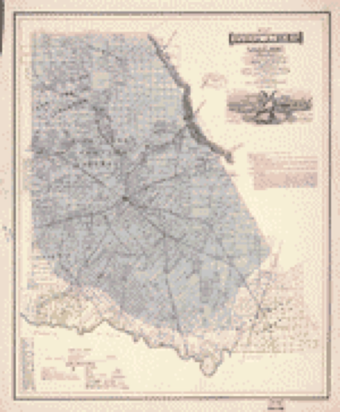
Drawn when these were printed as single large sheets: the town seen from the air, and the county divided into its farms with every owner named. Each opens the original at the Library of Congress.
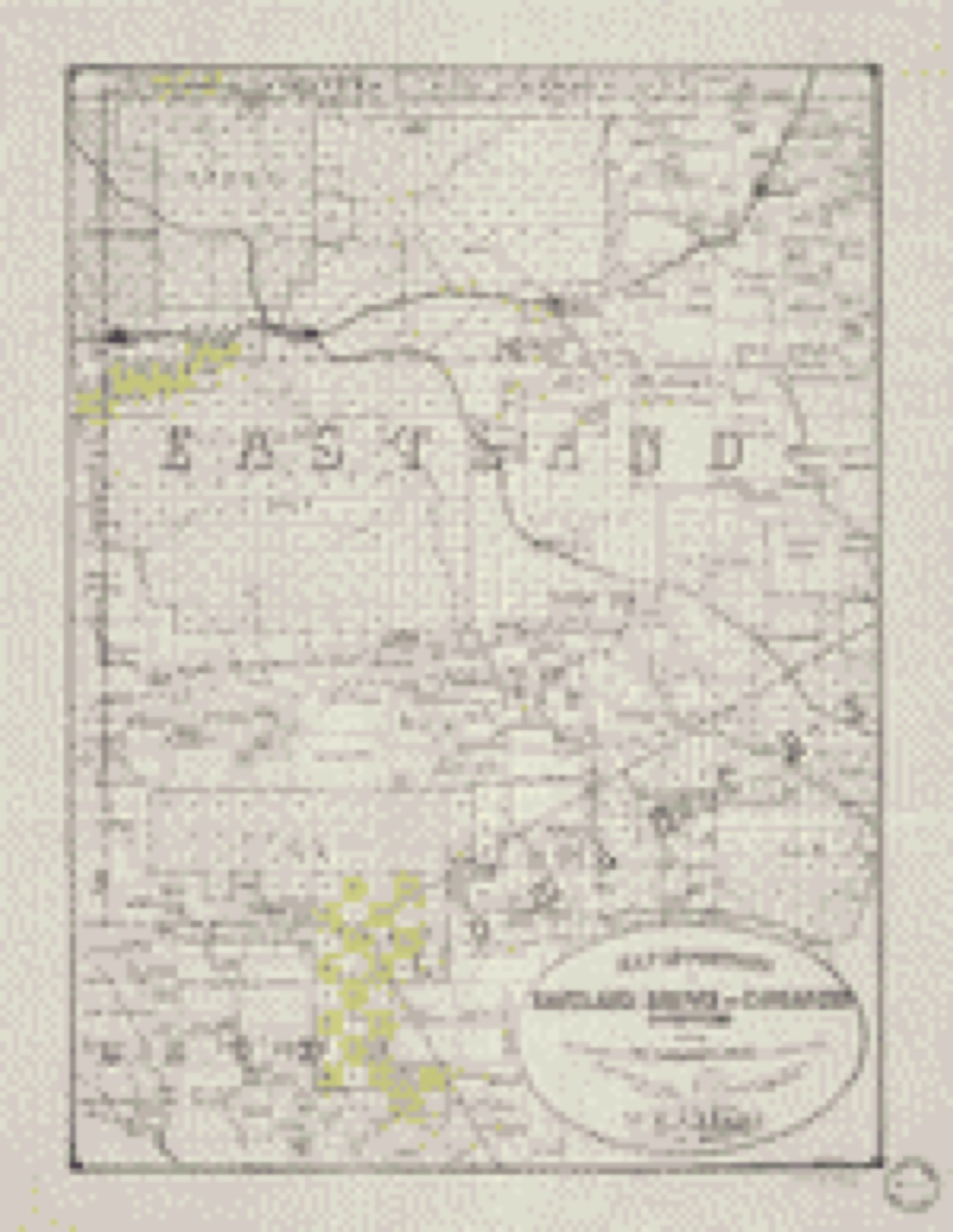
Selected from the Digital Public Library of America's 2 image records catalogued for this county. Every one shown here carries a public-domain status or a licence that permits reuse on a site that carries advertising; non-commercial, share-alike and restricted images are excluded. The selection is spread across the county's towns (at most eight per town), so no single institution's bulk upload crowds out the rest. Each opens the holding library's record, and the complete set at the Digital Public Library of America is one click away.

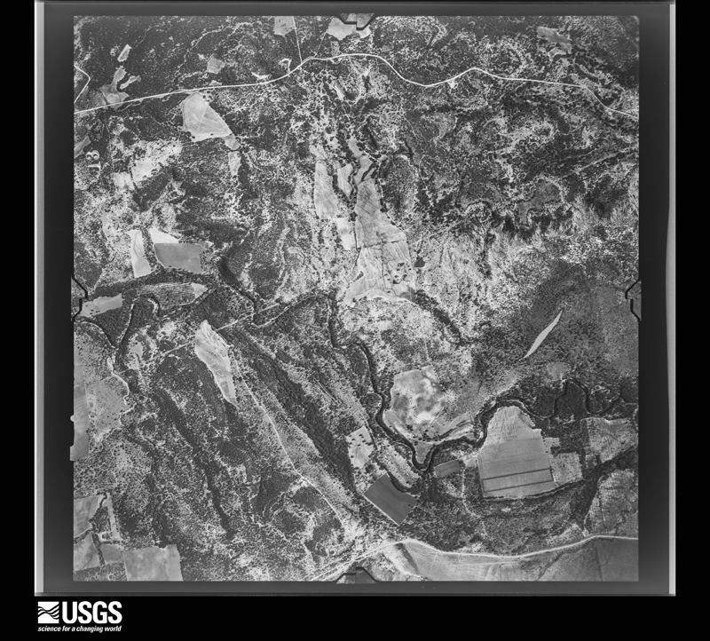
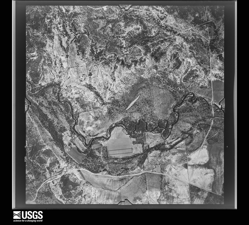
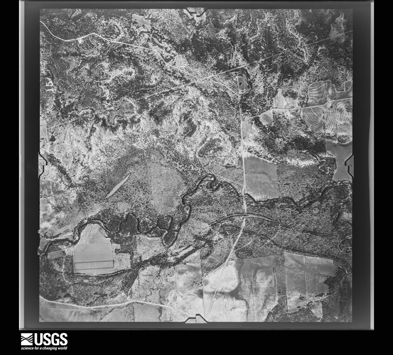
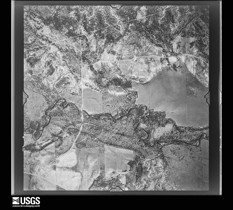
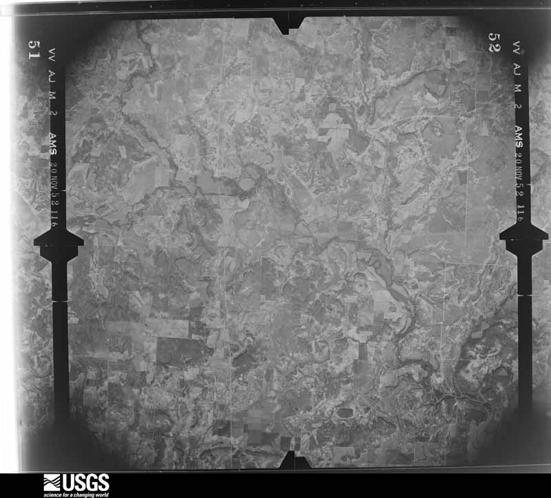
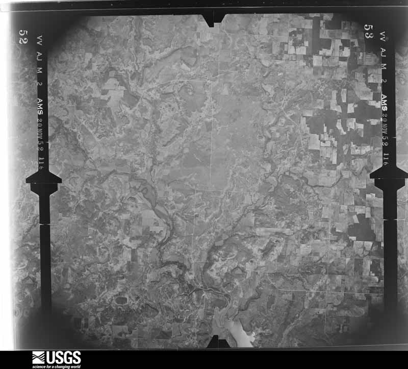
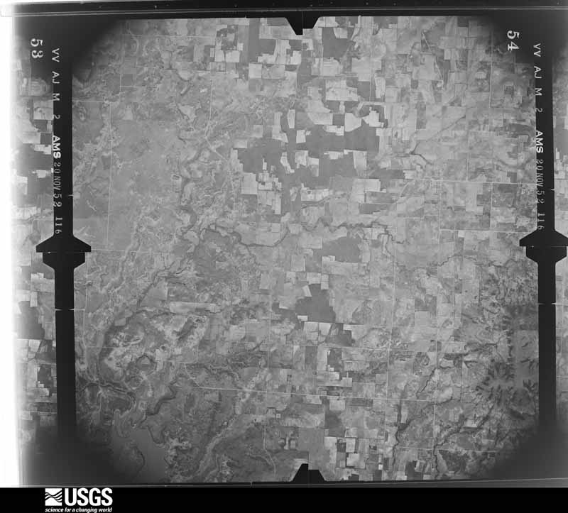
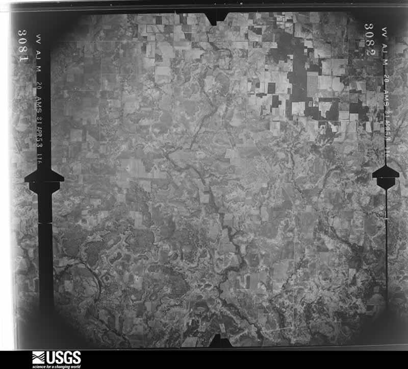
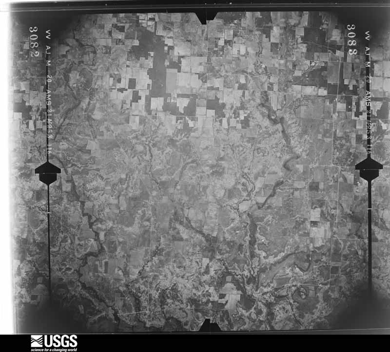
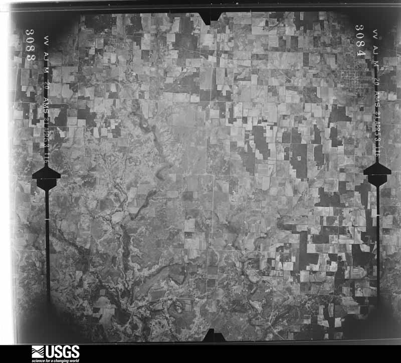
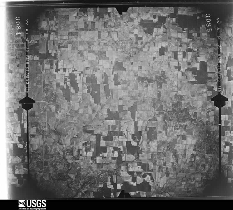
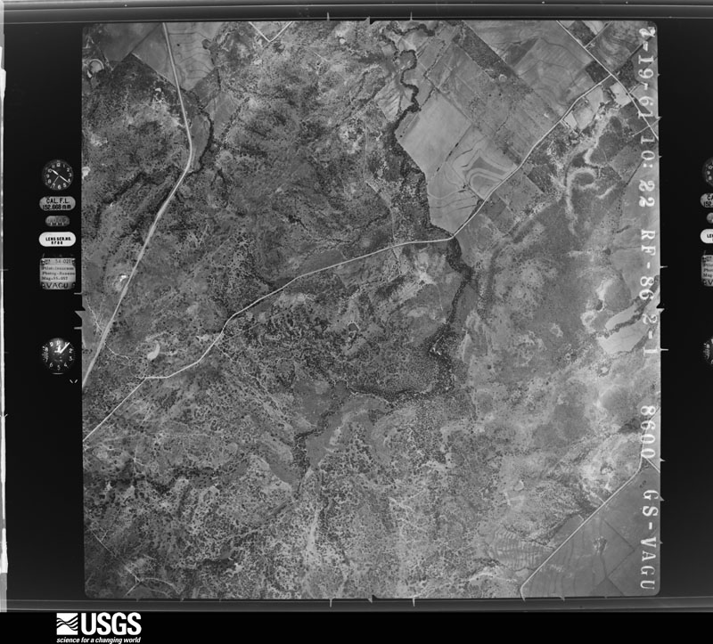
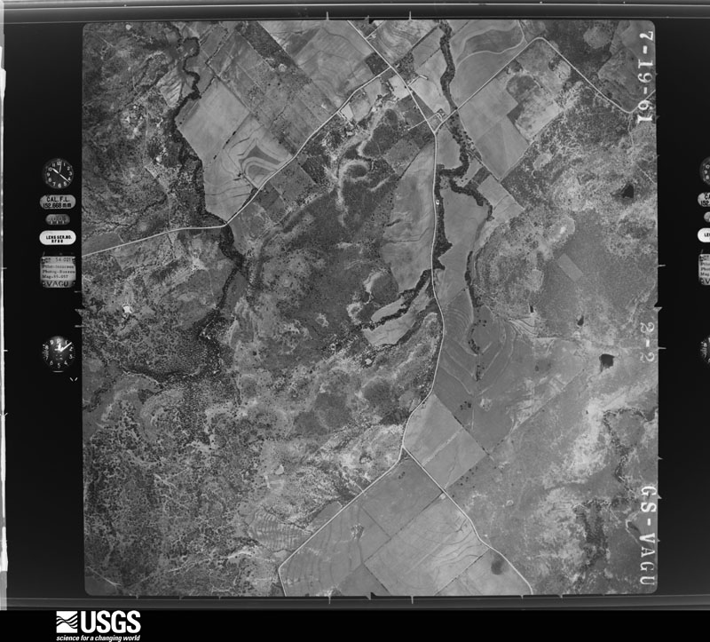
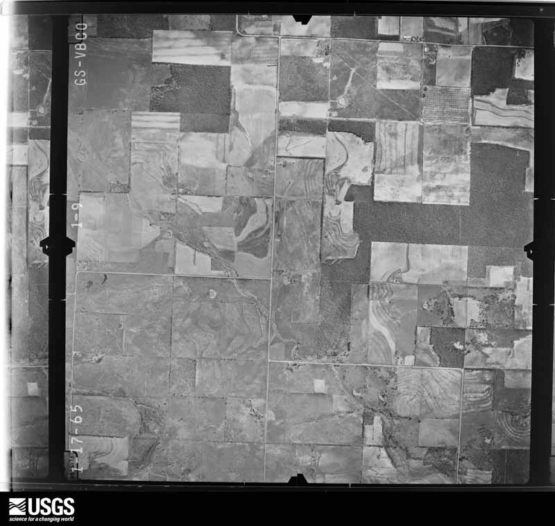
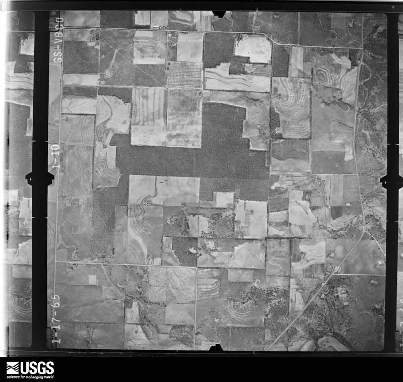
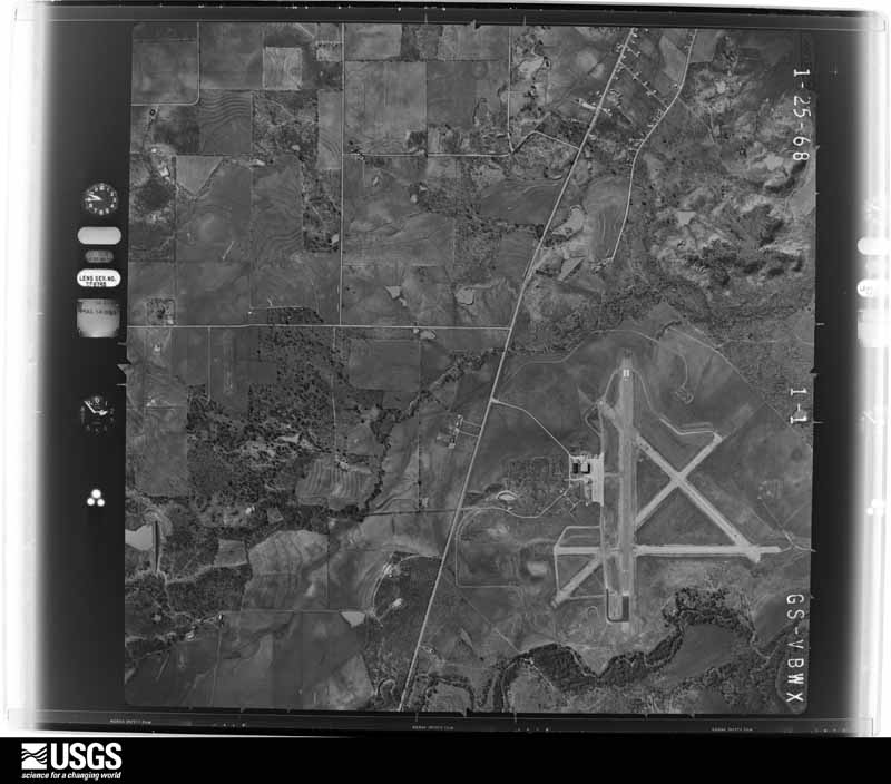
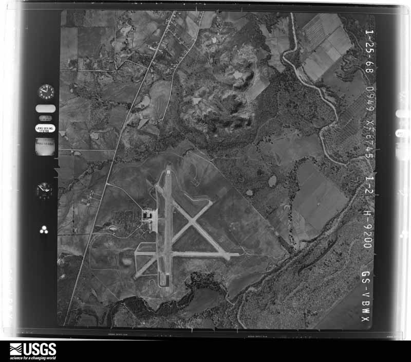
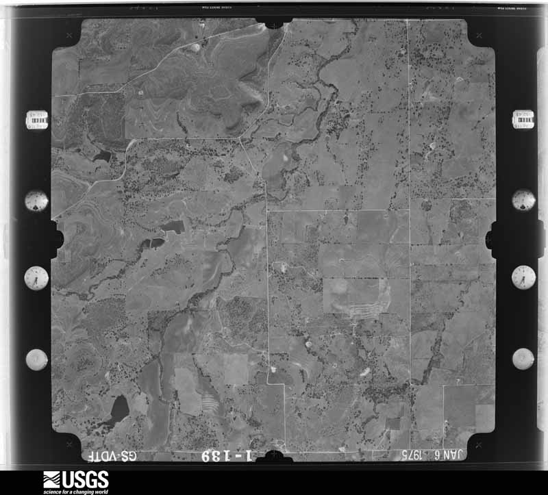
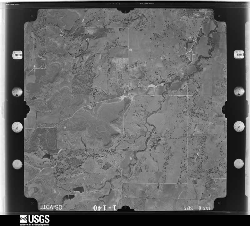
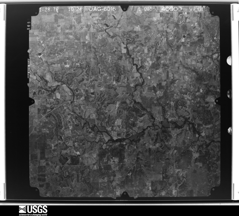
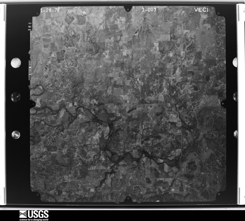
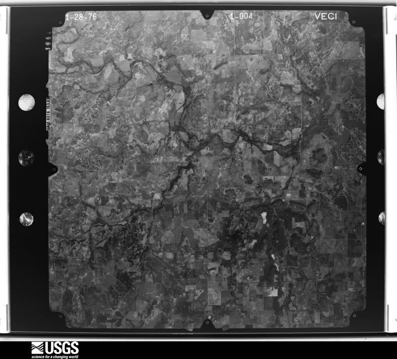
Flown by the U.S. Geological Survey between 1937 and 1989, the Aerial Photo Single Frames collection is the definitive mid-century view of the land: fields, roads and rivers as the camera saw them. The Survey holds 1,072 frames inside the rectangle that bounds this county; the 36 frames below were taken over the county itself, chosen across the decades of flights (at most four a year from that rectangle), so one flight cannot crowd out the rest. The full set is free to browse and download at EarthExplorer under the dataset Aerial Photo Single Frames.

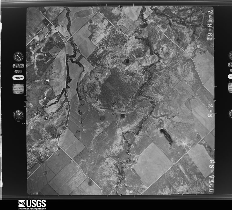
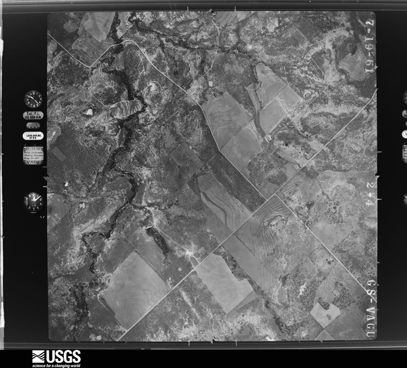
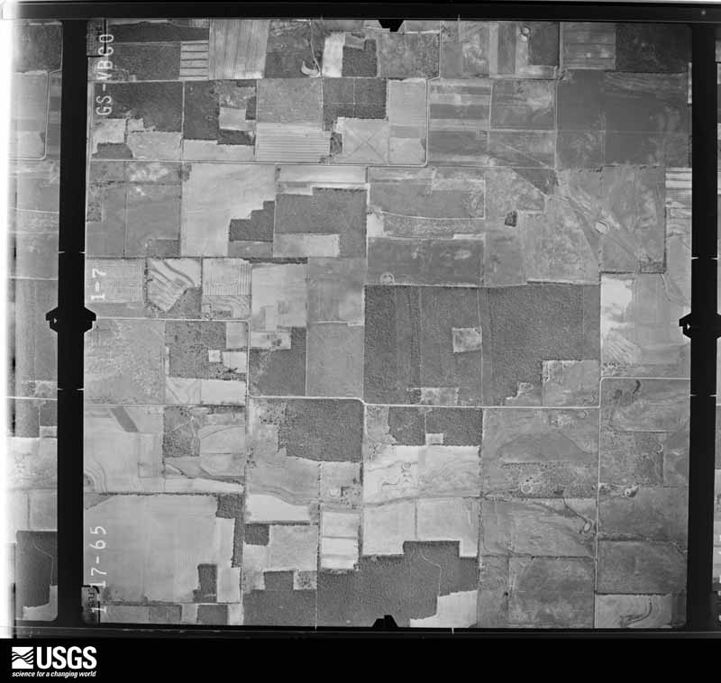
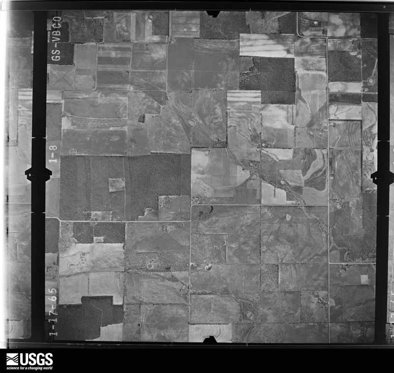
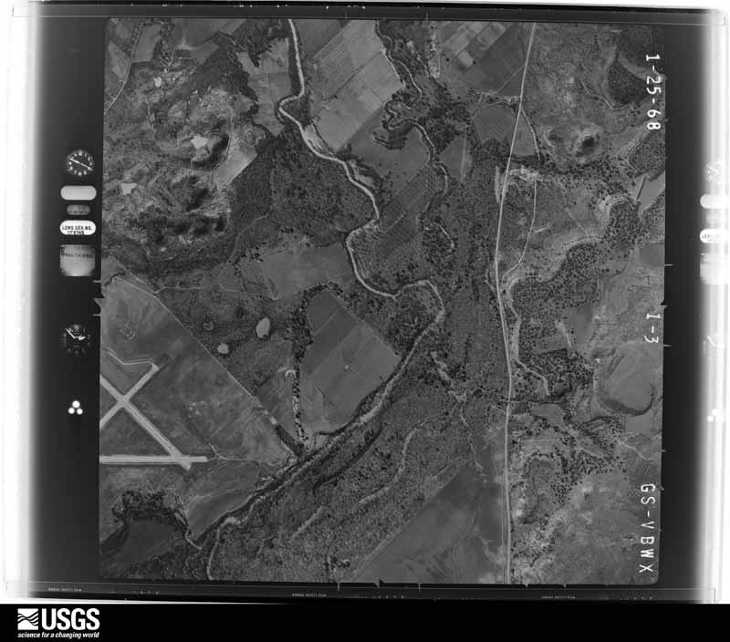
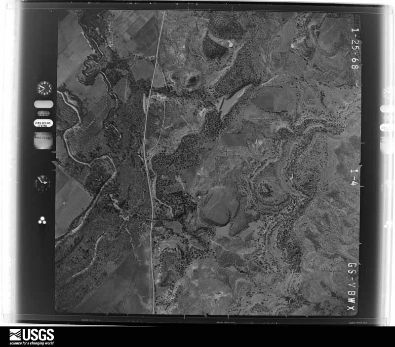




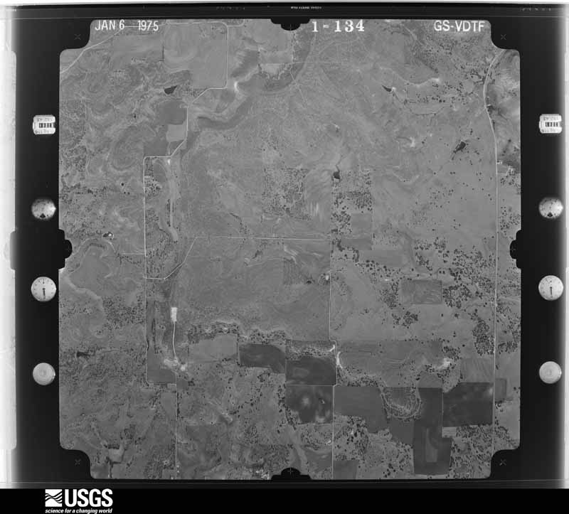
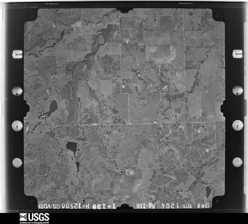

The thermometers that kept this county's weather, and the gages that measured the flow of its streams, as the federal records hold them. The extremes below are measured values from those records, not estimates.
Who lived here in 1950, one enumeration district at a time, as the Census Bureau described each district. Each row opens its official National Archives result, with Population Schedules and ED Maps available there.
Every wildfire the federal occurrence database records inside this county: 1,282 of them, burning about 23,770 acres. 34 started naturally and 19 were recorded as arson. Each settlement page carries the fires within five miles of it.
| Reported cause | Fires |
|---|---|
| Missing data/not specified/undetermined | 416 |
| Debris and open burning | 388 |
| Equipment and vehicle use | 280 |
| Power generation/transmission/distribution | 68 |
| Smoking | 35 |
| Natural | 34 |
| Recreation and ceremony | 20 |
| Arson/incendiarism | 19 |
| Railroad operations and maintenance | 17 |
| Misuse of fire by a minor | 5 |
The five largest, by the area the report gives. None of them was recorded as arson.
| Date | Cause | Size | Reported by | Name on the report |
|---|---|---|---|---|
| 3 April 2011 | Missing data/not specified/undetermined | 3,355 acres | Texas A & M Forest Service | CAMP BOWIE FIRE |
| 23 July 2018 | Missing data/not specified/undetermined | 1,658 acres | Texas A & M Forest Service | 259 |
| 14 July 2020 | Missing data/not specified/undetermined | 1,000 acres | Texas A & M Forest Service | FIRE |
| 16 June 2008 | Missing data/not specified/undetermined | 901 acres | Texas A & M Forest Service | CAMP BOWIE FIRE |
| 14 July 2020 | Debris and open burning | 760 acres | Texas A & M Forest Service | 192B |
| 15 October 2015 | Equipment and vehicle use | 750 acres | Texas A & M Forest Service | WHITLEY |
| 22 July 2008 | Equipment and vehicle use | 500 acres | Texas A & M Forest Service | not named |
| 27 December 2005 | Debris and open burning | 500 acres | Texas A & M Forest Service | not named |
Every settlement page carries the fires within five miles of it - see the settlement index below.
The NOAA Storm Events Database holds 679 reports for this county, causing 4 deaths, 22 injuries and about $63,754,000 in recorded property damage. Each settlement page carries the reports that name it.
| Kind of event | Reports |
|---|---|
| Hail | 390 |
| Thunderstorm Wind | 176 |
| Flash Flood | 63 |
| Tornado | 38 |
| Flood | 5 |
| Funnel Cloud | 4 |
| Heavy Rain | 3 |
The most serious of them, by death, then injury, then recorded damage. The accounts are quoted exactly as the forecast office filed them.
| When | Event | Place named | Harm | What the report says |
|---|---|---|---|---|
| June 1997 | Flash Flood | Brownwood | 1 killed, $250,000 | Streams and creeks rose rapidly and overflowed in heavy rains. A motorist drowned when he attemped to cross a rapidly overflowing low water crossing on County Road 411 near Hogg Creek. His suburban was washed off the road by swift water. The passenger escaped and was rescued unharmed. The attempted crossing occurred around 2340 CST the night of the 22nd.Lake Brownwood rose nearly three feet above its spillway. At least 90 residents near the lake were stranded due to four-foot high waters at a low water crossing. In and around the city of Brownwood, streets and roads were closed due to the flooding. |
| February 2001 | Thunderstorm Wind | Brownwood | 1 killed, $10,000 | One man was fatally injured when an apparent downburst flipped his mobile home. |
| May 2019 | Flood | Ricker | 1 killed, $5,000 | Brownwood Fire Chief said the driver a 2006 Nissan Frontier pickup went around a road block on CR 257 at 10 Mile Crossing about 1:30 a.m. CDT Sunday. The fire chief estimated the water was about 30-foot deep at that point. The truck was submerged and swept down Pecan Bayou. A woman drowned at County Road 257 where it crosses Pecan Bayou. Pecan Bayou was at about 30 foot deep and was running above normal. |
| July 2015 | Flash Flood | Thrifty | 1 killed | A man drowned when his truck was swept off the road by rushing waters approximately 6 miles north of Bangs where Jim Ned Creek crosses FM 2492 near County Road 105. The driver was able to exit the vehicle but was quickly washed downstream. |
| April 1976 | Tornado (F5) | not stated | 11 hurt, $2,500,000 | no account filed |
| May 2020 | Thunderstorm Wind | Lake Brownwood | 3 hurt | The Brown County Emergency Manager reported extensive damage to multiple docks, including Kirkland Docks on Lake Brownwood resulting in four minor injuries. |There were tree limbs blown down and some trees were snapped. The winds were estimated at 70 to 80 mph. A special thanks to Brownwood Lake Patrol, Brownwood and Brown County Emergency Management and Brownwood Amateur Radio Club. |
| April 1993 | Thunderstorm Wind | Brownwood | 2 hurt, $50,000 | Two people were injured when a travel-trailer was blown over by thunderstorms winds at the Lake Brownwood State Park. Numerous trees were also blown over. Total damage across Brown county was over $1 million. |
| October 2013 | Thunderstorm Wind | Brownwood | 2 hurt | Two old rotten trees fell onto a vehicle that had two passengers. Both passengers who were in the vehicle were injured. |
| October 1960 | Tornado (F2) | not stated | 1 hurt, $2,500,000 | no account filed |
| May 2002 | Hail | Lake Brownwood | 1 hurt, $10,000 | A person was injured when the vehicle they were driving was struck by baseball size hail and the windshield was broken. The injuries were from broken glass and hail stones. There was also some roof damage to houses. |
| August 1987 | Thunderstorm Wind | not stated | 1 hurt | no account filed |
| April 1970 | Tornado (F1) | not stated | 1 hurt | no account filed |
| July 2002 | Flash Flood | Countywide | $42,000,000 | Numerous showers and thunderstorms developed over Brown County just after midnight on the 6th. These thunderstorms remained nearly stationary through much of the night producing 12 to 14 inch rainfalls. This is in combination to the 6 to 8 inches of rain that had fallen in the days preceding the flood. The rain in Brown County fell directly into the catchments of the Jim Ned Creek, and Pecan Bayou, which empty into Lake Brownwood. Lake Brownwood crested on Sunday morning of the 7th, 7.7 feet over its spillway. Major flooding in Brownwood begins around 6 feet over the spillway. The flooded Pecan Bayou turned much of the Brownwood business district into a giant lake. Commerce Street in Brownwood was flooded with waist deep water. In Brownwood and Early, there were 54 homes with major damage, and 6 with minor damage. At Lake Brownwood there were 110 homes with major damage and 40 with minor damage. |
| June 2000 | Flash Flood | Brownwood | $7,500,000 | Rainfall of up to 10 inches inundated the city of Brownwood during the early morning hours of the 15th. All of the creeks and streams in the city overflowed, with the water flowing into several housing areas. At least 125 people were forced to evacuate their homes, with the Brownwood EMC estimating that 160 homes and businesses suffered some degree of water damage. |
| October 2018 | Flood | Grosvenor | $2,400,000 | Prolonged heavy rainfall flooded roads across Brown County since September and this new flooding damaged some roads and bridges in the county. |
| May 1994 | Thunderstorm Wind | Concord | $500,000 | Six mobile homes were destroyed, four mobile homes had major damage, four houses suffered major damage, and minor damage was done to five mobile homes and four houses. There were numerous reports of damage to barns, sheds, and other outbuildings in the area. |
| May 1994 | Thunderstorm Wind | Bangs | $500,000 | Numerous mobile homes were damaged in and around Bangs. |
| May 1994 | Thunderstorm Wind | not stated | $500,000 | The severe thunderstorms which moved through Brown County during the evening hours damaged every mobile home in central and eastern Brown County, and damaged nearly every barn and storage building across the eastern part of the county. Thousands of trees and hundreds of power line poles were blown down. |
| May 1994 | Tornado (F1) | Lake Brownwood | $500,000 | A tornado at Lake Brownwood destroyed a home and a business, damaged several homes, and destroyed boat docks and boats. Extensive damage occurred at the Lake Brownwood State Park where numerous recreational vehicles and trailers were overturned. |
| April 1993 | Thunderstorm Wind | Brownwood | $500,000 | Considerable amount of wind damage to homes and businesses was reported in Brownwood. |
| October 1993 | Thunderstorm Wind | Brownwood | $500,000 | A strong downburst with F1 wind damage had a path three miles long and quarter mile wide through Brownwood. The worst damage included a roof blown off two rooms at the Holiday Inn, a cinder block wall blown down, a freight trailer blown over, and a roofing company was "unroofed". |
| December 2004 | Tornado (F1) | Brownwood | $500,000 | no account filed |
| May 2009 | Thunderstorm Wind | Brownwood | $250,000 | The town of Brownwood experienced widespread wind damage across the central part of town. The Walmart, Krogers, Dollar General Store and a few other businesses experienced roof damage. The roofs were peeled off in a northeast to southwest direction. Some large oak trees were also blown over. This is consistent with straight line winds of 80 to 85 mph. |
| June 1997 | Hail | Cross Cut | $250,000 | no account filed |
| May 2007 | Thunderstorm Wind | Brownwood Bowie Arpt | $200,000 | A wind gust of 87 MPH was measured by a Davis weather station before the anemometer broke. The survey team observed damage to several buildings and they saw numerous downed trees. An apartment wall collapsed and several mobile homes were severely damaged. The winds were part of a squall line that was moving through the area. A funnel cloud was sighted to the south of Brownwood shortly before the winds hit, and was likely associated with the tornado to the east of Brookesmith. |
| May 1996 | Thunderstorm Wind | Lake Brownwood | $200,000 | no account filed |
| April 2008 | Tornado (EF1) | Bangs | $150,000 | The NWS storm survey revealed an EF1 tornado with winds estimated at 90 mph, damaging grain silos, roofs and overturning a trailer. |
| May 1997 | Thunderstorm Wind | Brownwood | $150,000 | Downburst winds occurred over an area from Lake Brownwood State Park to the towns of Early and north Brownwood. A wind gust to 67 mph was recorded at the Brownwood airport. Most of the damage was concentrated in Early and northeast Brownwood. Numerous trees were blown down and many fell on power lines. A warehouse was blown from its foundation near Lake Brownwood State Park. |
| January 1995 | Thunderstorm Wind | Brownwood | $150,000 | A radio tower was toppled by high winds along with several billboards. A Wal-Mart sustained major damage. |
| May 2013 | Tornado (EF1) | Blanket | $100,000 | Blanket Volunteer Fire Fighters spotted this tornado as it approached the town of Blanket and as it moved south into the nearby ranch country. This tornado blew two heavy air conditioner units off of the high school. The twister caused roof damage to the gymnasium, a nearby bus barn and a nearby residence. It uprooted trees and knocked down power lines and steel fencing. It also tipped over two tombstones at the nearby cemetery. The tornado also snapped, damaged or uprooted many large Oak trees that were more than 100 years old south of Blanket. |
| May 1997 | Tornado (F1) | Brownwood Arpt | $100,000 | An off-duty weather observer witnessed a tornado which touched down on their house at Lake Brownwood. The tornado peeled the roof off and caused other damage to their house. Fortunately there were no injuries. |
| October 1997 | Thunderstorm Wind | Brownwood | $100,000 | Strong winds and heavy rains caused major damage in some parts of Brownwood. Three trees and a power line were blown down, and an empty metal warehouse was overturned. |
| May 1995 | Tornado (F1) | May | $90,000 | A house was heavily damaged, a vacant mobile home was destroyed, several outbuildings were destroyed, and power lines were downed. |
| March 2004 | Tornado (F0) | Cross Cut | $50,000 | This tornado was observed by a law enforcement officer. Damage was most noted to trees. |
| May 1997 | Hail | Brownwood | $50,000 | Hail up to golfball-size fell over most of the city of Brownwood. |
| June 1997 | Flash Flood | Brownwood | $50,000 | Heavy rains caused some flooding of country roads. One carry-all was washed of the road and submerged in the floodwaters. The passengers escaped uninjured. |
| June 1997 | Flash Flood | Brookesmith | $50,000 | Seven inches of rain fell at Brookesmith in southern Brown County. |
| May 1994 | Thunderstorm Wind | Brownwood | $50,000 | A mobile home was destroyed by thunderstorm winds. |
| May 1994 | Tornado (F0) | Early | $50,000 | A tornado heavily damaged a building on Highway 377. |
| May 1994 | Thunderstorm Wind | May | $50,000 | Several houses were unroofed by thunderstorm winds. |
| June 1994 | Thunderstorm Wind | Zephyr | $50,000 | Thunderstorm winds gusting to 65 miles an hour destroyed a barn, broke windows and windshields, and blew down fences. |
| April 1993 | Thunderstorm Wind | Early | $50,000 | Considerable roof damage occurred at the Early High School, and a small plane was destroyed by high winds at a private airport. |
| October 1993 | Hail | May | $50,000 | This thunderstorm developed over eastern Colemean county and moved east, becoming severe over Brown county. Car windshields were knocked out at four miles SE of Bangs. Large tree limbs were reported downed in Brownwood. Extensive roof damage was reported in May from large hail. |
| April 1993 | Thunderstorm Wind | Brownwood | $50,000 | Thunderstorm winds damaged hangars at the Brownwood Airport. |
| June 1996 | Thunderstorm Wind | Brownwood | $50,000 | no account filed |
| May 1996 | Thunderstorm Wind | Brownwood | $50,000 | no account filed |
| May 1995 | Thunderstorm Wind | Blanket | $40,000 | The roofs were blown off two houses by high winds. |
| May 2007 | Flash Flood | Brownwood | $35,000 | Very heavy rains produced flash flooding throughout Brownwood. Severe street flooding occurred and rescues of people from homes was also reported. |
| June 1995 | Thunderstorm Wind | Brownwood | $30,000 | Numerous trees and power lines were blown down by high winds. A tree was blown onto a car causing extensive damage, and at least one business lost its roof. |
| June 2000 | Thunderstorm Wind | Brownwood | $25,000 | An apparent microburst tore through a small part of Brownwood. Several buildings suffered extensive roof and tree damage, including a grocery store that lost all of its large glass windows. |
| June 1997 | Thunderstorm Wind | Brownwood | $25,000 | Large tree branches were blown down in Brownwood. |
| September 1996 | Flash Flood | Brownwood | $25,000 | no account filed |
| August 1986 | Tornado (F1) | not stated | $25,000 | no account filed |
| October 1979 | Tornado (F1) | not stated | $25,000 | no account filed |
| April 1964 | Tornado (F1) | not stated | $25,000 | no account filed |
| June 1955 | Tornado (F2) | not stated | $25,000 | no account filed |
| June 2004 | Thunderstorm Wind | Brownwood | $20,000 | Numerous power lines and trees were downed when 80 MPH winds roared through the city of Brownwood. |
| March 2004 | Thunderstorm Wind | Brownwood | $15,000 | Trees downed and buildings damaged. |
| April 2007 | Thunderstorm Wind | Early | $13,000 | The high winds blew a large tree onto a house and the strong winds downed power lines. |
| June 2002 | Thunderstorm Wind | Brownwood | $12,000 | Several power lines and trees were downed in the city of Brownwood due to strong thunderstorm winds. |
The Survey's mineral resources record lists 40 workings inside this county. 5 still produce and 35 are closed or unrecorded. Each settlement page carries the workings within five miles of it.
| Commodity | Workings |
|---|---|
| Strontium | 35 |
| Barium-Barite | 26 |
| Clay | 3 |
| Limestone, General | 1 |
| Stone, Crushed/Broken | 1 |
The least common of them first, because a county's hundredth gravel pit says nothing its first ten did not.
| Where | Site | Commodity | Status | Recorded |
|---|---|---|---|---|
| Brownwood Quarry | Limestone, General | Producer | Sedimentary | |
| White's Mines Brownwood Quarry | Stone, Crushed/Broken | Producer | ||
| Brownwood Pit Plant Texas Brick Co | Clay | Producer | ||
| Texas Brick Co Clay Pit | Clay | Producer | ||
| Texas Brick Co Crosscut Pit | Clay | Past Producer | ||
| Alpha Baker Mine | Strontium, Barium-Barite | Past Producer | Barite, Celestite | |
| Baker Mine | Strontium, Barium-Barite | Past Producer | ||
| Bettis Occurrence | Strontium, Barium-Barite | Occurrence | Barite, Celestite | |
| Bird Occurrence | Strontium, Barium-Barite | Occurrence | Barite, Celestite | |
| Boyd Mine | Strontium, Barium-Barite | Past Producer | Barite, Celestite | |
| Burns Occurrence | Strontium, Barium-Barite | Occurrence | Barite, Celestite | |
| Burns and Fairchild Occurrence | Strontium, Barium-Barite | Occurrence | Barite, Celestite | |
| Caffey and Lacey Occurrence | Strontium, Barium-Barite | Occurrence | Barite, Celestite | |
| Davis Prospect | Strontium, Barium-Barite | Occurrence | Barite, Celestite | |
| Dikes and Chambers Deposit | Strontium, Barium-Barite | Occurrence | Barite, Celestite | |
| Douglas Occurrence | Strontium, Barium-Barite | Occurrence | Barite, Celestite | |
| Dunsworth-Dunn-Hughes Occurrence | Strontium, Barium-Barite | Occurrence | Barite, Celestite | |
| Evans Occurrence | Strontium, Barium-Barite | Occurrence | Barite, Celestite | |
| Faulkner Mine | Strontium, Barium-Barite | Past Producer | Barite, Celestite | |
| Gynum Occurrence | Strontium, Barium-Barite | Occurrence | Barite, Celestite | |
| Hightower-Routh Occurrence | Strontium, Barium-Barite | Occurrence | Barite, Celestite | |
| Hughes Occurrence | Strontium, Barium-Barite | Occurrence | Barite, Celestite | |
| Maner Occurrence | Strontium, Barium-Barite | Occurrence | Barite, Celestite | |
| Miller Mine | Strontium, Barium-Barite | Past Producer | Barite, Celestite | |
| Reagan Occurrence | Strontium, Barium-Barite | Occurrence | Barite, Celestite | |
| Rodgers Occurrence | Strontium, Barium-Barite | Occurrence | Barite, Celestite | |
| Rountree Occurrence | Strontium, Barium-Barite | Occurrence | Barite, Celestite | |
| Routh Prospect | Strontium, Barium-Barite | Occurrence | Barite, Celestite | |
| Stewart Occurrence | Strontium, Barium-Barite | Occurrence | Barite, Celestite | |
| Teague Hollow Occurrence | Strontium, Barium-Barite | Occurrence | Barite, Celestite | |
| Thomas Occurrence | Strontium, Barium-Barite | Occurrence | Barite, Celestite | |
| Baker-Maner-Faulkner | Strontium | Unknown | ||
| Burns-Fairchild | Strontium | Unknown | ||
| Davis Estate | Strontium | Unknown | ||
| Elizabeth Faulkner | Strontium | Unknown | ||
| George Burns | Strontium | Unknown | ||
| Hightower | Strontium | Unknown | ||
| Mary Chambers | Strontium | Unknown | ||
| Miller-Baker | Strontium | Producer | ||
| W. L. Thomas | Strontium | Unknown |
The part of each published history that is about one town: 2 chapters, each reproduced complete.
| Town | Chapter | From | Length |
|---|---|---|---|
| Early | History | A History of Early Methodism in Texas [microform] (1924) | 162,245 words in 11 parts |
| Early | Trail Drivers of Texas : Interesting Sketches of Early Cowboys and The | Trail Drivers of Texas : Interesting Sketches of Early Cowboys and Their Experiences on the Range and on the Trail During the Days That Tried Men's Souls -- True Narratives Related by Real Cow-punchers and Men Who Fathered the Cattle Industry in Texas (1925) | 315,710 words in 20 parts |
Named settlements recorded in the Geographic Names Information System, each with the topographic sheets covering it. Villages, hamlets and abandoned places alike. Each is shown with the nearest named watercourse or landform and the survey quadrangle it falls on. The 1 place that was also surveyed for fire insurance comes first, with the number of atlases and photographs held for them.
Brownwood census division · 76801 · Near Round Mountain · Brownwood quadrangle
20 sheets, 1889 to 1996
Fire insurance: 10 atlases
Brownwood census division · 76801 · Near Round Mountain · Bangs East quadrangle
14 sheets, 1887 to 1985
Brownwood census division · 76827 · On West Fork Clear Creek · Brookesmith quadrangle
13 sheets, 1887 to 1985
Brownwood census division · 76827 · On West Fork Clear Creek · Brookesmith quadrangle
13 sheets, 1887 to 1985
Blanket census division · 76802 · On Pecan Creek · Blanket Springs quadrangle
17 sheets, 1889 to 1985
Brownwood census division · 76801 · On Clear Creek · Elm Grove quadrangle
15 sheets, 1894 to 1985
Bangs census division · 76801 · Near McCartney Island · Lake Brownwood quadrangle
17 sheets, 1887 to 1985
Bangs census division · 76801 · On Rough Creek · Lake Brownwood quadrangle
17 sheets, 1887 to 1985
Brownwood census division · 76802 · On Steppes Creek · Brownwood quadrangle
20 sheets, 1889 to 1996
No longer a settlement
Bangs census division · 76801 · On Short Creek · Lake Brownwood quadrangle
17 sheets, 1887 to 1985
Brownwood census division · 76802 · On Double Creek · Brownwood quadrangle
20 sheets, 1889 to 1996
Brownwood census division · 76827 · On Crooked Branch · Mercury quadrangle
16 sheets, 1894 to 1985
Brownwood census division · 76801 · On South Willis Creek · Brownwood quadrangle
20 sheets, 1889 to 1996
Blanket census division · 76890 · Near Lancaster Hill · Zephyr quadrangle
16 sheets, 1889 to 1985
The vanished settlements of Brown County: the places named above that are no longer on the map.
20 topographic sheets and 10 fire insurance atlases, 1885 to 1960
The complete index, with nothing left out. Each of these is a separate record with its own page: a federal survey report, or the case file that argued a property on to the National Register. Both are public domain and reproduced word for word.
The vanished settlements of Brown County, the places these records name that are no longer on the map.