 Block
BlockMay, Texas
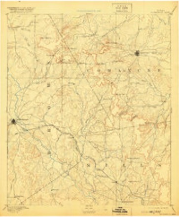
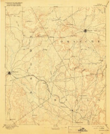
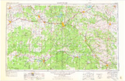
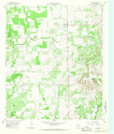
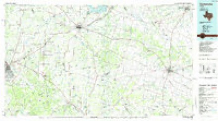
14 topographic sheets cover this place, the earliest surveyed in 1889 and the latest in 1985. It stands in the May census division. It lies in ZIP code area 76857. The Survey maps it on the May quadrangle.
Topographic sheets covering this place
5 surveys from 14 printed sheetsMatched by testing this settlement's coordinate against the published boundary of every sheet in the United States Geological Survey's historical collection. Each opens the scanned sheet at the Survey.
- 1889 USGS Brownwood quadrangle1:125000
- 1894 USGS Brownwood quadrangle1:125000, 6 printings
- 1954 USGS Brownwood quadrangle1:250000, 3 printings
- 1966 USGS May quadrangle1:24000, 2 printings
- 1985 USGS Comanche quadrangle1:100000, 2 printings
Fires near this place
47 since 2006Regional context, not property-specific evidence. The federal wildfire occurrence database lists 47 fires within 5 miles of May between 2006 and 2020, burning about 1,415 acres in total. 1 started naturally. 2 were recorded as arson. Distance is straight-line from the map coordinates, so a fire counted here may appear on a neighbouring settlement's page as well.
| Reported cause | Fires |
|---|---|
| Missing data/not specified/undetermined | 16 |
| Equipment and vehicle use | 13 |
| Debris and open burning | 12 |
| Arson/incendiarism | 2 |
| Recreation and ceremony | 1 |
| Smoking | 1 |
| Natural | 1 |
| Power generation/transmission/distribution | 1 |
The most recent of them, most recent first, with the day each was reported and the service that recorded it.
| Date | Cause | Size | Reported by | Name on the report |
|---|---|---|---|---|
| 4 September 2016 | Missing data/not specified/undetermined | 1.0 acres | Texas A & M Forest Service | FM 2273 |
| 28 September 2015 | Debris and open burning | 1.0 acres | Texas A & M Forest Service | CR 411 |
| 18 September 2015 | Debris and open burning | 5.0 acres | Texas A & M Forest Service | CR 131 US HWY 36 |
| 15 September 2017 | Equipment and vehicle use | 32 acres | Texas A & M Forest Service | CR 406 5006 |
| 15 September 2015 | Equipment and vehicle use | 1.0 acres | Texas A & M Forest Service | 100 CR 411 |
| 25 August 2015 | Debris and open burning | 1.0 acres | Texas A & M Forest Service | 2100 CR 411 |
| 2 August 2006 | Missing data/not specified/undetermined | 50 acres | Texas A & M Forest Service | CARSON FIRE |
| 9 July 2017 | Natural | 1.0 acres | Texas A & M Forest Service | 19000 CR 411, MAY |
Settlements close enough to share some of these fires:
Storms near this place
47 since 1993Regional context, not property-specific evidence. The National Weather Service names May in 47 storm reports between 1993 and 2024: 36 hail, 5 thunderstorm wind, 3 tornado, 2 flash flood. No death or injury is recorded in these reports. Each account below is quoted exactly as the forecast office filed it, from the NOAA Storm Events Database, and each date opens the federal record of that event.
| When | Event | Place named | Harm | What the report says |
|---|---|---|---|---|
| May 1995 | Tornado (F1) | May | $90,000 | A house was heavily damaged, a vacant mobile home was destroyed, several outbuildings were destroyed, and power lines were downed. |
| May 1994 | Thunderstorm Wind | May | $50,000 | Several houses were unroofed by thunderstorm winds. |
| October 1993 | Hail | May | $50,000 | This thunderstorm developed over eastern Colemean county and moved east, becoming severe over Brown county. Car windshields were knocked out at four miles SE of Bangs. Large tree limbs were reported downed in Brownwood. Extensive roof damage was reported in May from large hail. |
| May 2004 | Thunderstorm Wind | May | $10,000 | Strong thunderstorm winds damaged power poles, sheds and tree limbs. |
| May 2002 | Hail | May | $10,000 | Tennis ball size hail fell over northern Brown county in the early morning hours breaking out windows and damaging roofs. |
| May 1995 | Thunderstorm Wind | May | $2,000 | Power lines were blown down by high winds. |
| February 2024 | Hail | May | - | Public reported half dollar size hail. Also, public reported some window damage from the large hail. The time of the report was estimated from radar. The report was relayed through a social media account. |
| May 2024 | Flash Flood | May | - | Texas Department of Transportation reported that FM 583 in Brown County had been closed due to flooding. |
| May 2024 | Flash Flood | May | - | Texas Department of Transportation reported US 183 from Early to the Brown/Eastland County line had been closed due to flooding. |
| May 2017 | Tornado (EF1) | May | - | A National Weather Storm Survey team found evidence of an EF1 tornado with wind speeds of about 107 mph, which began about 3 miles southeast of May, Texas in Hogg Mountain. It moved southeast, then northeast and then turned back to the northwest and west. Because it was nearly stationary, the tornado appeared to rotate with the parent mesocyclone. The tornado uprooted many trees, snapped many tree trunks and branches of large Oak trees. The tornado tore off a roof of a mobile home, destroyed a chicken coop, damaged outdoor furniture, ripped off sheet metal from a barn and tossed it for over 100 yards. As the tornado continued to move west across County Road 478, it became about a half mile wide as it uprooted large Oak trees and snapped some tree trunks. Eyewitness accounts and a photograph indicated this tornado had multiple vortices. |
| May 2017 | Tornado (EF0) | May | - | A trained amateur radio spotter reported a tornado just northwest of May. |
| May 2016 | Hail | May | - | The fire department reported quarter size hail lasted for 15 to 20 minutes, beginning around 445 pm, 3 miles east of May on Farm to Market Road 1689. Also, 40 to 50 mph winds were reported. |
| May 2016 | Hail | May | - | A CoCoRaHS observer reported half dollar size hail, 5 miles southeast of May. |
| July 2015 | Flood | May | - | Numerous roads were closed in Brownwood and Brown County because of flooding. Residents were evacuated from the John Weaver Apartments on Market Place. |
| April 2014 | Thunderstorm Wind | May | - | The public reported a new metal roof peeled back on an outbuilding. An observer estimated wind speeds exceeding 60 mph. |
| May 2014 | Thunderstorm Wind | May | - | A trained spotter reported large tree limbs of 5 to 10 feet in length were downed by the damaging thunderstorm winds. |
| March 2013 | Hail | May | - | Pea size hail was reported, with some hailstones to half dollar size. This occurred over a thirty minute duration with accumulation up to 4 inches in depth. |
| December 2012 | Hail | May | - | Nickel sized hail with a few quarter sized hailstones were reported by a trained storm spotter. |
| May 2011 | Hail | May | - | Baseball to softball size hail was reported in May. |
| May 2000 | Hail | May | - | Hail larger than baseballs was reported near Williams. |
| September 1995 | Hail | May | - | Numerous streets were closed by high water. |
| March 2023 | Hail | May | - | no account filed |
| April 2022 | Hail | May | - | no account filed |
| April 2016 | Hail | May | - | no account filed |
| May 2016 | Hail | May | - | no account filed |
| May 2015 | Hail | May | - | no account filed |
| May 2015 | Hail | May | - | no account filed |
| May 2015 | Hail | May | - | no account filed |
| May 2015 | Hail | May | - | no account filed |
| May 2015 | Hail | May | - | no account filed |
| April 2015 | Hail | May | - | no account filed |
| October 2014 | Hail | May | - | no account filed |
| March 2014 | Hail | May | - | no account filed |
| May 2012 | Hail | May | - | no account filed |
| April 2011 | Hail | May | - | no account filed |
| April 2011 | Hail | May | - | no account filed |
| May 2009 | Hail | May | - | no account filed |
| May 2009 | Hail | May | - | no account filed |
| June 2009 | Hail | May | - | no account filed |
| December 2004 | Hail | May | - | no account filed |
| April 2003 | Hail | May | - | no account filed |
| May 2002 | Hail | May | - | no account filed |
| September 2001 | Hail | May | - | no account filed |
| September 2001 | Hail | May | - | no account filed |
| May 2000 | Hail | May | - | no account filed |
| June 1997 | Hail | May | - | no account filed |
| September 1996 | Hail | May | - | no account filed |
Nearest settlements
The eight closest, with where each one stands in the county. Distances are straight-line, computed from the Geographic Names Information System coordinates.
| Map | Place | Distance | Sheets |
|---|---|---|---|
| Holder | 5.6 miles | 14 | |
| Williams | 6.0 miles | 9 | |
| Byrds | 7.9 miles | 17 | |
| Owens | 9.1 miles | 14 | |
| Lake Brownwood | 11.0 miles | 17 | |
| Cross Cut | 11.9 miles | 9 | |
| Blanket | 12.8 miles | 14 | |
| Delaware Junction | 13.6 miles | 14 |
Provenance
This settlement is recorded in the Geographic Names Information System as feature 1341103. The sheet list is computed by point-in-boundary test against the United States Geological Survey's historical topographic inventory. Both are works of the United States government and carry no copyright under 17 U.S.C. 105.
Wildfire. Short, Karen C. 2022. Spatial wildfire occurrence data for the United States, 1992-2020 [FPA_FOD_20221014]. 6th Edition. Fort Collins, CO: Forest Service Research Data Archive. https://doi.org/10.2737/RDS-2013-0009.6 Collected with United States Government funding and usable without additional permissions or fees.
Storms. NOAA National Centers for Environmental Information, Storm Events Database https://www.ncei.noaa.gov/stormevents/ A work of the United States government, no copyright under 17 U.S.C. 105. Narratives are quoted verbatim from the National Weather Service report and are not edited or summarised.