 Block
BlockFrom the record
4 National Register listings published here.
Sources: the National Register database, National Park Service
64 topographic sheets and 14 fire insurance atlases across 2 places.
4 National Register listings published here.
Sources: the National Register database, National Park Service
Every property in this county listed on the National Register of Historic Places, with the year it was listed and the federal nomination document.
| Photograph | Property | Type | Listed | Reference |
|---|---|---|---|---|
 | Cass County Courthouse | building | 1979 | 79002924 |
| Macedonia School Vocational Building | building | 2026 | 100012546 | |
 | Mathews-Powell House | building | 1977 | 77001431 |
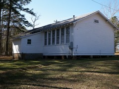 | Pleasant Hill School | building | 2004 | 04000891 |
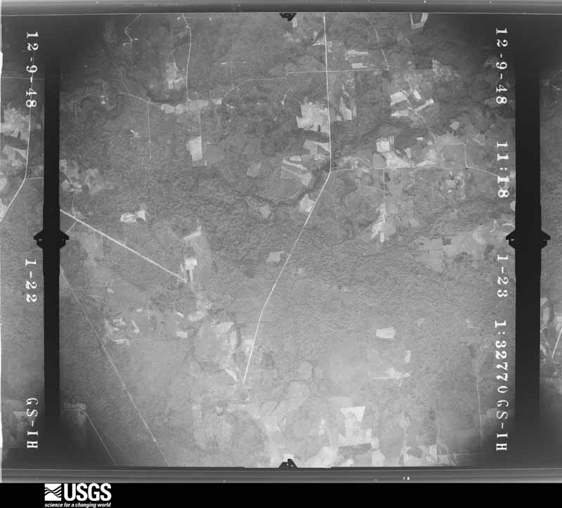
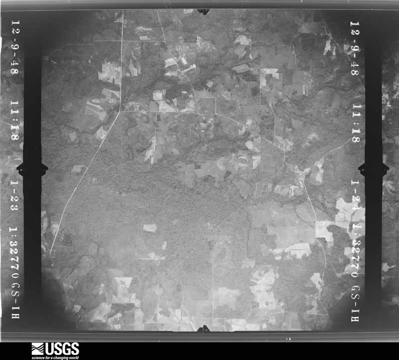
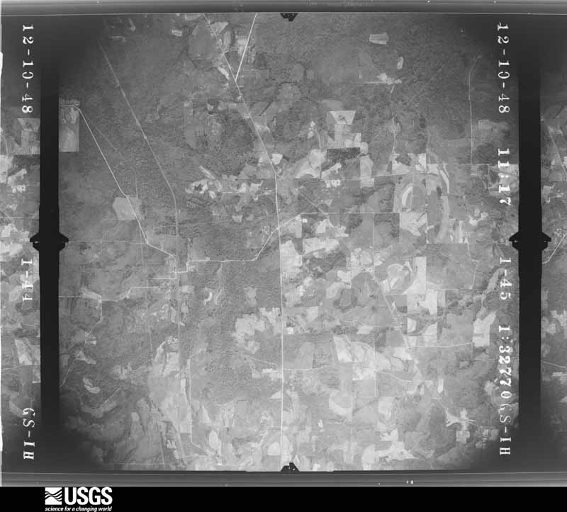
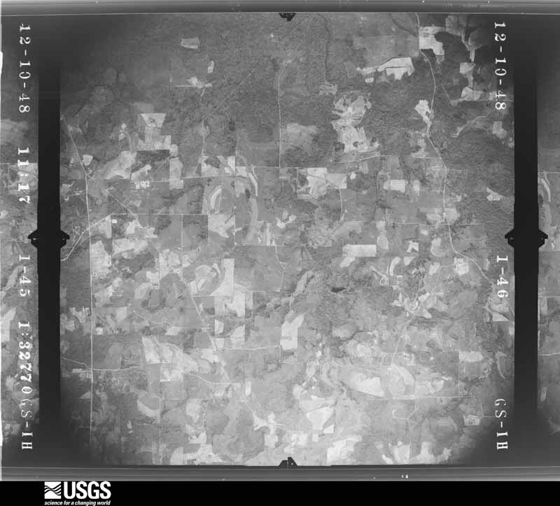
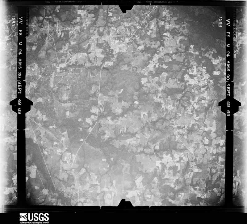
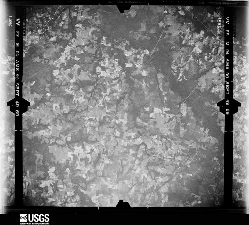
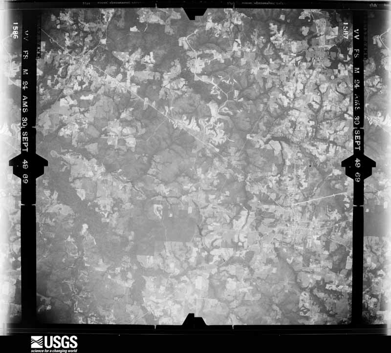
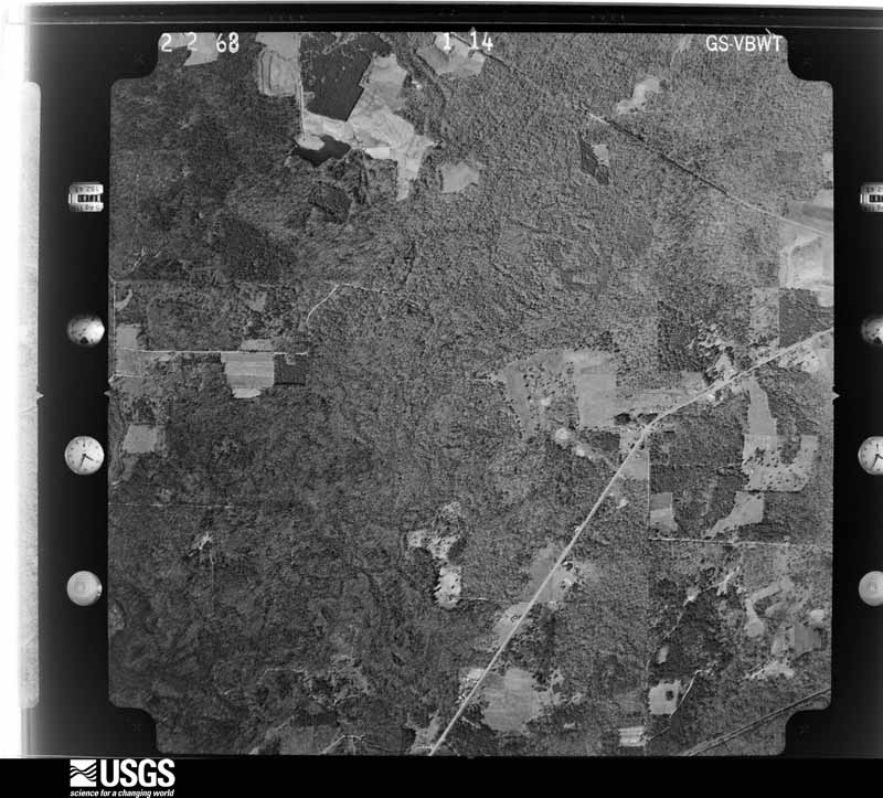
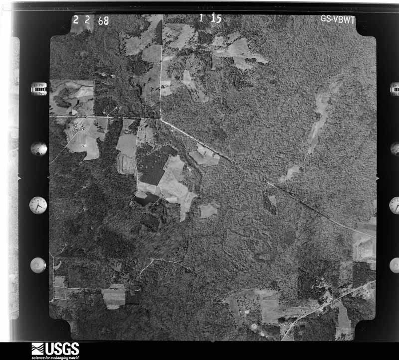
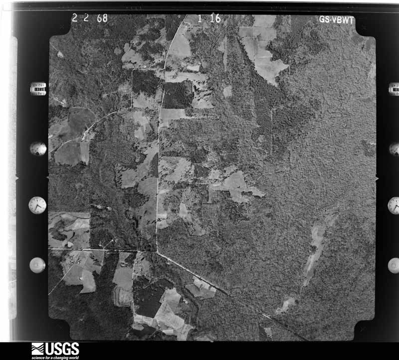
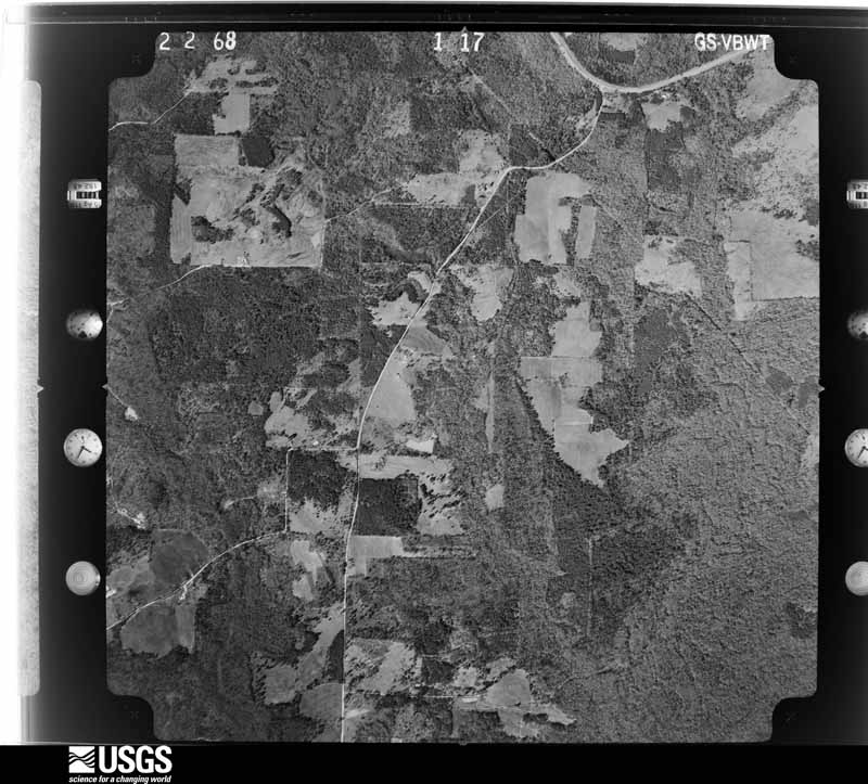
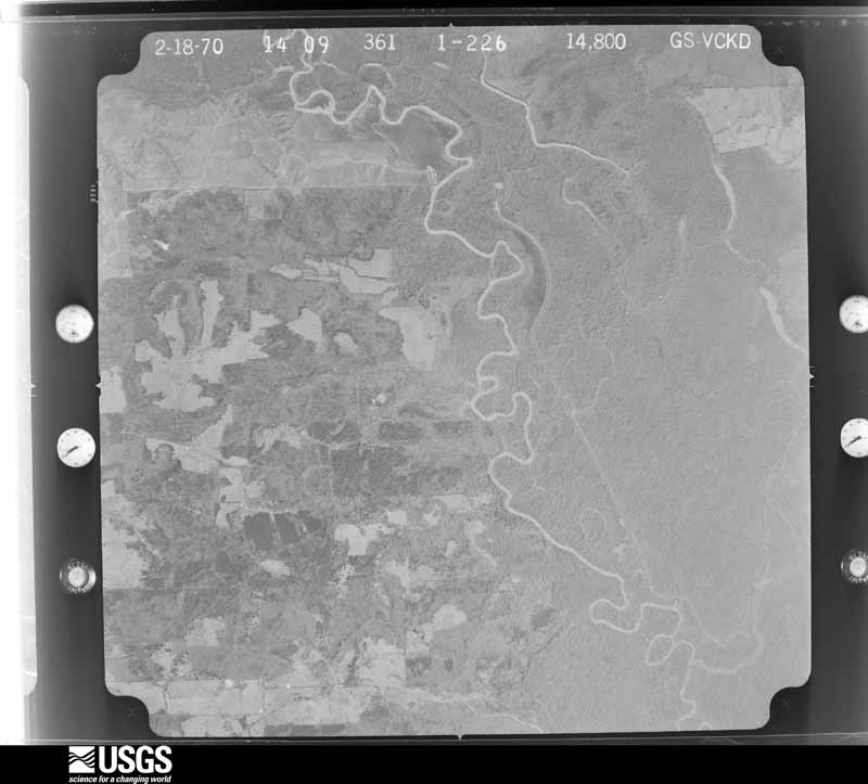
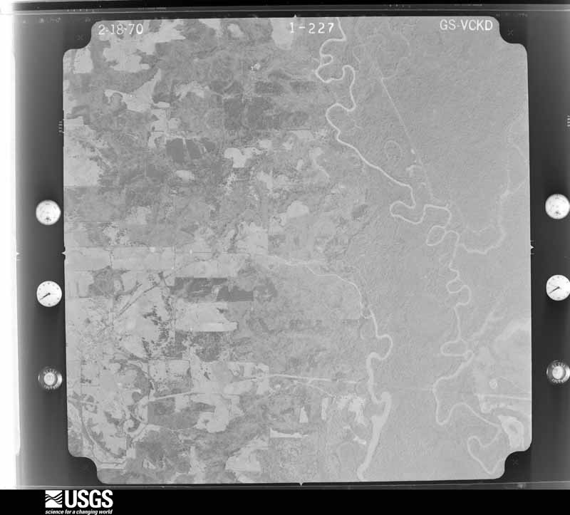
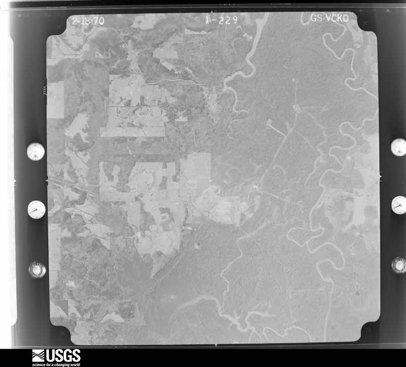
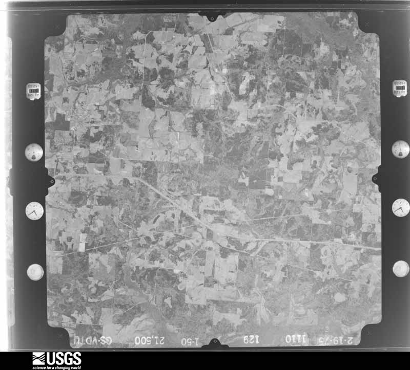
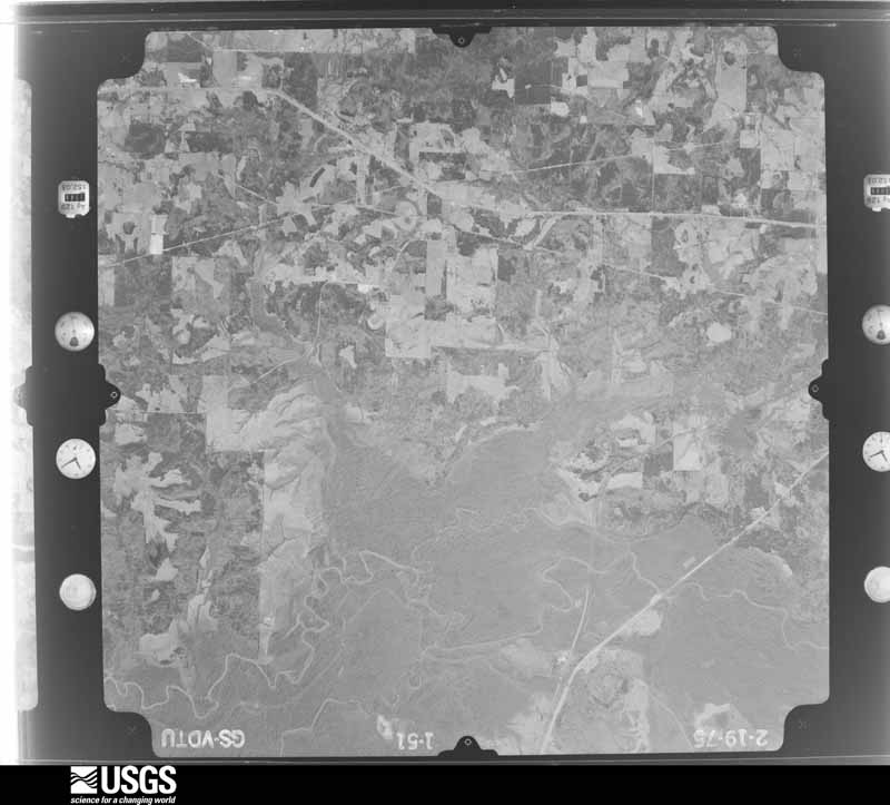
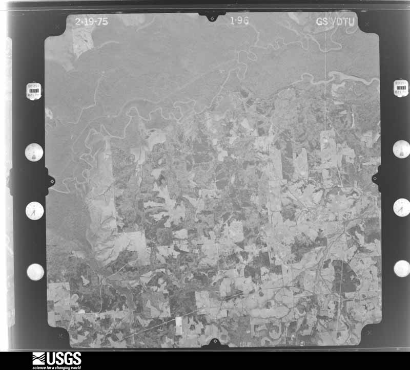
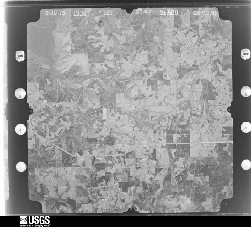
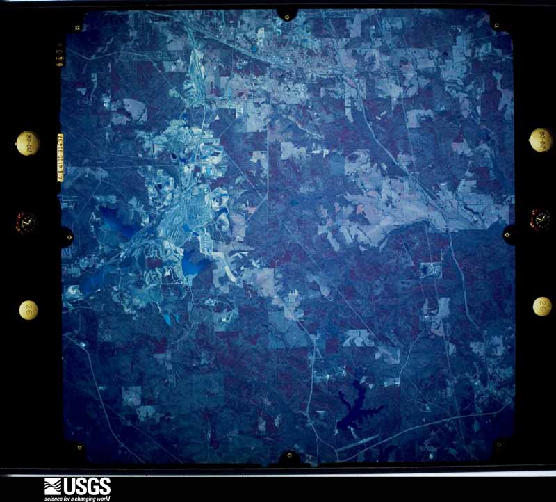
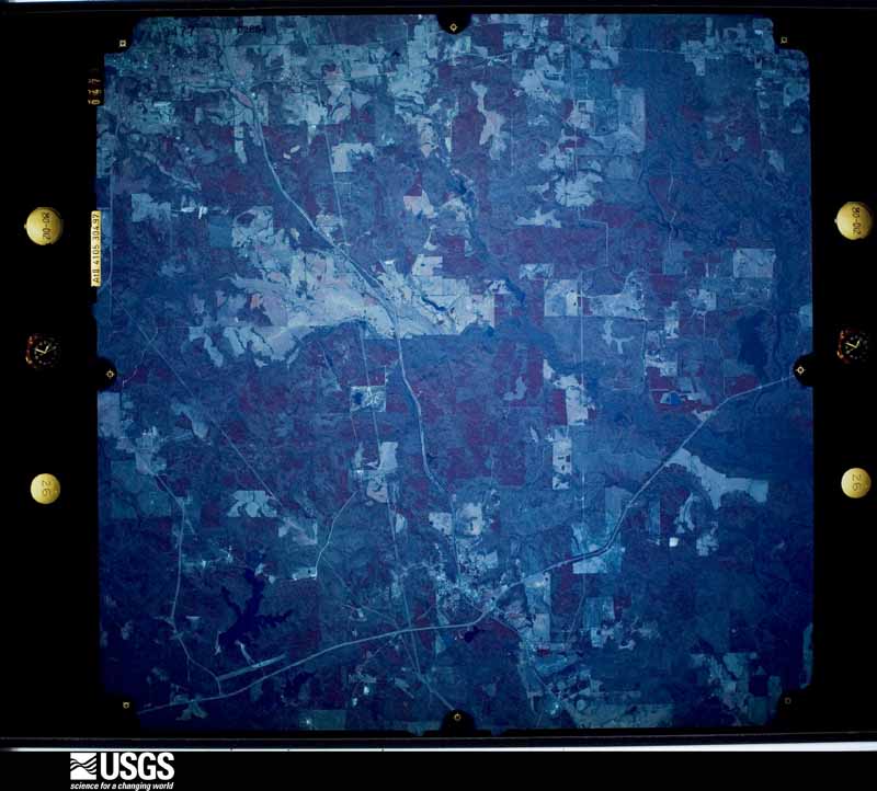
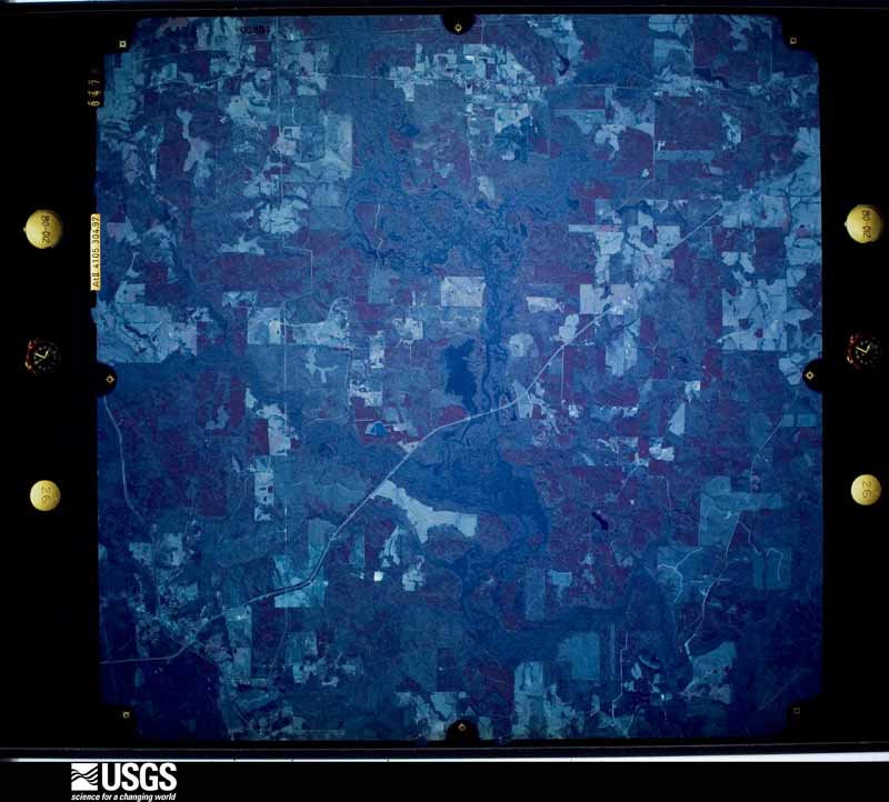
Flown by the U.S. Geological Survey between 1937 and 1989, the Aerial Photo Single Frames collection is the definitive mid-century view of the land: fields, roads and rivers as the camera saw them. The Survey holds 1,086 frames inside the rectangle that bounds this county; the 48 frames below were taken over the county itself, chosen across the decades of flights (at most four a year from that rectangle), so one flight cannot crowd out the rest. The full set is free to browse and download at EarthExplorer under the dataset Aerial Photo Single Frames.

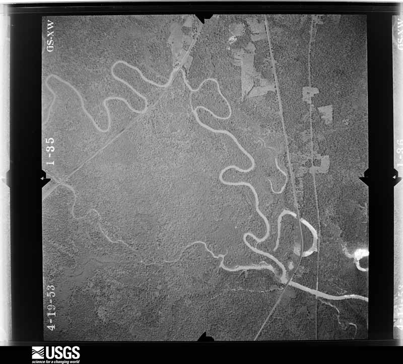
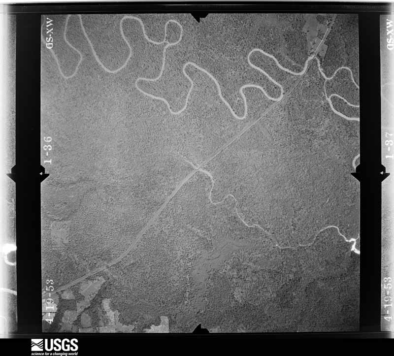
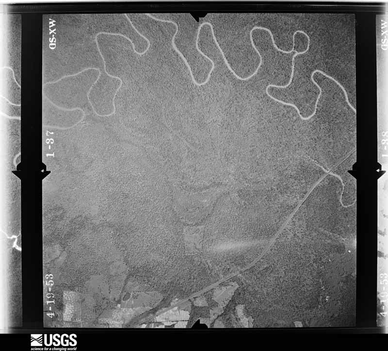
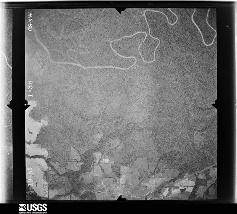
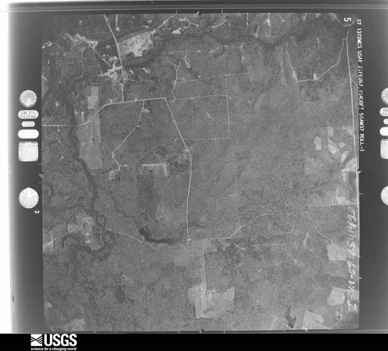
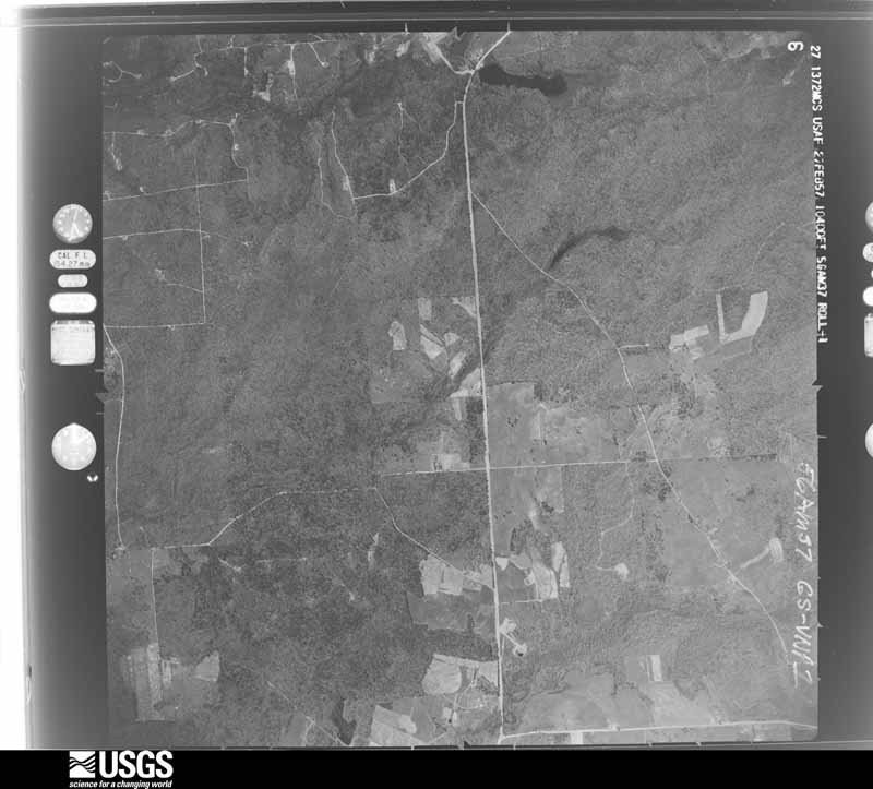
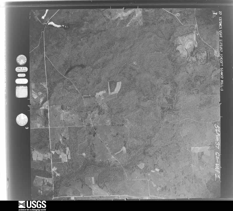
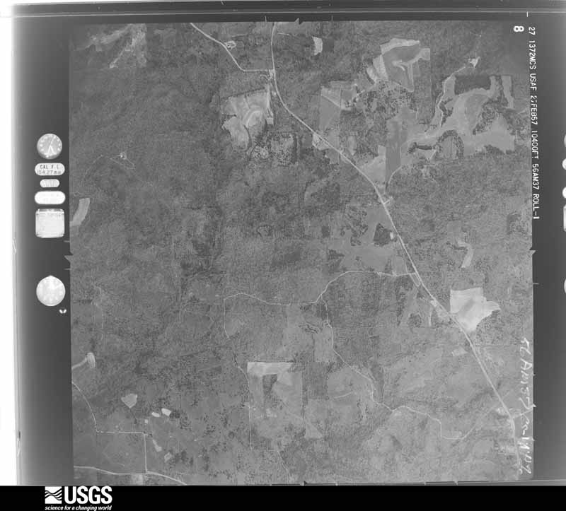
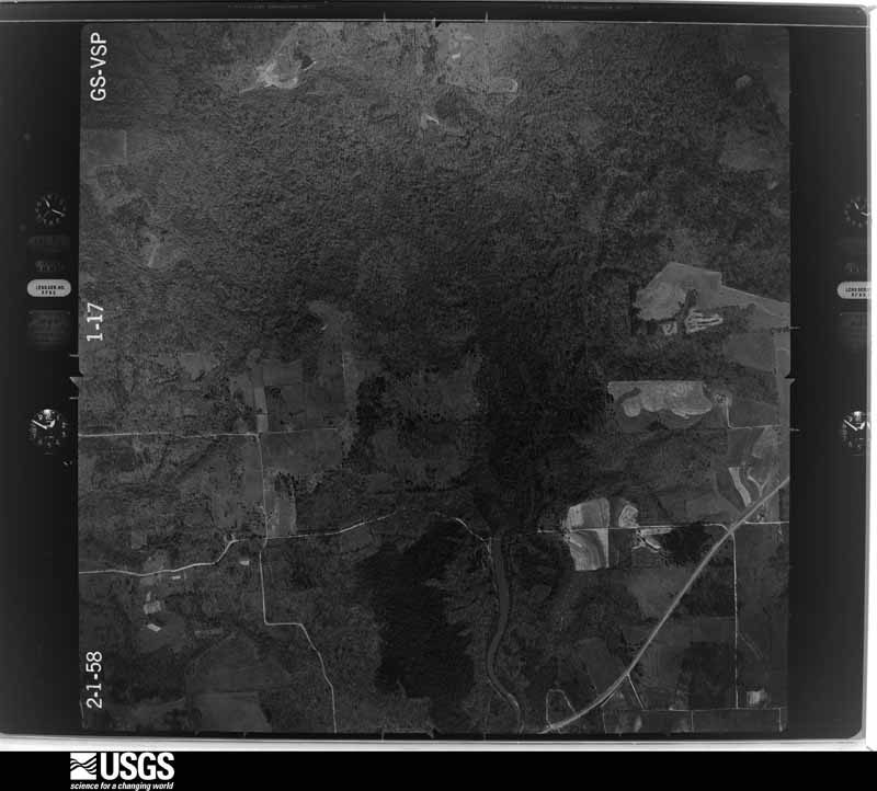
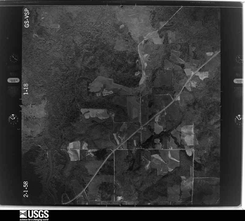
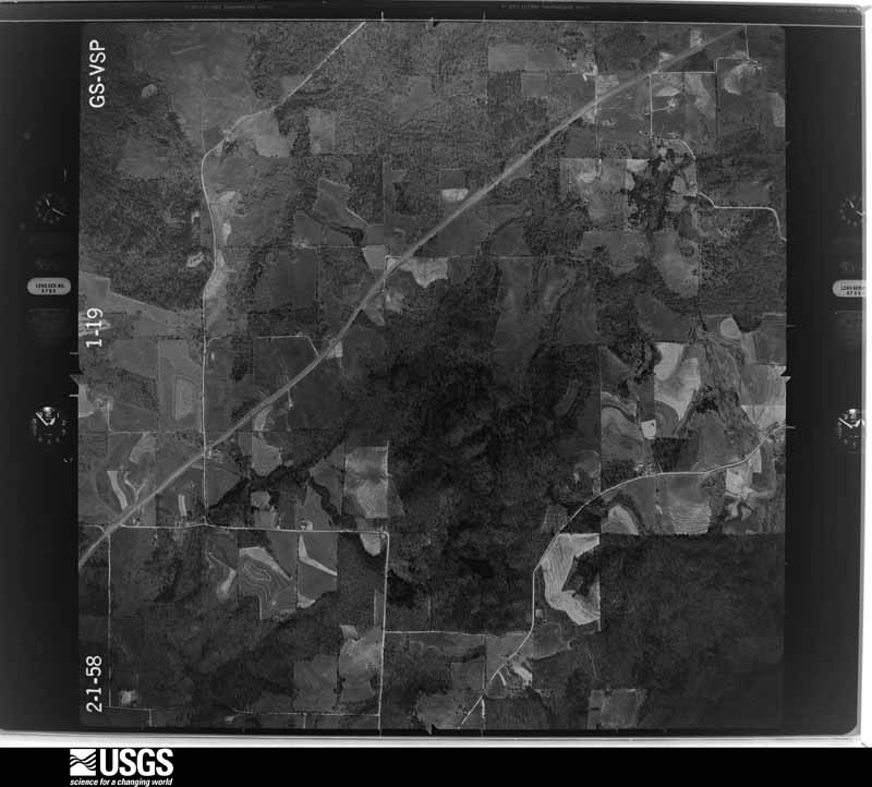
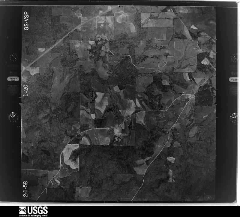




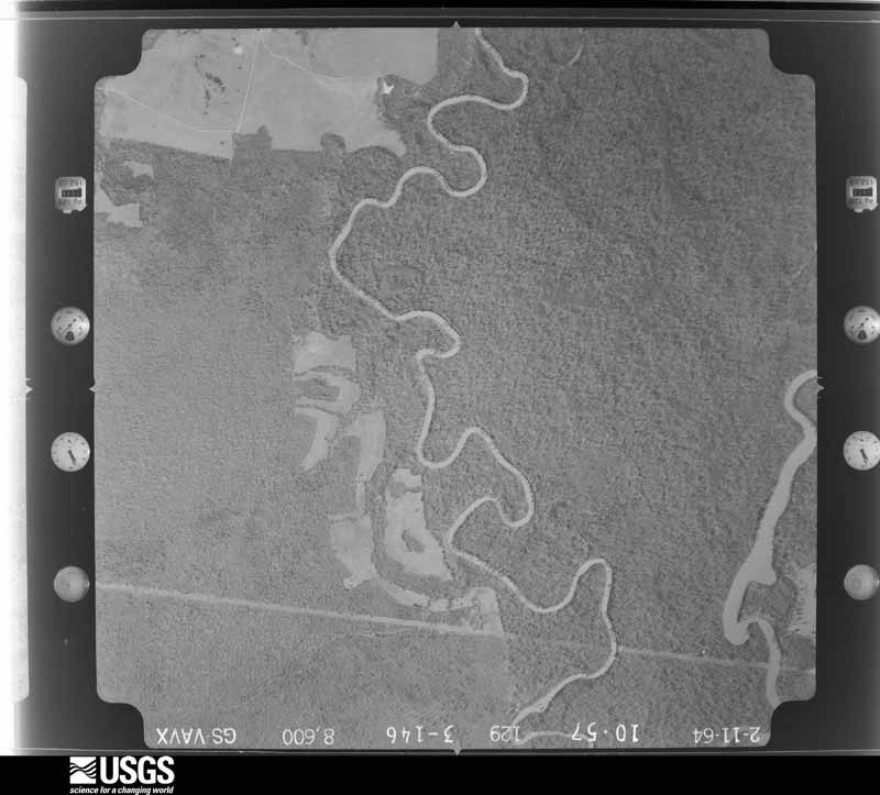
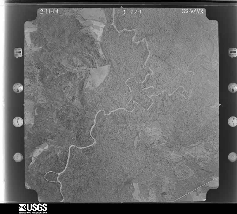
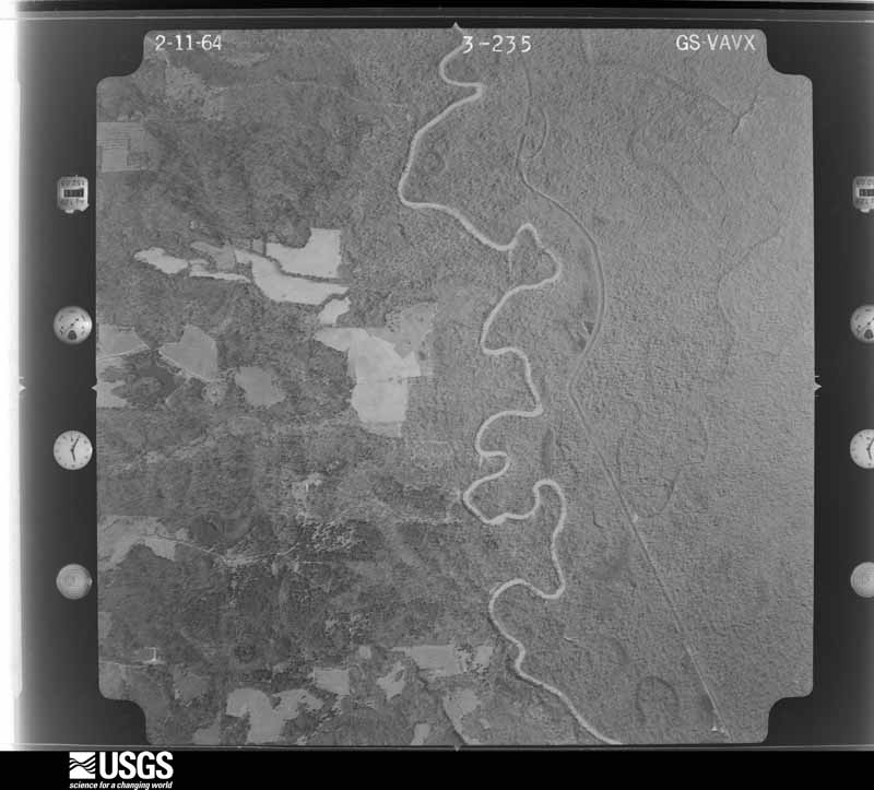
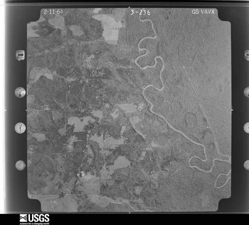






The thermometers that kept this county's weather, and the gages that measured the flow of its streams, as the federal records hold them. The extremes below are measured values from those records, not estimates.
Who lived here in 1950, one enumeration district at a time, as the Census Bureau described each district. Each row opens its official National Archives result, with Population Schedules and ED Maps available there.
Every wildfire the federal occurrence database records inside this county: 2,745 of them, burning about 60,036 acres. 134 started naturally and 405 were recorded as arson. Each settlement page carries the fires within five miles of it.
| Reported cause | Fires |
|---|---|
| Debris and open burning | 1414 |
| Missing data/not specified/undetermined | 432 |
| Arson/incendiarism | 405 |
| Equipment and vehicle use | 137 |
| Natural | 134 |
| Power generation/transmission/distribution | 100 |
| Railroad operations and maintenance | 33 |
| Smoking | 30 |
| Recreation and ceremony | 30 |
| Misuse of fire by a minor | 17 |
| Fireworks | 10 |
| Other causes | 3 |
The five largest, by the area the report gives. Three of them were set deliberately.
| Date | Cause | Size | Reported by | Name on the report |
|---|---|---|---|---|
| 4 September 2011 | Missing data/not specified/undetermined | 41,050 acres | Texas A & M Forest Service | BEAR CREEK FIRE |
| 5 September 2011 | Missing data/not specified/undetermined | 902 acres | Texas A & M Forest Service | HOOTSVILLE FIRE |
| 31 August 2000 | Missing data/not specified/undetermined | 380 acres | Texas A & M Forest Service | LINDEN - 321 |
| 11 September 2011 | Arson/incendiarism | 312 acres | Texas A & M Forest Service | LINDEN - 575 |
| 13 February 1996 | Arson/incendiarism | 300 acres | Texas A & M Forest Service | not named |
| 15 November 1999 | Arson/incendiarism | 200 acres | Texas A & M Forest Service | not named |
| 13 March 2013 | Missing data/not specified/undetermined | 177 acres | Texas A & M Forest Service | FRAZIER CREEK FIRE |
| 9 March 2006 | Railroad operations and maintenance | 170 acres | Texas A & M Forest Service | HWY 251 FIRE |
Every settlement page carries the fires within five miles of it - see the settlement index below.
The NOAA Storm Events Database holds 655 reports for this county, causing no deaths, 11 injuries and about $8,810,810 in recorded property damage. Each settlement page carries the reports that name it.
| Kind of event | Reports |
|---|---|
| Thunderstorm Wind | 275 |
| Hail | 267 |
| Tornado | 71 |
| Flash Flood | 32 |
| Funnel Cloud | 5 |
| Lightning | 2 |
| Flood | 2 |
| Heavy Rain | 1 |
The most serious of them, by death, then injury, then recorded damage. The accounts are quoted exactly as the forecast office filed them.
| When | Event | Place named | Harm | What the report says |
|---|---|---|---|---|
| February 1950 | Tornado (F2) | not stated | 6 hurt, $250,000 | no account filed |
| April 1955 | Tornado (F1) | not stated | 2 hurt, $2,500 | no account filed |
| January 2013 | Thunderstorm Wind | Hughes Spgs | 1 hurt, $30,000 | Two travel trailers were rolled with a few dumpsters moved as well. One injury was reported inside the trailer with cuts to his face after the trailer was rolled. |
| April 1954 | Tornado (F3) | not stated | 1 hurt, $25,000 | no account filed |
| June 2023 | Thunderstorm Wind | Antioch | 1 hurt | Large tree down on an RV in Atlanta State Park, with occupant injured. |
| June 2023 | Tornado (EF2) | Antioch | $2,000,000 | An EF-2 tornado with estimated maximum winds near 120 mph initially produced damage along the shore of Wright Patman Lake. It snapped and uprooted hundreds of hardwood and softwood trees along its path, first crossing CR-3555. After it crossed CR-3555, it peeled part of a roof off of a single family home. The tornado continued to snap and uproot trees as it paralleled CR-3555 and crossed CR-3551 and CR-3554. The tornado strengthened to EF-2 intensity as it crossed CR-3659 and produced more widespread snapping of trees. As the tornado continued on, its most intense damage was at a two-story industrial facility along US-59. The tornado tore off the roof and damaged walls of the facility, bending and breaking parts of metal frame of its roof structure. ||After crossing US-59 and tossing vehicles, the tornado snapped more trees on the other side of the road. The tornado weakened some with more uprooting and sporadic tree snaps as it crossed FM-2327, CR-3781, CR-3778, FM-3129, and CR-3886. It finally lifted as it crossed CR-3889 as damage transitioned to all straight-line wind damage with winds estimated at 80 to 90 mph as the storm continued to the border of Cass County, Texas and Miller County, Arkansas. |
| November 2022 | Tornado (EF2) | Hughes Spgs | $2,000,000 | The tornado first touched down just to the southwest of Hughes Springs and then moved northeast into the city limits, where EF-1 damage was noted. Two single family residences sustained damage to the roofs with partial roof removal. The forest station on Pine Street also sustained damage to the roof and walls. Additionally, numerous large trees were downed along the path. Damage continued along CR-2994, just northeast of Hughes Springs, where two well-built homes sustained substantial roof damage consistent with an EF-2 rating. As the tornado continued on its path, it continued to cause EF-1 damage through more rural areas of Cass County, with a consistent path of snapped and uprooted softwood and hardwood trees. The tornado began to intensify near Cusseta, with a tornado debris signature appearing on radar. Here, the tornado caused widespread EF-2 damage to countless hardwood and softwood trees. Trees were snapped and twisted over an extensive area of ground, with the tornado causing EF-1 damage to an old structure located on a small hill. The tornado began to weaken on the north side of Texas Highway 77 west of Douglassville, but not before snapping more hardwood and softwood trees on both sides of the highway. Through the use of high resolution satellite imagery, the track was found to be continuous in areas that originally could not be surveyed by ground. |
| April 2009 | Tornado (EF2) | Boon Hall | $750,000 | This storm developed about 5 miles northwest of Linden in central Cass County near CR 1459 around 8:05 pm. Numerous trees were downed, with a tree crushing a truck, and another tree falling through the roof of a house. This tornado intensified along CR 1399, where a two-story home was nearly destroyed. The storm continued east across Highway 8 about 2 miles north of Linden, where the roof of a two story house was torn off, and a portable building behind the home was blown nearly 400 yards east across Highway 8 into some nearby woods. The tornado lifted around 8:31 pm near the intersection of CR 2328 and Highway 43 about a mile and a half north of Bivins. This tornado was rated an EF2, with winds around 125 mph. The path length was nearly 16 miles long, with a path width of 190 yards. |
| July 2009 | Flash Flood | Atlanta Muni Arpt | $500,000 | Numerous roads and highways were underwater in Atlanta, Texas. Several roads were closed. Water was also reported in a few homes in town with evacuations needed. Several high water vehicle rescues were also reported in town. Several roads were also washed out including FM 1841. |
| August 1994 | Thunderstorm Wind | Hughes Springs | $500,000 | Fourteen streets were blocked by fallen trees. Two cars were crushed and roofs were damaged by falling trees. Power lines were also blown down. |
| October 2009 | Thunderstorm Wind | Linden | $325,000 | Numerous trees were downed along with power lines in Linden, Texas. A home east of Hughes Springs, Texas was heavily damaged when a tree fell on it. The master bedroom was destroyed and adjacent portions of the home suffered wind and water damage. Also, the roof was taken off a barn. At the height of the storm, 100 roads throughout the county had trees across them. Another tree fell on top of a large travel trailer in the Hughes Springs community. |
| July 2009 | Flash Flood | Atlanta Muni Arpt | $250,000 | Local emergency manager reported a total of 11 high water rescues from stalled vehicles in flooded roadways around and close to the city. Four children were rescued from a flooded home on Thomas Street and another 5 homes in various portions of the city were evacuated due to flooding. Two other flood related vehicle rescues were also made in Queen City with several homes evacuated. Two residents on CR 1896 were driving on the road in a truck when they spotted a woman hanging onto a fence post in rushing flood waters with a disabled vehicle. The occupants of the truck attempted to drive the truck close enough to rescue the woman but their vehicle was also disabled by the high water. Another resident of the county road brought a boat with him and all victims were rescued. |
| April 2000 | Tornado (F2) | Marietta | $250,000 | Tornado developed in a high precipitation supercell as it moved east across the county. This tornado was one of several that occurred. Tornado tracked eastward along Hwy 77 and crossed through downtown Douglassville at Hwy 8 then continued east into the woods before lifting. Several homes, mobile homes, and businesses were damaged including the Post Office. |
| November 1987 | Tornado (F3) | not stated | $250,000 | no account filed |
| November 1971 | Tornado (F2) | not stated | $250,000 | no account filed |
| June 1997 | Thunderstorm Wind | Linden | $170,000 | Severe thunderstorms which produced so much damage across northeast Texas continued to move east into Cass County. Numerous trees and power lines were toppled. A total of 50 telephone poles were broken in the city smashing cars and homes. Plenty of warning was received that no injuries occurred. |
| April 2000 | Tornado (F3) | Linden | $165,000 | This tornado developed in a high precipitation supercell as it moved eastward across the county. This was one of several tornadoes that occured. The tornado tracked eastward across wooded territory and farmland. Several barns and 2 cross country electrical towers were toppled. |
| March 2022 | Tornado (EF1) | Lanark | $100,000 | An EF-1 tornado with estimated maximum winds near 100 mph embedded within a quasi-linear convective system (QLCS) briefly touched down on County Road 3658, before crossing Highway 59 between the Queen City and Domino communities. The tornado continued to track northeast, crossing County Road 3664 before lifting near County Road 3665. Numerous trees were uprooted along the tornado's path, and destroyed several metal outbuildings while damaging the roofs of manufactured homes along County Roads 3658 and 3664 before lifting. |
| October 2008 | Tornado (EF0) | Atlanta | $75,000 | An EF0 tornado occurred near Hwy. 77 and moved north approximately 1.5 miles. A storage building was destoyed and a carport was lifted from a home and dropped in a yard along County Road 4798. A large tree fell across a parked vehicle near a residence as well. A utility trailer was picked up and thrown into the side of another parked vehicle. There were no injuries reported. Multiple trees were snapped or downed along the 100 yard wide path. |
| March 2022 | Tornado (EF2) | Avinger Mckenzie Arp | $50,000 | This is a continuation of the Upshur/Western Marion/Southeast Morris County EF-2 tornado. This tornado, which maintained an EF-1 rating with estimated maximum winds around 105 mph, continued to uproot and snap trees and Southwest and Central Cass County with damage becoming more sporadic and narrow as it tracked northeast across FM 161, County Road 1599, Highway 49, County Road 1577, Highway 11, before finally lifting just east of Highway 130. The most significant damage occurred off of Highway 11 where a metal roof of a home was damaged. The total path length of this tornado which originated in Central Upshur County was 40.15 miles. |
| April 2011 | Thunderstorm Wind | Hughes Spgs | $50,000 | Multiple trees down all across the county but especially in Hughes Springs. One tree fell on a building with people trapped inside. There were no report of any injuries. |
| May 2010 | Tornado (EF0) | Bivins | $50,000 | Damage consisted of many hardwood trees uprooted, numerous tree limbs down, minor roof and siding damage to about 7 homes, and minor roof damage to one church. |
| April 2009 | Tornado (EF0) | Huffins | $50,000 | This storm developed along CR 4670, about 5 miles northeast of Bivins, at around 8:41 pm. Numerous trees were snapped or blown down as the storm continued east to Highway 77, about a mile from the Texas/Arkansas/Louisiana state line, before lifting around 8:47 pm. This tornado was rated an EF0, with winds around 75 mph. The path length was 2.4 miles, with a path width of 75 yards. |
| May 1994 | Thunderstorm Wind | Avinger | $50,000 | Numerous trees were blown down by thunderstorm winds. |
| August 1994 | Thunderstorm Wind | Linden | $50,000 | Roofs were damaged and trees were blown down by high winds. |
| June 1994 | Thunderstorm Wind | Atlanta | $50,000 | A sheet metal roof was blown off a business and into some power lines. There were numerous reports of downed trees and power lines. |
| January 1999 | Thunderstorm Wind | Atlanta | $40,000 | Damage to the roof of the local high school. |
| October 1996 | Tornado (F1) | Linden | $35,000 | no account filed |
| July 2024 | Tornado (EF1) | Patman | $30,000 | An EF-1 tornado with estimated maximum winds near 110 mph touched down between CR 2993 and CR 2915 east of Hughes Springs. Upon crossing CR 2993, the tornado uprooted multiple trees and snapped a wooden power pole near its base. The tornado continued west-northwest across a wooded area south of CR 2911, before crossing CR 2910, snapping and uprooting more trees. The tornado then took a more westerly course along the south side of Highway 11, with the tornado widest here, as trees on the north side of the highway were snapped and uprooted towards the south and east. Tree damage was observed west along Highway 11 to the Highway 49 intersection, before it became more isolated, and large limbs were snapped as the tornado lifted just before moving into Hughes Springs. |
| March 2002 | Thunderstorm Wind | Atlanta | $30,000 | no account filed |
| March 2023 | Tornado (EF1) | Huffins | $25,000 | This EF-1 tornado, with estimated maximum winds near 104 mph, occurred in the very rural southeastern portion of Cass County, well south of the city of Atlanta. A majority of the concentrated damage occurred at the start of the tornado along FM Road 251, where the tornado downed or snapped many hardwood and softwood trees. The tornado continued northward for another mile, crossing County Road 4556 and then ending as it crossed County Road 4555. There were a few outbuildings damaged by the wind with some homes and other structures also damaged, mainly due to impact from large limbs and trees falling on top of them. Fortunately, there were no injuries or fatalities associated with the tornado. |
| January 2017 | Tornado (EF2) | Bogus Spgs | $25,000 | This is a continuation of the EF-2 tornado that initially touched down just west of the Smithland community in Marion County. This tornado continued northeast across County Road 4455 in extreme Southeast Cass County, snapping and uprooting numerous trees as it crossed Cass County Line Road along the Cass County Texas/Caddo Parish Louisiana line. The tornado intensified as it approached Cass County Line Road, where it snapped numerous trees and only removed a few shingles off of a home on the Texas side. Winds were estimated near 115 mph in this area as it continued northeast into Western Caddo Parish Louisiana between Vivian and Rodessa. |
| March 2013 | Thunderstorm Wind | Atlanta | $25,000 | Several trees were downed, including one that fell on a house and another on a car in Atlanta, Texas. There were no reports of injuries. |
| December 1982 | Tornado (F2) | not stated | $25,000 | no account filed |
| May 1982 | Tornado (F1) | not stated | $25,000 | no account filed |
| December 1968 | Tornado (F2) | not stated | $25,000 | no account filed |
| May 1958 | Tornado (F2) | not stated | $25,000 | no account filed |
| May 2009 | Flash Flood | Bloomburg | $20,000 | Excessive heavy rainfall resulted in water in a home near Bloomberg, Texas. |
| July 2008 | Thunderstorm Wind | Atlanta | $15,000 | Numerous trees were downed in Atlanta, Texas. One tree was down on a home in town. Power lines were downed across town as well. |
| June 2006 | Thunderstorm Wind | Linden | $15,000 | Reports of several rural buildings with wind damage. |
| March 2013 | Thunderstorm Wind | Jennings Lake | $10,000 | A roof was blown off an outbuilding near Simms, Texas. |
| October 2009 | Flash Flood | Linden | $10,000 | High water was reported across Hwy. 59 in town. In addition, one foot of water flooded the Westside Baptist Church in Atlanta, Texas. |
| April 2009 | Tornado (EF1) | Hughes Spgs | $10,000 | This storm developed about 100 yards inside the Morris County line, very near the Cass County line, about 5 miles northwest of Hughes Springs. This tornado first touched down just west of County Line Road near FM 130 in eastern Morris County, continuing east across CR 2865, before lifting near FM 250 north of FM 130. Numerous trees were uprooted and snapped, with power lines downed as well. This tornado was rated an EF1, with winds of around 90 mph. |
| July 2008 | Thunderstorm Wind | Queen City | $8,000 | An awning was torn off a home on Farm to Market 2328 just north of Queen City, Texas. Windows were blown out of the home as well. |
| August 1999 | Thunderstorm Wind | Linden | $8,000 | Trees and power lines down in town. |
| May 2014 | Thunderstorm Wind | Red Hill | $5,000 | Wind damage was reported to a roof at Hwy. 8 and the CR. 1238 intersection. |
| April 2011 | Tornado (EF0) | Hughes Spgs | $5,000 | The National Weather Service conducted a storm survey in southwest Cass County and concluded that the damage was the result of an EF0 tornado. The tornado first touched down on the southwest side of Hughes Springs where several trees were snapped near FM 250. The storm then continued on a northeast trajectory downing trees onto powerlines and removing shinges from a home along FM 2984. As the storm continued to move northeast, several trees were uprooted, some large in nature, with shingles removed from a business along the east side of town. The tornado lifted just after downing 6 large pecan trees near a resident on FM 2992.|One of the large limbs from the trees punctured the back of his roof and damaged a storage building nearby. Estimated wind speeds were 75-80 mph. |
| April 2010 | Tornado (EF0) | Queen City | $5,000 | An EF0 tornado touched down on the west side of Queen City at around 7:41 PM CDT, about one mile west of Queen City, along Highway 96, where it uprooted a large tree. The tornado proceeded into Queen City where it caused damage to several large tree limbs and branches and caused moderate damage to the roof of a building. This tornado then exited Cass County, Texas and moved into Miller County, Arkansas. |
| May 1997 | Lightning | Atlanta | $5,000 | Lightning struck a home resulting in a small house fire. |
| November 1994 | Thunderstorm Wind | Hughes Springs | $5,000 | Trees were blown down by high winds. |
| April 1994 | Thunderstorm Wind | Queen City | $5,000 | Numerous trees were blown down by strong winds. |
| May 1994 | Thunderstorm Wind | Avinger | $5,000 | Several trees were blown down by thunderstorm winds. |
| November 1994 | Thunderstorm Wind | Linden | $5,000 | A barn was damaged and numerous trees were blown down by high winds. |
| November 1994 | Thunderstorm Wind | Atlanta | $5,000 | Trees were blown down by high winds onto Highway 43. |
| November 1994 | Thunderstorm Wind | Avinger | $5,000 | Trees and power lines were blown down onto Highway 49 east of Avinger. |
| May 1994 | Thunderstorm Wind | Springdale | $5,000 | Some trees were blown down by thunderstorm winds. |
| May 1994 | Thunderstorm Wind | Kellyville | $5,000 | Some trees were blown down by thunderstorm winds. |
| May 1994 | Thunderstorm Wind | Harris Chapel | $5,000 | Trees were blown down by thunderstorm winds. |
| May 1994 | Tornado (F0) | Hughes Springs | $5,000 | A brief tornado touchdown blew down some trees. |
| August 1994 | Thunderstorm Wind | Avinger | $5,000 | Trees were blown down by thunderstorm winds. |
The Survey's mineral resources record lists 49 workings inside this county. 4 still produce and 45 are closed or unrecorded. Each settlement page carries the workings within five miles of it.
| Commodity | Workings |
|---|---|
| Iron | 45 |
| Iron, Sand and Gravel, Construction | 1 |
| Iron, Stone | 1 |
| Silica, Clay | 1 |
| Sulfur | 1 |
The least common of them first, because a county's hundredth gravel pit says nothing its first ten did not.
| Where | Site | Commodity | Status | Recorded |
|---|---|---|---|---|
| Bryans Mill | Sulfur | Producer | ||
| John Stone Hill Deposit | Iron, Sand and Gravel, Construction | Producer | Glauconite, Goethite, Hematite | |
| Knight-Field Deposit | Iron, Stone | Occurrence | Goethite, Hematite, Siderite | |
| Unknown | Silica, Clay | Past Producer | ||
| Atlanta | Iron | Unknown | ||
| Atlanta Deposit | Iron | Past Producer | Goethite, Hematite | |
| Avinger | Iron | Unknown | ||
| Bear Creek | Iron | Occurrence | ||
| Bear Creek Deposit | Iron | Occurrence | Goethite, Hematite | |
| Bivens | Iron | Occurrence | ||
| Bivins Deposit | Iron | Past Producer | Goethite, Hematite, Siderite | |
| Bonanza Mining Company | Iron | Past Producer | ||
| Bowie Hill | Iron | Unknown | ||
| Bowie Hill Deposit | Iron | Past Producer | 1864 | |
| Chambers-Hughes | Iron | Occurrence | ||
| Chambers-Hughes Deposit | Iron | Occurrence | Goethite, Hematite, Siderite | |
| Concord School | Iron | Occurrence | ||
| Concord School Deposit | Iron | Occurrence | Goethite, Hematite, Siderite | |
| Duncan | Iron | Occurrence | ||
| Duncan Deposit | Iron | Occurrence | Goethite, Hematite | |
| Ed West | Iron | Occurrence | ||
| Ed West Deposit | Iron | Occurrence | Goethite, Hematite | |
| Goodson-Prewitts Lake | Iron | Occurrence | ||
| Goodson-Prewitts Lake Deposits | Iron | Occurrence | Goethite, Hematite, Siderite | |
| Harris | Iron | Occurrence | ||
| Harris Deposit | Iron | Occurrence | Goethite, Hematite | |
| Hickory Hill Occurrence | Iron | Occurrence | Goethite, Hematite | |
| Hooten Hill Deposit | Iron | Occurrence | Goethite, Hematite, Siderite | |
| John Davis | Iron | Occurrence | ||
| John Davis Deposit | Iron | Occurrence | Goethite, Hematite, Siderite | |
| John Stone Hill | Iron | Occurrence | ||
| Jurnigan | Iron | Occurrence | ||
| Jurnigan Deposit | Iron | Occurrence | Goethite, Hematite | |
| Knight-Field | Iron | Occurrence | ||
| Lindon No. 1-B | Iron | Occurrence | ||
| Lone Star Steel Hughes Springs Mine | Iron | Past Producer | ||
| Mathis & Mathis Siderite Mine Mill | Iron | Producer | ||
| Norwood Hill | Iron | Occurrence | ||
| Norwood Hill Deposit | Iron | Occurrence | Goethite, Hematite | |
| Prewitt Deposit | Iron | Occurrence | Goethite, Hematite | |
| Siderite Mine | Iron | Producer | Limonite, Siderite | |
| Spring Hill | Iron | Occurrence | ||
| Spring Hill Deposit | Iron | Occurrence | Goethite, Hematite, Siderite | |
| Surratt | Iron | Unknown | ||
| Surratt Deposit | Iron | Occurrence | Goethite, Hematite, Siderite | |
| Warren | Iron | Occurrence | ||
| Warren Deposit | Iron | Occurrence | Goethite, Hematite | |
| Waters | Iron | Occurrence | ||
| Waters Deposit | Iron | Occurrence | Goethite, Hematite, Siderite |
Named settlements recorded in the Geographic Names Information System, each with the topographic sheets covering it. Villages, hamlets and abandoned places alike. Each is shown with the nearest named watercourse or landform and the survey quadrangle it falls on. The 2 places that were also surveyed for fire insurance come first, with the number of atlases and photographs held for them.
Atlanta census division · 75551 · Atlanta South quadrangle
12 sheets, 1907 to 1992
Fire insurance: 8 atlases
Atlanta census division · 75572 · Atlanta North quadrangle
13 sheets, 1907 to 1992
Fire insurance: 6 atlases
Marietta-Douglassville census division · 75551 · On Armstrong Creek · Douglassville quadrangle
10 sheets, 1910 to 1992
Linden census division · 75630 · On Blue Branch · Cunningham Creek quadrangle
11 sheets, 1956 to 1986
Marietta-Douglassville census division · 75566 · Marietta quadrangle
11 sheets, 1914 to 1992
Marietta-Douglassville census division · 75568 · Bryans Mill quadrangle
11 sheets, 1910 to 1992
Atlanta census division · 75556 · On Texas Creek · Bloomburg quadrangle
12 sheets, 1907 to 1992
Marietta-Douglassville census division · 75568 · On Prairie Branch · Marietta quadrangle
11 sheets, 1914 to 1992
Marietta-Douglassville census division · 75566 · On Cusseta Mountains · Bryans Mill quadrangle
11 sheets, 1910 to 1992
Marietta-Douglassville census division · 75560 · Douglassville quadrangle
10 sheets, 1910 to 1992
Marietta-Douglassville census division · 75560 · Douglassville quadrangle
10 sheets, 1910 to 1992
Hughes Springs-Avinger census division · 75656 · On Cloninger Creek · Lone Star quadrangle
12 sheets, 1956 to 1986
Marietta-Douglassville census division · 75551 · By Knights Bluff · Douglassville quadrangle
10 sheets, 1910 to 1992
Hughes Springs-Avinger census division · 75630 · On Black Cypress Creek · Cunningham Creek quadrangle
11 sheets, 1956 to 1986
Hughes Springs-Avinger census division · 75656 · On King Branch · Avinger quadrangle
12 sheets, 1956 to 1986
Marietta-Douglassville census division · 75566 · On Floyd Creek · Marietta quadrangle
11 sheets, 1914 to 1992
Linden census division · 75563 · On Colley Creek · Linden quadrangle
11 sheets, 1910 to 1992
Marietta-Douglassville census division · 75566 · Marietta quadrangle
11 sheets, 1914 to 1992
Marietta-Douglassville census division · 75560 · On Douglasville Creek · Douglassville quadrangle
10 sheets, 1910 to 1992
Marietta-Douglassville census division · 75560 · On Douglasville Creek · Douglassville quadrangle
10 sheets, 1910 to 1992
Hughes Springs-Avinger census division · 75656 · On Cawhorn Creek · Avinger quadrangle
12 sheets, 1956 to 1986
Marietta-Douglassville census division · 75560 · On Jackson Creek · Douglassville quadrangle
10 sheets, 1910 to 1992
Hughes Springs-Avinger census division · 75630 · On Flat Creek · Avinger quadrangle
12 sheets, 1956 to 1986
Marietta-Douglassville census division · 75560 · On Henderson Creek · Linden quadrangle
11 sheets, 1910 to 1992
Hughes Springs-Avinger census division · 75656 · On Mill Branch · Sardis quadrangle
10 sheets, 1914 to 1992
12 topographic sheets and 8 fire insurance atlases, 1885 to 1943
13 topographic sheets and 6 fire insurance atlases, 1885 to 1923