 Block
BlockFrom the record
3 National Register listings published here.
Sources: the National Register database, National Park Service
65 topographic sheets cover 18 settlements here, and 3 properties are on the National Register of Historic Places.
3 National Register listings published here.
Sources: the National Register database, National Park Service
Taken for the Office of War Information and the Farm Security Administration, who photographed the country between 1935 and 1944. Works of United States government photographers, with no known restriction on use. Each opens its catalogue record.
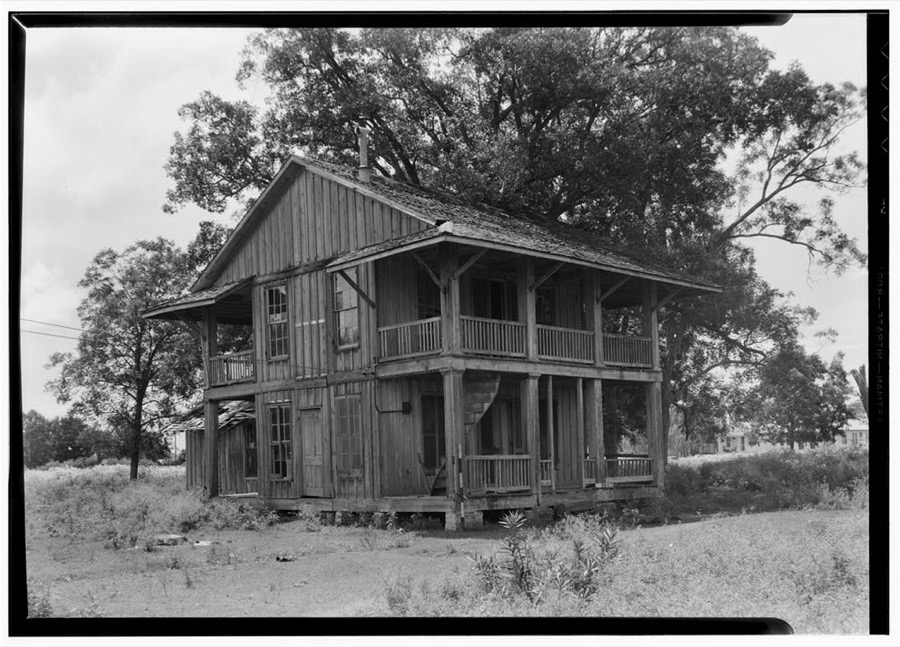
Every property in this county listed on the National Register of Historic Places, with the year it was listed and the federal nomination document.
| Photograph | Property | Type | Listed | Reference |
|---|---|---|---|---|
 | Chambers County Courthouse | building | 2008 | 08000339 |
 | Chambersea | building | 1979 | 79002925 |
| Fort Anahuac | site | 1981 | 81000626 |
Drawn when these were printed as single large sheets: the town seen from the air, and the county divided into its farms with every owner named. Each opens the original at the Library of Congress.

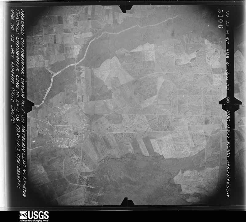
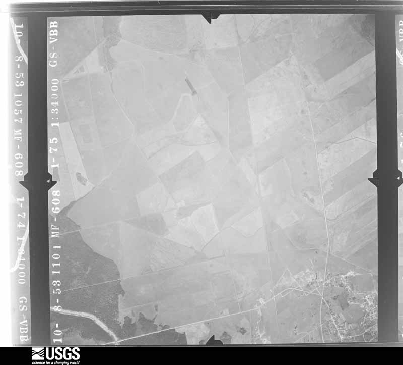
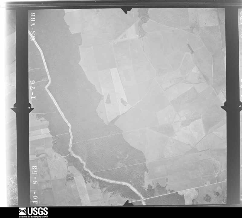
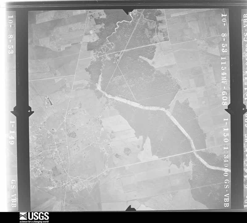
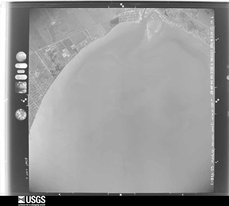
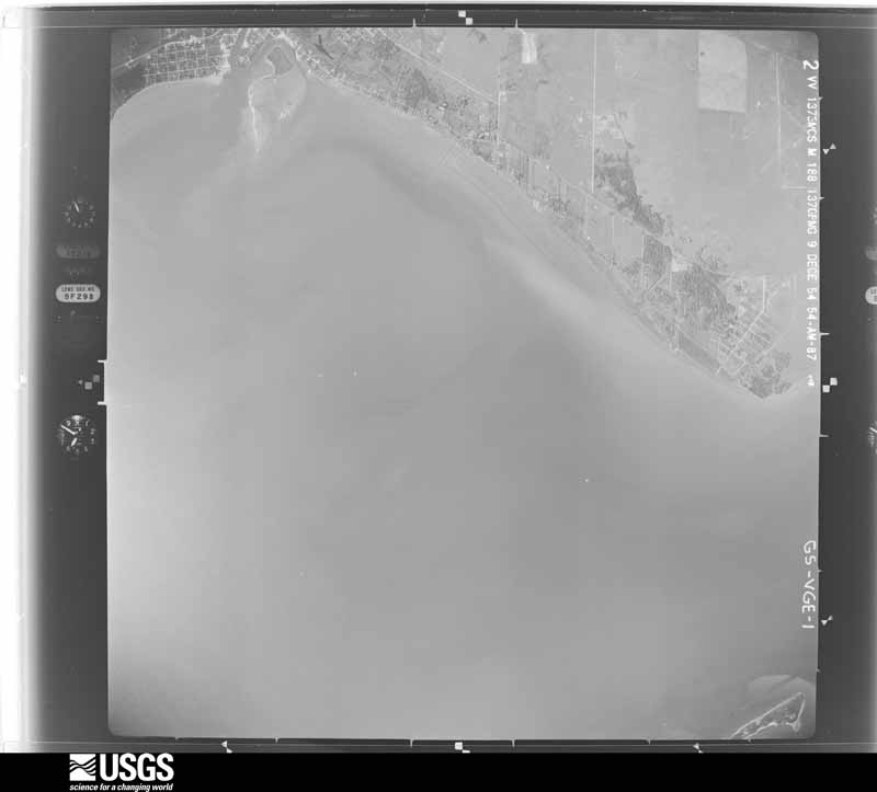
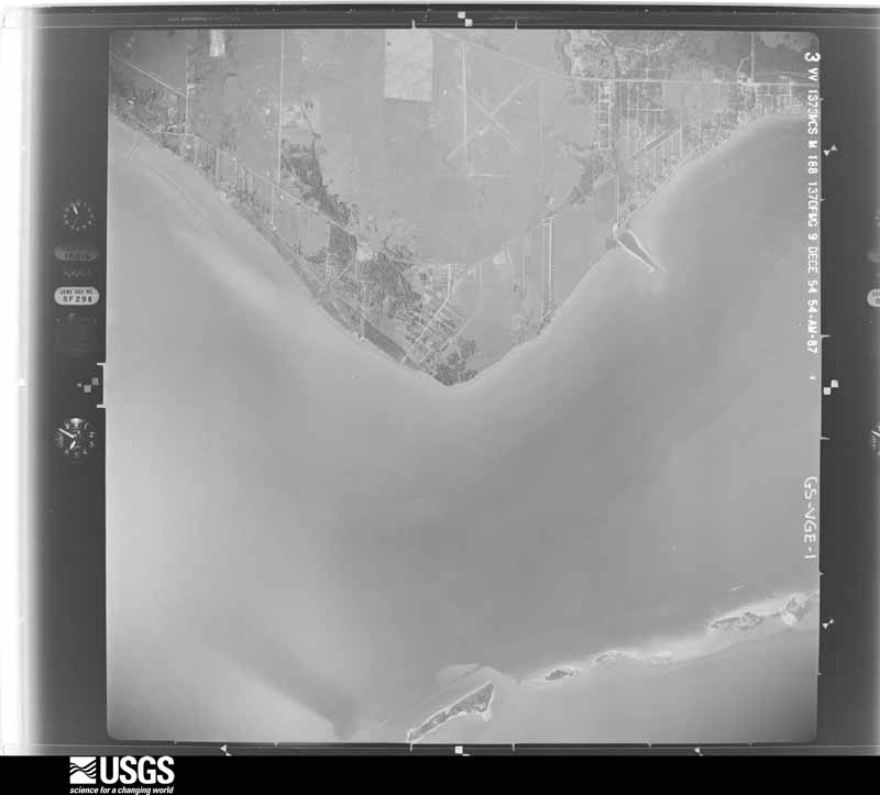
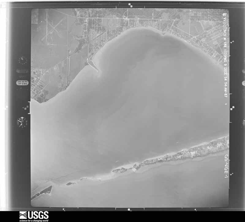
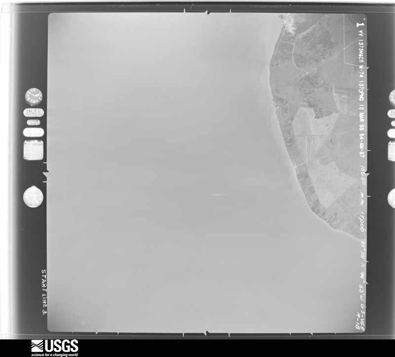
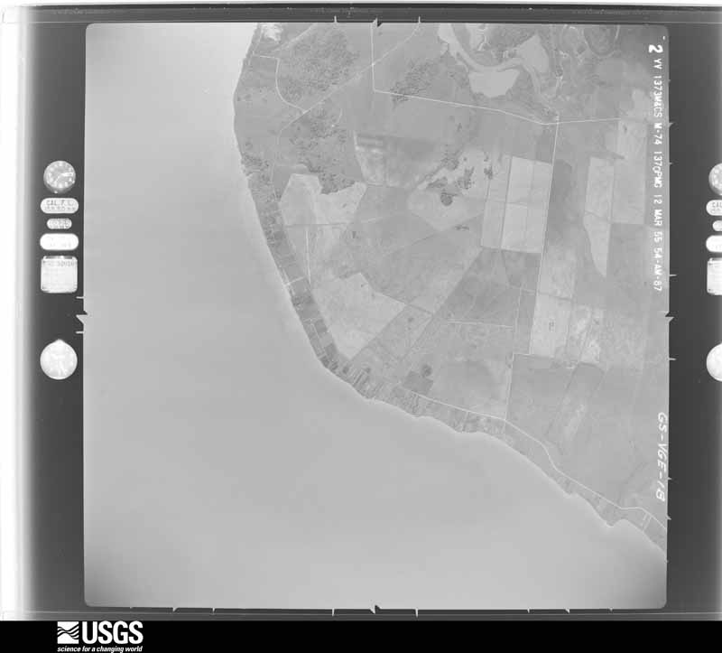
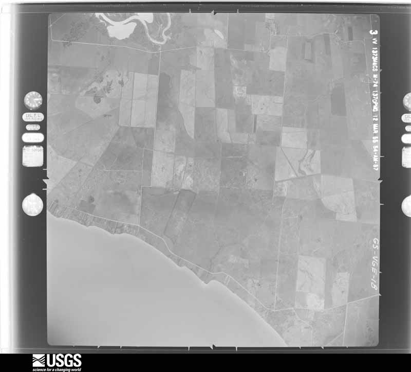
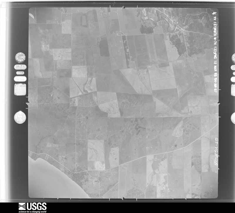
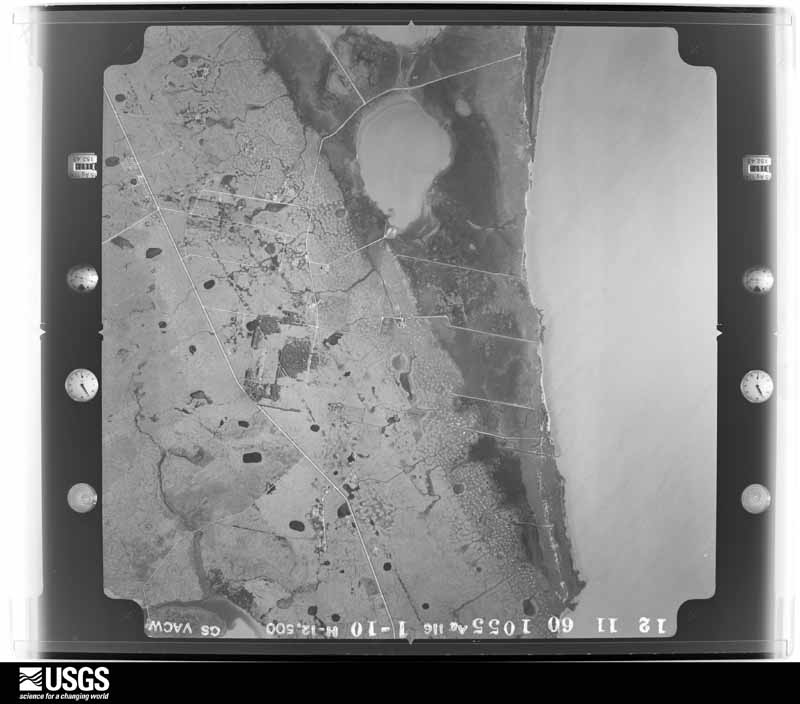
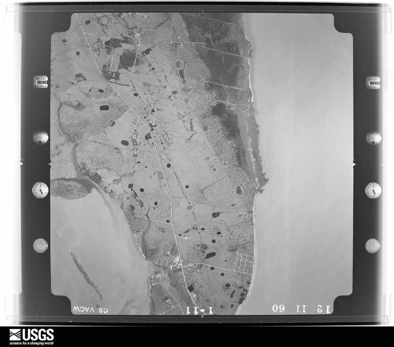
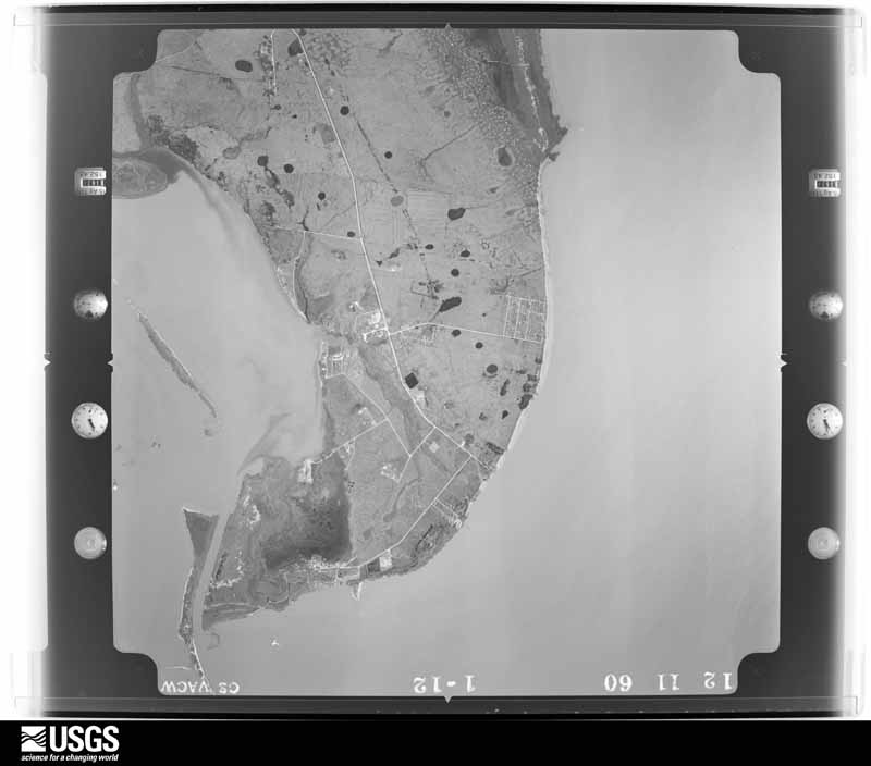
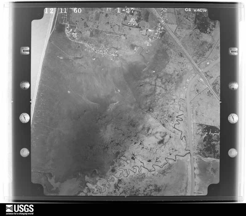
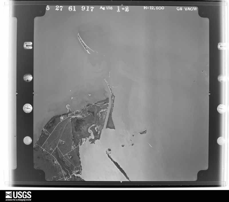
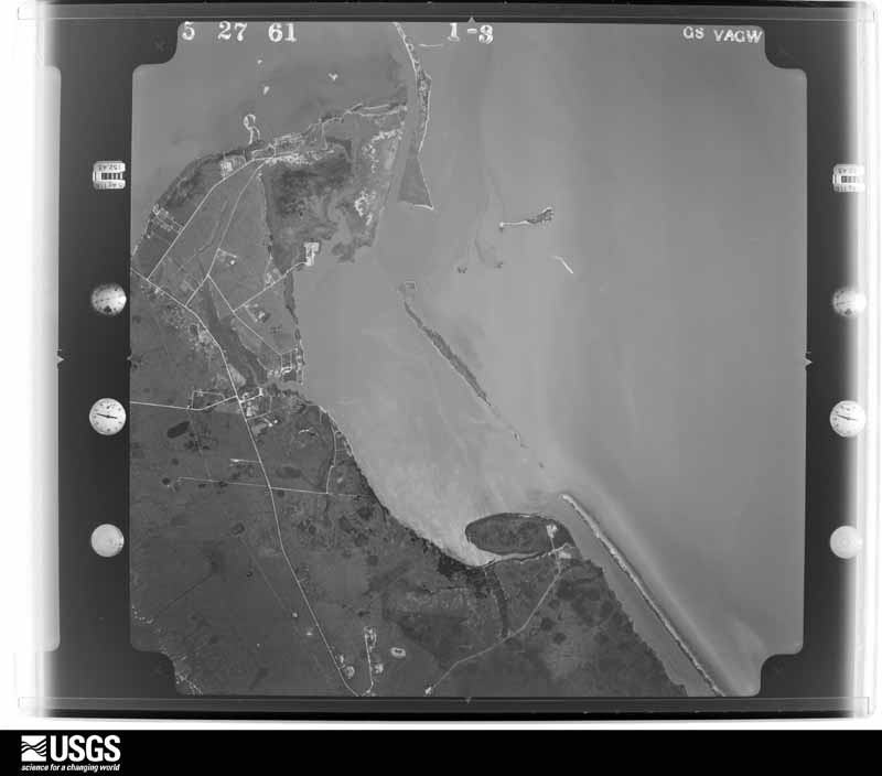
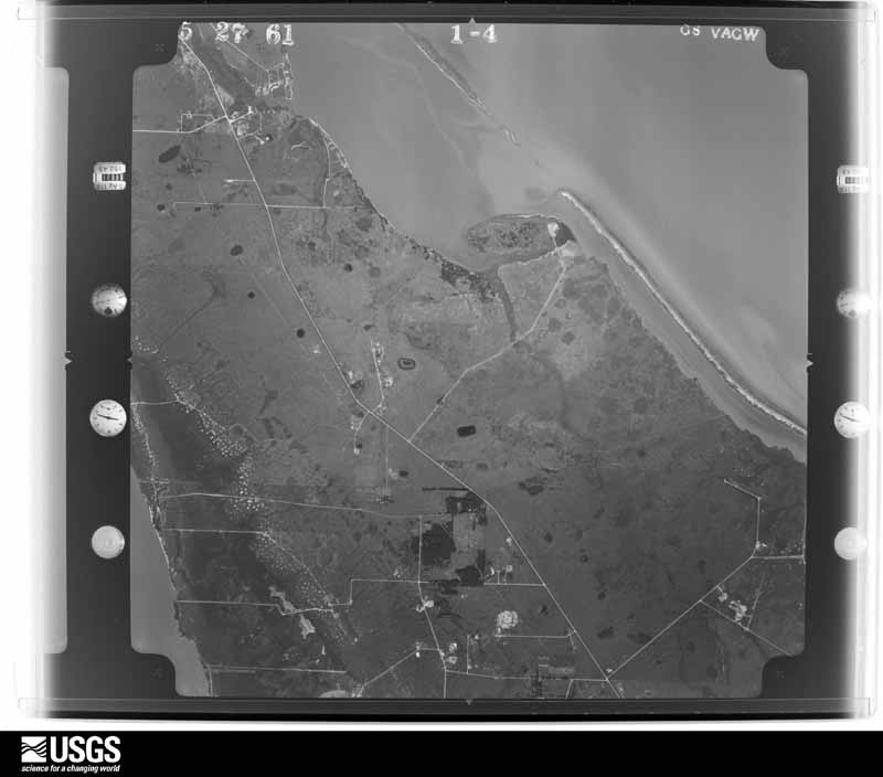
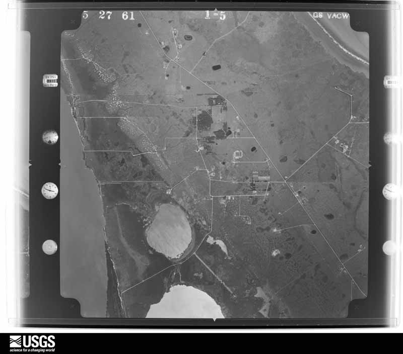
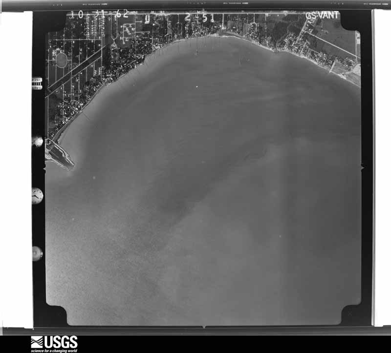
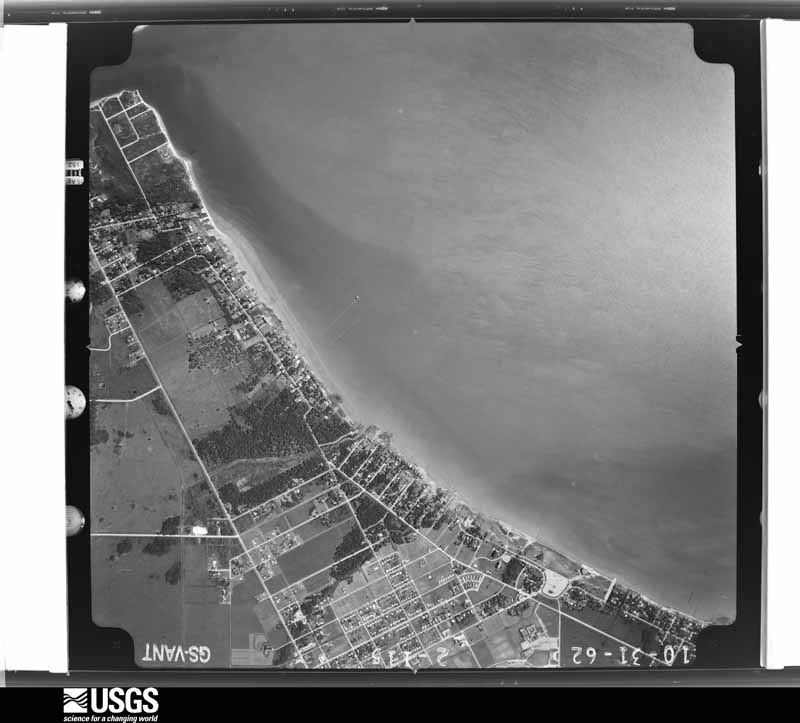
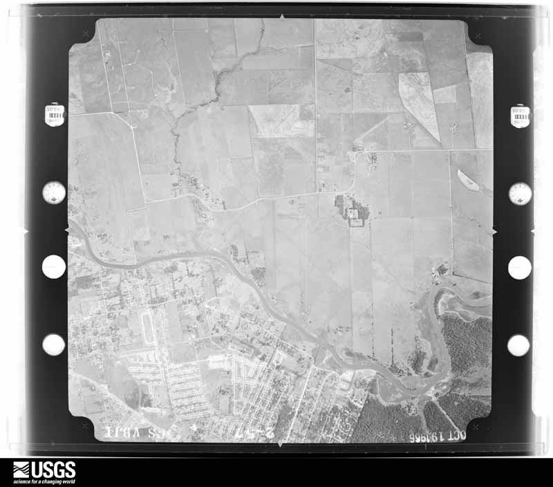
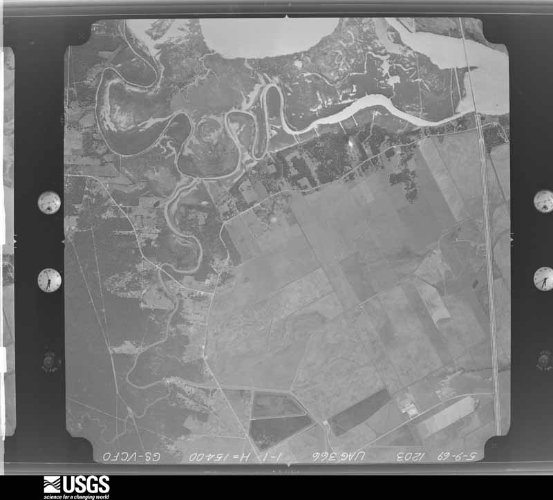
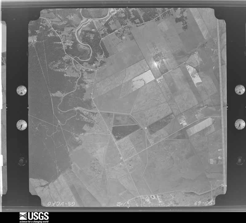
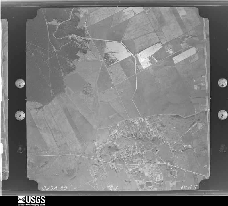
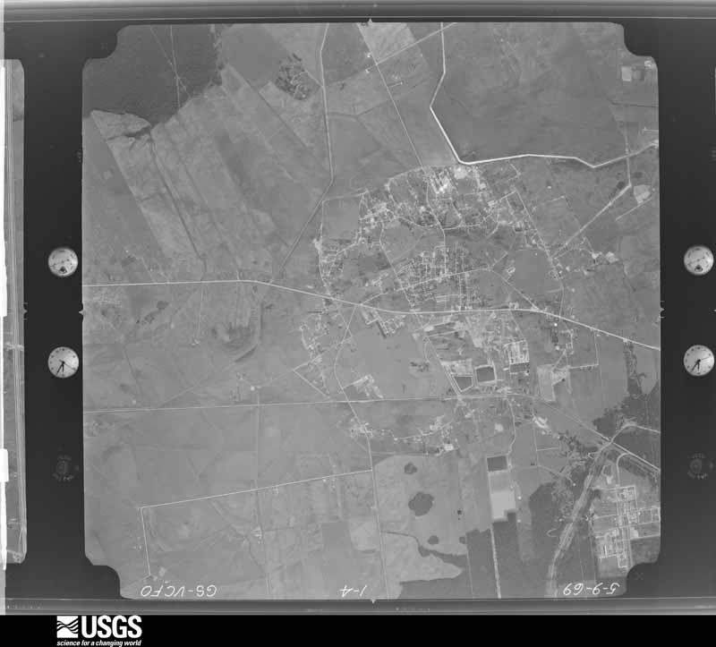
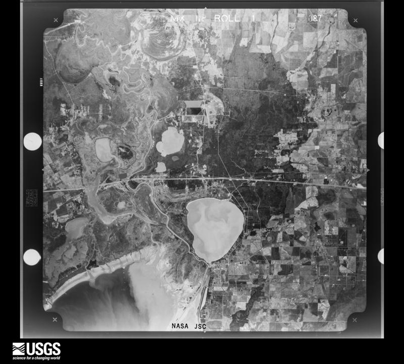
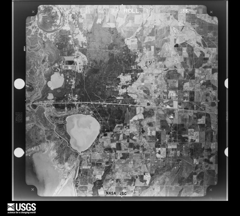
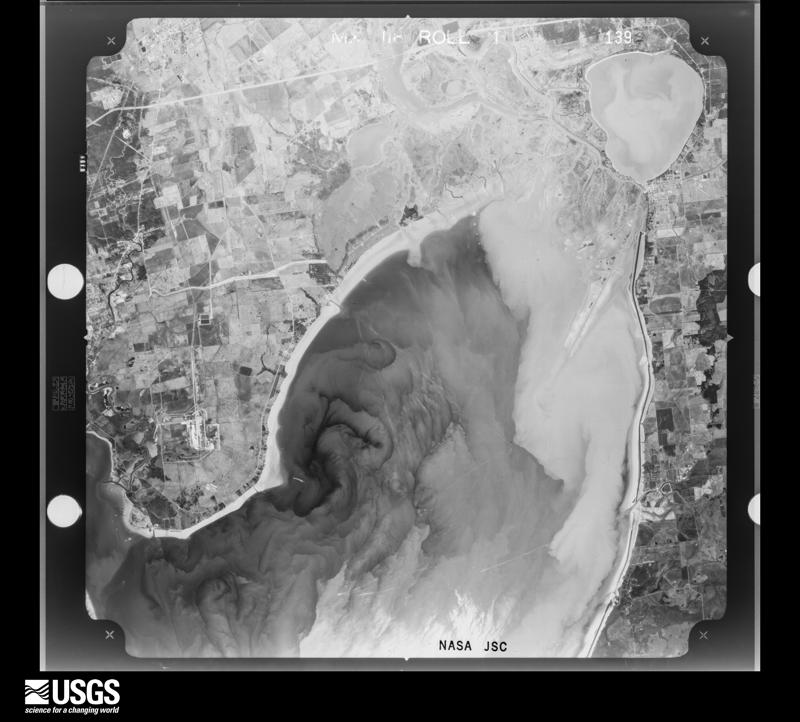
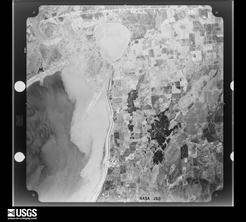
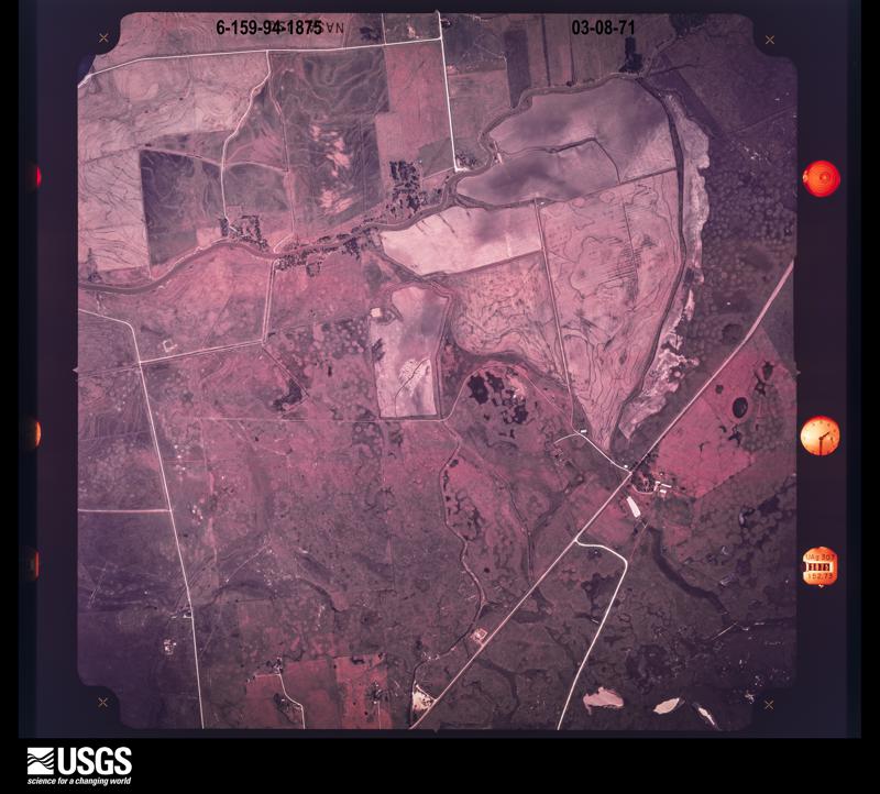
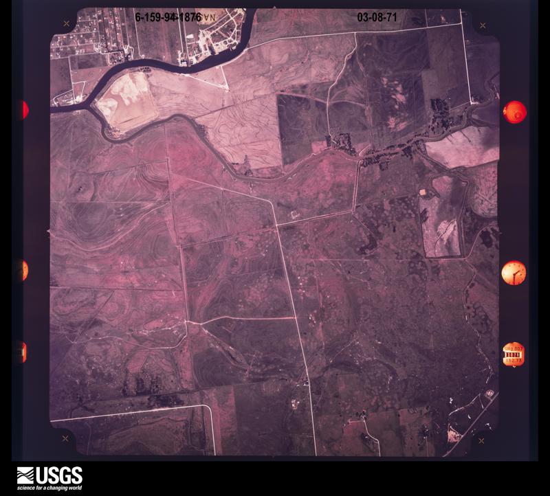
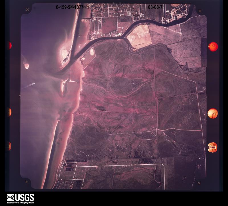
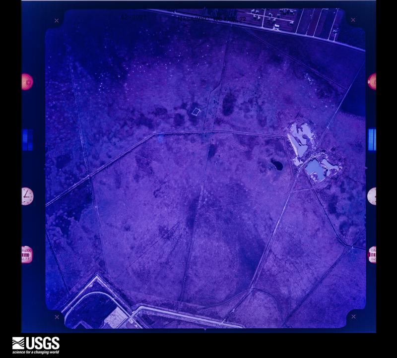
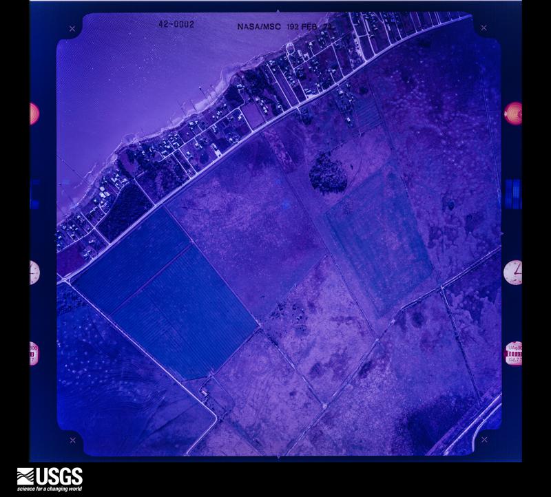
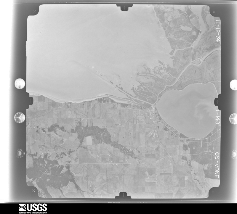
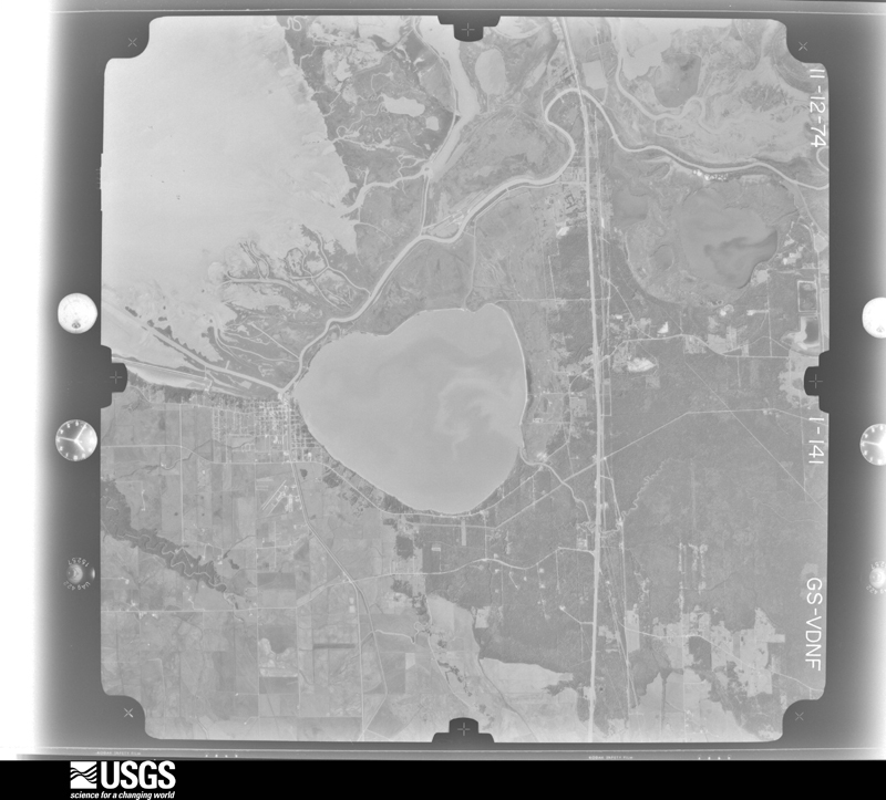
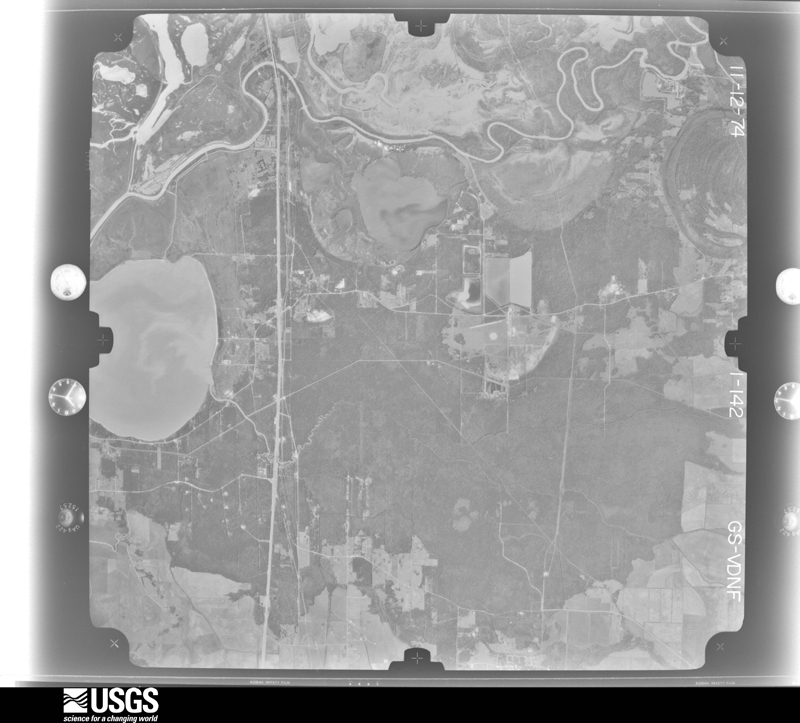
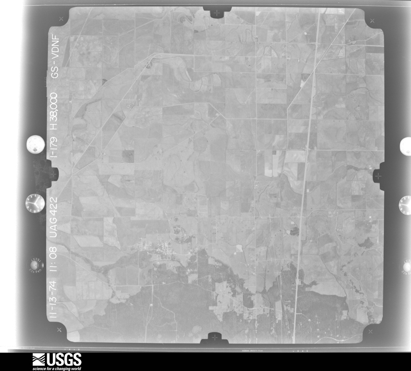
Flown by the U.S. Geological Survey between 1937 and 1989, the Aerial Photo Single Frames collection is the definitive mid-century view of the land: fields, roads and rivers as the camera saw them. The Survey holds 7,115 frames inside the rectangle that bounds this county; the 48 frames below were taken over the county itself, chosen across the decades of flights (at most four a year from that rectangle), so one flight cannot crowd out the rest. The full set is free to browse and download at EarthExplorer under the dataset Aerial Photo Single Frames.
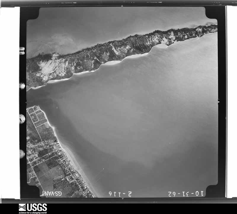
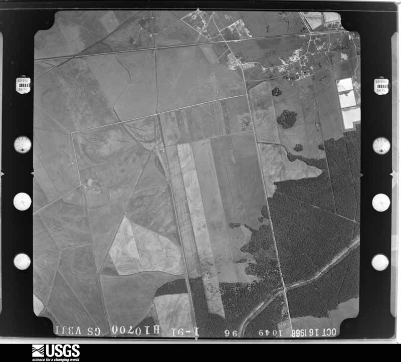
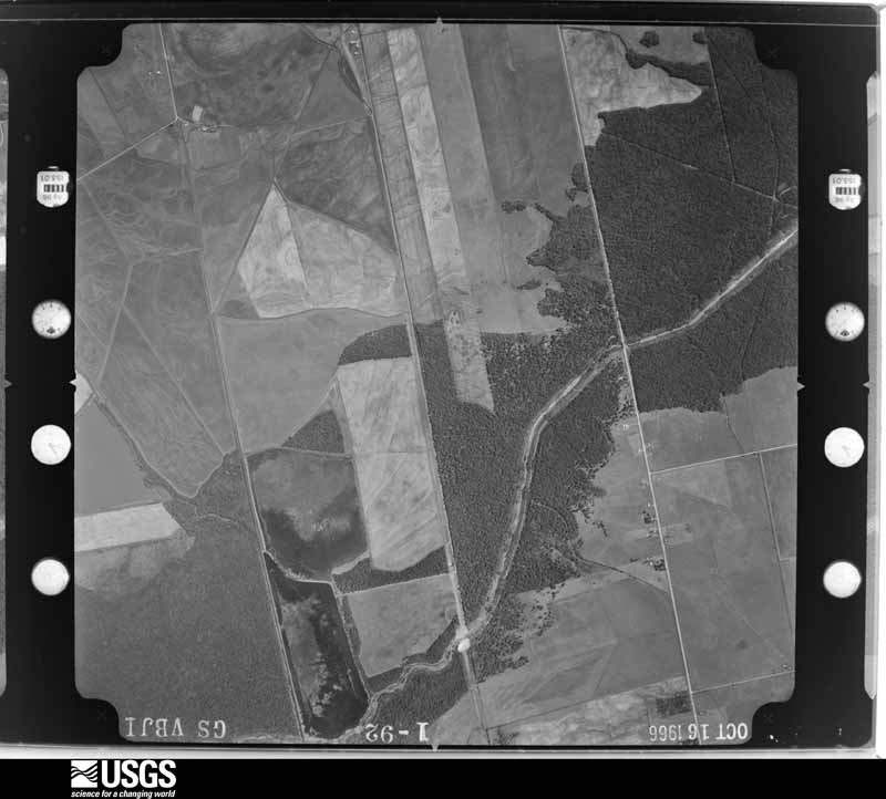
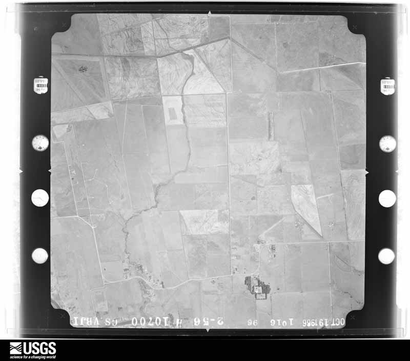



The thermometers that kept this county's weather, as the federal records hold them. The extremes below are measured values from those records, not estimates.
Who lived here in 1950, one enumeration district at a time, as the Census Bureau described each district. Each row opens its official National Archives result, with Population Schedules and ED Maps available there.
Every wildfire the federal occurrence database records inside this county: 344 of them, burning about 74,371 acres. 55 started naturally and 32 were recorded as arson. Each settlement page carries the fires within five miles of it.
| Reported cause | Fires |
|---|---|
| Missing data/not specified/undetermined | 151 |
| Debris and open burning | 78 |
| Natural | 55 |
| Arson/incendiarism | 32 |
| Equipment and vehicle use | 12 |
| Recreation and ceremony | 8 |
| Power generation/transmission/distribution | 2 |
| Railroad operations and maintenance | 2 |
| Misuse of fire by a minor | 2 |
| Smoking | 1 |
| Fireworks | 1 |
The five largest, by the area the report gives. None of them was recorded as arson.
| Date | Cause | Size | Reported by | Name on the report |
|---|---|---|---|---|
| 3 March 2007 | Missing data/not specified/undetermined | 5,976 acres | McFaddin National Wildlife Refuge | WF BILL WHITE EASEMENT OP'S |
| 5 November 2012 | Natural | 5,021 acres | Anahuac National Wildlife Refuge | WF FROZEN ;POINT |
| 16 November 2020 | Missing data/not specified/undetermined | 4,016 acres | Anahuac National Wildlife Refuge | WALKIN FIRE |
| 27 April 2014 | Natural | 2,254 acres | Anahuac National Wildlife Refuge | WF NORTH ROBERTS/MUELLER |
| 6 September 2014 | Natural | 2,250 acres | Anahuac National Wildlife Refuge | WF JACKSON'S DITCH 2014 |
| 30 July 2013 | Missing data/not specified/undetermined | 2,116 acres | McFaddin National Wildlife Refuge | WF CADE MUD BAYOU |
| 13 July 2014 | Missing data/not specified/undetermined | 1,873 acres | Anahuac National Wildlife Refuge | WF MIDDLETON 2014 |
| 16 April 1996 | Missing data/not specified/undetermined | 1,407 acres | Anahuac National Wildlife Refuge | YELLOWRAIL |
Every settlement page carries the fires within five miles of it - see the settlement index below.
The NOAA Storm Events Database holds 227 reports for this county, causing 6 deaths, 10 injuries and about $83,191,530 in recorded property damage. Each settlement page carries the reports that name it.
| Kind of event | Reports |
|---|---|
| Thunderstorm Wind | 76 |
| Hail | 53 |
| Flash Flood | 44 |
| Tornado | 33 |
| Funnel Cloud | 15 |
| Lightning | 4 |
| Waterspout | 1 |
| Coastal Flood | 1 |
The most serious of them, by death, then injury, then recorded damage. The accounts are quoted exactly as the forecast office filed them.
| When | Event | Place named | Harm | What the report says |
|---|---|---|---|---|
| May 1969 | Tornado (F3) | not stated | 3 killed, $25,000 | no account filed |
| June 2010 | Lightning | Whites Ranch | 1 killed, 1 hurt | A lightning strike from an anvil cloud after a thunderstorm moved through their location struck two people on a boat near the Texas 124 bridge over the Intercoastal Waterway in Chambers County. One victim was killed and the other was injured. |
| August 2000 | Lightning | Hankamer | 1 killed | Lightning struck and killed 27 year old man. |
| October 1974 | Tornado (F3) | not stated | 1 killed | no account filed |
| November 2003 | Tornado (F1) | Wallisville | 5 hurt, $100,000 | Tornado crossed the Old Trinity River Bridge on I-10, blowing over 10 semi trucks. One eastbound semi was dumped onto two cars. Another westbound semi was picked up, blown across a stone retaining wall, ripped through metal fencing and landed on a car in the westbound lane. Description of trucks were one loaded with 60K pounds of nuts and bolts, another with 42K pounds of paper towels, and a tanker truck filled with spring water. 5 injured transported to local area hospital. |
| June 1981 | Tornado (F2) | not stated | 1 hurt, $250,000 | no account filed |
| September 1980 | Tornado (F1) | not stated | 1 hurt, $25,000 | no account filed |
| March 1971 | Tornado (F2) | not stated | 1 hurt, $25,000 | no account filed |
| December 2024 | Tornado (EF3) | Oak Island | 1 hurt | The local fire department initially reported that a car near Smith Point was thrown by a tornado.||The survey team found evidence of long track tornado from just east of Smith Point through the Chambers/Jefferson County border. Multiple spots of EF2 damage were found with snapped wooden power line poles and a tossed and destroyed mobile homes. EF3 damage was found along FM 1941 and TX-124 where two steel transmission lines were blown down. One injury was reported with this tornado, which had occurred along Smith Point Rd where a pickup truck was tossed, confirming the initial report by the fire department.||Based on radar data, it is likely this track is a direct continuation of the tornado on the west side of the Galveston Bay. However, there is no way to confirm this is the case as the tornado entering the bay was completely rain wrapped and there is no evidence confirming the tornado crossed Galveston Bay. |
| September 2019 | Flash Flood | Lake Anahuac | $80,000,000 | Numerous roads in Winnie and Hankamer areas closed. Numerous structures flooded. |
| November 2003 | Tornado (F1) | Oak Island | $300,000 | Tornado touch down in White Harring Estates area between Oak Island and Smith Point. One home destroyed with seven other homes receiving damage. |
| May 1983 | Tornado (F0) | not stated | $250,000 | no account filed |
| October 1974 | Tornado (F2) | not stated | $250,000 | no account filed |
| September 2000 | Thunderstorm Wind | Anahuac | $150,000 | Windows blown out of house with large tree down on Bayshore Road. Most of a two story home under construction destroyed. Trailer destroyed just north of Oak Island. |
| April 2000 | Tornado (F1) | Anahuac | $100,000 | Tornado near FM 1985 with rice dryers demolished and major tree damage at several homes. |
| September 2000 | Thunderstorm Wind | Hankamer | $100,000 | Two cars and a motorcycle overturned on Loop 562 with wind gusts to 60 mph. |
| September 2000 | Thunderstorm Wind | Hankamer | $100,000 | Back porch ripped off home with barn damaged. Two metal outbuildings damaged on FM 563. |
| December 1997 | Thunderstorm Wind | Anahuac | $75,000 | 90 mph wind recorded at Chambers Co Airport. One aircraft destroyed. Damage to a high school roof, mobile home roof lifted, garage destroyed, powerlines down, and damage to a Putt-Putt golf course. |
| September 2019 | Flash Flood | Winnie | $50,000 | Riceland Medical Center taking on water, evacuated. Six patients and staff. |
| October 2018 | Tornado (EF1) | Cove | $50,000 | An EF-1 tornado touched down and caused damage within the Lanai Subdivision along Interstate 10 between FM 3180 and FM 565. Several homes sustained minor roof damage and numerous trees were uprooted. There were some snapped trees and power lines. One large trailer was overturned. |
| May 2006 | Flash Flood | Winnie | $50,000 | Flooding in and around the city with at least twenty homes receiving water damage. |
| May 2000 | Flash Flood | West Central Portion | $50,000 | Flooding on SH 124 with street flooding in Anahuac. Rainfall totals up to 8 inches in western part of county.A stationary front combined with deep tropical moisture to produce widespread slow moving thunderstorms over Houston, Galveston, and surrounding areas. Northeast Harris and western Liberty Counties were the hardest hit by a large supercell thunderstorm which remained nearly stationary for several hours. The storm produced over 18 inches of rainfall in Liberty in only 5 hours with widespread flash flooding from near Intercontinental Airport eastward to the Liberty/Dayton areas. Over 300 homes and businesses were damaged in western Liberty County with 60 to 80 people rescued from flood waters. Strong winds resulted from some of the storms, downing trees and power lines, especially near Liberty and Dayton. A storm survey revealed an F0 tornado south of Dayton. |
| October 1997 | Thunderstorm Wind | Anahuac | $50,000 | 90 mph wind recorded at Chambers County Airport. One aircraft destroyed. Damage to high school roof, mobile home roof lifted, garage destroyed, powerlines down, and minor damage to a miniature golf course. |
| May 1993 | Tornado (F0) | not stated | $50,000 | The Chambers County Sheriff Department reported a tornado sighted by law enforcement official between Mont Belvieu and Anahuac. Several patrol units experienced winds in excess of 60 mph pushing autos off Interstate 10 near Mont Belvieu. |
| November 1993 | Tornado (F1) | Mont Belvieu | $50,000 | Houston Power and Light Company lost two long line transmission circuits in Mont Belvieu. |
| September 1996 | Flash Flood | Countywide | $50,000 | no account filed |
| July 2007 | Flash Flood | Stowell | $40,000 | Water entered a Post Office building. |
| April 2006 | Thunderstorm Wind | Winnie | $35,000 | One business damaged with numerous trees down near the hospital in the town of Winnie. |
| November 2004 | Thunderstorm Wind | Anahuac | $35,000 | Tree on carport with damage to two vehicles. Storage building had roof damage. Four power poles on Poskey Road were snapped. |
| April 2016 | Lightning | Winnie | $30,000 | A lightning strike damaged a nursing home's fire alarm system. |
| November 1995 | Thunderstorm Wind | not stated | $30,000 | EMC reported trees blown down. One limb fell on a camper in a mobile home park causing major damage. |
| May 2018 | Thunderstorm Wind | Winnie | $25,000 | There was damage to a hangar at the Winnie-Stowell Airport. |
| June 2004 | Flash Flood | Mont Belvieu | $25,000 | Flooding in and around Mont Belvieu. |
| August 2002 | Thunderstorm Wind | Winnie | $25,000 | Power lines down in Winnie and tree down on a car in Ahahuac. |
| November 2002 | Flash Flood | Countywide | $25,000 | Numerous roads closed due to high water on extremely saturated grounds. |
| September 2000 | Thunderstorm Wind | Anahuac | $25,000 | Trees and power lines down on FM 563. |
| September 2000 | Thunderstorm Wind | Hankamer | $25,000 | Truck blown off highway on I-10 at mile marker 829. |
| July 2000 | Thunderstorm Wind | Countywide | $25,000 | Numerous trees down across county with power lines down in Smith Point. |
| March 1992 | Tornado (F1) | not stated | $25,000 | no account filed |
| June 1981 | Tornado (F0) | not stated | $25,000 | no account filed |
| September 1981 | Tornado (F1) | not stated | $25,000 | no account filed |
| May 2017 | Lightning | Beach City | $20,000 | Lightning struck some crude oil tankers and set them on fire. Residents within a half mile radius were evacuated until the fire was contained. |
| November 2004 | Thunderstorm Wind | Winnie | $20,000 | Restaurant and homes damaged. |
| December 2002 | Thunderstorm Wind | Mont Belvieu | $20,000 | Wind damage. |
| April 2001 | Hail | Winnie | $20,000 | no account filed |
| October 2021 | Thunderstorm Wind | Mont Belvieu | $18,000 | There was minor damage to a school building. Trees and fences were down in the area. |
| March 2015 | Flash Flood | Winnie | $15,000 | There were flooded and impassable roadways, with a few flooded vehicles, around town. A local rain gauge at Spindletop Bayou near Winnie reported 6.89 inches of rainfall. |
| April 2006 | Hail | Winnie | $15,000 | Golfball-size hail. |
| April 2006 | Hail | Winnie | $15,000 | Golfball-size hail. |
| April 2004 | Hail | Mont Belvieu | $15,000 | Quarter-size hail damaged sheriff vehicle's windshield. |
| September 2000 | Thunderstorm Wind | Anahuac | $15,000 | Power poles down on FM 563. |
| July 2000 | Thunderstorm Wind | Monroe City | $15,000 | Power lines down along SH 65. |
| August 1999 | Thunderstorm Wind | Winnie | $15,000 | Power lines down. |
| May 1999 | Thunderstorm Wind | Hankamer | $15,000 | Tree down on Hwy. 61. |
| September 1997 | Hail | Hankamer | $15,000 | Hail near HWY 61. |
| September 1997 | Hail | Anahuac | $15,000 | Hail from Anahuac to I-10. |
| September 1997 | Thunderstorm Wind | Anahuac | $15,000 | Numerous trees blown down from Anahuac to I-10. |
| April 2001 | Hail | Winnie | $15,000 | no account filed |
| April 2000 | Hail | Wallisville | $15,000 | no account filed |
| August 2000 | Thunderstorm Wind | Winnie | $15,000 | no account filed |
The Survey's mineral resources record lists 8 workings inside this county. 4 still produce and 4 are closed or unrecorded. Each settlement page carries the workings within five miles of it.
| Commodity | Workings |
|---|---|
| Halite | 3 |
| Sulfur, Gypsum-Anhydrite, Limestone, Ultra Pure | 1 |
| Sand and Gravel, Construction | 1 |
| Clay, Sand and Gravel, Construction | 1 |
| Clay | 1 |
| Iron | 1 |
| Salt | 1 |
The least common of them first, because a county's hundredth gravel pit says nothing its first ten did not.
| Where | Site | Commodity | Status | Recorded |
|---|---|---|---|---|
| Barbers Hill Mine | Halite, Sulfur, Gypsum-Anhydrite, Limestone, Ultra Pure | Past Producer | 1908, 1955 | |
| Baytown Sand and Clay Co | Clay, Sand and Gravel, Construction | Producer | ||
| Diamond Shamrock Barbers Hill Brine | Salt | Producer | ||
| Gulf Coast Portland Cement Co | Clay | Past Producer | ||
| U S Steel Texas Works | Iron | Producer | ||
| Unnamed Pit | Sand and Gravel, Construction | Producer | Sand | |
| Lost Lake Salt Dome | Halite | Occurrence | 1925 | |
| Red Fish Salt Dome | Halite | Occurrence | Halite |
Named settlements recorded in the Geographic Names Information System, each with the topographic sheets covering it. Villages, hamlets and abandoned places alike. Each is shown with the nearest named watercourse or landform and the survey quadrangle it falls on.
Mont Belvieu census division · 77523 · Near Bird Island · Cove quadrangle
12 sheets, 1950 to 1995
Anahuac census division · 77514 · On Chimney Bayou · Oak Island quadrangle
10 sheets, 1950 to 1994
Anahuac census division · 77597 · On Turtle Bayou · Anahuac quadrangle
12 sheets, 1942 to 1993
Anahuac census division · 77560 · On Spring Branch · Anahuac quadrangle
12 sheets, 1942 to 1993
Mont Belvieu census division · 77580 · Near Barbers Hill · Mont Belvieu quadrangle
15 sheets, 1916 to 1994
Anahuac census division · 77514 · On West Fork Double Bayou · Oak Island quadrangle
10 sheets, 1950 to 1994
Mont Belvieu census division · 77523 · Near Cherry Point Gully · Cove quadrangle
12 sheets, 1950 to 1995
Anahuac census division · 77514 · Near Vingt-et-un Islands · Smith Point quadrangle
15 sheets, 1933 to 1993
Anahuac census division · 77514 · On Turtle Bayou · Anahuac quadrangle
12 sheets, 1942 to 1993
The complete index, with nothing left out. Each of these is a separate record with its own page: a federal survey report, or the case file that argued a property on to the National Register. Both are public domain and reproduced word for word.