 Block
BlockFrom the record
1 National Register listing published here.
Sources: the National Register database, National Park Service
20 topographic sheets and 6 fire insurance atlases across 1 place.
1 National Register listing published here.
Sources: the National Register database, National Park Service
Taken for the Office of War Information and the Farm Security Administration, who photographed the country between 1935 and 1944. Works of United States government photographers, with no known restriction on use. Each opens its catalogue record.
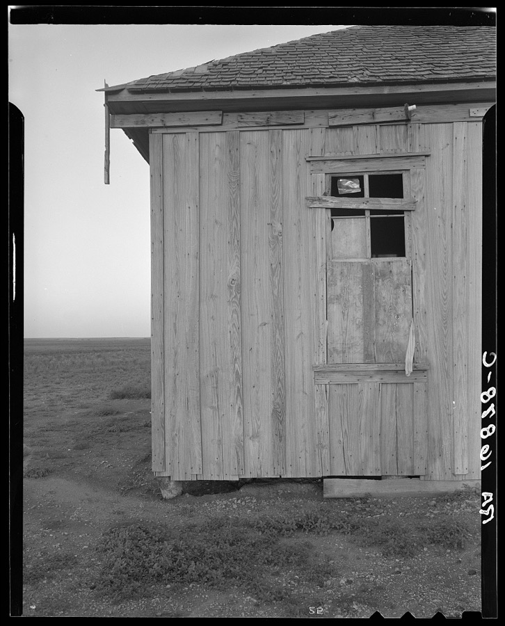
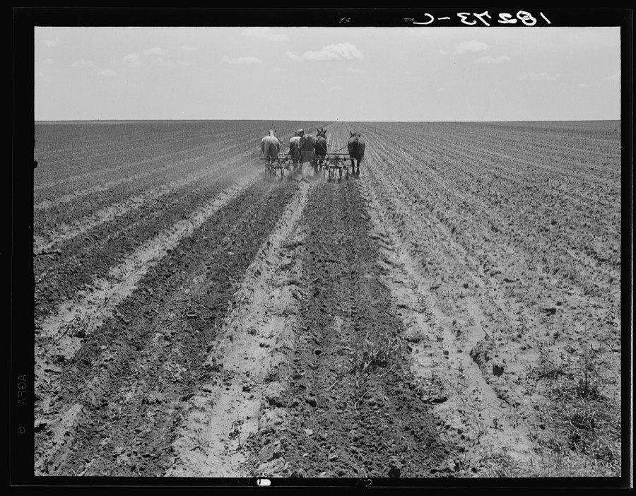
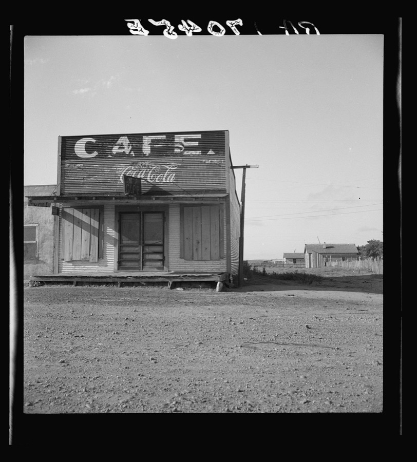
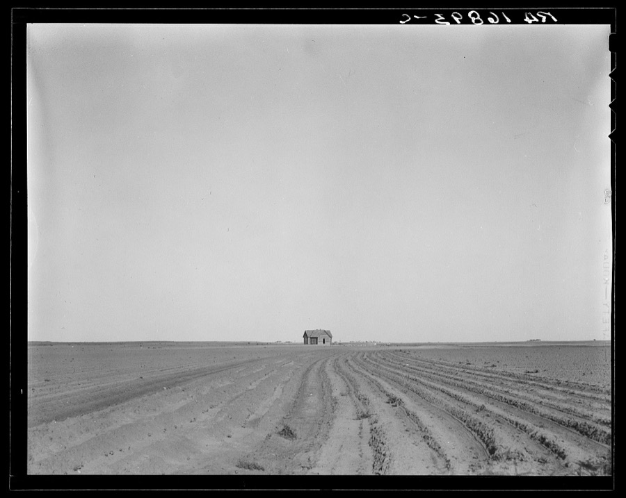


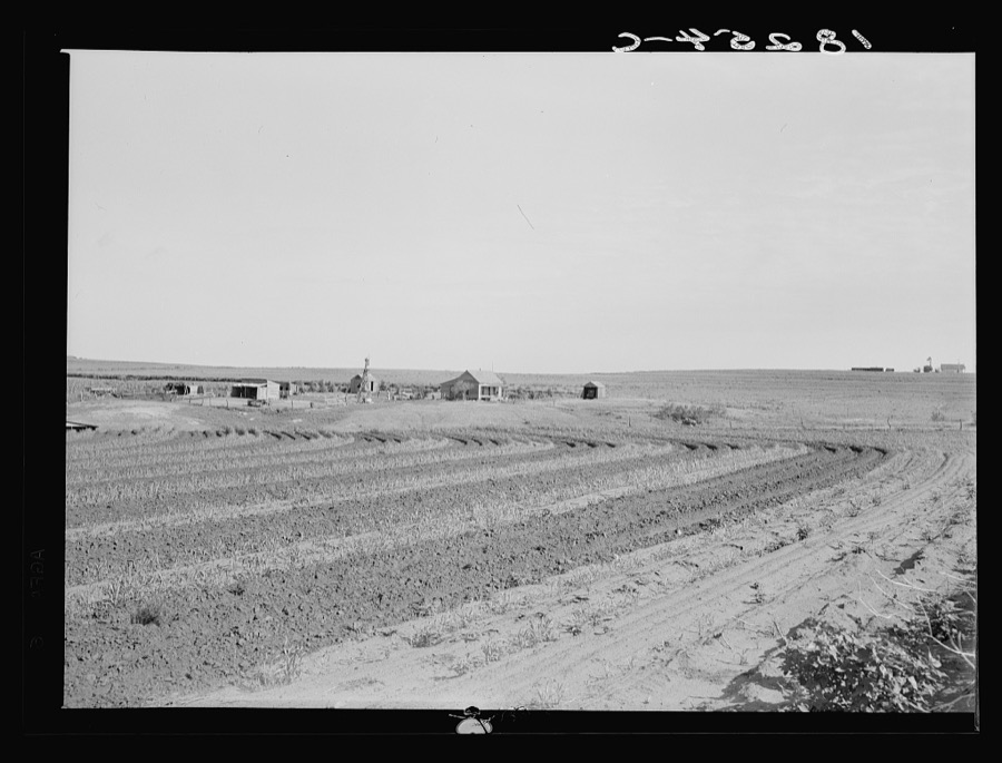
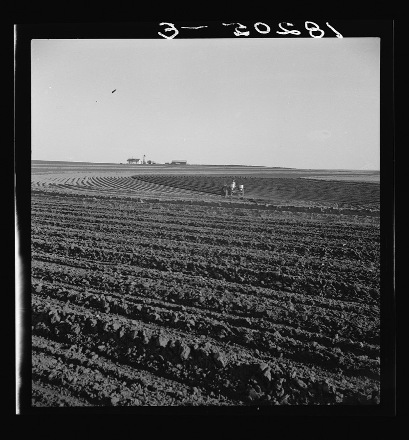



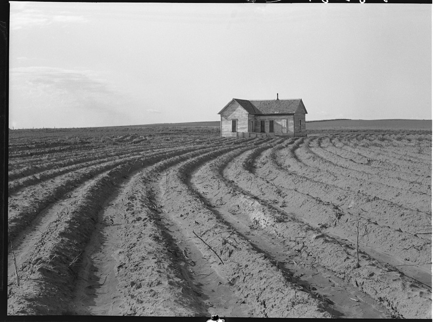

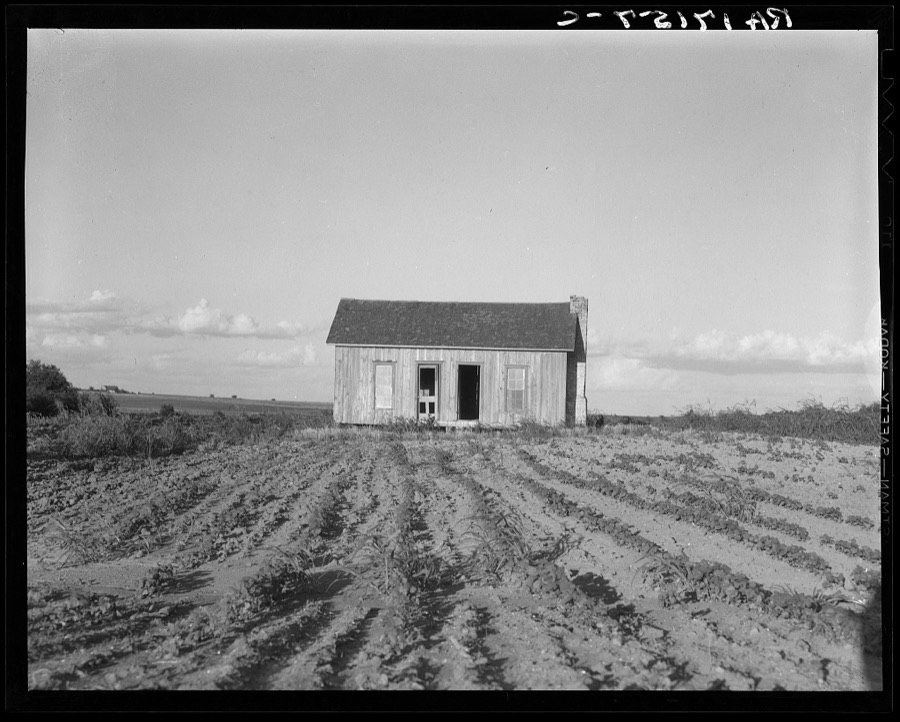
Every property in this county listed on the National Register of Historic Places, with the year it was listed and the federal nomination document.
| Photograph | Property | Type | Listed | Reference |
|---|---|---|---|---|
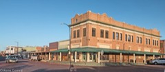 | Childress Commercial and Civic Historic District | district | 2016 | 16000349 |
Drawn when these were printed as single large sheets: the town seen from the air, and the county divided into its farms with every owner named. Each opens the original at the Library of Congress.
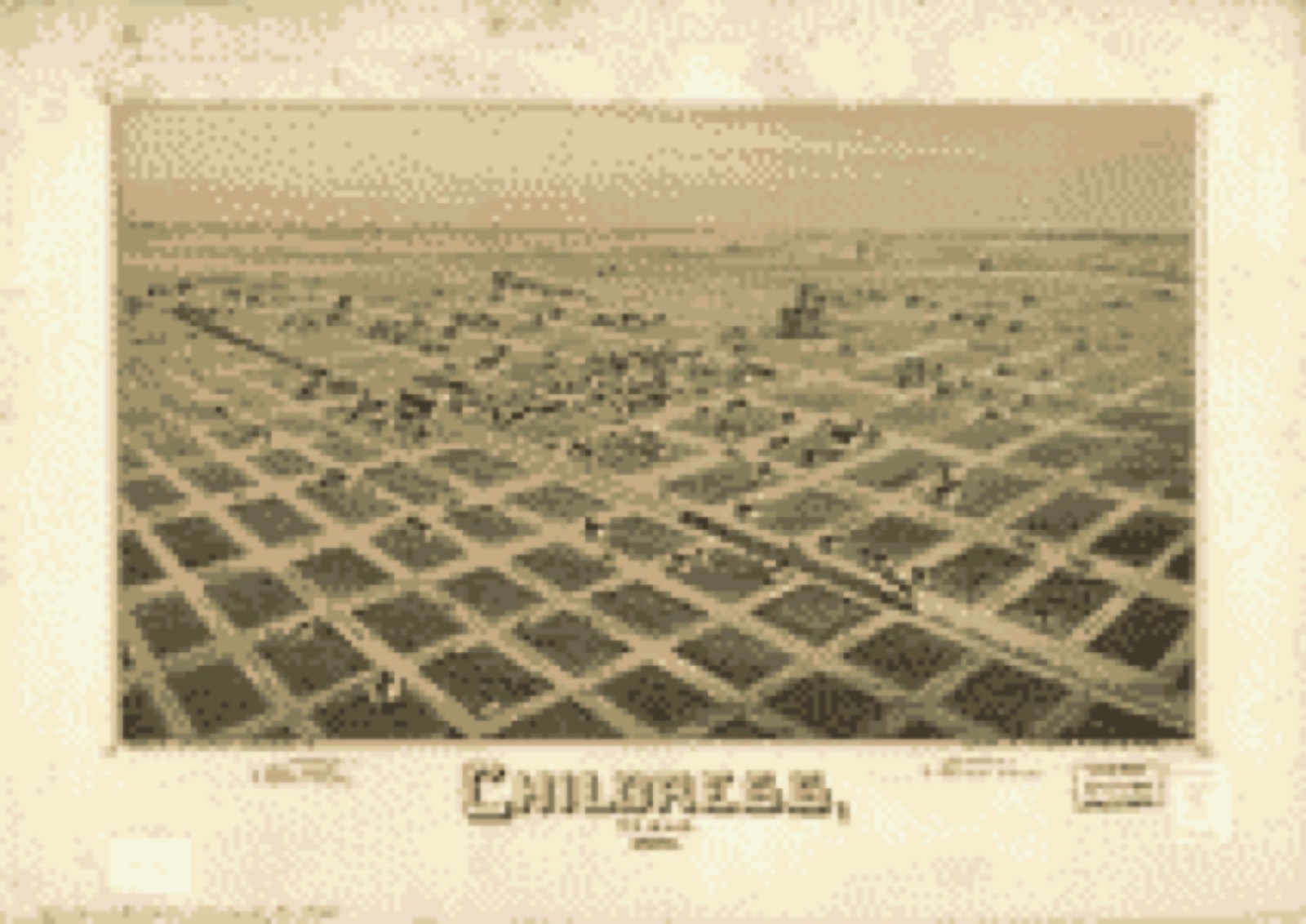
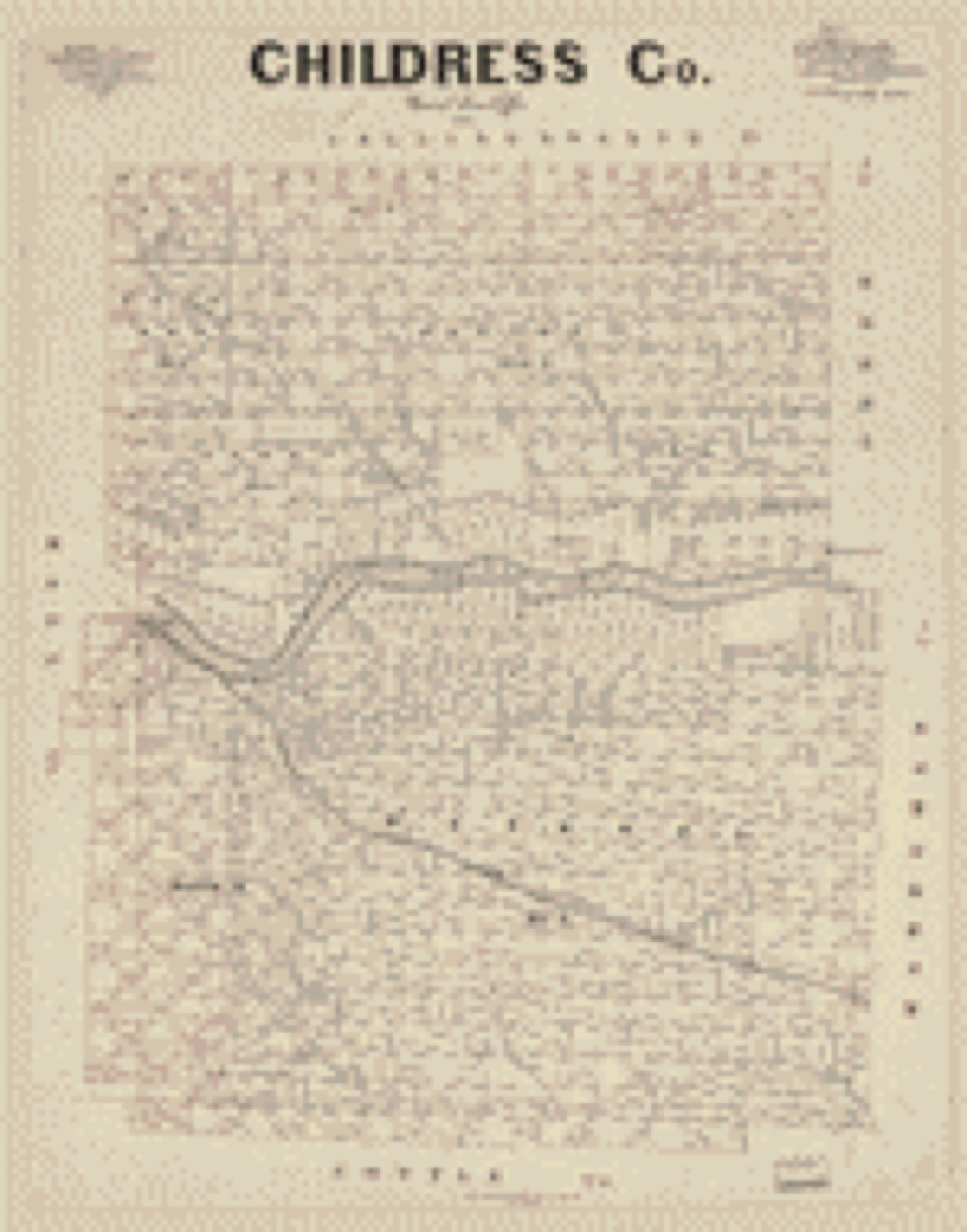
Selected from the Digital Public Library of America's 8 image records catalogued for this county. Every one shown here carries a public-domain status or a licence that permits reuse on a site that carries advertising; non-commercial, share-alike and restricted images are excluded. The selection is spread across the county's towns (at most eight per town), so no single institution's bulk upload crowds out the rest. Each opens the holding library's record, and the complete set at the Digital Public Library of America is one click away.


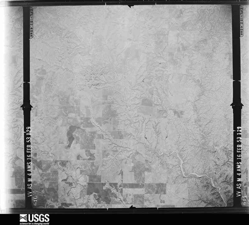
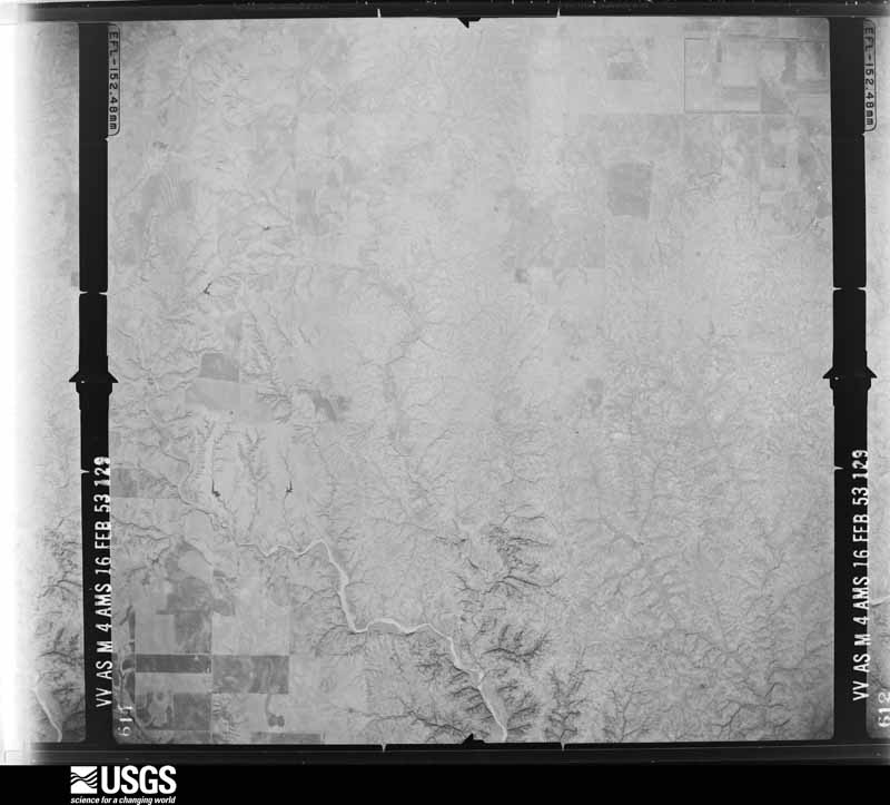
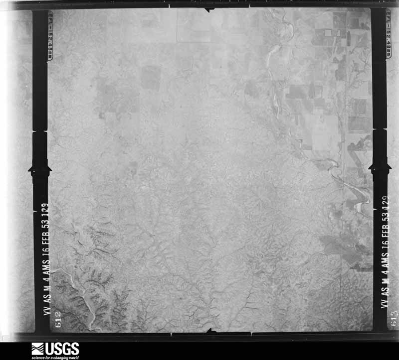
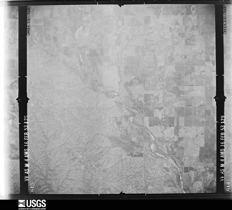
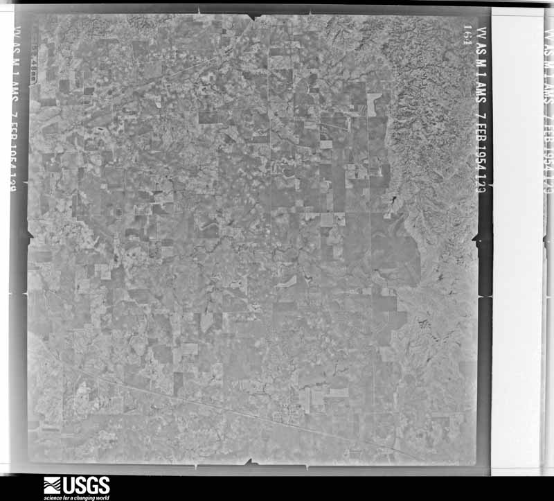
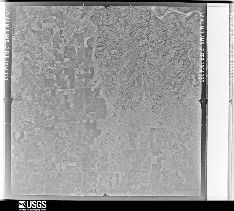
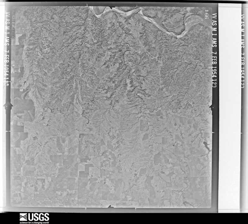
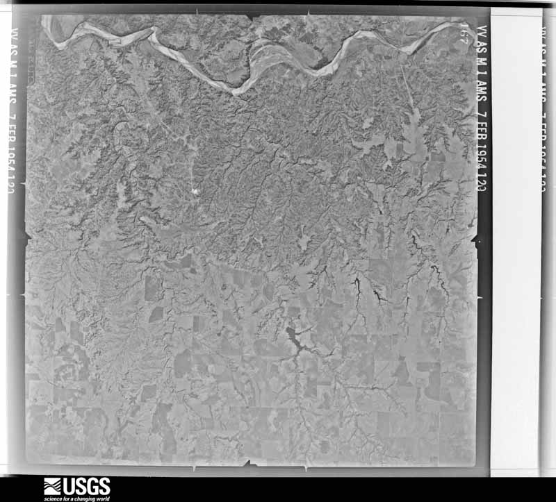
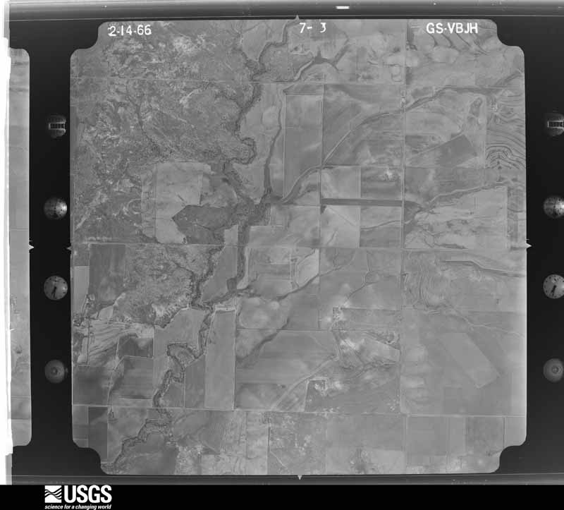
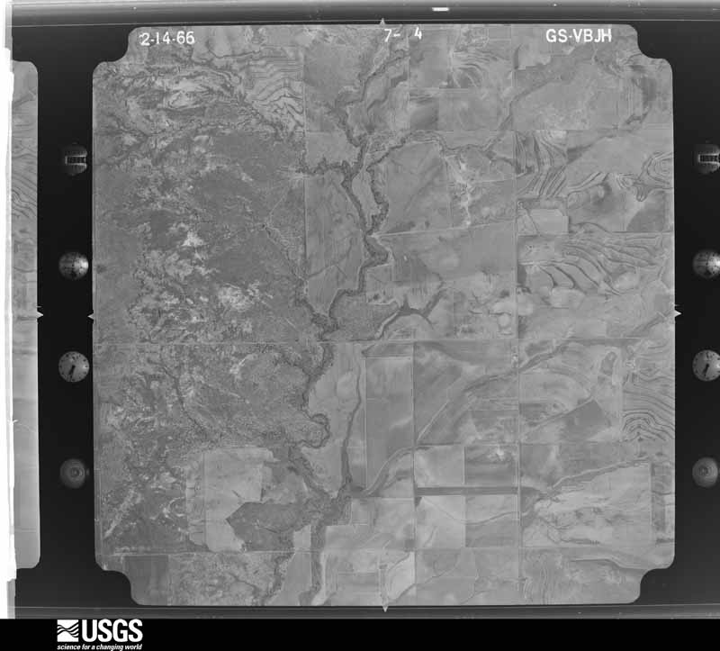
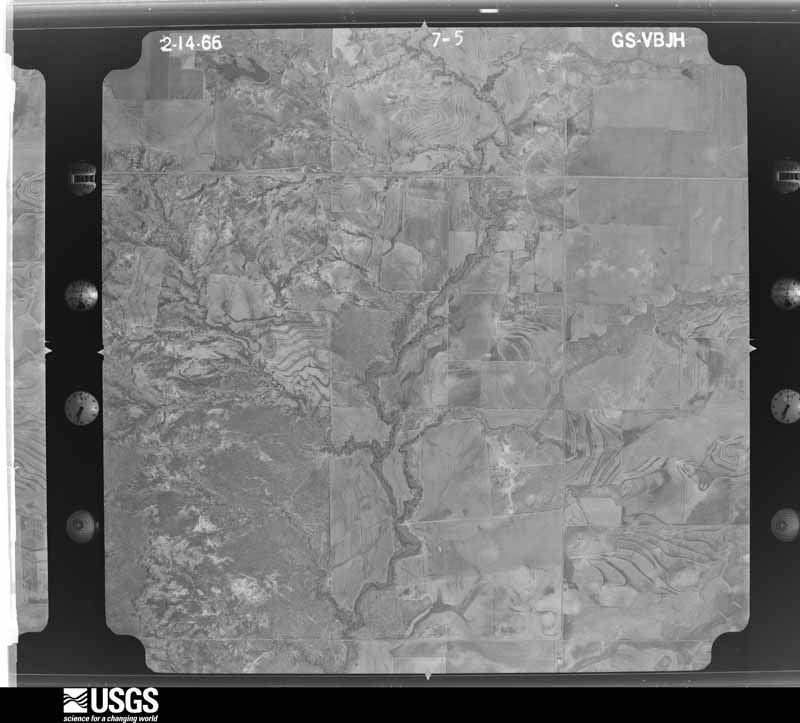
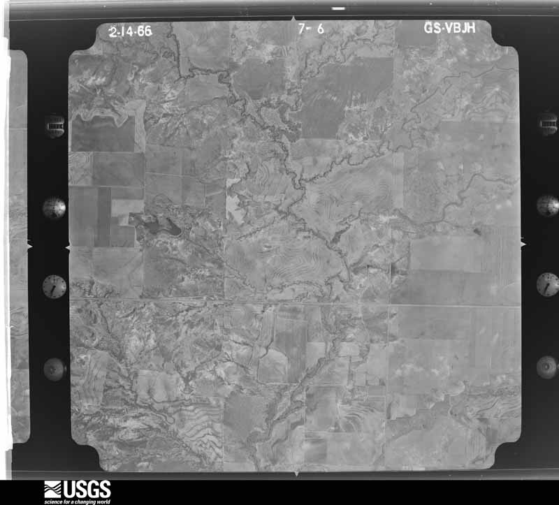
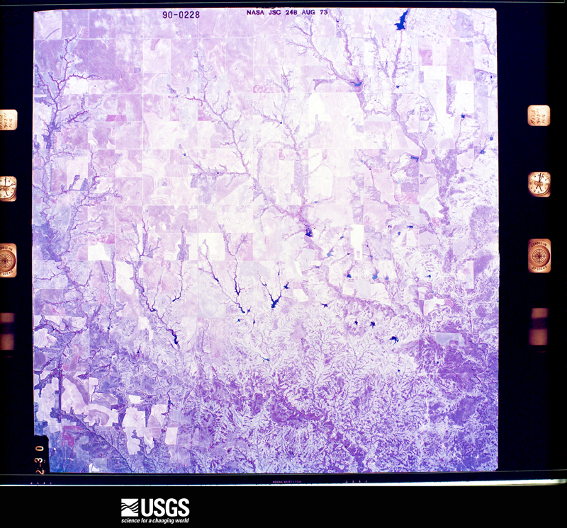
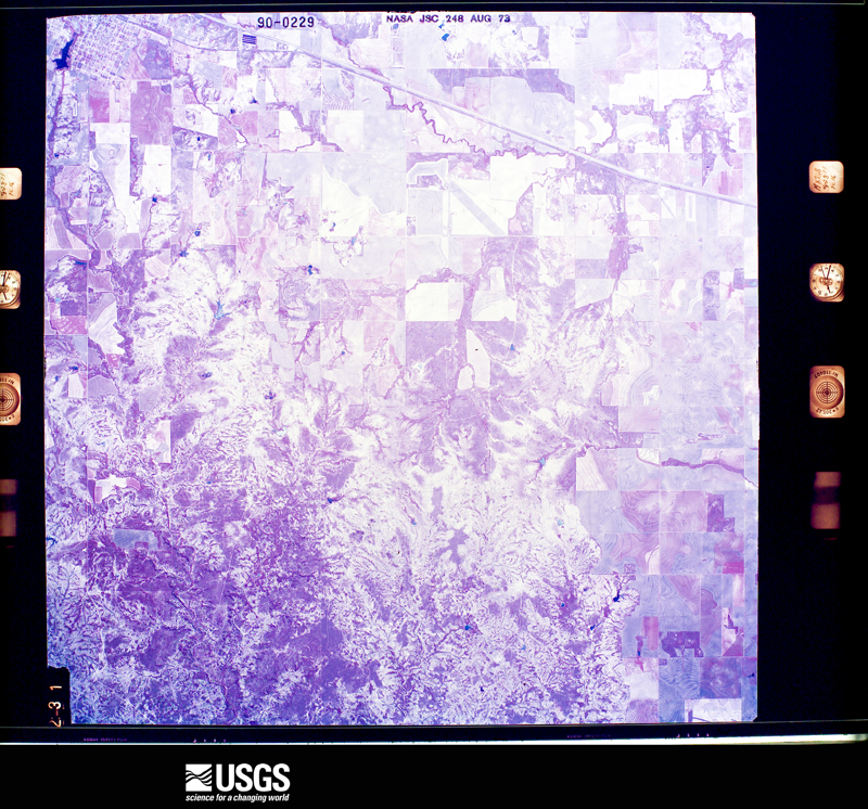
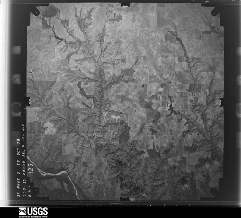
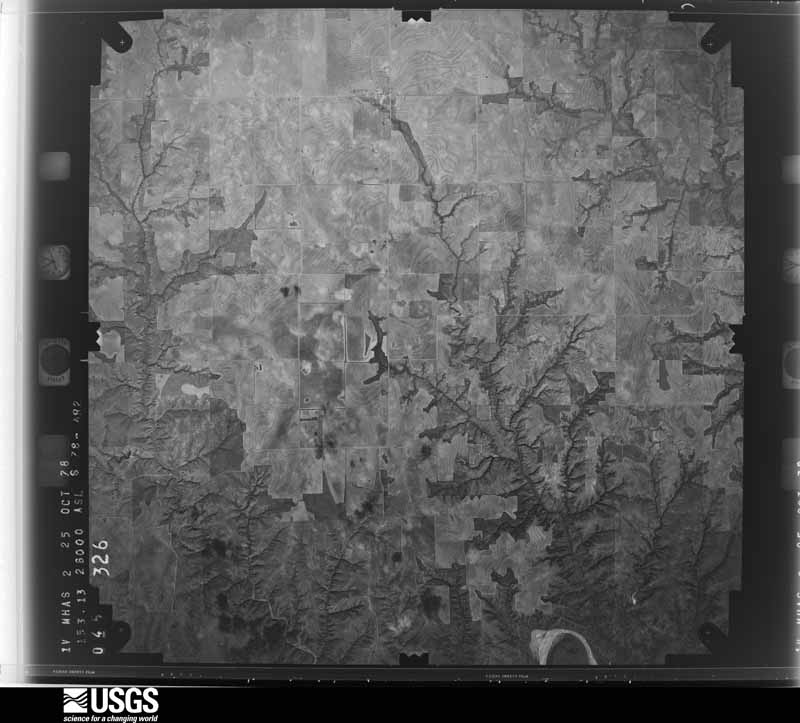
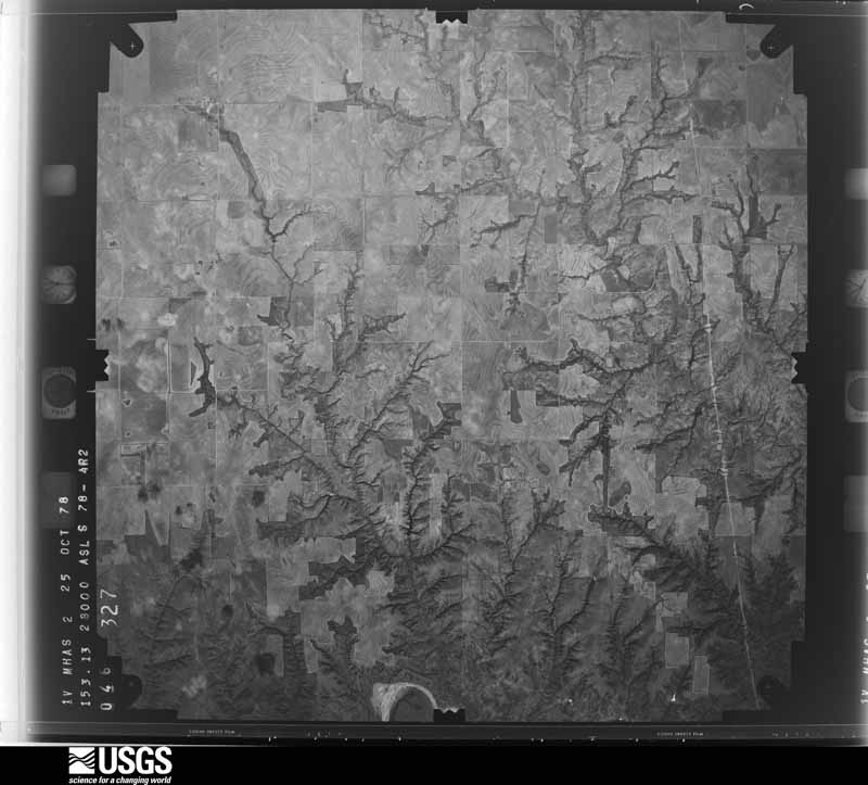
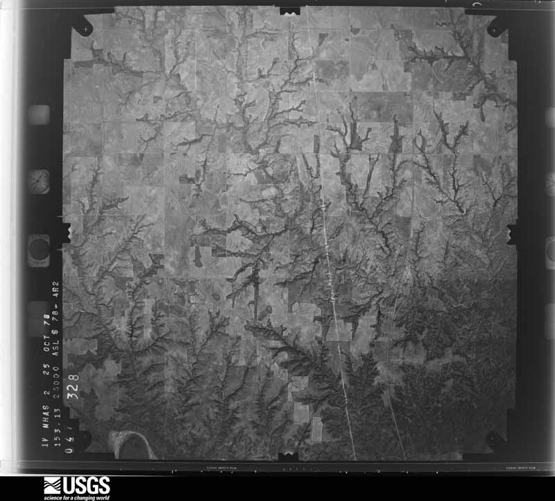
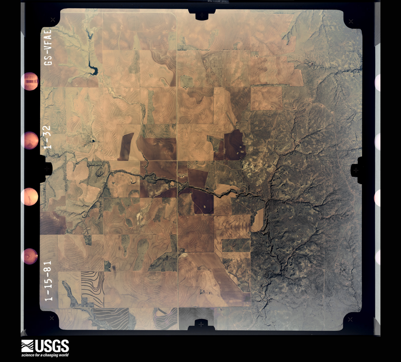
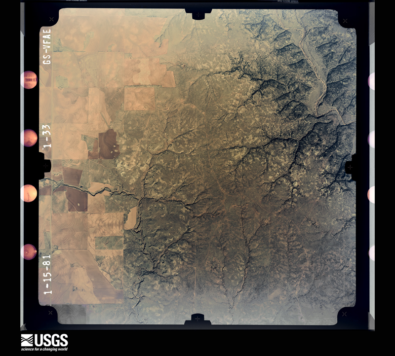
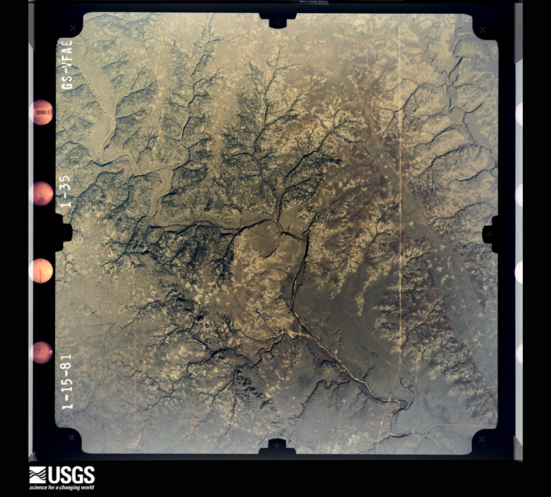
Flown by the U.S. Geological Survey between 1937 and 1989, the Aerial Photo Single Frames collection is the definitive mid-century view of the land: fields, roads and rivers as the camera saw them. The Survey holds 1,153 frames inside the rectangle that bounds this county; the 24 frames below were taken over the county itself, chosen across the decades of flights (at most four a year from that rectangle), so one flight cannot crowd out the rest. The full set is free to browse and download at EarthExplorer under the dataset Aerial Photo Single Frames.



The thermometers that kept this county's weather, and the gages that measured the flow of its streams, as the federal records hold them. The extremes below are measured values from those records, not estimates.
Who lived here in 1950, one enumeration district at a time, as the Census Bureau described each district. Each row opens its official National Archives result, with Population Schedules and ED Maps available there.
Every wildfire the federal occurrence database records inside this county: 84 of them, burning about 20,545 acres. 21 started naturally and 4 were recorded as arson. Each settlement page carries the fires within five miles of it.
| Reported cause | Fires |
|---|---|
| Missing data/not specified/undetermined | 32 |
| Natural | 21 |
| Equipment and vehicle use | 14 |
| Smoking | 7 |
| Debris and open burning | 5 |
| Arson/incendiarism | 4 |
| Power generation/transmission/distribution | 1 |
The five largest, by the area the report gives. None of them was recorded as arson.
| Date | Cause | Size | Reported by | Name on the report |
|---|---|---|---|---|
| 17 February 2016 | Equipment and vehicle use | 3,000 acres | Texas A & M Forest Service | ROCKING CHAIR RANCH |
| 1 December 2002 | Equipment and vehicle use | 2,600 acres | Texas A & M Forest Service | ROLLING PLAINS - 1 |
| 19 March 2016 | Equipment and vehicle use | 2,336 acres | Texas A & M Forest Service | 256 FIRE |
| 29 September 2003 | Natural | 2,000 acres | Texas A & M Forest Service | ROLLING PLAINS - 21 |
| 9 July 2011 | Natural | 1,800 acres | Texas A & M Forest Service | GOODWIN FIRE |
| 6 August 2009 | Equipment and vehicle use | 1,775 acres | Texas A & M Forest Service | VEST |
| 23 December 2020 | Missing data/not specified/undetermined | 814 acres | Texas A & M Forest Service | LEFT FIELD |
| 12 July 2018 | Natural | 563 acres | Texas A & M Forest Service | RIVERBED |
Every settlement page carries the fires within five miles of it - see the settlement index below.
The NOAA Storm Events Database holds 443 reports for this county, causing no deaths, 11 injuries and about $35,077,490 in recorded property damage. Each settlement page carries the reports that name it.
| Kind of event | Reports |
|---|---|
| Hail | 214 |
| Thunderstorm Wind | 187 |
| Tornado | 26 |
| Flood | 7 |
| Flash Flood | 4 |
| Heavy Rain | 3 |
| Lightning | 1 |
| Funnel Cloud | 1 |
The most serious of them, by death, then injury, then recorded damage. The accounts are quoted exactly as the forecast office filed them.
| When | Event | Place named | Harm | What the report says |
|---|---|---|---|---|
| June 2008 | Thunderstorm Wind | Childress | 6 hurt, $16,000,000 | An extreme convective wind event combined with large hail resulted in widespread and significant damage in the Childress vicinity during the evening hours of Father's Day the 15th.||The Texas Tech University West Texas Mesonet site northeast of the city initially recorded a 58 mph wind gust at 19:33 CST. By 19:35 CST winds at the mesonet site had increased to 80 mph. Witnesses described that rain from the storm, which had approached from the northwest, had come to an ended and that the storm appeared to have passed without incident. A rapid onset of damaging winds and hail, however, then struck from the east. ||A National Weather Service disaster assessment found eye witness descriptions to be consistent with the resultant damage patterns and photographic evidence, which conclusively indicated that a series of wet microbursts impacted the surface east-northeast of Childress. Extreme outflow winds, estimated to approach 100 mph, spread westward across the city as they diverged from the epicenter of the downbursts. In addition to photo and video evidence of multiple microburst occurrences, the cyclic nature of the downbursts was measured by the Texas Tech University West Texas Mesonet, which recorded a secondary 80 mph peak in wind gusts at 19:50 CST.||Local and state officials determined that 1,821 homes and more than 200 businesses were impacted by the storm. Damages to 247 homes were deemed major with six homes totally destroyed. Four rooms in a local motel collapsed, and more than half a million dollars in damages were inflicted upon a local hospital. Medical patients from both the hospital and a nearby nursing home were evacuated to neighboring communities. Up to sixty utility poles and a number of signs were additionally destroyed. ||Six persons were injured by flying debris during the storm. Those injured included a small child that was struck in the head by debris, and a woman that was hit by a screen door which became air-borne.||The American Red Cross reportedly provided food and shelter for approximately 500 Childress residents following the storm. |
| July 2009 | Thunderstorm Wind | (Cds)Childress Arpt | 3 hurt, $2,000,000 | A complex of severe thunderstorms produced extreme winds and resulted in significant damage in the Childress vicinity during the 21:00 CST hour of the 29th. The Automated Surface Observing System at the Childress Municipal Airport recorded a 102 mph thunderstorm wind gust at 21:29 CST. The nearby Texas Tech University West Texas Mesonet recorded a series of severe gusts between 21:35 CST and 21:45 CST, with a peak gust of 80 mph at 21:40 CST. ||Damage across the northwestern half of the city was extensive. Three people were injured when the walls of a motel collapsed just off of U.S. Highway 287. Two other hotels sustained heavy damages. Minor roof damage was additionally reported at the Childress Regional Medical Center and the Childress High School. |
| May 2006 | Tornado (F2) | Childress | 1 hurt, $5,700,000 | A tornado resulted in significant (F2) damage along a one and half mile path through the north side of Childress during the evening hours of the 9th. The tornado developed in a residential are of northwest Childress at 20:30 CST. Damage in the neighborhood was characterized as weak, with numerous downed trees, street signs, and damaged roofs. A resident was injured when a tree fell and struck him, breaking his arm and causing minor lacerations.The tornado then moved east toward the high school. Damage to the high school was extensive. A local television network, KVII-TV in Amarillo, operates an automated weather station on the campus as part of a regional school net. The instrument measured a 109 MPH wind gust as the tornado ripped through the facility at 20:32 CST. Damage at Childress High School was rated F1, with large brick walls blown inn and portions of the building's roof removed. The gymnasium was declared a total loss.The tornado intensified as it continued to move east across Fair Park. A large industrial building used to house city owned emergency vehicles was completely destroyed, with extensive damage to the fleet of vehicles that were parked inside. A tennis court was destroyed by wind-blown debris, and numerous large trees were uprooted. A large stone picnic table was blown northward along the wind fields convergent axis associated with center of the tornado's path. A well-built metal bridge that spanned Park Lake was blown a considerable distance downwind. Damage along the tornado's path through the park justified a significant rating (F2) on the Fujita Tornado Damage Intensity Scale. This given the magnitude of damage observed at the industrial building site, where large steel beams were completely torn from their bolted fixtures.The damage survey indicated that the tornado quickly weakened as it continued to move east of the park, and into more rural areas in the northeastern outskirts of the city. |
| June 1995 | Tornado (F1) | Childress | 1 hurt, $300,000 | no account filed |
| May 1996 | Hail | Childress | $3,000,000 | no account filed |
| June 2017 | Hail | Childress | $2,000,000 | Numerous photos of hail larger than baseballs were received from the south and southeast parts of the city of Childress. The slow movement of this supercell storm compounded damage to hundreds of vehicles, homes and buildings in the area. Combined property losses are estimated to be around $2 million. |
| April 2014 | Hail | Childress | $1,000,000 | On the heels of a supercell that produced golf ball size hail and damage in Childress, a second supercell impacted Childress less than 30 minutes later. This latter storm was more intense and dropped very large hail up to baseball size in the city. Preliminary evidence indicates widespread damage was dealt to vehicles, windows and roofing throughout much of the city. |
| June 2008 | Hail | Childress | $1,000,000 | Up to golf ball size hail combined with extreme downburst winds to result in widespread damage across the city of Childress and a number of surrounding agricultural fields. Wind-driven hail destroyed approximately ninety percent of the east-facing windows in the city of nearly 7,000 residents. Vinyl exterior siding was shredded on a number of structures. In addition, a few hundred vehicles sustained damage and grain sorghum crops suffered extensive damage. |
| July 2016 | Thunderstorm Wind | (Cds)Childress Arpt | $750,000 | A destructive downburst with peak winds around 80 mph traveled across the city of Childress causing extensive damage. The winds damaged several small structures, awnings, trees, utility poles, knocked down billboards and road signs, and even toppled two gas station pumps. One brick building had its southwest-facing wall collapse and hundreds of homes suffered light to moderate roof damage from the long duration of severe winds. These severe winds occurred for a period of up to 20 minutes as recorded by a nearby Texas Tech University West Texas mesonet station. |
| June 2004 | Thunderstorm Wind | Childress | $500,000 | Strong thunderstorm wind gusts derailed 35 to 40 train cars, destroyed two metal buildings, rolled a travel trailer 150 yards, snapped 15 power poles, and blew down trees. |
| May 2001 | Hail | Childress | $350,000 | Law enforcement officials reported golfball to baseball size hail in the western portion of the city. |
| June 2002 | Thunderstorm Wind | (Cds)Childress Arpt | $250,000 | The Childress ASOS unit measured sustained wind speeds in excess of 60 mph for several minutes prior to a widespread power outage that occurred in the area at 2001 CST. The peak gust measured at the site prior to the outage was 97 mph. Major damage resulted from these winds on the western side of Childress. A hangar at the airport sustained major damage, many homes were damaged, and numerous trees and power poles were snapped. |
| June 1951 | Tornado (F2) | not stated | $250,000 | no account filed |
| April 2003 | Tornado (F1) | Kirkland | $150,000 | A Childress County Sheriff's Deputy reported a tornado. The tornado tore the roof off of a home, destroyed two vacant mobile homes, destroyed several barns, snapped trees, and downed about a dozen power poles. |
| May 2016 | Hail | Childress | $100,000 | A swath of hail up to the size of golf balls fell over the city of Childress for about 15 minutes accompanied by strong winds at times. Damage was largely comprised of vehicle dents. |
| May 2006 | Thunderstorm Wind | (Cds)Childress Arpt | $100,000 | A swath of damaging winds were associated the storm's rear flank downdraft (RFD) from just west of Childress eastward over the northern half of the city. The Automated Surface Observing System (ASOS) located at the Childress Airport recorded a severe wind gust of 65 MPH at 20:25 CST. The RFD winds likely intensified as they spread east over Childress. A medium voltage utility pole was blown down near the intersection of U.S. Highways 83 and 287. In addition, siding was blown off of a large apartment complex on the west side of the city. Minor damage was widespread, with trees and utility lines downed. Some minor structural damage also was observed along the swath of damaging winds just to the south of the eventual tornado path. |
| May 2002 | Hail | Childress | $100,000 | A storm chaser reported golfball size hail. |
| May 2002 | Hail | Childress | $100,000 | The Childress PD reported quarter to golfball size hail. |
| May 2001 | Hail | Tell | $100,000 | Wind-driven baseball size hail damaged buildings and automobiles. |
| May 2006 | Hail | Childress | $75,000 | Large hail accompanied the tornadic supercell that affected Childress during the evening of the 9th. Most of the hailstones ranged in size from quarters to golfballs. Minor damage to vehicles was reported. |
| April 2004 | Hail | Tell | $75,000 | Large, wind-driven hail damaged windshields and destroyed acres of wheat. |
| May 2001 | Hail | Childress | $75,000 | Storm spotters reported golfball size hail. |
| June 2019 | Thunderstorm Wind | (Cds)Childress Arpt | $50,000 | Substantial wind damage occurred in and around Childress due to severe thunderstorm winds. At 1901 CST, the Automated Surface Observing System at the Childress Municipal Airport recorded a wind gust to 81 mph. Ten minutes later at 1911 CST, a trained spotter reported a wind gust to 87 mph five miles north of Childress on US Highway 83/62. In the city of Childress, a tractor trailer was blown over in a parking lot. Considerable damage came from the partial destruction of the Veteran's Memorial Wall in Childress as a large tree was blown over on the structure. |
| April 2015 | Thunderstorm Wind | Childress | $50,000 | Law enforcement reported scattered roof and tree damage in the city of Childress. Some roof debris was blocking portions of Main Street. Winds gusted to 56 mph and 57 mph at the nearby Childress airport and Texas Tech University West Texas mesonet, respectively. |
| October 2015 | Thunderstorm Wind | Arlie | $50,000 | A small severe storm damaged 13 utility poles along a stretch of US Highway 62 in extreme northeast Childress County. One of these poles fell and damaged a truck that had stopped off the road to let the storm pass. The driver was not injured. The highway was closed for just over one hour until crews could clear live wires and poles from the road. |
| April 2014 | Hail | Childress | $50,000 | The first of two supercell thunderstorms in Childress this evening produced large hail up to golf ball size. Many vehicles sustained dents and some cracked windows; however, just 24 minutes later a second supercell would inflict even greater damage. |
| June 2009 | Thunderstorm Wind | Childress | $50,000 | Local law enforcement officials reported that thunderstorm winds damaged utility poles and lines just southeast of Childress shortly after 17:30 CST. The damages resulted in widespread power outages between Childress and Kirkland. |
| July 2004 | Hail | Childress | $50,000 | Texas DPS reported golfball size hail. The hail damaged houses and destroyed cotton crops. |
| May 2001 | Hail | Childress | $50,000 | The public reported golfball size hail. |
| May 2001 | Hail | Carey | $50,000 | Storm spotters reported golfball size hail. |
| April 1993 | Thunderstorm Wind | Carey | $50,000 | A combination of a weak dry line moving east across the Texas Panhandle and a cold front sagging down from the north kicked off an active severe weather day for the region. Excellent coordination by the SKYWARN spotters and area public safety officials helped minimize the damage from this severe weather outbreak. The tornados near Vega and Bushland dissipated in a matter of a minute or two. The tornado in Carson county was observed on the ground for 8 minutes but was over open pasture land with no damage reported. Lightning started a fire and destroyed a mobile home house south of Wildorado. Lightning struck a tree just north of Amarillo bursting water pipes, TEXAS, Panhandle Cont'dburning the electrical wiring, and blew out a picture window in an adjacent home. Hemphill county had window damage done from the one inch hail there. In Childress county a large downburst with winds estimated at 75 knots blew over several 50-foot trees and moved a mobile home off its foundation near Lake Baylor. Other damage was reported at the Childress Airport to hanger doors and aircraft. The ASOS there reported a gust of 76 knots. |
| April 1993 | Thunderstorm Wind | Childress | $50,000 | A combination of a weak dry line moving east across the Texas Panhandle and a cold front sagging down from the north kicked off an active severe weather day for the region. Excellent coordination by the SKYWARN spotters and area public safety officials helped minimize the damage from this severe weather outbreak. The tornados near Vega and Bushland dissipated in a matter of a minute or two. The tornado in Carson county was observed on the ground for 8 minutes but was over open pasture land with no damage reported. Lightning started a fire and destroyed a mobile home house south of Wildorado. Lightning struck a tree just north of Amarillo bursting water pipes, TEXAS, Panhandle Cont'dburning the electrical wiring, and blew out a picture window in an adjacent home. Hemphill county had window damage done from the one inch hail there. In Childress county a large downburst with winds estimated at 75 knots blew over several 50-foot trees and moved a mobile home off its foundation near Lake Baylor. Other damage was reported at the Childress Airport to hanger doors and aircraft. The ASOS there reported a gust of 76 knots. |
| June 1995 | Hail | Childress | $50,000 | no account filed |
| May 1994 | Tornado (F1) | Tell | $50,000 | no account filed |
| December 1993 | Thunderstorm Wind | Childress | $50,000 | no account filed |
| May 2006 | Thunderstorm Wind | Childress | $40,000 | A linear complex of severe thunderstorms moved southeastward out of Hall County over Childress, Cottle, and Motley Counties. Severe wind gusts up to 60 MPH were initially reported by rural residents of northwestern Childress County at 19:35 CST. Damaging winds then spread southeastward as the parent convective line propagated toward Childress. The Childress Airport Automated Surface Observing System (ASOS) measured a 59 MPH wind gust at 19:42 CST. The winds reached maximum intensity at the Childress Airport at 19:46 CST, when the ASOS recorded a peak gust of 76 MPH. By 20:04 CST, the Texas Department of Public Safety reported that minor wind damage had occurred in Childress. The majority of the damage was restricted to downed utility lines. No structural damage was reported. |
| April 2010 | Flood | Carey | $25,000 | Heavy rainfall centered over western Hall County resulted in significant flooding downstream along the Prairie Dog Town Fork of the Red River. The high water flooded low lying farmland, ranch land, and several roadways. No significant damage was reported. |
| September 2007 | Thunderstorm Wind | (Cds)Childress Arpt | $25,000 | A thunderstorm produced damaging winds in the Childress vicinity during the evening hours of the 6th. The Automated Surface Observation System at the Childress Municipal Airport measured an initial severe gust of 59 mph at 19:04 CST. At 19:15 CST, local fire department officials reported that thunderstorm winds had downed power lines and damaged trees in the city. A peak gust of 64 mph was recorded at the airport at 19:19 CST. No structural damage was reported. |
| May 2006 | Hail | Childress | $25,000 | One report indicated that hailstones reached the size of baseballs in the northern part of Childress. Damage was restricted to dented vehicles and a few lightly damaged roofs. |
| June 2004 | Thunderstorm Wind | Childress | $25,000 | Strong thunderstorm wind blew a tree onto a car and blew down power lines. |
| June 2004 | Thunderstorm Wind | Childress | $25,000 | Strong thunderstorm winds overturned a tractor trailer. |
| May 2016 | Thunderstorm Wind | Loco | $20,000 | The Childress County EM reported 16 power poles that were toppled by a bow echo thunderstorm. Time was estimated from radar. |
| November 2016 | Flood | Childress | $20,000 | Flooding closed the Highway 83 underpass southwest of Childress. A low profile car attempted to drive through these floodwaters, but became stranded after stalling out. |
| June 2006 | Thunderstorm Wind | Childress | $20,000 | A barn was destroyed in rural northeastern Childress County. In addition, the damaging winds combined with large hail to destroy a cotton crop. |
| June 1995 | Hail | Estelline | $20,000 | Several weak tornadoes were reported by spotters and TV media. Viewing the video taken by KFDA-TV revealed four tornadoes each being occluded, then redeveloping from the parent storm. The Department of Public Safety reported several trucks overturned north of Childress and numerous power lines down. Tornado paths are an estimate. |
| June 1997 | Thunderstorm Wind | Childress Muni Arpt | $20,000 | no account filed |
| October 2016 | Hail | Kirkland | $15,000 | A swath of severe hail ranging from quarter size to two inches in diameter fell along US Highway 287 in and near Kirkland. Some vehicles in this area suffered cracked windshields and body damage. |
| May 2015 | Hail | Childress | $15,000 | Tennis ball size hail caused sporadic damage to vehicles along Highway 287 about 2.5 miles east-southeast of Childress. |
| May 2007 | Flood | Childress | $15,000 | |Local officials reported that heavy rainfall caused between one and two feet of water to accumulate and pond in a construction zone at the bottom of the U.S. Highway 83 underpass in Childress. A vehicle became disabled as it tried to navigate through the high water. Rescue crews extracted the occupants from the flooded vehicle. No injuries were reported. |
| June 1996 | Thunderstorm Wind | (Cds)Childress Arpt | $15,000 | no account filed |
| May 2001 | Thunderstorm Wind | Carey | $12,000 | Strong thunderstorm wind destroyed several barns. |
| August 2013 | Thunderstorm Wind | Childress | $10,000 | Local law enforcement officials reported an 18 wheel semi truck blown over on Highway 287 just east of Childress as severe thunderstorm winds occurred. |
| April 2012 | Thunderstorm Wind | Loco | $10,000 | Large power poles were reported down on U.S. Highway 62 about 12 miles north of Childress. |
| June 2004 | Thunderstorm Wind | Childress | $10,000 | Strong thunderstorm winds snapped and blew down power poles. |
| May 1998 | Thunderstorm Wind | Childress | $10,000 | no account filed |
| May 1998 | Thunderstorm Wind | (Cds)Childress Arpt | $10,000 | no account filed |
| July 1998 | Thunderstorm Wind | (Cds)Childress Arpt | $10,000 | no account filed |
| May 2020 | Thunderstorm Wind | Kirkland | $6,000 | A picture posted to social media showed two power poles snapped by straight line winds south of Kirkland. |
| June 2009 | Thunderstorm Wind | Childress | $5,000 | A swath of damaging thunderstorm winds impacted portions of Childress County during the 20:00 CST hour of the 1st. A National Weather Service cooperative observer reported that winds initially partially blew the roof off of a tin barn northwest of Childress at 20:15 CST. At 20:35 CST, the Texas Tech University West Texas Mesonet site near Childress recorded a severe thunderstorm wind gust of 58 mph. No additional damages were reported in Childress proper. |
| April 2003 | Thunderstorm Wind | Childress | $5,000 | Strong thunderstorm wind blew down trees and power lines. |
Named settlements recorded in the Geographic Names Information System, each with the topographic sheets covering it. Villages, hamlets and abandoned places alike. Each is shown with the nearest named watercourse or landform and the survey quadrangle it falls on. The 1 place that was also surveyed for fire insurance comes first, with the number of atlases and photographs held for them.
Childress census division · 79201 · Childress quadrangle
8 sheets, 1954 to 1986
Fire insurance: 6 atlases
8 topographic sheets and 6 fire insurance atlases, 1902 to 1946