 Block
BlockCarey, Texas
8 topographic sheets cover this place, the earliest surveyed in 1954 and the latest in 1986. It stands in the Childress census division. It lies in ZIP code area 79201. The Survey maps it on the Carey quadrangle. It stands 1,890 feet above sea level.
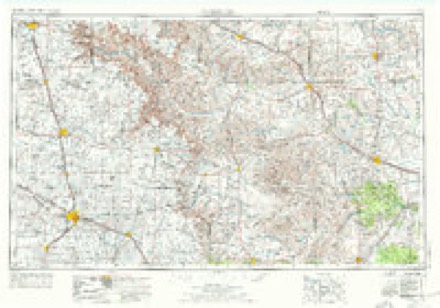
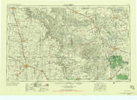
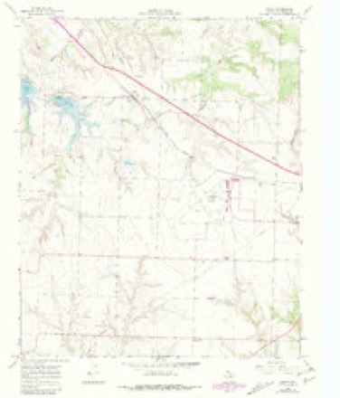
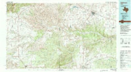
Topographic sheets covering this place
4 surveys from 8 printed sheetsMatched by testing this settlement's coordinate against the published boundary of every sheet in the United States Geological Survey's historical collection. Each opens the scanned sheet at the Survey.
- 1954 USGS Plainview quadrangle1:250000, 3 printings
- 1958 USGS Plainview quadrangle1:250000
- 1967 USGS Carey quadrangle1:24000, 2 printings
- 1986 USGS Childress quadrangle1:100000, 2 printings
Photographs
4 photographs, 1937 to 1938Taken for the Office of War Information and the Farm Security Administration, who photographed the country between 1935 and 1944. Works of United States government photographers, with no known restriction on use. Each opens its catalogue record.
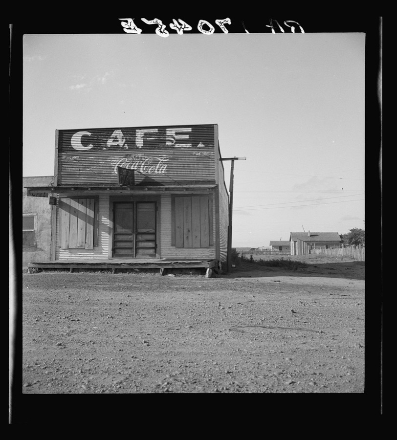
Lange, Dorothea, photographer, 1937. Library of Congress
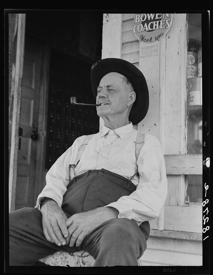
Lange, Dorothea, photographer, 1938. Library of Congress
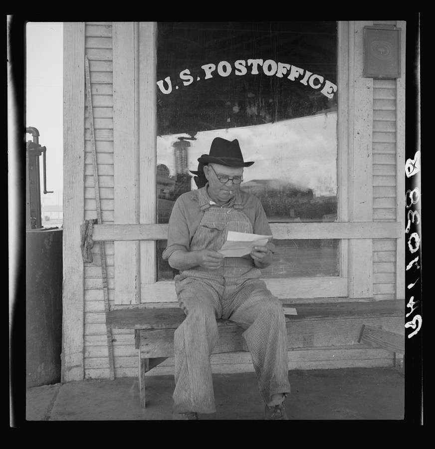
Lange, Dorothea, photographer, 1937. Library of Congress
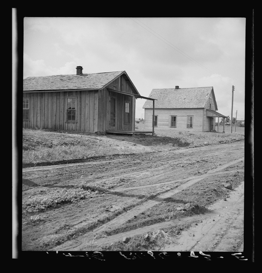
Lange, Dorothea, photographer, 1937. Library of Congress
Fires near this place
9 since 2003Regional context, not property-specific evidence. The federal wildfire occurrence database lists 9 fires within 5 miles of Carey between 2003 and 2018, burning about 5,930 acres in total. 2 started naturally. None was recorded as arson. Distance is straight-line from the map coordinates, so a fire counted here may appear on a neighbouring settlement's page as well.
| Reported cause | Fires |
|---|---|
| Debris and open burning | 2 |
| Smoking | 2 |
| Missing data/not specified/undetermined | 2 |
| Natural | 2 |
| Equipment and vehicle use | 1 |
The most recent of them, most recent first, with the day each was reported and the service that recorded it.
| Date | Cause | Size | Reported by | Name on the report |
|---|---|---|---|---|
| 29 September 2003 | Natural | 2,000 acres | Texas A & M Forest Service | ROLLING PLAINS - 21 |
| 5 February 2008 | Natural | 2.0 acres | Texas A & M Forest Service | not named |
| 25 February 2018 | Missing data/not specified/undetermined | 300 acres | Texas A & M Forest Service | HEAD 2 |
| 17 February 2016 | Equipment and vehicle use | 3,000 acres | Texas A & M Forest Service | ROCKING CHAIR RANCH |
| 13 February 2006 | Missing data/not specified/undetermined | 1.0 acres | Texas A & M Forest Service | not named |
| 10 February 2006 | Smoking | 325 acres | Texas A & M Forest Service | WEST ZONE WEST - 61 |
| 10 February 2006 | Debris and open burning | 1.0 acres | Texas A & M Forest Service | not named |
| 19 November 2007 | Smoking | 300 acres | Texas A & M Forest Service | KNOX FARM |
Settlements close enough to share some of these fires:
Storms near this place
16 since 1993Regional context, not property-specific evidence. The National Weather Service names Carey in 16 storm reports between 1993 and 2018: 8 hail, 4 thunderstorm wind, 3 tornado, 1 flood. No death or injury is recorded in these reports. Each account below is quoted exactly as the forecast office filed it, from the NOAA Storm Events Database, and each date opens the federal record of that event.
| When | Event | Place named | Harm | What the report says |
|---|---|---|---|---|
| May 2001 | Hail | Carey | $50,000 | Storm spotters reported golfball size hail. |
| April 1993 | Thunderstorm Wind | Carey | $50,000 | A combination of a weak dry line moving east across the Texas Panhandle and a cold front sagging down from the north kicked off an active severe weather day for the region. Excellent coordination by the SKYWARN spotters and area public safety officials helped minimize the damage from this severe weather outbreak. The tornados near Vega and Bushland dissipated in a matter of a minute or two. The tornado in Carson county was observed on the ground for 8 minutes but was over open pasture land with no damage reported. Lightning started a fire and destroyed a mobile home house south of Wildorado. Lightning struck a tree just north of Amarillo bursting water pipes, TEXAS, Panhandle Cont'dburning the electrical wiring, and blew out a picture window in an adjacent home. Hemphill county had window damage done from the one inch hail there. In Childress county a large downburst with winds estimated at 75 knots blew over several 50-foot trees and moved a mobile home off its foundation near Lake Baylor. Other damage was reported at the Childress Airport to hanger doors and aircraft. The ASOS there reported a gust of 76 knots. |
| April 2010 | Flood | Carey | $25,000 | Heavy rainfall centered over western Hall County resulted in significant flooding downstream along the Prairie Dog Town Fork of the Red River. The high water flooded low lying farmland, ranch land, and several roadways. No significant damage was reported. |
| May 2001 | Thunderstorm Wind | Carey | $12,000 | Strong thunderstorm wind destroyed several barns. |
| June 1996 | Thunderstorm Wind | Carey | $5,000 | no account filed |
| June 2002 | Thunderstorm Wind | Carey | $2,000 | A number of power poles were blown down. |
| May 2018 | Hail | Carey | - | A hail swath up to golf ball size extended into Childress County along US Highway 287 southeast of Estelline. |
| April 2013 | Hail | Carey | - | A storm chaser reported golf ball size hail covering Highway 287 about six miles northwest of Childress. The extent of damage to vehicles was unknown. |
| April 2010 | Hail | Carey | - | Skywarn storm spotters reported ping pong ball size hail along U.S. Highway 287 near Carey. |
| June 1995 | Tornado (F0) | Carey | - | Several weak tornadoes were reported by spotters and TV media. Viewing the video taken by KFDA-TV revealed four tornadoes each being occluded, then redeveloping from the parent storm. The Department of Public Safety reported several trucks overturned north of Childress and numerous power lines down. Tornado paths are an estimate. |
| June 1995 | Tornado (F0) | Carey | - | Several weak tornadoes were reported by spotters and TV media. Viewing the video taken by KFDA-TV revealed four tornadoes each being occluded, then redeveloping from the parent storm. The Department of Public Safety reported several trucks overturned north of Childress and numerous power lines down. Tornado paths are an estimate. |
| June 1995 | Tornado (F1) | Carey | - | Several weak tornadoes were reported by spotters and TV media. Viewing the video taken by KFDA-TV revealed four tornadoes each being occluded, then redeveloping from the parent storm. The Department of Public Safety reported several trucks overturned north of Childress and numerous power lines down. Tornado paths are an estimate. |
| July 2004 | Hail | Carey | - | no account filed |
| May 2001 | Hail | Carey | - | no account filed |
| May 2001 | Hail | Carey | - | no account filed |
| May 2001 | Hail | Carey | - | no account filed |
Nearest settlements
The eight closest, with where each one stands in the county. Distances are straight-line, computed from the Geographic Names Information System coordinates.
Elsewhere
Matched on this settlement's Geographic Names Information System number rather than its name, so it cannot be a different place of the same name in another state.
| Wikipedia article on Carey | An encyclopaedic summary. Its text is share-alike, so it is linked here rather than copied. |
| Wikidata item Q5039152 | The structured record the population and elevation above come from. Public domain (CC0). |
Provenance
This settlement is recorded in the Geographic Names Information System as feature 1353815. The sheet list is computed by point-in-boundary test against the United States Geological Survey's historical topographic inventory. Both are works of the United States government and carry no copyright under 17 U.S.C. 105.
Wildfire. Short, Karen C. 2022. Spatial wildfire occurrence data for the United States, 1992-2020 [FPA_FOD_20221014]. 6th Edition. Fort Collins, CO: Forest Service Research Data Archive. https://doi.org/10.2737/RDS-2013-0009.6 Collected with United States Government funding and usable without additional permissions or fees.
Storms. NOAA National Centers for Environmental Information, Storm Events Database https://www.ncei.noaa.gov/stormevents/ A work of the United States government, no copyright under 17 U.S.C. 105. Narratives are quoted verbatim from the National Weather Service report and are not edited or summarised.