 Block
BlockFrom the record
2 National Register listings published here.
Sources: the National Register database, National Park Service
57 topographic sheets cover 11 settlements here, and 2 properties are on the National Register of Historic Places.
2 National Register listings published here.
Sources: the National Register database, National Park Service
Every property in this county listed on the National Register of Historic Places, with the year it was listed and the federal nomination document.
| Photograph | Property | Type | Listed | Reference |
|---|---|---|---|---|
 | Concho County Courthouse | building | 1977 | 77001433 |
 | Eola School | building | 2005 | 05001458 |
Drawn when these were printed as single large sheets: the town seen from the air, and the county divided into its farms with every owner named. Each opens the original at the Library of Congress.


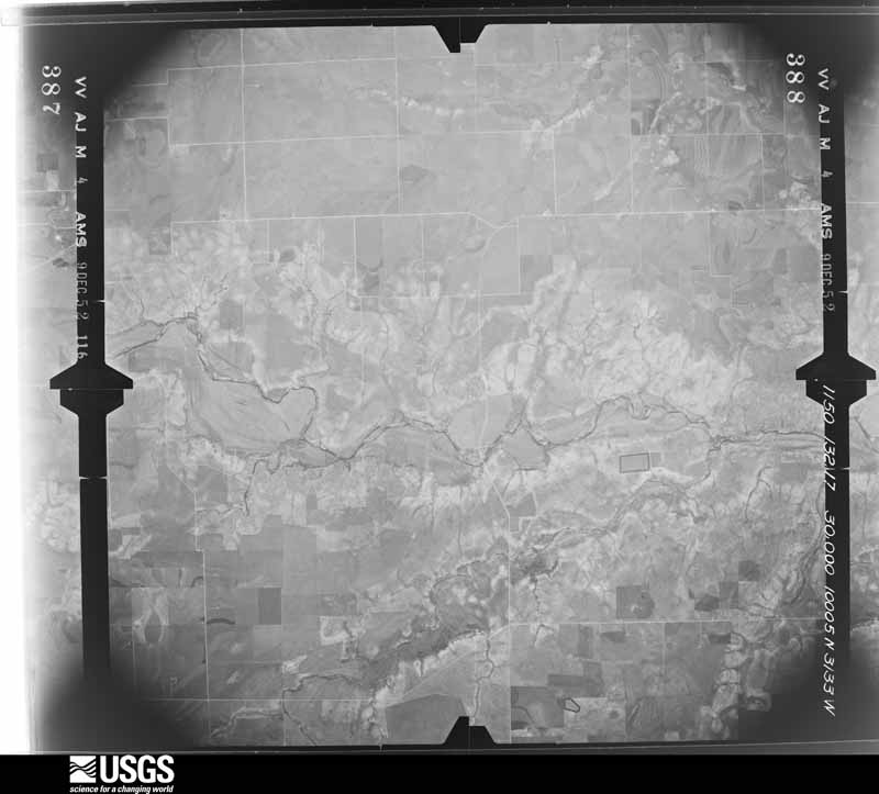
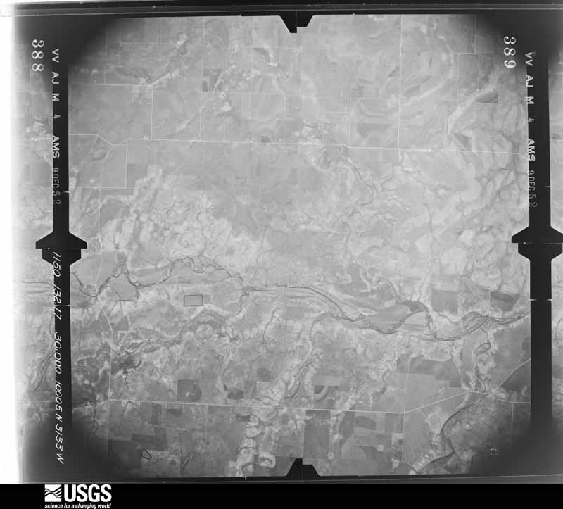
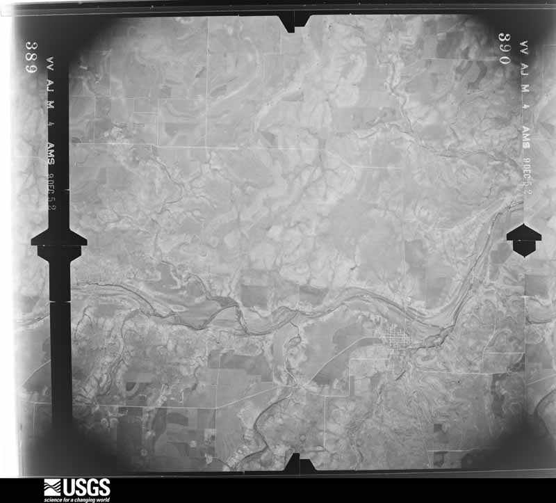
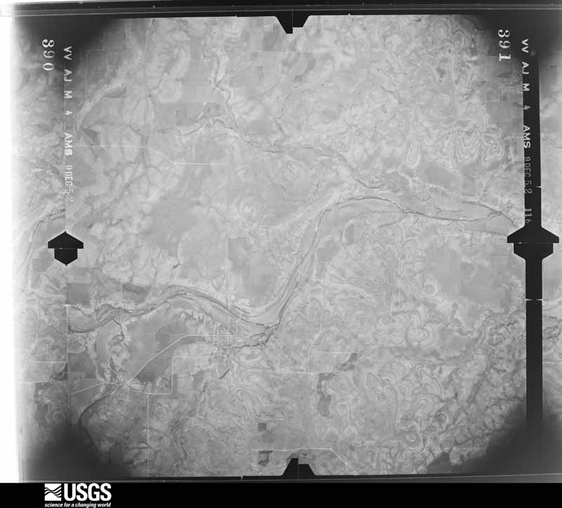
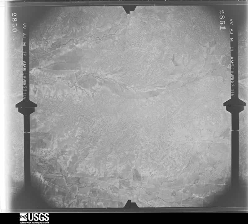
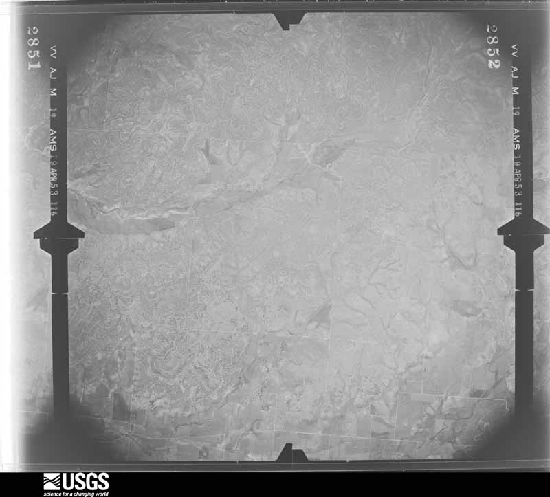
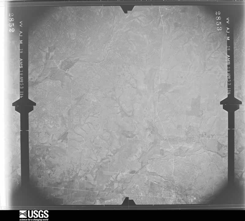
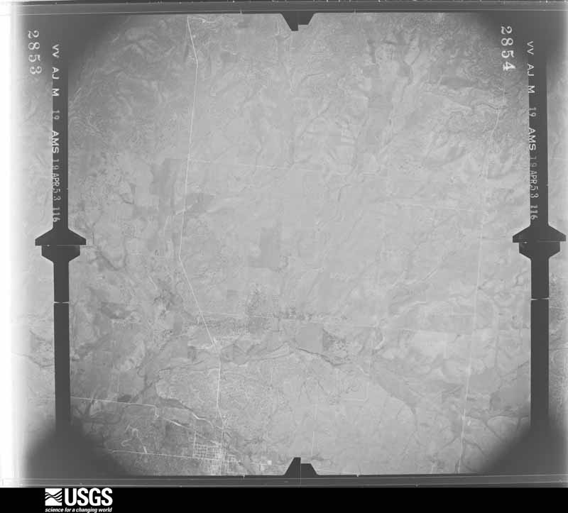
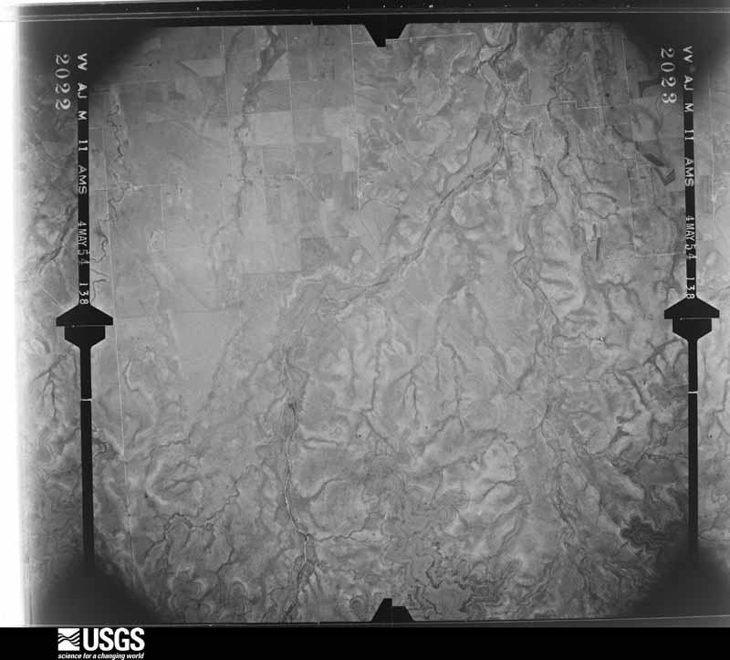
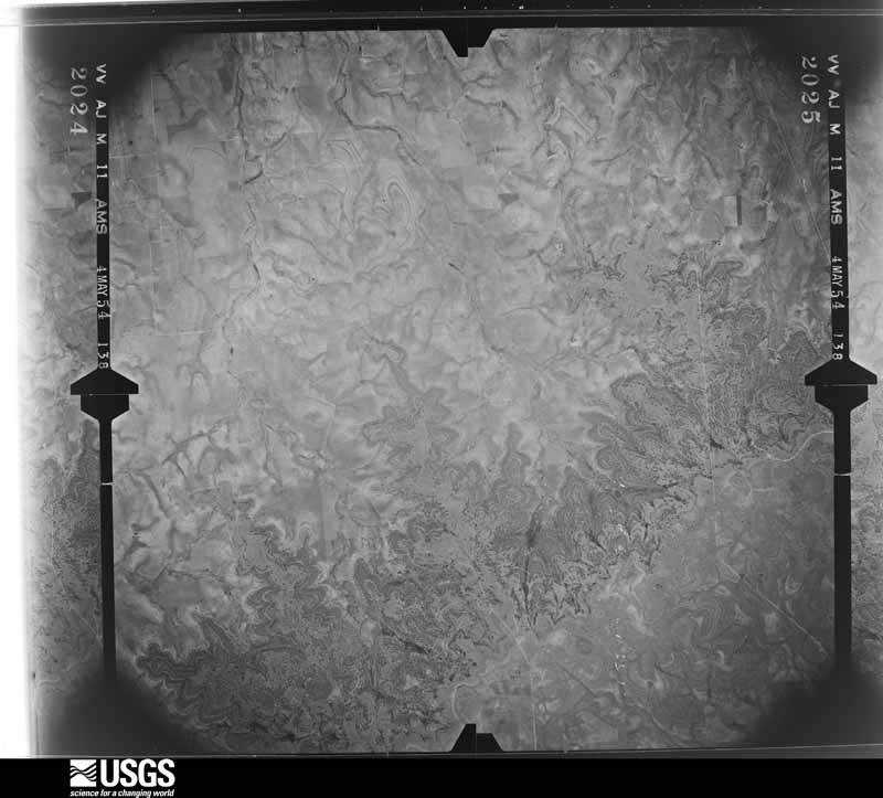
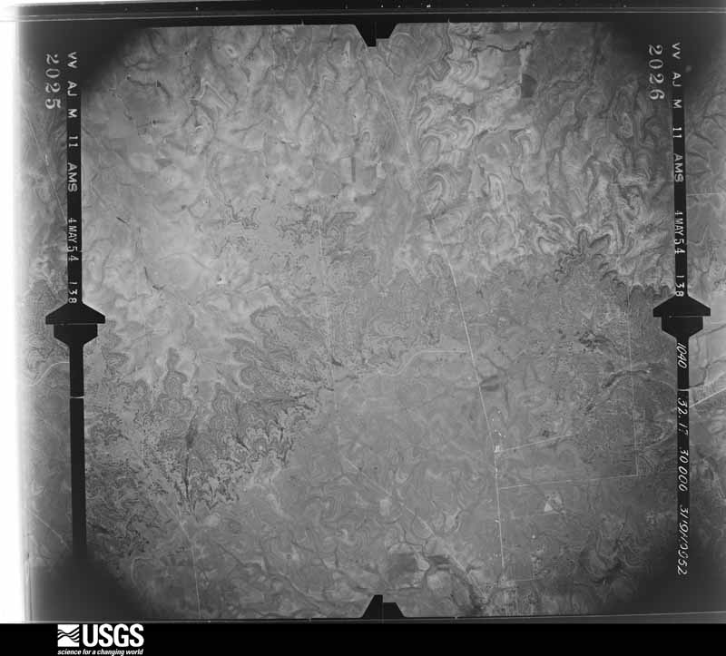
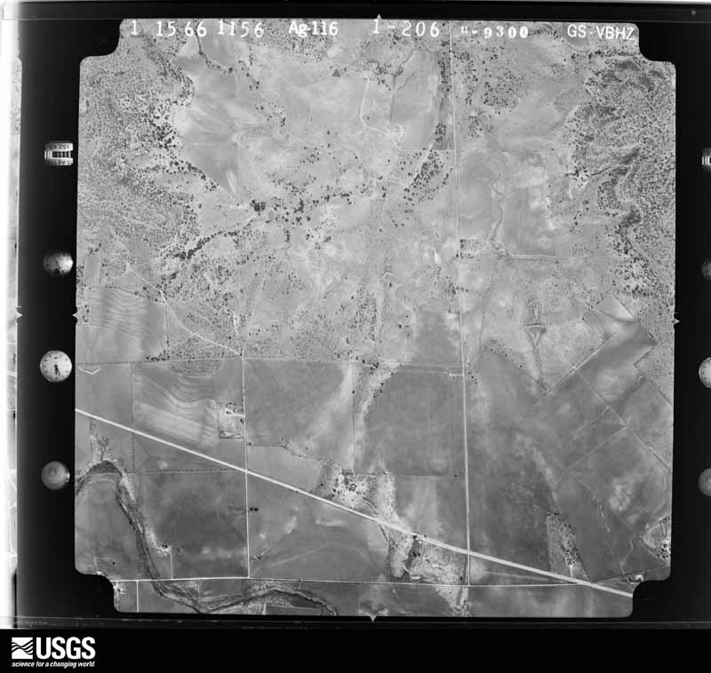
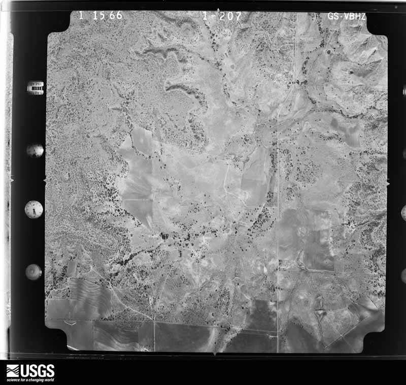
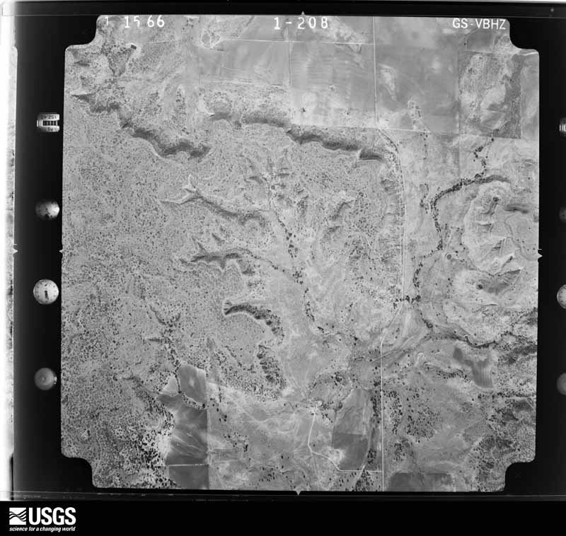
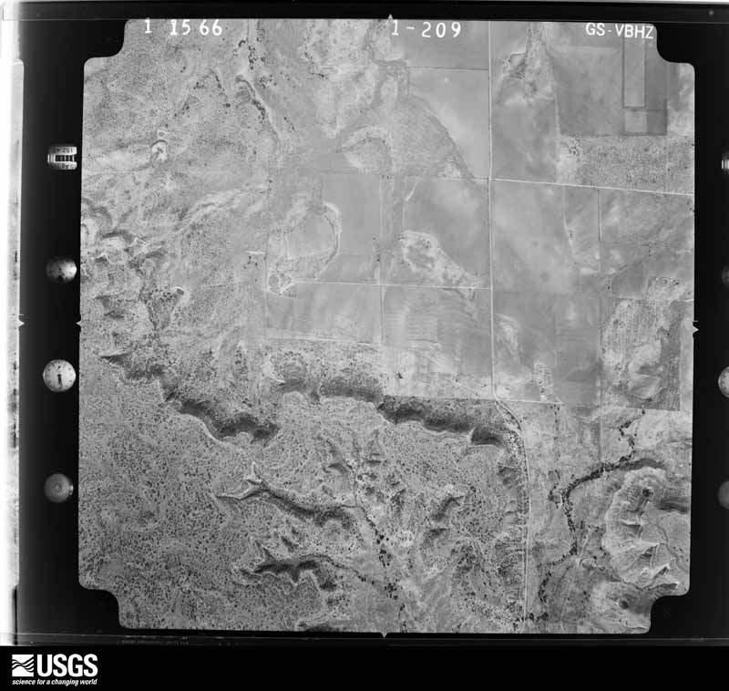
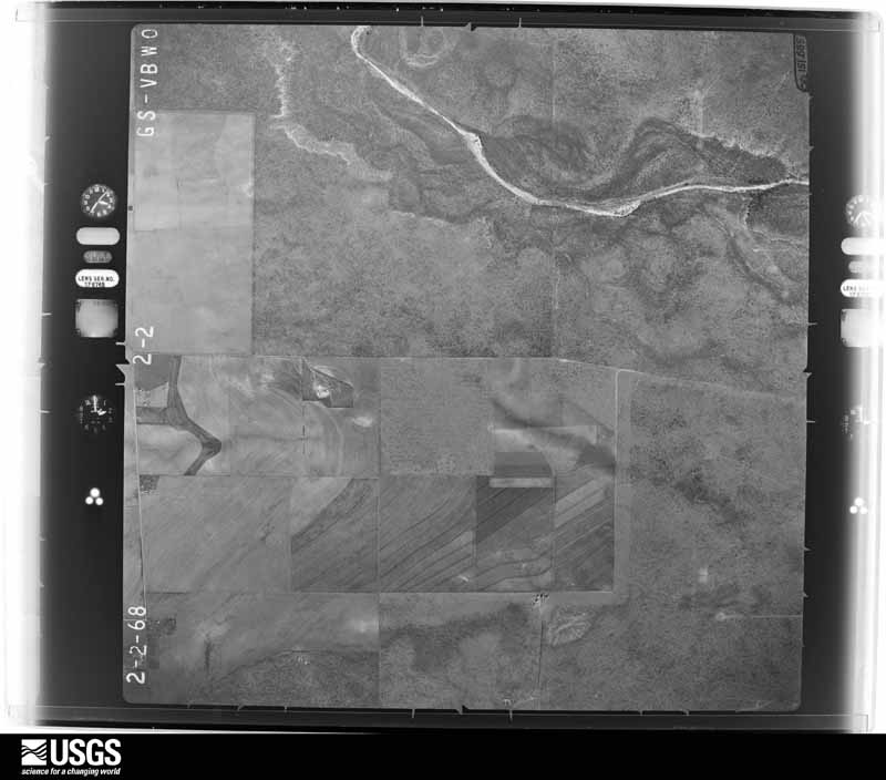
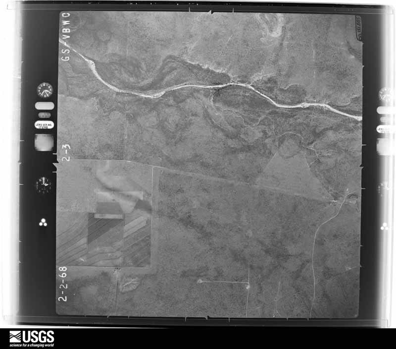
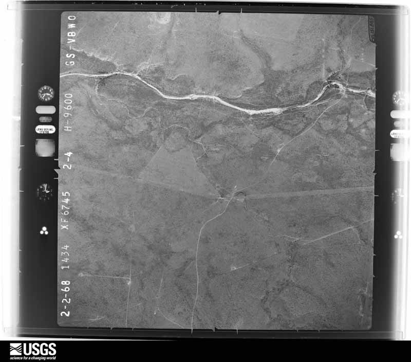
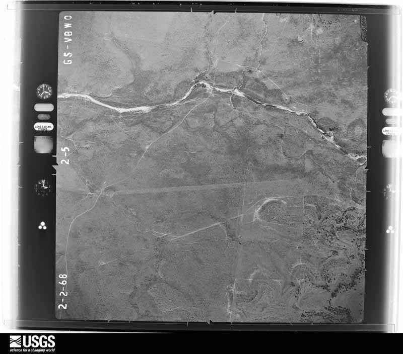
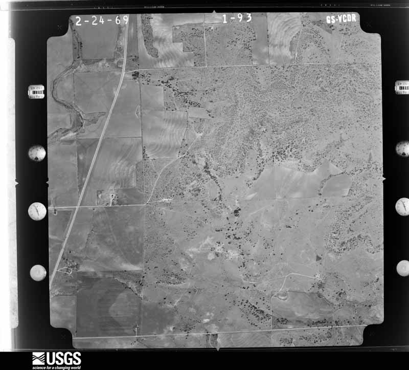
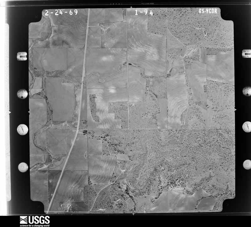
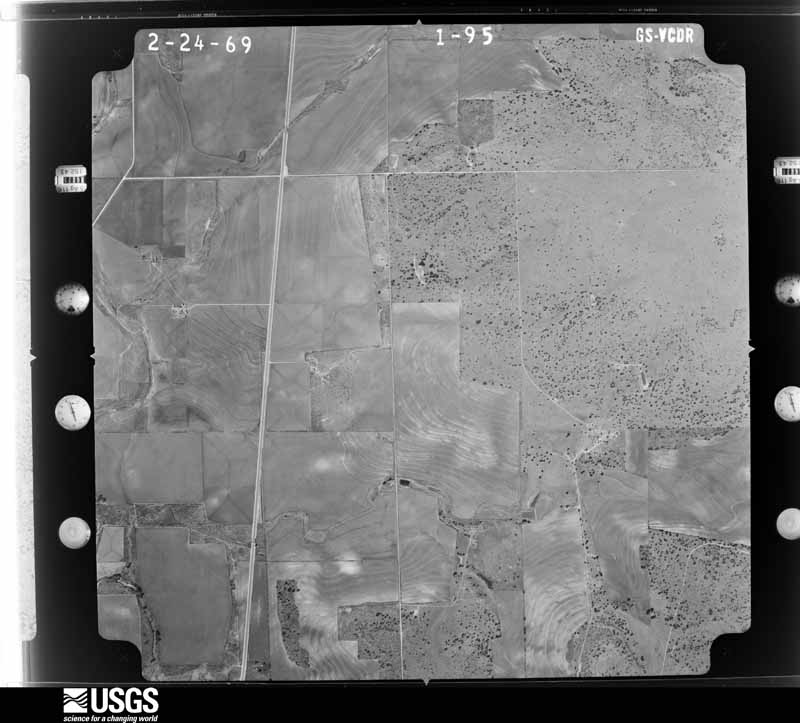
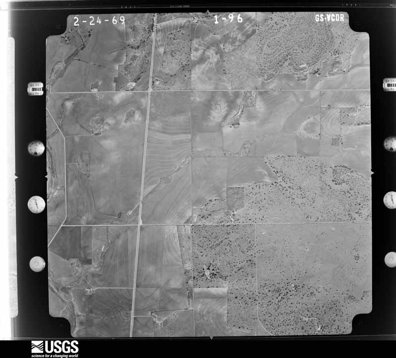
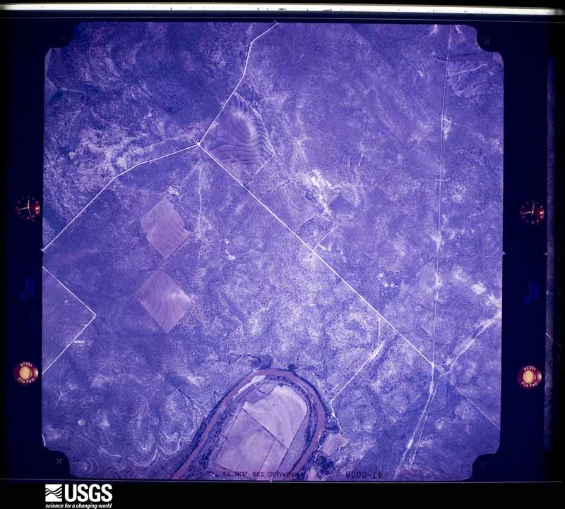
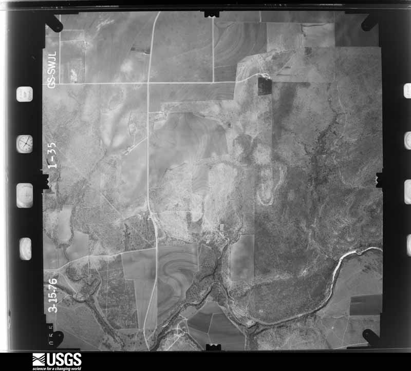
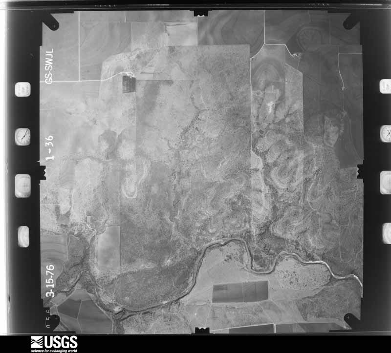
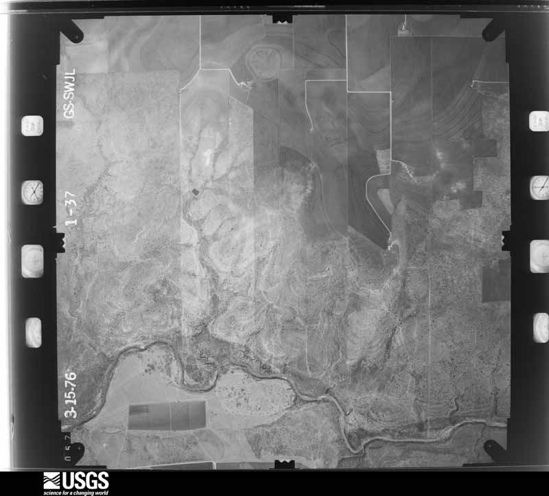
Flown by the U.S. Geological Survey between 1937 and 1989, the Aerial Photo Single Frames collection is the definitive mid-century view of the land: fields, roads and rivers as the camera saw them. The Survey holds 1,157 frames inside the rectangle that bounds this county; the 44 frames below were taken over the county itself, chosen across the decades of flights (at most four a year from that rectangle), so one flight cannot crowd out the rest. The full set is free to browse and download at EarthExplorer under the dataset Aerial Photo Single Frames.









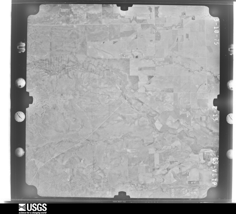
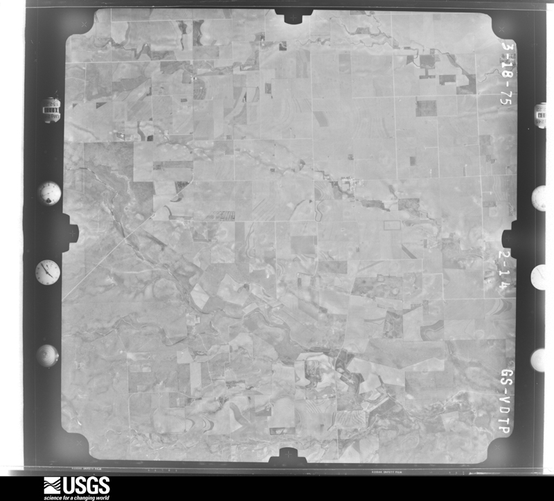
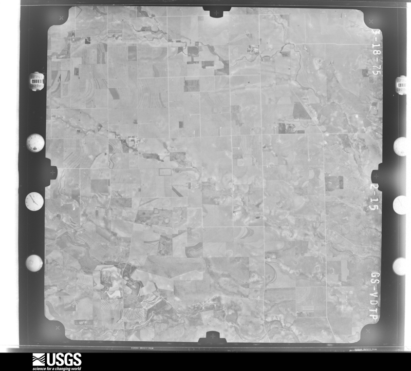
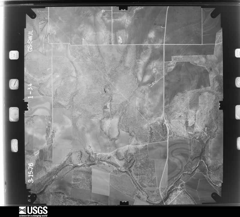




The thermometers that kept this county's weather, and the gages that measured the flow of its streams, as the federal records hold them. The extremes below are measured values from those records, not estimates.
Who lived here in 1950, one enumeration district at a time, as the Census Bureau described each district. Each row opens its official National Archives result, with Population Schedules and ED Maps available there.
Every wildfire the federal occurrence database records inside this county: 214 of them, burning about 20,408 acres. 33 started naturally and 6 were recorded as arson. Each settlement page carries the fires within five miles of it.
| Reported cause | Fires |
|---|---|
| Missing data/not specified/undetermined | 64 |
| Equipment and vehicle use | 53 |
| Natural | 33 |
| Debris and open burning | 30 |
| Smoking | 15 |
| Power generation/transmission/distribution | 8 |
| Arson/incendiarism | 6 |
| Recreation and ceremony | 3 |
| Misuse of fire by a minor | 2 |
The five largest, by the area the report gives. None of them was recorded as arson.
| Date | Cause | Size | Reported by | Name on the report |
|---|---|---|---|---|
| 5 August 2016 | Missing data/not specified/undetermined | 6,623 acres | Texas A & M Forest Service | HORSE CREEK RANCH |
| 12 July 2020 | Natural | 1,110 acres | Texas A & M Forest Service | SIMS |
| 24 January 2017 | Missing data/not specified/undetermined | 1,000 acres | Texas A & M Forest Service | TRAIL RANCH |
| 18 August 2010 | Natural | 750 acres | Texas A & M Forest Service | CONCHO RIVER RANCH |
| 25 April 2011 | Missing data/not specified/undetermined | 654 acres | Texas A & M Forest Service | TAYLOR FIRE |
| 20 September 2017 | Natural | 651 acres | Texas A & M Forest Service | SULTIEMIER RANCH |
| 13 August 2020 | Debris and open burning | 478 acres | Texas A & M Forest Service | BURK |
| 7 February 2016 | Missing data/not specified/undetermined | 380 acres | Texas A & M Forest Service | SPILLER FIRE |
Every settlement page carries the fires within five miles of it - see the settlement index below.
The NOAA Storm Events Database holds 269 reports for this county, causing no deaths, 2 injuries and about $3,572,000 in recorded property damage. Each settlement page carries the reports that name it.
| Kind of event | Reports |
|---|---|
| Hail | 173 |
| Thunderstorm Wind | 55 |
| Tornado | 29 |
| Flash Flood | 12 |
The most serious of them, by death, then injury, then recorded damage. The accounts are quoted exactly as the forecast office filed them.
| When | Event | Place named | Harm | What the report says |
|---|---|---|---|---|
| May 1989 | Thunderstorm Wind | not stated | 2 hurt | no account filed |
| May 2008 | Hail | Eden | $3,000,000 | Hail larger than baseballs of about 3.5 inches was measured on the east side of Eden. This wind driven hail storm damaged and destroyed many buildings across Eden. |
| September 2012 | Flash Flood | Paint Rock | $150,000 | Law enforcement reported Highway 83 along the border of Runnels and Concho Counties was closed with four feet of water over the roadway. Concho County had about 14 to 15 miles of county roads washed away or severely damaged. |
| May 1997 | Thunderstorm Wind | Eden | $100,000 | Many large oak trees were uprooted by the winds. There was also damage to pens, barns, and windmills on ranches. |
| May 1995 | Tornado (F0) | Lowake | $50,000 | no account filed |
| May 1995 | Hail | Eden | $30,000 | no account filed |
| May 2005 | Hail | Paint Rock | $25,000 | A nearly stationary thunderstorm continued to produce golfball size hail in Paint Rock, and caused damage to vehicles and homes. |
| May 1989 | Tornado (F1) | not stated | $25,000 | no account filed |
| June 1995 | Thunderstorm Wind | Eola | $20,000 | A two week period of frequent severe weather came to a close on the 10th. A weak tornado was reported by the Terry County Sheriff's Office in east Brownfield. It caused about $20 thousand in damages and tossed a large metal shed about 275 feet and destroyed it. Otherwise, there were numerous reports of dime to golf ball-size hail, especially in Hale, Lubbock, and Floyd Counties. Baseball-size hail was reported close to Guthrie by the King County Sheriff's Office, but caused no known damage. In northern Dickens County, a female was injured after being struck by lightning. She suffered superficial burns, plus headaches, soreness, and numbness for several days. It was foggy and storms were at least five miles away at the time of theincident. She had been standing in her backyard just 50 to 100 feet away from several large trees and an antenna. |
| May 1995 | Tornado (F0) | Eola | $20,000 | no account filed |
| May 1995 | Thunderstorm Wind | Vick | $20,000 | no account filed |
| May 1995 | Tornado (F0) | Eden | $15,000 | no account filed |
| June 2003 | Thunderstorm Wind | Eden | $10,000 | Strong thunderstorm winds caused a porch to blow down onto a house and knocked down several large trees. |
| May 2002 | Hail | Paint Rock | $10,000 | Baseball size hail produced roof damage at Paint Rock. |
| June 1998 | Thunderstorm Wind | Eola | $10,000 | A barn was destroyed by high winds |
| June 1995 | Thunderstorm Wind | Eden | $10,000 | A two week period of frequent severe weather came to a close on the 10th. A weak tornado was reported by the Terry County Sheriff's Office in east Brownfield. It caused about $20 thousand in damages and tossed a large metal shed about 275 feet and destroyed it. Otherwise, there were numerous reports of dime to golf ball-size hail, especially in Hale, Lubbock, and Floyd Counties. Baseball-size hail was reported close to Guthrie by the King County Sheriff's Office, but caused no known damage. In northern Dickens County, a female was injured after being struck by lightning. She suffered superficial burns, plus headaches, soreness, and numbness for several days. It was foggy and storms were at least five miles away at the time of theincident. She had been standing in her backyard just 50 to 100 feet away from several large trees and an antenna. |
| May 1995 | Tornado (F0) | Vick | $10,000 | Extreme winds and giant hail slammed San Angelo, injuring at least 80 people and causing about $120,000,000 in damage. The bulk of the damage occurred in a path that spread from two miles wide at O.C. Fisher Dam to five miles wide at Goodfellow Air Force Base. Sixty-one dwellings were destroyed, 650 sustained major damage, and over 9,000 were slightly damaged. Ten thousand street and security lights were damaged, thousands of trees were uprooted or heavily damaged, and thousands of vehicles were dented. Near the core of the damage path, hail was six inches deep with drifts to two feet. An additional $8,000,000 in damage was sustained by Goodfellow Air Force Base. The storm that inflicted the destruction was a right-turning supercell that initially formed in Upton County, 75 miles west of San Angelo. By the time it reached San Angelo, it was moving southeast. The tremendous damage lead many to believe that a tornado had struck. However, a survey team determined that the damage was mainly due to large hail and high winds. |
| May 1995 | Hail | Vick | $10,000 | no account filed |
| May 1995 | Hail | Paint Rock | $10,000 | no account filed |
| April 2011 | Hail | Eola | $5,000 | The large hail shattered four windows, the siding and the roof of a mobile home. The hail also broke all of the windows on a truck. |
| May 2005 | Hail | Paint Rock | $5,000 | As golfball Size hail fell in Paint Rock for the past four minutes, the hail damaged windows and roofs. |
| May 2005 | Hail | Paint Rock | $5,000 | Large hail fell in Paint Rock for a little over 30 minutes, and caused considerable damage. |
| May 2002 | Hail | Millersview | $5,000 | Baseball size hail over eastern Concho County broke windows out of an automobile. |
| June 2003 | Thunderstorm Wind | Eden | $5,000 | no account filed |
| May 1999 | Thunderstorm Wind | Paint Rock | $3,000 | An apparent microburst ripped part of a tin roof off of a mobile home near the O.H. Ivie Reservoir in northeast Concho County. |
| May 1998 | Thunderstorm Wind | Lowake | $3,000 | A workshed was destroyed by high winds |
| May 1989 | Tornado (F1) | not stated | $2,500 | no account filed |
| September 1988 | Tornado (F0) | not stated | $2,500 | no account filed |
| September 1977 | Tornado (F1) | not stated | $2,500 | no account filed |
| April 1960 | Tornado (F1) | not stated | $2,500 | no account filed |
| June 2003 | Hail | Lowake | $2,000 | Car windows broken. |
| September 2001 | Thunderstorm Wind | Lowake | $1,000 | Winds estimated up to 60 mph ripped a patio roof off of a barn. |
| May 1998 | Tornado (F0) | Lowake | $1,000 | Tornado destroyed an irrigation system |
| June 1999 | Thunderstorm Wind | Millersview | $500 | A barn suffered minor roof damage from high thunderstorm winds. |
| May 1998 | Thunderstorm Wind | Millersview | $500 | Large water tank blown across a field |
| April 1993 | Thunderstorm Wind | Paint Rock | $500 | Downburst winds reached speeds of 67 mph at the NWS Office in San Angelo. Minor damage to roofs and tree limbs resulted. As the storm moved into Concho County, a cooperative observer reported winds in excess of 60 mph in Paint Rock. No significant damage was noted in Paint Rock. |
| May 1993 | Hail | Eden | $500 | The Concho County Sheriff's Office reported golf ball-size hail in Eden. Only minor damage resulted. |
| March 2025 | Thunderstorm Wind | Millersview | - | A mesonet observation station reported a 59 mph wind gust. |
| May 2025 | Hail | Eden | - | Public report of golf ball size hail. |
| May 2024 | Hail | Eden | - | Sheriff's office reported golf ball size hail in Eden. Time estimated by radar. |
| May 2024 | Hail | Millersview | - | An amateur radio operator reported half dollar size hail. |
| May 2024 | Hail | Millersview | - | The public reported tennis ball size hail in Millersview. |
| May 2024 | Hail | Millersview | - | Law Enforcement reported tennis ball size hail in Millersview. |
| May 2024 | Hail | Concho | - | Public reported grapefruit size hail at the Concho Marina Park. |
| May 2024 | Hail | Concho | - | A trained spotter reported baseball size hail at Lake O.H. Ivie. |
| May 2024 | Hail | Concho | - | Law enforcement reported golf ball size hail. |
| May 2024 | Flash Flood | Millersview | - | Law Enforcement reported flooded roads between Millersview and Lake O.H. Ivie. |
| May 2024 | Hail | Millersview | - | An amateur radio operator reported quarter size hail. |
| May 2024 | Hail | Concho | - | A trained spotter reported 3.5 inch diameter hail. |
| May 2024 | Hail | Millersview | - | The public reported grapefruit size hail with damage to vehicles and metal awnings. |
| May 2024 | Tornado (EF2) | Concho | - | The tornado damaged electrical transmission lines on several|metal truss towers. One of the metal truss towers collapsed due|to the tornado increasing in intensity to an EF2. The path length |and width of the tornado was based on radar and photos of the|damage. The estimated peak wind of the tornado was 130 mph. |
| September 2024 | Flash Flood | Concho | - | A County Official reported Farm to Market Road 1929 is closed at Fuzzy Creek due to flooding. |
| April 2023 | Thunderstorm Wind | Millersview | - | The gust was measured at a West Texas Mesonet site. |
| April 2023 | Thunderstorm Wind | Millersview | - | There were tree limbs blown down with hail covering the ground. |
| April 2023 | Hail | Concho | - | The pong ball size hail was reported at OH Ivie Lake. |
| April 2023 | Thunderstorm Wind | Millersview | - | A mesonet observation 3 miles WNW of Doole. |
| March 2023 | Hail | Paint Rock | - | The public also reported dime to nickel size hail. The hail fell until 4:05 PM. |
| May 2023 | Thunderstorm Wind | Millersview | - | The West Texas Mesonet 3 miles west-northwest of Doole reported a wind gust of 73 mph along with a few gusts over 60 mph from 10:17 to 10:32 PM CDT. |
| May 2023 | Thunderstorm Wind | Millersview | - | The West Texas Mesonet recorded a wind gust of 68 mph. |
| June 2023 | Thunderstorm Wind | Eden | - | COOP observer reported a wind gust of 60 mph. |
Named settlements recorded in the Geographic Names Information System, each with the topographic sheets covering it. Villages, hamlets and abandoned places alike. Each is shown with the nearest named watercourse or landform and the survey quadrangle it falls on.
Eola-Paint Rock census division · 76866 · On Amos Creek · Concho quadrangle
16 sheets, 1892 to 1985
Eden-Millersview census division · 76862 · On Middle Fork Mustang Creek · Millersview quadrangle
12 sheets, 1892 to 1985
Eola-Paint Rock census division · 76866 · On Hog Creek · Paint Rock quadrangle
14 sheets, 1892 to 1985