 Block
BlockVick, Texas
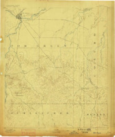
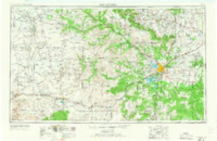
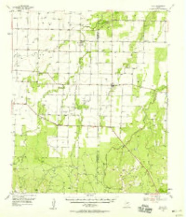
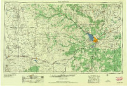
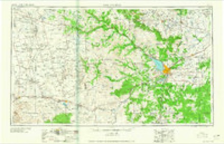
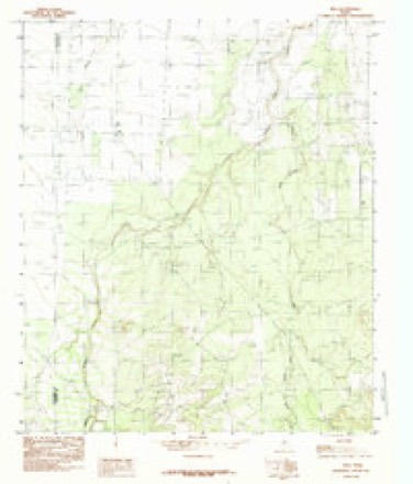
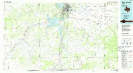
11 topographic sheets cover this place, the earliest surveyed in 1892 and the latest in 1986. It stands in the Eola-Paint Rock census division. It lies in ZIP code area 76866. The Survey maps it on the Vick quadrangle.
Topographic sheets covering this place
7 surveys from 11 printed sheetsMatched by testing this settlement's coordinate against the published boundary of every sheet in the United States Geological Survey's historical collection. Each opens the scanned sheet at the Survey.
- 1892 USGS San Angelo quadrangle1:125000, 3 printings
- 1954 USGS San Angelo quadrangle1:250000, 2 printings
- 1957 USGS Eola quadrangle1:62500
- 1958 USGS San Angelo quadrangle1:250000
- 1965 USGS San Angelo quadrangle1:250000
- 1984 USGS Vick quadrangle1:24000
- 1986 USGS San Angelo quadrangle1:100000, 2 printings
Fires near this place
19 since 2006Regional context, not property-specific evidence. The federal wildfire occurrence database lists 19 fires within 5 miles of Vick between 2006 and 2020, burning about 267 acres in total. 3 started naturally. 1 was recorded as arson. Distance is straight-line from the map coordinates, so a fire counted here may appear on a neighbouring settlement's page as well.
| Reported cause | Fires |
|---|---|
| Equipment and vehicle use | 7 |
| Natural | 3 |
| Missing data/not specified/undetermined | 3 |
| Debris and open burning | 3 |
| Smoking | 1 |
| Arson/incendiarism | 1 |
| Power generation/transmission/distribution | 1 |
The most recent of them, most recent first, with the day each was reported and the service that recorded it.
| Date | Cause | Size | Reported by | Name on the report |
|---|---|---|---|---|
| 25 August 2010 | Natural | 150 acres | Texas A & M Forest Service | US 87 SOUTH & FORT MC KAVNETT ROAD |
| 19 August 2011 | Equipment and vehicle use | 1.0 acres | Texas A & M Forest Service | OXLEY RD AND 87 #2 |
| 1 August 2009 | Natural | under an acre | Texas A & M Forest Service | POWELL LANE AND KKOTRLA RD |
| 9 June 2008 | Equipment and vehicle use | 1.0 acres | Texas A & M Forest Service | not named |
| 30 June 2020 | Missing data/not specified/undetermined | 15 acres | Texas A & M Forest Service | VIC LOOP |
| 25 June 2010 | Debris and open burning | 1.0 acres | Texas A & M Forest Service | ROBERTS RD AND OXLEY RD |
| 15 June 2011 | Arson/incendiarism | 2.0 acres | Texas A & M Forest Service | 12616 U.S. 87 SOUTH |
| 11 June 2011 | Equipment and vehicle use | 1.0 acres | Texas A & M Forest Service | VICK LOOP |
Settlements close enough to share some of these fires:
Storms near this place
7 since 1995Regional context, not property-specific evidence. The National Weather Service names Vick in 7 storm reports between 1995 and 2006: 4 hail, 2 tornado, 1 thunderstorm wind. No death or injury is recorded in these reports. Each account below is quoted exactly as the forecast office filed it, from the NOAA Storm Events Database, and each date opens the federal record of that event.
| When | Event | Place named | Harm | What the report says |
|---|---|---|---|---|
| May 1995 | Thunderstorm Wind | Vick | $20,000 | no account filed |
| May 1995 | Tornado (F0) | Vick | $10,000 | Extreme winds and giant hail slammed San Angelo, injuring at least 80 people and causing about $120,000,000 in damage. The bulk of the damage occurred in a path that spread from two miles wide at O.C. Fisher Dam to five miles wide at Goodfellow Air Force Base. Sixty-one dwellings were destroyed, 650 sustained major damage, and over 9,000 were slightly damaged. Ten thousand street and security lights were damaged, thousands of trees were uprooted or heavily damaged, and thousands of vehicles were dented. Near the core of the damage path, hail was six inches deep with drifts to two feet. An additional $8,000,000 in damage was sustained by Goodfellow Air Force Base. The storm that inflicted the destruction was a right-turning supercell that initially formed in Upton County, 75 miles west of San Angelo. By the time it reached San Angelo, it was moving southeast. The tremendous damage lead many to believe that a tornado had struck. However, a survey team determined that the damage was mainly due to large hail and high winds. |
| May 1995 | Hail | Vick | $10,000 | no account filed |
| May 2006 | Tornado (F0) | Vick | - | The tornado was a brief touch down that was observed by a storm chaser and a local volunteer fire fighter. |
| May 2005 | Hail | Vick | - | no account filed |
| May 2000 | Hail | Vick | - | no account filed |
| April 1997 | Hail | Vick | - | no account filed |
Nearest settlements
The eight closest, with where each one stands in the county. Distances are straight-line, computed from the Geographic Names Information System coordinates.
| Map | Place | Distance | Sheets |
|---|---|---|---|
| Eola | 4.0 miles | 11 | |
| Henderson Chapel | 5.1 miles | 11 | |
| Paint Rock | 14.7 miles | 14 | |
| Lowake | 15.6 miles | 15 | |
| Eden | 15.6 miles | 11 | |
| Live Oak | 16.4 miles | 12 | |
| Millersview | 18.4 miles | 12 | |
| Concho | 20.1 miles | 16 |
Provenance
This settlement is recorded in the Geographic Names Information System as feature 1370630. The sheet list is computed by point-in-boundary test against the United States Geological Survey's historical topographic inventory. Both are works of the United States government and carry no copyright under 17 U.S.C. 105.
Wildfire. Short, Karen C. 2022. Spatial wildfire occurrence data for the United States, 1992-2020 [FPA_FOD_20221014]. 6th Edition. Fort Collins, CO: Forest Service Research Data Archive. https://doi.org/10.2737/RDS-2013-0009.6 Collected with United States Government funding and usable without additional permissions or fees.
Storms. NOAA National Centers for Environmental Information, Storm Events Database https://www.ncei.noaa.gov/stormevents/ A work of the United States government, no copyright under 17 U.S.C. 105. Narratives are quoted verbatim from the National Weather Service report and are not edited or summarised.