 Block
BlockFrom the record
2 National Register listings published here.
Sources: the National Register database, National Park Service
20 topographic sheets cover 13 settlements here, and 2 properties are on the National Register of Historic Places.
2 National Register listings published here.
Sources: the National Register database, National Park Service
Every property in this county listed on the National Register of Historic Places, with the year it was listed and the federal nomination document.
| Photograph | Property | Type | Listed | Reference |
|---|---|---|---|---|
 | Dickens County Courthouse and Jail | building | 1980 | 80004098 |
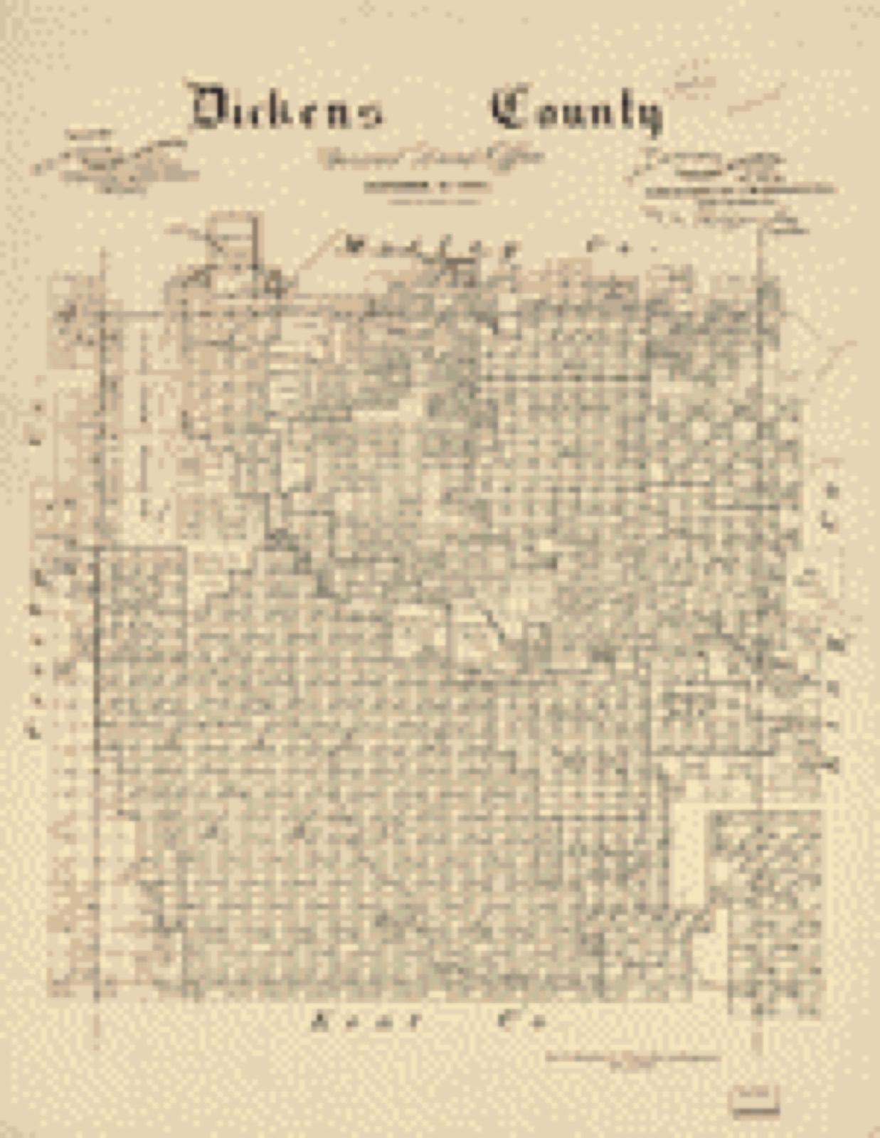
Drawn when these were printed as single large sheets: the town seen from the air, and the county divided into its farms with every owner named. Each opens the original at the Library of Congress.
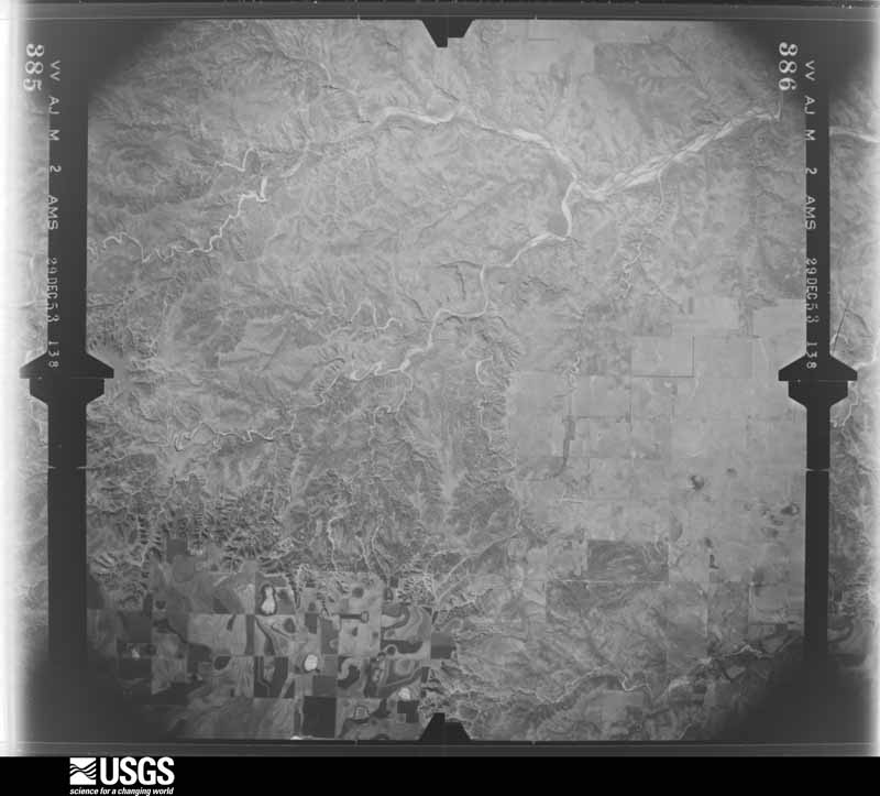
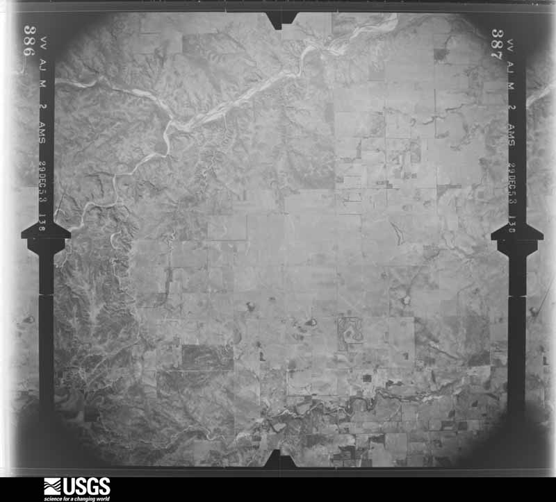
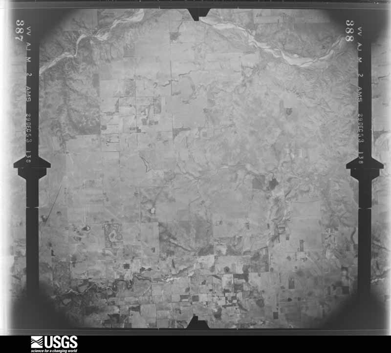
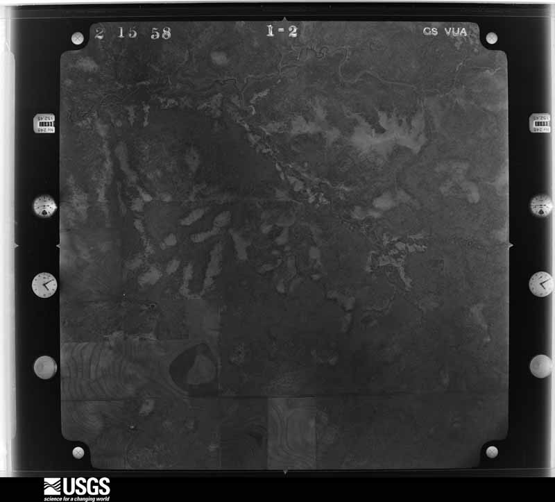
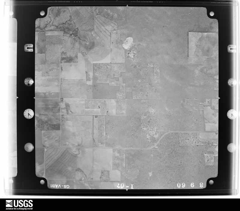
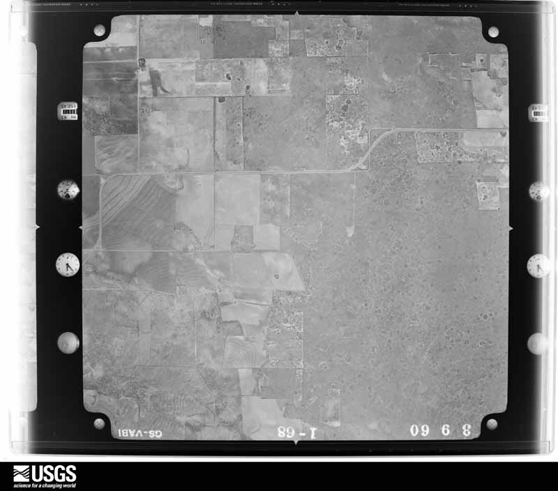
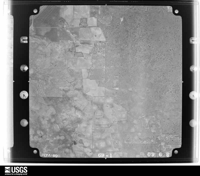
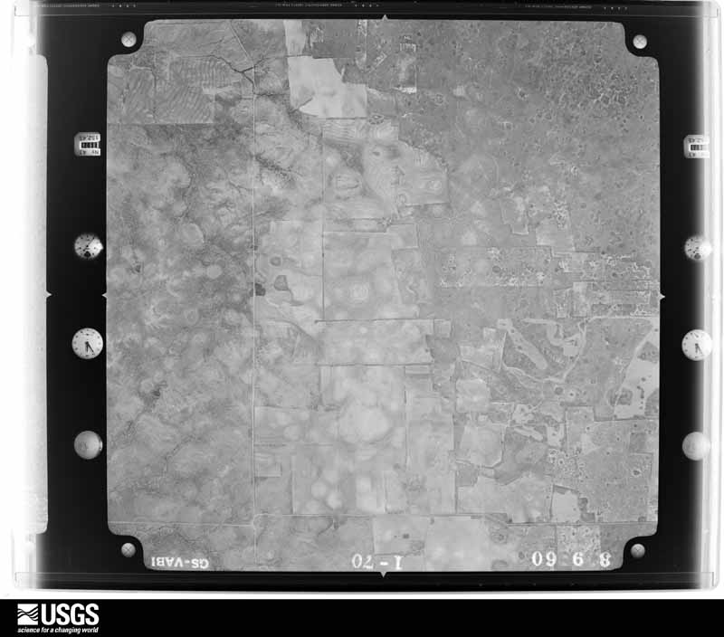
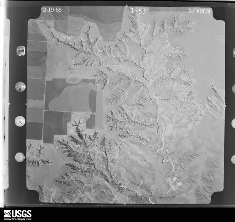
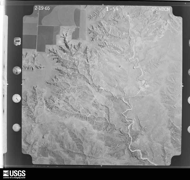
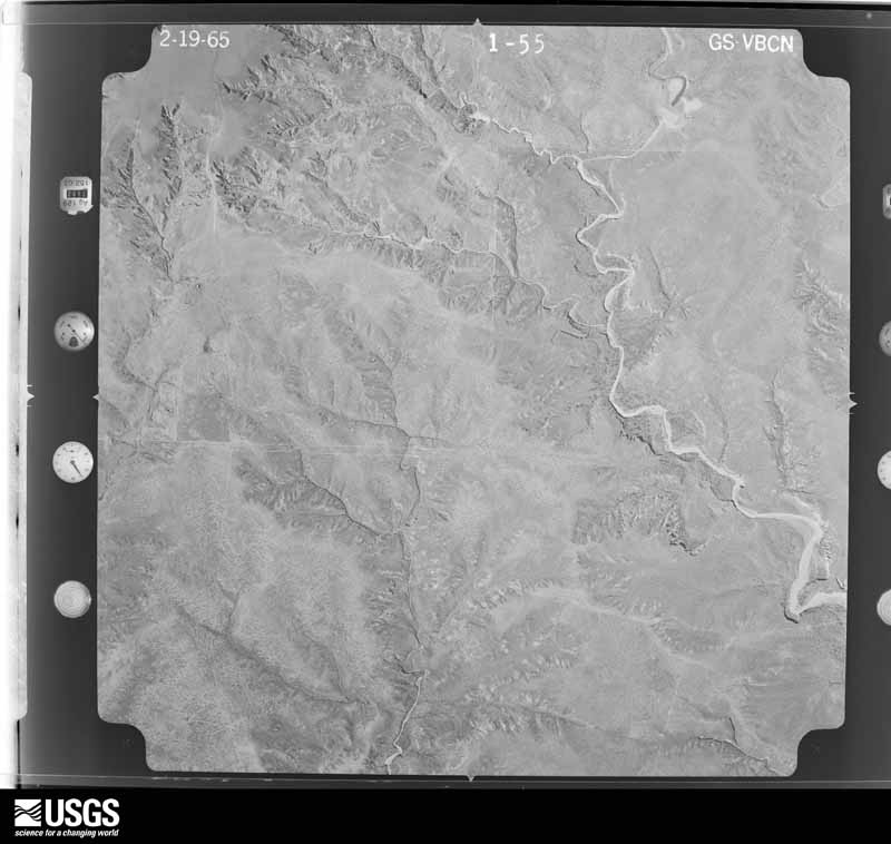
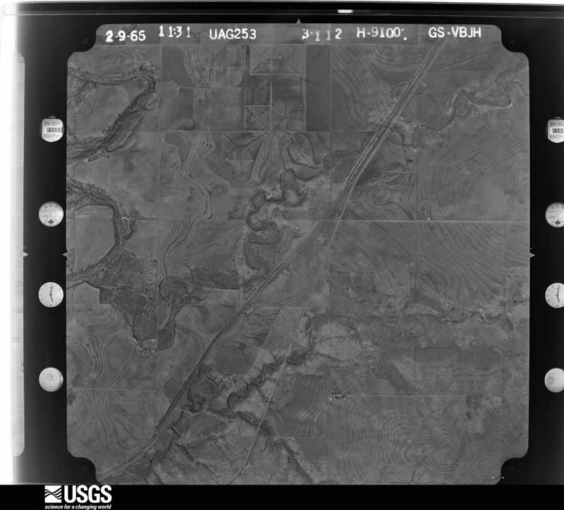
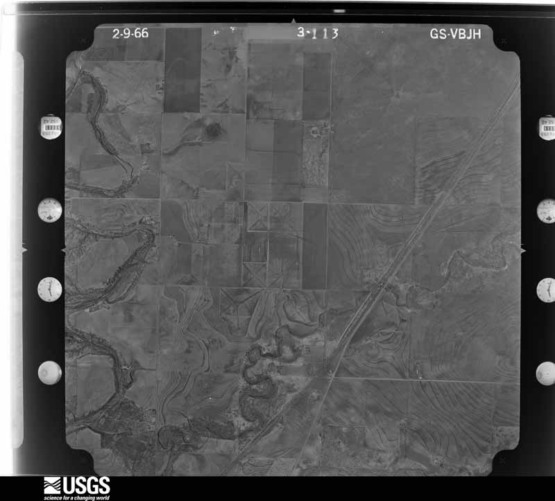
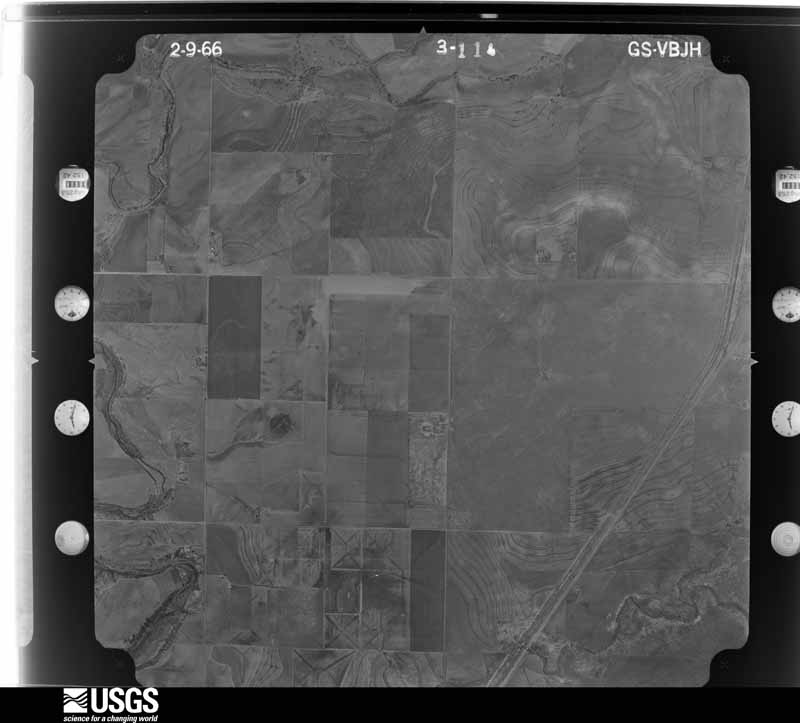
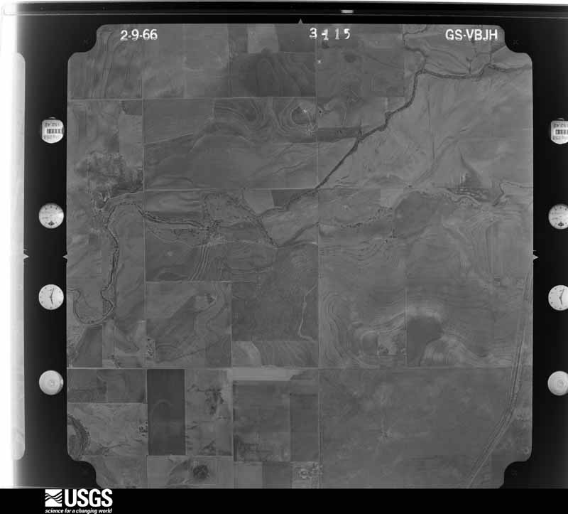
Flown by the U.S. Geological Survey between 1937 and 1989, the Aerial Photo Single Frames collection is the definitive mid-century view of the land: fields, roads and rivers as the camera saw them. The Survey holds 986 frames inside the rectangle that bounds this county; the 32 frames below were taken over the county itself, chosen across the decades of flights (at most four a year from that rectangle), so one flight cannot crowd out the rest. The full set is free to browse and download at EarthExplorer under the dataset Aerial Photo Single Frames.


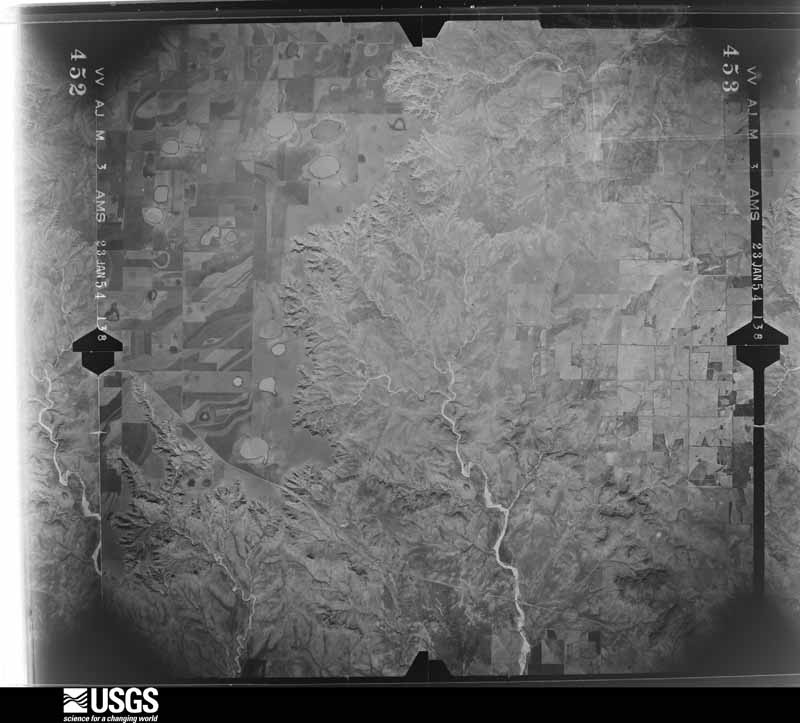
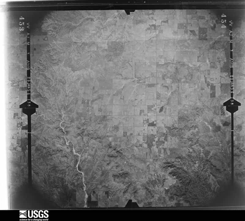
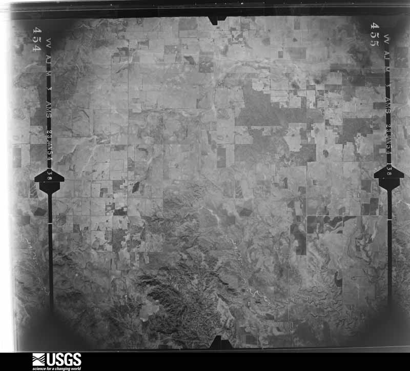
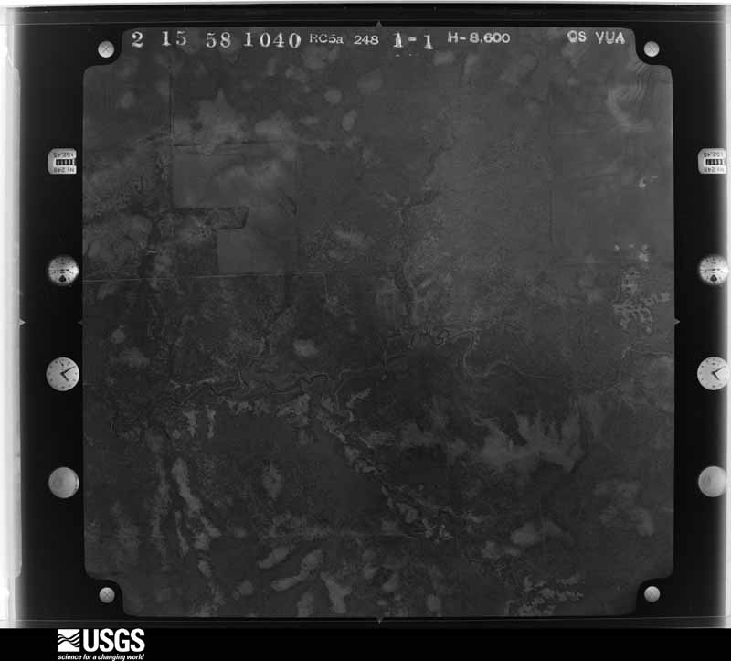







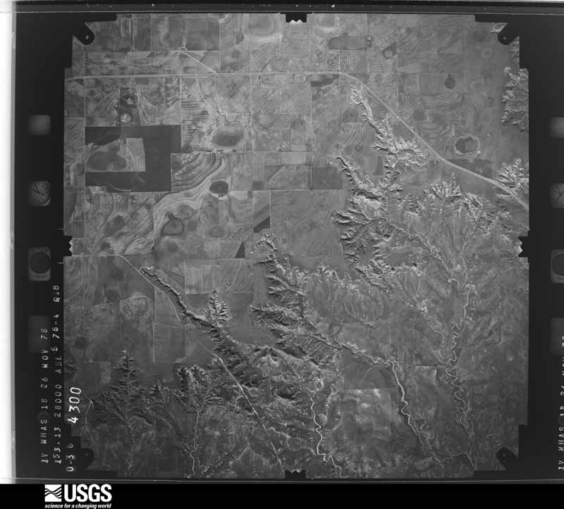
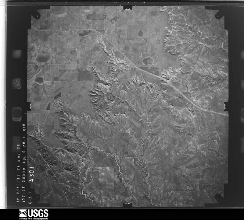
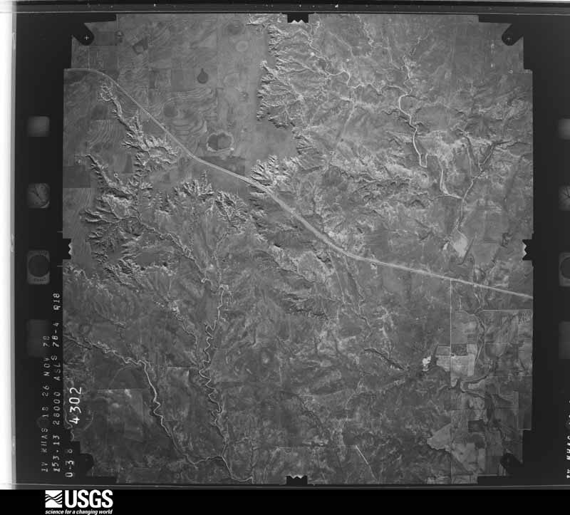
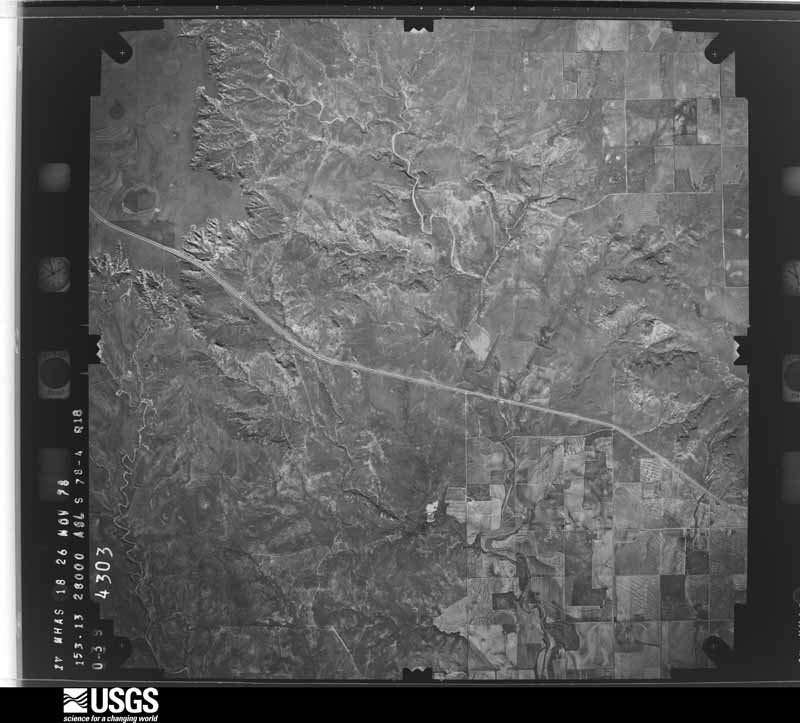
The thermometers that kept this county's weather, as the federal records hold them. The extremes below are measured values from those records, not estimates.
Who lived here in 1950, one enumeration district at a time, as the Census Bureau described each district. Each row opens its official National Archives result, with Population Schedules and ED Maps available there.
Every wildfire the federal occurrence database records inside this county: 204 of them, burning about 109,178 acres. 57 started naturally and none was recorded as arson. Each settlement page carries the fires within five miles of it.
| Reported cause | Fires |
|---|---|
| Natural | 57 |
| Equipment and vehicle use | 53 |
| Missing data/not specified/undetermined | 47 |
| Power generation/transmission/distribution | 24 |
| Debris and open burning | 19 |
| Smoking | 3 |
| Misuse of fire by a minor | 1 |
The five largest, by the area the report gives. None of them was recorded as arson.
| Date | Cause | Size | Reported by | Name on the report |
|---|---|---|---|---|
| 6 May 2011 | Missing data/not specified/undetermined | 89,200 acres | Texas A & M Forest Service | DICKENS COMPLEX |
| 29 June 2001 | Natural | 3,250 acres | Texas A & M Forest Service | WEST BRANCH - 9 |
| 8 April 2010 | Missing data/not specified/undetermined | 2,500 acres | Texas A & M Forest Service | EDWARDS |
| 13 April 2018 | Missing data/not specified/undetermined | 2,500 acres | Texas A & M Forest Service | RON JAMES |
| 8 August 2016 | Natural | 2,106 acres | Texas A & M Forest Service | CRONTON |
| 17 August 2019 | Natural | 1,641 acres | Texas A & M Forest Service | SPUR RANCH HEADQUARTERS |
| 14 August 2009 | Natural | 1,000 acres | Texas A & M Forest Service | P.K. RANCH FIRE |
| 16 April 2008 | Missing data/not specified/undetermined | 640 acres | Texas A & M Forest Service | not named |
Every settlement page carries the fires within five miles of it - see the settlement index below.
The NOAA Storm Events Database holds 339 reports for this county, causing no deaths, 2 injuries and about $1,796,110 in recorded property damage. Each settlement page carries the reports that name it.
| Kind of event | Reports |
|---|---|
| Hail | 200 |
| Thunderstorm Wind | 81 |
| Tornado | 44 |
| Flash Flood | 11 |
| Heavy Rain | 2 |
| Lightning | 1 |
The most serious of them, by death, then injury, then recorded damage. The accounts are quoted exactly as the forecast office filed them.
| When | Event | Place named | Harm | What the report says |
|---|---|---|---|---|
| July 2006 | Thunderstorm Wind | Spur | 2 hurt, $300,000 | A severe thunderstorm produced extreme winds and resulted in extensive damage in Spur around 19:30 CST on the 11th. Local officials and media reported that "dozens" of homes and businesses were damaged, and that one family was left homeless and treated for injuries.The Texas Spur newspaper reported that a mobile home was destroyed when the walls were "collapsed" by the winds. The family inside took shelter underneath a table inside the home, but two people present sustained injuries. The Spur Farmer's Co-Op Gin sustained extensive roof damage, and a gas pump canopy was blown a considerable distance downwind and caused secondary damage as the un-earthed skids accompanied the sailing debris. The roof of a church suffered severe damage, and a city-owned maintenance barn was destroyed. Additionally, City Hall experienced damage, and a pivot irrigation system was destroyed.Local officials and newspaper reports indicate that an automated weather station operated by a private utility company recorded a maximum wind gust of 91 mph at 19:24 CST. |
| June 2018 | Hail | Spur | $500,000 | Very large hail to baseball size pummeled the city of Spur this evening. The hail lasted for for several minutes and caused widespread damage to buildings, roofs, windows and vehicles. |
| April 2016 | Hail | Dickens | $150,000 | Golf ball size hail began falling in Dickens around 1717 CST and for the next 13 minutes proceeded to grow to tennis ball size resulting in extensive damage to cars. Many trees were stripped of their leaves and some homes would likely require new roofs. |
| May 2019 | Thunderstorm Wind | Spur | $100,000 | A Texas Tech University West Texas mesonet site near Spur recorded a wind gust to 80 mph. Furthermore, a swath of thunderstorm wind damage was observed near Spur to approximately six miles north of Spur. Fire department personnel in Spur reported 20 utility poles blown over along Farm to Market Road 1868 just northwest of Spur. Also, a roof was blown off of a house near the intersection of Texas Highway 70 and County Road 466. |
| March 2017 | Tornado (EF1) | Dickens | $75,000 | Meteorologists with NWS Lubbock and the Texas Tech University West Texas Mesonet conducted a storm damage survey in far east-central Dickens County during the morning of March 29. This team surveyed tornado damage at the Pitchfork Ranch located about 11 miles west of Guthrie, TX along U.S. Highway 82.||The most significant damage observed at the Pitchfork Ranch consisted of about 300 square feet of metal roofing removed from a well-constructed building. Many of the underlying support trusses to the roof were also separated from the building. Various trees were blown over and strewn about. A large twin gravity box was also toppled. The damage to the roof was consistent with maximum winds of around 100 miles per hour. Debris in the area revealed a convergent pattern indicative of a tornado, which was also supported by strong rotation in the area as observed by radar.||Available damage indicators surrounding the Pitchfork Ranch were very sparse and an accurate assessment of the duration and path of this EF-1 tornado was not feasible. |
| June 2003 | Lightning | Dickens | $75,000 | Lightning struck a home and caused a fire that burned it down. |
| June 2008 | Thunderstorm Wind | Afton | $60,000 | An intermittent swath of damaging winds, at times combined with large hail, accompanied a complex of thunderstorms from near Afton to Spur. A barn was destroyed near Patton Springs School east of Afton, where the public estimated gusts up to 60 mph at 19:43 CST. Downed utility lines resulted in electrical outages near that community. ||The Texas Tech University West Texas Mesonet additionally recorded a 60 mph thunderstorm wind gust at 20:35 CST near Spur. Minor damage was reported at the Spur Fire Station where a power line was blown down and several antennas were damaged. In addition, some shingles were reportedly blown off of homes in Spur. No injuries were reported. |
| April 2000 | Hail | Mc Adoo | $50,000 | A severe thunderstorm produced a four mile wide swath of quarter to golfball size hail from west of McAdoo to near Afton. The hail accumulated up to four inches deep on Farm-to-Market Road 193. |
| December 2018 | Tornado (EF0) | Afton | $30,000 | An emergency manager relayed a public report of three heavily damaged silos with minor property damage to other outdoor structures about 2 miles east-northeast of Afton. Since debris was cleaned up by the following morning, a storm survey was not possible. Once NWS personnel talked with the affected property owner who corroborated other reports of a tall funnel cloud around this time, it was deemed that a tornado was responsible for the damage. Despite no radar indication of mesocyclones with most of these non-supercell storms, other funnel clouds (and possible tornadoes) were documented on social media from similar storms later this afternoon. This tornado's event time was estimated from radar. |
| May 1999 | Hail | Dickens | $30,000 | no account filed |
| May 2010 | Thunderstorm Wind | Spur | $25,000 | The Texas Tech University West Texas Mesonet station at Dickens measured a wind gust to 61 mph. There were reports of numerous large trees blown over as well as utility poles snapped in Dickens. |
| June 2004 | Hail | Dickens | $25,000 | Dickens County Sheriff's Office reported golfball size hail. |
| June 2004 | Hail | Dickens | $25,000 | Dickens County Sheriff's Office reported golfball size hail. |
| April 2003 | Hail | Dickens | $25,000 | The Dickens County Sheriff's Office reported golfball size hail. |
| May 2001 | Hail | Mc Adoo | $25,000 | Law enforcement officials reported golfball size hail. |
| June 1989 | Tornado (F3) | not stated | $25,000 | no account filed |
| April 2003 | Thunderstorm Wind | Spur | $20,000 | Strong thunderstorm wind caused severe damage to the roof of a church. |
| April 2000 | Hail | Afton | $20,000 | no account filed |
| April 1997 | Tornado (F0) | Afton | $20,000 | no account filed |
| May 1995 | Hail | Spur | $20,000 | no account filed |
| May 2013 | Hail | Mc Adoo | $15,000 | A fire department official reported hail to the size of golf balls in McAdoo. Large hail also damaged a fuel tank which spilled about 4000 gallons of gasoline. |
| April 2003 | Hail | Afton | $15,000 | The Dickens County Sheriff's Office reported golfball size hail. |
| August 2002 | Thunderstorm Wind | Spur | $15,000 | Thunderstorm winds blew power lines down and the roof off of a house in Spur. |
| April 2000 | Hail | Afton | $15,000 | no account filed |
| June 1997 | Thunderstorm Wind | Spur | $15,000 | no account filed |
| June 2003 | Thunderstorm Wind | Mc Adoo | $10,000 | Strong thunderstorm wind blew down power lines and large tree limbs. |
| June 2003 | Thunderstorm Wind | Mc Adoo | $10,000 | Strong thunderstorm wind blew down power lines and large tree limbs. |
| April 2000 | Hail | Spur | $10,000 | no account filed |
| June 1997 | Thunderstorm Wind | Dickens | $10,000 | no account filed |
| May 1996 | Tornado (F1) | Mc Adoo | $10,000 | no account filed |
| June 1995 | Hail | Dickens | $10,000 | no account filed |
| September 2017 | Thunderstorm Wind | Mc Adoo | $5,000 | The Floyd County Emergency Manager relayed a report from a fire department member in McAdoo who lost a corner of their home's roof during intense straight line winds. |
| May 2016 | Thunderstorm Wind | Dickens | $5,000 | A significant high precipitation supercell crossed U.S. Highway 82 accompanied by a swath of destructive rear flank downdraft winds estimated as high as 80 mph. Law enforcement reported that several trees were blown across the highway. The Pitchfork Ranch also reported some trees were snapped in addition to one power pole broken about three miles west of their headquarters. |
| May 2013 | Thunderstorm Wind | Spur | $5,000 | A roof was partially blown off a home about one mile east of Spur. The cause was determined to be an intense downburst wrapping around a mesocyclone passing east of the house. These destructive straight-line winds would continue southeast into northeastern Kent County and cause scattered to widespread wind damage. |
| May 2008 | Hail | Spur | $5,000 | Golf ball size hail reportedly broke windows at a farm house east of Spur. No injuries were reported. |
| May 1995 | Thunderstorm Wind | Afton | $5,000 | Severe storms battered the Texas South Plains on the evening of the 15th. Up to golf ball-size hail caused some crop damage and minor property damage. However, strong winds caused most of the damage. Trees were uprooted and roofs were damaged near Hale Center and Brownfield. Spotters reported a brief tornado east of Flomot. In Petersburg, two barns and several roofs were damaged, plus trees were uprooted and windows shattered by strong wind. Sheds were damaged east of Afton and Dickens. |
| May 1995 | Thunderstorm Wind | Dickens | $5,000 | Severe storms battered the Texas South Plains on the evening of the 15th. Up to golf ball-size hail caused some crop damage and minor property damage. However, strong winds caused most of the damage. Trees were uprooted and roofs were damaged near Hale Center and Brownfield. Spotters reported a brief tornado east of Flomot. In Petersburg, two barns and several roofs were damaged, plus trees were uprooted and windows shattered by strong wind. Sheds were damaged east of Afton and Dickens. |
| December 1993 | Thunderstorm Wind | Dickens | $5,000 | A line of thunderstorms formed near the Texas-New Mexico border and swept eastward across the South Plains and part of the Permian Basin. Tree limbs, large trees, sheds and power poles were knocked over and damaged in towns across the region. Severe thunderstorm winds also blew out automobile and home windows, damaged roofs and knocked down fences in many areas. Dozens of power poles were knocked over in Lamb County. Hale County was also hit particularly hard, with wind damage throughout the city of Plainview. Also, a large cotton gin/warehouse collapsed in Cotton Center. Lightning struck a two story farm house five miles east of Plainview; fire totally destroyed the house. |
| May 1995 | Hail | Spur | $5,000 | no account filed |
| May 1995 | Hail | Dickens | $5,000 | no account filed |
| October 1994 | Hail | Dickens | $5,000 | no account filed |
| April 1976 | Tornado (F1) | not stated | $2,500 | no account filed |
| May 2000 | Thunderstorm Wind | Dickens | $2,000 | Strong thunderstorm wind blew the tin roof off a barn, blew down power lines, and uprooted trees. |
| May 1999 | Tornado (F0) | Dickens | $2,000 | A brief tornado damaged fences and caused other minor damage at the Dickens Correctional Facility. |
| July 1996 | Thunderstorm Wind | Afton | $1,000 | no account filed |
| April 2016 | Thunderstorm Wind | Spur | $500 | Measured by a Texas Tech University West Texas mesonet. This same wind gust collapsed an old outbuilding on the northwest side of Spur. |
| May 2016 | Thunderstorm Wind | Afton | $500 | A CO-OP observer reported that her small greenhouse was blown off the property and never located. |
| April 1993 | Hail | Dickens | $500 | Golf ball-size hail was reported in Dickens by the Dickens County Sheriff's Office, and in northeastern Dickens County by the public. No significant damage was reported. |
| May 1993 | Hail | Spur | $500 | The Spur Police Department reported golf ball-size hail in Spur. No significant damage resulted. |
| May 1993 | Hail | Dumont | $500 | no account filed |
| March 1980 | Tornado (F1) | not stated | $250 | no account filed |
| December 1980 | Tornado (F0) | not stated | $250 | no account filed |
| April 1976 | Tornado (F1) | not stated | $250 | no account filed |
| May 1993 | Hail | Spur | $50 | The Dickens County Sheriff's Office reported golf ball-size hail just west of Dickens and dime-size hail in Spur. The heavy rainfall from the storms resulted in flooding of highways and roads in central Dickens County. Only minor damage was noted. |
| May 1993 | Hail | Dickens | $50 | The Dickens County Sheriff's Office reported golf ball-size hail just west of Dickens and dime-size hail in Spur. The heavy rainfall from the storms resulted in flooding of highways and roads in central Dickens County. Only minor damage was noted. |
| April 1993 | Hail | Dumont | $50 | Golf ball-size hail was reported in Dickens by the Dickens County Sheriff's Office, and in northeastern Dickens County by the public. No significant damage was reported. |
| May 1982 | Tornado (F0) | not stated | $30 | no account filed |
| May 1982 | Tornado (F0) | not stated | $30 | no account filed |
| May 1982 | Tornado (F0) | not stated | $30 | no account filed |
| March 1980 | Tornado (F1) | not stated | $30 | no account filed |
Named settlements recorded in the Geographic Names Information System, each with the topographic sheets covering it. Villages, hamlets and abandoned places alike. Each is shown with the nearest named watercourse or landform and the survey quadrangle it falls on.
Dickens census division · 79229 · Near Mackenzie Peak · Dickens South quadrangle
8 sheets, 1954 to 1985
Dickens census division · 79220 · On Washout Creek · East Afton quadrangle
8 sheets, 1954 to 1985
Spur census division · 79370 · Dickens South quadrangle
8 sheets, 1954 to 1985
No longer a settlement
Spur census division · 79370 · Near Steele Hills · Spur quadrangle
6 sheets, 1954 to 1985
The vanished settlements of Dickens County: the places named above that are no longer on the map.