 Block
BlockAfton, Texas
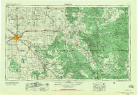
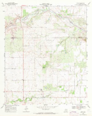
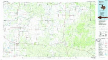
7 topographic sheets cover this place, the earliest surveyed in 1954 and the latest in 1985. It stands in the Dickens census division. It lies in ZIP code area 79220. The Survey maps it on the Afton quadrangle. It stands 2,536 feet above sea level.
Topographic sheets covering this place
3 surveys from 7 printed sheetsMatched by testing this settlement's coordinate against the published boundary of every sheet in the United States Geological Survey's historical collection. Each opens the scanned sheet at the Survey.
- 1954 USGS Lubbock quadrangle1:250000, 4 printings
- 1968 USGS Afton quadrangle1:24000
- 1985 USGS Dickens quadrangle1:100000, 2 printings
Fires near this place
27 since 2006Regional context, not property-specific evidence. The federal wildfire occurrence database lists 27 fires within 5 miles of Afton between 2006 and 2020, burning about 4,113 acres in total. 7 started naturally. None was recorded as arson. Distance is straight-line from the map coordinates, so a fire counted here may appear on a neighbouring settlement's page as well.
| Reported cause | Fires |
|---|---|
| Missing data/not specified/undetermined | 9 |
| Natural | 7 |
| Power generation/transmission/distribution | 5 |
| Equipment and vehicle use | 3 |
| Debris and open burning | 3 |
The most recent of them, most recent first, with the day each was reported and the service that recorded it.
| Date | Cause | Size | Reported by | Name on the report |
|---|---|---|---|---|
| 28 September 2011 | Equipment and vehicle use | 50 acres | Texas A & M Forest Service | CR 202 |
| 25 September 2020 | Missing data/not specified/undetermined | under an acre | Texas A & M Forest Service | STAFFORD RANCH |
| 25 September 2012 | Natural | 1.0 acres | Texas A & M Forest Service | KERR |
| 20 September 2010 | Missing data/not specified/undetermined | 100 acres | Texas A & M Forest Service | HWY 70 CR 212 GRASS FIRE |
| 12 September 2011 | Equipment and vehicle use | 20 acres | Texas A & M Forest Service | AFTON |
| 7 August 2010 | Debris and open burning | 1.0 acres | Texas A & M Forest Service | DICKENS |
| 3 July 2011 | Natural | 20 acres | Texas A & M Forest Service | COOPER STORE FIRE |
| 29 July 2011 | Natural | 15 acres | Texas A & M Forest Service | CAVE |
Settlements close enough to share some of these fires:
Storms near this place
34 since 1994Regional context, not property-specific evidence. The National Weather Service names Afton in 34 storm reports between 1994 and 2025: 23 hail, 7 tornado, 4 thunderstorm wind. No death or injury is recorded in these reports. Each account below is quoted exactly as the forecast office filed it, from the NOAA Storm Events Database, and each date opens the federal record of that event.
| When | Event | Place named | Harm | What the report says |
|---|---|---|---|---|
| June 2008 | Thunderstorm Wind | Afton | $60,000 | An intermittent swath of damaging winds, at times combined with large hail, accompanied a complex of thunderstorms from near Afton to Spur. A barn was destroyed near Patton Springs School east of Afton, where the public estimated gusts up to 60 mph at 19:43 CST. Downed utility lines resulted in electrical outages near that community. ||The Texas Tech University West Texas Mesonet additionally recorded a 60 mph thunderstorm wind gust at 20:35 CST near Spur. Minor damage was reported at the Spur Fire Station where a power line was blown down and several antennas were damaged. In addition, some shingles were reportedly blown off of homes in Spur. No injuries were reported. |
| December 2018 | Tornado (EF0) | Afton | $30,000 | An emergency manager relayed a public report of three heavily damaged silos with minor property damage to other outdoor structures about 2 miles east-northeast of Afton. Since debris was cleaned up by the following morning, a storm survey was not possible. Once NWS personnel talked with the affected property owner who corroborated other reports of a tall funnel cloud around this time, it was deemed that a tornado was responsible for the damage. Despite no radar indication of mesocyclones with most of these non-supercell storms, other funnel clouds (and possible tornadoes) were documented on social media from similar storms later this afternoon. This tornado's event time was estimated from radar. |
| April 2000 | Hail | Afton | $20,000 | no account filed |
| April 1997 | Tornado (F0) | Afton | $20,000 | no account filed |
| April 2003 | Hail | Afton | $15,000 | The Dickens County Sheriff's Office reported golfball size hail. |
| April 2000 | Hail | Afton | $15,000 | no account filed |
| May 1995 | Thunderstorm Wind | Afton | $5,000 | Severe storms battered the Texas South Plains on the evening of the 15th. Up to golf ball-size hail caused some crop damage and minor property damage. However, strong winds caused most of the damage. Trees were uprooted and roofs were damaged near Hale Center and Brownfield. Spotters reported a brief tornado east of Flomot. In Petersburg, two barns and several roofs were damaged, plus trees were uprooted and windows shattered by strong wind. Sheds were damaged east of Afton and Dickens. |
| July 1996 | Thunderstorm Wind | Afton | $1,000 | no account filed |
| May 2016 | Thunderstorm Wind | Afton | $500 | A CO-OP observer reported that her small greenhouse was blown off the property and never located. |
| May 2025 | Tornado (EFU) | Afton | - | A storm chaser posted a photograph on social media of a brief tornado over open ranch land. |
| May 2025 | Hail | Afton | - | A storm chaser reported quarter size hail near Dumont. |
| June 2023 | Tornado (EFU) | Afton | - | The third of several tornadoes occurred in northern Dickens County. An off-duty NWS employee relayed photos of a tornado over open country. No known damage occurred. |
| May 2022 | Hail | Afton | - | Several reports were received of hail up to tennis ball size in and around Afton. No damage was reported. |
| May 2022 | Tornado (EFU) | Afton | - | Multiple chaser reports were received, including a video of a small tornado, in far northeastern Dickens County. An NWS storm survey revealed no known damage. |
| March 2017 | Tornado (EFU) | Afton | - | Storm chasers observed a tornado develop north of U.S. Highway 82 in far eastern Dickens County. This tornado produced no known damage as it remained over open land. |
| April 2016 | Tornado (EF0) | Afton | - | The third and final tornado from a cyclic tornadic supercell occurred for about one minute over open land in northeast Dickens County. No damage survey was conducted as the tornado remained over undeveloped land. |
| May 2013 | Hail | Afton | - | A trained spotter estimated quarter size hail three miles east of Afton. No reports of damage were received. |
| May 2013 | Hail | Afton | - | Law enforcement personnel estimated golf ball size hail in Afton and also five miles north of Dickens. Damage from the hail was not known. |
| April 2010 | Hail | Afton | - | Storm chasers reported very large tennis ball size hail along Farm to Market Road 193 in northeastern Dickens County. The hail was associated with a persistent supercell thunderstorm that developed near Dickens and moved northeastward over rural portions of Dickens County for nearly two hours. No damages were reported. |
| April 2009 | Hail | Afton | - | Multiple reports of large hail up to the size of golfballs, and occasionally larger, were received from local law enforcement officials northeast of Dickens shortly after 19:00 CST. This occurred as a newly developed supercell thunderstorm impacted central Dickens County. |
| May 2008 | Hail | Afton | - | The Motley County Fire Department continued to report large hail up to the size of golf balls as a severe thunderstorm tracked southeastward into northern Dickens County. At 16:02 CST, golf ball size hail was reported near Texas Highway 70 near the community of Glenn. Large hail continued along a swath southeastward as storms expanded and moved southeastward over northeastern Dickens County. Farmers reported that hail up to the size of quarters covered the ground east of Dickens, north of U.S. Highway 62/82. |
| June 2008 | Hail | Afton | - | Local fire department officials reported wind-blown nickel size hail in Afton. No damages were reported. |
| May 2024 | Hail | Afton | - | no account filed |
| May 2019 | Hail | Afton | - | no account filed |
| July 2005 | Hail | Afton | - | no account filed |
| September 2005 | Hail | Afton | - | no account filed |
| September 2005 | Hail | Afton | - | no account filed |
| June 2004 | Hail | Afton | - | no account filed |
| April 2003 | Hail | Afton | - | no account filed |
| April 2000 | Hail | Afton | - | no account filed |
| April 1999 | Hail | Afton | - | no account filed |
| May 1999 | Hail | Afton | - | no account filed |
| June 1996 | Hail | Afton | - | no account filed |
| April 1994 | Hail | Afton | - | no account filed |
Nearest settlements
The eight closest, with where each one stands in the county. Distances are straight-line, computed from the Geographic Names Information System coordinates.
| Map | Place | Distance | Sheets |
|---|---|---|---|
| Glenn | 2.0 miles | 7 | |
| East Afton | 4.0 miles | 8 | |
| Elton | 4.2 miles | 8 | |
| Croton | 7.0 miles | 8 | |
| Dickens | 9.8 miles | 8 | |
| McAdoo | 10.2 miles | 7 | |
| Soldiers Mound (historical) | 16.6 miles | 8 | |
| Spur | 19.9 miles | 6 |
Elsewhere
Matched on this settlement's Geographic Names Information System number rather than its name, so it cannot be a different place of the same name in another state.
| Wikipedia article on Afton | An encyclopaedic summary. Its text is share-alike, so it is linked here rather than copied. |
| Wikidata item Q4690825 | The structured record the population and elevation above come from. Public domain (CC0). |
Provenance
This settlement is recorded in the Geographic Names Information System as feature 1350902. The sheet list is computed by point-in-boundary test against the United States Geological Survey's historical topographic inventory. Both are works of the United States government and carry no copyright under 17 U.S.C. 105.
Wildfire. Short, Karen C. 2022. Spatial wildfire occurrence data for the United States, 1992-2020 [FPA_FOD_20221014]. 6th Edition. Fort Collins, CO: Forest Service Research Data Archive. https://doi.org/10.2737/RDS-2013-0009.6 Collected with United States Government funding and usable without additional permissions or fees.
Storms. NOAA National Centers for Environmental Information, Storm Events Database https://www.ncei.noaa.gov/stormevents/ A work of the United States government, no copyright under 17 U.S.C. 105. Narratives are quoted verbatim from the National Weather Service report and are not edited or summarised.