 Block
BlockFrom the record
10 National Register listings published here, 1 of them a National Historic Landmark.
Sources: the National Register database, National Park Service
44 topographic sheets cover 73 settlements here, and 10 properties are on the National Register of Historic Places.
10 National Register listings published here, 1 of them a National Historic Landmark.
Sources: the National Register database, National Park Service
Every property in this county listed on the National Register of Historic Places, with the year it was listed and the federal nomination document.
| Photograph | Property | Type | Listed | Reference |
|---|---|---|---|---|
| Bonham VA Hospital | district | 2022 | 100008265 | |
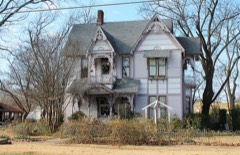 | Clendenen-Carleton House | building | 1979 | 79002937 |
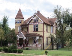 | Haden House | building | 1980 | 80004118 |
| Lake Fannin Organizational Camp | district | 2001 | 01000611 | |
 | Sam Rayburn Library and Museum | building | 2005 | 05000386 |
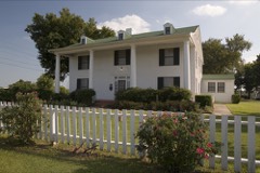 | Samuel T. Rayburn House | building | 1972 | 72001361 |
 | State Highway 78 Bridge at the Red River | structure | 1996 | 96001517 |
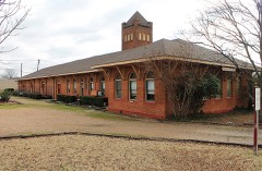 | Texas and Pacific Railroad Depot | building | 1997 | 96001564 |
 | Thomas and Katherine Trout House | building | 1984 | 84001664 |
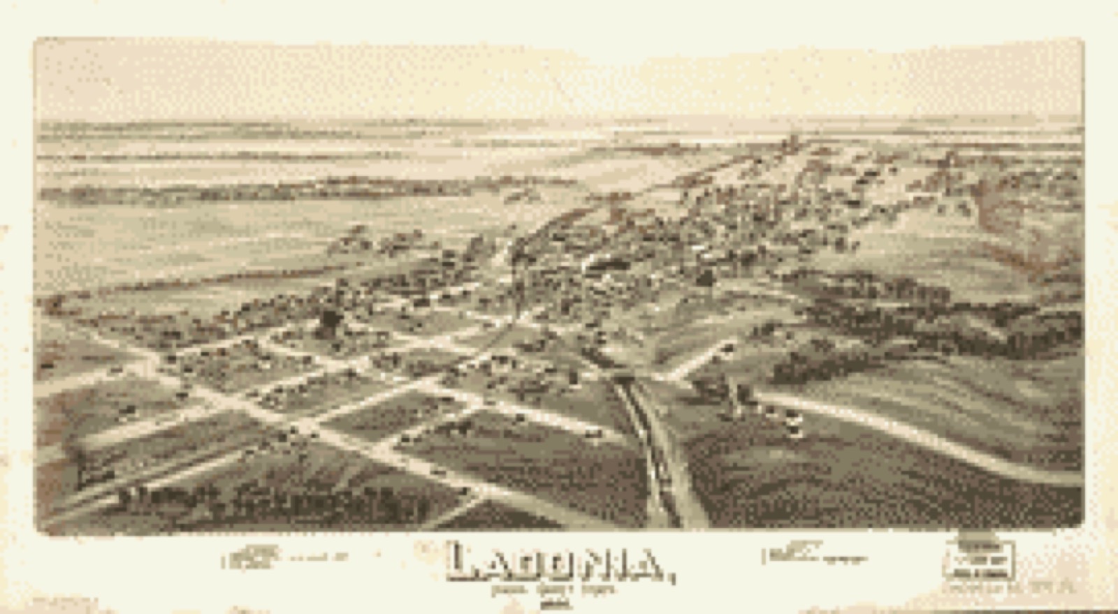
Drawn when these were printed as single large sheets: the town seen from the air, and the county divided into its farms with every owner named. Each opens the original at the Library of Congress.



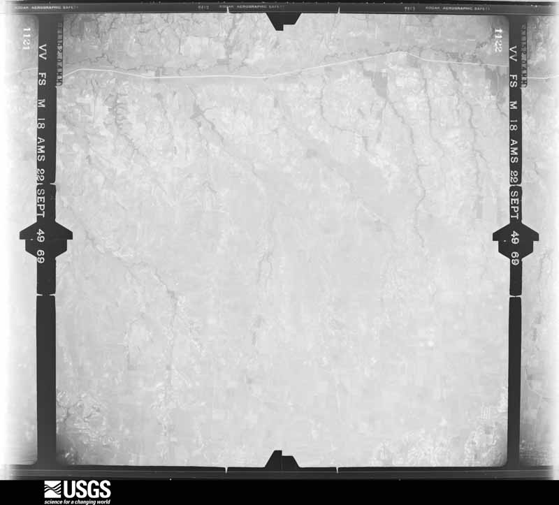
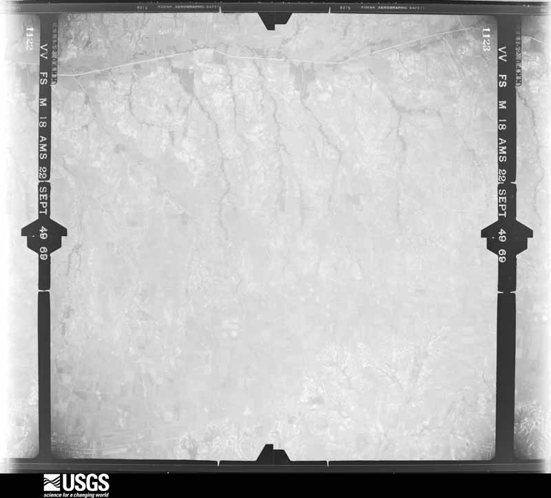
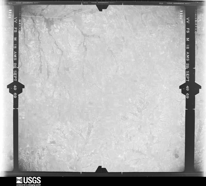
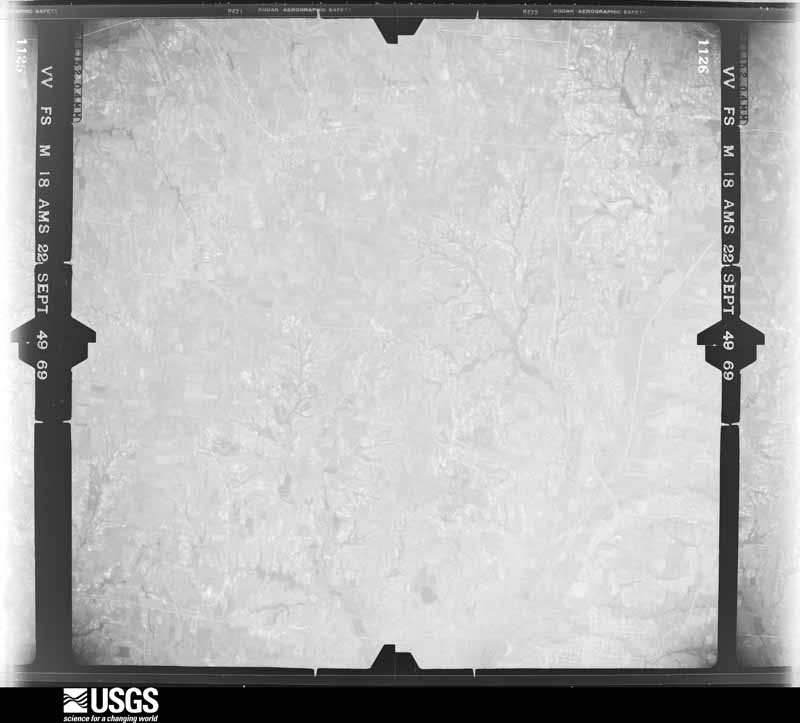
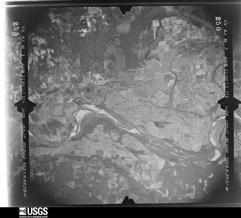
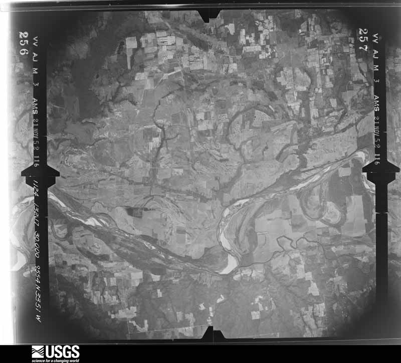
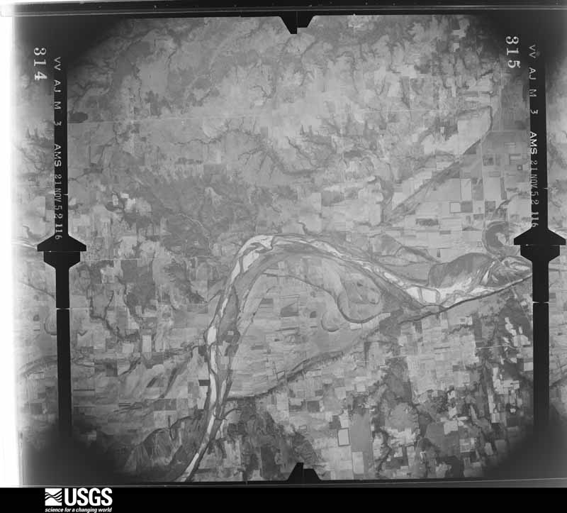
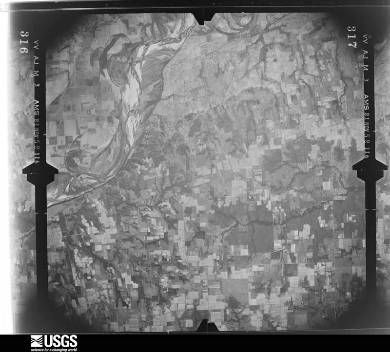
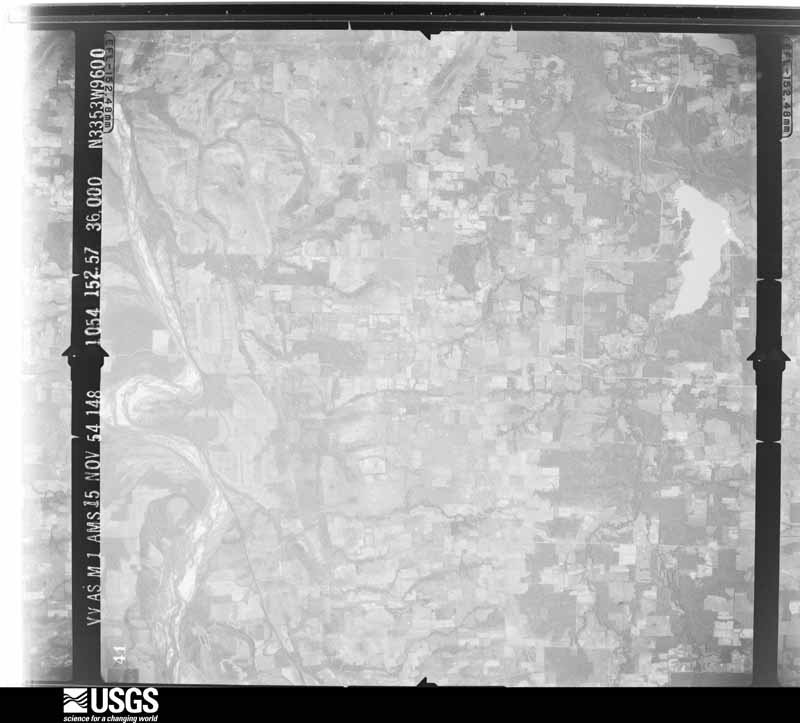
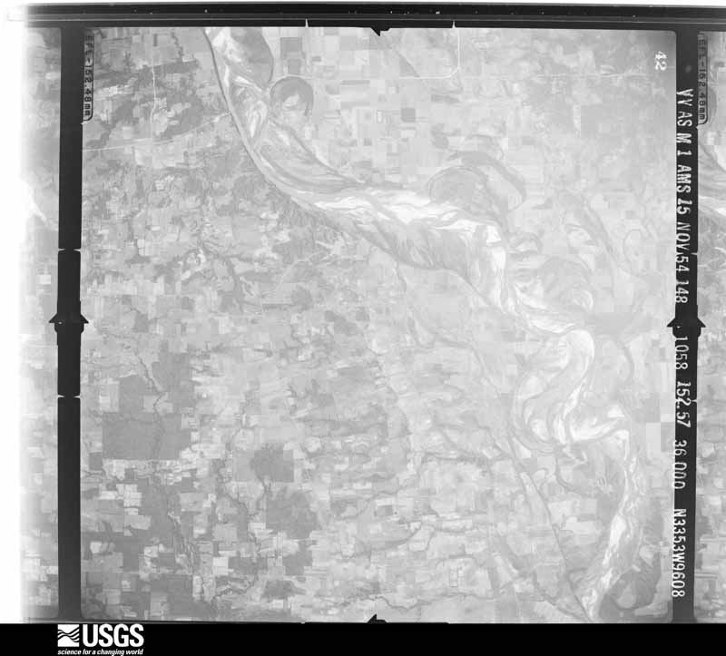
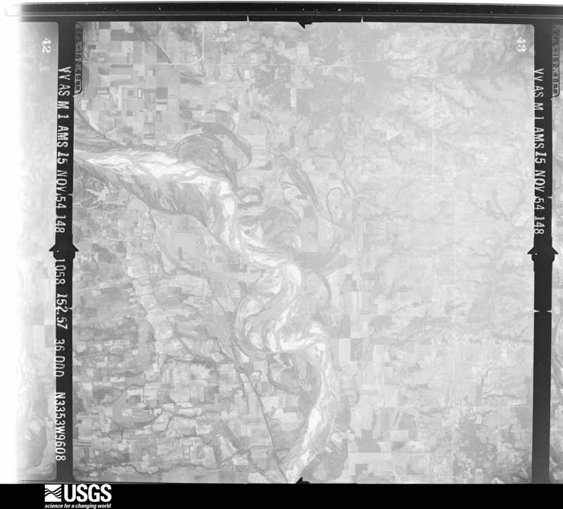
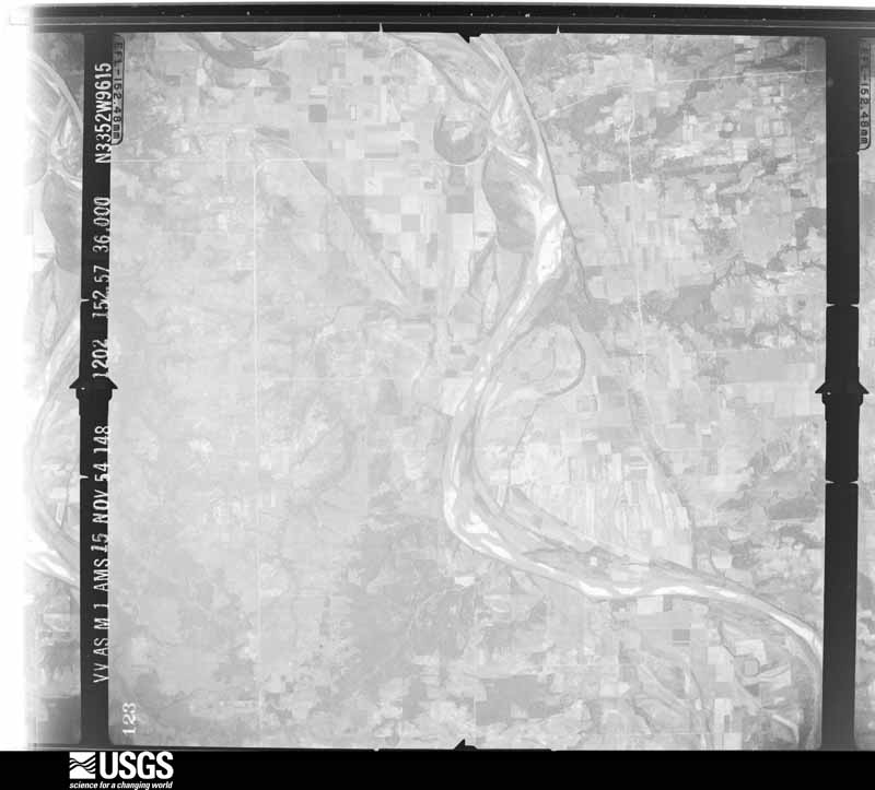
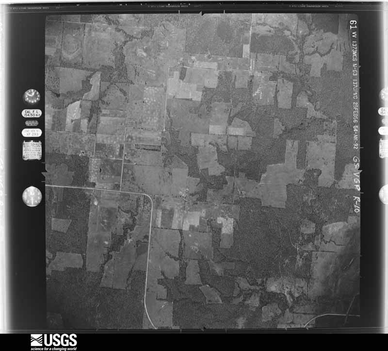
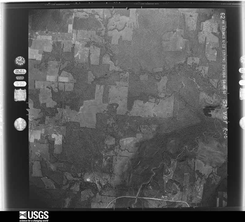
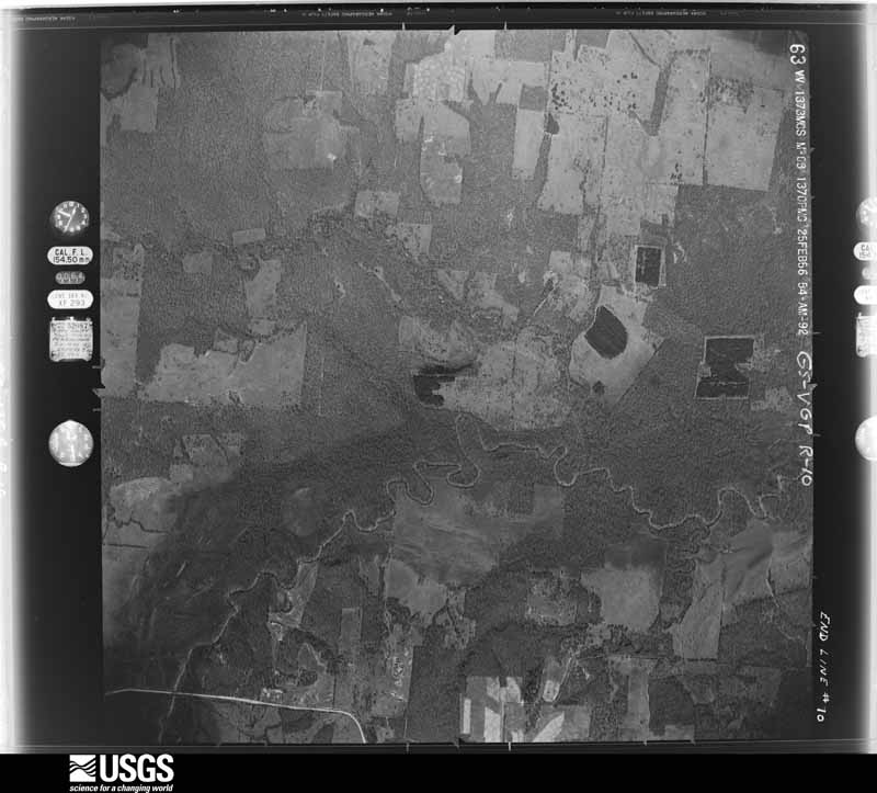
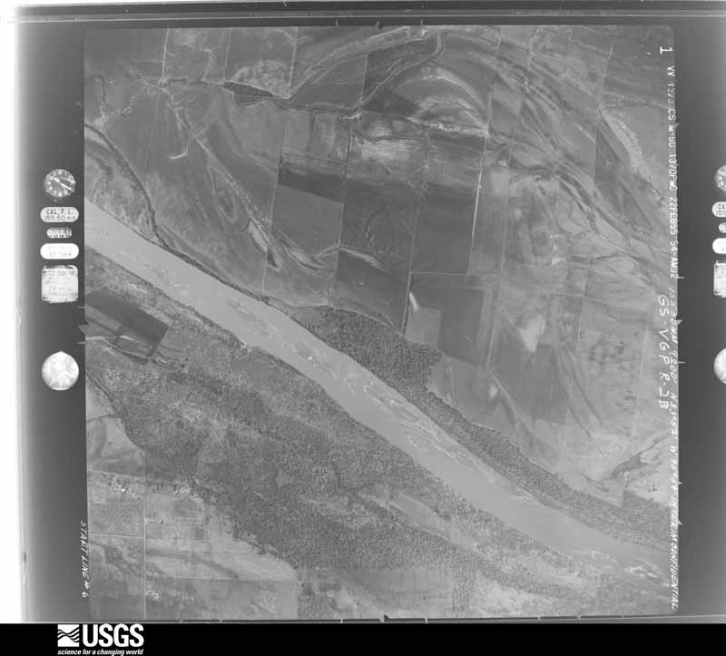
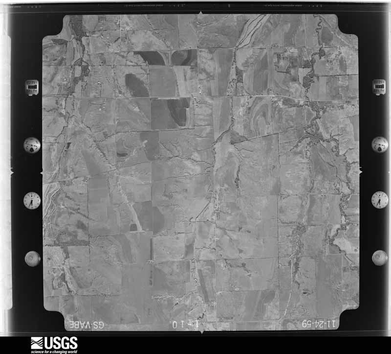
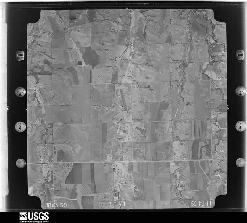
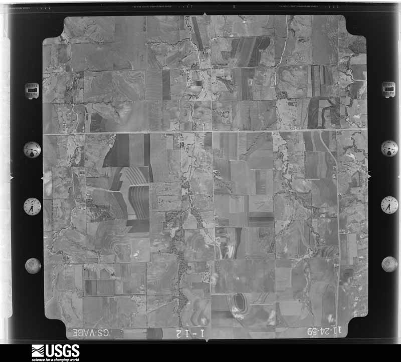
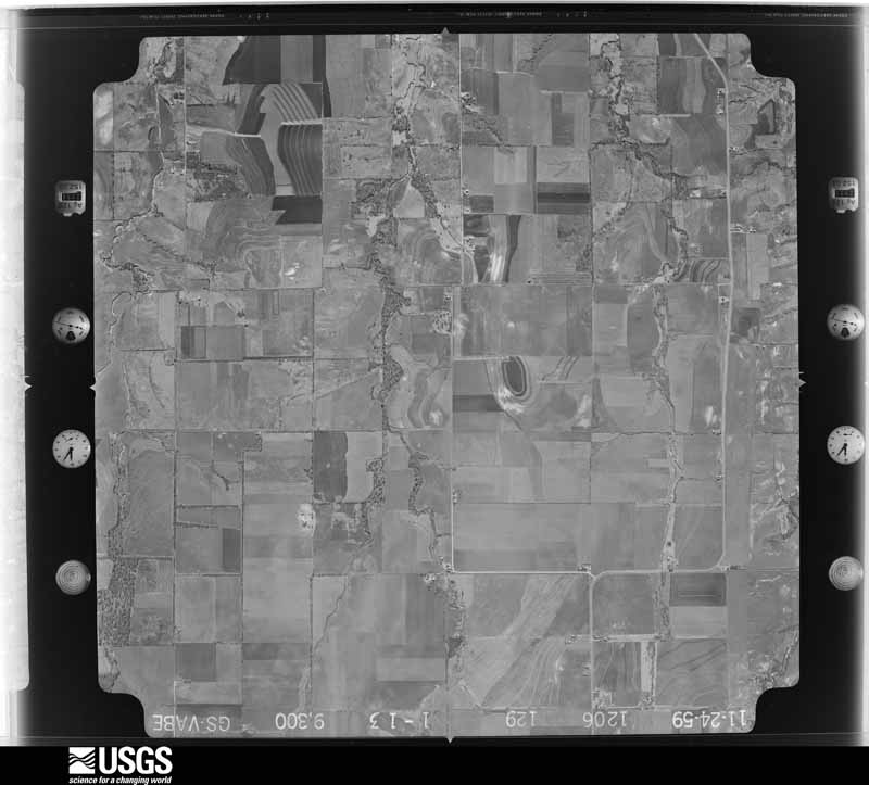
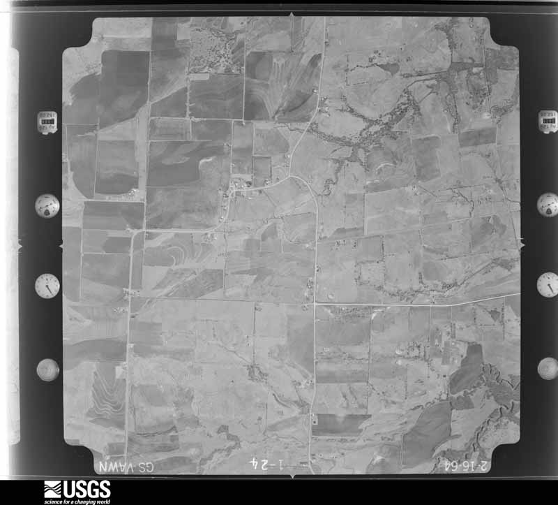
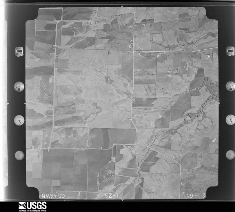
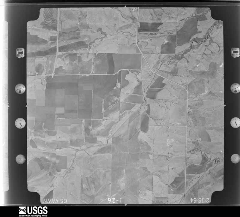
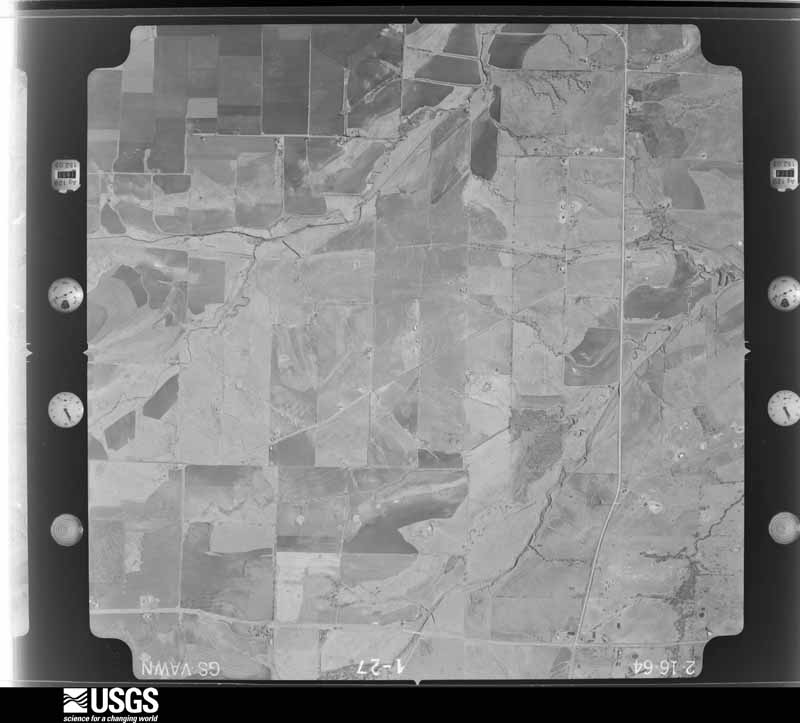
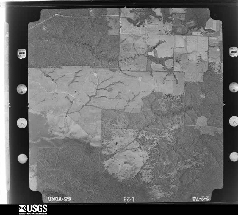
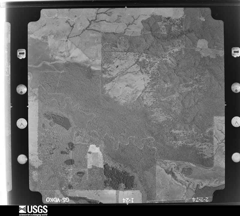
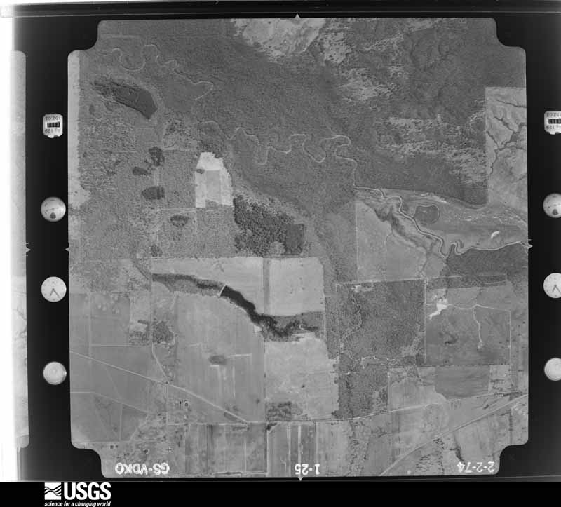
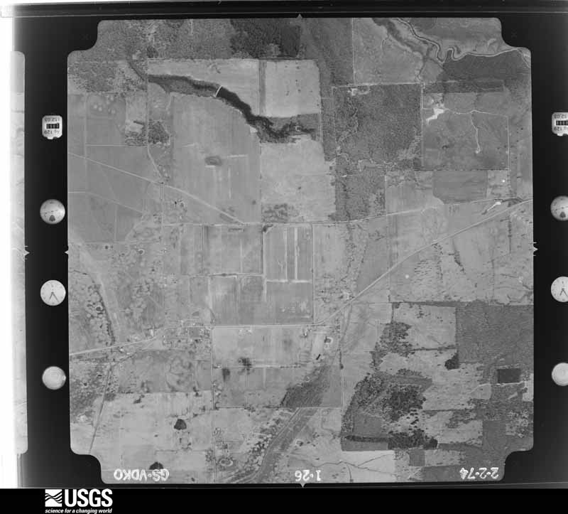
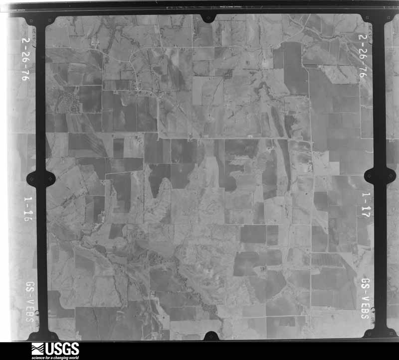
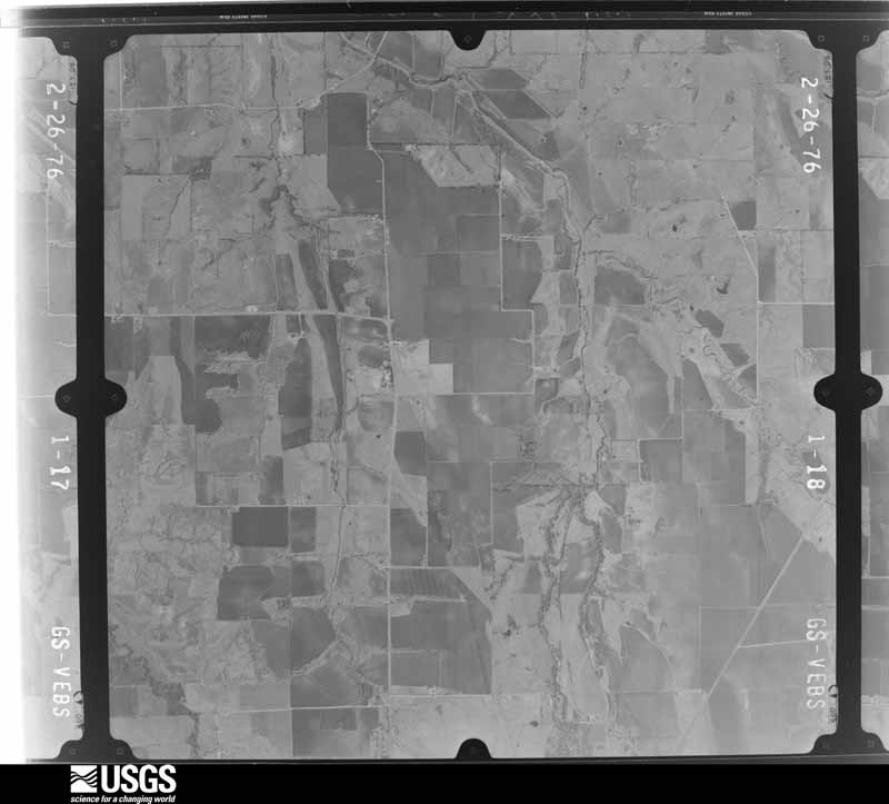
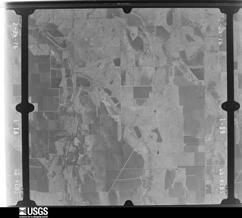
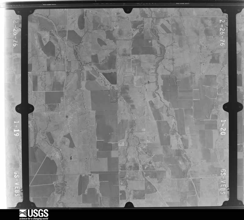
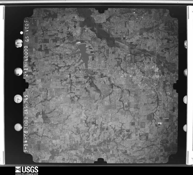
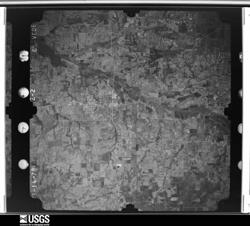
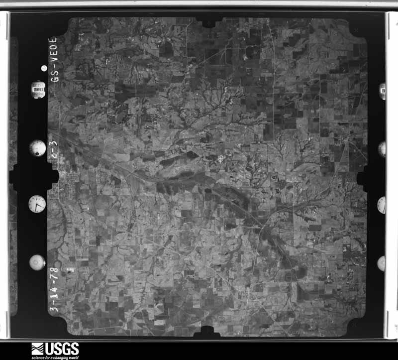
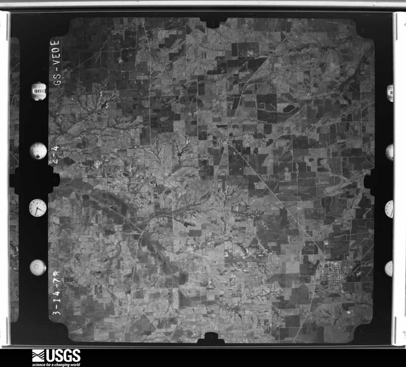
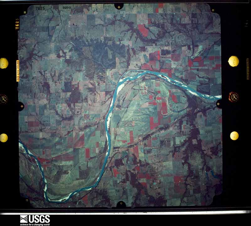
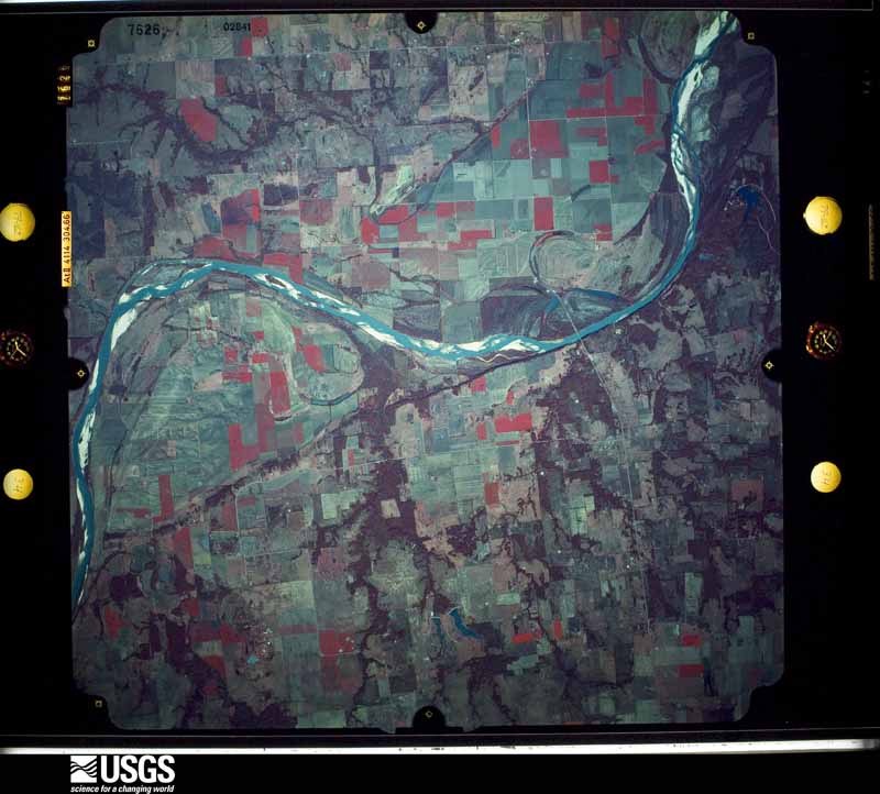
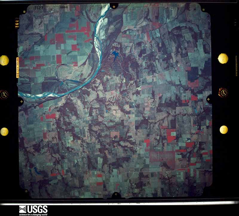
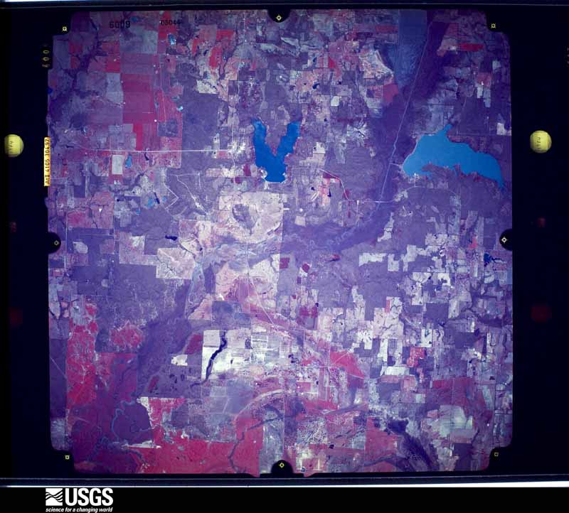
Flown by the U.S. Geological Survey between 1937 and 1989, the Aerial Photo Single Frames collection is the definitive mid-century view of the land: fields, roads and rivers as the camera saw them. The Survey holds 1,492 frames inside the rectangle that bounds this county; the 47 frames below were taken over the county itself, chosen across the decades of flights (at most four a year from that rectangle), so one flight cannot crowd out the rest. The full set is free to browse and download at EarthExplorer under the dataset Aerial Photo Single Frames.







The thermometers that kept this county's weather, and the gages that measured the flow of its streams, as the federal records hold them. The extremes below are measured values from those records, not estimates.
Who lived here in 1950, one enumeration district at a time, as the Census Bureau described each district. Each row opens its official National Archives result, with Population Schedules and ED Maps available there.
Every wildfire the federal occurrence database records inside this county: 1,326 of them, burning about 16,479 acres. 20 started naturally and 62 were recorded as arson. Each settlement page carries the fires within five miles of it.
| Reported cause | Fires |
|---|---|
| Debris and open burning | 649 |
| Missing data/not specified/undetermined | 320 |
| Equipment and vehicle use | 218 |
| Arson/incendiarism | 62 |
| Power generation/transmission/distribution | 28 |
| Natural | 20 |
| Smoking | 17 |
| Recreation and ceremony | 7 |
| Misuse of fire by a minor | 3 |
| Fireworks | 1 |
| Other causes | 1 |
The five largest, by the area the report gives. One of them was set deliberately.
| Date | Cause | Size | Reported by | Name on the report |
|---|---|---|---|---|
| 27 December 2005 | Missing data/not specified/undetermined | 2,000 acres | Texas A & M Forest Service | not named |
| 27 December 2005 | Arson/incendiarism | 1,000 acres | Texas A & M Forest Service | not named |
| 18 November 2019 | Debris and open burning | 200 acres | Texas A & M Forest Service | 8220 FM 68 |
| 16 October 2005 | Debris and open burning | 186 acres | Texas A & M Forest Service | not named |
| 1 September 2013 | Natural | 182 acres | Texas A & M Forest Service | LEWIS FIRE |
| 18 January 2018 | Debris and open burning | 181 acres | Texas A & M Forest Service | GRASS FIRE 1550 |
| 6 March 2006 | Debris and open burning | 160 acres | Texas A & M Forest Service | IVANHOE COMPLEX |
| 21 July 2011 | Missing data/not specified/undetermined | 157 acres | Texas A & M Forest Service | PALMORE FIRE |
Every settlement page carries the fires within five miles of it - see the settlement index below.
The NOAA Storm Events Database holds 617 reports for this county, causing 1 death, 18 injuries and about $16,679,030 in recorded property damage. Each settlement page carries the reports that name it.
| Kind of event | Reports |
|---|---|
| Hail | 260 |
| Thunderstorm Wind | 222 |
| Tornado | 59 |
| Flash Flood | 53 |
| Flood | 15 |
| Lightning | 7 |
| Funnel Cloud | 1 |
The most serious of them, by death, then injury, then recorded damage. The accounts are quoted exactly as the forecast office filed them.
| When | Event | Place named | Harm | What the report says |
|---|---|---|---|---|
| April 1982 | Tornado (F3) | not stated | 1 killed, 1 hurt, $2,500,000 | no account filed |
| January 1996 | Tornado (F2) | Ivanhoe | 5 hurt, $150,000 | no account filed |
| June 2012 | Thunderstorm Wind | Randolph | 3 hurt, $600,000 | Damaging downburst winds between 70 to 95 mph caused damage along a line from approximately 1.5 miles north of Randolph to 2 miles east-southeast of Leonard. Many trees were snapped or uprooted along the path and several barns and outbuildings either lost much of their roofs or were overturned. Four manufactured homes were rolled over along the path of destructive winds, and a few more homes sustained damage to the roofs and/or siding. The homes that rolled over were located near FM 1553 and CR 4709 north of Leonard, near CR 4860 and 4855 east of Leonard, and two homes rolled over on CR 4851 east of Leonard. A total of three people were injured from the rolling homes. In addition, the roofs of several buildings in Randolph were partially torn off. |
| May 1973 | Tornado (F2) | not stated | 3 hurt, $250,000 | no account filed |
| February 2001 | Thunderstorm Wind | Telephone | 2 hurt, $10,000 | A mobile home was blown over. Two persons were injured. |
| August 1997 | Thunderstorm Wind | Windom | 1 hurt, $1,100,000 | Strong winds, estimated at more than 100 mph, caused severe building damage, demolished two grain elevators, destroyed sheds, damaged homes, and blew down power lines. Flying debris injured a man at the feed mill, where much of the damage occurred. |
| April 2020 | Tornado (EF2) | Sawells Bluff | 1 hurt, $500,000 | A tornado began to the west of Ivanhoe along CR 1120. Minor house damage and notable tree damage was observed. The tornado was tracked by tree damage across SH 78. The tornado did additional damage to homes, structures and trees between SH 78 and FM 273. The tornado intensified as it approached FM 273 in Ivanhoe. To the east of the road, a brick home lost its roof, and a double wide was rolled and destroyed. This is where the one injury occurred. Farther east of this location, along CR 2210, another home sustained roof damage and damage to a large metal shop. From this point, the tornado tracked in mostly open land, but could be tracked in the trees before dissipating just west of CR 2275. This tornado was rated an EF-2 because of the damage to the trees and homes in the Ivanhoe area. Maximum winds were around 120 mph. |
| May 1960 | Tornado (F1) | not stated | 1 hurt, $2,500 | no account filed |
| October 1984 | Thunderstorm Wind | not stated | 1 hurt | no account filed |
| April 1955 | Tornado (F3) | not stated | $2,500,000 | no account filed |
| May 2024 | Thunderstorm Wind | Leonard | $1,800,000 | Emergency management reported significant damage in Leonard with downed trees, trees on vehicles, and damages to the Leonard ISD campuses. Damage estimates to the school facilities were near 1.5 million. |
| June 2012 | Hail | Leonard | $1,000,000 | Softball sized hail fell in Leonard. Trees and shrubs were heavily damaged from the large hail. |
| April 2026 | Hail | Orangeville | $500,000 | Emergency manager reported baseball size hail in the areas of Whitewright, Trenton, and Leonard. Numerous homes and cars have windows broken. |
| May 2022 | Thunderstorm Wind | Honey Grove | $500,000 | Very strong straight-line winds associated with a line of severe thunderstorms produced considerable damage over portions of eastern Fannin County Sunday evening. The most significant damage occurred in and around Honey Grove, where winds of up to 95 mph produced widespread tree and light structural roof and faade damage. A small wood framed church in Honey Grove was pushed approximately two feet off its foundation, and encountered substantial roof damage. A nearby metal-poled traffic sign was bent horizontally to the ground. Peak straight line winds of 95 mph were associated with these indicators. Numerous large trees and branches were snapped and/or uprooted in and near Honey Grove. |
| June 2025 | Tornado (EF1) | Mulberry | $300,000 | An EF-1 tornado touched down 1.5 miles south of the Red River near the intersection of FM 1753 and County Road 101, or about 3.8 miles west of Ravenna, then moved southeast before lifting around 2.5 miles south of Ravenna. The tornado initially caused minor damage to trees and a home along FM 1753. As it moved southeast across CR 1300, the tornado intensified and caused more widespread tree damage, heavily damaged a barn, and caused minor exterior damage to two homes. CR 1300 was blocked for 2 days due to the downed trees. The tornado reached its peak intensity of 105 mph and max width of 300 yards as it crossed CR 1305, completely destroying a mobile home, heavily damaging another mobile home and a large barn, causing minor damage to two other homes, and snapping and uprooting dozens of trees. A horse trailer was also lifted and blown across the roadway. The tornado continued southeast through rural inaccessible forests before dissipating. Sentinel satellite imagery helped determine the latter half of the tornado track. |
| June 2025 | Tornado (EF1) | Ravenna | $300,000 | The same parent storm that produced the Ravenna tornado also spawned another EF-1 tornado that touched down along FM 274 around 2 miles south of Ravenna, causing minor damage to a home and blowing down a few trees. The tornado intensified as it continued southeast, blowing down numerous trees in rural areas east of FM 274 and north of FM 898. Southwest of the tornado path, RFD or inflow winds into the tornado blew down many more trees along FM 274 and FM 898 west of CR 1444. As the tornado crossed FM 898 near CR 1445, a few homes suffered minor exterior damage, some outbuildings were heavily damaged, and many large trees were snapped or uprooted. A small silo along CR 1445 was lifted and blown 350 yards to the southeast before landing. Notable cyclonic patterns were also apparent in flattened grass in this area. The tornado weakened as it crossed US 82 and Hwy 121, knocking down just a few trees, causing very minor damage to a Fix & Feed store, and blowing a few sheds into a field. As the tornado entered the city of Bonham, it intensified again and blew down hundreds of trees along residential streets in the northwest part of the city. Three homes along Agnew Street suffered heavy wind damage (where the maximum estimated winds of 100 mph occurred), a church on Franklin Ave lost its steeple, and another church on Oriental Street lost an exterior wall. The tornado continued through the southeast part of town causing more sporadic damage before it dissipated just past Carpenter Loop. Maximum estimated winds were 100 mph. |
| May 2019 | Thunderstorm Wind | Leonard | $300,000 | A severe thunderstorm produced a long, narrow swath of straight line wind and tornado damage across southern Fannin County. This path of damage extended approximately 25 miles, from southeast of Trenton to south of Honey Grove. Most of the straight line wind damage took the form of snapped and uprooted trees, associated with wind speeds of 70-85 mph. Significant tree, residential and outbuilding damage occurred 1 to 2 miles northwest through northeast of the Bug Tussle Community in eastern Fannin County. This damage was likely associated with very strong downburst winds on the order of 85 to 95 mph. The most significant structural damage was observed along Highway 34, approximately 1.6 miles north of Bug Tussle, where a site-built frame residence had much of its roof blown off. Maximum straight line winds at this location were estimated to be 95-100 mph. |
| April 2008 | Thunderstorm Wind | Leonard | $250,000 | Numerous trees were blown down in Leonard with minor to moderate roof damage reported to several homes and businesses. A school lost the roof of its gym. Signs and a fireworks stand were also damaged. In Bailey, trees and tree limbs were blown across roads. Eight to ten houses suffered roof damage and one mobile home was destroyed. In Windom, the theater lost its roof. Debris from the theater knocked down power lines and tree limbs and caused minor damage to neighboring homes. A large silo was also toppled and destroyed. |
| October 1980 | Tornado (F1) | not stated | $250,000 | no account filed |
| December 1971 | Tornado (F1) | not stated | $250,000 | no account filed |
| April 2026 | Hail | Trenton | $200,000 | Pictures showed hail stones around 4 inches in diameter in Trenton. |
| June 2007 | Flash Flood | Bug Tussle | $200,000 | Streets and yards were flooded by several feet of water. A few roads were washed out and bridges were damaged. |
| September 2025 | Thunderstorm Wind | Nobility | $150,000 | Fannin Electric COOP reported numerous downed power lines, broken power poles, and downed trees across Fannin County, mostly concentrated in the Leonard, Trenton, Ector, and Telephone areas. A total of 8,000 power outages were also reported. Residents of Leonard reported some of the trees fell on cars and homes. |
| June 2025 | Thunderstorm Wind | Bonham | $100,000 | In addition to the EF-1 tornado that struck northwest Bonham, a large downburst engulfed most of the city causing widespread wind damage. Dozens of trees, power lines, and power poles were blown down with many roads blocked. Several trees fell onto homes and vehicles. A few buildings suffered minor roof and exterior damage. Power was out to parts of the city for up to one week. Winds were estimated between 60-80 mph. |
| March 2022 | Tornado (EF1) | Leonard | $100,000 | The tornado began just west of CR 5035 and south of State Highway 78 where tree damage and damage to a metal barn was observed. The tornado moved northeast where it caused heavy damage to several properties, primarily metal barns, right along State Highway 78. As it continued east-northeast, it crossed FM 981 where a single family home was damaged, including broken windows and loss of roof shingles and decking, along with a windshield shattered on a vehicle. It continued northeast from there, causing sporadic tree damage as it headed towards a business located on CR 4965. At this business, a triple wide manufactured building was shifted off of its cement block base, and the metal siding and roof was pulled off of a building located next to it. The tornado continued northeast, damaging trees, and is believed to have lifted before crossing US 69. The maximum wind rating for this tornado was 95 mph. |
| February 2013 | Lightning | Honey Grove | $100,000 | Lightning struck the Main Street Presbyterian Church in Honey Grove and the church burned to the ground. The church had been built in 1902. |
| January 2005 | Flash Flood | Countywide | $100,000 | Flooding caused FM 271, FM 100, and FM 1396 to close. State Highway 56 was also being closed at the time. Numerous roads near Bonham were washed out and in bad need of repair. |
| June 2025 | Thunderstorm Wind | Bonham | $75,000 | A storm survey team determined RFD or inflow winds along Old Silo Road on the west side of Bonham, southwest of an ongoing tornado, blew part of the roof off a Braums store on Hwy 121, flattened the scoreboard at the Warriors Stadium, and lifted part of the roof off the western side of Finley Oates Elementary school. |
| August 1997 | Thunderstorm Wind | Leonard | $75,000 | Strong winds destroyed a radio tower, damaged a convenience store, and blew down trees and street signs. |
| May 2006 | Hail | Telephone | $70,000 | Insurance companies reported 19 auto claims and 112 house claims for window and roof damage caused by hail. Most of the damage was reported in the communities of Telephone and Monkstown. |
| May 2015 | Tornado (EF0) | Duplex | $65,000 | A National Weather Service damage survey team found evidence of an EF-0 tornado across portions of northern Fannin County. The tornado began near the Duplex community, where it damaged several trees and a roof on a church. The tornado then moved northeast, damaging two homes, and uprooting several trees along Fannin County roads. |
| March 2025 | Thunderstorm Wind | Bonham | $50,000 | A downed tree fell onto an RV at Bonham State Park. |
| May 2024 | Thunderstorm Wind | Honey Grove | $50,000 | Emergency management reported trees down in the town of Honey Grove, Texas. Powerlines are down on the south side of Honey Grove along HWY 34. It was reported that powerlines fell on top of one vehicle trapping people inside. Damage to a barn was also reported. |
| March 2022 | Thunderstorm Wind | Leonard | $50,000 | Additional wind damage occurred in Leonard after the tornado had lifted. This damage is believed to have been caused by RFD winds. Homes and outhouses sustained minor roof damage along CR 4670. Along Short Street, several large trees were damaged, minor roof damage to gutters, shingles, and metal coverings was observed, and smaller outhouse buildings were damaged as well. |
| May 2021 | Hail | Elwood | $50,000 | A social media report indicated 2-inch diameter hail in the city of Elwood, TX. |
| June 2012 | Tornado (EF0) | Randolph | $50,000 | A brief EF-0 tornado occurred approximately one mile north of Randolph near the intersection of CR 4145 and CR 4160. The tornado caused minor damage to at least one home, large trees, barns, and crops. The maximum winds in the tornado were estimated to be 85 mph. |
| September 2007 | Thunderstorm Wind | Ivanhoe | $50,000 | A 50-foot radio tower was blown down just north of Bonham. |
| September 2002 | Thunderstorm Wind | Trenton | $50,000 | There was scattered wind damage across town with one business unroofed and mortar blown off another. |
| September 2001 | Thunderstorm Wind | Trenton | $50,000 | There was scattered wind damage across town, with one business unroofed and mortar blown off another. |
| January 1998 | Flash Flood | Bonham | $50,000 | Several roads were flooded and closed. Several bridges were washed out. |
| December 1997 | Flash Flood | Bonham | $50,000 | Several roads had portions washed away in the southern part of the county. |
| April 1994 | Tornado (F0) | Honey Grove | $50,000 | Trees and power lines were blown down. |
| May 1994 | Thunderstorm Wind | Bonham | $50,000 | Trees and power lines were blown down in the north part of the county. |
| July 1994 | Thunderstorm Wind | Mulberry | $50,000 | A small barn was destroyed and a windmill was blown down. |
| July 1994 | Thunderstorm Wind | Mulberry | $50,000 | A house was heavily damaged and a barn was destroyed by thunderstorm winds. |
| September 1996 | Hail | Monkstown | $50,000 | no account filed |
| July 2023 | Thunderstorm Wind | Honey Grove | $40,000 | Large trees were uprooted or large limbs were snapped in and west of Honey Grove. A few trees fell on roofs or cars. Light metal objects were also damaged. |
| April 2008 | Thunderstorm Wind | Duplex | $40,000 | A narrow strip of wind damage about a 100 yards wide and a half-mile long was located near FM 273 and CR 2100. Numerous trees were blown across roads and two barns sustained moderate damage. |
| March 2008 | Flash Flood | Trenton | $40,000 | Water flooded two homes on the east side of Ballentine Street and also a few homes on North Pearl Street. |
| July 2007 | Flash Flood | Bonham | $40,000 | A bridge was washed out and flooding reported in the city. |
| May 2006 | Thunderstorm Wind | Dodd City | $40,000 | A large tree fell onto a house and numerous power lines were blown down throughout the city. |
| April 1999 | Tornado (F1) | Trenton | $40,000 | A house was destroyed by a brief tornado. No injuries were reported. |
| April 2011 | Tornado (EF0) | Honey Grove | $35,000 | A National Weather Service Storm Survey concluded an EF-0 tornado initially touched down about 1 mile northwest of Honey Grove near the intersection of County Road 2781 and Highway 82. The tornado moved to the northeast and lifted near the intersection of County Road 2875 and Private Road 287. Several structures and trees were damaged along the path. Estimated winds were 85 mph. |
| April 2026 | Hail | Trenton | $30,000 | Emergency manager reported baseball size hail behind Trenton High School. |
| October 2021 | Thunderstorm Wind | Dodd City | $30,000 | Emergency management reported that a medium sized shop building received major damage in Dodd City, TX. |
| October 2021 | Thunderstorm Wind | Lannius | $30,000 | Emergency management reported trees uprooted and a barn destroyed at the Old Brewer Dairy Farm about 6 miles north-northeast of Dodd City, TX. |
| July 2006 | Thunderstorm Wind | Bonham | $30,000 | Numerous trees and power lines down. A roof was also damaged. |
| June 2005 | Thunderstorm Wind | Bonham | $30,000 | Trees fell on houses causing roof and structural damage. |
| May 2024 | Flash Flood | Bonham Jones Arpt | $25,000 | Emergency management reported heavy ponding on Hwy 121 between Trenton and Westminster with multiple accidents occurring. Additional flooding was reported on the roadway at Highway 121 and 82. |
| May 2019 | Tornado (EF0) | Leonard | $25,000 | A severe thunderstorm produced a long, narrow swath of straight line wind and tornado damage across southern Fannin County. Within the overall wind swath, the survey team found damage consistent with at least one EF-0 tornado. This tornado formed approximately 3 miles southeast of Trenton, and moved east-northeastward 11 miles before ending in the Gober community. The tornado snapped and uprooted numerous trees along the path, and produced minor structural damage to several homes and outbuildings. Peak wind speeds associated with the tornado were estimated to be 85 mph. |
Named settlements recorded in the Geographic Names Information System, each with the topographic sheets covering it. Villages, hamlets and abandoned places alike. Each is shown with the nearest named watercourse or landform and the survey quadrangle it falls on.
Honey Grove census division · 75492 · On Yoakum Creek · Selfs quadrangle
12 sheets, 1903 to 1991
Honey Grove census division · 75446 · On Moss Creek · Ladonia quadrangle
8 sheets, 1953 to 1991
Dodd City census division · 75449 · On Pot Creek · Gober quadrangle
6 sheets, 1954 to 1985
Ravenna-Telephone census division · 75418 · On Sand Creek · Lake Bonham quadrangle
6 sheets, 1954 to 1985
Dodd City census division · 75438 · On Long Branch · Dodd City quadrangle
6 sheets, 1954 to 1985
Ravenna-Telephone census division · 75418 · Near Stillhouse Hollow · Lamasco quadrangle
6 sheets, 1954 to 1985
Ravenna-Telephone census division · 75488 · On Wild Horse Branch · Lamasco quadrangle
6 sheets, 1954 to 1985
Ravenna-Telephone census division · 75447 · On Peppercamp Creek · Yuba quadrangle
6 sheets, 1954 to 1985
Ravenna-Telephone census division · 75447 · On Narvaugh Creek · Telephone quadrangle
6 sheets, 1954 to 1985
Bonham census division · 75418 · On Polecat Creek · Bonham quadrangle
6 sheets, 1954 to 1985
Ector census division · 75491 · On Lindsey Creek · Ector quadrangle
7 sheets, 1954 to 1985
Ravenna-Telephone census division · 75476 · On Bettis Creek · Lake Bonham quadrangle
6 sheets, 1954 to 1985
Dodd City census division · 75449 · On Davis Creek · Ladonia quadrangle
8 sheets, 1953 to 1991
No longer a settlement
Dodd City census division · 75438 · On Onstott Branch · Dodd City quadrangle
6 sheets, 1954 to 1985
Dodd City census division · 75438 · On Burnett Creek · Dodd City quadrangle
6 sheets, 1954 to 1985
Honey Grove census division · 75449 · On Baker Creek · Ladonia quadrangle
8 sheets, 1953 to 1991
Ravenna-Telephone census division · 75476 · On Caney Creek · Mulberry quadrangle
7 sheets, 1954 to 1985
Ravenna-Telephone census division · 75418 · On Wolf Creek · Lake Bonham quadrangle
6 sheets, 1954 to 1985
Leonard census division · 75491 · On Chinquapin Creek · Trenton quadrangle
6 sheets, 1954 to 1985
Dodd City census division · 75438 · On Pettigrew Branch · Lamasco quadrangle
6 sheets, 1954 to 1985
Ravenna-Telephone census division · 75447 · On Tanbark Creek · Lamasco quadrangle
6 sheets, 1954 to 1985
Bonham census division · 75490 · On Valley Creek · Trenton quadrangle
6 sheets, 1954 to 1985
Ravenna-Telephone census division · 75476 · On Little Caney Creek · Lake Bonham quadrangle
6 sheets, 1954 to 1985
Honey Grove census division · 75446 · On Tanyard Creek · Selfs quadrangle
12 sheets, 1903 to 1991
Ravenna-Telephone census division · 75476 · On Cottonwood Creek · Yuba quadrangle
6 sheets, 1954 to 1985
Dodd City census division · 75492 · On Spring Branch · Dodd City quadrangle
6 sheets, 1954 to 1985
Ravenna-Telephone census division · 75447 · On Peppercamp Creek · Yuba quadrangle
6 sheets, 1954 to 1985
Leonard census division · 75490 · On Pace Creek · Trenton quadrangle
6 sheets, 1954 to 1985
Bonham census division · 75418 · On Little Timber Creek · Lake Bonham quadrangle
6 sheets, 1954 to 1985
The vanished settlements of Fannin County: the places named above that are no longer on the map.