 Block
BlockFrom the record
1 National Register listing published here.
Sources: the National Register database, National Park Service
48 topographic sheets cover 24 settlements here, and 1 property is on the National Register of Historic Places.
1 National Register listing published here.
Sources: the National Register database, National Park Service
Every property in this county listed on the National Register of Historic Places, with the year it was listed and the federal nomination document.
| Photograph | Property | Type | Listed | Reference |
|---|---|---|---|---|
 | Old Frio County Jail | building | 1979 | 79002941 |
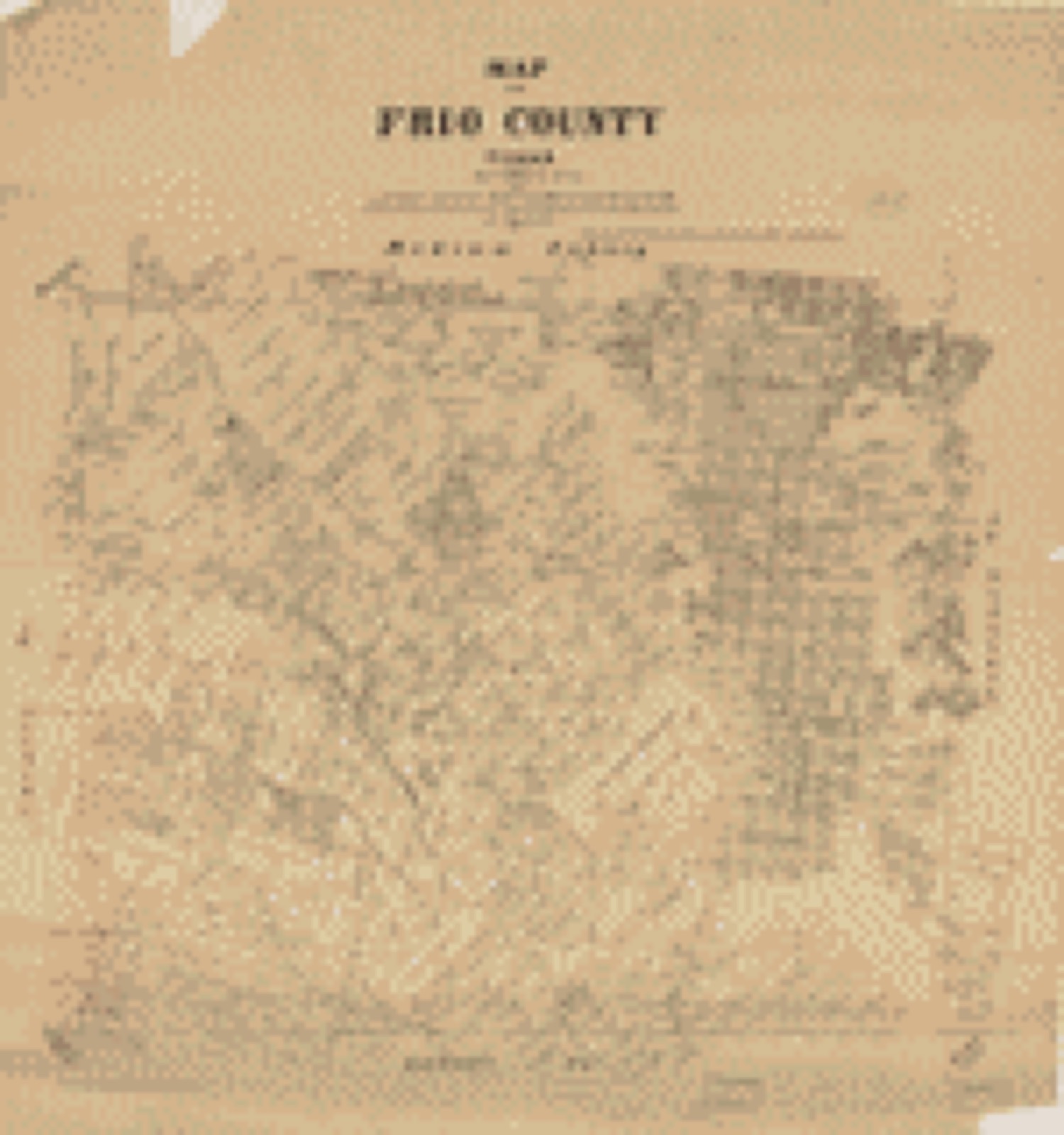
Drawn when these were printed as single large sheets: the town seen from the air, and the county divided into its farms with every owner named. Each opens the original at the Library of Congress.

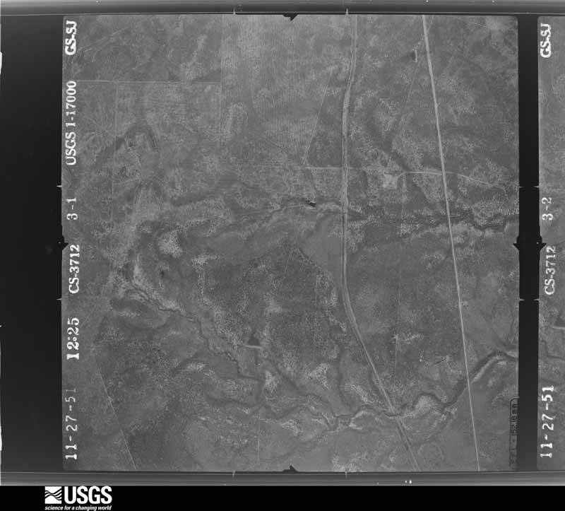
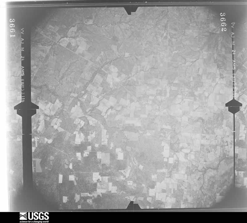
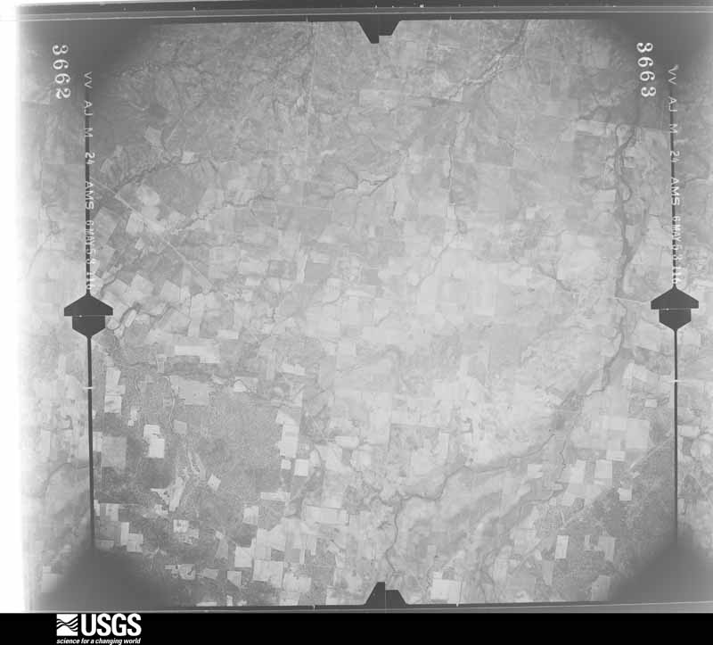
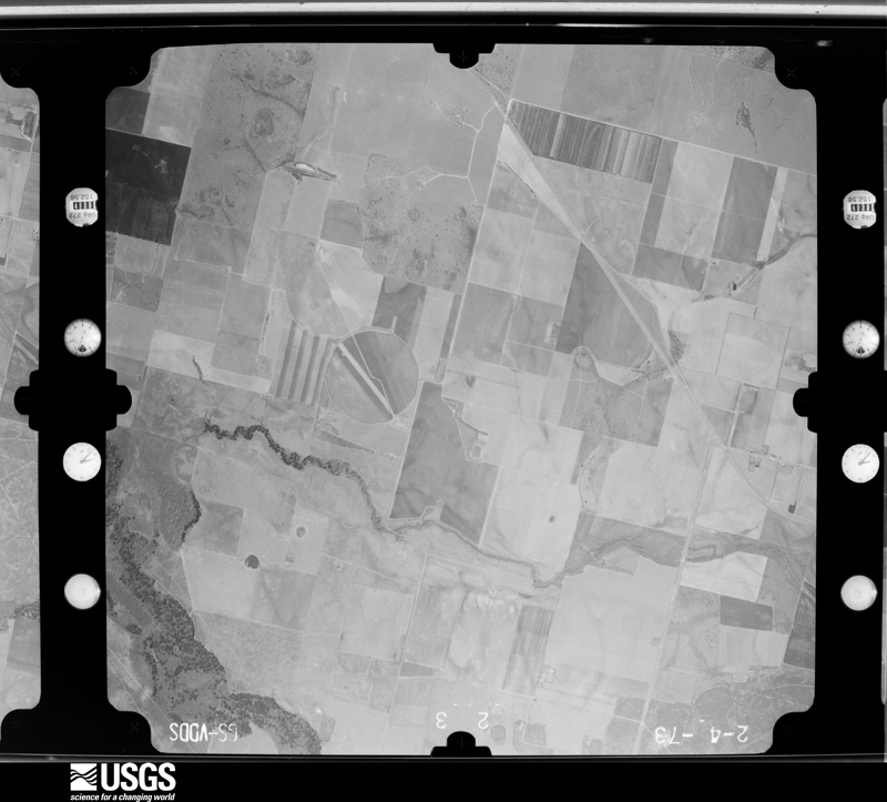
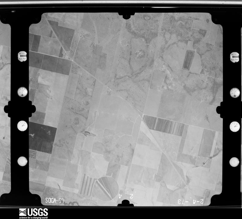
Flown by the U.S. Geological Survey between 1937 and 1989, the Aerial Photo Single Frames collection is the definitive mid-century view of the land: fields, roads and rivers as the camera saw them. The Survey holds 833 frames inside the rectangle that bounds this county; the 21 frames below were taken over the county itself, chosen across the decades of flights (at most four a year from that rectangle), so one flight cannot crowd out the rest. The full set is free to browse and download at EarthExplorer under the dataset Aerial Photo Single Frames.
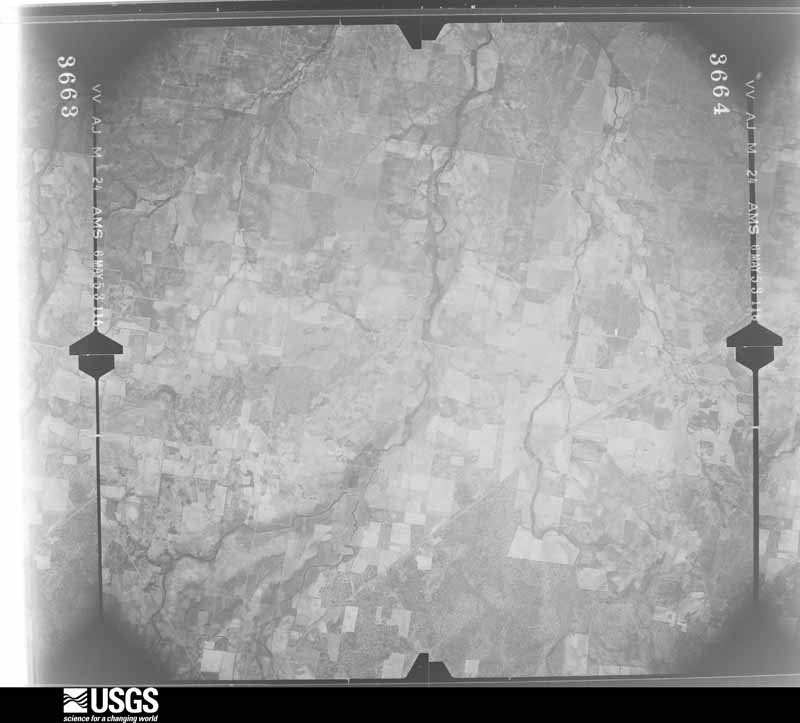
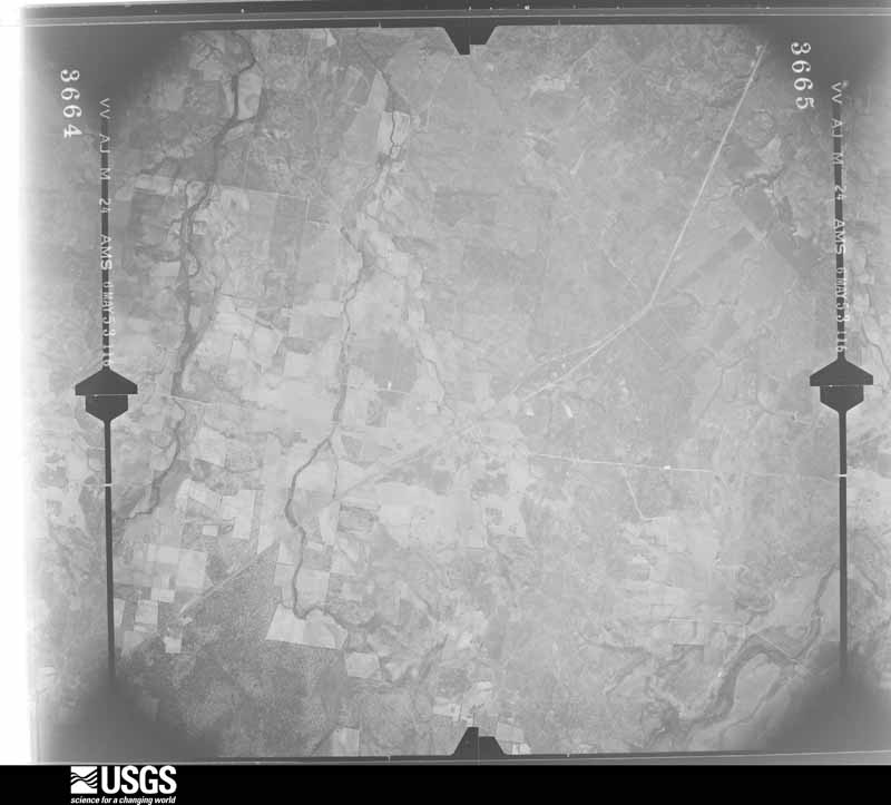
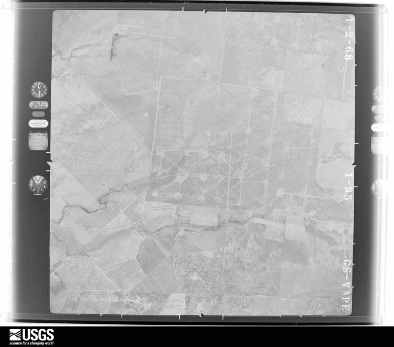
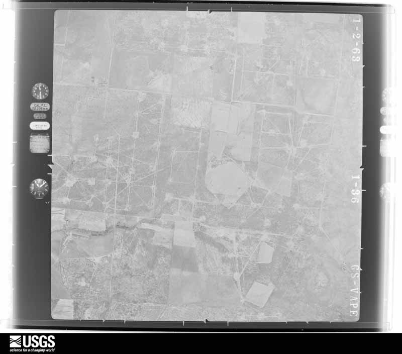
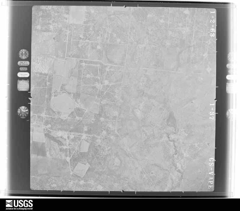
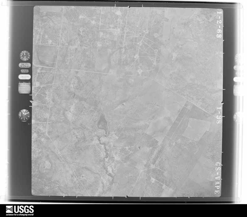
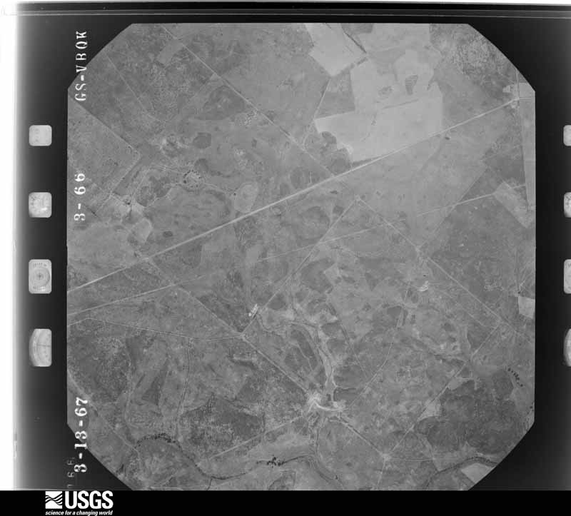
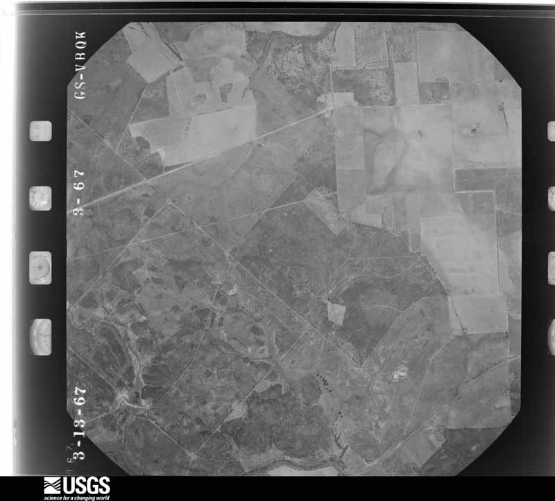
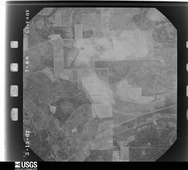
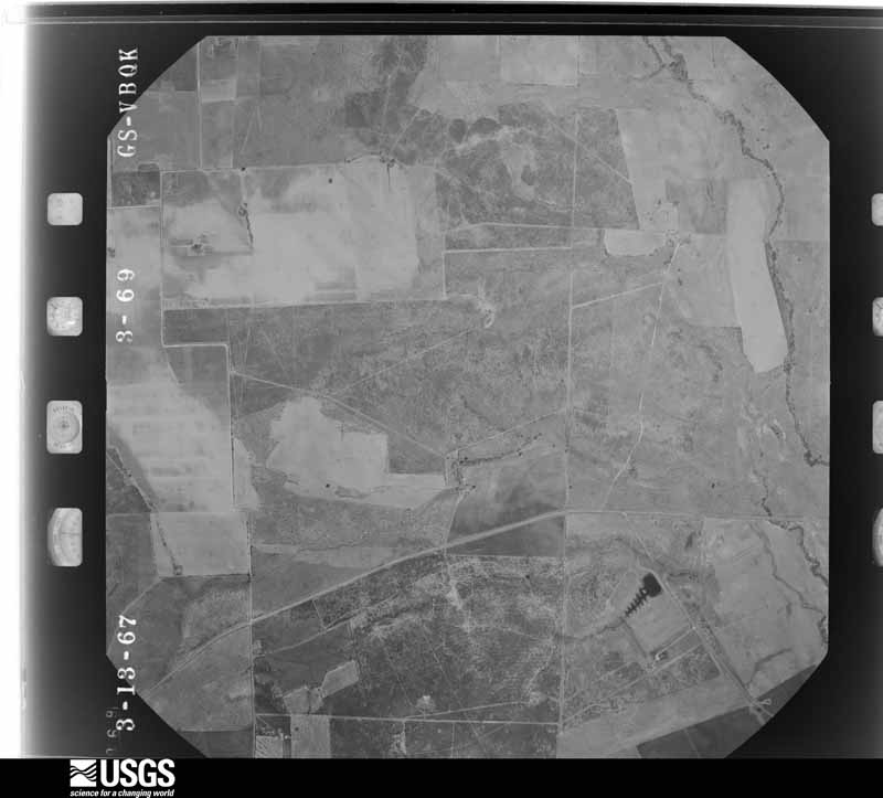
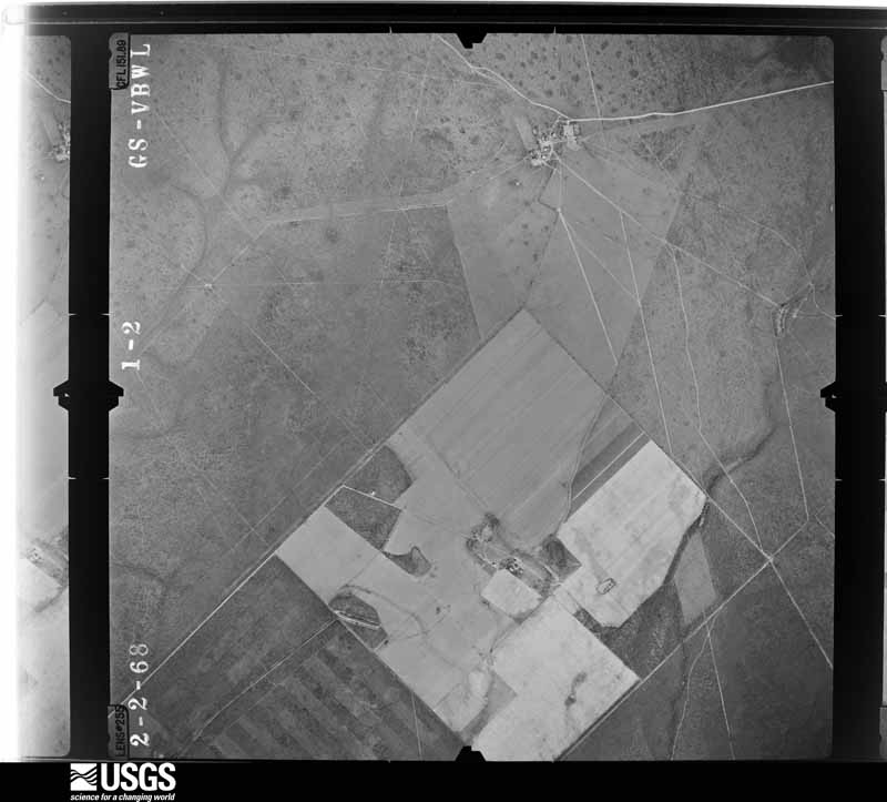
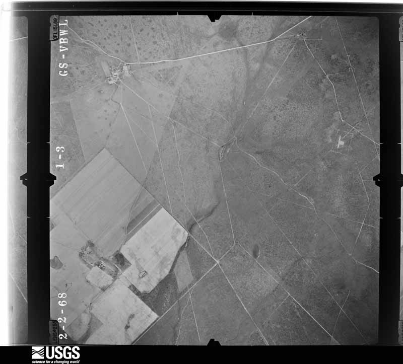
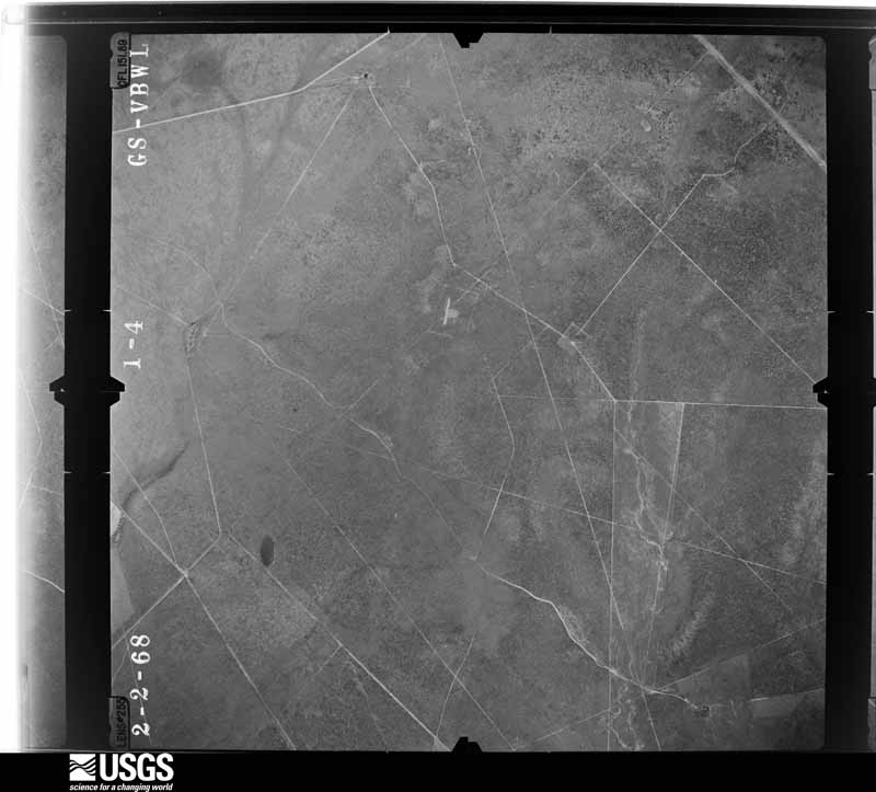
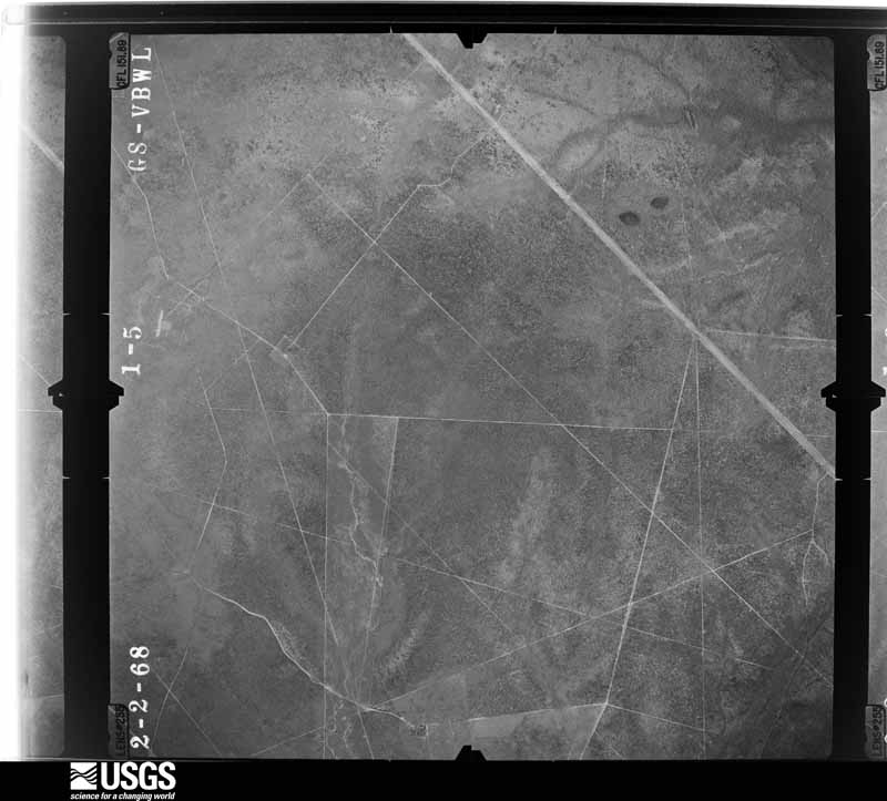
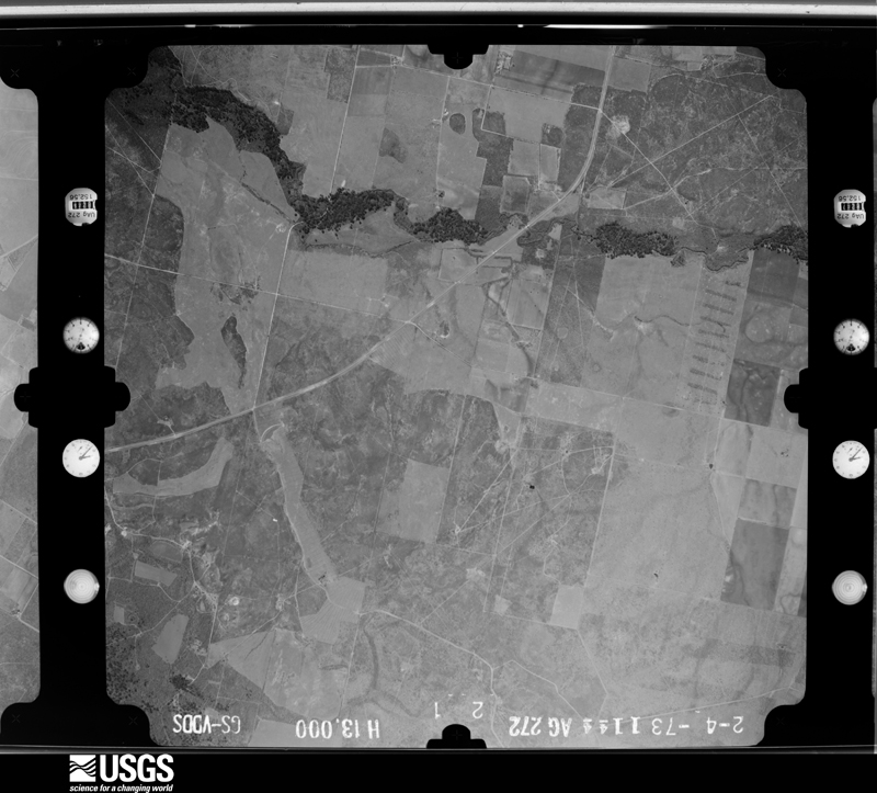
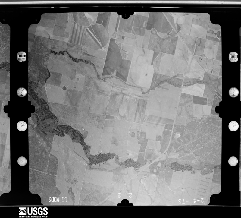
The thermometers that kept this county's weather, and the gages that measured the flow of its streams, as the federal records hold them. The extremes below are measured values from those records, not estimates.
Who lived here in 1950, one enumeration district at a time, as the Census Bureau described each district. Each row opens its official National Archives result, with Population Schedules and ED Maps available there.
Every wildfire the federal occurrence database records inside this county: 1,234 of them, burning about 17,269 acres. 9 started naturally and 8 were recorded as arson. Each settlement page carries the fires within five miles of it.
| Reported cause | Fires |
|---|---|
| Missing data/not specified/undetermined | 695 |
| Debris and open burning | 208 |
| Equipment and vehicle use | 192 |
| Power generation/transmission/distribution | 46 |
| Smoking | 33 |
| Misuse of fire by a minor | 24 |
| Recreation and ceremony | 11 |
| Natural | 9 |
| Railroad operations and maintenance | 8 |
| Arson/incendiarism | 8 |
The five largest, by the area the report gives. None of them was recorded as arson.
| Date | Cause | Size | Reported by | Name on the report |
|---|---|---|---|---|
| 5 February 2008 | Missing data/not specified/undetermined | 1,000 acres | Texas A & M Forest Service | not named |
| 31 January 2008 | Debris and open burning | 800 acres | Texas A & M Forest Service | not named |
| 3 January 2008 | Debris and open burning | 600 acres | Texas A & M Forest Service | not named |
| 20 January 2009 | Smoking | 600 acres | Texas A & M Forest Service | FM140/CR2350 |
| 29 April 2014 | Power generation/transmission/distribution | 525 acres | Texas A & M Forest Service | WILMETH FIRE |
| 10 March 2006 | Debris and open burning | 450 acres | Texas A & M Forest Service | FRIO II |
| 5 February 2008 | Missing data/not specified/undetermined | 400 acres | Texas A & M Forest Service | not named |
| 2 July 2016 | Debris and open burning | 325 acres | Texas A & M Forest Service | STOCKARD RANCH |
Every settlement page carries the fires within five miles of it - see the settlement index below.
The NOAA Storm Events Database holds 224 reports for this county, causing 5 deaths, 29 injuries and about $1,741,500 in recorded property damage. Each settlement page carries the reports that name it.
| Kind of event | Reports |
|---|---|
| Hail | 101 |
| Flash Flood | 66 |
| Thunderstorm Wind | 33 |
| Tornado | 16 |
| Funnel Cloud | 4 |
| Flood | 4 |
The most serious of them, by death, then injury, then recorded damage. The accounts are quoted exactly as the forecast office filed them.
| When | Event | Place named | Harm | What the report says |
|---|---|---|---|---|
| April 1973 | Tornado (F4) | not stated | 5 killed, 12 hurt | no account filed |
| September 2002 | Flash Flood | Countywide | 15 hurt, $700,000 | General 2 to 3 inch rainfall was indicated across the county with amounts averaging 5 inches along FM140 from Frio Town through Pearsall to the Atascosa County line. A large part of the highway from Pearsall to the Atascosa County line received up to 8 inches of rain, with isolated totals to12 inches. High water trapped people in their homes. Just under two dozen homes as well as several businesses in Pearsall received flood damage. Several cars were also flooded out. One woman was rescued from her flooded home by helicopter. Most schools in the Pearsall area were closed on Monday due roads that were blocked. Widespread damage was reported to FM140 and bridges along the highway as well as to roads in Pearsall. |
| November 1968 | Tornado (F0) | not stated | 2 hurt | no account filed |
| May 2023 | Tornado (EF0) | Dilley Arpt | $100,000 | An NWS Storm Survey found that an EF-0 tornado initially touched down on the west side of Dilley where damage to hardwood trees was noted. The tornado then moved in a northeasterly direction, causing damage to roofs of buildings on either side of I-35. The |tornado lifted on the east side of the interstate and covered approximately 0.7 miles over a span of 2 minutes. Maximum winds were estimated at 75 mph. |
| February 1998 | Thunderstorm Wind | Moore | $100,000 | Severe thunderstorm winds caused damage between Moore and Big Foot, destroying a grainery at Moore and a shed at Big Foot. |
| May 1999 | Thunderstorm Wind | Dilley | $100,000 | no account filed |
| August 2022 | Tornado (EF0) | Moore | $50,000 | A small EF0 tornado formed as a cluster of storms was moving northward through northern Frio County. An NWS damage survey found a small tornado touched down along CR 2537 on the south side of Moore and then moved NW for about a quarter mile before dissipating. Two residences on CR 2537 have roof damage, along with several trees that were damaged. A neighboring property across the street had its fence blown down. Several items from the properties were thrown about a 100 yards. As the tornado moved quickly to the NW, it appears to have dissipated along CR 2518. Maximum winds are estimated to be 75 mph. |
| October 2002 | Flash Flood | Countywide | $50,000 | By sunrise, showers and thunderstorms covered most of Frio County, with rain accumulations of 2 inches over the northeast sections. The showers continued until nearly noon, with rain totals countywide of 1 to 2 inches and accumulations of up to 5 inches in the northeast part of the County. Flash flooding began shortly after sunrise and ended shortly after noon. Damages were mainly to roads and bridges. |
| November 2000 | Thunderstorm Wind | Frio Town | $50,000 | Severe thunderstorm winds broke power poles in half. |
| March 1994 | Hail | Pearsall | $50,000 | A thunderstorm formed in the late evening just west of Dilley and moved northeastward near 35 mph. It produced golf ball-sized hail as it reached Pearsall near 2125 CST. Little damage was indicated. |
| May 2000 | Thunderstorm Wind | Derby | $50,000 | no account filed |
| May 1999 | Thunderstorm Wind | Pearsall | $50,000 | no account filed |
| May 1999 | Thunderstorm Wind | Pearsall | $50,000 | no account filed |
| August 1996 | Thunderstorm Wind | Moore | $50,000 | no account filed |
| August 1999 | Flash Flood | Countywide | $30,000 | Numerous roads were reported to be flooded across Frio County as the rain bands from Hurricane Brett produced general 2-4 inch rainfall over the northern part of the county and up to 5 inches of rain across the southern part of the county. |
| March 1998 | Thunderstorm Wind | Pearsall | $25,000 | no account filed |
| June 1983 | Tornado (F1) | not stated | $25,000 | no account filed |
| August 1980 | Tornado (F0) | not stated | $25,000 | no account filed |
| August 1970 | Tornado (F2) | not stated | $25,000 | no account filed |
| October 2002 | Flash Flood | Frio Town | $20,000 | Scattered showers and thunderstorms reformed by the mid morning in an area from LaPryor to Batesville to Frio Town. These slow-moving showers and storms were producing rainfall at rates of an inch an hour, and accumulations by mid morning were approaching 3 inches. Isolated totals near Frio Town eventually reached 5 inches. The rain continued until just before noon, then ended. With soils wet from recent rainfall, flash flooding began in the late morning and continued until near noon. |
| October 2000 | Flash Flood | North Portion | $20,000 | no account filed |
| March 1997 | Thunderstorm Wind | Pearsall | $20,000 | no account filed |
| March 1997 | Thunderstorm Wind | Pearsall | $20,000 | no account filed |
| May 2013 | Thunderstorm Wind | Pearsall | $10,000 | A thunderstorm produced wind gusts estimated at 60 mph that broke or knocked out numerous west facing windows on houses, RVs, and other vehicles. |
| October 2003 | Flash Flood | Countywide | $10,000 | Showers and thunderstorms developed in Frio County in the late night hours and continued into he early morning hours. The storms produced a general 1 to 2 inch rainfall over the county, with up to 4 inches along the extreme southern border with LaSalle County. The rainfall resulted in flash flooding that closed numerous roads across the county, and minor damage to the roads. |
| April 2002 | Tornado (F1) | Big Foot | $10,000 | The small and short-lived tornado touched down briefly near a home, destroying several trees while not damaging the house itself. |
| April 2002 | Flash Flood | North Portion | $10,000 | Rainfall of up to 4 inches fell over the northern part of Frio County, causing brief flash flooding. The damage to roads and bridges was reported to be minor, with some damage also to crops. |
| May 1997 | Thunderstorm Wind | Pearsall | $10,000 | Department of Public Safety personnel reported power lines down in Pearsall. |
| June 1998 | Flash Flood | Northeast Portion | $10,000 | no account filed |
| August 1998 | Flash Flood | Southwest Portion | $10,000 | no account filed |
| May 2024 | Thunderstorm Wind | Moore | $5,000 | A thunderstorm produced wind gusts estimated at 65 mph that blew the corrugated metal roof off of a building south the Hwy 57/I-35 intersection southwest of Moore. |
| September 2012 | Thunderstorm Wind | Dilley | $5,000 | A thunderstorm produced wind gusts estimated at 50 mph that blew the roof off a trailer home. |
| March 2004 | Flash Flood | West Portion | $5,000 | The showers and thunderstorms crossed from Zavala County into Frio County, again producing general 1 inch rainfall with up to 3 inches in the northwest part of the county. Brief flash flooding was reported in the western part of the county through the mid morning. |
| July 2003 | Flash Flood | Countywide | $5,000 | As the showers and thunderstorms moved into Frio County, they produced general 1 to 2 inch accumulations, with isolated totals of 4 to 5 inches across the northwest corner of Frio County. Flash flooding developed in the late morning and continued through the mid afternoon. |
| July 2003 | Flash Flood | Countywide | $5,000 | General 1 to 2 inch rainfall was produced by Claudette over Frio County, with isolated totals of up to 4 inches. Brief flash flooding occurred just before midnight. |
| May 1997 | Flash Flood | Countywide | $5,000 | Numerous roads were closed across the county due to heavy rainfall. |
| March 1994 | Hail | Pearsall | $5,000 | A severe thunderstorm produced golf ball-size hail at Pearsall as it moved through Frio County late in the evening. |
| March 1997 | Hail | Pearsall | $5,000 | no account filed |
| June 1999 | Flash Flood | Pearsall | $3,000 | no account filed |
| January 1998 | Flash Flood | Dilley | $3,000 | no account filed |
| February 1998 | Flash Flood | Countywide | $3,000 | no account filed |
| June 1997 | Flash Flood | Countywide | $3,000 | no account filed |
| August 1980 | Tornado (F0) | not stated | $2,500 | no account filed |
| August 1970 | Tornado (F2) | not stated | $2,500 | no account filed |
| May 2024 | Thunderstorm Wind | Moore | $2,000 | A thunderstorm produced wind gusts estimated at 60 mph that knocked down some large tree branches in Moore. |
| March 2012 | Hail | Pearsall | $2,000 | A thunderstorm produced golf ball size hail which damaged a pickup truck on FM1582 near Pearsall. |
| May 2008 | Thunderstorm Wind | Frio Town | $500 | The forman at the Rockhouse Ranch along FM 140 reported large tree branches down and a tree snapped in half. |
| January 2024 | Hail | Pearsall | - | A thunderstorm produced nickel size hail near the intersection of FM 140 and I-35 in Pearsall. |
| May 2024 | Hail | Moore | - | A thunderstorm produced half dollar size hail in Moore. |
| May 2024 | Hail | Big Foot | - | A thunderstorm produced quarter size hail in Bigfoot. |
| April 2023 | Hail | Frio Town | - | A thunderstorm produced ping pong ball size hail southeast of Frio Town. |
| March 2023 | Hail | Dilley Arpt | - | A thunderstorm produced softball size hail off of Hwy 117 west of Dilley. Hail broke through the roofs of mobile homes and truck windshields. |
| March 2023 | Hail | Dilley | - | A thunderstorm produced two inch diameter hail in Dilley. |
| May 2023 | Funnel Cloud | Dilley Arpt | - | A thunderstorm produced a funnel cloud near I-35 and FM 117 in Dilley. The Frio County Emergency Manager relayed a video of the funnel cloud to our office. |
| April 2022 | Hail | Moore | - | A thunderstorm produced nickel size hail in Moore. |
| April 2022 | Hail | Moore | - | A thunderstorm produced quarter size hail and wind gusts estimated at 55 mph in Moore. |
| April 2022 | Hail | Moore | - | A thunderstorm produced half dollar size hail in Moore. |
| May 2020 | Hail | Frio Town | - | A thunderstorm produced golf ball size hail near the intersection of Hwy 57 and FM 140 southeast of Frio Town. |
| March 2018 | Hail | Pearsall | - | A thunderstorm produced quarter size hail near the Petro Shopping Center west of I-35 in Pearsall. |
| March 2018 | Hail | Pearsall | - | A thunderstorm produced quarter size hail near N. Cherry St. in Pearsall. |
The Survey's mineral resources record lists 1 working inside this county. It is closed or unrecorded. Each settlement page carries the workings within five miles of it.
| Commodity | Workings |
|---|---|
| Sand and Gravel, Construction | 1 |
The least common of them first, because a county's hundredth gravel pit says nothing its first ten did not.
| Where | Site | Commodity | Status | Recorded |
|---|---|---|---|---|
| Pearsall Mine | Sand and Gravel, Construction | Past Producer |
Named settlements recorded in the Geographic Names Information System, each with the topographic sheets covering it. Villages, hamlets and abandoned places alike. Each is shown with the nearest named watercourse or landform and the survey quadrangle it falls on.
Pearsall census division · 78061 · Pearsall North quadrangle
10 sheets, 1927 to 1985
Pearsall census division · 78061 · On Big Slough · Halff Ranch quadrangle
10 sheets, 1925 to 1985
Dilley census division · 78017 · Near Panther Hollow · Divot quadrangle
9 sheets, 1942 to 1985
Pearsall census division · 78061 · Pearsall North quadrangle
10 sheets, 1927 to 1985
Pearsall census division · 78061 · Pearsall North quadrangle
10 sheets, 1927 to 1985