 Block
BlockGaines County, Texas
17 topographic sheets cover 9 settlements here.
Research this county
What the record shows
- 55 topographic sheet readings cover the county's settlements.
- The Geographic Names Information System records 9 populated places in this county; 9 are covered by at least one topographic sheet.
Photographs from libraries nationwide
1 shownSelected from the Digital Public Library of America's 1 image records catalogued for this county. Every one shown here carries a public-domain status or a licence that permits reuse on a site that carries advertising; non-commercial, share-alike and restricted images are excluded. The selection is spread across the county's towns (at most eight per town), so no single institution's bulk upload crowds out the rest. Each opens the holding library's record, and the complete set at the Digital Public Library of America is one click away.

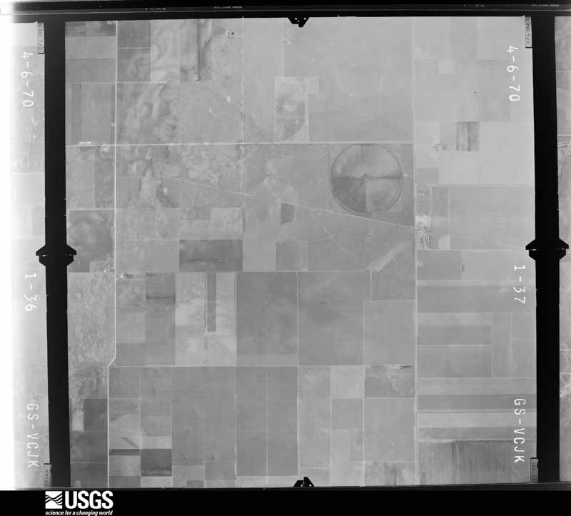
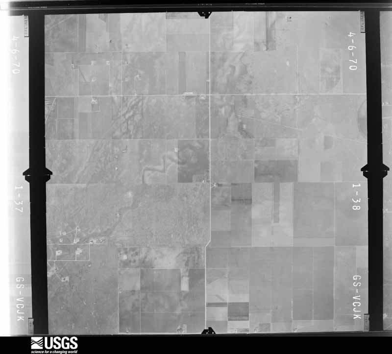
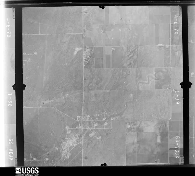
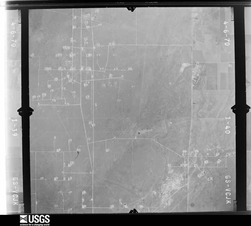
The county from the air
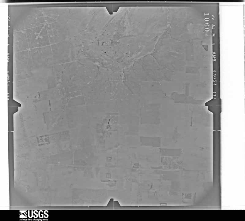
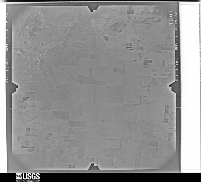
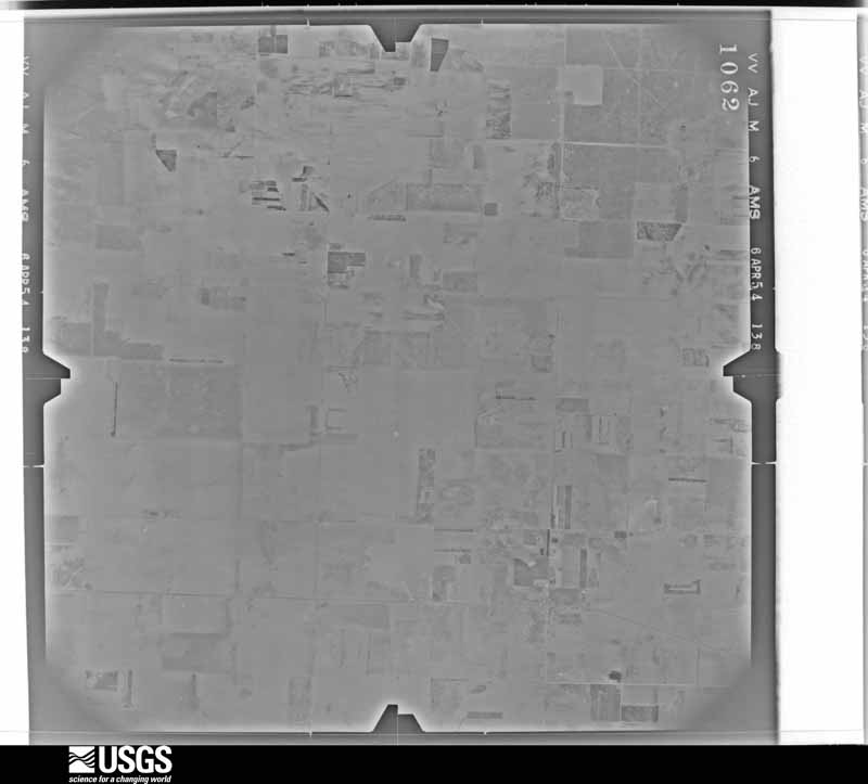
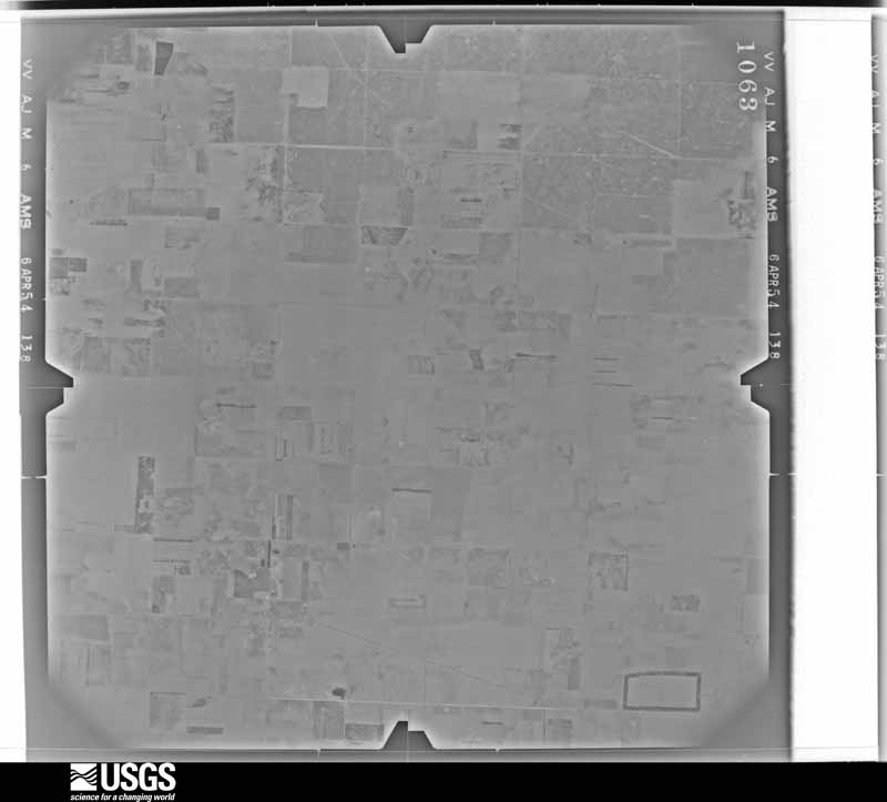
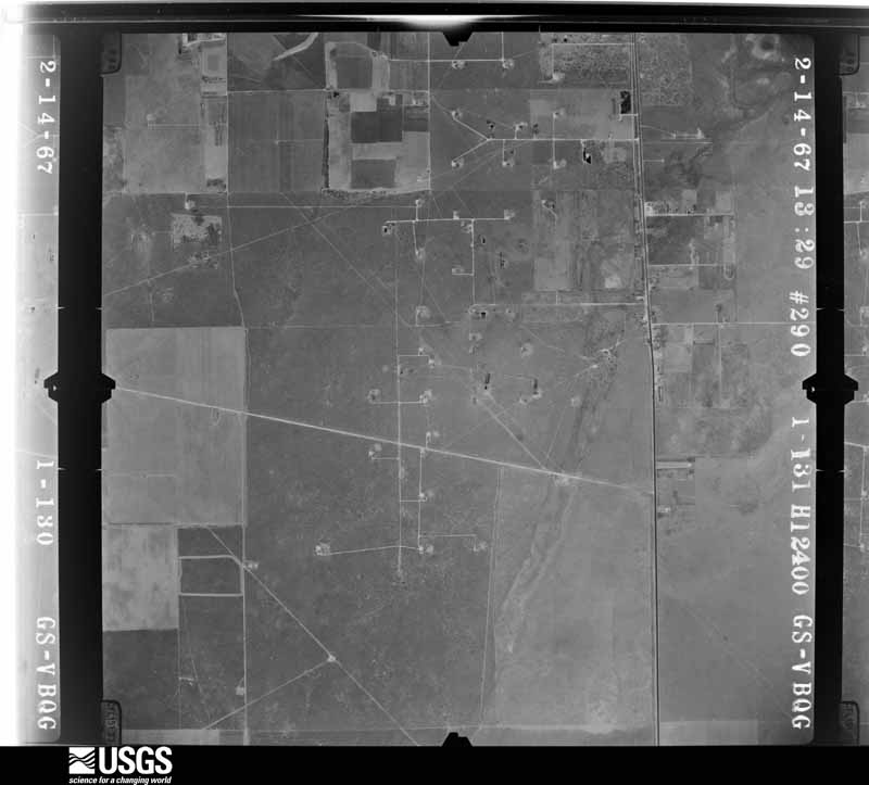
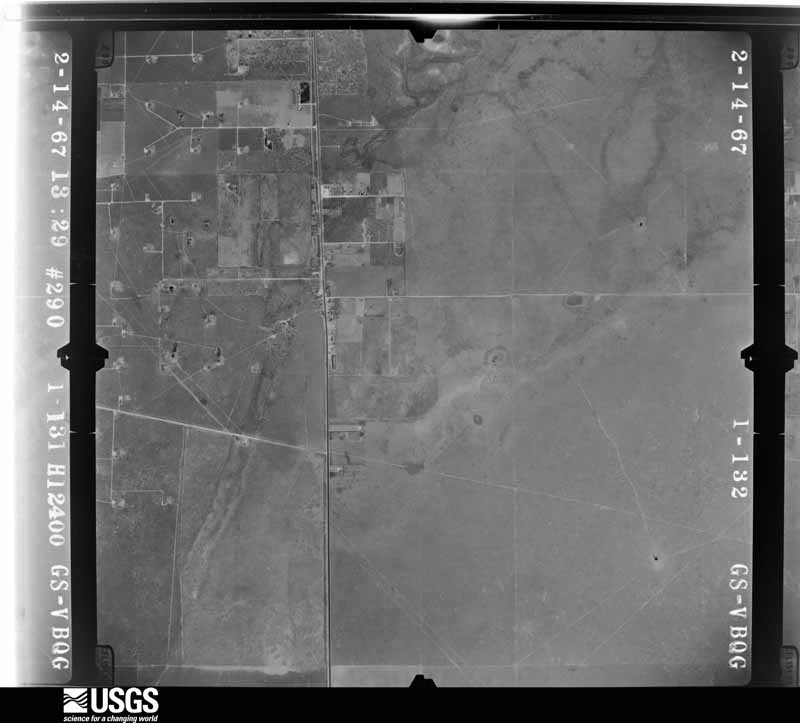
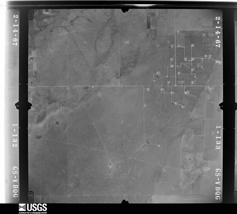
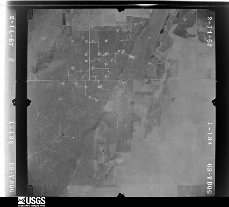
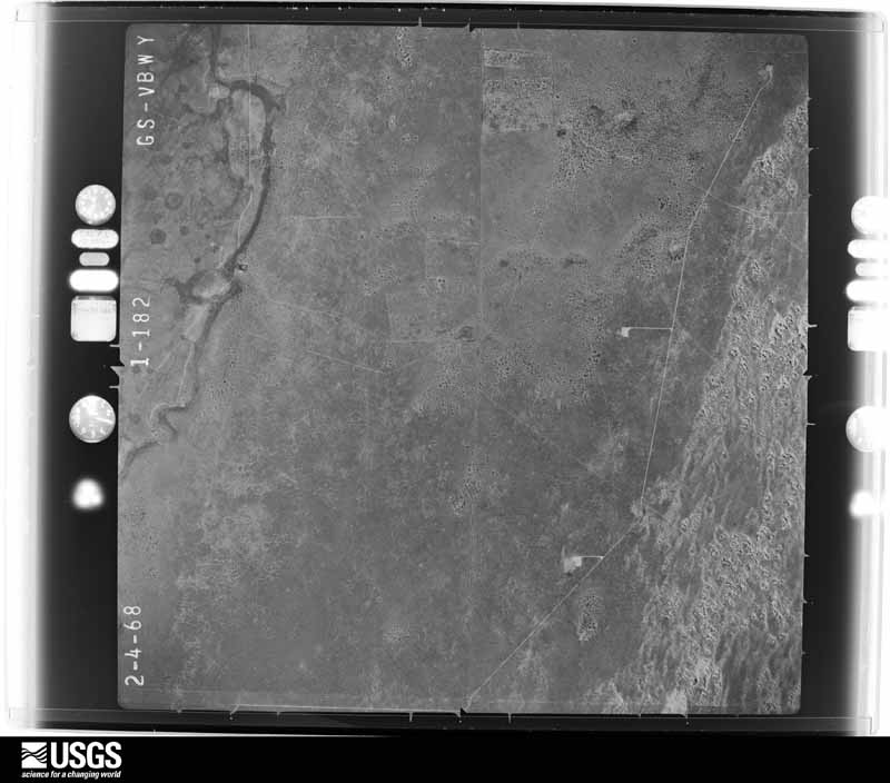
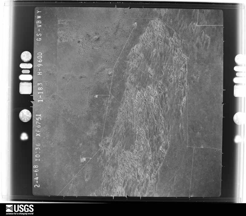
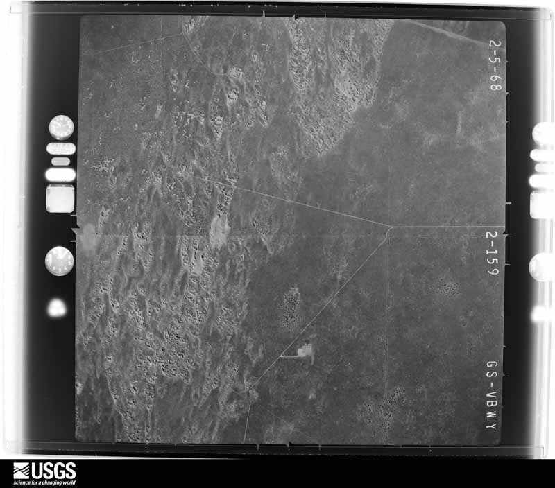
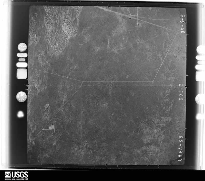
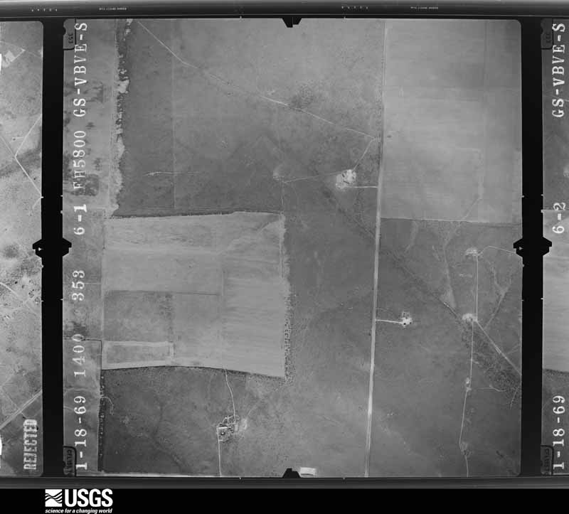
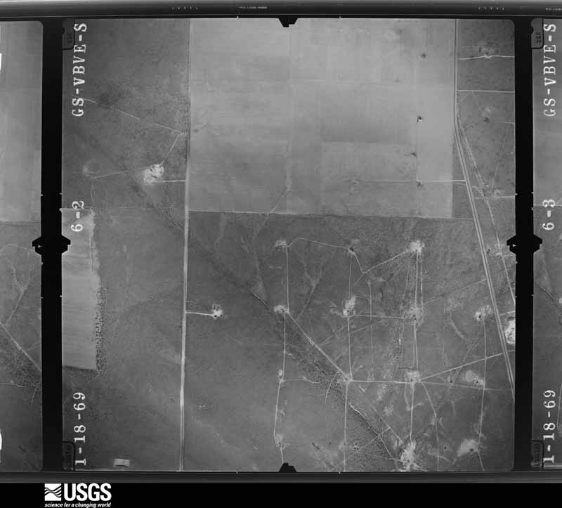
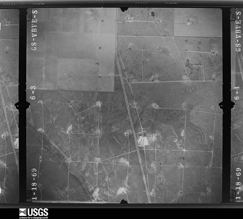
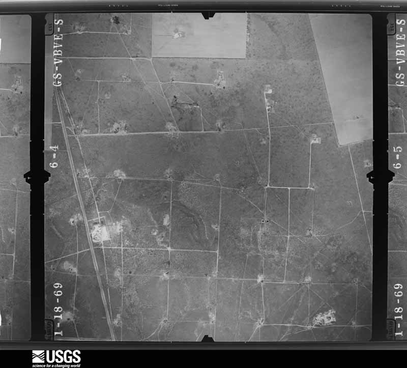
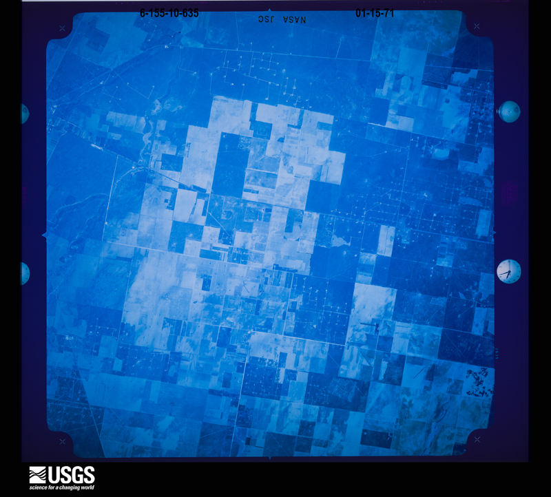
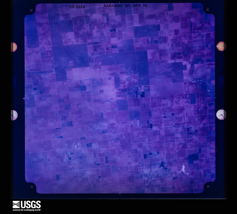
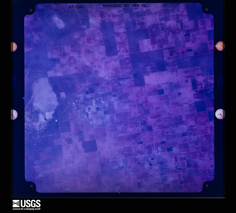
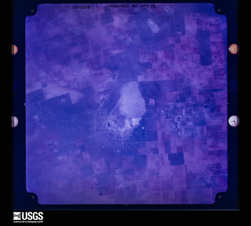
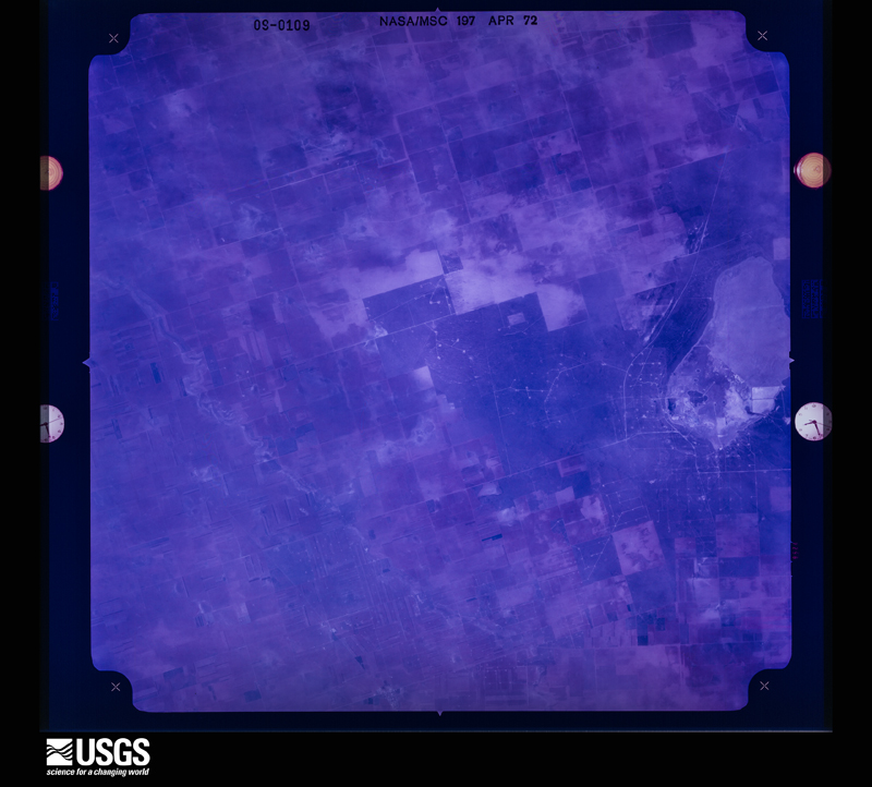
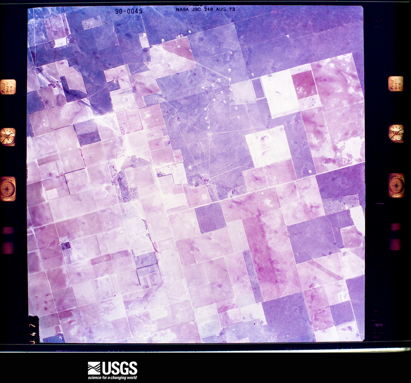
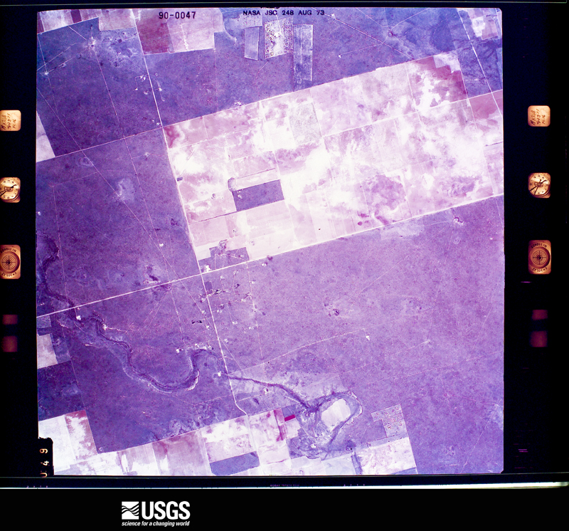
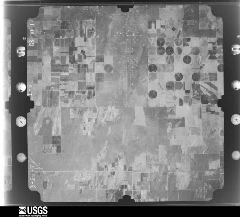
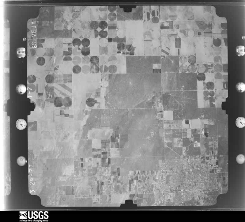
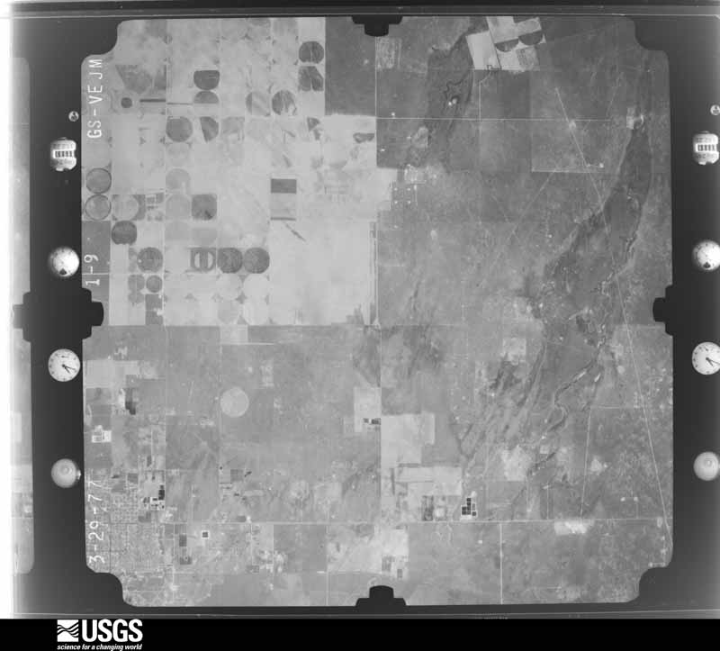
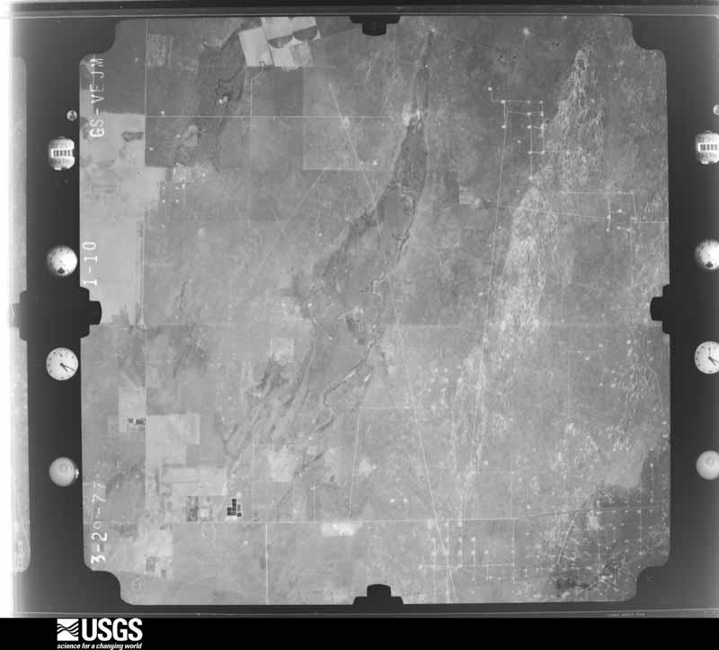
36 shownFlown by the U.S. Geological Survey between 1937 and 1989, the Aerial Photo Single Frames collection is the definitive mid-century view of the land: fields, roads and rivers as the camera saw them. The Survey holds 2,984 frames inside the rectangle that bounds this county; the 36 frames below were taken over the county itself, chosen across the decades of flights (at most four a year from that rectangle), so one flight cannot crowd out the rest. The full set is free to browse and download at EarthExplorer under the dataset Aerial Photo Single Frames.





Weather records
6 stationsThe thermometers that kept this county's weather, as the federal records hold them. The extremes below are measured values from those records, not estimates.
- SEMINOLE 1922 to 2023, hottest 45.6 C, coldest -30.6 C
- LOOP 1941 to 1995, hottest 31.1 C, coldest -6.7 C
- SEAGRAVES 1980 to 1981, hottest 33.3 C, coldest -15.0 C
- LOOP 10 SE 2001 to 2003, hottest 41.7 C, coldest -12.8 C
- SEMINOLE 0.7 W 2002 to 2026
- GAINES CO AP 2011 to 2026, hottest 43.3 C, coldest -19.4 C
The 1950 census, district by district
17 districtsWho lived here in 1950, one enumeration district at a time, as the Census Bureau described each district. Each row opens its official National Archives result, with Population Schedules and ED Maps available there.
- 83-1Seminole City comprising parts of Commissioner's Precincts 1, 2, 3. and 4: Seminole city - That part in Commissioner's Precinct 1 Bounded by Ave. F. N.E. City limits; City limits, Precinct line; Precinct line
- 83-2Seminole City - That part in Commissioner's Precinct 2 Bounded by City limits; City limits, Ave. F. N.E., Precinct line; Precinct line; S.W. 3rd, N.W. 3rd
- 83-3Seminole City - That part in Commissioner's Precinct 2 Bounded by City limits; N.W. 3rd, S.W. 3rd; Precinct line; City limits
- 83-4Seminole City - That part in Commissioner's Precinct 3 Bounded by Precinct line; S.W. 3rd, Ave. C S.W., S.W. 4th; City limits; City limits
- 83-5Seminole City - That part in Commissioner's Precinct 3 Bounded by Precinct line; S. Main, City limits; City limits; City limits, S.W. 4th, Ave. C S.W., S.W. 3rd
- 83-6Seminole City - That part in Commissioner's Precinct 4 Bounded by Precinct line; City limits; City limits; S. Main
- 83-7Commissioner's Precinct 1, outside Seminole City: Seagraves city: Seagraves city - That part Bounded by City limits; City limits; 3rd; Dana Ave., 1st, Dana Ave.
- 83-8Seagraves city - That part Bounded by City limits; Dana Ave., 1st, Dana Ave., 3rd, Willard Ave.; 6th; City limits
- 83-9Seagraves city - That part Bounded by 6th; Willard Ave., Panhandle and Santa Fe Railway; City limits; City limits
- 83-10Seagraves city - That part Bounded by 3rd; City limits; City limits; Panhandle and Santa Fe Railway, Willard Ave.
- 83-11Commissioner's Precinct 1, That part east of Unnamed road extending north from precinct line through Loop to Terry County line
- 83-12Commissioner's Precinct 1 - That part west of Unnamed road extending south from Terry County line through Loop to precinct line and southeast of U.S. Hwy. 62, outside Seagraves and Seminole cities
- 83-13Commissioner's Precinct 1 - That part northwest of U.S. Hwy. 62, outside Seagraves city (Remainder of Commissioner's Precinct 1 is in Seminole City)
- 83-14Commissioner's Precinct 2, outside Seminole City: Commissioner's Precinct 2 - That part north and east of State Hwy. 214, outside Seminole City
- 83-15Commissioner's Precinct 2 - That part west and south of State Hwy. 214, outside Seminole City (Remainder of Commissioner's Precinct 2 is in Seminole City)
- 83-16Commissioner's Precinct 3 - That part outside Seminole City (Remainder of Commissioner's Precinct 3 is in Seminole City)
- 83-17Commissioner's Precinct 4 - That part outside Seminole City (Remainder of Commissioner's Precinct 4 is in Seminole City)
Wildfire, 2005 to 2020
759 firesEvery wildfire the federal occurrence database records inside this county: 759 of them, burning about 55,785 acres. 70 started naturally and 6 were recorded as arson. Each settlement page carries the fires within five miles of it.
| Reported cause | Fires |
|---|---|
| Debris and open burning | 179 |
| Missing data/not specified/undetermined | 172 |
| Power generation/transmission/distribution | 125 |
| Equipment and vehicle use | 111 |
| Smoking | 93 |
| Natural | 70 |
| Arson/incendiarism | 6 |
| Misuse of fire by a minor | 3 |
The five largest, by the area the report gives. None of them was recorded as arson.
| Date | Cause | Size | Reported by | Name on the report |
|---|---|---|---|---|
| 5 November 2011 | Missing data/not specified/undetermined | 9,500 acres | Texas A & M Forest Service | GRASS FIRE |
| 6 April 2011 | Power generation/transmission/distribution | 8,000 acres | Texas A & M Forest Service | GRASS FIRE |
| 24 May 2011 | Power generation/transmission/distribution | 7,680 acres | Texas A & M Forest Service | GRASS FIRE |
| 14 July 2006 | Natural | 3,000 acres | Texas A & M Forest Service | not named |
| 7 June 2011 | Power generation/transmission/distribution | 2,000 acres | Texas A & M Forest Service | GRASS FIRE |
| 6 April 2006 | Missing data/not specified/undetermined | 2,000 acres | Texas A & M Forest Service | not named |
| 10 September 2010 | Missing data/not specified/undetermined | 1,500 acres | Texas A & M Forest Service | GRASS |
| 6 April 2006 | Missing data/not specified/undetermined | 1,200 acres | Texas A & M Forest Service | not named |
Every settlement page carries the fires within five miles of it - see the settlement index below.
Storms, 1957 to 2025
60 of 480 shownThe NOAA Storm Events Database holds 480 reports for this county, causing no deaths, 32 injuries and about $25,223,000 in recorded property damage. Each settlement page carries the reports that name it.
| Kind of event | Reports |
|---|---|
| Hail | 233 |
| Thunderstorm Wind | 137 |
| Flash Flood | 67 |
| Tornado | 40 |
| Flood | 1 |
| Funnel Cloud | 1 |
| Heavy Rain | 1 |
The most serious of them, by death, then injury, then recorded damage. The accounts are quoted exactly as the forecast office filed them.
| When | Event | Place named | Harm | What the report says |
|---|---|---|---|---|
| May 1982 | Tornado (F2) | not stated | 17 hurt, $2,500,000 | no account filed |
| September 1982 | Tornado (F1) | not stated | 9 hurt, $250,000 | no account filed |
| June 2007 | Thunderstorm Wind | Seminole | 4 hurt, $5,000,000 | A damage survey was conducted by NWS personnel the morning following the winds. The results of the damage survey follow.||Winds were measured at 97.5 mph at the West Texas Mesonet site two miles north northeast of Seminole, however, there is visual indication that wind speeds in some locations around Seminole, were at times even stronger estimated in the range of 100-120 mph. Communication tower damage, where a tower measuring 320 feet in height fell on a church and another tall tower was bent into the shape of a rectangle, both suggest higher wind speed estimates. Additionally, three miles east southeast of Seminole along County Road 402, at least eight wooden power poles were snapped just above the ground. This further supports the idea that winds were at times greater than 100 mph.||NWS personnel found many trees were uprooted and tree limbs down. The entire town of Seminole experienced damage, with areas just west of downtown and just east of town being hardest hit by the damaging winds.||The extent of the wind damage prompted the Gaines County EOC to request EMS/Fire assistance from Hobbs, NM. Included in the damage were two mobile homes that were rolled. One of these homes had four people inside, including one infant. All four were injured and the infant was kept for observation overnight at a Lubbock hospital. ||Backup generators at the Emergency Operations center lost power as well as commercial power to much of Seminole. |
| June 1961 | Tornado (F2) | not stated | 2 hurt, $25,000 | no account filed |
| April 1999 | Hail | Seminole | $8,000,000 | A multicell cluster of severe storms that crossed into New Mexico from Reeves and Loving Counties, TX just before 1pm CDT emerged from Lea County, NM at around 6pm. The city of Seminole was pounded by large hail, high winds and flooding rains. |
| May 1997 | Hail | Seagraves | $2,500,000 | Baseball size hail and larger smashed the windshield of a Police cruiser and shattered windows in several homes. Power was knocked out around town as well. Autos and roofs of houses were smashed by the large hail and accounted for much of the damage total. A local insurance agent said the damage was the worst in 20 years in Seagraves.Storms that were moving eastward into the Seagraves area had been a multicell cluster, but just before arriving at Seagraves one cell developed briefly into an HP Supercell. |
| April 1999 | Flash Flood | Countywide | $2,000,000 | Training of numerous cells over Seminole and areas to the east and northeast caused widespread and extensive flooding. The KMAF 88D Storm Total Precipitation measured a strip of 20 by 8 miles that received in excess of 5 inches of rain. Readings from within the swath confirmed this estimation. Residences were flooded in Seminole and cars on FM 1429 east of Seminole were stranded in high water. One new mobile home east of the city became flooded and started to float in the water, only to break apart shortly thereafter. Several people were rescued from vehicles standing in 4-5 feet of water. Numerous animals died in the event, including five horses on a farm that died from hypothermia after being stranded for hours in deep, hail-chilled waters. |
| September 1998 | Thunderstorm Wind | Seagraves | $700,000 | An isolated severe thunderstorm rapidly intensified as it moved to the south into Northern Gaines County just east of Seagraves. Doppler radar showed this storm to have VILs in excess of 50 kg/m2 for several volume scans as it entered the county. VILs and low-level reflectivity decreased significantly during and shortly after the time severe weather was reported. The MAF evening sounding suggested the potential for hybrid microbursts, with wind gusts over 75 knots possible.A trailer house and barn one mile east of the city limits were demolished, and the roofs off three hangars at the municipal airport farther east of town were partly or totally removed. Other structures from eastern city limits to a couple miles east of the city limits incurred similar damage. The most costly damage was to the cotton crops, which were days away from being harvested. Winds estimated at or above 80 mph levelled these crops with pea-sized and smaller hail. A 17,000 pound tractor was also moved over 100 feet and 23 center-pivot irrigation systems were at least overturned. |
| July 2018 | Thunderstorm Wind | Seagraves | $500,000 | A thunderstorm moved across Gaines County and produced wind damage about three miles southwest of Seagraves. Several power lines were blown down due to thunderstorm winds at County Road 226 and US 385. The cost of damage is a very rough estimate. |
| April 2006 | Thunderstorm Wind | Seagraves | $500,000 | Severe thunderstorm winds blew through Seagraves in northern Gaines County taking down a cell phone tower and blowing a tree onto a house. Several reports of damage were received by police in Seagraves according to the local newspaper. A Texas Tech Mesonet site one mile southwest of Seagraves recorded wind gusts of 74 and 75 mph during the time damage was reported to have occurred. |
| April 2000 | Hail | Seagraves | $500,000 | Small cluster of storms crossed into Texas from Eastern New Mexico with the southern-most cell developing into a low-topped supercell. Hail was described as very hard. |
| October 2002 | Thunderstorm Wind | Seminole | $375,000 | An intense supercell thunderstorm moved across the western sections of Gaines County. This storm resulted in damaging winds and large hail. Reports from the local emergency manager indicate eighty-seven power poles were blown down from the storm. Although reports of large hail were only confirmed in the two locations listed, evidence of wind driven hail was present in crop damage across a large part of western Gaines County. |
| May 2016 | Thunderstorm Wind | Seagraves | $250,000 | A thunderstorm moved across Gaines County and produced wind damage east of Seagraves. Several irrigation pivots were overturned. The cost of damage is a very rough estimate. |
| May 2006 | Hail | Seminole | $250,000 | Baseball size hail fell in a swath from northwest of Seminole on Texas Highway 214 to Seminole, breaking numerous car and building windows. |
| May 1995 | Hail | Loop | $250,000 | Hen egg- to tennis ball-size hail fell from a storm that move across the town of Loop. The local school sustained $60K in roof damage alone. |
| May 1996 | Thunderstorm Wind | Seminole | $120,000 | no account filed |
| June 2002 | Thunderstorm Wind | Seminole | $100,000 | The Texas Mesonet site at Seminole measured a severe thunderstorm wind gust of 87 MPH. The local emergencey manager and the local newspaper reported damage in the city of Seminole. Several power poles were blown down. In addition...minor to moderate structural damage was reported to a few buildings. Reports of tree damage were numerous. |
| May 1995 | Hail | Seagraves | $100,000 | Reported by the Seagraves Fire Department. Numerous vehicles damaged by golf ball-size hail. |
| April 1997 | Tornado (F2) | Seminole | $80,000 | This second tornado was spawned about two miles east of were tornado #1 dissipated. This tornado tracked to the northeast and overturned two center-pivot irrigation systems. The second system looked as if a couple of sections had become airborne from the resulting damage which snapped off a large wheel. |
| May 2005 | Flash Flood | Seminole | $75,000 | Local law enforcement officials reported that heavy rainfall caused flash flooding in the streets of Seminole. Six vehicles were reported to be stranded in the flowing flood waters. Several motorists were rescued by fire department personnel. No injuries were reported. |
| June 2018 | Thunderstorm Wind | Seminole | $60,000 | A thunderstorm moved across Gaines County and produced wind damage in Seminole. There were numerous reports of wind damage including downed trees, power lines, power poles, and traffic signs. There was also damage to storage buildings. The damage occurred in Seminole and areas west toward the Texas/New Mexico state line. The cost of damage is a very rough estimate. |
| September 2024 | Thunderstorm Wind | Higginbotham | $50,000 | Report from Seminole Fire Department of 8-10 power poles down with damage to two nearby oil and gas plants due to wind near CR 237 and CR 208. Time is estimated from radar. The estimated maximum wind gust speed is 100 mph. Property damage cost is an estimation. |
| June 2023 | Thunderstorm Wind | Seminole Arpt | $50,000 | After a previous tornado had lifted, the rear-flank downdraft surged, leading to severe winds estimated between 60 and 83 mph. Damage in the area included an unanchored shed that was tipped over and leaning onto a manufactured home along County Road 337, a snapped power pole on County Road 335, and a turned-over irrigation system off County Road 331. All of the damage was oriented towards the east/northeast, indicating this damage was caused by rear-flank downdraft winds. Property damage cost is an estimation. |
| October 2023 | Flash Flood | Seagraves | $50,000 | Multiple cars were stranded in flood waters on North State Highway 385 and East State Highway 83. Property cost damage is an estimation. |
| June 2013 | Thunderstorm Wind | Seminole | $48,000 | A thunderstorm moved over Gaines County and produced damage in Seminole. A trailer house was blown onto a car on the road. Winds from this damage are estimated to be near 80 mph. The cost of damage is a rough estimate. |
| May 2008 | Thunderstorm Wind | Loop | $40,000 | Powerlines were downed by strong thunderstorm winds in the Ashmore community. |
| April 1999 | Thunderstorm Wind | Seminole | $40,000 | Thunderstorm outflow winds blew down signs in town and blew one roof off a house just east of town. |
| September 2024 | Thunderstorm Wind | Higginbotham | $30,000 | Large uprooted hardwood tree, metal barn with roof and walls peeled back to the west, along with downed power poles. The estimated maximum wind gust speed is 100 mph. Property damage cost is an estimation. |
| June 2008 | Hail | Seminole | $30,000 | Baseball sized hail fell in the city of Seminole. |
| May 2006 | Hail | Seminole | $30,000 | Tennis ball size hail covered U.S. Highway 180 east of Seminole. |
| May 2018 | Thunderstorm Wind | Seagraves | $28,000 | A thunderstorm moved across Gaines County and produced a downburst in Seagraves. A 74 mph wind gust was recorded by the West Texas Mesonet. Roof damage occurred in the town of Seagraves. The cost of damage is a very rough estimate. |
| November 2024 | Flash Flood | Seminole Arpt | $25,000 | The fire department reports a few stalled vehicles and a vehicle underwater. Property cost damage is an estimation. |
| July 2009 | Thunderstorm Wind | Seminole | $25,000 | In addition to the measured wind gust at the mesonet, a trampoline was blown through a residence's roof. The time of occurrence was not available, but it can be assumed that it happened near the same time of the wind observation. |
| June 2008 | Thunderstorm Wind | Seminole | $25,000 | Powerlines were downed by strong thunderstorm winds on the north side of Seagraves and again south of the city along Texas State Highway 385. In addition, a storage shed was blown into a house south southwest of Seagrave. |
| May 2007 | Flash Flood | Seminole | $25,000 | Moderate street flooding with two feet of water flowing through the streets in the city of Seminole occurred due to heavy rainfall and resulted in local officials closing many streets. Several vehicles were underwater. Water damage occurred at Seminole Primary School from floodwaters. U.S. Highway 385 was closed due to high water just north of Seminole. The eastbound lanes of U.S. Highway 180 out of Seminole also were closed. At least one high water rescue was performed in Seminole. Numerous intersections were flooded and closed by police in Seagraves. |
| October 2002 | Hail | Higginbotham | $25,000 | Large hail combined with severe winds to produce damage to crops and rural properties. |
| May 2023 | Thunderstorm Wind | Seagraves Arpt | $20,000 | Gaines County emergency manager shared photos of an overturned irrigation pivot. The location was near US Highway 385 just north of Seagraves City Limits. No other damage was reported. Time was estimated by radar with wind speeds estimated between 60-80 mph. |
| June 2008 | Hail | Seminole | $20,000 | The Gaines County Emergency Manager received multiple reports of golfball sized hail from Seminole residents. |
| June 2007 | Thunderstorm Wind | Seagraves | $20,000 | The West Texas Mesonet site one mile southwest of Seagraves (KSGV) recorded a wind gust of 76 mph. Trees and power lines were downed, roofs were damaged and horse trailers were flipped over. A tree limb went through a company vehicle. |
| March 2006 | Hail | Seminole | $20,000 | The Gaines County Sheriff's Office reported penny size hail covering U.S. Highway 385 caused an accident south of Seminole. No injuries occurred. |
| June 2005 | Thunderstorm Wind | Seminole | $20,000 | Severe thunderstorms produced damaging winds over Gaines County shortly after midnight CST. The West Texas Mesonet site near Seagraves recorded a peak gust of 61 MPH at 00:10 CST. Utility poles also were downed by thunderstorm winds along County Road 305 south of Seminole. |
| July 2004 | Thunderstorm Wind | Seminole | $20,000 | After the landspout tornado southwest of Seminole dissipated, a severe thunderstorm propagated toward the city from the northwest. This storm produced a downburst north of Seminole. The West Texas Mesonet site two miles north of of the city recorded a wind gust of 73 MPH. Police Department officials estimated 80 MPH winds as damaging winds spread south. Several power poles and lines were blown down by the winds. In addition, large tree limbs also were broken and at least one large tree was uprooted. A lack of structural damage suggested that the strongest winds did not occur within the city limits. |
| September 2004 | Flash Flood | Seminole | $20,000 | Strong to severe thunderstorms trained over the northern half of Gaines County and resulted in very heavy rainfall and flash flooding. At 17:30 LST officials reported that high water flowed over Texas Highway 214 and swept a vehicle off of the road northwest of Seminole. Rescue crews had to remove the driver from the vehicle in swiftly moving flood waters. During the next three hours numerous roadways and highways also were flooded near Seagraves. Heavy rainfall also produced flowing flood waters that made U.S. Highway 385/62 impassable ten miles north of Seminole. |
| June 2002 | Thunderstorm Wind | Seminole | $20,000 | Thunderstorm winds destroyed multiple irrigation systems. |
| June 1997 | Thunderstorm Wind | Seminole | $20,000 | no account filed |
| May 2016 | Hail | Seminole | $15,000 | A thunderstorm moved across Gaines County and produced tennis ball sized hail in Seminole. There were numerous windows broken and the siding was ripped off of houses. The cost of damage is a very rough estimate. |
| September 2004 | Flash Flood | Seagraves | $15,000 | Flash flooding inundated Texas Highway 214 near the Gaines/Yoakam County line. At 14:55 CST a car was washed off of the highway just south of the county line by flowing flood waters. Local emergency officials closed the highway after the driver of the vehicle was brought to safety and it was not re-opened until the water receded after midnight CST. |
| June 2013 | Thunderstorm Wind | Seminole | $13,000 | A thunderstorm moved over Gaines County and produced wind damage in Seminole. A radio tower was blown down and bent over a fire department building. The tower landed on electrical wires as well as on a personal vehicle of one of the firefighters. It made a three inch hole in the cab of the truck and fried some of the electronics. Based on the damage, the wind gusts were estimated to be around 65 mph. The cost of damage is a rough estimate. |
| August 2004 | Thunderstorm Wind | Seminole | $12,000 | Additional thunderstorm development over the northwestern Permian Basin resulted in damaging winds that blew down a row of power poles along State Highway 214 northwest of Seminole. Sparking utility lines set the poles on fire after they were downed by the storm. |
| July 2025 | Thunderstorm Wind | Seminole Arpt | $10,000 | Metal paneling was peeled from the roof of a metal barn/building due to a microburst. The damage was consistent with an estimated 80-85 mph wind gust. The total time of occurrence is partially estimated by radar. The cost of damages is also estimated. |
| May 2024 | Thunderstorm Wind | Seminole Arpt | $10,000 | Seminole Fire Department reported power lines down at CR 316 and CR 327. Wind speeds were estimated to be approximately 80 MPH. Property damage cost is an estimation. |
| September 2024 | Thunderstorm Wind | Higginbotham | $10,000 | The emergency manager reports that two power poles snapped in half. The estimated maximum wind gust speed is 100 mph. The property damage cost is an estimation. |
| May 2016 | Thunderstorm Wind | Seminole Arpt | $10,000 | A thunderstorm moved across Gaines County and produced wind damage in and near Seminole. A storm survey was conducted of the damage and it was determined that the winds got up to 100 mph. Along with damage to trees and metal buildings, there were power poles that were blown down on US 180. The cost of damage is a very rough estimate. |
| June 2014 | Thunderstorm Wind | Seminole | $10,000 | A thunderstorm moved across Gaines County and produced wind damage near Seminole. An 18 wheeler was blown over on US Highway 385 nine miles south of Seminole. The cost of damage is a very rough estimate. |
| September 2012 | Thunderstorm Wind | Seminole | $10,000 | A thunderstorm moved over Gaines County and produced a wind gust estimated to be near 55 mph. This wind gust damaged a theator that was being built at a local school in Seminole. One of the support walls for the theator had collapsed. The cost of the damage is a very rough estimate. |
| June 2008 | Thunderstorm Wind | Seagraves | $10,000 | Telephone poles were downed by severe thunderstorm winds at the intersection of U.S. Highway 385 and Texas State Highway 83 in Seagraves. |
| June 2008 | Hail | Seminole | $10,000 | Baseball sized hail fell along Farm to Market Road 2885 near Texas State Highway 385. |
| June 2008 | Hail | Seminole | $10,000 | Softball sized hail fell at the intersection of County Roads 212 and 214. |
| June 2008 | Thunderstorm Wind | Seminole Arpt | $10,000 | Strong thunderstorm winds downed powerlines along County Road 219 northwest of Seminole. |
| June 2008 | Thunderstorm Wind | Seminole | $10,000 | Multiple powerline poles were downed by strong thunderstorm winds. |
Mines and quarries
5 recordedThe Survey's mineral resources record lists 5 workings inside this county. 4 still produce and 1 is closed or unrecorded. Each settlement page carries the workings within five miles of it.
| Commodity | Workings |
|---|---|
| Sodium | 2 |
| Bromine | 1 |
| Limestone, General | 1 |
| Stone, Crushed/Broken | 1 |
The least common of them first, because a county's hundredth gravel pit says nothing its first ten did not.
| Where | Site | Commodity | Status | Recorded |
|---|---|---|---|---|
| Gaines County Pit | Limestone, General | Past Producer | ||
| H.S. Smith Mine | Bromine | Producer | Brine | |
| Rose Gravel Company Pit | Stone, Crushed/Broken | Producer | ||
| Ozark Mahoning H S Davis Plant | Sodium | Producer | ||
| Seagraves Plant | Sodium | Producer |
Every populated place in the county
9Named settlements recorded in the Geographic Names Information System, each with the topographic sheets covering it. Villages, hamlets and abandoned places alike. Each is shown with the nearest named watercourse or landform and the survey quadrangle it falls on.
Provenance
- Topographic sheets. USGS Historical Topographic Map Collection, county index, measured from the bulk metadata.
- Fire insurance maps. Library of Congress Sanborn collection, faceted to this county.
- Photographs. Each place queried individually against the Library of Congress Prints and Photographs search.
- Wildfire. Short, Karen C. 2022. Spatial wildfire occurrence data for the United States, 1992-2020 [FPA_FOD_20221014]. 6th Edition. Fort Collins, CO: Forest Service Research Data Archive. https://doi.org/10.2737/RDS-2013-0009.6 Collected with United States Government funding and usable without additional permissions or fees.
- Mines and quarries. USGS Mineral Resources Data System (MRDS) https://mrdata.usgs.gov/mrds/ A work of the United States government, no copyright under 17 U.S.C. 105.
- Storms. NOAA National Centers for Environmental Information, Storm Events Database https://www.ncei.noaa.gov/stormevents/ A work of the United States government, no copyright under 17 U.S.C. 105. Narratives are quoted verbatim from the National Weather Service report and are not edited or summarised.