 Block
BlockFrom the record
18 National Register listings published here.
Sources: the National Register database, National Park Service
35 topographic sheets cover 18 settlements here, and 18 properties are on the National Register of Historic Places.
18 National Register listings published here.
Sources: the National Register database, National Park Service
Every property in this county listed on the National Register of Historic Places, with the year it was listed and the federal nomination document.
| Photograph | Property | Type | Listed | Reference |
|---|---|---|---|---|
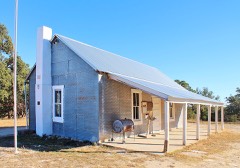 | Cave Creek School | building | 2004 | 04001415 |
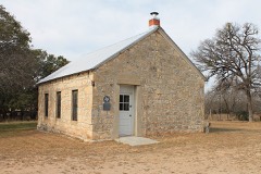 | Cherry Spring School | building | 2005 | 05000389 |
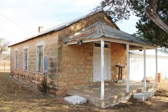 | Crabapple School | building | 2005 | 05000390 |
| Feller-Barsch Homestead | district | 2019 | 100004372 | |
 | Fredericksburg Historic District | district | 1970 | 70000749 |
 | Fredericksburg Memorial Library | building | 1971 | 71000935 |
| Klein Frankreich Rural Historic District | district | 2023 | 100009111 | |
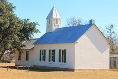 | Lower South Grape Creek School | building | 2005 | 05000391 |
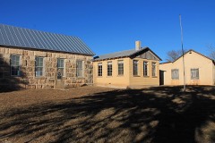 | Luckenbach School | building | 2005 | 05000392 |
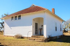 | Meusebach Creek School | building | 2005 | 05000393 |
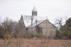 | Morris Ranch Schoolhouse | building | 1983 | 83003142 |
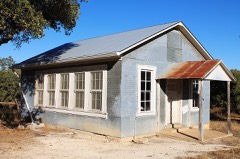 | Nebgen School | building | 2005 | 05000394 |
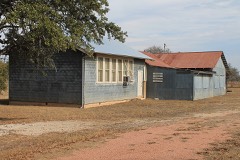 | Pecan Creek School | building | 2005 | 05000418 |
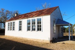 | Rheingold School | building | 2005 | 05000388 |
 | St. Mary's Catholic Church | building | 1983 | 83003143 |
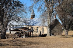 | Williams Creek School | building | 2005 | 05000384 |
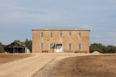 | Willow City School | building | 2005 | 05000385 |
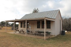 | Wrede School | building | 2005 | 05000519 |
Drawn when these were printed as single large sheets: the town seen from the air, and the county divided into its farms with every owner named. Each opens the original at the Library of Congress.
![Land ownership map, 1879 - Gillespie County [Texas]](assets/locview_2005625373.jpg)

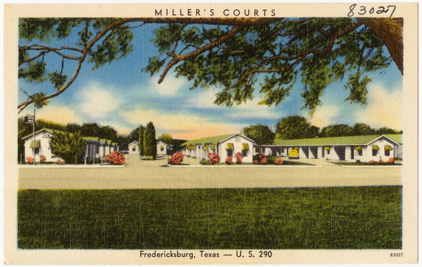
Selected from the Digital Public Library of America's 1 image records catalogued for this county. Every one shown here carries a public-domain status or a licence that permits reuse on a site that carries advertising; non-commercial, share-alike and restricted images are excluded. The selection is spread across the county's towns (at most eight per town), so no single institution's bulk upload crowds out the rest. Each opens the holding library's record, and the complete set at the Digital Public Library of America is one click away.
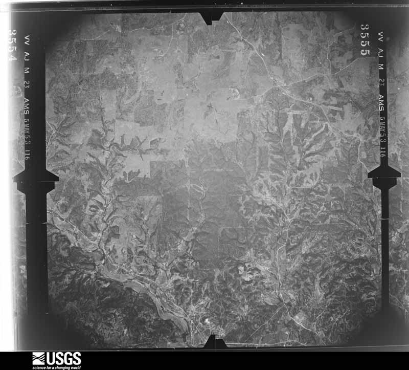
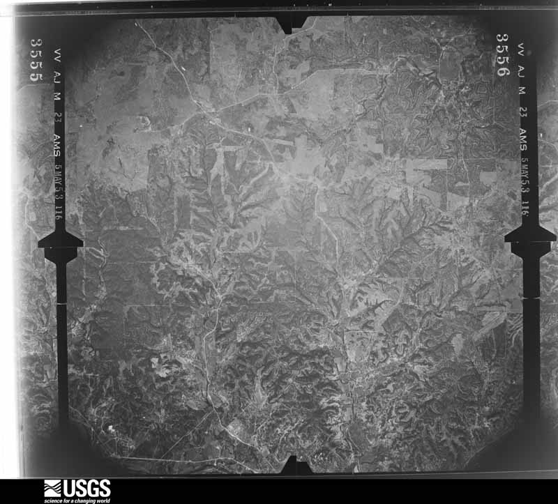
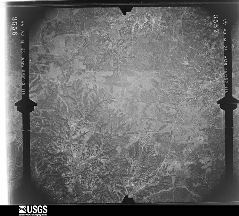
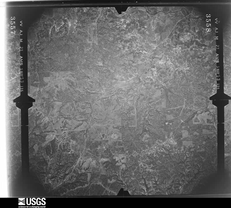
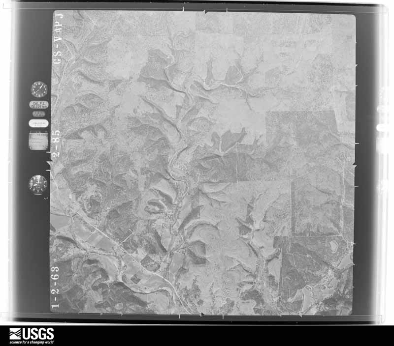
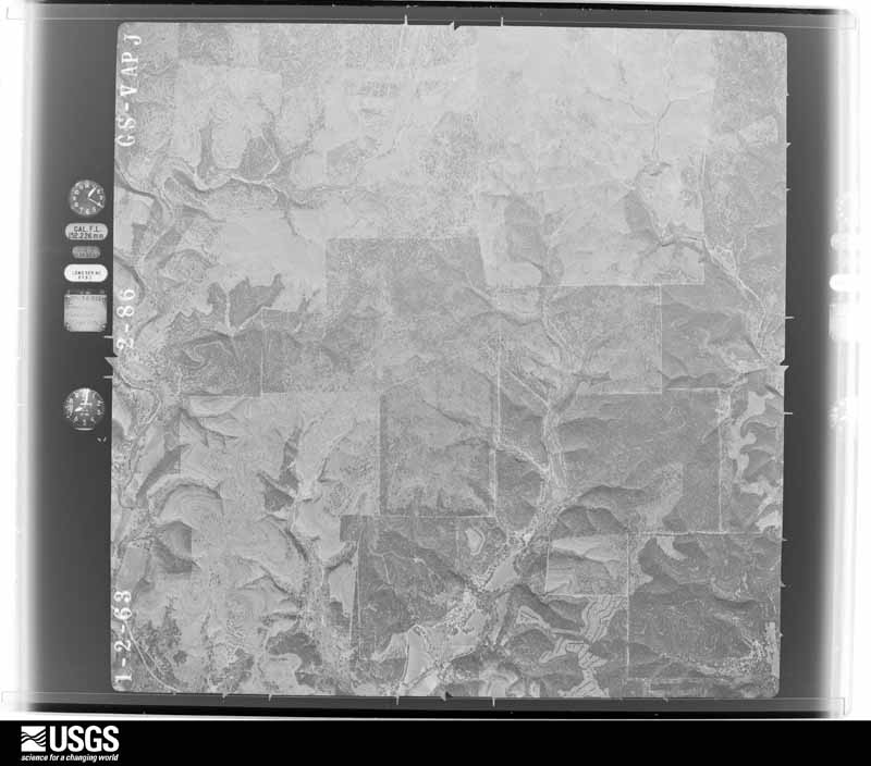
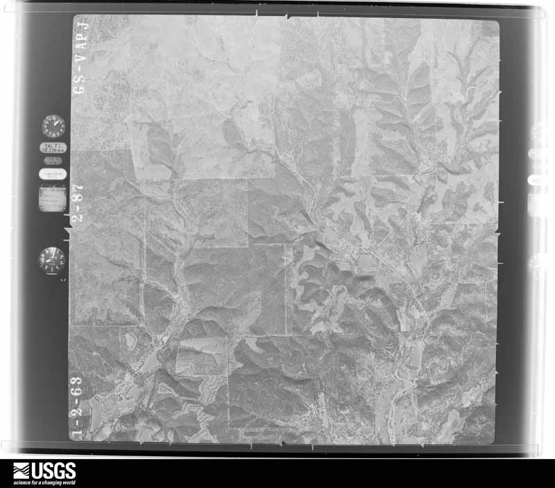
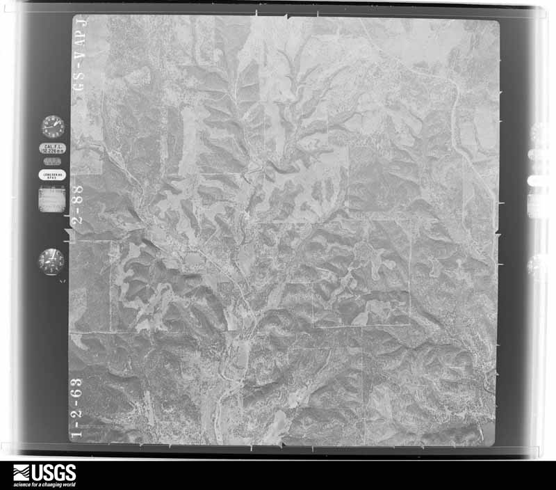
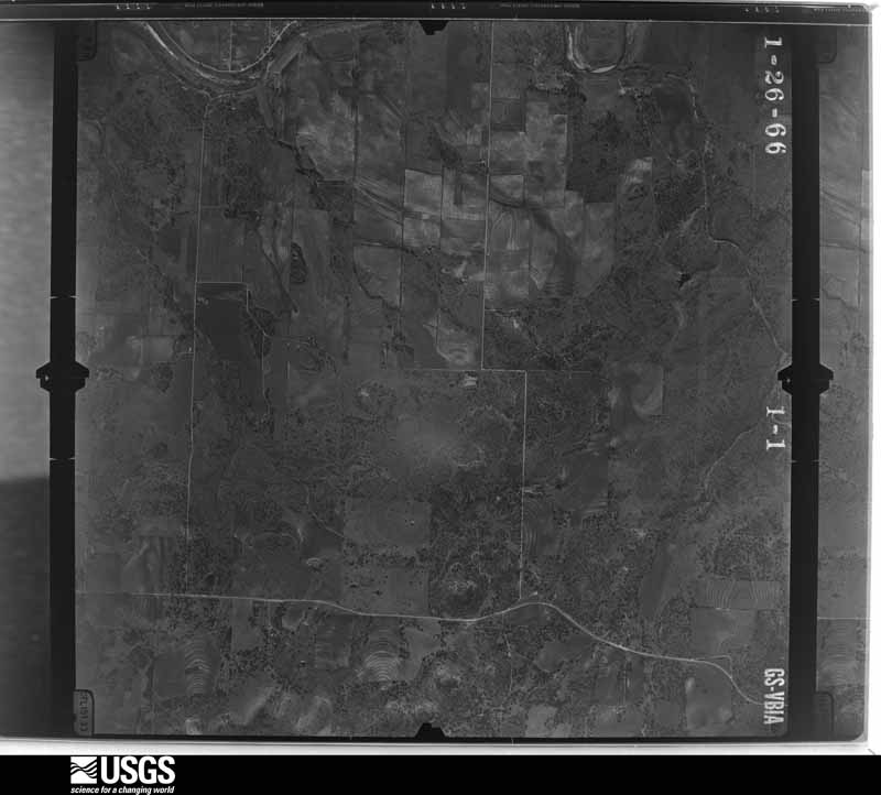
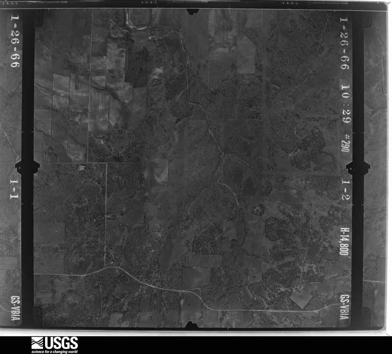
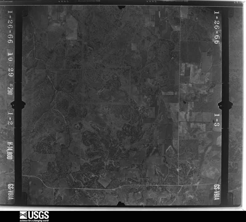
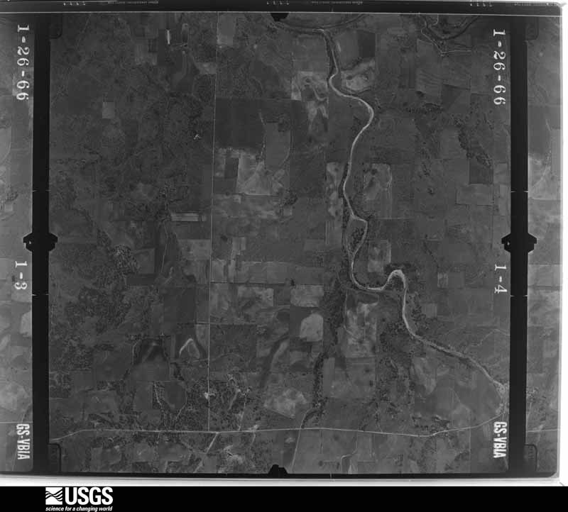
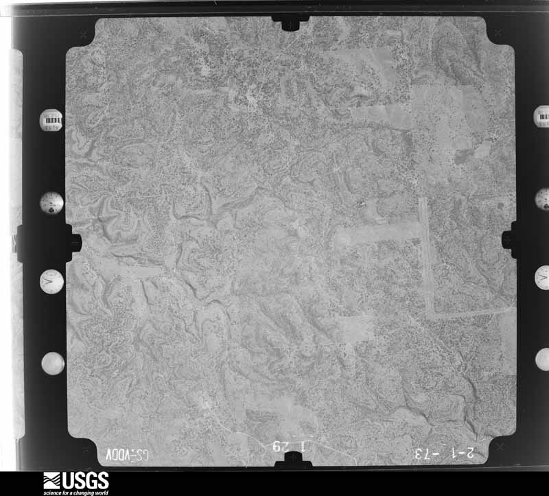
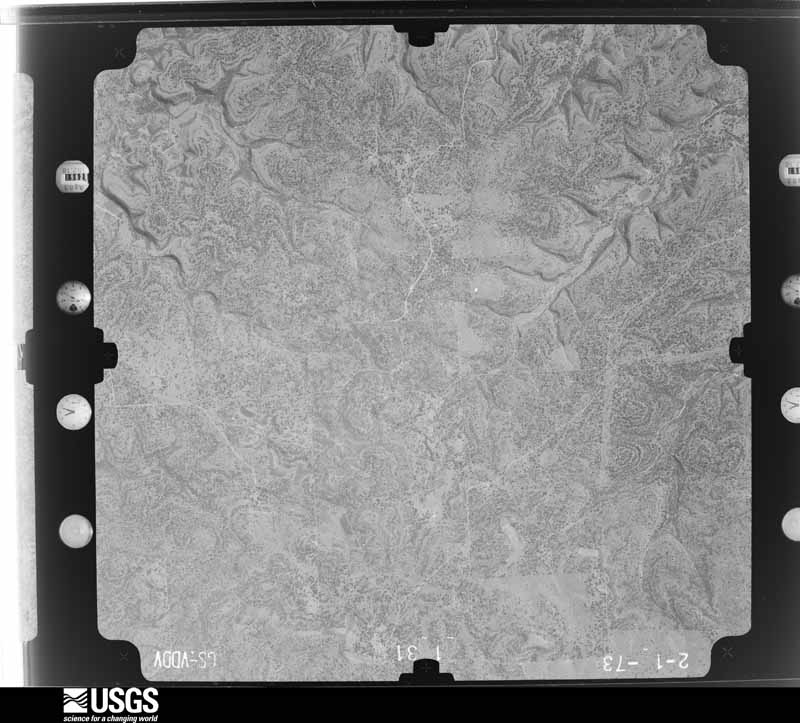
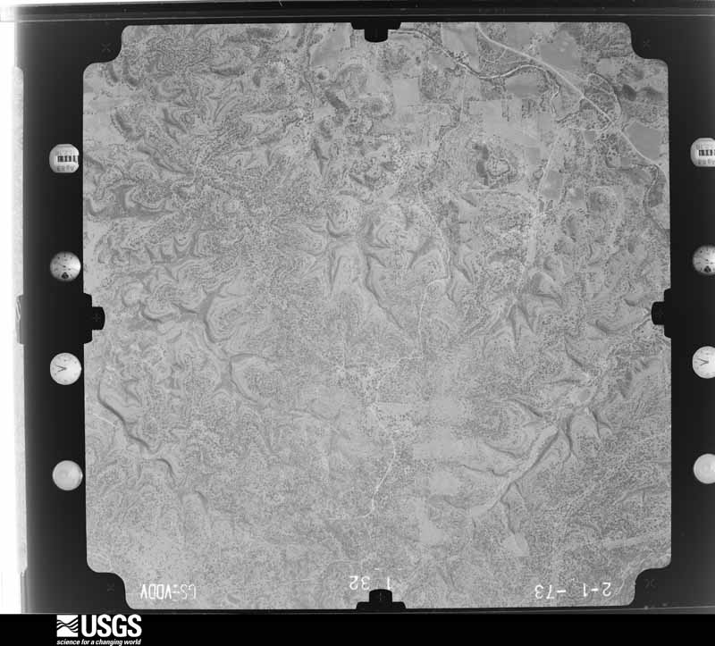
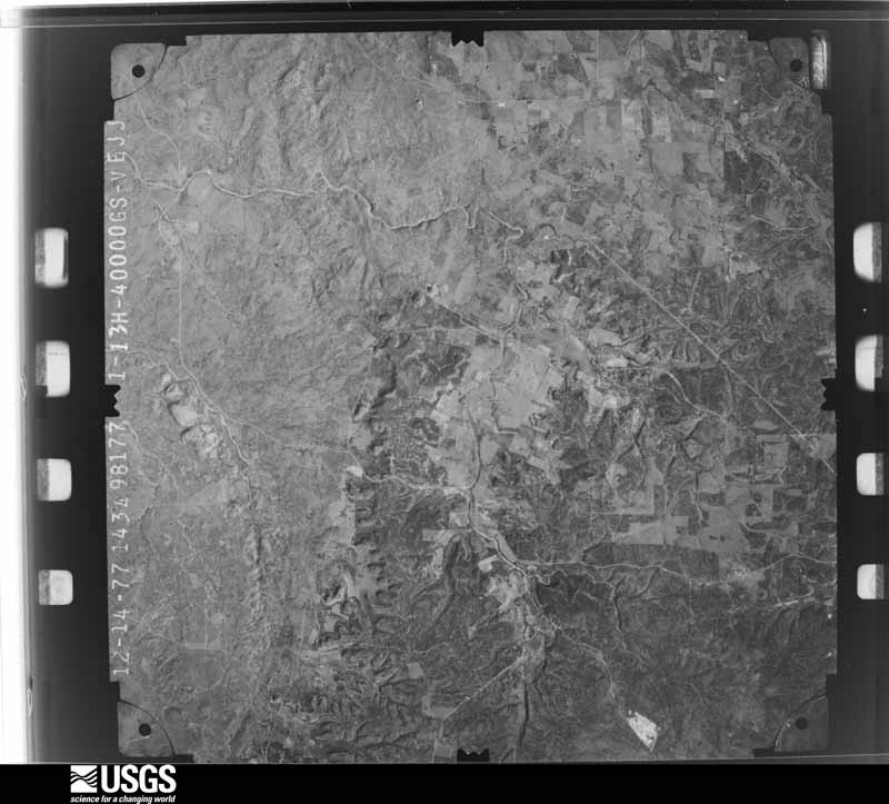
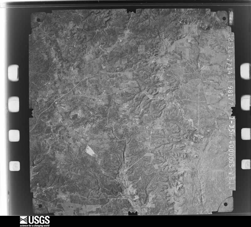
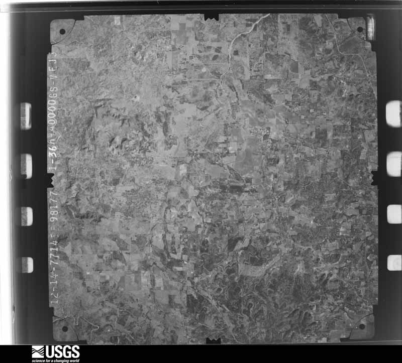
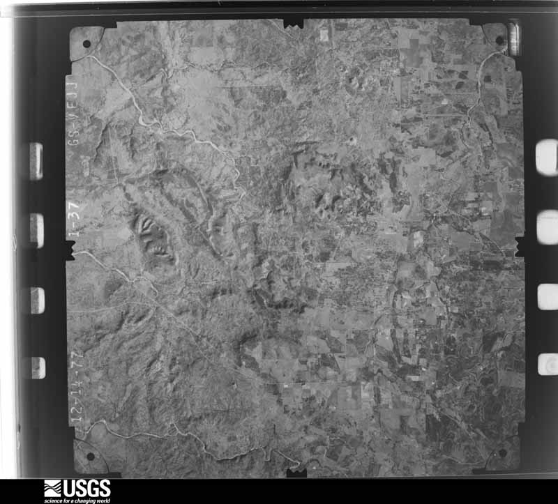
Flown by the U.S. Geological Survey between 1937 and 1989, the Aerial Photo Single Frames collection is the definitive mid-century view of the land: fields, roads and rivers as the camera saw them. The Survey holds 601 frames inside the rectangle that bounds this county; the 24 frames below were taken over the county itself, chosen across the decades of flights (at most four a year from that rectangle), so one flight cannot crowd out the rest. The full set is free to browse and download at EarthExplorer under the dataset Aerial Photo Single Frames.





The thermometers that kept this county's weather, and the gages that measured the flow of its streams, as the federal records hold them. The extremes below are measured values from those records, not estimates.
Who lived here in 1950, one enumeration district at a time, as the Census Bureau described each district. Each row opens its official National Archives result, with Population Schedules and ED Maps available there.
Every wildfire the federal occurrence database records inside this county: 1,049 of them, burning about 15,832 acres. 23 started naturally and 8 were recorded as arson. Each settlement page carries the fires within five miles of it.
| Reported cause | Fires |
|---|---|
| Debris and open burning | 642 |
| Missing data/not specified/undetermined | 223 |
| Equipment and vehicle use | 107 |
| Natural | 23 |
| Power generation/transmission/distribution | 15 |
| Recreation and ceremony | 13 |
| Smoking | 10 |
| Arson/incendiarism | 8 |
| Misuse of fire by a minor | 8 |
The five largest, by the area the report gives. None of them was recorded as arson.
| Date | Cause | Size | Reported by | Name on the report |
|---|---|---|---|---|
| 12 February 2011 | Missing data/not specified/undetermined | 2,400 acres | Texas A & M Forest Service | DOSS FIRE |
| 22 December 2007 | Missing data/not specified/undetermined | 2,000 acres | Texas A & M Forest Service | WILLOW CITY |
| 29 June 2005 | Equipment and vehicle use | 650 acres | Texas A & M Forest Service | not named |
| 12 February 2011 | Missing data/not specified/undetermined | 600 acres | Texas A & M Forest Service | FREEDERICK FIRE |
| 11 April 2008 | Debris and open burning | 400 acres | Texas A & M Forest Service | not named |
| 23 July 2017 | Natural | 400 acres | Texas A & M Forest Service | US87S/LOWER WILLOW CREEK RD/BWORRELL |
| 25 February 2008 | Equipment and vehicle use | 328 acres | Texas A & M Forest Service | FIEDLER ROAD FIRE |
| 9 July 2011 | Debris and open burning | 275 acres | Texas A & M Forest Service | GINA ROAD FIRE |
Every settlement page carries the fires within five miles of it - see the settlement index below.
The NOAA Storm Events Database holds 396 reports for this county, causing 4 deaths, 14 injuries and about $5,226,250 in recorded property damage. Each settlement page carries the reports that name it.
| Kind of event | Reports |
|---|---|
| Hail | 225 |
| Flash Flood | 97 |
| Thunderstorm Wind | 56 |
| Tornado | 17 |
| Funnel Cloud | 1 |
The most serious of them, by death, then injury, then recorded damage. The accounts are quoted exactly as the forecast office filed them.
| When | Event | Place named | Harm | What the report says |
|---|---|---|---|---|
| November 2000 | Flash Flood | South Portion | 1 killed, 1 hurt, $10,000 | no account filed |
| November 2000 | Flash Flood | South Portion | 1 killed, 1 hurt, $10,000 | no account filed |
| March 2020 | Flash Flood | Morris Ranch | 1 killed, $10,000 | At 9:26 p.m. CDT Saturday, March 21, the Gillespie County Sheriff's Office and Fredericksburg Fire EMS responded to a report of a vehicle that had been swept away by fast-moving water at the Pedernales River crossing on Alfred Petsch Road. Upon arrival, it was determined that there had been four occupants in a vehicle, ages 36, 15, 14, and 13. Three people made it out of the vehicle safely but the 14-year-old was missing. Shortly after 11 p.m. CDT, the girl was located in the water about a mile from where the vehicle was. Emergency personnel began CPR and transported her to Hill Country Memorial Hospital where she was later pronounced dead. |
| May 2007 | Flash Flood | Fredericksburg | 1 killed | Continued periods of showers and thunderstorms through the nighttime hours produced general 3 to 4 inch rain amounts over much of Gillespie County. Amounts as high as 6 inches were reported near Willow City and also southwest of Fredericksburg. Most rural roads were closed through both the late evening and in the morning hours due to high water. A young man was swept away in his vehicle at a low water crossing on Goehmann Lane near Fredericksburg about 2100 CST. |
| October 2001 | Tornado (F3) | Stonewall | 5 hurt, $1,000,000 | The strongest of the Friday night tornadoes struck the town of Stonewall. This tornado, rated F3 on the Fujita Scale, was preceded by brief gusty winds of 30 to 40 miles per hour, very heavy rainfall and spotty .5-inch hail. The tornado formed around 830 pm CST near the intersection of Hahn Road and SH290. It moved north-northeastward for .75 miles, crossing SH290 and the Pedernales River. Just north of the river, it made a slight turn toward the east, now moving another mile toward the northeast. It crossed North River Road and continued over open country until it crossed Ranch Road 1623. After passing RR1623 for approximately .25 miles, it dissipated. The worst damage, F3 level, was to trees and homes between RR1623 and SH290, across the northwest and north central part of Stonewall. Ninety homes sustained damage with 6 destroyed. In addition, 7 mobile homes were destroyed and 20 damaged. Damage was also reported to 22 buildings. A two-story home had the entire second story destroyed, and a concrete building lost most of its walls and all of its roof. Other damage along the path typically included destroyed and damaged roofs and walls of homes and businesses as well as widespread damage to trees. The tornado path was approximately .25 miles in width and 2.5 miles in length. Although the tornado was not seen due to the late hour and darkness, residents did report that after heavy rain and hail, the wind became calm, and it was followed by a "roaring sound" so often reported in tornadoes. Five persons were injured with one man hospitalized as a result of the tornado. |
| November 2001 | Flash Flood | Countywide | 5 hurt, $80,000 | no account filed |
| December 1996 | Flash Flood | Central Portion | 1 hurt, $50,000 | no account filed |
| October 1996 | Flash Flood | Countywide | 1 hurt, $50,000 | no account filed |
| May 1999 | Tornado (F3) | Harper | $1,000,000 | no account filed |
| March 2012 | Flash Flood | Tivydale | $500,000 | Thunderstorms produced heavy rain that caused flash flooding. This closed roads south of Tivydale. |
| June 2005 | Thunderstorm Wind | Doss | $300,000 | Storms from a mesoscale complex that formed in the Texas Panhandle arrived in the Texas Hill Country shortly after midnight. The line stretched from Llano to Fredericksburg to Kerrville to Leakey and Rocksprings, moving toward the southeast with speeds varying at times from 25 to 45 mph. The most intense and widespread damage appeared to take place across Gillespie County. In the northwest part of the county several trees were blown over onto FM648 and blocked the road until they were removed. Minor damage was noted southeastward to near US290 where severe damage again was seen around the Gillespie County airport, just southwest of Fredericksburg. The roof was lifted off the airport terminal building with major water damage to the interior. A light standard was blown over just outside the terminal. Further down the runway the severe winds had blown in the doors of a hangar and had damaged five aircraft. One of the five was considered a total loss. The airport manager reported that it took him over 3 hours to drive the 8 miles to the terminal because so many roads were covered with debris and flood waters. This damage was due to thunderstorm winds with embedded downbursts as all of the damage was laid down pointing toward the southeast. Widespread minor damage to tree limbs and spotty severe damage continued along US290 from Fredericksburg to near Stonewall. It continued from Fredericksburg southwest to the Kerr County line and to the southeast along FM1347 beyond Cain City to near Luckenbach. Again all damaged trees and limbs were oriented toward the southeast indicated severe thunderstorm wind damage. |
| May 1976 | Tornado (F1) | not stated | $250,000 | no account filed |
| August 2007 | Flash Flood | Luckenback | $200,000 | The extremely heavy rainfall associated with the remains of Tropical Storm Erin moved into Gillespie County in the late afternoon, producing general 3 to 5 inch amounts. Highest were 9 inches at Cain City just south of Fredericksburg. Most roads in the southern and western part of the county were closed due to flooding. High water rescues were made on Bear Creek Road in the county and on East College Street and Goehmann Lane in Fredericksburg. US290 was blocked by the Pedernales River by early Friday morning and the LBJ Ranch was closed to visitors all day on Friday. |
| March 2005 | Hail | Fredericksburg | $200,000 | Large hail, propelled by 30 to 40 mph winds broke the windows of homes, dented vehicles, and damaged trees near Fredericksburg. |
| April 2020 | Tornado (EF1) | Fredericksburg | $100,000 | A tornado first touched ground near the Beyer Feed Store on the north side of Fredericksburg on Hwy 16. It moved northeast and caused tree damage and took down a power line off Knopp School Rd. and Quail Run Dr. From aerial images, there is significant tree damage in about a 150 yard wide path extending to Koennecke-Eckhardt Rd. The tornado continued moving northeast where it crossed Herber-Schaefer Rd. There was tree and roof damage at a residence on FM 1631. The tornado dissipated a short time later as it crossed Wahrmund-Ahrens Rd. The highest estimated wind speed was 100 mph and it was rated EF-1. |
| June 2007 | Thunderstorm Wind | Doss | $100,000 | Thunderstorm wind gusts estimated at 65 to 75 mph caused widespread damage across Gillespie County in the evening. Trees were reported to have been knocked over from Doss to Fredericksburg to Stonewall to Willow City. Almost all parts of the county were affected, with widespread roof damage and reports of farm machinery rolled and tossed by the storms. Power was out to over 2,000 persons for several hours. |
| May 2006 | Hail | Harper | $100,000 | Golfball-sized hail dented vehicle bodies, broke windows of cars and homes in the Harper area. |
| May 2006 | Thunderstorm Wind | Cherry Spg | $100,000 | Severe thunderstorm winds blew down trees and damaged buildings in the Cherry Spring area. The outer doors were reported to have been blown off a barn and the roof was lifted off a carport by the storms. |
| April 2004 | Thunderstorm Wind | Willow City | $100,000 | Severe thunderstorm winds damaged roofs of homes and knocked over trees near Willow City. A home weather station recorded wind gusts to 51 knots |
| August 2003 | Thunderstorm Wind | Willow City | $100,000 | As the line of thunderstorms associated with the late season cold front moved southward into Gillespie County, they produced severe winds that knocked over large trees and blew down power lines from Willow City southward to near Stonewall. Damage was also indicated to some roofs and homes, and one trailer east of Fredericksburg was overturned. Winds were estimated by residents of the area as approaching 100 mph. |
| May 2001 | Thunderstorm Wind | Fredericksburg | $100,000 | Severe thunderstorm winds blew roofs off homes. |
| June 1997 | Flash Flood | Countywide | $100,000 | no account filed |
| May 1999 | Thunderstorm Wind | Harper | $80,000 | no account filed |
| February 1998 | Thunderstorm Wind | Fredericksburg | $80,000 | no account filed |
| June 2003 | Flash Flood | North Portion | $50,000 | Thunderstorms began forming in South Central Texas late on the night of June 14 spread slowly westward. Storms began in Gillespie County near 0100CST with the general 1 to 2 inch amounts over the northern part of the county. The highest accumulations were between Fredericksburg and Doss, where isolated totals were near 6 inches. Flash flooding developed near 0100CST and ended near 0300CST. |
| April 1997 | Flash Flood | Countywide | $50,000 | Roads were reported closed due to high water and flash flooding as a result of up to 5 inches of rainfall across much of the county. |
| September 1993 | Thunderstorm Wind | Fredricksburg | $50,000 | The sheriff's office and HAMM operators reported power lines down and roof damage in several locations. |
| October 2001 | Thunderstorm Wind | Fredericksburg | $50,000 | no account filed |
| July 2000 | Thunderstorm Wind | Fredericksburg | $30,000 | Severe thunderstorm winds uprooted several trees. |
| August 2001 | Flash Flood | Southeast Portion | $30,000 | no account filed |
| May 1997 | Flash Flood | Countywide | $30,000 | no account filed |
| March 2001 | Flash Flood | Northeast Portion | $25,000 | no account filed |
| April 1998 | Thunderstorm Wind | Fredericksburg | $25,000 | no account filed |
| September 2011 | Thunderstorm Wind | Doss | $20,000 | A thunderstorm produced wind gusts estimated at 58 mph which blew down a farm building northwest of Fredericksburg. |
| April 2009 | Thunderstorm Wind | Cave Creek | $20,000 | Numerous trees were blown down across a fairly large area a few miles northeast of Stonewall. Most of the heaviest tree damage was found just north of Ranch Road 2721. |
| September 2000 | Thunderstorm Wind | Fredericksburg | $20,000 | Severe thunderstorm winds blew down several trees. |
| June 1999 | Flash Flood | Countywide | $20,000 | no account filed |
| February 1997 | Flash Flood | Countywide | $20,000 | no account filed |
| June 1997 | Flash Flood | Countywide | $15,000 | no account filed |
| March 1997 | Flash Flood | Countywide | $15,000 | no account filed |
| September 2014 | Thunderstorm Wind | Fredericksburg Arpt | $10,000 | A thunderstorm produced wind gusts estimated at 60 mph that blew part of the roof off of a restaurant along with downing numerous trees in Fredericksburg. |
| February 2003 | Flash Flood | Countywide | $10,000 | Numerous roads across the county were closed through the early morning hours as a result of general 1 to 2 inch rainfall over already saturated soils. |
| August 2003 | Flash Flood | Southeast Portion | $10,000 | A tropical wave moved inland along the mid Texas Coast late on August 25 and continued westward to into the Texas Hill Country on the following day. Scattered showers and thunderstorms developed in the morning and persisted through the afternoon. The highest rain totals were concentrated in Gillespie County, which received a general 1 inch rain, with isolated totals of up to 4inches in the southeast part of the county. Brief flash flooding took place in the late afternoon. |
| June 2002 | Flash Flood | Southeast Portion | $10,000 | General 2 to 3 inch rainfall totals with isolated amounts of up to 6 inches. |
| October 2002 | Flash Flood | Southwest Portion | $10,000 | Scattered thunderstorms through the evening hours over southwestern Gillespie County produced general 1 to 2 inch rainfall with isolated totals to 4 inches. Flash flooding forced the closing of roads in the southwestern part of the county through the late evening hours. |
| February 2000 | Thunderstorm Wind | Stonewall | $10,000 | Severe winds blew over several trees in Stonewall. |
| October 1998 | Flash Flood | Countywide | $10,000 | no account filed |
| June 1997 | Flash Flood | Countywide | $10,000 | no account filed |
| June 2023 | Thunderstorm Wind | Fredericksburg | $5,000 | A thunderstorm produced wind gusts estimated at 70 mph northeast of Fredericksburg. The wind tore a large portion of a tin roof off a metal building and blew it 200 to 300 feet away. |
| June 2023 | Thunderstorm Wind | Fredericksburg | $5,000 | A thunderstorm produced wind gusts estimated at 70 mph that downed several trees and tree branches between N. Acorn St. and N. Kay St. in Fredericksburg. |
| June 2003 | Flash Flood | Southwest Portion | $5,000 | A line of showers and thunderstorms formed along a late-season cold front and moved into the Texas Hill Country in the late afternoon. The storms produced rainfall amounts averaging between 1 and 2 inches over the southern part of Gillespie County, with isolated totals of up to 3 inches in the southwest part of the county. Brief flash flooding took place in the early evening. |
| May 1994 | Thunderstorm Wind | Countywide | $5,000 | Up to three inches of rain fell in a 45-minute period. Ham Radio operators reported flash flooding along the Pedernales River near Harper. Hams also reported widespread street flooding in Fredericksburg with numerous cars stranded. Highway 16 was also closed 10 miles north of Frederickburg due to high water. High winds also knocked over several trees, tore off tree limbs, overturned a mobile home, and caused roof damage across the county. |
| November 2000 | Flash Flood | Countywide | $5,000 | no account filed |
| March 1999 | Flash Flood | Countywide | $5,000 | no account filed |
| February 2003 | Flash Flood | Southwest Portion | $3,000 | Rainfall of up to 3 inches across the southwest portion of Gillespie County caused flash flooding to develop very quickly over the area. The flooding was brief, ending just before midnight. |
| October 1996 | Flash Flood | Countywide | $3,000 | no account filed |
| May 1976 | Tornado (F1) | not stated | $2,500 | no account filed |
| January 1973 | Tornado (F1) | not stated | $2,500 | no account filed |
| May 1972 | Tornado (F1) | not stated | $2,500 | no account filed |
| May 1970 | Tornado (F2) | not stated | $2,500 | no account filed |
The Survey's mineral resources record lists 17 workings inside this county. 12 still produce and 5 are closed or unrecorded. Each settlement page carries the workings within five miles of it.
| Commodity | Workings |
|---|---|
| Sand and Gravel, Construction | 5 |
| Stone, Crushed/Broken | 3 |
| Stone, Dimension | 2 |
| Talc-Soapstone | 2 |
| Gypsum-Anhydrite | 2 |
| Stone | 1 |
| Barium-Barite | 1 |
| Feldspar | 1 |
The least common of them first, because a county's hundredth gravel pit says nothing its first ten did not.
| Where | Site | Commodity | Status | Recorded |
|---|---|---|---|---|
| Althaus Mine | Feldspar | Past Producer | Feldspar | |
| Davis Ranch Prospect | Barium-Barite | Occurrence | Barite | |
| Unnamed Quarry | Stone | Producer | Serpentine | |
| Bear Mountain Quarry | Stone, Dimension | Producer | Granite | |
| Big Branch Area | Talc-Soapstone | Past Producer | Metamorphic | |
| Cherry Mountain Mine | Gypsum-Anhydrite | Producer | ||
| Doebblers Quarry | Stone, Dimension | Producer | Limestone | |
| Legion Creek Area | Talc-Soapstone | Past Producer | Metamorphic | |
| Standard Gypsum Co. Plant | Gypsum-Anhydrite | Producer | ||
| Cactus Canyon Quarries Operation | Stone, Crushed/Broken | Producer | ||
| Doebblers Quarry | Stone, Crushed/Broken | Producer | ||
| Red Granite Division | Stone, Crushed/Broken | Producer | ||
| Boenes Pits & Plant | Sand and Gravel, Construction | Producer | ||
| Mollendorf and Son Sand Pit | Sand and Gravel, Construction | Producer | ||
| Palo Alto Creek Pit & Plant | Sand and Gravel, Construction | Producer | ||
| Weirch Bros Behrends Pit | Sand and Gravel, Construction | Past Producer | ||
| Wunderlich Ready Mix Sand Pit | Sand and Gravel, Construction | Producer |
Named settlements recorded in the Geographic Names Information System, each with the topographic sheets covering it. Villages, hamlets and abandoned places alike. Each is shown with the nearest named watercourse or landform and the survey quadrangle it falls on.
Stonewall census division · 78671 · On West Fork Williams Creek · Hye quadrangle
13 sheets, 1894 to 1985
Stonewall census division · 78624 · On South Grape Creek · Stonewall quadrangle
13 sheets, 1894 to 1985
Fredericksburg census division · 78624 · On Cherry Mountain · Cherry Mountain quadrangle
11 sheets, 1894 to 1985
Stonewall census division · 78624 · On Land Creek · Crabapple quadrangle
12 sheets, 1894 to 1985
Stonewall census division · 78675 · On South Branch Willow Creek · Willow City quadrangle
12 sheets, 1894 to 1985
Fredericksburg census division · 78624 · On Winfried Creek · Fredericksburg East quadrangle
12 sheets, 1894 to 1985
Stonewall census division · 78624 · On School Creek · Cain City quadrangle
11 sheets, 1894 to 1985
Harper census division · 78631 · Near Rogers Draw · Harper East quadrangle
11 sheets, 1894 to 1985
Stonewall census division · 78624 · On Snake Creek · Cain City quadrangle
11 sheets, 1894 to 1985
Harper census division · 78624 · On Spring Creek · Morris Ranch quadrangle
11 sheets, 1894 to 1985
Stonewall census division · 78624 · On Salt Branch · Cain City quadrangle
11 sheets, 1894 to 1985
Stonewall census division · 78671 · On Salt Branch · Stonewall quadrangle
13 sheets, 1894 to 1985
Harper census division · 78624 · On Devils Creek · Roundhead quadrangle
11 sheets, 1894 to 1985
Stonewall census division · 78624 · On Knott Branch · Willow City quadrangle
12 sheets, 1894 to 1985