 Block
BlockFrom the record
1 National Register listing published here.
Sources: the National Register database, National Park Service
24 topographic sheets cover 5 settlements here, and 1 property is on the National Register of Historic Places.
1 National Register listing published here.
Sources: the National Register database, National Park Service
Every property in this county listed on the National Register of Historic Places, with the year it was listed and the federal nomination document.
| Photograph | Property | Type | Listed | Reference |
|---|---|---|---|---|
 | Glasscock County Courthouse and Jail | building | 2011 | 11000129 |
Drawn when these were printed as single large sheets: the town seen from the air, and the county divided into its farms with every owner named. Each opens the original at the Library of Congress.
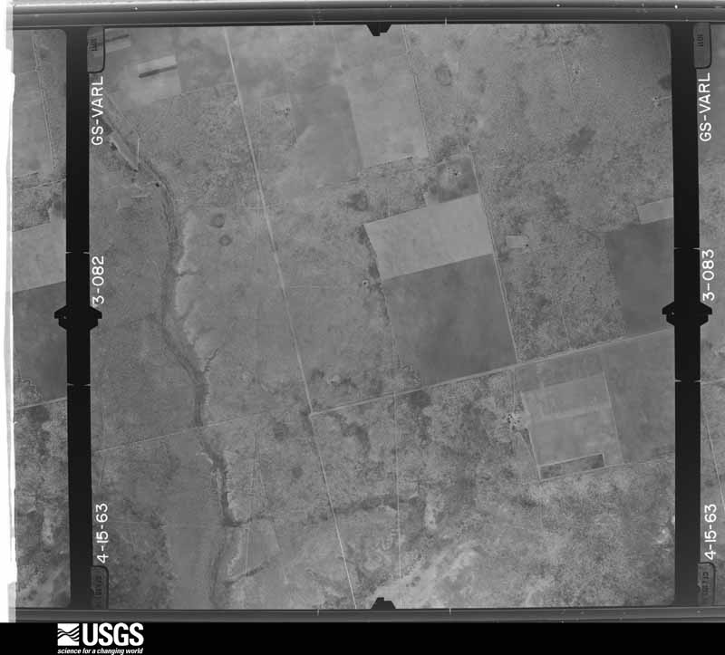
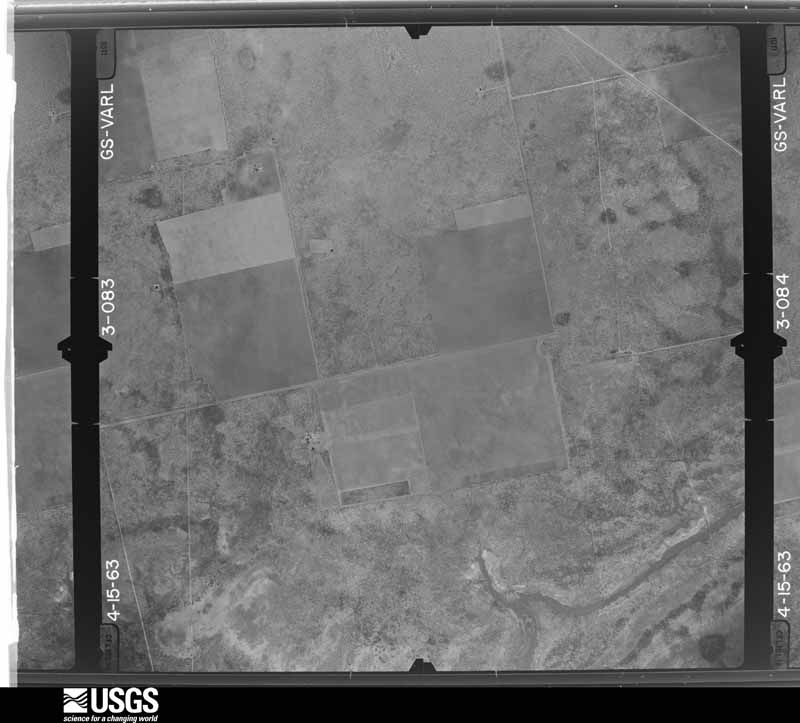
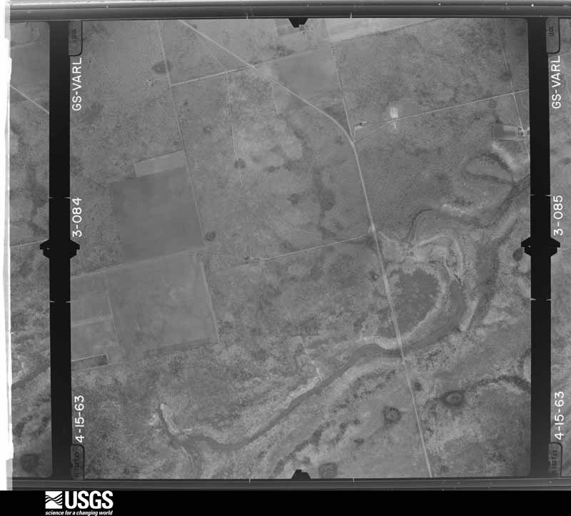
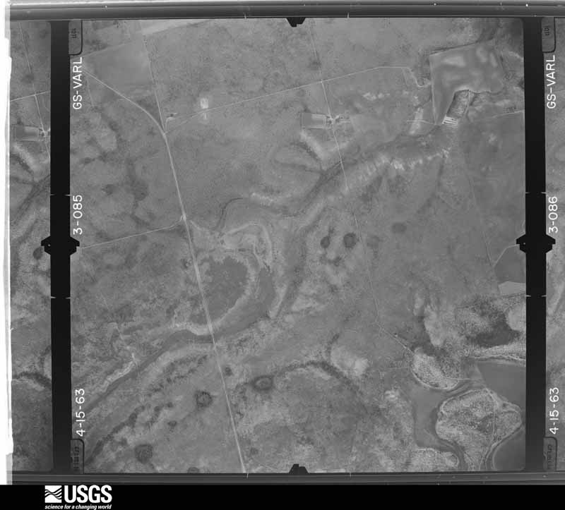
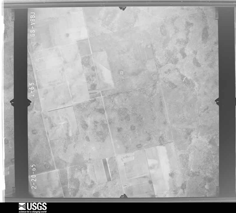
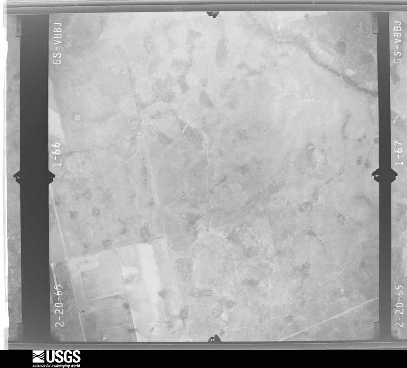
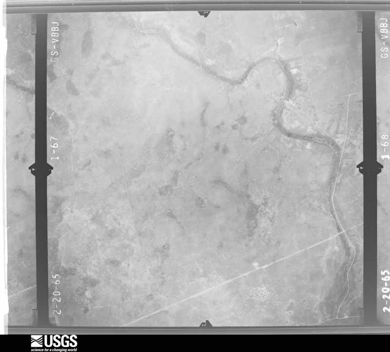
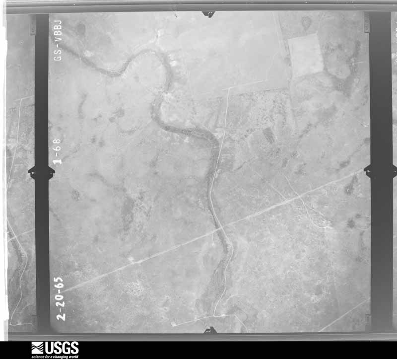
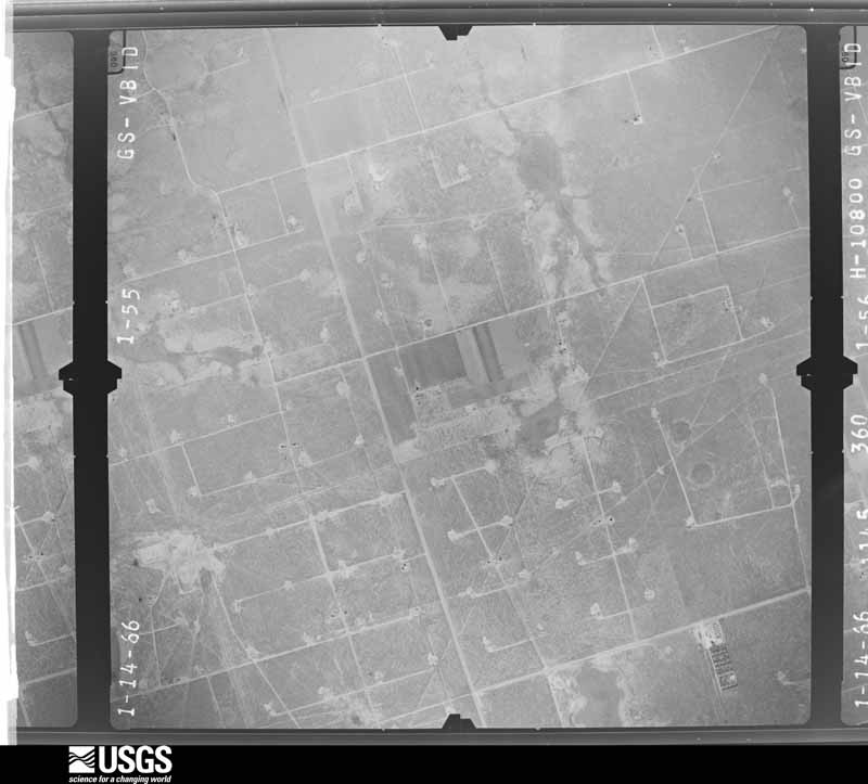
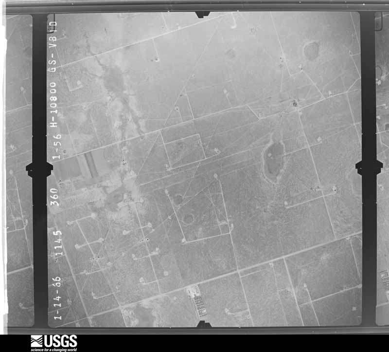
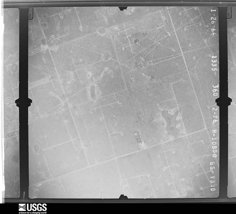
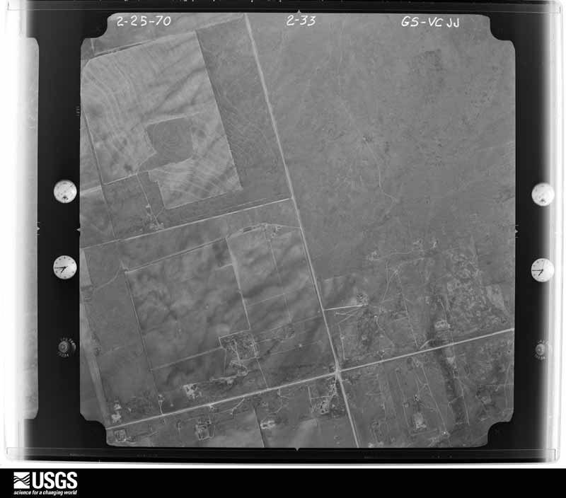
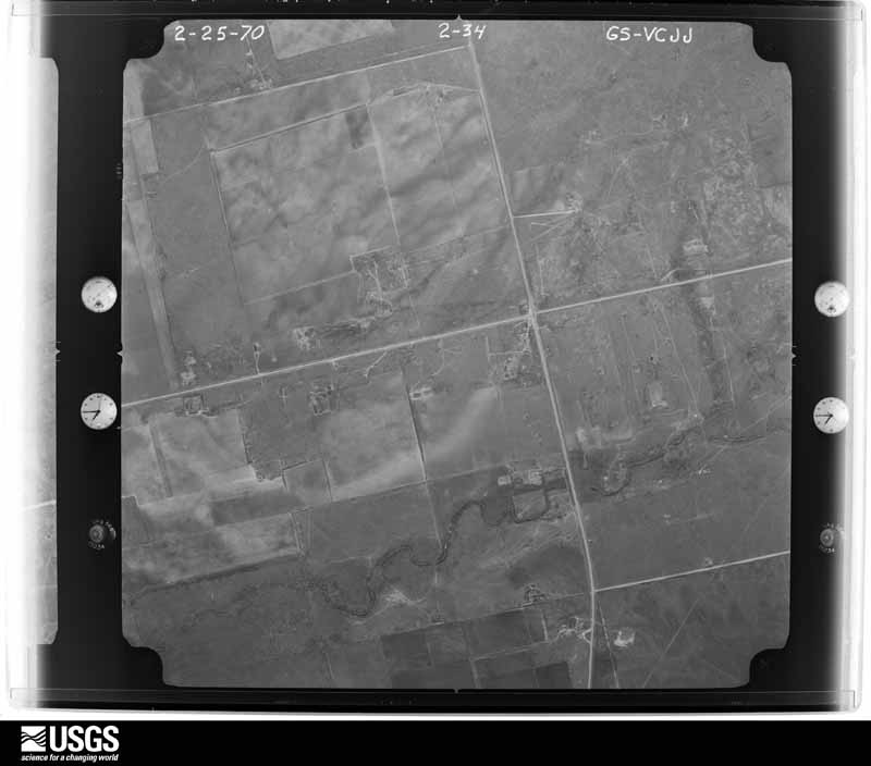
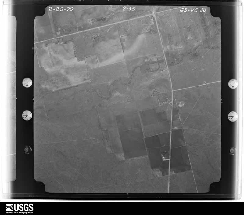
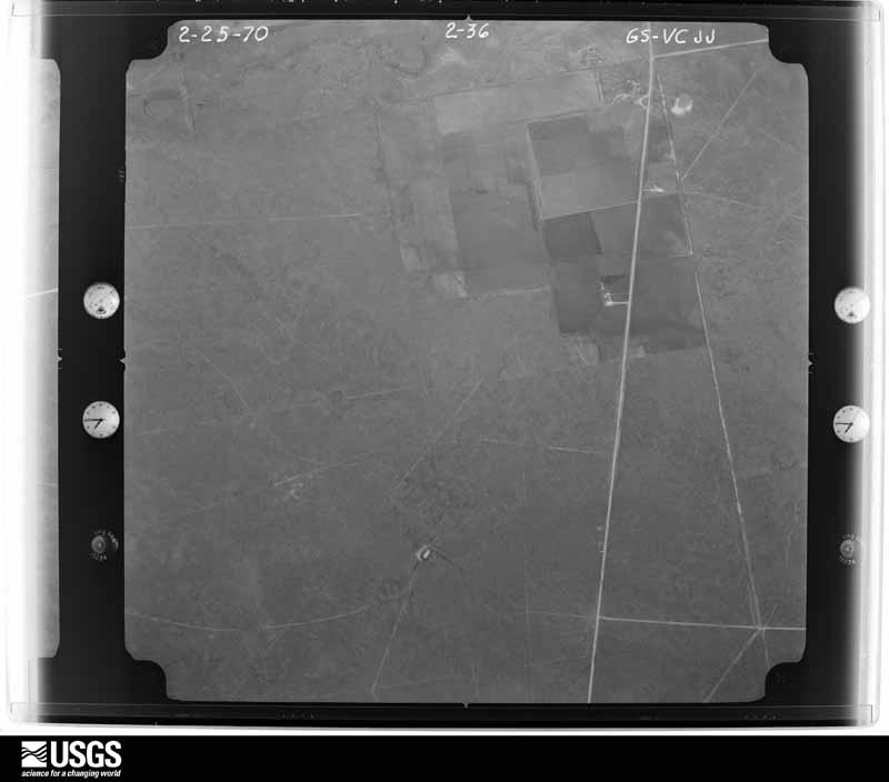
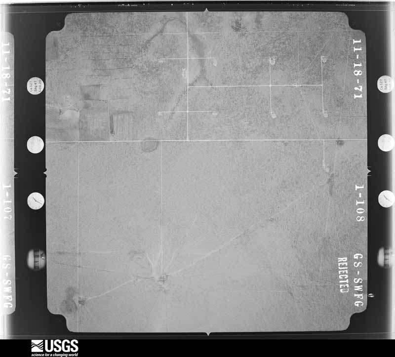
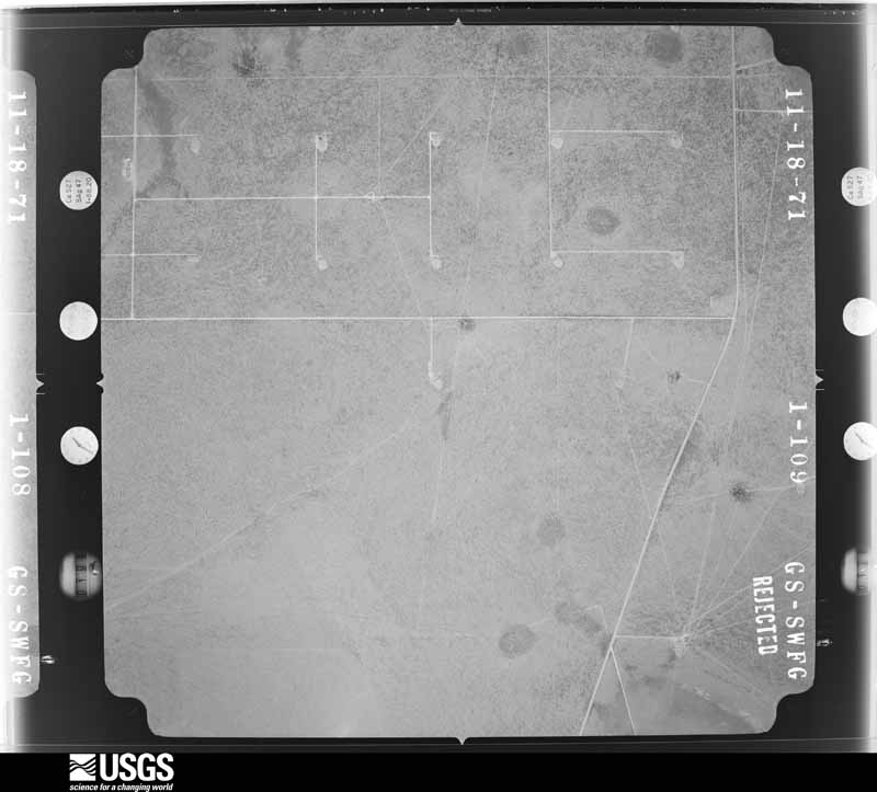
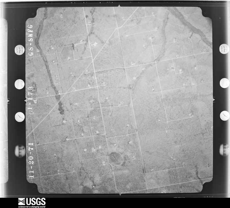
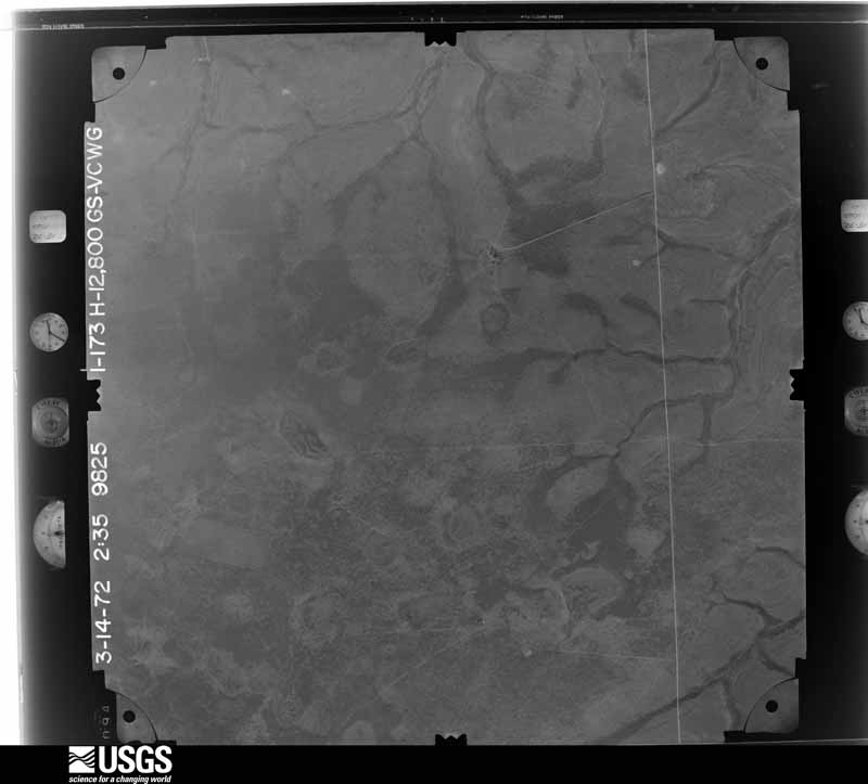
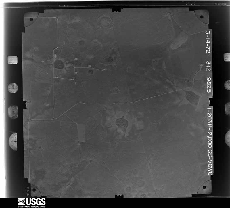
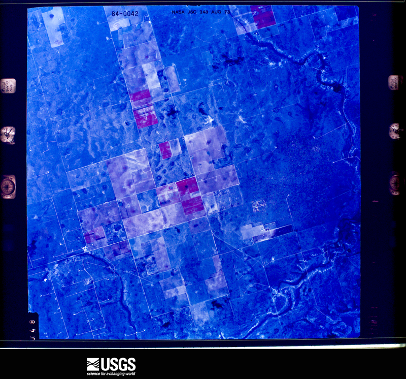
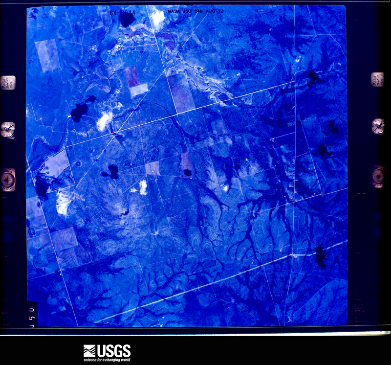
Flown by the U.S. Geological Survey between 1937 and 1989, the Aerial Photo Single Frames collection is the definitive mid-century view of the land: fields, roads and rivers as the camera saw them. The Survey holds 685 frames inside the rectangle that bounds this county; the 32 frames below were taken over the county itself, chosen across the decades of flights (at most four a year from that rectangle), so one flight cannot crowd out the rest. The full set is free to browse and download at EarthExplorer under the dataset Aerial Photo Single Frames.










The thermometers that kept this county's weather, as the federal records hold them. The extremes below are measured values from those records, not estimates.
Who lived here in 1950, one enumeration district at a time, as the Census Bureau described each district. Each row opens its official National Archives result, with Population Schedules and ED Maps available there.
Every wildfire the federal occurrence database records inside this county: 41 of them, burning about 11,994 acres. 5 started naturally and 1 was recorded as arson. Each settlement page carries the fires within five miles of it.
| Reported cause | Fires |
|---|---|
| Missing data/not specified/undetermined | 14 |
| Power generation/transmission/distribution | 9 |
| Equipment and vehicle use | 9 |
| Natural | 5 |
| Debris and open burning | 2 |
| Misuse of fire by a minor | 1 |
| Arson/incendiarism | 1 |
The five largest, by the area the report gives. None of them was recorded as arson.
| Date | Cause | Size | Reported by | Name on the report |
|---|---|---|---|---|
| 7 April 2011 | Natural | 3,200 acres | Texas A & M Forest Service | TURNER FIRE |
| 3 June 2011 | Natural | 2,500 acres | Texas A & M Forest Service | SHERROD FIRE |
| 6 April 2006 | Missing data/not specified/undetermined | 2,000 acres | Texas A & M Forest Service | FORSAN #2 |
| 6 April 2011 | Natural | 1,200 acres | Texas A & M Forest Service | WAYMON FIRE |
| 11 July 2019 | Power generation/transmission/distribution | 600 acres | Texas A & M Forest Service | PAUL SCHWARTZ |
| 2 September 2019 | Missing data/not specified/undetermined | 500 acres | Texas A & M Forest Service | RADIO TOWER RD |
| 2 May 2020 | Equipment and vehicle use | 400 acres | Texas A & M Forest Service | SB HWY 87 & PASS 821 |
| 6 April 2011 | Power generation/transmission/distribution | 350 acres | Texas A & M Forest Service | 821 & 587 |
Every settlement page carries the fires within five miles of it - see the settlement index below.
The NOAA Storm Events Database holds 273 reports for this county, causing 1 death, 2 injuries and about $1,514,060 in recorded property damage. Each settlement page carries the reports that name it.
| Kind of event | Reports |
|---|---|
| Hail | 155 |
| Thunderstorm Wind | 64 |
| Tornado | 25 |
| Flash Flood | 25 |
| Funnel Cloud | 3 |
| Lightning | 1 |
The most serious of them, by death, then injury, then recorded damage. The accounts are quoted exactly as the forecast office filed them.
| When | Event | Place named | Harm | What the report says |
|---|---|---|---|---|
| June 1989 | Thunderstorm Wind | not stated | 1 killed, 1 hurt | no account filed |
| March 2000 | Thunderstorm Wind | St Lawrence | 1 hurt, $20,000 | The Rear-flank downdraft from the tornadic supercell overturned 3 small trailers at one property. Winds hit from the northwest. |
| March 2000 | Flash Flood | Countywide | $400,000 | no account filed |
| October 2009 | Thunderstorm Wind | St Lawrence | $160,000 | Damaging winds, estimated to be near 80 mph and measured at 73 mph by a local resident, first snapped power poles near State Highway 137 over extreme northwestern Reagan County Texas around 1740 CST. As the storm progressed north northeastward, a residence along State Highway 137 (just south of the county line) also sustained damage to its property near 1745 CST. Numerous tree branches, some 8 to 12 inches in diameter, were snapped. Two windows on the southwest corner of the home were also broken by the strong winds, and a windmill near the back of the home was bent in half. From 1810 to 1820 CST, the storm continued north northeastward and snapped/downed multiple power poles. The most significant damage caused by the storm was at a residence along Farm Road 2401 about 1 mile east of the SH137/FM2401 intersection. Here, large pine tree branches about one foot in diameter were snapped near the top of the tree. A large A-frame metal barn was also heavy damaged, with both doors bent from a south to north direction. The winds funneled through this structure and pushed a 4 ton trailer about 60 feet outside of the building. This was near the end of the damage path around 1820 CST. Overall, 60 or more power poles were damaged during this event. |
| May 2016 | Tornado (EF2) | Garden City | $107,000 | A thunderstorm moved across Glasscock County and produced a tornado near Garden City. This tornado developed around 8:56 pm CDT, just over 1.5 miles north northwest of Garden City. This tornado produced a combination of EF-1 and EF-2 damage at two residences. A single-wide manufactured home at Home #1 was rolled and destroyed. This was indicative of damage produced by a tornado of EF-2 intensity. As the tornado moved southwestward and impacted Home #2, a combination of EF-1 and EF-2 damage was noted. Tree damage was indicative of EF-1, while the metal barn appears to have sustained lower-end EF-2 damage. It is noted however that the barn construction made it more susceptible to wind entering the structure, which could have resulted in damage at a lower wind threshold. Wind speeds are estimated at 100-115 mph with this damage.||As the tornado moved southwestward, it was the opinion of the assessment team that the tornado intensified. At approximately 9:01 pm CDT, the tornado knocked over a 320 type pump jack west of County Road 417. With this slightly smaller pump jack type, it was felt that winds in the 120-135 mph range could potentially produce this damage. Thus, the tornado was rated as being a high-end EF-2 intensity. Oil field workers noted that there was damage over open fields farther to the southwest. Using radar estimates, the team concluded that this tornado dissipated at 9:02 pm CDT just short of reaching Highway 158, 1.5 miles west of Garden City. The total path length for tornado #7 was 1.9 miles with its greatest width estimated at 150 yards. The cost of damage is a very rough estimate. |
| April 2015 | Lightning | Garden City | $100,000 | A thunderstorm moved across Glasscock County and lightning struck and caused a tank battery fire near Garden City. The cost of damage is a very rough estimate. There were no injuries reported. |
| May 2022 | Thunderstorm Wind | Garden City | $90,000 | A thunderstorm produced wind damage in Garden City as well as across portions of Glasscock County. This damage included multiple downed power poles, uprooted trees, shingles and roof damage, and numerous cases of wind-driven hail damage. Given that damage was all found oriented in a similar direction across the surveyed area, the damage was determined to be caused by strong downdraft winds. The cost of damage is a very rough estimate. |
| May 2022 | Tornado (EF2) | Garden City | $83,000 | A thunderstorm produced a tornado near State Highway 158 in Glasscock County. This tornado crossed State Highway 158 and lasted about fifteen minutes before dissipating after crossing County Road 130. Power poles were snapped and completely blown over in the opposite direction along Highway 158. A narrow swath of power poles were snapped along County Road 110 and a lone power pole was snapped off County Road 130. Video evidence from Highway 158 shows this tornado was multi-vortex with three to four ground circulations evident. The tornado likely touched down multiple times along the path. The path length and location are estimated by radar and power pole damage locations. The path width is unknown. The cost of damage is a very rough estimate. |
| June 2002 | Thunderstorm Wind | St Lawrence | $80,000 | Law officials reported approximately twenty power poles blown down by severe thunderstorm winds. |
| October 2009 | Hail | St Lawrence | $60,000 | A Texas Tech Mesonet extension agent reported tennis ball size hail and extensive hail damage to sorghum and cotton crops near the area. Public reports indicated over 4500 acres of cotton were destroyed by the hail. In addition, 1000 acres of sorghum were destroyed. Several homes also sustained roof damage from the large hail. |
| March 2017 | Tornado (EF2) | St Lawrence | $50,000 | A tornado formed along Farm to Market Road 2401. The tornado was narrow, 50 to 75 yards wide, and moved almost parallel and just south of FM 2401 during a 1.8 mile stretch before weakening somewhere near Highway 137. A small barn or outbuilding was destroyed by the tornado at approximately 7:28 pm. One wall of the structure remained. This type of damage is indicative of EF-1 damage with winds of approximately 100 to 110 mph. Pieces of the metal roof were blown northeastward across FM 2401 into an open field. Two silos/storage tanks were also displaced from their original locations. There was a stretch of 32 power poles that were snapped off within a few feet of the ground which is indicative of low-end EF-2 damage. Wind speeds necessary to produce this type of damage are estimated at around 120 mph. This tornado was rated as an EF-2. The cost of the damage is a very rough estimate. |
| May 2016 | Tornado (EF3) | Garden City | $45,000 | A thunderstorm moved across Glasscock County and produced a tornado near Garden City. This tornado developed just west of Ranch Road 33, four miles north northwest of Garden City around 8:42 pm CDT. The tornado moved southward, knocking over a 640 type pump jack located approximately two and a quarter miles north of Garden City. This type of occurrence is associated with wind speeds in the 140-160 mph range. Thus, the tornado has been rated as briefly reaching EF-3 intensity. Broken tree limbs were observed by the assessment team two miles north of Garden City, just west of Ranch Road 33. This damage indicator suggested the tornado had weakened to EF-1 intensity at that point. This weakening trend coincided with the tornado taking a more southeast track as it crossed Ranch Road 33. The tornado dissipated at 8:54 pm CDT, two miles north of Garden City. In total, the tornado traveled a 3.7 mile path and had an estimated width of 200 yards. The cost of damage is a very rough estimate. |
| March 2004 | Tornado (F0) | Garden City | $40,000 | A delayed report from a local farmer indicated that a tornado tracked across his property in southeastern Glasscock County. A shed was destroyed and the rafters of a large barn were broken by the tornadic winds. In addition, four utility poles were snapped. The farmer described a well-defined and narrow path through shredded mesquite trees in his pasture. |
| March 2000 | Tornado (F1) | St Lawrence | $40,000 | Tornado continued from northern Reagan County. A string of 12 utility poles was knocked down on FM 2401, an abandoned house lost part of its roof, and 6 more poles were knocked down on Ranch Road 33. The tornado apparently dissipated just after knocking down the last set of poles. The entire path length of the tornado was 12 miles. |
| September 2002 | Thunderstorm Wind | Countywide | $35,000 | The local utility company reported that powerlines were blown down across a large part of Glasscock County. |
| June 2020 | Thunderstorm Wind | Garden City | $30,000 | A thunderstorm moved across Glasscock County and produced wind damage twelve miles north of Garden City. A roof was blown off, a porch was destroyed, and a fence was blown down. The cost of damage is a very rough estimate. |
| May 2019 | Thunderstorm Wind | Garden City | $25,000 | A thunderstorm moved across Glasscock County and produced wind damage 13 miles west of Garden City. Several power poles were blown down along State Highway 158 at State Highway 137. The cost of damage is a very rough estimate. |
| July 2015 | Thunderstorm Wind | Lees | $20,000 | Law enforcement reported that 10 power poles had been snapped near Lees by winds produced from thunderstorms in Glasscock County. The wind speed and cost of damage are a rough estimate. |
| June 2007 | Thunderstorm Wind | Garden City | $20,000 | Extensive tree damage occurred with this storm including many six inch diameter mesquite branches broken and a ten inch diameter tree that broke about four feet off the ground. A windmill also was uprooted including the concrete base pulled out of the ground. Seven power poles were snapped at various heights. One pole was broken in two spots. |
| May 2016 | Tornado (EF2) | Lees | $15,000 | A thunderstorm moved across Glasscock County and produced a tornado near Lees, TX. This tornado developed at 7:55 pm CDT, approximately four miles southwest of Lees, north of Hillger Road. The tornado, estimated at 200 yards wide, snapped 14 power poles along Hillger Road as it moved slowly southeast. With the poles being snapped approximately five feet off the ground, wind speeds were estimated at about 115 mph, indicating a lower-end EF-2 tornado intensity. There was also a nearby metal building just south of Hillger Road which sustained a loss of metal roof panels due to the tornado. Wind speeds at this location were estimated at 90-100 mph, indicating EF-1 intensity. As it weakened in intensity, this slow moving tornado made an abrupt turn to the northeast and dissipated at 8:07 pm CDT near the intersection of Hillger Road and Ranch Road 33. The cost of damage is a very rough estimate. |
| June 2014 | Hail | Garden City | $15,000 | A thunderstorm moved across Glasscock County and produced golfball sized hail near Garden City. This hail caused significant car damage. The cost of damage is a rough estimate. |
| June 2008 | Thunderstorm Wind | Garden City | $15,000 | A fence was blown down and power was lost in Garden City. |
| August 2002 | Thunderstorm Wind | Garden City | $10,000 | A trained spotter reported hail up to the size of baseballs with damaging winds blowing down trees and power lines. |
| May 1996 | Thunderstorm Wind | St Lawrence | $10,000 | no account filed |
| September 2023 | Thunderstorm Wind | Lees | $5,000 | A fence was reported blown down with an RV shifted due to strong winds. Wind speeds were estimated to be 80 mph. Property damage cost is an estimation. |
| October 2018 | Flash Flood | Garden City | $5,000 | Heavy rain fell across Glasscock County and produced flash flooding west of Garden City. There was road flooding just to the north of Highway 158 on Highway 137. Numerous water crossings were coming up over the road. This forced the closure of the road. |
| March 2017 | Thunderstorm Wind | Lees | $5,000 | A thunderstorm moved across Glasscock County and produced wind damage in the northeast part of the county. Five power poles were blown down along Highway 87. The cost of damage is a very rough estimate. |
| June 2006 | Thunderstorm Wind | Garden City | $5,000 | The public reported that winds had damaged windmills, irrigation pivots, and had blown a tractor over north of Garden City. |
| May 1999 | Hail | Garden City | $5,000 | Hail broke out windows in vehicles on State Highway 158. |
| July 1994 | Thunderstorm Wind | Garden City | $5,000 | no account filed |
| March 2017 | Thunderstorm Wind | Garden City | $3,000 | A thunderstorm moved across Glasscock County and produced wind damage northwest of Garden City along Farm to Market Road 415. Power poles were blown down along this road. The cost of damage is a very rough estimate. |
| April 2009 | Tornado (EF0) | Garden City | $3,000 | A trained spotter reported a brief tornado approximately 5 TO 8 miles southeast of the intersection of FM 1379 and TX 158 at 1756 CST. A damage survey was conducted, which confirmed one power pole was snapped near its base and another one was damaged along TX 158. Some minor tree limb damage was also noted near the same area. Please see the attached image. |
| March 2007 | Thunderstorm Wind | Garden City | $2,000 | A trailer house at a drilling rig location north of Garden City on Farm to Market Road 33 was blown over. |
| March 2000 | Hail | Garden City | $2,000 | Hail broke car windows. |
| October 2018 | Flash Flood | Garden City | $1,000 | Heavy rain fell across Glasscock County and produced flash flooding about 26 miles east southeast of Midland. The public reported one foot of water running over Private Road 4281. |
| May 2006 | Thunderstorm Wind | Lees | $1,000 | A NWS cooperative observer reported many limbs broken off trees at her property as well as some tin that was blown off her barn roof. |
| May 2000 | Thunderstorm Wind | Garden City | $1,000 | Damage to ranch house, trees down. 5 miles north of Highway 137 & 158 intersection. |
| May 2020 | Thunderstorm Wind | St Lawrence | $500 | A thunderstorm moved across Glasscock County and produced wind damage in St. Lawrence. Doors were ripped off of a metal barn. The wind speed was estimated at 65 to 70 mph. The time was estimated by radar. The cost of damage is a very rough estimate. |
| October 1994 | Hail | Garden City | $500 | no account filed |
| May 1982 | Tornado (F0) | not stated | $30 | no account filed |
| June 1982 | Tornado (F0) | not stated | $30 | no account filed |
| May 2025 | Thunderstorm Wind | St Lawrence | - | A maximum wind gust of 70 MPH was measured at the West Texas Mesonet site, 5 SW Saint Lawrence. |
| May 2025 | Hail | St Lawrence | - | A report was received from the public of hen egg-size hail near RM 33, south of Garden City. |
| May 2025 | Hail | St Lawrence | - | A report was received from the public of golf ball-size hail a few miles southeast of Garden City. Occasionally larger hailstones were observed, albeit infrequently. |
| May 2025 | Thunderstorm Wind | St Lawrence | - | The West Texas Mesonet station at 5S 5SW St. Lawrence recorded a 65 mph wind gust, along with a few other gusts around 60 mph. |
| June 2025 | Thunderstorm Wind | St Lawrence | - | The West Texas Mesonet station 5 SW Saint Lawrence measured a 64 mph wind gust. |
| June 2025 | Hail | Lees | - | Ping pong ball-size hail was reported by the public just south of Forsan. The time of occurrence is estimated by radar. |
| June 2025 | Hail | Garden City | - | Ping pong ball-size hail was reported by a storm chaser about 8 miles east of Garden City. The time of occurrence is estimated by radar. |
| June 2025 | Hail | Garden City | - | A storm chaser reported quarter-size hail falling near Garden City. The time of occurrence is estimated by radar. |
| June 2025 | Hail | Garden City | - | Law enforcement in Garden City reported ping pong ball-size hail. The time of occurrence is estimated by radar. |
| June 2025 | Thunderstorm Wind | St Lawrence | - | The West Texas Mesonet station near St. Lawrence, TX recorded a 64 mph wind gust, along with a couple of other severe gusts. |
| April 2025 | Hail | St Lawrence | - | Ping pong ball-sized hail reported by NWS employee about 5 miles ENE of Saint Lawrence. Time is estimated from radar. |
| April 2025 | Hail | Lees | - | A report from the public shared photos of quarter-sized hail from northeast Glasscock County. The hail was reported to have lasted 13 minutes. Time is estimated from radar. |
| April 2025 | Hail | Lees | - | Public report of golf ball-sized hail off of US Highway 87. Time is estimated from radar. |
| October 2025 | Thunderstorm Wind | St Lawrence | - | The West Texas Mesonet station 55 5SW St. Lawrence measured a 60 mph wind gust. |
| April 2024 | Hail | Garden City | - | Time and location were estimated. |
| May 2022 | Thunderstorm Wind | St Lawrence | - | A thunderstorm produced a 60 mph wind gust at the Mesonet site near Saint Lawrence. |
| June 2022 | Thunderstorm Wind | St Lawrence | - | A thunderstorm produced a 58 mph wind gust at the Mesonet site near Saint Lawrence. |
| August 2021 | Thunderstorm Wind | St Lawrence | - | A thunderstorm moved across Glasscock County and produced a 64 mph wind gust. |
| August 2020 | Thunderstorm Wind | Garden City | - | A thunderstorm moved across Glasscock County and produced a 61 mph wind gust as measured by the mesonet. |
The Survey's mineral resources record lists 1 working inside this county. It is closed or unrecorded. Each settlement page carries the workings within five miles of it.
| Commodity | Workings |
|---|---|
| Sulfur | 1 |
The least common of them first, because a county's hundredth gravel pit says nothing its first ten did not.
| Where | Site | Commodity | Status | Recorded |
|---|---|---|---|---|
| Mustang Draw Prospect | Sulfur | Prospect | 1982 |
Named settlements recorded in the Geographic Names Information System, each with the topographic sheets covering it. Villages, hamlets and abandoned places alike. Each is shown with the nearest named watercourse or landform and the survey quadrangle it falls on.
Garden City South census division · 79739 · Bigby Corner quadrangle
7 sheets, 1954 to 1986
Garden City North census division · 79739 · Garden City quadrangle
7 sheets, 1954 to 1986
Garden City North census division · 79720 · Houston Ranch quadrangle
11 sheets, 1941 to 1986
Garden City South census division · 79739 · Saint Lawrence quadrangle
7 sheets, 1954 to 1986