 Block
BlockFrom the record
9 National Register listings published here, 1 of them a National Historic Landmark.
Sources: the National Register database, National Park Service
32 topographic sheets cover 17 settlements here, and 9 properties are on the National Register of Historic Places.
9 National Register listings published here, 1 of them a National Historic Landmark.
Sources: the National Register database, National Park Service
Every property in this county listed on the National Register of Historic Places, with the year it was listed and the federal nomination document.
| Photograph | Property | Type | Listed | Reference |
|---|---|---|---|---|
| Charles H. and Catherine B. Baker House | building | 1985 | 85001616 | |
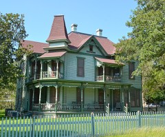 | Dr. L.W. and Martha E.S. Chilton House | building | 1998 | 98000354 |
| Fair Oaks Ranch | district | 2007 | 07000127 | |
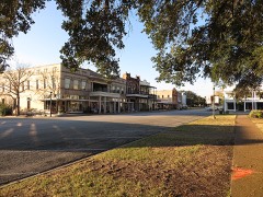 | Goliad County Courthouse Historic District | district | 1976 | 76002034 |
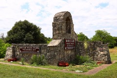 | Goliad State Park Historic District | district | 2001 | 01000258 |
 | Old Market House Museum | building | 1972 | 72001362 |
 | Capt. Barton Peck House | building | 1979 | 79002947 |
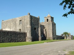 | Presidio Nuestra Senora de Loreto de la Bahia | building | 1967 | 67000024 |
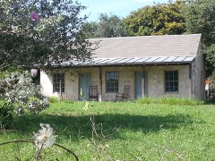 | Jessie W. Stoddard House | building | 1992 | 91002020 |
Drawn when these were printed as single large sheets: the town seen from the air, and the county divided into its farms with every owner named. Each opens the original at the Library of Congress.

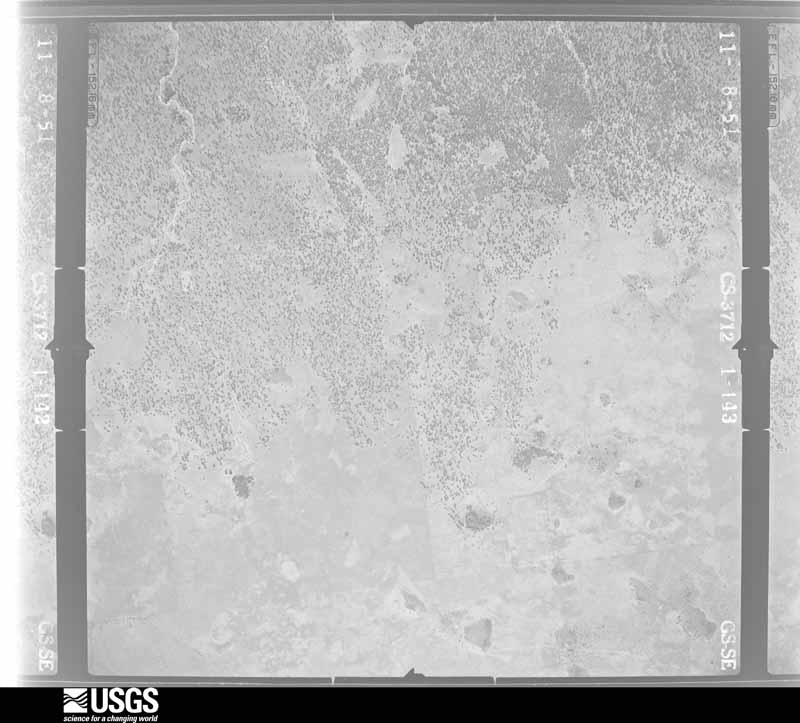
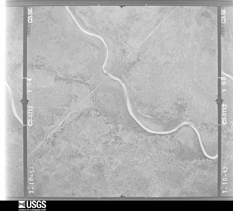
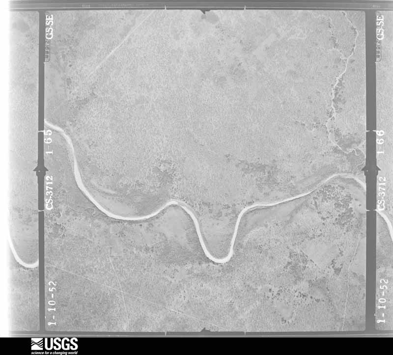
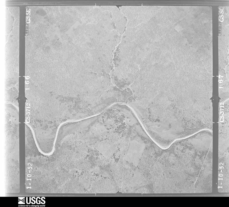
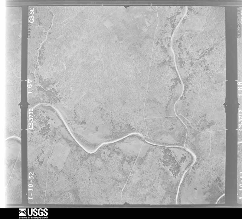
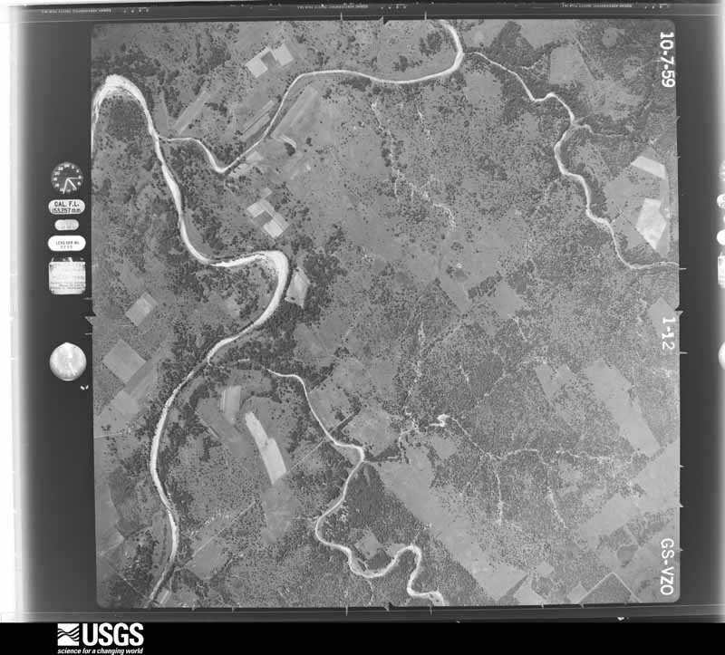
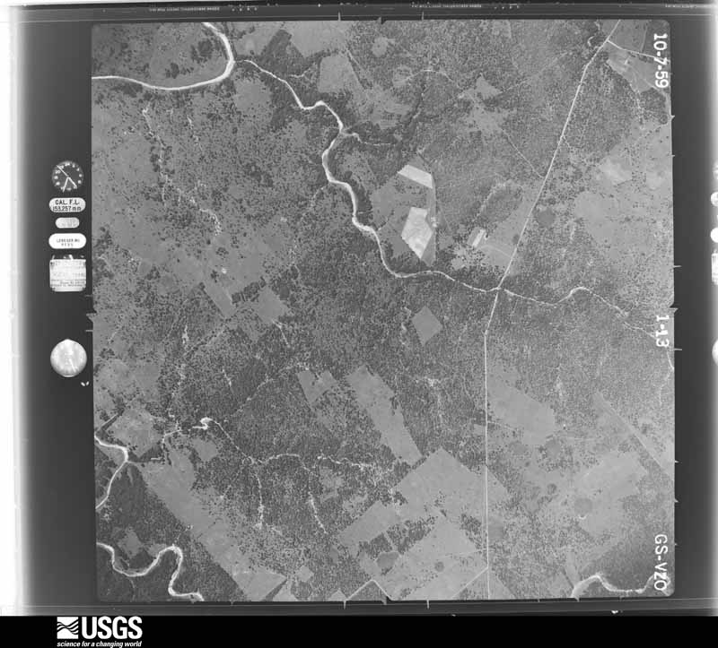
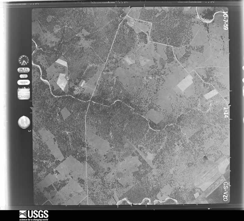
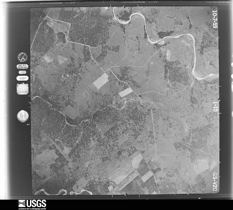
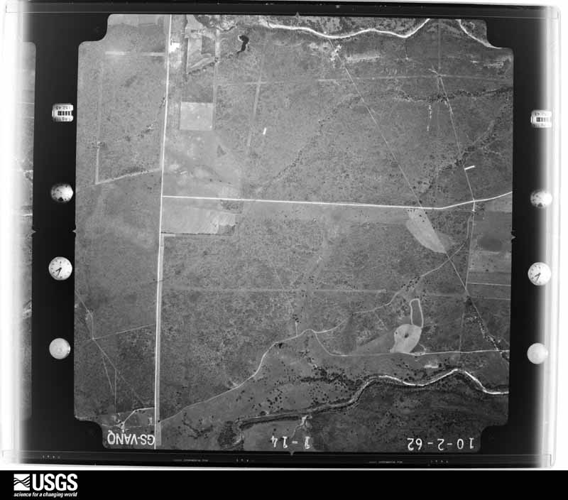
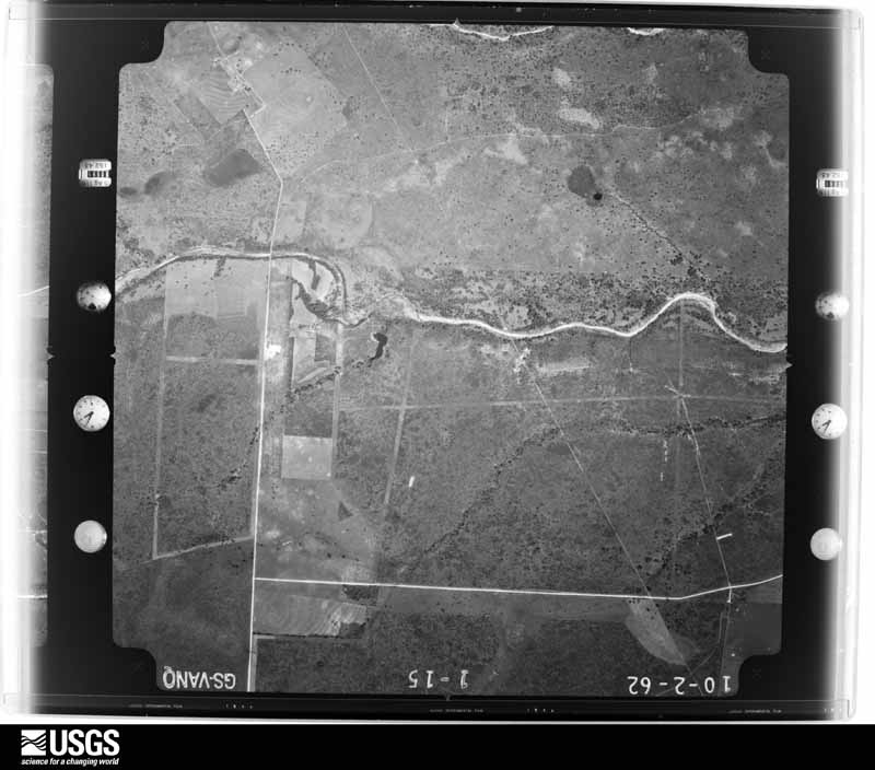
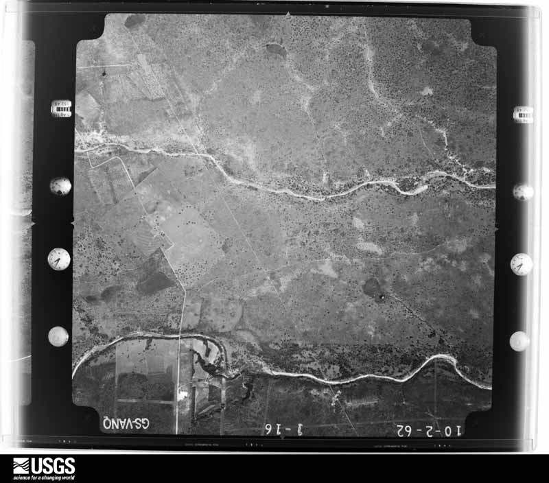
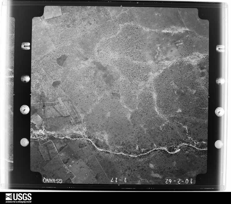
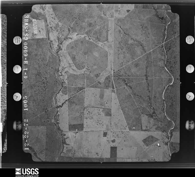
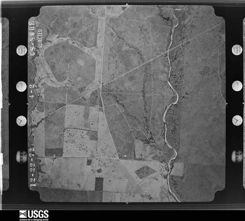
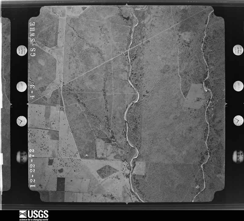
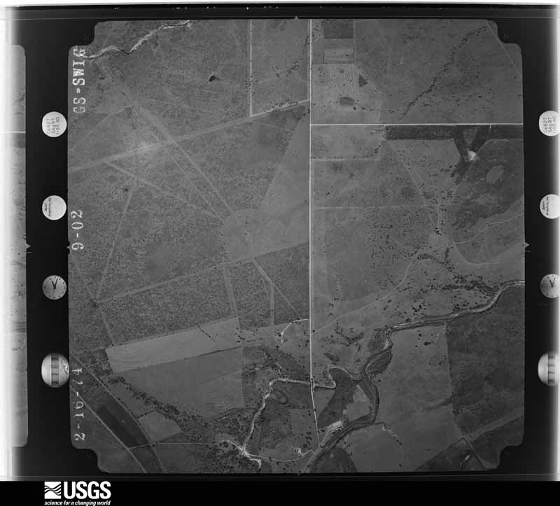
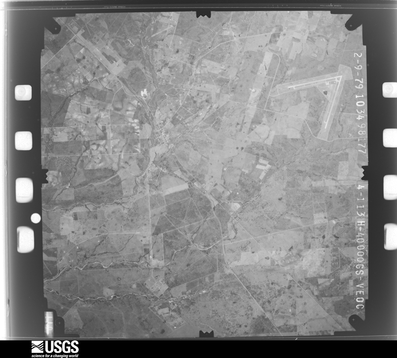
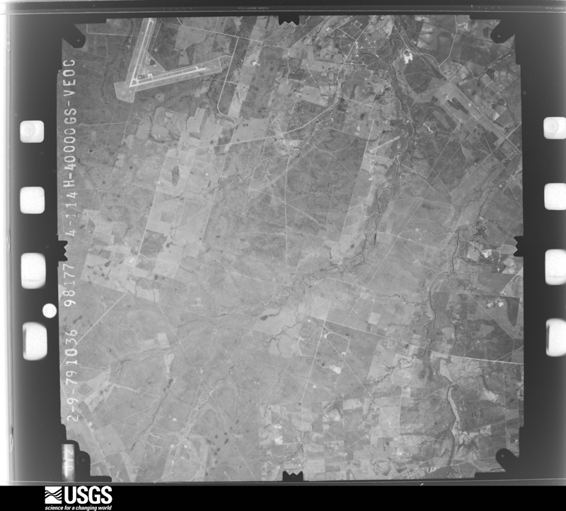
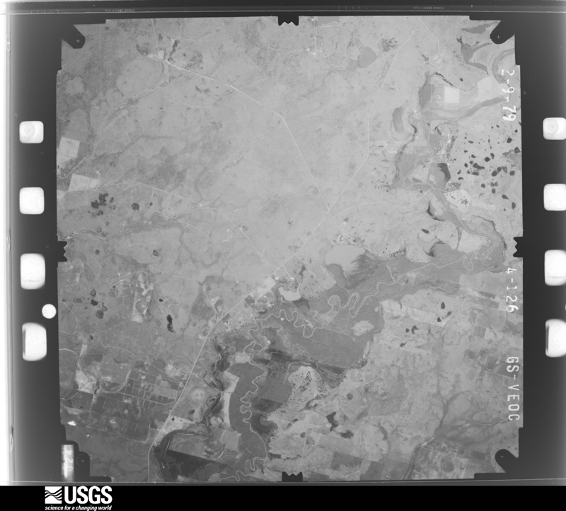
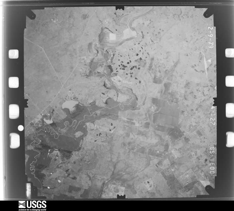
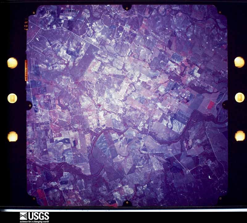
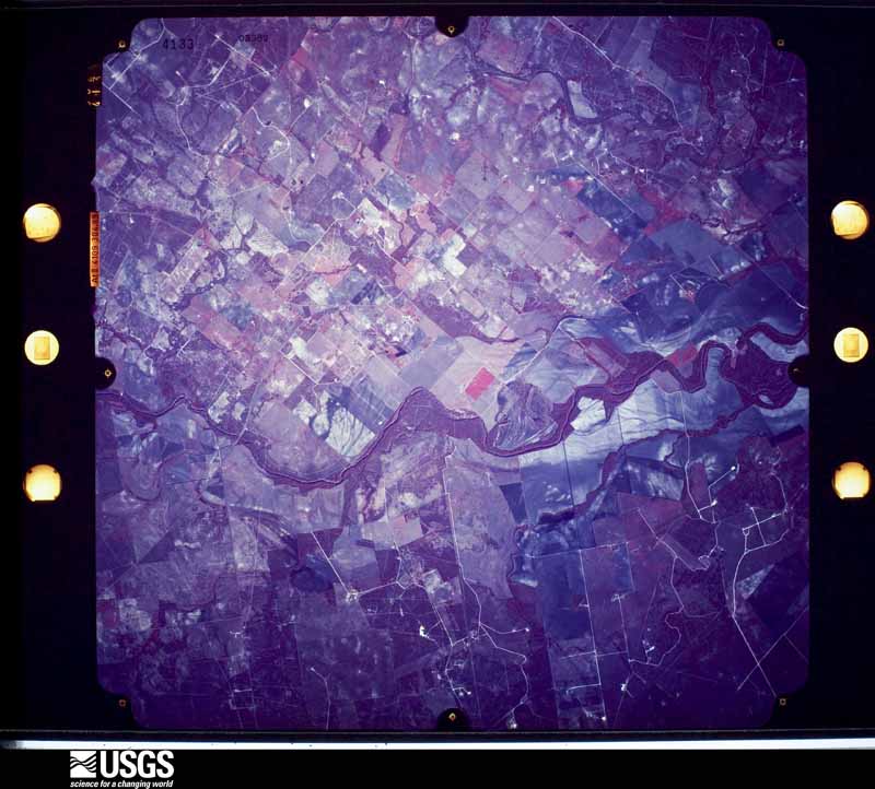
Flown by the U.S. Geological Survey between 1937 and 1989, the Aerial Photo Single Frames collection is the definitive mid-century view of the land: fields, roads and rivers as the camera saw them. The Survey holds 1,265 frames inside the rectangle that bounds this county; the 32 frames below were taken over the county itself, chosen across the decades of flights (at most four a year from that rectangle), so one flight cannot crowd out the rest. The full set is free to browse and download at EarthExplorer under the dataset Aerial Photo Single Frames.
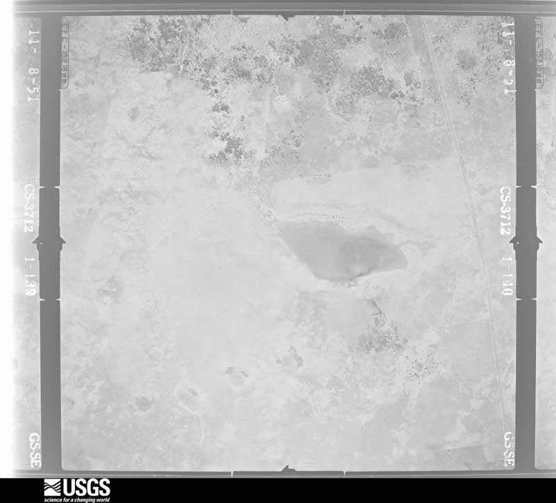
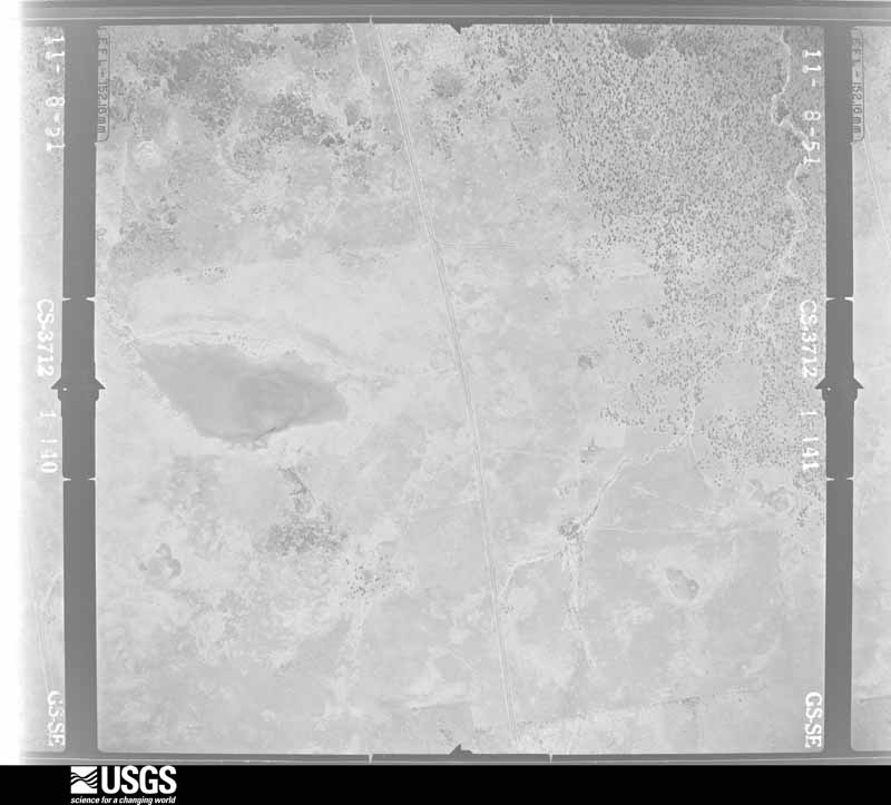
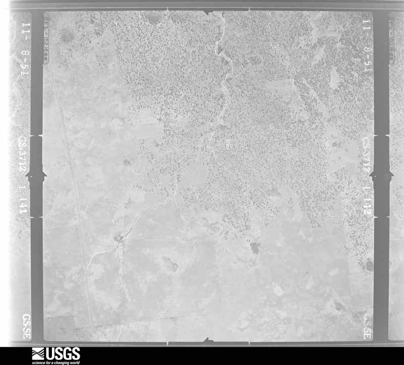
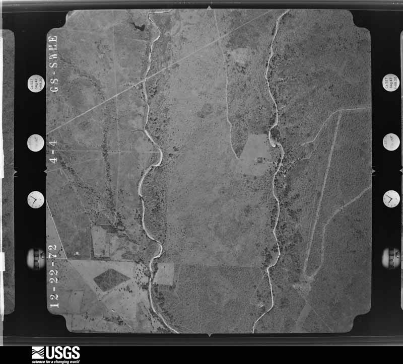
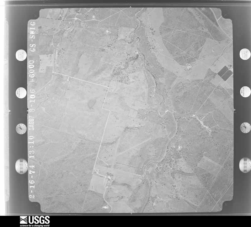
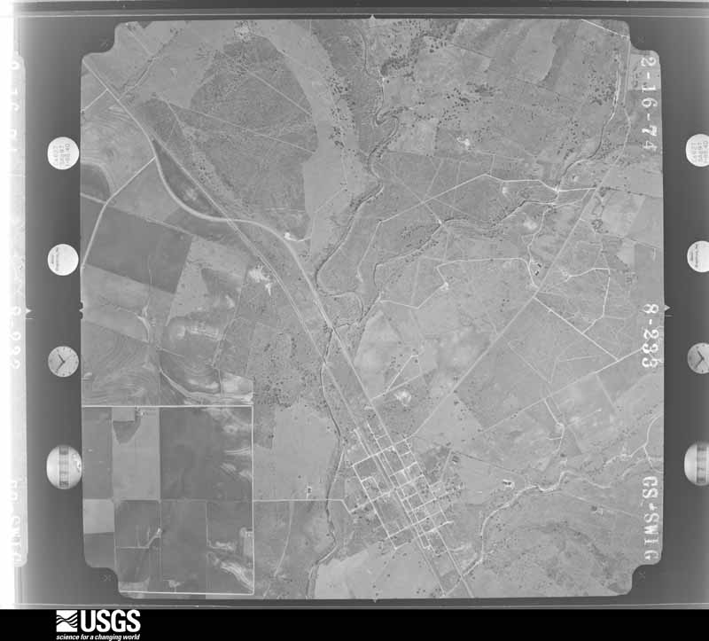
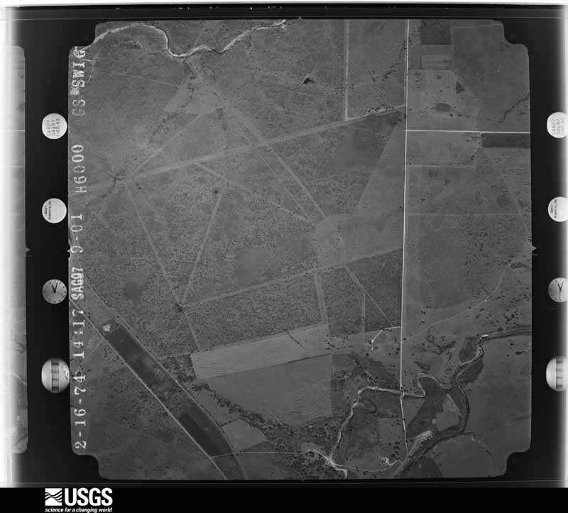


The thermometers that kept this county's weather, and the gages that measured the flow of its streams, as the federal records hold them. The extremes below are measured values from those records, not estimates.
Who lived here in 1950, one enumeration district at a time, as the Census Bureau described each district. Each row opens its official National Archives result, with Population Schedules and ED Maps available there.
Every wildfire the federal occurrence database records inside this county: 250 of them, burning about 14,281 acres. 11 started naturally and 1 was recorded as arson. Each settlement page carries the fires within five miles of it.
| Reported cause | Fires |
|---|---|
| Debris and open burning | 117 |
| Missing data/not specified/undetermined | 54 |
| Equipment and vehicle use | 50 |
| Natural | 11 |
| Smoking | 7 |
| Power generation/transmission/distribution | 4 |
| Misuse of fire by a minor | 3 |
| Recreation and ceremony | 3 |
| Arson/incendiarism | 1 |
The five largest, by the area the report gives. None of them was recorded as arson.
| Date | Cause | Size | Reported by | Name on the report |
|---|---|---|---|---|
| 31 January 2008 | Missing data/not specified/undetermined | 3,000 acres | Aransas National Wildlife Refuge | TOWER ROAD FIRE |
| 25 August 2019 | Natural | 1,343 acres | Texas A & M Forest Service | ZACATE |
| 31 January 2018 | Debris and open burning | 800 acres | Texas A & M Forest Service | GRASS FIRE |
| 2 January 2008 | Debris and open burning | 700 acres | Texas A & M Forest Service | PLUMMER RANCH |
| 9 March 2008 | Missing data/not specified/undetermined | 500 acres | Texas A & M Forest Service | SHAY - 91 |
| 26 January 2017 | Missing data/not specified/undetermined | 500 acres | Texas A & M Forest Service | AZAR 255 |
| 9 September 2011 | Missing data/not specified/undetermined | 500 acres | Texas A & M Forest Service | GRASS FIRE |
| 30 January 2018 | Debris and open burning | 500 acres | Texas A & M Forest Service | GRASS FIRE |
Every settlement page carries the fires within five miles of it - see the settlement index below.
The NOAA Storm Events Database holds 180 reports for this county, causing 1 death, 2 injuries and about $2,006,250 in recorded property damage. Each settlement page carries the reports that name it.
| Kind of event | Reports |
|---|---|
| Hail | 73 |
| Thunderstorm Wind | 41 |
| Flash Flood | 38 |
| Tornado | 20 |
| Heavy Rain | 4 |
| Funnel Cloud | 3 |
| Lightning | 1 |
The most serious of them, by death, then injury, then recorded damage. The accounts are quoted exactly as the forecast office filed them.
| When | Event | Place named | Harm | What the report says |
|---|---|---|---|---|
| June 1997 | Flash Flood | Goliad | 1 killed | A nearly stationary area of showers and thunderstorms developed across the county. At 3pm CST...numerous roadways became flooded. The resulting torrential downpours forced a nearby creek to become dangerously rapid as 5 to 6 inches of rainfall fell in approximately 3 hours. Between 4 and 5 pm CST...a 21-year old man drowned as a result after an attempt to cross the swollen creek on horseback. |
| September 1967 | Tornado | not stated | 2 hurt, $250 | no account filed |
| April 1994 | Hail | Coleto Creek | $500,000 | The public reported golf ball-sized hail near Weesatche at 2010 CST. At 2015 CST the public reported golf ball-sized hail at Fannin near Coleto Creek. |
| April 1994 | Hail | Fannin | $500,000 | The public reported golf ball-sized hail near Weesatche at 2010 CST. At 2015 CST the public reported golf ball-sized hail at Fannin near Coleto Creek. |
| June 2017 | Hail | Goliad | $250,000 | Baseball sized hail occurred in the city of Goliad. |
| October 1981 | Tornado (F1) | not stated | $250,000 | no account filed |
| August 2004 | Lightning | Cologne | $200,000 | Lightning struck and set a home on fire in the Lakewood subdivision. The home was a total loss. |
| June 2021 | Thunderstorm Wind | Goliad | $50,000 | Significant structural damage occurred to the side of the building at the Grace Temple Church in Goliad. |
| March 2016 | Thunderstorm Wind | Schroeder | $50,000 | An internet tower 150 feet tall collapsed on a house along Bego Road. |
| April 1994 | Hail | Weesatche | $50,000 | The public reported golf ball-sized hail near Weesatche at 2010 CST. At 2015 CST the public reported golf ball-sized hail at Fannin near Coleto Creek. |
| April 2020 | Thunderstorm Wind | Charco | $25,000 | A roof was blown off of a large ranch lodge. |
| November 2004 | Flash Flood | North Central Portion | $20,000 | See episode narrative below for additional details and rainfall totals. |
| May 2019 | Thunderstorm Wind | Goliad | $10,000 | A tin shed was blown over on a farm near Goliad. |
| May 2016 | Hail | Ander | $10,000 | Quarter to golf ball sized hail was reported by Goliad Sheriffs Office. |
| May 2015 | Hail | Schroeder | $10,000 | Quarter sized hail fell for approximately 10 minutes at Schroeder. |
| April 2015 | Thunderstorm Wind | Goliad | $10,000 | Many large trees were snapped at Goliad State Park. |
| April 2015 | Thunderstorm Wind | Goliad | $10,000 | Power lines were blown across the city of Goliad. |
| April 2012 | Hail | Goliad | $10,000 | Golf ball sized hail was reported in Goliad. |
| May 2022 | Thunderstorm Wind | Ander | $5,000 | Trees were blown down in the community of Ander. |
| May 2022 | Thunderstorm Wind | Schroeder | $5,000 | Power lines were blown down in Schroeder. |
| May 2019 | Hail | Goliad | $5,000 | Quarter sized hail occurred in Goliad. |
| June 2017 | Hail | Schroeder | $5,000 | Quarter to half dollar sized hail occurred near Schroeder. |
| June 2017 | Hail | Goliad | $5,000 | Quarter sized hail occurred on the north side of Goliad. |
| July 2017 | Thunderstorm Wind | Fannin | $5,000 | Damage occurred to the roof of a home near the intersection of Leisure Lane and Sunset Road. |
| July 2017 | Thunderstorm Wind | Weesatche | $5,000 | Goliad County Sheriff's Office reported a large tree down on Weise Road. |
| April 2015 | Flash Flood | Goliad | $5,000 | Flooding occurred at Goliad State Park with water into the mission church building. |
| April 2012 | Hail | Fannin | $5,000 | Quarter sized hail was reported in the community of Fannin. |
| May 1994 | Hail | Fannin | $5,000 | no account filed |
| May 2022 | Thunderstorm Wind | Goliad | $1,000 | Power lines were blown down near Highway 183 and San Fernando Road in Goliad. |
| June 2025 | Heavy Rain | Schroeder | - | Total rainfall accumulation of 5.34 inches. |
| November 2025 | Hail | Weser | - | County officials reported hail near Weser. |
| November 2025 | Hail | Schroeder | - | Received video from public. Location and size estimated via radar. |
| April 2024 | Hail | Goliad | - | Cocorahs station TX-GD-8 reported ping pong size hail. Time estimated by radar. |
| April 2024 | Hail | Goliad | - | Law enforcement reported large hail, time estimated by radar. |
| June 2022 | Thunderstorm Wind | Berclair | - | Spotter reported multiple large trees snapped near Farm to Market Road 883. Small hail occurred also. |
| July 2021 | Heavy Rain | Angel City | - | Damage estimates due to sorghum losses in the county were at 835 thousand dollars across the county due to heavy rainfall. A 40 percent loss occurred across the county. |
| April 2020 | Hail | Charco | - | Estimated size of hail. Piles of hail were still on the ground 15 hours after the event. |
| June 2019 | Hail | Berclair | - | Quarter sized hail occurred at the Berclair Country Store. |
| May 2019 | Thunderstorm Wind | Goliad | - | Public estimated winds gusted up to 60 mph in Goliad. |
| June 2017 | Hail | Goliad | - | Public reported quarter sized hail in Goliad. |
| June 2017 | Thunderstorm Wind | Goliad | - | Public estimated 60 mph winds in Goliad. |
| May 2016 | Thunderstorm Wind | Berclair | - | Goliad Auxiliary Field ASOS measured a gust to 62 mph. |
| November 2016 | Hail | Charco | - | Observer reported quarter sized hail. |
| May 2015 | Thunderstorm Wind | Berclair | - | Goliad Outlying Field ASOS measured a gust to 61 mph. |
| May 2015 | Funnel Cloud | Scurlock | - | A funnel cloud occurred southeast of Goliad. |
| April 2015 | Hail | Goliad | - | Goliad Sheriffs Office reported quarter sized hail in Goliad. |
| April 2015 | Flash Flood | Ander | - | Observer reported flash flooding on Bluntzer Road near Farm to Market Road 1961. Water running across the road was about 1 and a half feet deep. |
| April 2015 | Hail | Goliad | - | Quarter sized hail occurred in Goliad. |
| May 2014 | Thunderstorm Wind | Schroeder | - | A tree was blown down across Farm to Market Road 622 near Schroeder. |
| May 2013 | Flash Flood | Charco | - | Goliad County Sheriff's Office reported Farm to Market Roads 883 and 2442 were covered with water northwest of Berclair. |
| April 2013 | Thunderstorm Wind | Berclair | - | ASOS site at Navy Outlying Field Goliad measured a gust to 58 mph. |
| April 2013 | Flash Flood | Goliad | - | Goliad Sheriff's Office reported water over the road at several intersections within the city of Goliad. |
| April 2013 | Heavy Rain | Goliad | - | Observer measured 5.15 inches of rainfall. |
| April 2013 | Heavy Rain | Goliad | - | Observer measured 4.51 inches of rainfall in Goliad. |
| April 2012 | Hail | Angel City | - | Golf ball sized hail occurred near Farm to Market Road 1726. |
| April 2012 | Hail | Goliad | - | Ping pong ball sized hail was reported on Farm to Market road 1726 northwest of Goliad. |
| May 2012 | Hail | Cologne | - | Nickel sized hail occurred near Coleto Creek Reservoir. |
| May 2011 | Hail | Weesatche | - | Golf ball sized hail occurred at the Duderstadt Garage in Weesatche. |
| May 2009 | Flash Flood | Goliad | - | Two to three inches of rainfall fell in a short time period over the city of Goliad, producing flash flooding of low lying areas and streets. |
| May 2009 | Hail | Goliad | - | Generally penny sized hail fell i nthe city of Goliad, with a few golfball sized hail stones reported. |
The Survey's mineral resources record lists 1 working inside this county. It is closed or unrecorded. Each settlement page carries the workings within five miles of it.
| Commodity | Workings |
|---|---|
| Uranium | 1 |
The least common of them first, because a county's hundredth gravel pit says nothing its first ten did not.
| Where | Site | Commodity | Status | Recorded |
|---|---|---|---|---|
| Goliad Project | Uranium | Prospect |
Named settlements recorded in the Geographic Names Information System, each with the topographic sheets covering it. Villages, hamlets and abandoned places alike. Each is shown with the nearest named watercourse or landform and the survey quadrangle it falls on.
Goliad South census division · 78107 · On Indian Creek · Berclair quadrangle
7 sheets, 1953 to 1985
Goliad North census division · 77905 · On Payton Branch · Fannin quadrangle
7 sheets, 1953 to 1985
Weesatche-Ander census division · 77963 · On Blue Branch · Ander quadrangle
7 sheets, 1953 to 1985
Goliad South census division · 77963 · On Martinez Creek · Melo quadrangle
8 sheets, 1953 to 1985
Goliad North census division · 77963 · On Goat Creek · Runge SE quadrangle
7 sheets, 1953 to 1985
Goliad North census division · 77963 · On Hord Creek · Charco quadrangle
7 sheets, 1953 to 1985
Goliad North census division · 77963 · On Dry Creek · Hensley Lake quadrangle
7 sheets, 1953 to 1985
Weesatche-Ander census division · 77993 · On Cow Creek · Weesatche quadrangle
7 sheets, 1953 to 1985