 Block
BlockFrom the record
5 National Register listings published here.
Sources: the National Register database, National Park Service
53 topographic sheets cover 26 settlements here, and 5 properties are on the National Register of Historic Places.
5 National Register listings published here.
Sources: the National Register database, National Park Service
Every property in this county listed on the National Register of Historic Places, with the year it was listed and the federal nomination document.
| Photograph | Property | Type | Listed | Reference |
|---|---|---|---|---|
 | Anderson Historic District | district | 1974 | 74002072 |
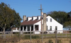 | Foster House | building | 1980 | 80004123 |
| Navasota Commercial Historic District | district | 1982 | 82001737 | |
 | P. A. Smith Hotel | building | 1976 | 76002036 |
 | Steele House | building | 1978 | 78002939 |
Drawn when these were printed as single large sheets: the town seen from the air, and the county divided into its farms with every owner named. Each opens the original at the Library of Congress.

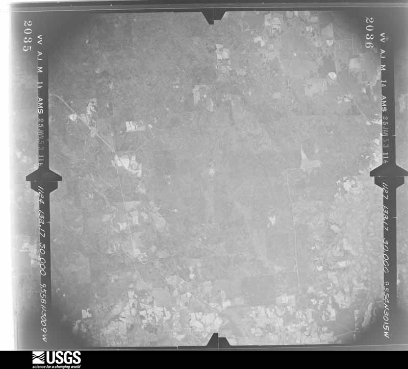
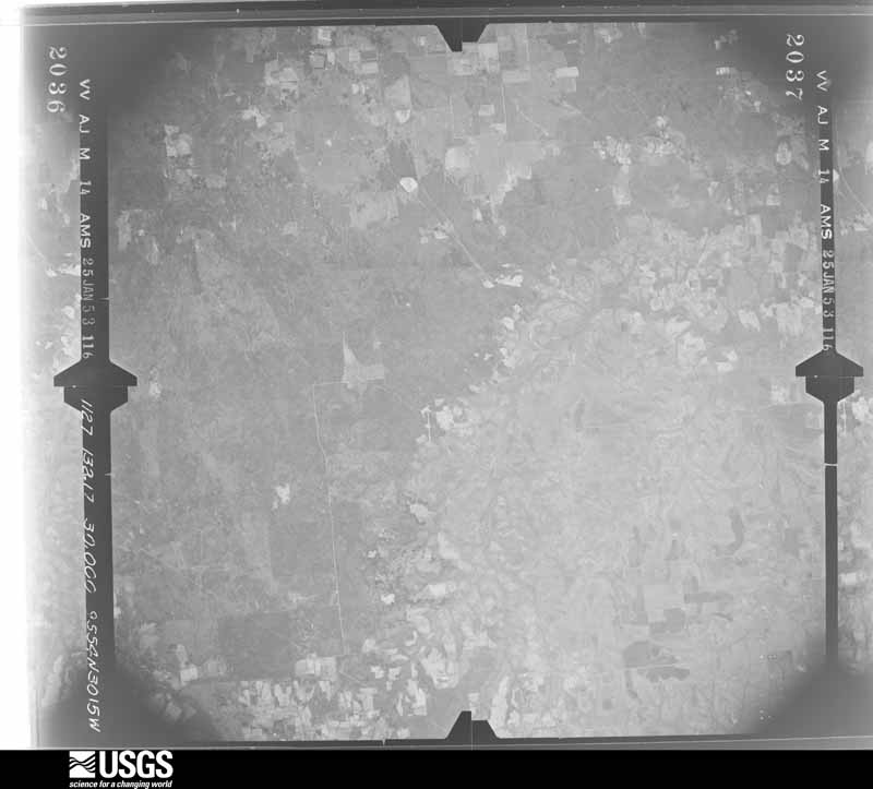
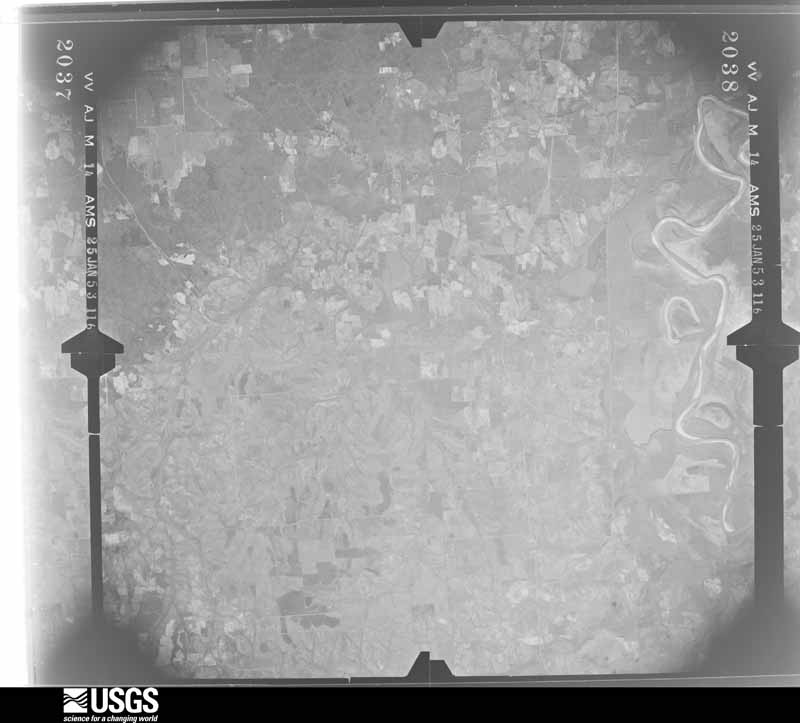
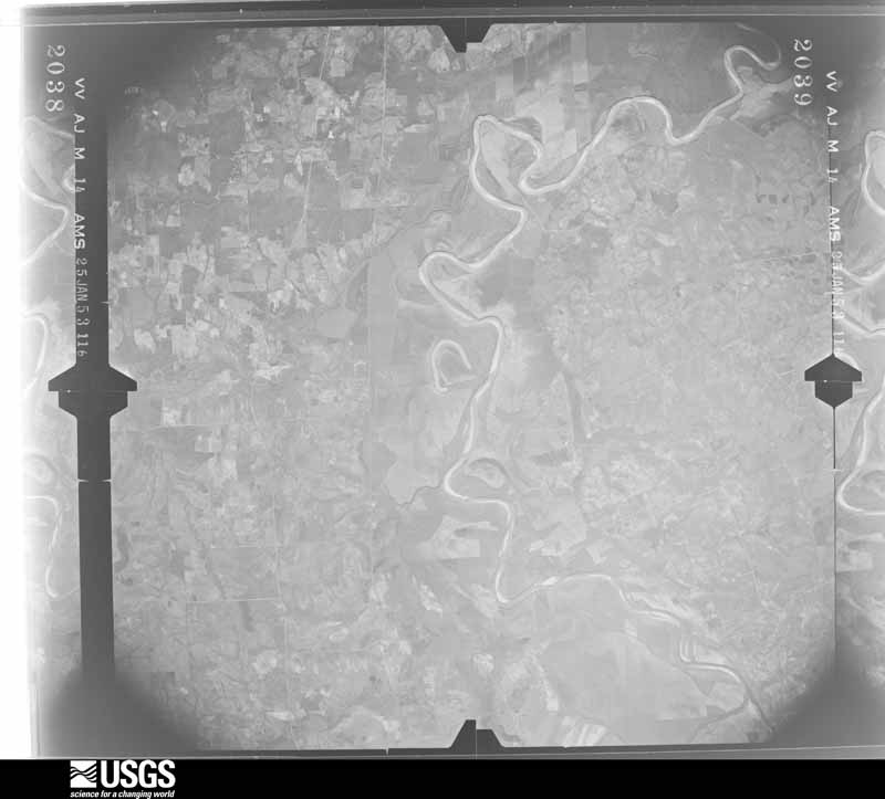
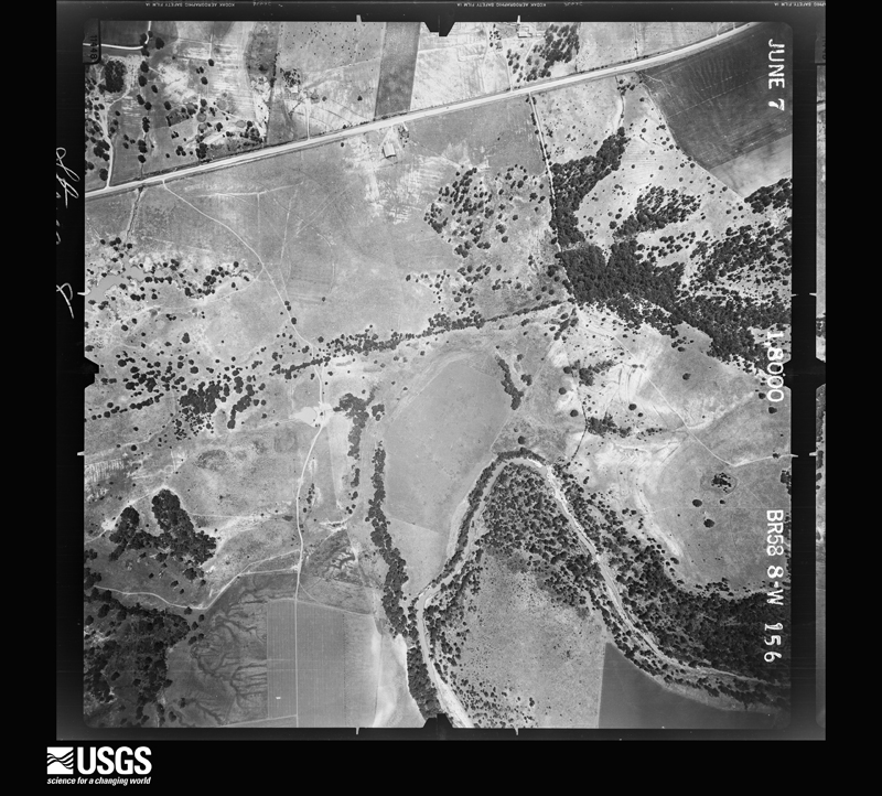
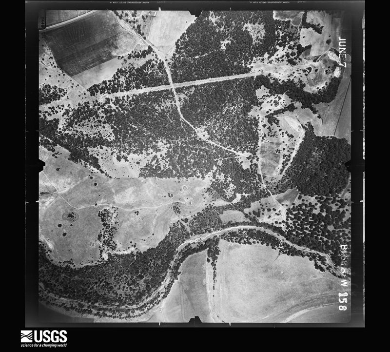
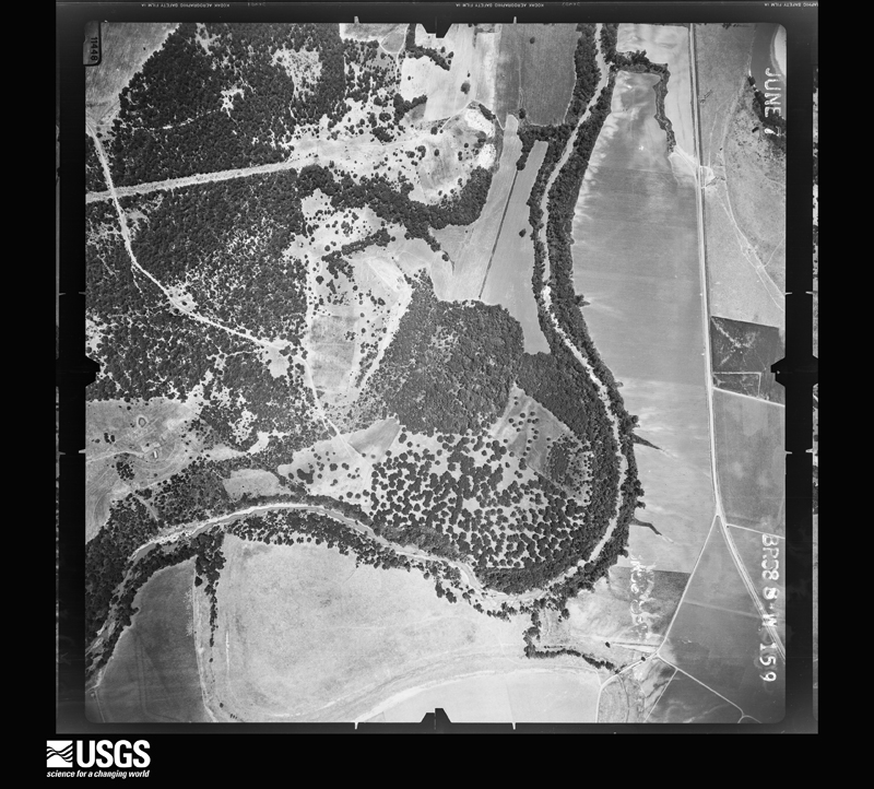
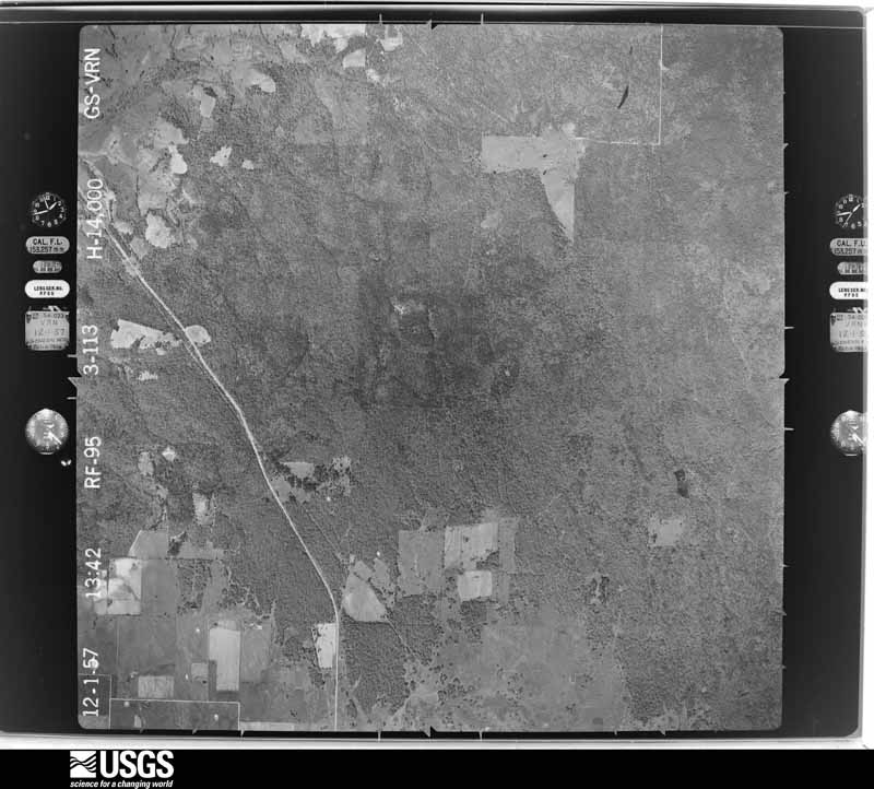
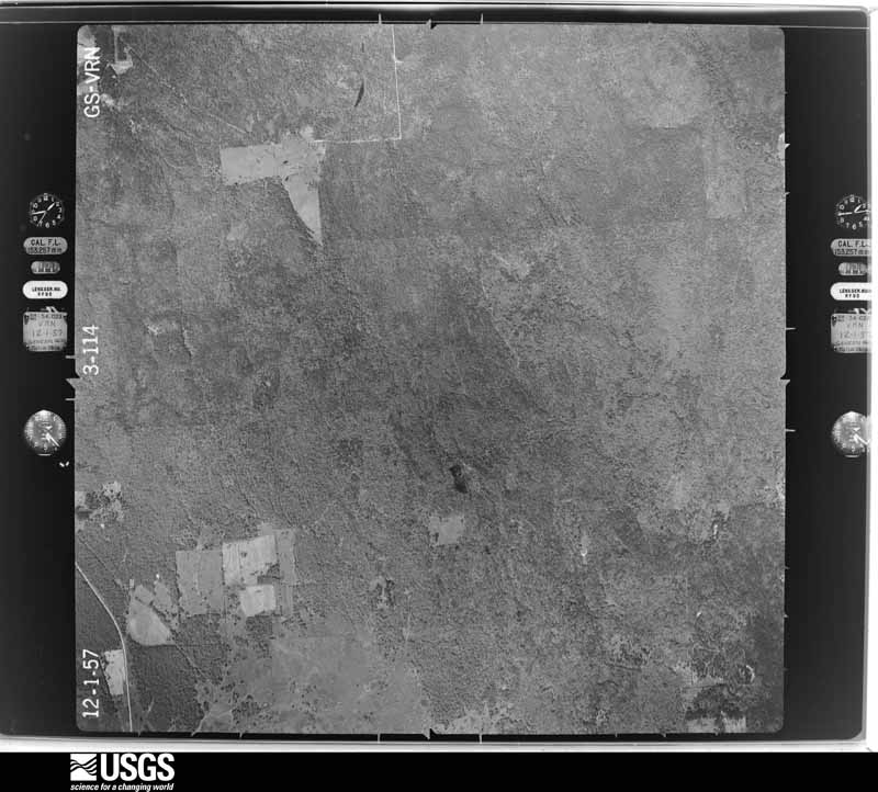
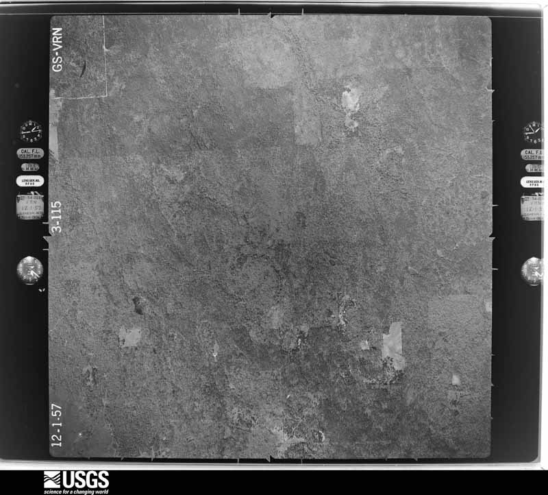
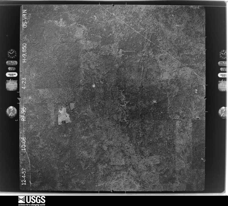
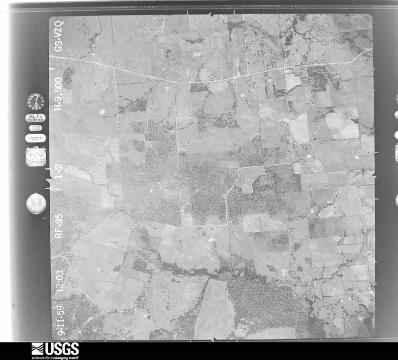
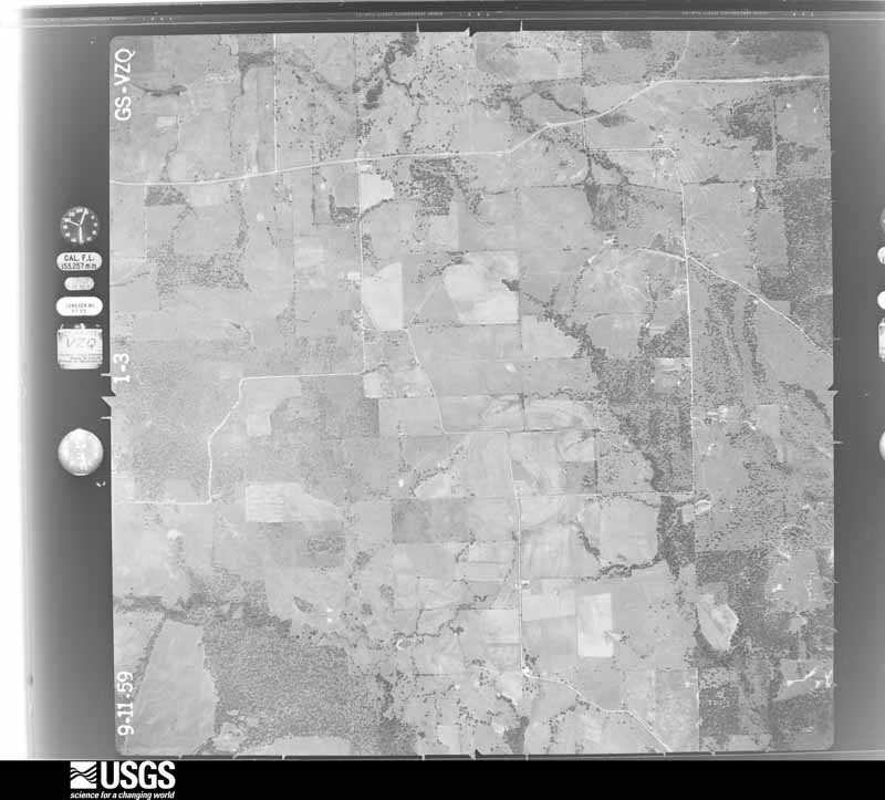
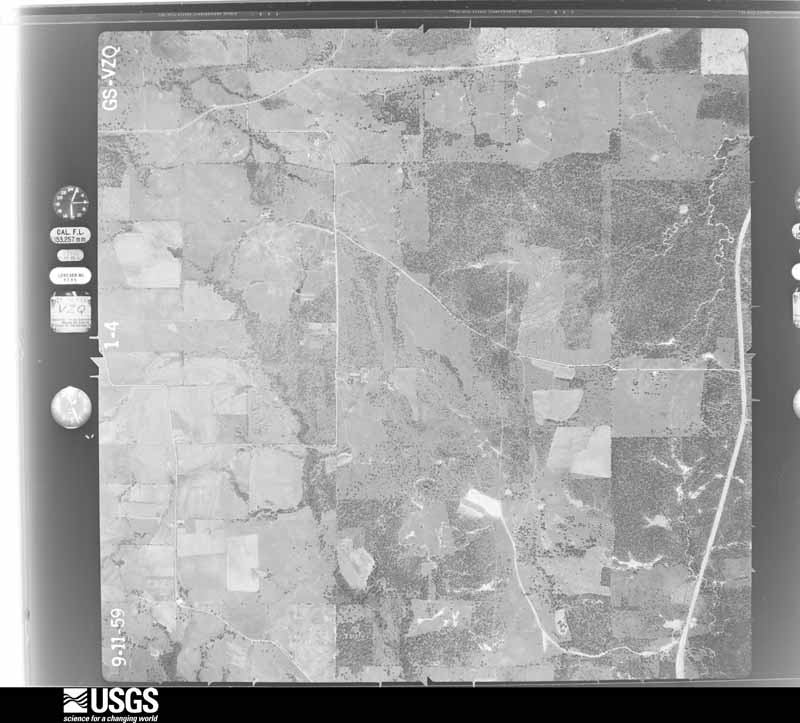
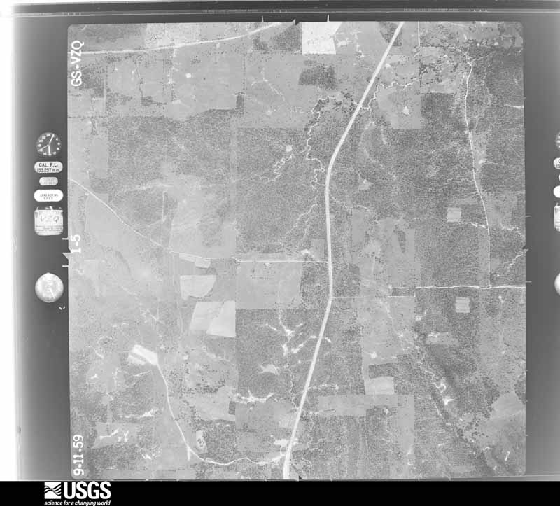
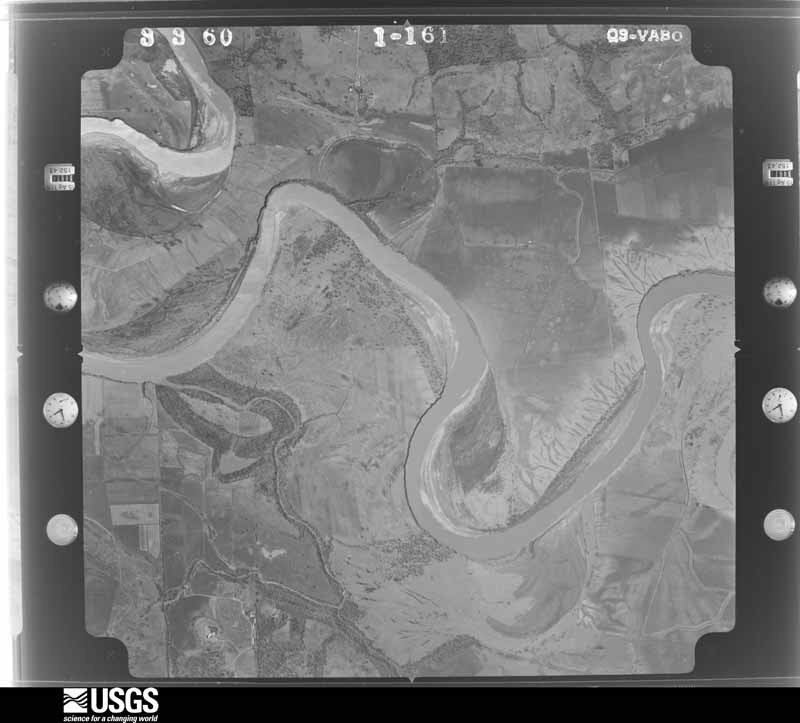
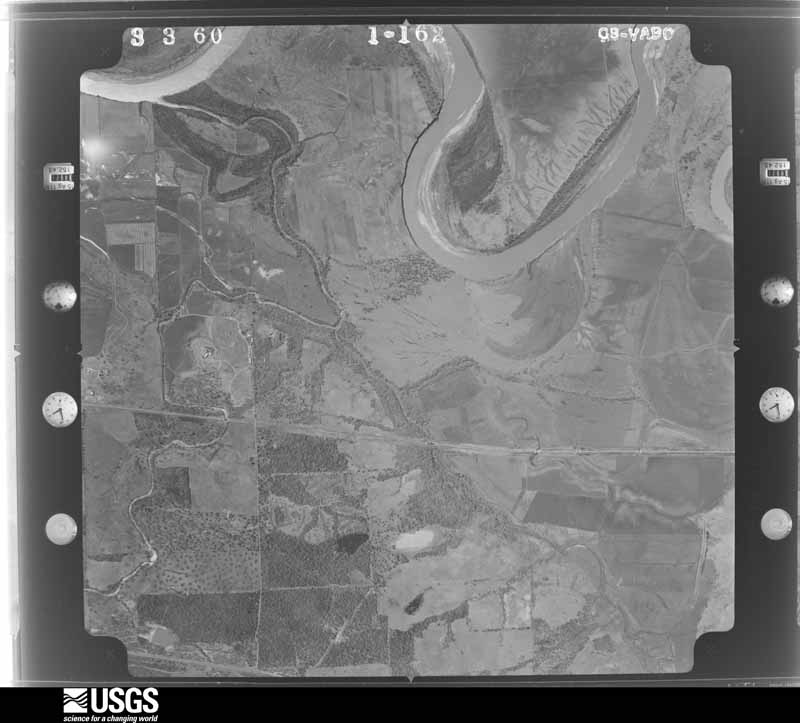
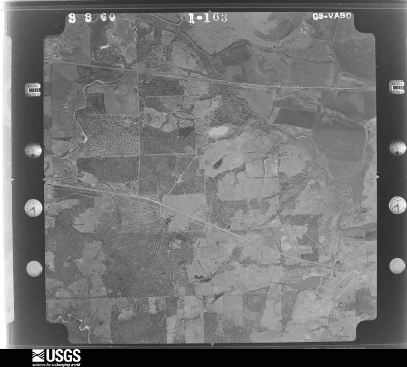
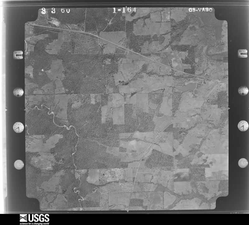
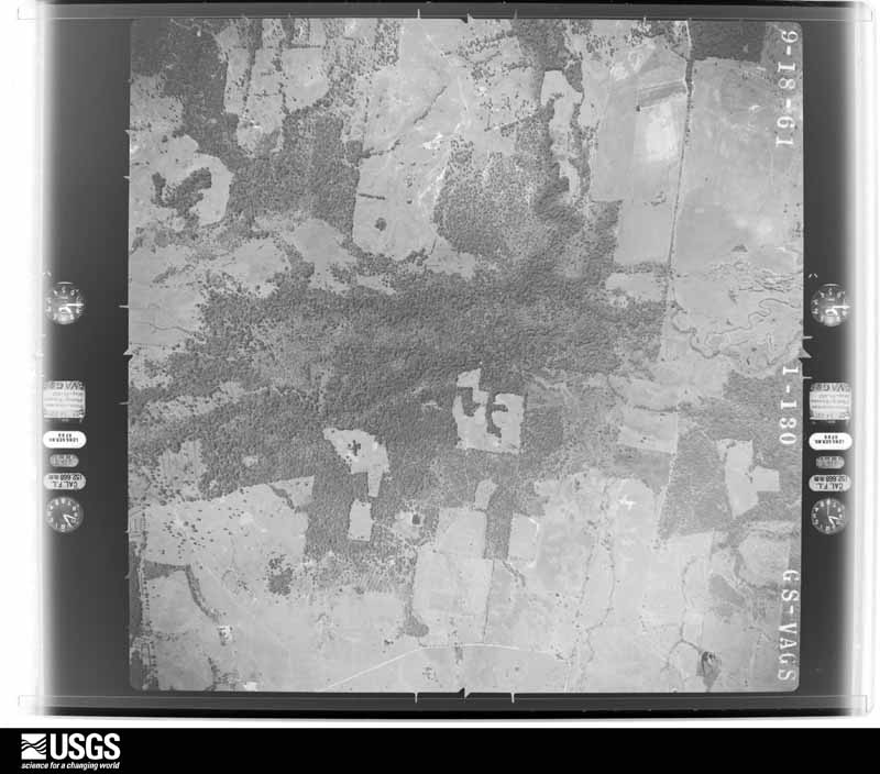
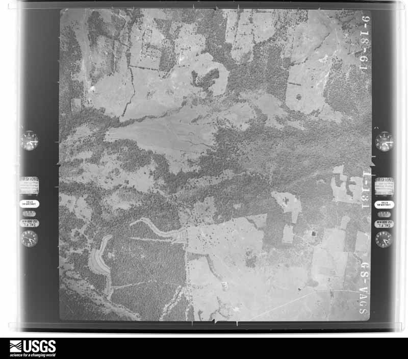
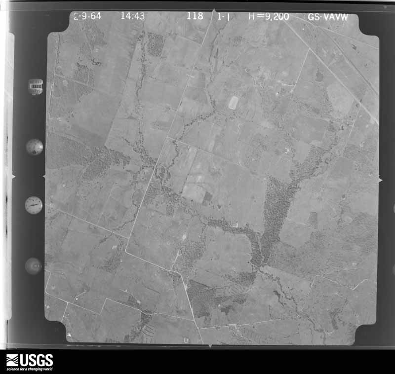
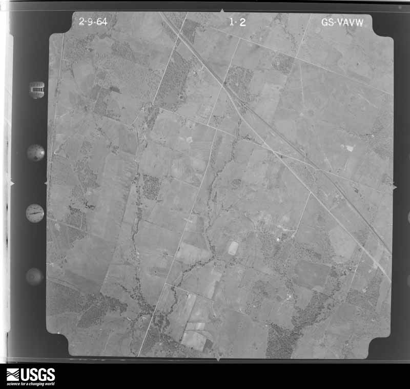
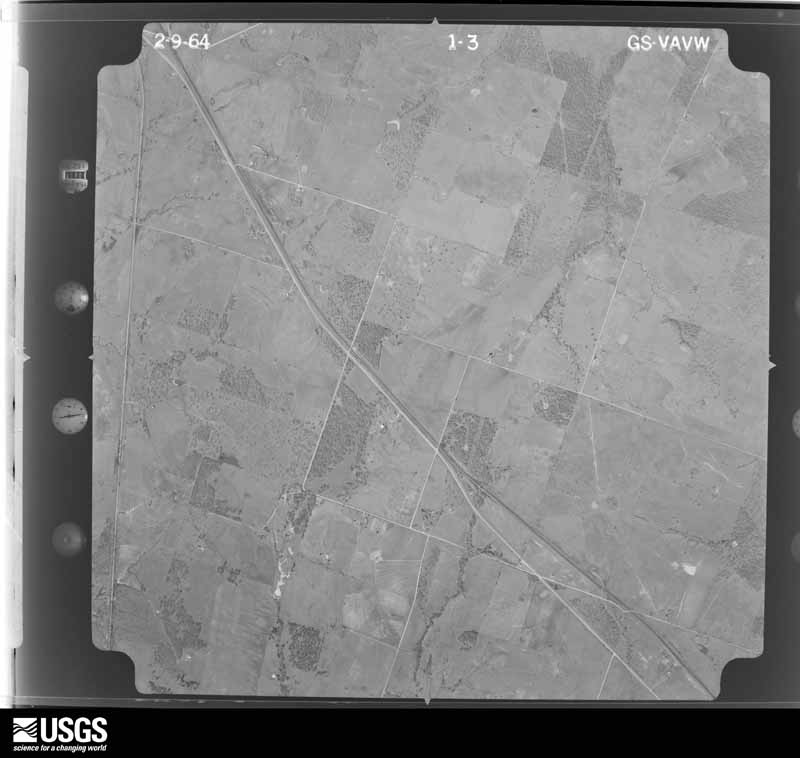
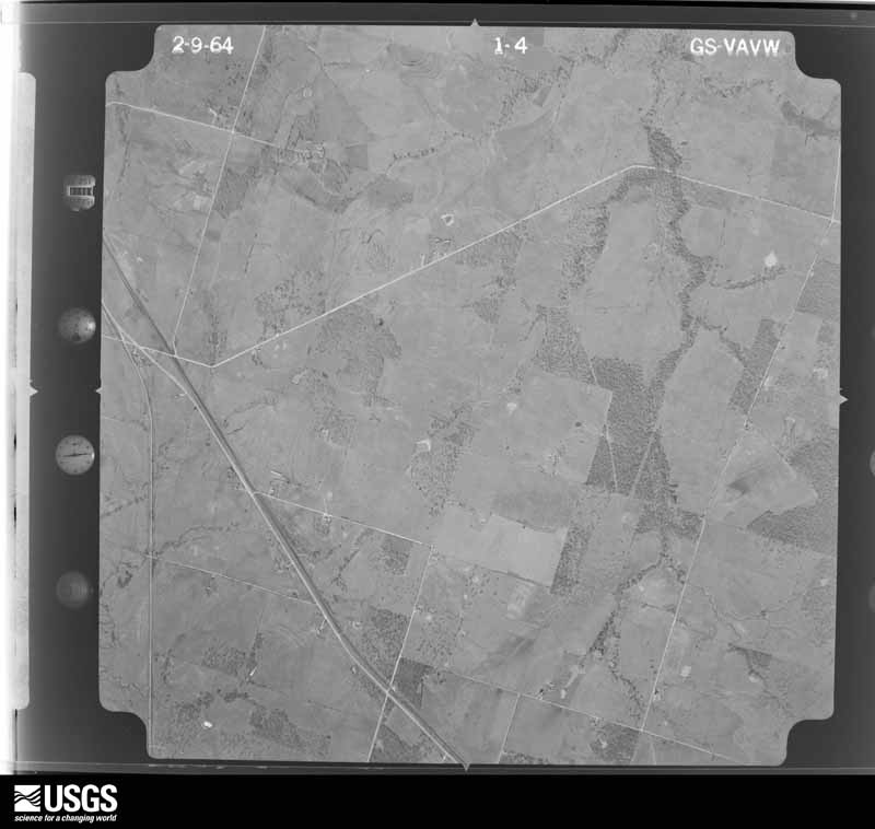
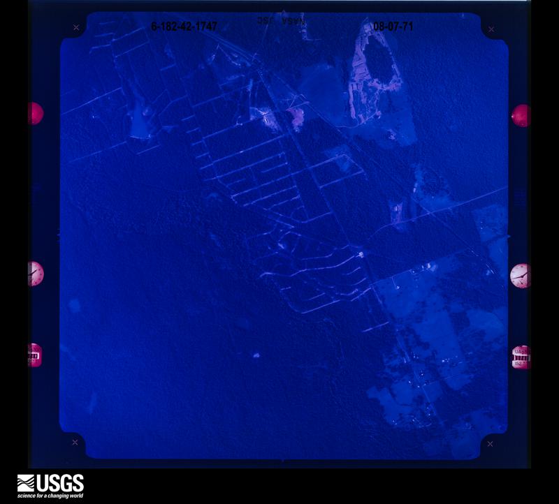
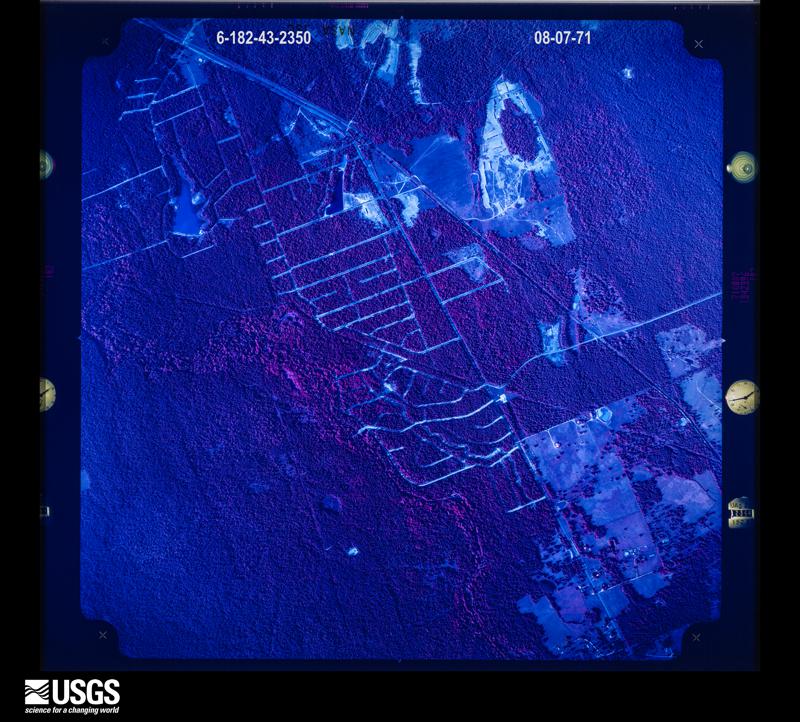
Flown by the U.S. Geological Survey between 1937 and 1989, the Aerial Photo Single Frames collection is the definitive mid-century view of the land: fields, roads and rivers as the camera saw them. The Survey holds 1,892 frames inside the rectangle that bounds this county; the 48 frames below were taken over the county itself, chosen across the decades of flights (at most four a year from that rectangle), so one flight cannot crowd out the rest. The full set is free to browse and download at EarthExplorer under the dataset Aerial Photo Single Frames.





















The thermometers that kept this county's weather, and the gages that measured the flow of its streams, as the federal records hold them. The extremes below are measured values from those records, not estimates.
Who lived here in 1950, one enumeration district at a time, as the Census Bureau described each district. Each row opens its official National Archives result, with Population Schedules and ED Maps available there.
Every wildfire the federal occurrence database records inside this county: 1,727 of them, burning about 36,700 acres. 55 started naturally and 37 were recorded as arson. Each settlement page carries the fires within five miles of it.
| Reported cause | Fires |
|---|---|
| Debris and open burning | 1158 |
| Missing data/not specified/undetermined | 289 |
| Equipment and vehicle use | 75 |
| Natural | 55 |
| Smoking | 46 |
| Arson/incendiarism | 37 |
| Power generation/transmission/distribution | 33 |
| Recreation and ceremony | 13 |
| Misuse of fire by a minor | 8 |
| Railroad operations and maintenance | 8 |
| Fireworks | 5 |
The five largest, by the area the report gives. One of them was set deliberately.
| Date | Cause | Size | Reported by | Name on the report |
|---|---|---|---|---|
| 5 September 2011 | Natural | 19,960 acres | Livingston Area | RILEY ROAD FIRE |
| 19 June 2011 | Missing data/not specified/undetermined | 5,280 acres | Texas A & M Forest Service | DYER MILL FIRE |
| 22 March 2017 | Debris and open burning | 372 acres | Texas A & M Forest Service | TIMBERWOLF |
| 9 May 2005 | Debris and open burning | 350 acres | Texas A & M Forest Service | not named |
| 3 January 2006 | Recreation and ceremony | 160 acres | Texas A & M Forest Service | CONROE - 4 |
| 21 March 2018 | Debris and open burning | 150 acres | Texas A & M Forest Service | 18035 |
| 24 December 2010 | Arson/incendiarism | 150 acres | Texas A & M Forest Service | HWY 90 AND CR 150 |
| 2 September 1998 | Debris and open burning | 142 acres | Texas A & M Forest Service | not named |
Every settlement page carries the fires within five miles of it - see the settlement index below.
The NOAA Storm Events Database holds 207 reports for this county, causing 2 deaths, 5 injuries and about $4,198,530 in recorded property damage. Each settlement page carries the reports that name it.
| Kind of event | Reports |
|---|---|
| Thunderstorm Wind | 84 |
| Hail | 55 |
| Flash Flood | 48 |
| Tornado | 15 |
| Funnel Cloud | 3 |
| Lightning | 2 |
The most serious of them, by death, then injury, then recorded damage. The accounts are quoted exactly as the forecast office filed them.
| When | Event | Place named | Harm | What the report says |
|---|---|---|---|---|
| March 1988 | Thunderstorm Wind | not stated | 1 killed, 2 hurt | no account filed |
| October 2006 | Lightning | Anderson | 1 killed, $8,000 | A 21 year old male was struck by lightning while riding a horse. He was transported to a local hospital where he was pronounced dead. Two horses in a nearby pasture were also killed by a lightning strike. |
| February 1981 | Tornado (F2) | not stated | 2 hurt, $250,000 | no account filed |
| April 1990 | Thunderstorm Wind | not stated | 1 hurt | no account filed |
| April 2016 | Flash Flood | Todd Mission | $800,000 | There were water rescues in the Todd Mission area. Major flooding occurred along County Road 311 northwest of Todd Mission with water halfway up the street signage. |
| May 2016 | Flash Flood | Plantersville | $500,000 | Water rescues were occurring through the county. FM 362 at Beason Creek was closed due to flooding. Washington Street at Foster Street, Buckingham Lane at FM 379 and Courtney Street in the town of Navasota were all impassable and closed as they were inundated with nearly two feet of water. |
| December 1983 | Tornado (F1) | not stated | $250,000 | no account filed |
| May 2016 | Tornado (EF2) | Courtney | $200,000 | Large damage path extended from a large commercial metal building across a ranchers property and on east into a wooded area. The large metal building and a house of the property were destroyed. Around this area and in wooded area numerous large trees were uprooted and snapped. Worst of the damage was consistent with EF2 rating. |
| November 2015 | Tornado (EF1) | Carlos | $200,000 | This EF-1 tornado produced a damage path that started three miles west of Carlos near Route 30 with damage to trees and structures along Ada Oaks Lane. The path continued to the north northeast crossing County Road 173 then ran more parallel to County Road 244, crossing County Road 244 twice along its over 9 mile path. Damage was intermittent with numerous large trees uprooted or with their trunks snapped. Two trailers were thrown and destroyed. Numerous barns, farm outbuildings and mobile homes suffered severe damage. In numerous cases, tin and lumber debris were thrown over half a mile. |
| February 2012 | Flash Flood | Piedmont | $150,000 | A band of moderate to heavy rainfall caused flooding in and around Grimes and Huntsville. Numerous road closures and stalled cars were reported in the town of Navasota with additional closures in and around the communities of Anderson and Huntsville. |
| May 2016 | Tornado (EF1) | Courtney | $100,000 | Large number of large trees uprooted west of Route 6. Just east a home had its roof taken off. Damage was consistent with EF2 rating. |
| April 2015 | Thunderstorm Wind | Navasota | $100,000 | Strong damaging winds and wind gusts were observed across a large part of Grimes County in association with a large line of severe thunderstorms. The National Weather Service accompanied by the Grimes County emergency manager conducted a storm survey and found several areas with trees uprooted or snapped. In each case, trees were pushed down to the east or northeast and generally in the same direction as nearby damage. All observed damage was consistent with straight line downburst winds. A parked tractor trailer was blown over between Navasota and|Anderson along Highway 90. A hay barn was destroyed near the intersection of CR 211 and CR 215, about 3 miles ESE of Anderson, with debris blown toward the east. There were also trees down in Roans Prairie and Richards, again pointing eastward.|Some of the more significant damage occurred near the town of Shiro where several large trees were uprooted, some of which fell onto mobile homes. No injuries were reported. Other damage was observed in Navasota where trees and power lines were downed and doors were blown off at a fire station. In the Roans Prairie area, there was sign damage at a gas station, and trees were also downed. |
| November 2000 | Flash Flood | North Portion | $100,000 | House under water in Bedias. Numerous secondary roads flooded in northern portion of county. |
| November 2000 | Thunderstorm Wind | Countywide | $100,000 | Numerous trees down at CR 166 and CR 190 5 miles northeast of Anderson and along SH 6 just north of Navasota. Numerous power lines down across county. |
| August 2000 | Thunderstorm Wind | Shiro | $100,000 | Tree down on car with roof damage to mobile homes. Power lines down in area. |
| July 1998 | Thunderstorm Wind | Navasota | $60,000 | Ticket booth at Navasota Raceway destroyed and prison barns sustained wind damage. |
| April 2024 | Tornado (EF1) | Bedias | $50,000 | NWS Storm survey found EF1 tornado damage along a path across portions of northern Grimes and southern Madison counties, generally parallel and to the west of SH 90 between Bedias and Madisonville. Damage included trees downed and uprooted, and there was also some roof damage to a few homes. |
| May 2016 | Tornado (EF0) | Navasota Muni Arpt | $50,000 | Numerous trees uprooted around Wallace Pack prison complex. One of the watch tower standers witnessed tremendous increase in wind embedded in heavy rain; vehicles in parking lot were moved in different directions. |
| May 2004 | Flash Flood | Countywide | $50,000 | Flooding countywide. |
| May 2000 | Flash Flood | Countywide | $50,000 | High water on FM 2988 and SH 6, CR 318 and SH 6, CR 324 2 miles west of SH 6, and on CR 326. |
| November 2000 | Flash Flood | Countywide | $50,000 | FM 1774 closed south of FM 245. SH 105 closed near CR 309. Numerous other county roads closed due to flooding. |
| November 2000 | Thunderstorm Wind | Courtney | $50,000 | Large metal barn torn off foundation and large trees down at CR 323 and CR 325. |
| August 2000 | Thunderstorm Wind | Iola | $50,000 | Barn and nearby building destroyed. |
| April 1996 | Thunderstorm Wind | Anderson | $50,000 | no account filed |
| January 2012 | Thunderstorm Wind | Bedias | $40,000 | Severe thunderstorm winds destroyed a hay barn, knocked over a silo, and downed some trees on FM 1696. |
| April 2007 | Thunderstorm Wind | Anderson | $40,000 | Tree blown down onto residential home. |
| June 2004 | Flash Flood | Navasota | $35,000 | Flooding across Navasota. |
| February 2012 | Thunderstorm Wind | Navasota | $30,000 | A few fences were knocked over and a metal roof was peeled off a feed store. |
| September 2009 | Thunderstorm Wind | Plantersville | $30,000 | Severe thunderstorm winds destroyed two barns near Plantersville. |
| March 2002 | Hail | Anderson | $30,000 | no account filed |
| September 2009 | Thunderstorm Wind | Stoneham | $25,000 | A modular home was shifted off its foundation. Numerous trees were downed. |
| August 2002 | Flash Flood | Countywide | $25,000 | Many roads under water and closed. |
| May 2000 | Hail | Navasota | $25,000 | Quarter sized hail along SH 6. |
| November 2000 | Thunderstorm Wind | Countywide | $25,000 | Trees down just east of Anderson with trees blocking CR 235 near Shiro. |
| November 2000 | Flash Flood | Countywide | $25,000 | Numerous county roads flooded. |
| June 1999 | Thunderstorm Wind | Navasota | $25,000 | Numerous trees and power lines down and cattle feeder damaged at ranch. |
| November 2002 | Flash Flood | Countywide | $20,000 | Numerous roads closed due to high water on extremely saturated grounds. |
| October 2006 | Flash Flood | Iola | $17,000 | Highway 244 closed due to high water. Flood water over several county-wide roads including, but not limited to, FM 2620 and portions of Highway 90. |
| May 2019 | Lightning | Plantersville | $15,000 | A lightning strike caused a structural fire. |
| March 2018 | Thunderstorm Wind | Yarboro Station | $15,000 | Strong winds and hail damaged the siding and windows of a home. |
| March 2000 | Tornado (F0) | Bedias | $15,000 | Trees downed from brief tornado touchdown. |
| May 2000 | Thunderstorm Wind | Anderson | $15,000 | Trees down. |
| November 2000 | Flash Flood | North Portion | $15,000 | Flooding continues in the northern portion of the county. |
| January 1998 | Thunderstorm Wind | Stoneham | $15,000 | 2 barns destroyed and several trees uprooted by strong winds. |
| November 1998 | Flash Flood | Countywide | $15,000 | Numerous road closures due to flooding. |
| January 1999 | Hail | Bedias | $15,000 | no account filed |
| March 1999 | Hail | Carlos | $15,000 | no account filed |
| May 2015 | Flash Flood | Navasota Muni Arpt | $10,000 | Numerous roads were closed and impassable due to flood waters especially in and around Navasota. |
| April 2006 | Thunderstorm Wind | Anderson | $10,000 | Numerous trees down in rural areas south of the town of Anderson. |
| November 2004 | Thunderstorm Wind | Navasota | $10,000 | Barn destroyed. |
| March 2001 | Thunderstorm Wind | Anderson | $10,000 | Trees down along County Road 405. |
| March 2001 | Thunderstorm Wind | Iola | $10,000 | Trees down along FM 1696. |
| November 1998 | Flash Flood | South Portion | $10,000 | Many farm-to-market roads closed due to high water. |
| June 1998 | Hail | Navasota | $10,000 | Hail on FM 159. |
| November 1998 | Flash Flood | Countywide | $10,000 | Numerous roads flooded. |
| August 2005 | Hail | Bedias | $10,000 | no account filed |
| May 2000 | Hail | Stoneham | $10,000 | no account filed |
| May 2000 | Hail | Shiro | $10,000 | no account filed |
| January 1998 | Hail | Roans Prairie | $10,000 | no account filed |
| January 1998 | Hail | Shiro | $10,000 | no account filed |
The Survey's mineral resources record lists 4 workings inside this county. 2 still produce and 2 are closed or unrecorded. Each settlement page carries the workings within five miles of it.
| Commodity | Workings |
|---|---|
| Stone, Crushed/Broken | 3 |
| Sand and Gravel, Construction | 1 |
The least common of them first, because a county's hundredth gravel pit says nothing its first ten did not.
| Where | Site | Commodity | Status | Recorded |
|---|---|---|---|---|
| Precinct 2 Pits | Sand and Gravel, Construction | Producer | ||
| Navasota Pit | Stone, Crushed/Broken | Producer | ||
| Unknown | Stone, Crushed/Broken | Past Producer | ||
| Unknown | Stone, Crushed/Broken | Past Producer |
Named settlements recorded in the Geographic Names Information System, each with the topographic sheets covering it. Villages, hamlets and abandoned places alike. Each is shown with the nearest named watercourse or landform and the survey quadrangle it falls on.
Anderson-Bedias census division · 77830 · On Nebletts Creek · Anderson quadrangle
11 sheets, 1954 to 1985
Navasota census division · 77363 · On Madden Branch · Dacus quadrangle
11 sheets, 1954 to 1985
Anderson-Bedias census division · 77830 · On Big Branch · Carlos quadrangle
10 sheets, 1954 to 1993
Anderson-Bedias census division · 77861 · On Sandy Branch · Ferguson Crossing quadrangle
9 sheets, 1954 to 1993
Navasota census division · 77868 · On Rocky Creek · Courtney quadrangle
10 sheets, 1914 to 1993
Anderson-Bedias census division · 77830 · On Sulphur Branch · Carlos quadrangle
10 sheets, 1954 to 1993
Navasota census division · 77363 · On Hurricane Creek · Stoneham quadrangle
10 sheets, 1954 to 1985
Navasota census division · 77363 · On Hurricane Creek · Plantersville quadrangle
11 sheets, 1954 to 1985
Anderson-Bedias census division · 77875 · Roans Prairie quadrangle
10 sheets, 1954 to 1985