 Block
BlockFrom the record
13 National Register listings published here.
Sources: the National Register database, National Park Service
70 topographic sheets cover 32 settlements here, and 13 properties are on the National Register of Historic Places.
13 National Register listings published here.
Sources: the National Register database, National Park Service
Every property in this county listed on the National Register of Historic Places, with the year it was listed and the federal nomination document.
| Photograph | Property | Type | Listed | Reference |
|---|---|---|---|---|
 | Erskine House No. 1 | building | 1970 | 70000750 |
 | Hall, Robert, House | building | 1979 | 79002949 |
 | Hardscramble | building | 2011 | 11000424 |
| Joseph F. Johnson House | building | 1978 | 78002940 | |
 | King-Woods Farmstead | district | 2018 | 100002268 |
 | Los Nogales | building | 1972 | 72001365 |
 | Park Hotel | building | 1980 | 80004124 |
 | Saffold Dam | site | 1979 | 79002950 |
 | Sebastopol | building | 1970 | 70000751 |
 | Seguin Commercial Historic District | district | 1983 | 83003773 |
 | Seguin Commercial Historic District (Boundary Increase) | district | 2003 | 03000768 |
 | Sweet Home Vocational and Agricultural High School | building | 1998 | 98001417 |
 | Edward and Texanna Tewes House | building | 1997 | 96001566 |
Drawn when these were printed as single large sheets: the town seen from the air, and the county divided into its farms with every owner named. Each opens the original at the Library of Congress.

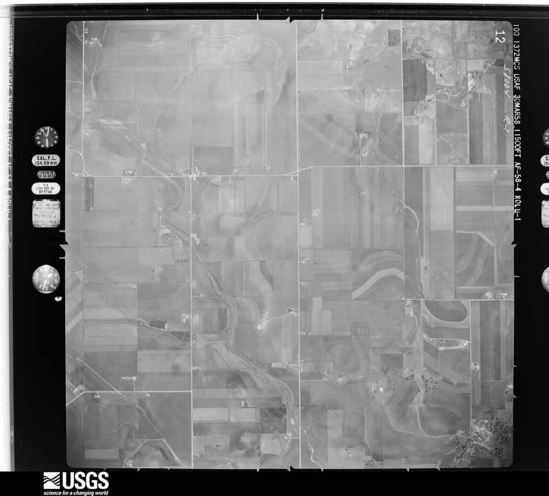
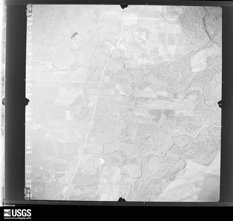
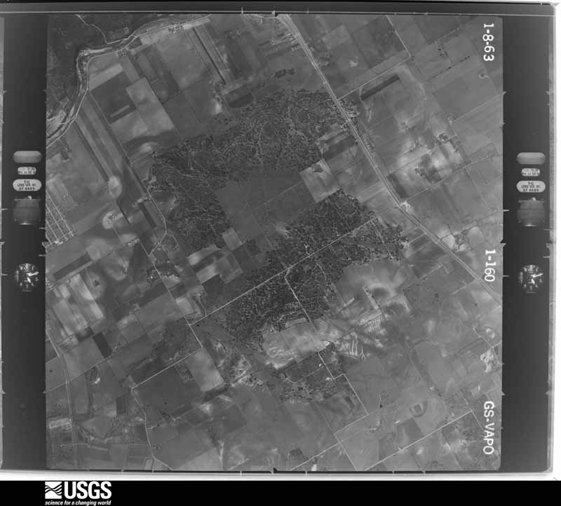
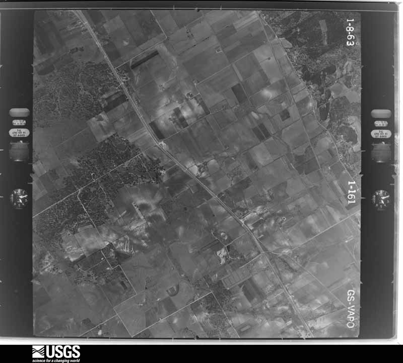
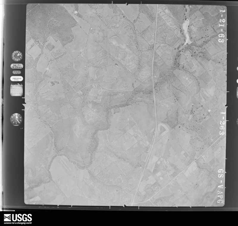
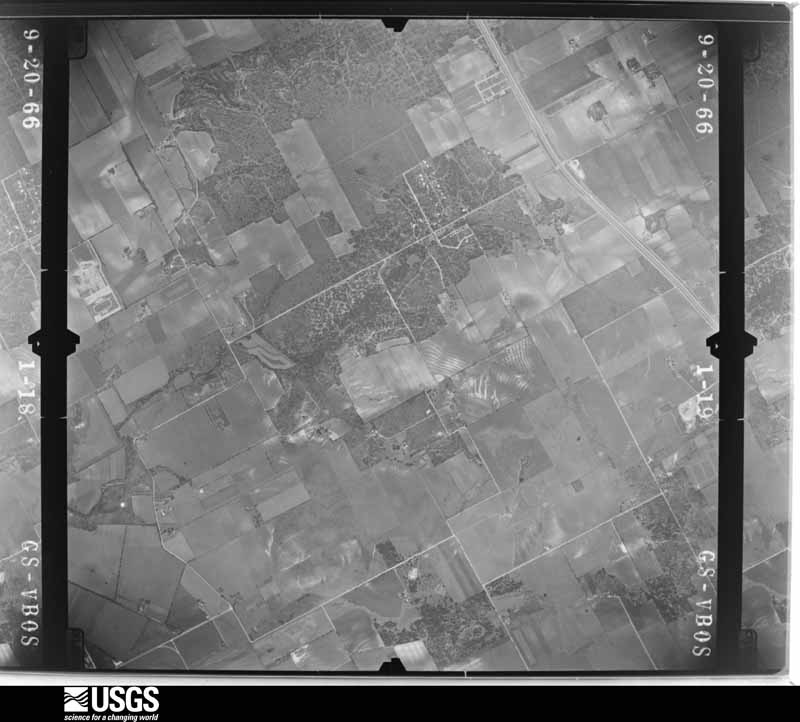
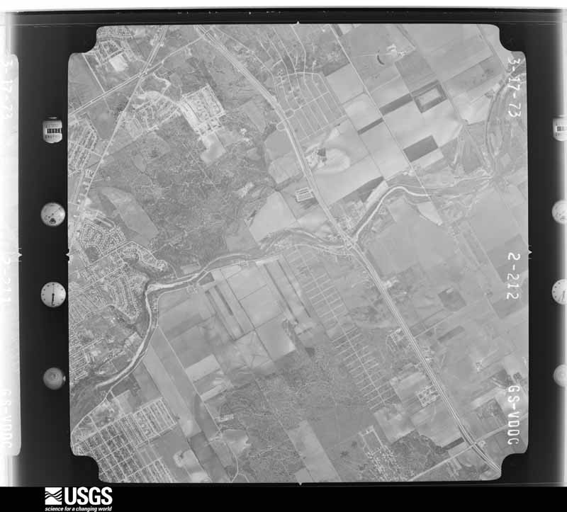
Flown by the U.S. Geological Survey between 1937 and 1989, the Aerial Photo Single Frames collection is the definitive mid-century view of the land: fields, roads and rivers as the camera saw them. The Survey holds 1,699 frames inside the rectangle that bounds this county; the 32 frames below were taken over the county itself, chosen across the decades of flights (at most four a year from that rectangle), so one flight cannot crowd out the rest. The full set is free to browse and download at EarthExplorer under the dataset Aerial Photo Single Frames.

























The thermometers that kept this county's weather, and the gages that measured the flow of its streams, as the federal records hold them. The extremes below are measured values from those records, not estimates.
Who lived here in 1950, one enumeration district at a time, as the Census Bureau described each district. Each row opens its official National Archives result, with Population Schedules and ED Maps available there.
Every wildfire the federal occurrence database records inside this county: 623 of them, burning about 11,724 acres. 5 started naturally and 11 were recorded as arson. Each settlement page carries the fires within five miles of it.
| Reported cause | Fires |
|---|---|
| Missing data/not specified/undetermined | 273 |
| Debris and open burning | 179 |
| Equipment and vehicle use | 108 |
| Smoking | 18 |
| Arson/incendiarism | 11 |
| Misuse of fire by a minor | 9 |
| Power generation/transmission/distribution | 9 |
| Recreation and ceremony | 7 |
| Natural | 5 |
| Railroad operations and maintenance | 4 |
The five largest, by the area the report gives. None of them was recorded as arson.
| Date | Cause | Size | Reported by | Name on the report |
|---|---|---|---|---|
| 24 December 2005 | Missing data/not specified/undetermined | 2,000 acres | Texas A & M Forest Service | not named |
| 24 December 2005 | Missing data/not specified/undetermined | 1,000 acres | Texas A & M Forest Service | not named |
| 2 August 2018 | Missing data/not specified/undetermined | 800 acres | Texas A & M Forest Service | JAHNS RD FIRE |
| 1 January 2008 | Missing data/not specified/undetermined | 500 acres | Texas A & M Forest Service | not named |
| 1 February 2008 | Equipment and vehicle use | 350 acres | Texas A & M Forest Service | not named |
| 3 January 2006 | Debris and open burning | 300 acres | Texas A & M Forest Service | WEST ZONE SOUTH - 8 |
| 8 January 2018 | Missing data/not specified/undetermined | 200 acres | Texas A & M Forest Service | BRUSH FIRE TOWER RD |
| 18 January 2009 | Debris and open burning | 200 acres | Texas A & M Forest Service | SCHMUCKS ROAD |
Every settlement page carries the fires within five miles of it - see the settlement index below.
The NOAA Storm Events Database holds 367 reports for this county, causing 8 deaths, 546 injuries and about $36,550,250 in recorded property damage. Each settlement page carries the reports that name it.
| Kind of event | Reports |
|---|---|
| Thunderstorm Wind | 129 |
| Hail | 112 |
| Flash Flood | 95 |
| Tornado | 25 |
| Funnel Cloud | 2 |
| Flood | 2 |
| Lightning | 2 |
The most serious of them, by death, then injury, then recorded damage. The accounts are quoted exactly as the forecast office filed them.
| When | Event | Place named | Harm | What the report says |
|---|---|---|---|---|
| October 1998 | Flash Flood | Countywide | 4 killed, 500 hurt, $5,000,000 | no account filed |
| November 2001 | Flash Flood | Countywide | 1 killed, 5 hurt, $80,000 | Rainfall through the late afternoon brought totals across the county to 2 to 3 inches, with isolated amounts in the Seguin area to near 6 inches. Widespread flash flooding swept cars into low water crossings across the county. The occupants of a mobile-home park were forced to evacuate when flood waters threatened their area. Some buildings of the Schertz-Cibolo-Universal City school district were flooded. A 19-year old woman was drowned after the car she was riding in became stranded at a low water crossing across Geronimo Creek. The driver was rescued. Another vehicle was stalled in the deep water at the same time, but all occupants of that vehicle were able to be rescued. |
| March 2017 | Flash Flood | Marion | 1 killed | Heavy rain during the evening of March 9 caused Santa Clara Creek to flood a low water crossing on the I-10 access road near exit 599. A car was swept off the road and a woman passenger was killed. |
| May 2013 | Flash Flood | Senertz | 1 killed | An 18 year old male was killed when he unsuccessfully tried to cross a rain swollen Cibolo Creek around 4 pm. His body was recovered that evening near the area where he went missing. |
| March 2007 | Flash Flood | Seguin | 1 killed | Thunderstorms across the northern half of Guadalupe County produced general 2 inch rainfall with up to 6 inches near Kingsbury. Flash flooding closed FM20 and FM621, among many other area roads through the early morning hours. Three men and a woman were attempting to drive through a low area on Laubach Road around 0120 am CST on Laubach Road that was experiencing flash flooding from nearby Geronimo Creek. Their car stalled and the three men attempted to push the car to safety while the woman steered. Unfamiliar with this area, and in the dark, they became confused and moved the car the wrong direction, causing it to be swept into Geronimo Creek. The men escaped the flash flooding safely but the young woman was swept downstream and drowned. |
| June 1997 | Flash Flood | Countywide | 20 hurt, $300,000 | no account filed |
| December 1953 | Tornado (F3) | not stated | 10 hurt, $250,000 | no account filed |
| September 2001 | Flash Flood | North Portion | 4 hurt, $80,000 | no account filed |
| August 1988 | Thunderstorm Wind | not stated | 3 hurt | no account filed |
| March 2002 | Thunderstorm Wind | Countywide | 2 hurt, $500,000 | High winds across the county caused widespread damage to homes, trees and outbuildings. Damage in the south part of the county was more spotty than over the north part. An anemometer at a school weather network in Seguin measured the wind gusts at 59 knots. Near Zorn, the high winds took sections of roofs off homes, and rolled and damaged several homes and mobile homes. One mobile home had been rolled over a truck and was completely destroyed. Close inspection of the damage revealed a divergent, fan-shaped path of damage with the strongest damage in the center portion where the mobile home was destroyed, and lesser damage on both sides. To the left, another mobile home was moved, but with only minor damage. To the right, a tractor was rolled for a short distance. This damage was clearly due to a downburst. One woman, on hearing the NWS warning, evacuated her mobile home and drove with her son to her mother's house nearby. When she returned, her mobile home had been destroyed. Both likely escaped severe injuries by getting to shelter. At this time the event began to assume the character of a derecho. |
| March 1994 | Hail | Schertz-Cibolo | 1 hurt, $5,000,000 | The thunderstorms moved eastward from Bexar County into Comal and Guadalupe Counties shortly after 0100 CST, producing damaging wind at New Braunfels and large hail at Schertz and Cibolo. They reached the city of Seguin just before 0200 CST. The Guadalupe County Sheriff reported 0.50- to 1-inch hail at Seguin near 0150 CST. Damaging winds occurred at the same time, uprooting several trees and knocking down numerous large tree limbs. This thunderstorm system caused extensive property damage and cut off electric service to 11,000 homes. Eleven power lines that had been built to withstand over 100 mph winds were twisted and toppled by the storm. Damage was the most severe from the New Braunfels and Schertz area eastward to Staples. Twenty-one residences in Schertz, Cibolo, and Marion were damaged, with four mobile homes destroyed and four with major damage. Winds were estimated at 50 to 60 mph, with golf ball-size hail. One woman at a flea market on the Interstate 35 portion of Schertz was hit by flying debris and was taken to a hospital. Damage in the Schertz-Cibolo region was estimated at well over $2 million. Barns and storage areas were blown over or damaged. Other damage was mainly to roofs and windows of houses and to windows of automobiles. |
| October 1956 | Tornado (F2) | not stated | 1 hurt, $2,500 | no account filed |
| June 2010 | Flood | Clear Spg | $10,000,000 | A flood wave went down the Guadalupe River and affect homes along the river from New Braunfels down to Seguin. Property damage including flooded homes, trailers, vehicles, and boats, was seen along the banks of the river including areas around Lake Dunlap and Lake McQueeney. A total of 231 homes were damaged in Guadalupe County along the Guadalupe River. No damage estimate was available. |
| March 1994 | Hail | Seguin | $5,000,000 | The thunderstorms moved eastward from Bexar County into Comal and Guadalupe Counties shortly after 0100 CST, producing damaging wind at New Braunfels and large hail at Schertz and Cibolo. They reached the city of Seguin just before 0200 CST. The Guadalupe County Sheriff reported 0.50- to 1-inch hail at Seguin near 0150 CST. Damaging winds occurred at the same time, uprooting several trees and knocking down numerous large tree limbs. This thunderstorm system caused extensive property damage and cut off electric service to 11,000 homes. Eleven power lines that had been built to withstand over 100 mph winds were twisted and toppled by the storm. Damage was the most severe from the New Braunfels and Schertz area eastward to Staples. Twenty-one residences in Schertz, Cibolo, and Marion were damaged, with four mobile homes destroyed and four with major damage. Winds were estimated at 50 to 60 mph, with golf ball-size hail. One woman at a flea market on the Interstate 35 portion of Schertz was hit by flying debris and was taken to a hospital. Damage in the Schertz-Cibolo region was estimated at well over $2 million. Barns and storage areas were blown over or damaged. Other damage was mainly to roofs and windows of houses and to windows of automobiles. |
| March 1994 | Thunderstorm Wind | Seguin | $5,000,000 | The thunderstorms moved eastward from Bexar County into Comal and Guadalupe Counties shortly after 0100 CST, producing damaging wind at New Braunfels and large hail at Schertz and Cibolo. They reached the city of Seguin just before 0200 CST. The Guadalupe County Sheriff reported 0.50- to 1-inch hail at Seguin near 0150 CST. Damaging winds occurred at the same time, uprooting several trees and knocking down numerous large tree limbs. This thunderstorm system caused extensive property damage and cut off electric service to 11,000 homes. Eleven power lines that had been built to withstand over 100 mph winds were twisted and toppled by the storm. Damage was the most severe from the New Braunfels and Schertz area eastward to Staples. Twenty-one residences in Schertz, Cibolo, and Marion were damaged, with four mobile homes destroyed and four with major damage. Winds were estimated at 50 to 60 mph, with golf ball-size hail. One woman at a flea market on the Interstate 35 portion of Schertz was hit by flying debris and was taken to a hospital. Damage in the Schertz-Cibolo region was estimated at well over $2 million. Barns and storage areas were blown over or damaged. Other damage was mainly to roofs and windows of houses and to windows of automobiles. |
| July 2025 | Flash Flood | Sullivan | $2,500,000 | Thunderstorms produced heavy rain while slowly moving west across Guadalupe County. Rainfall totals of 4 to 7 inches were recorded with radar estimated totals as high as 9 inches in the Seguin area. The high rain rates caused flash flooding of low-lying and poor drainage areas, leading to at least a dozen water rescues and numerous road closures throughout the city and along I-10. Rapid rises were reported along Walnut and Geronimo Creek. 3 businesses and 2 homes were flooded with 6 to 12 inches of water. The worst flooding was experienced along US-90 Alternate where widespread inundation was observed. Several city parks and recreational facilities sustained damage. Flooding caused at least $2.5 million in damage to public infrastructure. |
| July 2007 | Flash Flood | Zorn | $500,000 | Widespread 3 to 4 inch rainfall was reported over the county, with up to 8 inches in the area from Zorn to Seguin to McQueeny. Widespread severe flooding was reported, with damage to more than a dozen homes. Nearly all rural roads in northwest part of county were closed, including SH46 and SH123. |
| May 1994 | Thunderstorm Wind | Seguin | $500,000 | Damaging winds were reported in and around the city of Seguin for more than an hour. The winds toppled over trees and power lines, leaving over 50 percent of the city without power. Several cars were damaged when trees and tree limbs were blown onto them. |
| June 2004 | Flash Flood | West Portion | $250,000 | Storms dropped between 2 and 3 inches of rain over the western part of Guadalupe County, with up to 6 inches around Marion. Many of the roads near Cibolo Creek were closed due to flash flooding. Emergency responders reacted to two flooded cars in Santa Clara Creek in Cibolo. Dozens of citizens were evacuated from their homes in Glen Cove subdivision. Fifteen of the homes received damage. Around a dozen vehicle high water rescues were made. |
| July 2009 | Lightning | Cibolo Kardys Arpt | $100,000 | Lightning struck a house and caused significant damage due to a resulting fire. |
| March 2000 | Hail | Seguin | $100,000 | Widespread damage was reported to windows and roofs of homes and to cars and vegetation by a combination of a strong downburst and large hail that struck the north side of Seguin. Power lines were also blown down. The initial reports were received from Amateur Radio Operators. Storm damage was later assessed during an NWS Storm Survey. |
| April 2007 | Thunderstorm Wind | Marion | $80,000 | The bow-shaped line along the Comal-Bexar-Wilson line moved into Hays and Guadalupe Counties near midnight, continuing to produce widespread wind gusts of 40 to 50 knots, with spotty higher gusts near 70 knots. Most of the damage in Guadalupe County consisted of trees that had been blown over. |
| June 2004 | Tornado (F0) | New Berlin | $80,000 | The Guadalupe County Emergency Manager reported that a small tornado had touched down just southeast of New Berlin, destroying a barn and damaging several trees. The tornado was small and short-lived. It dissipated shortly after striking the trees. |
| November 2000 | Thunderstorm Wind | Schertz | $80,000 | Widespread wind damage was reported to trees and homes between Schertz and Seguin. |
| March 2000 | Thunderstorm Wind | Seguin | $80,000 | no account filed |
| June 1999 | Thunderstorm Wind | Cibolo | $70,000 | no account filed |
| June 2010 | Thunderstorm Wind | Clear Spg | $50,000 | Straight line thunderstorm winds from a small microburst caused extensive tree damage to an area near Lake Dunlap and Clear Springs. Hardest hit areas were between Zip Road and Potthast Drive near the Guadalupe River bend. Large trees were broken and toppled. Many trees fell on homes and cars in the neighborhood. A roof was blown off a mobile home along Highway 46 in Clear Springs. |
| July 2007 | Tornado (EF2) | Seguin | $50,000 | At approximately 4:25 am CST a tornado estimated to be an EF-2 touched down about 9 miles south of Seguin and 1/4 mile southeast of CR411. The tornado moved northward along SH123 for nearly 1 mile before turning slightly to the north northwest and crossing CR410. It damaged three outbuildings, a residence and a store, but no one was injured. The tornado ranged in width from 50 yards up to 150 yards. The total track length was approximately 2 miles. |
| April 2002 | Flash Flood | West Portion | $50,000 | Flash flooding developed over the the western part of Guadalupe County as 4 inches of rain fell in just under three hours. Only minor damage was indicated to roads and bridges, with more significant damage to crops in the area. |
| November 2001 | Tornado (F0) | New Braunfels | $50,000 | The tornado listed in Comal County above moved into Guadalupe County and dissipated after causing extensive roof damage to two barns and scattered debris in various directions. One barn was completely de-roofed. Some of the metal tin in second barn was lifted and twisted in one direction and toward another direction on the other side of the roof. |
| March 1998 | Thunderstorm Wind | Staples | $50,000 | a trailer was badly damaged by severe thunderstorm winds near Staples. |
| June 2019 | Thunderstorm Wind | Seguin | $30,000 | The Guadalupe Valley Electric Cooperative reported multiple power outages as a result of trees and tree limbs being knocked down on power lines during a severe thunderstorm. |
| October 2002 | Flash Flood | Countywide | $30,000 | Widespread showers and thunderstorms, moving northward from Wilson County, covered most of Guadalupe County by 10 pm. Rain falling at rates of up to 2 inches an hour began to produce countywide flash flooding before midnight and continuing to near sunrise. General rain totals of 3 to 5 inches were indicated with widespread amounts of 6 to 8 inches over the county. Severe flash flooding was reported by the Emergency Manager and the Guadalupe Sheriff's Department over the county. |
| October 2002 | Flash Flood | West Portion | $30,000 | A line of slow-moving thunderstorms produced general 1 inch totals as it crossed Guadalupe County in the early morning hours. Isolated amounts to 4 inches were indicated in the western part of the county. FM467 and SH78 were reported closed in the western half of the county. |
| October 2002 | Flash Flood | Countywide | $30,000 | Showers and thunderstorms had produced general 1 to 2 inch rainfall over Guadalupe County mid-morning. Isolated totals of up to 5 inches were reported. Flash flooding developed in the mid-morning and continued into early afternoon. Minor damage was reported to roads and bridges. |
| April 2001 | Flash Flood | West Portion | $30,000 | Rainfall over Guadalupe County ranged generally from 1 to 2 inches, but up to 4 inches was reported in the extreme western part of the county. Flash flooding took place in the late morning between Marion and Seguin. |
| May 1999 | Thunderstorm Wind | Seguin | $30,000 | Amateur Radio Spotters reported that severe thunderstorm winds had blown over trees just east of Seguin. |
| June 1999 | Thunderstorm Wind | Geronimo | $30,000 | no account filed |
| January 2020 | Thunderstorm Wind | Schertz | $25,000 | A thunderstorm produced wind gusts estimated at 70 mph that damaged fences and carports near Samuel Clemens High School in Schertz. |
| June 1997 | Flash Flood | Countywide | $25,000 | no account filed |
| May 1972 | Tornado (F1) | not stated | $25,000 | no account filed |
| October 1962 | Tornado (F1) | not stated | $25,000 | no account filed |
| April 2023 | Thunderstorm Wind | Kingsbury | $20,000 | A thunderstorm produced wind gusts estimated at 70 mph that blew the roof off of a small barn in Kingsbury. |
| January 2020 | Thunderstorm Wind | New Berlin | $20,000 | A thunderstorm produced wind gusts estimated at 80 mph that blew the roof off a barn at Gin Spur Rd. and Gin Rd. near New Berlin. |
| May 2011 | Thunderstorm Wind | Seguin | $20,000 | A thunderstorm produced wind gusts estimated at 45 knots which caused some roof damage in Seguin. |
| May 1997 | Thunderstorm Wind | Seguin | $20,000 | Severe winds blew a plane over on its top at the Seguin airport. |
| August 2001 | Flash Flood | Countywide | $20,000 | no account filed |
| August 2001 | Flash Flood | Countywide | $20,000 | no account filed |
| August 1998 | Flash Flood | Countywide | $20,000 | no account filed |
| March 2000 | Tornado (F0) | Seguin | $15,000 | A small and short-lived tornado struck near a building along SH46 just north of I-10. The tornado destroyed two large trees. |
| November 2000 | Flash Flood | Countywide | $15,000 | no account filed |
| May 2025 | Thunderstorm Wind | Seguin | $10,000 | A thunderstorm produced wind gusts estimated at 70 mph that snapped a large tree at its trunk and knocked down power lines in northern Seguin. |
| May 2024 | Thunderstorm Wind | Staples | $10,000 | A thunderstorm produced wind gusts estimated at 70 mph that blew the metal roof off of an outbuilding near Staples. |
| June 2019 | Thunderstorm Wind | Sullivan | $10,000 | A resident reported that several homes and barns sustained minor wind damage as storms moved through the area. |
| June 2019 | Thunderstorm Wind | Seguin | $10,000 | A thunderstorm produced wind gusts estimated at 75 mph that damaged a middle school roof in Seguin. |
| May 2015 | Lightning | Redwood | $10,000 | A lightning strike resulted in a power outage affecting several hundred residents in the area. |
| February 2003 | Flash Flood | Countywide | $10,000 | Numerous roads closed as up to 3 inches fell over the area. Due to the soaked soils over the area, flash flooding was more widespread and long-lasting than it normally would have been. Students in the Navarro District were unable to get home by bus that afternoon as roads were closed due to flooding. Several school programs were cancelled that evening. Around a dozen roads were closed due to flooding. |
| November 2002 | Flash Flood | Countywide | $10,000 | General 1 inch rainfall with isolated totals to 3.5 inches near Seguin and Kingsbury produced flash flooding from early afternoon into the evening hours. Only minor damage to county roads was reported. |
| December 2002 | Flash Flood | North Portion | $10,000 | Guadalupe County received general 2 inch rains in the early morning hours, with up to 4 inches between Kingsbury and Luling. With soils still saturated from recent rain, brief flash flooding took place across the northern half of the county. |
| June 2002 | Flash Flood | West Portion | $10,000 | General 1 to 2 inch rainfall totals with isolated amounts of up to 4 inches. |
The Survey's mineral resources record lists 9 workings inside this county. 7 still produce and 2 are closed or unrecorded. Each settlement page carries the workings within five miles of it.
| Commodity | Workings |
|---|---|
| Sand and Gravel, Construction | 5 |
| Clay | 4 |
The least common of them first, because a county's hundredth gravel pit says nothing its first ten did not.
| Where | Site | Commodity | Status | Recorded |
|---|---|---|---|---|
| Balcones Pit | Clay | Producer | Sedimentary | |
| Fraser | Clay | Unknown | ||
| Mcqueeney Pit | Clay | Producer | Sedimentary | |
| Unnamed Pit | Clay | Producer | Sedimentary | |
| Beck Pit & Plant | Sand and Gravel, Construction | Producer | ||
| Cibolo Ck Pit No. 2 | Sand and Gravel, Construction | Past Producer | ||
| Schaffer Road Plant | Sand and Gravel, Construction | Producer | ||
| Unnamed Pit | Sand and Gravel, Construction | Producer | Gravel, Sand | |
| Unnamed Pit | Sand and Gravel, Construction | Producer | Gravel, Sand |
Named settlements recorded in the Geographic Names Information System, each with the topographic sheets covering it. Villages, hamlets and abandoned places alike. Each is shown with the nearest named watercourse or landform and the survey quadrangle it falls on.
Seguin census division · 78130 · Near Harborth Hill · New Braunfels East quadrangle
14 sheets, 1925 to 1992
Schertz-Cibolo census division · 78108 · On Town Creek · Marion quadrangle
14 sheets, 1927 to 1992
Seguin census division · 78130 · New Braunfels East quadrangle
14 sheets, 1925 to 1992
Southeast Guadalupe census division · 78155 · On Elm Creek · Seguin quadrangle
16 sheets, 1911 to 1985
Northeast Guadalupe census division · 78638 · On Long Creek · Geronimo quadrangle
15 sheets, 1911 to 1985
Seguin census division · 78155 · On Alligator Creek · Geronimo quadrangle
15 sheets, 1911 to 1985
Schertz-Cibolo census division · 78108 · On Town Creek · Marion quadrangle
14 sheets, 1927 to 1992
Southwest Guadalupe census division · 78155 · Thomas Springs quadrangle
13 sheets, 1920 to 1985
Northeast Guadalupe census division · 78155 · Kingsbury quadrangle
15 sheets, 1911 to 1985
Schertz-Cibolo census division · 78130 · New Braunfels East quadrangle
14 sheets, 1925 to 1992
Seguin census division · 78123 · On Youngs Creek · McQueeney quadrangle
14 sheets, 1924 to 1992
Seguin census division · 78155 · On Deadman Creek · McQueeney quadrangle
14 sheets, 1924 to 1992
Southwest Guadalupe census division · 78155 · McQueeney quadrangle
14 sheets, 1924 to 1992
Southwest Guadalupe census division · 78155 · New Berlin quadrangle
9 sheets, 1954 to 1985
Seguin census division · 78155 · On Youngs Creek · McQueeney quadrangle
14 sheets, 1924 to 1992
Northeast Guadalupe census division · 78666 · San Marcos South quadrangle
13 sheets, 1911 to 1985
Southwest Guadalupe census division · 78155 · On Buzzard Creek · McQueeney quadrangle
14 sheets, 1924 to 1992
Schertz-Cibolo census division · 78154 · On Dietz Creek · Schertz quadrangle
11 sheets, 1953 to 1992
Schertz-Cibolo census division · 78130 · New Braunfels East quadrangle
14 sheets, 1925 to 1992
Seguin census division · 78155 · On Walnut Branch · Seguin quadrangle
16 sheets, 1911 to 1985
Southwest Guadalupe census division · 78155 · New Berlin quadrangle
9 sheets, 1954 to 1985
Seguin census division · 78155 · On Deadman Creek · McQueeney quadrangle
14 sheets, 1924 to 1992
Northeast Guadalupe census division · 78666 · San Marcos South quadrangle
13 sheets, 1911 to 1985