 Block
BlockFrom the record
1 National Register listing published here.
Sources: the National Register database, National Park Service
14 topographic sheets cover 9 settlements here, and 1 property is on the National Register of Historic Places.
1 National Register listing published here.
Sources: the National Register database, National Park Service
Every property in this county listed on the National Register of Historic Places, with the year it was listed and the federal nomination document.
| Photograph | Property | Type | Listed | Reference |
|---|---|---|---|---|
 | Hansford County Courthouse | building | 2019 | 100003537 |
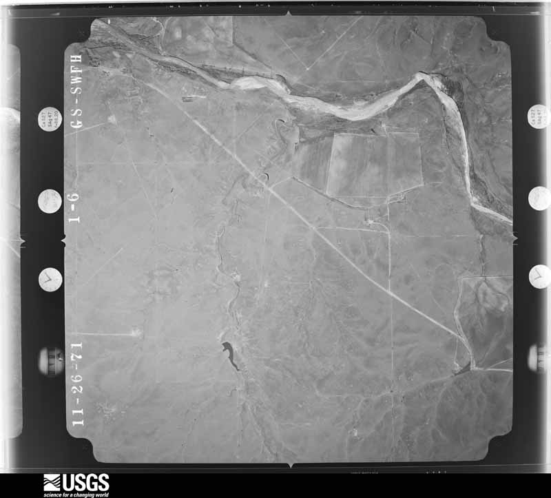
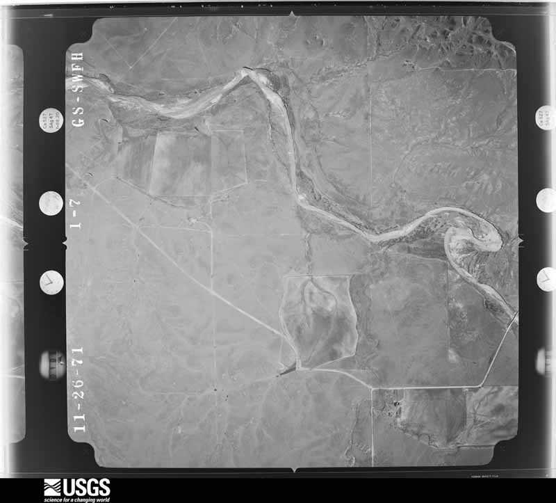
Flown by the U.S. Geological Survey between 1937 and 1989, the Aerial Photo Single Frames collection is the definitive mid-century view of the land: fields, roads and rivers as the camera saw them. The Survey holds 837 frames inside the rectangle that bounds this county; the 19 frames below were taken over the county itself, chosen across the decades of flights (at most four a year from that rectangle), so one flight cannot crowd out the rest. The full set is free to browse and download at EarthExplorer under the dataset Aerial Photo Single Frames.
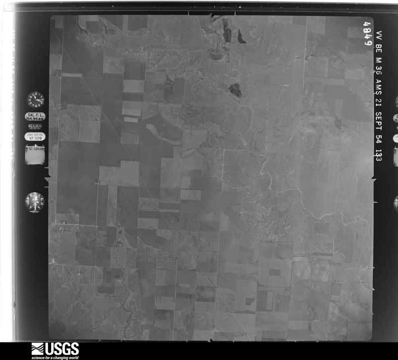
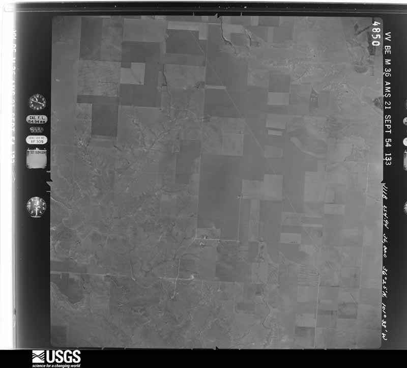
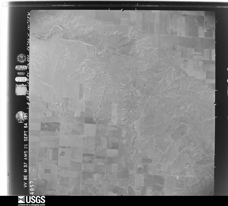
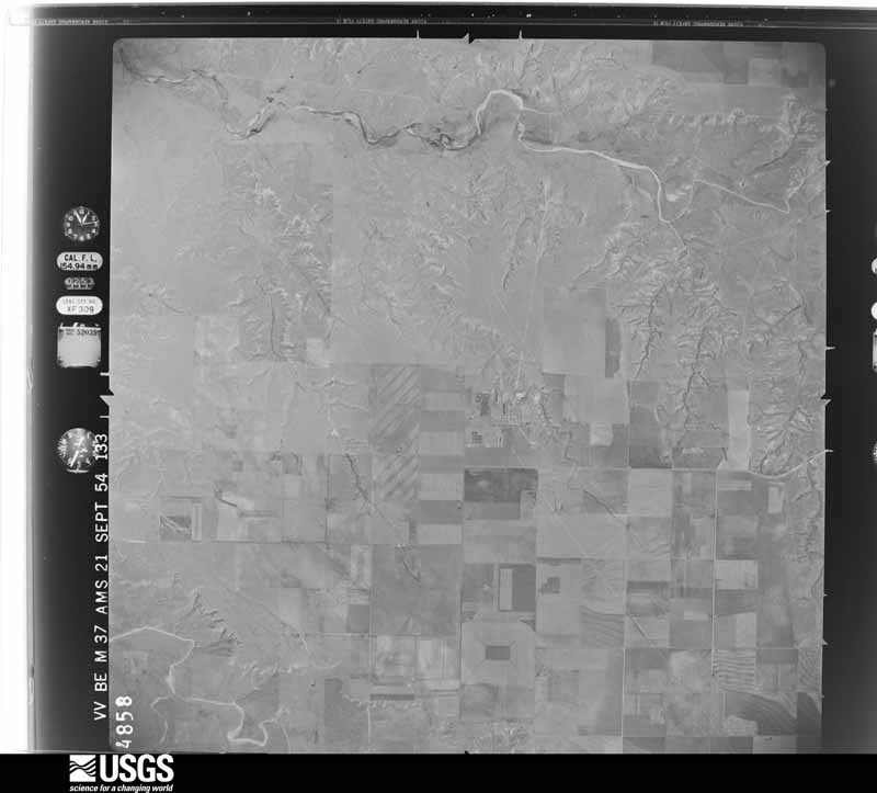
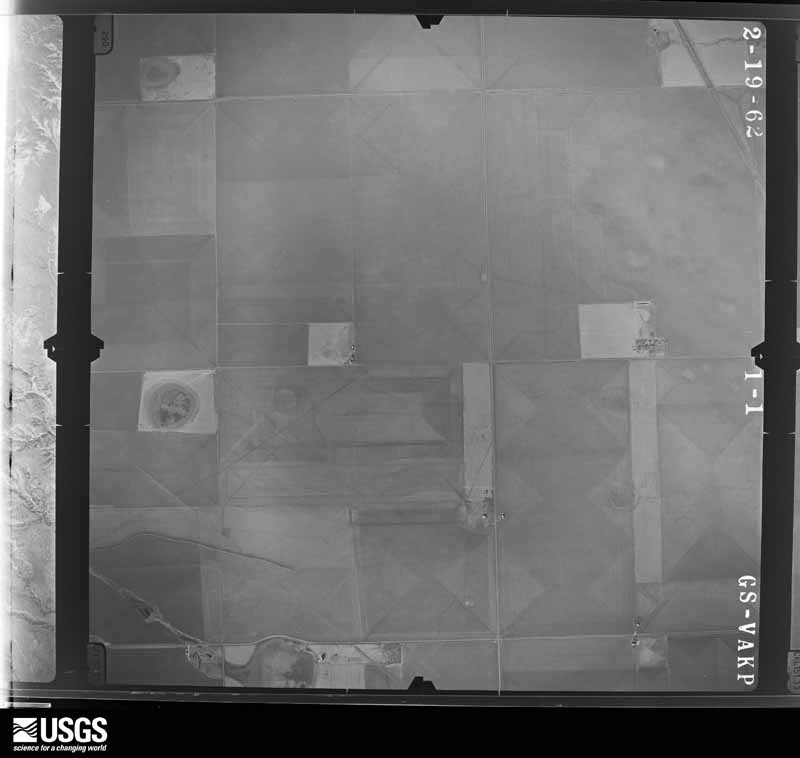
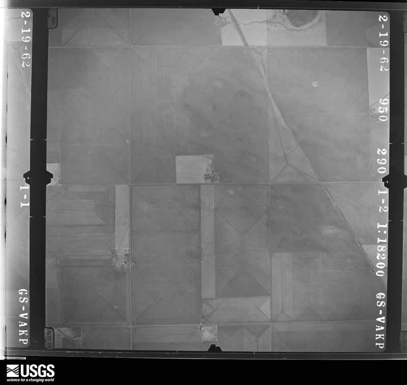





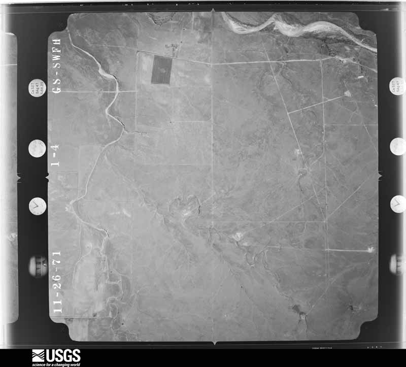
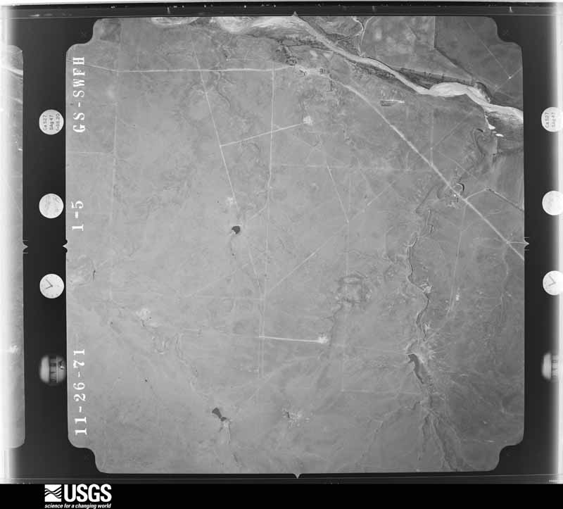




The thermometers that kept this county's weather, and the gages that measured the flow of its streams, as the federal records hold them. The extremes below are measured values from those records, not estimates.
Who lived here in 1950, one enumeration district at a time, as the Census Bureau described each district. Each row opens its official National Archives result, with Population Schedules and ED Maps available there.
Every wildfire the federal occurrence database records inside this county: 189 of them, burning about 21,386 acres. 34 started naturally and 3 were recorded as arson. Each settlement page carries the fires within five miles of it.
| Reported cause | Fires |
|---|---|
| Missing data/not specified/undetermined | 70 |
| Equipment and vehicle use | 51 |
| Natural | 34 |
| Power generation/transmission/distribution | 19 |
| Debris and open burning | 8 |
| Arson/incendiarism | 3 |
| Smoking | 2 |
| Misuse of fire by a minor | 1 |
| Recreation and ceremony | 1 |
The five largest, by the area the report gives. One of them was set deliberately.
| Date | Cause | Size | Reported by | Name on the report |
|---|---|---|---|---|
| 24 May 2011 | Power generation/transmission/distribution | 7,500 acres | Texas A & M Forest Service | OSLO FIRE |
| 16 June 2006 | Natural | 1,500 acres | Texas A & M Forest Service | not named |
| 7 November 2007 | Arson/incendiarism | 1,200 acres | Texas A & M Forest Service | not named |
| 10 July 2009 | Equipment and vehicle use | 1,000 acres | Texas A & M Forest Service | DAHL CRP GRASS FIRE |
| 27 November 2016 | Power generation/transmission/distribution | 1,000 acres | Texas A & M Forest Service | VENNAMEN GRASS FIRE #3 |
| 20 June 2006 | Natural | 800 acres | Texas A & M Forest Service | not named |
| 23 May 2006 | Natural | 600 acres | Texas A & M Forest Service | not named |
| 20 July 2016 | Power generation/transmission/distribution | 500 acres | Texas A & M Forest Service | PITTMAN FIRE |
Every settlement page carries the fires within five miles of it - see the settlement index below.
The NOAA Storm Events Database holds 499 reports for this county, causing no deaths, 17 injuries and about $8,244,780 in recorded property damage. Each settlement page carries the reports that name it.
| Kind of event | Reports |
|---|---|
| Hail | 296 |
| Thunderstorm Wind | 115 |
| Tornado | 69 |
| Flash Flood | 8 |
| Funnel Cloud | 4 |
| Heavy Rain | 4 |
| Flood | 3 |
The most serious of them, by death, then injury, then recorded damage. The accounts are quoted exactly as the forecast office filed them.
| When | Event | Place named | Harm | What the report says |
|---|---|---|---|---|
| June 1982 | Tornado (F2) | not stated | 10 hurt, $250,000 | no account filed |
| March 1982 | Tornado (F4) | not stated | 5 hurt, $2,500,000 | no account filed |
| April 2001 | Tornado (F2) | Spearman | 2 hurt, $750,000 | An official storm damage survey was made on the tornado path length and width. The tornado destroyed several grain bins and a grain elevator to Agco facility. Extensive damage also occurred at a local farm...including the home...barns and equipment. Several power poles also were blown down. |
| May 1990 | Tornado (F2) | not stated | $2,500,000 | no account filed |
| June 2003 | Tornado (F0) | Spearman | $600,000 | A damage survey was made on this tornado. Minor damage occurred on a farm home with major damage to several grain elevators and to buildings and other structures on the premises. No injuries were reported from the tornado. |
| June 2003 | Thunderstorm Wind | Spearman | $550,000 | A damage assessment was made on this event in which it was determined that a combination of straight-line winds and a tornado...which occurred almost simultaneously...resulted in considerable damage across the southern half of Hansford county. There was moderate damage to barns...outbuildings...and farm equipment along with damage to fences...large trees...and irrigation sprinklers. The evidence suggests that most of the significant damage was the result of the straight-line downburst winds rather than from the tornado. No injuries were reported from the straight-line downburst winds. |
| June 1980 | Tornado (F1) | not stated | $250,000 | no account filed |
| June 2003 | Thunderstorm Wind | Spearman | $100,000 | Numerous power poles were reported broken. |
| June 2025 | Tornado (EF2) | Spearman | $95,000 | This tornado developed south of W 13th Avenue to the southeast of Spearman, producing its first signs of damage once it crossed CR Y just east of CR 27. EF-1 damage occurred in the area including two small pinyon trees being uprooted with others having branches snapped, as well as metal barns having lost several side and|roofing panels. The tornado continued tracking to the south-southeast, pulling roofing and siding off multiple metal barns near CR AA and CR 28. The strongest damage occurred when it crossed CR 28 to the southeast, snapping several wooden power|poles. This is where the tornado achieved peak intensity and earned the EF-2 rating. In the later stages of its life, the tornado flipped single sections of irrigation pivots just north of FM 281, and again as it crossed into far northeast Hutchinson county before eventually lifting. Along the western edge of the track, there were several instances of damage due to strong winds associated with the rear flank downdraft of the supercell. This included snapped wooden power lines and flipped irrigation pivots. The maximum estimated winds were 115mph. The total track length was around 9.5 miles. |
| April 2001 | Thunderstorm Wind | Spearman | $90,000 | High winds did considerable damage to a home...barn...and sheds on a local farm. |
| August 2020 | Thunderstorm Wind | Spearman | $61,000 | Two miles of power poles blown down on County Road 28 around 1/2 mile south of county road 759. |
| May 2024 | Tornado (EF1) | Spearman | $50,000 | This tornado occurred on the northeast side of Spearman. It initially touched down near Brandt Street and Kenneth Avenue(FM 759 760). Here it snapped some tree branches, lifted some carports and caused minor fence damage. It then traveled north along County Road 25, where it snapped a few power poles and this is where it was given its highest rating. As it neared Highway 15, it collapsed an empty grain silo and caused some minor shingle damage to a few roofs along County Road 25. The tornado|turned east, crossing Highway 15 and caused additional minor roof damage and snapped branches to hardwood trees. It finally lifted just to the east of Highway 15. The maximum estimated wind speed was 98mph. |
| September 1993 | Hail | Bernstein | $50,000 | no account filed |
| June 2025 | Thunderstorm Wind | Spearman | $40,000 | The outer extent of the EF2 tornado that occurred southeast of Spearman also produced wind damage. This was likely caused by very strong winds associated with the rear flank downdraft of the supercell rather than the tornado itself. About two power poles were broken and a few others were leaning from the strong winds. An irrigation pivot was also turned over. |
| June 2012 | Thunderstorm Wind | Spearman | $30,000 | The Emergency Management Office reported that there was metal debris from a cotton gin that was strewn about. Also, one corn field was completely stripped and destroyed from the thunderstorm wind gusts. There were no reports of injuries or fatalities. |
| August 2020 | Thunderstorm Wind | Spearman | $27,000 | Received a report of 15 power poles blown down or snapped on County Road X just west of Highway 207. |
| August 2024 | Thunderstorm Wind | Spearman | $25,000 | Four power poles were snapped by thunderstorms, likely a microburst, along Farm to Market Road 51 near the Adobe Walls Gin. These were all laying towards the road. |
| June 1999 | Tornado (F0) | Spearman | $25,000 | The tornado lifted a roof off of a house. The tornado track was estimated. |
| May 1995 | Hail | Gruver | $25,000 | no account filed |
| May 1987 | Tornado (F3) | not stated | $25,000 | no account filed |
| June 1971 | Tornado (F2) | not stated | $25,000 | no account filed |
| June 1962 | Tornado (F1) | not stated | $25,000 | no account filed |
| August 2020 | Thunderstorm Wind | Spearman | $23,000 | Received a report of 13 power poles blown down or snapped on County Road Y just east of 760. |
| July 2025 | Thunderstorm Wind | Gruver | $20,000 | Irrigation pivots were flipped over by the winds. |
| May 2024 | Tornado (EF0) | Spearman | $15,000 | This tornado touched down to the west of County Road 24 where it snapped the top branches and trunk of a couple of hardwood trees. It then traveled south, crossing County Road 24 and lifting the roof off of a building at the Storage Depot. It continued south and caused minor damage to a nearby shed. The tornado lifted before it reached Highway 207. The maximum estimated wind speed was 85mph. |
| June 2000 | Thunderstorm Wind | Spearman | $15,000 | Sheriff's Office reported street signs blown down. |
| May 2024 | Tornado (EF0) | Spearman | $10,000 | A small, weak tornado moved east across the Spearman High school football field and into open country. There are multiple videos showing the small tornado crossing Cotter Drive before dissipating. The tornado damaged one small shed and pushed a utility trailer onto its side but didn't damage power lines along the road which supports an EF0 rating. The maximum estimated wind speed was 80mph. |
| May 2024 | Thunderstorm Wind | Spearman | $10,000 | A large tree was blown down onto a brick fence which also suffered damage from the collision. |
| April 2000 | Thunderstorm Wind | Gruver | $10,000 | Roof was lifted off a lumber building and deposited into a vacant lot across the street from the business. A large section of an elm tree was sheered by the high wind onto the court house lawn and a large circular trampoline was enmeshed in the top of a tree. Several yard fences were blown down. |
| June 1999 | Tornado (F0) | Morse | $10,000 | The tornado remained over open country and the track was estimated. Some power poles were damaged. |
| June 2025 | Hail | Spearman | $7,000 | no account filed |
| May 2010 | Tornado (EF0) | Spearman | $6,000 | The tornado began about four miles west of Spearman Texas at 1929 CST and lifted about four miles northwest of Spearman Texas at 1942 CST. Minor damage to some structures was reported on a farmstead and also large trees were knocked down. The tornado path length and path width were estimated. |
| April 2025 | Hail | Gruver | $5,000 | Half dollar to golfball size hail fell to the northwest of Gruver. |
| April 2025 | Hail | Spearman | $3,000 | no account filed |
| April 2025 | Hail | Spearman | $3,000 | no account filed |
| June 2025 | Hail | Spearman | $3,000 | no account filed |
| May 1990 | Tornado (F0) | not stated | $2,500 | no account filed |
| October 1971 | Tornado (F1) | not stated | $2,500 | no account filed |
| June 1967 | Tornado (F1) | not stated | $2,500 | no account filed |
| July 2011 | Thunderstorm Wind | Gruver | $2,000 | Local law enforcement officials reported that two power poles had blown down by downburst thunderstorm winds near the intersection of Texas State Highway 207 and County Road H about ten miles northeast of Gruver Texas in Hansford County. There were no reports of injuries or fatalities. |
| June 2025 | Flood | Gruver | $1,000 | Main Avenue in Gruver was covered in water. |
| August 2009 | Hail | Spearman | $1,000 | The large hail produced a dent in a vehicle the size of a grapefruit. |
| July 1981 | Tornado (F0) | not stated | $250 | no account filed |
| June 1975 | Tornado (F1) | not stated | $30 | no account filed |
| May 2025 | Thunderstorm Wind | Spearman | - | Multiple wind gusts in excess of 58 mph occurred between 1934CDT and 2114CDT. Peak wind gusts of 67 mph occurred at 1939CDT under decaying thunderstorms. |
| May 2025 | Thunderstorm Wind | Spearman | - | The AWOS station located one mile north-northwest of Spearman measured a 61mph wind gust from showers and thunderstorms in the area. |
| April 2025 | Hail | Hitchland | - | A few inches of hail accumulated and the largest hailstone was quarter size. |
| June 2025 | Thunderstorm Wind | Spearman | - | Wind gusts over 60mph occurred for two minutes. |
| June 2025 | Tornado (EFU) | Gruver | - | This tornado was captured via storm spotter video crossing Highway 207. It was not a well defined tornado but there was definitely circulation that crossed the highway. As it|encountered power lines, it resulted in no damage to them though there was some swaying of the lines as it moved through. |
| June 2025 | Tornado (EFU) | Spearman | - | This tornado was documented by storm spotter picture. No damage is known to have occurred from this tornado. |
| September 2025 | Thunderstorm Wind | Spearman | - | This wind gust was most likely caused by virga showers as winds gusted from the west-southwest with the only near by thunderstorm located to the northeast. |
| May 2024 | Hail | Spearman | - | Hail of quarter size fell around Spearman, including some hail that was slightly larger than quarter size. This fell at the Lowes Market along Highway 207. |
| May 2024 | Hail | Gruver | - | Dime to penny size hail fell around Gruver. |
| May 2023 | Hail | Morse | - | This hail was measured 30 minutes after the storm had left the area. |
| April 2022 | Hail | Spearman | - | Several reports came in from a storm chasers and trained spotters for hail between 0.75 and 2 in diameter. |
| May 2022 | Thunderstorm Wind | Spearman | - | West Texas mesonet site Palo Duro Reservoir | 1 NW. Heat burst suspected with temperature | increase of 10 degrees and dew point | temperature decrease of 13 degrees in a 5 | minute period. |
| August 2022 | Thunderstorm Wind | Spearman | - | Damage reported of downed trees on Kenneth AVE, along with a roof blown off of a shed, and a nearby baseball field dugout cover was blown over. |
| June 2022 | Thunderstorm Wind | Spearman | - | Grain bins destroyed in Spearman. |
| June 2022 | Thunderstorm Wind | Spearman | - | Peak gust occurred at 04212CDT. |
| June 2022 | Thunderstorm Wind | Gruver | - | Multiple tree branches ranging from 1 to 3 in diameter were reported to be knocked down. |
The Survey's mineral resources record lists 1 working inside this county. It still produces. Each settlement page carries the workings within five miles of it.
| Commodity | Workings |
|---|---|
| Stone, Crushed/Broken | 1 |
The least common of them first, because a county's hundredth gravel pit says nothing its first ten did not.
| Where | Site | Commodity | Status | Recorded |
|---|---|---|---|---|
| Sanders Pit | Stone, Crushed/Broken | Producer |
Named settlements recorded in the Geographic Names Information System, each with the topographic sheets covering it. Villages, hamlets and abandoned places alike. Each is shown with the nearest named watercourse or landform and the survey quadrangle it falls on.