 Block
BlockFrom the record
2 National Register listings published here.
Sources: the National Register database, National Park Service
18 topographic sheets cover 9 settlements here, and 2 properties are on the National Register of Historic Places.
2 National Register listings published here.
Sources: the National Register database, National Park Service
Every property in this county listed on the National Register of Historic Places, with the year it was listed and the federal nomination document.
| Photograph | Property | Type | Listed | Reference |
|---|---|---|---|---|
| Hartley County Courthouse and Jail | building | 1987 | 87002237 | |
| XIT General Office | building | 1985 | 85000960 |
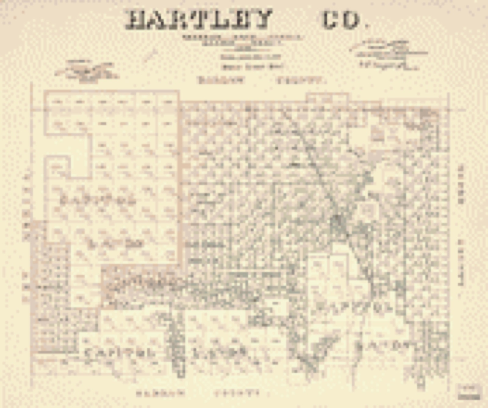
Drawn when these were printed as single large sheets: the town seen from the air, and the county divided into its farms with every owner named. Each opens the original at the Library of Congress.
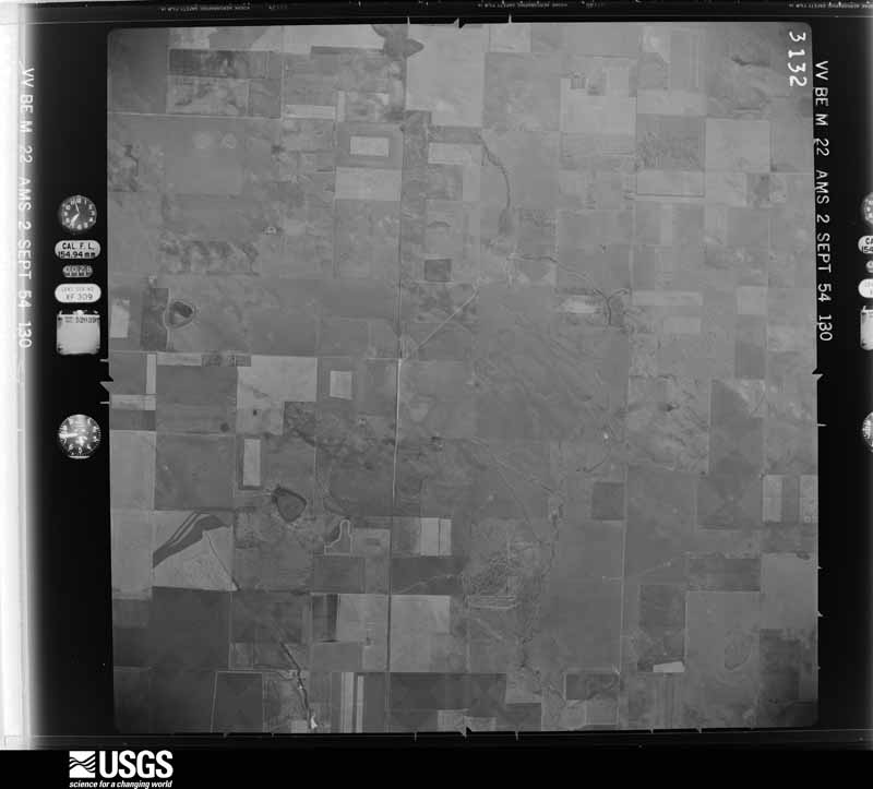
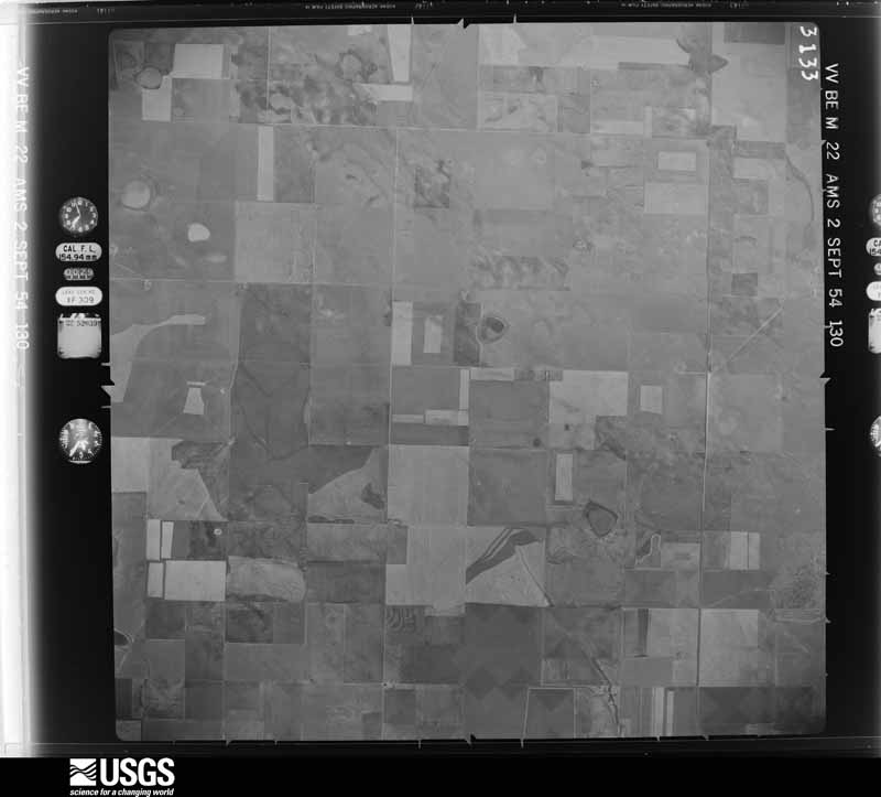
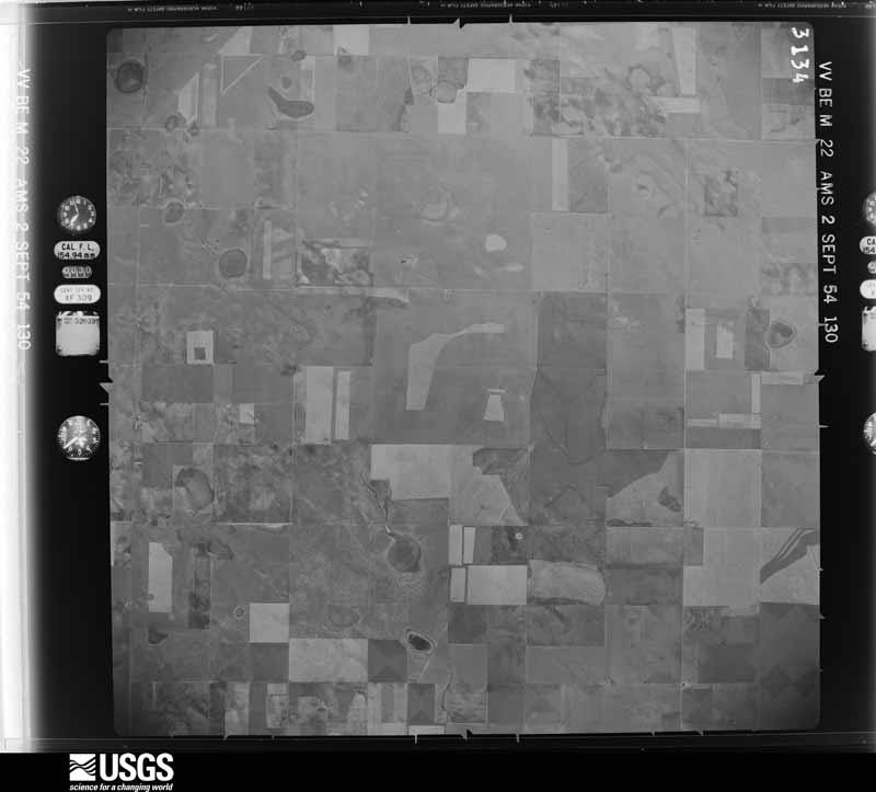
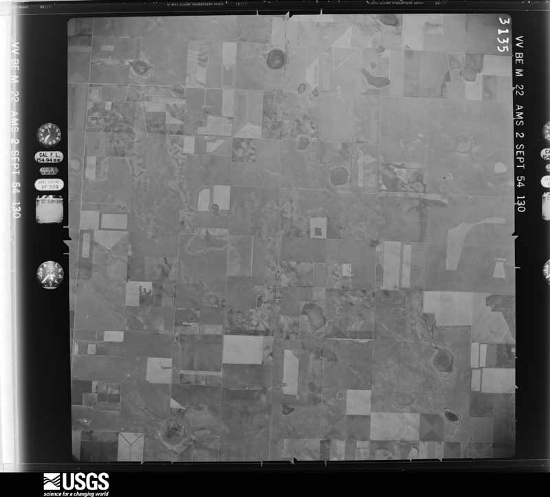
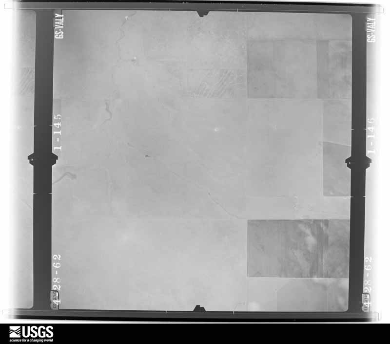
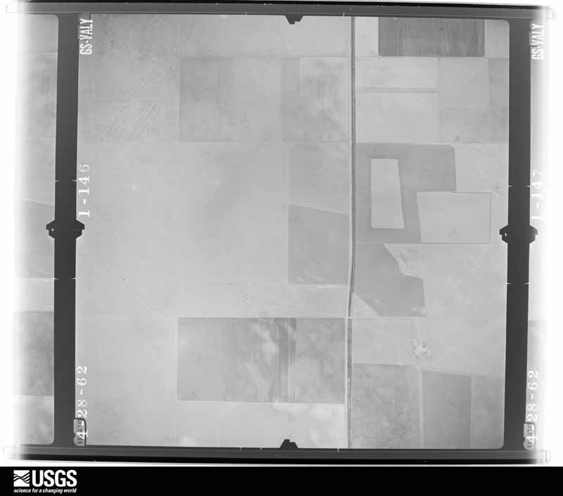
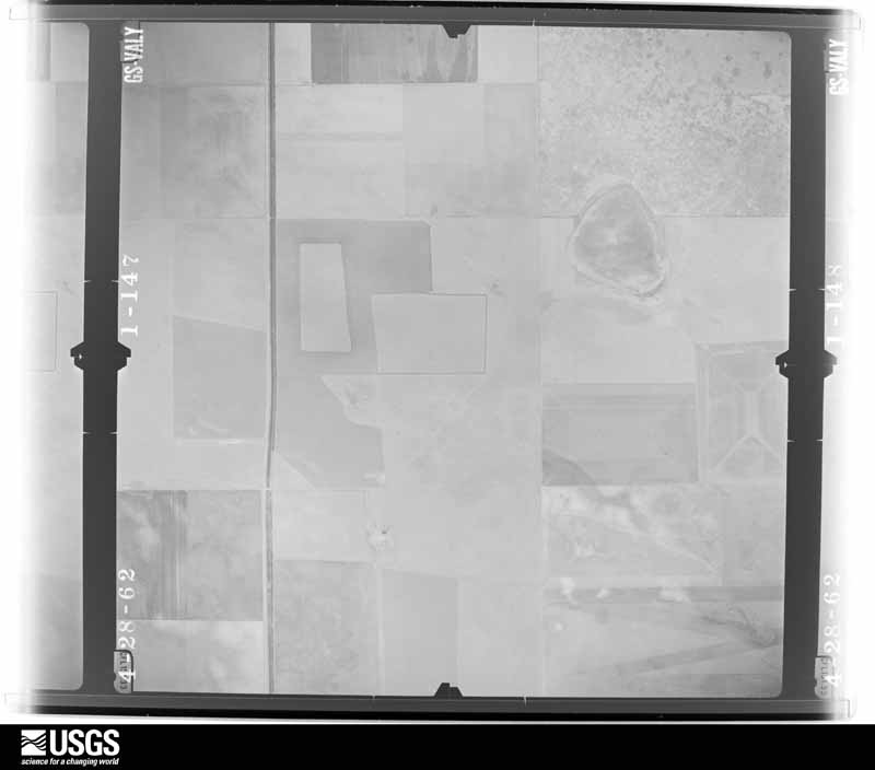
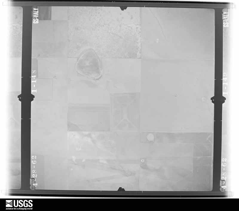
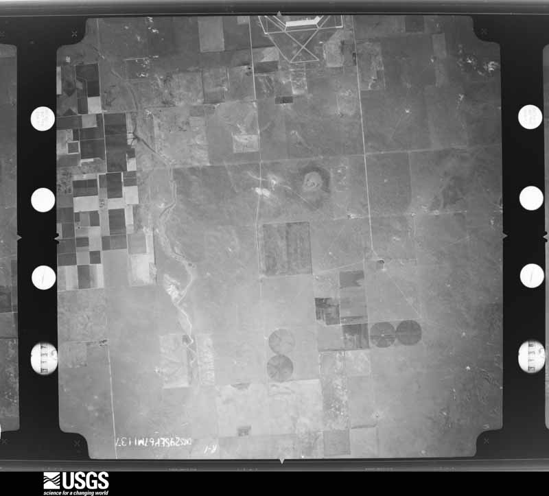
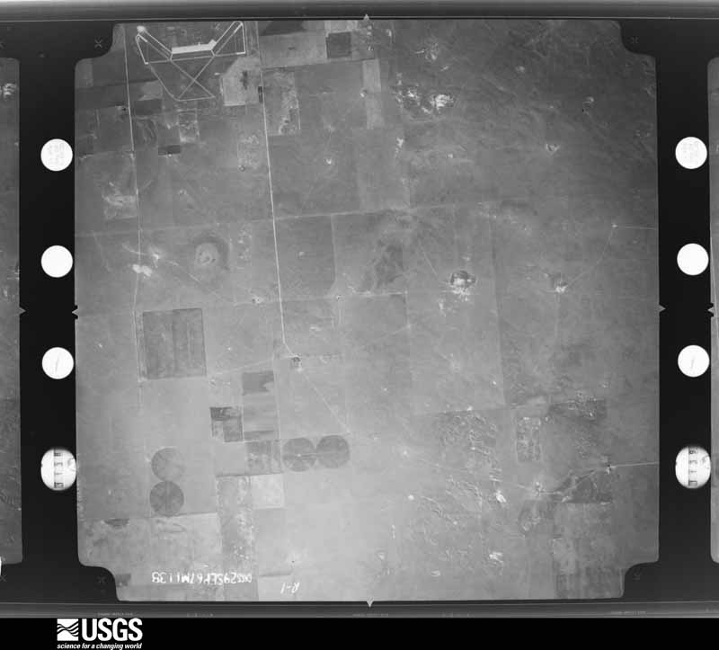
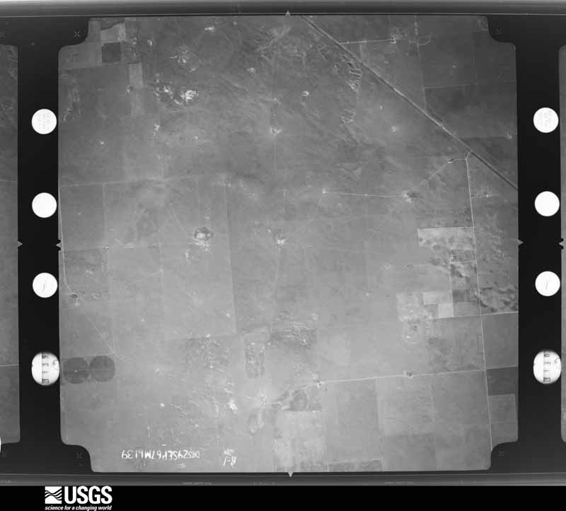
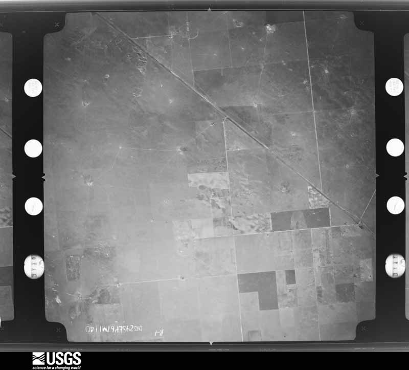
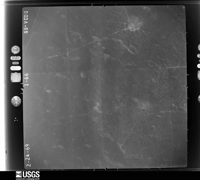
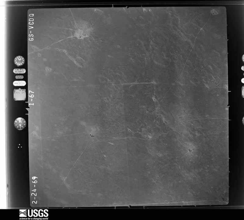
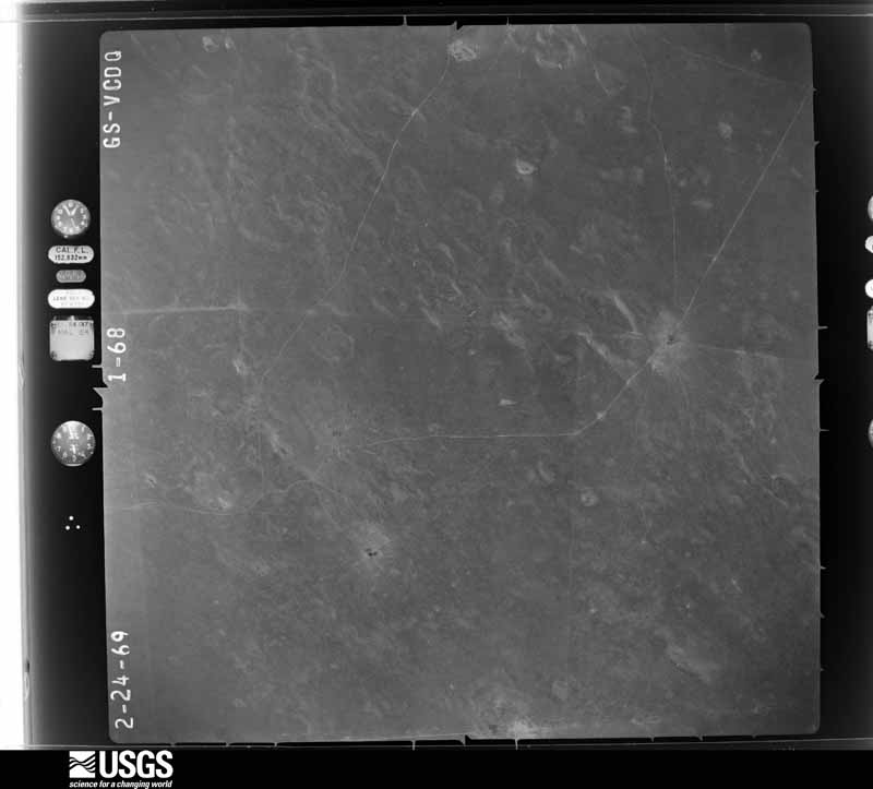
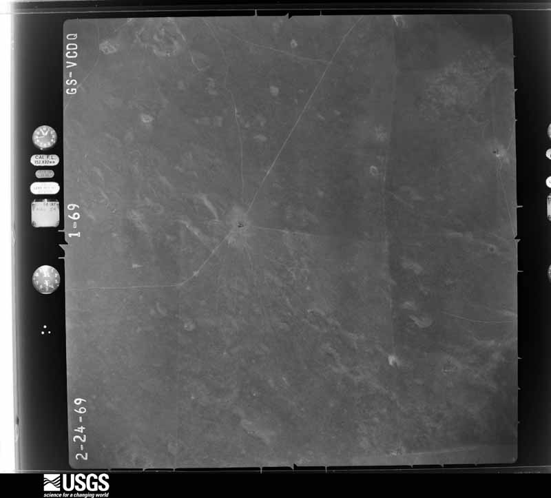
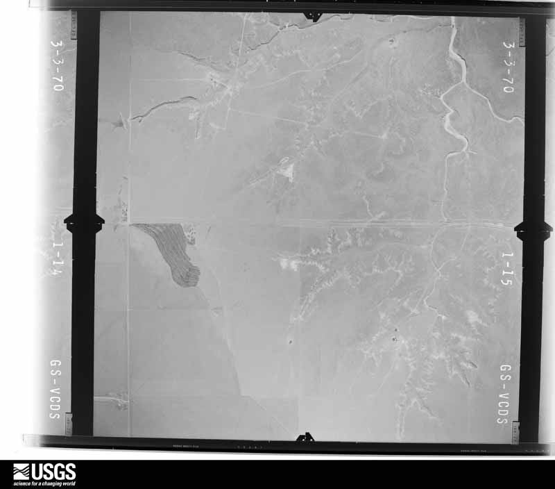
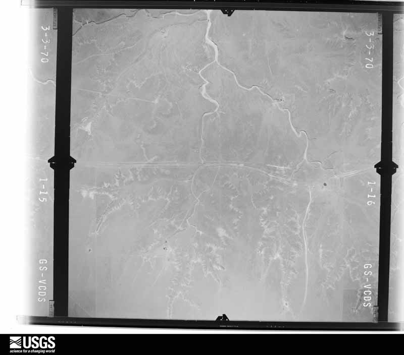
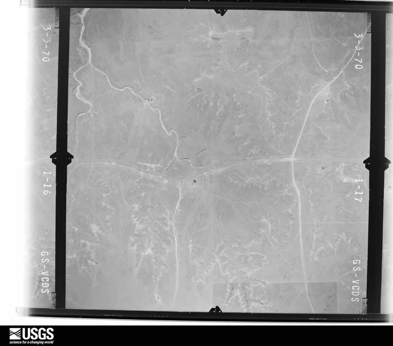
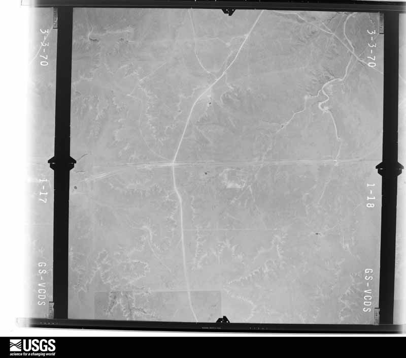
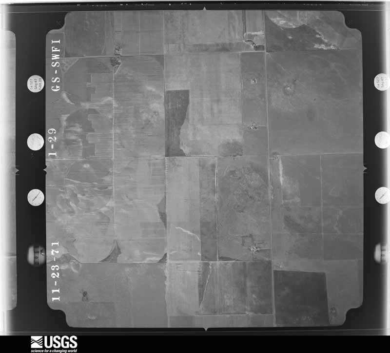
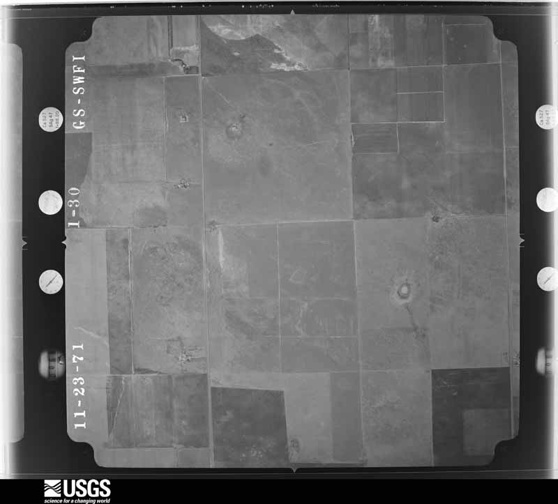
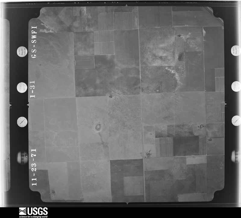
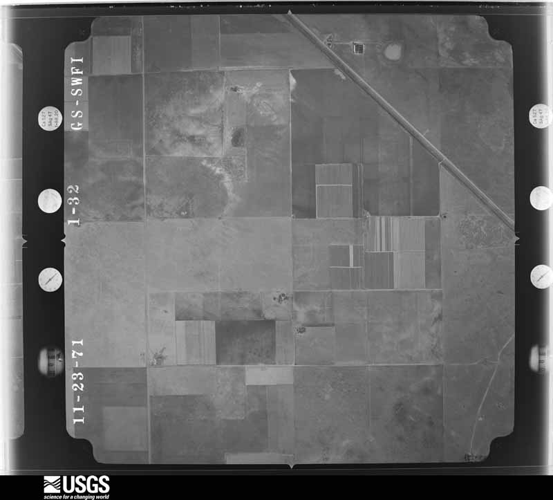
Flown by the U.S. Geological Survey between 1937 and 1989, the Aerial Photo Single Frames collection is the definitive mid-century view of the land: fields, roads and rivers as the camera saw them. The Survey holds 1,731 frames inside the rectangle that bounds this county; the 24 frames below were taken over the county itself, chosen across the decades of flights (at most four a year from that rectangle), so one flight cannot crowd out the rest. The full set is free to browse and download at EarthExplorer under the dataset Aerial Photo Single Frames.
The thermometers that kept this county's weather, and the gages that measured the flow of its streams, as the federal records hold them. The extremes below are measured values from those records, not estimates.
Who lived here in 1950, one enumeration district at a time, as the Census Bureau described each district. Each row opens its official National Archives result, with Population Schedules and ED Maps available there.
Every wildfire the federal occurrence database records inside this county: 368 of them, burning about 88,770 acres. 81 started naturally and 2 were recorded as arson. Each settlement page carries the fires within five miles of it.
| Reported cause | Fires |
|---|---|
| Missing data/not specified/undetermined | 98 |
| Natural | 81 |
| Equipment and vehicle use | 80 |
| Smoking | 48 |
| Power generation/transmission/distribution | 32 |
| Debris and open burning | 15 |
| Railroad operations and maintenance | 12 |
| Arson/incendiarism | 2 |
The five largest, by the area the report gives. None of them was recorded as arson.
| Date | Cause | Size | Reported by | Name on the report |
|---|---|---|---|---|
| 25 February 2000 | Missing data/not specified/undetermined | 20,000 acres | Texas A & M Forest Service | NARAVISTA |
| 1 November 1999 | Missing data/not specified/undetermined | 8,927 acres | Texas A & M Forest Service | FM 767 FIRE |
| 16 February 2019 | Natural | 7,527 acres | Texas A & M Forest Service | CHANNING |
| 11 January 2017 | Equipment and vehicle use | 6,000 acres | Texas A & M Forest Service | 354 |
| 15 June 2006 | Natural | 5,000 acres | Texas A & M Forest Service | VAN MEYER FIRE |
| 10 February 2006 | Smoking | 4,620 acres | Texas A & M Forest Service | MELLEMA |
| 19 March 2018 | Power generation/transmission/distribution | 4,500 acres | Texas A & M Forest Service | CHANNING |
| 10 February 2016 | Equipment and vehicle use | 3,987 acres | Texas A & M Forest Service | FM998 |
Every settlement page carries the fires within five miles of it - see the settlement index below.
The NOAA Storm Events Database holds 497 reports for this county, causing no deaths, 6 injuries and about $481,160 in recorded property damage. Each settlement page carries the reports that name it.
| Kind of event | Reports |
|---|---|
| Hail | 295 |
| Thunderstorm Wind | 154 |
| Tornado | 36 |
| Flash Flood | 8 |
| Funnel Cloud | 2 |
| Heavy Rain | 1 |
| Flood | 1 |
The most serious of them, by death, then injury, then recorded damage. The accounts are quoted exactly as the forecast office filed them.
| When | Event | Place named | Harm | What the report says |
|---|---|---|---|---|
| June 2008 | Thunderstorm Wind | Hartley | 4 hurt, $85,000 | Law enforcement officials reported that a mobile home was destroyed by the thunderstorm wind gusts and also that four people were injured. An irrigation sprinkler was twisted and two foot diameter trees were uprooted. |
| June 2008 | Thunderstorm Wind | Hartley | 2 hurt, $12,000 | The thunderstorm wind gusts blew over a semi-trailer on U.S. Highway 87 and two people were injured. |
| May 2004 | Thunderstorm Wind | Hartley | $180,000 | A rear flank downdraft or very strong downburst winds derailed fifteen train cars and approximately six power poles were snapped. The derailed trains cars blocked traffic on U.S. Highway 385. An official damage survey was made on this event. |
| May 2003 | Thunderstorm Wind | Dalhart | $60,000 | High winds destroyed a barn...blew down a sign...and knocked down tree branches near Farm to Market Road 281. |
| June 1994 | Thunderstorm Wind | Hartley | $50,000 | no account filed |
| August 2010 | Thunderstorm Wind | Channing | $15,000 | Local law enforcement officials reported numerous power lines down due to thunderstorm winds from Channing to five miles north of Channing. No injuries were reported. |
| April 2007 | Tornado (EF1) | Channing | $12,000 | This tornado formed four miles west of Boys Ranch in Oldham county and entered Hartley county two and a half miles south southeast of Channing at 1759 CST. The tornado continued for another thirteen and a half miles before dissipating on mile south of U.S. Highway 87 or seven miles east southeast of Hartley. In Hartley county...numerous power poles...fences...and a few highway signs sustained damage. While in Oldham county...the tornado was rated as EF0 but in Hartley county it was rated as EF1. There were no fatalities and no injuries reported. |
| May 2024 | Hail | Hartley | $10,000 | Hail up to golfball size fell near Hartley. |
| May 2024 | Hail | Channing | $10,000 | no account filed |
| August 2012 | Thunderstorm Wind | Channing | $6,000 | Thunderstorm wind gusts downed or snapped six power poles four miles north of Channing Texas in Hartley county. There were no reports of injuries or fatalities. |
| August 2009 | Thunderstorm Wind | Romero | $6,000 | A trained spotter reported that two trees were uprooted and that a full dumpster was turned over by the strong thunderstorm winds. The trained spotter also reported that a barn door was smashed in and that a one thousand gallon propane tank had been moved four feet by the thunderstorm wind gusts. |
| September 2003 | Thunderstorm Wind | Channing | $5,000 | An electrical transmission line was reported blown down by the high winds causing two hundred and seventy-two homes in the town of Channing to be without power. |
| June 2025 | Hail | Romero | $5,000 | no account filed |
| June 2025 | Hail | (Dht)Dalhart Muni Ar | $5,000 | no account filed |
| May 2024 | Hail | Middle Water | $3,000 | Hail of tennis ball size broke the windows out of a work truck. |
| May 2008 | Hail | Hartley | $3,000 | Golf ball size hail lasted nearly thirty minutes and broke the windows on a mobile home. |
| May 1975 | Tornado (F0) | not stated | $2,500 | no account filed |
| August 1968 | Tornado (F1) | not stated | $2,500 | no account filed |
| May 1965 | Tornado (F0) | not stated | $2,500 | no account filed |
| May 2004 | Tornado (F0) | Hartley | $2,000 | A tornado touched down over open country approximately one mile south-southwest of where the derailed trains cars occurred. The tornado path length and width were measured as a damage survey was made on the tornado. No injuries were reported from the tornado. The tornado did cause minor damage to barns and equipment at a nearby farm. |
| June 2025 | Hail | Channing | $2,000 | no account filed |
| July 2021 | Hail | (Dht)Dalhart Muni Ar | $1,000 | Hail up to 2 inches broke storm chaser's windshield. |
| August 2010 | Hail | Dalhart | $1,000 | The public reported hail damage to the windows of her home southwest of Dalhart near U.S. Highway 54. No injuries were reported. |
| August 2010 | Thunderstorm Wind | Dalhart | $600 | The public reported wind damage to her home southwest of Dalhart near U.S. Highway 54. The winds reportedly blew down a basketball hoop and a large trampoline in her yard had blown away. No injuries were reported. |
| July 1958 | Tornado | not stated | $30 | no account filed |
| May 1957 | Tornado (F1) | not stated | $30 | no account filed |
| June 2025 | Thunderstorm Wind | (Dht)Dalhart Muni Ar | - | The peak downburst wind gust of 60 mph occurred at 1821CDT with 2 additional gusts of 58 mph shortly after. |
| August 2025 | Thunderstorm Wind | (Dht)Dalhart Muni Ar | - | The first severe wind gust occurred at 2007CDT. The peak gust of 61mph occurred at 2012 CDT at the mesonet site located 12 miles southwest of Dalhart. |
| June 2025 | Thunderstorm Wind | (Dht)Dalhart Muni Ar | - | Multiple severe wind gusts were measured at the mesonet site located 12 miles southwest of Dalhart. These gusts ranged from 59mph to 63mph starting around 1525 CDT and lasted through 1535 CDT. |
| July 2025 | Thunderstorm Wind | (Dht)Dalhart Muni Ar | - | Severe wind gusts occurred at the Dalhart 12SW mesonet site from a likely anvil gust from a nearby thunderstorm. The mesonet site initially gusted to 61mph at 1949CDT, had its peak gust of 86mph at 1950CDT, and continued to gust to 79mph and 74mph through 1952CDT. |
| September 2024 | Thunderstorm Wind | (Dht)Dalhart Muni Ar | - | A severe wind gust occurred from a possible dry microburst. There was little evidence of a strong storm on radar but there was a cloud deck around 9,000 feet. No known damage occurred from this severe wind gust. |
| August 2024 | Thunderstorm Wind | (Dht)Dalhart Muni Ar | - | This wind gust was in association with the outflow boundary moving through the area. |
| July 2023 | Thunderstorm Wind | (Dht)Dalhart Muni Ar | - | From 1535CDT through 1550CDT the ASOS located in Dalhart gusted between 58 and 64 mph with a line of thunderstorms moving through. |
| August 2021 | Hail | Dalhart | - | Wind driven hail chipped the windshield of the vehicle the storm chaser was driving while heading west on FM 281. |
| June 2021 | Thunderstorm Wind | (Dht)Dalhart Muni Ar | - | At least 4 different wind gusts exceeding 60 mph, the highest being 63 mph, were registered in the span of 22 minutes. |
| May 2020 | Thunderstorm Wind | (Dht)Dalhart Muni Ar | - | This gust was measured at Dalhart Municipal Airport, located 3 miles northwest of Dalhart. |
| April 2020 | Hail | Channing | - | A Sheriff Deputy reported quarter size hail in Channing. |
| May 2020 | Hail | (Dht)Dalhart Muni Ar | - | Quarter sized hail was observed 4 miles southwest of Dalhart. |
| June 2020 | Hail | Channing | - | Golf ball size hail fell 4 miles south-southeast of Channing. |
| June 2019 | Funnel Cloud | (Dht)Dalhart Muni Ar | - | Storm chaser video confirmed a funnel sighting. |
| June 2019 | Hail | Romero | - | Dime to quarter size hail occurred with severe thunderstorms in the area. |
| June 2019 | Flood | Hartley | - | Minor flooding was reported along U.S. highway 87 eight miles east of Hartley and eastward to the Moore county line. |
| March 2019 | Hail | Middle Water | - | Trained spotter reported quarter size hail with thunderstorm. |
| March 2019 | Hail | Hartley | - | Golf ball size hail reported by a trained spotter. |
| March 2019 | Hail | Hartley | - | Storm chaser reporting quarter size hail with accumulation on area roadways. |
| May 2019 | Tornado (EF0) | Hartley | - | A tornado along the leading edge of a squall line was reported by multiple chasers and an NWS employee in the area. The tornado remained in open grassland country and no damage occurred. |
| May 2019 | Tornado (EF0) | Hartley | - | A tornado along the leading edge of a squall line was captured on video by multiple storm chasers in the area. It was weak and in open country and did not cause any reported damage including to power lines where it crossed Highway 287. |
| June 2018 | Thunderstorm Wind | Hartley | - | Late report of thunderstorm outflow wind gust estimated at 60 mph. |
| June 2018 | Thunderstorm Wind | Hartley | - | Tractor trailers blown off the road 5 miles north of Hartley on US-87. |
| March 2017 | Hail | (Dht)Dalhart Muni Ar | - | Viewers reporting quarter size hail 2 miles south of Dalhart. |
| April 2017 | Hail | Dalhart | - | Sheriffs office in Dalhart reported hail up to the size of quarters with the first wave of the storm. |
| June 2017 | Hail | (Dht)Dalhart Muni Ar | - | Social media picture confirmed, golfball sized hail. |
| June 2017 | Hail | (Dht)Dalhart Muni Ar | - | Live feed from storm chasers showed baseball sized hail. |
| June 2017 | Hail | (Dht)Dalhart Muni Ar | - | Hail ranging from golfball to baseball size reported by the public southwest of Dalhart. Property damage from the hail and wind was reported as well. |
| June 2017 | Thunderstorm Wind | Middle Water | - | From the KVII school net site at Olson Ranch. |
| June 2017 | Hail | Middle Water | - | Storm spotter found hail on us HWY 54 about 20 miles SW of Dalhart. |
| August 2017 | Thunderstorm Wind | Dalhart | - | Tree limbs down reported in Dalhart. |
| August 2017 | Thunderstorm Wind | (Dht)Dalhart Muni Ar | - | Extensive damage to hangars and airplanes were flipped over. |
| August 2017 | Thunderstorm Wind | Hartley | - | Wind damage at a gas station in the town of Hartley. |
| May 2016 | Hail | Hartley | - | Ping pong ball size hail fell 5 miles south of Hartley. |
The Survey's mineral resources record lists 4 workings inside this county. None of them still produces: all are closed or unrecorded. Each settlement page carries the workings within five miles of it.
| Commodity | Workings |
|---|---|
| Sand and Gravel, Construction | 4 |
The least common of them first, because a county's hundredth gravel pit says nothing its first ten did not.
| Where | Site | Commodity | Status | Recorded |
|---|---|---|---|---|
| State Hwy Pit No. 58-66-S | Sand and Gravel, Construction | Unknown | ||
| State Hwy Pit No. 60-34-S | Sand and Gravel, Construction | Unknown | ||
| State Hwy Pit No. 60-67-S | Sand and Gravel, Construction | Unknown | ||
| State Hwy Pit No. 69-13-S | Sand and Gravel, Construction | Unknown |
Named settlements recorded in the Geographic Names Information System, each with the topographic sheets covering it. Villages, hamlets and abandoned places alike. Each is shown with the nearest named watercourse or landform and the survey quadrangle it falls on.
Dalhart census division · 79022 · Near Syndicate Hills · Syndicate Hills quadrangle
6 sheets, 1954 to 1985