 Block
BlockHemphill County, Texas
17 topographic sheets cover 7 settlements here.
Research this county
What the record shows
- 37 topographic sheet readings cover the county's settlements.
- The Geographic Names Information System records 7 populated places in this county; 7 are covered by at least one topographic sheet.
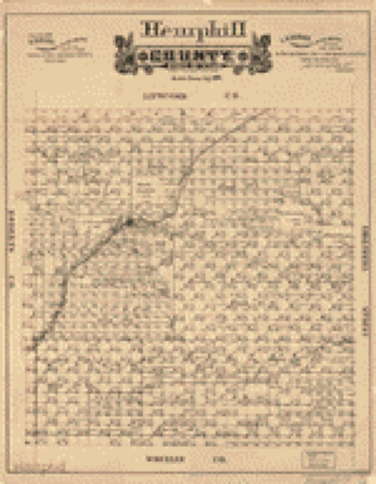
Bird's-eye views and land ownership maps
1Drawn when these were printed as single large sheets: the town seen from the air, and the county divided into its farms with every owner named. Each opens the original at the Library of Congress.
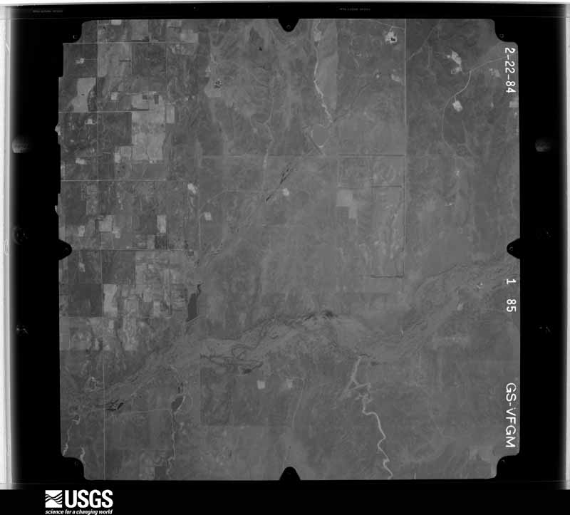
The county from the air
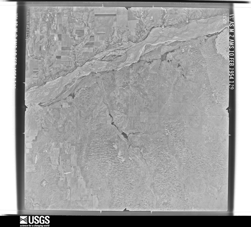
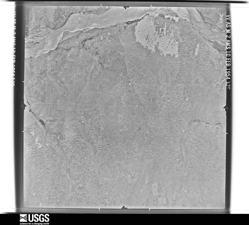
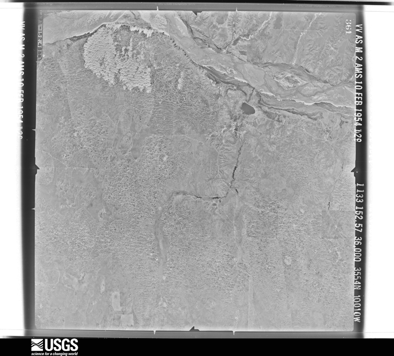
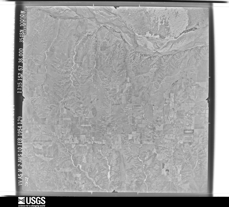
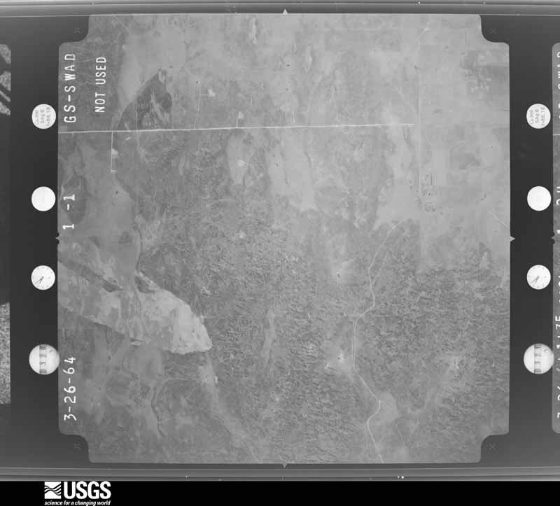
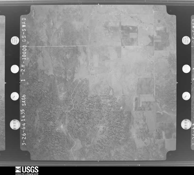
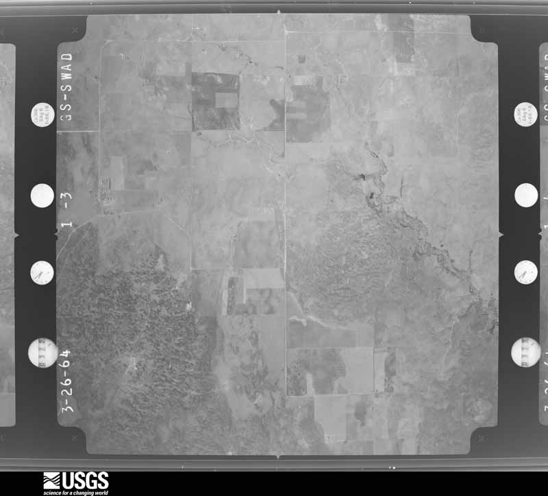
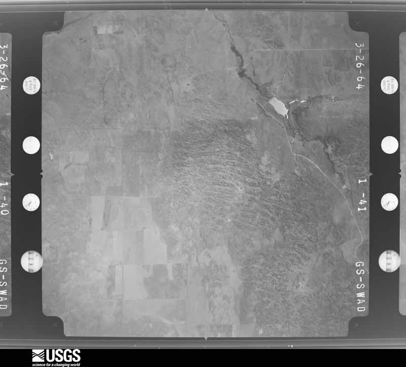
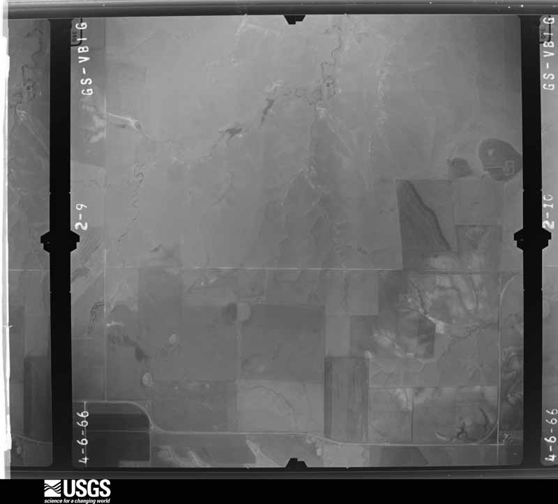
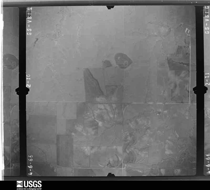
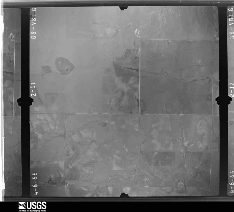
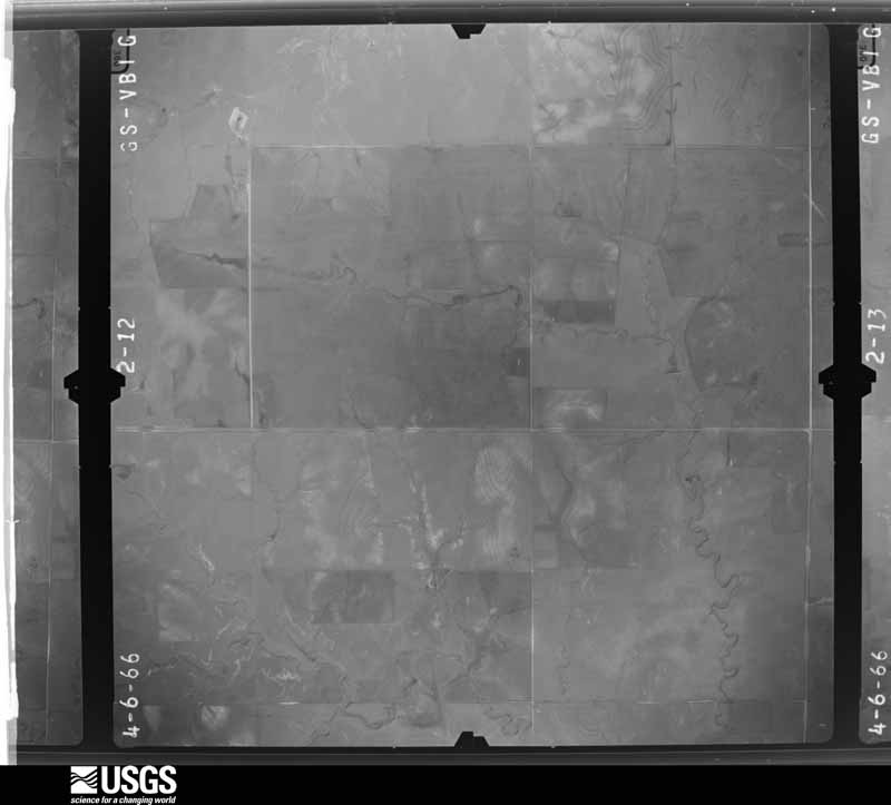
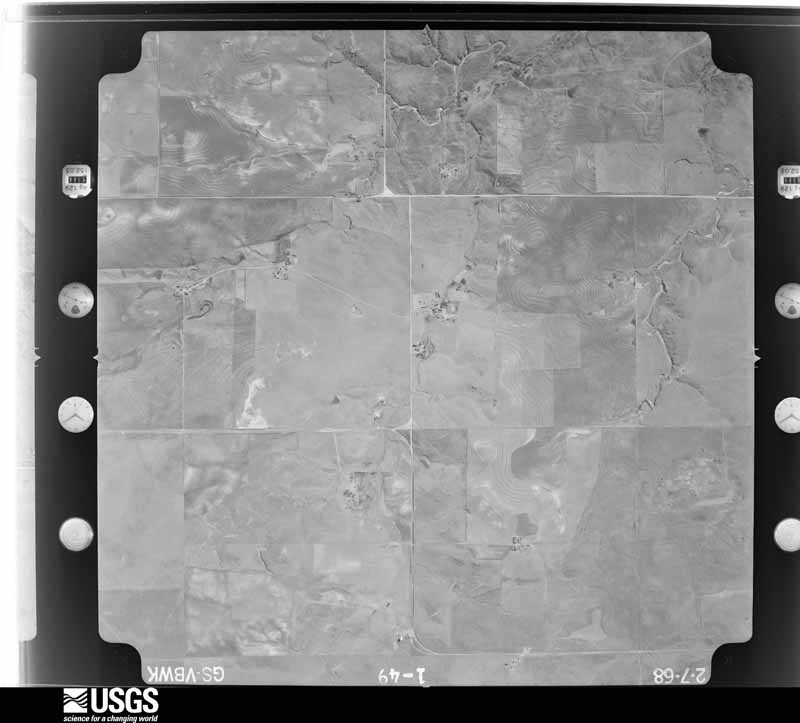
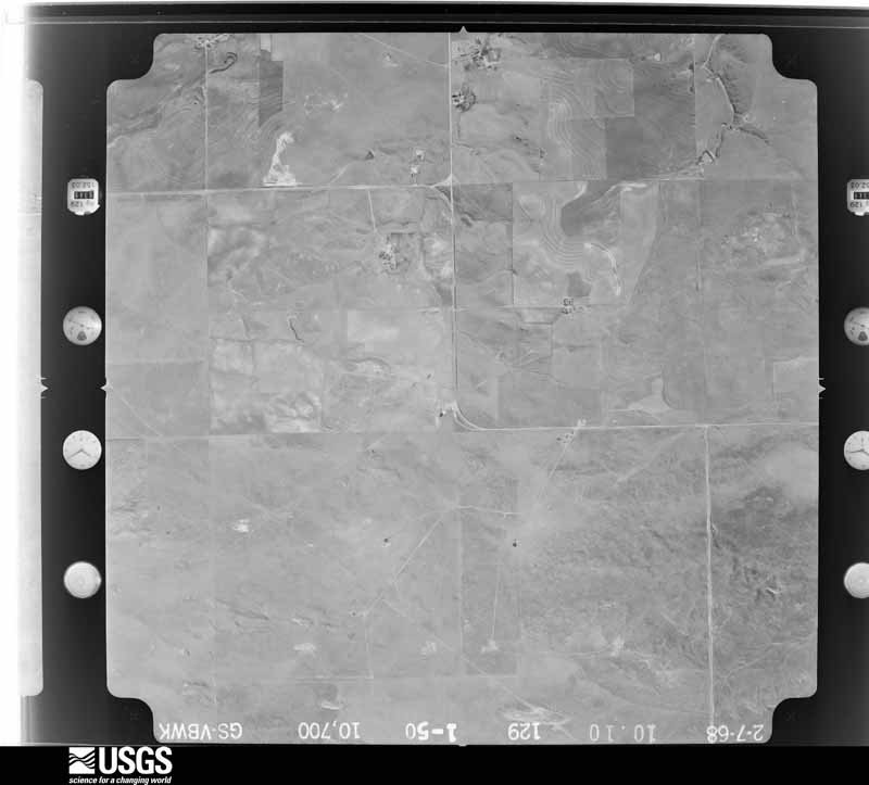
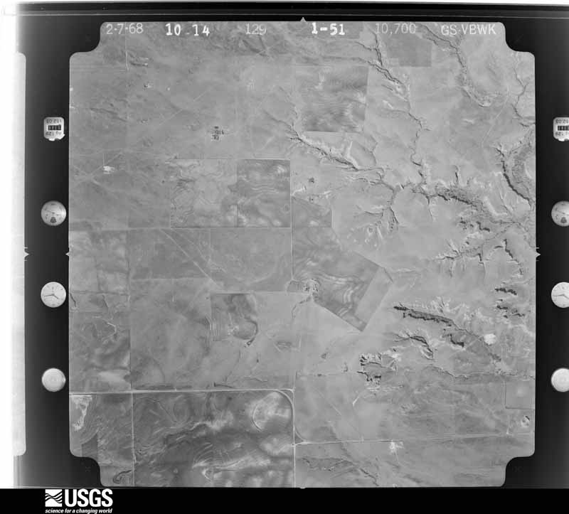
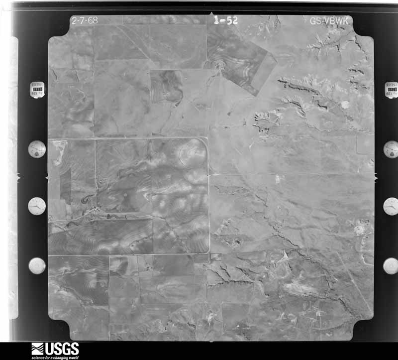
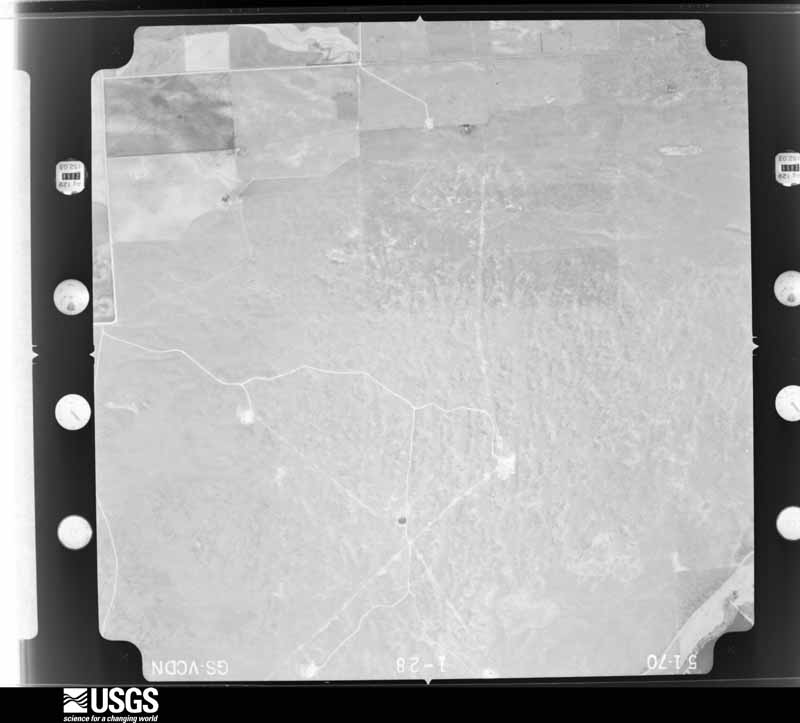
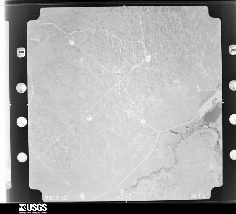
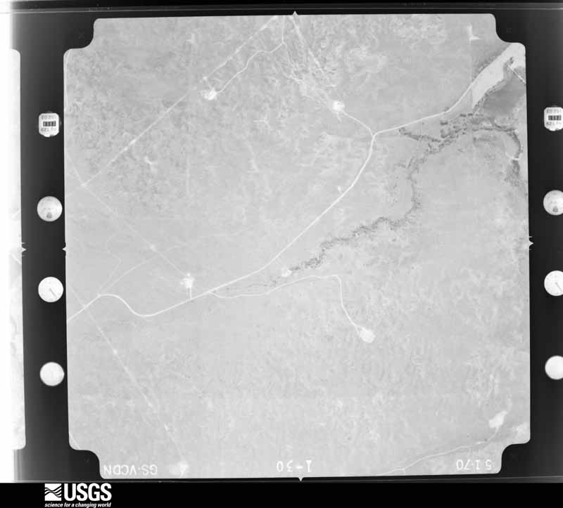
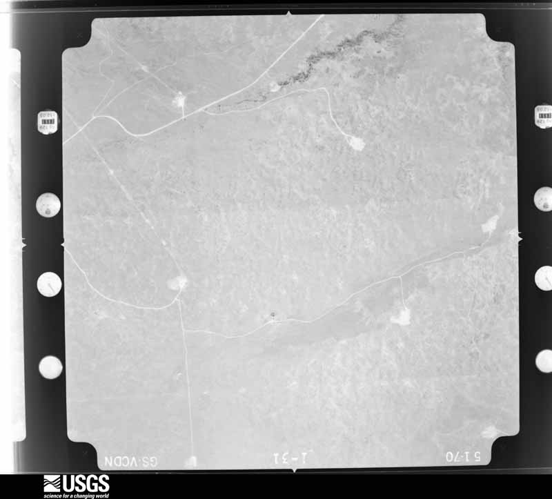
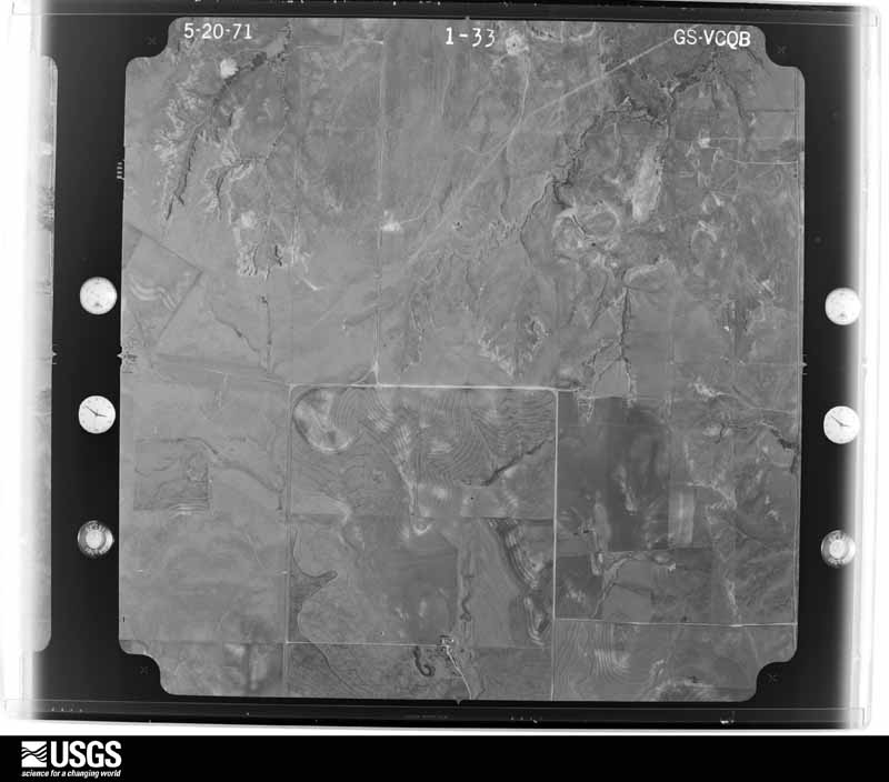
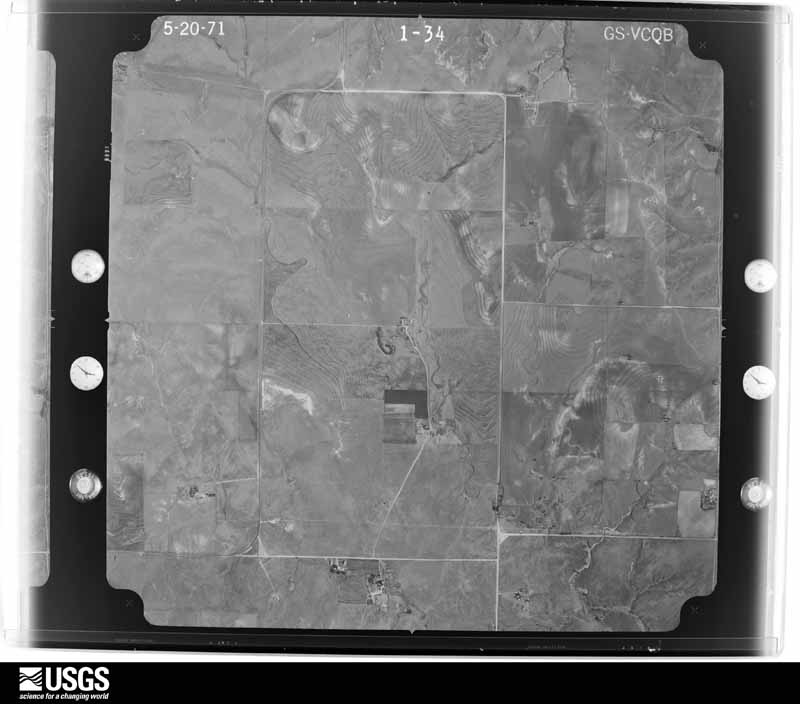
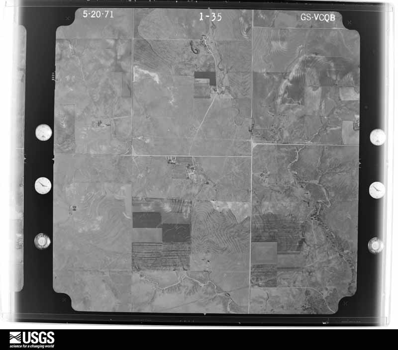
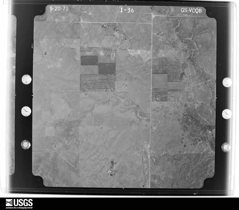
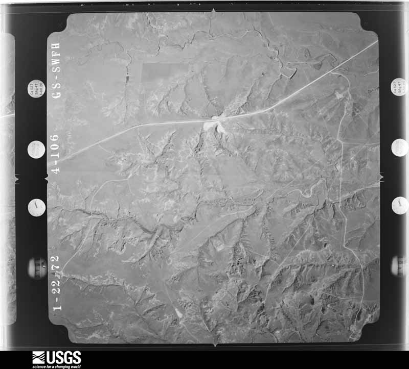
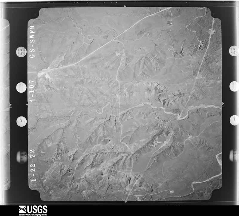
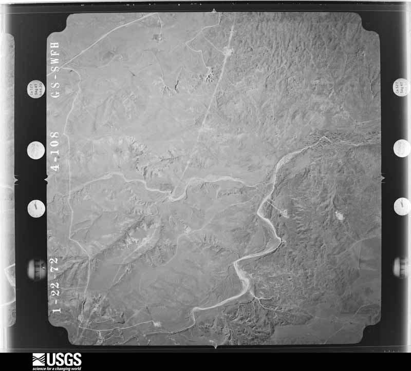
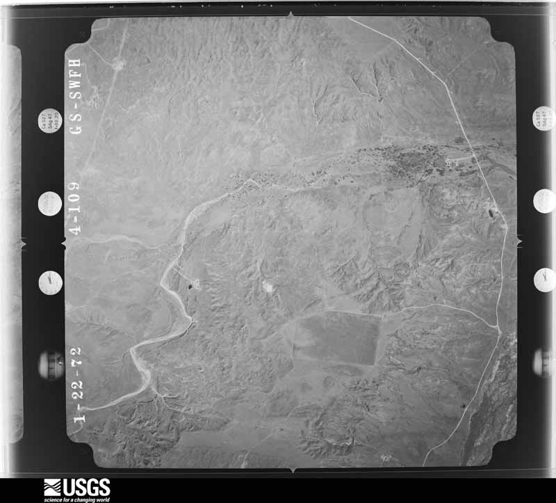
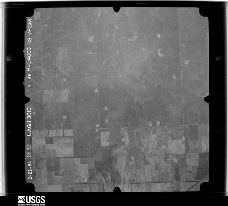
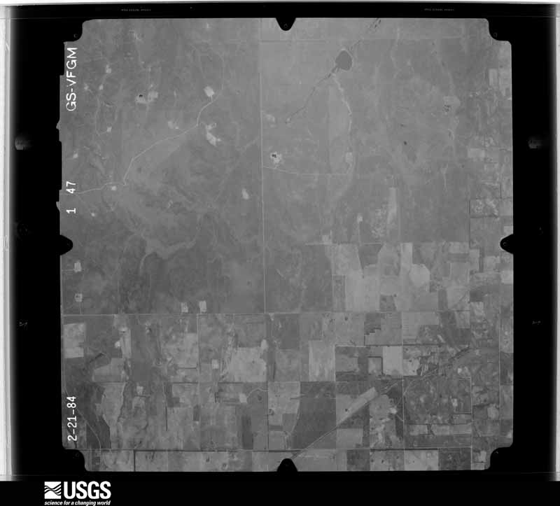
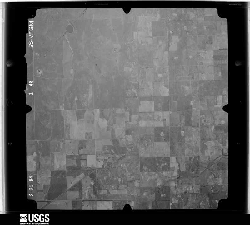
32 shownFlown by the U.S. Geological Survey between 1937 and 1989, the Aerial Photo Single Frames collection is the definitive mid-century view of the land: fields, roads and rivers as the camera saw them. The Survey holds 1,147 frames inside the rectangle that bounds this county; the 32 frames below were taken over the county itself, chosen across the decades of flights (at most four a year from that rectangle), so one flight cannot crowd out the rest. The full set is free to browse and download at EarthExplorer under the dataset Aerial Photo Single Frames.
Weather records
11 stations, 1 gageThe thermometers that kept this county's weather, and the gages that measured the flow of its streams, as the federal records hold them. The extremes below are measured values from those records, not estimates.
- CANADIAN 1906 to 2001, hottest 44.4 C, coldest -25.6 C
- CANADIAN #2 1946 to 1949
- GAGEBY 3 WNW 1948 to 1951
- CANADIAN 20NE 2003 to 2007
- CANADIAN 6NW 2003 to 2026
- CANADIAN 22SE 2003 to 2015
- CANADIAN 15SW 2003 to 2008
- GLAZIER 2007 to 2026
- MOBEETIE 7 N 2009 to 2026
- BRISCOE 8.1 NNE 2014 to 2026
- ALLISON 5 ENE 2022 to 2026
- Canadian Rv nr Canadian, TX 1938 to 2026
The 1950 census, district by district
10 districtsWho lived here in 1950, one enumeration district at a time, as the Census Bureau described each district. Each row opens its official National Archives result, with Population Schedules and ED Maps available there.
- 106-1Justice Precinct 1: Canadian town: Canadian town - That part Bounded by Town limits; 4th, Purcell Ave., 3rd; Giruad Ave., Mobeetie, Town limits; Town limits
- 106-2Canadian town - That part Bounded by Town limits; Town limits; Town limits; Purcell, Cheyenne Ave., Purcell, Purcell Ave., 4th
- 106-3Canadian town - That part Bounded by Purcell Ave.; Purcell, Cheyenne Ave., Purcell; Town limits; Mobeetie, Giruad Ave., 3rd
- 106-4Justice Precinct 1 - That part outside Canadian town
- 106-5Justice Precinct 2
- 106-6AN/A
- 106-6BN/A
- 106-6CN/A
- 106-6DN/A
- 106-7Justice Precinct 4
Wildfire, 1997 to 2020
338 firesEvery wildfire the federal occurrence database records inside this county: 338 of them, burning about 59,530 acres. 70 started naturally and 1 was recorded as arson. Each settlement page carries the fires within five miles of it.
| Reported cause | Fires |
|---|---|
| Equipment and vehicle use | 142 |
| Natural | 70 |
| Missing data/not specified/undetermined | 43 |
| Power generation/transmission/distribution | 33 |
| Debris and open burning | 32 |
| Railroad operations and maintenance | 10 |
| Recreation and ceremony | 3 |
| Smoking | 3 |
| Misuse of fire by a minor | 1 |
| Arson/incendiarism | 1 |
The five largest, by the area the report gives. None of them was recorded as arson.
| Date | Cause | Size | Reported by | Name on the report |
|---|---|---|---|---|
| 11 April 2006 | Equipment and vehicle use | 18,000 acres | Texas A & M Forest Service | CANADIAN NORTH |
| 26 March 1997 | Missing data/not specified/undetermined | 9,572 acres | Texas A & M Forest Service | CANADIAN FIRE |
| 19 March 2008 | Debris and open burning | 5,000 acres | Lake Meredith National Recreation Area | GENE HOWE |
| 11 April 2006 | Missing data/not specified/undetermined | 4,000 acres | Texas A & M Forest Service | MOBEETIE NORTH |
| 5 November 2015 | Equipment and vehicle use | 3,636 acres | Texas A & M Forest Service | GEM CITY 1 |
| 2 May 2006 | Natural | 1,920 acres | Texas A & M Forest Service | not named |
| 24 July 2017 | Natural | 1,200 acres | Texas A & M Forest Service | 281 & CR 8 |
| 19 August 2019 | Natural | 1,197 acres | Texas A & M Forest Service | SOUTH GLAZIER WEBB FIRE |
Every settlement page carries the fires within five miles of it - see the settlement index below.
Storms, 1954 to 2025
60 of 406 shownThe NOAA Storm Events Database holds 406 reports for this county, causing 3 deaths, 12 injuries and about $4,704,810 in recorded property damage. Each settlement page carries the reports that name it.
| Kind of event | Reports |
|---|---|
| Hail | 235 |
| Thunderstorm Wind | 107 |
| Tornado | 53 |
| Flash Flood | 7 |
| Flood | 3 |
| Heavy Rain | 1 |
The most serious of them, by death, then injury, then recorded damage. The accounts are quoted exactly as the forecast office filed them.
| When | Event | Place named | Harm | What the report says |
|---|---|---|---|---|
| June 2014 | Flood | Canadian | 2 killed | Reports state two female horseback riders (one 24 years old the other 6 years old) traveling along the banks went missing prior to noon on Monday June 23rd. By 7 PM that day, search and rescue crews located the still saddled horse the females were last seen riding downstream of the US 60 bridge spanning the Canadian River. Roughly 15 minutes later the remains of the 6 year old were recovered. The remains of the 24 year old female were recovered 5 days later 2 miles downstream from the US 60 bridge. Preliminary autopsy results showed the cause of death to be drowning. |
| March 2007 | Tornado (EF3) | Canadian | 1 killed, 1 hurt, $3,000,000 | The tornado developed in southwestern Hemphill County approximately sixteen miles south southwest of Canadian. The tornado moved north northwest at twenty miles an hour and encountered an area of active oil drilling rigs. The tornado hit two drilling rigs. An employee of the first drilling rig that was hit was residing in a single-wide mobile home that was anchored into the ground. The mobile home was destroyed and displaced one hundred yards from its original location and the employee was thrown approximately fifty yards. A semi trailer used for storage was blown over. A structure used to lift the oil-well casing onto the oil derrick was also blown down and severely damaged. The tornado rolled a railroad boxcar one hundred and fifty yards. A series of power poles along County Road W covering a distance of zero point six miles was also blown down.|A second oil drilling rig and production facility were hit by the tornado where another unoccupied and anchored single-wide mobile home was rolled over. Nearby...two goose neck fifth-wheel camper trailers were parked...both unanchored with one occupied. This person was critically injured and later died from his injuries. The camper trailer that was occupied rolled forty-five yards to the northeast while a second unoccupied trailer was blown thirty yards before coming to rest on an oilfield production unit.|By 2041 CST...the tornado was crossing U.S. Highway 60...resulting in severe tree damage. Texas Department of Transportation officials...using light tree damage as an indicator...measured a damage width of zero point eight miles along U.S. Highway 60. At the center of this swath were numerous hardwood trees with trunks that had been broken off halfway up the tree. On the periphery of this area was a home located thirteen miles south southwest of Canadian that suffered only minor damage due to trees falling on the home. Many large trees were snapped twenty feet in the air. A second well built home suffered severe damage to the roof structure. The majority of the steel roofing structure was completely removed and six feet of brick chimney toppled onto the house. Several cedar beams were removed from the roof structure as well as several rafters despite being tied down by hurricane clips. Additionally...a steel feed bunk containing twenty six thousand pounds of feed was turned over on its side.|At 2045 CST...a Burlington Northern Santa Fe train was derailed with over fifty cars blown over. The tornado dissipated around 2055 CST. |
| August 2006 | Thunderstorm Wind | Canadian | 4 hurt, $32,000 | no account filed |
| May 1998 | Thunderstorm Wind | Canadian | 3 hurt, $25,000 | An unofficial report from the public of 91 knot winds in the Gem community of Hemphill county about 15 miles southeast of Canadian as reported in the Canadian newspaper. There was tree damage reported in the county. |
| May 2015 | Tornado (EF2) | Canadian Hemphill Ar | 3 hurt | An EF-2 tornado touched down as a cone at 4:58 PM CDT and quickly became a wedge tornado with a path width of 0.7 miles. Approximately forty individuals took cover in a storm shelter at a drilling rig. Three people outside the shelter were injured and two of them were airlifted with critical injuries. The edge of the tornadic rotation lifted two temporary mobile homes and lofted them 50 to 70 yards completely destroying the structures. Two pickup trucks were also thrown roughly 50 yards. Some debarking of trees was noted near the destroyed mobile homes. Several large temporary structures were also moved from their original locations. This tornado was well witnessed and video documented. Personnel at the drilling rig indicate the large tornado was nearly stationary, moving slightly east and back west before moving back east into their structure. |
| June 1997 | Flash Flood | Canadian | 1 hurt | Van and truck washed off road after hitting 3 feet of water at junction of Highways 83 and 60. One female injured. |
| August 1993 | Thunderstorm Wind | Canadian | $500,000 | no account filed |
| June 2003 | Thunderstorm Wind | Canadian | $250,000 | Tractor trailer rig was overturned and totaled by the strong winds. |
| May 1986 | Tornado (F3) | not stated | $250,000 | no account filed |
| June 2003 | Flash Flood | Canadian | $125,000 | Numerous reports of street flooding in the city of Canadian along with three homes flooded. No injuries were reported from the flash flooding. |
| June 2008 | Thunderstorm Wind | Canadian | $120,000 | Law enforcement officials reported that two barns were destroyed by the thunderstorm wind gusts. |
| June 2023 | Tornado (EF1) | Gageby | $85,000 | This tornado developed near County Road 17 and produced some minor tree damage, with limbs and branches being blown down. The tornado then continued across open field before impacting a residence just off Highway 277, where it brought down trees and some power lines along that road. As it crossed Highway 277, it brought down about 7 power poles, and caused more impressive tree damage, snapping branches and some trees while uprooting other hardwood trees. It resulted in some minor roof damage to a shed and damaged another shed at a natural gas facility. The tornado then crossed County Road 22, just to the south of Highway 277. Here, it snapped several hardwood branches and uprooted another tree. It also lifted the lids off of two silos, one of which collapsed in on the side. The debris of the lids ended up damaging a nearby barn. The tornado then crossed open fields and Highway 277 once more before causing some minor tree branch damage along Highway 2124. The tornado likely lifted after this point. |
| May 2002 | Thunderstorm Wind | Canadian | $45,000 | Barns were destroyed by the high winds and a cattle trailer was blown over. Also...part of an abandoned home had been destroyed along with some metal pipes and horse trough-type things had been twisted and scattered. One had been blown up U.S. Highway 83 about two hundred yards and to the west of the highway. A couple of fairly large trees on the west side of the highway were blown down. |
| September 2006 | Thunderstorm Wind | Glazier | $38,000 | Hurricane-like conditions reported about one mile southeast of Dreyfoos which lasted for nearly thirty minutes. Some of the damage reported included a door blown off a hayshed...a feed bunker damaged...and several windows blown out of a home. |
| May 2025 | Tornado (EF1) | Glazier | $35,000 | The tornado started near County Road 30 on the very eastern edge of Hemphill County and quickly intensified as it crossed onto property where it produced damage to several buildings and a home. The home sustained some roofing damage and the back corner of the house had a partial uplift of the roof deck. Additional storage buildings were damaged including shed doors blown off and roofs and siding damaged. Several trees were uprooted in the yard. A cattle wind break was partially torn from the ground. The tornado then crossed into Ellis County Oklahoma (NWS Norman forecast area), where it snapped a few tree limbs on E690. The tornado then crossed an open field and the last noted damage was along NS1690 where some large branches were snapped. Based on storm spotter footage and survey, it appears the tornado lifted shortly thereafter. The tornado was rated an EF1 based on the house damage and the tree damage. The entire track length was around 1.6 miles. The maximum estimated winds were 95mph. |
| May 1983 | Tornado (F1) | not stated | $25,000 | no account filed |
| May 1981 | Tornado (F1) | not stated | $25,000 | no account filed |
| June 1955 | Tornado (F1) | not stated | $25,000 | no account filed |
| August 2008 | Thunderstorm Wind | Canadian | $22,000 | A National Weather Service Cooperative Observer reported that shingles were torn from roofs and also that tree limbs of three to four inches in diameter were blown down. |
| August 2025 | Thunderstorm Wind | Gageby | $15,000 | The walls of a farm storage building were blown down and the metal roofing blown off. Nearby tree branches were broken off. About three power poles were broken as well. |
| June 2002 | Thunderstorm Wind | Canadian | $15,000 | Numerous trees and powerlines were reported down. |
| May 2001 | Thunderstorm Wind | Canadian | $15,000 | Trees and power poles were reported blown down. |
| May 2024 | Hail | Glazier | $10,000 | Hail of 3 inches in diameter was measured with a ruler and verified via a photo. |
| November 2024 | Flood | Canadian | $8,000 | Marshall Drive (County Road P) was closed due to part of the road being washed out one mile east of where the pavement section of the road ends. Road P was washed out at Elk Creek. The flood was likely 200 feet wide where the road crosses Elk Creek. |
| August 2008 | Thunderstorm Wind | Gageby | $8,000 | A trained spotter reported small tree limbs blown down and that shingles were blown off a roof. |
| May 2002 | Thunderstorm Wind | Canadian | $8,000 | Numerous trees and powerlines were reported down. |
| May 2002 | Thunderstorm Wind | Canadian | $8,000 | Numerous trees and powerlines were reported down. |
| March 2021 | Flash Flood | Canadian | $5,000 | Twitter picture of a car halfway under water. |
| May 2025 | Hail | Glazier | $3,000 | Baseball size hail occurred around 12 miles south of Higgins. |
| April 1990 | Tornado (F1) | not stated | $2,500 | no account filed |
| April 2025 | Hail | Canadian | $2,000 | Hail fell across Canadian with penny size hail in town and ping pong ball size hail about two miles southeast of Canadian. |
| September 2008 | Hail | Gageby | $2,000 | The large hail broke the windows out of a car and two pickup trucks. The report was actually one half mile northeast of the earlier report made three miles east of Allison. No injuries were reported. |
| April 1993 | Hail | Gem | $500 | no account filed |
| May 1990 | Tornado (F0) | not stated | $250 | no account filed |
| May 1982 | Tornado (F1) | not stated | $250 | no account filed |
| June 1968 | Tornado (F1) | not stated | $250 | no account filed |
| May 1990 | Tornado (F1) | not stated | $30 | no account filed |
| May 1979 | Tornado (F0) | not stated | $30 | no account filed |
| June 2025 | Thunderstorm Wind | Gageby | - | Miami mesonet began having severe level wind gusts at 119 AM CDT with a peak gust of 90 mph. Severe gusts ended at 130 AM. |
| March 2021 | Thunderstorm Wind | Canadian Hemphill Ar | - | Emergency officials reported numerous power poles down and trees uprooted. |
| March 2021 | Thunderstorm Wind | Glazier | - | Law enforcement reported 18 train cars blown over. |
| March 2021 | Thunderstorm Wind | Canadian | - | Downed power lines have forced the closure | of US HWY 83 at the intersection of | US HWY 60 and US HWY 83. |
| June 2020 | Hail | Canadian Hemphill Ar | - | Quarter size hail fell 2 miles northeast of Lora. |
| May 2020 | Hail | Canadian | - | Nickel to quarter size hail fell in Canadian. This public report was relayed by broadcast media. The time is estimated from radar. |
| May 2020 | Hail | Canadian | - | Nickle size hail was reported 1 mile south-southeast of Canadian. |
| April 2020 | Hail | Canadian Hemphill Ar | - | Copious amounts of half dollar size hail were reported by a storm chaser on U.S. Highway 60 south of Canadian. |
| April 2020 | Hail | Canadian | - | A trained spotter and storm chaser reported one inch hail just south of Canadian. |
| April 2020 | Hail | Glazier | - | Accumulating hail completely covered State Highway 33, to a depth of 3 to 4 inches, creating a swath which extended east to the Oklahoma state line. Most hail stones were one-half to one inch in diameter with occasional stones of 2 inches noted. |
| April 2020 | Hail | Canadian | - | A trained spotter 7 miles south-southwest of Lake Marvin reported quarter size hail. |
| April 2020 | Hail | Gageby | - | A storm chaser's reported golf ball size hail 10 miles south of Lake Marvin. |
| April 2020 | Hail | Canadian | - | Quarter sized hail was observed 10 miles east-northeast of Lora. |
| June 2020 | Hail | Canadian | - | Quarter size hail lasted a few minutes around 2 miles south-southwest of Canadian. |
| November 2020 | Hail | Canadian | - | Accumulating hail up to an inch or two deep was reported, with the largest size being one inch in diameter. |
| November 2020 | Hail | Glazier | - | Light accumulation of hail reported to cover the ground. |
| June 2019 | Hail | Glazier | - | Quarter size hail lasted about 3 minutes just northwest of Glazier on Highway 60. Wind was estimated 40 to 50 mph with a few peak gusts around 60 mph. |
| July 2019 | Hail | Canadian | - | Social media report of 1 hail in Canadian. Report relayed by local media. |
| April 2019 | Tornado (EFU) | Glazier | - | Channel 9 OKC live broadcast of a tornado touchdown. NWS survey information suggests the tornado touchdown first occurred about 3 miles southwest of Glazier at 0339 pm and lifted around 0354 pm approximately 5 miles north northeast of Canadian. The tornado was rated EF-Unknown since no damage was observed. The tornado track and times were based on several reports and radar data. |
| May 2019 | Thunderstorm Wind | Glazier | - | Other reports of 60 MPH gusts in the area. |
| April 2019 | Tornado (EF0) | Glazier | - | Multiple sources reported a tornado touchdown. NWS survey information suggests the tornado touchdown began at 0354 PM 2 miles northeast of Glazier in Hemphill County and lifted at 0421 PM approximately 6 miles northeast of Glazier in Lipscomb County. A few trees were damaged along highway 60 southwest of Coburn, and some large tree limbs were snapped. The tornado was rated EF-0 with an estimated peak wind speed of 75 MPH. |
| March 2018 | Tornado (EF1) | Glazier | - | A tornado touched down in rural Hemphill County northwest of Glazier. The tornado caused damage to trees, power poles and out building equivalent to a lower end EF1. |
Every populated place in the county
7Named settlements recorded in the Geographic Names Information System, each with the topographic sheets covering it. Villages, hamlets and abandoned places alike. Each is shown with the nearest named watercourse or landform and the survey quadrangle it falls on.
-
Canadian
Canadian North census division · 79014 · On Red Deer Creek · Canadian West quadrangle
5 sheets, 1954 to 1982
-
Clear Creek
Canadian South census division · 79014 · On West Fork Clear Creek · Canadian East quadrangle
5 sheets, 1954 to 1982
-
Gem
Canadian South census division · 79014 · Near Rattlesnake Hill · Gem quadrangle
5 sheets, 1954 to 1982
-
Mendota
Canadian North census division · 79014 · On South Simmons Creek · Mendota quadrangle
5 sheets, 1954 to 1982
-
Springers Ranch
Canadian South census division · 79014 · On Boggy Creek · Lake Marvin quadrangle
6 sheets, 1954 to 1998
No longer a settlement
The vanished settlements of Hemphill County: the places named above that are no longer on the map.
Provenance
- Topographic sheets. USGS Historical Topographic Map Collection, county index, measured from the bulk metadata.
- Fire insurance maps. Library of Congress Sanborn collection, faceted to this county.
- Photographs. Each place queried individually against the Library of Congress Prints and Photographs search.
- Wildfire. Short, Karen C. 2022. Spatial wildfire occurrence data for the United States, 1992-2020 [FPA_FOD_20221014]. 6th Edition. Fort Collins, CO: Forest Service Research Data Archive. https://doi.org/10.2737/RDS-2013-0009.6 Collected with United States Government funding and usable without additional permissions or fees.
- Mines and quarries. USGS Mineral Resources Data System (MRDS) https://mrdata.usgs.gov/mrds/ A work of the United States government, no copyright under 17 U.S.C. 105.
- Storms. NOAA National Centers for Environmental Information, Storm Events Database https://www.ncei.noaa.gov/stormevents/ A work of the United States government, no copyright under 17 U.S.C. 105. Narratives are quoted verbatim from the National Weather Service report and are not edited or summarised.