 Block
BlockFrom the record
2 National Register listings published here, 1 of them a National Historic Landmark.
Sources: the National Register database, National Park Service
40 topographic sheets cover 19 settlements here, and 2 properties are on the National Register of Historic Places.
2 National Register listings published here, 1 of them a National Historic Landmark.
Sources: the National Register database, National Park Service
Every property in this county listed on the National Register of Historic Places, with the year it was listed and the federal nomination document.
| Photograph | Property | Type | Listed | Reference |
|---|---|---|---|---|
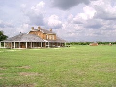 | Fort Richardson | building | 1966 | 66000816 |
 | Jack County Courthouse | building | 2012 | 12001002 |
Drawn when these were printed as single large sheets: the town seen from the air, and the county divided into its farms with every owner named. Each opens the original at the Library of Congress.

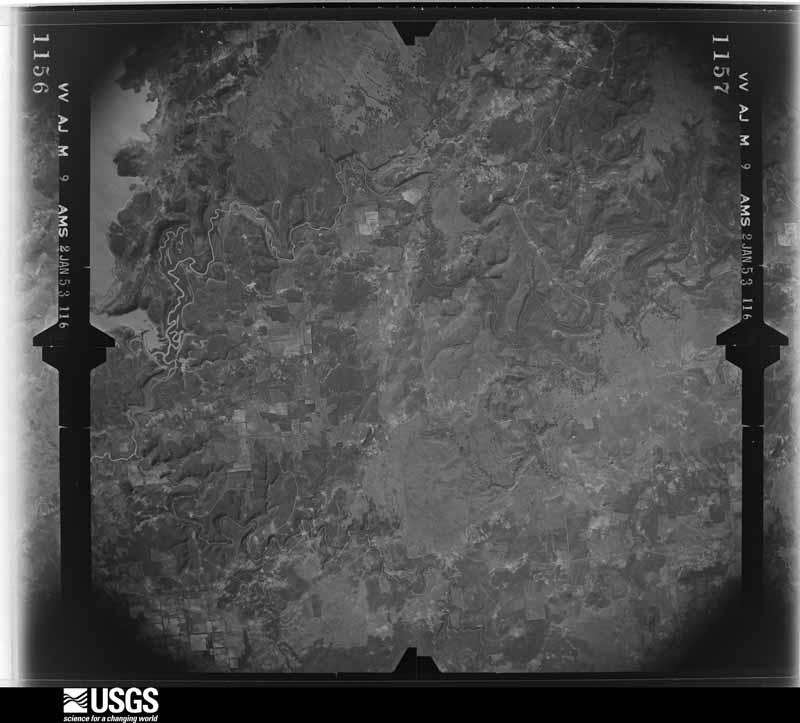
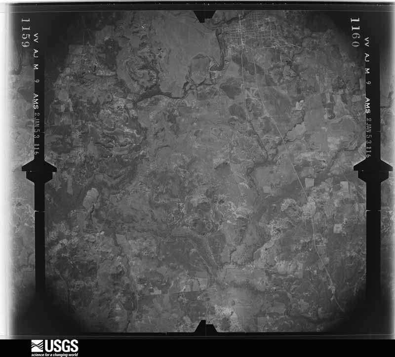
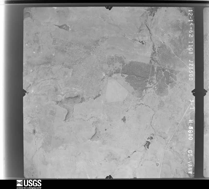
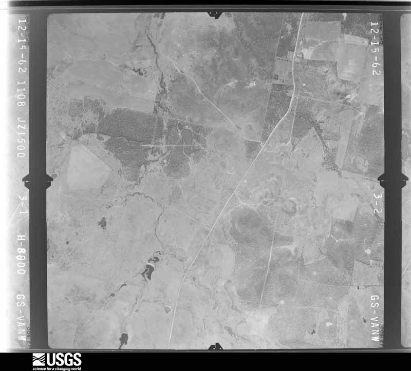
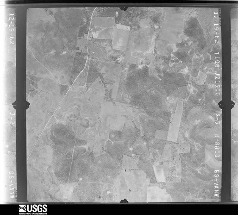
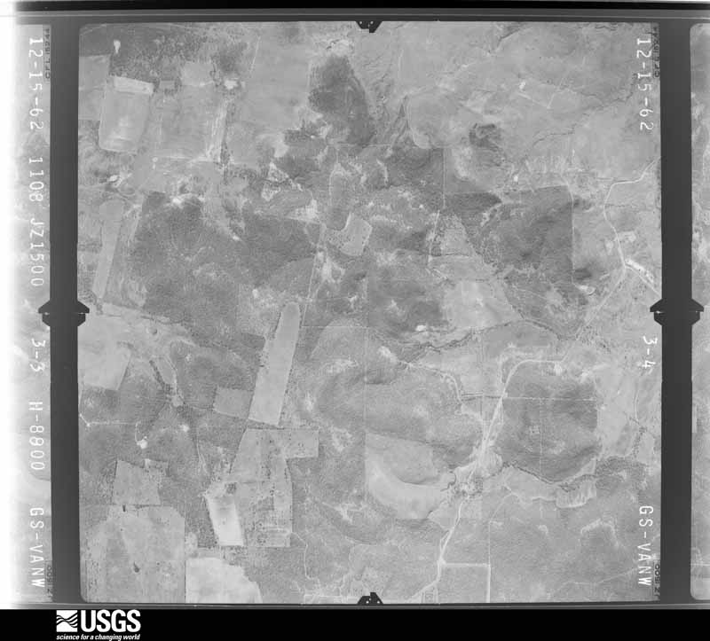
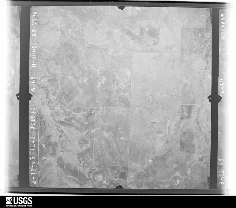
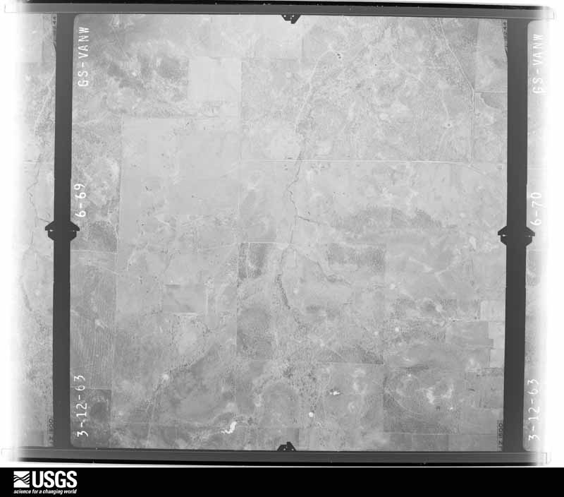
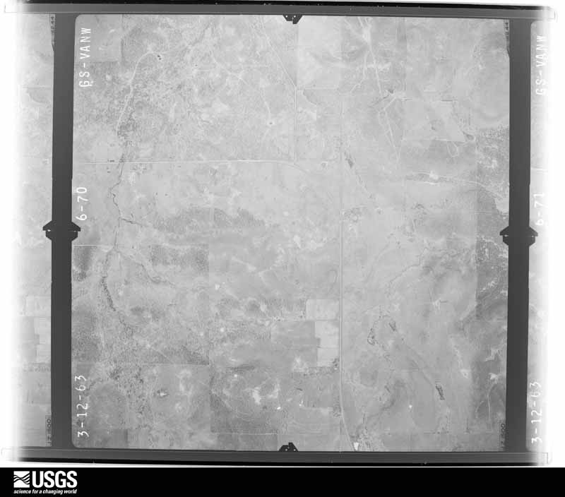
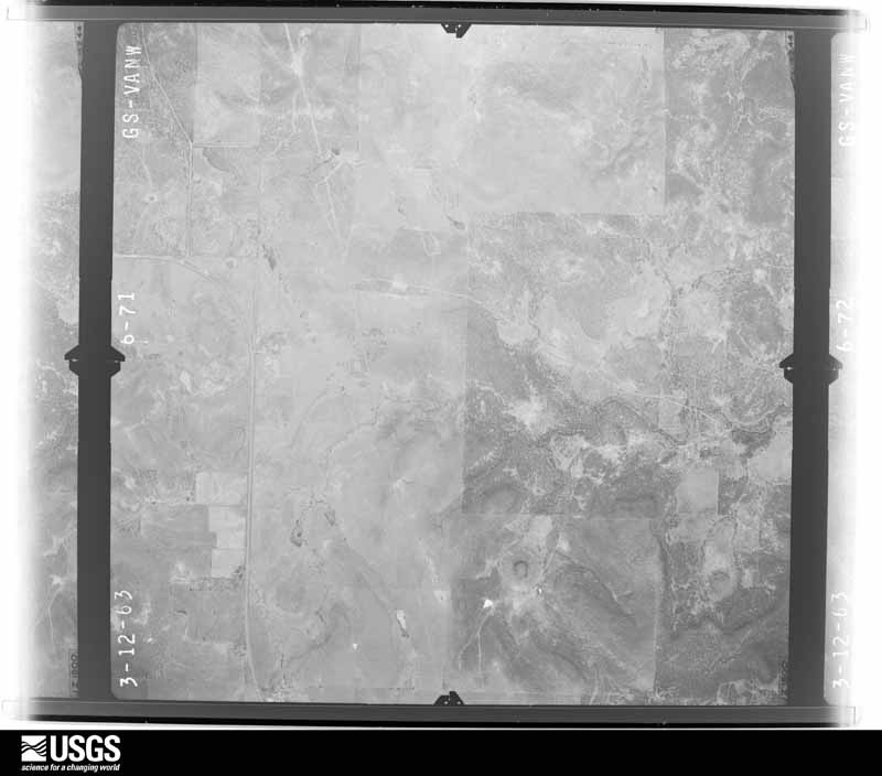
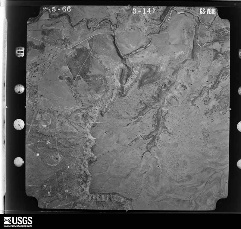
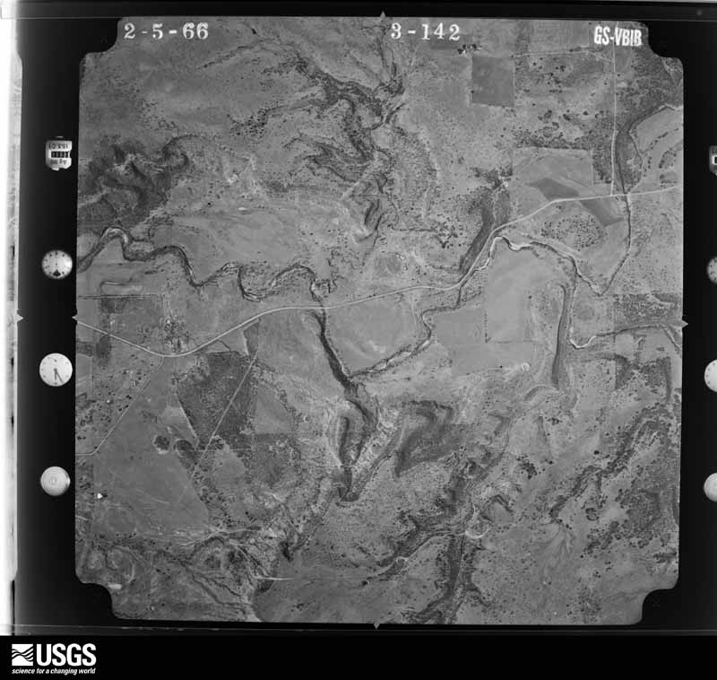
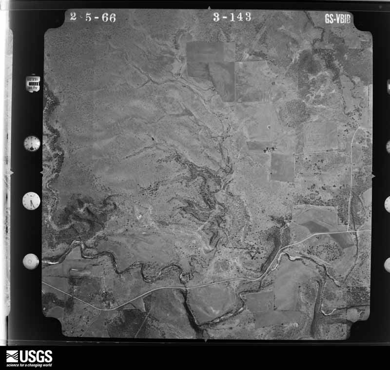
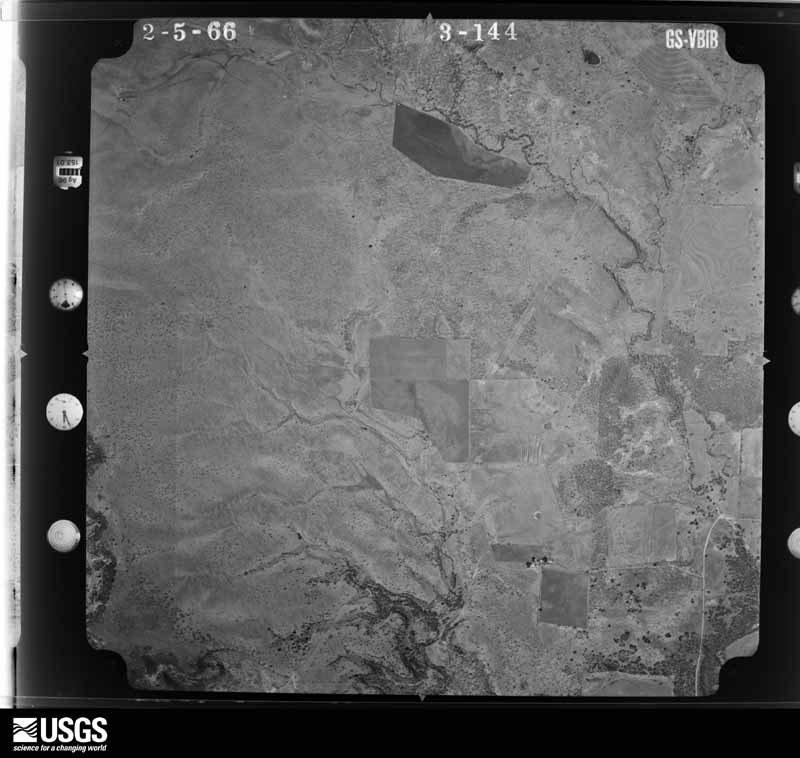
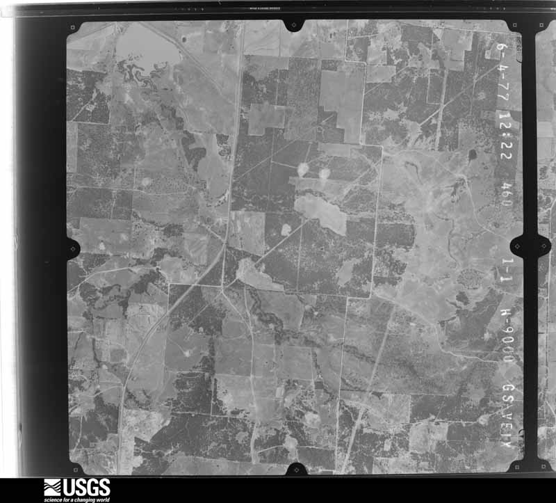
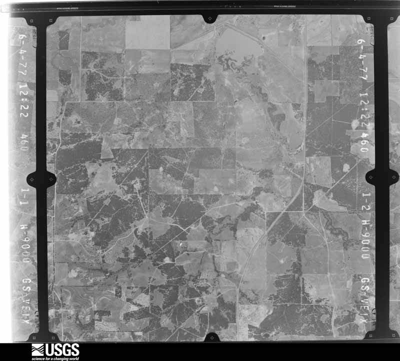
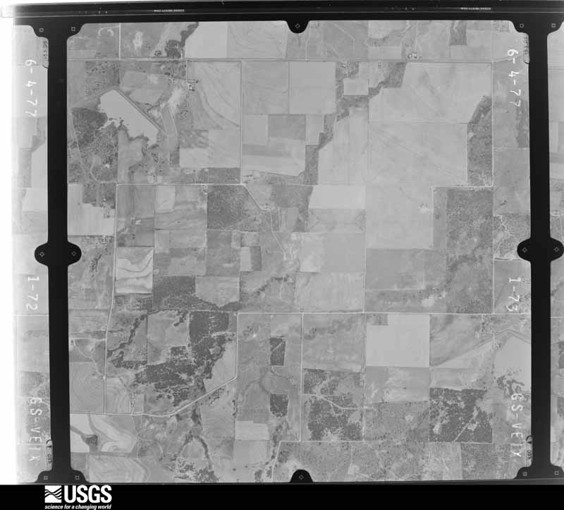
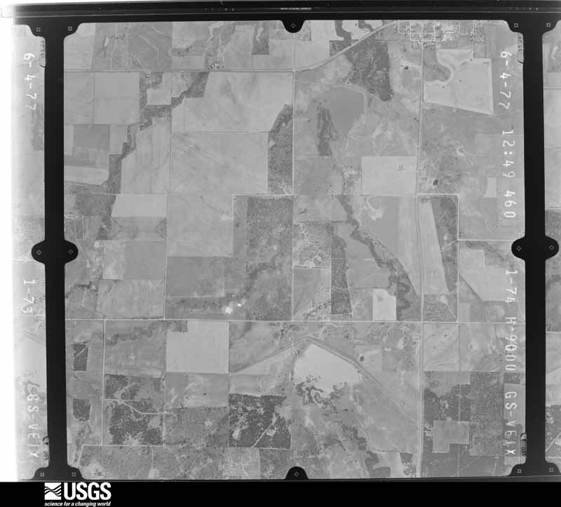
Flown by the U.S. Geological Survey between 1937 and 1989, the Aerial Photo Single Frames collection is the definitive mid-century view of the land: fields, roads and rivers as the camera saw them. The Survey holds 748 frames inside the rectangle that bounds this county; the 33 frames below were taken over the county itself, chosen across the decades of flights (at most four a year from that rectangle), so one flight cannot crowd out the rest. The full set is free to browse and download at EarthExplorer under the dataset Aerial Photo Single Frames.















The thermometers that kept this county's weather, and the gages that measured the flow of its streams, as the federal records hold them. The extremes below are measured values from those records, not estimates.
Who lived here in 1950, one enumeration district at a time, as the Census Bureau described each district. Each row opens its official National Archives result, with Population Schedules and ED Maps available there.
Every wildfire the federal occurrence database records inside this county: 582 of them, burning about 82,955 acres. 31 started naturally and 17 were recorded as arson. Each settlement page carries the fires within five miles of it.
| Reported cause | Fires |
|---|---|
| Missing data/not specified/undetermined | 207 |
| Equipment and vehicle use | 140 |
| Debris and open burning | 126 |
| Power generation/transmission/distribution | 35 |
| Natural | 31 |
| Arson/incendiarism | 17 |
| Smoking | 17 |
| Recreation and ceremony | 5 |
| Fireworks | 3 |
| Misuse of fire by a minor | 1 |
The five largest, by the area the report gives. None of them was recorded as arson.
| Date | Cause | Size | Reported by | Name on the report |
|---|---|---|---|---|
| 9 April 2009 | Missing data/not specified/undetermined | 16,444 acres | Texas A & M Forest Service | ROBERTS BRANCH - 56 |
| 11 March 2011 | Power generation/transmission/distribution | 7,555 acres | Texas A & M Forest Service | ENMIN FIRE |
| 7 August 2011 | Recreation and ceremony | 7,328 acres | Texas A & M Forest Service | CHERRY HOMES FIRE |
| 12 January 2006 | Missing data/not specified/undetermined | 4,728 acres | Texas A & M Forest Service | BURWICK |
| 3 December 2005 | Missing data/not specified/undetermined | 4,500 acres | Texas A & M Forest Service | FM 920 |
| 23 August 2011 | Missing data/not specified/undetermined | 2,600 acres | Texas A & M Forest Service | CAMPSEY FIRE |
| 16 April 2011 | Missing data/not specified/undetermined | 2,339 acres | Texas A & M Forest Service | SMITH FIRE |
| 23 February 2009 | Missing data/not specified/undetermined | 2,275 acres | Texas A & M Forest Service | WEST FORK FIRE |
Every settlement page carries the fires within five miles of it - see the settlement index below.
The NOAA Storm Events Database holds 417 reports for this county, causing no deaths, 13 injuries and about $5,773,000 in recorded property damage. Each settlement page carries the reports that name it.
| Kind of event | Reports |
|---|---|
| Hail | 245 |
| Thunderstorm Wind | 104 |
| Flash Flood | 31 |
| Tornado | 30 |
| Flood | 3 |
| Coastal Flood | 1 |
| Heavy Rain | 1 |
| Funnel Cloud | 1 |
| Lightning | 1 |
The most serious of them, by death, then injury, then recorded damage. The accounts are quoted exactly as the forecast office filed them.
| When | Event | Place named | Harm | What the report says |
|---|---|---|---|---|
| March 2022 | Tornado (EF3) | Bartons Chapel | 9 hurt | A long track tornado tracked from far southwestern Jack County, through the west side of Jacksboro, and into far southwestern Montague County. The tornado is believed to have begun near Halsell Ranch Rd and Barton Chapel Road where tree damage was observed. The first significant damage noted was on Kinder Mountain Road where the blades of 4 wind turbines were shredded, significant tree damage was observed, and damage to a home and storage barns was observed. The winds were likely EF2 strength in this location. The tornado continued to be tracked to the northeast by observing mostly minor house/roof damage and notable tree damage. As the tornado approached Jacksboro from the southwest it appeared to strengthen and widen. EF2 damage was observed to a secured manufactured home on ONeal Lane and also through the Synterra Estates neighborhood, just south of Highway 380 and west of FM 4. From here, the tornado moved into the western portions of Jacksboro where many homes sustained EF2 damage from Burwick Road all the way to the High School north of Highway 380. The tornado was approximately half a mile wide as it moved through this part of the city. Considerable roof damage and tree damage was observed in this area. Some walls on homes were impacted, and some structures that were not well secured collapsed. The tornado reached EF3 strength as it approached Wichita Avenue and the Jacksboro Elementary School. One well built home on Wichita Avenue suffered very significant roof damage along with other noted damage that indicated winds over 135 mph. From there, the tornado directly struck the elementary school where it ripped the roof off the gymnasium, causing one wall to collapse, bent flag poles to the ground, overturned cars, and more. Continuing to the northeast, the tornado moved through the high school campus, also ripping part of the roof off the high school, damaging the press box at the stadium, bending the field goal posts, bending a light pole to the ground, and more. This damage was determined to be EF2 in strength. Continuing on, the tornado was tracked all the way into far southwestern Montague County by mostly tree damage, damage to metal sheds and outhouses, minor to moderate damage to roofs, and collapsed high tension wire towers. Maximum estimated winds were in the 140-150 mph range. The total length of the tornado was 34.5 miles, accounting for the 0.53 miles the tornado tracked into Montague County (see separate entry). |
| May 1954 | Tornado (F1) | not stated | 4 hurt | no account filed |
| March 2025 | Thunderstorm Wind | Bartons Chapel | $2,000,000 | Emergency management shared images of wind turbine blades destroyed 8 miles southeast of Bryson. The wind turbine was 120 meters above ground level, and its last recorded wind speed was 109 mph. |
| October 1996 | Coastal Flood | not stated | $1,000,000 | no account filed |
| October 1979 | Tornado (F2) | not stated | $250,000 | no account filed |
| April 1965 | Tornado (F2) | not stated | $250,000 | no account filed |
| April 1955 | Tornado (F3) | not stated | $250,000 | no account filed |
| April 2025 | Tornado (EF1) | Marvetta | $150,000 | The third tornado in Jack County on the evening of April 19th formed near the intersection of State Highway 59 and FM 1810, approximately 3.25 miles west of the Cundiff community in eastern Jack County. Upon formation, the tornado moved northeast, paralleling FM 1810 for at least 2 miles. Significant tree damage occurred along portions of the path, consistent with EF-1 winds of approximately 90 mph. Multiple outbuildings were impacted with roof damage, and at least 3 residences sustained roof damage as well. An RV trailer at one residence was flipped over and totally destroyed. The tornado dissipated just west of the Cundiff community. |
| May 2015 | Tornado (EF0) | Vineyard | $150,000 | A National Weather Service damage survey crew determined a tornado caused damage over four miles across eastern Jack and far western Wise Counties. The tornado produced extensive tree damage across farm and ranch land, but did produce damage to three homes, and several buildings on one farm. |
| July 1995 | Thunderstorm Wind | Bryson | $150,000 | High winds destroyed two mobile homes, damaged the school roof and blew a large tree down onto a house, causing major roof damage. There were numerous reports of trees and signs blown down. |
| April 2024 | Hail | Jermyn | $100,000 | no account filed |
| May 2015 | Tornado (EF0) | Jacksboro | $80,000 | A National Weather Service damage survey crew found evidence of a brief tornado in the city of Jacksboro. The tornado moved in a southeast to northwest direction, beginning near the intersection of 4th street and Pine. The tornado moved northwest for approximately three blocks, damaging several trees, and producing roof damage to four homes. |
| April 2025 | Tornado (EF0) | Hensley | $75,000 | A tornado formed approximately 3.5 miles southeast of Jacksboro, near the intersection of Fields Lane and U.S. 281. The tornado formed in open pasture south of Hwy 281, then moved northeast and impacted 2 manufactured homes along Fields Lane, producing light roofing and siding damage. The tornado crossed Hwy 281, producing damage to a commercial building system and another manufactured home on the east side of 281. The tornado tracked northeast over mostly open pastureland, crossing U.S. Hwy 380 southeast of Jacksboro before dissipating. The most significant damage occurred to the commercial building along Hwy 281, consistent with high end EF-0 intensity winds of 80 mph. |
| March 2025 | Thunderstorm Wind | Bartons Chapel | $50,000 | Emergency management reported three feet diameter trees broken at the trunk, two well house buildings destroyed, and a barn door damaged along Teague Road, approximately 7 miles north of Graford. |
| April 2023 | Hail | Hensley | $50,000 | A storm chaser reported golf ball sized hail near the intersection of Highway 380 and Highway 281 in Jacksboro. |
| May 2020 | Hail | Jermyn | $50,000 | Emergency management reported baseball sized hail 8 miles west-northwest of the city of Jacksboro, TX. |
| May 2015 | Flash Flood | Senate | $50,000 | The Jack County sheriffs office reported that several roads were closed due to high water in and around Jacksboro. The road closures began just after 5 AM CDT, and lasted until approximately 7:30 AM. |
| May 1994 | Thunderstorm Wind | Jacksboro | $50,000 | Eighteen power line poles were blown down between Jacksboro and Oran. |
| May 1994 | Thunderstorm Wind | Bryson | $50,000 | One mobile home was heavily damaged and many trees were blown down by thunderstorm winds. |
| August 1994 | Thunderstorm Wind | Jermyn | $50,000 | Wind damage to trees and power lines was reported by the Channel 3 TV Station in Wichita Falls. |
| October 2014 | Hail | Jacksboro | $45,000 | Baseball sized hail was observed on the south side of Jacksboro. |
| February 1997 | Flash Flood | Jacksboro | $34,000 | no account filed |
| April 2012 | Hail | Senate | $30,000 | Golf ball sized hail was reported in Senate, which is approximately 8 miles west-southwest of Jacksboro on Highway 380. |
| March 1996 | Thunderstorm Wind | Jacksboro | $30,000 | no account filed |
| April 2025 | Thunderstorm Wind | Senate | $25,000 | Emergency Manager reported that panels and the entire truss structure of a metal outbuilding roof were blown off. |
| March 2020 | Tornado (EF0) | Stewarton | $25,000 | A severe thunderstorm in Jack County developed a tornado southeast of Jacksboro between Highways US-281 and US-380. The storm also produced two additional areas of straight line wind damage in the county. The tornado started northeast of US-281 in an open field and damaged several low-topped tree limbs. The tornado then crossed over a ridge and onto Dos Equis Ranch Road where it blew a manufactured building off its blocks. The building was secured with up-to-date straps. The tornado then continued northeast before lifting shortly after passing Dos Equis Ranch Road. The tornado was on the ground for approximately 1.8 miles and was 55 yards in width. It was rated an EF-0 with max winds estimated at 80 mph. |
| October 2014 | Hail | Senate | $25,000 | The Jack County sheriff's office relayed a report of hail damage. Several vehicles had broken windshields between Bryson and Jacksboro. |
| March 2004 | Thunderstorm Wind | Bryson | $25,000 | Power lines were blown down, trees were blown down, utility poles snapped off, and some houses unroofed. |
| June 2004 | Flash Flood | Jacksboro | $25,000 | Numerous streets were flooded and closed. One house was flooded. |
| October 1999 | Thunderstorm Wind | Bryson | $25,000 | Thunderstorm winds blew the roof off the City Hall. Chimneys were blown down, a pavilion and concession stand was unroofed, and trees were blown down. |
| April 2025 | Tornado (EF0) | Marvetta | $20,000 | The second tornado in Jack County during this event formed approximately 8.5 miles northeast of Jacksboro, or about 3.5 miles south of the Cundiff community in eastern Jack County. The tornado developed just off Coca Cola Ranch Road, west of the intersection with Sims Road. Soon after formation, the tornado impacted a power substation, resulting in a power outage to portions of the county. The tornado tracked northeast producing scattered tree damage along Coca Cola Ranch Road. Near the end of the track, an abandoned frame home sustained roof and window damage, and significant tree damage. The tornado dissipated in open country, shortly after impacting the frame residence. Damage along the path was consistent with high end EF-0 intensity winds of 80 mph. |
| May 2024 | Hail | Jermyn | $20,000 | Hail was estimated at 2 to 2.25 inches in Jermyn. |
| December 2022 | Thunderstorm Wind | Hensley | $20,000 | Reports of barns damaged along Hwy 281 to the southeast of Jacksboro. A tornado warning was in effect but the storm never produced a tornado in Jack County. |
| April 2020 | Hail | Bryson | $20,000 | The emergency manager and social media reported 1.75 - 2 inch hail in Bryson. |
| May 2015 | Hail | Antelope | $20,000 | The Jack County emergency manager reported baseball sized hail east of the Antelope Community. Several roofs were damaged, and several homes and cars suffered window damage. |
| May 2015 | Hail | Jacksboro | $20,000 | The Jacksboro fire department reported golf ball sized hail on the west side of Jacksboro, along US 380. |
| June 2009 | Tornado (EF1) | Senate | $20,000 | A tornado was observed on the ground for 4-5 minutes. Roofs and outbuildings were damaged. |
| June 2009 | Tornado (EF1) | Perrin | $20,000 | A slow moving tornadic cell produced a second tornado northwest of Perrin. Roofs and outbuildings were damaged near Perrin. |
| June 2008 | Thunderstorm Wind | Jacksboro | $20,000 | Large tree limbs fell on power lines and caused an interruption of electricity in town. |
| April 2007 | Thunderstorm Wind | Jacksboro | $20,000 | Storage shed damaged and power lines blown down. |
| March 2004 | Thunderstorm Wind | Jacksboro | $20,000 | A storage building was destroyed, there was roof damage to a house, a tree was blown down onto a truck, and trees and power lines were blown down. |
| May 2025 | Hail | Jolpin | $17,000 | Storm chaser photo showed a hail stone approximately 3.25 inches long by 2.5 inches wide fell in Joplin. |
| April 2025 | Thunderstorm Wind | Truce | $15,000 | Emergency manager reported large trees were snapped and a metal roof was removed from a barn 14 miles northwest of Jacksboro. |
| November 2024 | Flash Flood | Vineyard | $15,000 | A home was reported as flooded near the Jack/Wise County line off of US Hwy 380. |
| November 2024 | Flash Flood | Senate | $15,000 | A home was reported as flooded in the 2000 block of Dark Corner Road. This location is south of US Hwy 380, about half way between Bryson and Jacksboro. |
| August 2012 | Thunderstorm Wind | Jacksboro | $15,000 | Strong thunderstorm winds blew a silo onto a building in Jacksboro. A gas station in the city was also damaged. |
| June 2011 | Hail | Bryson | $15,000 | Baseball sized hail fell 5 miles south of Bryson. |
| June 2005 | Thunderstorm Wind | Perrin | $15,000 | Barn destroyed and blown into a house. |
| June 2011 | Hail | Antelope | $12,000 | no account filed |
| April 2026 | Thunderstorm Wind | Jacksboro | $10,000 | Emergency management reported an overturned trailer northwest of Jacksboro. |
| April 2026 | Tornado (EF1) | Postoak | $10,000 | A second tornado formed in northern Jack County in association with the intense supercell which tracked across the county into Wise and Parker counties. This second tornado formed west of Post Oak Road, just north of its intersection with Campsey Road. The tornado moved southeast in open terrain producing substantial tree damage as it paralleled Campsey Road. Most of these trees exhibited damage consistent with high-end EF-0 winds on the order of 70-80 mph. However, a number of trees exhibited more significant snapping and twisting along this part of the track, commensurate with low end EF-1 wind speeds of approximately 90 mph. The tornado continued southeast for approximately 4-5 more miles producing additional high end EF-0 and low end EF-1 damage to trees, a couple of oil storage tanks, and a few homes and outbuildings. The tornado crossed State Highway 59 west of Cundiff, continued to track southeast and dissipated before reaching Coca Cola Ranch Road near the West Fork of the Trinity River. |
| September 2025 | Thunderstorm Wind | Perrin | $10,000 | Metal and lightweight structures sustained damage in Perrin. |
| May 2023 | Thunderstorm Wind | Jacksboro | $10,000 | A tree was blown over onto a home in Jacksboro. |
| March 2020 | Thunderstorm Wind | Hensley | $10,000 | Thunderstorm winds associated with a tornadic thunderstorm caused damage to a facility on US HWY 281 south of Jacksboro. Metal storage facilities were damaged, large tree branches were broken, and power poles were leaning. |
| May 2020 | Hail | Jacksboro | $10,000 | Amateur radio received multiple reports of golf ball sized hail immediately west and northwest of the city of Jacksboro, TX. |
| May 2020 | Hail | Bartons Chapel | $10,000 | A public MPING report indicated golf ball sized hail approximately 9 miles east of the city of Bryson, TX. |
| May 2020 | Hail | Perrin | $10,000 | A public report indicated golf ball sized hail approximately 1 mile east of the city of Perrin, TX on FM 2210. |
| April 2016 | Flood | Bryson | $10,000 | Several roads remained flooded after up to 5 inches of rain fell across the county. Most of the flooding was near creeks and streams and in low lying areas. Flooding continued on Highway 199. |
| May 2015 | Hail | Antelope | $10,000 | A Jack County sheriff's deputy reported golf ball sized hail near Antelope. |
| October 2014 | Hail | Jacksboro | $10,000 | Trained spotters reported 3 inch deep hail drifts of hail. Most of the hail was quarter sized, but there were several half dollar sized hailstones in the mix. The drifts were noted at Highway 380 and Highway 199, approximately 2 miles south of Jacksboro. |
Named settlements recorded in the Geographic Names Information System, each with the topographic sheets covering it. Villages, hamlets and abandoned places alike. Each is shown with the nearest named watercourse or landform and the survey quadrangle it falls on.
Bryson census division · 76427 · On Carmichael Creek · Bryson quadrangle
8 sheets, 1954 to 1985
Perrin census division · 76487 · On Elm Pool Creek · Gibtown quadrangle
8 sheets, 1954 to 1991
Jacksboro census division · 76458 · On Halls Branch · Jacksboro quadrangle
9 sheets, 1954 to 1985
Perrin census division · 76426 · Near Wampler Hill · Gibtown quadrangle
8 sheets, 1954 to 1991
Jacksboro census division · 76458 · On Roper Branch · Lynn Creek quadrangle
8 sheets, 1954 to 1985
Jacksboro census division · 76458 · On Hall Creek · Cundiff quadrangle
7 sheets, 1954 to 1985
Jacksboro census division · 76458 · Near Mount Lebo · Antelope quadrangle
9 sheets, 1954 to 1985
Jacksboro census division · 76230 · Near Galliher Mountain · Newport quadrangle
7 sheets, 1954 to 1985
Perrin census division · 76458 · On Little Beans Creek · Wizard Wells quadrangle
8 sheets, 1954 to 1991