 Block
BlockBartons Chapel, Texas
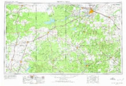
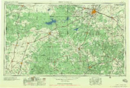
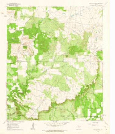
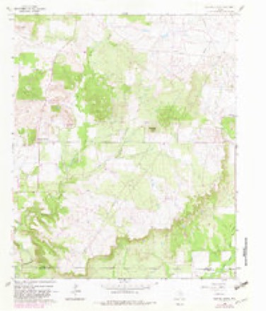
8 topographic sheets cover this place, the earliest surveyed in 1954 and the latest in 1985. It lies in ZIP code area 76458. It stands on Springdale Branch. The Survey maps it on the Bartons Chapel quadrangle.
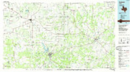
Topographic sheets covering this place
5 surveys from 8 printed sheetsMatched by testing this settlement's coordinate against the published boundary of every sheet in the United States Geological Survey's historical collection. Each opens the scanned sheet at the Survey.
- 1954 USGS Wichita Falls quadrangle1:250000, 3 printings
- 1958 USGS Wichita Falls quadrangle1:250000
- 1961 USGS Bartons Chapel quadrangle1:24000
- 1982 USGS Bartons Chapel quadrangle1:24000
- 1985 USGS Graham quadrangle1:100000, 2 printings
Fires near this place
23 since 2006Regional context, not property-specific evidence. The federal wildfire occurrence database lists 23 fires within 5 miles of Bartons Chapel between 2006 and 2018, burning about 12,344 acres in total. 1 started naturally. None was recorded as arson. Distance is straight-line from the map coordinates, so a fire counted here may appear on a neighbouring settlement's page as well.
| Reported cause | Fires |
|---|---|
| Missing data/not specified/undetermined | 9 |
| Equipment and vehicle use | 6 |
| Debris and open burning | 4 |
| Power generation/transmission/distribution | 3 |
| Natural | 1 |
The most recent of them, most recent first, with the day each was reported and the service that recorded it.
| Date | Cause | Size | Reported by | Name on the report |
|---|---|---|---|---|
| 9 September 2007 | Debris and open burning | 1.0 acres | Texas A & M Forest Service | not named |
| 14 September 2010 | Equipment and vehicle use | 65 acres | Texas A & M Forest Service | OLD CHRISTIAN RD FIRE |
| 7 August 2016 | Equipment and vehicle use | 1,458 acres | Texas A & M Forest Service | GALLUM RANCH ROAD |
| 6 August 2006 | Missing data/not specified/undetermined | 24 acres | Texas A & M Forest Service | not named |
| 6 August 2006 | Missing data/not specified/undetermined | 10 acres | Texas A & M Forest Service | POTTS FIRE |
| 3 August 2012 | Missing data/not specified/undetermined | 20 acres | Texas A & M Forest Service | WOODY FIRE |
| 11 July 2006 | Equipment and vehicle use | 7.0 acres | Texas A & M Forest Service | HASELL RANCH FIRE |
| 24 June 2018 | Natural | 250 acres | Texas A & M Forest Service | 2210 FIRE |
Storms near this place
16 since 1994Regional context, not property-specific evidence. The National Weather Service names Bartons Chapel in 16 storm reports between 1994 and 2026: 7 hail, 4 thunderstorm wind, 4 flash flood, 1 tornado. The reports record 9 injuries. Each account below is quoted exactly as the forecast office filed it, from the NOAA Storm Events Database, and each date opens the federal record of that event.
| When | Event | Place named | Harm | What the report says |
|---|---|---|---|---|
| March 2022 | Tornado (EF3) | Bartons Chapel | 9 hurt | A long track tornado tracked from far southwestern Jack County, through the west side of Jacksboro, and into far southwestern Montague County. The tornado is believed to have begun near Halsell Ranch Rd and Barton Chapel Road where tree damage was observed. The first significant damage noted was on Kinder Mountain Road where the blades of 4 wind turbines were shredded, significant tree damage was observed, and damage to a home and storage barns was observed. The winds were likely EF2 strength in this location. The tornado continued to be tracked to the northeast by observing mostly minor house/roof damage and notable tree damage. As the tornado approached Jacksboro from the southwest it appeared to strengthen and widen. EF2 damage was observed to a secured manufactured home on ONeal Lane and also through the Synterra Estates neighborhood, just south of Highway 380 and west of FM 4. From here, the tornado moved into the western portions of Jacksboro where many homes sustained EF2 damage from Burwick Road all the way to the High School north of Highway 380. The tornado was approximately half a mile wide as it moved through this part of the city. Considerable roof damage and tree damage was observed in this area. Some walls on homes were impacted, and some structures that were not well secured collapsed. The tornado reached EF3 strength as it approached Wichita Avenue and the Jacksboro Elementary School. One well built home on Wichita Avenue suffered very significant roof damage along with other noted damage that indicated winds over 135 mph. From there, the tornado directly struck the elementary school where it ripped the roof off the gymnasium, causing one wall to collapse, bent flag poles to the ground, overturned cars, and more. Continuing to the northeast, the tornado moved through the high school campus, also ripping part of the roof off the high school, damaging the press box at the stadium, bending the field goal posts, bending a light pole to the ground, and more. This damage was determined to be EF2 in strength. Continuing on, the tornado was tracked all the way into far southwestern Montague County by mostly tree damage, damage to metal sheds and outhouses, minor to moderate damage to roofs, and collapsed high tension wire towers. Maximum estimated winds were in the 140-150 mph range. The total length of the tornado was 34.5 miles, accounting for the 0.53 miles the tornado tracked into Montague County (see separate entry). |
| March 2025 | Thunderstorm Wind | Bartons Chapel | $2,000,000 | Emergency management shared images of wind turbine blades destroyed 8 miles southeast of Bryson. The wind turbine was 120 meters above ground level, and its last recorded wind speed was 109 mph. |
| March 2025 | Thunderstorm Wind | Bartons Chapel | $50,000 | Emergency management reported three feet diameter trees broken at the trunk, two well house buildings destroyed, and a barn door damaged along Teague Road, approximately 7 miles north of Graford. |
| May 2020 | Hail | Bartons Chapel | $10,000 | A public MPING report indicated golf ball sized hail approximately 9 miles east of the city of Bryson, TX. |
| May 1994 | Thunderstorm Wind | Bartons Chapel | $5,000 | A building was unroofed by high winds. |
| July 2019 | Flash Flood | Bartons Chapel | $500 | Emergency management reported a bridge covered by water and possibly washed out along Halsell Ranch Road approximately 1.5 miles west of FM 4 north of the city of Graford, TX. |
| April 2026 | Hail | Bartons Chapel | - | Trained spotter reported nickel size hail 9 miles east southeast of Bryson. |
| March 2020 | Thunderstorm Wind | Bartons Chapel | - | MPing report of small tree branches down. |
| April 2020 | Hail | Bartons Chapel | - | Hail report received via mPing. |
| April 2016 | Flash Flood | Bartons Chapel | - | The Jack County emergency manager reported Highway 4 at the Jack / Palo Pinto County line was closed due to the heavy rainfall. |
| May 2015 | Flash Flood | Bartons Chapel | - | A public report indicated that 2 feet of water covered FM 4 at Barton Chapel Rd in Jacksboro, TX. |
| March 2001 | Flash Flood | Bartons Chapel | - | One lane of Highway 4 was closed due to high water. |
| October 2001 | Hail | Bartons Chapel | - | Golfball size hail covered the ground. |
| February 2022 | Hail | Bartons Chapel | - | no account filed |
| March 2021 | Hail | Bartons Chapel | - | no account filed |
| April 1994 | Hail | Bartons Chapel | - | no account filed |
Nearest settlements
The eight closest, with where each one stands in the county. Distances are straight-line, computed from the Geographic Names Information System coordinates.
Elsewhere
Matched on this settlement's Geographic Names Information System number rather than its name, so it cannot be a different place of the same name in another state.
| Wikidata item Q122590403 | The structured record the population and elevation above come from. Public domain (CC0). |
Provenance
This settlement is recorded in the Geographic Names Information System as feature 1989108. The sheet list is computed by point-in-boundary test against the United States Geological Survey's historical topographic inventory. Both are works of the United States government and carry no copyright under 17 U.S.C. 105.
Wildfire. Short, Karen C. 2022. Spatial wildfire occurrence data for the United States, 1992-2020 [FPA_FOD_20221014]. 6th Edition. Fort Collins, CO: Forest Service Research Data Archive. https://doi.org/10.2737/RDS-2013-0009.6 Collected with United States Government funding and usable without additional permissions or fees.
Storms. NOAA National Centers for Environmental Information, Storm Events Database https://www.ncei.noaa.gov/stormevents/ A work of the United States government, no copyright under 17 U.S.C. 105. Narratives are quoted verbatim from the National Weather Service report and are not edited or summarised.