 Block
BlockFrom the record
1 National Register listing published here.
Sources: the National Register database, National Park Service
13 topographic sheets cover 5 settlements here, and 1 property is on the National Register of Historic Places.
1 National Register listing published here.
Sources: the National Register database, National Park Service
Every property in this county listed on the National Register of Historic Places, with the year it was listed and the federal nomination document.
| Photograph | Property | Type | Listed | Reference |
|---|---|---|---|---|
 | First National Bank Building | building | 1997 | 97001209 |
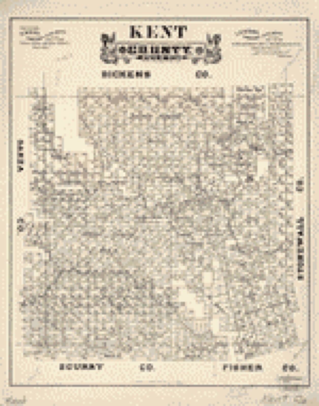
Drawn when these were printed as single large sheets: the town seen from the air, and the county divided into its farms with every owner named. Each opens the original at the Library of Congress.
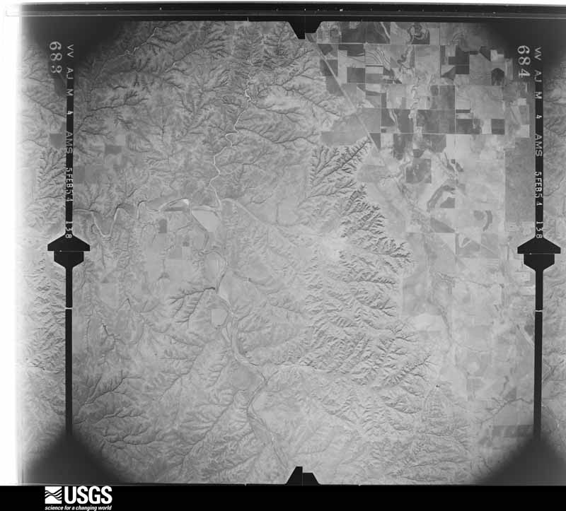
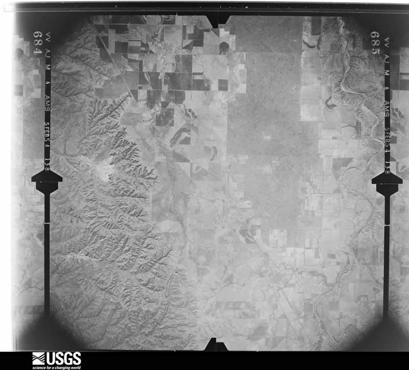
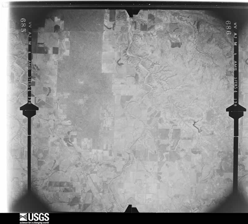
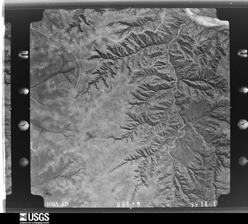
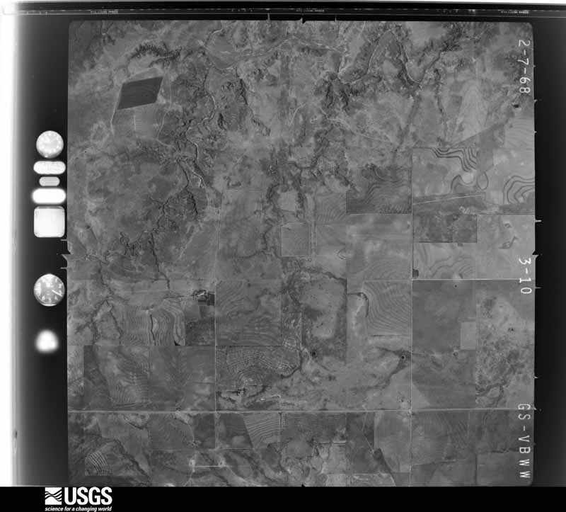
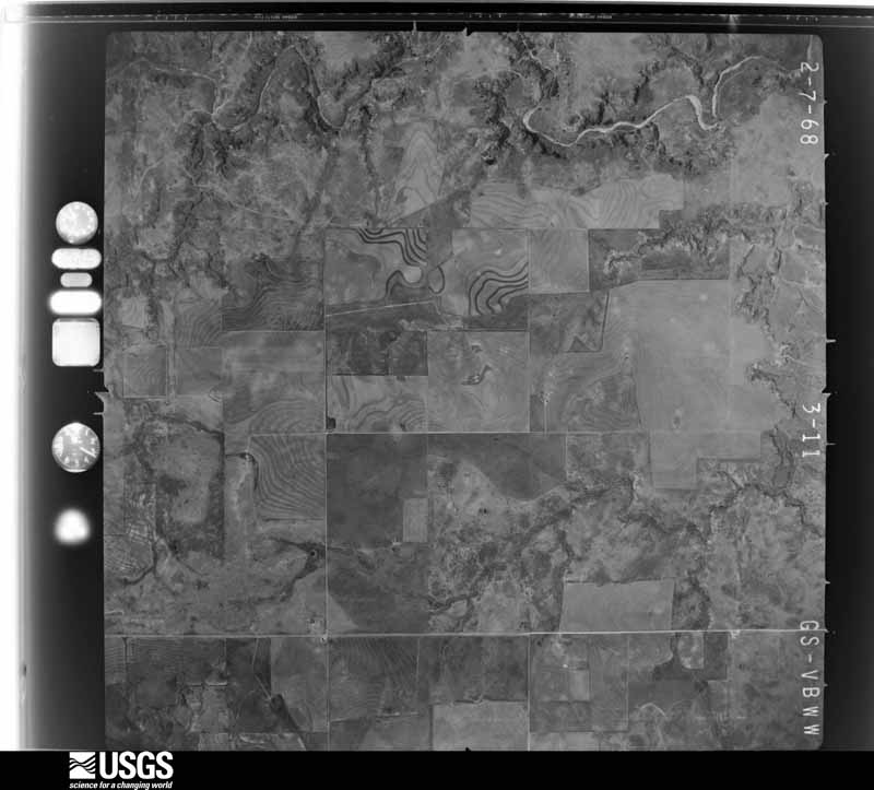
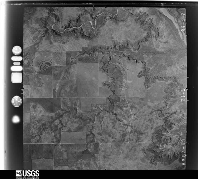
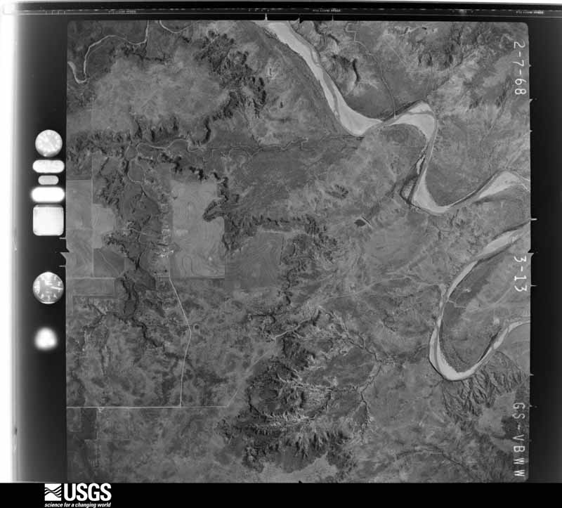
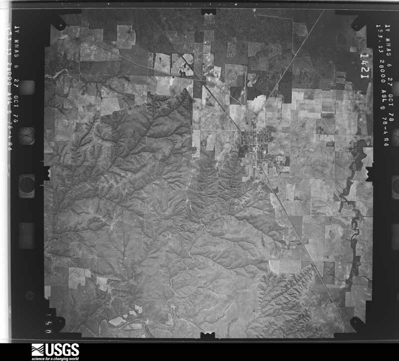
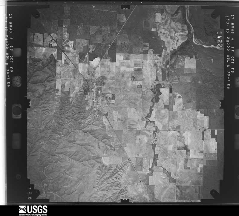
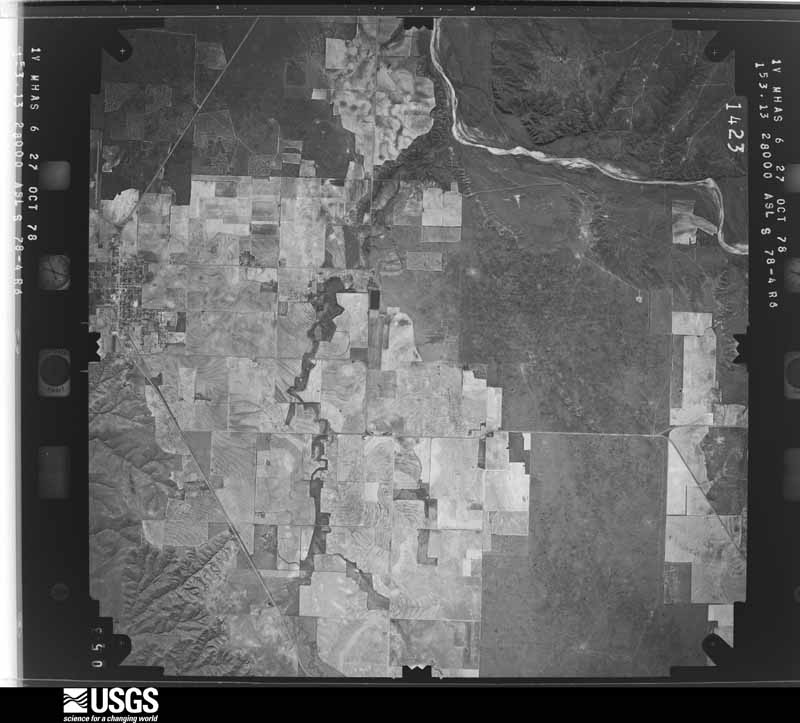
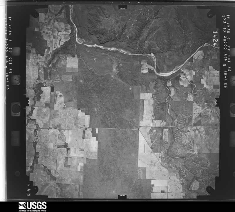
Flown by the U.S. Geological Survey between 1937 and 1989, the Aerial Photo Single Frames collection is the definitive mid-century view of the land: fields, roads and rivers as the camera saw them. The Survey holds 884 frames inside the rectangle that bounds this county; the 31 frames below were taken over the county itself, chosen across the decades of flights (at most four a year from that rectangle), so one flight cannot crowd out the rest. The full set is free to browse and download at EarthExplorer under the dataset Aerial Photo Single Frames.
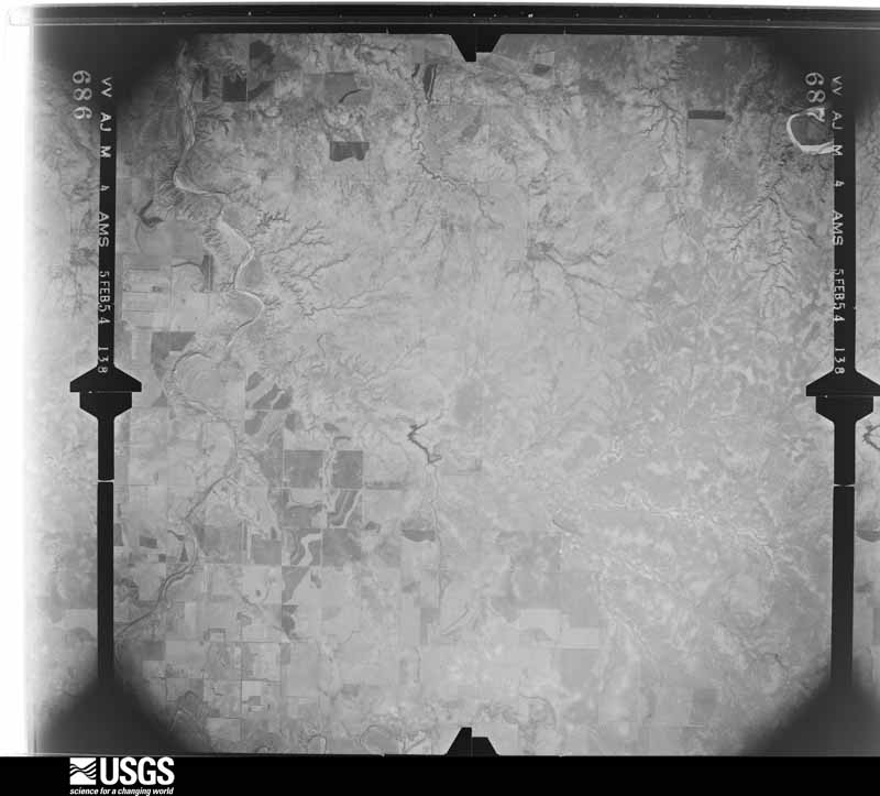
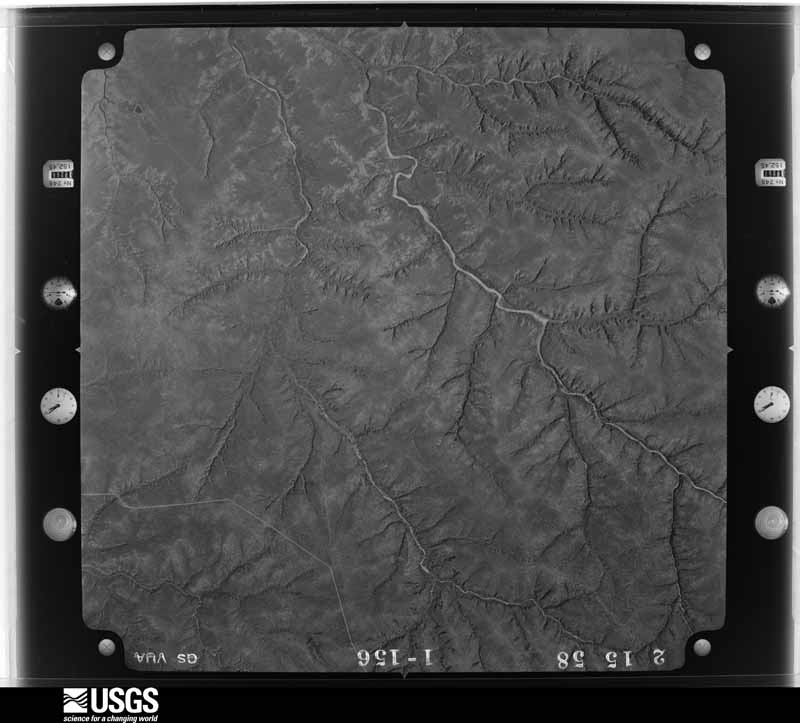
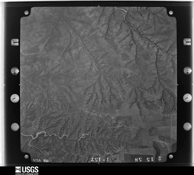
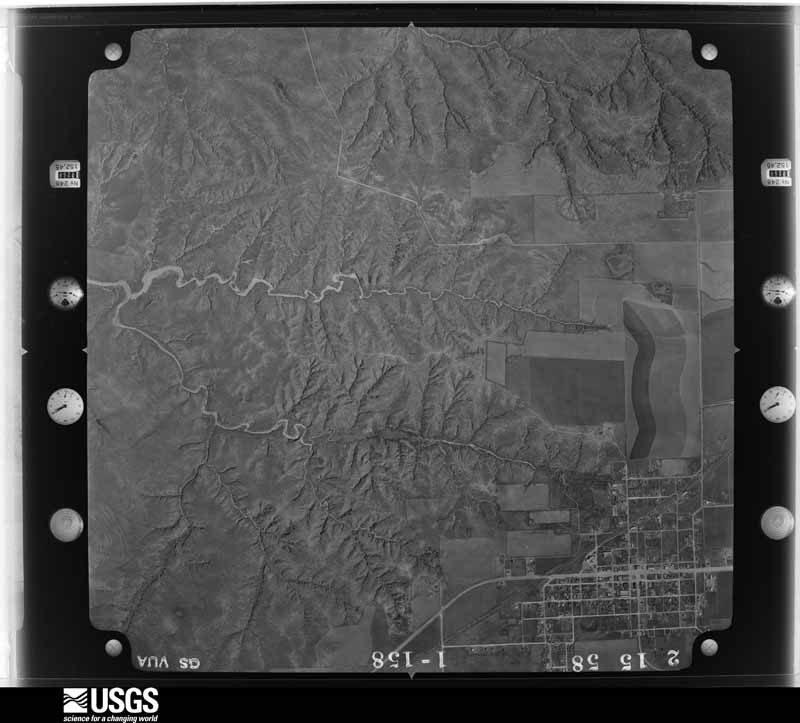
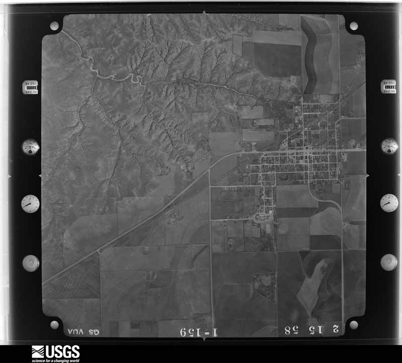
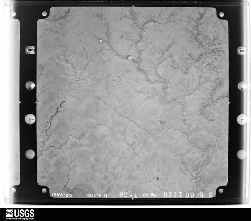
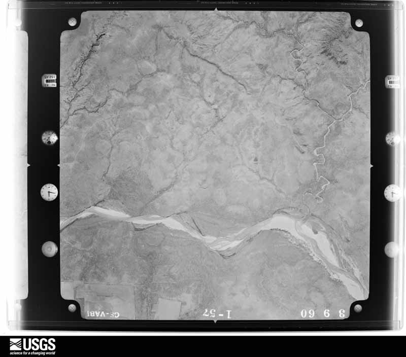
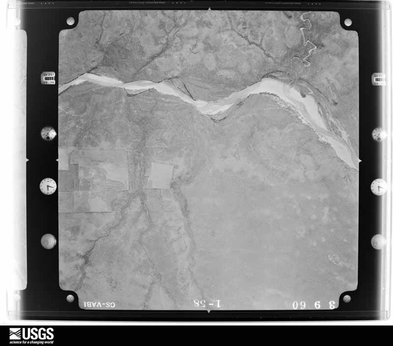
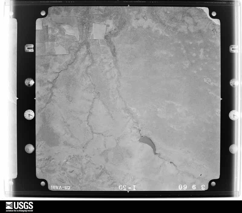
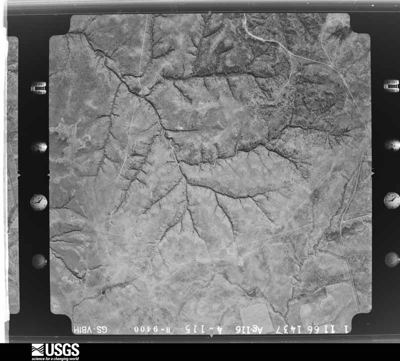
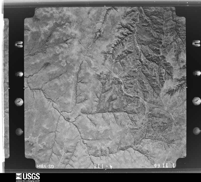
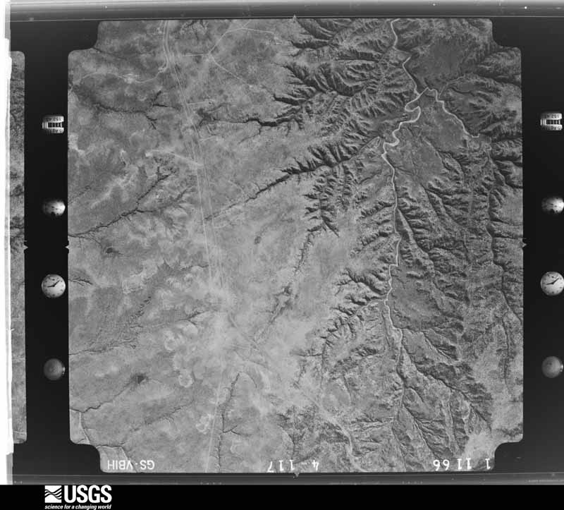







The thermometers that kept this county's weather, and the gages that measured the flow of its streams, as the federal records hold them. The extremes below are measured values from those records, not estimates.
Who lived here in 1950, one enumeration district at a time, as the Census Bureau described each district. Each row opens its official National Archives result, with Population Schedules and ED Maps available there.
Every wildfire the federal occurrence database records inside this county: 36 of them, burning about 181,056 acres. 6 started naturally and none was recorded as arson. Each settlement page carries the fires within five miles of it.
| Reported cause | Fires |
|---|---|
| Missing data/not specified/undetermined | 19 |
| Natural | 6 |
| Power generation/transmission/distribution | 5 |
| Equipment and vehicle use | 3 |
| Smoking | 2 |
| Debris and open burning | 1 |
The five largest, by the area the report gives. None of them was recorded as arson.
| Date | Cause | Size | Reported by | Name on the report |
|---|---|---|---|---|
| 11 April 2011 | Natural | 162,625 acres | Texas A & M Forest Service | COOPER MOUNTAIN RANCH FIRE |
| 4 February 2008 | Equipment and vehicle use | 4,000 acres | Texas A & M Forest Service | MESQUITE GROVE FIRE |
| 1 March 2008 | Missing data/not specified/undetermined | 4,000 acres | Texas A & M Forest Service | not named |
| 29 September 2011 | Missing data/not specified/undetermined | 2,200 acres | Texas A & M Forest Service | COOPER MTN FIRE (2) |
| 9 April 2011 | Power generation/transmission/distribution | 1,200 acres | Texas A & M Forest Service | MOBILE FIRE |
| 4 February 2008 | Missing data/not specified/undetermined | 1,000 acres | Texas A & M Forest Service | not named |
| 10 March 2006 | Smoking | 650 acres | Texas A & M Forest Service | not named |
| 15 October 2015 | Missing data/not specified/undetermined | 640 acres | Texas A & M Forest Service | FISHER COUNTY |
Every settlement page carries the fires within five miles of it - see the settlement index below.
The NOAA Storm Events Database holds 237 reports for this county, causing no deaths, no injuries and about $1,544,000 in recorded property damage. Each settlement page carries the reports that name it.
| Kind of event | Reports |
|---|---|
| Hail | 153 |
| Thunderstorm Wind | 47 |
| Tornado | 24 |
| Flash Flood | 9 |
| Heavy Rain | 3 |
| Funnel Cloud | 1 |
The most serious of them, by death, then injury, then recorded damage. The accounts are quoted exactly as the forecast office filed them.
| When | Event | Place named | Harm | What the report says |
|---|---|---|---|---|
| April 2019 | Thunderstorm Wind | Jayton | $300,000 | A downburst caused widespread damage to structures, trees, and about one dozen power poles in and around Jayton. Photos provided by the local Emergency Manager indicated numerous homes sustained mostly light roofing damage, although two homes completely lost their roofs. A few homes had west-facing windows blown out from airborne gravel and stones. Several trees were completely uprooted by these fierce straight line winds. Damage to structures was further compounded by waves of heavy rain overnight that caused water damage to walls, flooring, and personal property. An initial loss estimate of $300K was assigned for all damages. |
| May 2013 | Thunderstorm Wind | Girard | $300,000 | Similar to an earlier supercell in Floyd and Crosby Counties, intense downburst winds in the rear flank downdraft created prolonged and widespread destructive winds in northeast Kent County. These winds were likely enhanced by a strong mesocyclone that earlier was tornadic in southeast Dickens County. A Texas Tech University West Texas mesonet located one mile SSE of Jayton recorded 20 consecutive minutes of severe wind gusts ranging from 59 mph to 92 mph! In Girard and Jayton, scattered structural damage was commonplace and at least one trailer was completely destroyed. At least one home in Girard lost a portion of its roof, but damage to most homes in Girard and Jayton was less severe and consisted of shingle loss, damage to siding, cracked or shattered windows, and toppled fences. Several trees were damaged; one of which totaled a car in Jayton after landing directly on the vehicle. Damage to area farm and ranch land consisted of toppled center pivots and large storage tanks. Power outages were common as several dozen power poles were snapped. Fortunately, no injuries occurred during this extended bout of destructive winds; however, damage to some homes was compounded by heavy rains entering damaged roofs and cracked windows resulting in water damage to carpets, walls and furniture. A NWS storm survey the following day in Girard and Jayton uncovered classic divergent debris patterns associated with downbursts. Monetary losses are estimated at this time and may rise once insurance figures become available. |
| July 1979 | Tornado (F1) | not stated | $250,000 | no account filed |
| June 2005 | Tornado (F2) | Clairemont | $150,000 | The National Weather Service in Lubbock, TX conducted a damage survey in Kent County, approximately 8 miles to the northeast of Clairemont. In collaboration with the Center for Severe Weather Research in Boulder, CO and Texas Tech University meteorologists assessing the tornadoes across the county with Doppler-On-Wheels (DOW) data, a better understanding of the wind fields and tornado timing was achieved. The area of assessed damage was bounded by a triangle comprised of FM2320 to the south, FM1228 to the east, and CR112 to the west. There was a damage path characterized by tree damage across the zone. The path of the damage was oriented from a northeast-east to southwest-west direction. DOW data confirmed the large, wedge tornado initially propagated to the east and northeast, became nearly stationary, then rotate southward around the west side of the parent mesocyclone. The tornado moved to the southwest, then south and crossed FM1228 from the north/northeast to the south/southwest. The path of the tornado was between 0.6 to 0.7 miles wide. In assessing the damage, a circulatory patter was evident in a wheat field owned by a private farmer, with all of the wheat laying down to the south. Along this quadrant of the circulation, large farm equipment (tractors and cotton trailers) were tossed and mangled. An 80,000 lb box car was shaken by the tornado and the associated strong wind but was not moved from its location, however the contents inside were disturbed. The farm vehicles were tossed briefly a few times as there were scar marks and impact marks in the field as the equipment was blown to the south. The front-end of one tractor was snapped off after the second impact with the ground, as the vehicle was likely too heavy to remain airborne and was dragged and rolled by the tornadic wind and circulation. On the east side of the circulation, there were tree branches not grown in that immediate area that were stripped clean of bark. A cotton trailer (lighter than the other equipment) was lifted from its original location and was tossed to the north and mangled upon impact. The equipment was tossed approximately 3/10 of a mile within the circulation. It was evident from the damage pattern and debris, the circulation was multi-vortex in nature. The DOW measured wind speeds ranging from 45, 65 and 90 meters per second at various stages of the tornado life cycle at heights between 3 and 50 meters above ground level. |
| May 2006 | Thunderstorm Wind | Jayton | $75,000 | The West Texas Mesonet site located just south of Jayton measured severe thunderstorm wind gusts up to 82 MPH. The winds occurred along a narrow swath just south of the city. A National Weather Service storm survey team discovered one mobile home that was destroyed on the southern outskirts of Jayton, and another residence that suffered minor roof damage. Other damage was restricted to downed tree limbs. |
| June 2009 | Thunderstorm Wind | Jayton | $50,000 | The Texas Tech University West Texas Mesonet site near Jayton initially recorded a thunderstorm wind gust of 64 mph at 16:50 CST. By 17:15 CST, a 58 mph gust was additionally recorded by the same mesonet site. Local law enforcement officials reported that several utility lines and poles were blown down in the Jayton vicinity. Authorities reported that a number of residents were without power throughout much of the night. |
| May 2006 | Thunderstorm Wind | Clairemont | $50,000 | many large mesquite limbs were snapped from trees along U.S. Highway 380 near Clairemont. A local bed and breakfast inn suffered wind damage when several windows and a sliding glass door were blown out. Roof damage also occurred when a large tree was uprooted, and fell onto the south and southwest side of the building . A small grain silo also was destroyed. |
| June 2002 | Hail | Jayton | $50,000 | The Kent County Sheriff's office reported golfball size hail. |
| April 2000 | Hail | Jayton | $40,000 | no account filed |
| May 2017 | Thunderstorm Wind | Clairemont | $30,000 | South Plains Electric Cooperative reported that ten power poles were blown over along State Highway 70 just south of US Highway 380 southwest of Jayton. Furthermore, a sheriff's deputy with Kent County reported that windows in a barn were destroyed; most likely by wind driven hail. |
| June 2009 | Hail | Clairemont | $30,000 | Very large baseball size hail stones were reported by storm chasers in Clairemont. These hail stones were produced by a prolific supercell thunderstorm that developed over the Clairemont vicinity along a pre-existing outflow boundary. The storm moved very little for almost an hour. Minor damages to vehicles and roofs were reported. |
| June 2008 | Thunderstorm Wind | Jayton | $30,000 | A National Weather Service cooperative observer and local fire department officials reported that severe thunderstorm winds caused roof damage to at least two light weight structures in Jayton around 21:15 CST on the 16th. Tin that was blown off of one roof was reportedly wrapped around a tree. No injuries were reported. |
| June 2004 | Thunderstorm Wind | Clairemont | $30,000 | Strong thunderstorm wind destroyed a trailer. |
| April 1991 | Tornado (F2) | not stated | $25,000 | no account filed |
| June 2009 | Hail | Clairemont | $20,000 | Multiple reports of large hail were received from the Clairemont vicinity as a large supercell thunderstorm developed along a pre-existing outflow boundary and remained almost stationary. Local fire department officials initially reported golfball size hail east of Clairemont along U.S. Highway 380 at 13:47 CST. By 13:58, very large hail was reported in Clairemont as the storm grew in coverage and intensity and effectively back built toward the town. Nickel size hail continued to fall near Clairemont until 14:37 CST. Although minor damage to vehicles and roofs occurred, no major damage was reported. |
| April 2003 | Hail | Girard | $15,000 | The Kent County Sheriff reported golfball size hail. |
| April 2000 | Hail | Jayton | $15,000 | no account filed |
| April 2000 | Hail | Jayton | $15,000 | no account filed |
| May 2004 | Hail | Clairemont | $10,000 | The Kent County Sheriff's Office reported golfball size hail. |
| April 2000 | Hail | Jayton | $10,000 | no account filed |
| April 2000 | Hail | Girard | $10,000 | no account filed |
| June 1995 | Hail | Girard | $10,000 | no account filed |
| May 2006 | Hail | Girard | $5,000 | Hail up to the size of baseballs was observed by the Spur Fire Department in northwestern Kent County. Fire department vehicles sustained minor damage. These giant hailstones were associated with one of two isolated supercells that impacted southern Dickens County, Crosby, Garza, and Kent Counties. |
| June 1999 | Thunderstorm Wind | Clairemont | $5,000 | Strong thunderstorm wind blew down at least two power poles. |
| June 1999 | Hail | Jayton | $5,000 | Large hail damaged a few automobiles. |
| May 1996 | Thunderstorm Wind | Girard | $5,000 | no account filed |
| May 2000 | Thunderstorm Wind | Girard | $4,000 | Strong thunderstorm wind blew down power poles in town. |
| March 1973 | Tornado (F1) | not stated | $2,500 | no account filed |
| May 1967 | Tornado (F0) | not stated | $2,500 | no account filed |
| April 2025 | Hail | Girard | - | Law enforcement in Kent County reported hail up to four inches in diameter in the town of Girard. No damage was reported. |
| April 2025 | Hail | Girard | - | Multiple storm chasers reported hail along Texas State Highway 70 between Girard and Jayton ranging in size from quarters to ping pong ball size. |
| April 2025 | Thunderstorm Wind | Jayton | - | An NWS cooperative weather observer reported that a roof was blown off an abandoned home in Jayton. At the same time, a Texas Tech University West Texas mesonet site near Jayton measured a wind gust to 57 mph. |
| April 2025 | Flash Flood | Jayton Kent Co Arpt | - | Flash flooding due to heavy rain occurred over Texas State Highway 70 between Girard and Jayton. Several severe thunderstorms moved over the same area producing multiple rounds of heavy precipitation. |
| June 2025 | Hail | Girard | - | A storm chaser reported golf ball size hail along Farm to Market Road 1081 in northwestern Kent County. |
| June 2025 | Hail | Clairemont | - | A storm chaser reported two inch diameter hail north of Clairmont along Texas State Highway 208. No damage was reported at the time. |
| June 2025 | Hail | Girard | - | An NWS cooperative weather observer reported hail up to two inches in diameter along Farm to Market Road 2320 in Kent County. No damage was reported at the time. |
| June 2025 | Funnel Cloud | Clairemont | - | A storm chaser observed a brief funnel cloud north of Clairmont. |
| June 2025 | Hail | Jayton | - | A storm chaser reported half dollar size hail on the northwest side of Jayton. |
| June 2025 | Hail | Jayton | - | A report was received on mPing of quarter size hail on the northwest side of Jayton. |
| July 2024 | Thunderstorm Wind | Jayton | - | A Texas Tech University West Texas mesonet site near Jayton measured a severe wind gust of 61 mph. |
| April 2024 | Hail | Girard | - | A report of golf ball size hail was received from the public. |
| May 2024 | Thunderstorm Wind | Jayton | - | A Texas Tech University West Texas mesonet site near Jayton measured severe wind gusts from 1953 CST through 1956 CST. A peak wind gust of 80 mph was measured at 1954 CST. |
| June 2023 | Hail | Jayton | - | Law enforcement in Jayton reported hail as large as four inches in diameter along State Highway 70 between Jayton and Girard. This hail resulted in an unknown amount of damage along State Highway 70 in northeastern Kent County. |
| June 2023 | Thunderstorm Wind | Girard | - | A swath of strong winds and damage associated with a rear flank downdraft occurred over a three county area. In Girard, an NWS survey team found two homes that had their roofs partially or completely removed. In Jayton, several smaller outbuildings were completely destroyed along with some peeling back of porch roofs. The Texas Tech University West Texas mesonet site near Jayton measured a 109 mph peak wind gust at 2107 CST. Additional damage to trees and partial peeling of a home's roof was found on Farm to Market Road 1083 southwest of Jayton. Minor damage occurred to the mesonet near Jayton. |
| February 2023 | Thunderstorm Wind | Jayton | - | A Texas Tech University West Texas mesonet site near Jayton measured a severe wind gust of 64 mph. |
| June 2023 | Hail | Clairemont | - | A storm chaser reported golf ball size hail east of Clairemont along US Highway 380. |
| June 2023 | Hail | Jayton | - | An NWS cooperative weather observer reported quarter size hail in Jayton. |
| June 2023 | Thunderstorm Wind | Jayton | - | A Texas Tech University West Texas mesonet site near Jayton measured a wind gust of 60 mph. |
| June 2023 | Thunderstorm Wind | Jayton | - | A Texas Tech University West Texas mesonet site near Jayton measured a wind gust of 64 mph. |
| June 2022 | Thunderstorm Wind | Jayton | - | A Texas Tech University West Texas mesonet site near Jayton measured a wind gust of 62 mph. |
| May 2021 | Hail | Clairemont | - | Several reports of hail up to baseball size were received from storm chasers in a swath from about nine miles southwest of Girard to the town of Girard. No damage was reported. |
| May 2021 | Hail | Jayton | - | Law enforcement reported a swath of hail along Texas Highway 70 from Jayton to about two miles northwest of Jayton. |
| October 2021 | Hail | Clairemont | - | A storm chaser measured hail up to ping pong ball size along US Highway 380 in Kent County. |
| May 2020 | Hail | Clairemont | - | A report was received via mPING of quarter size hail near the intersection of Farm to Market Roads 2320 and 1081. |
| May 2020 | Thunderstorm Wind | Jayton | - | A Texas Tech University West Texas mesonet site near Jayton measured a wind gust to 60 mph. |
| May 2020 | Thunderstorm Wind | Jayton | - | A Texas Tech University West Texas mesonet site near Jayton measured a wind gust to 64 mph. |
| May 2020 | Hail | Jayton | - | A report from the public was received of one inch hail in Jayton. |
| April 2019 | Hail | Clairemont | - | No damage was reported. |
| April 2019 | Hail | Jayton Kent Co Arpt | - | Damage information was not available. |
| April 2019 | Thunderstorm Wind | Jayton Kent Co Arpt | - | Measured by a Texas Tech University West Texas mesonet. |
Named settlements recorded in the Geographic Names Information System, each with the topographic sheets covering it. Villages, hamlets and abandoned places alike. Each is shown with the nearest named watercourse or landform and the survey quadrangle it falls on.
Jayton South census division · 79528 · Near Tater Hills · A B C Creek quadrangle
6 sheets, 1954 to 1985