 Block
BlockFrom the record
4 National Register listings published here.
Sources: the National Register database, National Park Service
36 topographic sheets cover 10 settlements here, and 4 properties are on the National Register of Historic Places.
4 National Register listings published here.
Sources: the National Register database, National Park Service
Every property in this county listed on the National Register of Historic Places, with the year it was listed and the federal nomination document.
| Photograph | Property | Type | Listed | Reference |
|---|---|---|---|---|
 | Brambletye | building | 1982 | 82004511 |
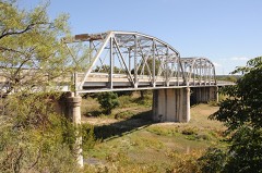 | State Highway 27 Bridge at Johnson Fork | structure | 1996 | 96001113 |
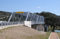 | State Highway 27 Bridge at the South Llano River | structure | 1996 | 96001124 |
Drawn when these were printed as single large sheets: the town seen from the air, and the county divided into its farms with every owner named. Each opens the original at the Library of Congress.
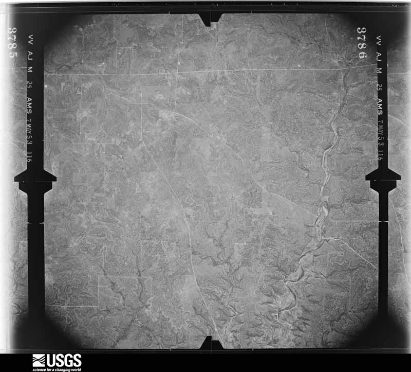
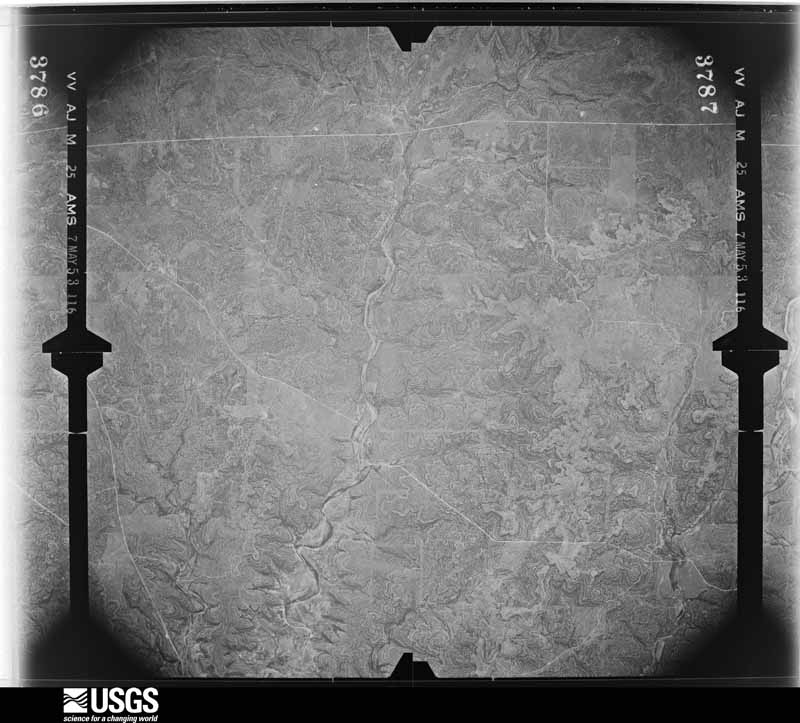
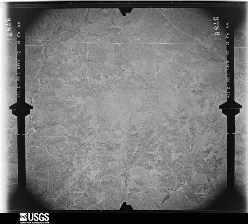
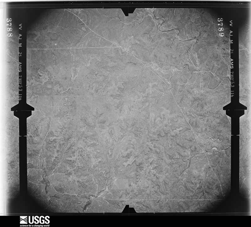
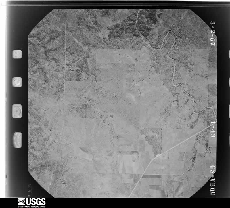
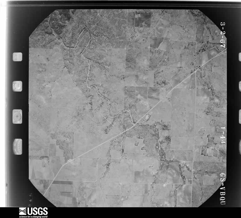
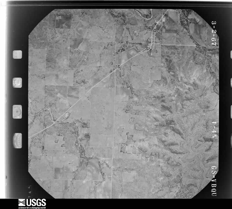
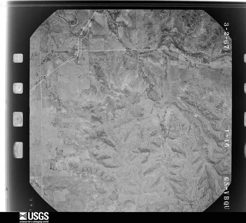
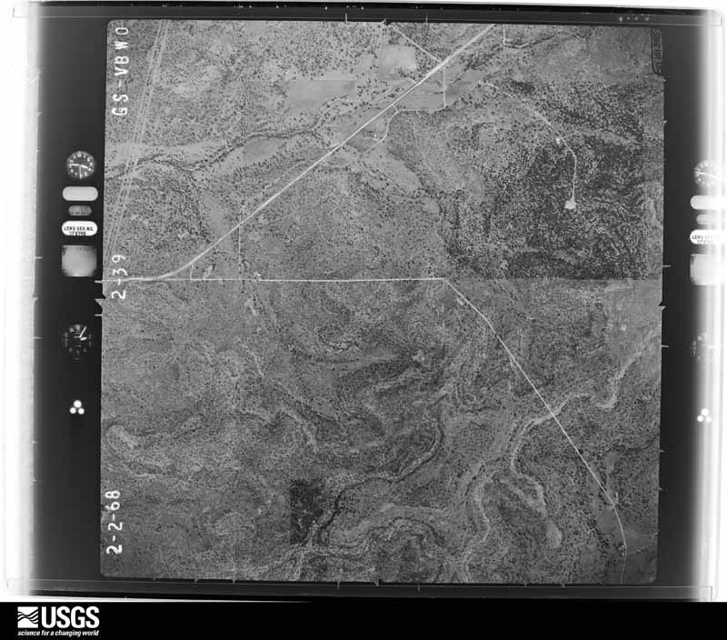
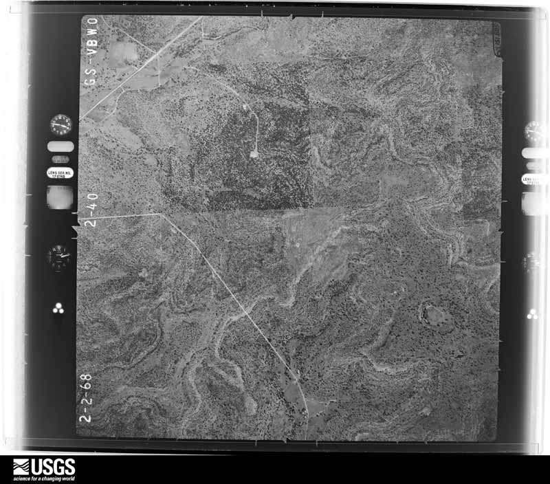
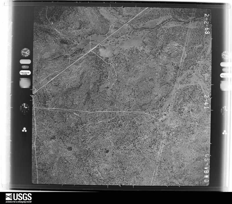
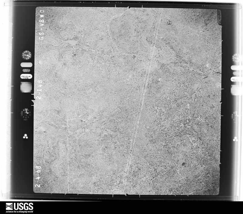
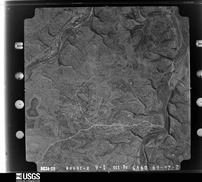
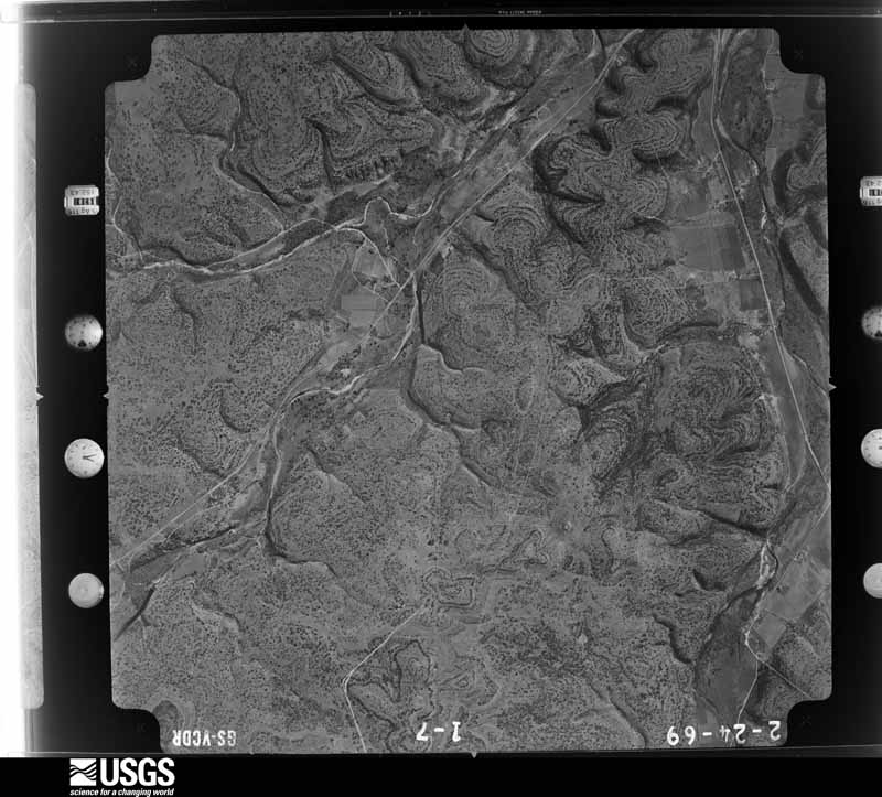
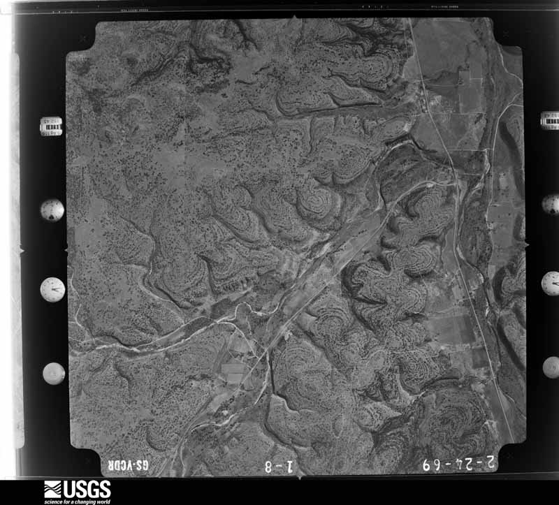
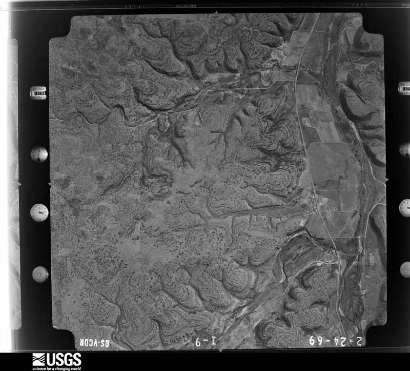
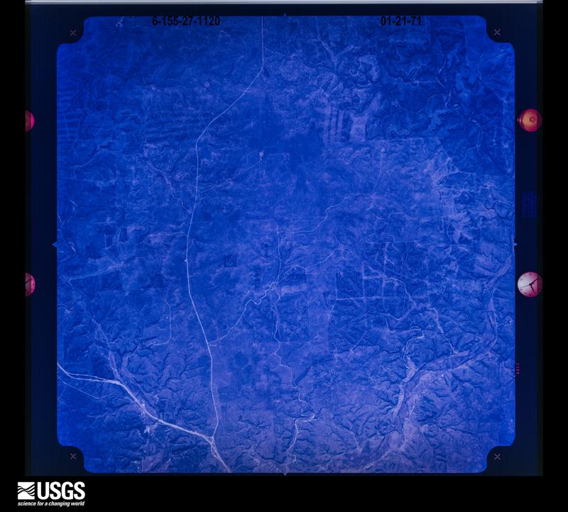
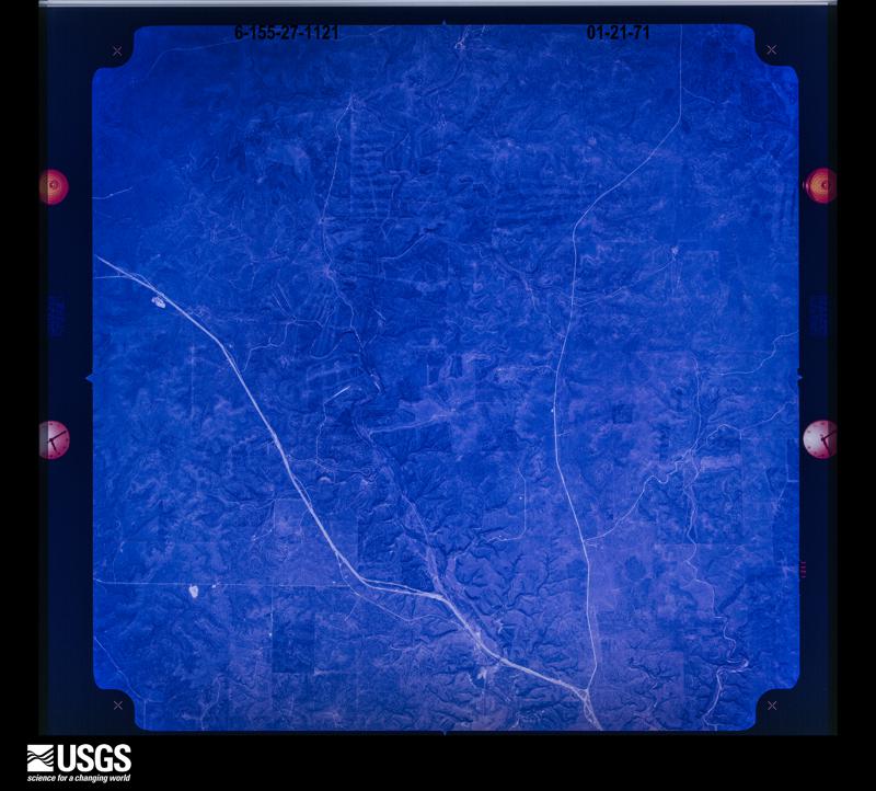
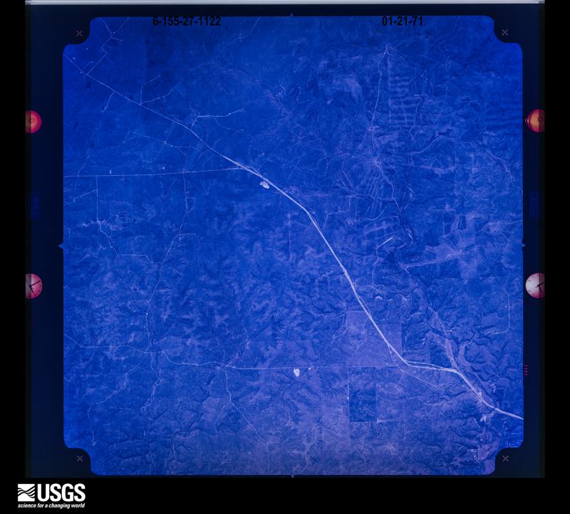
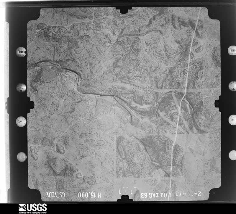
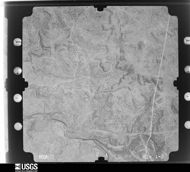
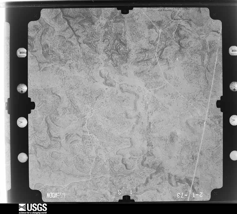
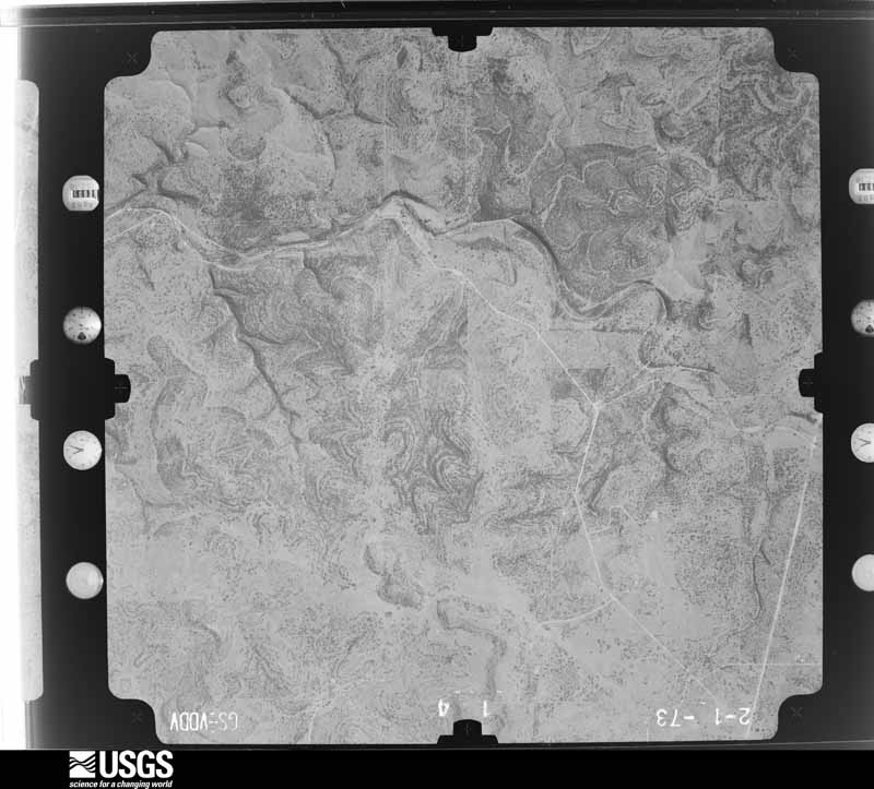
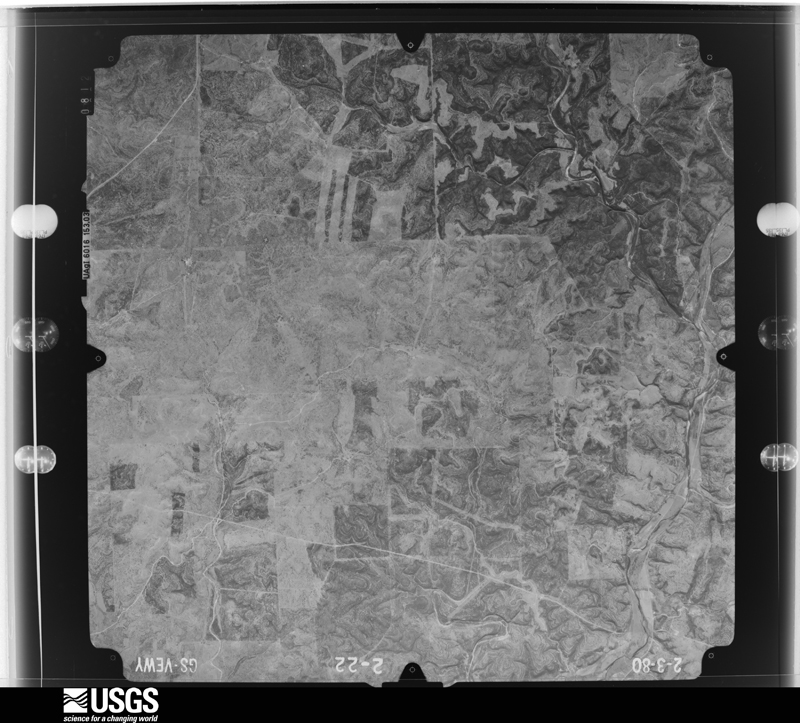
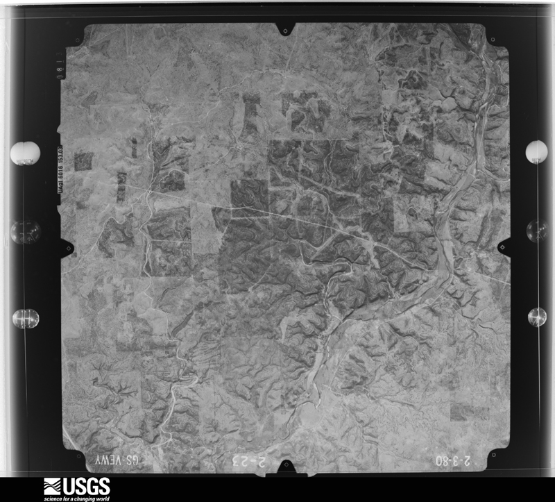
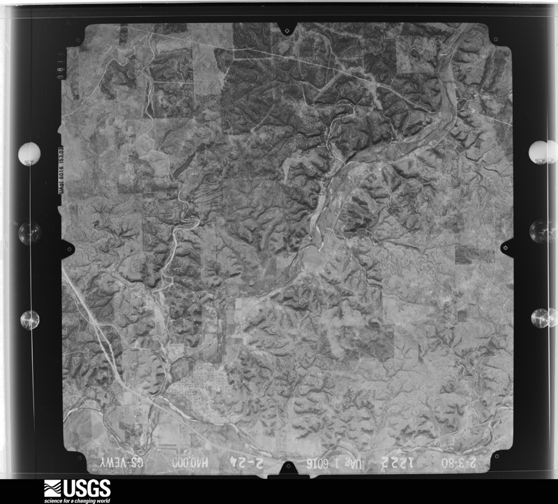
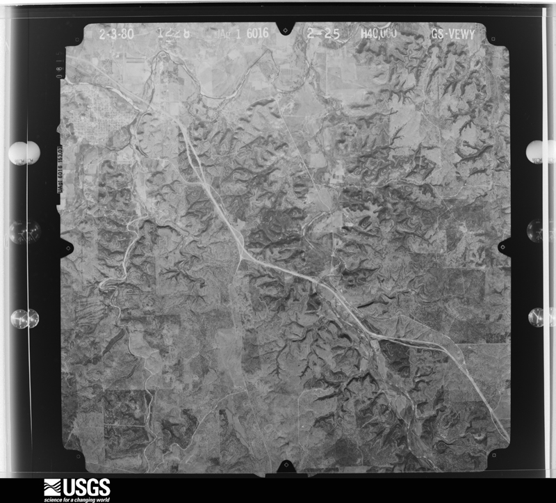
Flown by the U.S. Geological Survey between 1937 and 1989, the Aerial Photo Single Frames collection is the definitive mid-century view of the land: fields, roads and rivers as the camera saw them. The Survey holds 738 frames inside the rectangle that bounds this county; the 36 frames below were taken over the county itself, chosen across the decades of flights (at most four a year from that rectangle), so one flight cannot crowd out the rest. The full set is free to browse and download at EarthExplorer under the dataset Aerial Photo Single Frames.
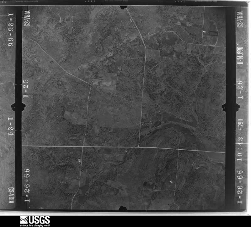
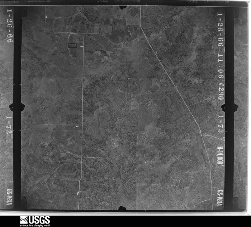
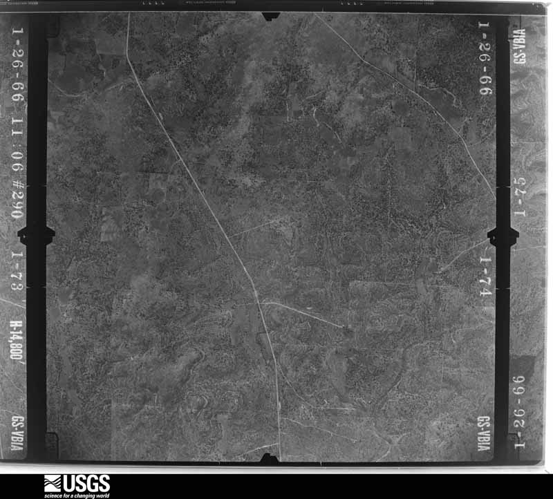
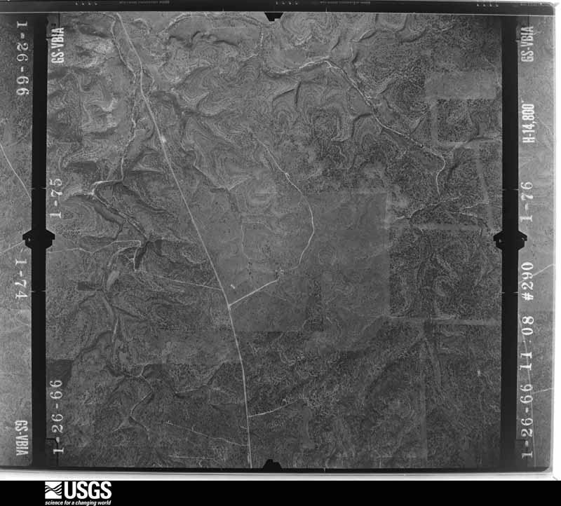

The thermometers that kept this county's weather, and the gages that measured the flow of its streams, as the federal records hold them. The extremes below are measured values from those records, not estimates.
Who lived here in 1950, one enumeration district at a time, as the Census Bureau described each district. Each row opens its official National Archives result, with Population Schedules and ED Maps available there.
Every wildfire the federal occurrence database records inside this county: 269 of them, burning about 16,034 acres. 30 started naturally and 1 was recorded as arson. Each settlement page carries the fires within five miles of it.
| Reported cause | Fires |
|---|---|
| Equipment and vehicle use | 94 |
| Debris and open burning | 71 |
| Missing data/not specified/undetermined | 53 |
| Natural | 30 |
| Power generation/transmission/distribution | 9 |
| Smoking | 5 |
| Recreation and ceremony | 5 |
| Arson/incendiarism | 1 |
| Misuse of fire by a minor | 1 |
The five largest, by the area the report gives. None of them was recorded as arson.
| Date | Cause | Size | Reported by | Name on the report |
|---|---|---|---|---|
| 26 April 2011 | Missing data/not specified/undetermined | 9,445 acres | Texas A & M Forest Service | OASIS FIRE |
| 2 August 2016 | Debris and open burning | 804 acres | Texas A & M Forest Service | KC 1121 |
| 19 June 2008 | Debris and open burning | 800 acres | Texas A & M Forest Service | not named |
| 30 August 2011 | Natural | 600 acres | Texas A & M Forest Service | BIG DRAW FIRE |
| 27 December 2005 | Missing data/not specified/undetermined | 450 acres | Texas A & M Forest Service | LITTLE DEVIL'S RIVER |
| 26 June 2010 | Natural | 325 acres | Texas A & M Forest Service | 2010-39 |
| 7 April 2010 | Debris and open burning | 280 acres | Texas A & M Forest Service | 2010-28 |
| 15 August 2010 | Missing data/not specified/undetermined | 240 acres | Texas A & M Forest Service | 2010-63 |
Every settlement page carries the fires within five miles of it - see the settlement index below.
The NOAA Storm Events Database holds 242 reports for this county, causing 5 deaths, 5 injuries and about $24,732,700 in recorded property damage. Each settlement page carries the reports that name it.
| Kind of event | Reports |
|---|---|
| Hail | 144 |
| Thunderstorm Wind | 42 |
| Flash Flood | 40 |
| Tornado | 7 |
| Flood | 4 |
| Funnel Cloud | 3 |
| Heavy Rain | 1 |
| Lightning | 1 |
The most serious of them, by death, then injury, then recorded damage. The accounts are quoted exactly as the forecast office filed them.
| When | Event | Place named | Harm | What the report says |
|---|---|---|---|---|
| October 2018 | Flash Flood | Telegraph | 4 killed, 3 hurt, $9,000,000 | Some rural residents were trapped in their homes by a major flash flood on the S. Llano River and Cedar Creek, in some cases requiring them to be rescued. Others awoke to find water in their homes and were able to evacuate themselves.||The Above and Beyond RV Resort, located adjacent to the South Llano River, was completely flooded, washing RVs and motor vehicles down stream, trapping people who sought refuge in trees in the park, and carrying some down the river. First responders who arrived at the scene before daylight, heard people, who they were unable to see in trees and on top of RVs, calling for help. They threw life preservers to the victims in the water. ||Miraculously, a woman who was staying at the RV park was carried about 23 river miles downstream before being rescued near Yates Crossing. She was slightly injured. At least two others were injured. ||Old Cedar Creek flows into the South Llano River just a few hundred yards above the park. In the early hours of Monday morning, the normally small creek came expanded to 300 yards in size and poured volumes of water into the S. Llano. This water seemed to have arrived just prior to the wall of water from the South Llano. Rescue workers said they could hear the sound of a roar with a wall of water coming down the river. ||Authorities have reported that 40-45 people were evacuated and 19 people were rescued by helicopter or swift water rescue boats. There were three men and one woman who drowned. Some of these victims did all they could to help others evacuate the RV Park.||Cost of road damage was estimated at 9 million dollars. Damage to property was unknown. |
| May 2019 | Lightning | Junction | 1 killed | A man from Midland was killed by lightning while he and his family were camping at Llano State Park. |
| May 1996 | Thunderstorm Wind | Junction | 1 hurt, $5,000 | no account filed |
| May 2005 | Thunderstorm Wind | Junction | 1 hurt, $3,000 | Strong thunderstorm wind gusts overturned a travel trailer injuring one person inside. |
| October 2018 | Flood | Cleo | $10,000,000 | Prolonged heavy rainfall continued to flood roads across Kimble County. This flooding damaged 324 miles of roads and several bridges. |
| June 1997 | Flash Flood | Segovia | $5,000,000 | Four to eight inches of rain fell over much of Kimble County, with ten inches reported at Segovia and 16 inches a few miles north of Segovia. The heavy rains and floodwaters closed Farm-to-Market roads and highways throughout the county. Water was five feet deep at the entrance to South Llano State Park. The county judge estimated millions of dollars of damage on roads and bridges. |
| March 2019 | Tornado (EF0) | Junction | $100,000 | In Junction, the NWS survey team found evidence of two tornadoes. The first touchdown was located 0.8 miles west southwest of Junction in a residential neighborhood. At this location, they found damage to storage sheds and an awning. The tornado broke a power pole near the base and blew out windows of a nearby residence. The tornado damage was consistent with an EF0 tornado. |
| March 1997 | Flash Flood | London | $100,000 | no account filed |
| August 1996 | Flash Flood | Junction | $100,000 | no account filed |
| November 1996 | Thunderstorm Wind | London | $100,000 | no account filed |
| July 2002 | Flash Flood | Countywide | $80,000 | Heavy rains fell across Kimble County producing widespread flooding throughout the county. At the height of the flood several roads were closed due to high water, including Highway 377. Most of the property damage was due to road washouts. |
| August 2003 | Thunderstorm Wind | Junction | $70,000 | A severe thunderstorm moved across Kimble County producing 70 MPH winds. These winds ripped the roof off of a house and caused significant tree damage. |
| October 1996 | Flash Flood | Segovia | $50,000 | no account filed |
| November 2000 | Flash Flood | Countywide | $25,000 | Slow moving thunderstorms dropped 6 to 8 inches of rain across much of Kimble County. Creeks and draws quickly became flooded, forcing the closure of many roadways, including U.S. Highway 377 south of Junction. |
| May 1969 | Tornado (F3) | not stated | $25,000 | no account filed |
| June 2007 | Thunderstorm Wind | (Jct)Kimble Co Arpt | $23,000 | Significant wind damage was reported in Junction. Several trees were blown down and caused damage to nearby buildings. |
| March 2004 | Thunderstorm Wind | Junction | $10,000 | Strong thunderstorm winds moved through Junction resulting in damage to a business as well as several other structures. Several large trees were blown down as well. |
| September 1997 | Thunderstorm Wind | Roosevelt | $10,000 | Winds uprooted trees. |
| June 2007 | Thunderstorm Wind | (Jct)Kimble Co Arpt | $8,000 | Thunderstorm winds produced damage in and around Junction. |
| October 2004 | Thunderstorm Wind | Roosevelt | $8,000 | Roof blown off of a home. |
| July 2003 | Thunderstorm Wind | Roosevelt | $8,000 | A severe wind gust tore a roof off of a home. |
| October 2002 | Flash Flood | Telegraph | $5,000 | The South Llano River flooded the South Llano State Park and flowed over Highway 377 for almost a day and a half. The bulk of the water came from heavy rains that fell on the upper end of the South Llano River in Northern Edwards County. There were several waves of heavy rains over southern Kimble County that produced several rises on the river as well and kept the river elevated for a long period of time. |
| March 2008 | Thunderstorm Wind | (Jct)Kimble Co Arpt | $1,000 | A carport was blown over onto some cars 6 miles northeast of Junction on U.S. Highway 377. |
| October 2004 | Hail | Junction | $1,000 | Car windsheilds were smashed in. |
| March 2005 | Hail | London | $500 | Golfball size hail was reported near London. |
| May 1999 | Thunderstorm Wind | Junction | $200 | High winds downed a pecan tree just north of Junction. |
| May 2025 | Hail | Junction | - | Public reported numerous quarter to half dollar size hail. |
| May 2025 | Hail | Junction | - | Sheriff's office reported lots of dime size hail with some quarter size hail mixed in. |
| May 2025 | Hail | London | - | Public reported damage to tree limbs and broken car windows from very large hail. The hail was mostly golf ball sized with some baseball sized hail reported. |
| May 2025 | Hail | London | - | A storm chaser reported baseball size hail. |
| July 2025 | Flash Flood | London | - | Law enforcement reported that there were several high water rescues including a boat rescuing people from a mobile home as well as rescuing a motorist trapped in a tree escaping the flood waters. Also, several low water crossings were flooded. Time is estimated by radar. |
| July 2025 | Flash Flood | Cleo | - | Public reported 2 to 3 feet deep flood waters across RM 2291 in north-central Kimble County. |
| July 2025 | Flash Flood | Junction | - | The Kimble County Emergency Manager reported that numerous roads were flooded in Kimble County, with road closures at various locations. In addition, numerous streets are flooded in Junction and Roosevelt. |
| March 2024 | Hail | Cleo | - | Public reported ping pong ball size hail. |
| February 2024 | Hail | (Jct)Kimble Co Arpt | - | Public reported half dollar size hail. |
| July 2024 | Flash Flood | Segovia | - | Law enforcement reported an effort in progress helping a family out of their home which had about 2 feet of water running through it. Law enforcement also reported that E. Ranch Rd./FM 2169 is closed from Segovia to Junction. |
| May 2024 | Hail | (Jct)Kimble Co Arpt | - | Public reported quarter size hail. |
| May 2024 | Hail | Cleo | - | Public reported on social media golf ball to tennis ball size hail just south of Cleo. |
| April 2023 | Hail | Junction | - | There was some hail possibly larger than quarter size. There were tents damaged due to the wind and hail. |
| June 2023 | Hail | London | - | Public reported ping pong ball size hail. |
| June 2023 | Thunderstorm Wind | (Jct)Kimble Co Arpt | - | ASOS reported a 62 mph wind gust. |
| June 2023 | Hail | (Jct)Kimble Co Arpt | - | The public reported quarter size hail in Junction near I-10. |
| June 2023 | Hail | Junction | - | Law Enforcement reported golf ball size hail in Junction. |
| June 2023 | Hail | Cleo | - | COOP observer reported half dollar size hail. There was mostly dime size hail falling for 2 hours. |
| July 2023 | Thunderstorm Wind | Junction | - | Public reported a large tree fell on a RV camper located at the Morgan Shady RV Park. |
| October 2023 | Flash Flood | London | - | An emergency manager reported Ranch Road 385 and Farm to Market Road 3480 was closed due to water over the road from Red Creek. |
| October 2023 | Flash Flood | Junction | - | There was flash flooding around Junction. There were road closures to County Road 450, Ranch Road 2189, County Road 410, County Road 320, County Road, Ranch Road 385 and areas along US 377. Also, there was 4 to 7 inches of rain during the past 18 hours. |
| October 2023 | Flood | Junction | - | Public reported flooding near South Llano River State Park. |
| October 2023 | Flood | Junction | - | NWS COOP observer reported the road to the state park is impassable. |
| October 2023 | Flood | Junction | - | An emergency manager reported the road is impassable due to flooding. |
| September 2023 | Flash Flood | Segovia | - | Law Enforcement reported water over Farm to Market Road 2169 near I-10. |
| May 2021 | Thunderstorm Wind | Junction | - | The Park/Forest Service reported damage to several trees and large tree limbs in South Llano State Park. |
| May 2021 | Thunderstorm Wind | Segovia | - | The West Texas Mesonet site at Segovia 7 SSW measured a wind gust of 65 mph. |
| March 2021 | Hail | (Jct)Kimble Co Arpt | - | Law enforcement reported golf ball to baseball size hail fell at Mile Marker 451 along Interstate 10. |
| March 2021 | Hail | Junction | - | Golf ball to baseball size hail was reported near South Llano State Park. |
| March 2021 | Hail | Junction | - | The public reported golf ball size hail in Junction. |
| March 2021 | Hail | Segovia | - | A photo of hail estimated to be 1.5 inches in diameter at Segovia was received from social media. |
| March 2021 | Funnel Cloud | Roosevelt | - | Law enforcement reported a storm chaser located 4 miles south southeast of Roosevelt reported two funnel clouds south of Roosevelt. They were never seen touching the ground. |
| May 2021 | Hail | Cleo | - | The public reported hail up to golf ball size along Mile Marker 445 on I-10 west of Junction. |
| May 2021 | Hail | Cleo | - | A rainfall observer reported golf ball to baseball size hail between Junction and Roosevelt. |
The Survey's mineral resources record lists 8 workings inside this county. 6 still produce and 2 are closed or unrecorded. Each settlement page carries the workings within five miles of it.
| Commodity | Workings |
|---|---|
| Gypsum-Anhydrite | 3 |
| Sand and Gravel, Construction | 3 |
| Stone, Crushed/Broken | 2 |
The least common of them first, because a county's hundredth gravel pit says nothing its first ten did not.
| Where | Site | Commodity | Status | Recorded |
|---|---|---|---|---|
| 219 Kimble County | Stone, Crushed/Broken | Producer | ||
| Strain Brothers Incorporated | Stone, Crushed/Broken | Producer | ||
| Harper Quarry | Gypsum-Anhydrite | Producer | Sedimentary | |
| Harper Quarry | Gypsum-Anhydrite | Producer | ||
| Helens Pit | Gypsum-Anhydrite | Producer | ||
| Junction Pit | Sand and Gravel, Construction | Past Producer | ||
| Murr Pit | Sand and Gravel, Construction | Producer | ||
| Northcott Pit | Sand and Gravel, Construction | Past Producer |
Named settlements recorded in the Geographic Names Information System, each with the topographic sheets covering it. Villages, hamlets and abandoned places alike. Each is shown with the nearest named watercourse or landform and the survey quadrangle it falls on.
Junction Northwest census division · 76849 · In Buck Hollow · Roosevelt quadrangle
12 sheets, 1893 to 1993
Junction Northwest census division · 76849 · On West Bear Creek · Elm Slough quadrangle
8 sheets, 1954 to 1985
Junction Southeast census division · 76849 · Near Round Top · Junction quadrangle
9 sheets, 1932 to 1985
Junction Northwest census division · 76854 · Near Walton Draw · London quadrangle
7 sheets, 1954 to 1985
Junction Northwest census division · 76849 · Near Deep Hollow · Roosevelt quadrangle
12 sheets, 1893 to 1993
Junction Southeast census division · 76849 · On Sycamore Creek · Segovia quadrangle
7 sheets, 1954 to 1985
Junction Southeast census division · 76849 · In Telegraph Canyon · Telegraph quadrangle
10 sheets, 1926 to 1985
Junction Northwest census division · 76849 · Roosevelt quadrangle
12 sheets, 1893 to 1993
Junction Southeast census division · 76854 · On Red Creek · Yates quadrangle
8 sheets, 1954 to 1985