 Block
BlockTelegraph, Texas
10 topographic sheets cover this place, the earliest surveyed in 1926 and the latest in 1985. It stands in the Junction Southeast census division. It lies in ZIP code area 76849. It lies in Telegraph Canyon. The Survey maps it on the Telegraph quadrangle. It stands 1,854 feet above sea level.
Topographic sheets covering this place
7 surveys from 10 printed sheetsMatched by testing this settlement's coordinate against the published boundary of every sheet in the United States Geological Survey's historical collection. Each opens the scanned sheet at the Survey.
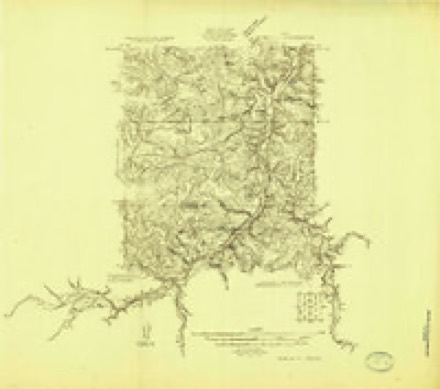
- 1926 USGS Segovia 2-c quadrangle1:48000
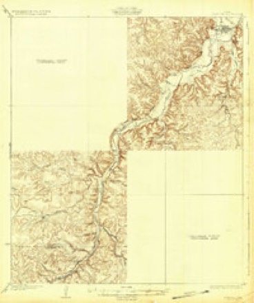
- 1932 USGS Junction quadrangle1:62500, 2 printings
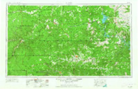
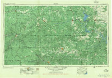
- 1954 USGS Llano quadrangle1:250000, 2 printings
- 1955 USGS Llano quadrangle1:250000
- 1956 USGS Llano quadrangle1:250000
- 1974 USGS Telegraph quadrangle1:24000
- 1985 USGS Kerrville quadrangle1:100000, 2 printings
Fires near this place
16 since 2005Regional context, not property-specific evidence. The federal wildfire occurrence database lists 16 fires within 5 miles of Telegraph between 2005 and 2018, burning about 10,840 acres in total. 1 started naturally. None was recorded as arson. Distance is straight-line from the map coordinates, so a fire counted here may appear on a neighbouring settlement's page as well.
| Reported cause | Fires |
|---|---|
| Missing data/not specified/undetermined | 6 |
| Equipment and vehicle use | 5 |
| Debris and open burning | 4 |
| Natural | 1 |
The most recent of them, most recent first, with the day each was reported and the service that recorded it.
| Date | Cause | Size | Reported by | Name on the report |
|---|---|---|---|---|
| 26 September 2015 | Missing data/not specified/undetermined | 1.0 acres | Texas A & M Forest Service | 2015-96 |
| 23 August 2015 | Equipment and vehicle use | 1.0 acres | Texas A & M Forest Service | 2015-80 |
| 2 August 2016 | Debris and open burning | 804 acres | Texas A & M Forest Service | KC 1121 |
| 3 July 2005 | Debris and open burning | 3.0 acres | Texas A & M Forest Service | not named |
| 22 July 2018 | Missing data/not specified/undetermined | 20 acres | Texas A & M Forest Service | 201877 |
| 9 June 2011 | Equipment and vehicle use | 1.0 acres | Texas A & M Forest Service | 2011-63 |
| 8 June 2011 | Missing data/not specified/undetermined | 30 acres | Texas A & M Forest Service | 2011-61 |
| 26 June 2010 | Debris and open burning | 1.0 acres | Texas A & M Forest Service | BRUSH 377 N |
Storms near this place
20 since 1998Regional context, not property-specific evidence. The National Weather Service names Telegraph in 20 storm reports between 1998 and 2020: 13 hail, 5 flash flood, 2 thunderstorm wind. The reports record 4 deaths and 3 injuries. Each account below is quoted exactly as the forecast office filed it, from the NOAA Storm Events Database, and each date opens the federal record of that event.
| When | Event | Place named | Harm | What the report says |
|---|---|---|---|---|
| October 2018 | Flash Flood | Telegraph | 4 killed, 3 hurt, $9,000,000 | Some rural residents were trapped in their homes by a major flash flood on the S. Llano River and Cedar Creek, in some cases requiring them to be rescued. Others awoke to find water in their homes and were able to evacuate themselves.||The Above and Beyond RV Resort, located adjacent to the South Llano River, was completely flooded, washing RVs and motor vehicles down stream, trapping people who sought refuge in trees in the park, and carrying some down the river. First responders who arrived at the scene before daylight, heard people, who they were unable to see in trees and on top of RVs, calling for help. They threw life preservers to the victims in the water. ||Miraculously, a woman who was staying at the RV park was carried about 23 river miles downstream before being rescued near Yates Crossing. She was slightly injured. At least two others were injured. ||Old Cedar Creek flows into the South Llano River just a few hundred yards above the park. In the early hours of Monday morning, the normally small creek came expanded to 300 yards in size and poured volumes of water into the S. Llano. This water seemed to have arrived just prior to the wall of water from the South Llano. Rescue workers said they could hear the sound of a roar with a wall of water coming down the river. ||Authorities have reported that 40-45 people were evacuated and 19 people were rescued by helicopter or swift water rescue boats. There were three men and one woman who drowned. Some of these victims did all they could to help others evacuate the RV Park.||Cost of road damage was estimated at 9 million dollars. Damage to property was unknown. |
| October 2002 | Flash Flood | Telegraph | $5,000 | The South Llano River flooded the South Llano State Park and flowed over Highway 377 for almost a day and a half. The bulk of the water came from heavy rains that fell on the upper end of the South Llano River in Northern Edwards County. There were several waves of heavy rains over southern Kimble County that produced several rises on the river as well and kept the river elevated for a long period of time. |
| March 2020 | Thunderstorm Wind | Telegraph | - | The public reported several live oak trees with trunks snapped or uprooted. |
| October 2018 | Flash Flood | Telegraph | - | Law enforcement reported several roads closed in Kimble County due to flooded low water crossings, including U.S. Highway 377 from the county line to Junction, Ranch Road 385 from London to Harper, Ranch Road 479, and FM 2169. |
| May 2016 | Hail | Telegraph | - | The public reported 2 inch hail at the intersection of U.S. Highway 377 and Fox Hollow Road. |
| June 2013 | Hail | Telegraph | - | Golf ball size hail was reported just north of the Kimble and Edwards County Line on the 700 Springs Ranch. |
| August 2013 | Thunderstorm Wind | Telegraph | - | A trained spotter reported a few 12 to 15 foot oak trees were uprooted by the strong thunderstorm winds. Numerous large limbs were also reported down. |
| April 2009 | Hail | Telegraph | - | The golfball size hail lasted for 10 minutes. |
| September 2009 | Hail | Telegraph | - | A rainfall observer located 7 miles east of Telegraph provided this report. |
| May 2007 | Flash Flood | Telegraph | - | Kimble County reported water was over Highway 377 south of Junction along the South Llano river and they reported that Department of Transportion closed the highway. |
| October 2007 | Hail | Telegraph | - | A large amount of penny size hail 6 inches deep in places was reported. |
| September 1998 | Flash Flood | Telegraph | - | Telegraph Canyon Draw in Telegraph reported out of its banks. |
| June 2014 | Hail | Telegraph | - | no account filed |
| June 2014 | Hail | Telegraph | - | no account filed |
| April 2006 | Hail | Telegraph | - | no account filed |
| April 2006 | Hail | Telegraph | - | no account filed |
| June 2005 | Hail | Telegraph | - | no account filed |
| April 2001 | Hail | Telegraph | - | no account filed |
| April 2001 | Hail | Telegraph | - | no account filed |
| February 1998 | Hail | Telegraph | - | no account filed |
Nearest settlements
The eight closest, with where each one stands in the county. Distances are straight-line, computed from the Geographic Names Information System coordinates.
| Map | Place | Distance | Sheets |
|---|---|---|---|
| Wilson Place | 10.9 miles | 12 | |
| Buck Hollow | 12.8 miles | 12 | |
| Junction | 13.2 miles | 9 | |
| Roosevelt | 13.8 miles | 12 | |
| Segovia | 14.0 miles | 7 | |
| Cleo | 19.1 miles | 8 | |
| Noxville | 23.7 miles | 11 | |
| Yates | 24.5 miles | 8 |
Elsewhere
Matched on this settlement's Geographic Names Information System number rather than its name, so it cannot be a different place of the same name in another state.
| Wikipedia article on Telegraph | An encyclopaedic summary. Its text is share-alike, so it is linked here rather than copied. |
| Wikidata item Q7696214 | The structured record the population and elevation above come from. Public domain (CC0). |
Provenance
This settlement is recorded in the Geographic Names Information System as feature 1379144. The sheet list is computed by point-in-boundary test against the United States Geological Survey's historical topographic inventory. Both are works of the United States government and carry no copyright under 17 U.S.C. 105.
Wildfire. Short, Karen C. 2022. Spatial wildfire occurrence data for the United States, 1992-2020 [FPA_FOD_20221014]. 6th Edition. Fort Collins, CO: Forest Service Research Data Archive. https://doi.org/10.2737/RDS-2013-0009.6 Collected with United States Government funding and usable without additional permissions or fees.
Storms. NOAA National Centers for Environmental Information, Storm Events Database https://www.ncei.noaa.gov/stormevents/ A work of the United States government, no copyright under 17 U.S.C. 105. Narratives are quoted verbatim from the National Weather Service report and are not edited or summarised.