 Block
BlockKing County, Texas
17 topographic sheets cover 6 settlements here.
Research this county
What the record shows
- 47 topographic sheet readings cover the county's settlements.
- The Geographic Names Information System records 6 populated places in this county; 6 are covered by at least one topographic sheet.
Photographs from libraries nationwide
1 shownSelected from the Digital Public Library of America's 1 image records catalogued for this county. Every one shown here carries a public-domain status or a licence that permits reuse on a site that carries advertising; non-commercial, share-alike and restricted images are excluded. The selection is spread across the county's towns (at most eight per town), so no single institution's bulk upload crowds out the rest. Each opens the holding library's record, and the complete set at the Digital Public Library of America is one click away.
The county from the air
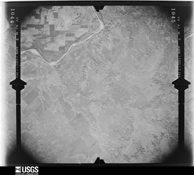
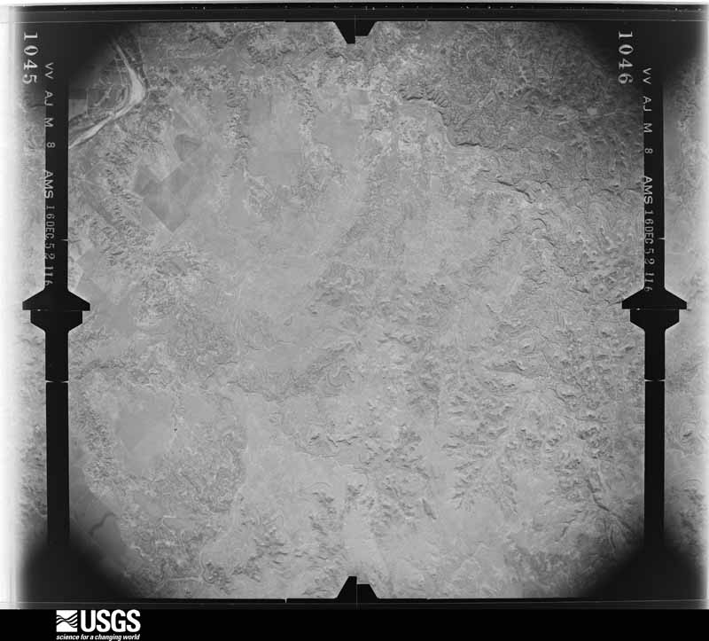
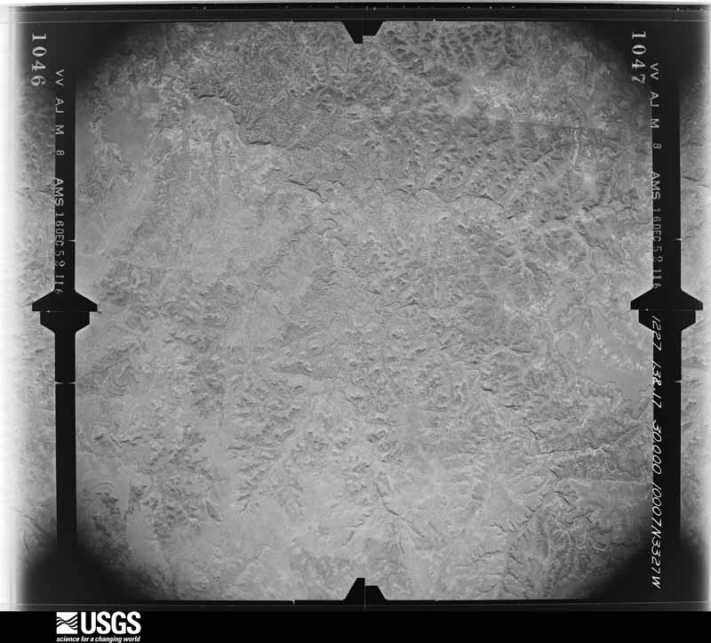
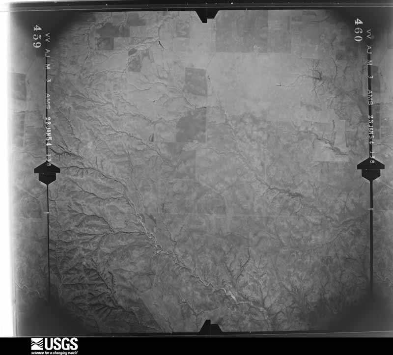
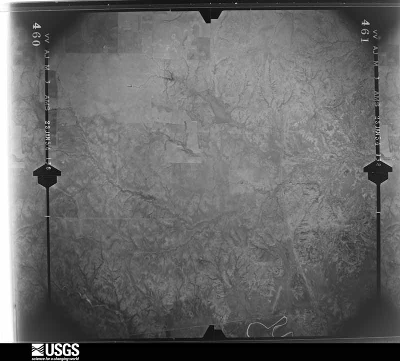
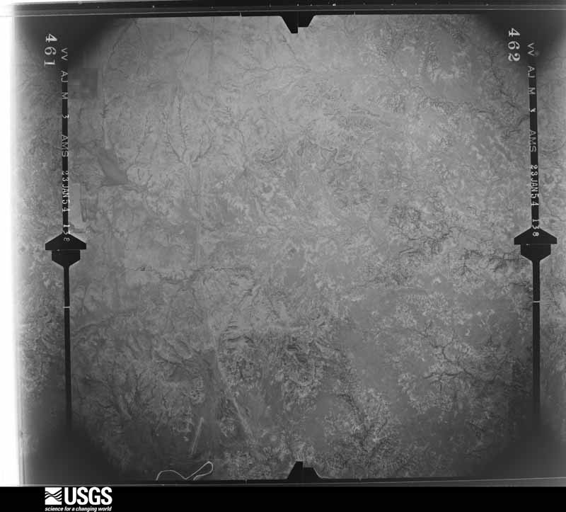
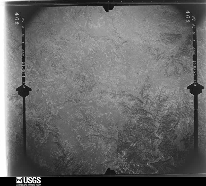
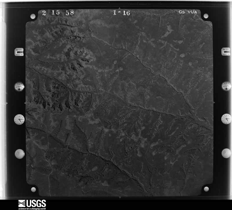
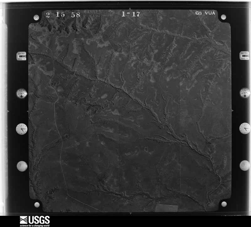
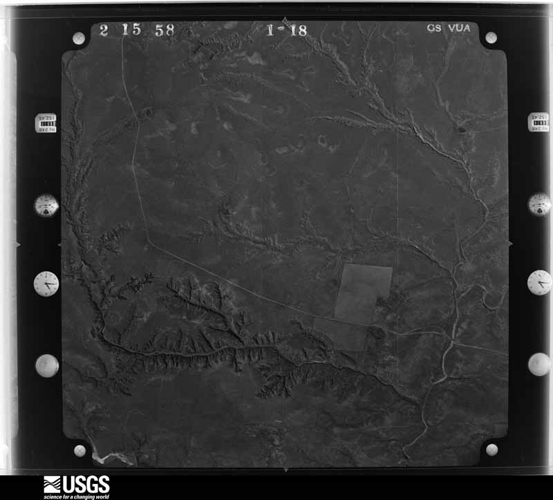
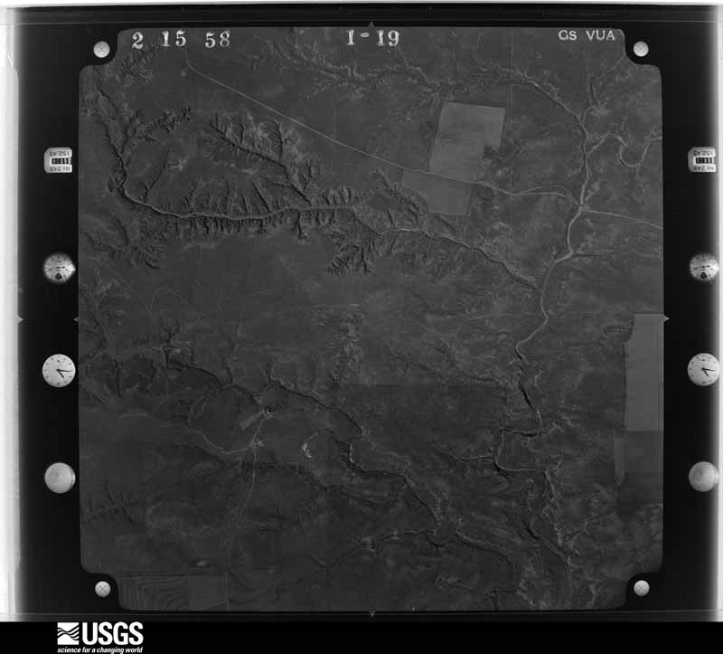
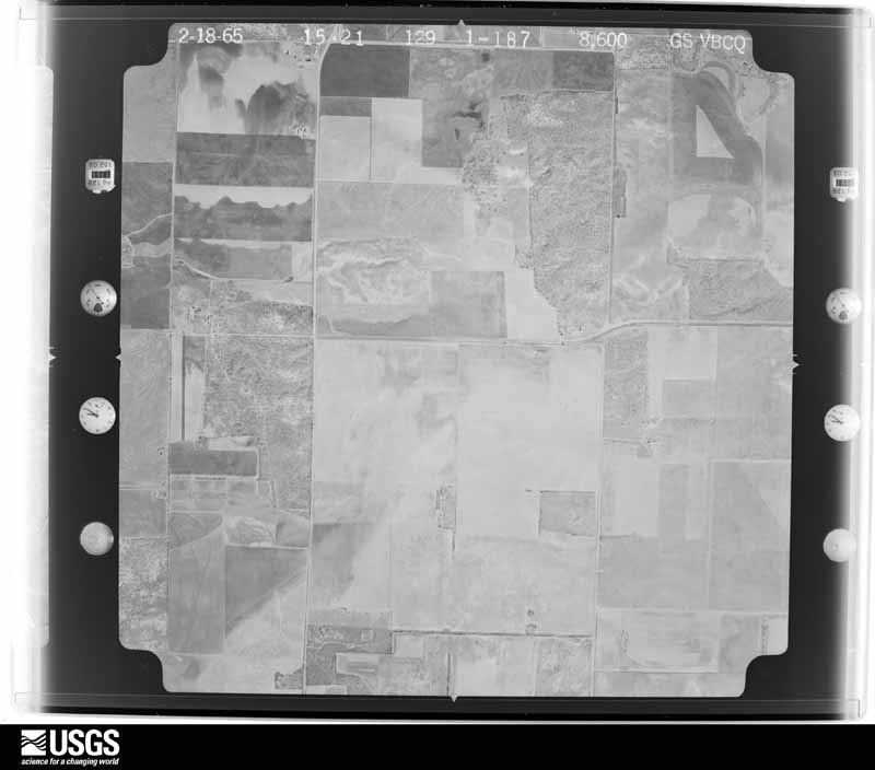
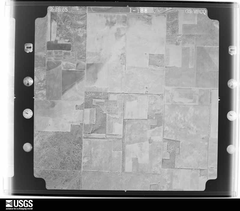
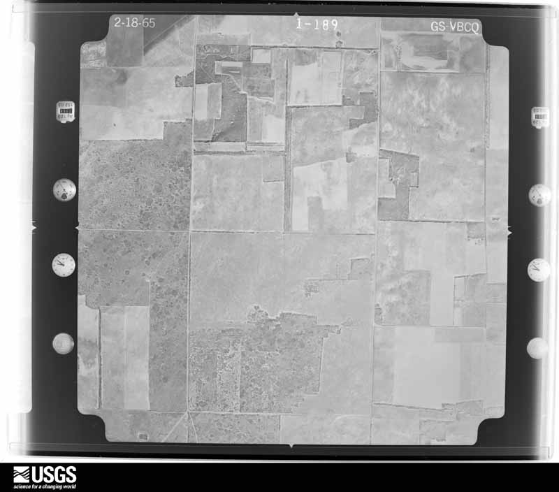
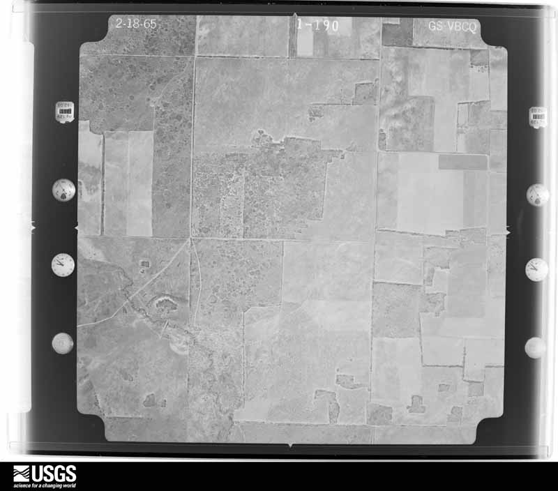
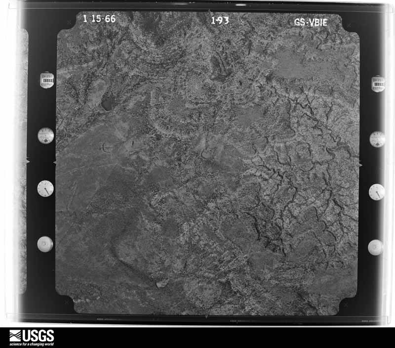
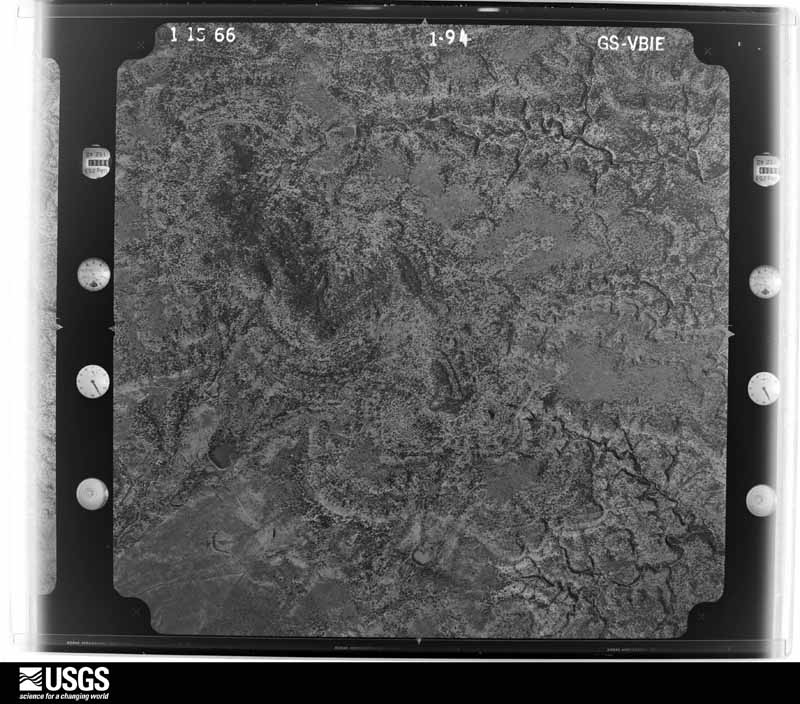
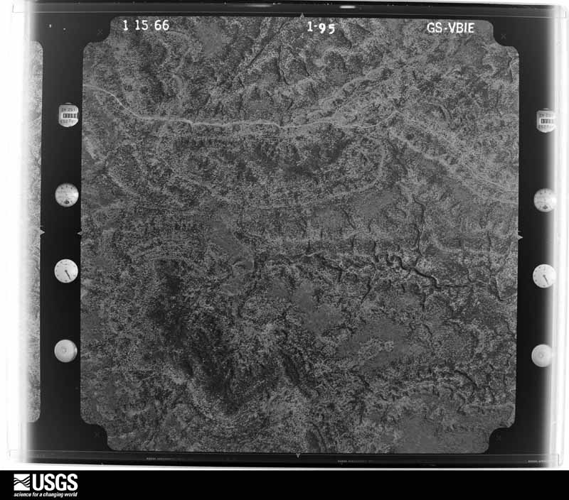
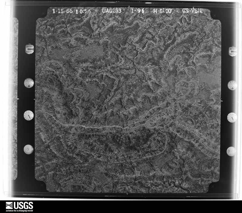
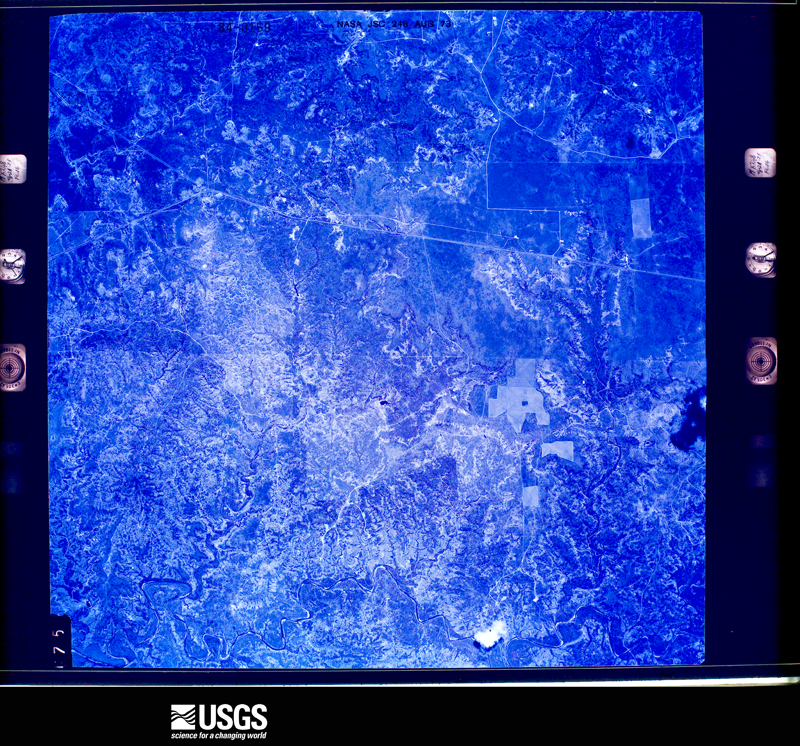
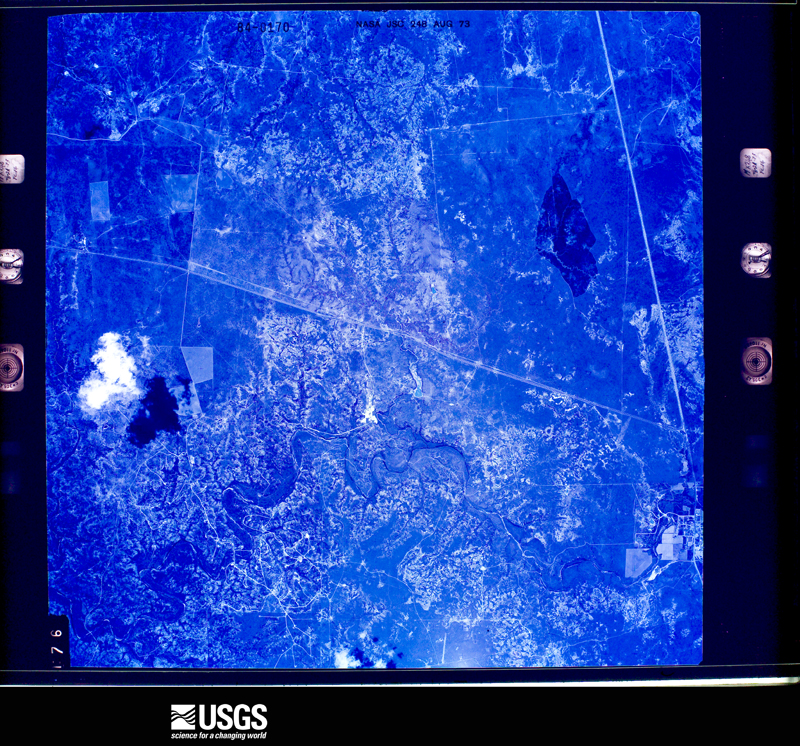
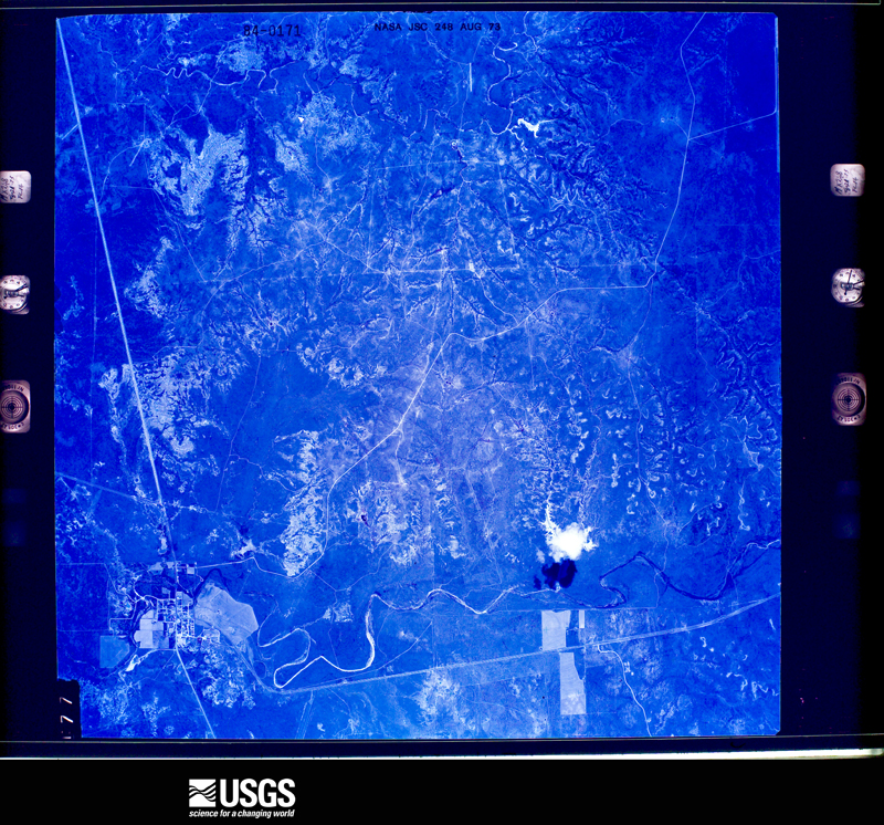
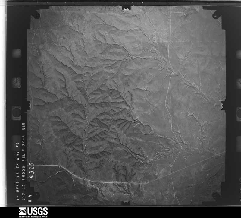
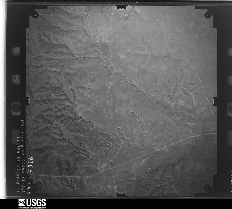
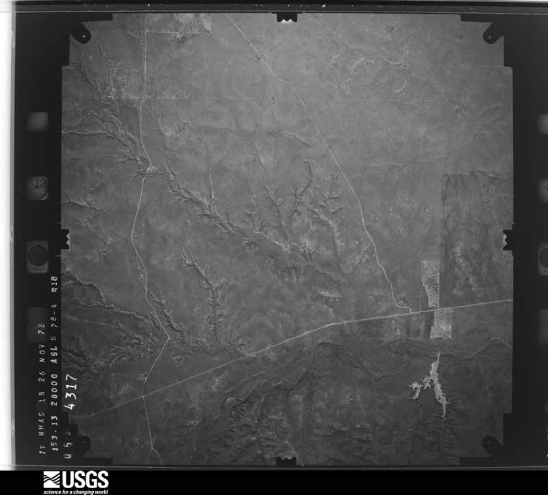
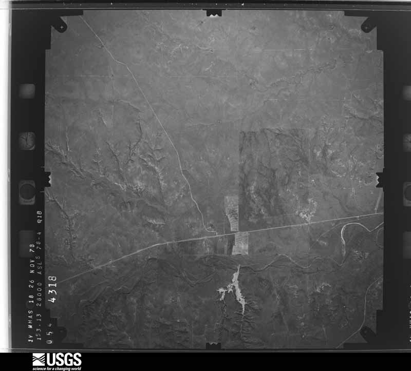
31 shownFlown by the U.S. Geological Survey between 1937 and 1989, the Aerial Photo Single Frames collection is the definitive mid-century view of the land: fields, roads and rivers as the camera saw them. The Survey holds 1,159 frames inside the rectangle that bounds this county; the 31 frames below were taken over the county itself, chosen across the decades of flights (at most four a year from that rectangle), so one flight cannot crowd out the rest. The full set is free to browse and download at EarthExplorer under the dataset Aerial Photo Single Frames.

Weather records
9 stations, 4 gagesThe thermometers that kept this county's weather, and the gages that measured the flow of its streams, as the federal records hold them. The extremes below are measured values from those records, not estimates.
- GUTHRIE 1947 to 2026, hottest 48.3 C, coldest -23.3 C
- BATEMAN RCH 1971 to 1973
- DUMONT 1971 to 2026
- PADUCAH 15S 1971 to 2026, hottest 46.1 C, coldest -20.6 C
- ROSS RCH 1971 to 1979
- SOUTH CAMP (6666) 1971 to 2012
- OLD 8 CAMP 6666 1973 to 2000
- BATEMAN RCH 2 1974 to 1988
- BENJAMIN 15 W 1980 to 2009
- Salt Croton Ck nr Aspermont, TX 1956 to 1977
- S Wichita Rv at Ross Rh nr Benjamin, TX 1970 to 1979
- S Wichita Rv nr Guthrie, TX 1970 to 1976
- S Wichita Rv bl Low Flow Dam nr Guthrie, TX 1985 to 2011
The 1950 census, district by district
5 districtsWho lived here in 1950, one enumeration district at a time, as the Census Bureau described each district. Each row opens its official National Archives result, with Population Schedules and ED Maps available there.
Wildfire, 1994 to 2020
28 firesEvery wildfire the federal occurrence database records inside this county: 28 of them, burning about 59,054 acres. 14 started naturally and none was recorded as arson. Each settlement page carries the fires within five miles of it.
| Reported cause | Fires |
|---|---|
| Natural | 14 |
| Missing data/not specified/undetermined | 7 |
| Equipment and vehicle use | 6 |
| Power generation/transmission/distribution | 1 |
The five largest, by the area the report gives. None of them was recorded as arson.
| Date | Cause | Size | Reported by | Name on the report |
|---|---|---|---|---|
| 14 March 2008 | Missing data/not specified/undetermined | 33,037 acres | Texas A & M Forest Service | EIGHTY-TWO FIRE |
| 3 April 1994 | Missing data/not specified/undetermined | 15,312 acres | Texas A & M Forest Service | KING COUNTY FIRE |
| 15 July 2006 | Natural | 4,250 acres | Texas A & M Forest Service | SPIKE BOX COMPLEX |
| 9 June 2008 | Natural | 1,500 acres | Texas A & M Forest Service | not named |
| 16 June 2008 | Natural | 1,000 acres | Texas A & M Forest Service | not named |
| 8 August 2016 | Natural | 1,000 acres | Texas A & M Forest Service | 6666 KING CO. MUTUAL AID |
| 12 September 2017 | Missing data/not specified/undetermined | 760 acres | Texas A & M Forest Service | PANTHER |
| 4 August 2016 | Equipment and vehicle use | 572 acres | Texas A & M Forest Service | LOW RANCE |
Every settlement page carries the fires within five miles of it - see the settlement index below.
Storms, 1955 to 2026
60 of 213 shownThe NOAA Storm Events Database holds 213 reports for this county, causing no deaths, no injuries and about $851,500 in recorded property damage. Each settlement page carries the reports that name it.
| Kind of event | Reports |
|---|---|
| Hail | 123 |
| Thunderstorm Wind | 62 |
| Tornado | 23 |
| Flash Flood | 3 |
| Funnel Cloud | 1 |
| Heavy Rain | 1 |
The most serious of them, by death, then injury, then recorded damage. The accounts are quoted exactly as the forecast office filed them.
| When | Event | Place named | Harm | What the report says |
|---|---|---|---|---|
| May 2012 | Thunderstorm Wind | Guthrie | $350,000 | Multiple storm chasers reported scattered to widespread wind damage in the city of Guthrie from intense rear flank downdraft winds estimated near 90 mph. Several roofs in the city suffered various degrees of damage, with at least one roof partially blown off. A large equipment garage had several bay doors blown out. The intense winds developed shortly after large hail up to baseball size ceased falling. Many large tree limbs were broken in and around the city. Conservative property damage estimates may exceed $350 thousand. |
| June 2008 | Thunderstorm Wind | Guthrie | $100,000 | A local utility company reported the loss of numerous wooden utility poles as severe thunderstorms produced damaging wind gusts along swath over southeastern King County. More than fifty poles were destroyed across King and neighboring Stonewall County, but the exact number damaged in King County is unknown. In addition, a National Weather Service cooperative observer sustained damage to his home and a large metal storage barn near U.S. Highway 82 and Texas Highways 114 and 222 in eastern King County. |
| July 2004 | Hail | Grow | $50,000 | Baseball size hail was reported by the FD. The hail broke windows and damaged roofs. |
| April 2015 | Hail | Finney | $30,000 | A COOP observer reported golf ball to baseball size hail covering the ground. Several vehicles were damaged and lost windows or windshields. |
| April 2000 | Hail | Grow | $30,000 | no account filed |
| April 2000 | Hail | Dumont | $30,000 | no account filed |
| June 2011 | Thunderstorm Wind | Dumont | $25,000 | A trained spotter reported estimated wind gusts to 70 mph as well as wind damage |in Dumont. The spotter reported damage to trees and roof damage to a mobile home. There was also substantial damage to a barn. Small hail also accompanied the severe winds. |
| July 2004 | Hail | Grow | $25,000 | Softball size hail was reported by the FD. |
| May 2003 | Hail | Dumont | $25,000 | An NWS cooperative observer reported baseball size hail. |
| May 1989 | Tornado (F2) | not stated | $25,000 | no account filed |
| April 2015 | Thunderstorm Wind | Guthrie 6666 Arpt | $20,000 | A roof was blown off a well-constructed barn at the Four Sixes Ranch. |
| May 2012 | Hail | Guthrie | $20,000 | Storm chasers in Guthrie documented large hail that grew to baseball size over the course of about two minutes as a mesocyclone tracked just north and east of the city. Although some of this hail did damage building roofs and vehicles, the majority of the damage in the city was caused by destructive straight-line winds that developed shortly after the hail ended. |
| May 1996 | Hail | Guthrie | $20,000 | no account filed |
| May 2006 | Thunderstorm Wind | Guthrie | $15,000 | Severe thunderstorm winds destroyed a horse barn near Guthrie. No additional structural damage was reported. |
| September 2001 | Thunderstorm Wind | Grow | $15,000 | Strong thunderstorm wind associated with the storm that hit Paducah earlier in the evening snapped power poles, blew down power lines and trees, and damaged several large barns and storage buildings near Grow. |
| April 2000 | Hail | Grow | $15,000 | no account filed |
| July 2004 | Thunderstorm Wind | Grow | $10,000 | Strong thunderstorm wind snapped power poles. |
| September 2001 | Thunderstorm Wind | Guthrie | $10,000 | Several barns were damaged one mile south of the Highway 83 and Farm-to-Market Road 193 intersection as indicated by an NWS storm survey. |
| May 2009 | Hail | Guthrie | $5,000 | Motorists reported that hail was sufficiently large to lightly damage a vehicle along U.S. Highway 82 east-southeast of Guthrie. The exact hail size is unknown, therefore a minimal severe size estimate is assigned here. |
| July 2009 | Hail | Guthrie | $5,000 | The public reported that huge hail fell on the Masterson Ranch northeast of Guthrie during the very early morning hours on the 19th. Only minor damages were reported, and the event time is estimated based on radar data. |
| May 2000 | Thunderstorm Wind | Guthrie | $5,000 | Strong thunderstorm wind blew out windows, downed large tree limbs, blew over a trailer, and blew down a sign. |
| May 1996 | Thunderstorm Wind | Guthrie | $5,000 | no account filed |
| April 1994 | Thunderstorm Wind | Guthrie | $5,000 | no account filed |
| April 2003 | Hail | Guthrie | $3,000 | Golfball size hail damaged a vehicle. |
| April 1957 | Tornado (F2) | not stated | $2,500 | no account filed |
| April 2000 | Thunderstorm Wind | Guthrie | $2,000 | Thunderstorm wind blew down two power poles. |
| April 2000 | Hail | Dumont | $2,000 | no account filed |
| September 2010 | Thunderstorm Wind | Guthrie | $1,000 | The public reported that thunderstorm winds blew over and destroyed a large chimney at a ranch house along U.S. Highway 83 south of Guthrie. |
| September 2007 | Thunderstorm Wind | Guthrie | $1,000 | A National Weather Service cooperative observer reported that severe thunderstorm wind gusts up to 60 mph damaged tents and other lightweight objects in Guthrie. A National Weather Service survey team found large tree branches up to 5 inches in diameter that were blown down by the winds just west of the city. No structural damage or injuries were reported. |
| March 2026 | Hail | Grow | - | A storm chaser reported hail ranging in size from quarters to golf balls south of the Cottle/King County line along US Highway 83. |
| March 2026 | Thunderstorm Wind | Guthrie 6666 Arpt | - | An Automated Weather Observing Station near Guthrie measured a wind gust of 59 mph. |
| March 2026 | Thunderstorm Wind | Guthrie | - | A Texas Tech University West Texas mesonet site near Guthrie measured a wind gust of 58 mph. |
| April 2026 | Thunderstorm Wind | Guthrie | - | A Texas Tech University West Texas mesonet site near Guthrie measured a severe wind gust of 64 mph. |
| April 2026 | Thunderstorm Wind | Guthrie | - | A Texas Tech University West Texas mesonet site near Guthrie measured severe wind gusts from 1736 CST through 1740 CST. A peak wind gust of 72 mph was measured at 1738 CST. |
| May 2025 | Thunderstorm Wind | Guthrie 6666 Arpt | - | Several storm chasers reported a swath of broken power poles along US Highway 83 north of Guthrie following the passage of a thunderstorm. |
| May 2025 | Thunderstorm Wind | Guthrie | - | A Texas Tech University West Texas mesonet site near Guthrie measured severe wind gusts from 1952 CST through 1959 CST. A peak wind gust of 67 mph was measured at 1959 CST. |
| April 2025 | Hail | Guthrie | - | Several reports were received of a swath of hail across a portion of King County from south of Guthrie to east of Guthrie. Reported hail ranged in size from golf ball to DVD-size. No damage was reported. |
| April 2025 | Thunderstorm Wind | Guthrie | - | A Texas Tech University West Texas mesonet site near Guthrie measured severe wind gusts from 0112 CST through 0115 CST. A peak wind gust of 62 mph was measured at 0112 CST. |
| April 2024 | Thunderstorm Wind | Guthrie | - | A Texas Tech University West Texas mesonet site near Guthrie measured severe wind gusts from 2345 CST through 2346 CST. A peak wind gust of 65 mph was measured at 2346 CST. |
| August 2024 | Thunderstorm Wind | Guthrie | - | A Texas Tech University West Texas mesonet site near Guthrie measured severe wind gusts from 1413 CST through 1414 CST. A peak wind gust of 63 mph was measured at 1413 CST. |
| May 2024 | Hail | Guthrie | - | A storm chaser reported quarter size hail south of Guthrie along US Highway 83. |
| June 2023 | Thunderstorm Wind | Guthrie | - | A Texas Tech University West Texas mesonet site near Guthrie measured severe wind gusts from 2017 CST through 2038 CST. A peak wind gust of 67 mph was measured at 2034 CST. |
| February 2023 | Thunderstorm Wind | Guthrie | - | A Texas Tech University West Texas mesonet site near Guthrie measured severe wind gusts from 1922 CST through 1928 CST. A peak wind gust of 77 mph was measured at 1922 CST. |
| July 2023 | Thunderstorm Wind | Guthrie | - | A Texas Tech University West Texas mesonet site near Guthrie measured a wind gust to 59 mph. |
| September 2023 | Thunderstorm Wind | Guthrie 6666 Arpt | - | A Texas Tech University West Texas mesonet site near Guthrie measured a wind gust of 64 mph. |
| April 2022 | Thunderstorm Wind | Guthrie | - | A Texas Tech University West Texas mesonet site near Guthrie measured severe wind gusts at 1707 and 1708 CST. A peak wind gust of 60 mph was measured at 1708 CST. |
| May 2022 | Thunderstorm Wind | Guthrie | - | A Texas Tech University West Texas mesonet site near Guthrie measured a wind gust of 60 mph. |
| May 2022 | Tornado (EFU) | Grow | - | An NWS storm survey revealed no known damage from this tornado which was documented by several storm chasers. The tornado moved over rangeland in northeastern King County before crossing into Foard County. |
| May 2022 | Tornado (EFU) | Grow | - | Numerous storm chasers documented a tornado that began near the intersection of US Highway 83 and Farm to Market Road 1168. The tornado moved roughly east-southeast remaining close to Farm to Market Road 1168 and 3416 for about five miles before turning east and crossing County Road 204. An NWS storm survey revealed no known damage. |
| June 2022 | Thunderstorm Wind | Guthrie | - | A Texas Tech University West Texas mesonet site near Guthrie measured severe wind gusts from 0810 CST through 0828 CST. A peak wind gust of 70 mph was measured at 0818 CST. |
| June 2021 | Thunderstorm Wind | Guthrie | - | A Texas Tech University West Texas mesonet site near Guthrie measured a wind gust to 59 mph. |
| April 2021 | Hail | Grow | - | A NWS cooperative weather observer as well as numerous storm chasers reported hail up to baseball size near Grow and along US Highway 83 to the north and south of Grow. Many windshields and storm chaser vehicles were damaged. |
| October 2021 | Thunderstorm Wind | Guthrie | - | A Texas Tech University West Texas mesonet site near Guthrie measured a wind gust to 60 mph. |
| May 2020 | Thunderstorm Wind | Guthrie 6666 Arpt | - | A Texas Tech University West Texas mesonet site near Guthrie measured severe wind gusts from 1920 CST through 1925 CST. The peak wind gust measured was 66 mph. |
| March 2019 | Thunderstorm Wind | Guthrie 6666 Arpt | - | Measured by a Texas Tech University West Texas mesonet. |
| May 2019 | Hail | Guthrie | - | A storm chaser reported hail up to golf ball size two miles south of Guthrie. |
| March 2017 | Tornado (EFU) | Guthrie 6666 Arpt | - | This tornado developed from a cyclic supercell responsible for the previous tornado in far eastern Dickens County. No damage was reported with this tornado as it remained over open land. |
| May 2017 | Hail | Guthrie | - | Law enforcement in King County and a cooperative weather observer reported hail ranging from quarter size to golf ball size in and around Guthrie. No damage was reported. |
| April 2016 | Hail | Guthrie 6666 Arpt | - | A storm chaser estimated tennis ball size hail north of Guthrie on US Highway 83. Damage was not reported. |
| April 2016 | Hail | Dumont | - | No damage was reported. |
Mines and quarries
17 recordedThe Survey's mineral resources record lists 17 workings inside this county. None of them still produces: all are closed or unrecorded. Each settlement page carries the workings within five miles of it.
| Commodity | Workings |
|---|---|
| Copper | 17 |
The least common of them first, because a county's hundredth gravel pit says nothing its first ten did not.
| Where | Site | Commodity | Status | Recorded |
|---|---|---|---|---|
| Brazos-Wichita Prospect | Copper | Past Producer | 1917, 1918 | |
| Buzzard Peak Prospect | Copper | Past Producer | 1647, 1882, 1945 | |
| Hendrix Ranch-1 | Copper | Occurrence | 1968 | |
| Hendrix Ranch-2 | Copper | Occurrence | 1969 | |
| North Buzzard Peak-1 | Copper | Occurrence | 1891 | |
| North Buzzard Peak-2 | Copper | Occurrence | 1968 | |
| Site 61 | Copper | Occurrence | 1969 | |
| Site 67 | Copper | Occurrence | 1970 | |
| Site 86 | Copper | Occurrence | 1971 | |
| Site A-3 | Copper | Occurrence | 1969 | |
| Site A-4a | Copper | Occurrence | 1968 | |
| Site A-6 | Copper | Occurrence | 1969 | |
| Site B-1 | Copper | Occurrence | 1873 | |
| Site-87 | Copper | Occurrence | 1971 | |
| Sites 55-56 | Copper | Occurrence | 1971 | |
| Sites 80-81 | Copper | Occurrence | 1970 | |
| Sites 82-85 | Copper | Occurrence | 1968 |
Every populated place in the county
6Named settlements recorded in the Geographic Names Information System, each with the topographic sheets covering it. Villages, hamlets and abandoned places alike. Each is shown with the nearest named watercourse or landform and the survey quadrangle it falls on.
Provenance
- Topographic sheets. USGS Historical Topographic Map Collection, county index, measured from the bulk metadata.
- Fire insurance maps. Library of Congress Sanborn collection, faceted to this county.
- Photographs. Each place queried individually against the Library of Congress Prints and Photographs search.
- Wildfire. Short, Karen C. 2022. Spatial wildfire occurrence data for the United States, 1992-2020 [FPA_FOD_20221014]. 6th Edition. Fort Collins, CO: Forest Service Research Data Archive. https://doi.org/10.2737/RDS-2013-0009.6 Collected with United States Government funding and usable without additional permissions or fees.
- Mines and quarries. USGS Mineral Resources Data System (MRDS) https://mrdata.usgs.gov/mrds/ A work of the United States government, no copyright under 17 U.S.C. 105.
- Storms. NOAA National Centers for Environmental Information, Storm Events Database https://www.ncei.noaa.gov/stormevents/ A work of the United States government, no copyright under 17 U.S.C. 105. Narratives are quoted verbatim from the National Weather Service report and are not edited or summarised.