 Block
BlockFrom the record
6 National Register listings published here.
Sources: the National Register database, National Park Service
25 topographic sheets cover 9 settlements here, and 6 properties are on the National Register of Historic Places.
6 National Register listings published here.
Sources: the National Register database, National Park Service
Every property in this county listed on the National Register of Historic Places, with the year it was listed and the federal nomination document.
| Photograph | Property | Type | Listed | Reference |
|---|---|---|---|---|
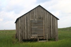 | Dunn Ranch, Novillo Line Camp | site | 1974 | 74000277 |
 | Henrietta M. King High School | building | 1983 | 83003145 |
| Kingsville Downtown Historic District | district | 2018 | 100002845 | |
 | Kleberg County Courthouse | building | 2010 | 10000250 |
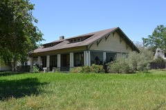 | Nance-Jones House | building | 2006 | 06001064 |
 | John B. Ragland Mercantile Company Building | building | 1993 | 92001820 |
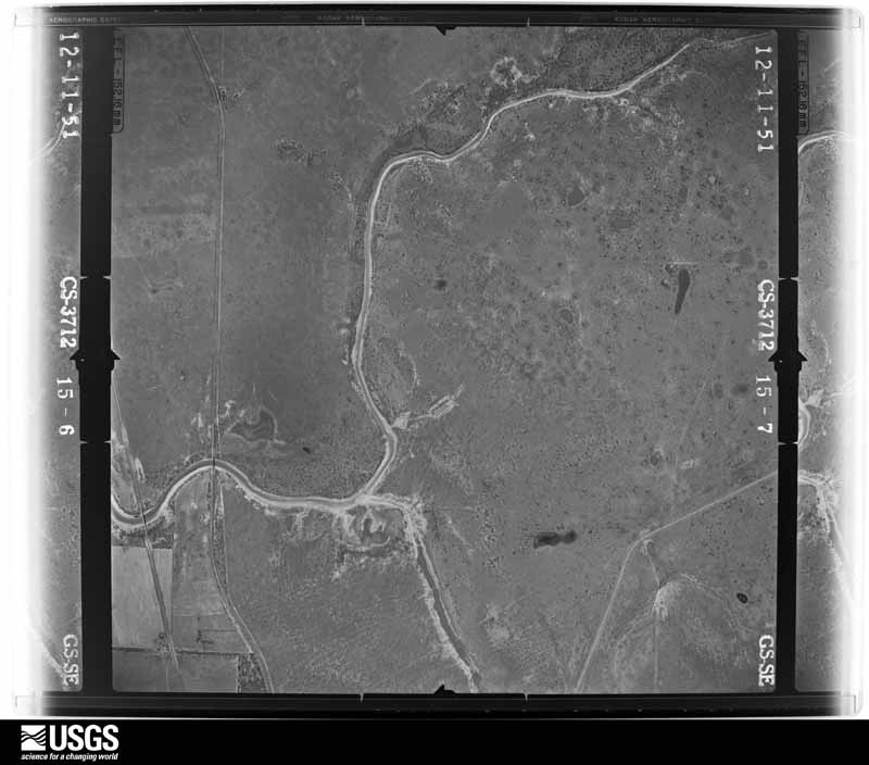
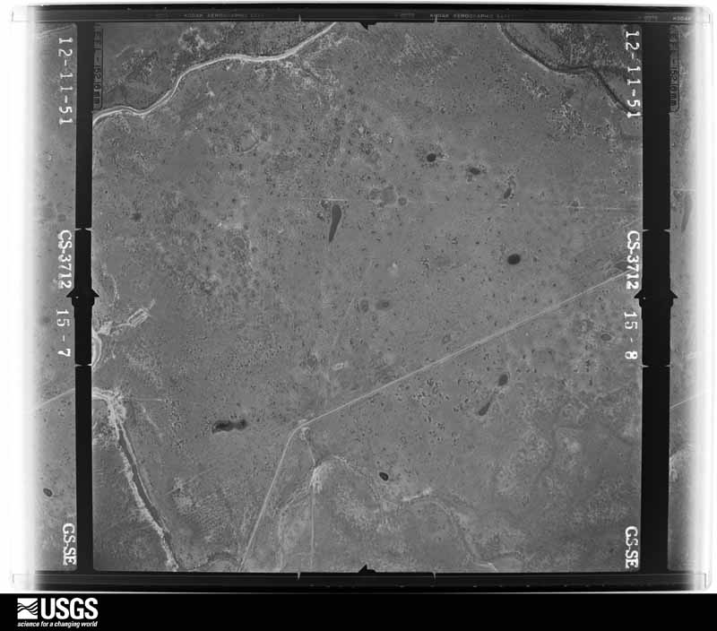
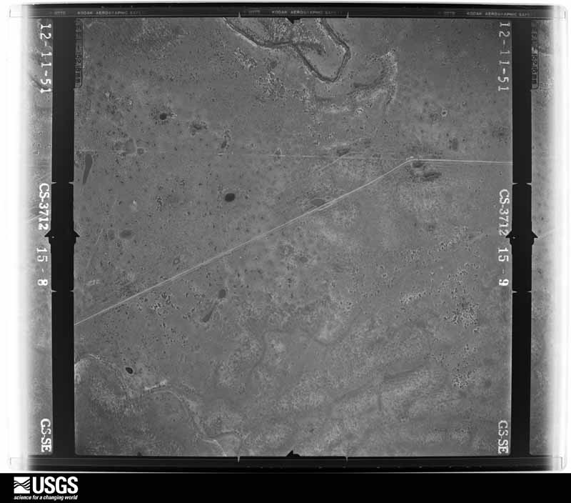
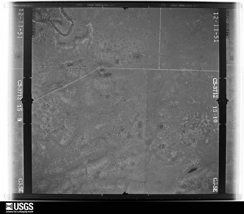
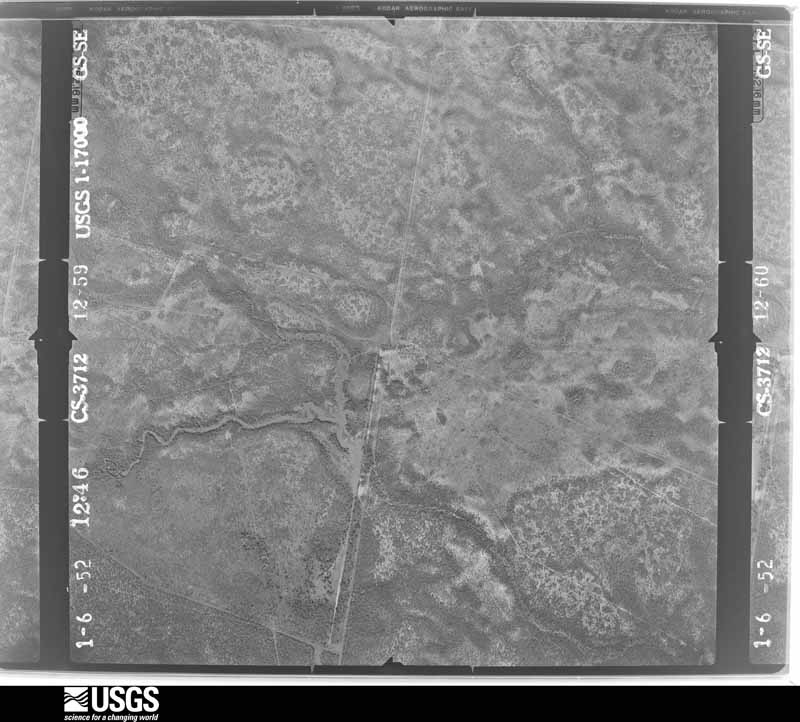
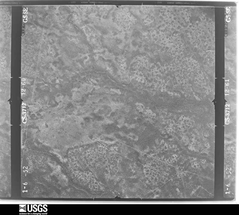
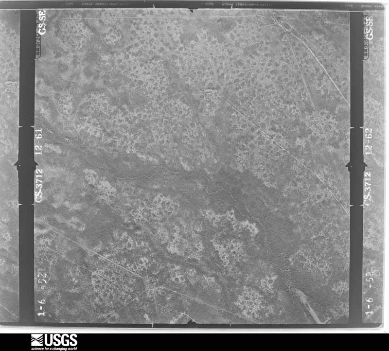
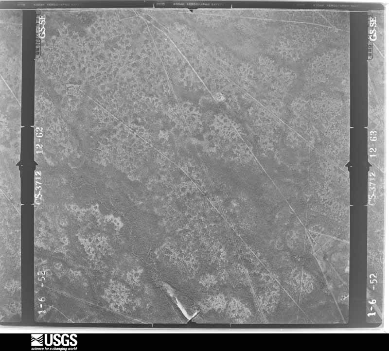
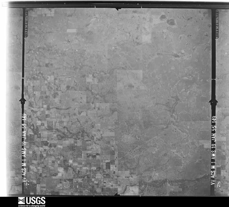
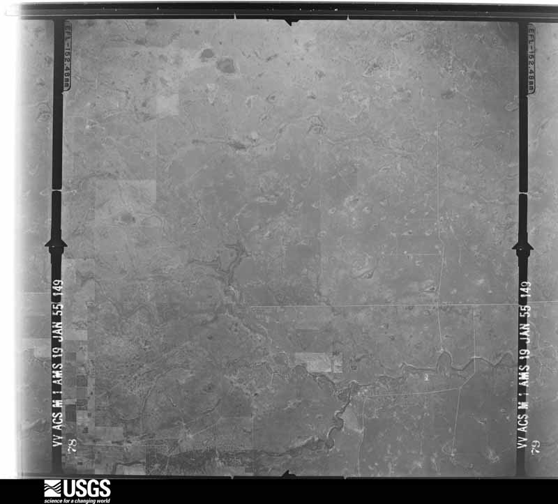
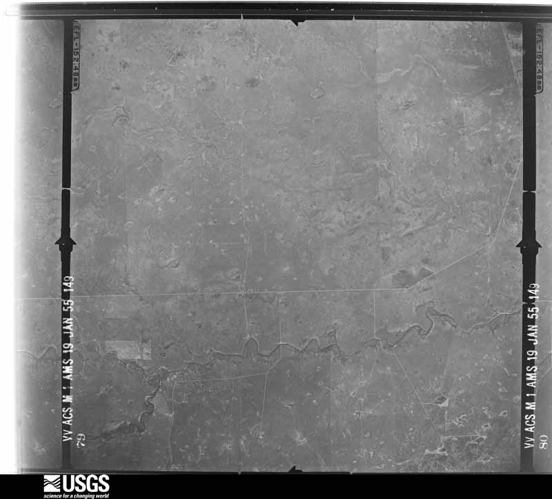
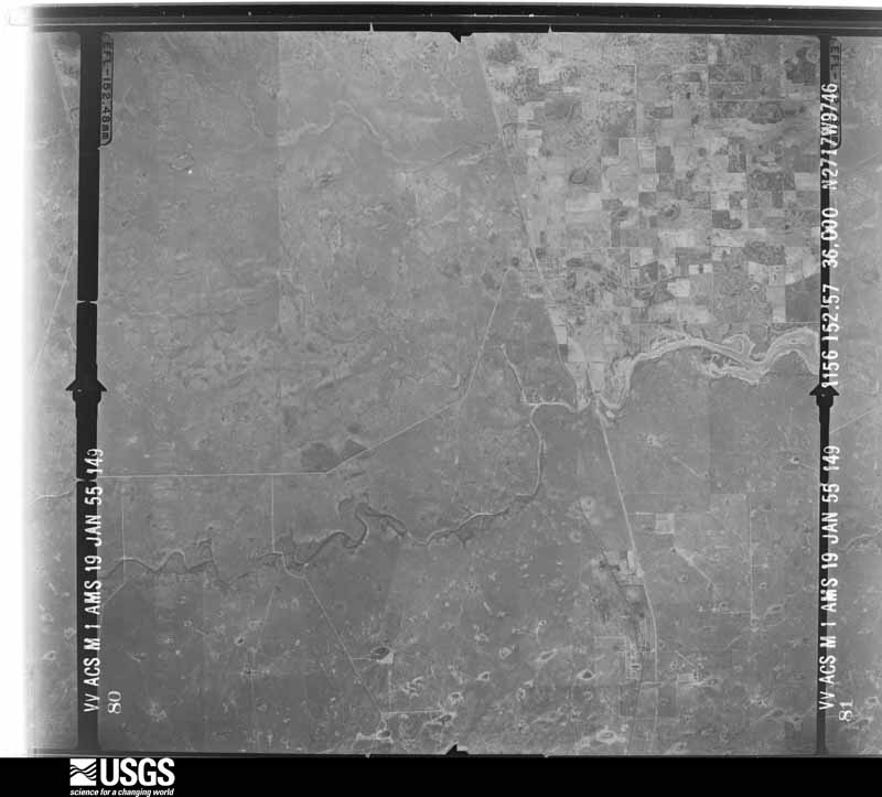
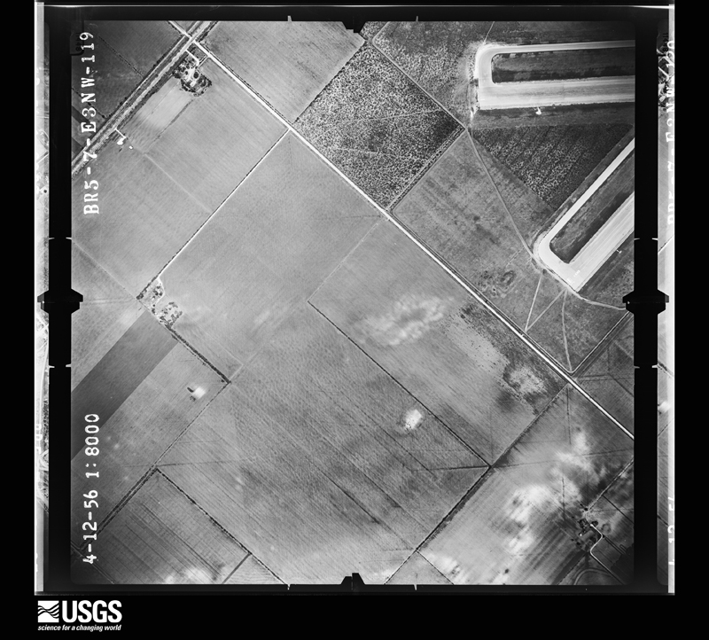
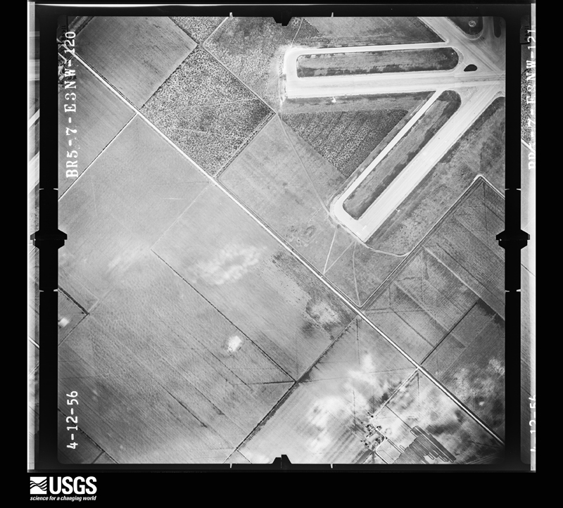
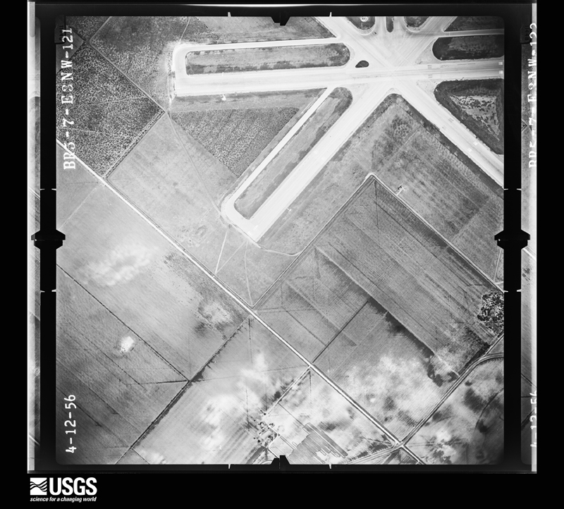
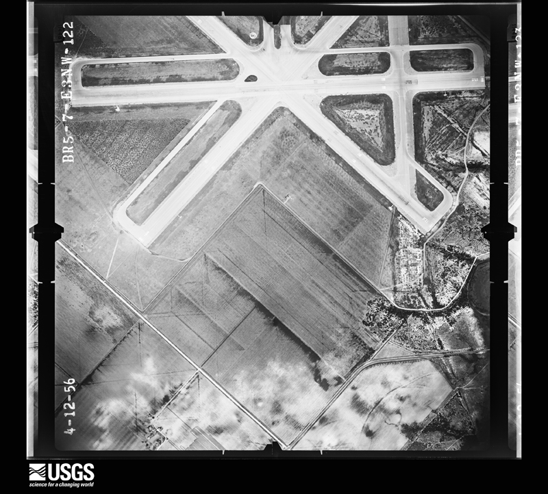
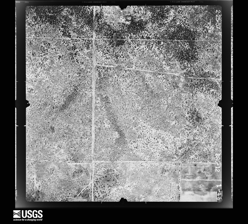
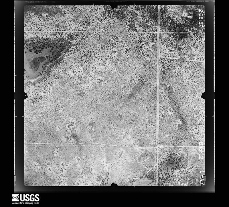
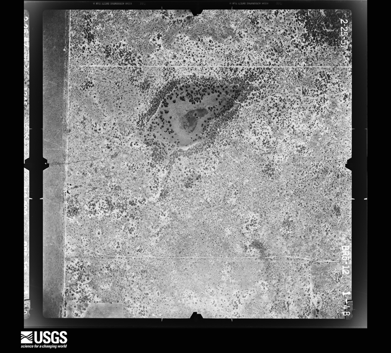
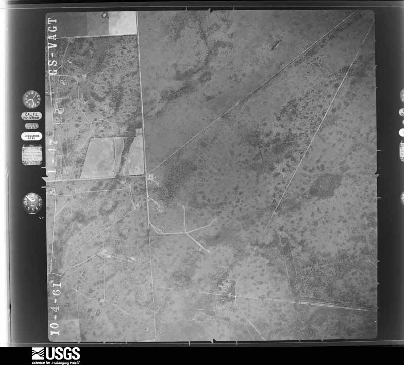
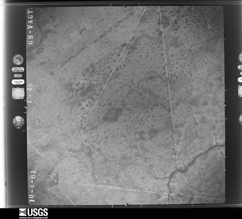
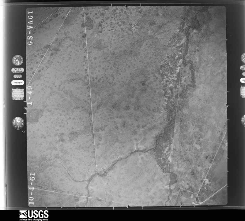
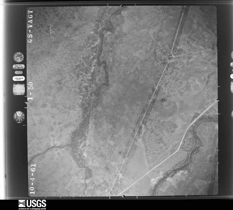
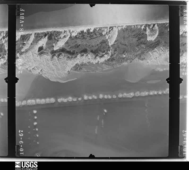
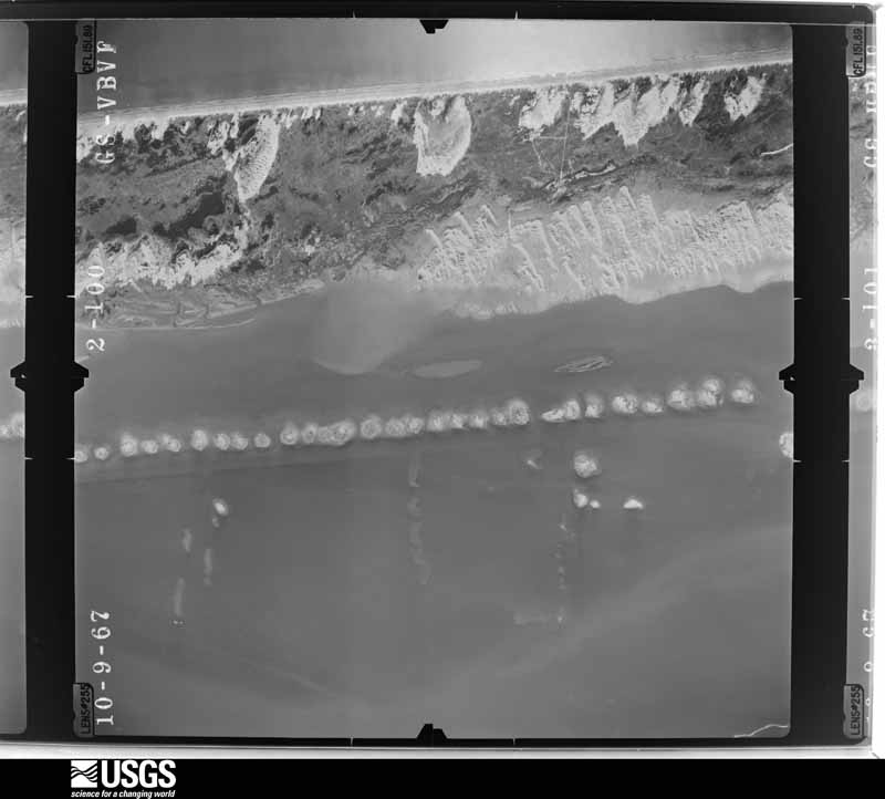
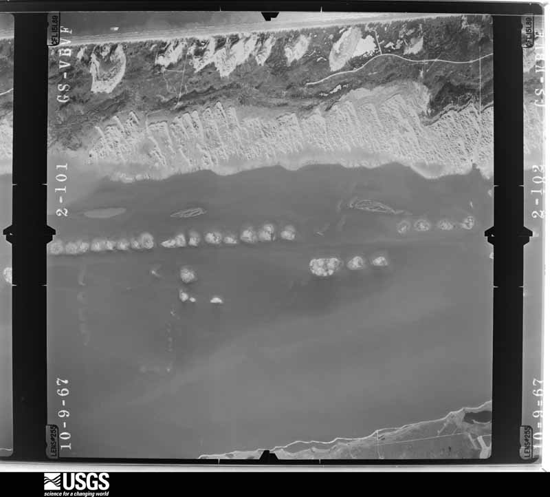
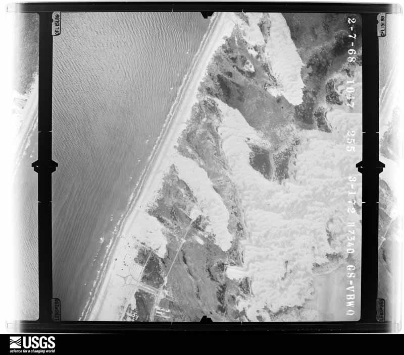
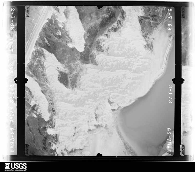
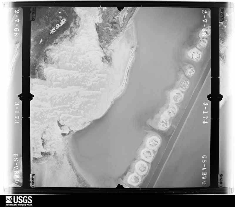
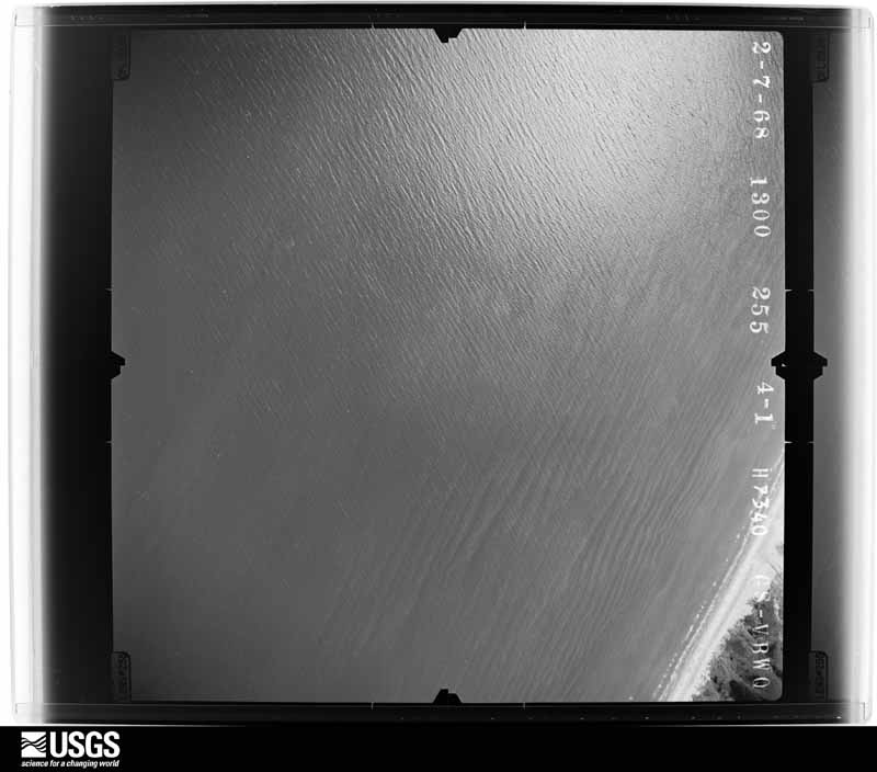
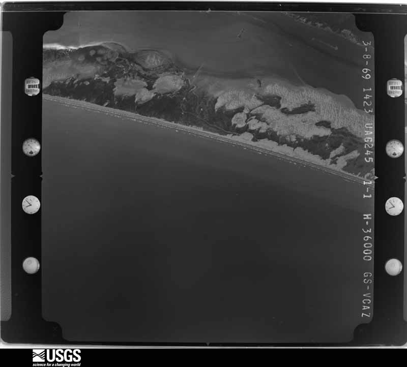
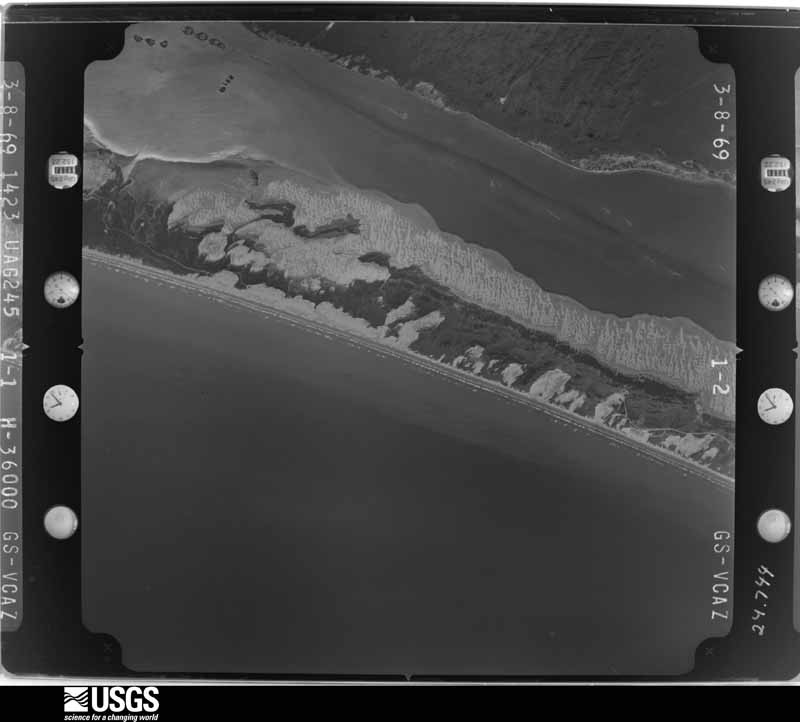
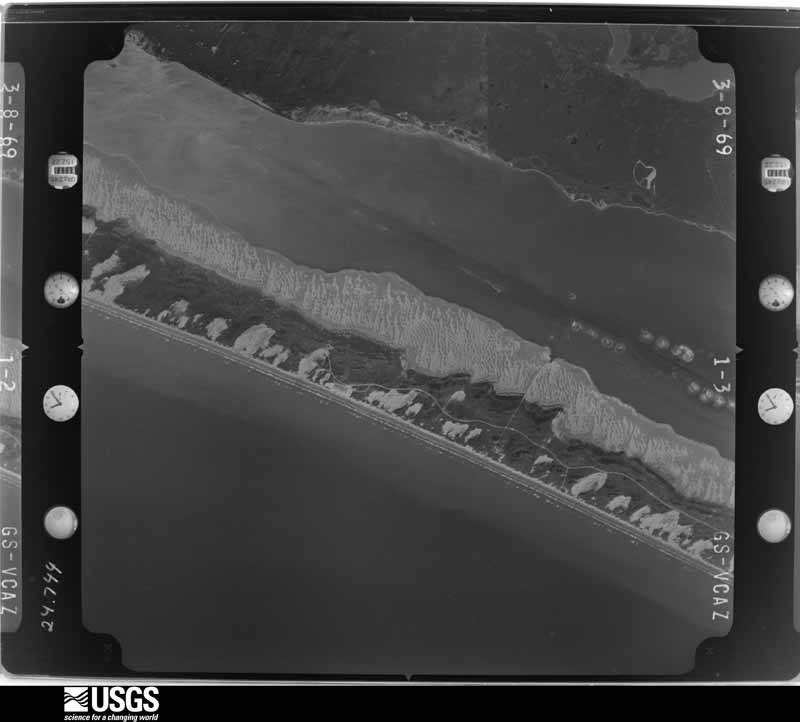
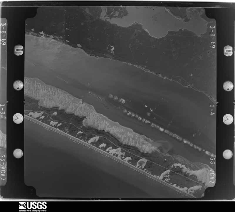
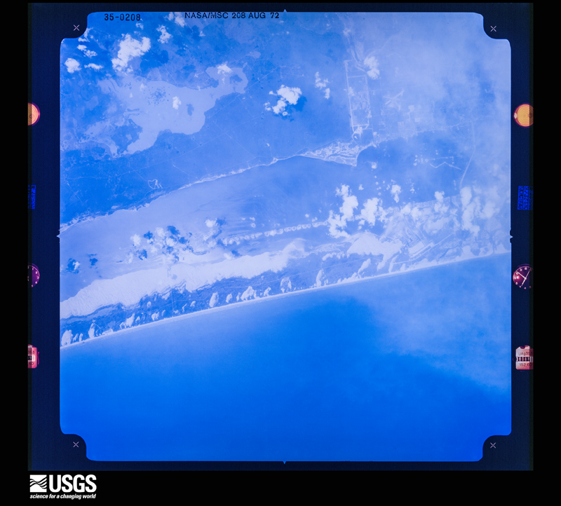
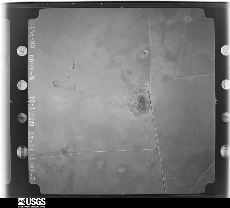
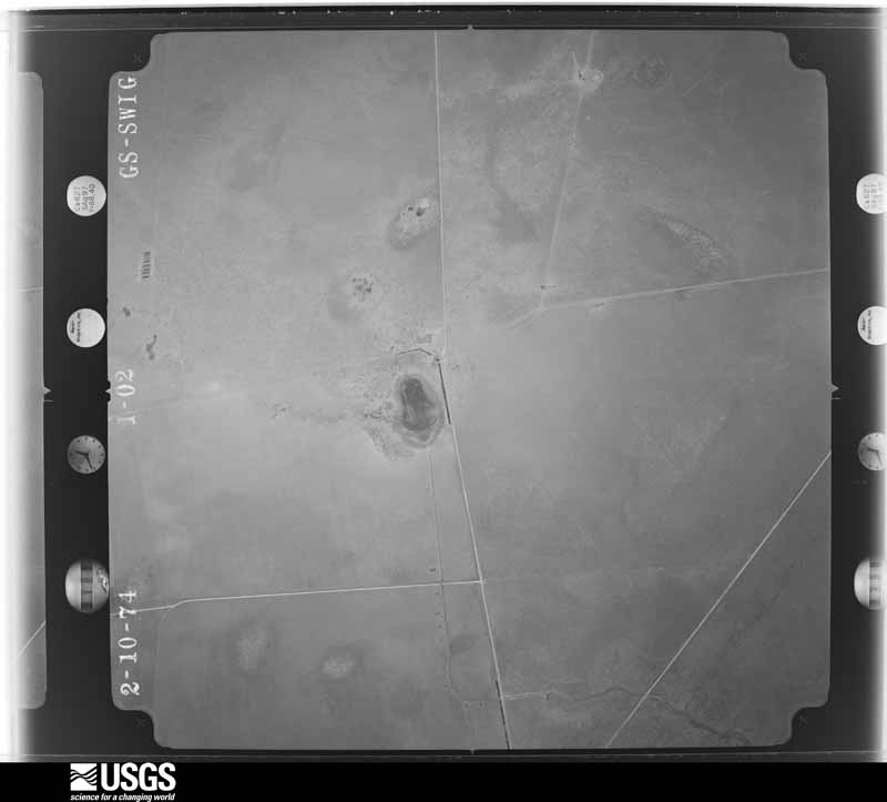
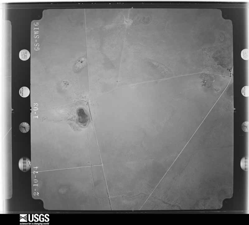
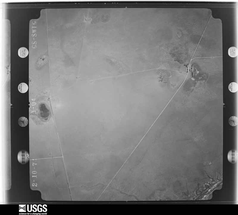
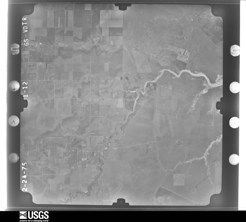
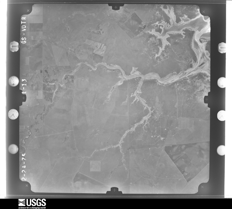
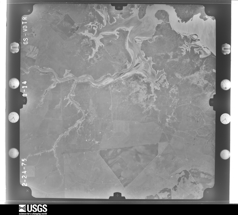
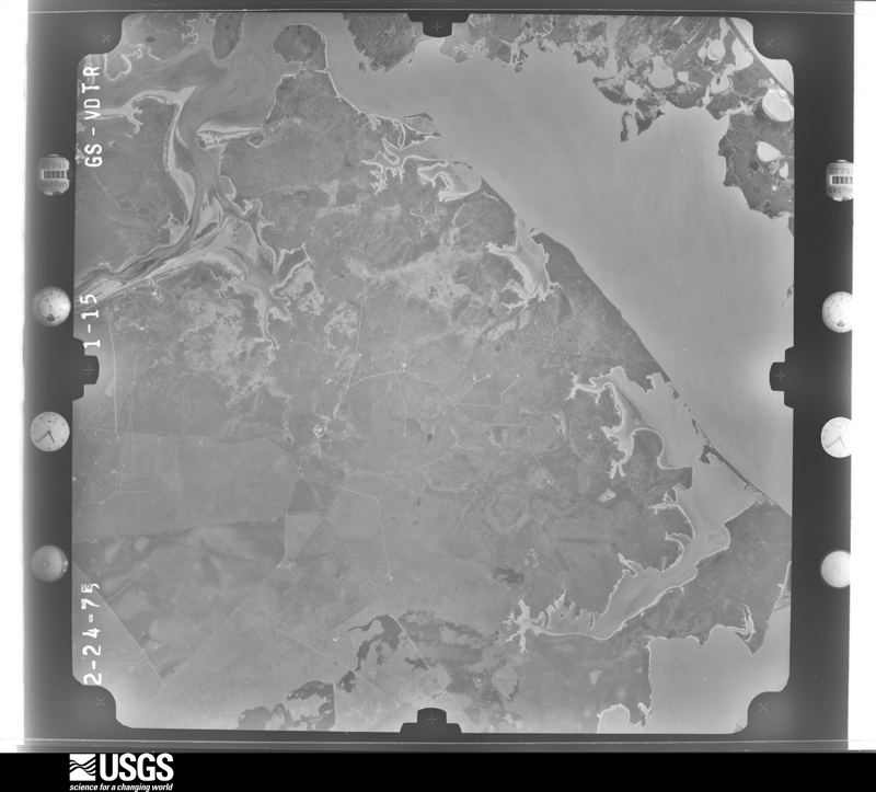
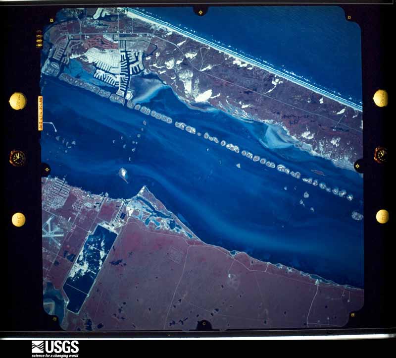
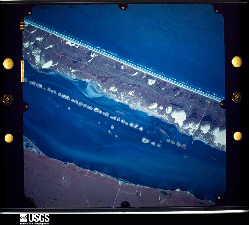
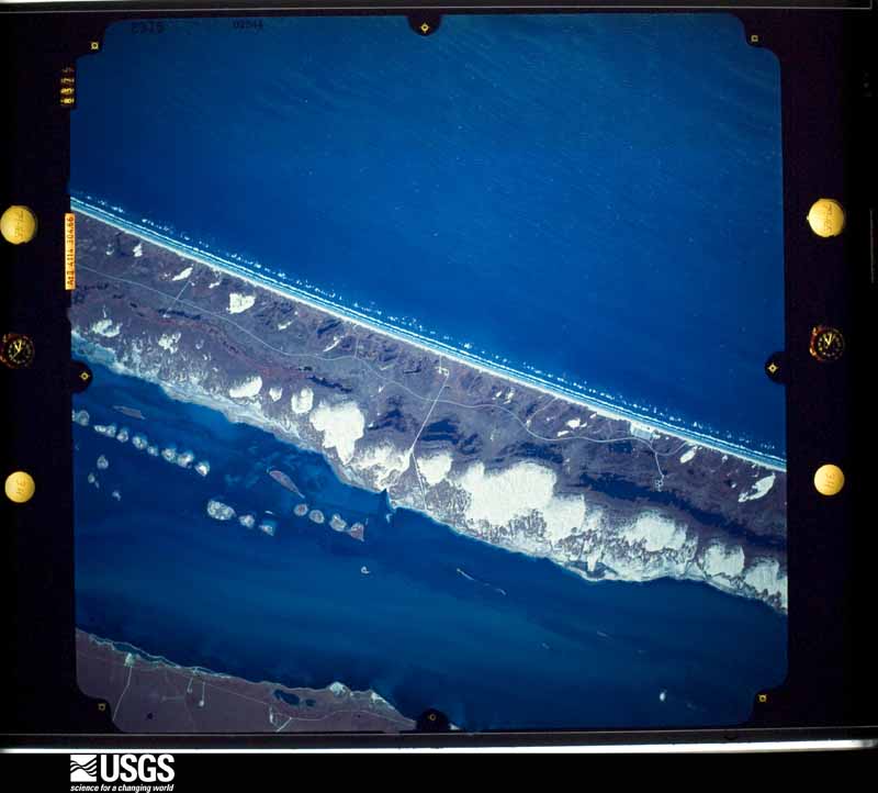
Flown by the U.S. Geological Survey between 1937 and 1989, the Aerial Photo Single Frames collection is the definitive mid-century view of the land: fields, roads and rivers as the camera saw them. The Survey holds 3,335 frames inside the rectangle that bounds this county; the 48 frames below were taken over the county itself, chosen across the decades of flights (at most four a year from that rectangle), so one flight cannot crowd out the rest. The full set is free to browse and download at EarthExplorer under the dataset Aerial Photo Single Frames.


The thermometers that kept this county's weather, and the gages that measured the flow of its streams, as the federal records hold them. The extremes below are measured values from those records, not estimates.
Who lived here in 1950, one enumeration district at a time, as the Census Bureau described each district. Each row opens its official National Archives result, with Population Schedules and ED Maps available there.
Every wildfire the federal occurrence database records inside this county: 149 of them, burning about 43,505 acres. 14 started naturally and 10 were recorded as arson. Each settlement page carries the fires within five miles of it.
| Reported cause | Fires |
|---|---|
| Missing data/not specified/undetermined | 74 |
| Debris and open burning | 18 |
| Equipment and vehicle use | 15 |
| Natural | 14 |
| Arson/incendiarism | 10 |
| Power generation/transmission/distribution | 5 |
| Smoking | 5 |
| Fireworks | 3 |
| Recreation and ceremony | 3 |
| Railroad operations and maintenance | 1 |
| Other causes | 1 |
The five largest, by the area the report gives. None of them was recorded as arson.
| Date | Cause | Size | Reported by | Name on the report |
|---|---|---|---|---|
| 14 July 2012 | Natural | 12,998 acres | Padre Island National Seashore | 6 MILE |
| 15 November 2005 | Natural | 10,003 acres | Padre Island National Seashore | DAISY |
| 6 December 2008 | Equipment and vehicle use | 4,934 acres | Padre Island National Seashore | POLARIS |
| 27 March 2009 | Missing data/not specified/undetermined | 2,000 acres | Texas A & M Forest Service | FLACA FIRE |
| 24 December 2004 | Missing data/not specified/undetermined | 1,238 acres | Padre Island National Seashore | BIG POND |
| 2 May 1996 | Smoking | 1,000 acres | Padre Island National Seashore | PANHANDLE |
| 15 July 2007 | Natural | 956 acres | Padre Island National Seashore | CAMERON |
| 20 April 2009 | Missing data/not specified/undetermined | 700 acres | Texas A & M Forest Service | BINA |
Every settlement page carries the fires within five miles of it - see the settlement index below.
The NOAA Storm Events Database holds 223 reports for this county, causing 1 death, no injuries and about $18,782,530 in recorded property damage. Each settlement page carries the reports that name it.
| Kind of event | Reports |
|---|---|
| Thunderstorm Wind | 64 |
| Flash Flood | 61 |
| Hail | 55 |
| Tornado | 30 |
| Funnel Cloud | 9 |
| Heavy Rain | 2 |
| Flood | 2 |
The most serious of them, by death, then injury, then recorded damage. The accounts are quoted exactly as the forecast office filed them.
| When | Event | Place named | Harm | What the report says |
|---|---|---|---|---|
| May 1986 | Thunderstorm Wind | not stated | 1 killed | no account filed |
| April 1994 | Thunderstorm Wind | Countywide | $5,000,000 | As the thunderstorms moved into Kleberg County, widespread wind damage was indicated across the county. Gusts to 74 knots were reported at the Kingsville Naval Air Station. Widespread reports were received of windows broken in homes and cars. Dozens of trees lost large branches as well. Three tank cars were derailed in Kingsville resulting in the leakage of the toxic chemical, butyl acetate. No evacuations were required. The storm knocked down several power poles, curtailing power to much of the county through the early morning hours. The greatest damage, according to the County Extension Agent, was over the northern part of the county, where damage to the corn crop was estimated at 65 to 70 percent. Lesser damage was indicated to the cotton crop. |
| April 1994 | Thunderstorm Wind | Kingsville N.A.S. | $5,000,000 | As the thunderstorms moved into Kleberg County, widespread wind damage was indicated across the county. Gusts to 74 knots were reported at the Kingsville Naval Air Station. Widespread reports were received of windows broken in homes and cars. Dozens of trees lost large branches as well. Three tank cars were derailed in Kingsville resulting in the leakage of the toxic chemical, butyl acetate. No evacuations were required. The storm knocked down several power poles, curtailing power to much of the county through the early morning hours. The greatest damage, according to the County Extension Agent, was over the northern part of the county, where damage to the corn crop was estimated at 65 to 70 percent. Lesser damage was indicated to the cotton crop. |
| May 2016 | Tornado (EF1) | Kingsville | $2,500,000 | An EF-1 tornado touched down at the intersection of Brahma Boulevard and East General Cavazos Boulevard. It traveled northwest crossing Business Highway 77 near Otis Street before lifting. Windows were broken and shingles were blown off the roof of an apartment complex. Vehicle windows were smashed. A portion of a roof was blown off of a home. Numerous large trees and power poles were snapped. Estimated peak wind speed was 110 mph. |
| May 2016 | Thunderstorm Wind | (Nqi)Nas Kingsville | $1,500,000 | Damaging straight line winds impacted an area from just west of Kingsville Naval Air Station and then extended northwest into the south central part of the city of Kingsville. |Hundreds of large tree limbs were snapped and several trees were uprooted. Some power poles were blown down. Wind speeds were estimated to be between 70 and 90 mph. |
| May 2016 | Tornado (EF1) | (Nqi)Nas Kingsville | $1,000,000 | An EF-1 tornado touched down near Farm to Market Road 1717 and traveled west across Highway 77 into Dick Kleberg Park. Numerous large trees and utility poles were snapped. Bleachers at the park were tossed 300 yards. A portion of the roof from a metal building was blown off. Estimated peak wind speed was 110 mph. |
| June 2019 | Thunderstorm Wind | Kingsville | $500,000 | NWS survey team concluded that a downburst of straight-line winds impacted Kingsville during the early evening. Damaging winds were observed across north Kingsville with the highest concentration of damage along Corral Avenue. Wind speeds were estimated between 80 to 90 mph. Widespread tree damaged occurred along with several large trees being uprooted. Power poles were snapped and moderate to major damage occurred to 15 structures. Wind speeds decreased as the winds propagated to the southeast. Winds were measured at 77 mph by the Naval Air Station Kingsville ASOS. The damage path was 2 miles wide and 9 miles in length. |
| May 2015 | Thunderstorm Wind | Riviera | $500,000 | NWS storm survey identified an 8 and a half mile long path of straight line wind damage extending from Riviera to near Loyola Beach. Peak wind gusts were estimated to be between 70 and 80 mph. Hundreds of large trees were damaged or snapped. A few shingles were missing from the roof of a home in Riviera. Several utility poles were damaged. The scoreboard from the Riviera High School football field and the dugout from the baseball field were destroyed. |
| May 2010 | Thunderstorm Wind | Ricardo | $500,000 | Several large mesquite trees and one full tree were snapped by winds. |
| April 1993 | Tornado (F1) | Kingsville | $500,000 | The Department of Public Safety and the Kingsville Police Department reported a tornado in the northeast part of Kingsville. A travel-trailer was destroyed and some buildings sustained structural damage. A portion of the roof on the Sage Motel was blown off. Several trees in the areas were uprooted. |
| April 1993 | Thunderstorm Wind | Padre Island | $500,000 | A Padre Island National Seashore Ranger reported wind gust to 58 mph. Four recreational vehicles were severely damaged. |
| June 2006 | Flash Flood | Countywide | $300,000 | An epic flash flood event across much of Kleberg County began in the late evening on the 1st and continued through much of June 2nd. 14.52 inches of rainfall was recorded by a volunteer NWS observer 2 miles east of Ricardo. Satellite precipitation estimates indicated up to 20 inches of rainfall may have fallen just east of the volunteer observer's location. Many Farm to Market and County Roads were flooded as well as U.S. 77 at Ricardo and several streets in Kingsville. About 30 residents in a flood plain along F.M. 1717, southeast of Kingsville, had to be evacuated for their safety from the rising water.Dollar estimates on the damages are rough, conservative estimates and are likely underestimated. See episode narrative below for further details on the event. |
| May 2016 | Hail | Ricardo | $250,000 | Baseball sized hail occurred near Ricardo. Hail caused damage to several vehicles. |
| May 2016 | Flash Flood | Kingsville | $100,000 | Vehicles were flooded near Texas A&M University at Kingsville and near Avenue G. Water approached homes and porches. A foot of water was on the roads. Several cars and trucks were stranded in high water. Roads were flooded on 17th Street, Caesar Avenue, and 14th through 16th Streets. |
| September 2014 | Flash Flood | Kingsville | $100,000 | Rainfall amounts between 5 and 7 inches occurred over western Kleberg County. This produced major flooding in the city of Kingsville. Water was 1 to 1 and 1/2 feet deep in some areas of Kingsville. Several cars were stranded in high water. |
| April 2007 | Heavy Rain | Kingsville | $60,000 | The roof at the Kingsville Recycling Center collapsed due to heavy rain. No one was inside the facility at the time the roof collapsed.| |
| May 2016 | Hail | Ricardo | $50,000 | Picture submitted through social media showed hail up to hen egg size fell near Ricardo. |
| April 2015 | Thunderstorm Wind | Kingsville | $50,000 | Winds blew down many power lines across the city of Kingsville. Power outages were widespread in the city. |
| May 1993 | Thunderstorm Wind | Ricardo | $50,000 | The Sheriff's Office reported several trees uprooted and some roof damage in the Hillcrest subdivision. |
| April 1993 | Hail | Kingsville | $50,000 | Golf ball-size hail was reported in Kingsville. Several cars were damaged and some minor tree damage was also reported. |
| March 2000 | Thunderstorm Wind | Padre Ranger Stn | $30,000 | A temporary building was blown over as it was sitting on a flat bed trailer. Windows were blown out at the Padre Island National Seashore Visitors Center. |
| March 2016 | Thunderstorm Wind | Kingsville | $25,000 | Roof damage occurred at a home near North Armstrong Street and I Avenue. The roof to a car port was blown off. |
| May 2015 | Thunderstorm Wind | Kingsville | $25,000 | Picture submitted through social media of a large tree blown on to power lines and a house in Kingsville. |
| September 1971 | Tornado (F1) | not stated | $25,000 | no account filed |
| May 2016 | Hail | Kingsville | $20,000 | Spotter reported quarter sized hail in the southeast part of Kingsville near the high school. |
| July 2007 | Thunderstorm Wind | Kingsville | $20,000 | Four to five inch diameter tree branches were snapped across the city. Multiple power lines were downed as well. |
| March 2007 | Thunderstorm Wind | Kingsville | $15,000 | A 59 mph wind gust was measured at the NAS Kinsville ASOS. Tree limbs were reported down thoughout Kingsville. One hundred three nursing home residents were evacuated from a nursing home after the winds broke windows, removed roof shingles and blew a roof air conditioner off the building. No injuries were reported. |
| March 2023 | Thunderstorm Wind | Kingsville | $10,000 | Public sent a picture of the roof of a Sunoco gas station blown over in Kingsville. |
| May 2019 | Thunderstorm Wind | Ricardo | $10,000 | Large tree was blown down at the intersection of County Roads 1026 and 2180 near the community of Ricardo. |
| June 2019 | Hail | Kingsville | $10,000 | Quarter sized hail occurred near the Texas A&M Kingsville campus. |
| May 2019 | Thunderstorm Wind | Kingsville | $10,000 | Large tree limbs were blown down at the intersection of Corral Avenue and 6th Street in Kingsville. |
| March 2016 | Thunderstorm Wind | Ricardo | $10,000 | Roof damage occurred to a barn near the community of Ricardo. |
| May 2020 | Thunderstorm Wind | Kingsville | $5,000 | Public reported big tree branches blown down around Kingsville through social media. |
| March 2016 | Thunderstorm Wind | Kingsville | $5,000 | Large tree limbs were blown down along Lee Avenue in Kingsville. |
| March 2016 | Thunderstorm Wind | Kingsville | $5,000 | Large tree limbs were blown down in Kingsville. |
| April 2012 | Hail | Ricardo | $5,000 | Kleberg County EM Office reported quarter sized hail in Ricardo. |
| May 2012 | Hail | Kingsville | $5,000 | Spotter reported quarter sized hail occurred at intersection of 6th Street and King Avenue. |
| May 2012 | Hail | Kingsville | $5,000 | Quarter sized hail occurred at Kingsville High School. |
| April 2010 | Tornado (EF0) | Kingsville Arpt | $5,000 | A trained spotter reported a tornado touched down on the King Ranch, south of Hwy 141 and roughly 4 miles west of the main entrance to the ranch. The tornado was on the ground for roughly 1/2 mile as it moved south, producing EF-0 damage. Minor damage of roofing tin along with twisted mesquite trees were reported by the King Ranch. Winds were estimated between 70 and 80 mph. |
| May 2006 | Hail | Kingsville | $5,000 | Tennis ball-sized hail damaged all mobile home in the Country Estates Mobile Ranch on F.M. 1717. Over 100 windows were broken by the hail. |
| April 1994 | Thunderstorm Wind | Kingsville | $5,000 | The Kingsville Police reported a power pole and several power lines downed in Kingsville. |
| May 1994 | Hail | NW Kingsville | $5,000 | Dime-sized hail was reported by a cooperative observer. A small palm tree was blown over by the storm which produced 1.82 inches of rain. |
| May 2010 | Thunderstorm Wind | Kingsville | $3,000 | Trained spotter estimated wind gust to 65 mph and observed penny sized hail. Several medium to large sized tree limbs were snapped on the west side of the city, and a few older trees and power lines were blown down. |
| June 1962 | Tornado (F1) | not stated | $2,500 | no account filed |
| May 2022 | Thunderstorm Wind | Riviera | $2,000 | A shed was blown over in Riviera. |
| November 2014 | Thunderstorm Wind | Riviera Beach | $2,000 | A tree was blown down on to a car near the King's Inn Restaurant in Loyola Beach. |
| March 2008 | Thunderstorm Wind | Corpus Christi | $2,000 | Power poles were downed near CR 55 and Highway 70 in rural Kleberg County. |
| May 2022 | Thunderstorm Wind | Kingsville | $1,000 | Winds snapped a tree in Kingsville. Report received through social media. |
| September 1983 | Tornado (F0) | not stated | $30 | no account filed |
| February 2026 | Thunderstorm Wind | Kingsville | - | Mesonet station FW9607 Kingsville. |
| May 2025 | Thunderstorm Wind | Kingsville | - | Southern damage extent. Small hardwood tree limbs broken (up to 1 inch diameter). |
| June 2025 | Flash Flood | Riviera Beach | - | Numerous sites at Riviera Beach Trailer Park are flooding due to heavy rain. |
| June 2025 | Flood | Riviera Beach | - | Roads are starting to flood throughout the area. |
| November 2025 | Hail | Ricardo | - | Significant hail damage to windshields and car hoods. |
| November 2025 | Hail | Riviera | - | Hail report from mping. |
| November 2025 | Hail | Riviera | - | Lots of hail reported. Size estimated based on radar. |
| May 2024 | Hail | Kingsville | - | Nickel to quarter sized hail near St. Gertrudes Catholic Church. |
| April 2023 | Thunderstorm Wind | Riviera Beach | - | TCOON site at Baffin Bay measured a gust to 77 mph. |
| April 2023 | Thunderstorm Wind | (Nqi)Nas Kingsville | - | Kingsville Naval Air Station ASOS measured a gust to 63 mph. |
| August 2023 | Flash Flood | Kingsville | - | Flooding of streets occurred on 14th Street between Ailsie and Caesar Avenues in Kingsville. |
Named settlements recorded in the Geographic Names Information System, each with the topographic sheets covering it. Villages, hamlets and abandoned places alike. Each is shown with the nearest named watercourse or landform and the survey quadrangle it falls on.
Riviera census division · 78379 · On Araña Creek · Riviera Beach quadrangle
12 sheets, 1928 to 1989
Riviera census division · 78379 · By Neubauer Rocks · Riviera Beach quadrangle
12 sheets, 1928 to 1989