 Block
BlockFrom the record
3 National Register listings published here.
Sources: the National Register database, National Park Service
32 topographic sheets cover 10 settlements here, and 3 properties are on the National Register of Historic Places.
3 National Register listings published here.
Sources: the National Register database, National Park Service
Every property in this county listed on the National Register of Historic Places, with the year it was listed and the federal nomination document.
| Photograph | Property | Type | Listed | Reference |
|---|---|---|---|---|
| Cotulla Ranch | building | 2014 | 14000342 | |
 | La Salle County Courthouse | building | 2007 | 07000690 |
| Welhausen School and Florita Plaza | district | 2021 | 100007001 |
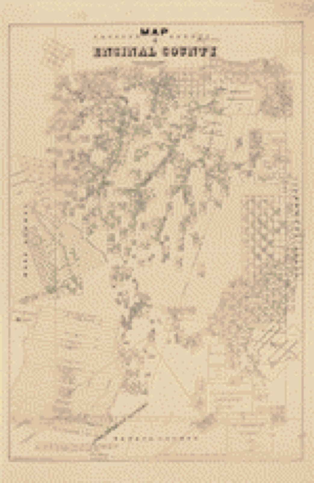
Drawn when these were printed as single large sheets: the town seen from the air, and the county divided into its farms with every owner named. Each opens the original at the Library of Congress.

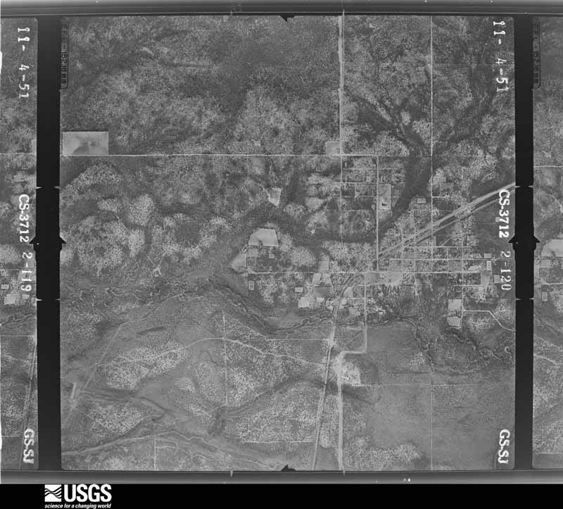
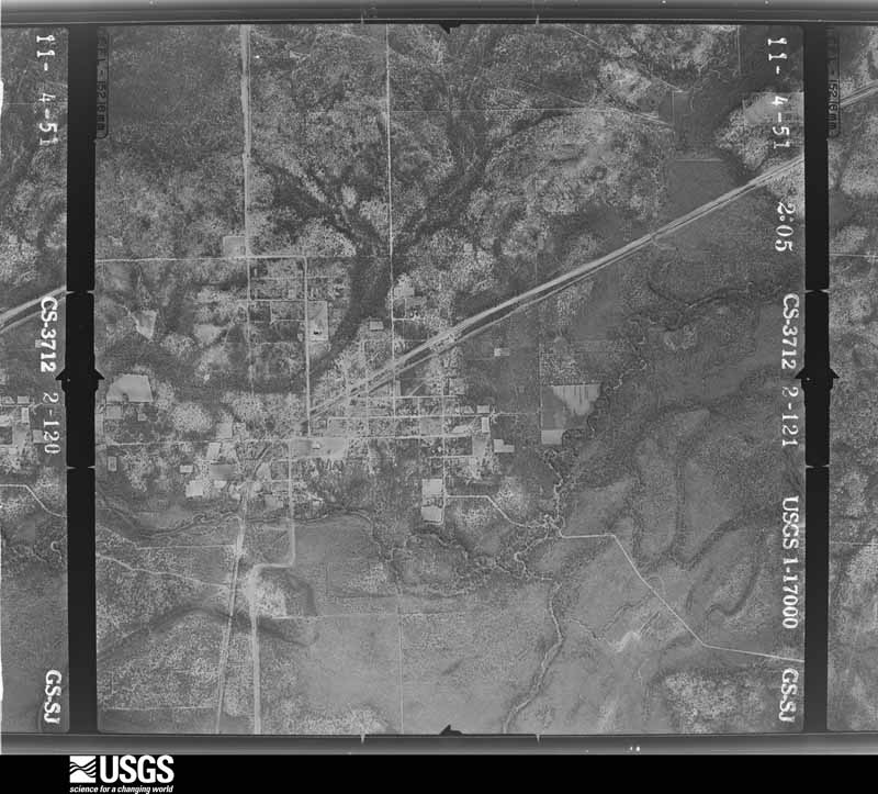
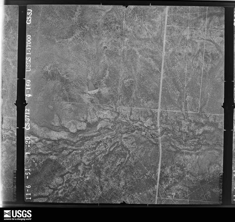
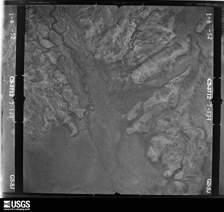
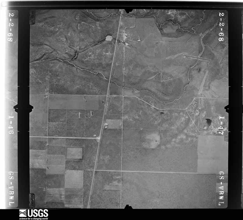
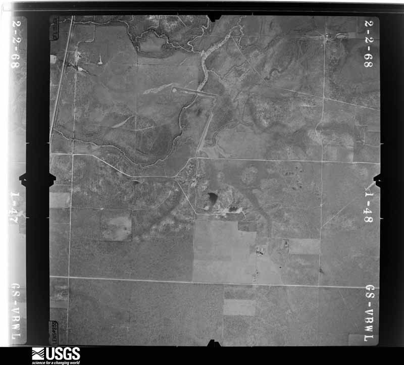
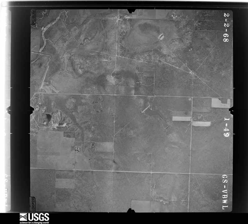
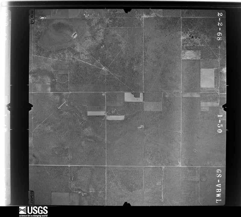
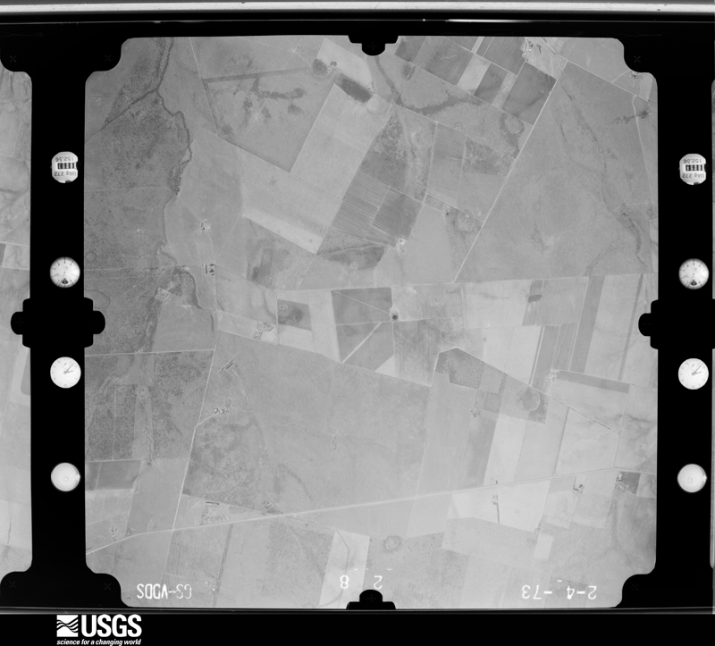
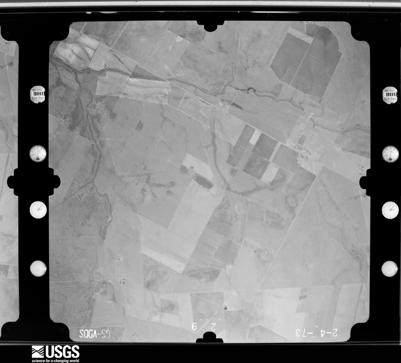
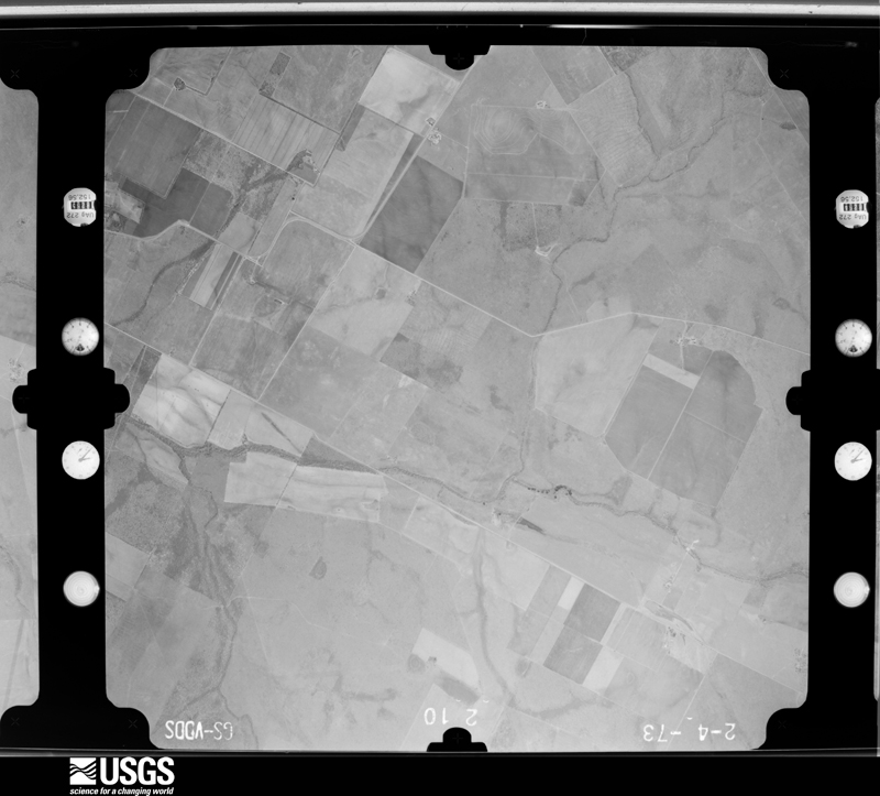
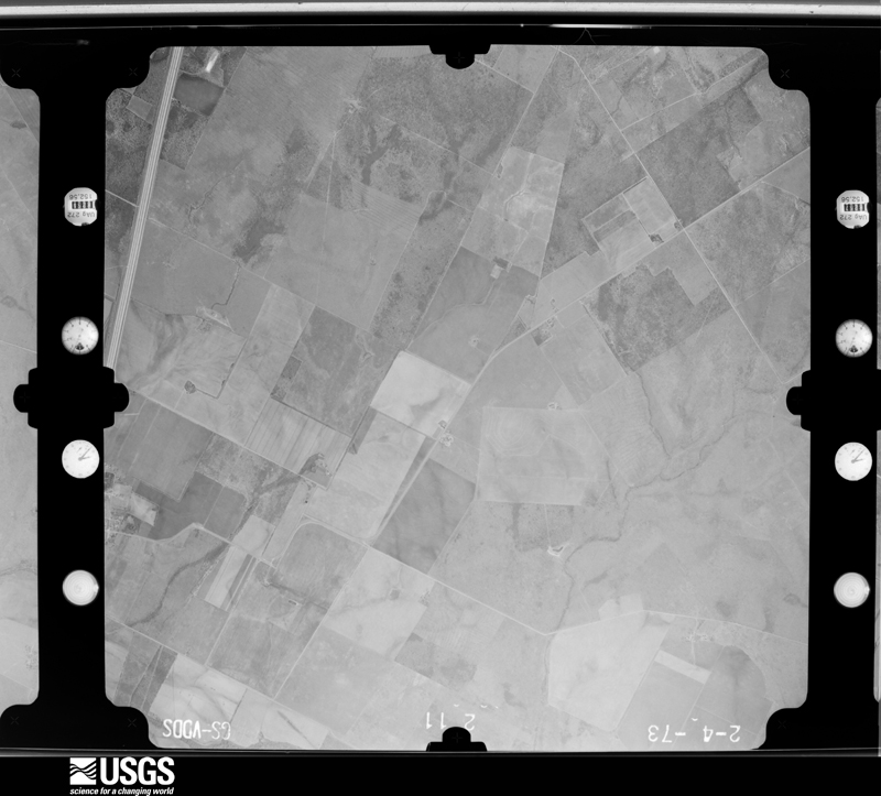
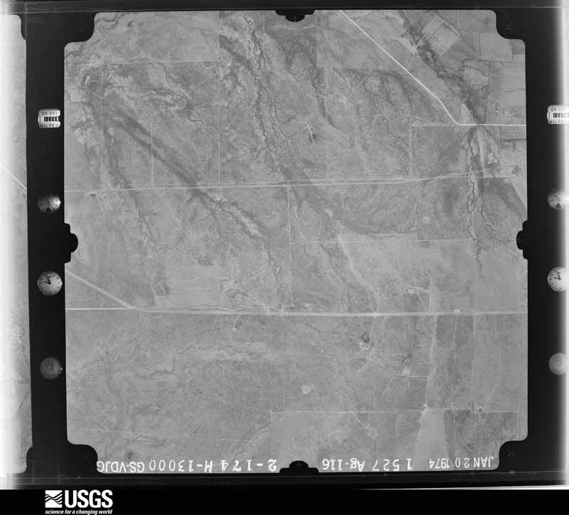
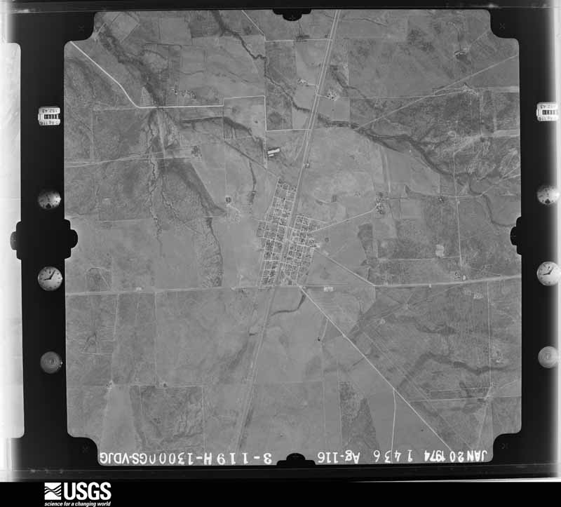
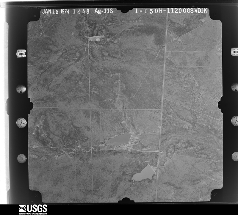
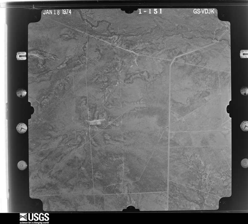
Flown by the U.S. Geological Survey between 1937 and 1989, the Aerial Photo Single Frames collection is the definitive mid-century view of the land: fields, roads and rivers as the camera saw them. The Survey holds 881 frames inside the rectangle that bounds this county; the 20 frames below were taken over the county itself, chosen across the decades of flights (at most four a year from that rectangle), so one flight cannot crowd out the rest. The full set is free to browse and download at EarthExplorer under the dataset Aerial Photo Single Frames.




The thermometers that kept this county's weather, and the gages that measured the flow of its streams, as the federal records hold them. The extremes below are measured values from those records, not estimates.
Who lived here in 1950, one enumeration district at a time, as the Census Bureau described each district. Each row opens its official National Archives result, with Population Schedules and ED Maps available there.
Every wildfire the federal occurrence database records inside this county: 467 of them, burning about 37,788 acres. 1 started naturally and 3 were recorded as arson. Each settlement page carries the fires within five miles of it.
| Reported cause | Fires |
|---|---|
| Debris and open burning | 293 |
| Missing data/not specified/undetermined | 102 |
| Equipment and vehicle use | 38 |
| Railroad operations and maintenance | 10 |
| Smoking | 8 |
| Power generation/transmission/distribution | 6 |
| Misuse of fire by a minor | 4 |
| Arson/incendiarism | 3 |
| Recreation and ceremony | 2 |
| Natural | 1 |
The five largest, by the area the report gives. None of them was recorded as arson.
| Date | Cause | Size | Reported by | Name on the report |
|---|---|---|---|---|
| 2 February 2008 | Missing data/not specified/undetermined | 19,000 acres | Texas A & M Forest Service | COTULLA FIRE |
| 20 January 2008 | Missing data/not specified/undetermined | 3,000 acres | Texas A & M Forest Service | not named |
| 23 December 2007 | Missing data/not specified/undetermined | 1,500 acres | Texas A & M Forest Service | not named |
| 30 June 2009 | Railroad operations and maintenance | 1,300 acres | Texas A & M Forest Service | ALDERMAN RANCH |
| 6 September 2011 | Debris and open burning | 800 acres | Texas A & M Forest Service | TRIPLE G |
| 26 July 2019 | Equipment and vehicle use | 676 acres | Texas A & M Forest Service | JAEGER |
| 3 February 2008 | Debris and open burning | 600 acres | Texas A & M Forest Service | not named |
| 2 February 2008 | Debris and open burning | 600 acres | Texas A & M Forest Service | not named |
Every settlement page carries the fires within five miles of it - see the settlement index below.
The NOAA Storm Events Database holds 165 reports for this county, causing no deaths, 5 injuries and about $1,449,000 in recorded property damage. Each settlement page carries the reports that name it.
| Kind of event | Reports |
|---|---|
| Hail | 67 |
| Thunderstorm Wind | 49 |
| Flash Flood | 29 |
| Tornado | 10 |
| Flood | 7 |
| Heavy Rain | 2 |
| Lightning | 1 |
The most serious of them, by death, then injury, then recorded damage. The accounts are quoted exactly as the forecast office filed them.
| When | Event | Place named | Harm | What the report says |
|---|---|---|---|---|
| May 2012 | Tornado (EF0) | Woodward | 2 hurt, $50,000 | Tornado touched down along Farm to Market Road 468 near the Dimmit County line. The tornado flipped an 18 wheeler then proceeded northeast about 5 miles. The tornado then crossed Farm to Market Road 469 and struck an oil hydraulic fracturing flow back site. The tornado flipped one RV trailer at the site. Two people inside the RV trailer sustained serious injuries. Both were released from the hospital the next day. The winds were estimated to be around 80 mph with this damage. The tornado proceeded northeast across open ranch land another 5 miles before dissipating. |
| February 1990 | Thunderstorm Wind | not stated | 2 hurt | no account filed |
| May 2015 | Tornado (EF1) | Woodward | 1 hurt, $100,000 | NWS storm survey confirmed an EF-1 tornado caused damage on a private ranch in rural northwest La Salle County. The tornado touched down near Johnson Ranch Road just northeast of Farm to Market Road 468. A rancher was thrown from his barn and landed on top of his trailer. Numerous large trees were snapped at their base and several trees were uprooted. The tornado destroyed a wooden cabin, lofting debris |about 100 yards. Wind speeds were estimated at 85 to 90 mph. |
| March 2023 | Hail | Cotulla | $300,000 | La Salle County Sheriff's Office reported hail damage to cars, including broken windshields, in Cotulla from hail up to the size of softballs. The large hail broke windows in several homes. |
| May 1980 | Tornado (F1) | not stated | $250,000 | no account filed |
| June 1955 | Tornado (F2) | not stated | $250,000 | no account filed |
| September 2017 | Flash Flood | Gardendale | $100,000 | Texas Department of Transportation reported Interstate 35 north of Millet was closed due to flooding. Bulldozers are being used to help push cars and trucks out of high water north of Cotulla. |
| October 2013 | Flash Flood | Fowlerton | $100,000 | Several high water rescues occurred in La Salle County with water as high as|4 feet deep in some areas. |
| May 2017 | Lightning | (Cot)Cotulla Muni Ar | $50,000 | Lightning caused a fire at a storage facility along Highway 97. |
| May 2015 | Tornado (EF0) | Gardendale | $50,000 | A tornado moved across a ranch and damaged a couple of barns. Three trees were uprooted and many branches were broken. |
| October 2013 | Flood | Cotulla | $50,000 | Major flooding along the Nueces River occurred near Cotulla. Some farm and ranch equipment were flooded. Cattle were cut off by the flood waters also. |
| May 2007 | Thunderstorm Wind | Encinal | $25,000 | The bow echo that impacted northwest Webb county continued northeast into southern La Salle county, causing damage in the town of Encinal. There was damage to the siding of a few trailer homes. The sheet metal on a several structures was peeled back, and even taken off in some cases. Several large 8-12 inch diameter tree limbs were snapped. Highway signs were also blown over. |
| May 2025 | Thunderstorm Wind | Cotulla | $24,000 | Two tractor trailers blown over 5 SSW of town (estimated on I-35). |
| April 2016 | Hail | Cotulla | $20,000 | Ping pong ball sized hail occurred in Cotulla causing damage to plants. Images relayed to the NWS through Facebook. |
| March 2016 | Thunderstorm Wind | Artesia Wells | $20,000 | Pictures submitted from the public showed large mesquite trees blown down. Roof damage occurred to a church. |
| May 2022 | Thunderstorm Wind | Encinal | $10,000 | Winds damaged a barn, windmill and water container north of Encinal. |
| April 2016 | Hail | Cotulla | $10,000 | Quarter sized hail occurred at the Big's Travel Center near Interstate 35 in Cotulla. |
| March 2013 | Hail | Powerton | $10,000 | Coop observer reported golf ball sized hail near Fowlerton. |
| June 2007 | Flash Flood | Cotulla | $10,000 | TXDOT reported a large section of F.M. 624 in rural southeastern La Salle county closed due to flooding. A culvert along 624 was washed out due to the heavy rain. The road remained closed into the next day.| |
| July 2018 | Thunderstorm Wind | Cotulla | $5,000 | Business signs and power lines were blown down near Interstate 35 in Cotulla. |
| April 2015 | Thunderstorm Wind | Los Angeles | $5,000 | Winds snapped or uprooted trees near Los Angeles. |
| April 2015 | Thunderstorm Wind | Tuna | $5,000 | Large tree limbs were blown down at the Chaparral Wildlife Management Area. |
| April 2024 | Thunderstorm Wind | (Cot)La Salle Co Arpt | $2,000 | Power cables damaged, trees down, and roofs damaged throughout the town of Cotulla. |
| March 2023 | Hail | (Cot)La Salle Co Arpt | $2,000 | Public report was received with pictures showing golf ball to tennis ball sized hail that broke a skylight in Cotulla. |
| April 2024 | Thunderstorm Wind | Cotulla | $1,000 | Thunderstorm wind damage report in Cotulla of chance fencing blown down at the Tx DOT facility. |
| May 2025 | Heavy Rain | Cotulla | - | Observed 1.19. The period of the Rain event was 30 minutes. |
| February 2024 | Thunderstorm Wind | (Cot)La Salle Co Arpt | - | KCOT ASOS recorded a severe wind gust of 56 knots (64 mph) as a strong thunderstorm bowed through northern La Salle County and Cotulla. |
| March 2024 | Thunderstorm Wind | (Cot)La Salle Co Arpt | - | ASOS station KCOT in Cotulla, TX measured a wind gust of 60 mph likely due to efficient evaporative cooling in wake of an anvil from a strong to severe thunderstorm to its south. |
| April 2024 | Hail | Cotulla | - | Trained spotter reported quarter size hail in Cotulla. |
| April 2023 | Hail | (Cot)La Salle Co Arpt | - | Public posted video of nickel to quarter sized hail falling in Cotulla. |
| April 2023 | Hail | Cotulla | - | Public reported through social media that golf ball sized hail occurred in Cotulla. |
| March 2023 | Thunderstorm Wind | (Cot)La Salle Co Arpt | - | The Cotulla/La Salle County Airport ASOS recorded a wind gust to 70 mph. |
| April 2022 | Thunderstorm Wind | Artesia Wells | - | Small to medium sized branches were broken from trees near Artesia Wells. |
| May 2022 | Thunderstorm Wind | (Cot)La Salle Co Arpt | - | Cotulla/La Salle County Municipal Airport ASOS measured a gust to 58 knots. |
| August 2022 | Flood | Artesia Wells | - | Major flooding occurred in southeast La Salle County as a flood wave from San Casamiro Creek moved through. Major flooding cut off extensive portions of the flood plain. |
| August 2022 | Flash Flood | Cotulla | - | Farm to Market Road 624 southeast of Cotulla had flood waters covering the road. |
| May 2020 | Thunderstorm Wind | (Cot)La Salle Co Arpt | - | Cotulla-La Salle County Airport ASOS measured a gust to 70 mph. |
| June 2020 | Thunderstorm Wind | (Cot)La Salle Co Arpt | - | Cotulla-La Salle County Airport ASOS measured a gust to 59 mph. |
| March 2018 | Thunderstorm Wind | (Cot)Cotulla Muni Ar | - | Cotulla-La Salle County Airport ASOS measured a gust to 53 knots. |
| March 2018 | Thunderstorm Wind | (Cot)Cotulla Muni Ar | - | Cotulla-La Salle County Airport ASOS measured an additional wind gust to 53 knots. |
| April 2018 | Hail | Encinal | - | Law enforcement reported quarter sized hail east of Encinal. |
| October 2018 | Flood | Woodward | - | Heavy rainfall between 4 to 6 inches occurred on October 7th across the Upper Nueces River watershed. The flow from this heavy rainfall caused the Nueces River at Cotulla to reach major flood stage on the 15th and continued through the 19th across La Salle County. |
| October 2018 | Flood | Woodward | - | Heavy rainfall between 5 to 8 inches occurred on October 15th across the Upper Nueces River watershed. The flow from this heavy rainfall caused the Nueces River at Cotulla to reach major flood stage on the 20th and continued through the 25th across La Salle County. Major and massive lowland flooding occurred. Many roads near the river were flooded, including Farm to Market Road 3408 from Interstate 35, Valley Wells Road, and the frontage road near mile marker 67. Flooding also occurred on Dobie Road including in and around Farm to Market Road 624. FM 624 flooded south of Highway 97 toward Fowlerton. |
| May 2017 | Thunderstorm Wind | (Cot)Cotulla Muni Ar | - | Cotulla-La Salle County Airport ASOS measured a gust to 59 MPH. |
| April 2017 | Hail | (Cot)Cotulla Muni Ar | - | Video was submitted of hail falling near Cotulla. Hail was measured to the size of half dollars. |
| September 2017 | Flood | Tuna | - | Farm to Market Road 3408 from I-35, Valley Wells Road, and the frontage road near mile marker 67 were flooded. Flooding also occurred on Dobie Road including in and around Highway 624. |
| April 2016 | Hail | Artesia Wells | - | Dime sized hail occurred at Artesia Wells. |
| April 2016 | Tornado (EF0) | Los Angeles | - | Spotter reported a brief rain wrapped tornado. |
| May 2016 | Hail | Tuna | - | Heavy amount of nickel sized hail was reported by the public through social media. |
| August 2016 | Flash Flood | (Cot)Cotulla Muni Ar | - | Water was over the road on Farm to Market Road 468 west of Cotulla. |
| April 2015 | Hail | Powerton | - | Quarter sized hail was reported in Fowlerton. |
| April 2015 | Hail | Encinal | - | Public reported penny sized hail occurred in Encinal. |
| May 2015 | Flash Flood | (Cot)Cotulla Muni Ar | - | Cotulla Fire Department and spotter reported high water on Farm to Market Road 468 just northwest of Cotulla. |
| May 2015 | Flash Flood | Artesia Wells | - | Farm to Market Road 624 was closed from Cotulla to the county line due to water over the road. |
| May 2015 | Flood | Cotulla | - | The Nueces River crested at 20.63 feet at Cotulla on the 23rd but was in major flood category from the 22nd to the 30th. The flooding caused several roads around Cotulla to be closed. The frontage road on Interstate 35 near the KOA campground was closed. Farm to Market Road 3408 and Valley Wells Road were closed. |
| April 2015 | Hail | Artesia Wells | - | Quarter sized hail occurred near Artesia Wells. |
| April 2015 | Hail | Cotulla | - | Picture received via social media of at least quarter sized hail in Cotulla. Time estimated by radar. |
| May 2015 | Flood | Fowlerton | - | Flood wave moving down the Frio River flooded several roads around Fowlerton. |
| July 2014 | Flash Flood | Artesia Wells | - | Flooding was reported on Farm to Market Road 133 west of Artesia Wells. |
| July 2014 | Flash Flood | Los Angeles | - | Water covered the road on Farm to Market Road 469 south of Los Angeles. |
Named settlements recorded in the Geographic Names Information System, each with the topographic sheets covering it. Villages, hamlets and abandoned places alike. Each is shown with the nearest named watercourse or landform and the survey quadrangle it falls on.
Cotulla census division · 78021 · On Sevenmile Creek · Fowlerton quadrangle
9 sheets, 1942 to 1985