 Block
BlockWoodward, Texas
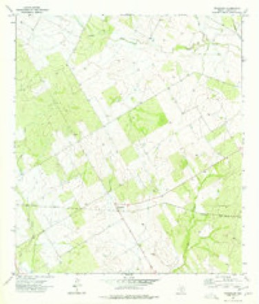
8 topographic sheets cover this place, the earliest surveyed in 1953 and the latest in 1985. It stands in the Cotulla census division. It lies in ZIP code area 78014. The Survey maps it on the Woodward quadrangle.
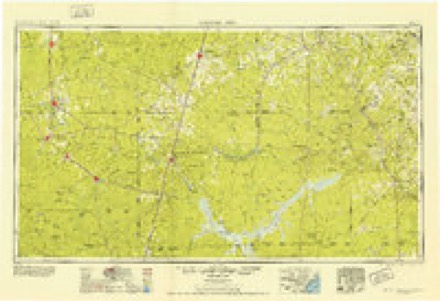
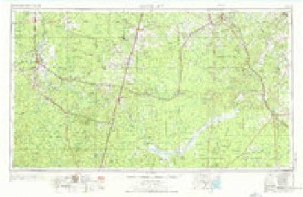
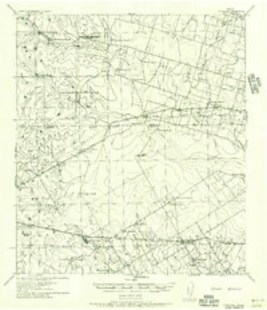
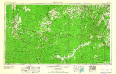
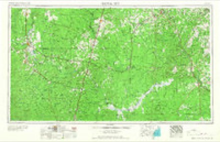
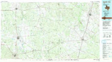
Topographic sheets covering this place
7 surveys from 8 printed sheetsMatched by testing this settlement's coordinate against the published boundary of every sheet in the United States Geological Survey's historical collection. Each opens the scanned sheet at the Survey.
- 1953 USGS Crystal City quadrangle1:250000
- 1955 USGS Crystal City quadrangle1:250000
- 1956 USGS Woodward quadrangle1:62500
- 1961 USGS Crystal City quadrangle1:250000
- 1968 USGS Crystal City quadrangle1:250000
- 1974 USGS Woodward quadrangle1:24000
- 1985 USGS Crystal City quadrangle1:100000, 2 printings
Fires near this place
22 since 2007Regional context, not property-specific evidence. The federal wildfire occurrence database lists 22 fires within 5 miles of Woodward between 2007 and 2015, burning about 23,964 acres in total. None started naturally. None was recorded as arson. Distance is straight-line from the map coordinates, so a fire counted here may appear on a neighbouring settlement's page as well.
| Reported cause | Fires |
|---|---|
| Debris and open burning | 13 |
| Missing data/not specified/undetermined | 5 |
| Equipment and vehicle use | 4 |
The most recent of them, most recent first, with the day each was reported and the service that recorded it.
| Date | Cause | Size | Reported by | Name on the report |
|---|---|---|---|---|
| 4 September 2015 | Missing data/not specified/undetermined | 125 acres | Texas A & M Forest Service | FM 469 3 MILES FROM FM 468 |
| 30 September 2008 | Debris and open burning | under an acre | Texas A & M Forest Service | not named |
| 29 September 2010 | Debris and open burning | 300 acres | Texas A & M Forest Service | HARVEY SMITH RANCH |
| 30 August 2013 | Debris and open burning | 1.0 acres | Texas A & M Forest Service | AYALA RD |
| 30 August 2010 | Debris and open burning | under an acre | Texas A & M Forest Service | TRASH PIT RESTART 3379 FM469 |
| 22 August 2008 | Equipment and vehicle use | 10 acres | Texas A & M Forest Service | not named |
| 2 August 2011 | Debris and open burning | under an acre | Texas A & M Forest Service | FM468 5 MILES OUT |
| 19 August 2010 | Debris and open burning | 15 acres | Texas A & M Forest Service | AYALA CO ROAD |
Settlements close enough to share some of these fires:
Storms near this place
6 since 2004Regional context, not property-specific evidence. The National Weather Service names Woodward in 6 storm reports between 2004 and 2018: 2 tornado, 2 flood, 1 hail, 1 flash flood. The reports record 3 injuries. Each account below is quoted exactly as the forecast office filed it, from the NOAA Storm Events Database, and each date opens the federal record of that event.
| When | Event | Place named | Harm | What the report says |
|---|---|---|---|---|
| May 2012 | Tornado (EF0) | Woodward | 2 hurt, $50,000 | Tornado touched down along Farm to Market Road 468 near the Dimmit County line. The tornado flipped an 18 wheeler then proceeded northeast about 5 miles. The tornado then crossed Farm to Market Road 469 and struck an oil hydraulic fracturing flow back site. The tornado flipped one RV trailer at the site. Two people inside the RV trailer sustained serious injuries. Both were released from the hospital the next day. The winds were estimated to be around 80 mph with this damage. The tornado proceeded northeast across open ranch land another 5 miles before dissipating. |
| May 2015 | Tornado (EF1) | Woodward | 1 hurt, $100,000 | NWS storm survey confirmed an EF-1 tornado caused damage on a private ranch in rural northwest La Salle County. The tornado touched down near Johnson Ranch Road just northeast of Farm to Market Road 468. A rancher was thrown from his barn and landed on top of his trailer. Numerous large trees were snapped at their base and several trees were uprooted. The tornado destroyed a wooden cabin, lofting debris |about 100 yards. Wind speeds were estimated at 85 to 90 mph. |
| October 2018 | Flood | Woodward | - | Heavy rainfall between 4 to 6 inches occurred on October 7th across the Upper Nueces River watershed. The flow from this heavy rainfall caused the Nueces River at Cotulla to reach major flood stage on the 15th and continued through the 19th across La Salle County. |
| October 2018 | Flood | Woodward | - | Heavy rainfall between 5 to 8 inches occurred on October 15th across the Upper Nueces River watershed. The flow from this heavy rainfall caused the Nueces River at Cotulla to reach major flood stage on the 20th and continued through the 25th across La Salle County. Major and massive lowland flooding occurred. Many roads near the river were flooded, including Farm to Market Road 3408 from Interstate 35, Valley Wells Road, and the frontage road near mile marker 67. Flooding also occurred on Dobie Road including in and around Farm to Market Road 624. FM 624 flooded south of Highway 97 toward Fowlerton. |
| May 2012 | Flash Flood | Woodward | - | Heavy rain caused flooding in the Woodward area. Water was 2 feet deep over Farm to Market Road 468. |
| February 2004 | Hail | Woodward | - | no account filed |
Nearest settlements
The eight closest, with where each one stands in the county. Distances are straight-line, computed from the Geographic Names Information System coordinates.
| Map | Place | Distance | Sheets |
|---|---|---|---|
| Gardendale | 5.7 miles | 9 | |
| Millett | 7.3 miles | 9 | |
| Cotulla | 8.1 miles | 10 | |
| Zamora Acres Colonia | 8.4 miles | 10 | |
| Artesia Wells | 17.6 miles | 13 | |
| Los Angeles | 17.6 miles | 10 | |
| Dull | 21.5 miles | 9 | |
| Fowlerton | 27.4 miles | 9 |
Provenance
This settlement is recorded in the Geographic Names Information System as feature 1380803. The sheet list is computed by point-in-boundary test against the United States Geological Survey's historical topographic inventory. Both are works of the United States government and carry no copyright under 17 U.S.C. 105.
Wildfire. Short, Karen C. 2022. Spatial wildfire occurrence data for the United States, 1992-2020 [FPA_FOD_20221014]. 6th Edition. Fort Collins, CO: Forest Service Research Data Archive. https://doi.org/10.2737/RDS-2013-0009.6 Collected with United States Government funding and usable without additional permissions or fees.
Storms. NOAA National Centers for Environmental Information, Storm Events Database https://www.ncei.noaa.gov/stormevents/ A work of the United States government, no copyright under 17 U.S.C. 105. Narratives are quoted verbatim from the National Weather Service report and are not edited or summarised.