 Block
BlockLamb County, Texas
39 topographic sheets cover 17 settlements here.
Research this county
What the record shows
- 145 topographic sheet readings cover the county's settlements.
- The Geographic Names Information System records 17 populated places in this county; 17 are covered by at least one topographic sheet.
The county from the air
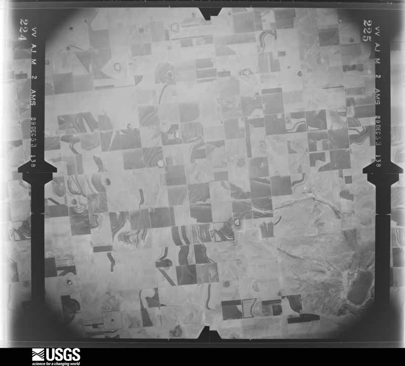
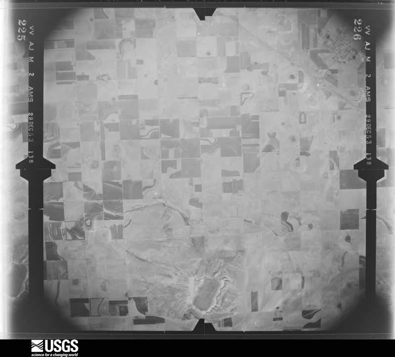
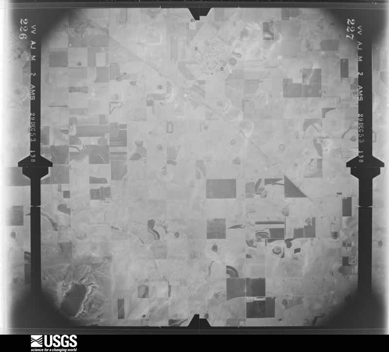
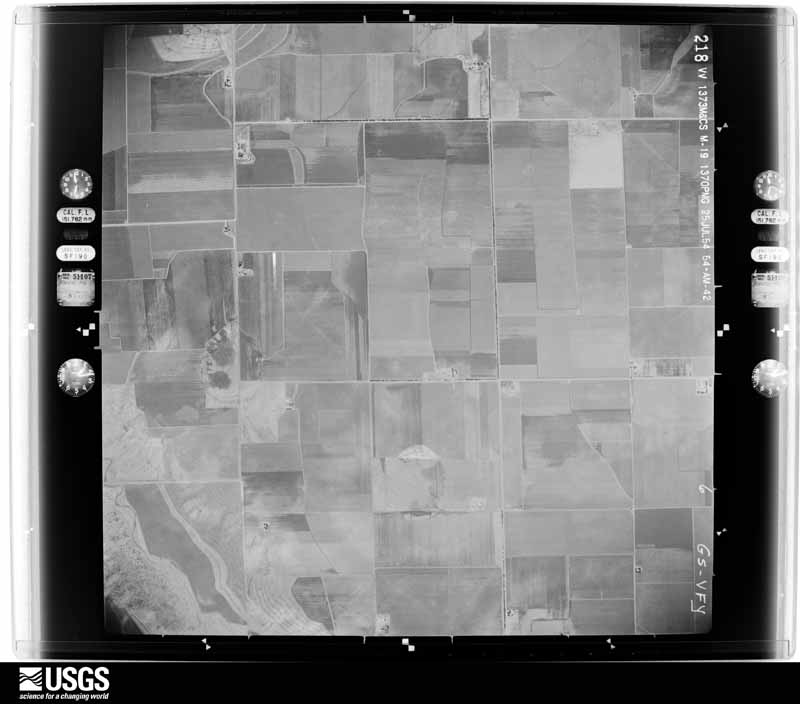
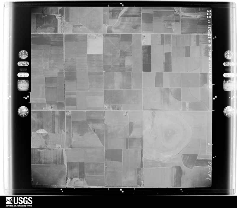
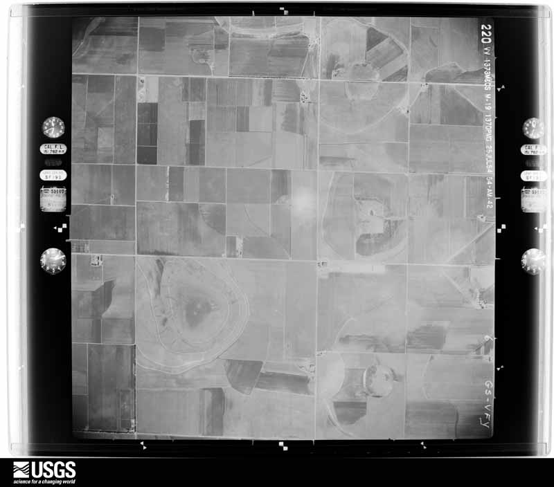
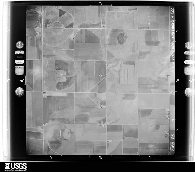
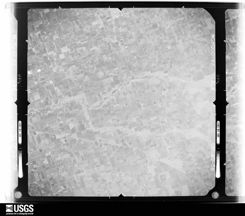
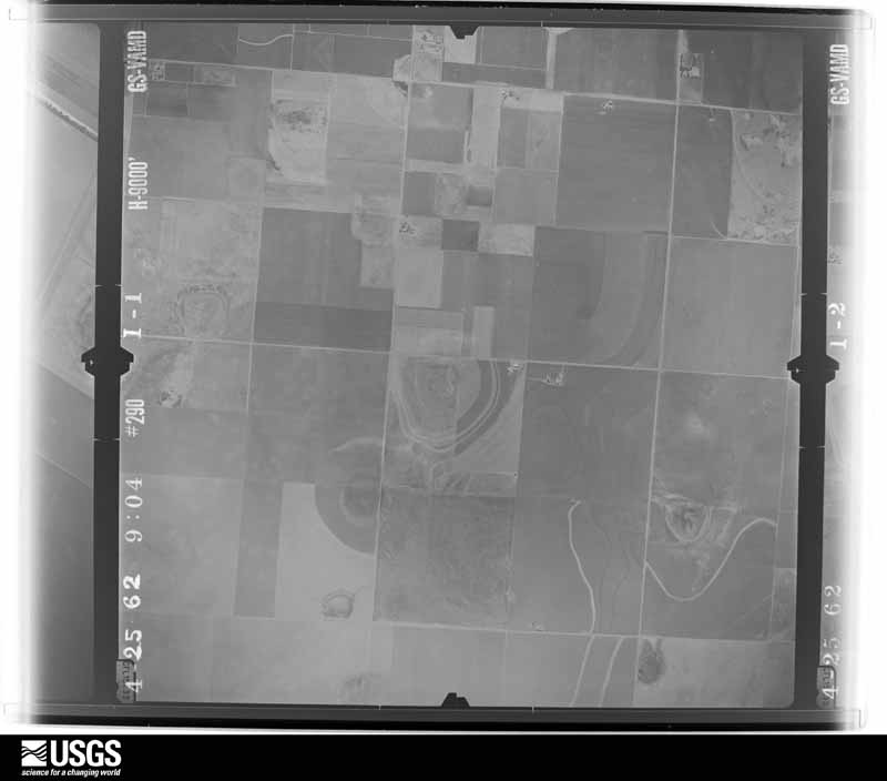
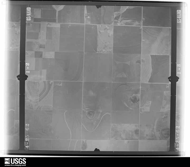
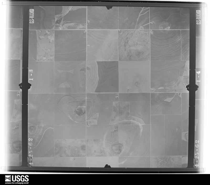
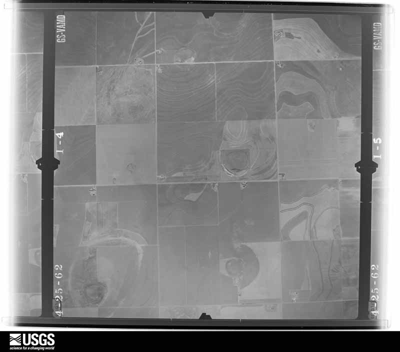
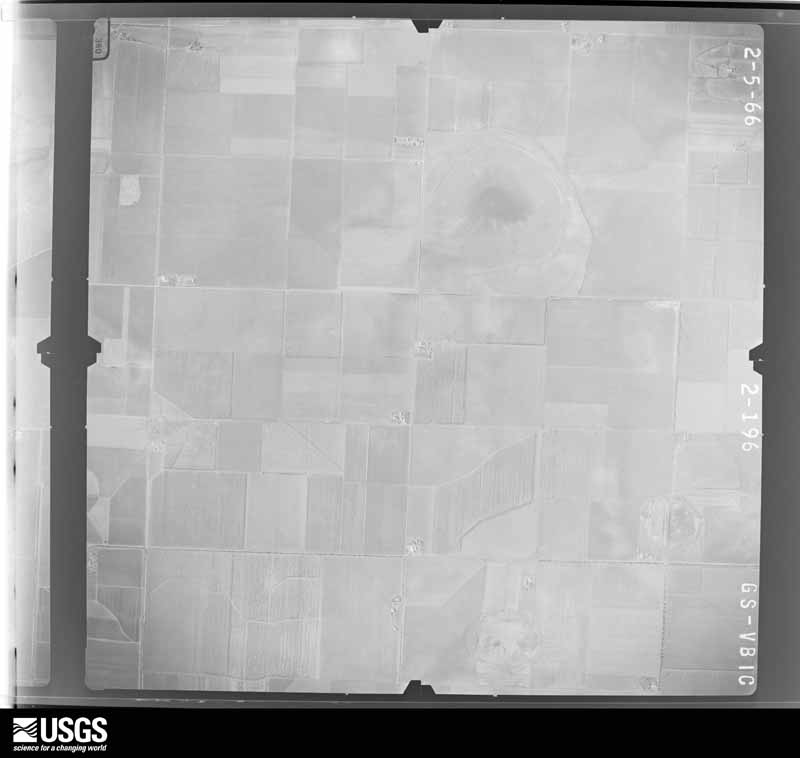
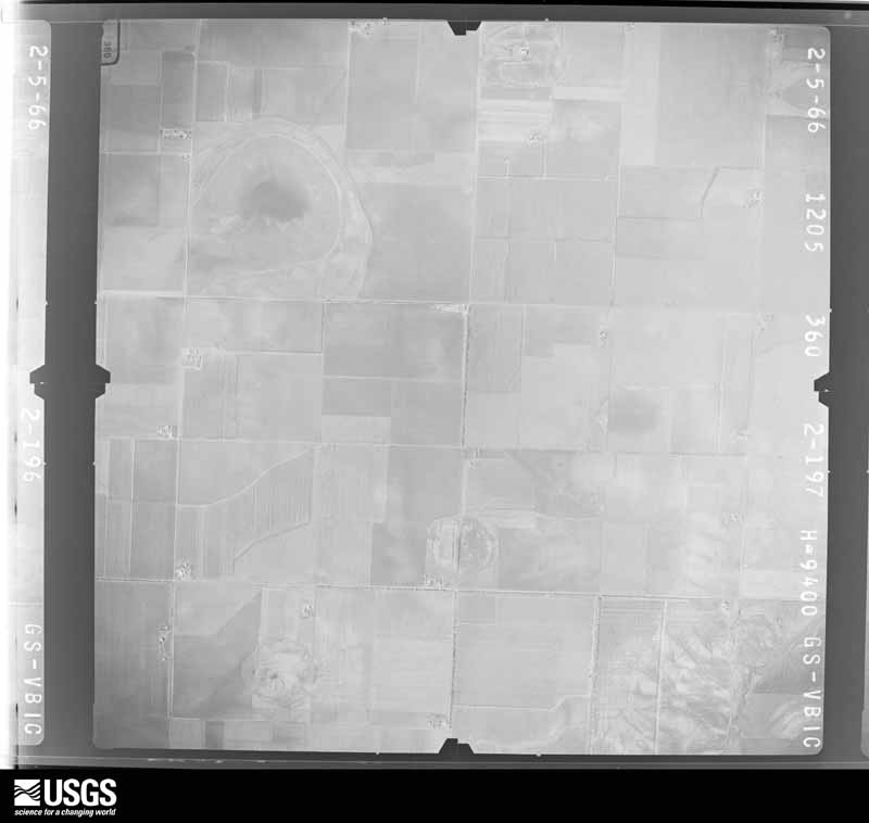
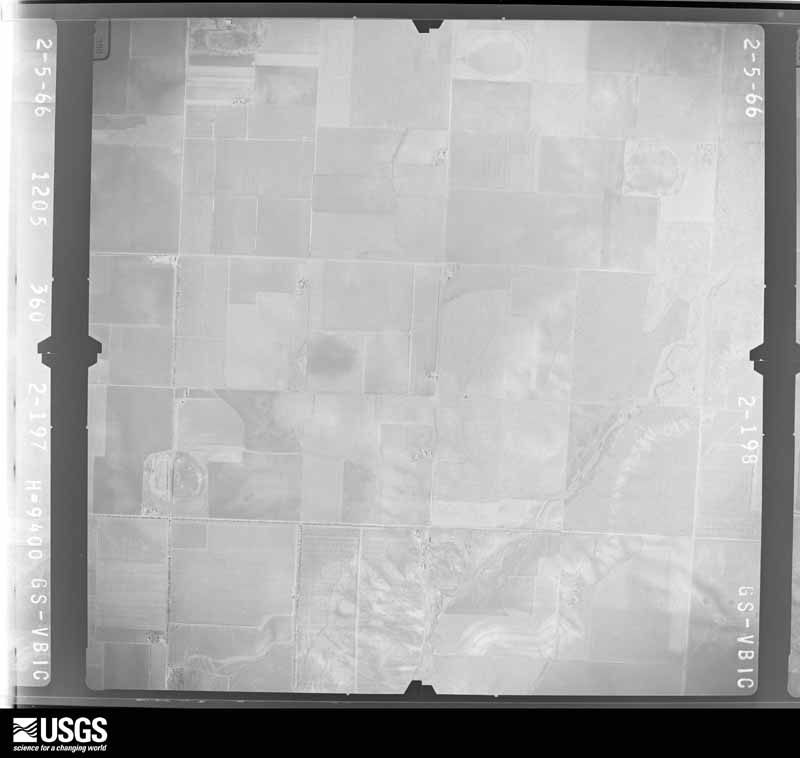
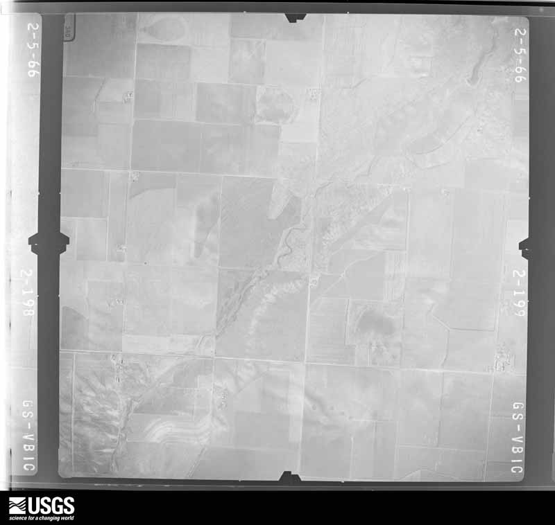
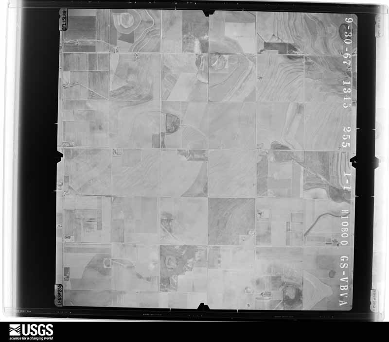
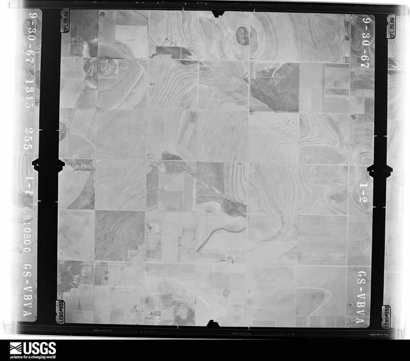
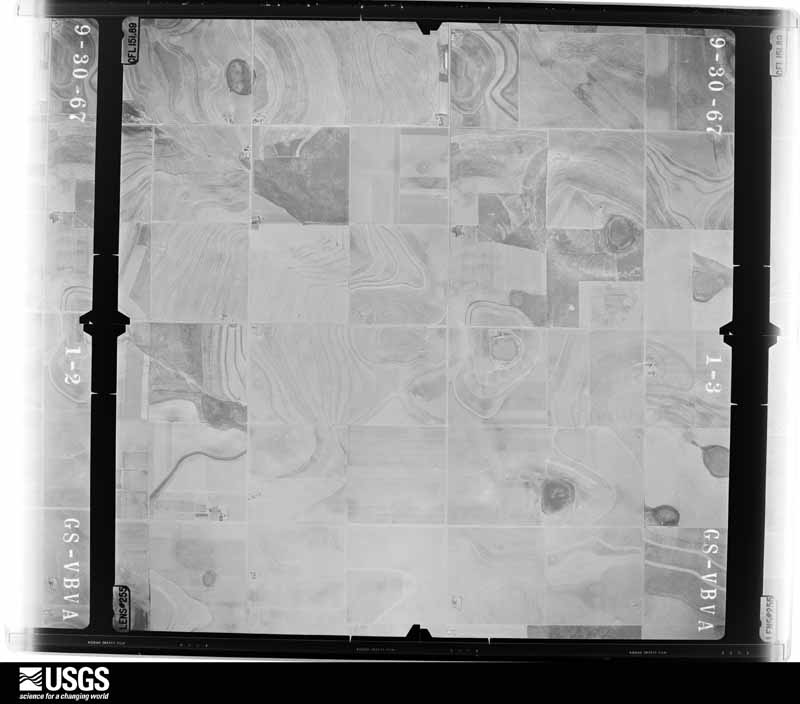
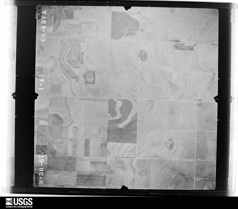
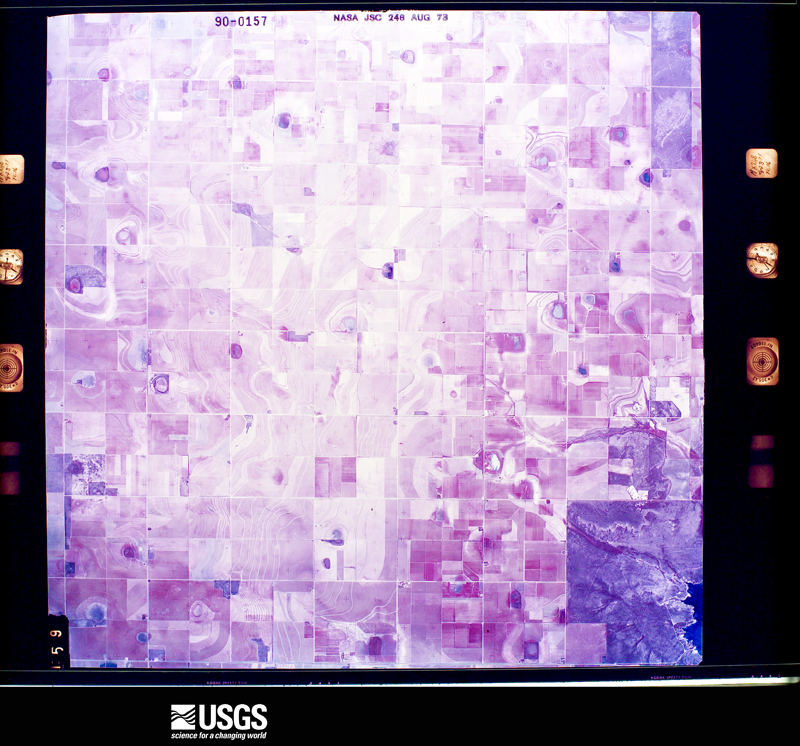
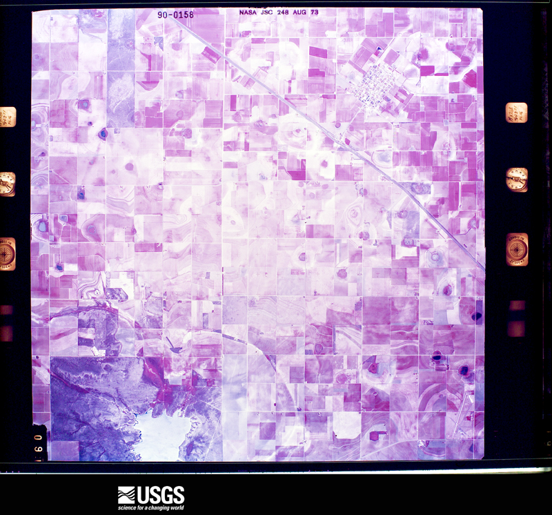
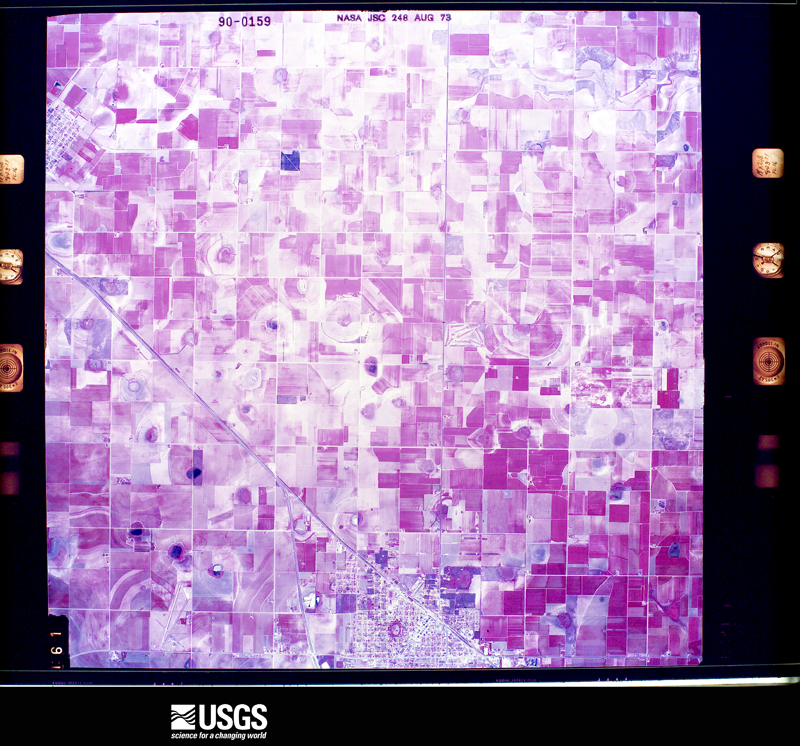
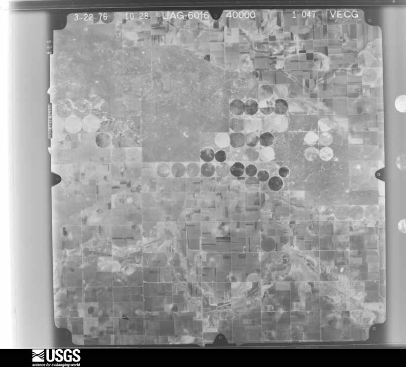
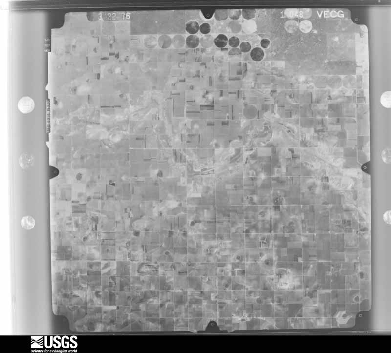
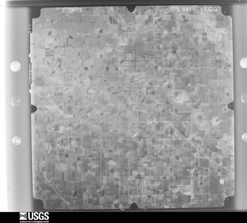
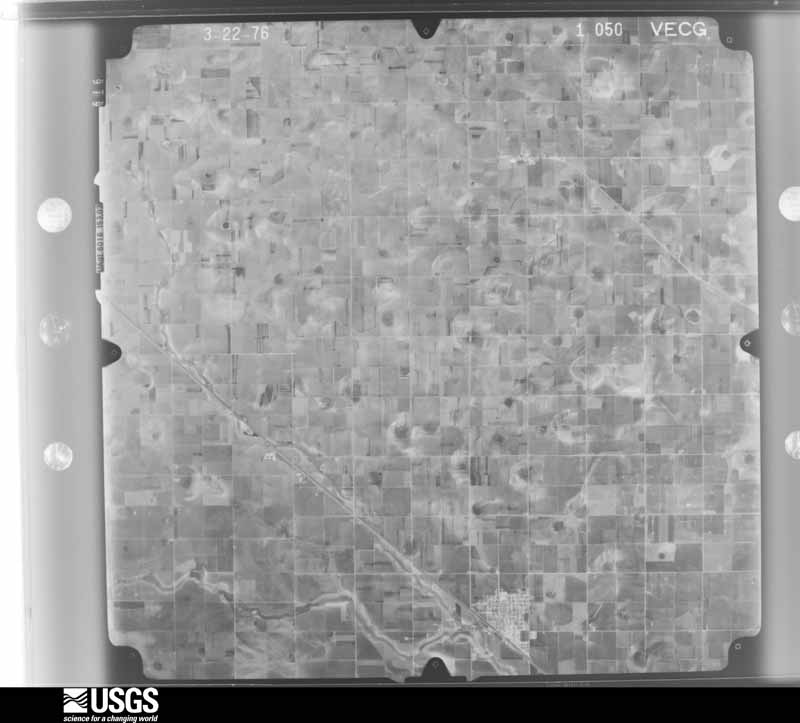
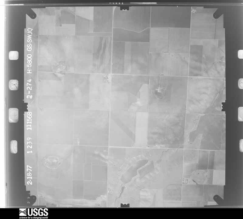
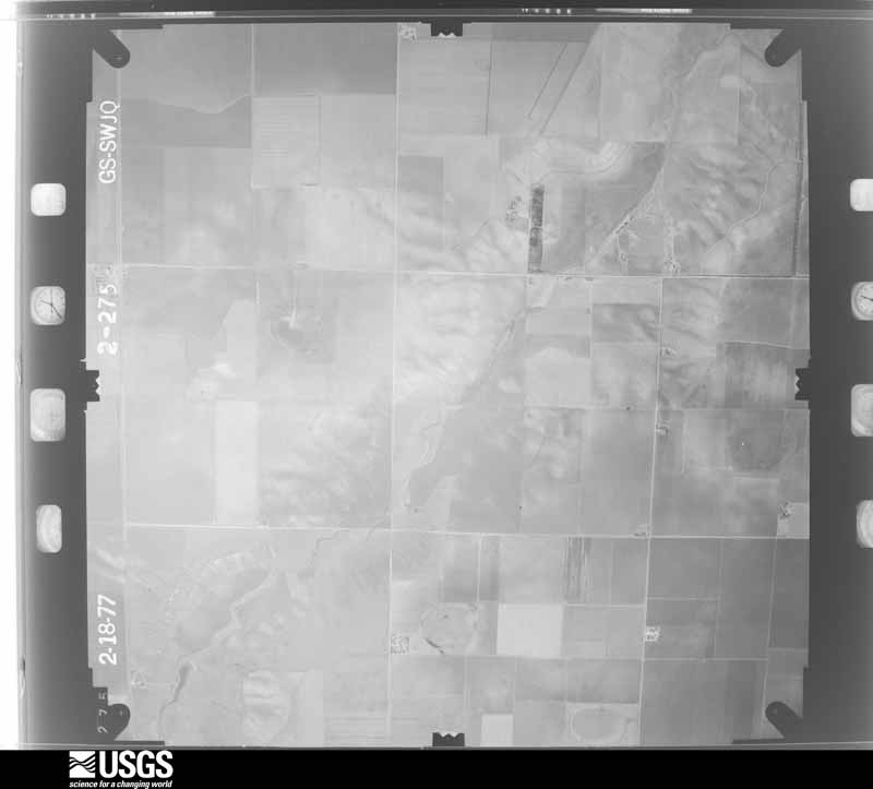
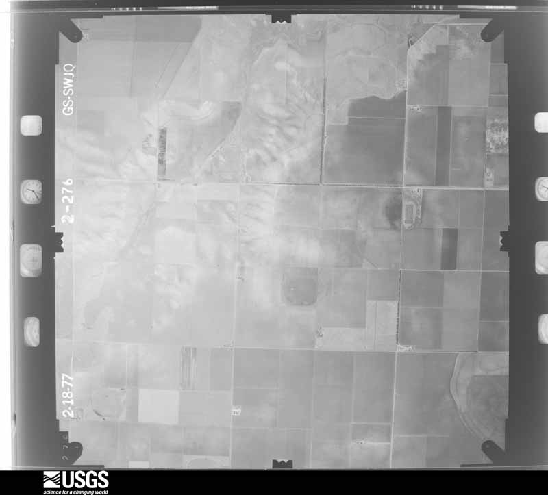
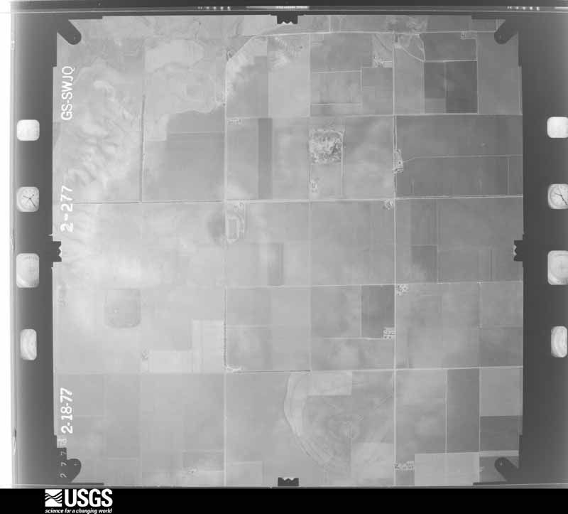
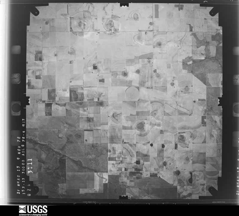
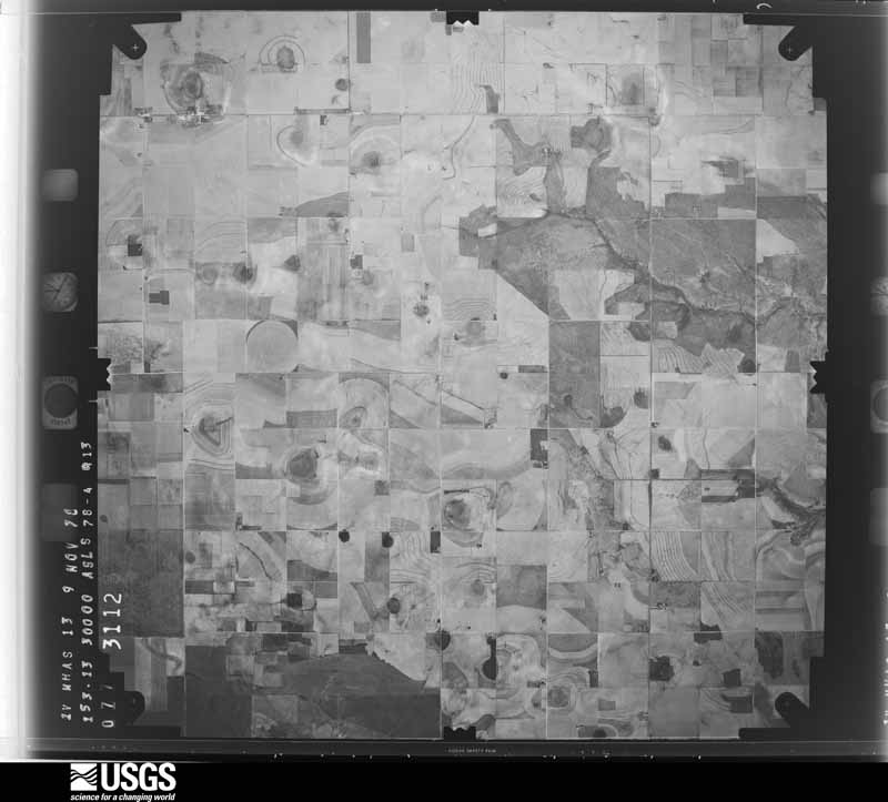
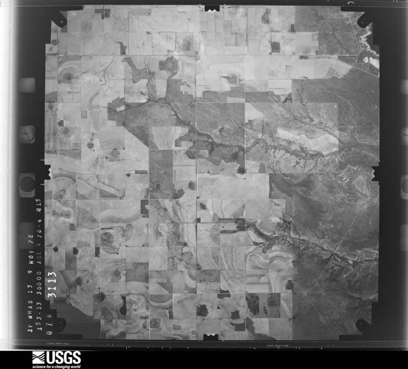
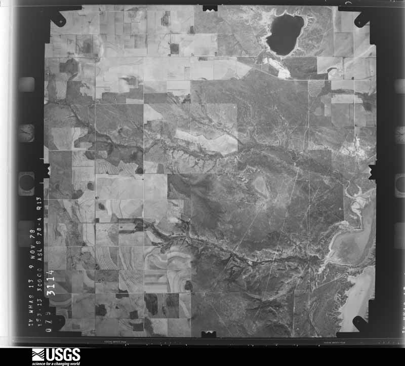
37 shownFlown by the U.S. Geological Survey between 1937 and 1989, the Aerial Photo Single Frames collection is the definitive mid-century view of the land: fields, roads and rivers as the camera saw them. The Survey holds 863 frames inside the rectangle that bounds this county; the 37 frames below were taken over the county itself, chosen across the decades of flights (at most four a year from that rectangle), so one flight cannot crowd out the rest. The full set is free to browse and download at EarthExplorer under the dataset Aerial Photo Single Frames.


Weather records
5 stationsThe thermometers that kept this county's weather, as the federal records hold them. The extremes below are measured values from those records, not estimates.
- LITTLEFIELD 1916 to 1966, hottest 43.3 C, coldest -25.6 C
- OLTON 1928 to 2026, hottest 43.3 C, coldest -21.7 C
- LITTLEFIELD 1966 to 2026, hottest 44.4 C, coldest -22.2 C
- LITTLEFIELD 5.9 S 2010 to 2019
- OLTON 0.2 W 2010 to 2026
The 1950 census, district by district
28 districtsWho lived here in 1950, one enumeration district at a time, as the Census Bureau described each district. Each row opens its official National Archives result, with Population Schedules and ED Maps available there.
- 140-1Commissioner's Precinct 1: Olton city: Olton city - That part Bounded by City limits; City limits; 6th extended, 6th, 6th extended; City limits
- 140-2Commissioner's Precinct 1: Olton city - That part Bounded by 6th extended, 6th, 6th extended; City limits; City limits; City limits
- 140-3Commissioner's Precinct 1 - That part north of U.S. Highway 70, outside Olton city
- 140-4Commissioner's Precinct 1 - That part south of U.S. Highway 70, outside Olton city
- 140-5Commissioner's Precinct 2: Earth city
- 140-6Commissioner's Precinct 2 - That part north of U.S. Highway 70, outside Earth city
- 140-7Commissioner's Precinct 2 - That part south of U.S. Highway 70, outside Earth and Sudan cities (Remainder of Commissioner's Precinct 2 is in Sudan city)
- 140-8Commissioner's Precinct 3: Littlefield city: Littlefield city - That part Bounded by City limits; City limits; Panhandle & Santa Fe Railway
- 140-9Commissioner's Precinct 3: Littlefield city - That part Bounded by City limits; U.S. Highway 84, Lake Ave.; 1st; City limits
- 140-10Commissioner's Precinct 3: Littlefield city - That part Bounded by City limits, Panhandle & Santa Fe Railway; Duggan Ave., U.S. Highway 84, Phelps Ave.; 6th; Ripley Ave., 3rd, Lake Ave., U.S. Highway 84
- 140-11Commissioner's Precinct 3: Littlefield city - That part Bounded by 1st; Lake Ave., 3rd, Ripley Ave.; 6th, West Side Ave., 7th, Sunset Ave., City limits; City limits
- 140-12Commissioner's Precinct 3: Littlefield city - That part Bounded by Panhandle & Santa Fe Railway; City limits; 9th; Duggan Ave.
- 140-13Commissioner's Precinct 3: Littlefield city - That part Bounded by U.S. Highway 84; Duggan Ave.; 9th; Morse Ave., 8th, Phelps Ave., 7th, XIT Dr., 6th, Phelps Ave.
- 140-14Commissioner's Precinct 3: Littlefield city - That part Bounded by 6th; XIT Dr., 7th, Phelps Ave., 8th, Morse Ave.; 9th, LFD Dr., 10th; Park Pai Ave., 8th, Lake Ave.
- 140-15Commissioner's Precinct 3: Littlefield city - That part Bounded by 7th, West Side Ave., 6th; Lake Ave., 8th, Park Pai Ave., 10th, Phelps Ave.; City limits; Sunset Ave.
- 140-16Commissioner's Precinct 3: Littlefield city - That part Bounded by 9th; City limits; City limits; Duggan Ave.
- 140-17Commissioner's Precinct 3: Littlefield city - That part Bounded by 10th, LFD Dr., 9t; Duggan Ave.; E. 13th; Phelps Ave.
- 140-18Commissioner's Precinct 3: Littlefield city - That part Bounded by E. 13th; Duggan Ave.; City limits; Phelps Ave.
- 140-19BCommissioner's Precinct 3 - That part south of Unnamed rd. extending from precinct line to County line; north of Unnamed rd. extending from County line to State Highway 51, east of State Highway 51 and north of Unnamed rd. extending from State Highway 51 to precinct line
- 140-19ACommissioner's Precinct 3 - That part north of Unnamed rd. extending from County line to precinct line
- 140-20Commissioner's Precinct 3 - That part south of State Highway 54, outside Littlefield city
- 140-21Commissioner's Precinct 4: Amherst city: Amherst city - That part Bounded by City limits; City limits; City limits; 7th extended, 7th, 7th extended
- 140-22Commissioner's Precinct 4: Amherst city - That part Bounded by 7th extended, 7th, 7th extended; City limits; City limits; City limits
- 140-23BSudan city - That part in Commissioner's Precinct 4 Bounded by Second Ave., Hay; City limits; City limits; City limits
- 140-23ASudan city - That part in Commissioner's Precinct 4 Bounded by Precinct line, City limits; City limits; Hay, 2nd Ave.; City limits
- 140-24Commissioner' Precinct 4 - That part north of State Highway 54, outside Amherst city and Sudan city
- 140-25Commissioner's Precinct 4 - That part south of State Highway 54 (Remainder of Commissioner's Precinct 4 is in Sudan city)
- 140-26Sudan city, comprising parts of Commissioner's Precincts 2 and 4: Sudan city - That part in Commissioner's Precinct 2 Bounded by City limits; City limits; Precinct line; City limits
Wildfire, 2006 to 2020
166 firesEvery wildfire the federal occurrence database records inside this county: 166 of them, burning about 50,379 acres. 48 started naturally and 8 were recorded as arson. Each settlement page carries the fires within five miles of it.
| Reported cause | Fires |
|---|---|
| Natural | 48 |
| Equipment and vehicle use | 33 |
| Missing data/not specified/undetermined | 32 |
| Debris and open burning | 27 |
| Power generation/transmission/distribution | 10 |
| Arson/incendiarism | 8 |
| Smoking | 5 |
| Railroad operations and maintenance | 3 |
The five largest, by the area the report gives. One of them was set deliberately.
| Date | Cause | Size | Reported by | Name on the report |
|---|---|---|---|---|
| 1 November 2017 | Missing data/not specified/undetermined | 15,000 acres | Texas A & M Forest Service | 2017097 |
| 26 May 2006 | Natural | 6,000 acres | Texas A & M Forest Service | HWY 37 |
| 28 June 2011 | Natural | 5,721 acres | Texas A & M Forest Service | WISEMAN COMPLEX / TOKE PLANT |
| 31 March 2010 | Missing data/not specified/undetermined | 3,000 acres | Texas A & M Forest Service | 1003311 |
| 4 August 2016 | Natural | 3,000 acres | Texas A & M Forest Service | 2016082 |
| 13 March 2010 | Arson/incendiarism | 2,300 acres | Texas A & M Forest Service | 1003131 |
| 15 December 2010 | Missing data/not specified/undetermined | 1,600 acres | Texas A & M Forest Service | PLEASANT VALLEY FIRE |
| 11 May 2011 | Natural | 1,200 acres | Texas A & M Forest Service | PLANT X FIRE |
Every settlement page carries the fires within five miles of it - see the settlement index below.
Storms, 1951 to 2026
60 of 528 shownThe NOAA Storm Events Database holds 528 reports for this county, causing no deaths, 10 injuries and about $32,508,480 in recorded property damage. Each settlement page carries the reports that name it.
| Kind of event | Reports |
|---|---|
| Hail | 247 |
| Thunderstorm Wind | 171 |
| Tornado | 88 |
| Flash Flood | 17 |
| Flood | 3 |
| Lightning | 1 |
| Heavy Rain | 1 |
The most serious of them, by death, then injury, then recorded damage. The accounts are quoted exactly as the forecast office filed them.
| When | Event | Place named | Harm | What the report says |
|---|---|---|---|---|
| April 1957 | Tornado (F4) | not stated | 3 hurt, $2,500,000 | no account filed |
| May 1957 | Tornado (F3) | not stated | 3 hurt, $250,000 | no account filed |
| May 1966 | Tornado (F2) | not stated | 2 hurt | no account filed |
| April 2007 | Tornado (EF2) | Fieldton | 1 hurt, $810,000 | A large and long-tracked tornado cut a path of damage twenty-nine miles in length and at times nearly three-quarters of a mile wide across portions of Lamb, Hale, Castro and Swisher Counties between 17:57 and 18:36 CST on the 21st. Total damages from the tornado were estimated to exceed $1.2 million, and one person was injured. |The development of this significant tornado was witnessed by storm chasers between Fieldton and Otlon at 17:57 CST. A National Weather Service damage survey team noted that the first damages to occur as a result of the tornado included five medium voltage power poles downed just east of the intersection of Farm to Market Road 168 and County Road 162. Just east of this location, the tops of five power poles were blown off to the north and two center pivot irrigation systems were overturned. One irrigation system was blown toward the west and another toward the northeast. |Farther to the northeast along the tornado's path, along County Road 152 just east of Farm to Market Road 168, two power poles were sheared off above the ground. At this location, a historic multi-story house that was originally constructed in 1913 suffered severe roof damage. A portion of the roof was blown off of the structure toward the southeast. The owners of the home were within days of completing a two year-long renovation. In addition, the skirting was removed from a mobile home across the street from the historic home. Several outbuildings near the residence also sustained minor damage.|The tornado continued northeastward and destroyed several more center pivot irrigation systems and snapped utility poles three to five feet above the ground along County Road 321. The tornado's damage path was measured at seven-tenths of a mile wide in this area. |As the tornadic circulation crossed U.S. Highway 70 two miles east of Olton, four homes were heavily damaged. Two well-built brick structures suffered total roof losses. The resident of one home, and elderly woman, suffered minor injuries while seeking shelter under a kitchen table. A number of light-weight medal structures were destroyed, along with three vehicles and several pieces of farm equipment. One family pet, a dog, was killed at one of the residences. |The tornado killed an unknown number of live-stock as it continued northeast of U.S. Highway 70. The damaging tornado crossed the Lamb and Hale County line at 18:10 CST.|The damages sustained by two of the well-built single-family residences, light-weight medal structures, and numerous utility poles support an EF-2 rating. Winds were estimated between 110 and 120 mph.| |
| July 2001 | Thunderstorm Wind | Fieldton | 1 hurt, $15,000 | Strong thunderstorm wind destroyed a large storage building, blew down power lines, and snapped two power poles. A man taking shelter from hail in the storage building was injured. An NWS storm survey indicated that the building was open-sided on the east, the direction from which the wind was blowing, which allowed the wind to enter the structure and lift it off of its foundation. |
| June 2017 | Hail | Sudan | $10,000,000 | An intense, slow-moving supercell tracked slowly southeast along and near U.S. Highway 84 causing significant damage along its 28-mile path, particularly in Amherst and Littlefield. Wind driven hail as large as softballs devastated home siding, shattered windows, punctured roofs in homes, and severely damaged vehicles. An estimated 1500 homes and buildings in Amherst and Littlefield sustained moderate to severe hail damage, with many rural homes and outbuildings also affected. Financially, the greatest losses were dealt to approximately 50,000 acres of corn, cotton and sorghum. Those crops that avoided the worst hail succumbed to torrential rains, flooding and wash outs. Total crop losses are estimated at approximately $20 million. Many farmers were determined to replant with 90-day corn or sorghum. |
| October 1971 | Tornado (F2) | not stated | $2,500,000 | no account filed |
| October 1971 | Tornado (F2) | not stated | $2,500,000 | no account filed |
| October 1971 | Tornado (F2) | not stated | $2,500,000 | no account filed |
| October 1971 | Tornado (F2) | not stated | $2,500,000 | no account filed |
| April 1957 | Tornado (F2) | not stated | $2,500,000 | no account filed |
| April 1957 | Tornado (F2) | not stated | $2,500,000 | no account filed |
| June 2003 | Thunderstorm Wind | Olton | $500,000 | Strong thunderstorm wind uprooted trees, downed power lines and power poles, damaged the roofs of homes, and destroyed 15 center pivot irrigation systems. |
| May 2002 | Hail | Littlefield | $250,000 | Spotters with the Littlefield FD reported golfball to baseball size hail in town. |
| May 1991 | Tornado (F3) | not stated | $250,000 | no account filed |
| July 1951 | Tornado (F2) | not stated | $250,000 | no account filed |
| May 2019 | Tornado (EF2) | Earth | $150,000 | A NWS storm survey revealed tornado damage in several locations in Lamb County. The first noted damage was just south of the intersection of US Highway 70 and Farm to Market Road 303. At this location, EF0 damage was observed with two center pivot irrigation systems tipped over. Also, large tree branches of diameter one to three inches were broken. The most significant damage was discovered just north of the intersection of US Highway 70 and County Road 99. An electrical transmission line was snapped at the base which indicates EF2 damage. |
| August 2011 | Thunderstorm Wind | Olton | $150,000 | A broadcast media automated weather station at Del-Tex Airport in Olton measured a wind gust to 69 mph. Significant wind damage was reported in Olton by the emergency manager. Several power lines and trees were downed along with roof damage. |
| June 2010 | Thunderstorm Wind | Olton | $150,000 | The Texas Tech University West Texas Mesonet site south of Olton recorded thunderstorm wind gusts of 76 mph and 75 mph at 15:23 CST and 15:29 CST respectively. These winds occurred as a severe thunderstorm quickly moved northeastward over extreme western Hale County. The outflow winds spread northwestward and impacted portions of eastern Lamb County near Olton. Eye-witness accounts suggest that gustnadoes may have spun-up along the gust front as it raced north-northwestward in advance of the parent anticyclonic (left) splitting storm. The winds, or perhaps an associated gustnado, caused significant damage at a residence in the community of Correy. Stucco siding and roof shingles were blown off of the structure. The U.S. Department of Agriculture additionally reported that a center pivot irrigation system also was destroyed. No injuries were reported. |
| October 2003 | Hail | Amherst | $150,000 | The public reported golfball to baseball size hail in and around town. The hail damaged homes and buildings, knocked out windows, and damaged vehicles. The storm also resulted in significant crop damage between Sudan and Amherst. |
| May 1998 | Hail | Olton | $150,000 | no account filed |
| June 2010 | Thunderstorm Wind | Sudan | $125,000 | A National Weather Service post-storm survey revealed that damaging thunderstorm winds destroyed a center-pivot irrigation system just south of U.S. Highway 70 north of Sudan. The event time is estimated based on Doppler radar data. |
| June 2016 | Thunderstorm Wind | Littlefield | $100,000 | A trained spotter in Littlefield measured a gust to 75 mph with an anemometer mounted on top of his barn. Furthermore, numerous power poles were downed to the east and south of Littlefield due to high winds. |
| May 2010 | Thunderstorm Wind | Springlake | $100,000 | Severe thunderstorm winds destroyed a well house, uprooted a tree, and blew over a center pivot irrigation system on a farmstead west of U.S. Highway 385 southwest of Springlake. No injuries were reported. |
| June 2002 | Hail | Littlefield | $100,000 | The Littlefield PD reported golfball size hail. |
| May 2001 | Hail | Littlefield | $100,000 | Storm spotters reported golfball size hail. The wind-driven hail devastated crops. |
| June 1999 | Flash Flood | Countywide | $100,000 | Flood waters in Littlefield (after 5 inches of rain fell) stranded cars and damaged several homes. Parts of US 84, US 385, and Highway 168 were closed. |
| August 2018 | Thunderstorm Wind | Bainer | $80,000 | Several trees, fences and about 20 utility poles were damaged. |
| September 2006 | Thunderstorm Wind | Spade | $75,000 | An irrigation center pivot was destroyed by severe thunderstorm winds just northwest of Spade. |
| May 2002 | Thunderstorm Wind | Littlefield Muni Arp | $75,000 | A meteorologist with the High Plains Underground Water Conservation District reported 71mph thunderstorm wind gusts. These strong outflow winds destroyed a trailer house, damaged the roofs of several homes, downed power lines and snapped power poles within two miles of the airport on Farm-to-Market Road 54. Some of this damage may have been the result of locally enhanced winds due to a strong gustnado (a brief, shallow eddy not extending to the thunderstorm cloudbase) that developed along the leading edge of the thunderstorm outflow. |
| June 1999 | Lightning | Olton | $60,000 | Lightning struck a house and caused a fire, which totally destroyed the home and all its contents. |
| July 2004 | Thunderstorm Wind | Littlefield | $50,000 | Strong thunderstorm wind damaged the roof of a shopping plaza in town. |
| October 2003 | Thunderstorm Wind | Amherst | $50,000 | Strong thunderstorm wind gusts damaged the roofs and siding of several homes. |
| May 2002 | Hail | Olton | $50,000 | Storm spotters affiliated with the Olton FD reported golfball size hail. |
| May 2001 | Hail | Littlefield | $50,000 | Amateur radio storm spotters reported golfball size hail. |
| May 1994 | Thunderstorm Wind | El Paso | $50,000 | Severe thunderstorm winds caused damage in parts of El Paso. A roof was partially ripped off a two-story building; the flying debris damaged two nearby cars. Several street light poles were knocked down along a main street. Trees and some power poles were downed in several parts of the city. Heavy rains caused some flash flooding, especially in the southeast part of El Paso where water was reportedly up to windshield level on some cars. |
| December 1993 | Thunderstorm Wind | Littlefield | $50,000 | no account filed |
| April 2004 | Flash Flood | Sudan | $30,000 | Several vehicles were stranded in high water in and around town. Some roads were briefly closed due to the flooding. |
| April 2004 | Flash Flood | Sudan | $30,000 | Locally heavy rainfall in Sudan flooded several streets in and around town. Highway 84 was closed due to flooding. Several cars were stranded in the flood water. |
| June 2014 | Thunderstorm Wind | Amherst | $26,000 | Texas Tech University West Texas Mesonet stations measured wind gusts ranging from 58 mph south of Olton to 81 mph near Amherst. Damage was noted to about a dozen power poles and a few dilapidated outbuildings. |
| June 2016 | Thunderstorm Wind | Olton | $25,000 | A Texas Tech University West Texas mesonet site near Olton measured a wind gust to 75 mph. Furthermore, a NWS cooperative weather observed several power poles down along US Highway 84 southeast of Littlefield. |
| June 2008 | Hail | Earth | $25,000 | Law enforcement officials reported giant softball size hail near U.S. Highway 70 west of Earth, just east of the Bailey and Lamb County line. The hail damaged several vehicles and a few rural residences. |
| April 2007 | Hail | Olton | $25,000 | A swath of very large hail up to the size of baseballs began in the Olton vicinity, and damaged roofs, windows and vehicles east of Olton along U.S. Highway 70. Several storm chasers received damage to their vehicles near the Lamb and Hale County line as they observed a developing tornado to their southwest. In addition, moderate agricultural losses were caused by damage to young cotton crops. |
| April 2001 | Hail | Sudan | $25,000 | Golfball size hail was reported by law enforcement officials. |
| June 2000 | Hail | Littlefield | $25,000 | Large hail destroyed several thousand acres of cotton. |
| June 2000 | Hail | Littlefield | $25,000 | Large hail destroyed several thousand acres of cotton. |
| May 1999 | Hail | Springlake | $25,000 | no account filed |
| May 1990 | Tornado (F2) | not stated | $25,000 | no account filed |
| September 1973 | Tornado (F1) | not stated | $25,000 | no account filed |
| May 1969 | Tornado (F0) | not stated | $25,000 | no account filed |
| May 1969 | Tornado (F3) | not stated | $25,000 | no account filed |
| October 1969 | Tornado (F2) | not stated | $25,000 | no account filed |
| June 1965 | Tornado (F4) | not stated | $25,000 | no account filed |
| June 1961 | Tornado (F3) | not stated | $25,000 | no account filed |
| May 2008 | Thunderstorm Wind | Littlefield | $20,000 | A swath of severe winds accompanied a complex of thunderstorms over central and northeastern portions of Lamb County during the evening hours of the 25th. A 59 mph wind gust was initially recorded by the Texas Tech University West Texas Mesonet site near Amherst at 17:50 CST. A wind gust up to 66 mph also was recorded by the Texas Tech University West Texas Mesonet south of Olton at 18:35 CST. Local officials and newspapers additionally reported light damage in the city of Littlefield. A fence was blown down at the Littlefield High School, and a roof was partially blown off of a building. Several power lines also were blown down. Widespread blowing dust also accompanied the winds. |
| March 2007 | Thunderstorm Wind | Littlefield | $20,000 | Law enforcement officials reported that thunderstorm winds downed power lines in the Earth and Littlefield vicinities. The Texas Tech University West Texas Mesonet site south of Olton additionally recorded a severe thunderstorm wind gust of 60 mph as the storms quickly moved northeastward through northeastern Lamb County. | |
| June 1997 | Thunderstorm Wind | Littlefield | $20,000 | no account filed |
| July 2017 | Thunderstorm Wind | Hart Camp | $15,000 | A series of downbursts tracked south through portions of Lamb County accompanied by a wall of dust. These winds overturned a few center pivots along Highway 385 between Springlake and Littlefield. Winds were measured as high as 64 mph at 1920 CST by a Texas Tech University West Texas mesonet near Amherst. Another mesonet near Olton measured wind gusts to 62 mph and 59 mph at 1914 CST and 1935 CST, respectively. |
| August 2008 | Thunderstorm Wind | Amherst | $15,000 | The public estimated that thunderstorm wind gusts near 70 mph accompanied very heavy rainfall in Amherst around 16:15 CST. These estimates were confirmed by a nearby Texas Tech University West Texas Mesonet station which measured a 73 mph gust just east of the town. At least one irrigation pivot was destroyed by the winds north of Amherst. |
| June 2003 | Thunderstorm Wind | Amherst | $15,000 | Strong thunderstorm wind blew down several utility poles. |
Mines and quarries
2 recordedThe Survey's mineral resources record lists 2 workings inside this county. All of them still produce. Each settlement page carries the workings within five miles of it.
| Commodity | Workings |
|---|---|
| Stone, Crushed/Broken | 2 |
The least common of them first, because a county's hundredth gravel pit says nothing its first ten did not.
| Where | Site | Commodity | Status | Recorded |
|---|---|---|---|---|
| Bull Lake Pit | Stone, Crushed/Broken | Producer | ||
| Littlefield Pit | Stone, Crushed/Broken | Producer |
Every populated place in the county
17Named settlements recorded in the Geographic Names Information System, each with the topographic sheets covering it. Villages, hamlets and abandoned places alike. Each is shown with the nearest named watercourse or landform and the survey quadrangle it falls on.
Provenance
- Topographic sheets. USGS Historical Topographic Map Collection, county index, measured from the bulk metadata.
- Fire insurance maps. Library of Congress Sanborn collection, faceted to this county.
- Photographs. Each place queried individually against the Library of Congress Prints and Photographs search.
- Wildfire. Short, Karen C. 2022. Spatial wildfire occurrence data for the United States, 1992-2020 [FPA_FOD_20221014]. 6th Edition. Fort Collins, CO: Forest Service Research Data Archive. https://doi.org/10.2737/RDS-2013-0009.6 Collected with United States Government funding and usable without additional permissions or fees.
- Mines and quarries. USGS Mineral Resources Data System (MRDS) https://mrdata.usgs.gov/mrds/ A work of the United States government, no copyright under 17 U.S.C. 105.
- Storms. NOAA National Centers for Environmental Information, Storm Events Database https://www.ncei.noaa.gov/stormevents/ A work of the United States government, no copyright under 17 U.S.C. 105. Narratives are quoted verbatim from the National Weather Service report and are not edited or summarised.