 Block
BlockFrom the record
6 National Register listings published here.
Sources: the National Register database, National Park Service
44 topographic sheets cover 18 settlements here, and 6 properties are on the National Register of Historic Places.
6 National Register listings published here.
Sources: the National Register database, National Park Service
Every property in this county listed on the National Register of Historic Places, with the year it was listed and the federal nomination document.
| Photograph | Property | Type | Listed | Reference |
|---|---|---|---|---|
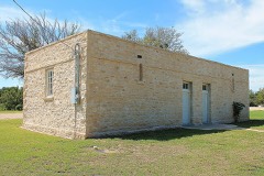 | Lampasas Colored School | building | 2002 | 02000404 |
 | Lampasas County Courthouse | building | 1971 | 71000944 |
| Lampasas Downtown Historic District | district | 2004 | 03001540 | |
 | Markward Homestead | building | 2016 | 16000719 |
 | Phillips and Trosper Buildings | building | 1987 | 87000676 |
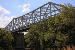 | US 190 Bridge at the Colorado River | structure | 1996 | 96001125 |
Drawn when these were printed as single large sheets: the town seen from the air, and the county divided into its farms with every owner named. Each opens the original at the Library of Congress.

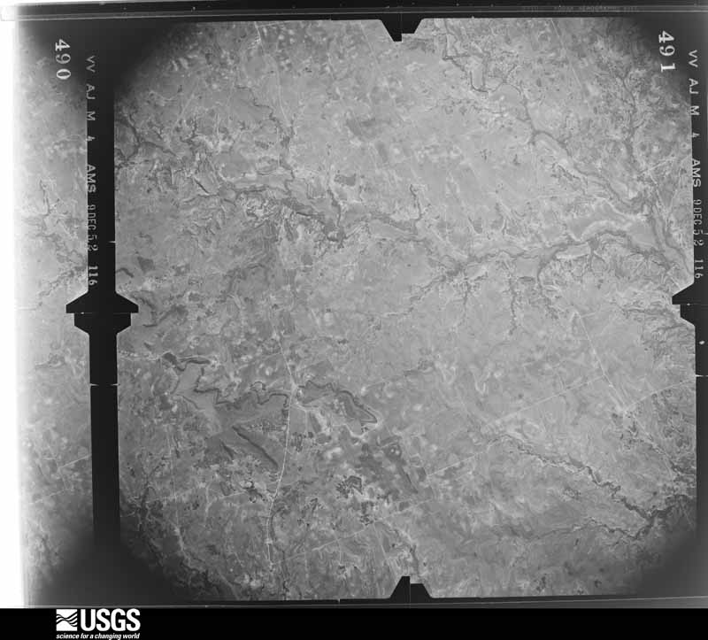
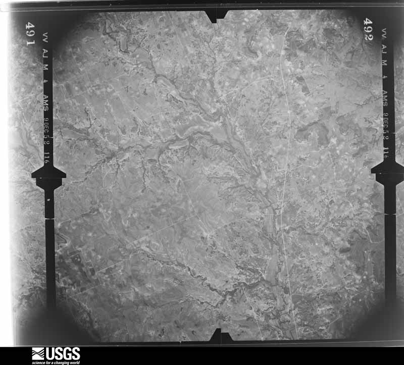
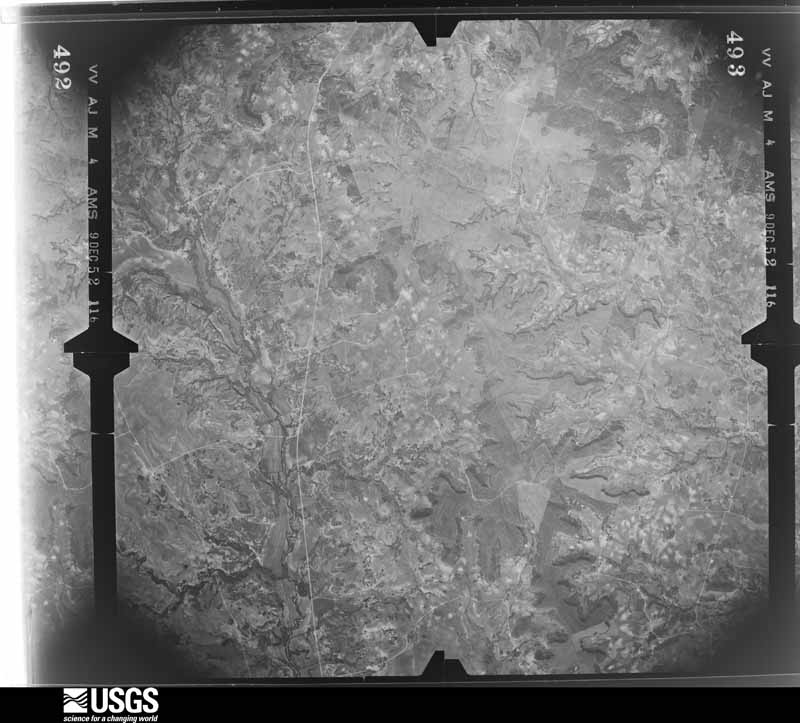
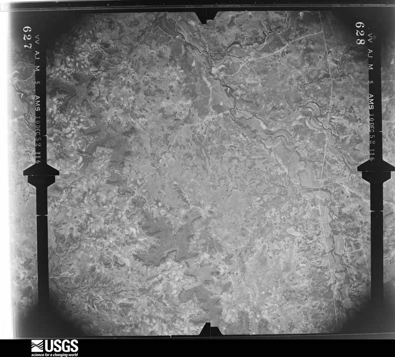
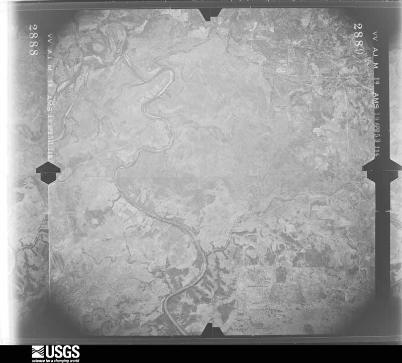
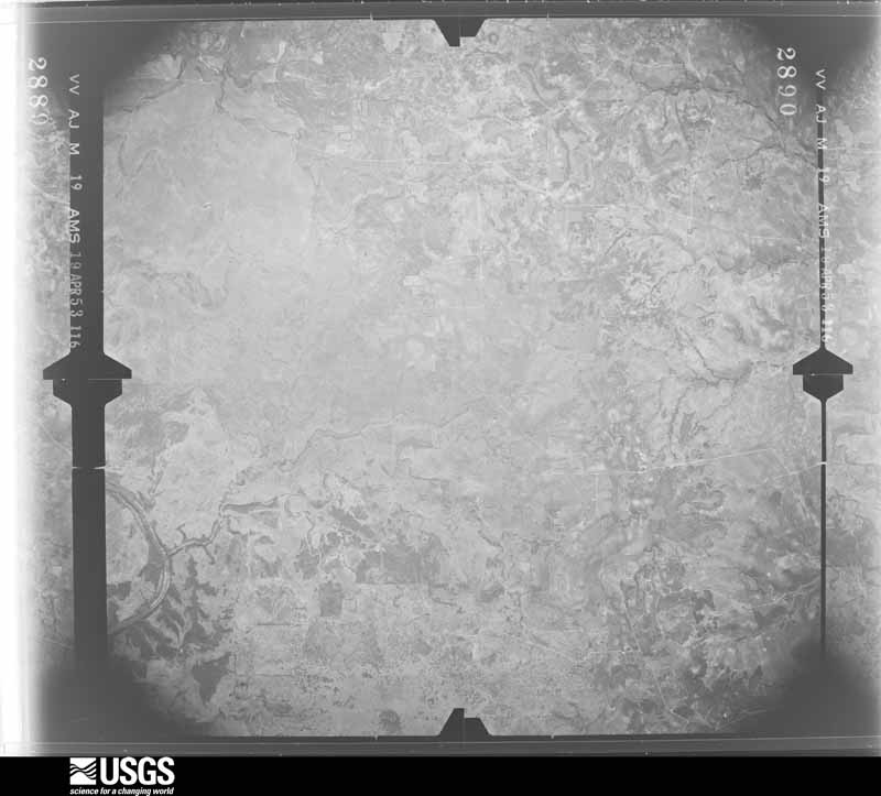
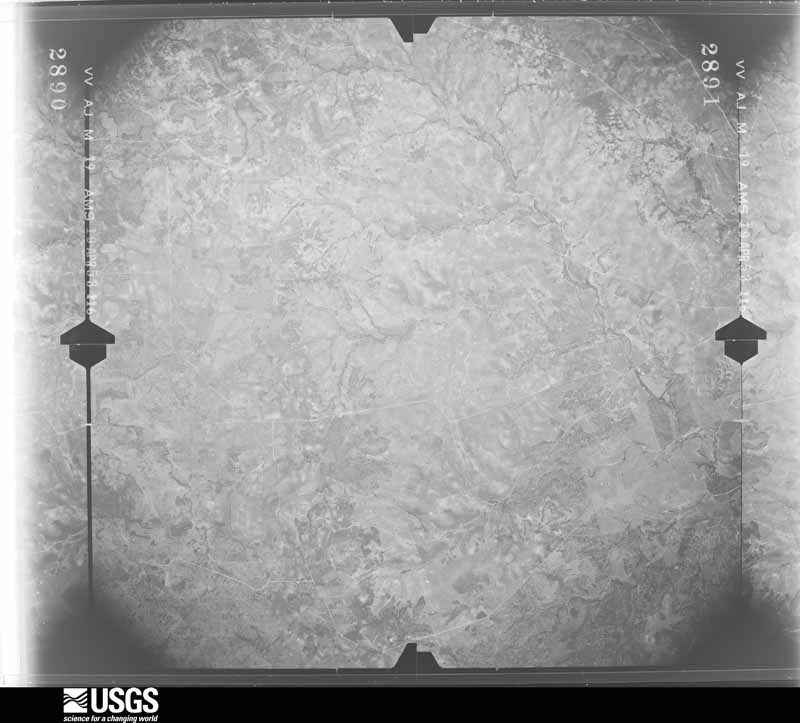
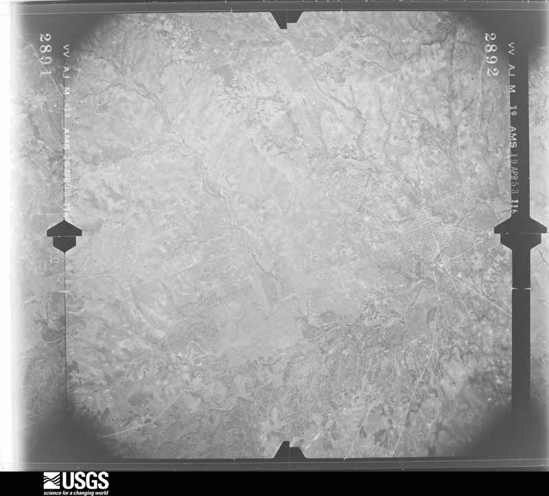
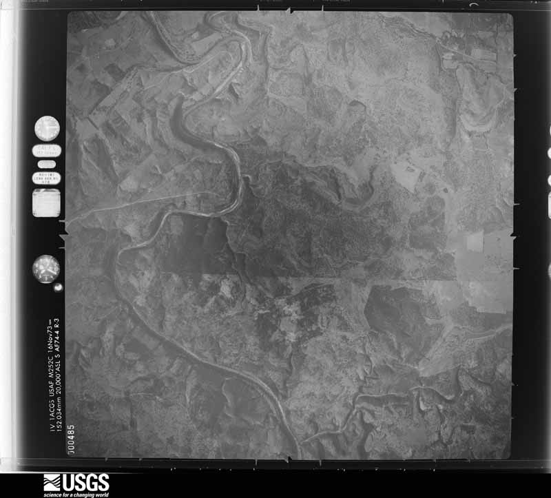
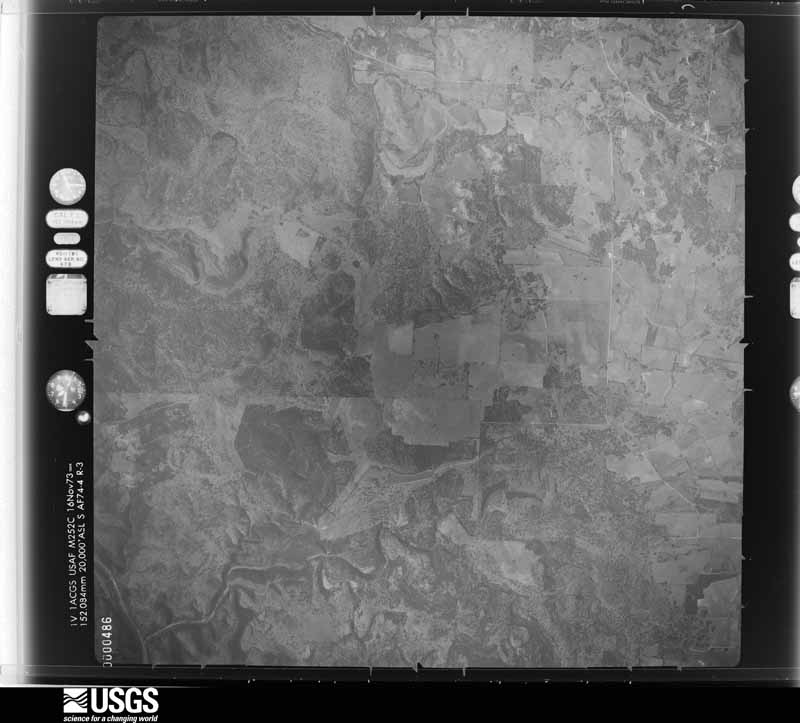
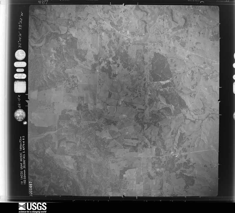
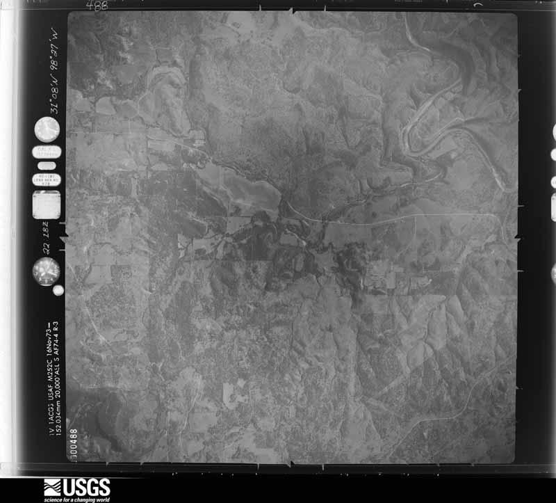
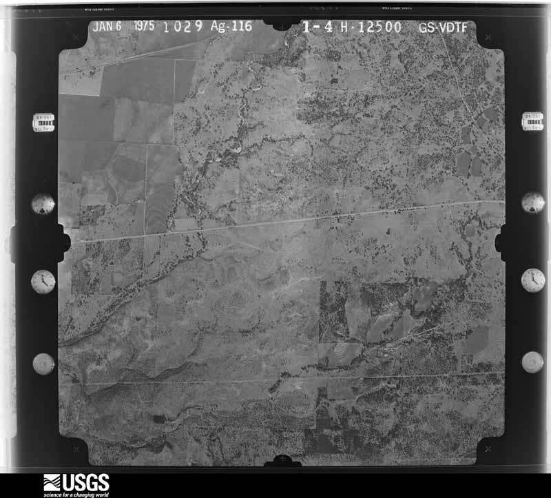
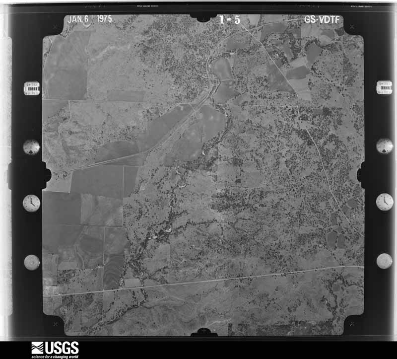
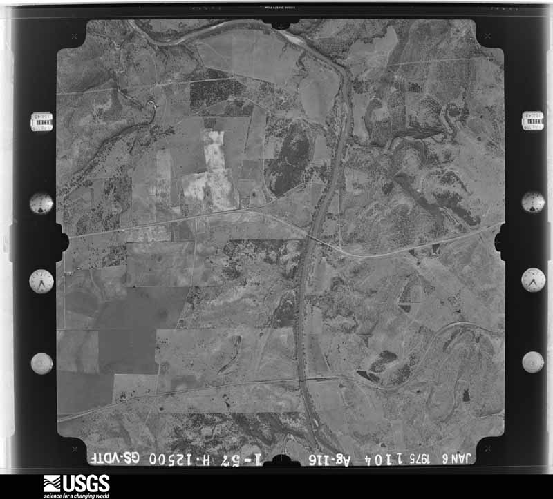
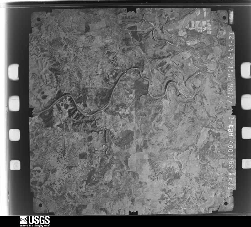
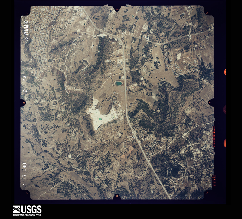
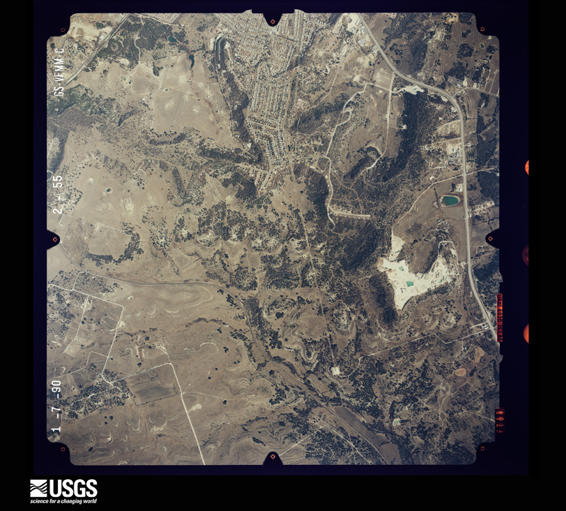
Flown by the U.S. Geological Survey between 1937 and 1989, the Aerial Photo Single Frames collection is the definitive mid-century view of the land: fields, roads and rivers as the camera saw them. The Survey holds 560 frames inside the rectangle that bounds this county; the 26 frames below were taken over the county itself, chosen across the decades of flights (at most four a year from that rectangle), so one flight cannot crowd out the rest. The full set is free to browse and download at EarthExplorer under the dataset Aerial Photo Single Frames.








The thermometers that kept this county's weather, and the gages that measured the flow of its streams, as the federal records hold them. The extremes below are measured values from those records, not estimates.
Who lived here in 1950, one enumeration district at a time, as the Census Bureau described each district. Each row opens its official National Archives result, with Population Schedules and ED Maps available there.
Every wildfire the federal occurrence database records inside this county: 279 of them, burning about 9,296 acres. 7 started naturally and 3 were recorded as arson. Each settlement page carries the fires within five miles of it.
| Reported cause | Fires |
|---|---|
| Debris and open burning | 119 |
| Missing data/not specified/undetermined | 113 |
| Equipment and vehicle use | 16 |
| Railroad operations and maintenance | 9 |
| Smoking | 7 |
| Natural | 7 |
| Power generation/transmission/distribution | 4 |
| Arson/incendiarism | 3 |
| Recreation and ceremony | 1 |
The five largest, by the area the report gives. None of them was recorded as arson.
| Date | Cause | Size | Reported by | Name on the report |
|---|---|---|---|---|
| 8 August 2006 | Missing data/not specified/undetermined | 1,250 acres | Texas A & M Forest Service | MONAHAM FIRE |
| 13 August 2012 | Natural | 1,150 acres | Texas A & M Forest Service | LOMETA RANCH FIRE |
| 22 January 2011 | Debris and open burning | 600 acres | Texas A & M Forest Service | F.M. 1690 |
| 5 July 2005 | Debris and open burning | 300 acres | Texas A & M Forest Service | OAK VALLEY |
| 25 July 2018 | Missing data/not specified/undetermined | 262 acres | Texas A & M Forest Service | UNDERWOOD |
| 23 October 2019 | Equipment and vehicle use | 256 acres | Texas A & M Forest Service | OESTREICH |
| 22 July 2008 | Missing data/not specified/undetermined | 214 acres | Texas A & M Forest Service | SPIVEY |
| 20 July 2011 | Missing data/not specified/undetermined | 202 acres | Texas A & M Forest Service | ADAMSVILLE FIRE |
Every settlement page carries the fires within five miles of it - see the settlement index below.
The NOAA Storm Events Database holds 244 reports for this county, causing no deaths, 7 injuries and about $7,584,750 in recorded property damage. Each settlement page carries the reports that name it.
| Kind of event | Reports |
|---|---|
| Hail | 113 |
| Thunderstorm Wind | 77 |
| Flash Flood | 34 |
| Tornado | 15 |
| Flood | 3 |
| Lightning | 1 |
| Heavy Rain | 1 |
The most serious of them, by death, then injury, then recorded damage. The accounts are quoted exactly as the forecast office filed them.
| When | Event | Place named | Harm | What the report says |
|---|---|---|---|---|
| May 1994 | Thunderstorm Wind | Lometa | 6 hurt, $5,000,000 | A downburst that caused F2-like damage hit Lometa and areas up to three miles to the east. Wind speeds were estimated at 115 mph by the survey team, based on the damage pattern. Virtually every structure in town received damage, either from high winds or wind-driven baseball-size hail. The damage path through Lometa was north-to-south with buildings facing north having paint sand-blasted off from the wind. One house, one mile east of Lometa, had holes in steel siding from wind-driven hail. Trees three to four feet in diameter were blown down. On the west side of town, a tractor-semitrailer was blown over and pushed 20 feet before coming to rest. One mobile home, which was tied down, was not blown over by the wind, but in the center of the mobile home, where there were no tie downs, the damage was severe. The mobile home was still destroyed, but there were no injuries as the residents had taken shelter elsewhere before the storm struck. |
| June 2007 | Tornado (EF0) | Kempner | 1 hurt, $100,000 | Several modular homes were damaged as a brief tornado touched down off of FM 2657, on Sleepy Hollow Lane and Carroll Drive, just inside the Lampasas County line. Homes sustained roof and deck damage and a few were blown slightly off their foundations. Trees and fences were also torn down. One minor injury was reported when a woman was hit by flying debris. Eighteen residents were displaced. The tornado continued into Coryell County. |
| May 1994 | Hail | Lometa | $500,000 | The severe thunderstorm which struck Lometa was accompanied by wind-driven golf ball to baseball-size hail. Considerable damage was reported on the north side of structures, with penetration of roofs and even steel siding in one instance. Crops in the area of the wind-driven hail were destroyed. |
| April 2016 | Flood | Lampasas | $300,000 | Late newspaper reports indicated emergency personnel rescued nine people for high water after several residences were flooded by rain and heavy rain over the past few days. Approximately nine people were pulled from the flood waters. Water forced at least five additional persons to be displaced due to the flood. |
| May 2007 | Flash Flood | Lampasas | $300,000 | Flooding was reported along Highways 183 and 190 near the city. Water was as high as four feet on Highway 183. Evacuations were required near Mesquite Creek. Numerous low water crossings were barricaded. About twenty apartments and several homes were damaged by high water and deemed unihabitable. Many of the residents lost most of their possessions. In addition, the School Creek Bridge was washed away, with the road closed indefinitely. |
| March 2010 | Thunderstorm Wind | Lampasas | $175,000 | A building on Highway 190 E, east of Lampasas, was heavily damaged by high winds. The building suffered partial roof loss and partially collapsed walls. Seven units at a nearby storage facility were also damaged by 2x6 timbers and debris from the building. Timbers were also driven into a nearby double-wide mobile home, and a window was broken out at the residence. Some timbers were sticking up out of the ground around the residence. One 50-60' tall elm tree near the home was snapped in half and fell on a car. Only minor dents were sustained to the car. Also nearby, a fireworks stand was destroyed. |
| May 2015 | Tornado (EF1) | Rumley | $85,000 | A National Weather Service damage survey team found evidence of a tornado approximately four miles to the northwest of Kempner. This tornado occurred nearly simultaneously with a tornado near Lampasas. This tornado produced damage to several buildings, including two houses where large sections of roof damage. |
| March 2010 | Thunderstorm Wind | Lampasas | $75,000 | A 60 foot tall oak tree was uprooted and crashed into a residence on 4th street in Lampasas. The house was significantly damaged. Also in Lampasas, the roof was blown off a portable building at the Lampasas Middle School. |
| May 2008 | Thunderstorm Wind | Lampasas | $75,000 | Trees were blown over and uprooted and roofs and fences were damaged. |
| March 2016 | Tornado (EF0) | Lampasas Arpt | $60,000 | The Lampasas County Emergency Manager reported damage from an observed tornado approximately thirteen miles north of the city of Lampasas. While occurring mainly over open ranch land, the tornado first occurred near U.S. 281, before moving east for about a mile. Tree damage was along the path, and one structure was damaged. |
| April 2016 | Hail | Lampasas | $50,000 | Golf ball sized hail fell in the city of Lampasas. |
| April 2009 | Flash Flood | Lampasas Arpt | $50,000 | Numerous roads across the northern half of the county were closed due to water over the road. The water was several inches to a foot deep in some areas. |
| March 2007 | Flash Flood | Lampasas | $50,000 | Numerous roads including Highway 190 was closed with water over it. A swift water rescue was required when a woman and two toddlers were trapped with waist-high water in the house. Severals cars and trucks were stranded and the occupants needed rescuing. |
| August 1998 | Thunderstorm Wind | Kempner | $50,000 | High winds unroofed a church, damaged a nursing home and a house, uprooted trees and blew over a fruit stand. |
| May 1994 | Thunderstorm Wind | not stated | $50,000 | Thunderstorm winds damaged the roofs of three houses, destroyed a storage shed and a chicken barn, and carried a large gasoline storage tank 300 yards. Many trees were uprooted in the area. |
| April 2014 | Hail | Adamsville | $40,000 | Lampasas County Sheriff's Deputies reported golf ball sized hail north of Lampasas. |
| May 2015 | Tornado (EF1) | Rumley | $35,000 | A National Weather Service damage survey team found evidence of brief tornado approximately four miles northeast of the city of Lampasas. The tornado damage several trees, and removed a large part of a roof of the only house the tornado impacted. |
| June 2015 | Heavy Rain | Lampasas | $30,000 | Rain slick roads contributed to the crash of a school bus at U.S. Highway 281 and U.S. Highway 190 in Lampasas. No one was injured. |
| May 2014 | Thunderstorm Wind | Lampasas | $30,000 | A roof was blown off a house to the east of Lampasas. Trees were also uprooted and power lines were knocked down. |
| June 2004 | Thunderstorm Wind | Lampasas | $30,000 | There was heavy damage to Builders Mart and a brick wall was blown down onto a late model vehicle. Trees were blown down on CR 2001 on the west side of Lampasas and near Adamsville. |
| June 2014 | Hail | Kempner | $25,000 | Hen egg sized hail in Kempner damaged vehicles. |
| June 2009 | Thunderstorm Wind | Lampasas | $25,000 | A manufactured home on CR 3430 suffered significant damage from straightline winds. Part of the metal roof was peeled back and removed, but the ceiling beams were still in tact. The inside was exposed and damaged by incoming rain. |
| March 2004 | Thunderstorm Wind | Lampasas | $25,000 | A Taco Bell sign was destroyed, the sheet metal roof of a funeral home was peeled back, a plate glass window was blown out, and numerous trees were uprooted. The weathernet site has a wind gust to 58 miles an hour. |
| May 1973 | Tornado (F2) | not stated | $25,000 | no account filed |
| May 1956 | Tornado (F1) | not stated | $25,000 | no account filed |
| July 2025 | Flash Flood | Lameta | $20,000 | Emergency management reported that local first responders performed a high water rescue on HWY 183 between Lampasas and Lometa, where a car was swept off the road. |
| May 2011 | Hail | Rumley | $20,000 | Grapefruit sized hail fell near Farm-to-Market Road 1113 and County Road 3295 about 7 miles north of Kempner. |
| August 2007 | Thunderstorm Wind | Lampasas | $20,000 | Tree and minor roof damage was reported. Time estimated. |
| May 2006 | Hail | Lometa | $20,000 | Grapefruit-size hail reported in Bend. |
| June 2009 | Thunderstorm Wind | Lometa | $15,000 | A horse trailer on a property west of Lometa was overturned and tossed through a fence. Several large trees were uprooted at Lometa Regional Park and additional large trees, including cedar trees, were uprooted in and around Lometa. The sign at the Church of Hills was blown out of its concrete base. |
| February 1998 | Thunderstorm Wind | Rumley | $15,000 | Strong winds destroyed a barn. |
| May 2025 | Hail | Lometa Arpt | $11,000 | A Facebook photo showed spiky hail of at least 2 inches in diameter. |
| May 2025 | Thunderstorm Wind | Kempner | $10,000 | A home weather station measured an 82 mph wind gust. Shingle damage was reported in the area. |
| June 2019 | Thunderstorm Wind | Lampasas | $10,000 | A county official reported a tree being blown onto a house and multiple power lines down in the eastern part of the city of Lampasas, TX. |
| April 2016 | Thunderstorm Wind | Lampasas | $10,000 | Lampasas Sheriff's Department reported numerous trees and power lines down, causing several road blocks and power outages in the city. |
| April 2009 | Thunderstorm Wind | Ogles | $10,000 | A 65 year old large Spanish Oak was uprotted at a home between Lometa and Lampasas. A cedar tree was also twisted on the same property. In the same area, damage at the OJ Ranch consisted of a destroyed barn, a well cover torn off, and several more uprooted large trees. |
| June 2009 | Hail | Lampasas | $10,000 | Baseball size hail fell along Highway 281 4 miles north of Lampasas. |
| June 2009 | Hail | Lampasas | $10,000 | Baseball size hail fell 3 miles east of Lampasas. |
| May 2008 | Hail | Lampasas | $10,000 | Golfball-size hail was reported at the sheriff's office. |
| March 2004 | Thunderstorm Wind | Kempner | $10,000 | A barn was unroofed, a patio cover was destroyed, and many trees were blown down. |
| June 2004 | Thunderstorm Wind | Countywide | $10,000 | Trees and power lines were blown down across the county. |
| March 2014 | Hail | Lometa | $10,000 | no account filed |
| April 2015 | Thunderstorm Wind | Lometa | $8,000 | Sixty to seventy mph wind gusts were estimated 3 miles west of Lometa. |
| June 2019 | Thunderstorm Wind | Kempner | $6,000 | A county official reported trees down and barn roofs damaged near the city of Kempner, TX. A roof was torn off of an uninhabited home along Hwy 190. |
| April 2020 | Thunderstorm Wind | Kempner | $5,000 | A public report indicated that the roof of a metal garage was removed and the walls collapsed. |
| April 2018 | Hail | Lampasas | $5,000 | A social media picture indicated golf-ball sized hail off the north end of the runway at Lampasas Airport. |
| June 2014 | Hail | Kempner | $5,000 | Golf ball sized hail was reported 4 miles west of Kempner. |
| October 2014 | Thunderstorm Wind | Adamsville | $5,000 | Law enforcement reported that an 18-wheeler was blown onto its side 4 miles south of Adamsville, TX. |
| May 2014 | Thunderstorm Wind | Lampasas Arpt | $5,000 | Large trees were knocked down and blocking a road north of Lampasas. |
| April 2010 | Hail | Kempner | $5,000 | Golfball size hail was reported in Kempner. |
| June 2009 | Hail | Kempner | $5,000 | Hail up to the size of Tennis Balls was reported by a CoCoRaHS observer located 6.2 miles east of Lampasas. The hail lasted for 15 minutes. The hail shredded leaves off trees and tore a few small branches off trees. |
| July 2008 | Lightning | Lampasas | $5,000 | Lightning struck an oak tree in a driveway, busting some of the concrete and exposing steel rebar. |
| May 2007 | Flash Flood | Lampasas | $5,000 | Cars were stranded in high water downtown. |
| April 2006 | Hail | Lampasas | $5,000 | Golf ball-size hail reported in town. |
| June 2004 | Thunderstorm Wind | Adamsville | $5,000 | Numerous trees were blown down along Highway 281 between Adamsville and Evant. |
| August 2004 | Flash Flood | Kempner | $5,000 | Numerous county roads were closed around Kempner and at least one road just east of town was washed out. Rainfall around Kempner ranged from 5 to 7.2 inches Thursday through Saturday. The county had three day rainfall totals ranging from 3 inches at Lampasas to 7.4 inches just north of Adamsville. |
| June 2004 | Thunderstorm Wind | Adamsville | $5,000 | Trees and power lines were blown down by high winds. |
| October 1993 | Thunderstorm Wind | Moline | $5,000 | Trees were blown down by thunderstorm winds. |
| April 2023 | Hail | Adamsville | $5,000 | no account filed |
| April 2008 | Hail | Adamsville | $5,000 | no account filed |
The Survey's mineral resources record lists 8 workings inside this county. 7 still produce and 1 is closed or unrecorded. Each settlement page carries the workings within five miles of it.
| Commodity | Workings |
|---|---|
| Sand and Gravel, Construction | 3 |
| Stone, Crushed/Broken | 2 |
| Stone, Crushed/Broken, Sand and Gravel, Construction | 2 |
| Sand and Gravel, Construction, Stone, Crushed/Broken | 1 |
The least common of them first, because a county's hundredth gravel pit says nothing its first ten did not.
| Where | Site | Commodity | Status | Recorded |
|---|---|---|---|---|
| Road Material Pit | Sand and Gravel, Construction, Stone, Crushed/Broken | Producer | Sedimentary | |
| Odell Greer Construction Company | Stone, Crushed/Broken | Producer | ||
| Road Material Pit | Stone, Crushed/Broken | Producer | Sedimentary | |
| Road Material Pit | Stone, Crushed/Broken, Sand and Gravel, Construction | Producer | Sedimentary | |
| Road Material Pit | Stone, Crushed/Broken, Sand and Gravel, Construction | Producer | Sedimentary | |
| Lampasas Pit | Sand and Gravel, Construction | Producer | ||
| Lampasas Quarry | Sand and Gravel, Construction | Producer | Sedimentary | |
| Lampasas Sand & Gravel Co Inc | Sand and Gravel, Construction | Past Producer |
Named settlements recorded in the Geographic Names Information System, each with the topographic sheets covering it. Villages, hamlets and abandoned places alike. Each is shown with the nearest named watercourse or landform and the survey quadrangle it falls on.
Lampasas census division · 76539 · On Lucy Creek · Kempner quadrangle
13 sheets, 1887 to 1985
Adamsville census division · 76525 · On Heatley Branch · Evant quadrangle
13 sheets, 1887 to 1985
Lampasas census division · 76550 · On Sulphur Creek · Kempner quadrangle
13 sheets, 1887 to 1985
Lampasas census division · 76539 · On Binnion Creek · Kempner quadrangle
13 sheets, 1887 to 1985
Lampasas census division · 76550 · On Cemetery Creek · Lampasas quadrangle
12 sheets, 1887 to 1985
Lometa census division · 76853 · Near Twin Sister Peaks · Nix quadrangle
14 sheets, 1887 to 1985
Lampasas census division · 76550 · Ogles quadrangle
14 sheets, 1887 to 1985
No longer a settlement
Lampasas census division · 76550 · On Gibson Branch · Lampasas quadrangle
12 sheets, 1887 to 1985
Lometa census division · 76877 · On Boggy Creek · Wolf Ridge quadrangle
16 sheets, 1885 to 1985
Adamsville census division · 76539 · On Fall Creek · Rumley quadrangle
13 sheets, 1887 to 1985
Lometa census division · 76853 · On Kirby Creek · Lometa quadrangle
13 sheets, 1887 to 1985
Lometa census division · 76853 · On Kirby Creek · Lometa quadrangle
13 sheets, 1887 to 1985
No longer a settlement
Lampasas census division · 76550 · On Pecan Branch · Lampasas quadrangle
12 sheets, 1887 to 1985
The vanished settlements of Lampasas County: the places named above that are no longer on the map.