 Block
BlockFrom the record
9 National Register listings published here.
Sources: the National Register database, National Park Service
39 topographic sheets cover 31 settlements here, and 9 properties are on the National Register of Historic Places.
9 National Register listings published here.
Sources: the National Register database, National Park Service
Every property in this county listed on the National Register of Historic Places, with the year it was listed and the federal nomination document.
| Photograph | Property | Type | Listed | Reference |
|---|---|---|---|---|
 | Ascension of Our Lord Catholic Church | building | 1983 | 83003148 |
 | Baker House | building | 1998 | 98001345 |
 | Church of the Blessed Virgin Mary, the Queen of Peace | building | 1983 | 83003149 |
 | Church of the Immaculate Conception of Blessed Virgin Mary | building | 1983 | 83003150 |
| Kahn and Stanzel Building | building | 2014 | 14000964 | |
 | Lavaca County Courthouse | building | 1971 | 71000945 |
 | Lay-Bozka House | building | 1971 | 71000946 |
 | Sts. Cyril and Methodius Church | building | 1983 | 83003151 |
| Yoakum Commercial Historic District | district | 2019 | 100004095 |
Drawn when these were printed as single large sheets: the town seen from the air, and the county divided into its farms with every owner named. Each opens the original at the Library of Congress.


Selected from the Digital Public Library of America's 3 image records catalogued for this county. Every one shown here carries a public-domain status or a licence that permits reuse on a site that carries advertising; non-commercial, share-alike and restricted images are excluded. The selection is spread across the county's towns (at most eight per town), so no single institution's bulk upload crowds out the rest. Each opens the holding library's record, and the complete set at the Digital Public Library of America is one click away.



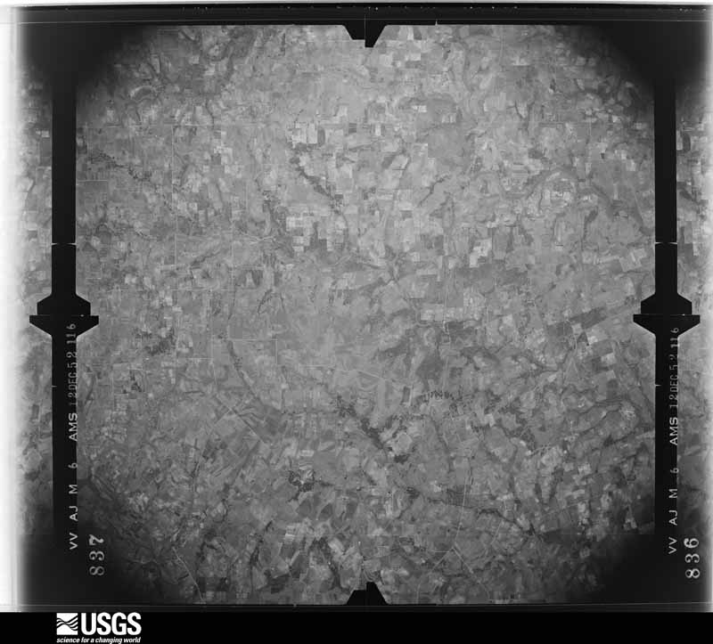
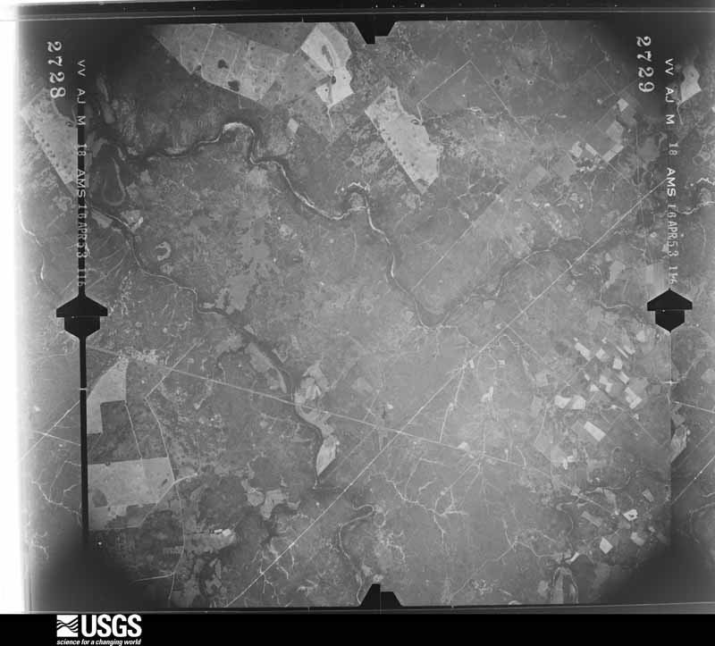
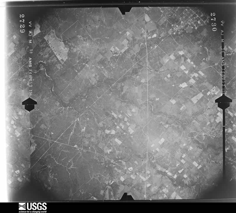
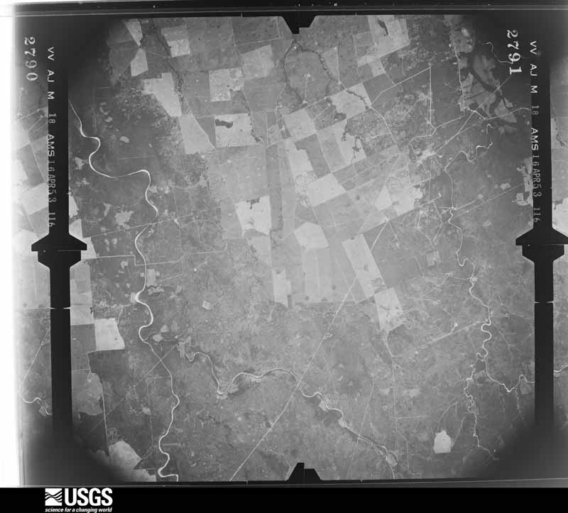
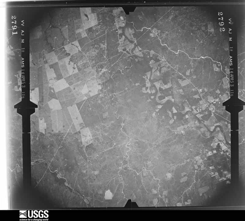
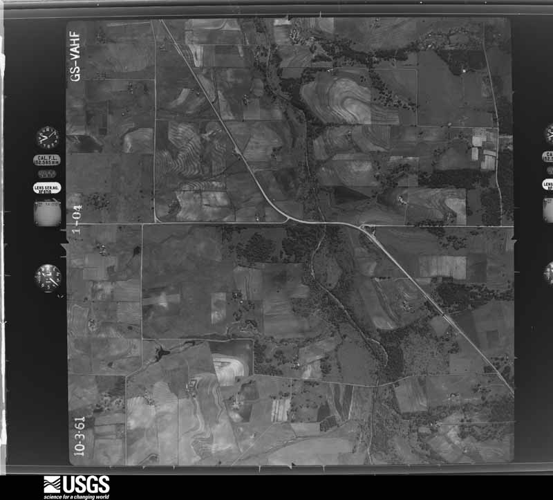
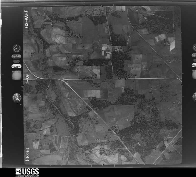
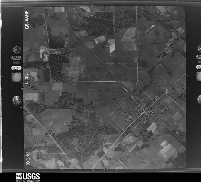
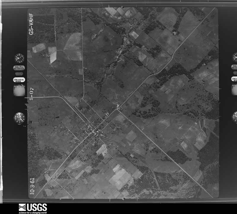
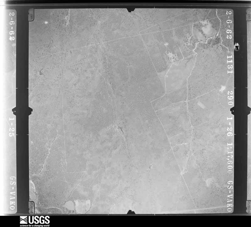
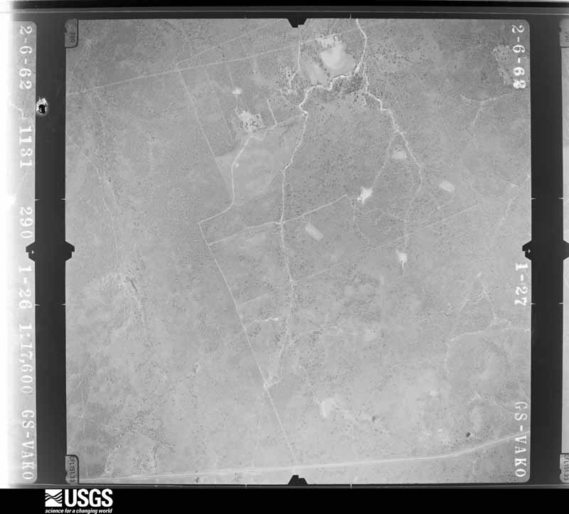
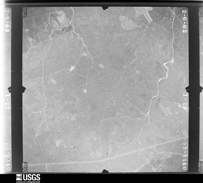
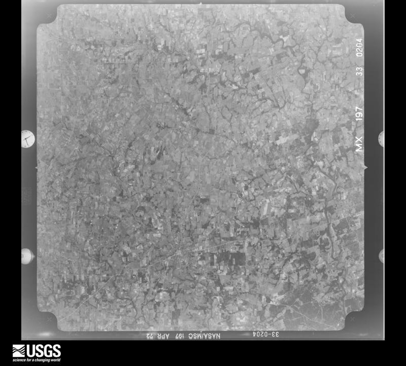
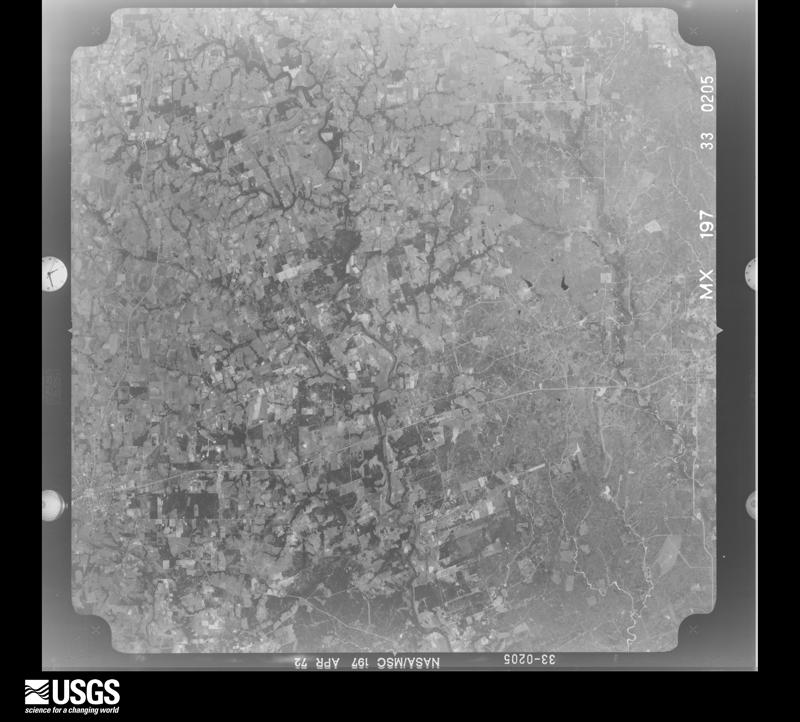
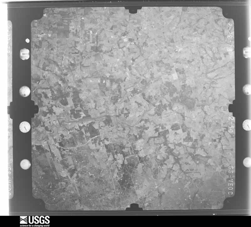
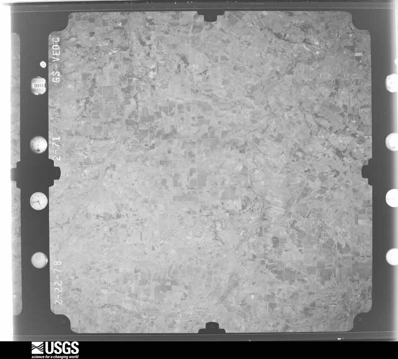
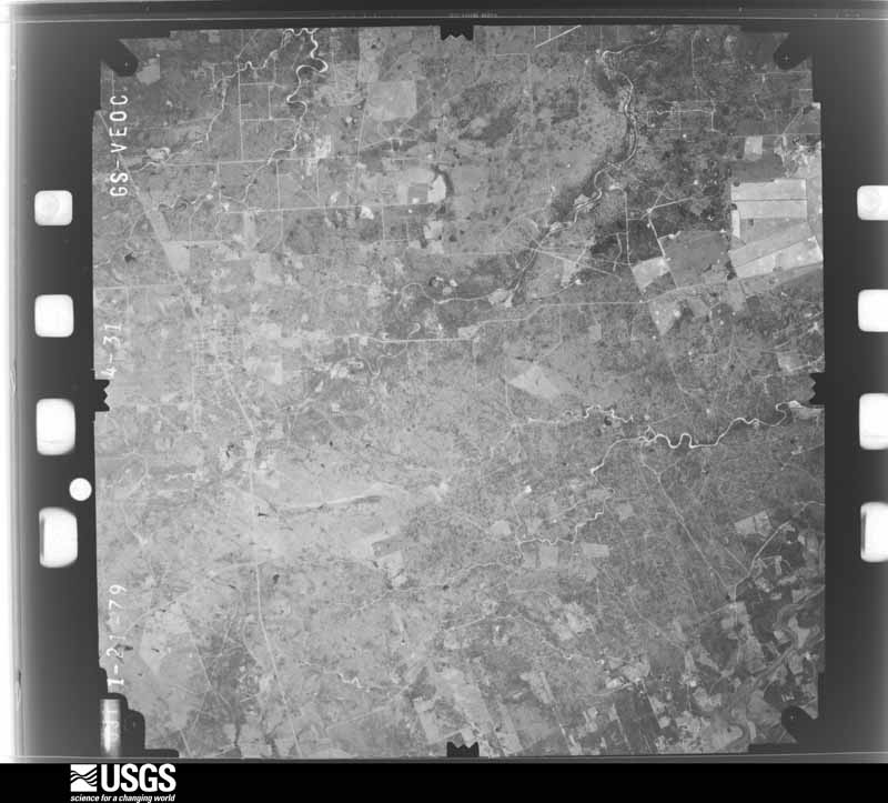
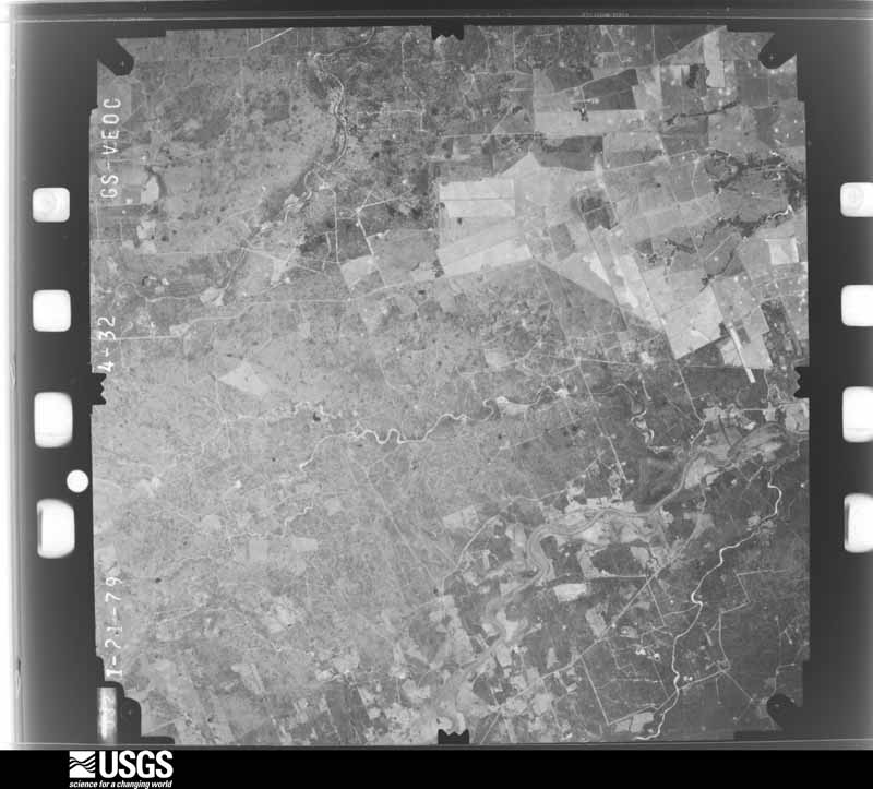
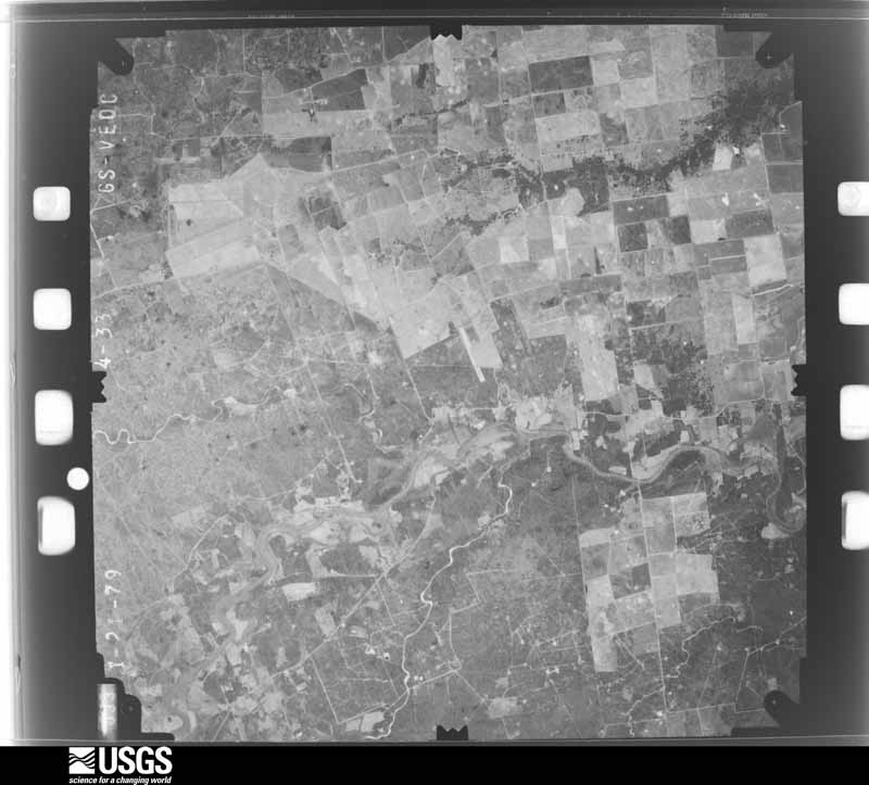
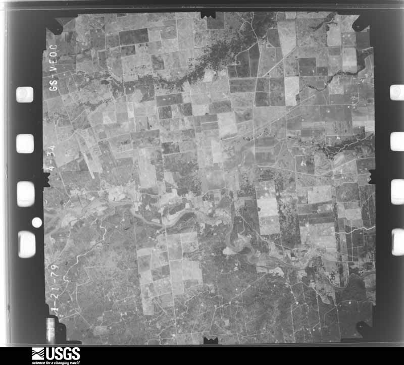
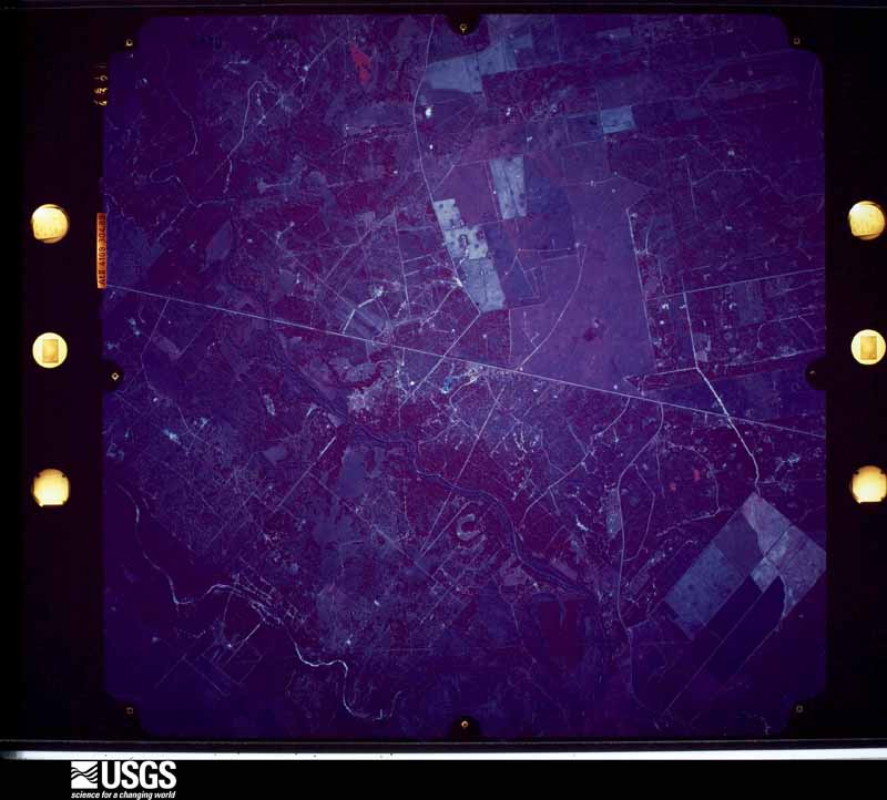
Flown by the U.S. Geological Survey between 1937 and 1989, the Aerial Photo Single Frames collection is the definitive mid-century view of the land: fields, roads and rivers as the camera saw them. The Survey holds 2,119 frames inside the rectangle that bounds this county; the 43 frames below were taken over the county itself, chosen across the decades of flights (at most four a year from that rectangle), so one flight cannot crowd out the rest. The full set is free to browse and download at EarthExplorer under the dataset Aerial Photo Single Frames.



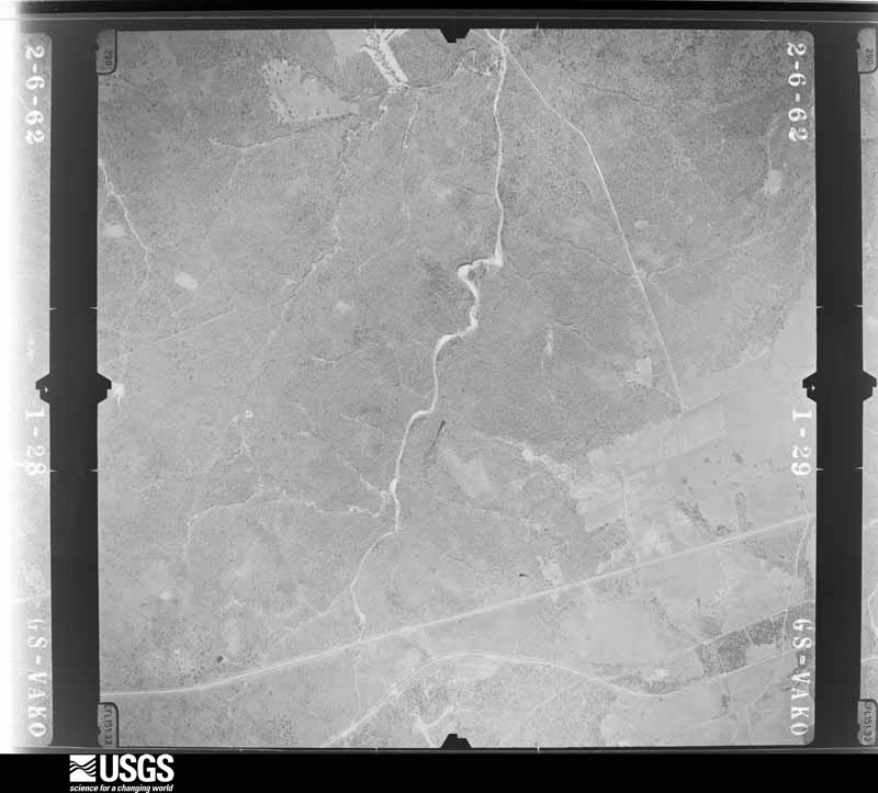
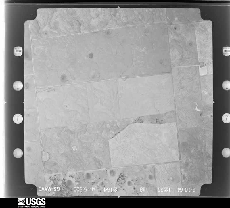
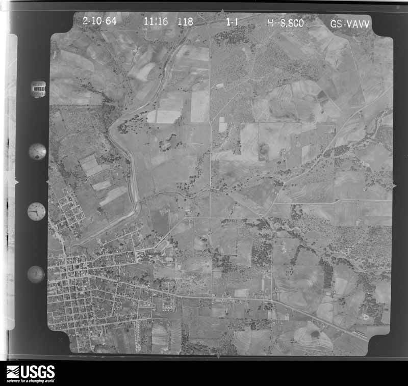
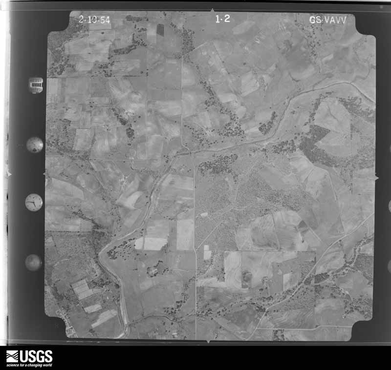
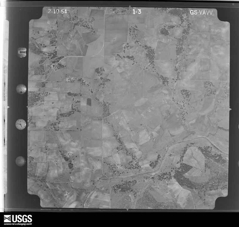

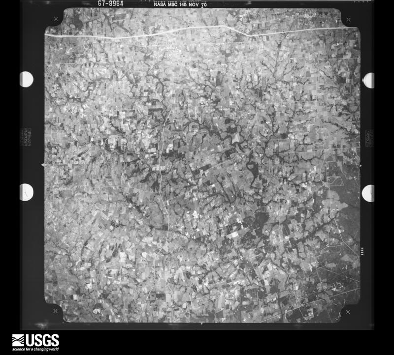
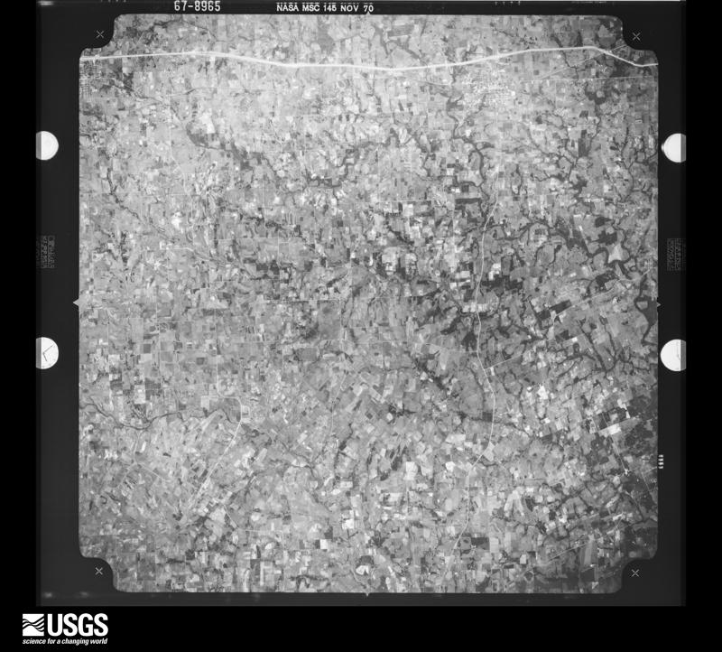
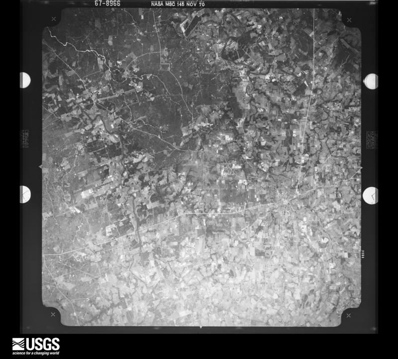










The thermometers that kept this county's weather, and the gages that measured the flow of its streams, as the federal records hold them. The extremes below are measured values from those records, not estimates.
Who lived here in 1950, one enumeration district at a time, as the Census Bureau described each district. Each row opens its official National Archives result, with Population Schedules and ED Maps available there.
Every wildfire the federal occurrence database records inside this county: 308 of them, burning about 1,572 acres. 5 started naturally and 1 was recorded as arson. Each settlement page carries the fires within five miles of it.
| Reported cause | Fires |
|---|---|
| Debris and open burning | 171 |
| Missing data/not specified/undetermined | 62 |
| Equipment and vehicle use | 53 |
| Power generation/transmission/distribution | 11 |
| Natural | 5 |
| Smoking | 2 |
| Misuse of fire by a minor | 2 |
| Railroad operations and maintenance | 1 |
| Arson/incendiarism | 1 |
The five largest, by the area the report gives. None of them was recorded as arson.
| Date | Cause | Size | Reported by | Name on the report |
|---|---|---|---|---|
| 4 September 2011 | Missing data/not specified/undetermined | 200 acres | Texas A & M Forest Service | RAAB SWITCH |
| 29 August 2011 | Missing data/not specified/undetermined | 150 acres | Texas A & M Forest Service | CR 136A |
| 14 March 2006 | Debris and open burning | 90 acres | Texas A & M Forest Service | COUNTY ROAD 16B |
| 25 April 2011 | Equipment and vehicle use | 80 acres | Texas A & M Forest Service | RENGER GF |
| 24 July 2019 | Debris and open burning | 60 acres | Texas A & M Forest Service | 16B |
| 23 October 1999 | Debris and open burning | 60 acres | Texas A & M Forest Service | not named |
| 26 February 2006 | Debris and open burning | 30 acres | Texas A & M Forest Service | not named |
| 3 February 2006 | Debris and open burning | 30 acres | Texas A & M Forest Service | not named |
Every settlement page carries the fires within five miles of it - see the settlement index below.
The NOAA Storm Events Database holds 294 reports for this county, causing 2 deaths, 364 injuries and about $12,908,500 in recorded property damage. Each settlement page carries the reports that name it.
| Kind of event | Reports |
|---|---|
| Flash Flood | 104 |
| Hail | 84 |
| Thunderstorm Wind | 63 |
| Tornado | 36 |
| Lightning | 4 |
| Funnel Cloud | 2 |
| Heavy Rain | 1 |
The most serious of them, by death, then injury, then recorded damage. The accounts are quoted exactly as the forecast office filed them.
| When | Event | Place named | Harm | What the report says |
|---|---|---|---|---|
| April 1997 | Flash Flood | Countywide | 1 killed, $1,000,000 | no account filed |
| July 1997 | Lightning | Halletsville | 1 killed | no account filed |
| October 1998 | Flash Flood | Countywide | 300 hurt, $3,000,000 | no account filed |
| October 1998 | Flash Flood | Countywide | 50 hurt, $2,000,000 | no account filed |
| September 1967 | Tornado (F3) | not stated | 4 hurt, $2,500,000 | no account filed |
| March 2007 | Tornado (EF2) | Halletsville | 4 hurt, $75,000 | To the southeast of Hallettsville, and southeast of the first tornado, a second tornado touched down near 0345 CST. This was just off FM530 on Road 16C, near the community of Light Chapel. This tornado touched down just south of a mobile home and began moving toward the northeast. A father, along with two sons and a daughter, had just arrived home less than an hour before the touchdown and had fallen asleep when the storm struck. The father reported feeling a jolt that awakened him as severe thunderstorm winds ahead of the tornado struck the mobile home. He reported that it became quiet again and then the mobile home exploded as the tornado stuck. He and his three children were blown and tossed almost 150 feet, coming to rest on the top of the former south wall of his mobile home. Broken glass was everywhere, but, in spite of cuts and bruises, they took shelter in a small nearby roofless shack as hail continued to fall. He then walked, carrying an injured son and daughter, to a neighbors house to call for help. His truck, parked under an awning just south of the mobile home was rolled and crushed. Had he and his children arrived only a few minutes later at their home, they could easily have been killed. That all have recovered except for minor bruises and cuts can only be considered a miracle. The fathers comments were that its all okay were okay. What was destroyed is just stuff. Based on the destroyed mobile home, which had been tied down, and the rolled and twisted metal frame, the tornado was rated EF-2 on the Enhanced Fujita Scale. Winds were estimated at 115 mph. The tornado path length was placed at four-tenths of a mile with a path width of 75 yards. |
| September 1967 | Tornado | not stated | 3 hurt, $25,000 | no account filed |
| September 1967 | Tornado (F3) | not stated | 3 hurt, $25,000 | no account filed |
| June 1994 | Thunderstorm Wind | Yoakum | $500,000 | High winds knocked down several trees and damaged roofs in Yoakum. The storm also took the top off a storage shed. |
| May 1994 | Tornado (F1) | N Moulton | $500,000 | The tornado was reported by the EMC just north of Moulton. Up to five inches of rain fell in the same storm. Power lines and tree limbs were knocked down on all streets and along Highway 95 northward toward Flatonia. One resident reported seeing a funnel dip downward out of the thunderstorm. Others in Moulton reported hearing a roaring sound as the damage occurred. A mobile home was blown off its blocks, farm outbuildings were destroyed and cattle injured. Numerous roofs across the city were damaged. |
| September 2022 | Lightning | Halletsville | $250,000 | Lightning struck a storage tank battery and semi-truck tractor trailer starting a fire approximately one mile north of Hallettsville on Hwy 77. |
| May 1991 | Tornado (F1) | not stated | $250,000 | no account filed |
| June 1998 | Thunderstorm Wind | Shiner | $200,000 | no account filed |
| August 2003 | Thunderstorm Wind | Moulton | $150,000 | As the line of thunderstorms associated with the late season cold front moved southward into Lavaca County, they produced severe winds just south of the Fayette County line. The wind knocked down many trees and power lines. Some homes were without power until 3am the following day. |
| March 2007 | Tornado (EF1) | Halletsville | $100,000 | The first tornado touched down near 0330 CST at the community of Williamsburg, approximately 4 miles south of Hallettsville along US77. It tracked from just west of US77 northward along the highway for almost a mile, crossing the highway and dissipating on the east side of US77. It was difficult to separate severe thunderstorm wind damage which preceded the tornado from the tornado damage itself. The tornado destroyed a barn near its initial touchdown with a level of damage indicating winds approaching 100 mph. This is consistent with NWS Doppler Radar indications of winds at or just above 90 mph in the Williamsburg area near 0331 CST. Doppler Radar at that time showed a comma-shaped echo with a hint of possible rotation on the north end of the comma, near Williamsburg. The tornado knocked over trees, with the debris pointed mostly toward the north or east. It also shoved a mobile home toward the east several yards. The tornado was rated an EF-1 on the enhanced Fujita Scale with winds estimated at 95 to 100 mph. The track was toward the north with a width of 100 yards and a path length of eight-tenths of a mile. |
| July 2006 | Thunderstorm Wind | Halletsville | $100,000 | Severe thunderstorm winds blew down trees along US 77 in a path 12 miles long south of Hallettsville. |
| April 2004 | Hail | Moulton | $100,000 | A second flurry of large hail, this time bigger than baseballs, damaged cars and homes east of Moulton. |
| February 1998 | Thunderstorm Wind | Halletsville | $100,000 | Severe downbursts damaged roofs, awnings and carports of homes, and blew over trees. Two mobile homes were destroyed near Hallettsville by the wind. Wind gusts at the airport in Yoakum were measured at 73 kts. |
| December 2002 | Thunderstorm Wind | Halletsville | $80,000 | Severe thunderstorm winds damaged the walls and screen of an outdoor drive-in theater and destroyed several outbuildings just west of Hallettsville. |
| December 2002 | Thunderstorm Wind | Shiner | $80,000 | Trees were blown over and power lines were knocked down in the northwest part of the county. |
| May 2001 | Flash Flood | Southeast Portion | $80,000 | no account filed |
| February 1998 | Thunderstorm Wind | Yoakum | $60,000 | no account filed |
| December 2024 | Lightning | Mont | $50,000 | A thunderstorm produced lightning that caused an oil field tank battery to catch fire near Sweet Home. |
| August 2021 | Lightning | Mont | $50,000 | Lightning struck an oil tank battery southwest of Hallettsville. The lightning strike caused an explosion and fire. Of the eight tanks on site, three were destroyed and five severely damaged. |
| September 2012 | Thunderstorm Wind | Shiner | $50,000 | A thunderstorm produced wind gusts estimated at 58 mph that damaged a railroad crossing arm guard, flipped a boat off its trailer, blew down several trees, and damaged a carport and the metal skirting around a home. |
| September 2011 | Thunderstorm Wind | Halletsville | $50,000 | A thunderstorm produced wind gusts estimated at 58 mph which blew down several trees and caused numerous power outages near LaVernia. |
| July 2003 | Thunderstorm Wind | Sweet Home | $50,000 | Severe thunderstorm winds produce a downburst estimated at 60 knots that blew down power lines near Sweet Home. |
| November 2001 | Thunderstorm Wind | Halletsville | $50,000 | Severe thunderstorm winds peeled back roofs, blew down trees and large tree limbs and knocked over fences in the Hallettsville area. |
| February 1999 | Thunderstorm Wind | Halletsville | $50,000 | Severe winds destroyed a barn, and took the roof off several small buildings. |
| May 1999 | Tornado (F1) | Halletsville | $50,000 | The Lavaca County Sheriff's Department reported a second tornado just west of Hallettsville. This tornado was very small and short-lived. It damaged the roof of a house and knocked down several trees before dissipating. |
| April 1997 | Thunderstorm Wind | Moulton | $50,000 | Amateur Radio spotters reported power lines and power poles blown down in and around Moulton. |
| April 1994 | Hail | Halletsville | $50,000 | The Lavaca Police Department relayed a report from the Moulton Police Department of dime- to penny-sized hail in Moulton. The local newspaper reported a dozen or more trees were uprooted 10 miles east of Halletsville between 1915 CST and 1930 CST. Golf ball-sized hail was reported at New Kinkler at 1915 CST with quarter-sized hail in Halletsville at 1941 CST. |
| April 1994 | Hail | Vienna | $50,000 | Golf ball-sized hail was observed at Sublime at 2018 CST. The same size of hail was reported by the public in Vienna at 2020 CST. |
| May 1994 | Thunderstorm Wind | Hallettsville | $50,000 | Trees were uprooted by thunderstorm winds in Sweet Home. Power lines and trees were downed in Halletsville. |
| April 1994 | Hail | Sublime | $50,000 | Golf ball-sized hail was observed at Sublime at 2018 CST. The same size of hail was reported by the public in Vienna at 2020 CST. |
| May 1994 | Tornado (F2) | Vienna | $50,000 | A tornado touched down near Vienna, destroying a mobile home and a house, knocking down power lines and covering the roadway with debris. One witness reported hearing a sound like a "freight train." |
| May 1994 | Thunderstorm Wind | Sweet Home | $50,000 | Trees were uprooted by thunderstorm winds in Sweet Home. Power lines and trees were downed in Halletsville. |
| August 2001 | Flash Flood | Countywide | $50,000 | no account filed |
| July 2000 | Thunderstorm Wind | Shiner | $50,000 | no account filed |
| December 1997 | Thunderstorm Wind | Ezzell | $50,000 | no account filed |
| June 1996 | Flash Flood | Countywide | $50,000 | no account filed |
| June 1998 | Thunderstorm Wind | Halletsville | $40,000 | no account filed |
| June 2004 | Thunderstorm Wind | Moulton | $30,000 | Severe thunderstorm winds blew down trees and power lines in and near Moulton and produced nearly 3.5 inches of rain in just one hour. |
| August 1998 | Flash Flood | Countywide | $30,000 | no account filed |
| October 1997 | Flash Flood | Countywide | $30,000 | no account filed |
| October 1997 | Flash Flood | Countywide | $30,000 | no account filed |
| March 1972 | Tornado (F2) | not stated | $25,000 | no account filed |
| May 1955 | Tornado (F2) | not stated | $25,000 | no account filed |
| May 1955 | Tornado (F2) | not stated | $25,000 | no account filed |
| May 2021 | Tornado (EF1) | Sublime | $20,000 | Video evidence and an NWS Storm Survey confirmed a tornado touched down roughly one mile northwest of Sublime, south and east of CR 142. The tornado moved northwest and severely damaged a small house as well as snapped large tree branches. Wind speeds at this point were estimated to be 80-100 mph. The tornado crossed CR 142 between CR 159 and CR 143, west of the Navidad River, and continued through open farm land producing sporadic tree damage. The tornado then crossed CR 138 at the Navidad River, completely snapping three foot diameter tree trunks of a few trees near their bases and snapping large limbs of several other trees. Wind speeds at this point were also estimated to be 80-100 mph. The tornado dissipated to the northwest of CR 138. Sporadic straight-line wind damage, in the form of snapped tree limbs, was also observed along CR 159, 211, and 138, west of the tornadic circulation. |
| August 2009 | Thunderstorm Wind | Shiner | $20,000 | Thunderstorm wind gusts, estimated at 50 knots, uprooted some trees and knocked down a barn. |
| April 2004 | Thunderstorm Wind | Halletsville | $20,000 | A cooperative observer reported trees blown down with lots of minor wind damage in the Hallettsville area. |
| May 2004 | Thunderstorm Wind | Halletsville | $20,000 | A cooperative observer reported trees blown down with lots of minor wind damage in the Hallettsville area. |
| August 2003 | Thunderstorm Wind | Shiner | $20,000 | Severe thunderstorm wind gusts, measured by a co-operative observer at 80 knots, knocked over scores of trees from Shiner to west of Yoakum to Sweet Home. |
| November 1998 | Flash Flood | North Portion | $20,000 | no account filed |
| August 1998 | Thunderstorm Wind | Moulton | $20,000 | no account filed |
| July 1997 | Flash Flood | Countywide | $20,000 | no account filed |
| October 1997 | Flash Flood | Countywide | $20,000 | no account filed |
| October 1997 | Flash Flood | Countywide | $20,000 | no account filed |
| August 2001 | Flash Flood | Countywide | $15,000 | no account filed |
Named settlements recorded in the Geographic Names Information System, each with the topographic sheets covering it. Villages, hamlets and abandoned places alike. Each is shown with the nearest named watercourse or landform and the survey quadrangle it falls on.
Hallettsville census division · 77964 · On Cottonwood Branch · Moravia quadrangle
10 sheets, 1919 to 1985
Hallettsville census division · 77964 · On Campbell Branch · Hallettsville quadrangle
8 sheets, 1953 to 1994
Hallettsville census division · 77964 · On Cottonwood Branch · Moravia quadrangle
10 sheets, 1919 to 1985
Yoakum census division · 77964 · On Yellow Bank Creek · Ezzell quadrangle
8 sheets, 1953 to 1994
Hallettsville census division · 77964 · On Mustang Creek · Wied quadrangle
9 sheets, 1953 to 1985
Moulton census division · 78956 · On Little Rocky Creek · Moravia quadrangle
10 sheets, 1919 to 1985
Moulton census division · 77975 · Near Frederick Mound · Moulton quadrangle
11 sheets, 1901 to 1985
Moulton census division · 78941 · Near Frederick Mound · Moulton quadrangle
11 sheets, 1901 to 1985
Hallettsville census division · 77964 · On Smith Branch · Speaks quadrangle
8 sheets, 1953 to 1994
Hallettsville census division · 77964 · On Cook Branch · Speaks quadrangle
8 sheets, 1953 to 1994
Hallettsville census division · 77986 · On Mixon Creek · Sublime quadrangle
8 sheets, 1953 to 1994
Hallettsville census division · 77964 · On Willow Creek · Sublime quadrangle
8 sheets, 1953 to 1994
Hallettsville census division · 77964 · Near Pine Hollow · Sublime quadrangle
8 sheets, 1953 to 1994
Hallettsville census division · 77964 · On Mustang Creek · Hallettsville quadrangle
8 sheets, 1953 to 1994
Hallettsville census division · 77964 · On Smothers Creek · Wied quadrangle
9 sheets, 1953 to 1985