 Block
BlockFrom the record
1 National Register listing published here.
Sources: the National Register database, National Park Service
40 topographic sheets cover 14 settlements here, and 1 property is on the National Register of Historic Places.
1 National Register listing published here.
Sources: the National Register database, National Park Service
Every property in this county listed on the National Register of Historic Places, with the year it was listed and the federal nomination document.
| Photograph | Property | Type | Listed | Reference |
|---|---|---|---|---|
 | Lynn County Courthouse | building | 1982 | 82004513 |
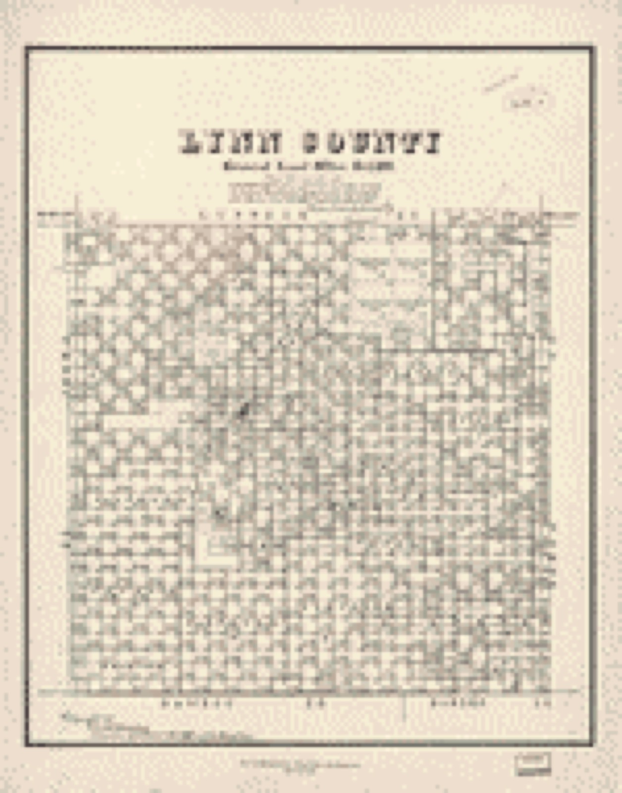
Drawn when these were printed as single large sheets: the town seen from the air, and the county divided into its farms with every owner named. Each opens the original at the Library of Congress.
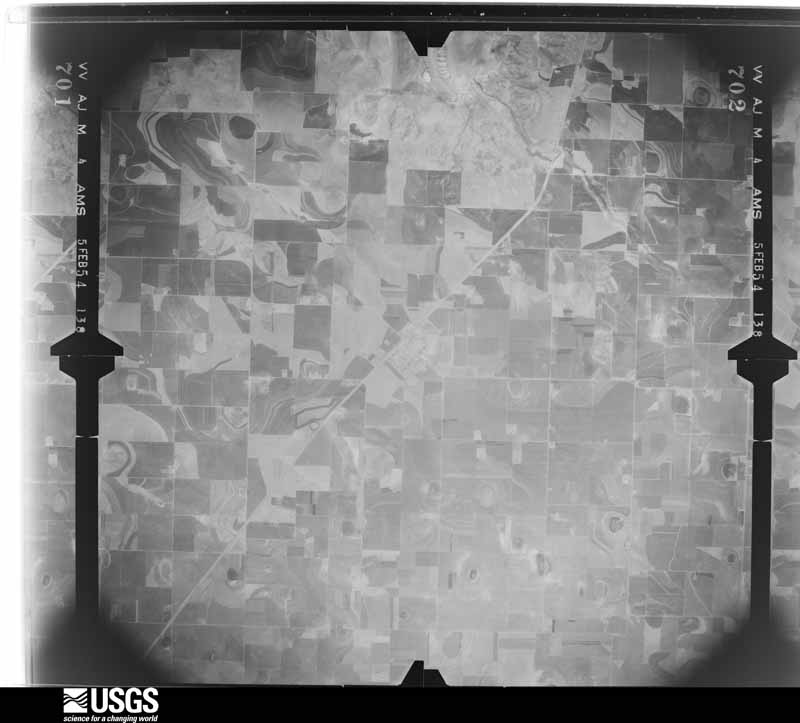
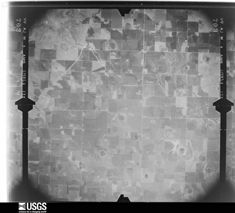
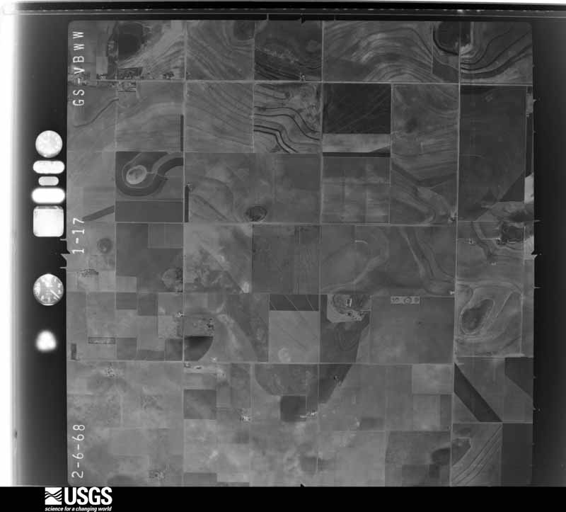
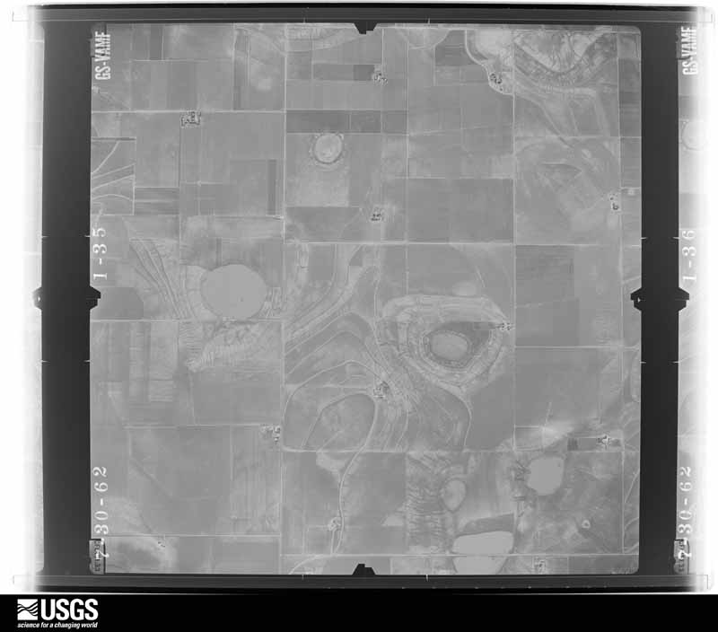
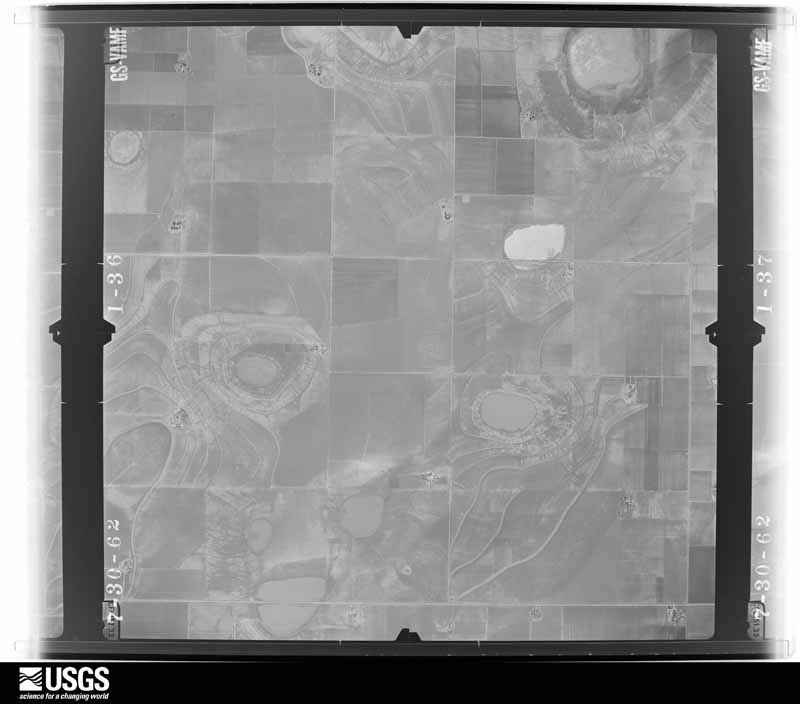
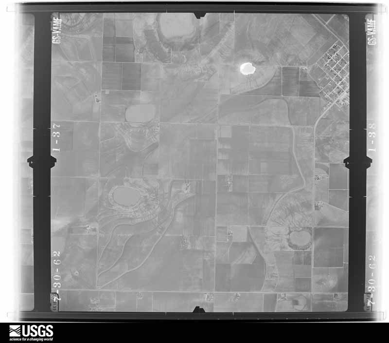
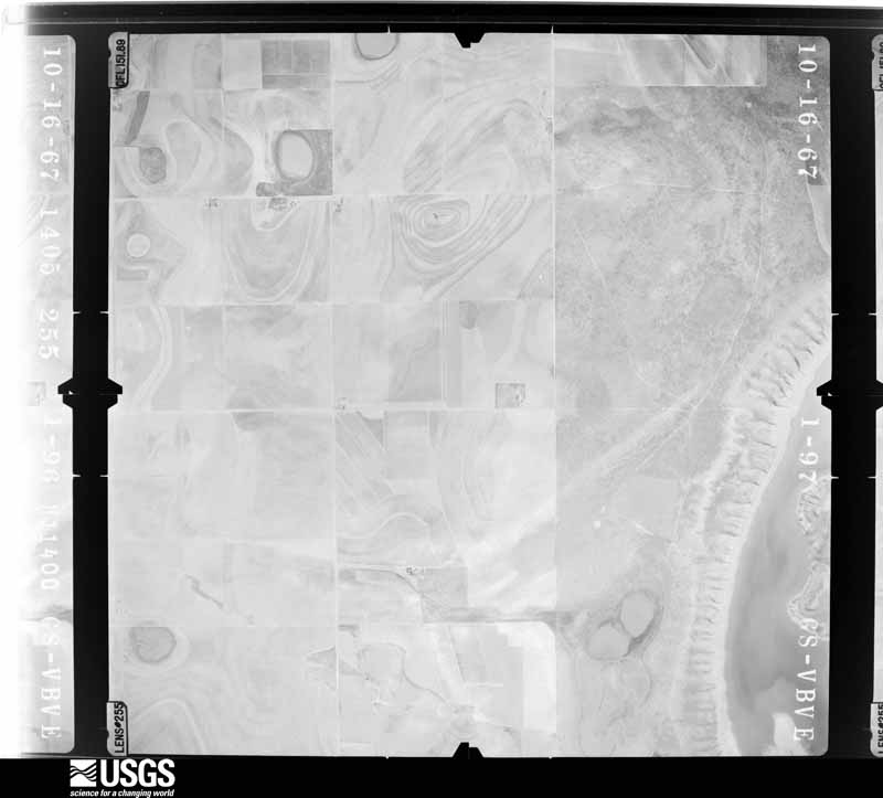
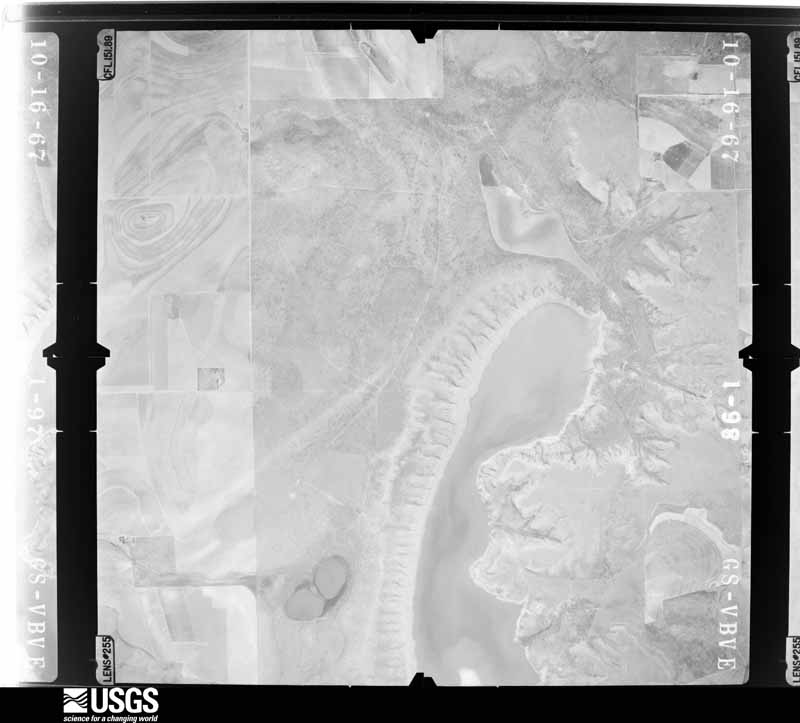
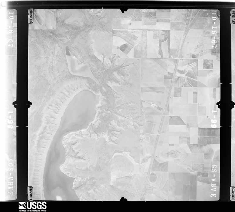
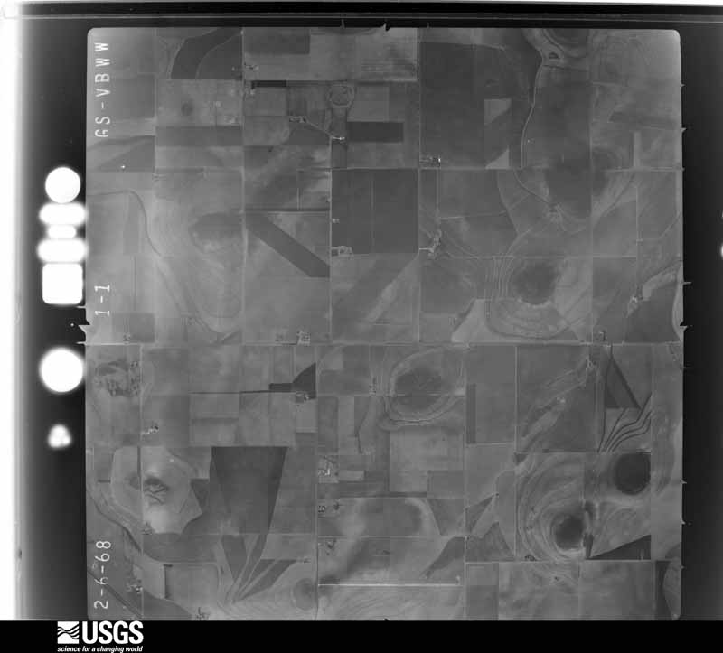
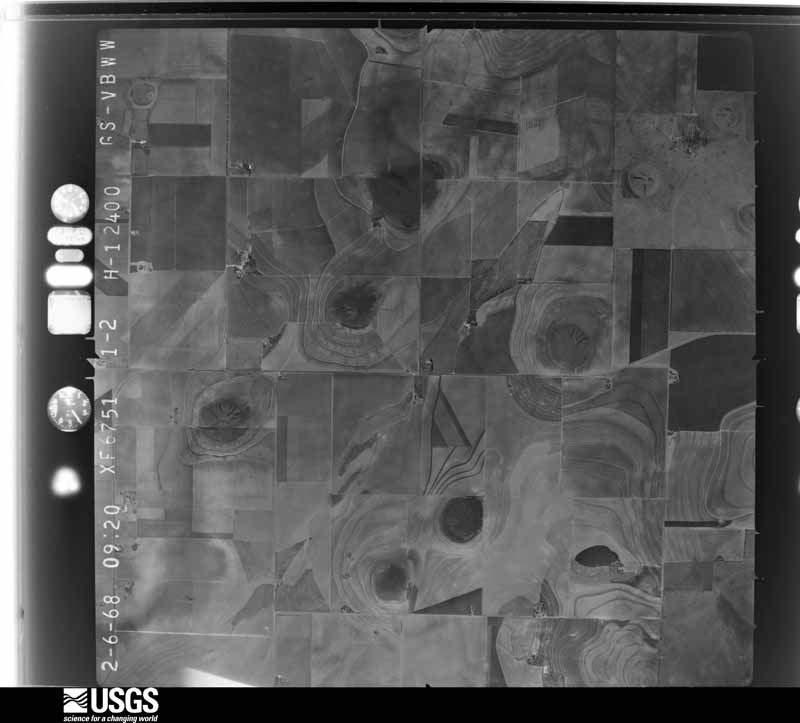
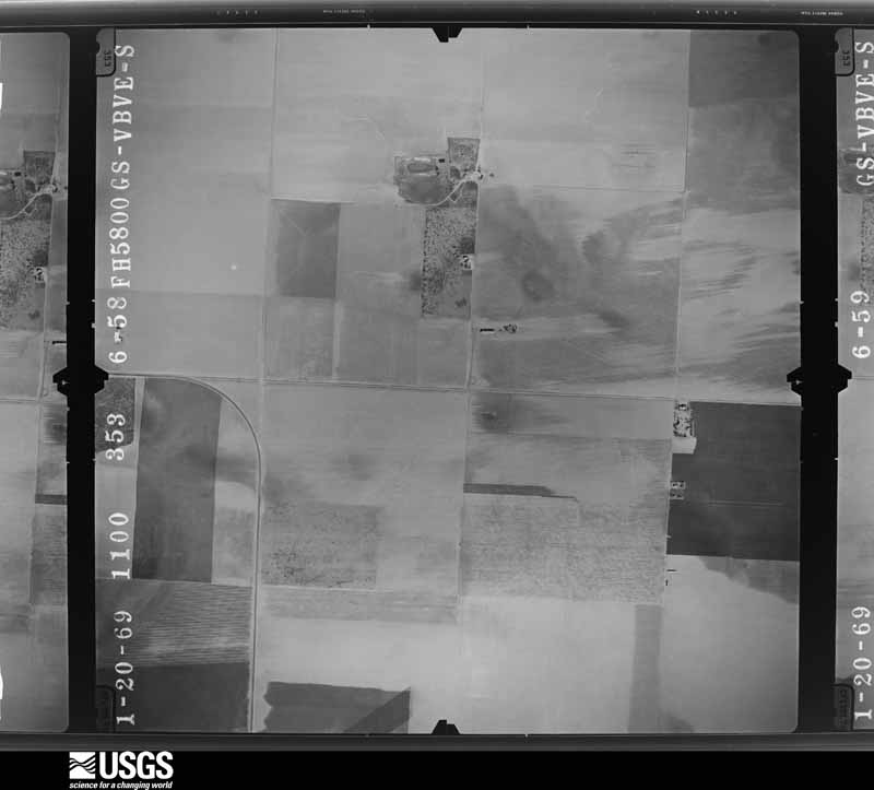
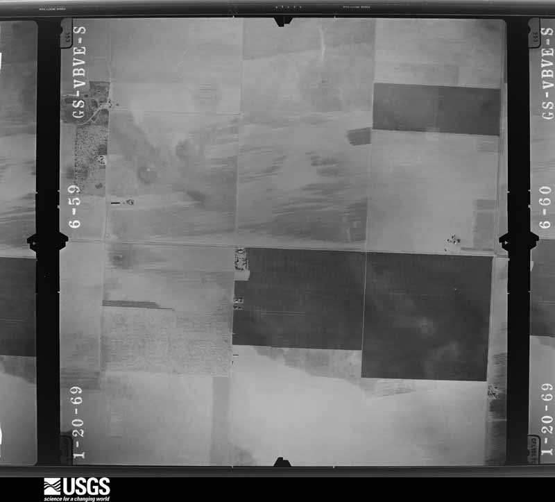
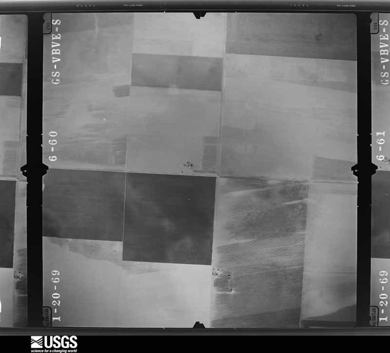
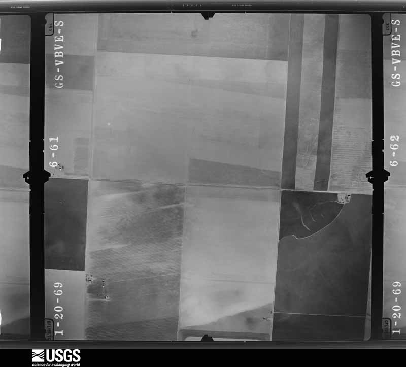
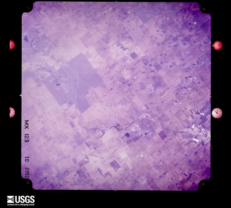
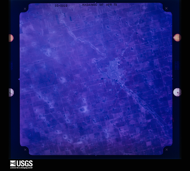
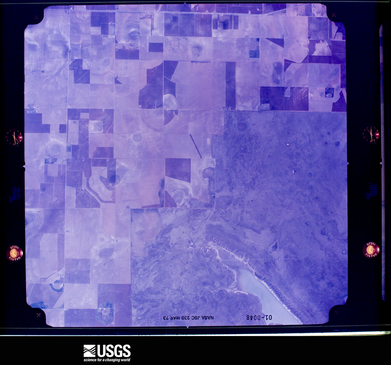
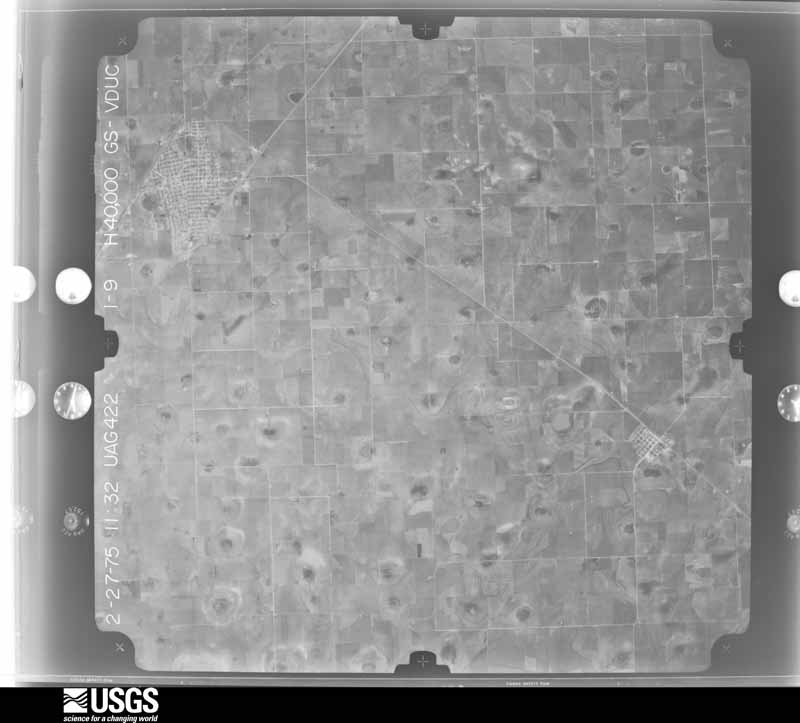
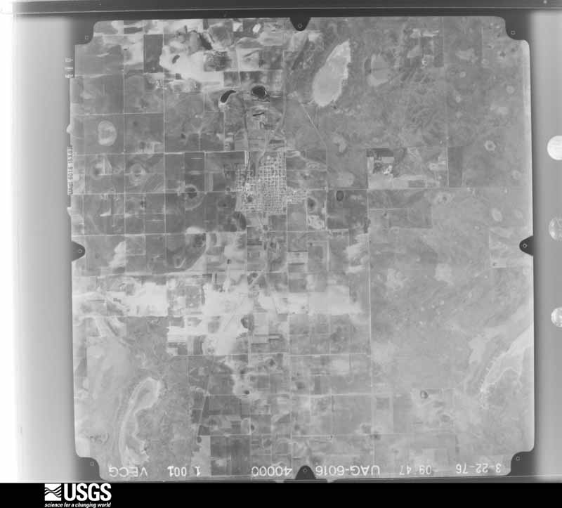
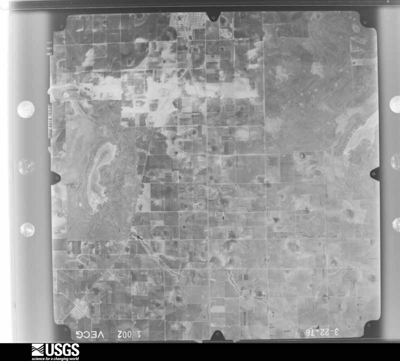
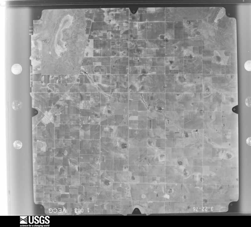
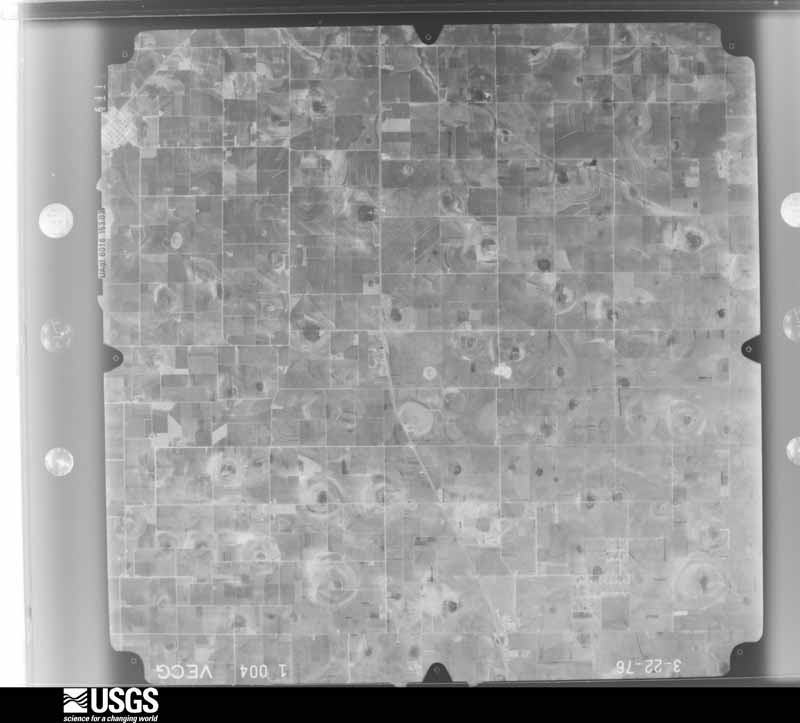
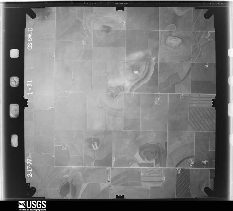
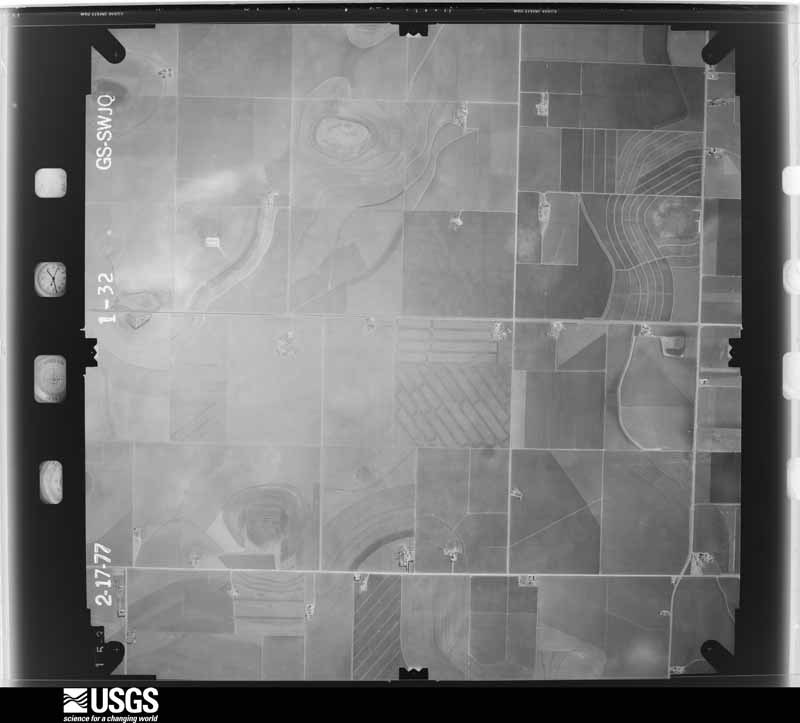
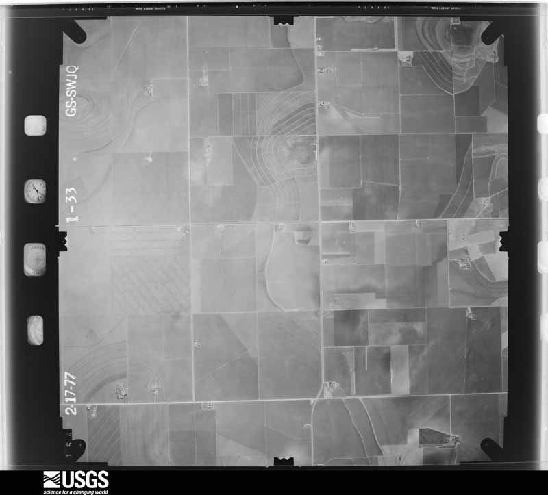
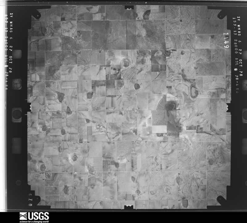
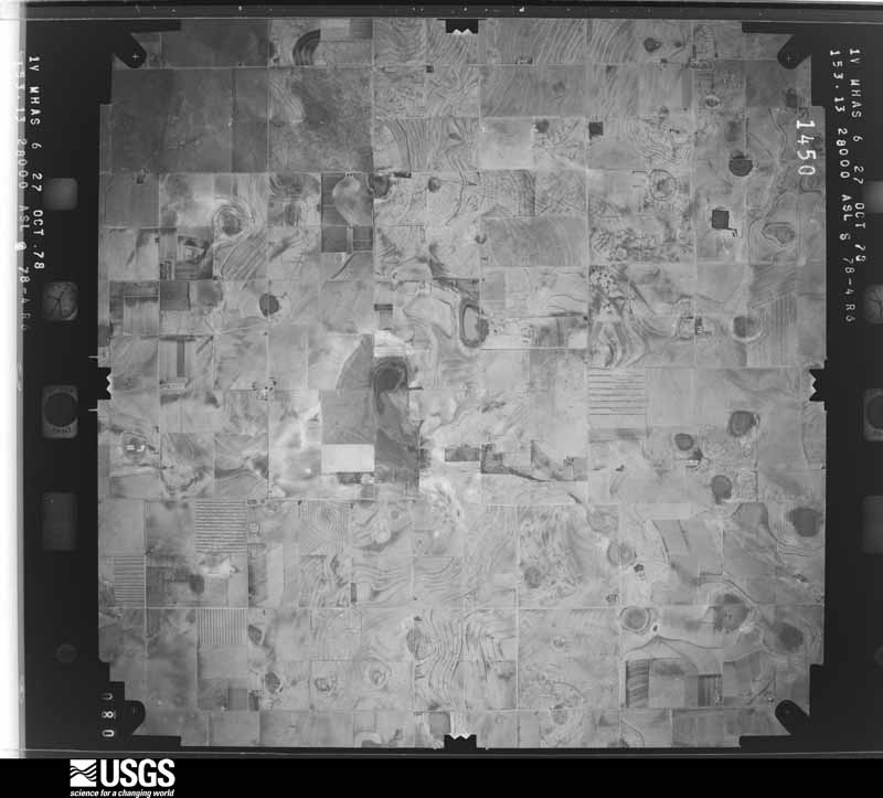
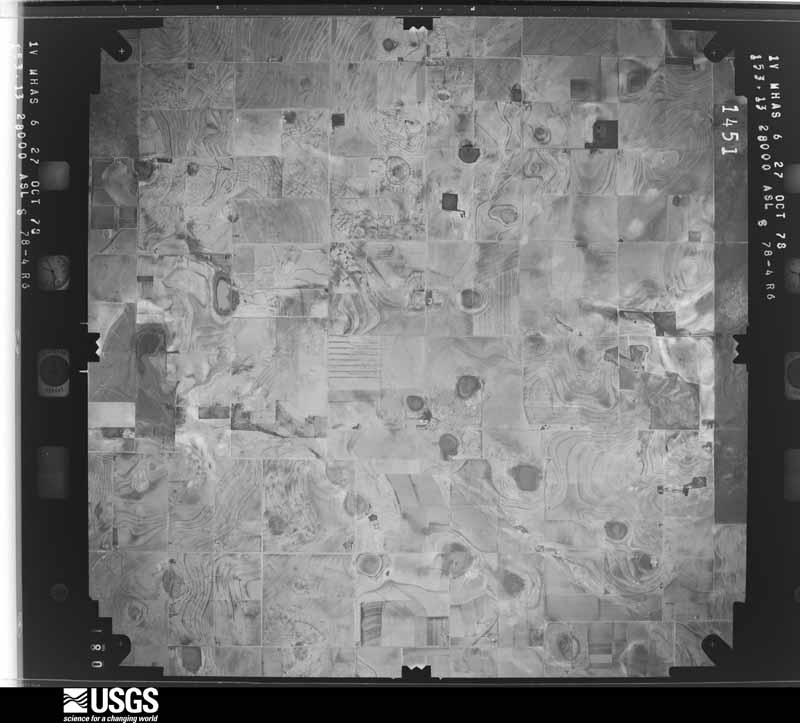
Flown by the U.S. Geological Survey between 1937 and 1989, the Aerial Photo Single Frames collection is the definitive mid-century view of the land: fields, roads and rivers as the camera saw them. The Survey holds 1,815 frames inside the rectangle that bounds this county; the 48 frames below were taken over the county itself, chosen across the decades of flights (at most four a year from that rectangle), so one flight cannot crowd out the rest. The full set is free to browse and download at EarthExplorer under the dataset Aerial Photo Single Frames.


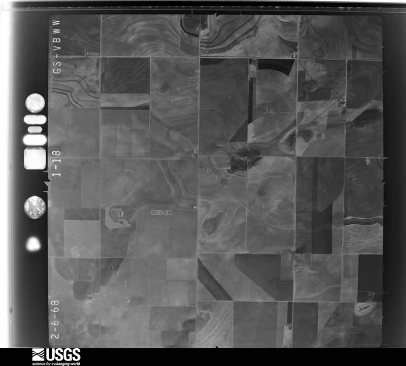
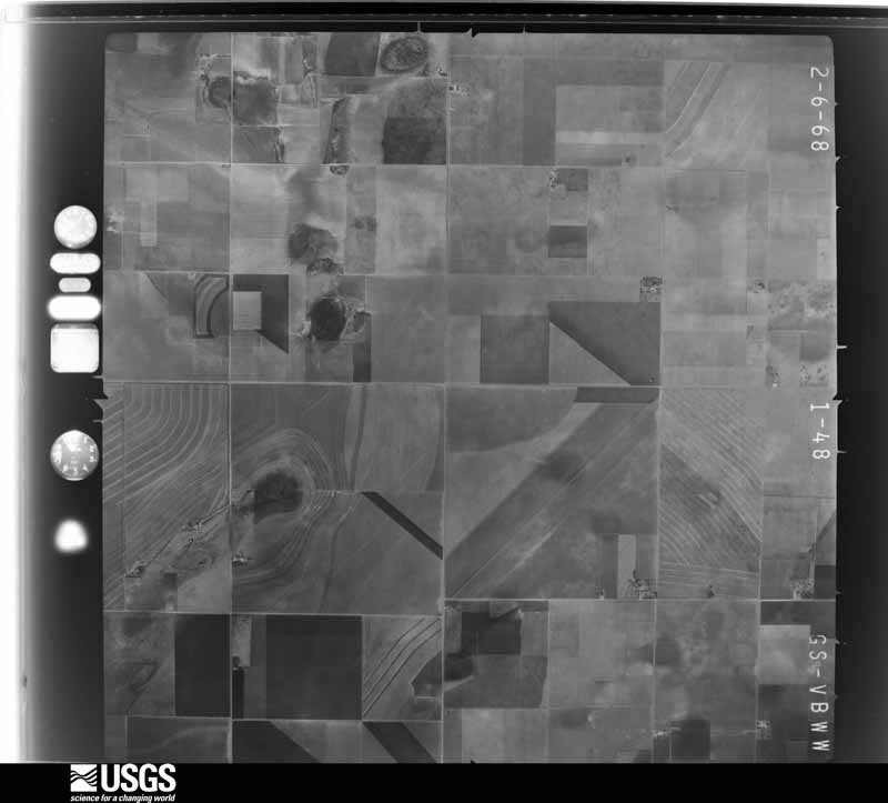
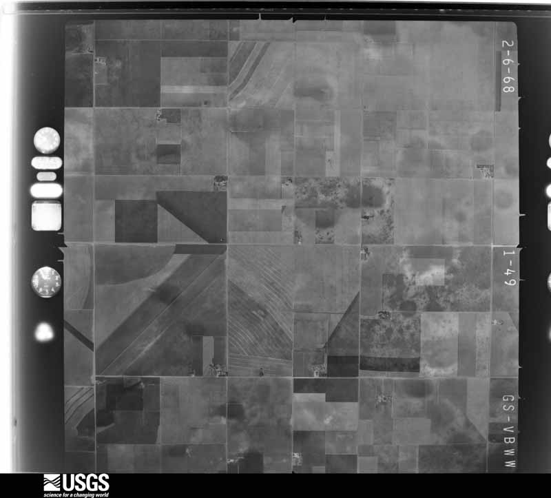
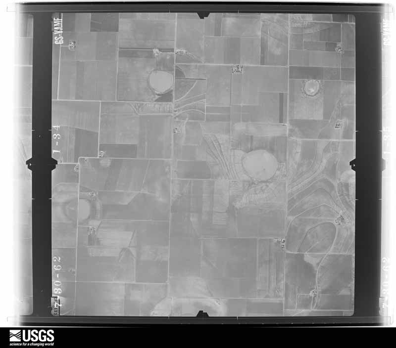













The thermometers that kept this county's weather, as the federal records hold them. The extremes below are measured values from those records, not estimates.
Who lived here in 1950, one enumeration district at a time, as the Census Bureau described each district. Each row opens its official National Archives result, with Population Schedules and ED Maps available there.
Every wildfire the federal occurrence database records inside this county: 239 of them, burning about 28,137 acres. 21 started naturally and 12 were recorded as arson. Each settlement page carries the fires within five miles of it.
| Reported cause | Fires |
|---|---|
| Equipment and vehicle use | 78 |
| Missing data/not specified/undetermined | 62 |
| Debris and open burning | 52 |
| Natural | 21 |
| Arson/incendiarism | 12 |
| Smoking | 11 |
| Power generation/transmission/distribution | 2 |
| Misuse of fire by a minor | 1 |
The five largest, by the area the report gives. None of them was recorded as arson.
| Date | Cause | Size | Reported by | Name on the report |
|---|---|---|---|---|
| 15 April 2006 | Missing data/not specified/undetermined | 3,000 acres | Texas A & M Forest Service | DOUBLE U RANCH |
| 1 May 2009 | Equipment and vehicle use | 1,600 acres | Texas A & M Forest Service | STUD DUCK RANCH |
| 15 April 2006 | Equipment and vehicle use | 1,500 acres | Texas A & M Forest Service | not named |
| 25 April 2011 | Missing data/not specified/undetermined | 1,500 acres | Texas A & M Forest Service | T-BAR RANCH FIRE |
| 2 June 2009 | Debris and open burning | 1,250 acres | Texas A & M Forest Service | GRASS BURN |
| 16 January 2008 | Equipment and vehicle use | 1,200 acres | Texas A & M Forest Service | U LAZY S FIRE |
| 18 May 2006 | Natural | 900 acres | Texas A & M Forest Service | not named |
| 6 May 2006 | Natural | 880 acres | Texas A & M Forest Service | not named |
Every settlement page carries the fires within five miles of it - see the settlement index below.
The NOAA Storm Events Database holds 457 reports for this county, causing no deaths, 4 injuries and about $8,199,500 in recorded property damage. Each settlement page carries the reports that name it.
| Kind of event | Reports |
|---|---|
| Hail | 250 |
| Thunderstorm Wind | 115 |
| Tornado | 45 |
| Flash Flood | 28 |
| Flood | 11 |
| Heavy Rain | 5 |
| Funnel Cloud | 2 |
| Lightning | 1 |
The most serious of them, by death, then injury, then recorded damage. The accounts are quoted exactly as the forecast office filed them.
| When | Event | Place named | Harm | What the report says |
|---|---|---|---|---|
| June 1999 | Thunderstorm Wind | Odonnell | 2 hurt, $1,000 | Strong wind blew a trampoline into two people who were running for their storm shelter. They received minor injuries and were released from the hospital that same night. |
| May 1957 | Tornado (F3) | not stated | 1 hurt, $250,000 | no account filed |
| March 2019 | Thunderstorm Wind | Odonnell | 1 hurt, $50,000 | A downburst heavily damaged two warehouses, snapped utility poles, and blew over a semi on Highway 87 near O'Donnell. The driver of the semi suffered a laceration to his arm, but refused admittance to a hospital. |
| July 2010 | Flash Flood | Odonnell | $2,500,000 | Portions of eastern Lynn County were impacted by a convective band during the early morning hours of the 4th. This feature subjected the area between O'Donnell and Draw to the heaviest rainfall rates observed on the west Texas South Plains during the passage of Hurricane Alex's remnants. ||Initial reports of flash flooding were received by the Texas Department of Transportation shortly before 02:00 CST. High water was reportedly flowing over U.S. Highway 87 north of Tahoka. Through the remainder of the pre-dawn hours, other segments of U.S. Highway 87 became inundated by high water southward between Tahoka and O'Donnell, as well as U.S. Highway 380 east of Tahoka. Reports of stranded motorists along these routes were minimal, however, likely due to the fast actions of local officials to close these major thoroughfairs.||The most significant flash flooding occurred in the hours around sunrise over the eastern portions of the county, roughly between the community of Draw and the intersection of U.S. Highway 380 and Farm to Market Road 1054. An earthen dam failed at Stuart Lake in eastern Lynn County. The surrounding landscape suffered extreme erosion and damages as the 60 acre lake emptied completely. A family was rescued from their nearby ranch home as flash flooding propagated downstream. The residence was deemed a complete loss. In addition, by 09:00 CST a 700 foot section of Farm to Market Road 1054 was reportedly washed away. The destruction of Stuart Lake - which is privately owned - was estimated to result in nearly $2 million dollars in damages. ||In all, total economic losses across Lynn County were estimated near $5 million. For the purposes of this report, these damages were differentiated by flash flood and flood as $2.5 million each.||No significant injuries were reported. |
| June 1999 | Thunderstorm Wind | Countywide | $1,400,000 | Strong wind blew down or snapped over 350 power poles across the southern half of the county. The Southwestern Public Service, an electric company, reported 28 power transmission structures destroyed by the strong wind. |
| May 2019 | Thunderstorm Wind | Tahoka | $1,000,000 | Intense rear flank downdraft winds as high as 80 mph were documented over a large swath of central Lynn County for nearly one hour. In addition to downing an estimated 250 power poles over the area, these winds caused minor damage to a couple dozen homes, sheds, and toppled several trees. |
| May 1998 | Hail | Tahoka | $500,000 | no account filed |
| May 2019 | Thunderstorm Wind | Odonnell | $350,000 | Severe wind gusts were measured for a 45-minute period by a Texas Tech University West Texas mesonet near O'Donnell. These winds were the result of an intense rear flank downdraft that accompanied a nearly stationary supercell. Wind damage to buildings and power poles was commonplace throughout O'Donnell and nearby areas. |
| May 2015 | Flash Flood | New Home Arpt | $300,000 | no account filed |
| June 1980 | Tornado (F1) | not stated | $250,000 | no account filed |
| May 2000 | Hail | Odonnell | $200,000 | Baseball size hail did considerable damage to cars, damaged the roofs of many houses, and broke windows. |
| May 1996 | Hail | Odonnell | $200,000 | no account filed |
| June 2010 | Thunderstorm Wind | Tahoka T Bar Arpt | $100,000 | A swath of damaging thunderstorm winds accompanied a high-precipitation supercell from near Tahoka to Wilson. Damage initially occurred around 13:20 CST when a large section of wall was blown in at a warehouse and several well-built fences were destroyed on the west side of Tahoka. By 13:25 CST, a 32,000 pound semi-truck was blown over along U.S. Highway 87 north of Tahoka. A church located just east of the highway north of Tahoka additionally sustained major roof damage. At 13:43 CST, the Texas Tech University West Texas Mesonet site northeast of Tahoka measured a thunderstorm wind gust of 65 mph. A VORTEX II mobile mesonet recorded a 84 mph gust southwest of Wilson at 13:44 CST. A second mobile mesonet measurement of 78 mph was recorded in Wilson at 13:46 CST. Multiple long-lived gustnadoes were observed by VORTEX II crews along the gust front. Local officials reported that at least five utility poles were snapped near the ground west of Wilson, and that electricity outages persisted through 01:00 CST on the 15th at a number of residences near Wilson. Otherwise, damage in Wilson was largely limited to downed tree branches. No injuries were reported. |
| May 2000 | Thunderstorm Wind | Odonnell | $100,000 | Strong thunderstorm wind destroyed four cotton storage warehouses on the west edge of town. Seven power poles were snapped on Highway 87, a tree was uprooted and some vehicles and windows were damaged by wind-blown large hail. |
| May 1996 | Thunderstorm Wind | Odonnell | $100,000 | no account filed |
| September 2003 | Hail | New Moore | $75,000 | Golfball size hail damaged vehicles and destroyed crops. |
| July 2016 | Thunderstorm Wind | Petty | $60,000 | The Tahoka Fire Department reported 13 large transmission lines downed by strong winds near the intersection of Farm to Market Road 179 and US Highway 380. |
| June 1999 | Thunderstorm Wind | Draw | $60,000 | Strong wind destroyed two mobile homes near Draw, and combined with hail to destroy crops. |
| June 2015 | Hail | New Home | $50,000 | Hail of quarter to ping pong ball size was estimated by NWS employees along County Road 211. About 50 vehicles parked outdoors at a nearby wedding reception received minor hail damage. |
| April 2002 | Hail | New Moore | $50,000 | A three quarter of a mile wide swath of three to four inch diameter hail fell across southern Lynn County. A cotton gin and three homes near Wells were battered by this hail. Numerous windows were shattered and major roof damage occurred. |
| May 1999 | Hail | New Home | $50,000 | no account filed |
| April 2000 | Hail | Odonnell | $40,000 | no account filed |
| May 1996 | Hail | Tahoka | $40,000 | no account filed |
| May 2019 | Tornado (EF2) | New Home Arpt | $36,000 | Storm chasers observed what at first looked to be a harmless gustnado southeast of New Home, but this innocuous dirt whirl quickly grew taller and phased with a rotating wall cloud immediately aloft. This tornado slowly intensified just west of US Highway 87 and moved southeast before crossing the highway around 1655 CST. The NWS storm survey found only minimal wind damage along the highway, but this tornado rapidly intensified as it turned nearly due south just east of US Highway 87. It was here that the tornado inflicted EF2 damage to power poles approximately 2.7 miles N-NE of Tahoka. The tornado crossed US Highway 380 about 3 miles east of Tahoka around 1705 CST and grew to just over one mile in width. Visibility was compromised during much of this wedge phase due to large amounts of dust wrapping around the tornado. EF1 damage was noted to a residence along US Highway 380. About a half mile south of the highway the tornado caused EF1 to EF2 damage to a manufactured home and farm equipment. By 1730 CST, the tornado and parent mesocyclone halted their S-SE motion and wobbled back to the west as indicated by the radar data and storm chaser video. Based on reports from a few storm chasers, at least one additional tornado may have accompanied this larger tornado at times a mile or two to its northeast, but a lack of sufficient evidence prevented these reports from being submitted. |
| November 2016 | Hail | Odonnell | $30,000 | A swath of destructive hail up to golf ball size passed directly over O'Donnell accompanied by heavy rain and strong winds. The size of this hail swath was about 1.5 miles in width by 7 miles in length. This wind-driven hail damaged or destroyed an estimated 800 acres of cotton in far southern Lynn County in addition to damaging cars and breaking some windows in homes. Large numbers of fowl, primarily doves, were killed from this barrage of hail that lasted for several minutes. |
| March 2007 | Flash Flood | Tahoka | $30,000 | Flash flooding resulted in high water flowing over U.S. Highway 380 west of Tahoka and U.S. Highway 87 north of Tahoka. Local law enforcement officials reported that at least four vehicles were stalled in the high water. No injuries were reported. |
| May 2007 | Flash Flood | New Home | $30,000 | Local emergency management officials reported that most Farm to Market Roads west of New Home in northwestern Lynn County were covered by fast moving high water. Newspaper accounts suggest that between four and six inches of rainfall was measured by several locals along the storm's path. Reports indicated that a number of people were stranded in flooded vehicles. No injuries were reported. |
| May 2004 | Hail | Lakeview | $30,000 | Golfball size hail was reported by the public. |
| June 2015 | Thunderstorm Wind | Tahoka T Bar Arpt | $25,000 | Although the Texas Tech University mesonet site near Tahoka did not measure a severe wind gust, several buildings within the city of Tahoka sustained thunderstorm wind damage. |
| June 2010 | Lightning | Tahoka | $25,000 | Local newspapers and utility officials reported that a lightning strike on a home in Tahoka resulted in a ruptured natural gas line beneath the home. The leak was detected and repaired without incident, but crews reported that a small hole and burn mark were present in the gas pipe when it was replaced the next day. Other electronics and appliances inside the home were additionally destroyed by the lightning strike. |
| March 2001 | Hail | Odonnell | $25,000 | Golfball size hail damaged a number of automobiles. |
| July 1997 | Thunderstorm Wind | New Home | $25,000 | no account filed |
| June 1968 | Tornado (F1) | not stated | $25,000 | no account filed |
| April 2003 | Hail | New Home | $20,000 | The Emergency Manager reported golfball size hail. |
| May 2001 | Thunderstorm Wind | Wilson | $15,000 | Strong thunderstorm wind destroyed a barn and damaged a house. |
| May 2019 | Thunderstorm Wind | New Home | $10,000 | From 1446 through 1450 CST, severe wind gusts were observed by the Texas Tech University West Texas mesonet site in New Home. The strongest gust reached 75 mph along with one-minute sustained winds of 64 mph. Furthermore, pictures on social media revealed that a few power lines were downed by these high winds. |
| May 2006 | Hail | New Home | $10,000 | The public reported that giant baseball size hailstones briefly fell in New Home. Minor property damage was reported. |
| July 2006 | Thunderstorm Wind | Tahoka | $10,000 | Another storm produced damaging winds and small hail in Tahoka. A local television station reported damage to video broadcast equipment and downed tents as severe thunderstorm wind gusts and dime size hail affected the community. The television network was preparing for a live broadcast when the storm struck. The winds were estimated to be in excess of 50 mph. No injuries were reported. |
| April 2002 | Hail | New Moore | $10,000 | A storm chaser reported tennis ball size hail on Highway 213 east of town. |
| May 2000 | Hail | Odonnell | $10,000 | A storm spotter reported golfball to baseball size hail from Wells to O'Donnell. |
| June 1999 | Thunderstorm Wind | Tahoka | $10,000 | Strong wind destroyed a large barn, and combined with hail to destroy crops. |
| September 2008 | Flood | Skeen | $10,000 | no account filed |
| April 1997 | Hail | New Moore | $10,000 | no account filed |
| June 2018 | Thunderstorm Wind | New Moore | $9,000 | Three power poles were downed along Farm to Market Road 213. |
| May 2016 | Thunderstorm Wind | Grassland | $9,000 | The fire department in Grassland reported three power poles downed by high winds near the intersection of Farm to Market Road 212 and County Road 24. |
| August 2008 | Thunderstorm Wind | Tahoka | $5,000 | A local newspaper article showed pictures of a large tree that was blown down by thunderstorm winds and caused minor damage to a home in Tahoka. A nearby Texas Tech University West Texas Mesonet site recorded a peak gust of 43 mph just before 19:00 CST. |
| August 2001 | Thunderstorm Wind | Tahoka | $5,000 | The West Texas Mesonet site near Tahoka measured a 74 mph thunderstorm wind gust. A few signs were blown down in the area. |
| May 1993 | Hail | O'Donnell | $5,000 | A cluster of severe thunderstorms persisted over southern Lynn County for nearly 40 minutes. SKYWARN spotters and the Lynn County Sheriff's Office reported golf ball-size hail near the Wells Community, in O'Donnell, and west of O'Donnell. The hail accumulated in drifts several inches deep near Wells and resulted in minor roof, vehicle, and crop damage in the area. |
| May 1993 | Hail | O'Donnell | $5,000 | A cluster of severe thunderstorms persisted over southern Lynn County for nearly 40 minutes. SKYWARN spotters and the Lynn County Sheriff's Office reported golf ball-size hail near the Wells Community, in O'Donnell, and west of O'Donnell. The hail accumulated in drifts several inches deep near Wells and resulted in minor roof, vehicle, and crop damage in the area. |
| May 1997 | Hail | Wilson | $5,000 | no account filed |
| May 1995 | Thunderstorm Wind | Wilson | $5,000 | no account filed |
| November 1994 | Thunderstorm Wind | Tahoka | $5,000 | no account filed |
| December 1993 | Thunderstorm Wind | Tahoka | $5,000 | no account filed |
| June 1999 | Thunderstorm Wind | Tahoka | $3,000 | Strong wind blew over two tractor trailers on Highway 87 between Tahoka and O'Donnell. |
| May 1970 | Tornado (F2) | not stated | $2,500 | no account filed |
| May 1969 | Tornado (F2) | not stated | $2,500 | no account filed |
| June 2013 | Flood | Tahoka T Bar Arpt | $2,000 | A section of Highway 380 just west of Tahoka was covered by about 2 to 3 feet of water rendering two cars disabled. Minor flooding of streets was reported in Tahoka. |
| April 2000 | Thunderstorm Wind | Grassland | $2,000 | Strong thunderstorm wind blew down several power poles. |
| June 1999 | Thunderstorm Wind | Tahoka | $2,000 | Strong wind destroyed a barn, and combined with hail to destroy crops. |
| April 2013 | Thunderstorm Wind | Petty | $1,000 | A utility company official reported multiple power poles snapped east of West Point. |
Named settlements recorded in the Geographic Names Information System, each with the topographic sheets covering it. Villages, hamlets and abandoned places alike. Each is shown with the nearest named watercourse or landform and the survey quadrangle it falls on.