 Block
BlockFrom the record
1 National Register listing published here.
Sources: the National Register database, National Park Service
15 topographic sheets cover 10 settlements here, and 1 property is on the National Register of Historic Places.
1 National Register listing published here.
Sources: the National Register database, National Park Service
Every property in this county listed on the National Register of Historic Places, with the year it was listed and the federal nomination document.
| Photograph | Property | Type | Listed | Reference |
|---|---|---|---|---|
| Carmelite Monastery | building | 1999 | 99000566 |
Drawn when these were printed as single large sheets: the town seen from the air, and the county divided into its farms with every owner named. Each opens the original at the Library of Congress.

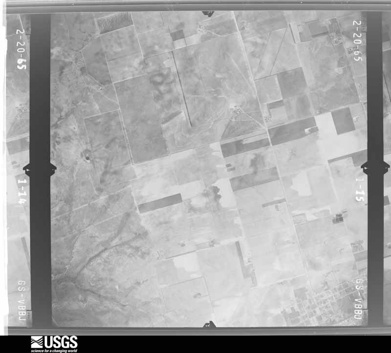
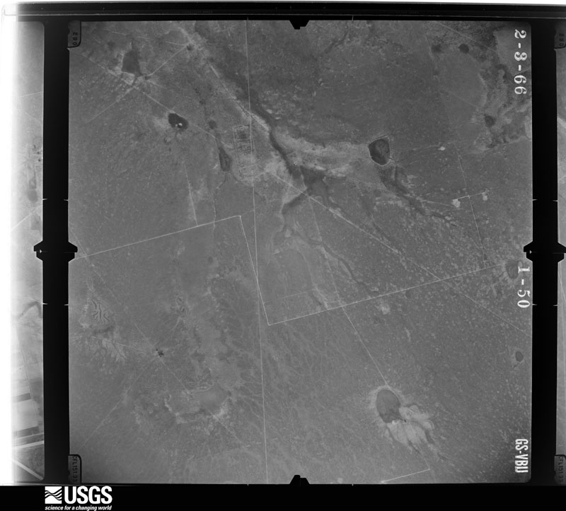
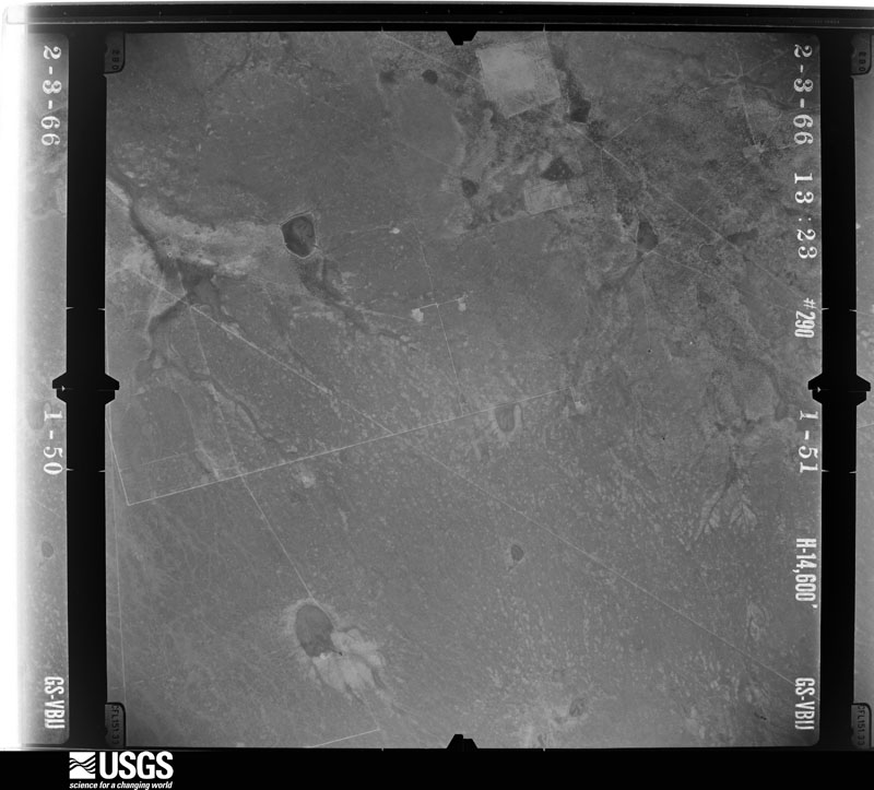
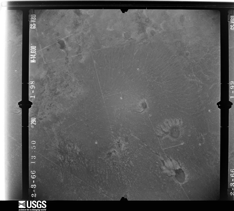
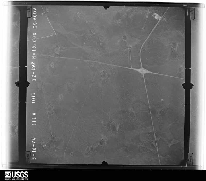
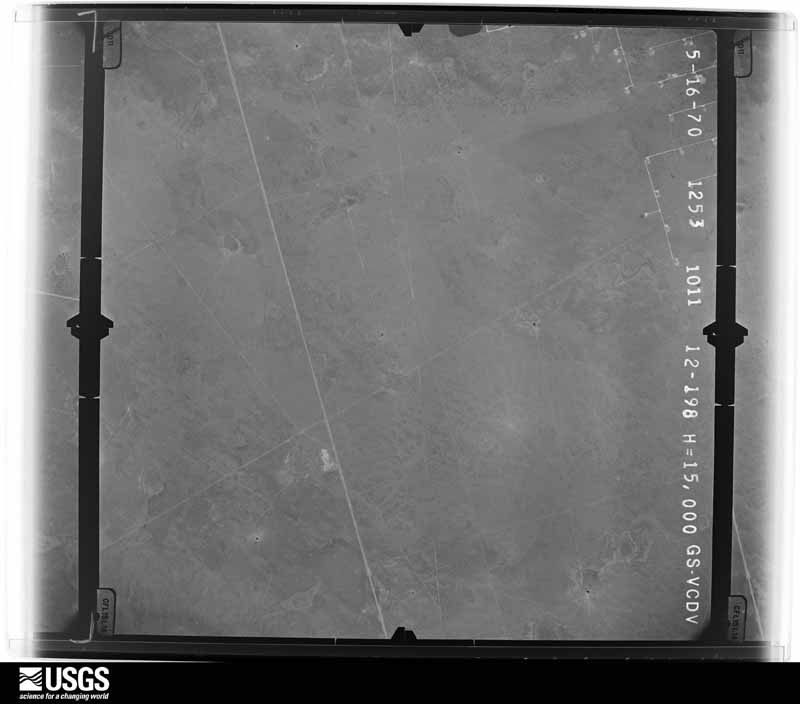
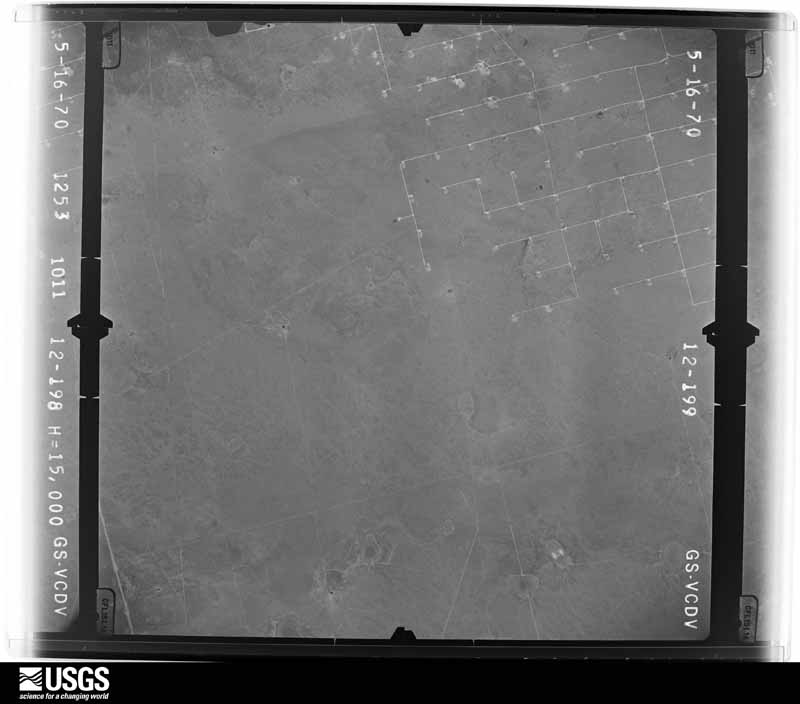
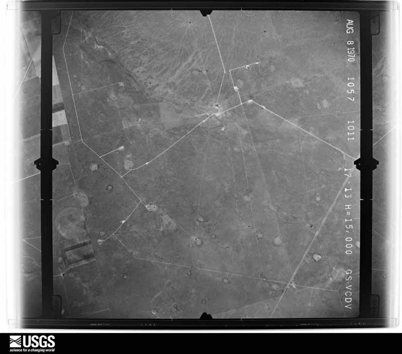
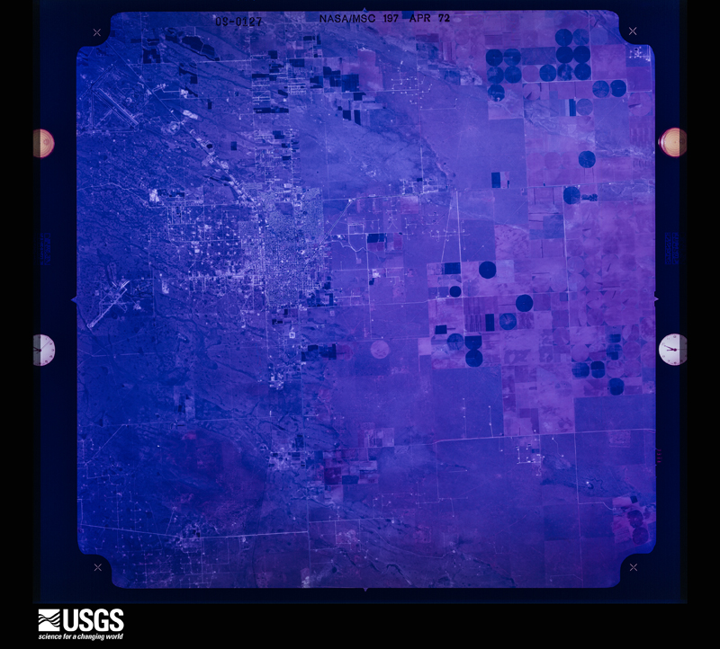
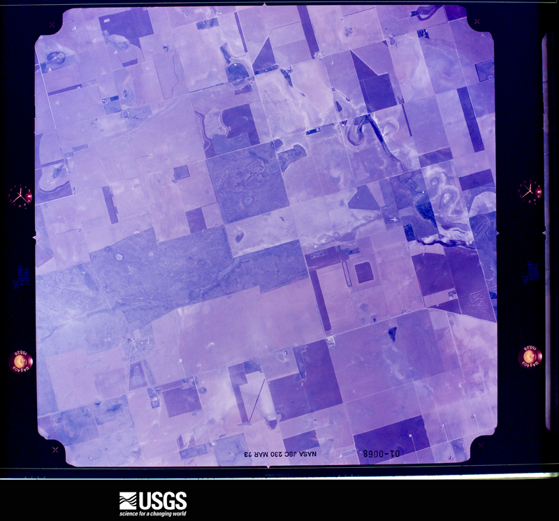
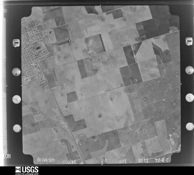
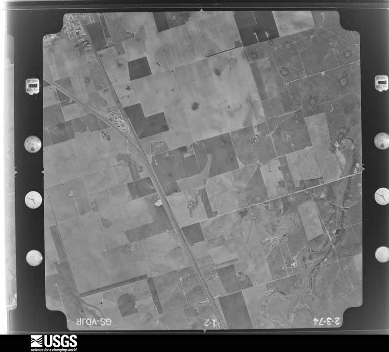
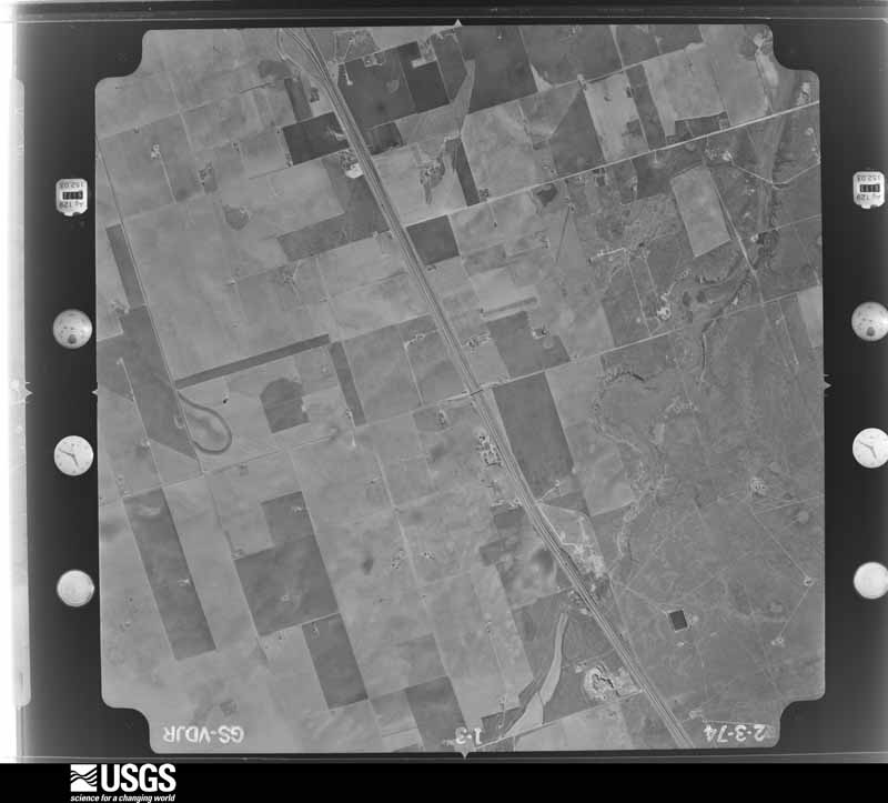
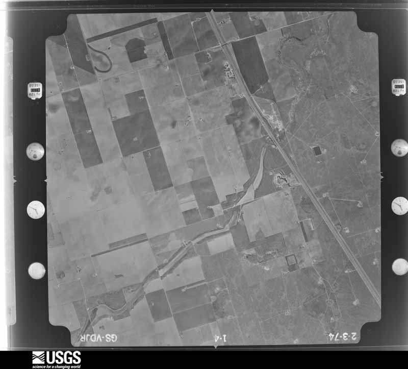
Flown by the U.S. Geological Survey between 1937 and 1989, the Aerial Photo Single Frames collection is the definitive mid-century view of the land: fields, roads and rivers as the camera saw them. The Survey holds 984 frames inside the rectangle that bounds this county; the 36 frames below were taken over the county itself, chosen across the decades of flights (at most four a year from that rectangle), so one flight cannot crowd out the rest. The full set is free to browse and download at EarthExplorer under the dataset Aerial Photo Single Frames.

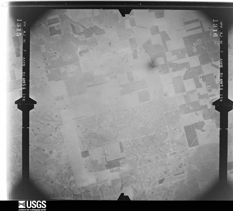


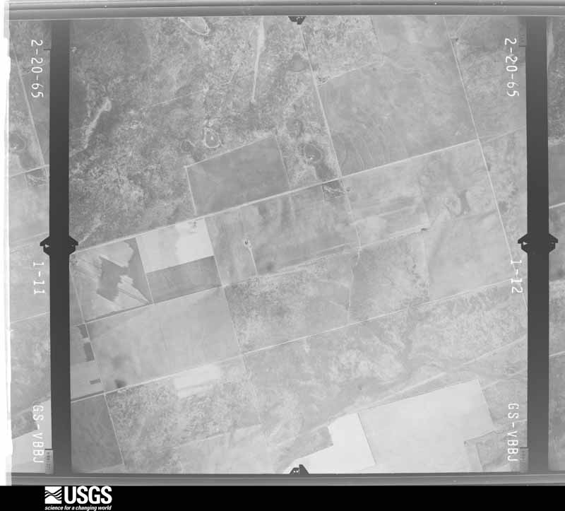
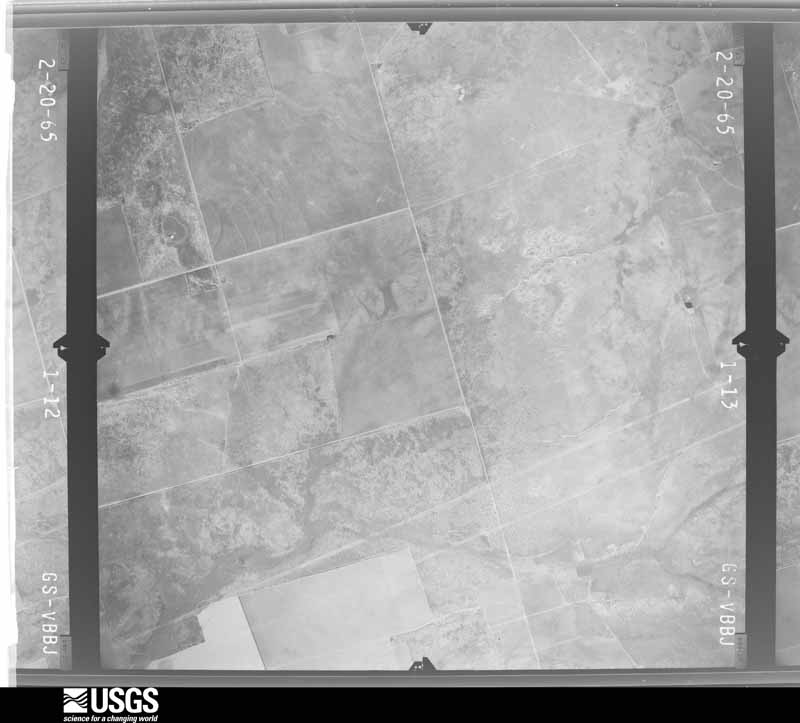
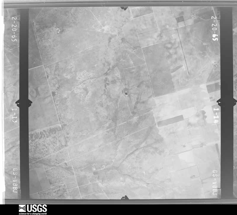
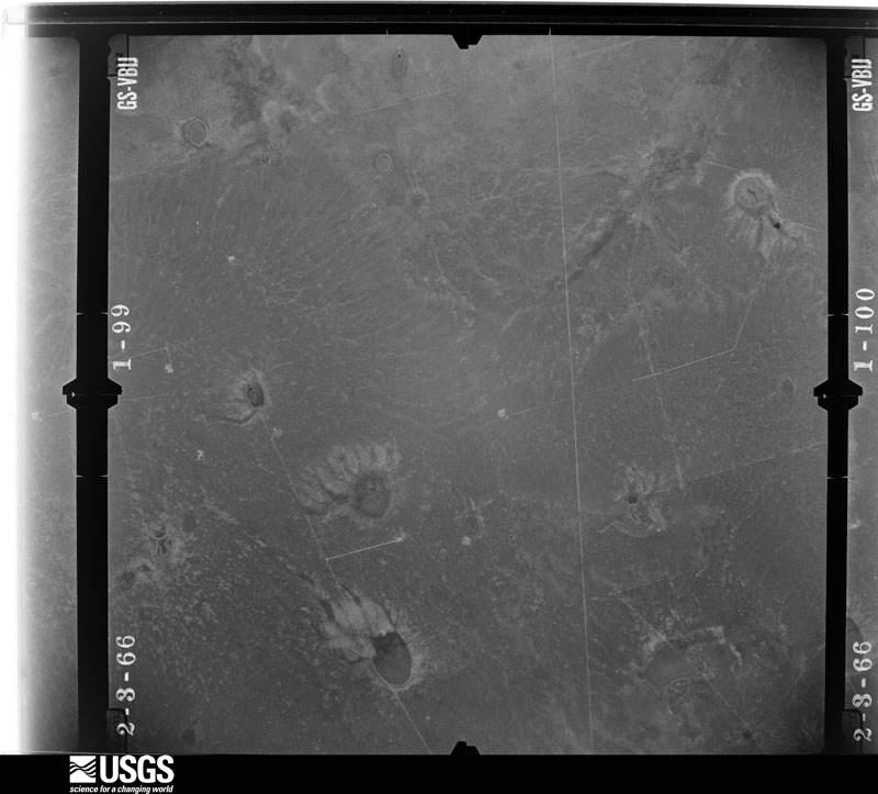
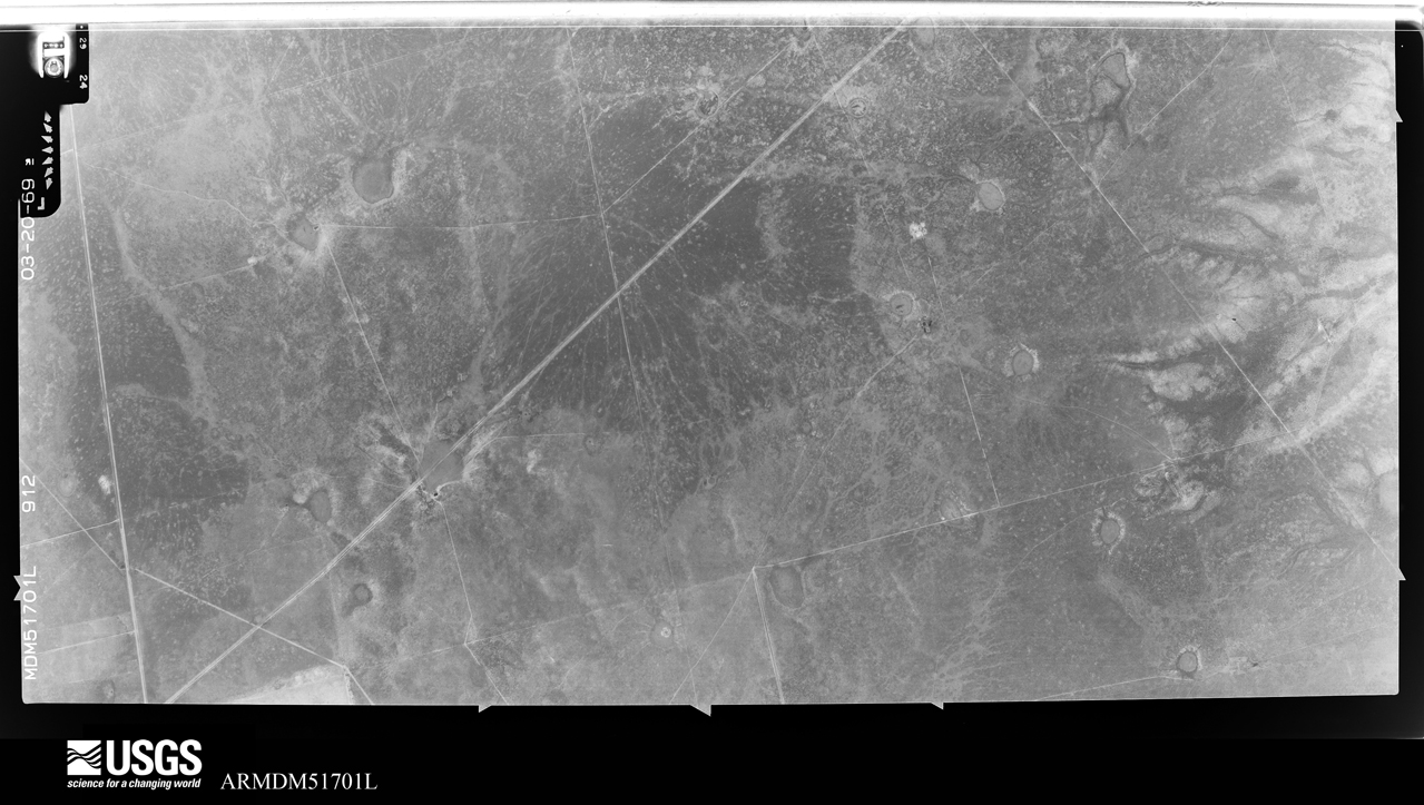

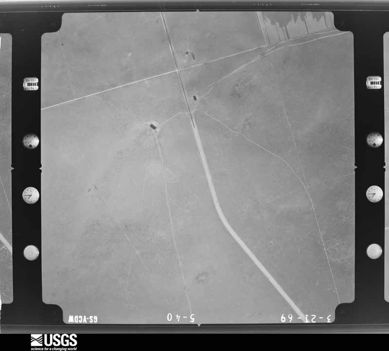
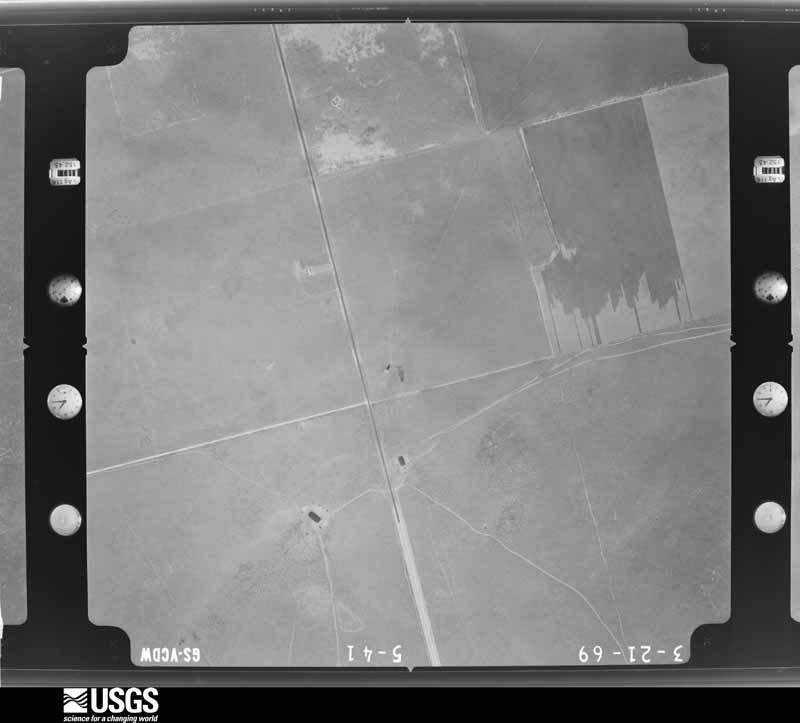










The thermometers that kept this county's weather, as the federal records hold them.
Who lived here in 1950, one enumeration district at a time, as the Census Bureau described each district. Each row opens its official National Archives result, with Population Schedules and ED Maps available there.
Every wildfire the federal occurrence database records inside this county: 115 of them, burning about 28,046 acres. 6 started naturally and 2 were recorded as arson. Each settlement page carries the fires within five miles of it.
| Reported cause | Fires |
|---|---|
| Missing data/not specified/undetermined | 43 |
| Equipment and vehicle use | 36 |
| Debris and open burning | 12 |
| Power generation/transmission/distribution | 7 |
| Smoking | 7 |
| Natural | 6 |
| Railroad operations and maintenance | 2 |
| Arson/incendiarism | 2 |
The five largest, by the area the report gives. None of them was recorded as arson.
| Date | Cause | Size | Reported by | Name on the report |
|---|---|---|---|---|
| 2 March 2008 | Missing data/not specified/undetermined | 5,000 acres | Texas A & M Forest Service | NORTH FIRE |
| 21 April 2011 | Equipment and vehicle use | 3,500 acres | Texas A & M Forest Service | HOLLCUM FIRE |
| 1 June 2008 | Missing data/not specified/undetermined | 2,895 acres | Texas A & M Forest Service | MABEE FIRE |
| 20 June 2006 | Missing data/not specified/undetermined | 2,500 acres | Texas A & M Forest Service | HWY 349 |
| 3 February 2008 | Missing data/not specified/undetermined | 2,240 acres | Texas A & M Forest Service | POWERS |
| 23 June 2008 | Missing data/not specified/undetermined | 1,750 acres | Texas A & M Forest Service | DYNAMITE FIRE |
| 24 March 2008 | Missing data/not specified/undetermined | 1,553 acres | Texas A & M Forest Service | BIG SMOKE |
| 1 March 2008 | Missing data/not specified/undetermined | 1,450 acres | Texas A & M Forest Service | NAIL |
Every settlement page carries the fires within five miles of it - see the settlement index below.
The NOAA Storm Events Database holds 306 reports for this county, causing no deaths, 2 injuries and about $1,258,570 in recorded property damage. Each settlement page carries the reports that name it.
| Kind of event | Reports |
|---|---|
| Hail | 157 |
| Thunderstorm Wind | 78 |
| Tornado | 37 |
| Flash Flood | 31 |
| Funnel Cloud | 2 |
| Heavy Rain | 1 |
The most serious of them, by death, then injury, then recorded damage. The accounts are quoted exactly as the forecast office filed them.
| When | Event | Place named | Harm | What the report says |
|---|---|---|---|---|
| May 1957 | Tornado (F3) | not stated | 1 hurt, $2,500 | no account filed |
| May 1974 | Tornado (F1) | not stated | 1 hurt | no account filed |
| May 1991 | Tornado (F2) | not stated | $250,000 | no account filed |
| August 1979 | Tornado (F1) | not stated | $250,000 | no account filed |
| September 2003 | Thunderstorm Wind | Tarzan | $120,000 | The storm which produced the tornado quickly evolved from a classic supercell structure to a high precipition supercell as the occlusion process occured. This transition resulted in a broad swath of very strong and damaging southwest to west winds which crossed Highway 349. The most intense damage occurred along the stretch of Highway 349 from the intersection with 176 to about 6 miles south of that intersection. This damage correlated with a strong low level divergent pattern in radar velocity products, indicative of an intense downburst in the forward flank downdraft of the storm. These winds blew down numerous power poles (up to twenty-five) from the intersection of Highways 349 and 176, south to ten miles south of that intersection. One metal light pole, which was snapped at the base, was rated to withstand 80 MPH winds. |
| June 2002 | Thunderstorm Wind | Stanton | $75,000 | Multiple reports of 70 mph thunderstorm winds. Damage reported in Stanton included large trees uprooted, roofs lost on three structures, and a large barn was damaged. |
| September 2025 | Flash Flood | Tarzan | $60,000 | A report was received from the public of flash flooding with cars stranded on State Hwy 176 east of Grady. Pictures of the flooding were shared on social media. The time of occurrence is partially estimated by radar. The cost of damages is also estimated. |
| May 1994 | Thunderstorm Wind | Lenorah | $50,000 | no account filed |
| November 1994 | Thunderstorm Wind | Ackerly | $50,000 | no account filed |
| November 1994 | Thunderstorm Wind | Stanton | $50,000 | no account filed |
| November 1994 | Thunderstorm Wind | Stanton | $50,000 | no account filed |
| June 2013 | Thunderstorm Wind | Tarzan | $45,000 | A thunderstorm moved over Martin County and produced strong winds ten miles northeast of Tarzan on a farm. Two old wooden barns were destroyed, and a 20 by 20 foot portable metal building was overturned. There was an estimate of about ten power poles down, and large tree limbs were broke. The cost of damage is a rough estimate. |
| April 2009 | Tornado (EF1) | Tarzan | $40,000 | This tornado first did damage to 7 power poles about 4.5 miles southwest of Tarzan; this was confirmed by contacting the utility company in the area the following day. The estimated time of damage according to radar at this location was around 2020 CST. At 2032 CST, the tornado then tracked east northeastward and impacted a COOP observer's farm about 3 miles southeast of Tarzan, TX damaging multiple pieces of farm equipment, storage tanks and removing 3 roofs from multiple structures. It then continued on its same path snapping 3 power poles about a mile west of Lenorah, TX. The estimated time of damage according to radar was sometime around 2036 CST. This was the last known location of the tornado, although another tornado redeveloped with the same supercell about 20 minutes later. Please see the attached images. |
| March 2000 | Thunderstorm Wind | Tarzan | $40,000 | Thunderstorm outflow winds damaged farm equipment. |
| June 2007 | Thunderstorm Wind | Three Leagues | $35,000 | Multiple powerlines were blown down along Farm to Market Road 2002. |
| May 2020 | Flash Flood | Stanton | $20,000 | Heavy rain fell across Martin County and produced flash flooding in Stanton. There were four stalled cars. The cost of damage is a very rough estimate. |
| May 2020 | Flash Flood | Stanton | $10,000 | Heavy rain moved across Martin County and produced flash flooding near Stanton. There was water up to the steering wheel on a mini van on the service road at mile marker 158 on I-20. The cost of damage is a very rough estimate. |
| May 2015 | Hail | Stanton | $10,000 | A thunderstorm moved across Martin County and produced tennis ball sized hail in Stanton. The only damage that was reported during a damage survey was a few dents on the hood of some cars. The cost of damage is a very rough estimate. |
| April 2008 | Hail | Ackerly | $10,000 | Baseball sized hail fell at the intersection of Farm to Market Road 26 and Farm to Market Road 2002. |
| June 2003 | Thunderstorm Wind | Stanton | $10,000 | Law enforcement officials reported power lines blown down by damaging thunderstorm winds. |
| June 1997 | Thunderstorm Wind | Stanton | $10,000 | High winds knocked down power poles in Stanton |
| July 2016 | Thunderstorm Wind | Stanton | $7,000 | A thunderstorm moved across Martin County and produced wind damage in Stanton. There was a roof partially blown off of a home in Stanton. A large tree was also blown down. The time of damage was estimated from radar. The cost of damage is a very rough estimate. |
| April 2009 | Tornado (EF1) | Lenorah | $7,000 | A damage survey conducted across west central Martin County concluded that there was a tornado that tracked northeastward for approximately 7 miles, doing minor damage on the way. The first signs of damage were observed at a residence where a 10'X6'X6' wooden storage structure was blown to the east northeast about 60 feet. According to radar imagery, this was near 2055 PM CST. In addition, minor roof damage was done to the home by west winds and the family's trampoline was wrapped around a nearby tree in the backyard. The tornado then continued northeastward where it passed just to the north of two power poles that were snapped at the ground by damaging west winds sometime around 2112 PM CST. The closest estimate of the path taken by the tornado has been attached. |
| September 2015 | Thunderstorm Wind | Stanton | $5,000 | A thunderstorm moved across Martin County and produced wind damage in Stanton. There were broken tree limbs and damaged car ports in Stanton. The cost of damage is a very rough estimate. |
| June 2013 | Thunderstorm Wind | Lenorah | $5,000 | A thunderstorm moved over Martin County and produced wind damage in Lenorah. Part of a roof was blown off of a house. The cost of damage is a rough estimate. |
| May 1994 | Hail | Stanton | $5,000 | no account filed |
| May 1994 | Tornado (F0) | Lenorah | $5,000 | no account filed |
| May 1994 | Hail | Stanton | $5,000 | no account filed |
| November 1994 | Thunderstorm Wind | Stanton | $5,000 | no account filed |
| June 2016 | Thunderstorm Wind | Stanton | $4,000 | A thunderstorm moved across Martin County and produced an estimated 60 mph wind gust in Stanton. In southwest Stanton, playground equipment was turned over and a roof was removed from part of a house. The cost of damage is a very rough estimate. |
| June 2021 | Thunderstorm Wind | Tarzan | $3,000 | A thunderstorm moved across Martin County and produced wind damage in Tarzan. There was roof damage to a metal outbuilding. The time was estimated by radar. The cost of damage is a very rough estimate. |
| March 2000 | Hail | Flower Grove | $3,000 | Vehicles damaged. |
| March 1995 | Thunderstorm Wind | Martinsville | $3,000 | Numerous trees and power lines were blown down by high winds., |
| May 1995 | Tornado (F1) | not stated | $3,000 | A farmer reported a tornado that damaged eight trees, as well as a metal grain bin and four sections of an irrigation system. Quarter-size hail accompanied this storm. |
| June 1998 | Thunderstorm Wind | Stanton | $2,500 | Utility poles were knocked down by microburst winds from a small single cell storm that was in a broken line of storms moving to the east. |
| May 1969 | Tornado (F0) | not stated | $2,500 | no account filed |
| June 1998 | Thunderstorm Wind | Tarzan | $1,000 | Just as occurred in SW Dawson County, a long duration of wind occurred from this storm as it developed southward into Martin County. Many tree limbs were broken off and a small shed was damaged. A total of 2.25" of rain was recorded here. |
| October 2015 | Flash Flood | Three Leagues | $750 | Heavy rain fell across Martin County and produced flash flooding. There was a report from the Martin County Sheriff's Office of people stranded in high water on Highway 349 near the Martin and Dawson County line. The cost of damage is a rough estimate. |
| June 2020 | Thunderstorm Wind | Lenorah | $500 | A thunderstorm moved across Martin County and produced tree damage and estimated 60 mph winds. The cost of damage is a very rough estimate. |
| March 2020 | Flash Flood | Tarzan | $500 | Heavy rain fell across Martin County and produced flash flooding. There was a lane closure on SH 349 due to high water in the passing lane. The cost of damage is a very rough estimate. |
| May 1994 | Hail | Stanton | $500 | no account filed |
| May 1994 | Hail | Stanton | $500 | no account filed |
| May 1993 | Hail | Ackerly | $500 | no account filed |
| May 2021 | Hail | Three Leagues | $400 | A thunderstorm produced golf ball sized hail two miles east of Three Leagues. The wind driven hail broke south facing windows on a home. The cost of damage is a very rough estimate. |
| September 2014 | Flash Flood | Lenorah | $300 | Heavy rain fell across Martin County and produced flash flooding. A truck driver reported that water was so high on State Highway 137 just north of Farm to Market Road 846 in Martin County that he was barely able to make it through the water. The cost of damage is a very rough estimate. |
| September 2014 | Flash Flood | Tarzan | $300 | Heavy rain fell across Martin County and produced flash flooding near Tarzan. State Highway 176 was reported to be under water. The cost of damage is a very rough estimate. |
| June 1992 | Tornado (F0) | not stated | $250 | no account filed |
| September 1981 | Tornado (F0) | not stated | $250 | no account filed |
| September 2017 | Flash Flood | Ackerly | $200 | Heavy rain fell across Martin County and produced flash flooding. FM 26 between FM 2212 and FM 3263 in Martin County was closed due to high water. The cost of damage is a very rough estimate. |
| May 1983 | Tornado (F0) | not stated | $30 | no account filed |
| May 1982 | Tornado (F0) | not stated | $30 | no account filed |
| May 1979 | Tornado (F0) | not stated | $30 | no account filed |
| May 1957 | Tornado (F2) | not stated | $30 | no account filed |
| May 2025 | Hail | Stanton | - | Golf ball-size hail was reported in Stanton by the public. The time of occurrence was estimated by both the report and by radar. |
| June 2025 | Hail | Stanton | - | A report was received from the public of half dollar-size hail in Stanton. The time of occurrence is estimated from radar. |
| June 2025 | Hail | Tarzan | - | An off duty NWS employee reported hen egg-size hail. The time of occurrence is estimated by radar. |
| June 2025 | Hail | Lenorah | - | A report was received from the public of approximately tennis ball-size hail. The time of occurrence is estimated by radar. |
| June 2025 | Hail | Stanton Rdrunner Arp | - | A storm chaser reported golf ball-size hail in Stanton. The time of occurrence is estimated by radar. |
| June 2025 | Hail | Stanton | - | Multiple pictures were received from social media of tennis ball-size hail in Stanton. The time of occurrence is estimated by radar. |
| June 2025 | Thunderstorm Wind | Tarzan | - | The West Texas Mesonet station 84 2WNW Tarzan/Martin County recorded a 67 mph wind gust. |
Named settlements recorded in the Geographic Names Information System, each with the topographic sheets covering it. Villages, hamlets and abandoned places alike. Each is shown with the nearest named watercourse or landform and the survey quadrangle it falls on.
Tarzan-Lenorah census division · 79331 · Flower Grove quadrangle
8 sheets, 1954 to 1986