 Block
BlockFrom the record
5 National Register listings published here.
Sources: the National Register database, National Park Service
36 topographic sheets cover 12 settlements here, and 5 properties are on the National Register of Historic Places.
5 National Register listings published here.
Sources: the National Register database, National Park Service
Every property in this county listed on the National Register of Historic Places, with the year it was listed and the federal nomination document.
| Photograph | Property | Type | Listed | Reference |
|---|---|---|---|---|
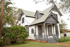 | Brown-Dorsey House | building | 1982 | 82004516 |
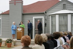 | George W. Bush Childhood Home | building | 2004 | 04000768 |
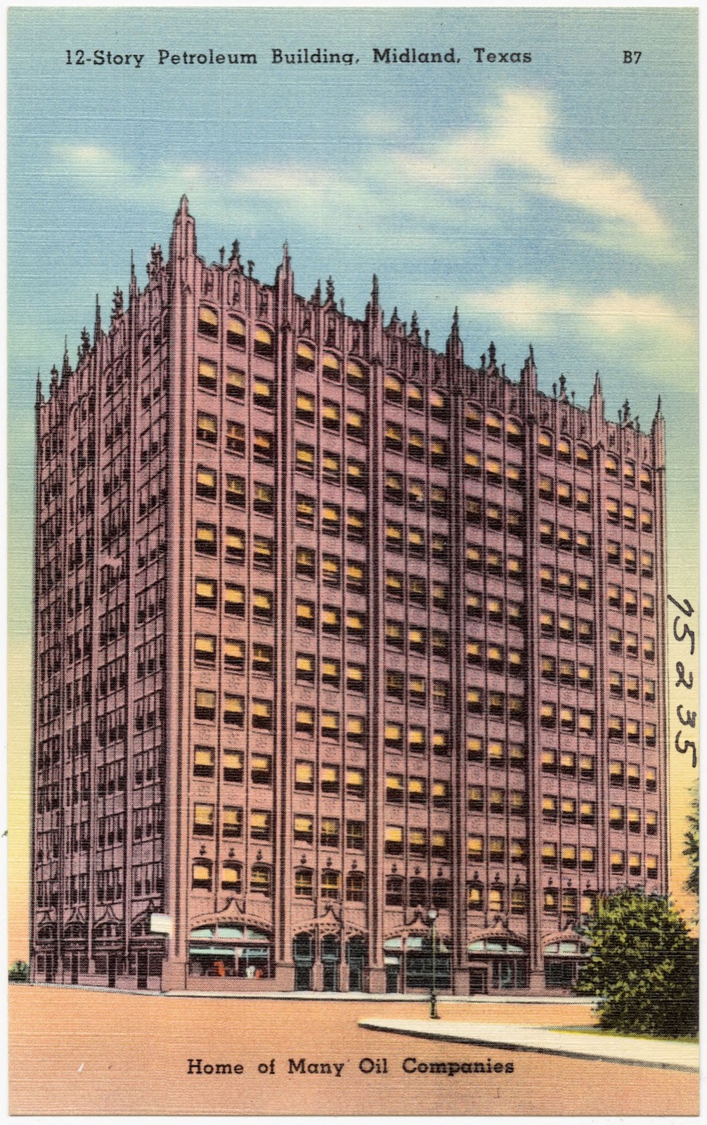
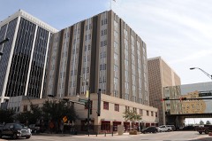 | Midland Tower | building | 2015 | 14001228 |
| Fred and Juliette Turner House | building | 1988 | 88001148 | |
 | Vaughn Building | building | 2016 | 16000352 |
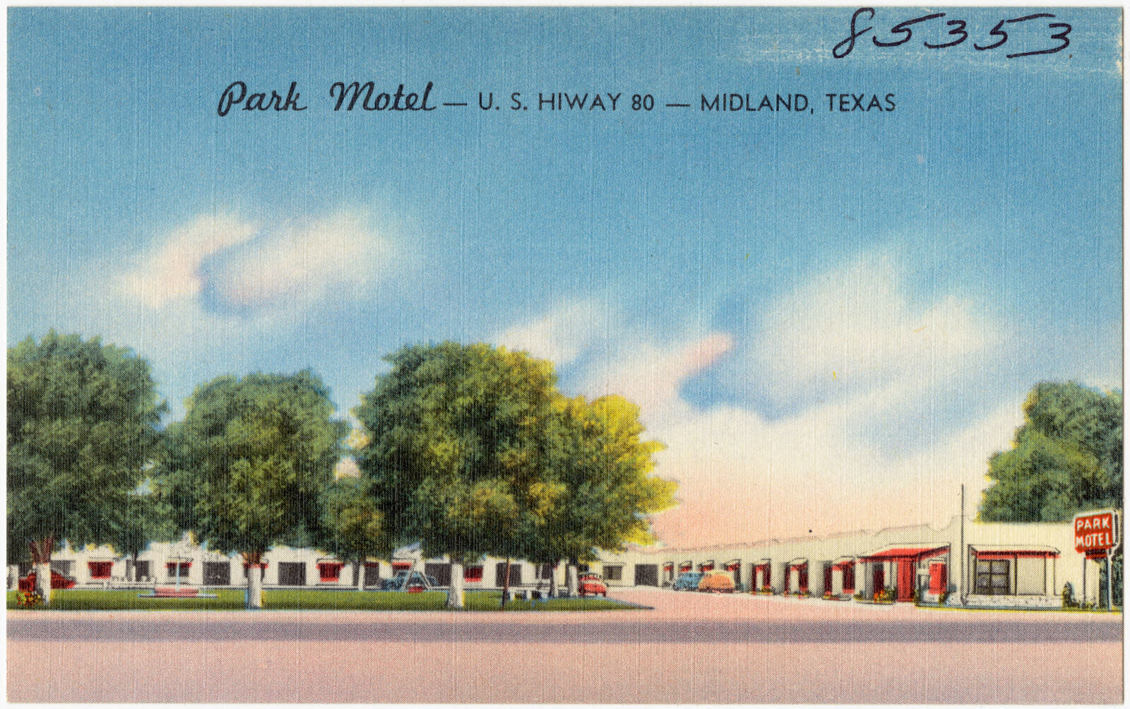
Selected from the Digital Public Library of America's 31 image records catalogued for this county. Every one shown here carries a public-domain status or a licence that permits reuse on a site that carries advertising; non-commercial, share-alike and restricted images are excluded. The selection is spread across the county's towns (at most eight per town), so no single institution's bulk upload crowds out the rest. Each opens the holding library's record, and the complete set at the Digital Public Library of America is one click away.








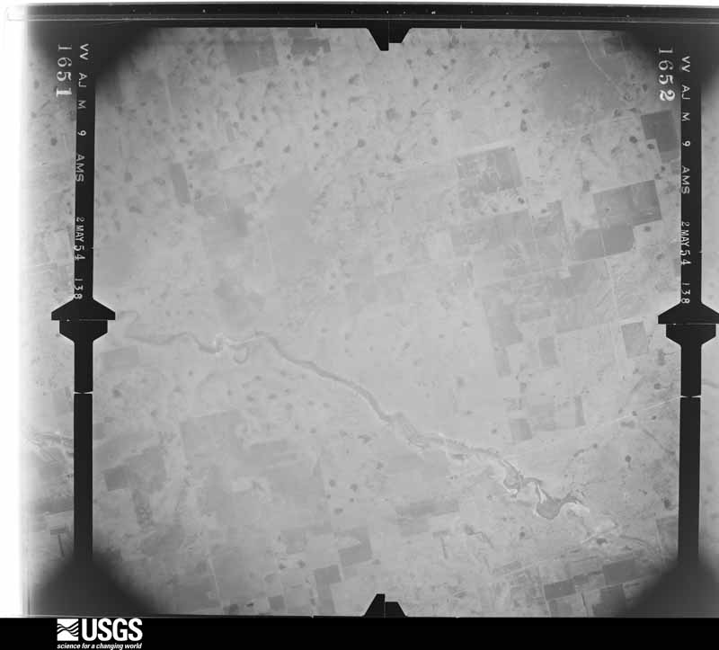
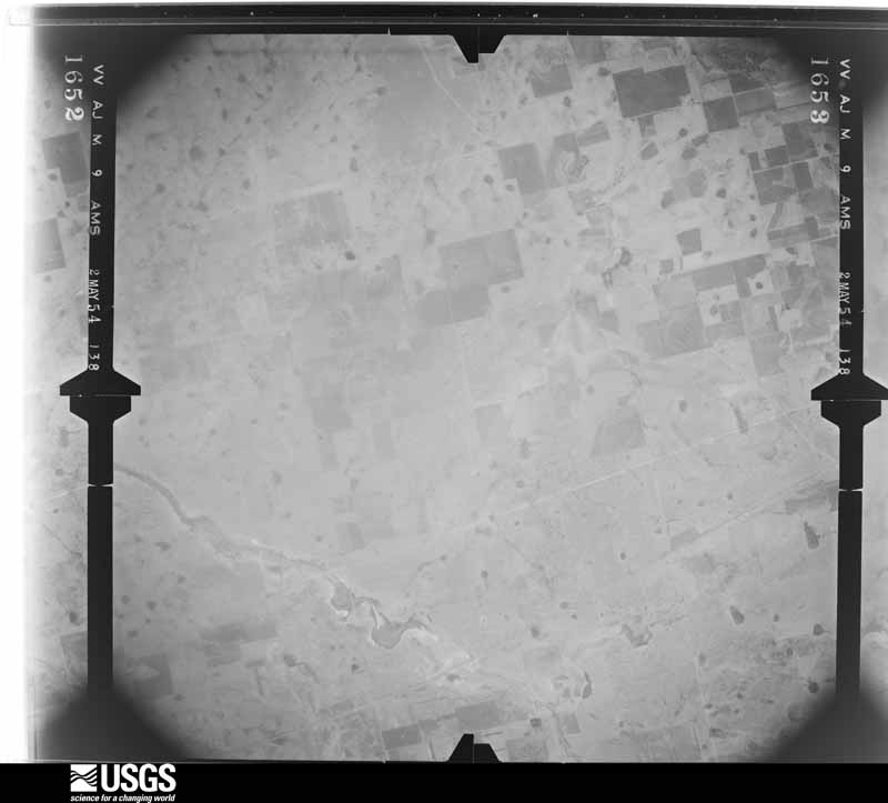
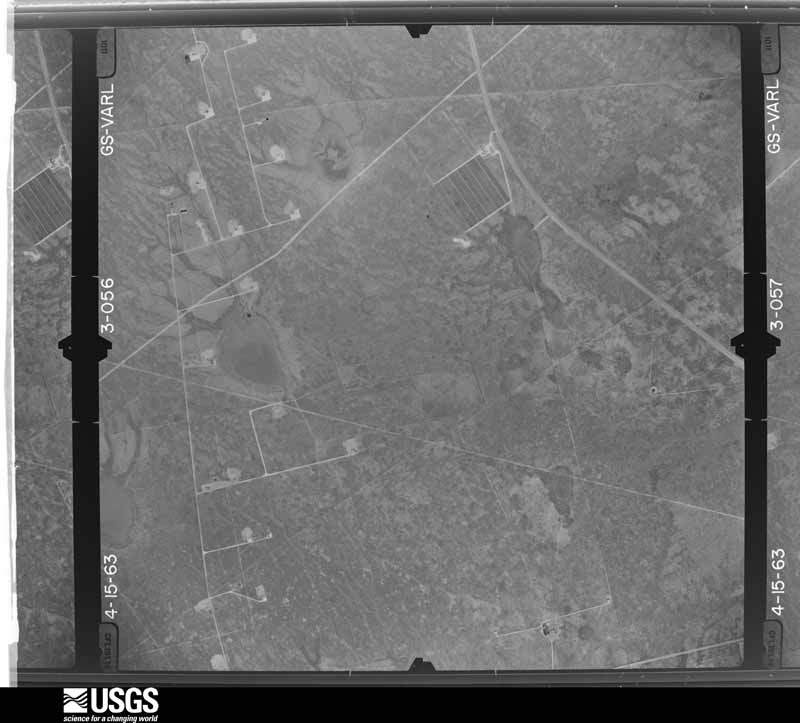
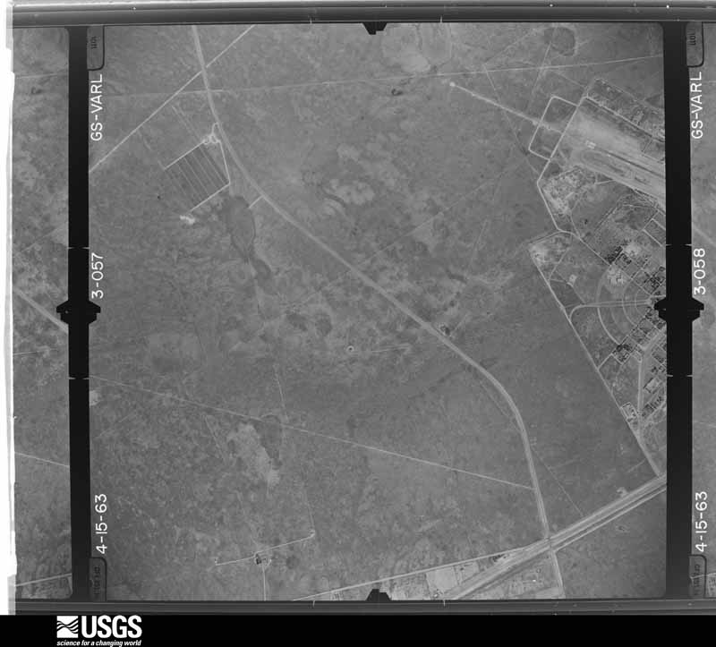
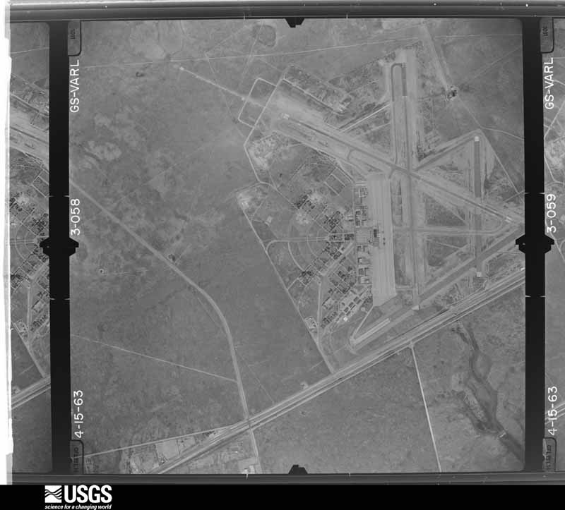
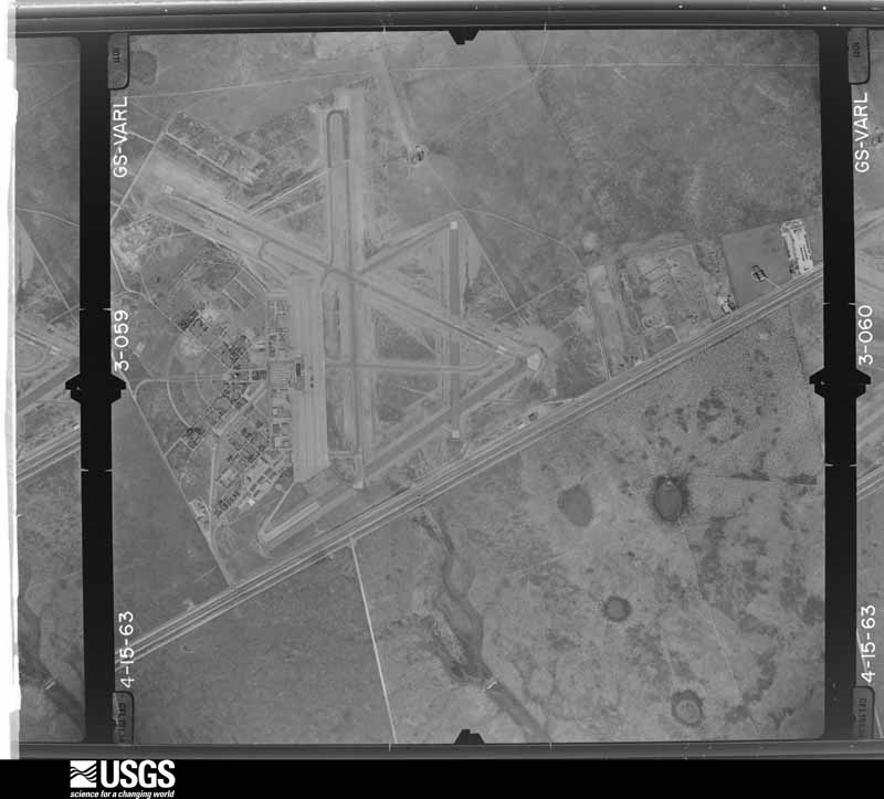
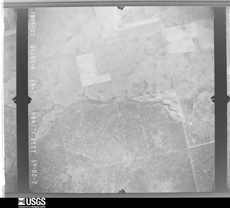
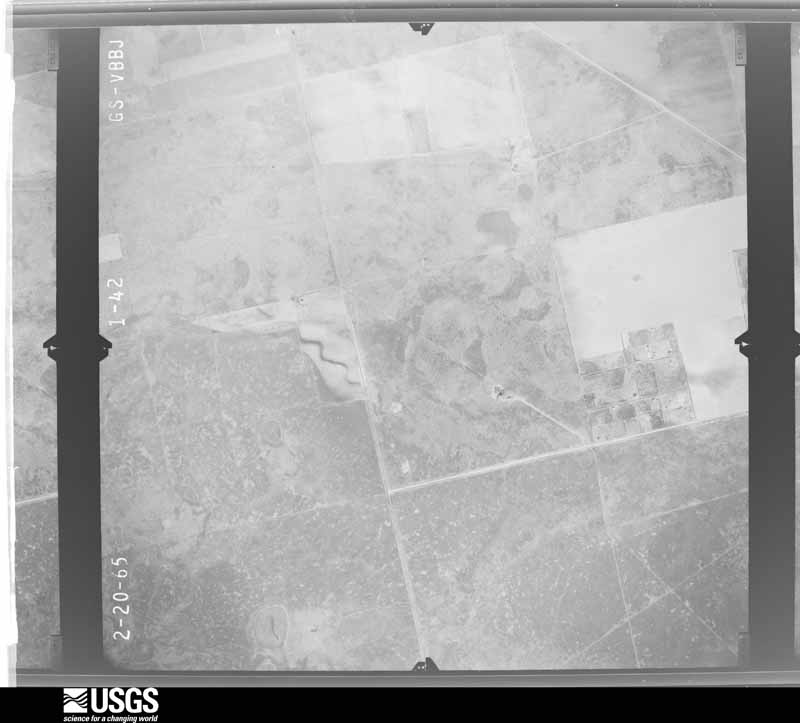
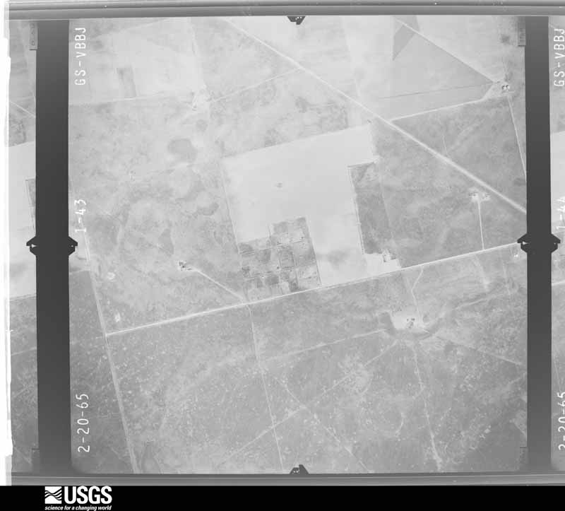
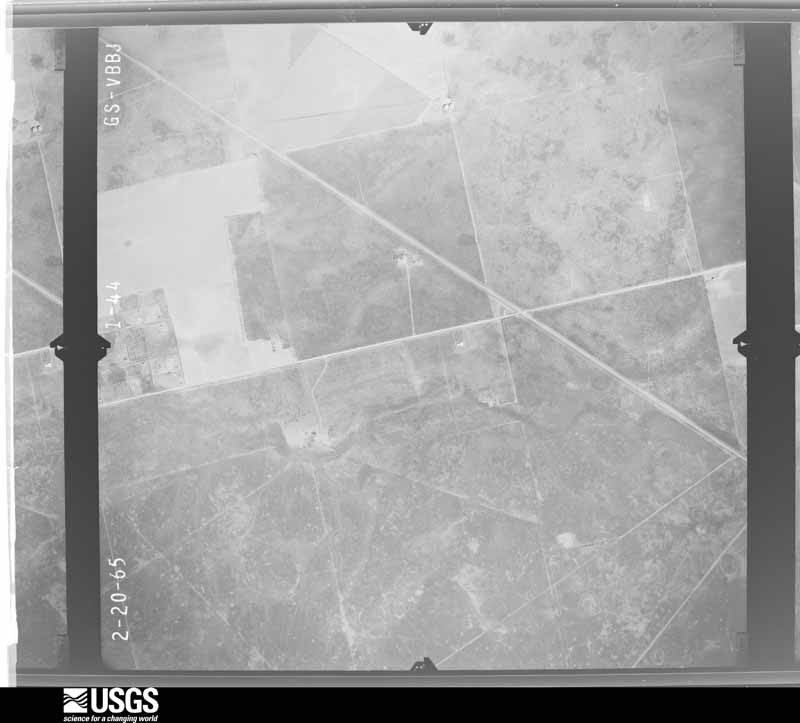
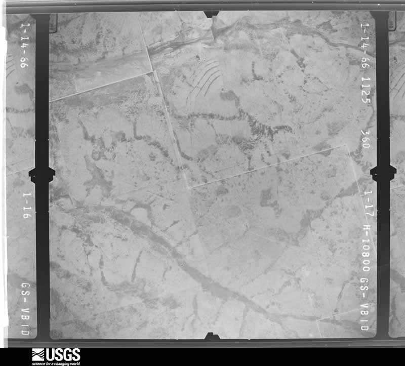
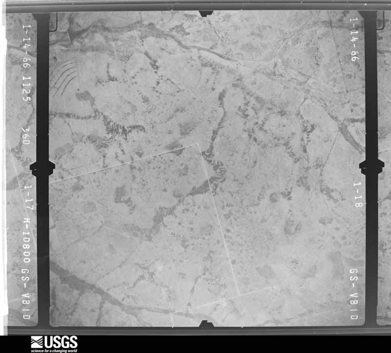
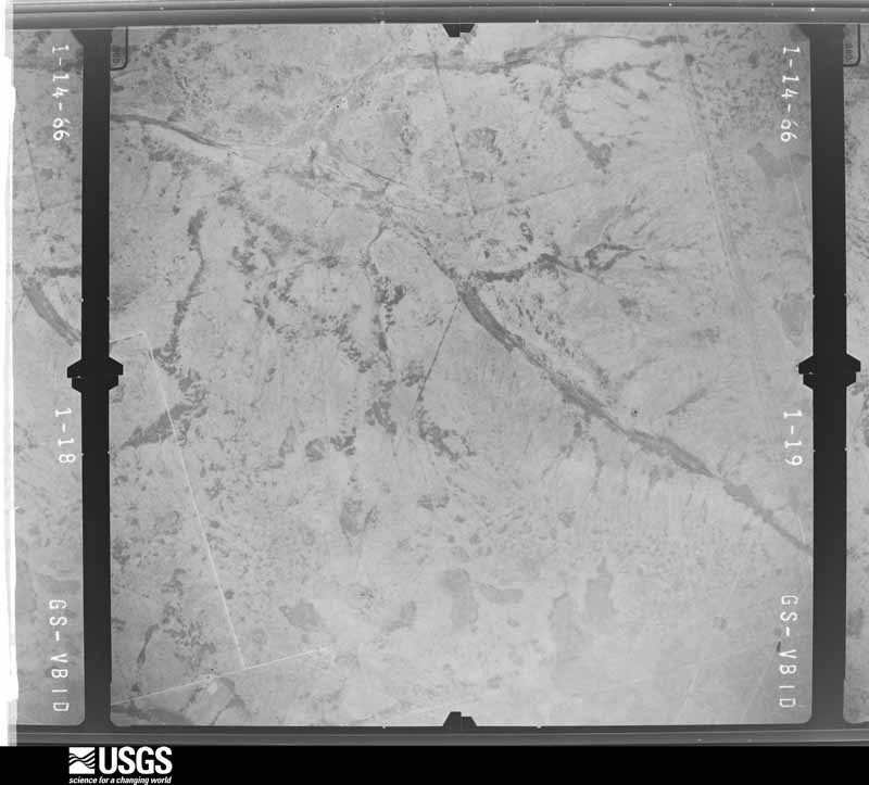
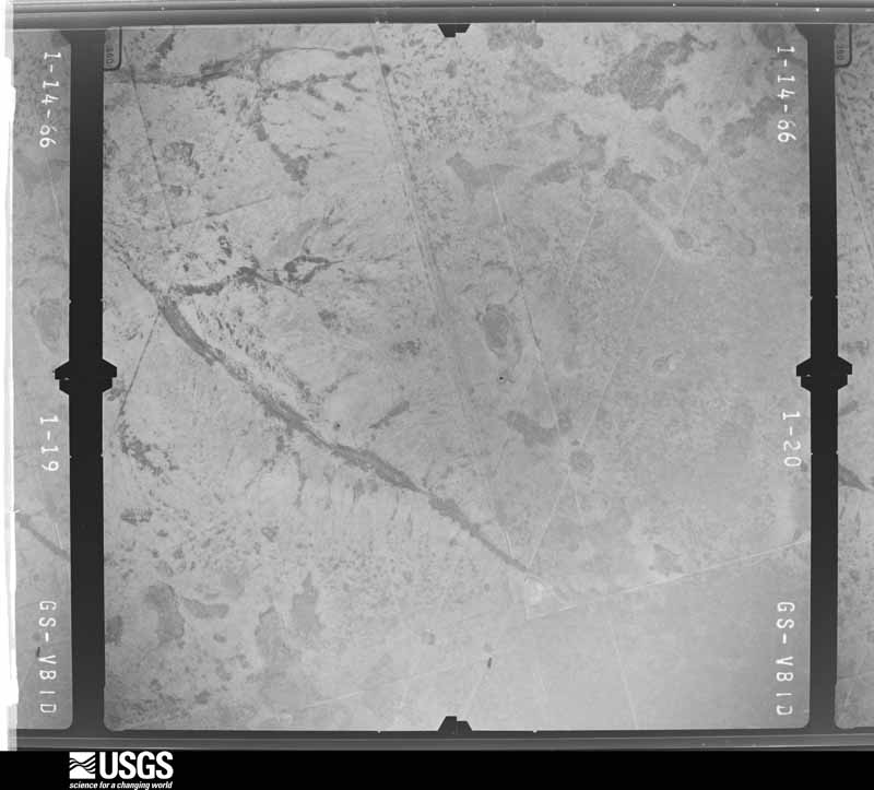
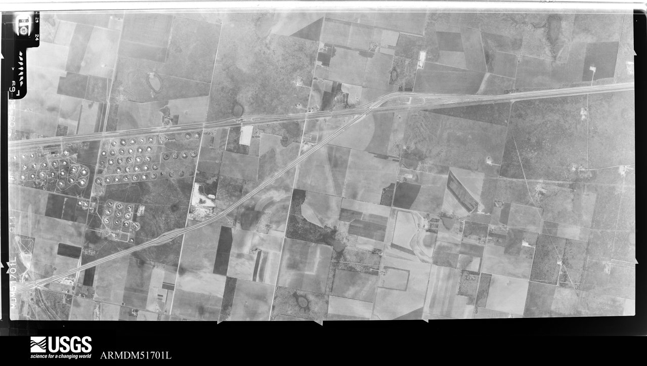
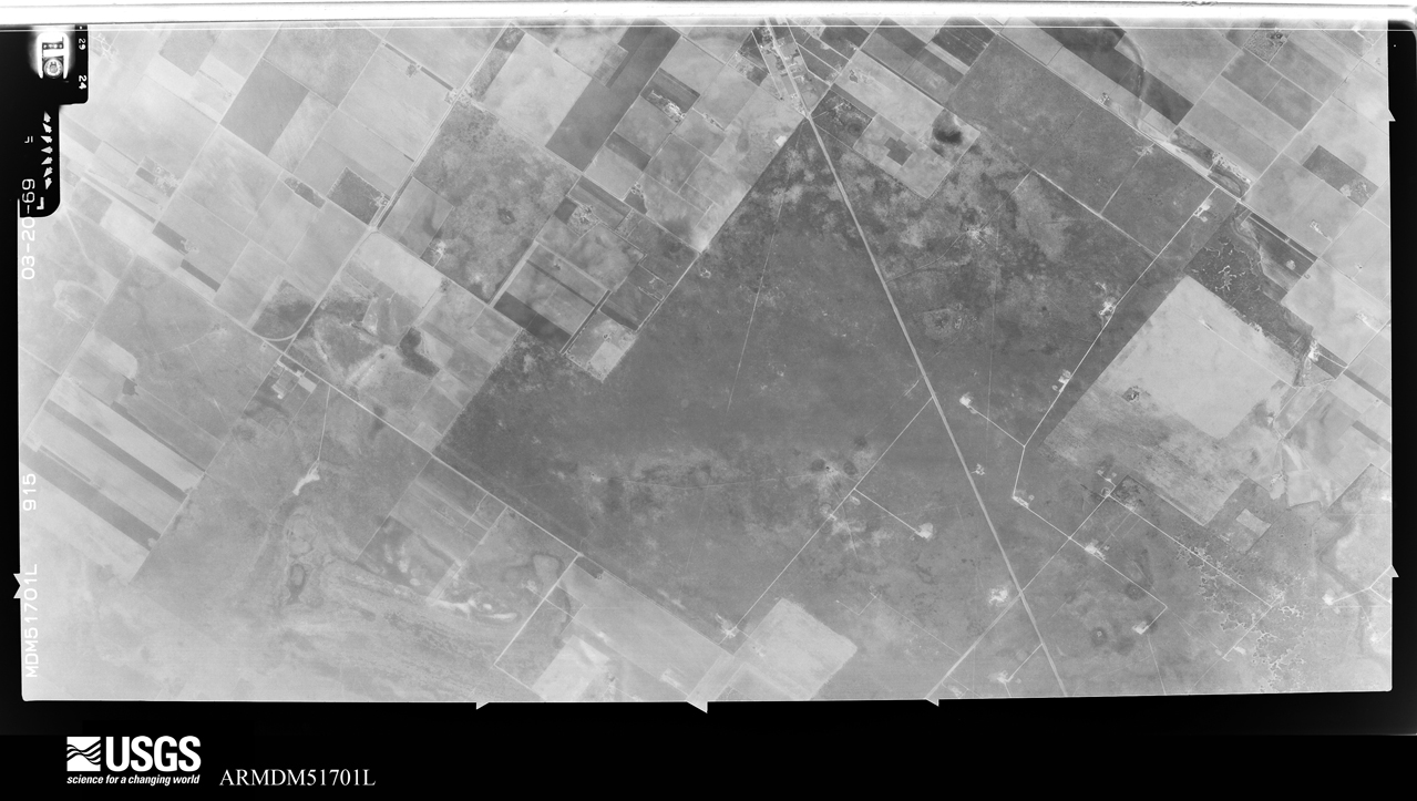
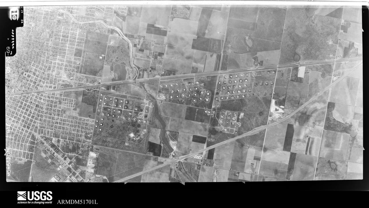
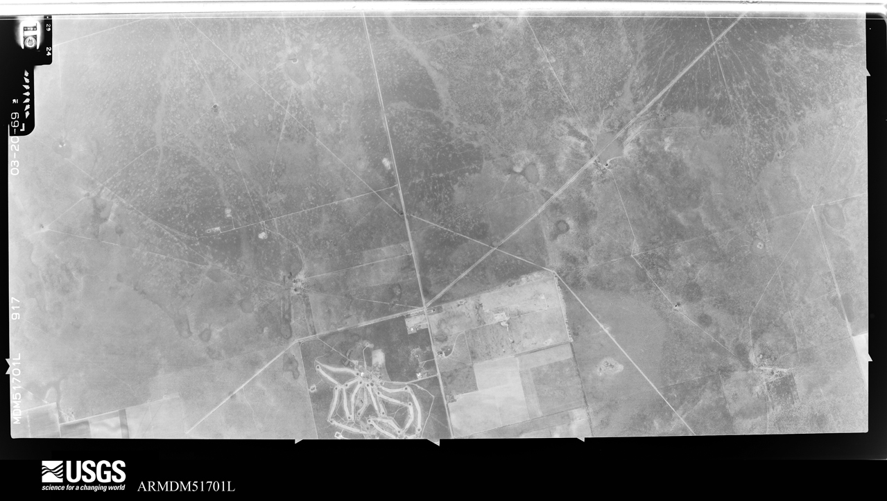
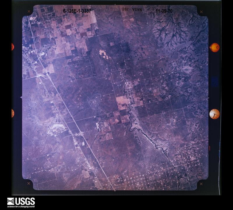
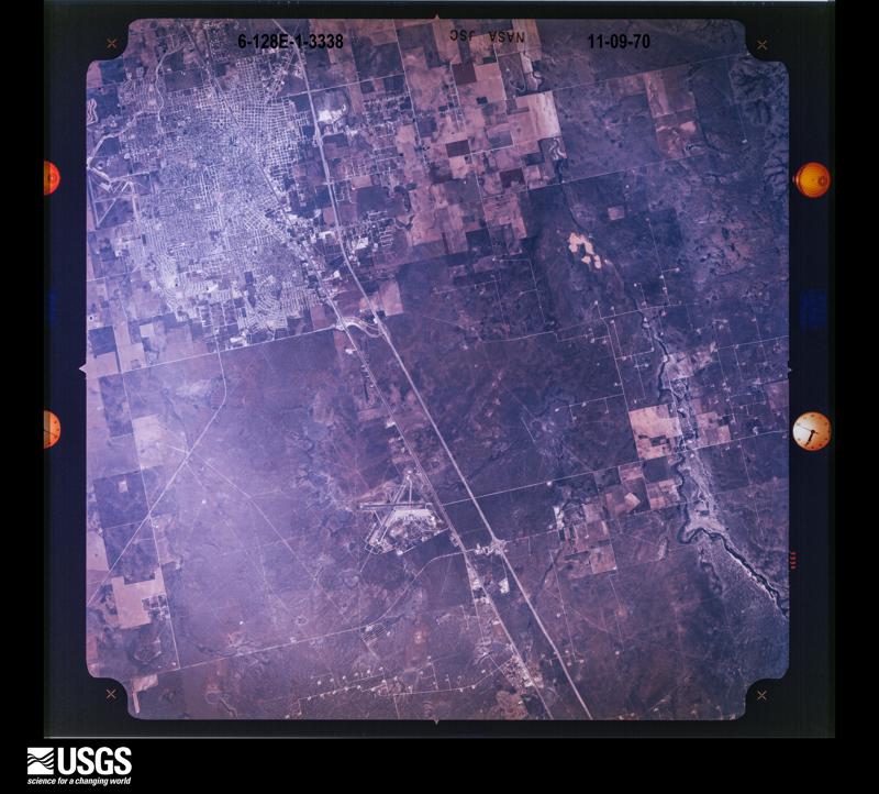
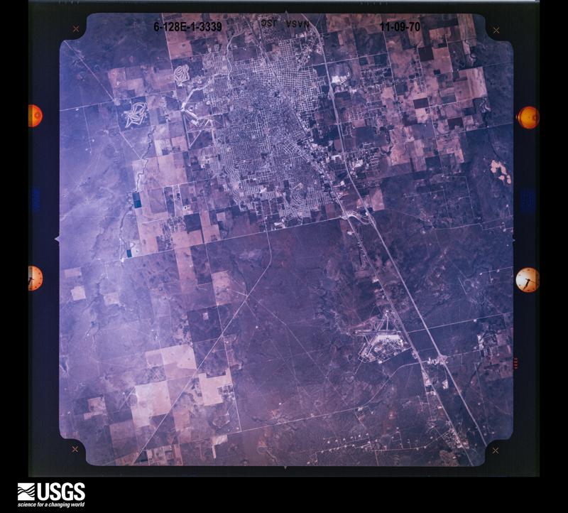
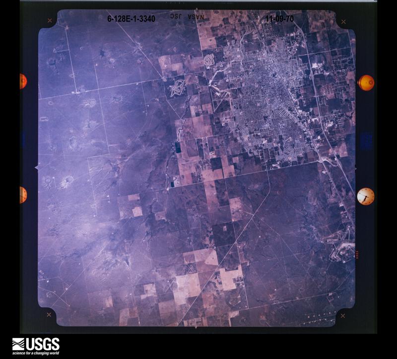
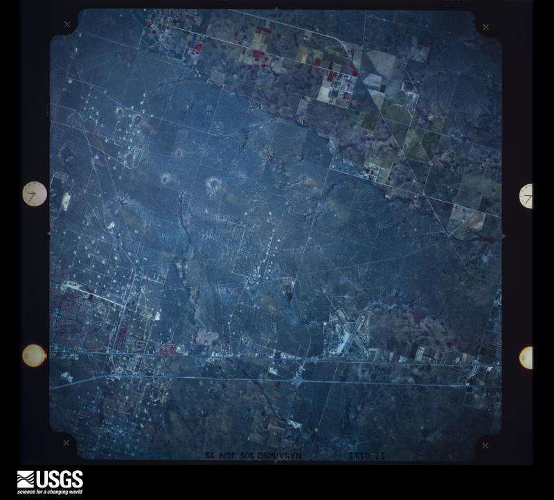
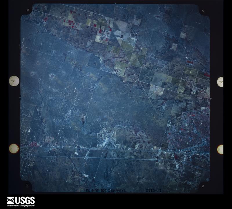
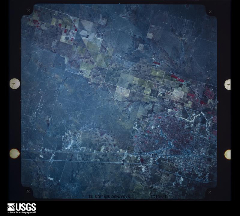
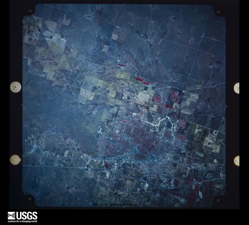
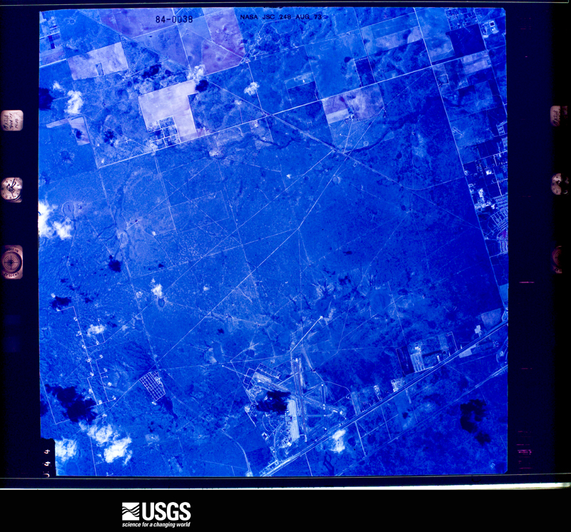
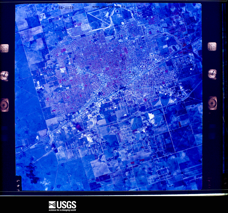
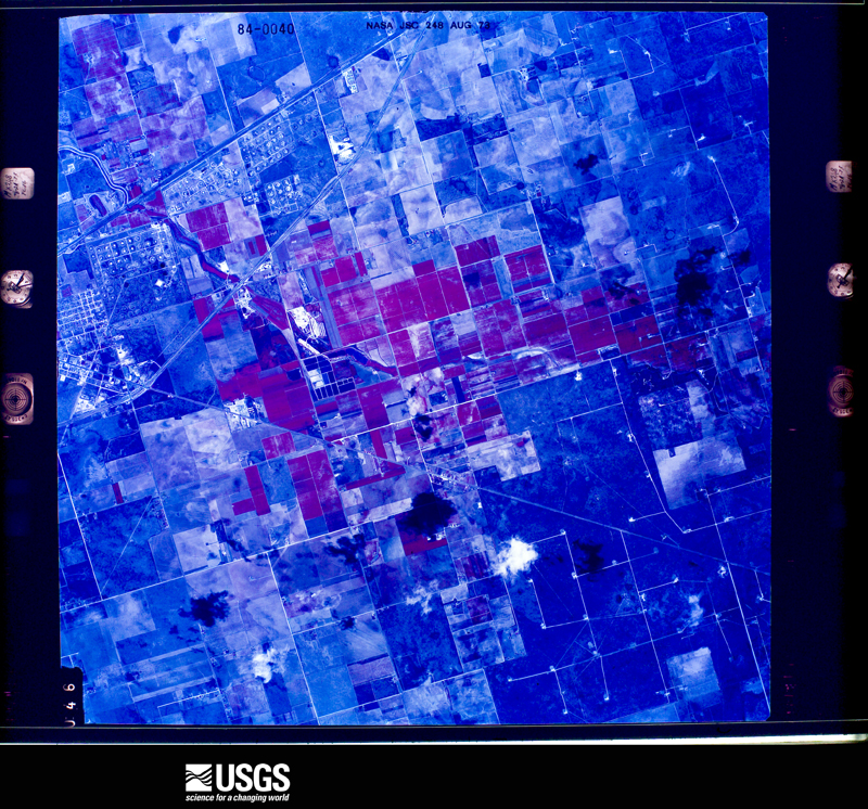
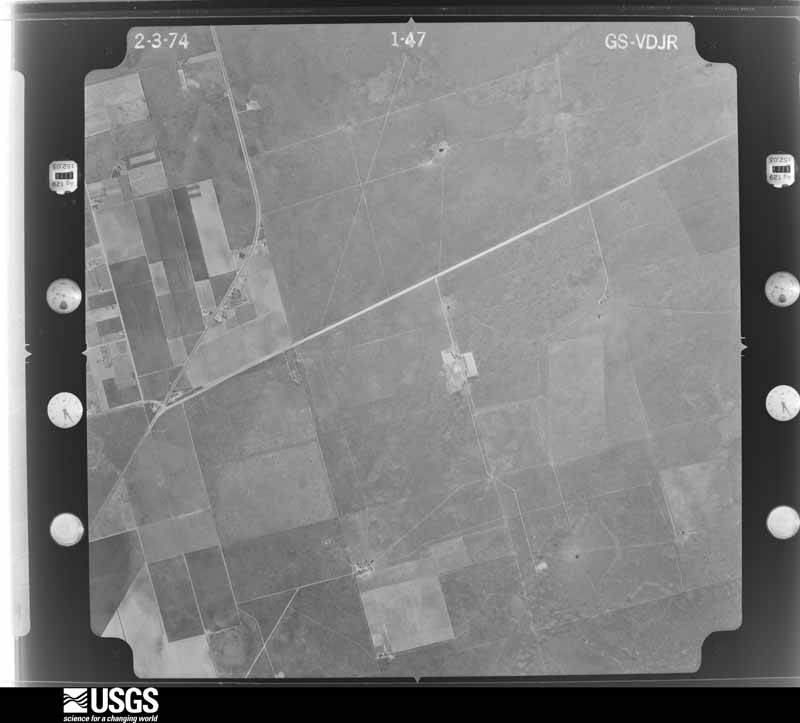
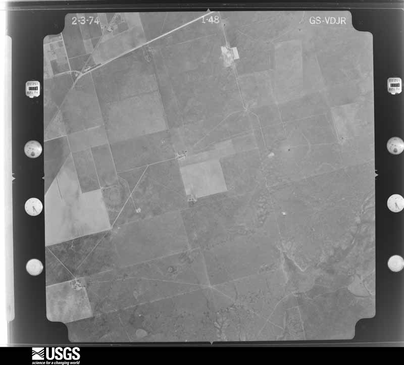
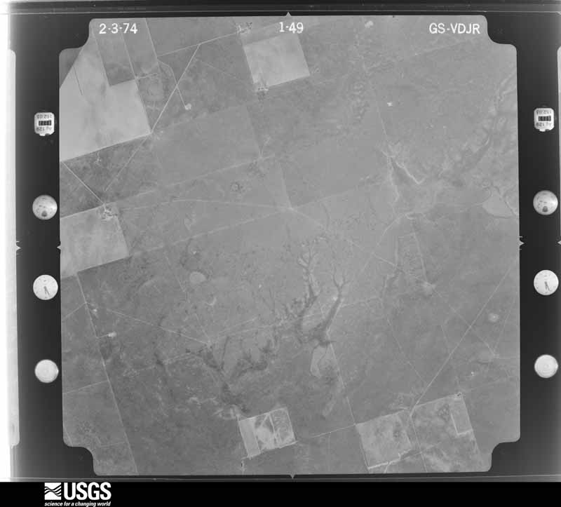
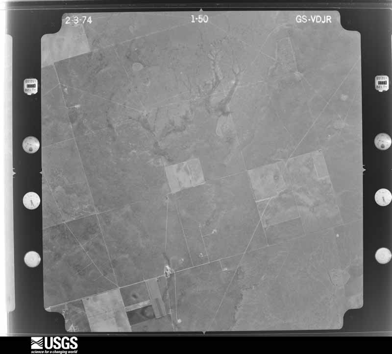
Flown by the U.S. Geological Survey between 1937 and 1989, the Aerial Photo Single Frames collection is the definitive mid-century view of the land: fields, roads and rivers as the camera saw them. The Survey holds 1,345 frames inside the rectangle that bounds this county; the 40 frames below were taken over the county itself, chosen across the decades of flights (at most four a year from that rectangle), so one flight cannot crowd out the rest. The full set is free to browse and download at EarthExplorer under the dataset Aerial Photo Single Frames.







The thermometers that kept this county's weather, as the federal records hold them. The extremes below are measured values from those records, not estimates.
Who lived here in 1950, one enumeration district at a time, as the Census Bureau described each district. Each row opens its official National Archives result, with Population Schedules and ED Maps available there.
Every wildfire the federal occurrence database records inside this county: 366 of them, burning about 43,760 acres. 21 started naturally and 8 were recorded as arson. Each settlement page carries the fires within five miles of it.
| Reported cause | Fires |
|---|---|
| Missing data/not specified/undetermined | 152 |
| Equipment and vehicle use | 72 |
| Debris and open burning | 54 |
| Power generation/transmission/distribution | 29 |
| Smoking | 25 |
| Natural | 21 |
| Arson/incendiarism | 8 |
| Misuse of fire by a minor | 4 |
| Recreation and ceremony | 1 |
The five largest, by the area the report gives. None of them was recorded as arson.
| Date | Cause | Size | Reported by | Name on the report |
|---|---|---|---|---|
| 9 April 2011 | Equipment and vehicle use | 16,500 acres | Texas A & M Forest Service | HICKMAN FIRE |
| 16 March 2008 | Smoking | 5,500 acres | Texas A & M Forest Service | GREENWOOD |
| 24 May 2011 | Missing data/not specified/undetermined | 5,000 acres | Texas A & M Forest Service | CEED FIRE |
| 1 May 2008 | Missing data/not specified/undetermined | 2,500 acres | Texas A & M Forest Service | PRICE |
| 11 June 2011 | Natural | 2,000 acres | Texas A & M Forest Service | S CURVE FIRE |
| 26 April 2011 | Power generation/transmission/distribution | 1,200 acres | Texas A & M Forest Service | PMA FIRE |
| 19 March 2009 | Power generation/transmission/distribution | 1,000 acres | Texas A & M Forest Service | GREENWOOD FIRE |
| 3 June 2008 | Equipment and vehicle use | 800 acres | Texas A & M Forest Service | not named |
Every settlement page carries the fires within five miles of it - see the settlement index below.
The NOAA Storm Events Database holds 986 reports for this county, causing 2 deaths, 8 injuries and about $187,882,120 in recorded property damage. Each settlement page carries the reports that name it.
| Kind of event | Reports |
|---|---|
| Hail | 456 |
| Thunderstorm Wind | 283 |
| Flash Flood | 198 |
| Tornado | 36 |
| Heavy Rain | 6 |
| Lightning | 4 |
| Flood | 3 |
The most serious of them, by death, then injury, then recorded damage. The accounts are quoted exactly as the forecast office filed them.
| When | Event | Place named | Harm | What the report says |
|---|---|---|---|---|
| May 2010 | Flash Flood | Midland | 1 killed, 1 hurt, $175,000 | At 13:46 pm CST, local law enforcement reported that a car had been swept into the Scharbauer Draw near Jackson Street and Scharbauer Drive. When emergency officials arrived on the scene, they were unable to locate the car. Later that evening, a wrecker service was removing the reemerged car from the water when they found the body of a female driver inside. Numerous cars were submerged throughout Midland, and several high water rescues were executed. The police received over 92 submerged vehicle reports, although some may have been repeats. The monetary damage for this event was estimated based on the number of vehicles observed under water. |
| July 2017 | Lightning | Midland | 1 killed | A thunderstorm with frequent lightning developed across Midland County and moved across the City of Midland. A 43 year old man was struck by lightning at the 300 block of Maple Avenue and was later declared dead at the hospital. |
| May 2019 | Tornado (EF2) | Spraberry | 2 hurt, $250,000 | A thunderstorm moved across Midland County and produced a tornado 21 miles southeast of the City of Midland. This tornado was first viewed from near the intersection of Farm to Market Road 1787 and State Highway 349, looking southeastward. Primary indications are that the tornado developed 21 miles southeast of the City of Midland, in open fields south of County Road 300 and east of State Highway 349. The tornado moved northeastward, snapping power poles along County Road 300, and produced significant damage along County Road 1160 and Farm to Market Road 1379. The snapped power poles, the damage to two RVs along County Road 1160, and the damage to manufactured trailers along FM 1379 are all indicative of EF-2 tornado damage. The tornado lifespan was 10 minutes long with an estimated peak wind of 125 mph. The cost of damage is a very rough estimate. |
| May 2024 | Thunderstorm Wind | Warfield | 2 hurt, $150,000 | Odessa FD/PD responded to a report of an overturned double-wide trailer home along CR 172. This was likely the result of intense RFD winds on the backside of the tornadic circulation. Two occupants were injured, and one was taken to the hospital. Time is estimated from radar. Wind speeds and property damage costs are estimations. |
| April 2009 | Hail | Midland | 1 hurt, $161,200,000 | Numerous roofs throughout Midland, TX were damaged during this event. A local newspaper clipping with a quote from a major roofing company estimated 40 to 50 percent of the homes in Midland needed to be re-roofed. The average cost to replace a shingled roof is anywhere from $8-$10K. This resulted in an estimated $160 million in roof damage. In addition to homes being damaged, multiple vehicles also received damage from the hail. According to local dent repair shops and car dealers across the area, an estimated 800 vehicles had to be repaired resulting in $1.2 million in damage. A Midland woman was also struck in the stomach by a hail stone, after it broke through her dining room window. Her injuries were only minor and did not require medical attention. |
| September 2021 | Thunderstorm Wind | Greenwood | 1 hurt, $60,000 | A thunderstorm produced wind damage near Midkiff. Two unanchored construction trailers were damaged. One injury was reported. The wind was estimated to be 60 to 70 mph. The time was estimated by radar. The cost of damage is a very rough estimate. |
| March 2004 | Lightning | (Maf) Midland Intl | 1 hurt | A man was injured when lightning struck the metal equiment he was working on. He was treated at an area hospital and was released later in the day. |
| April 1999 | Hail | Midland | $8,000,000 | no account filed |
| April 1999 | Thunderstorm Wind | Midland | $3,000,000 | no account filed |
| September 1995 | Hail | Midland | $2,500,000 | A classic supercell thunderstorm moved into northwestern Andrews County after dropping large hail and causing strong winds in Southeast New Mexico. Winds up to 70 mph and golf ball-size hail were reported as the storm moved southeast across parts of the Permian Basin. The storm tracked across Andrews County where power lines were downed southwest of Andrews. The storm moved through the northeast corner of Ector County then into northwestern Midland County making a beeline for Midland. Golf ball-size hail was reported in the western parts of Midland damaging roofs and autos. Just south of Interstate 20 windows were broken at houses as the storm passed through that area. |
| June 2013 | Thunderstorm Wind | (Maf) Midland Intl | $1,500,000 | A thunderstorm moved over Midland County and produced wind damage at Midland International Airport. The winds damaged three new airport hangars by blowing off metal roof panels and unhinging hangar doors. The cost of damage is a very rough estimate. |
| September 2012 | Flash Flood | Midland | $1,500,000 | Heavy rain developed and moved over Midland County and produced widespread flooding in the City of Midland. There were numerous reports of stalled vehicles and about 120 water rescues among Midland and Odessa. Some vehicles were reported to be fully submerged. The cost of damage for the flooding in Midland is estimated to be around one and a half million dollars which is a very rough estimate. There were no injuries reported. |
| May 1994 | Hail | Maf | $500,000 | no account filed |
| May 1994 | Thunderstorm Wind | Midland | $500,000 | no account filed |
| May 1994 | Hail | Midland | $500,000 | no account filed |
| April 1993 | Hail | Midland | $500,000 | no account filed |
| June 2009 | Thunderstorm Wind | Midland | $450,000 | Damage was done to a 24 story building near downtown Midland, TX. Large wood panels, each weighing between 200 to 300 pounds 4'x4'x1', were torn off the outside of the structure near the 6th and 7th floors. This has required the building to be re-engineered, with the removal of an additional 150 panels from the structure. The time of this report was estimated. |
| May 2024 | Hail | (Maf) Midland Intl | $250,000 | Numerous reports of damage were received in the Legends Park Subdivision. Cars had broken windows and heavy dents. Solar panels were damaged. Roofs and windows of homes were also damaged. This was caused by a combination of large hail and damaging winds. Time is estimated from radar. Hail size is approximate, and property damage cost is estimated. |
| July 2002 | Thunderstorm Wind | Midland | $250,000 | no account filed |
| April 1976 | Tornado (F1) | not stated | $250,000 | no account filed |
| May 1965 | Tornado (F3) | not stated | $250,000 | no account filed |
| May 2024 | Thunderstorm Wind | Warfield | $200,000 | Over 20 power poles were snapped along FM 1788 west of Midland International Airport. Time is estimated from radar. Wind speeds and property damage costs are an estimation. |
| September 2024 | Flash Flood | Midland | $200,000 | The fire department reports that 41 high-water rescues were conducted around Midland over the course of the afternoon. The property damage cost is an estimation. |
| June 2021 | Flood | Warfield | $200,000 | Heavy rain resulted in flooding between Odessa and Midland. There was water in homes in east Odessa due to the flooding. The cost of damage is a very rough estimate. |
| June 2021 | Flash Flood | Midland | $200,000 | Heavy rain resulted in flash flooding in Midland. First responders performed 20 water rescues in Midland between 6/26 and 6/28 across multiple flash flood events. The cost of damage is a very rough estimate. |
| May 2019 | Tornado (EF3) | Warfield | $200,000 | A thunderstorm moved across Ector County and produced a tornado southeast of Odessa. The tornado developed in Ector County approximately nine miles southeast of Odessa, northeast of the Pleasant Farms community, and moved northeastward into southwest portions of Midland County. The aerial survey of this tornado revealed a clearly defined path. Numerous power poles were broken. The survey also showed pump jacks and other oil field equipment that were toppled by the tornado. The tornado had a lifespan of 15 minutes. Based on research that occurred in association with the May 14, 2010 Notrees tornado, a tornado that also knocked down oil field pump jacks, this tornado was rated as an EF-3 tornado. The cost of damage is a very rough estimate. |
| October 2004 | Heavy Rain | Midland | $200,000 | According to local newspaper accounts, very heavy rainfall associated with a complex of strong thunderstorms late on the 5th and early on the 6th caused damage to structures in Midland. Several business and homes suffered minor roof damage when water accumulated on flat-roof surfaces. Water entered the structures through the compromised roofs and caused significant interior damage. One local resident interviewed in the newspaper reported damage to both her home and place of employment. |
| July 2025 | Flash Flood | Midland | $175,000 | Emergency management reported 21 vehicles stalled in high water due to flash flooding across various portions of Midland, TX. The time of occurrence is estimated by radar. The total cost of damages is also estimated. |
| June 2014 | Thunderstorm Wind | Midland | $170,000 | A thunderstorm moved across Midland County and produced wind damage in Midland. Eleven travel trailers were blown over in northwest Midland. The cost of damage is a very rough estimate. |
| June 2021 | Flash Flood | Warfield | $150,000 | Heavy rain resulted in flash flooding near Odessa. Roads and houses were flooded on County Road 122 east of Faudree Road. The cost of damage is a very rough estimate. |
| August 2002 | Thunderstorm Wind | Midland | $150,000 | A damaging microburst occured in the northern portions of the city of Midland. High winds up to 70 MPH resulted in numerous large trees being blown down...damage to fences...and business signs. The most significant damage was centered near the intersection of Loop 250 and Garfield Street... however... windows were broken by the high winds as far west as Midkiff Street. Power lines were also blown down...resulting in power outages. One power line landed on a vehicle. No injuries were reported. |
| August 2007 | Flash Flood | Midland | $125,000 | Law enforcement and fire department officals responded to 25 high water rescues, as several vehicles were submerged or washed off the road throughout the city of Midland. These events took place at the intersections of Illinois and Stonybrook, Texas State Highway 191 and Loop 250, and Midland Drive and Wall Street. |
| June 2025 | Thunderstorm Wind | Greenwood | $110,000 | An NWS Survey Team found thunderstorm wind damage 5 miles west of Greenwood. Several mobile homes were damaged, and some roof damage to surrounding structures was also noted due to an estimated 85-90 mph wind gust. The time of occurrence is estimated from radar. The cost of damages is also estimated. |
| April 2019 | Lightning | Spraberry | $105,000 | Lightning struck a tank battery which caused it to explode on FM 1379 just north of County Road 230. When the tank exploded a chunk flew off and knocked down some power lines. FM 1379 was closed briefly between CR 200 and CR 230 to put out the fire. The cost of damage is a very rough estimate. |
| June 2003 | Thunderstorm Wind | (Maf) Midland Intl | $105,000 | Severe thunderstorm outflow winds from the Ector County storm affected the western portions of Midland County. A severe wind gust was measured by the Midland International Airport ASOS. It is likely winds were stronger south and west of the city where twenty six power poles were snapped in half by the thunderstorm winds along Farm to Market 1788, resulting in that highway's temporary closing. |
| June 2025 | Flash Flood | Midland | $100,000 | Five vehicles were reported stalled in high water due to flash flooding across various locations in Midland. The duration of these incidents is an estimation. The property damage cost is an estimation. |
| May 2024 | Tornado (EF3) | (Maf) Midland Intl | $100,000 | This tornado was reported to have begun as a large tornado very near the Midland/Upton County line by multiple observers. This tornado began to move towards the west, growing in size and increasing in intensity as it caused EF-3 damage to vegetation and heavy oil equipment. Ground scouring was noted along this portion of the damage path. The tornado may have been nearly stationary for a short time before moving back to the west, continuing to cause damage to vegetation, power poles, and oil equipment. During this portion of the path, the tornado would cross from Midland County into Upton County, a short distance from FM 1788. Eventually, the tornado began to dissipate as it continued towards the west-southwest as a stringing cone tornado before ending. Property damage cost is an estimation. |
| May 2024 | Hail | (Maf) Midland Intl | $100,000 | Large hail began at approximately 515 PM CDT at NWS Midland and lasted 45 minutes to an hour. The hail reached upwards of tennis ball to baseball size. This hail broke car windows and heavily dented ten vehicles. Windows on one building were completely destroyed. The property damage cost is an estimation. |
| June 2021 | Flash Flood | Warfield | $100,000 | Heavy rain resulted in flash flooding in and around the City of Midland. There were numerous high water rescues reported in the City of Midland. A vehicle was engulfed in flood waters at Farm to Market Road 1788 and Interstate 20. The cost of damage is a very rough estimate. |
| July 2016 | Thunderstorm Wind | Midland | $100,000 | A thunderstorm moved across Midland County and produced a microburst in the City of Midland. The American Red Cross Permian Basin performed a preliminary damage assessment. In addition to damage to a number of businesses along Wall Street; the American Red Cross found 28 homes that had damage from the microburst. The wind speed is an estimate and the cost of damage is a very rough estimate. |
| April 2008 | Hail | (Maf) Midland Intl | $100,000 | Hail ranging from quarter to golfball size fell across the city of Midland. |
| August 2005 | Flash Flood | Midland | $100,000 | The public reported flash flooding in the city of Midland, along the Loop 250 service road. An off-duty National Weather Service meteorologist reported that a car was stranded in high water at the intersection of Bluebird and Midkiff Streets in Midland. Flooding was reported by the sheriff's office on Wadley Avenue, Loop 250, Texas Highway 191, A Street, Cuthbert, Andrews Highway, and I Street. Many cars were submerged, leaving their occupants stranded. Nineteen high water rescues were reported by the Midland Fire Department. The broadcast media reported two to three feet of water flowing across the intersection of Garfield and Golf Course Road, where eight additional rescues were conducted by media personnel and the public. Several streets around Midland were barricaded including County Road 1150 between Texas Highways 158 and 307. |
| June 2004 | Flash Flood | Midland | $100,000 | Flooding of city streets was widespread across the city of Midland as a severe thunderstorm tracked across the area. Between two and four feet of water rushed down Midland and Wadley Drives. At least four vehicles were submerged. Cars were also stranded in high water near the intersection of Briarwood and Oriole in the northwestern parts of the city. Portions of Illinois Street, Midkiff, and U.S. Highway 80 were also inundated by flood waters. A total of fifty-three high water rescues were conducted by the Midland Fire Department during the storm. A one year-old child was abandoned in the car seat of a stranded vehicle and had to be rescued by fire officials. Despite the magnitude of the flooding, no injuries were reported thanks to the work of local emergency workers. |
| September 2004 | Flash Flood | Midland | $100,000 | Storm spotters, law enforcement officials, and the local media reported several instances of flash flooding across Midland. At 10:00 CST Texas Department of Public Safety troopers and Midland Fire Department personnel rescued a woman and three children from a vehicle submerged in three feet of water near the intersection of West Industrial Avenue and South Midland Drive.Shortly before 10:30 CST rescue crews assisted stranded motorists on Illinois Avenue and at the intersection of Midkiff Road and Wadley Avenue. At 11:00 CST an elderly driver was rescued from a vehicle submerged in six feet of flowing water near Midland College. Flood waters reportedly covered the trunk and hood of the sports utility vehicle and entered the cab. Fire crews anchored a safety line across Wadley Avenue to reach the distressed motorist. In addition, over a foot of water covered the Loop 250 access road between Thomason and State Highway 191 near Grandecom Stadium. Over two feet of water covered the Interstate 20 access road at the intersection of Farm to Market Road 1130. Two traffic accidents on Interstate 20 in Midland were indirectly related to the wet weather when cars lost control on the wet pavement. One such accident resulted in an injured motorist. No injuries or fatalities resulted from the flash flooding. |
| August 2002 | Lightning | Midland | $100,000 | Lightning struck building 11 at the Polo Park Apartment complex in north Midland. The building was fully engulfed in flames within thirty minutes. All residents were evacuated and no injuries were reported. |
| September 2002 | Thunderstorm Wind | Midland | $100,000 | Damaging thunderstorm winds were reported from the city of Midland to Greenwood. A total of nineteen power poles were blown down by the winds. The hardest hit areas were near Greenwood, where a NWS damage survey indicated that several weakly constructed homes received minor roof damage, along with one business. In addition, windows were blown out of seven vehicles in a church parking lot. No injuries were reported. |
| July 2025 | Flash Flood | (Maf) Midland Intl | $80,000 | The emergency manager reported four vehicles stalled in high water due to flash flooding across southern portions of Midland. Duration is estimated from radar and reports. The property damage cost is an estimation. |
| September 2018 | Flash Flood | Midland | $80,000 | Heavy rain fell across Midland County and produced flash flooding in the City of Midland. There were numerous road closures and stalled vehicles reported throughout the City of Midland. The cost of damage is a very rough estimate. |
| May 2003 | Thunderstorm Wind | Midland | $80,000 | Many reports of severe and damaging winds were received across the northwest part of Midland after a downburst was observed visually and on radar by meteorologists on duty at WFO Midland. Estimates in the city of Midland indicate 70 to 80 MPH winds. Damage reports which were received included barns destoryed and power poles blown down. |
| May 2024 | Tornado (EF2) | Warfield | $75,000 | This tornado likely began as a weak, uncondensed tornado near Highway 80 and FM 1788, causing minor damage as it tracked towards I-20 and FM 1788. The tornado was then observed crossing I-20 and becoming a dusty circulation, causing damage to power poles, buildings, and RVs near CR1270. NWS employees could see this tornado from the office to the south of I-20. A strong RFD surge overtook the circulation after this time. Reports indicated the tornado may have dissipated, but it most likely became shrouded in rain and dust as a very intense couplet quickly developed as the circulation moved south-southwest. A VROT of 90-100 knots was observed on KMAF radar data at its peak. Limited damage indicators existed during its peak intensity. Minor damage was reported southeast after this time as the circulation slowly weakened and broadened, potentially becoming a larger, multivortex circulation. This tornado likely reached its peak width of approximately a mile wide at this time. This tornado likely dissipated a short time later to the southwest as the TDS dissipated. Property damage cost is an estimation. |
| June 2008 | Thunderstorm Wind | Midland | $70,000 | On Tuesday morning, the National Weather Service in Midland conducted a damage survey of areas within the city of Midland affected by a heat burst. The damage survey focused on locations at and around the intersection of Loop 250 and Midland Drive, in northwest portions of the city of Midland. Between Briarwood and Navarro Avenues along Midland Drive, 13 power poles were damaged to varying degees. A 62 mph wind was reported at Midland Airpark on the 11:25 pm CDT observation. However, damage to wooden poles along Midland Drive was indicative of winds in the 80 to 100 mph range. |
| August 2024 | Flash Flood | (Maf) Midland Intl | $50,000 | Report of closed intersections and stalled vehicles across portions of western Midland. Property damage cost is an estimation. |
| May 2024 | Thunderstorm Wind | Warfield | $50,000 | Power lines are down along W Highway 80/Business 20 at CR 1296. Time estimated from radar. Wind speeds and property damage costs are estimations. |
| May 2024 | Thunderstorm Wind | Warfield | $50,000 | The NWS Storm Survey found broken and leaning poles near the intersection of FM 1788 and Dora Roberts Road. Time is estimated from radar. Wind speed and property damage costs are estimates. |
| May 2024 | Thunderstorm Wind | Warfield | $50,000 | Multiple areas of wind damage including many billboards blown apart and a downed radio tower along Business 20. Wind speeds were estimated to be approximately 100 MPH. Property damage cost is an estimation. |
| June 2021 | Flash Flood | Midland | $50,000 | Heavy rain resulted in flash flooding near Midland. There was water up to the doors of houses and stranded SUVs at Cotton Flat Road just south of I-20. The cost of damage is a very rough estimate. |
| August 2018 | Flash Flood | Midland | $50,000 | Heavy rain moved across Midland County and produced flash flooding in the City of Midland. Lots of streets in Midland were reported to be flooded with numerous stalled vehicles. Some of the flooded streets included Wadley, Garfield, and by the Midland Park Mall. The cost of damage is a very rough estimate. |
| October 2018 | Flood | Spraberry | $50,000 | Heavy rain fell across Midland County and produced flooding on Highway 158. There was a high water rescue on Highway 158 near the Midland/Glasscock County line. Highway 158 was closed just northwest of State Highway 137 due to flooding. The rushing water removed much of the pavement along this road and SH 137. A guard rail also got damaged along SH 158. |
| June 2017 | Thunderstorm Wind | Midland | $50,000 | A thunderstorm moved across Midland County and produced wind damage in the City of Midland. The damage includes a tree that fell on top of some vehicles at an apartment complex, a tree fell on top of some power lines, a trampoline was blown into some powerlines, the foul pole at the local baseball stadium was damaged, and a power pole was blown down on top of a house. The cost of damage is a very rough estimate. |
| June 2007 | Thunderstorm Wind | (Maf) Midland Intl | $50,000 | The Automated Surface Observing Station at Midland International Airport (KMAF) recorded several wind gusts above 70 mph over a 20 minute period, including two of 93 mph. Shortly after the third recorded gust of 93 mph the power went out to much of the area around the airport, including the ASOS. Observations were missing for the next 12 to 16 hours as power was eventually restored and the ASOS was repaired. The 93 mph wind gust is the highest wind gust recorded at Midland International Airport. ||Also, a trained spotter in Midland measured an 80 mph wind gust along with power outages on Farm to Market Road 1788 near Texas State Highway 158. ||Numerous reports of damage occured in Midland including: numerous trees downed across Midland, including one at a television station and numerous trees at two apartment complexes, north facing windows at an apartment complex in north Midland, and a roof blown off a mobile home at the intersection of West County Road 150 and Farm to Market Road 1788. Two local news stations (KMID and KWES) went off the air due to satellite dish problems. At the Commemorative Air Force headquarters, a 75-by-25 foot section of the hangar's roof was ripped open and one ticket booth was destroyed. |
The Survey's mineral resources record lists 2 workings inside this county. All of them still produce. Each settlement page carries the workings within five miles of it.
| Commodity | Workings |
|---|---|
| Stone, Crushed/Broken | 2 |
The least common of them first, because a county's hundredth gravel pit says nothing its first ten did not.
| Where | Site | Commodity | Status | Recorded |
|---|---|---|---|---|
| Midland Plant | Stone, Crushed/Broken | Producer | ||
| Midland Quarry | Stone, Crushed/Broken | Producer |
Named settlements recorded in the Geographic Names Information System, each with the topographic sheets covering it. Villages, hamlets and abandoned places alike. Each is shown with the nearest named watercourse or landform and the survey quadrangle it falls on.
Midland South census division · 79706 · Southeast Midland quadrangle
9 sheets, 1954 to 1986
Midland South census division · 79706 · Southeast Midland quadrangle
9 sheets, 1954 to 1986
Midland South census division · 79706 · Southeast Midland quadrangle
9 sheets, 1954 to 1986