 Block
BlockFrom the record
1 National Register listing published here.
Sources: the National Register database, National Park Service
47 topographic sheets cover 29 settlements here, and 1 property is on the National Register of Historic Places.
1 National Register listing published here.
Sources: the National Register database, National Park Service
Every property in this county listed on the National Register of Historic Places, with the year it was listed and the federal nomination document.
| Photograph | Property | Type | Listed | Reference |
|---|---|---|---|---|
 | Montague County Courthouse and Jail | building | 2017 | 100001377 |
Drawn when these were printed as single large sheets: the town seen from the air, and the county divided into its farms with every owner named. Each opens the original at the Library of Congress.

Selected from the Digital Public Library of America's 1 image records catalogued for this county. Every one shown here carries a public-domain status or a licence that permits reuse on a site that carries advertising; non-commercial, share-alike and restricted images are excluded. The selection is spread across the county's towns (at most eight per town), so no single institution's bulk upload crowds out the rest. Each opens the holding library's record, and the complete set at the Digital Public Library of America is one click away.

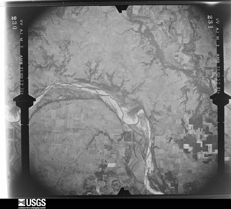
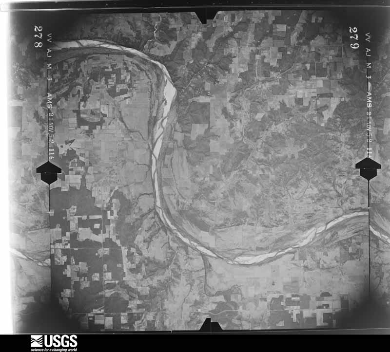
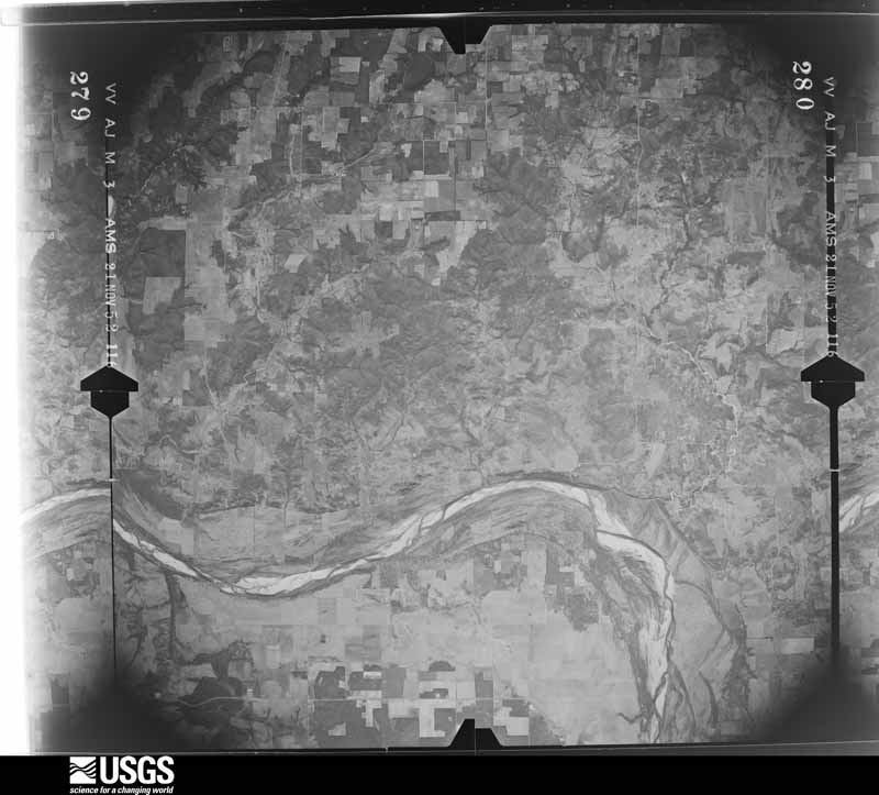
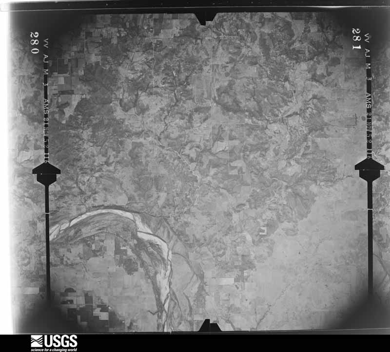
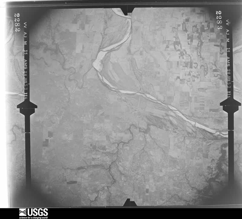
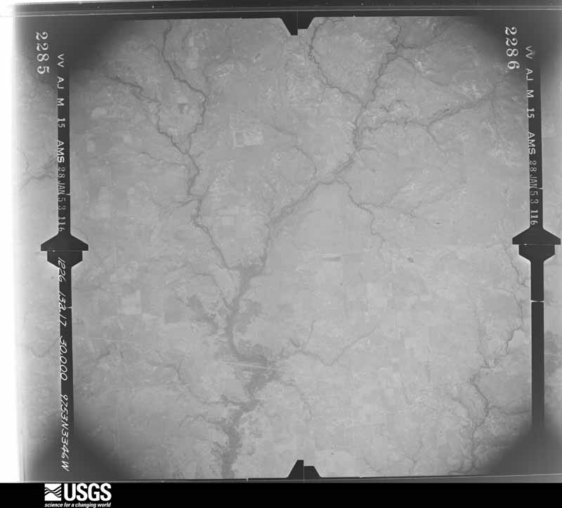
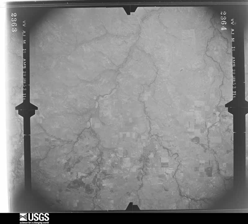
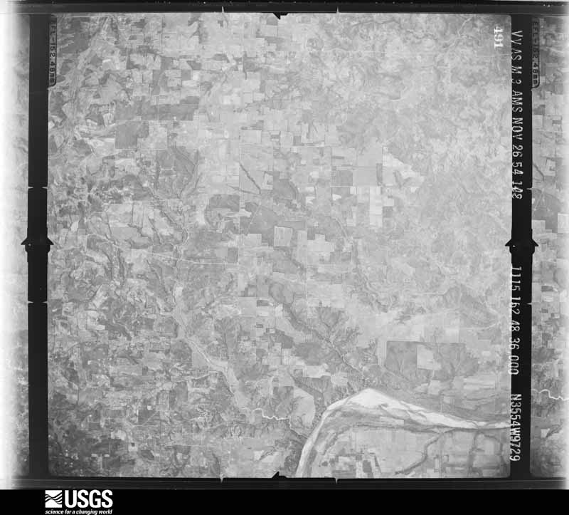
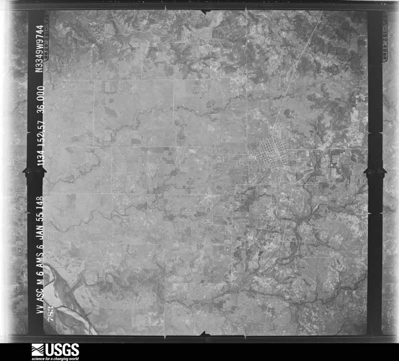
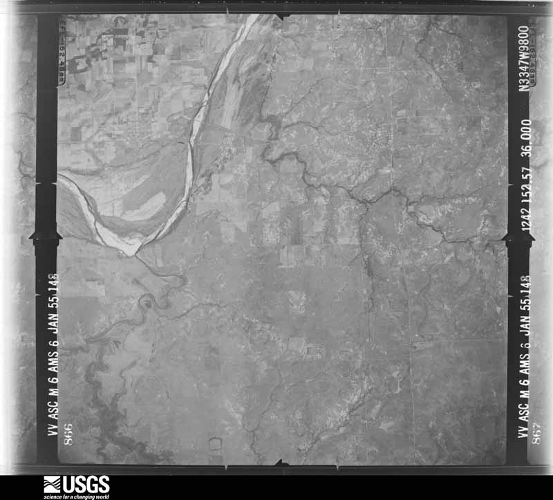
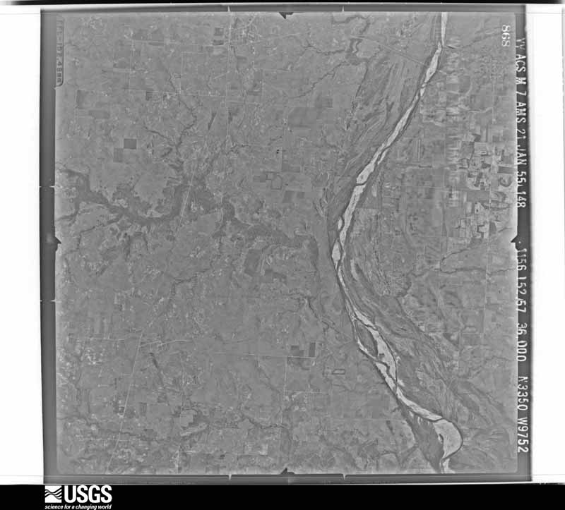
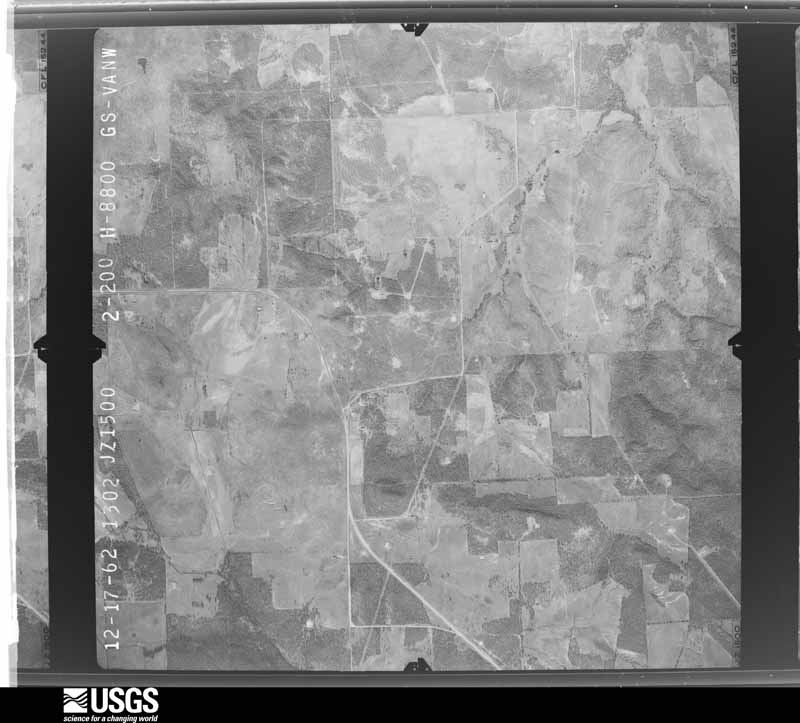
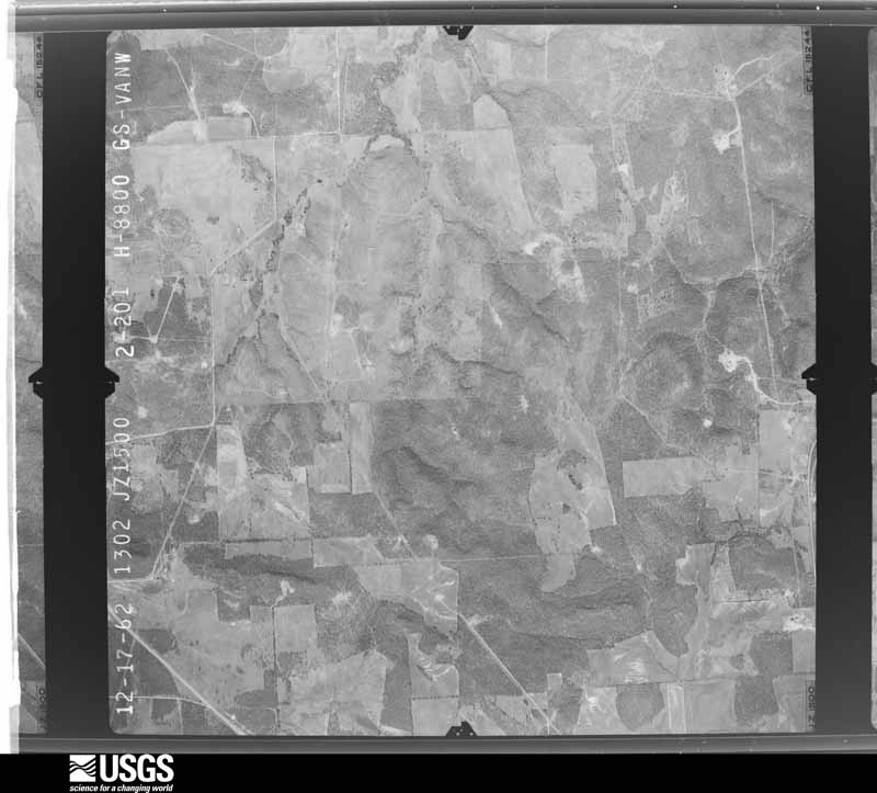
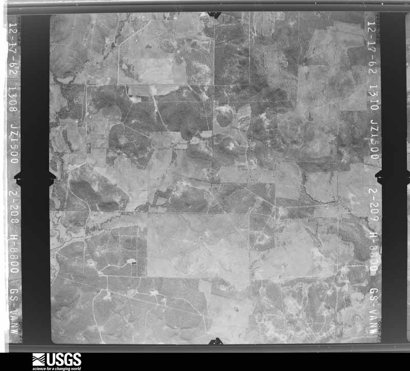
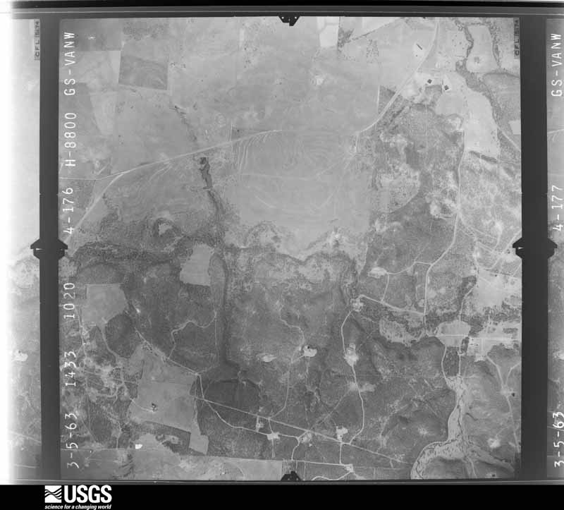
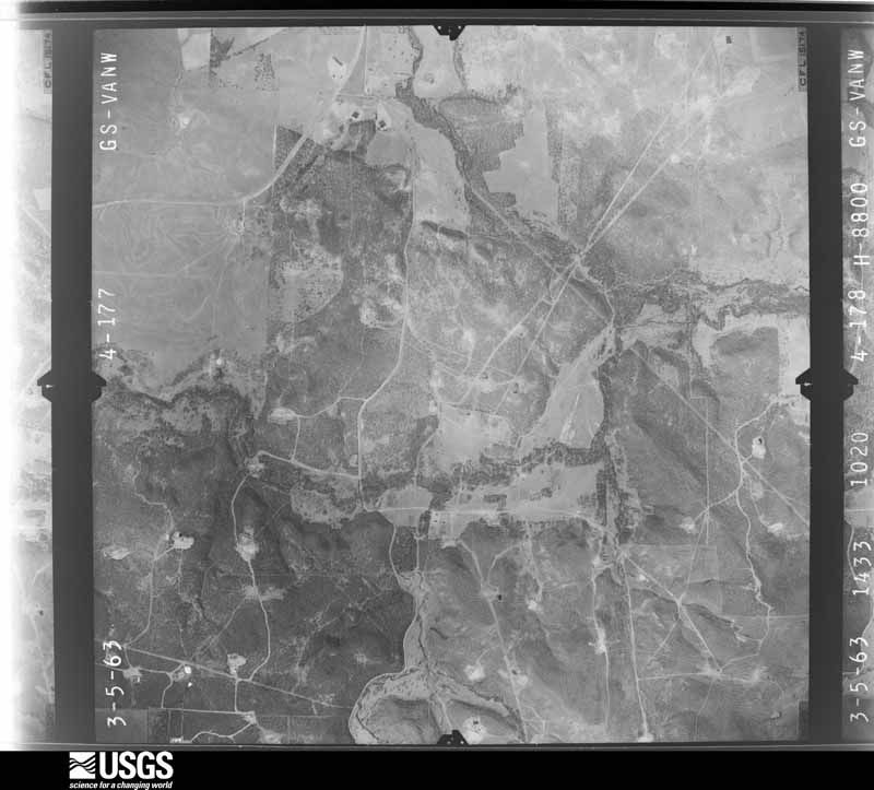
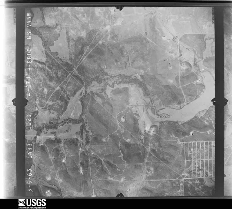
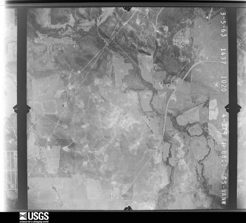
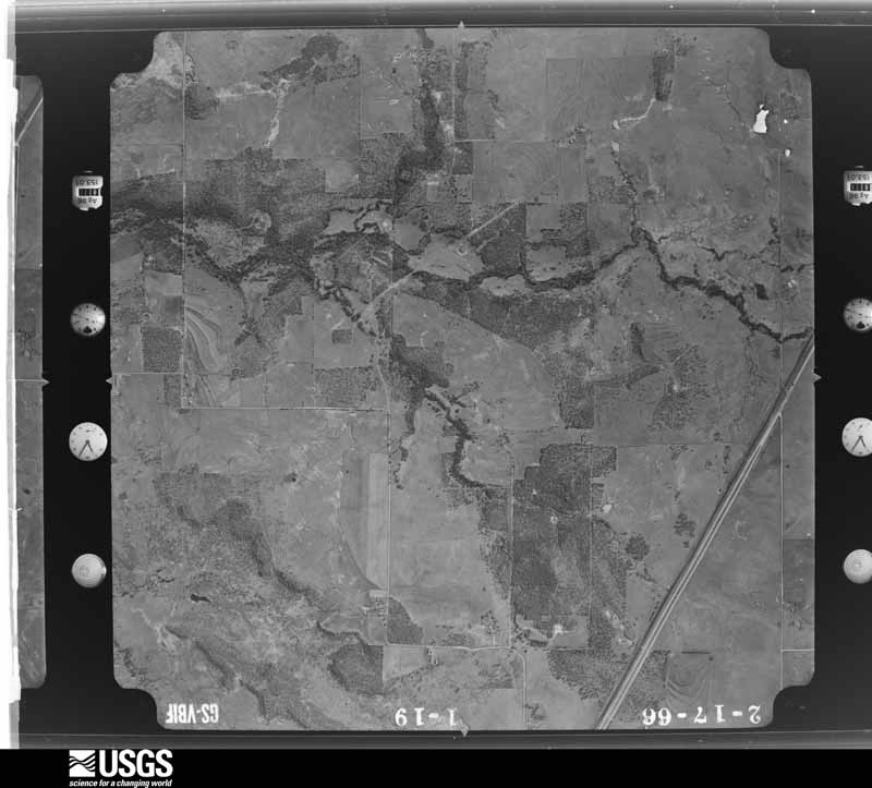
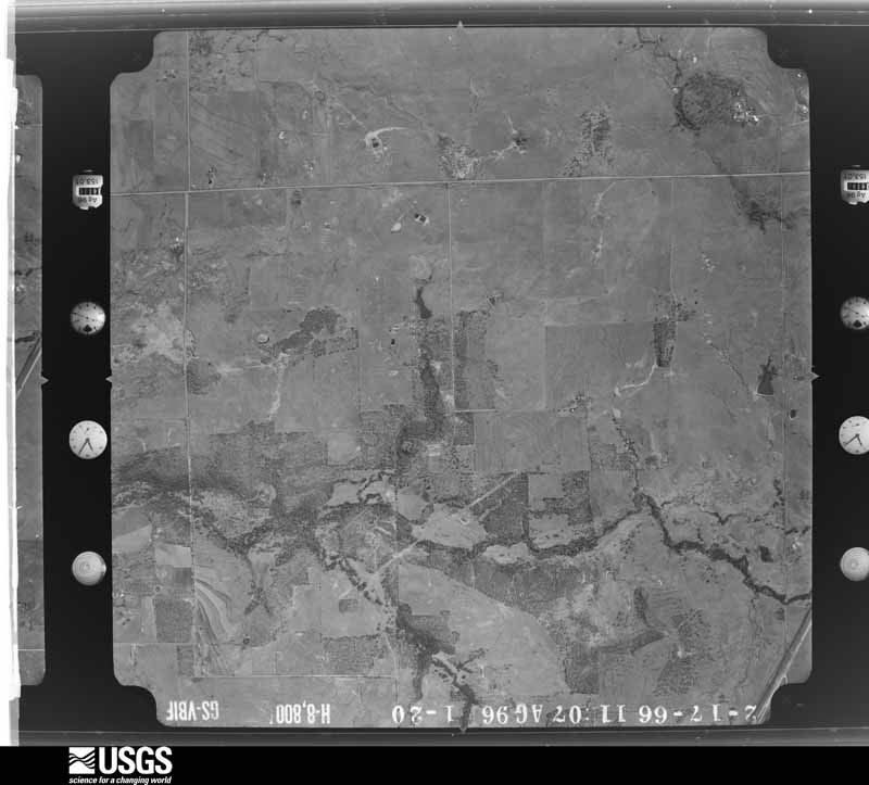
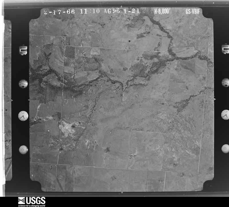
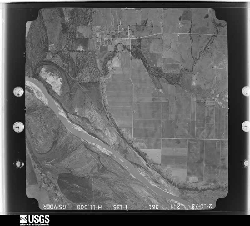
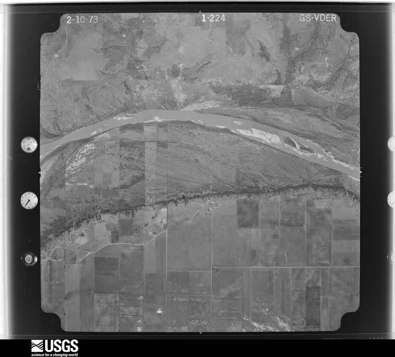
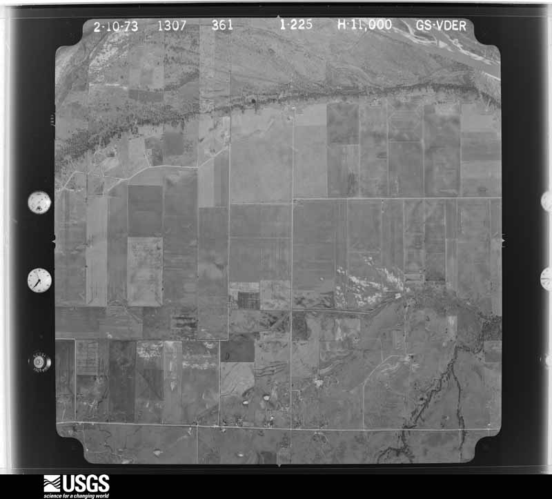
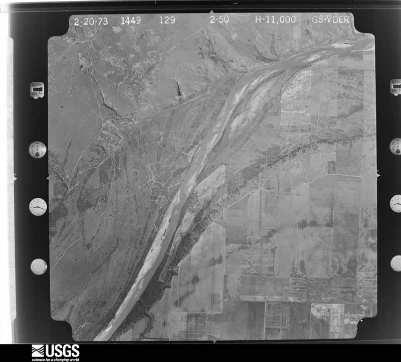
Flown by the U.S. Geological Survey between 1937 and 1989, the Aerial Photo Single Frames collection is the definitive mid-century view of the land: fields, roads and rivers as the camera saw them. The Survey holds 639 frames inside the rectangle that bounds this county; the 33 frames below were taken over the county itself, chosen across the decades of flights (at most four a year from that rectangle), so one flight cannot crowd out the rest. The full set is free to browse and download at EarthExplorer under the dataset Aerial Photo Single Frames.

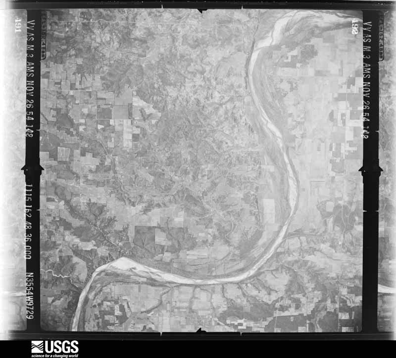
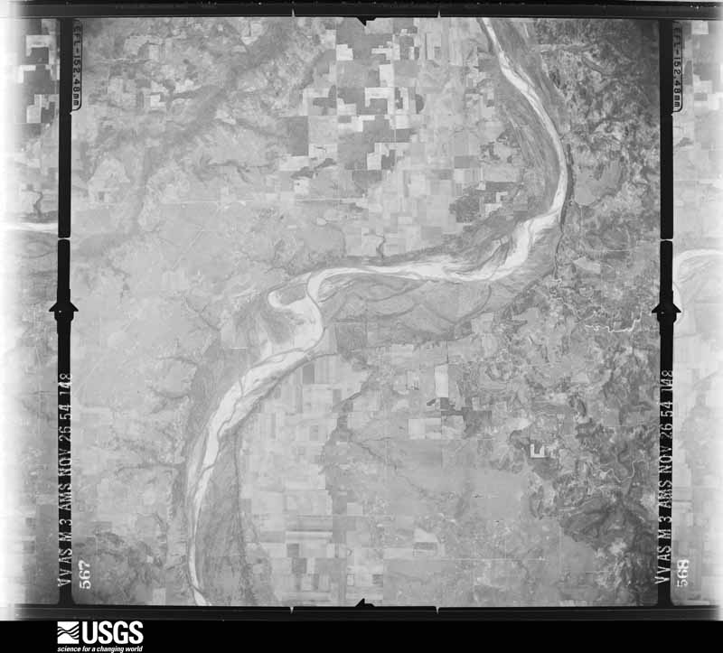
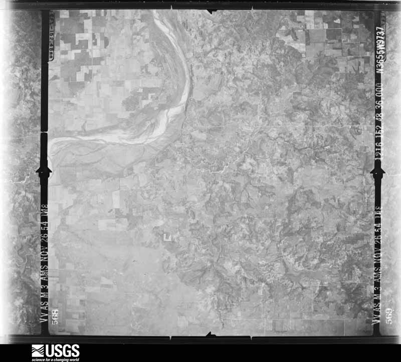
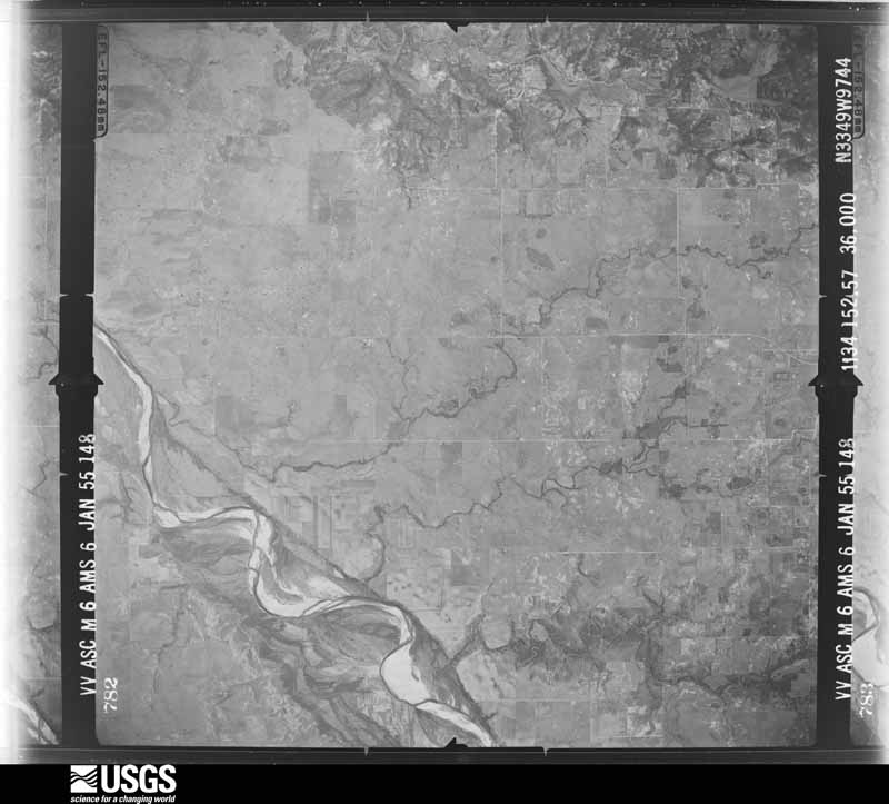



The thermometers that kept this county's weather, and the gages that measured the flow of its streams, as the federal records hold them. The extremes below are measured values from those records, not estimates.
Who lived here in 1950, one enumeration district at a time, as the Census Bureau described each district. Each row opens its official National Archives result, with Population Schedules and ED Maps available there.
Every wildfire the federal occurrence database records inside this county: 1,441 of them, burning about 100,439 acres. 54 started naturally and 29 were recorded as arson. Each settlement page carries the fires within five miles of it.
| Reported cause | Fires |
|---|---|
| Missing data/not specified/undetermined | 470 |
| Debris and open burning | 424 |
| Equipment and vehicle use | 326 |
| Power generation/transmission/distribution | 62 |
| Natural | 54 |
| Smoking | 34 |
| Arson/incendiarism | 29 |
| Recreation and ceremony | 15 |
| Misuse of fire by a minor | 14 |
| Railroad operations and maintenance | 12 |
| Fireworks | 1 |
The five largest, by the area the report gives. One of them was set deliberately.
| Date | Cause | Size | Reported by | Name on the report |
|---|---|---|---|---|
| 1 January 2006 | Missing data/not specified/undetermined | 41,000 acres | Texas A & M Forest Service | RINGGOLD |
| 9 April 2009 | Missing data/not specified/undetermined | 31,419 acres | Texas A & M Forest Service | MONTAGUE COUNTY COMPLEX |
| 13 September 2011 | Arson/incendiarism | 4,900 acres | Texas A & M Forest Service | HAT ON ROAD FIRE |
| 27 November 2005 | Missing data/not specified/undetermined | 2,000 acres | Texas A & M Forest Service | NORTH TX - 29 |
| 11 March 2005 | Debris and open burning | 1,300 acres | Texas A & M Forest Service | NORTH TX - 1 |
| 1 September 2011 | Missing data/not specified/undetermined | 1,100 acres | Texas A & M Forest Service | PICKET RUN FIRE |
| 27 November 2005 | Missing data/not specified/undetermined | 800 acres | Texas A & M Forest Service | not named |
| 9 April 2009 | Missing data/not specified/undetermined | 704 acres | Texas A & M Forest Service | WOODLANDS |
Every settlement page carries the fires within five miles of it - see the settlement index below.
The NOAA Storm Events Database holds 620 reports for this county, causing 1 death, 25 injuries and about $15,474,700 in recorded property damage. Each settlement page carries the reports that name it.
| Kind of event | Reports |
|---|---|
| Hail | 379 |
| Thunderstorm Wind | 135 |
| Tornado | 56 |
| Flash Flood | 34 |
| Flood | 9 |
| Lightning | 7 |
The most serious of them, by death, then injury, then recorded damage. The accounts are quoted exactly as the forecast office filed them.
| When | Event | Place named | Harm | What the report says |
|---|---|---|---|---|
| May 1995 | Tornado (F3) | Sunset- | 1 killed, 11 hurt, $2,000,000 | Tornado number two was a large tornado with a path one-half mile wide and 19 miles long. The storm ripped through Montague County, killing a 97 year-old man near Forestburg and injuring 11 other people. At least 30 houses and two mobile homes were destroyed, numerous barns and other outbuildings were destroyed, telephone and power lines were downed across the eastern half of the county, and an undetermined number of cattle and dairy cows were killed or injured. (M97O) |
| March 2022 | Tornado (EF1) | Fruitland | 3 hurt | The tornado began on the south side of Bowie along State Highway 101 where damage was found to multiple single family residences including one home that shifted off the foundation causing the walls and roof to collapse caused by wind speeds estimated between 105 to 110 mph. There were 3 injuries reported with damage in this area. As the tornado moved north-northeast along the eastern side of Bowie, many structures spanning from FM 3043 to just south of State Highway 59 and Haney Rd were damaged including several single family and manufactured homes where the roofs and walls were lifted and destroyed in places. Just before the tornado lifted, a manufactured home was destroyed with damage spanning 1/4 mile by this point in the path. Maximum estimated winds were 110 mph. |
| April 1980 | Tornado (F1) | not stated | 2 hurt, $250,000 | no account filed |
| April 1976 | Tornado (F3) | not stated | 2 hurt, $250,000 | no account filed |
| May 2013 | Tornado (EF1) | Nocona | 1 hurt, $100,000 | National Weather Service storm survey crews determined a tornado occurred in the Nocona Lake Estates on the west side of Lake Nocona. The tornado first occurred in open fields, before moving northeast toward the lake. The tornado caused damage to several homes and several open lots, before curving sharply to the northwest, producing EF-1 damage to several manufactured homes. |
| May 1994 | Thunderstorm Wind | Bowie | 1 hurt, $50,000 | A mobile home was blown over by thunderstorm winds near Bowie, trapping a woman. She was treated for minor injuries. Mills County Democrat,25,2100CST,,,0,0,0,0,Hail (1.00) |
| April 1958 | Tornado (F3) | not stated | 1 hurt, $25,000 | no account filed |
| April 1957 | Tornado (F2) | not stated | 1 hurt, $25,000 | no account filed |
| March 1955 | Tornado (F1) | not stated | 1 hurt, $25,000 | no account filed |
| April 1958 | Tornado (F1) | not stated | 1 hurt, $2,500 | no account filed |
| February 1984 | Thunderstorm Wind | not stated | 1 hurt | no account filed |
| May 2020 | Flash Flood | Fruitland | $5,000,000 | Flash flooding occurred across much of the southern half of Montague County after training strong storms produced up to 7 inches of rainfall. In Bowie, many streets were flooded and some buildings were flooded, too. Highway 59 near the Montague/Clay county line also had water over the roadway. The flooding did not subside until the next morning. |
| April 2009 | Flood | St Jo | $2,000,000 | Widepsread flooding continued through the night across the county with several roads and bridges under water and several areas inaccessible. Estimated rainfall totals across the northern portions of the county were as high as 12 inches of rainfall. |
| May 2020 | Thunderstorm Wind | Bowie | $1,000,000 | Damaging straight line winds affected most of the western, northern and central portions of the City of Bowie. Straight-line wind damage was also observed northeast of Bowie along Highway 59, extending almost to the City of Montague. Within Bowie proper, large tree trunks were snapped, and many trees were uprooted. Much of this tree debris fell onto residences, resulting in roof and structural damage to these homes. Additional light structural damage, including roof, fascia and signage damage, was observed to many commercial buildings within Bowie. All of this straight-line wind damage was consistent with wind speeds ranging from 65 to 80 mph, with isolated heavier damage consistent with 80 to 90 mph winds. Within the large field of wind damage, there were some subtle indications that a brief tornado also occurred in Bowie. |
| April 2025 | Tornado (EF0) | Fruitland | $500,000 | An EF-0 tornado formed along the eastern shore of Lake Amon G Carter in far southwestern Montague County. Numerous trees were damaged within the neighborhood surrounding the Bowie Country Club near the lakeshore. A few homes also sustained minor roof damage, and fencing and outbuildings were also damaged. The tornado moved northeast, impacting some horse barns and other outbuildings near FM 1125. After crossing FM 1125, the tornado moved northeast, producing spotty wind damage. A media storm chasing team observed the tornado crossing US 287 near the Wagon Seller Rd Exit. The tornado dissipated just east of this interchange. Maximum estimated winds were 80 mph. |
| May 2020 | Tornado (EF1) | Bowie | $500,000 | Within a larger swath of damaging thunderstorms winds in Bowie, subtle evidence of a tornado was discovered. Beginning near the Best Western Hotel near Highway 59 and US 287, the orientation of damage suggested weak convergence. The intensity of the damage also suggested higher wind speeds on the order of 90 to 95 mph. Similar indicators were noted from this area northeast along a mile-long path into the central business district of Bowie, where substantial roof damage and wall damage occurred to single story and multi-story buildings. This damage was suggestive of estimated tornado wind speeds topping out around 95 mph. |
| April 2016 | Hail | Bowie | $500,000 | Emergency management reported 3 inch diameter hail in Bowie, TX near the Highway 287 exit. |
| April 1994 | Tornado (F1) | St. Jo | $500,000 | A tornado touched down approximately two miles southwest of St. Jo then moved northeast for 10 to 15 minutes before lifting. Power lines were knocked down and 20 head of cattle were killed. |
| April 2009 | Lightning | St Jo | $200,000 | Lightning struck an oil tank farm south of Saint Jo. Three tanks exploded from the lightning strike and the resulting fire. |
| May 2013 | Tornado (EF1) | Fruitland | $125,000 | A storm survey crew determined EF-1 damage occurred near Lake Amon Carter. Several houses were damaged, and a golf course clubhouse was heavily damaged. |
| April 2025 | Flash Flood | Nocona | $100,000 | Amateur radio passed along reports of water coming into homes, water over roadways, and stranded cars in Nocona. The Montague County Sheriff's Office also reported that US Highway 82 was closed in both directions in Nocona. |
| April 2025 | Flood | Ringgold | $100,000 | Emergency management reported multiple county roads and bridges washed out across the county. Flooding was still ongoing, and Highway 81 near Nocona remained closed due to flooding as well. |
| April 2016 | Hail | Sunset | $100,000 | Emergency management reported tennis ball sized hail in Sunset, TX. |
| March 2007 | Flash Flood | Bowie | $100,000 | Several roads were under water and closed across the county. In addition, four briges were washed out, and sinkholes developed on North Johnson Loop, Poss Dyer Road, Lake Valley Road, and Denver Road. The sinkhole on Denver Road was six feet deep and twenty-five feet wide. |
| June 2015 | Flash Flood | Ringgold | $80,000 | Numerous roads across the county were impassable due to flooding after Tropical Depression Bill brought up to 12.5 inches of rain to the county. A few specific roads that were reported as closed include FM 1956 between Nocona and Capps Corner, FM 103 between Nocona and Hynds City, and FM 3206 in the St Jo area. Some high water rescues were needed for stranded vehicles. |
| September 2001 | Thunderstorm Wind | Bowie | $80,000 | Widespread trees and power lines blown down, roof damage to homes, and an 18 wheeler blown over in town. One house was destroyed, three with major damage, and sixty-eight with light to moderate damage. Two businesses were destroyed, fifteen with major damage, and thirty-five with light to moderate damage. There was also damage to six vehicles. |
| April 2009 | Lightning | Ringgold | $75,000 | A home on US 82 outside of Ringgold was heavily damaged by a fire that was started by a lightning strike. A fireman suffered a broken leg and wrist while fighting the house fire. |
| March 2007 | Flash Flood | Bowie | $60,000 | Significant flooding occurred in Bowie as heavy rain fell and storm drains backed up. Several houses had water inside, and a pick-up truck had to be parked on top of a manhole cover to keep it closed. One to two feet of water was reported over Highway 82 west of Nocona and Interstate 75 south of Nocona. |
| August 2023 | Hail | Bowie | $50,000 | Emergency management reported golf ball sized hail on Highway 81 approximately 2 miles north of Bowie, TX. |
| May 2020 | Hail | Bowie | $50,000 | Hen egg sized hail was reported in the city of Bowie on Pelham and Lee streets. |
| June 2016 | Flash Flood | Bowie | $50,000 | Hood County Emergency Management reported major flooding in the city of Bowie, TX with high water rescues on streets and highways and people trapped in homes. |
| March 2009 | Hail | St Jo | $50,000 | Multiple reports indicate that golfball size hail fell for approximately 20 minutes in the city of Saint Jo. The large hail caused extensive damage to 4 fire department vehicles and broke windows and other windshields. |
| May 1994 | Thunderstorm Wind | Stoneburg | $50,000 | Numerous trees were blown down by thunderstorm winds. |
| May 1993 | Hail | Saint Jo | $50,000 | There was extensive hail damage to fruit trees. |
| May 1993 | Thunderstorm Wind | not stated | $50,000 | Thunderstorm wind damage to a mobile home in rural area in north part of county. |
| May 2013 | Tornado (EF0) | Illinois Bend | $40,000 | Broadcast media chasers captured video of a tornado approximately 11 miles northwest of St. Jo. This tornado produced EF0 damage to trees and one home. |
| July 2012 | Thunderstorm Wind | Belcherville | $40,000 | Emergency Management reported several telephone poles were knocked down by thunderstorm winds. The poles were along US Highway 82 between Nocona and Belcherville. |
| April 2025 | Thunderstorm Wind | Smyrna | $30,000 | The roof of a well-built horse barn sustained damage from strong thunderstorm winds. |
| May 2013 | Tornado (EF0) | Belcherville | $30,000 | NWS survey crews determined a tornado caused EF-0 damage to a ranch near Belcherville, Texas. |
| June 2004 | Lightning | Bowie | $30,000 | Lightning strikes blew two big breakers and damaged two houses. |
| August 1997 | Lightning | Bowie | $30,000 | Lightning reportedly struck an oil tank and started a fire that engulfed two such tanks. |
| March 2023 | Hail | Fruitland | $30,000 | no account filed |
| May 2015 | Flash Flood | Bowie | $25,000 | Emergency Management reported that the Bowie EMS was responding to a family which was evacuating their home due to flooding. The home was on Applegate Rd just off Hwy 81. |
| April 2006 | Flash Flood | Nocona | $25,000 | FM 1956 between Nocona and Nocona Hills and numerous other county roads were closed due to flooding. Some low lying homes were flooded. |
| March 2004 | Thunderstorm Wind | Bowie | $25,000 | A silo was moved off it's foundation, a greenhouse was destroyed, several buildings were unroofed, and trees were damaged. |
| October 1979 | Tornado (F1) | not stated | $25,000 | no account filed |
| August 1964 | Tornado (F2) | not stated | $25,000 | no account filed |
| September 1963 | Tornado (F2) | not stated | $25,000 | no account filed |
| November 1959 | Tornado (F2) | not stated | $25,000 | no account filed |
| April 2025 | Tornado (EF0) | Bowie Muni | $20,000 | An area of strong straight-line winds developed across central Montague County along the leading edge of a line of very strong thunderstorms. Within this larger area of straight line winds, a brief, narrow spin up tornado occurred and produced significant tree damage along Upper Montague Road. One residence suffered damage when a large tree branch fell and punctured its roof. Minor damage to the roof of an outbuilding also occurred. The tornado crossed Upper Montague Road east of the affected residences and dissipated in open pastureland shortly thereafter. |
| May 2015 | Flash Flood | Bowie | $20,000 | Emergency management reported that 2 vehicles were submerged on N Mills St at the railroad underpass in Bowie, TX. |
| June 2015 | Flash Flood | Bowie | $20,000 | Numerous roads in Bowie were covered with water and impassable. Some roads north of Bowie were also flooded. |
| June 2015 | Flood | Ringgold | $20,000 | Numerous roads across the county remained closed due to flooding from heavy rains from Tropical Depression Bill. |
| September 2011 | Thunderstorm Wind | Bowie | $20,000 | A roof was blown of a house and a trailer was blown across Highway 81 at Polk Road. Just up the road near Highway 81 and Indian Hills Road, a large tree was uprooted and several large, healthy tree branches were snapped off a tree. |
| February 2009 | Tornado (EF0) | Belcherville | $20,000 | One home on the south side of Belcherville along FM 1816 sustained roof damage. Multiple outbuildings in the same area were destroyed or suffered extensive damage. Two trees were uprooted, a shed was destroyed, and an empty water tank that was 10 feet in diameter was flipped over. The path of this tornado was estimated to be 100 yards in length. This tornado was rated an EF-0 with estimated winds of 80 mph. This same storm went on to produce a tornado in northern Montague County near Spanish Fort. |
| June 2009 | Thunderstorm Wind | Nocona | $20,000 | Wind damage was reported in Downtown Nocona and about 2 miles north of Downtown Nocona along FM 103. Numerous structures had roof damage and one building had a portion of its roof peeled back. Several homes also lost shingles. In addition, large trees nearly 1 foot in diameter were blown down. |
| October 2009 | Hail | Nocona | $20,000 | Teacup size hail was reported in Nocona. |
| March 2007 | Lightning | Bowie | $20,000 | Two transformers were knocked out by lightning. An electrical worker burned his retinas as an arc came off the wires while he was repairing them. |
| May 2025 | Hail | Capps Corners | $19,000 | Broadcast media reported 4.5 inch diameter hail 7 miles north of Saint Jo. |
| May 2012 | Thunderstorm Wind | Bowie | $17,000 | Large trees and tree limbs were blown down in Bowie. Some of the tree limbs were nearly a foot in diameter. One large tree limb fell on a garage. Minor building damage was also reported and downed power lines resulted in power outages. The winds were estimated to be between 65 and 75 mph. |
The Survey's mineral resources record lists 7 workings inside this county. 1 still produces and 6 are closed or unrecorded. Each settlement page carries the workings within five miles of it.
| Commodity | Workings |
|---|---|
| Copper | 4 |
| Sand and Gravel, Construction | 3 |
The least common of them first, because a county's hundredth gravel pit says nothing its first ten did not.
| Where | Site | Commodity | Status | Recorded |
|---|---|---|---|---|
| Nocona Rock Co Pit | Sand and Gravel, Construction | Past Producer | ||
| Sadler Sand and Gravel Co Pit-Plant | Sand and Gravel, Construction | Producer | ||
| Unknown | Sand and Gravel, Construction | Past Producer | ||
| Beaver Creek-1 | Copper | Past Producer | 1891, 1892 | |
| Belcherville-1 | Copper | Occurrence | 1891 | |
| Blevins Ranch | Copper | Occurrence | 1973 | |
| Pevler Spring-1,2,3 | Copper | Occurrence |
Named settlements recorded in the Geographic Names Information System, each with the topographic sheets covering it. Villages, hamlets and abandoned places alike. Each is shown with the nearest named watercourse or landform and the survey quadrangle it falls on.
Bowie census division · 76230 · Near Cougar Mountain · Bowie quadrangle
10 sheets, 1905 to 1991
Montague-Forestburg census division · 76239 · On Mallard Creek · Salona quadrangle
10 sheets, 1905 to 1991
Montague-Forestburg census division · 76239 · On Dye Mound · Forestburg quadrangle
10 sheets, 1905 to 1991
Montague-Forestburg census division · 76265 · Forestburg quadrangle
10 sheets, 1905 to 1991
St. Jo census division · 76265 · On Dye Creek · Forestburg quadrangle
10 sheets, 1905 to 1991
Montague-Forestburg census division · 76239 · Near McCracken Mound · Forestburg quadrangle
10 sheets, 1905 to 1991
St. Jo census division · 76265 · On West Valley Branch · Leon North quadrangle
13 sheets, 1902 to 1991
Montague-Forestburg census division · 76239 · On Steelman Branch · Salona quadrangle
10 sheets, 1905 to 1991
Montague-Forestburg census division · 76251 · On Ritchie Creek · Montague quadrangle
10 sheets, 1905 to 1991
St. Jo census division · 76255 · On Polecat Creek · Nocona quadrangle
10 sheets, 1905 to 1991
St. Jo census division · 76265 · On Buck Branch · Saint Jo quadrangle
10 sheets, 1905 to 1991
Nocona census division · 76255 · Prairie Valley School quadrangle
9 sheets, 1905 to 1991