 Block
BlockFrom the record
8 National Register listings published here.
Sources: the National Register database, National Park Service
53 topographic sheets cover 52 settlements here, and 8 properties are on the National Register of Historic Places.
8 National Register listings published here.
Sources: the National Register database, National Park Service
Every property in this county listed on the National Register of Historic Places, with the year it was listed and the federal nomination document.
| Photograph | Property | Type | Listed | Reference |
|---|---|---|---|---|
| Corsicana Commercial Historic District | district | 1995 | 95000601 | |
| Corsicana Oil Field Discovery Well | site | 1977 | 77001462 | |
| First Independent Baptist Church | building | 2026 | 100012541 | |
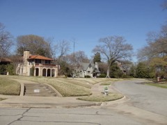 | Mills Place Historic District | district | 1995 | 95000800 |
 | Navarro County Courthouse | building | 2004 | 04000947 |
 | Temple Beth-El | building | 1987 | 86003687 |
| Wesley Chapel Colored Methodist Episcopal Church | building | 2025 | 100012499 | |
| West Side Historic District | district | 1995 | 95000912 |
Drawn when these were printed as single large sheets: the town seen from the air, and the county divided into its farms with every owner named. Each opens the original at the Library of Congress.
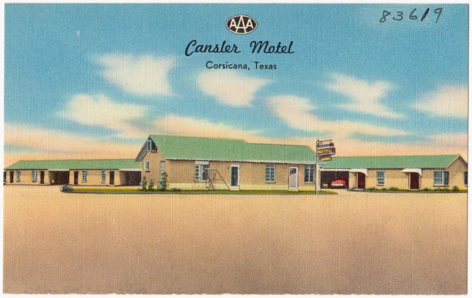
Selected from the Digital Public Library of America's 3 image records catalogued for this county. Every one shown here carries a public-domain status or a licence that permits reuse on a site that carries advertising; non-commercial, share-alike and restricted images are excluded. The selection is spread across the county's towns (at most eight per town), so no single institution's bulk upload crowds out the rest. Each opens the holding library's record, and the complete set at the Digital Public Library of America is one click away.
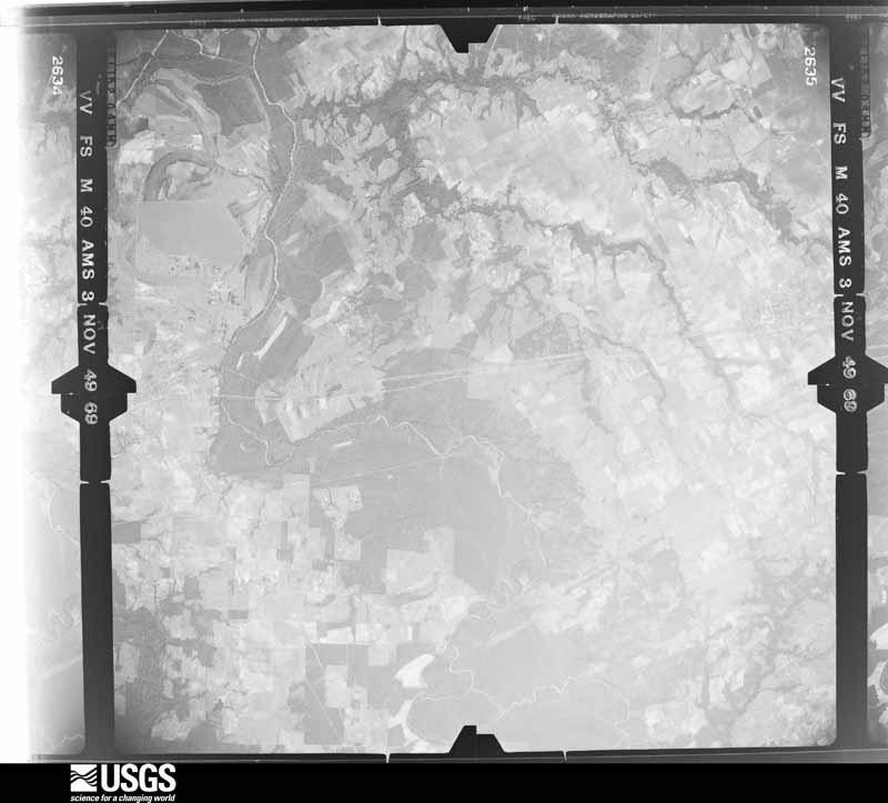
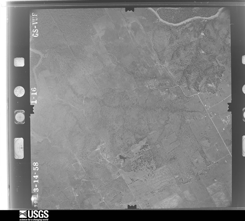
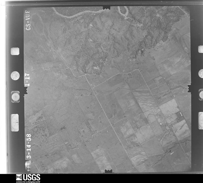
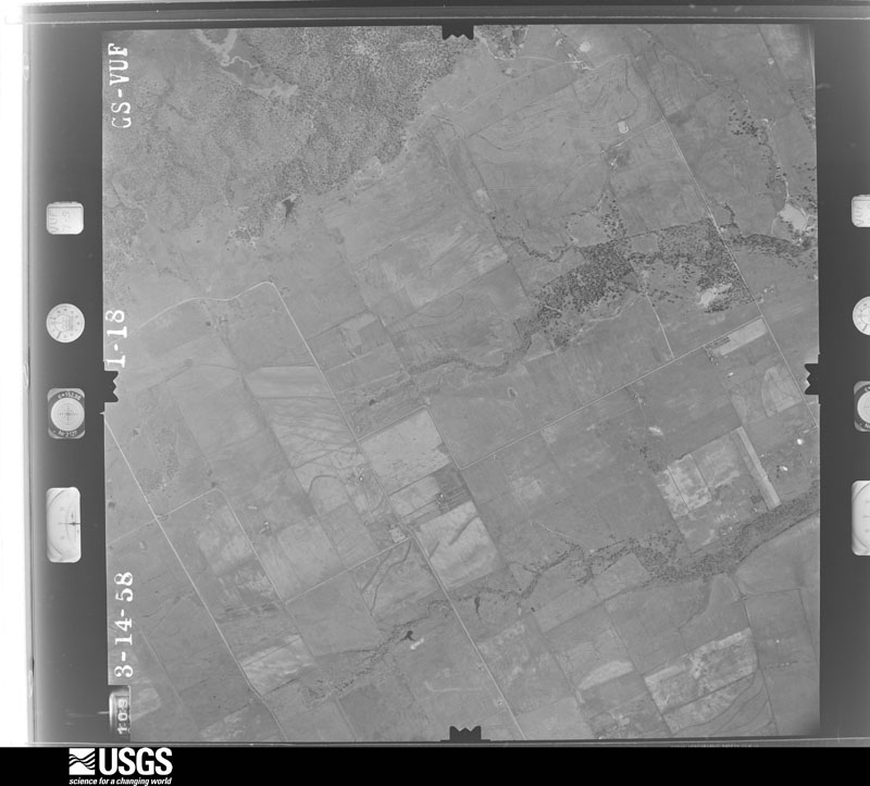
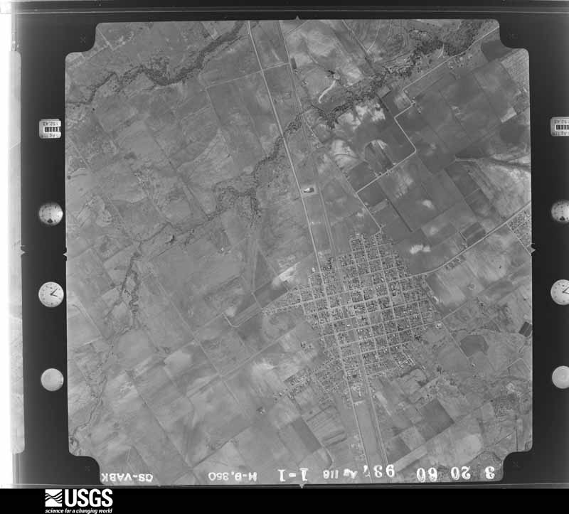
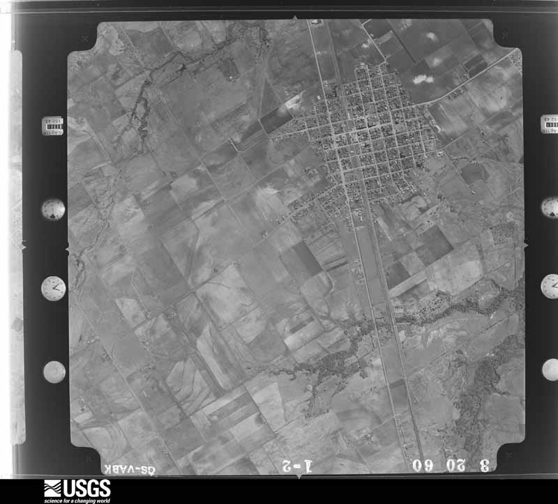
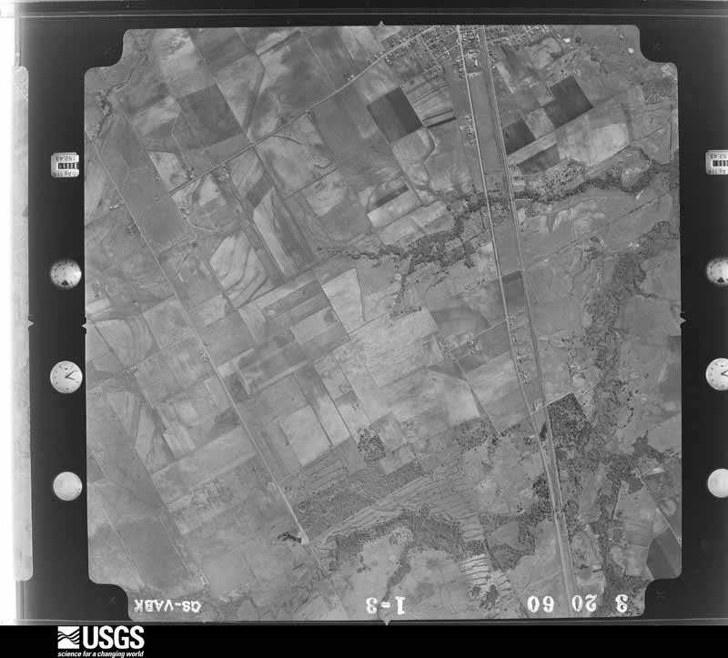
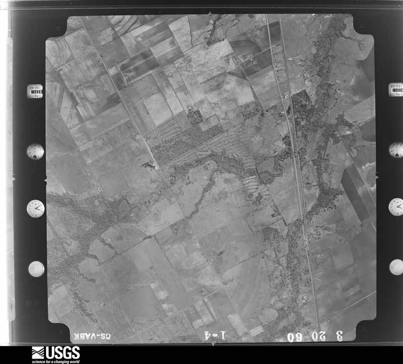
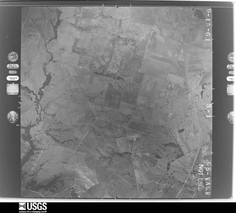
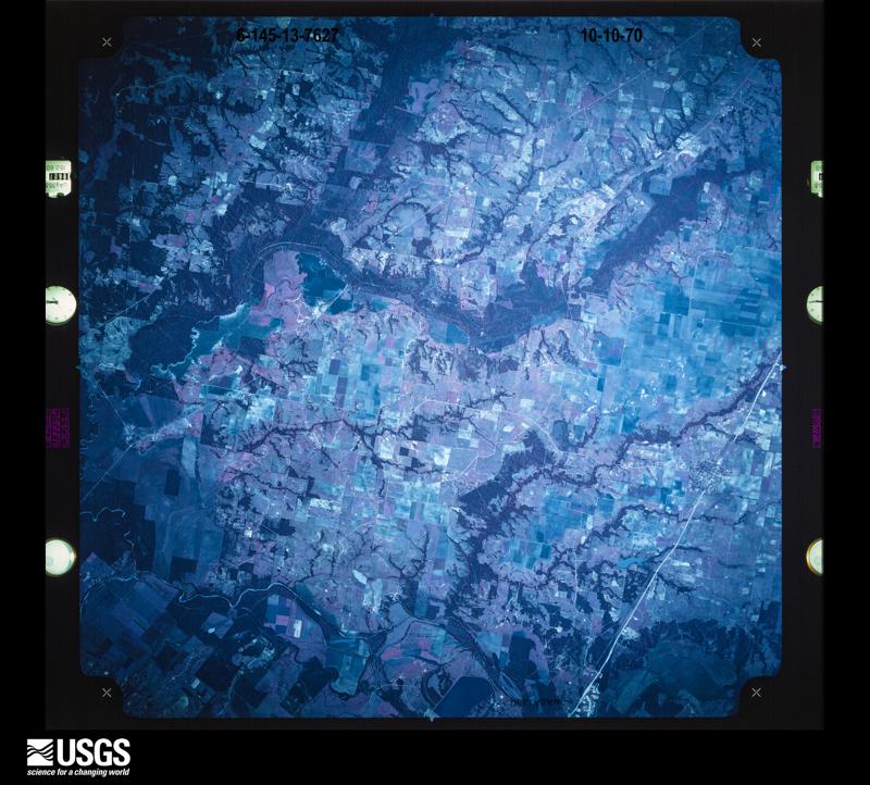
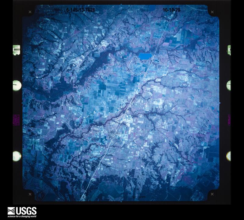
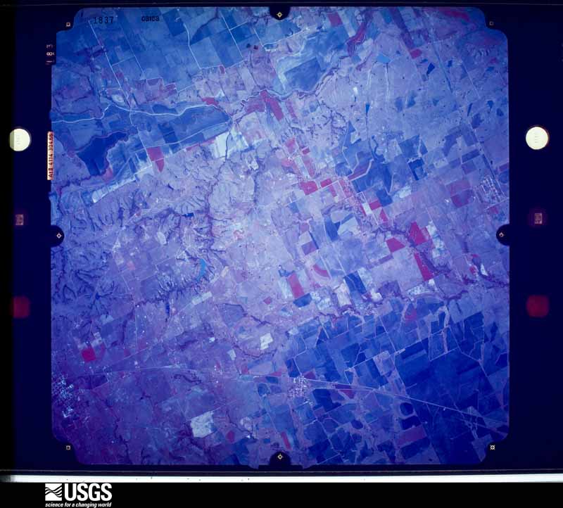
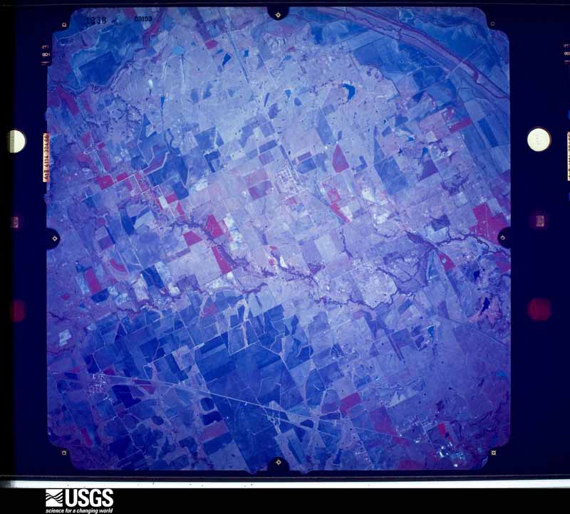
Flown by the U.S. Geological Survey between 1937 and 1989, the Aerial Photo Single Frames collection is the definitive mid-century view of the land: fields, roads and rivers as the camera saw them. The Survey holds 1,852 frames inside the rectangle that bounds this county; the 45 frames below were taken over the county itself, chosen across the decades of flights (at most four a year from that rectangle), so one flight cannot crowd out the rest. The full set is free to browse and download at EarthExplorer under the dataset Aerial Photo Single Frames.
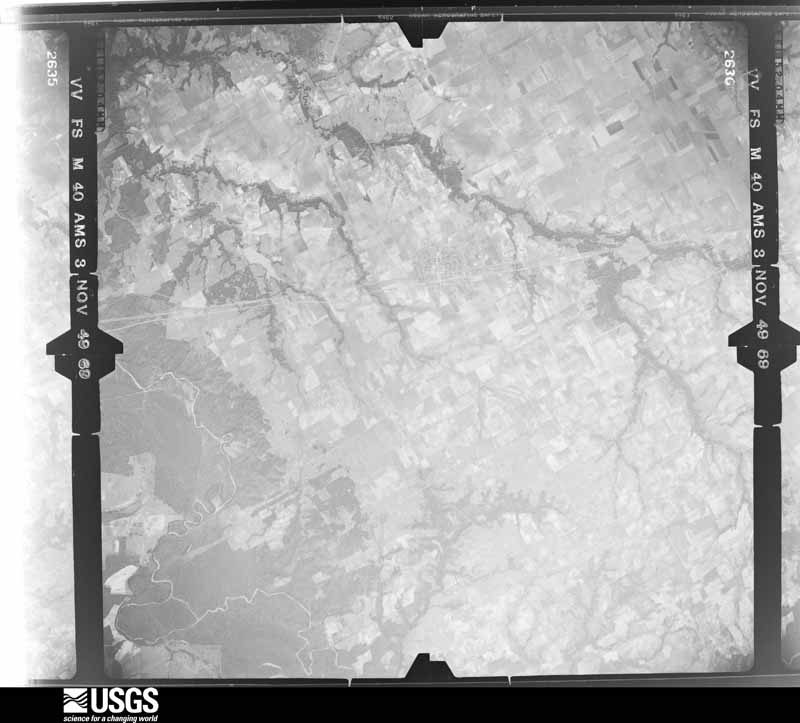
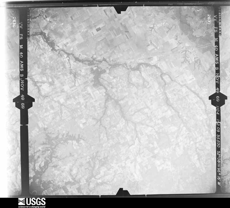
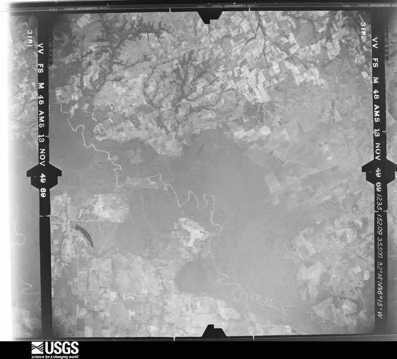
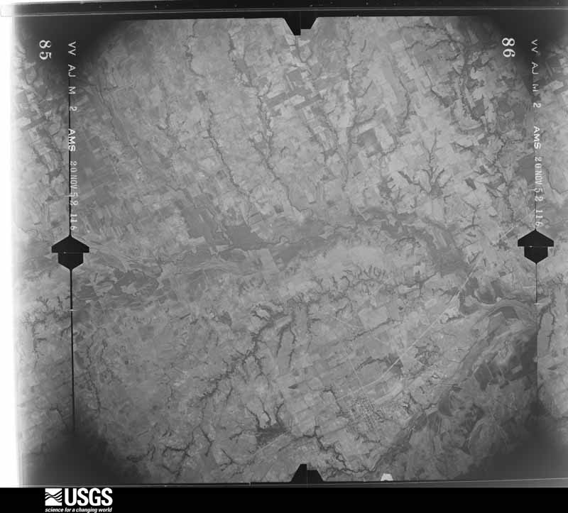
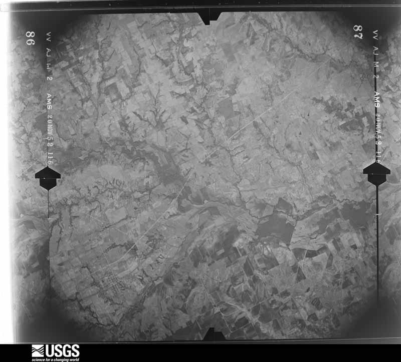
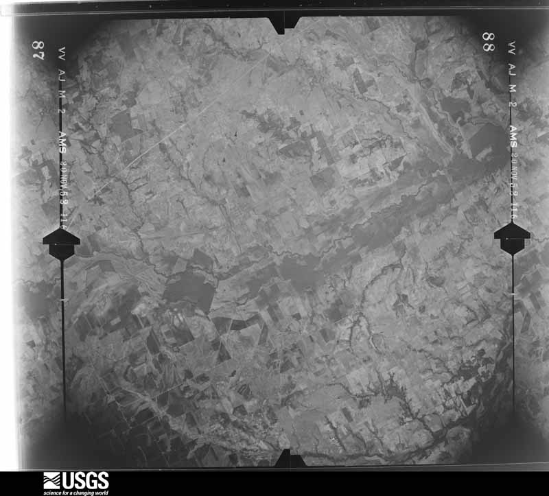
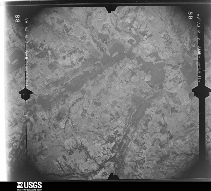
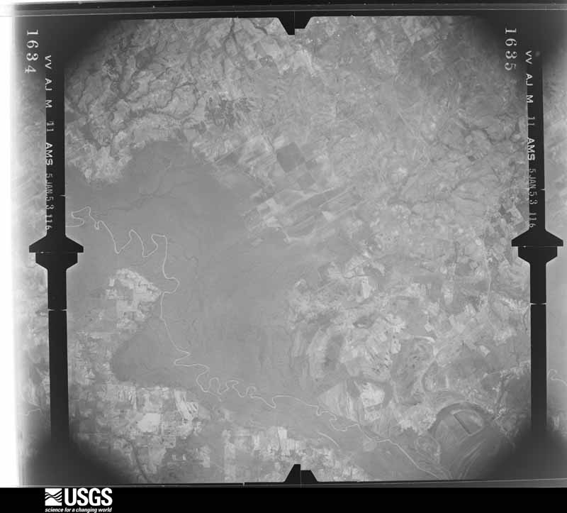
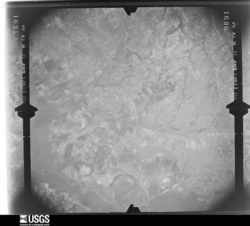
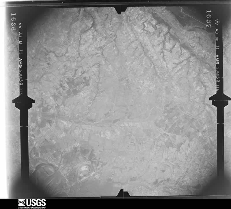
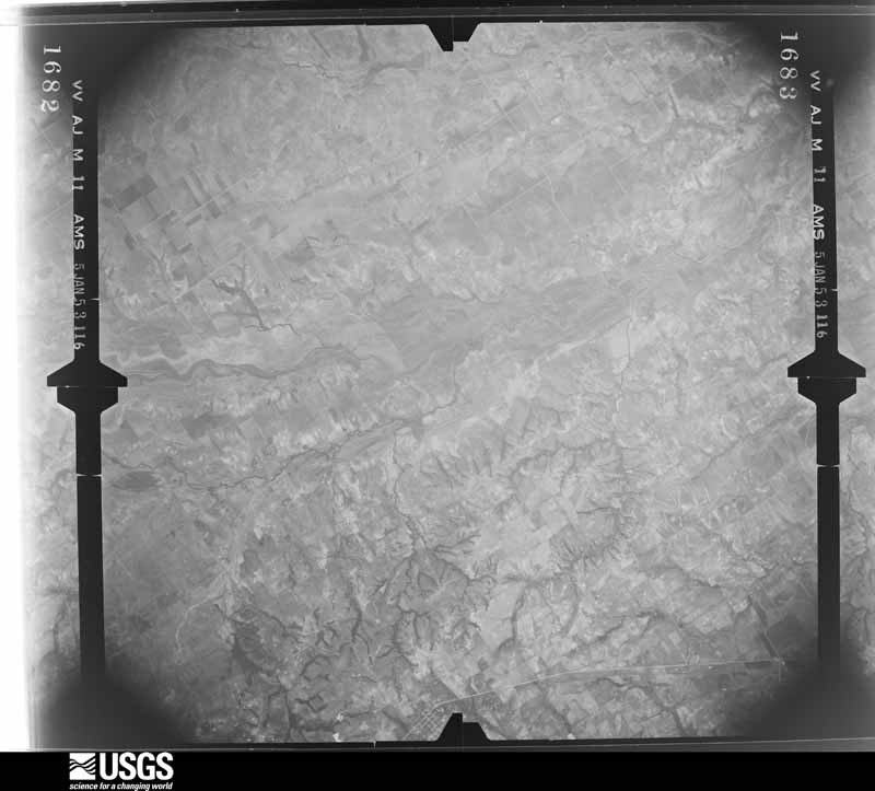
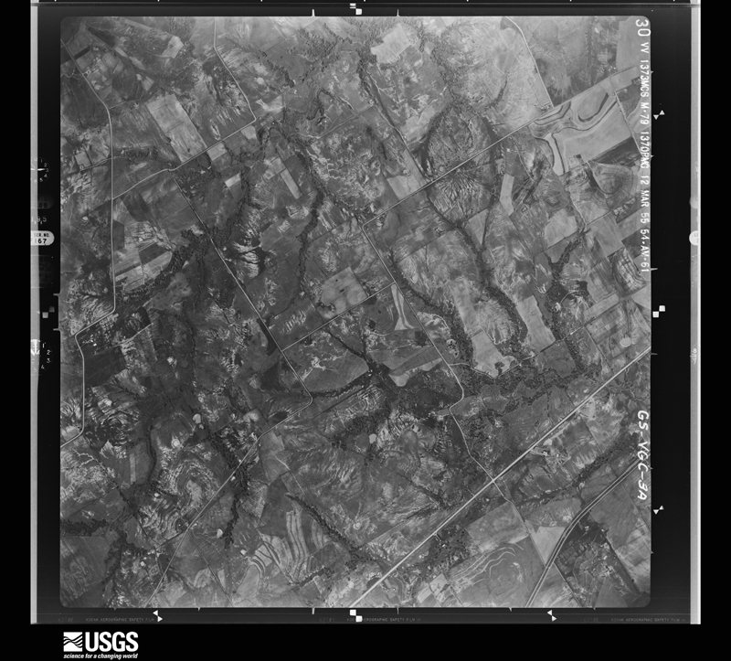
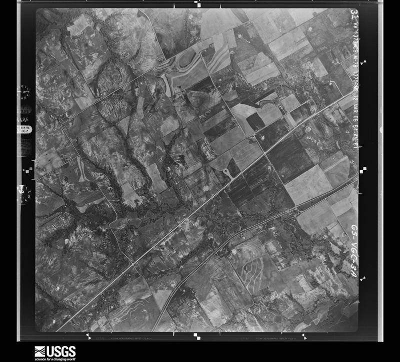
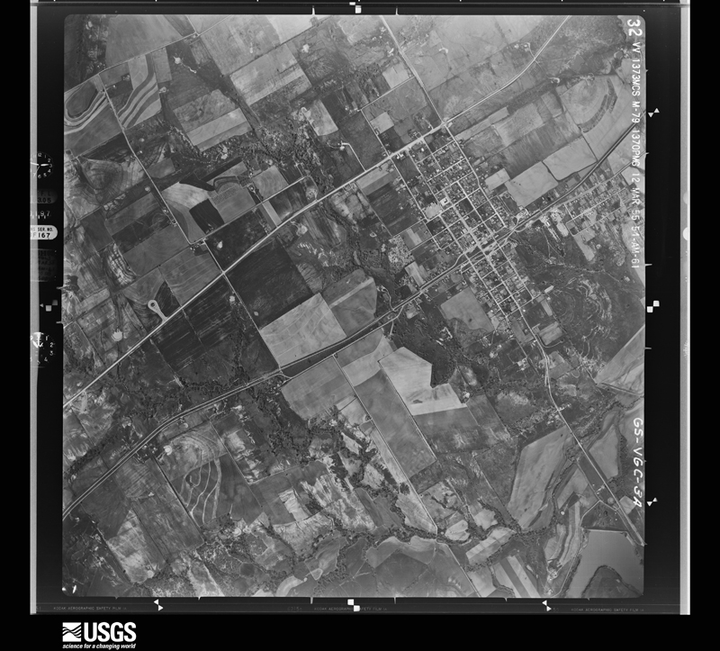
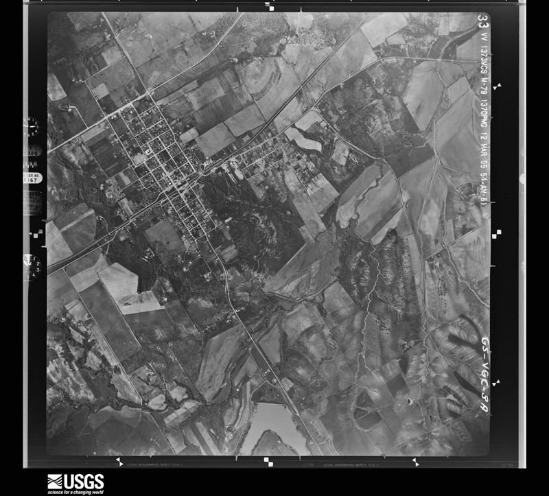
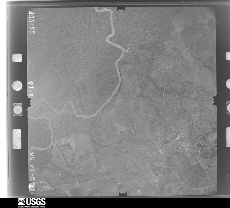
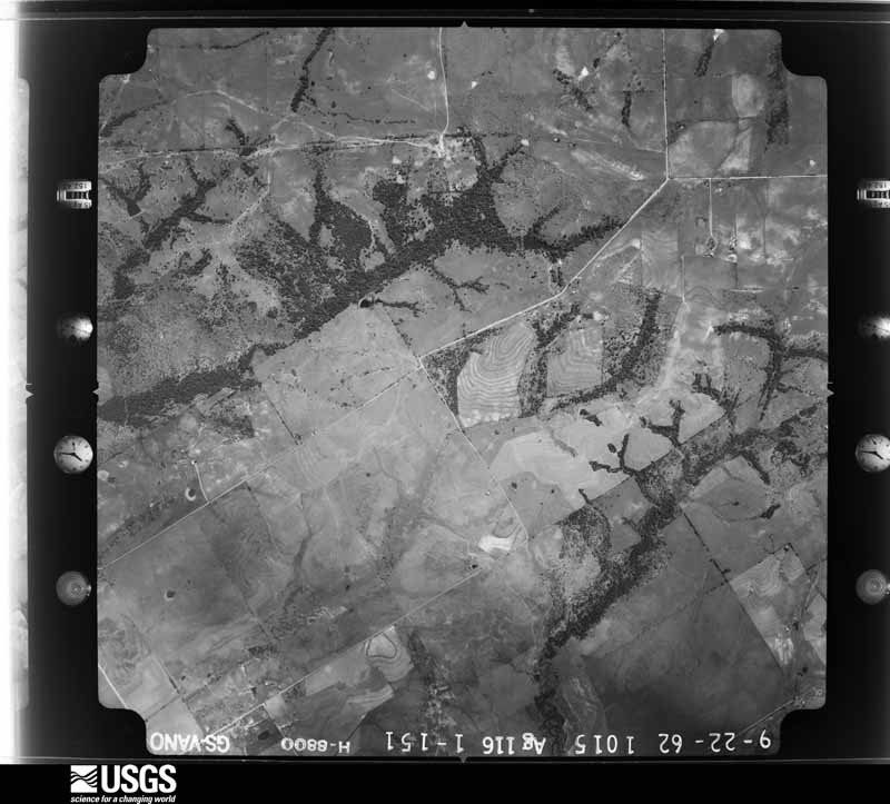
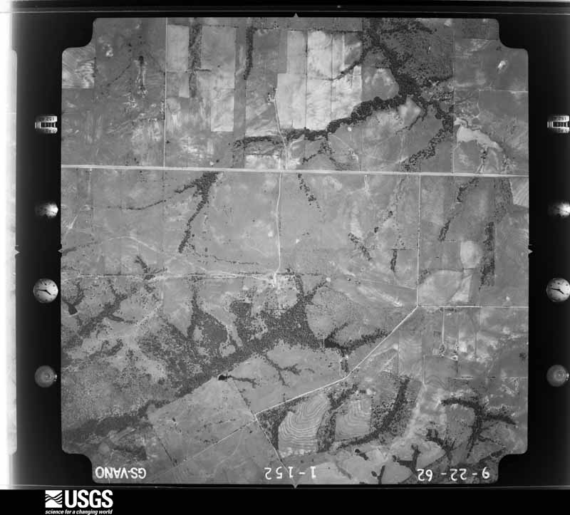
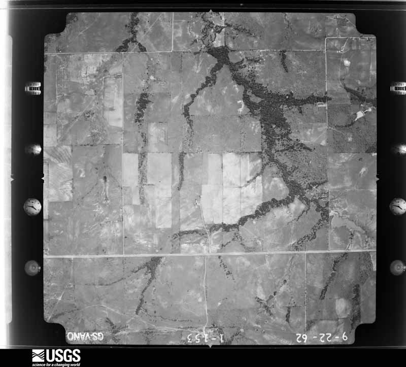
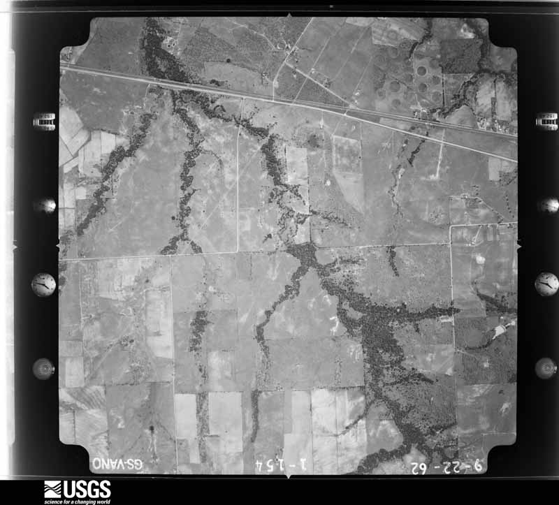
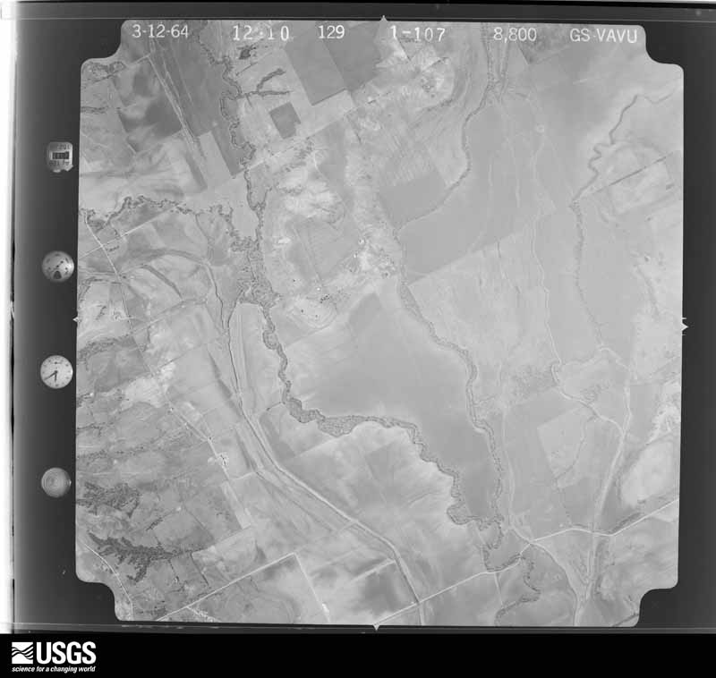
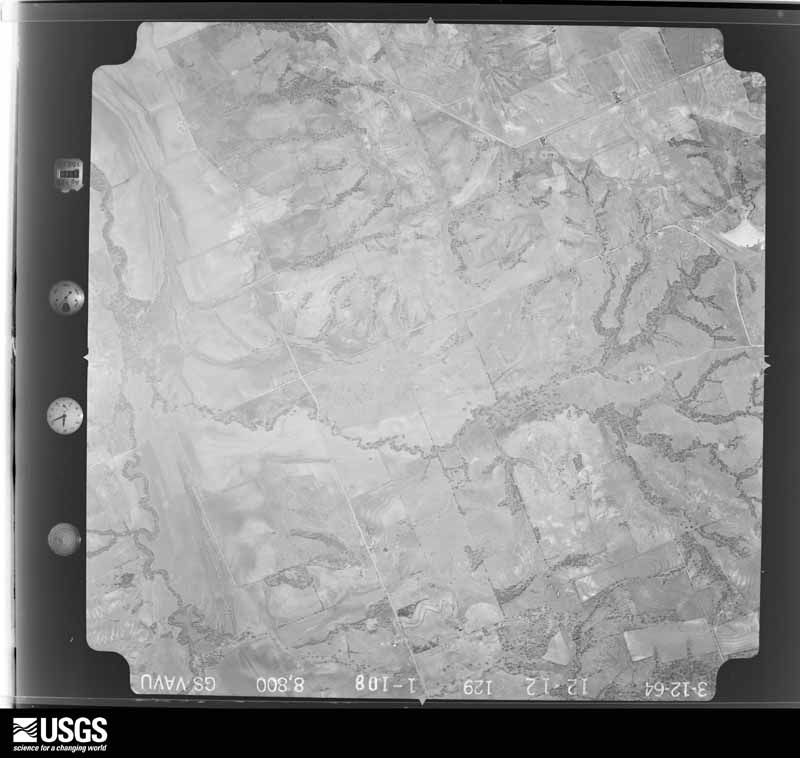
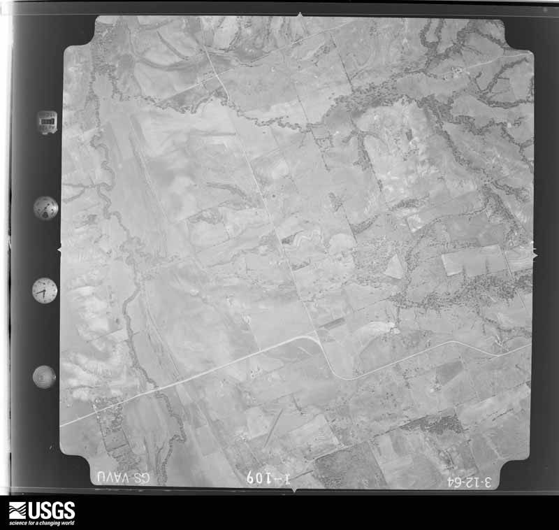
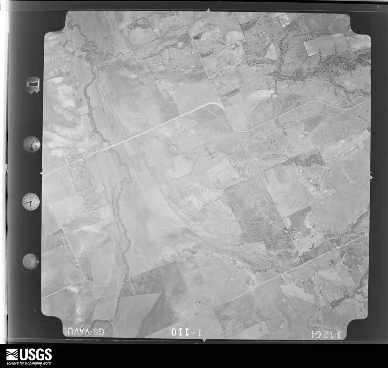








The thermometers that kept this county's weather, and the gages that measured the flow of its streams, as the federal records hold them. The extremes below are measured values from those records, not estimates.
Who lived here in 1950, one enumeration district at a time, as the Census Bureau described each district. Each row opens its official National Archives result, with Population Schedules and ED Maps available there.
Every wildfire the federal occurrence database records inside this county: 2,395 of them, burning about 24,127 acres. 30 started naturally and 103 were recorded as arson. Each settlement page carries the fires within five miles of it.
| Reported cause | Fires |
|---|---|
| Debris and open burning | 1071 |
| Missing data/not specified/undetermined | 660 |
| Equipment and vehicle use | 363 |
| Arson/incendiarism | 103 |
| Smoking | 75 |
| Power generation/transmission/distribution | 48 |
| Natural | 30 |
| Recreation and ceremony | 16 |
| Railroad operations and maintenance | 15 |
| Misuse of fire by a minor | 13 |
| Fireworks | 1 |
The five largest, by the area the report gives. None of them was recorded as arson.
| Date | Cause | Size | Reported by | Name on the report |
|---|---|---|---|---|
| 4 September 2011 | Railroad operations and maintenance | 2,350 acres | Texas A & M Forest Service | MILDRED FIRE |
| 30 October 2017 | Debris and open burning | 1,000 acres | Texas A & M Forest Service | C17-33893 |
| 4 September 2011 | Debris and open burning | 350 acres | Texas A & M Forest Service | COUTNY LINE RD |
| 5 August 2011 | Missing data/not specified/undetermined | 250 acres | Texas A & M Forest Service | DAWSON |
| 24 March 2006 | Missing data/not specified/undetermined | 250 acres | Texas A & M Forest Service | not named |
| 5 September 2011 | Missing data/not specified/undetermined | 250 acres | Texas A & M Forest Service | CORSICANA CITY RUN |
| 19 September 2009 | Missing data/not specified/undetermined | 250 acres | Texas A & M Forest Service | NW 1300 GRASS FIRE |
| 25 August 2009 | Debris and open burning | 250 acres | Texas A & M Forest Service | 912253 |
Every settlement page carries the fires within five miles of it - see the settlement index below.
The NOAA Storm Events Database holds 555 reports for this county, causing 7 deaths, 21 injuries and about $1,033,975,670 in recorded property damage. Each settlement page carries the reports that name it.
| Kind of event | Reports |
|---|---|
| Thunderstorm Wind | 216 |
| Hail | 193 |
| Flash Flood | 79 |
| Tornado | 51 |
| Flood | 14 |
| Heavy Rain | 2 |
The most serious of them, by death, then injury, then recorded damage. The accounts are quoted exactly as the forecast office filed them.
| When | Event | Place named | Harm | What the report says |
|---|---|---|---|---|
| March 1997 | Thunderstorm Wind | Kerens | 2 killed, 4 hurt, $500,000 | no account filed |
| May 2004 | Flash Flood | Corsicana | 2 killed, $10,000 | A car was swept off Bunert Road as it was trying to cross a low water crossing. The father driving escaped, but his two small children drowned. |
| October 1998 | Tornado (F2) | Silver City | 1 killed, 4 hurt, $100,000 | A 33 year old man was killed when a tornado struck his mobile home. |
| May 2015 | Flash Flood | Emhouse | 1 killed, $300,000 | Nearly ten inches of rainfall fell in the city of Corsicana during the evening and overnight hours of May 10th and 11th. During the early morning hours, there were several high water rescues, in and near Corsicana. According to news reports, Interstate 45 became a parking lot, and people were trapped in their vehicles, both in high water and in lots and roadways across town. A 23 year old male lost his life as flood waters quickly swept his car down stream near the intersection of 35th street and 3rd Avenue in Corscicana. |
| May 2004 | Flash Flood | Corsicana | 1 killed, $20,000 | Northbound Interstate 45 at mile marker 231 was closed due to high water. Other areas of Interstate 45 were also closed. Numerous roads in Corsicana were closed. The bridge spanning Post Oak creek was heavily damaged. At 130 AM at mile marker 228 on Interstate 45, a truck drove into high water on the east side service road. The passenger escaped, but the 33 year old driver drowned. |
| October 2010 | Tornado (EF2) | Emhouse | 4 hurt, $1,000,000 | A strong EF2 tornado hit the town of Rice damaging several homes, derailing train cars, damaging a school, and overturning cars on the interstate. The tornado began about 4 miles outside the town limits of Rice and first damaged two homes near NW 050 road. One of the homes was completely destroyed. About a mile and half later, the tornado struck another home causing the exterior walls to collapse and taking the roof off the home. Next, the tornado entered the town of Rice and moved over a train track derailing 11 train cars. One of the train cars ended up in the nearby baseball field of the high school. The baseball field and nearby football stadium was also damaged, and the softball field was completely destroyed. Power poles and bleachers were damaged at the football and baseball field. At the softball field, the fences, dugouts, scorekeepers stand, scoreboard, light poles, and bleachers were all destroyed. The tornado then damaged an intermediate school causing one wall to lean and peeling the roof off the gymnasium. Next, the tornado crossed Interstate 45 where it overturned a few cars and trapped some people. One 18 wheeler carrying a dump truck lost the dump truck which fell onto a car traveling in the other direction. The driver of the car sustained minor cuts. East of the interstate, the tornado damaged 4 more homes causing mainly roof damage to the homes. The roof damage east of the interstate was mostly EF1 intensity. A total of 4 persons were injured during this tornado. All were transported to area hospitals with minor, non-life threatening injuries. In addition to the structural damage, trees were snapped along the path of the tornado. The maximum sustained winds were estimated to be 135 mph. |
| April 1973 | Tornado (F3) | not stated | 3 hurt | no account filed |
| March 2023 | Tornado (EF1) | Corsicana Arpt | 2 hurt | A tornado formed on the northern outskirts of Corsicana in Navarro County, west of the intersection of County Road 0010 and County Road 0018. After producing tree damage in an open field, the tornado moved southeast and significantly damaged a single family residence near the intersection of County Road 0010 and County Road 0017 in far northern Corsicana. Sections of shingles and some wood roof sheathing were removed or damaged, and tree damage was substantial. Damage here was consistent with EF-1 winds of 95-100 mph. On an adjacent plot of land, a large trailer was rolled twice, resulting in the serious injury of two adult occupants. The track continued southeast, producing intermittent EF-0 intensity tree damage of 65-75 mph in north Corsicana. In its latter stages, the tornado veered east, crossing Business 45 and producing more significant tree damage before dissipating shortly before reaching Interstate 45. |
| April 2009 | Tornado (EF1) | Corsicana | 1 hurt, $100,000 | An NWS Storm Damage Survey confirmed an EF-1 tornado damaged 10 structures in the west-central portions of Corsicana. Part of the roof was removed from the Lee Academy on West 4th Avenue. On the same street, crepe myrtle and pecan trees were uprooted. Other buildings damaged included the Sonic and Shell Food Mart. Additional trees and large tree limbs were down along the path of the tornado and damage was also sustained to fences, awnings and power poles. Maximum winds were estimated to be 90 mph. One teacher at Lee Academy sustained minor injuries. |
| October 1981 | Tornado (F3) | not stated | 1 hurt, $25,000 | no account filed |
| March 1965 | Tornado (F3) | not stated | 1 hurt, $25,000 | no account filed |
| October 2022 | Thunderstorm Wind | Powell | 1 hurt, $1,000 | Emergency management reported plywood being blown through a bedroom window, casing minor cuts and scratches to the head and arm of one person. On the next door property, tree limbs were broken, and a barn sustained some damage. |
| October 2015 | Flash Flood | Frost | $1,000,000,000 | Significant flash flooding occurred in Navarro County after over a day of heavy rain produced 15-23 inches of rain in the county. The flood waters remained for over a week in many places after the heavy rain event ended. The first reports of flash flooding were received around 1219 PM CDT as several high water rescues were ongoing in Corsicana and one was reported in Powell. Soon after that, flood waters started covering several roads across the county as the heavy rain continued. By 330 PM CDT, it was reported that most FM roads in the county were impassable due to flooding and several streets in Corsicana were closed. Homes and businesses across the county were flooded during this event. Over 100 roads sustained damage or were washed out. Portions of Interstate 45 were closed on the night of the 23rd and again on the 24th. Swift water rescues were needed along portions of Interstate 45. Flood waters resulted in a 64-car train derailment along Business 45 north of Corsicana. ||The ASOS measured nearly 10 inches of rain in 15 and a half hours. By 700 AM CDT on the 24th, a COOP observer had measured over 20 inches of rainfall. |
| March 2007 | Flash Flood | Corsicana | $19,000,000 | Flash flooding was reported along Interstate 45, with two cars submerged just north of Corsicana. Two feet of water was reported on Interstate 45 and on Highway 31 east of town. Several businesses in Corsicana were flooded and about sixty people were evacuated from an assisted living center. Several roads and bridges were damaged during this event, and county officials estimate repairs could cost as high as $19 million. |
| August 1983 | Tornado (F2) | not stated | $2,500,000 | no account filed |
| June 2010 | Flash Flood | Dawson | $1,850,000 | Significant flash flooding occurred in the southern parts of Navarro County as portions of the county received up to 14 inches of rainfall. Over twenty high water rescues were conducted by volunteer fire departments throughout the county. Many of the rescues were in the southwest parts of the county, near the town of Dawson. Both roads into the city of Dawson were blocked due to high water. This included Farm-to-Market Road 709 and Farm-to-Market Road 1838. Several homes in the towns of Pursley and Union High had water in them. Many roads in the southern parts of the county received damage and several bridges were washed away. Additional flooding near the town of Kerens was also reported. Farm-to-Market Road 309 near highway 287 was impassible due to high water. Flood waters also destroyed property throughout the county and preliminary damage estimates totaled 1.85 million dollars. |
| June 2023 | Thunderstorm Wind | Powell | $1,000,000 | Twenty-four to twenty-six train cars were derailed by high thunderstorm winds near the intersection of Highway 31 and SE CR 0080 in Powell, stretching west along the railroad towards Corsicana. |
| April 1995 | Hail | not stated | $1,000,000 | Damage across Navarro County from large hail was estimated at $1,000,000. |
| April 2009 | Flash Flood | Chatfield | $750,000 | Numerous county roads and bridges were damaged across the county. CR 2230 along Richland Chambers Reservoir between Ladd's Harbor and Arrowhead subdivisions collapsed. |
| December 2020 | Tornado (EF0) | Corsicana | $500,000 | National Weather Service meteorologists, in collaboration with Navarro County Emergency Management officials, determined that a brief tornado occurred on the south side of the City of Corsicana late Wednesday morning, December 30th. A video of the tornado was shared via social media. The tornado formed at the Nature Park Optimist Softball Complex, where it damaged a small concession/storage building, toppled a light pole, and destroyed awnings, fencing, and signage around the complex. The tornado moved east-northeast into adjacent wooded areas, and merged |into a nearby residential area near Cottonwood Circle Trailer Park. At least 13 manufactured and frame-built homes sustained some damage to roofs, siding, and skirting. Two other homes were damaged by falling trees. Several large tree branches were also snapped off. The tornado dissipated shortly after exiting the trailer park. The tornado track was approximately 1 mile in length, with a maximum width of 75 yards. Damage at the softball complex and to some of the manufactured homes was consistent with high end EF-0 intensity tornado winds, with top speeds estimated at 85 mph. |
| March 2012 | Flash Flood | Barry | $500,000 | County Road 2005 was closed due to high water and both northbound lanes of Interstate 45 at mile marker 231 were shut down due to flooding. Storm total rainfall within the county exceeded 6 inches. Multiple roads were reported to be washed out and there was also damage to culverts and bridges. As many as 80 roads were suspected to have been damaged or washed out. The county judge issued a disaster declaration for the county due to the flooding. |
| January 1998 | Flash Flood | Corsicana | $500,000 | Several roads remained flooded and closed across the county while others were washed out by raging flood waters. Flood water damaged 40 homes, 3 churches, 1 school, 6 public buildings and 10 businesses. |
| June 2023 | Hail | Corsicana Arpt | $250,000 | A trained spotter reported golf ball to hen egg sized hail in Corsicana. |
| June 2023 | Hail | Rice | $250,000 | A trained spotter reported tennis ball sized hail in Rice. |
| May 1965 | Tornado (F2) | not stated | $250,000 | no account filed |
| April 2024 | Tornado (EF1) | Pelham | $200,000 | A tornado formed just northwest of Navarro Mills Lake, just east of the Navarro/Hill County line. Damage near this initiation point was confined to split tree trunks consistent with EF-0 intensity windspeeds. The tornado tracked east-northeastward, causing tree damage and impacting multiple residences and outbuildings in areas between FM 744 and Navarro Mills Lake. Most of this damage was EF-0 to low end EF-1 in character, consistent with windspeeds of 75-95 mph. Damage was mainly associated with roof and fascia damage on the residences and significant sheet metal damage on outbuildings. However, one manufactured home was totally destroyed on Navarro County Road 3091, consistent with EF-1 winds estimated at around 110 mph. The tornado crossed FM 744, and dissipated just northwest of the Dresden community. |
| April 2024 | Tornado (EF1) | Barry | $200,000 | A tornado formed approximately 2 miles southwest of Barry in open country, based on storm spotter video and eyewitness reports. This tornado moved north and northeast of Barry, impacting several residences and outbuildings along Navarro County roads 1210 and 1230. Most of the structural damage was confined to roofs and outbuilding sheet metal and was consistent with damage intensities of EF-0 and lower end EF-1 magnitude. However, one manufactured home along CR 1230 was totally destroyed, consistent with EF-1 winds of approximately 110 mph. The tornado traveled several additional miles to the east, passing north of Emhouse and producing EF-0 damage to trees and outbuildings. This tornado eventually dissipated in the Chambers Creek drainage west of Rice. |
| December 2020 | Flood | Emhouse | $200,000 | Steady moderate to heavy rain led to flooding of several roads and areas across mainly the central portions of Navarro County. Portions of I-45 were flooded, too, and the water approached a few homes. Within the flooding, a period of heavy rain caused Flash Flooding. |
| June 2004 | Thunderstorm Wind | Frost | $200,000 | Roof and structural damage occurred from high winds to 90 homes and 25 businesses and outbuildings. |
| March 2000 | Tornado (F1) | Bazette | $200,000 | no account filed |
| January 1998 | Flash Flood | Corsicana | $150,000 | Numerous roads were flooded. Several homes were flooded with one to three feet of water. |
| April 2024 | Tornado (EF0) | Frost | $100,000 | A brief EF-0 tornado occurred west of Frost in far northwestern Navarro County. A grain elevator was impacted and partially collapsed along State Highway 22 west of Frost. The tornado crossed the highway and produced some EF-0 roof and garage door damage to several homes on the west side of Frost. The tornado dissipated just north of Frost. Maximum estimated winds were 80 mph. |
| January 2018 | Tornado (EF0) | Powell | $90,000 | The Navarro County Emergency Manager reported a narrow damage path near Powell. The damage began near State Highway 31 and ended near Navarro County Road 2120NE. Damage included numerous large trees and a large fuel tank was thrown for over 50 yards. |
| April 2014 | Hail | Corsicana | $80,000 | The Navarro County Emergency Manager reported hail grew to approximately two inches in diameter in the city of Corsicana. |
| April 2010 | Thunderstorm Wind | Dawson | $75,000 | Numerous large trees were blown down from thunderstorm winds in a large swath starting from near Dawson and ending near Kerens. Some of these trees blocked roads or fell on cars and other structures. |
| March 2016 | Tornado (EF1) | Round Prairie | $70,000 | A National Weather Service survey crew found evidence of a relatively brief QLCS tornado over southeastern Navarro County. The tornado first occurred near US 287, on the north side of Richland Chambers Reservior. Near the beginning point of this tornado, several power poles were broken. The tornado then moved northeast, damaging two manufactured homes. |
| June 2023 | Thunderstorm Wind | Rice | $50,000 | Two building roofs were damaged by thunderstorm winds. Tree damage was also reported in the area. |
| April 2014 | Hail | Corsicana | $50,000 | The Navarro County Emergency Manager reported quarter to golf ball sized hail covering the roadway at I-45 and the north business bypass in Corsicana. |
| October 2010 | Hail | Rice | $50,000 | Three inch size hail was reported in Rice. The mayor of Rice reported that vehicles were damaged at city hall. |
| June 2004 | Thunderstorm Wind | Corsicana | $50,000 | Several homes and businesses were damaged, a barn was destroyed, with numerous reports of roof and structural damage from high winds. There were numerous reports of trees, signs, and power lines blown down. The Corsicana radar reported wind gusts to 65 mph at 1011 pm cdt. |
| May 1994 | Thunderstorm Wind | Corsicana | $50,000 | Thunderstorm winds blew down trees, damaging at least one house. |
| June 1994 | Thunderstorm Wind | Frost | $50,000 | Several houses were unroofed by thunderstorm winds. |
| March 1994 | Thunderstorm Wind | Corsicana | $50,000 | A mobile home was rolled off its supporting blocks by high winds during a thunderstorm. |
| August 1993 | Thunderstorm Wind | Corsicana | $50,000 | A downburst blew down the wall of an engine repair business and uprooted some trees. |
| April 2024 | Hail | Blooming Grove | $50,000 | no account filed |
| May 2011 | Thunderstorm Wind | Rice | $45,000 | Thunderstorm winds blew the roof off one home and damaged 2 other structures near the intersection of County Roads 1040 and 1060. Numerous trees were also blown down in the area. This location is approximately one and a half miles northeast of Rice. |
| September 2010 | Flash Flood | Chatfield | $40,000 | Water was reported over a bridge on Farm-to-Market Road 1126 one mile west of Interstate 45 near the town of Rice. Several roads were closed in the western portions of the county, and rising water was reported near several residential structures on Farm-to-Market Road 709 south of Dawson. |
| September 2007 | Tornado (EF2) | Currie | $40,000 | This tornado formed roughly two miles east-southeast of the first tornado. Damage was first noted along CR 2410 just north of the Freestone County line. Trees were uprooted and trunks and large limbs snapped as the tornado moved northeast. A barn was destroyed roughly one mile west of Interstate 45, and two metal transmission line towers were damaged 1/2 miles west of the interstate. The tornado dissipated shortly after crossing Interstate 45. |
| April 2010 | Thunderstorm Wind | Corsicana | $35,000 | Thunderstorm winds lifted part of the roof off the Stonebriar Apartment complex in southwest Corsicana. The Altera Sterling House next door also sustained significant roof damage. |
| January 2007 | Flash Flood | Richland | $35,000 | Flash flooding was reported over much of the central and southern portions of the county. A total of 51 roads were closed, one bridge was washed out, and numerous creeks were flooded from Richland, to Navarro, to Corsicana. Two cars were washed off roadways. |
| April 2011 | Thunderstorm Wind | Drane | $30,000 | A trailer house was damaged along FM 744 south of Blooming Grove. The roof was torn off the home. The damage was likely caused by the RFD of a supercell. |
| May 2010 | Hail | Corsicana | $30,000 | Hail up to the size of baseballs was reported in Corsicana. |
| May 2005 | Thunderstorm Wind | Eureka | $30,000 | A trailer home was completely destroyed and concrete-rooted support posts were pulled out of the ground and tossed by high winds. Numerous other trailer homes, sheds, awnings, chimneys, as well as a boat and a trampoline were damaged or destroyed by high wind. Most of the damage occurred near the intersection of FM 637 and FM 2859 between Mildred and Eureka. |
| October 2002 | Thunderstorm Wind | Corsicana | $30,000 | On the north side of Corsicana, thunderstorm winds blew down some trees and fences, and also blew the brick off the sides of 3 or 4 apartment buildings, damaging nearby cars. |
| April 2011 | Hail | Corsicana | $30,000 | no account filed |
| October 2015 | Flash Flood | Rice | $25,000 | A levee failure on Chambers Creek near Rice where it flows under FM 1126 inundated surrounding farm area. |
| April 2011 | Thunderstorm Wind | Corsicana Muni Arpt | $25,000 | The roof of a wood storage shed at the Columbia Manufacturing plant was ripped off by high winds, likely from the RFD of a supercell. Tree damage and uprooted trees were also reported along South Highway 287 in the same area. |
| April 2010 | Thunderstorm Wind | Corsicana | $25,000 | Brookshire Grocery store in Corsicana lost approximately 30 percent of its roof and had some trusses bent due to thunderstorm wind damage. |
| April 2009 | Thunderstorm Wind | Corsicana | $25,000 | The Shonshine Academy on FM 744 west of Corsicana sustained roof damage from thunderstorm winds. |
| April 2007 | Thunderstorm Wind | Blooming Grove | $25,000 | Three empty RVs were overturned near Navarro Mills Lake. |
The Survey's mineral resources record lists 3 workings inside this county. All of them still produce. Each settlement page carries the workings within five miles of it.
| Commodity | Workings |
|---|---|
| Clay | 3 |
The least common of them first, because a county's hundredth gravel pit says nothing its first ten did not.
| Where | Site | Commodity | Status | Recorded |
|---|---|---|---|---|
| Streetman Plant | Clay | Producer | ||
| Unnamed Pit | Clay | Producer | Sedimentary | |
| Whiteselle Brick and Lumber Co | Clay | Producer |
Named settlements recorded in the Geographic Names Information System, each with the topographic sheets covering it. Villages, hamlets and abandoned places alike. Each is shown with the nearest named watercourse or landform and the survey quadrangle it falls on.
Blooming Grove census division · 76626 · Blooming Grove quadrangle
8 sheets, 1954 to 1985
Corsicana census division · 75110 · On Town Branch · Corsicana quadrangle
10 sheets, 1954 to 1985
Dawson census division · 76639 · On Larkin Hill Creek · Dawson quadrangle
7 sheets, 1954 to 1985
Kerens census division · 75144 · On Cemetery Creek · Goodlow Park quadrangle
10 sheets, 1954 to 1985
Kerens census division · 75144 · On Cow Creek · Goodlow Park quadrangle
10 sheets, 1954 to 1985
Kerens census division · 75144 · On Cemetery Creek · Kerens quadrangle
10 sheets, 1954 to 1985
Blooming Grove census division · 75102 · On Carroll Branch · Blooming Grove quadrangle
8 sheets, 1954 to 1985
Dawson census division · 76639 · On Alligator Creek · Union High quadrangle
6 sheets, 1954 to 1985
Kerens census division · 75144 · On Gas Creek · Goodlow Park quadrangle
10 sheets, 1954 to 1985
No longer a settlement
Kerens census division · 75144 · On Gas Creek · Goodlow Park quadrangle
10 sheets, 1954 to 1985
Dawson census division · 76639 · On Treadwell Branch · Dawson quadrangle
7 sheets, 1954 to 1985
The vanished settlements of Navarro County: the places named above that are no longer on the map.