 Block
BlockFrom the record
6 National Register listings published here.
Sources: the National Register database, National Park Service
62 topographic sheets cover 34 settlements here, and 6 properties are on the National Register of Historic Places.
6 National Register listings published here.
Sources: the National Register database, National Park Service
Every property in this county listed on the National Register of Historic Places, with the year it was listed and the federal nomination document.
| Photograph | Property | Type | Listed | Reference |
|---|---|---|---|---|
| Burr's Ferry Bridge | structure | 1998 | 98000562 | |
 | Deweyville Swing Bridge | structure | 2011 | 11000346 |
 | Newton County Courthouse | building | 1979 | 79002999 |
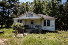 | Addie L. and A.T. Odom Homestead | building | 2012 | 12000197 |
| West Log House | building | 1979 | 79003000 |
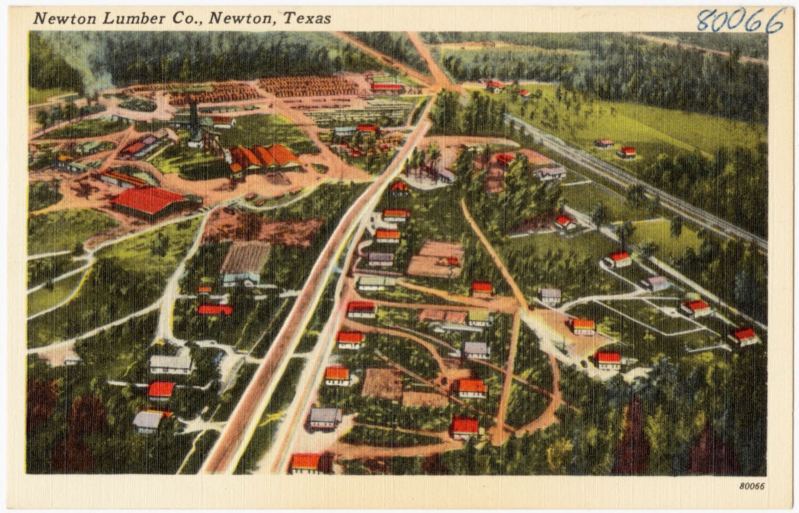
Selected from the Digital Public Library of America's 1 image records catalogued for this county. Every one shown here carries a public-domain status or a licence that permits reuse on a site that carries advertising; non-commercial, share-alike and restricted images are excluded. The selection is spread across the county's towns (at most eight per town), so no single institution's bulk upload crowds out the rest. Each opens the holding library's record, and the complete set at the Digital Public Library of America is one click away.
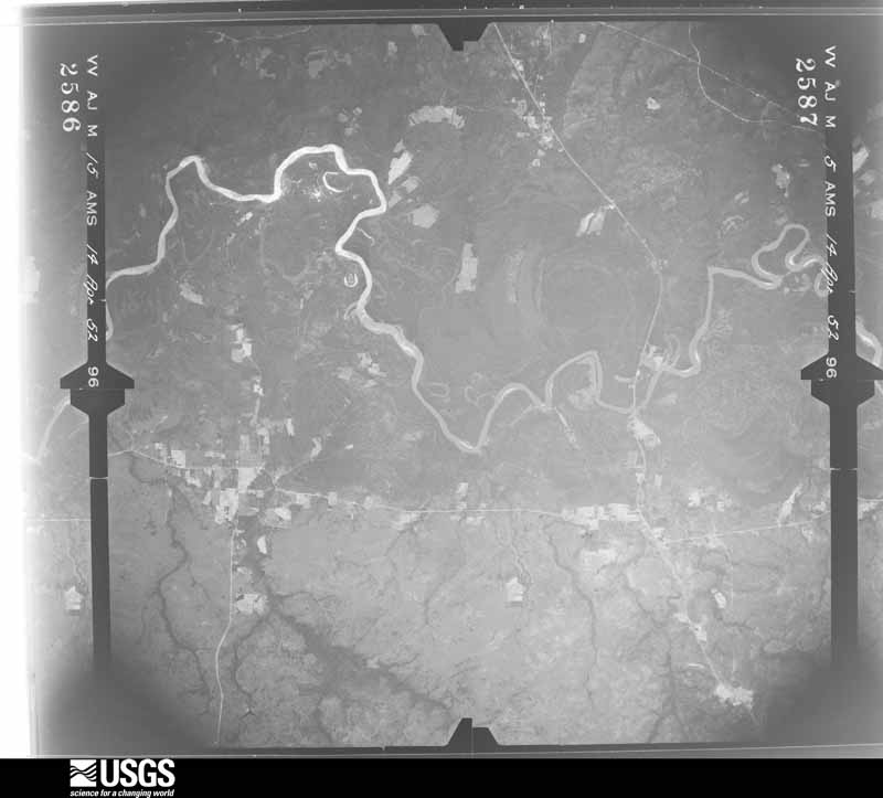
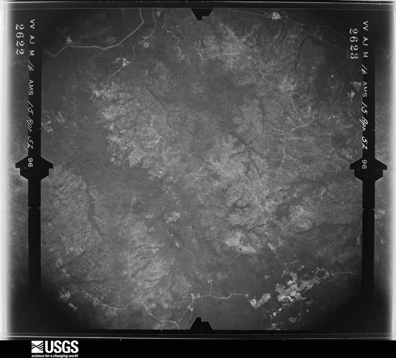
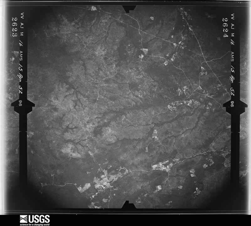
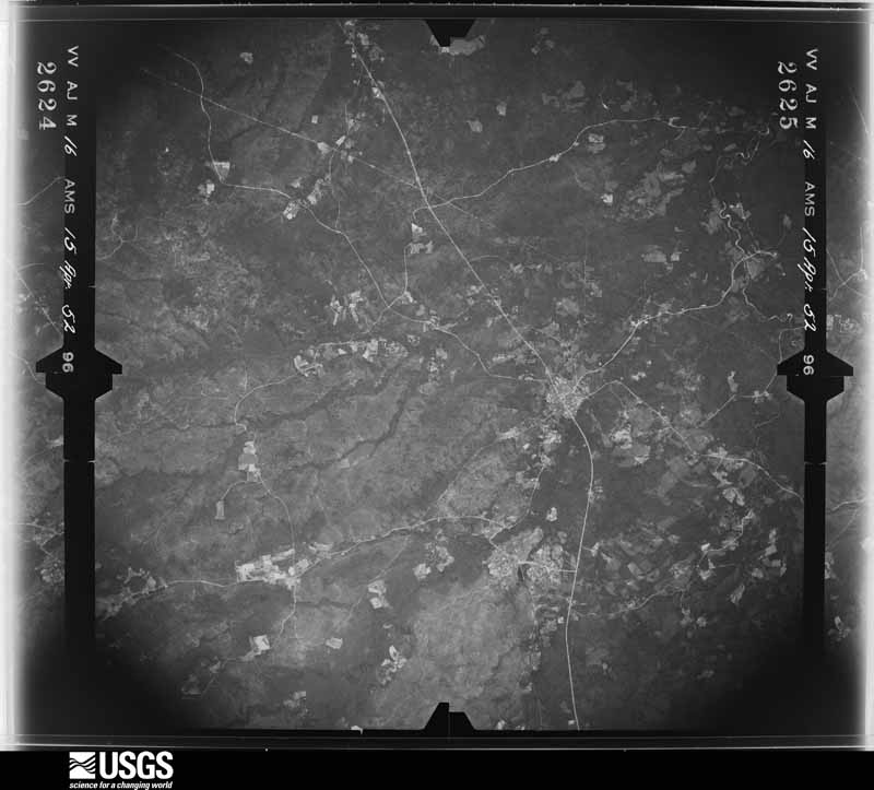
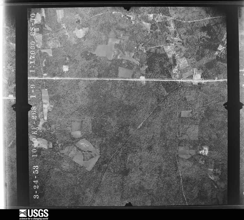
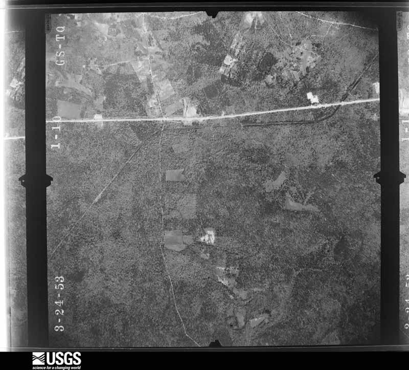
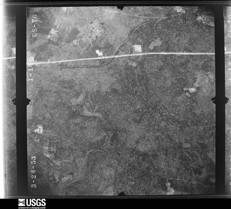
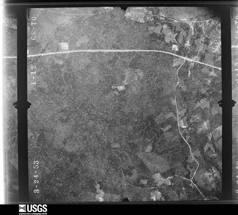
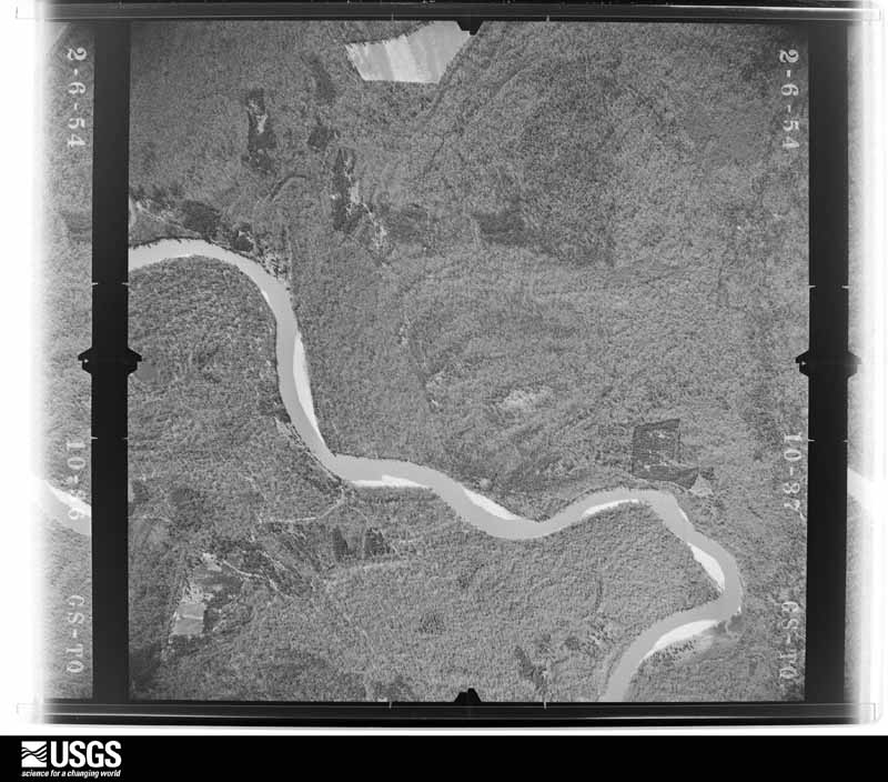
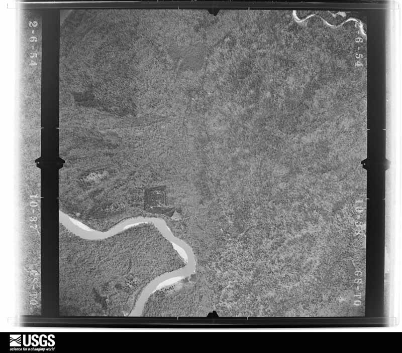
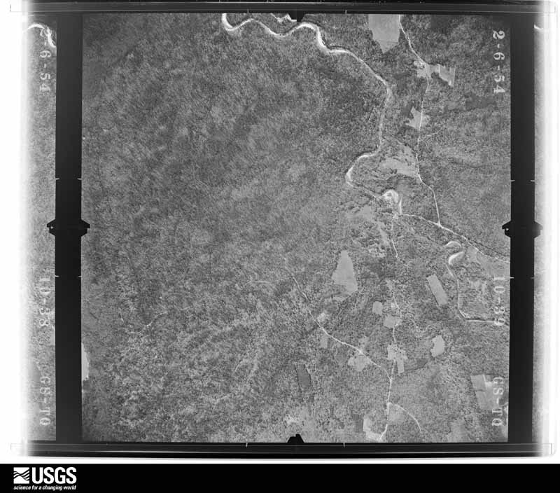
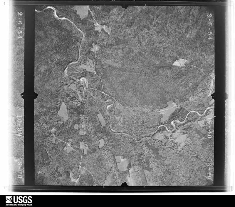
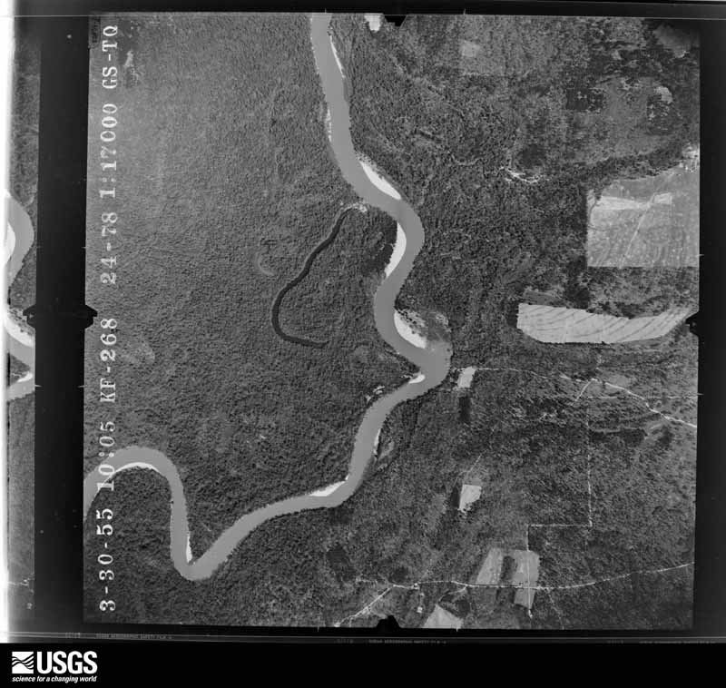
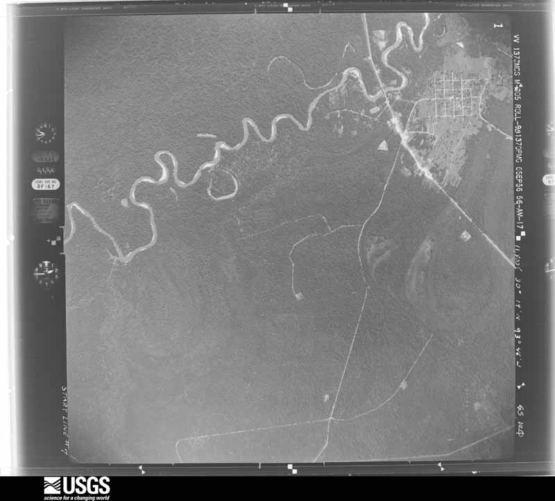
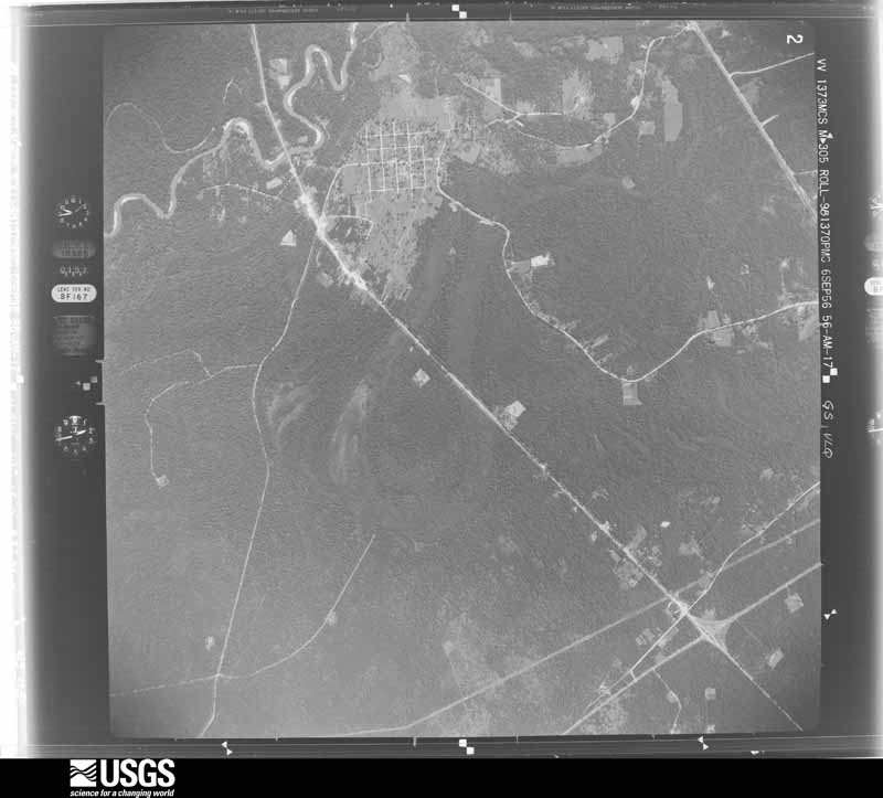
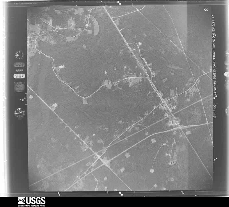
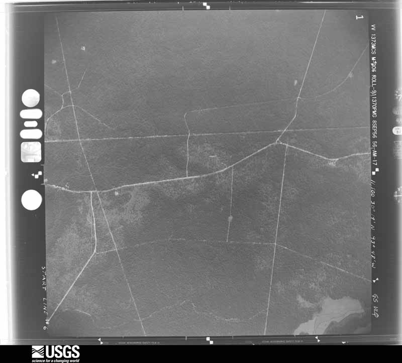
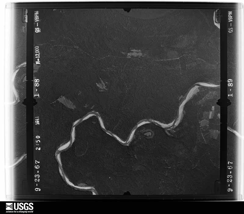
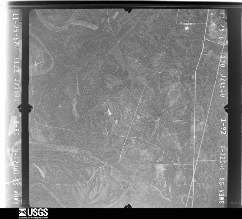
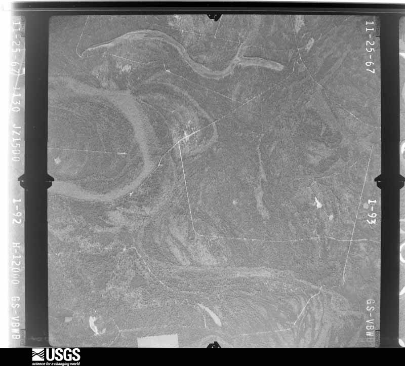
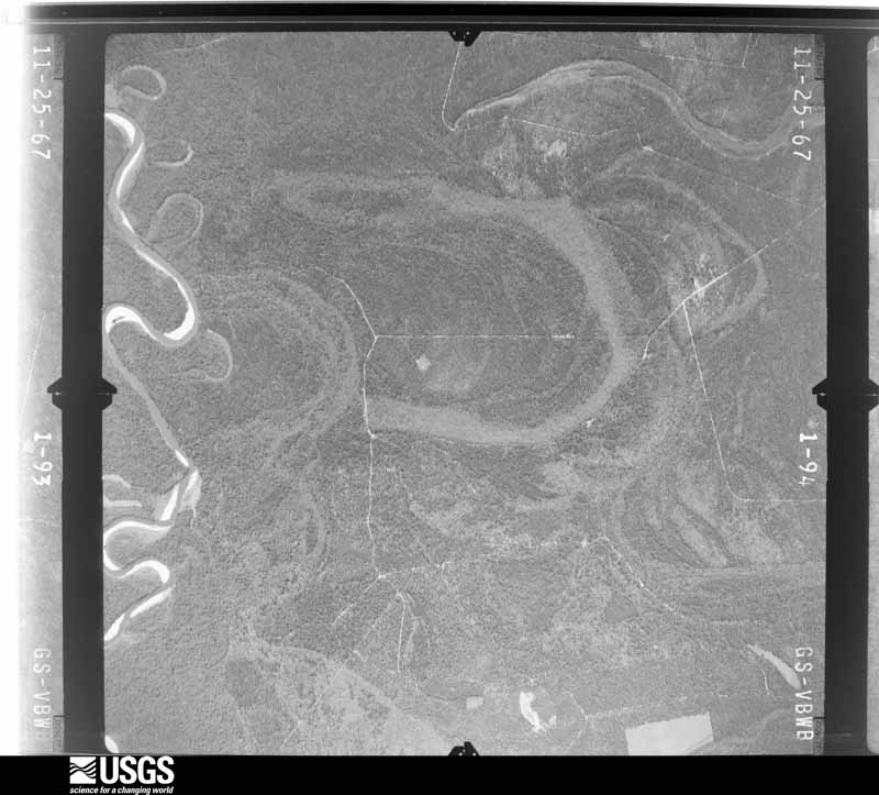
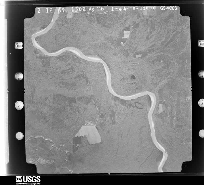
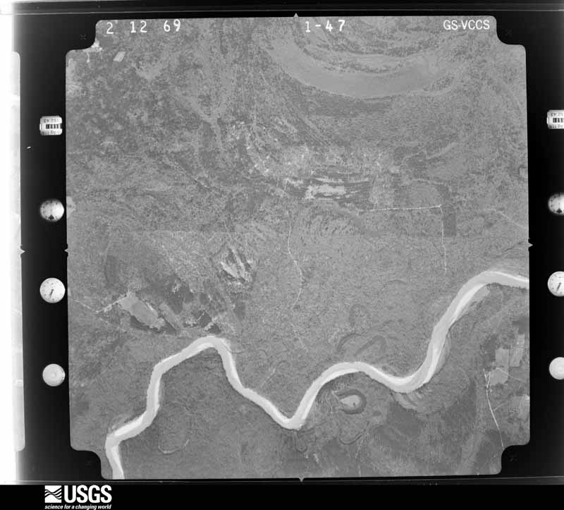
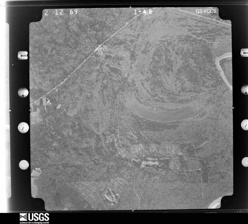
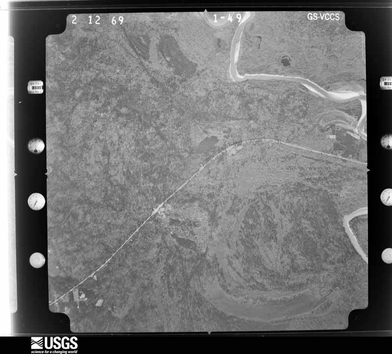
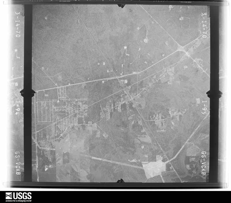
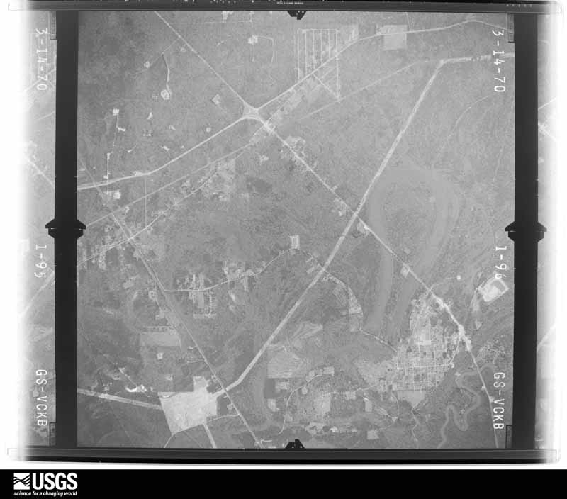
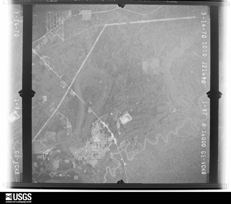
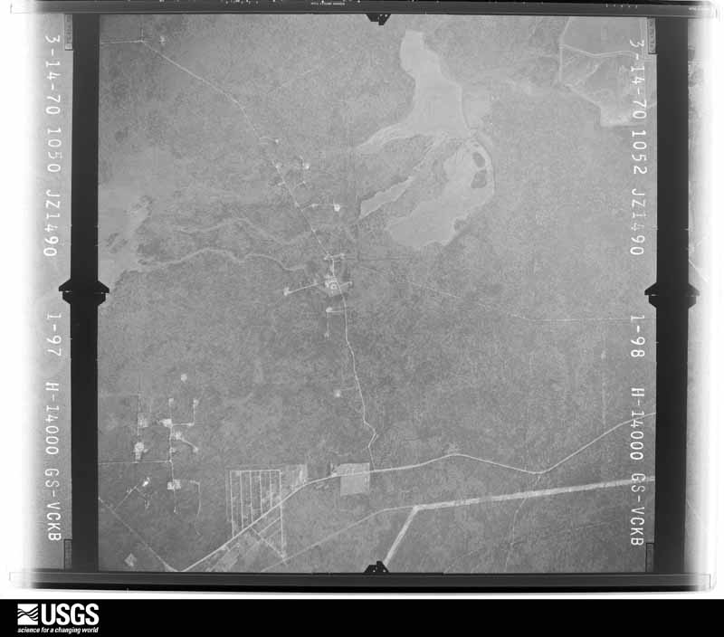
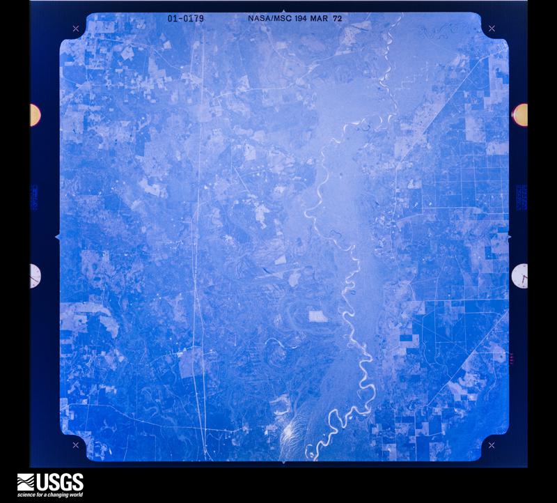
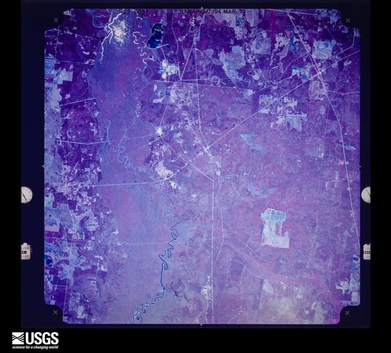
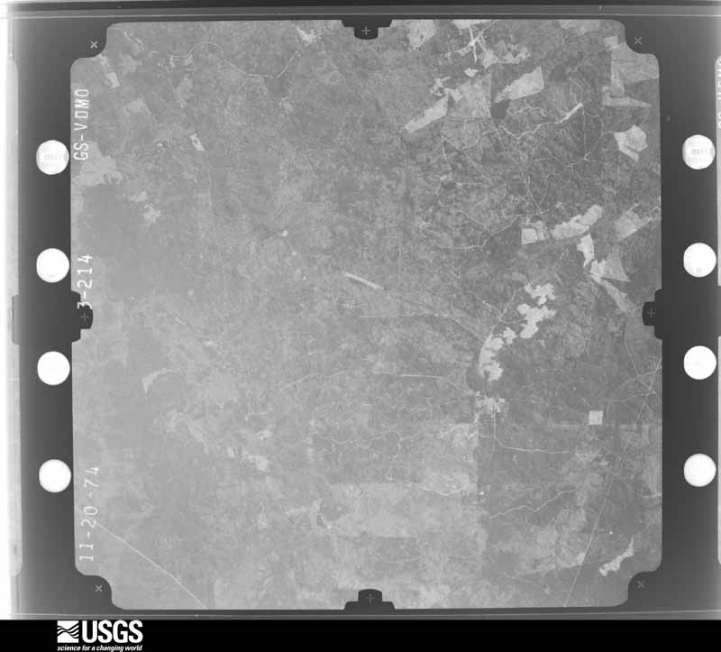
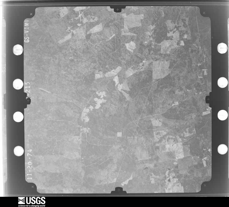
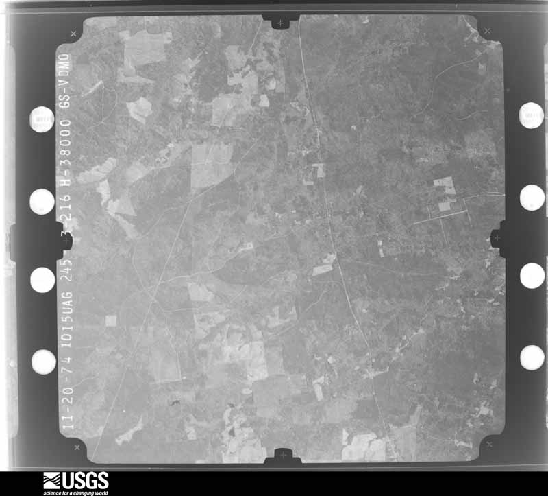
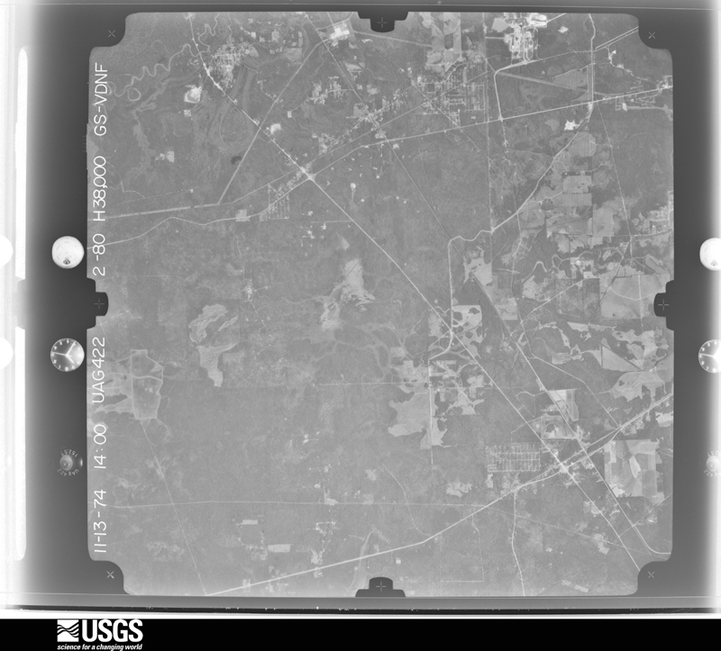
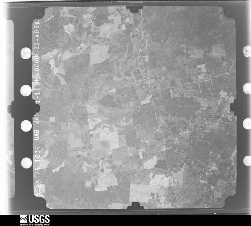
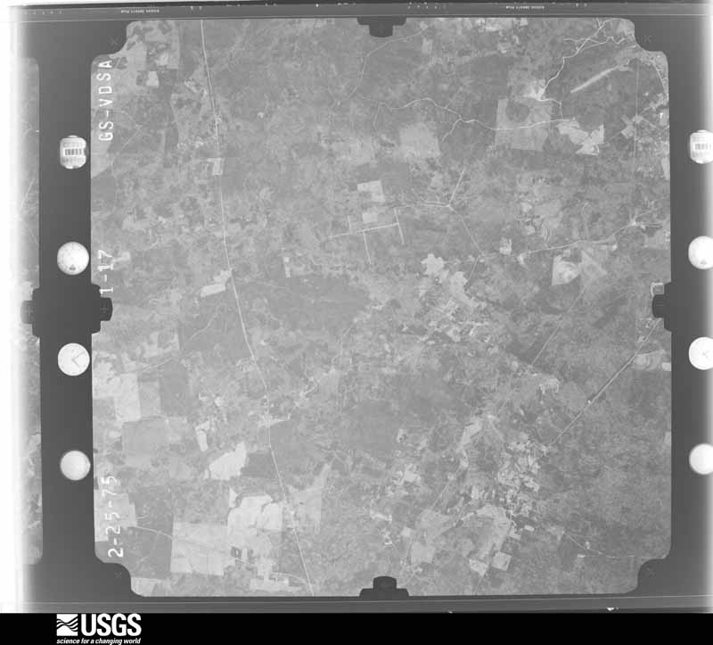
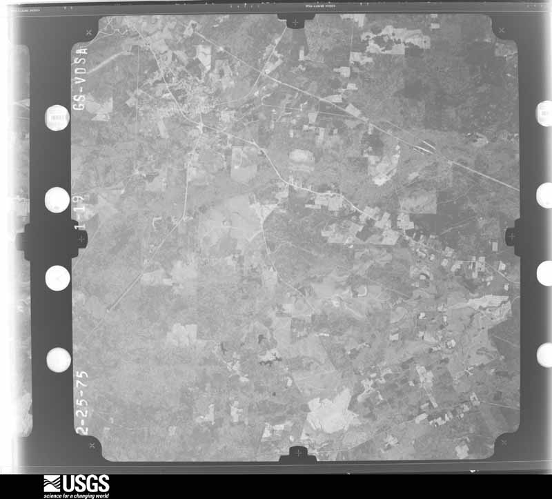
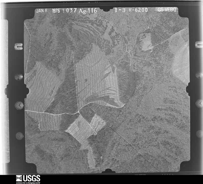
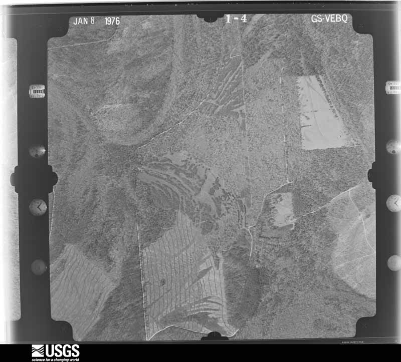
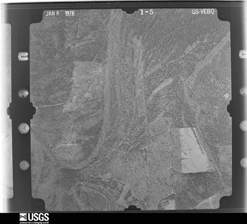
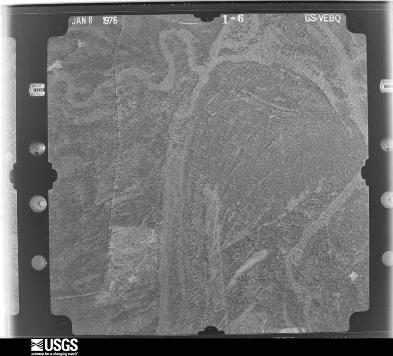
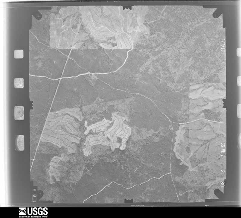
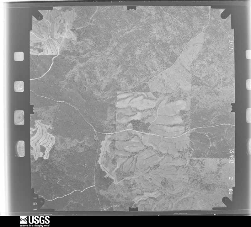
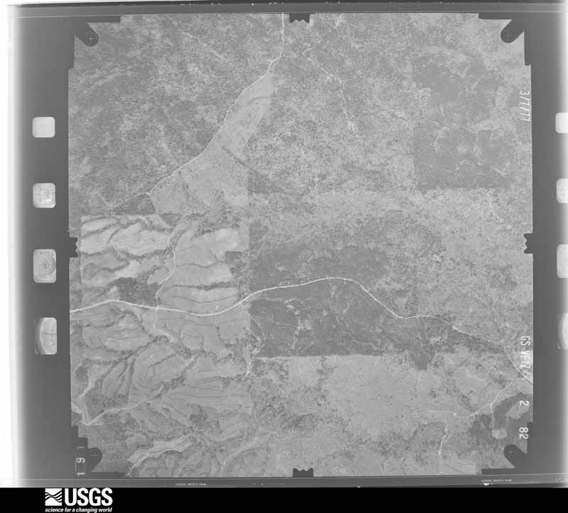
Flown by the U.S. Geological Survey between 1937 and 1989, the Aerial Photo Single Frames collection is the definitive mid-century view of the land: fields, roads and rivers as the camera saw them. The Survey holds 3,111 frames inside the rectangle that bounds this county; the 48 frames below were taken over the county itself, chosen across the decades of flights (at most four a year from that rectangle), so one flight cannot crowd out the rest. The full set is free to browse and download at EarthExplorer under the dataset Aerial Photo Single Frames.



The thermometers that kept this county's weather, and the gages that measured the flow of its streams, as the federal records hold them. The extremes below are measured values from those records, not estimates.
Who lived here in 1950, one enumeration district at a time, as the Census Bureau described each district. Each row opens its official National Archives result, with Population Schedules and ED Maps available there.
Every wildfire the federal occurrence database records inside this county: 1,946 of them, burning about 44,653 acres. 47 started naturally and 814 were recorded as arson. Each settlement page carries the fires within five miles of it.
| Reported cause | Fires |
|---|---|
| Arson/incendiarism | 814 |
| Debris and open burning | 729 |
| Missing data/not specified/undetermined | 233 |
| Equipment and vehicle use | 60 |
| Natural | 47 |
| Power generation/transmission/distribution | 26 |
| Smoking | 10 |
| Recreation and ceremony | 10 |
| Misuse of fire by a minor | 7 |
| Railroad operations and maintenance | 4 |
| Fireworks | 4 |
| Other causes | 2 |
The five largest, by the area the report gives. Five of them were set deliberately.
| Date | Cause | Size | Reported by | Name on the report |
|---|---|---|---|---|
| 1 September 2000 | Arson/incendiarism | 15,864 acres | Texas A & M Forest Service | MOORE BRANCH |
| 21 September 2004 | Missing data/not specified/undetermined | 750 acres | Texas A & M Forest Service | NEWTON |
| 28 May 2011 | Arson/incendiarism | 637 acres | Texas A & M Forest Service | HIGHWAY 2460 FIRE |
| 7 September 1995 | Arson/incendiarism | 600 acres | Texas A & M Forest Service | not named |
| 18 June 2011 | Debris and open burning | 513 acres | Livingston Area | 4097 FIRE |
| 18 March 1996 | Arson/incendiarism | 450 acres | Texas A & M Forest Service | not named |
| 11 August 1993 | Arson/incendiarism | 440 acres | Texas A & M Forest Service | not named |
| 21 May 2001 | Debris and open burning | 370 acres | Texas A & M Forest Service | WOODVILLE - 73 |
Every settlement page carries the fires within five miles of it - see the settlement index below.
The NOAA Storm Events Database holds 256 reports for this county, causing 2 deaths, 3 injuries and about $141,747,500 in recorded property damage. Each settlement page carries the reports that name it.
| Kind of event | Reports |
|---|---|
| Thunderstorm Wind | 137 |
| Hail | 54 |
| Tornado | 33 |
| Flash Flood | 25 |
| Flood | 6 |
| Funnel Cloud | 1 |
The most serious of them, by death, then injury, then recorded damage. The accounts are quoted exactly as the forecast office filed them.
| When | Event | Place named | Harm | What the report says |
|---|---|---|---|---|
| August 2017 | Flash Flood | Burkeville | 2 killed, $45,000,000 | Harvey produced 20 to 40 inches of rain across a large portion of the Newton County. This resulted in near 2,000 homes being flooded. Hardest hit areas were Trout Creek, Call, and along Big Cow Creek and the Sabine River. The Sabine River reached its 3rd, 4th, and 5th highest crests at Deweyville, Bon Weir, and Burkville respectively. |
| March 1999 | Tornado (F3) | Newton | 3 hurt, $250,000 | no account filed |
| March 2016 | Flood | Mayflower | $86,000,000 | Prolonged heavy rain on the 9th and 10th pushed Toledo Bend Reservoir to record levels while flooded creeks and streams flowed into the Sabine River. This pushed the river level at Burkeville to a record of 53.82 feet which was 5.77 feet higher than the previous record set in 1999. At Bon Weir the new record set on the 13th was 0.71 feet higher than the previous record set in 1913. At Deweyville the new record set on the 15th was 1 foot higher than the previous record set in 1884. Along the river numerous structures were flooded or in some cases, washed away. The hardest hit town was Deweyville where nearly every structure was flooded to some degree including the schools. County-wide, 458 homes received minor flood damage, 350 had major flood damage, and 500 homes were destroyed by the flood. Ten businesses received major flood damage. At least 60 million dollars is estimated to be the damage totals for homes and businesses, with an additional 26 million dollars for public property. |
| March 2016 | Flash Flood | Mayflower | $2,250,000 | Multi day rainfall amounts of 5 to 20 inches fell across Newton County with the most falling late on the 9th and early on the 10th. Most roads experienced flooding with many closed in the northern sections of the county, and several roadways were washed out. Several homes were also reported flooded during the event with at least one high water rescue of an elderly lady. Road damage alone was estimated at $1.5 million. |
| November 2009 | Flood | Mayflower | $2,000,000 | Between November 3 and November 17, significant river flooding affected dozens of residences along the Sabine River in eastern Newton County. Although only a few homes were reportedly flooded, many residences were completely surrounded by flood waters and cut off from outside areas. Some of the worst flooding occurred in and near Deweyville in southeastern Newton County, especially the River Oaks and Indian Lakes subdivisions. A temporary earthen levee was constructed on the eastern side of Deweyville to protect the town from flooding. All schools in Deweyville were closed for two weeks due to the flooding. Numerous roads throughout eastern Newton County were underwater for several weeks and received significant damage. |
| September 2019 | Flash Flood | Ruliff | $1,000,000 | Imelda brought 18 to 30 inches of rain to the southern sections of Newton County. Numerous roads were closed due to flooding. Less than 25 homes were reported to have flooded. |
| October 2006 | Flood | Burkeville | $1,000,000 | Two day rain totals of 12 to 16 inches resulted in long duration flooding across portions of northern Newton County. The hardest hit areas were just around Burkeville, where roads were flooded. At least three county road bridges were washed out. |
| November 2003 | Tornado (F2) | Burkeville | $1,000,000 | no account filed |
| October 2021 | Tornado (EF2) | Hartburg | $850,000 | This tornado crossed from Orange County into Newton County, damaging|several homes and garages in Hartburg. Max estimated wind speed was 130 MPH. |
| November 2004 | Tornado (F1) | Burkeville | $250,000 | no account filed |
| November 2004 | Tornado (F2) | Bleakwood | $250,000 | no account filed |
| April 2012 | Tornado (EF1) | Newton | $200,000 | A tornado touched down on the eastern sections of Newton, where is destroyed an abandoned house, another home lost its back porch, which flipped onto the roof and caused major damage to the roof. At least another 15-20 homes received minor damage to its trim or gutters. Numerous trees were blown down or snapped. |
| March 2022 | Tornado (EF1) | Mayflower | $150,000 | A tornado touched down along the southern end of Toledo Bend Reservoir, damaging ten homes/camps roofs, several boat docks, barns, and snapped numerous pine trees. Max estimated winds of the tornado was 110 mph. |
| November 2004 | Tornado (F1) | Newton | $100,000 | no account filed |
| April 2020 | Tornado (EF2) | Jamestown | $75,000 | The tornado removed the roof from a mobile home, otherwise trees along its path were damaged or snapped. The tornado debarked trees at times. |
| December 2020 | Tornado (EF2) | Belgrade | $70,000 | A tornado briefly touched down on FM1416 between Bon Wier and Trout Creek. One home lost a large section of its roof. A large barn had its roof torn off. Several trees were uprooted or snapped. |
| March 2017 | Tornado (EF1) | Farrsville | $50,000 | Numerous large trees were uprooted or snapped along Highway 63 west|of Farrsville, including County Roads 1012, 1064, and 1065. At least two houses had|trees land on them. The tornado ended along US Highway 87 south of Mayflower, where|a mobile home lost its roof and a couple of large trees were snapped near a church. The peak winds in the tornado was estimated at 110 MPH. The path was 12.2 miles long and 800 yards wide. |
| January 2017 | Tornado (EF1) | Burkeville | $50,000 | A tornado touched down near a field off of FM 2991 east of Burkeville,|seen by several eyewitnesses. It knocked a tree down on the edge of|the field, before moving across the field and picking up a deer feed|and watering device. As the device flew through the air, it decapitated|a deer, killing it. The tornado blew part of the tin roof off a a one|story home,and peeled back the carport on the other side of the home.|Several trees in the neighborhood were uprooted or snapped at the trunk. The peak estimated winds were 105 MPH. |
| June 2001 | Flash Flood | Deweyville | $50,000 | Mainly street and bridge damage occurred in southern sections of Newton County as a result of nearly ten inches of rain in less than ten hours. |
| May 1994 | Thunderstorm Wind | Countywide | $50,000 | The Sheriffs Office reported trees down in the Bleekwood area and along Highway 87. |
| May 1994 | Thunderstorm Wind | Countywide | $50,000 | Numerous trees were blown over along with power and telephone lines down. |
| November 2004 | Tornado (F1) | Burkeville | $50,000 | no account filed |
| November 2004 | Thunderstorm Wind | Deweyville | $50,000 | no account filed |
| March 1999 | Tornado (F1) | Newton | $50,000 | no account filed |
| April 1999 | Flash Flood | Newton | $50,000 | no account filed |
| September 1998 | Flash Flood | Bleakwood | $50,000 | no account filed |
| January 2017 | Tornado (EF1) | Belgrade | $30,000 | A tornado touched down near the Backwoods Beach community. An eyewitness|watched it move across the lakes before it snapped multiple pine trees|around the beach, blocking roads but missing the buildings. The estimated peak wind was 105 MPH. |
| March 2012 | Flash Flood | Hartburg | $30,000 | Thunderstorms trained over the same area through the afternoon and evening across portions of Southeast Texas and Southwest Louisiana. Between 10 and 14 inches of rain flooded and closed roadways across northern and central Newton County. Water was around one and a half foot deep in some roadways around Burkville. |
| April 2015 | Tornado (EF1) | Call | $25,000 | This tornado formed near the Neches River west of Kirbyville in Jasper County and moved east to southeast. The tornado entered Newton County between FM 1013 and South Saint Aubin Road as it passed north of Call. Numerous trees were uprooted or snapped along the path damaging a few homes from debris hitting them. Some outbuildings were also damaged. The average width was 50 yards and the path was 5 miles long in Newton County. The total length of the path was 13.3 miles. |
| November 2004 | Tornado (F1) | Jamestown | $25,000 | no account filed |
| January 1999 | Tornado (F0) | Call | $25,000 | no account filed |
| May 1999 | Tornado (F0) | Burkeville | $25,000 | no account filed |
| May 1996 | Thunderstorm Wind | Deweyville | $25,000 | no account filed |
| April 1961 | Tornado (F2) | not stated | $25,000 | no account filed |
| April 2013 | Flood | Burkeville | $20,000 | A bridge along FM 1041 was washed out 4 miles West-Southwest of Burkville from rainfall run-off. |
| April 2012 | Thunderstorm Wind | Burkeville | $20,000 | Trees were blown down along FM 1415 in Burkeville. |
| June 2001 | Flash Flood | Newton | $20,000 | Around five inches of rain fell in less than one hour, resulting in deep water across highways north and west of Newton. Minor road damage did occur. |
| April 2006 | Thunderstorm Wind | Countywide | $20,000 | no account filed |
| January 1999 | Tornado (F1) | Call | $20,000 | no account filed |
| March 1999 | Tornado (F0) | Bleakwood | $20,000 | no account filed |
| March 1997 | Thunderstorm Wind | Deweyville | $20,000 | no account filed |
| May 2008 | Thunderstorm Wind | Deweyville | $15,000 | Trees were blown down in many locations across Newton County. |
| July 2018 | Thunderstorm Wind | Newton Muni Arpt | $12,000 | Several trees were downed near the town of Newton during a thunderstorm. An outbuilding and dog kennel was also reported damaged. |
| August 2016 | Thunderstorm Wind | Wiergate | $10,000 | Several trees were reported down near Burkeville. |
| August 2011 | Thunderstorm Wind | Wiergate | $10,000 | Several trees were blown over near Burkeville during a severe thunderstorm. |
| November 2011 | Tornado (EF1) | Call | $10,000 | A tornado touched down near Call, pulling some tin off a barn behind the convenience store, before snapping dozens of pine trees on Highway 82 near the Highway 1004 intersection. |
| April 2002 | Thunderstorm Wind | Countywide | $10,000 | no account filed |
| January 1999 | Tornado (F0) | Newton | $10,000 | no account filed |
| March 1999 | Thunderstorm Wind | Burkeville | $10,000 | no account filed |
| January 1999 | Flash Flood | Newton | $10,000 | no account filed |
| January 1999 | Thunderstorm Wind | Deweyville | $10,000 | no account filed |
| November 1998 | Thunderstorm Wind | Newton | $10,000 | no account filed |
| August 1998 | Thunderstorm Wind | Deweyville | $10,000 | no account filed |
| February 1998 | Thunderstorm Wind | Newton | $10,000 | no account filed |
| February 1998 | Thunderstorm Wind | Newton | $10,000 | no account filed |
| February 1998 | Thunderstorm Wind | Burkeville | $10,000 | no account filed |
| August 1997 | Thunderstorm Wind | Burkeville | $10,000 | no account filed |
| December 1997 | Thunderstorm Wind | Call | $10,000 | no account filed |
| October 1997 | Thunderstorm Wind | Bleakwood | $10,000 | no account filed |
| October 2018 | Tornado (EF1) | Call | $5,000 | The tornado moved out of Jasper County and across forested land in Newton County. The tornado dissipated near Highway 87. The maximum estimated winds were 104 MPH. |
The Survey's mineral resources record lists 3 workings inside this county. 1 still produces and 2 are closed or unrecorded. Each settlement page carries the workings within five miles of it.
| Commodity | Workings |
|---|---|
| Silica | 3 |
| Sand and Gravel, Construction | 1 |
The least common of them first, because a county's hundredth gravel pit says nothing its first ten did not.
| Where | Site | Commodity | Status | Recorded |
|---|---|---|---|---|
| Deweyville Dredge & Plant | Silica, Sand and Gravel, Construction | Producer | ||
| Unknown | Silica | Past Producer | ||
| Unknown | Silica | Past Producer |
Named settlements recorded in the Geographic Names Information System, each with the topographic sheets covering it. Villages, hamlets and abandoned places alike. Each is shown with the nearest named watercourse or landform and the survey quadrangle it falls on.
Call census division · 75956 · On Whitman Branch · Bleakwood quadrangle
9 sheets, 1952 to 1986
Call census division · 75956 · On Thickety Creek · Bleakwood quadrangle
9 sheets, 1952 to 1986
Newton census division · 75928 · On Quicksand Creek · Bon Wier quadrangle
12 sheets, 1935 to 1986
Newton census division · 75966 · On Threemile Branch · Newton East quadrangle
9 sheets, 1952 to 1986
Burkeville census division · 75932 · Near Harrol Hollow · Shankleville quadrangle
9 sheets, 1952 to 1986
Burkeville census division · 75977 · On Jordan Branch · Jamestown quadrangle
9 sheets, 1952 to 1986
Newton census division · 75928 · On Hassle Branch · Bon Wier quadrangle
12 sheets, 1935 to 1986
Call census division · 75956 · On Whitman Branch · Bleakwood quadrangle
9 sheets, 1952 to 1986
Burkeville census division · 75977 · On Deer Creek · Weeks Settlement quadrangle
9 sheets, 1953 to 1986
Newton census division · 75966 · Near Lewis Gully · Jamestown quadrangle
9 sheets, 1952 to 1986
Burkeville census division · 75977 · On Jordan Branch · Jamestown quadrangle
9 sheets, 1952 to 1986
Burkeville census division · 75948 · On Rock Creek · Hurricane Creek quadrangle
10 sheets, 1953 to 2003
Burkeville census division · 75932 · On Clear Creek · Shankleville quadrangle
9 sheets, 1952 to 1986
Burkeville census division · 75932 · On Richland Branch · Shankleville quadrangle
9 sheets, 1952 to 1986
Burkeville census division · 75932 · On West Prong Indian Creek · Haddens quadrangle
17 sheets, 1944 to 2003
Burkeville census division · 75932 · On Babel Creek · Haddens quadrangle
17 sheets, 1944 to 2003
Call census division · 75933 · On Trout Creek · Trout Creek quadrangle
9 sheets, 1952 to 1986
Burkeville census division · 75977 · Weeks Settlement quadrangle
9 sheets, 1953 to 1986