 Block
BlockMayflower, Texas
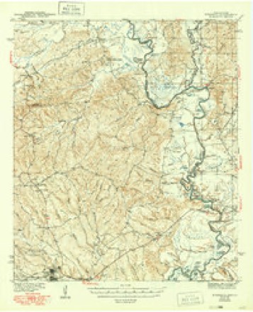
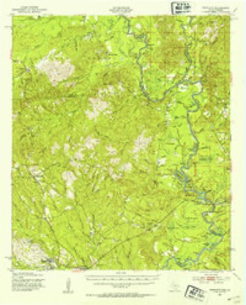
14 topographic sheets cover this place, the earliest surveyed in 1944 and the latest in 1986. It stands in the Burkeville census division. It lies in ZIP code area 75977. The Survey maps it on the Wiergate quadrangle. It stands 446 feet above sea level.
Topographic sheets covering this place
8 surveys from 14 printed sheetsMatched by testing this settlement's coordinate against the published boundary of every sheet in the United States Geological Survey's historical collection. Each opens the scanned sheet at the Survey.
- 1944 USGS Wiergate quadrangle1:62500, 2 printings
- 1948 USGS Wiergate quadrangle1:62500
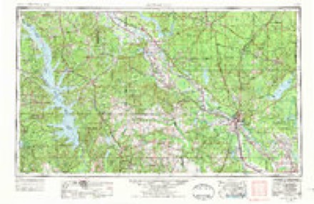
- 1953 USGS Alexandria quadrangle1:250000, 3 printings
- 1954 USGS Wiergate quadrangle1:62500, 3 printings
- 1954 USGS Wiergate quadrangle1:24000, 2 printings
- 1955 USGS Alexandria quadrangle1:250000
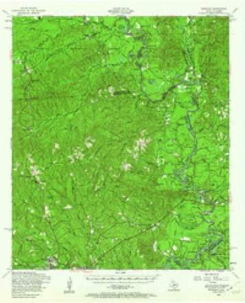
- 1985 USGS Wiergate quadrangle1:24000
- 1986 USGS Leesville quadrangle1:100000
Fires near this place
50 since 1992Regional context, not property-specific evidence. The federal wildfire occurrence database lists 50 fires within 5 miles of Mayflower between 1992 and 2017, burning about 444 acres in total. 4 started naturally. 13 were recorded as arson. Distance is straight-line from the map coordinates, so a fire counted here may appear on a neighbouring settlement's page as well.
| Reported cause | Fires |
|---|---|
| Debris and open burning | 15 |
| Arson/incendiarism | 13 |
| Missing data/not specified/undetermined | 13 |
| Equipment and vehicle use | 5 |
| Natural | 4 |
The most recent of them, most recent first, with the day each was reported and the service that recorded it.
| Date | Cause | Size | Reported by | Name on the report |
|---|---|---|---|---|
| 3 September 1995 | Debris and open burning | 26 acres | Texas A & M Forest Service | not named |
| 3 September 1995 | Arson/incendiarism | 18 acres | Texas A & M Forest Service | not named |
| 29 September 1993 | Debris and open burning | 3.0 acres | Texas A & M Forest Service | not named |
| 23 September 2006 | Equipment and vehicle use | 5.0 acres | Texas A & M Forest Service | 889-E-16 |
| 23 September 1999 | Arson/incendiarism | 8.0 acres | Texas A & M Forest Service | not named |
| 22 September 2017 | Debris and open burning | 4.3 acres | Texas A & M Forest Service | 8080 |
| 21 September 2005 | Missing data/not specified/undetermined | 2.0 acres | Texas A & M Forest Service | WOODVILLE - 240 |
| 14 September 1999 | Arson/incendiarism | 10 acres | Texas A & M Forest Service | not named |
Settlements close enough to share some of these fires:
Storms near this place
15 since 1995Regional context, not property-specific evidence. The National Weather Service names Mayflower in 15 storm reports between 1995 and 2025: 9 thunderstorm wind, 2 flood, 2 hail, 1 flash flood. No death or injury is recorded in these reports. Each account below is quoted exactly as the forecast office filed it, from the NOAA Storm Events Database, and each date opens the federal record of that event.
| When | Event | Place named | Harm | What the report says |
|---|---|---|---|---|
| March 2016 | Flood | Mayflower | $86,000,000 | Prolonged heavy rain on the 9th and 10th pushed Toledo Bend Reservoir to record levels while flooded creeks and streams flowed into the Sabine River. This pushed the river level at Burkeville to a record of 53.82 feet which was 5.77 feet higher than the previous record set in 1999. At Bon Weir the new record set on the 13th was 0.71 feet higher than the previous record set in 1913. At Deweyville the new record set on the 15th was 1 foot higher than the previous record set in 1884. Along the river numerous structures were flooded or in some cases, washed away. The hardest hit town was Deweyville where nearly every structure was flooded to some degree including the schools. County-wide, 458 homes received minor flood damage, 350 had major flood damage, and 500 homes were destroyed by the flood. Ten businesses received major flood damage. At least 60 million dollars is estimated to be the damage totals for homes and businesses, with an additional 26 million dollars for public property. |
| March 2016 | Flash Flood | Mayflower | $2,250,000 | Multi day rainfall amounts of 5 to 20 inches fell across Newton County with the most falling late on the 9th and early on the 10th. Most roads experienced flooding with many closed in the northern sections of the county, and several roadways were washed out. Several homes were also reported flooded during the event with at least one high water rescue of an elderly lady. Road damage alone was estimated at $1.5 million. |
| November 2009 | Flood | Mayflower | $2,000,000 | Between November 3 and November 17, significant river flooding affected dozens of residences along the Sabine River in eastern Newton County. Although only a few homes were reportedly flooded, many residences were completely surrounded by flood waters and cut off from outside areas. Some of the worst flooding occurred in and near Deweyville in southeastern Newton County, especially the River Oaks and Indian Lakes subdivisions. A temporary earthen levee was constructed on the eastern side of Deweyville to protect the town from flooding. All schools in Deweyville were closed for two weeks due to the flooding. Numerous roads throughout eastern Newton County were underwater for several weeks and received significant damage. |
| March 2022 | Tornado (EF1) | Mayflower | $150,000 | A tornado touched down along the southern end of Toledo Bend Reservoir, damaging ten homes/camps roofs, several boat docks, barns, and snapped numerous pine trees. Max estimated winds of the tornado was 110 mph. |
| May 2009 | Thunderstorm Wind | Mayflower | $5,000 | The public reported trees blown down on lake cabins southwest of the Toledo Bend Dam. |
| August 1999 | Thunderstorm Wind | Mayflower | $5,000 | no account filed |
| June 2007 | Thunderstorm Wind | Mayflower | $2,000 | Several trees were blown down around the lake. |
| May 2025 | Thunderstorm Wind | Mayflower | - | A tree was blown down across Hickory Hill Drive. |
| March 2025 | Thunderstorm Wind | Mayflower | - | A KFDM mesonet recorded a wind gust of 51 Knots. |
| May 2024 | Thunderstorm Wind | Mayflower | - | A mesonet from KFDM at Toledo Bend Dam recorded a wind gust of 59 mph. |
| May 2024 | Thunderstorm Wind | Mayflower | - | The KFDM mesonet station on Toledo Bend Dam recorded a wind gust to 77 mph. |
| March 2018 | Hail | Mayflower | - | Half dollar size hail was photographed near Toledo Bend. |
| March 2014 | Thunderstorm Wind | Mayflower | - | Wind gusts of near 70 MPH were estimated at the Toledo Bend Dam with a passing thunderstorm. |
| March 2009 | Hail | Mayflower | - | The public reported penny size hail 2 miles west of Toledo Bend Dam. |
| March 1995 | Thunderstorm Wind | Mayflower | - | Trees blown over on Highway 255 near Mayflower. |
Nearest settlements
The eight closest, with where each one stands in the county. Distances are straight-line, computed from the Geographic Names Information System coordinates.
| Map | Place | Distance | Sheets |
|---|---|---|---|
| Indian Hills | 4.5 miles | 9 | |
| Weeks Settlement | 5.8 miles | 9 | |
| Wiergate | 6.6 miles | 9 | |
| Mattox | 6.9 miles | 9 | |
| Burkeville | 7.3 miles | 9 | |
| South Toledo Bend | 7.8 miles | 17 | |
| Scrapping Valley | 8.0 miles | 10 | |
| Shankleville | 8.7 miles | 9 |
Elsewhere
Matched on this settlement's Geographic Names Information System number rather than its name, so it cannot be a different place of the same name in another state.
| Wikipedia article on Mayflower | An encyclopaedic summary. Its text is share-alike, so it is linked here rather than copied. |
| Wikidata item Q130245200 | The structured record the population and elevation above come from. Public domain (CC0). |
Provenance
This settlement is recorded in the Geographic Names Information System as feature 1380159. The sheet list is computed by point-in-boundary test against the United States Geological Survey's historical topographic inventory. Both are works of the United States government and carry no copyright under 17 U.S.C. 105.
Wildfire. Short, Karen C. 2022. Spatial wildfire occurrence data for the United States, 1992-2020 [FPA_FOD_20221014]. 6th Edition. Fort Collins, CO: Forest Service Research Data Archive. https://doi.org/10.2737/RDS-2013-0009.6 Collected with United States Government funding and usable without additional permissions or fees.
Storms. NOAA National Centers for Environmental Information, Storm Events Database https://www.ncei.noaa.gov/stormevents/ A work of the United States government, no copyright under 17 U.S.C. 105. Narratives are quoted verbatim from the National Weather Service report and are not edited or summarised.