 Block
BlockFrom the record
11 National Register listings published here.
Sources: the National Register database, National Park Service
55 topographic sheets cover 21 settlements here, and 11 properties are on the National Register of Historic Places.
11 National Register listings published here.
Sources: the National Register database, National Park Service
Every property in this county listed on the National Register of Historic Places, with the year it was listed and the federal nomination document.
| Photograph | Property | Type | Listed | Reference |
|---|---|---|---|---|
 | Baker Hotel | building | 1982 | 82004518 |
 | First Presbyterian Church | building | 1979 | 79003004 |
 | Gallagher House | building | 2011 | 11000232 |
| Mineral Wells Central Historic District | district | 2020 | 100005524 | |
 | Palo Pinto County Courthouse | building | 1997 | 97000365 |
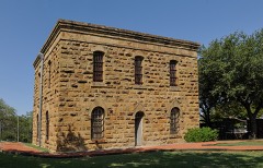 | Palo Pinto County Jail | building | 1979 | 79003005 |
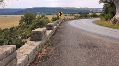 | State Highway 16, Brazos River Bridge Segment | district | 2015 | 15000153 |
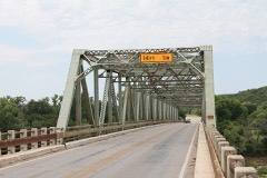 | US 281 Bridge at the Brazos River | structure | 1996 | 96001126 |
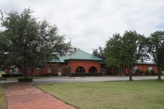 | Weatherford-Mineral Wells and Northwestern Railroad Depot | building | 1984 | 84001953 |
| Zim's Bottling Works and Tourist Park | district | 2026 | 100012785 |
Drawn when these were printed as single large sheets: the town seen from the air, and the county divided into its farms with every owner named. Each opens the original at the Library of Congress.

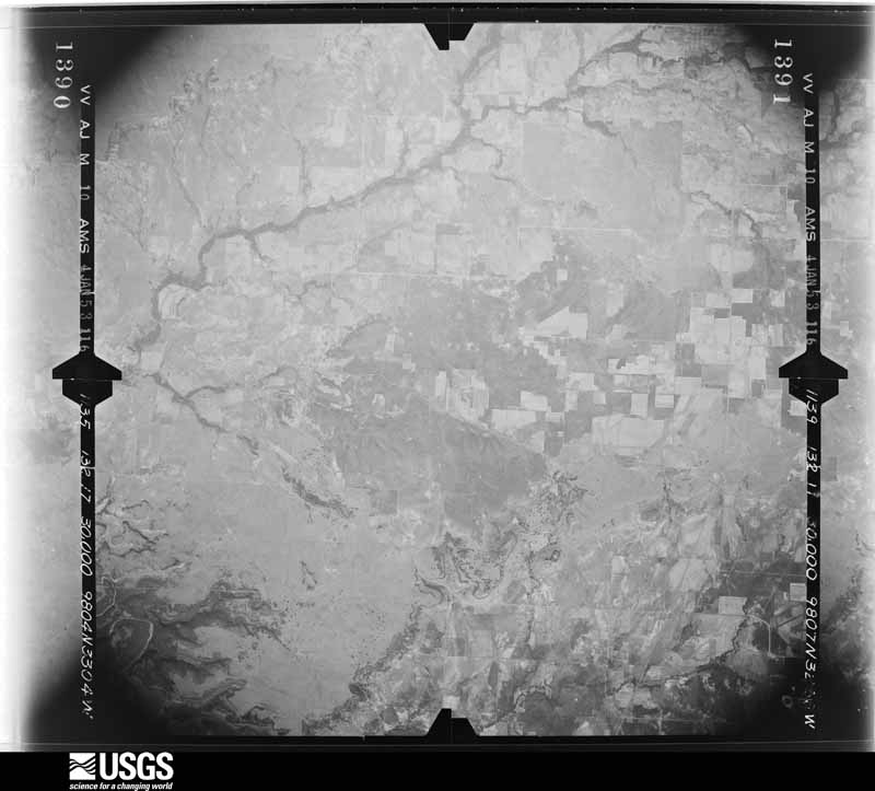
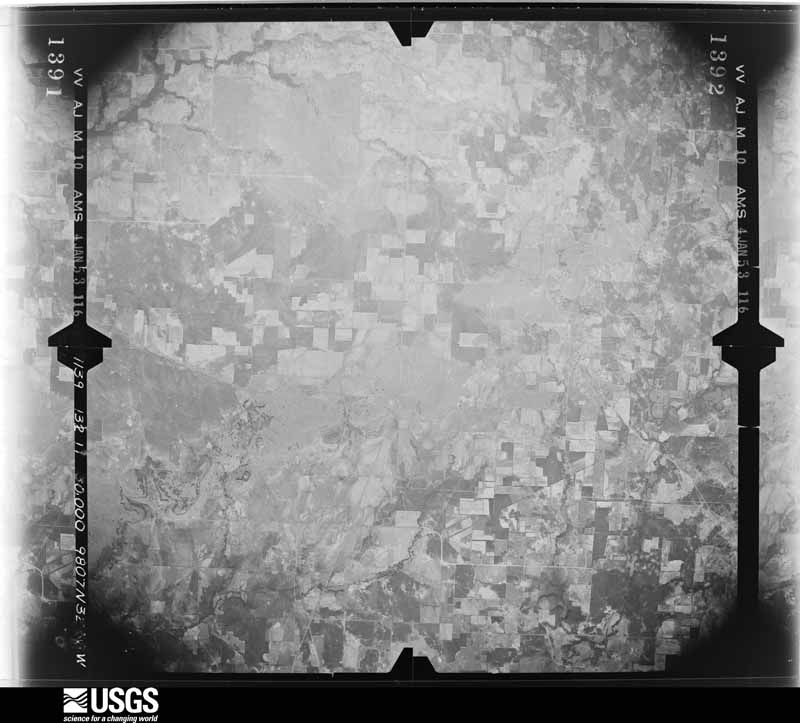
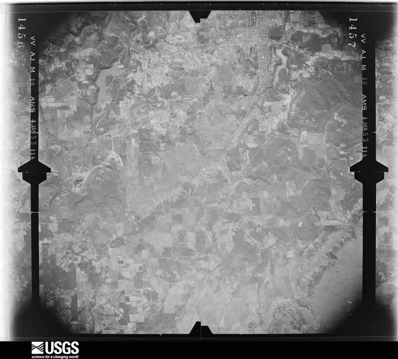
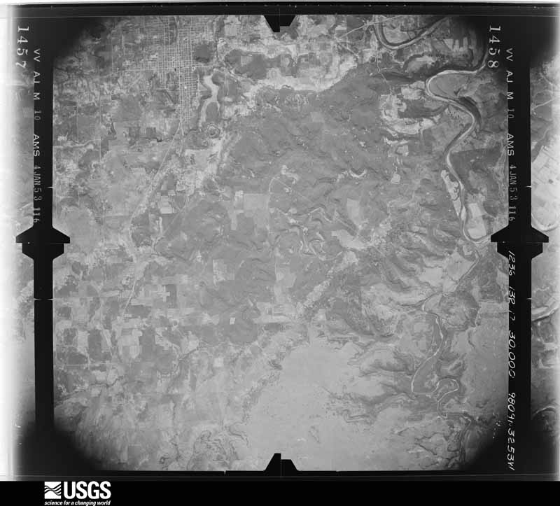
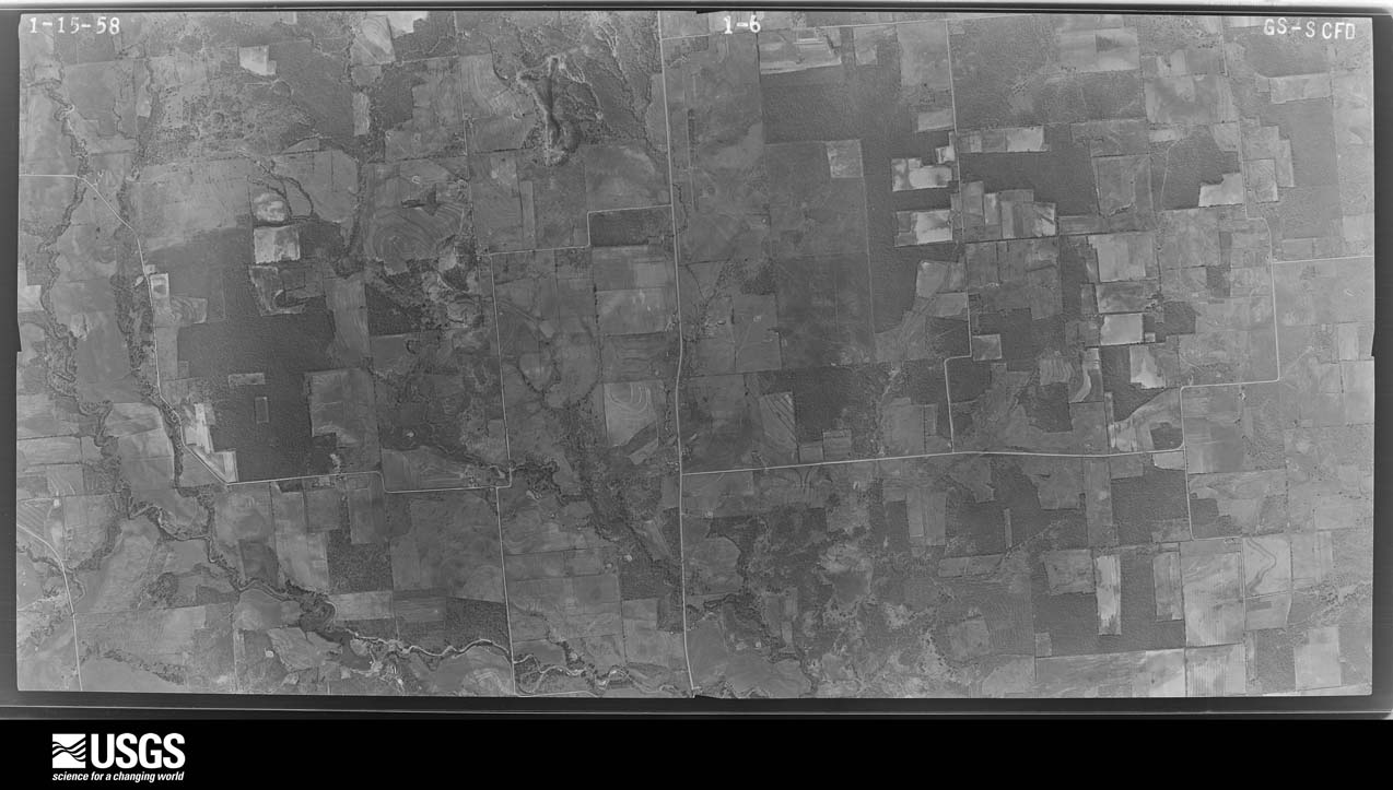
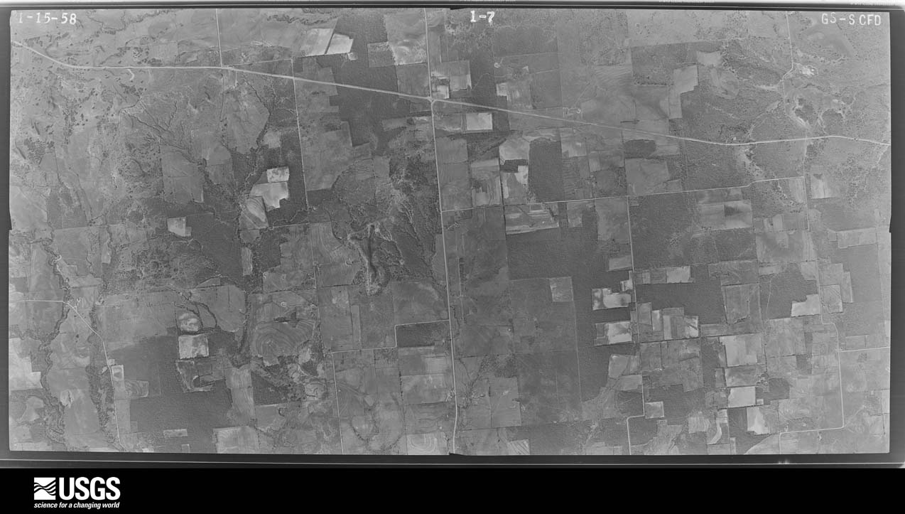
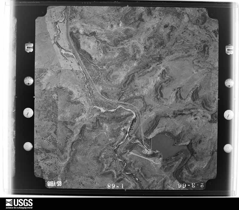
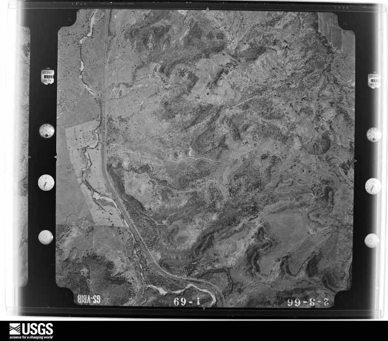
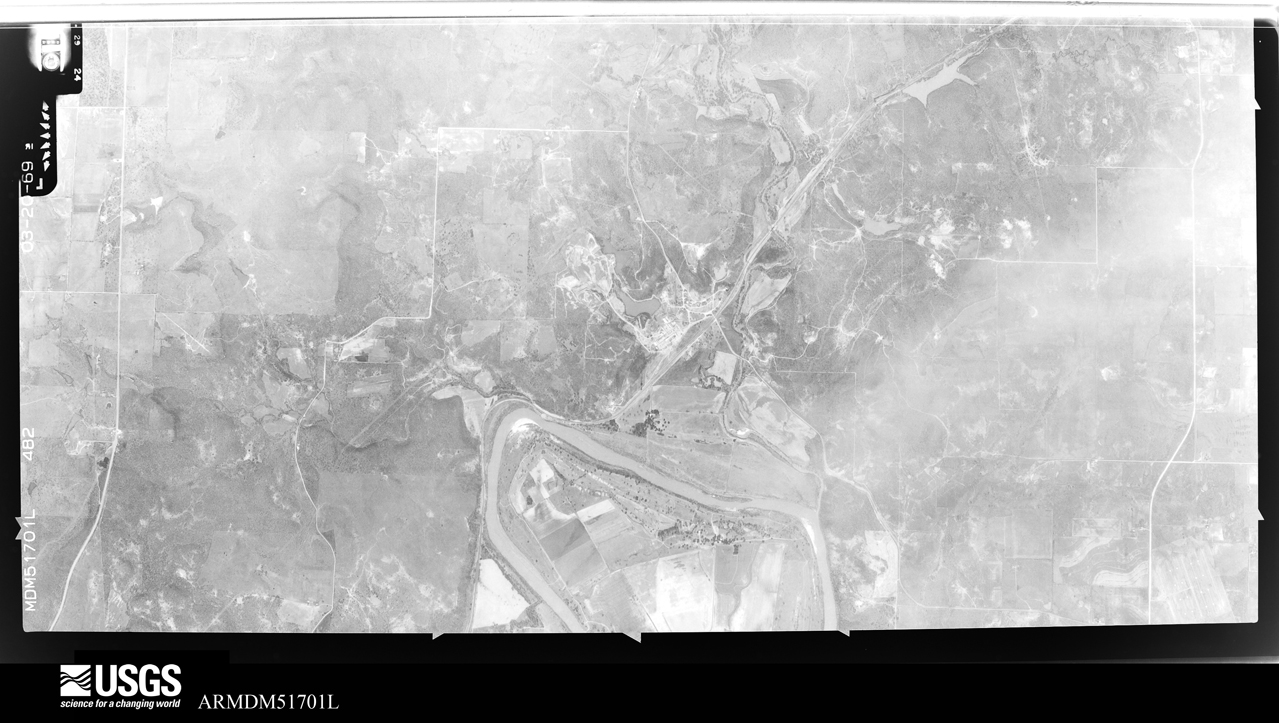
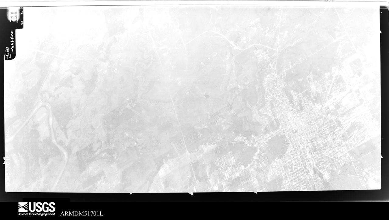
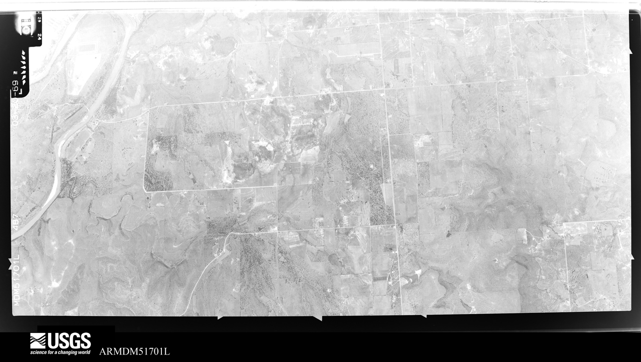
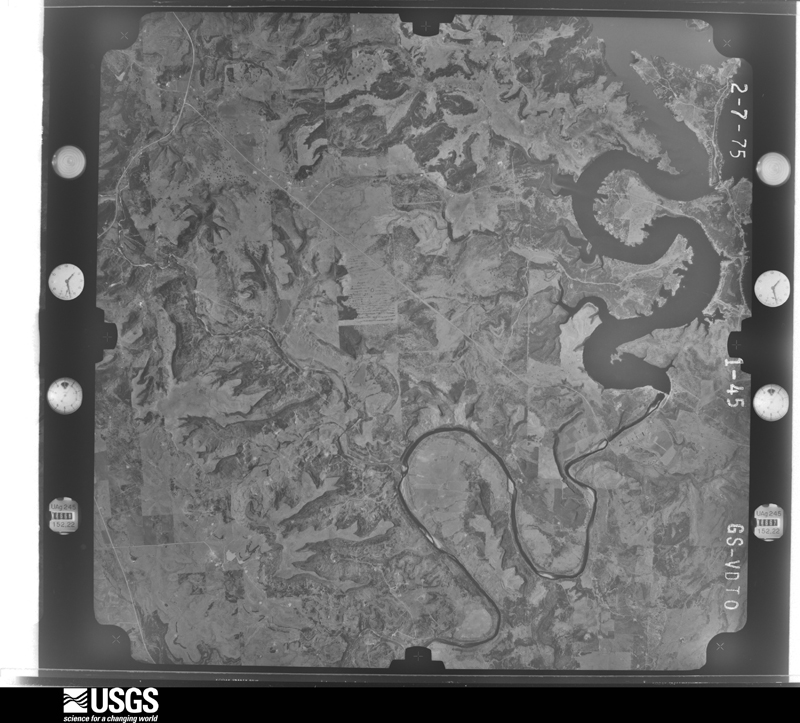
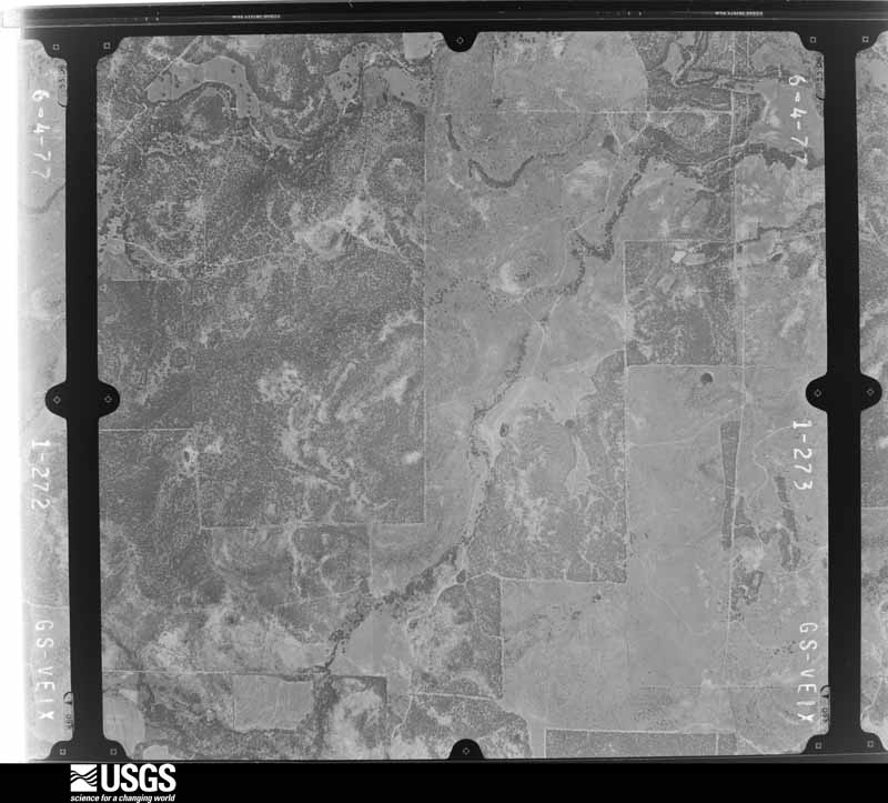
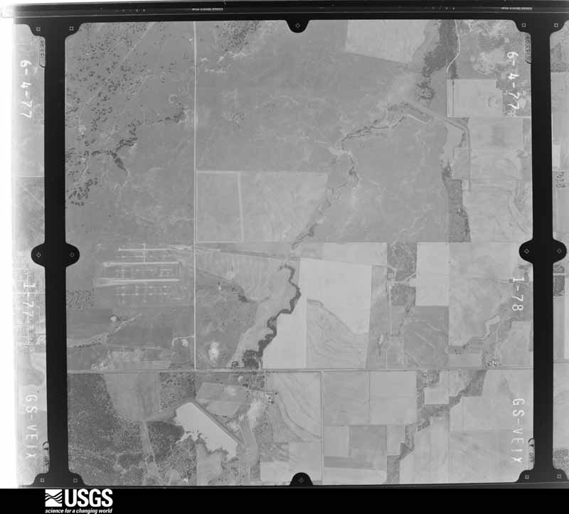
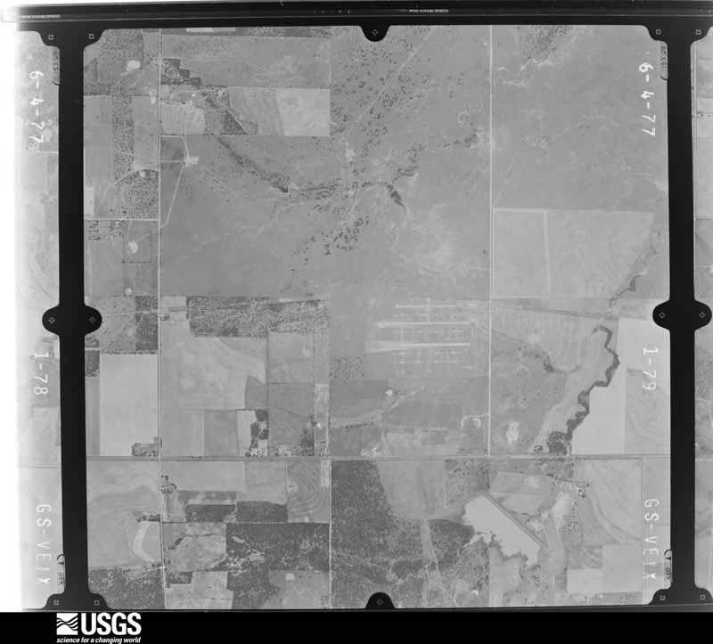
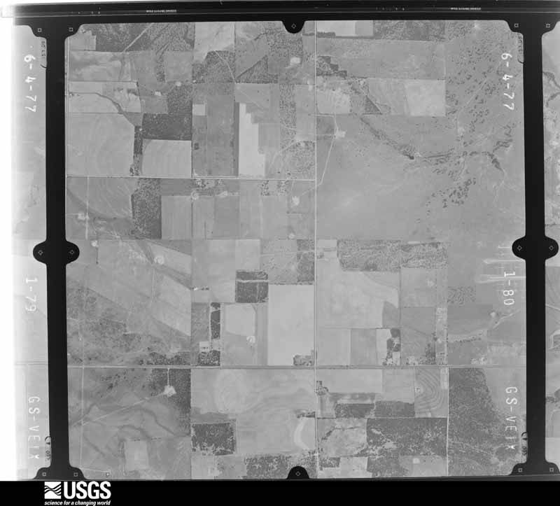
Flown by the U.S. Geological Survey between 1937 and 1989, the Aerial Photo Single Frames collection is the definitive mid-century view of the land: fields, roads and rivers as the camera saw them. The Survey holds 1,215 frames inside the rectangle that bounds this county; the 32 frames below were taken over the county itself, chosen across the decades of flights (at most four a year from that rectangle), so one flight cannot crowd out the rest. The full set is free to browse and download at EarthExplorer under the dataset Aerial Photo Single Frames.
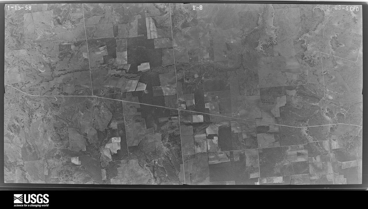
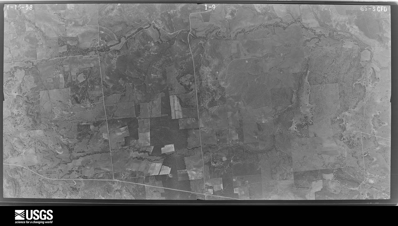
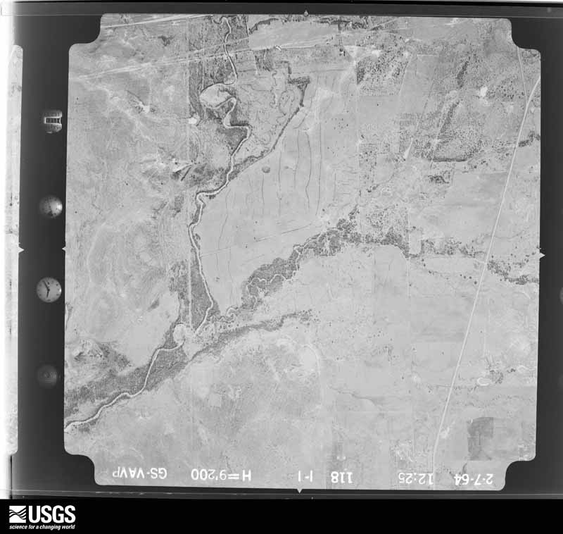
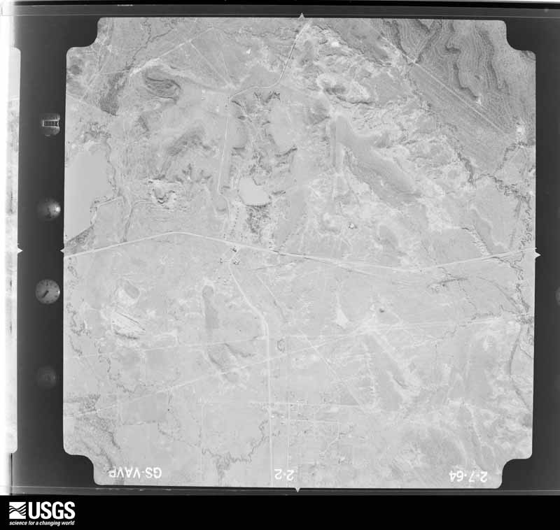
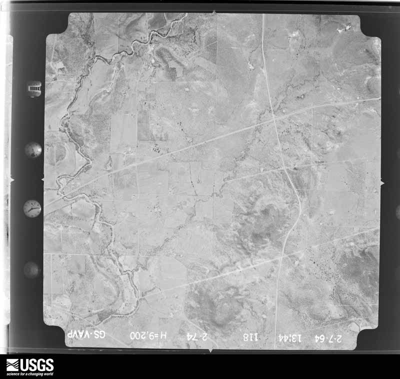
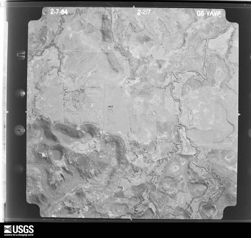
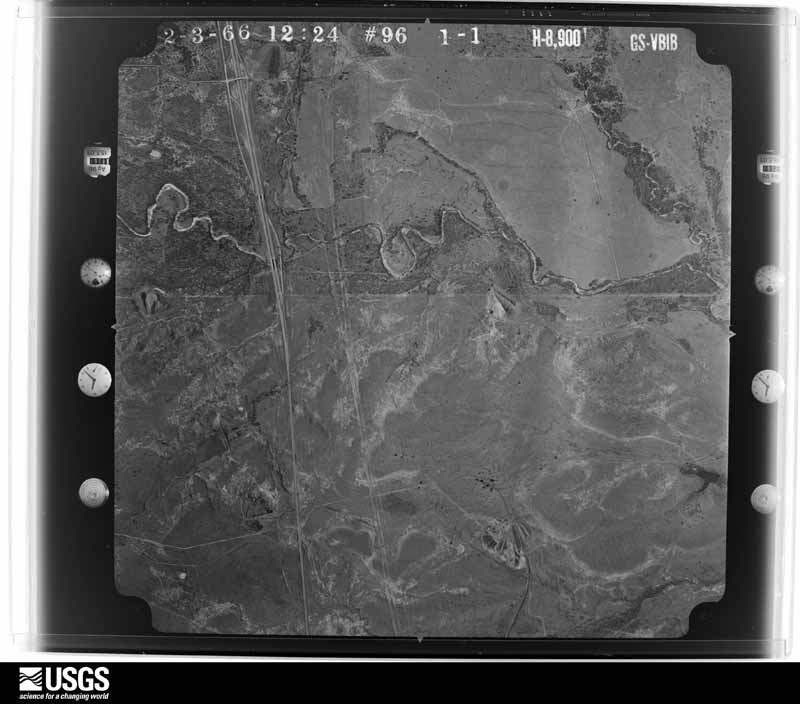
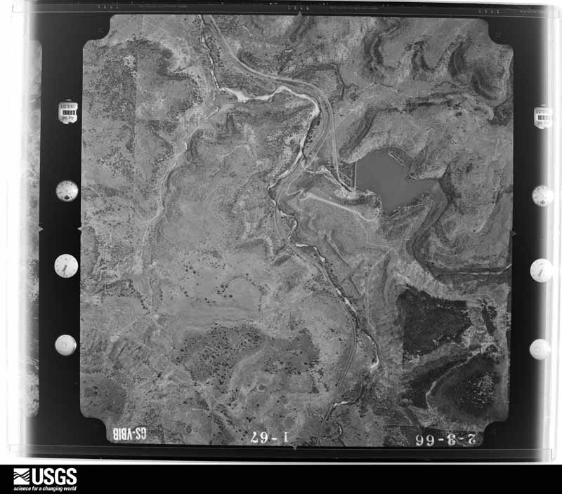








The thermometers that kept this county's weather, and the gages that measured the flow of its streams, as the federal records hold them. The extremes below are measured values from those records, not estimates.
Who lived here in 1950, one enumeration district at a time, as the Census Bureau described each district. Each row opens its official National Archives result, with Population Schedules and ED Maps available there.
Every wildfire the federal occurrence database records inside this county: 1,782 of them, burning about 185,000 acres. 105 started naturally and 76 were recorded as arson. Each settlement page carries the fires within five miles of it.
| Reported cause | Fires |
|---|---|
| Debris and open burning | 702 |
| Equipment and vehicle use | 386 |
| Missing data/not specified/undetermined | 363 |
| Natural | 105 |
| Arson/incendiarism | 76 |
| Power generation/transmission/distribution | 45 |
| Smoking | 41 |
| Misuse of fire by a minor | 21 |
| Railroad operations and maintenance | 21 |
| Recreation and ceremony | 20 |
| Fireworks | 2 |
The five largest, by the area the report gives. None of them was recorded as arson.
| Date | Cause | Size | Reported by | Name on the report |
|---|---|---|---|---|
| 9 April 2011 | Natural | 126,734 acres | Texas A & M Forest Service | PK COMPLEX |
| 30 August 2011 | Power generation/transmission/distribution | 6,555 acres | Texas A & M Forest Service | 101 RANCH FIRE |
| 2 July 2018 | Natural | 4,483 acres | Texas A & M Forest Service | SURPRISE |
| 24 December 2005 | Missing data/not specified/undetermined | 3,200 acres | Texas A & M Forest Service | XO RANCH |
| 10 August 2020 | Equipment and vehicle use | 2,654 acres | Texas A & M Forest Service | PENNINGTON CREEK |
| 14 June 2011 | Missing data/not specified/undetermined | 2,500 acres | Texas A & M Forest Service | DYE RD - PALO PINTO |
| 7 August 2012 | Natural | 1,995 acres | Texas A & M Forest Service | RHODES RANCH II |
| 3 December 2005 | Missing data/not specified/undetermined | 1,865 acres | Texas A & M Forest Service | NORTH TX - 39 |
Every settlement page carries the fires within five miles of it - see the settlement index below.
The NOAA Storm Events Database holds 694 reports for this county, causing 2 deaths, 20 injuries and about $17,481,000 in recorded property damage. Each settlement page carries the reports that name it.
| Kind of event | Reports |
|---|---|
| Hail | 391 |
| Thunderstorm Wind | 188 |
| Flash Flood | 49 |
| Tornado | 48 |
| Flood | 12 |
| Lightning | 6 |
The most serious of them, by death, then injury, then recorded damage. The accounts are quoted exactly as the forecast office filed them.
| When | Event | Place named | Harm | What the report says |
|---|---|---|---|---|
| March 2007 | Flash Flood | Possum Kingdom Lake | 1 killed, $10,000 | Numerous roads closed due to flooding countywide, including Old Christian Road and Highway 254 East near Graford, and FM 2270 near Salesville. Numerous high water rescues were required. A boy who was trying to wakeboard in the flood waters was dragged several blocks and hurt his leg. A man who was believed to be driving on Hell's Gate Drive near Possum Kingdom Lake during the storms was found dead three days later in the lake. |
| June 2015 | Flood | Graford | 1 killed | A 19-year-old male drowned in the Brazos River when the river quickly rose in response to water releases from Possum Kingdom Lake upstream. |
| April 2026 | Tornado (EF3) | Mineral Wells | 5 hurt, $300,000 | The tornado touched down north of Mineral Wells near Sundown Road and FM 1821, producing minor tree and fence damage. The tornado then continued southeast crossing Ellis White Road before moving into the Country Club Estates neighborhood. Multiple trees were uprooted, multiple carports collapsed, and multiple homes were damaged in this neighborhood. The most notable was a home that had its entire roof and truss structure removed and displaced approximately 200 feet, consistent with 120 mph winds. The tornado continued southeast from here into Parker County where it did considerable damage in the same area. |
| May 1998 | Hail | Mineral Wells | 5 hurt | Dozens of people were reported injured by large hail at the Palo Pinto County Livestock Association Rodeo. Palo Pinto County EMTs treated five individuals at the scene, but none of the injured required hospitalization. |
| May 2025 | Tornado (EF1) | Gordon | 4 hurt, $750,000 | An EF-1 tornado formed north of Gordon and moved south-southeast into Gordon. One property near FM 919 and Harlin Road sustained damage to a small building on the property and 2 barns. In the town of Gordon, notable tree damage and power pole damage was observed along with damage to roofs. Most of the roof damage was partial removal of metal panels, leaving some homes with holes in their roofs. The school stadium and nearby athletic fields also suffered significant damage to the locker rooms, weight room, bleachers, scoreboards, and more. One tall stadium light pole was bent in half. In the southeast part of Gordon, a manufactured home was destroyed. In Gordon is where the tornado received its strongest rating of EF-1 with 105 mph winds. The tornado was tracked through tree damage just outside of Gordon to the southeast where it dissipated. Several minor injuries were reported with 4 hospital transports, but all 4 were already released the next morning. |
| October 1979 | Tornado (F1) | not stated | 2 hurt, $250,000 | no account filed |
| April 2008 | Hail | Mineral Wells | 1 hurt, $10,000,000 | Tennis ball-size hail broke windows, damaged vehicles, and downed power and cable lines. The Palo Pinto General Hospital sustained about $400,000 damage to its roof. The Wal-Mart in town had every skylight broken which resulted in water damage. Mineral Wells High School sustained heavy damage to its roof and also to its new outdoor stadium and bleachers. Numerous city vehicles as well as private vehicles and residences received damage from the large hail. Car dealerships reported damage to 8,000 cars in the metroplex. Most of the damage in Palo Pinto County occurred in a west to east swath north of Highway 180. One woman was injured when she was hit in the head with a large hailstone but did not seek medical attention. |
| April 1981 | Tornado (F1) | not stated | 1 hurt, $250,000 | no account filed |
| June 1989 | Thunderstorm Wind | not stated | 1 hurt | no account filed |
| August 1966 | Tornado (F1) | not stated | 1 hurt | no account filed |
| June 2009 | Thunderstorm Wind | Possum Kingdom Lake | $2,000,000 | The Brazos River Authority reported extensive damage at Possum Kingdom Lake. Twenty-three docks broke loose and their walkways fell fully or partially into the water. A total of 41 docks were damaged with one being completely sunk and another turned on its side and partially sunk. At Scenic Point Northview Marina, the walkway, fuel pump dock, and marina office platform were damaged. Two boats were also damaged at the same marina. At Breakers Marina, walkways were separated and three wind breaks were broken off. At Willow Beach Marina, the fuel pump dock broke loose and overturned. Three houses in Hogg Bend had missing roofs and several other structures reported missing shingles. Sam's Storage had roof damage to several units and the Sandy Creek Marina Storage had damage from debris hitting the walls. In addition, several big trees were also down around the lake with some blocking roads. Several lake and road signs were blown down and several swim buoy lines were damaged. A pontoon boat attached to a trailer bed was blown across FM 2951. |
| May 2013 | Hail | Mineral Wells | $400,000 | Trained spotters reported grapefruit sized hail in the city of Mineral Wells. |
| April 2003 | Tornado (F1) | Graford | $250,000 | Brief tornado touchdown reported on the east side of Possum Kingdom Lake. 25 mobile homes were damaged or destroyed at Sky Camp, Lefty's, and P. K. Lodge. No people were injured. |
| August 1980 | Tornado (F2) | not stated | $250,000 | no account filed |
| May 2015 | Tornado (EF1) | Mineral Wells | $230,000 | Amateur radio operators reported the second of two tornadoes, this one skipping through part of the city of Mineral Wells, including the downtown area. The tornado was strongest as it approached from the southwest of town, and the tornado was at its widest during this time. Outside of town, numerous trees, storage buildings, and covered parking areas were damaged. In town, several buildings lost part of their roofs, while trees, carports, and storage buildings were damaged or destroyed. |
| April 2008 | Hail | Mineral Wells | $150,000 | Baseball-size hail broke numerous windows and dented cars. |
| April 2008 | Tornado (EF0) | Oran | $150,000 | A tornado touched down near Oran and uprooted several trees and damaged limbs just west of town. As the tornado moved through town, a few houses lost their roofs. East of Oran power poles were snapped along FM 52 before the tornado dissipated. The tornado was rated an EF-0 with maximum winds near 85-90 MPH. |
| June 2004 | Flash Flood | Mineral Wells | $150,000 | 12 homes were flooded with widespread street flooding. |
| March 2023 | Thunderstorm Wind | Lone Camp | $100,000 | Several outbuildings and barns sustained damage in the Lone Oak area. Some barns lost their metal roofs. |
| March 2023 | Hail | Mineral Wells | $100,000 | Photos of tennis ball sized hail in Mineral Wells. |
| May 2016 | Flood | Santo | $100,000 | Several roads across the southern portions of the county remained closed due to flooding. Areas affected included Mingus, Strawn, Gordon, and other areas along Palo Pinto Creek. The flooding continued into June 1st. |
| June 2002 | Thunderstorm Wind | Mineral Wells | $100,000 | ASOS reported wind gusts to 74 mph. There was widespread damage to homes and businesses, numerous reports of outbuildings destroyed, and numerous trees and power lines blown down. Wal-Mart had to close Sunday to clean up the damage. |
| April 2024 | Hail | Possum Kingdom Lake | $100,000 | no account filed |
| March 2022 | Tornado (EF1) | Possum Kingdom Lake | $75,000 | Using radar imagery in combination with eyewitness accounts (videos and pictures), a confirmed EF1 tornado formed over Possum Kingdom Lake around 3:12 PM CDT. The tornado then tracked onshore near Upper Burma Rd, where trees sustained such damage as snapped trunks and large broken branches. As it crossed the peninsula, roof damage to single family homes and nearby small metal buildings was observed, consistent with 95 mph winds. The tornado then tracked back over the lake before causing more sporadic damage on the northeast shore of Possum Kingdom Lake. The tornado lifted at 3:26 PM CDT just northwest of Stoney End Ln. The maximum estimated winds were 95 mph. |
| February 2001 | Thunderstorm Wind | Mineral Wells | $60,000 | High thunderstorm winds created a damage path 300 feet wide and 1.5 miles long. This occurred at the intersection of Highways 281 and 254. A mobile home was destroyed and several others were damaged. |
| May 2015 | Hail | Mineral Wells | $50,000 | Trained spotters reported golf ball sized hail on the northeast side of Mineral Wells. |
| June 2014 | Lightning | Graford | $50,000 | Lightning struck tank batteries on Ragle Road near Graford, igniting them on fire. Three of four tanks were on fire. |
| June 2007 | Flash Flood | Mineral Wells | $50,000 | Some businesses sustained flood damage on Highway 281 South, in the Circle neighborhood on 2nd Avenue, and along Highway 180. Two high water rescues were required on 2nd Avenue and FM 4. |
| June 2000 | Flash Flood | Mineral Wells | $50,000 | Heavy thunderstorm rains brought flash flooding and knee deep water in the downtown area. Twelve homes were flooded. |
| October 1993 | Thunderstorm Wind | Mineral Wells | $50,000 | A large metal building was destroyed and several businesses were unroofed. Large tree limbs and power lines were blown down by high winds. |
| October 1996 | Hail | Gordon | $50,000 | no account filed |
| April 2016 | Hail | Graford | $40,000 | Trained spotters reported golf ball sized hail approximately 12 miles west of Graford on the west shore of Possum Kingdom Reservior. |
| May 2015 | Hail | Lake Palo Pinto | $40,000 | Trained spotters observed two and one half inch diameter hail east of Lake Palo Pinto. |
| July 2009 | Thunderstorm Wind | (Mwl)Mineral Wells A | $40,000 | A large tree was uprooted and fell onto a garage and a newly purchased truck. The truck and the corner of the garage were crushed. |
| July 2005 | Thunderstorm Wind | Mineral Wells | $40,000 | Several reports of wind damage. Part of a roof was blown off a nursing home, the city gym was damaged, and power lines were blown down. |
| June 2011 | Hail | Graford | $40,000 | no account filed |
| June 2002 | Thunderstorm Wind | Graford | $35,000 | Two roofs were blown off homes near Graford, there was damage to a business, damage to the high school gym, and trees and power lines were blown down. |
| June 1996 | Thunderstorm Wind | Possum Kingdom Lake | $30,000 | no account filed |
| August 2022 | Thunderstorm Wind | Brazos | $25,000 | A social media report indicated that an 18 wheeler was rolled over at a truck stop, and that a nearby fireworks stand was blown over. |
| April 2007 | Thunderstorm Wind | Mineral Wells | $25,000 | Several reports of roof damage and large tree limbs blown down. |
| June 2005 | Thunderstorm Wind | Mineral Wells | $25,000 | Several power poles were blown down and a tree fell onto a house, causing minor structural damage. |
| February 2001 | Thunderstorm Wind | Mineral Wells | $25,000 | Trees and power lines were blown down. A mobile home was destroyed, and a barn was heavily damaged. |
| April 1995 | Thunderstorm Wind | Mineral Wells | $25,000 | Three buildings were partially unroofed by high winds. |
| November 1958 | Tornado (F1) | not stated | $25,000 | no account filed |
| April 2026 | Hail | (Mwl)Mineral Wells A | $20,000 | Amateur radio and the public reported 2-2.5 inch hail two miles southwest of the KMWL ASOS. |
| May 2025 | Thunderstorm Wind | Santo | $20,000 | Very strong inbound winds into a tornadic supercell produced widespread tree damage along FM 2201 and into Santo. A light pole at the athletic field was also bent, and some minor roof damage was also observed in Santo. |
| September 2025 | Thunderstorm Wind | Mingus | $20,000 | The front entrance of a building in Mingus collapsed inward with glass blown out of the front windows. |
| April 2024 | Thunderstorm Wind | Possum Kingdom Lake | $20,000 | Partial roof loss was reported to a residence on Clover Lane and a second residence on Hoot Ave on the northeast side of Possum Kingdom Lake. |
| March 2023 | Hail | Mineral Wells | $20,000 | Damage was reported to a windshield and side mirror of a car. |
| April 2015 | Flash Flood | Santo | $20,000 | Water was reported over several roads in and around Santo; including FM 2201. Flooding was also reported on FM 2692 going towards Gordon. |
| April 2012 | Hail | Santo | $20,000 | Ping pong ball sized hail was reported 5 miles east of Gordon near Interstate 20. |
| May 2011 | Hail | Mineral Wells | $20,000 | Baseball sized hail was reported 1 mile south of Mineral Wells. |
| April 2008 | Hail | Gordon | $20,000 | Golfball to baseball-size hail was reported in town. |
| March 2008 | Flash Flood | Mineral Wells | $20,000 | Portions of South Oak Avenue were barricaded due to flooding. Part of SW 14th Street was washed out due to flood waters. |
| June 2007 | Flood | Graford | $20,000 | Pecan Branch Creek flooded causing water to reach the steps of several nearby homes. The Division Street Bridge was impassable. |
| May 2016 | Flash Flood | Strawn | $15,000 | Highway 108 near Strawn was flooded and some high water rescues were needed in Strawn. |
| June 2014 | Lightning | Graford | $15,000 | Lightning struck a tank battery igniting it on fire off Turpin Road, north of Graford. |
| October 2009 | Flash Flood | Salesville | $15,000 | A car was swept off the road at a low water crossing on Salesville Road that was covered with about 2.5 feet of water. The woman driver was rescued from the middle of the raging creek by a local resident. The road was barricaded after the incident. Local residents reported they had only seen the creek as high one other time. |
| March 2007 | Thunderstorm Wind | Mineral Wells | $15,000 | Damage to a house and a storage building. |
| May 2002 | Thunderstorm Wind | Mineral Wells | $15,000 | A three story home under construction was damaged by high winds. |
The Survey's mineral resources record lists 10 workings inside this county. All of them still produce. Each settlement page carries the workings within five miles of it.
| Commodity | Workings |
|---|---|
| Clay | 5 |
| Stone, Crushed/Broken | 2 |
| Fire Clay (Refractory) | 2 |
| Sand and Gravel, Construction | 1 |
The least common of them first, because a county's hundredth gravel pit says nothing its first ten did not.
| Where | Site | Commodity | Status | Recorded |
|---|---|---|---|---|
| Unnamed Pits | Sand and Gravel, Construction | Producer | Gravel, Sand | |
| Cromer Pit | Fire Clay (Refractory) | Producer | Clay | |
| Mineral Wells Quarry | Fire Clay (Refractory) | Producer | Sedimentary | |
| Palo Pinto Stone Company Operation | Stone, Crushed/Broken | Producer | ||
| Unnamed Pit | Stone, Crushed/Broken | Producer | Sedimentary | |
| Brazos Brick Div of Michigan Brick | Clay | Producer | ||
| Can-Tex Pit | Clay | Producer | ||
| Kelley Pit | Clay | Producer | ||
| Strawn Materials Davidson Pit | Clay | Producer | ||
| Texeramics Tile Plant | Clay | Producer |
Named settlements recorded in the Geographic Names Information System, each with the topographic sheets covering it. Villages, hamlets and abandoned places alike. Each is shown with the nearest named watercourse or landform and the survey quadrangle it falls on.
Strawn-Gordon census division · 76475 · On Brad Branch · Brad quadrangle
16 sheets, 1890 to 1985
Palo Pinto-Santo census division · 76472 · On Buck Creek · Brazos East quadrangle
20 sheets, 1891 to 1985
Strawn-Gordon census division · 76453 · On Barton Creek · Gordon quadrangle
16 sheets, 1891 to 1985
Graford census division · 76449 · Near Jones Hollow · Mineral Wells West quadrangle
19 sheets, 1891 to 1985
Strawn-Gordon census division · 76453 · Near Wilbar Mountain · Gordon quadrangle
16 sheets, 1891 to 1985
Graford census division · 76449 · On Pecan Branch · Graford East quadrangle
19 sheets, 1891 to 1985
Strawn-Gordon census division · 76475 · On Walnut Creek · Strawn East quadrangle
16 sheets, 1891 to 1985
Mineral Wells census division · 76067 · Near West Mountain · Mineral Wells East quadrangle
18 sheets, 1891 to 1985
Strawn-Gordon census division · 76463 · Near Tater Hill · Strawn East quadrangle
16 sheets, 1891 to 1985
Palo Pinto-Santo census division · 76472 · On Big Sunday Creek · Santo quadrangle
21 sheets, 1891 to 1985
Strawn-Gordon census division · 76475 · On Bills Creek · Strawn East quadrangle
16 sheets, 1891 to 1985
Mineral Wells census division · 76067 · Mineral Wells East quadrangle
18 sheets, 1891 to 1985
Mineral Wells census division · 76067 · Mineral Wells East quadrangle
18 sheets, 1891 to 1985