 Block
BlockFrom the record
3 National Register listings published here.
Sources: the National Register database, National Park Service
47 topographic sheets cover 35 settlements here, and 3 properties are on the National Register of Historic Places.
3 National Register listings published here.
Sources: the National Register database, National Park Service
Every property in this county listed on the National Register of Historic Places, with the year it was listed and the federal nomination document.
| Photograph | Property | Type | Listed | Reference |
|---|---|---|---|---|
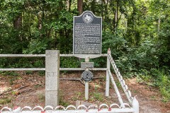 | International Boundary Marker | object | 1977 | 77001463 |
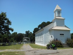 | Methodist Church Concord | building | 1980 | 80004144 |
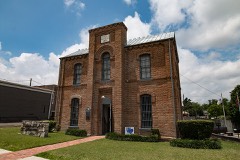 | Panola County Jail | building | 1976 | 76002057 |
Drawn when these were printed as single large sheets: the town seen from the air, and the county divided into its farms with every owner named. Each opens the original at the Library of Congress.

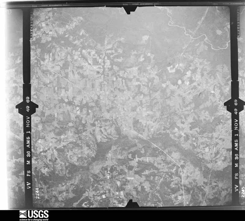
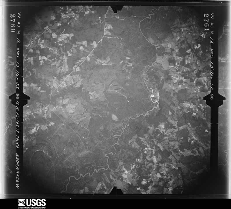
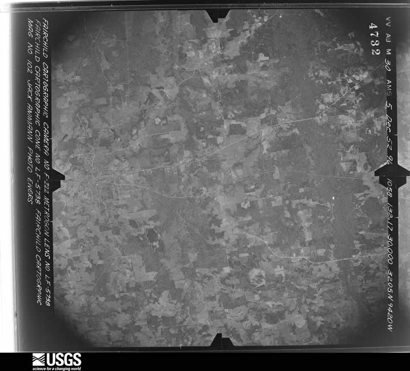
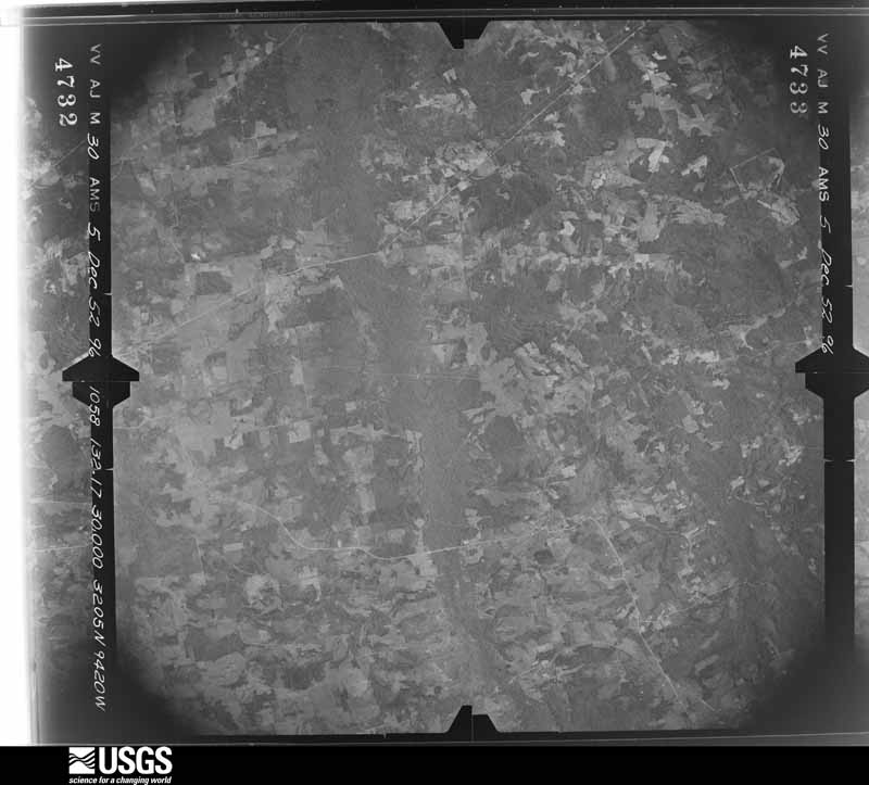
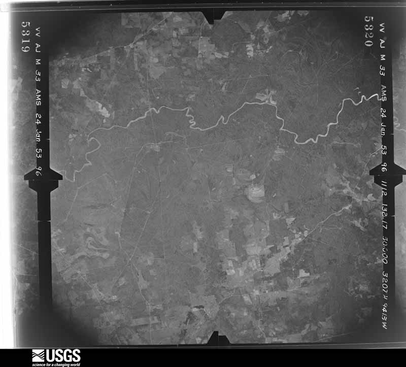
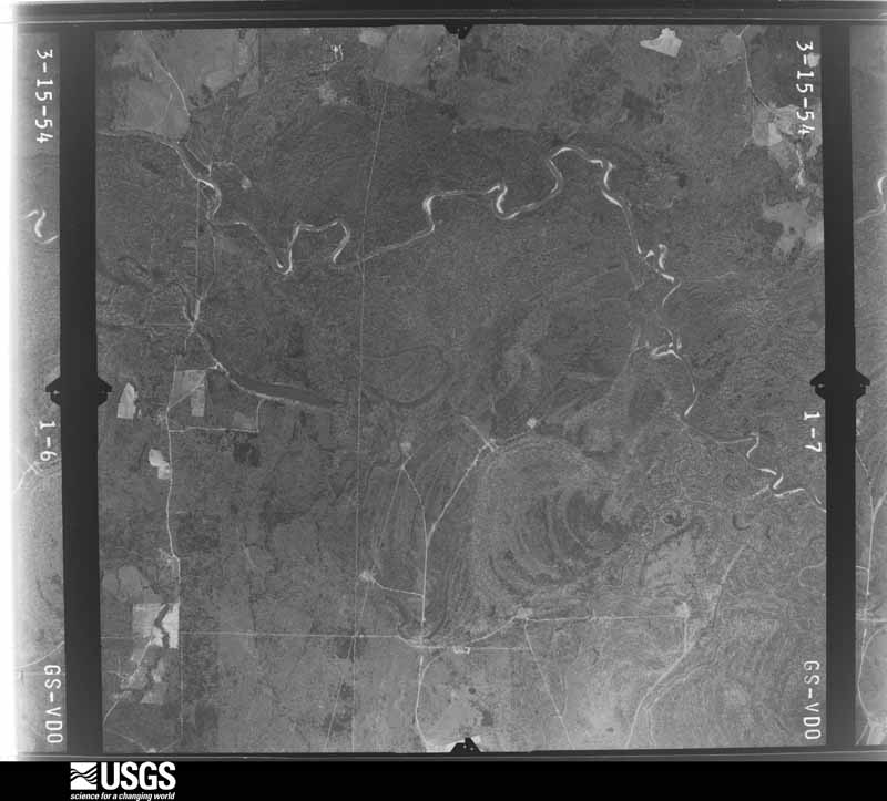
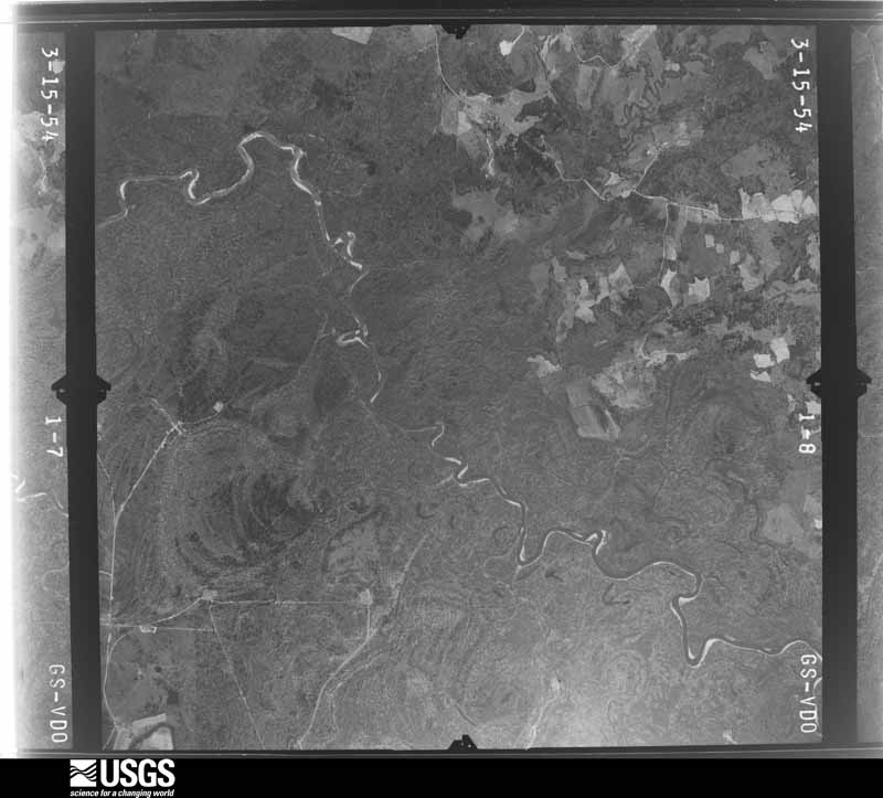
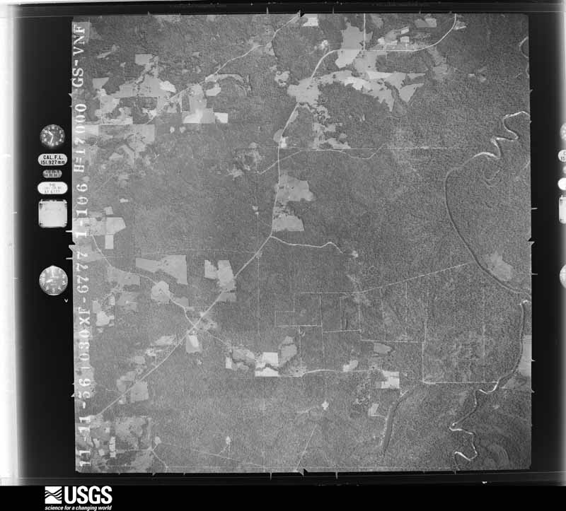
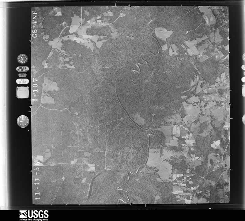
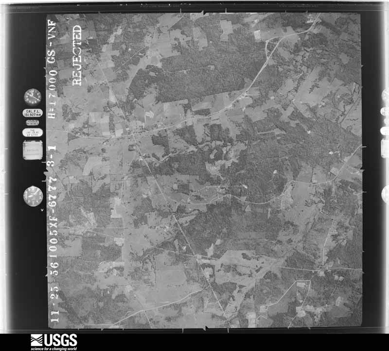
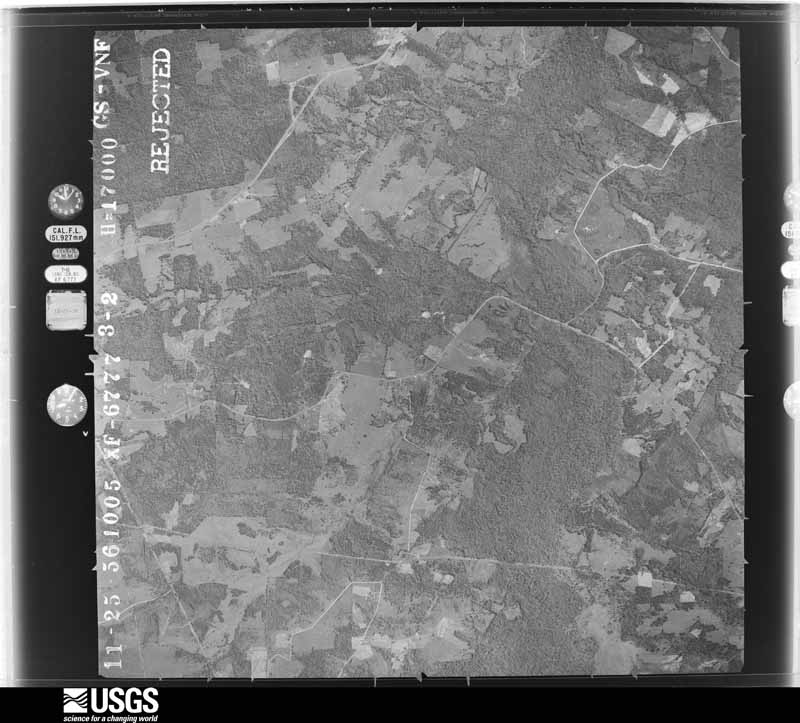
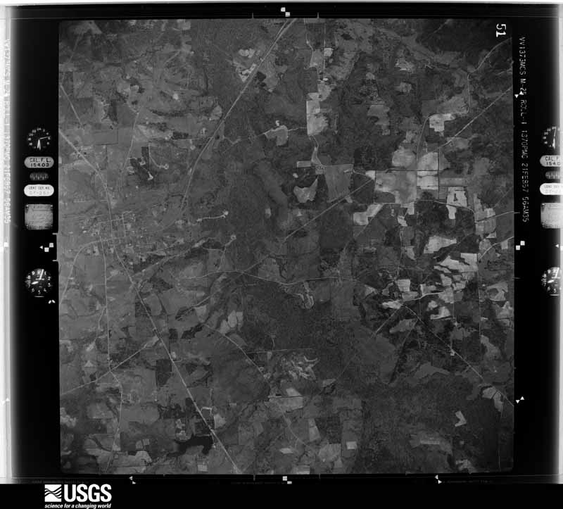
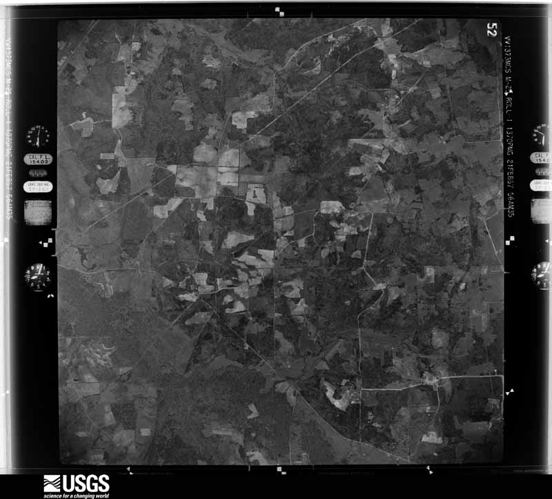
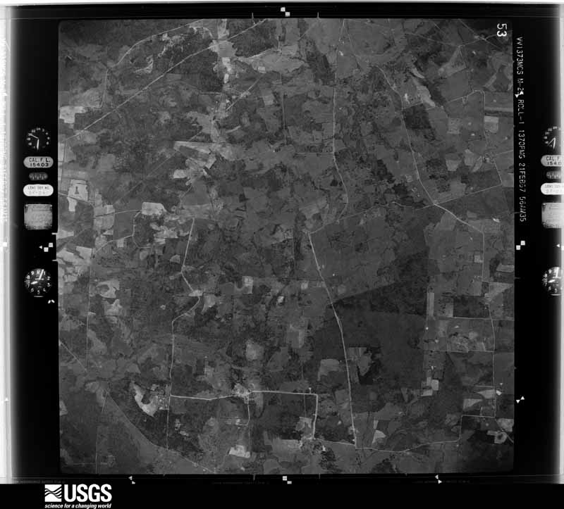
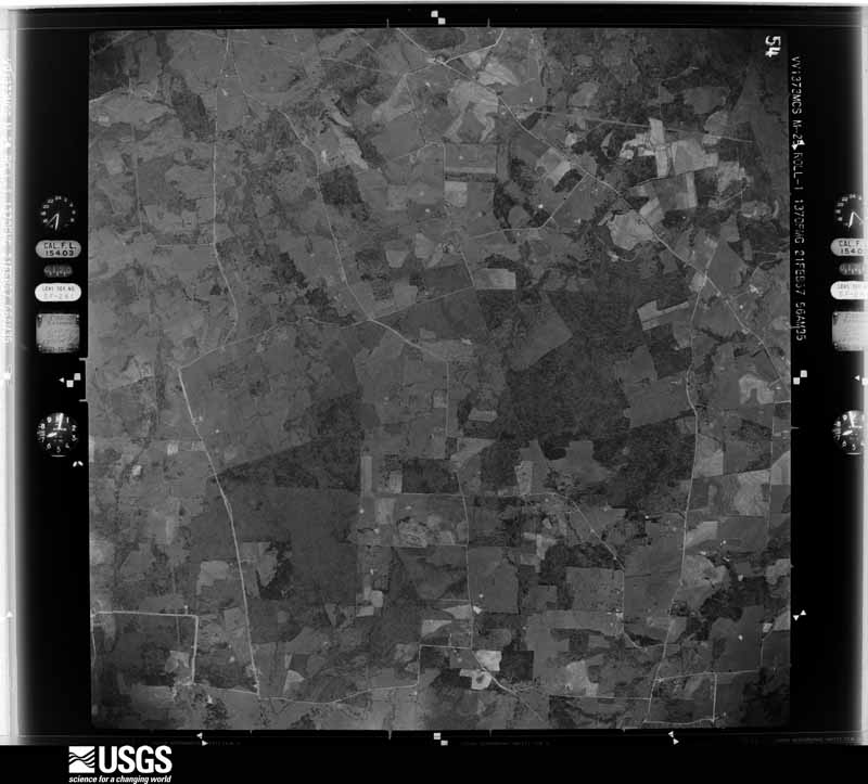
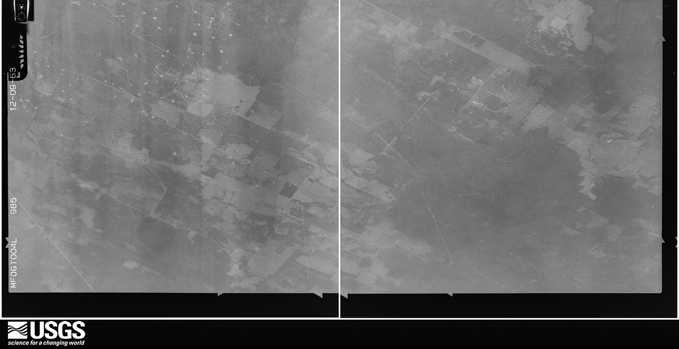
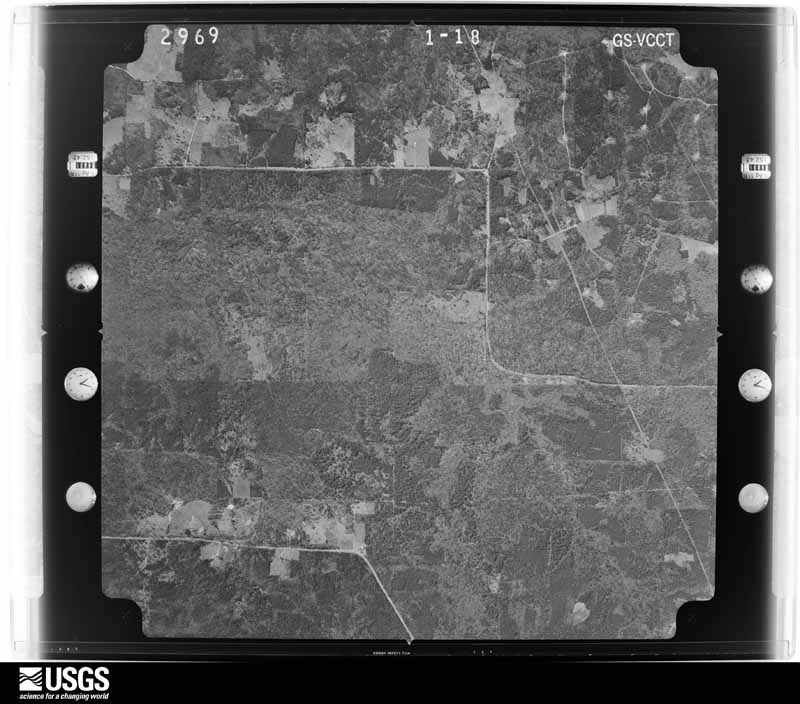
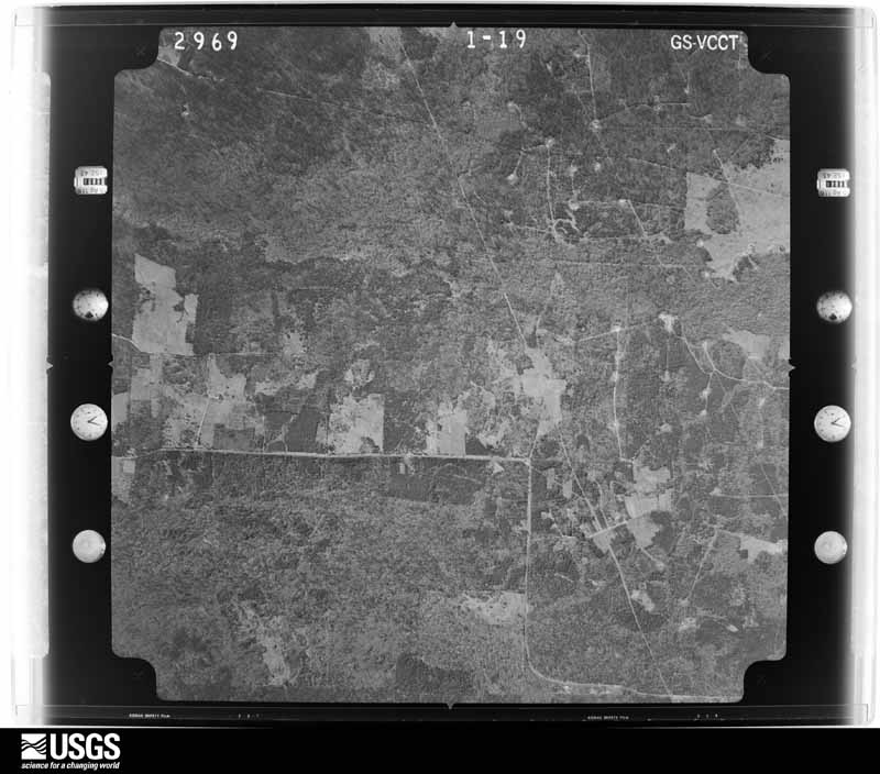
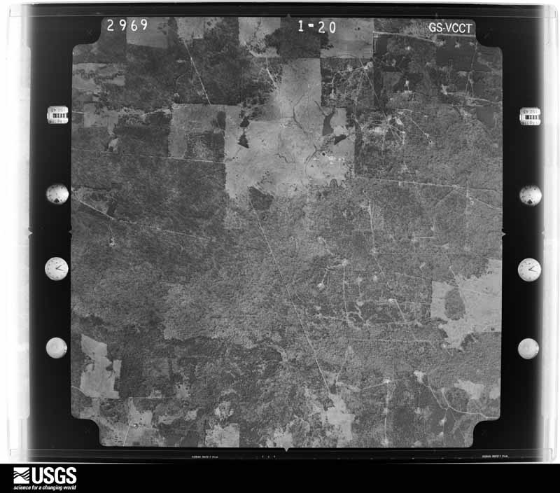
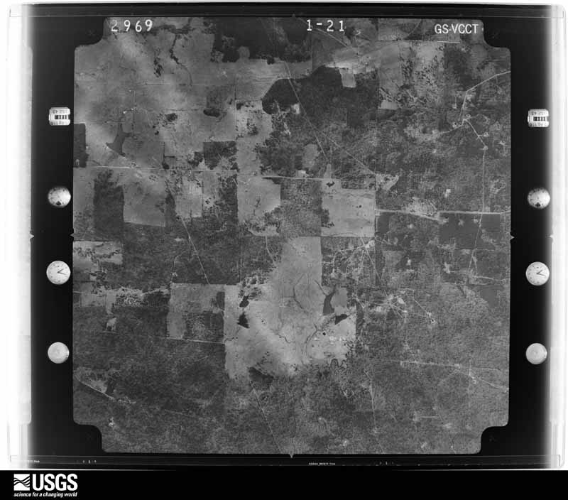
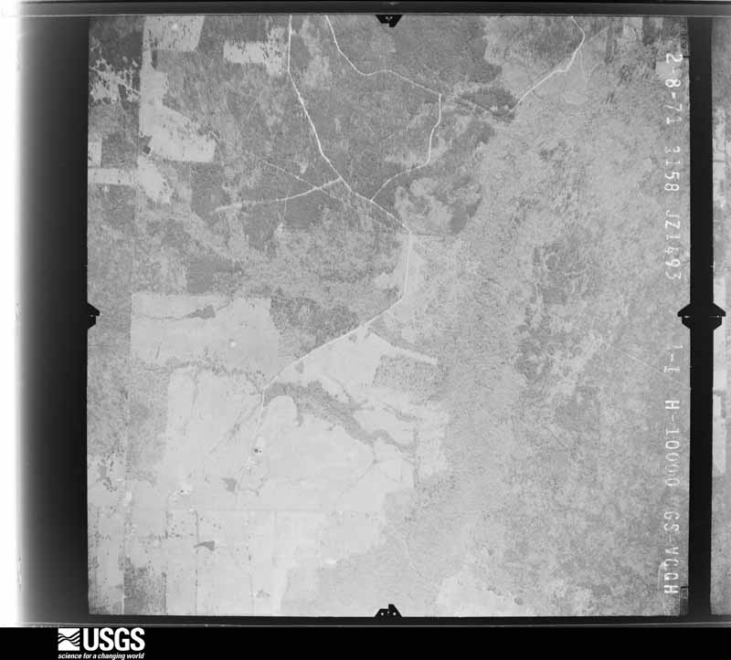
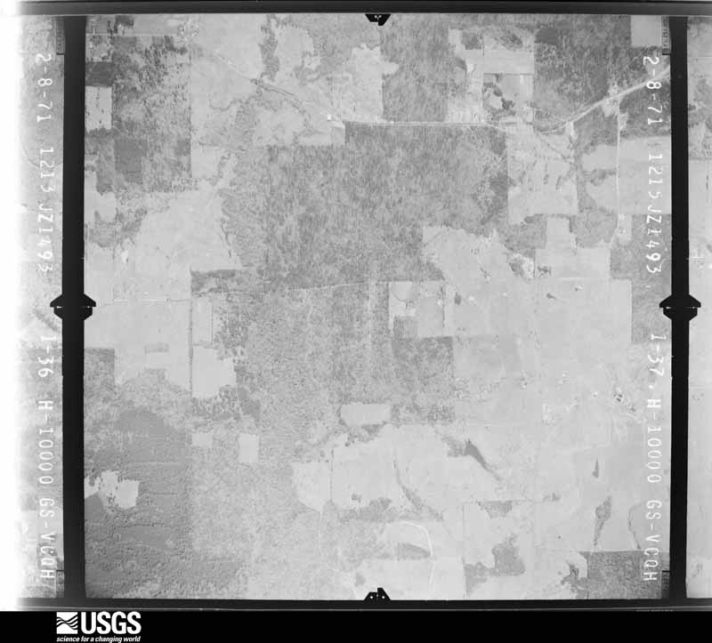
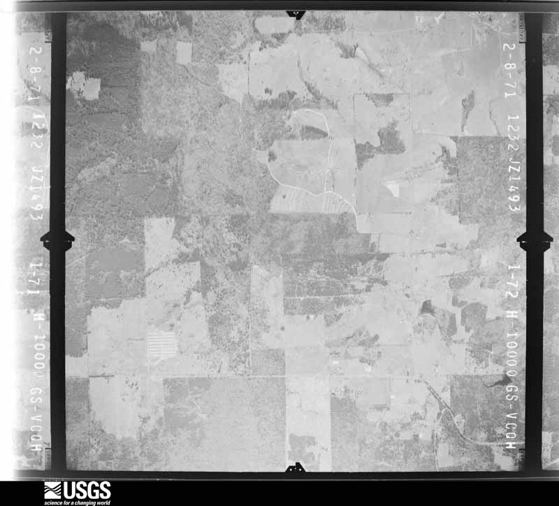
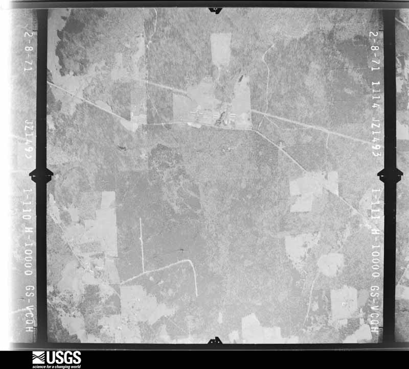
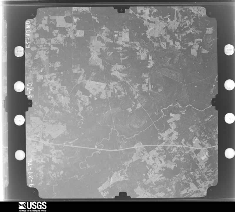
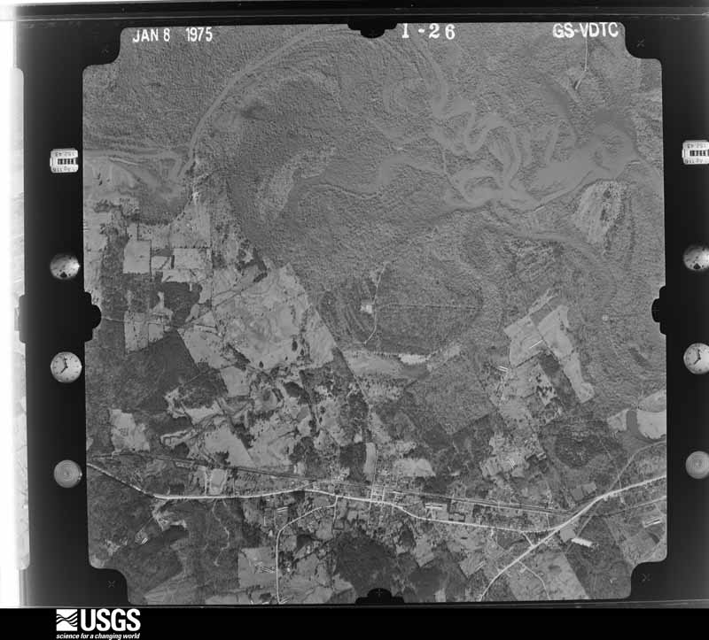
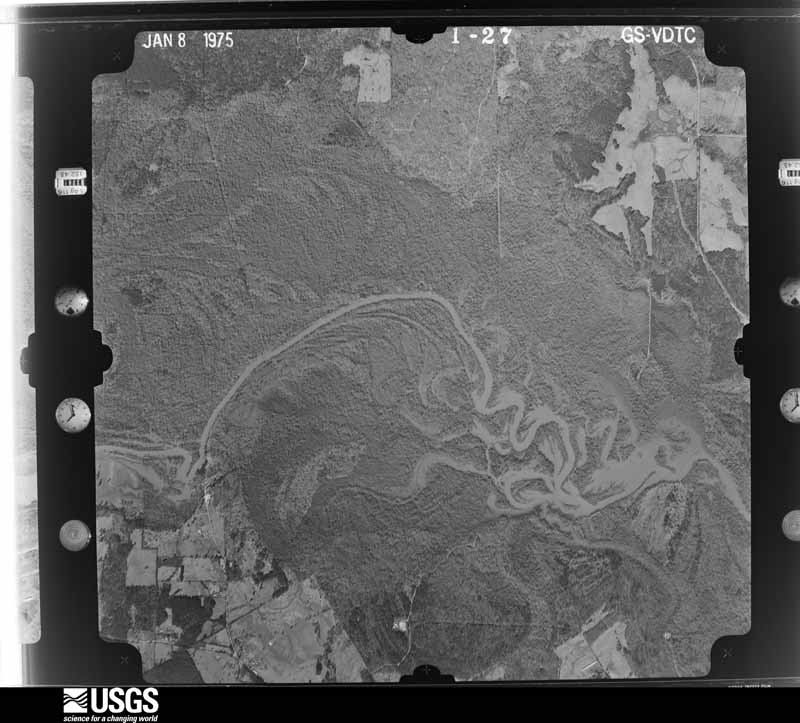
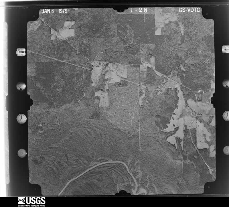
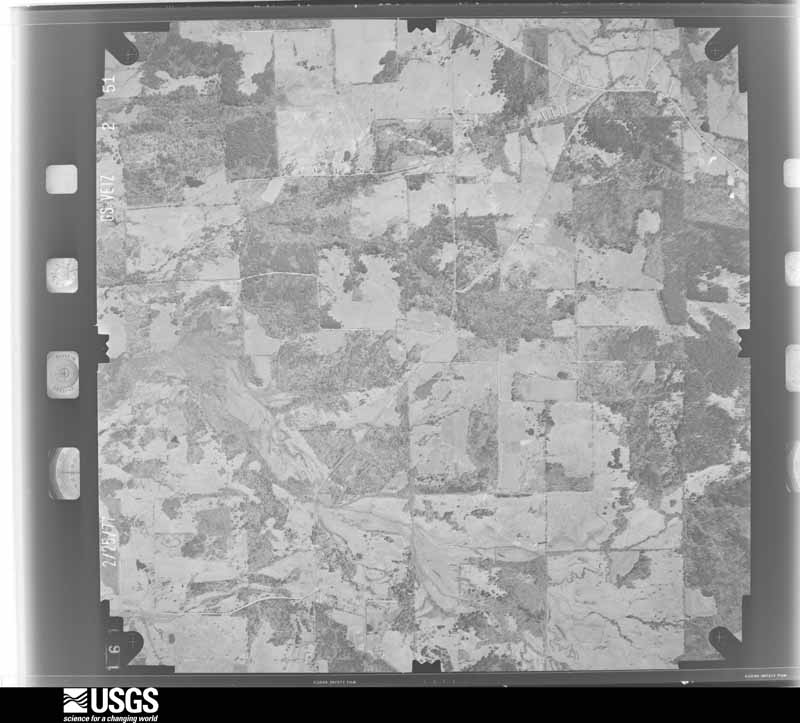
Flown by the U.S. Geological Survey between 1937 and 1989, the Aerial Photo Single Frames collection is the definitive mid-century view of the land: fields, roads and rivers as the camera saw them. The Survey holds 1,211 frames inside the rectangle that bounds this county; the 48 frames below were taken over the county itself, chosen across the decades of flights (at most four a year from that rectangle), so one flight cannot crowd out the rest. The full set is free to browse and download at EarthExplorer under the dataset Aerial Photo Single Frames.
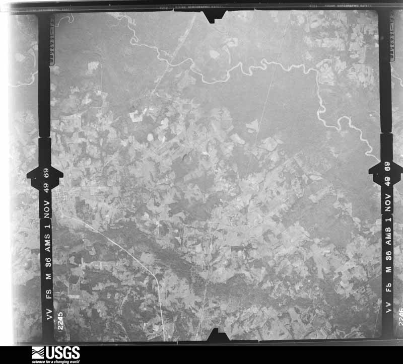
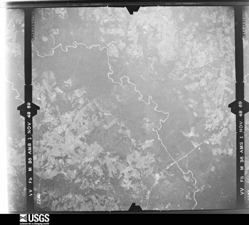
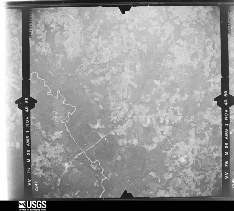
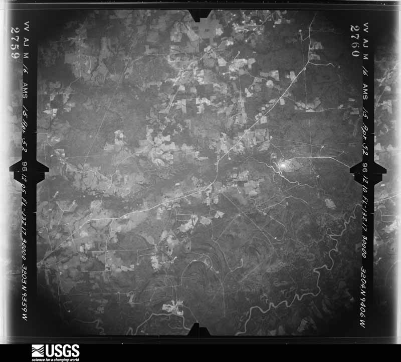
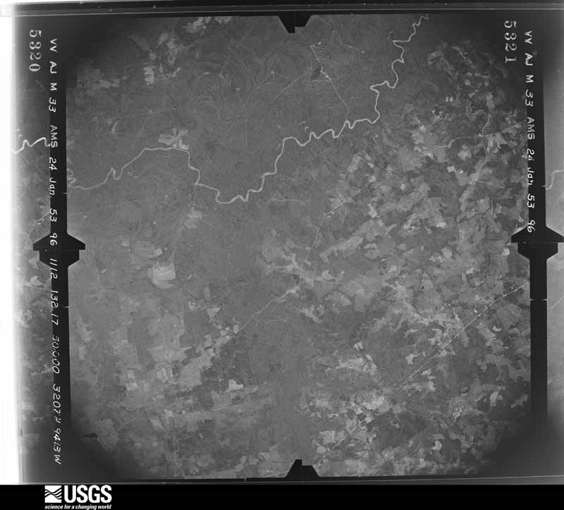
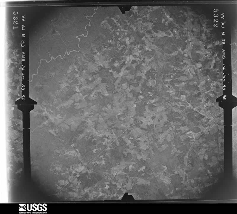
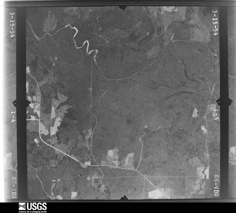
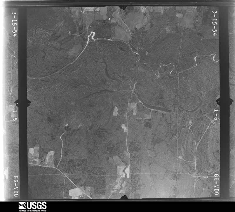



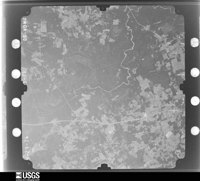
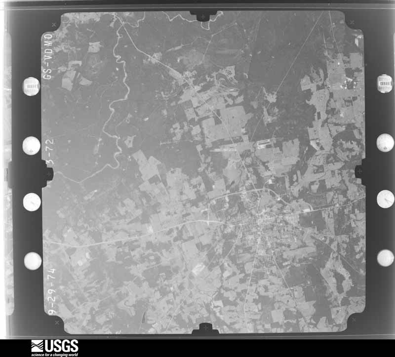
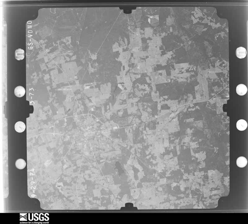
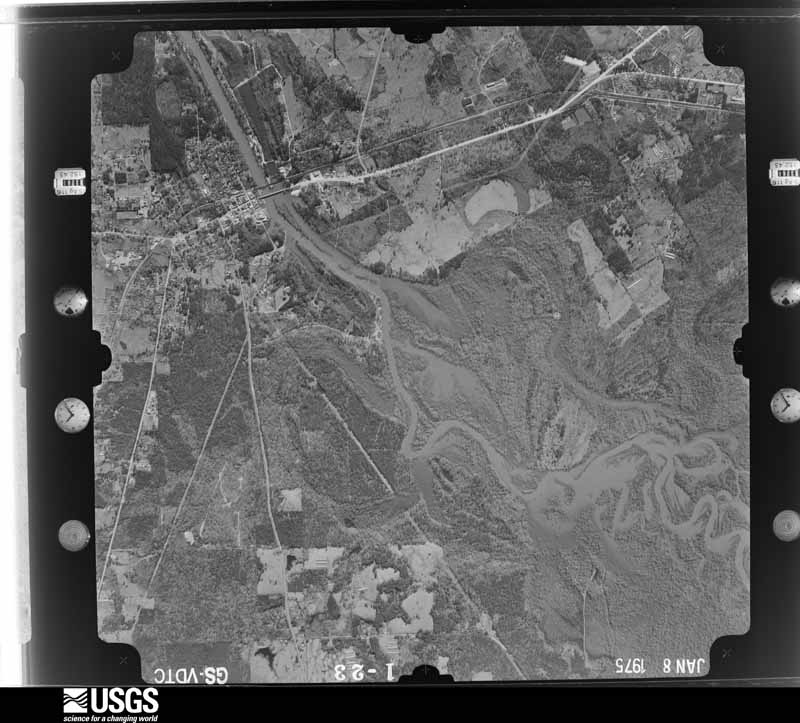

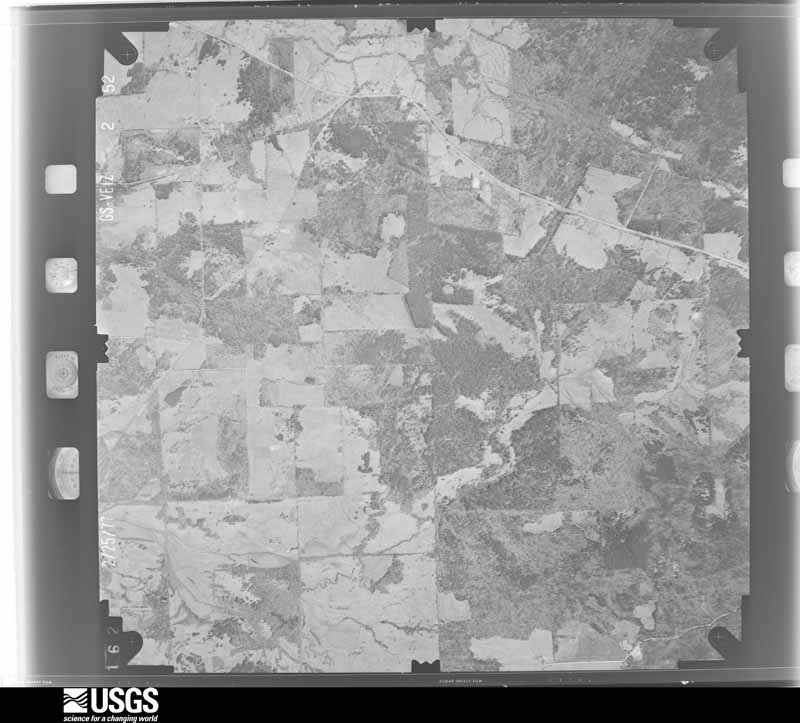
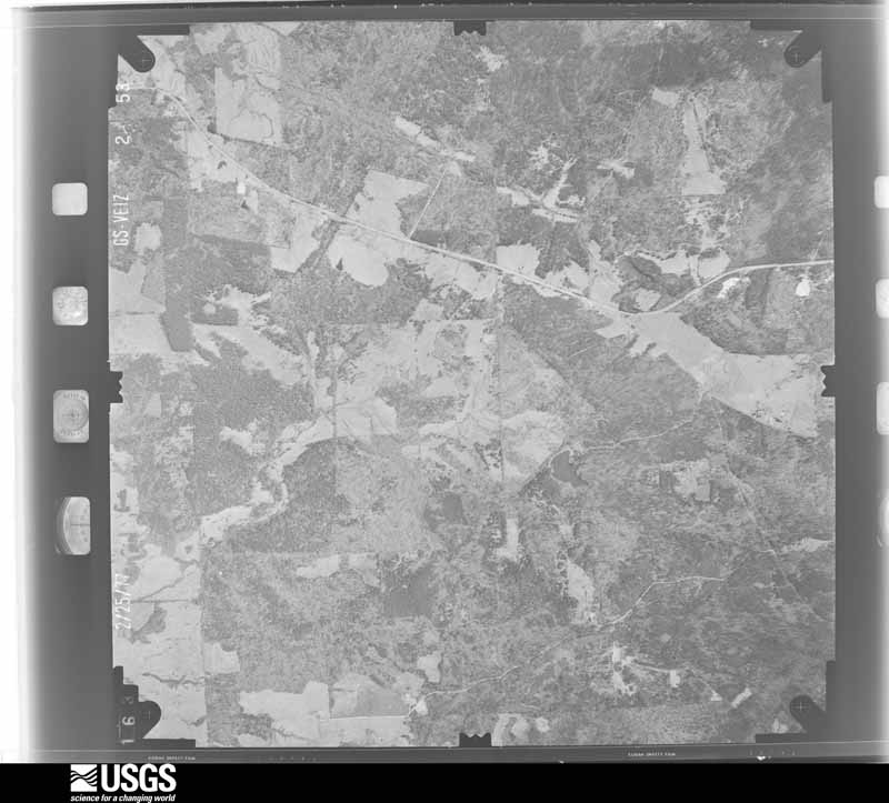
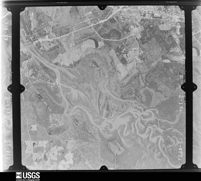
The thermometers that kept this county's weather, and the gages that measured the flow of its streams, as the federal records hold them. The extremes below are measured values from those records, not estimates.
Who lived here in 1950, one enumeration district at a time, as the Census Bureau described each district. Each row opens its official National Archives result, with Population Schedules and ED Maps available there.
Every wildfire the federal occurrence database records inside this county: 1,780 of them, burning about 9,718 acres. 93 started naturally and 43 were recorded as arson. Each settlement page carries the fires within five miles of it.
| Reported cause | Fires |
|---|---|
| Debris and open burning | 942 |
| Missing data/not specified/undetermined | 343 |
| Equipment and vehicle use | 195 |
| Natural | 93 |
| Power generation/transmission/distribution | 66 |
| Arson/incendiarism | 43 |
| Smoking | 36 |
| Misuse of fire by a minor | 26 |
| Recreation and ceremony | 21 |
| Railroad operations and maintenance | 8 |
| Fireworks | 6 |
| Other causes | 1 |
The five largest, by the area the report gives. None of them was recorded as arson.
| Date | Cause | Size | Reported by | Name on the report |
|---|---|---|---|---|
| 6 April 2013 | Missing data/not specified/undetermined | 300 acres | Texas A & M Forest Service | 5075 FM 123 (MCAGE) |
| 11 February 1996 | Debris and open burning | 260 acres | Texas A & M Forest Service | not named |
| 20 March 1996 | Missing data/not specified/undetermined | 205 acres | Texas A & M Forest Service | not named |
| 25 November 1995 | Debris and open burning | 175 acres | Texas A & M Forest Service | not named |
| 10 October 2010 | Equipment and vehicle use | 142 acres | Texas A & M Forest Service | GRAND BLUFF #160 |
| 31 July 1998 | Missing data/not specified/undetermined | 123 acres | Texas A & M Forest Service | not named |
| 4 March 2006 | Debris and open burning | 110 acres | Texas A & M Forest Service | HENDERSON - 200 |
| 24 August 2005 | Debris and open burning | 102 acres | Texas A & M Forest Service | HENDERSON - 185 |
Every settlement page carries the fires within five miles of it - see the settlement index below.
The NOAA Storm Events Database holds 530 reports for this county, causing 1 death, 18 injuries and about $8,226,400 in recorded property damage. Each settlement page carries the reports that name it.
| Kind of event | Reports |
|---|---|
| Thunderstorm Wind | 270 |
| Hail | 170 |
| Tornado | 51 |
| Flash Flood | 35 |
| Lightning | 3 |
| Heavy Rain | 1 |
The most serious of them, by death, then injury, then recorded damage. The accounts are quoted exactly as the forecast office filed them.
| When | Event | Place named | Harm | What the report says |
|---|---|---|---|---|
| March 2021 | Tornado (EF2) | Carthage | 1 killed, 3 hurt, $1,500,000 | An EF2 tornado with estimated maximum winds near 125 mph touched down again from the same supercell thunderstorm that produced the tornado near and over Lake Murvaul in Southwest Panola County, with this tornado downing and uprooting about 10 hardwood and softwood trees along Highway 59 several miles south of Carthage. The tornado intensified as it tracked parallel to FM 2517 and ripped the roof off of a single family home. The tornado's damage path widened considerably as it moved between FM 2517 and County Road 405. Security footage from a local meat processing center in the Antioch community indicates that a multiple-vortex tornado developed as the storm continued and produced a wide swath of snapped trees north and south of FM 2517. ||Along County Road 405, the multiple-vortex tornado continued to completely destroy 3 metal outbuildings and shift another single family home off of its foundation. At this same location, the tornado tossed an antique vehicle 50 yards and wrapped sheet metal around approximately 10 trees. The tornado continued to snap large softwood trees along County Road 407, and as it crossed FM 699, it caused major roof damage to a brick home near the intersection of County Road 407 and County Road 408. A single-wide manufactured home utilizing a pan anchorage system was pulled free from the anchors and destroyed, with some of the debris blown a couple of hundred yards into a field to the east. ||Hundreds of trees were downed in an area along County Road 448. As the tornado crossed FM 31, a large outbuilding was destroyed, but portions of the wooden frame were anchored by bolts to the foundation and remained in place. In this same area, a large pine tree was uprooted and fell onto a single-wide manufactured home, killing a 46 year old woman with her husband suffering a head injury. Another tree fell onto a vehicle nearby and injured two additional people. The tornado continued northeast snapping and uprooting additional trees and it travelled north of FM 2517. It crossed County Road 470, County Road 471, and finally lifted just east of County Road 332. |
| November 1987 | Tornado (F3) | not stated | 5 hurt, $2,500,000 | no account filed |
| March 2005 | Thunderstorm Wind | Beckville | 3 hurt, $700,000 | Thunderstorm winds destroyed 2 homes and damaged several other homes and buildings. There were three injuries...one was in a home when the roof was blown off their house and two others were injured when a tree fell on their vehicle. All were treated at an area hospital and released. |
| March 1953 | Tornado (F2) | not stated | 2 hurt, $25,000 | no account filed |
| September 1961 | Tornado (F2) | not stated | 2 hurt, $2,500 | no account filed |
| March 2022 | Tornado (EF2) | Long Branch | 1 hurt, $550,000 | This is a continuation of the Eastern Rusk County tornado. Although this tornado entered Western Panola County with estimated winds around 90 mph, it strengthened to a strong EF-2 with estimated maximum winds around 130 mph, as it lifted northeast through Western Panola County. It crossed FM 348 and County Roads 881, 188, and 189, snapping and uprooting numerous trees before reaching Highway 79. In this area, several homes were significantly damaged, and one well-built residence lost most of its roof with several walls collapsed. One injury occurred in this home, although the injury was not deemed critical. The damage rating on this structure was a strong EF-2, and near this location, the tornado achieved its maximum width of approximately 500 yards. Near this location, the high level of tree damage and damage to at least one other structure also warranted a rating of EF-2. A home on County Road 293 and a metal building on County Road 237 were also damaged from this tornado, before it lifted along County Road 241 several miles southwest of Beckville. |
| March 2021 | Tornado (EF2) | Dotson | 1 hurt, $100,000 | This is a continuation of the Southern Rusk County tornado. This tornado continued northeast towards Lake Murvaul, where it maintained EF1 intensity while snapping and uprooting numerous trees as it paralleled FM 1971. Upon reaching the lake, the tornado reached several residences along the shoreline where it increased in intensity as it snapped and uprooted more trees and damaged the shingles of many homes. By this time, the tornado had strengthened to an EF2, with estimated maximum winds of 115 mph. One person was injured at their residence on the shore of Lake Murvaul, while video of the tornado was recorded by a storm chaser as it crossed the lake. After downing trees which damaged several structures on the east shore of the lake, it weakened and produced more sporadic damage before lifting north-northwest of Gary City. A review of video, TDEM ground survey data, and Sentinel satellite data indicate that the tornado lifted for approximately 5 miles before it touched down again in Southern Panola County. |
| July 1956 | Tornado (F1) | not stated | 1 hurt, $25,000 | no account filed |
| May 2015 | Tornado (EF1) | Beckville | $600,000 | National Weather Storm Survey Team determined that damage across Panola County was consistent with that of a tornado. An EF1 tornado first touched down near Beckville, Texsa and traveled east northeast before lifting just northeast of De Berry Texas. Numerous trees and powerlines were downed throughout the track of this tornado and some of these trees damaged several homes and outbuildings as well. |
| May 2017 | Tornado (EF1) | Clayton | $500,000 | An EF1 tornado touched down just north of the intersection of CR 152 and CR 153. The tornado uprooted and snapped several trees while it paralleled CR 152 as it moved east southeast towards Clayton. It damaged a few out building and a few home before it did some concentrated tree damage near several homes just north of Highway 315 and CR 1970. A large, metal outbuilding was completely rolled over here. It continued east where it continued to damage homes and numerous trees along CR 112. The tornado crossed Highway 315 between CR 113 and CR 108. The tornado did some concentrated tree damage where it crossed CR 1081, toppling and splitting numerous trees. The tornado continued east where it ripped the roof off a metal building system along CR 108 west of CR 106. The tornado continued east where it did some significant damage to two farm buildings. The strongest winds associated with the tornado were noted here. The tornado damaged the roofs of two homes along CR 108 east of CR 106. The tornado then did some sporadic tree damage before lifting near the intersection of CR 108 and CR 403. |
| May 2008 | Tornado (EF1) | Fairplay | $400,000 | An EF1 tornado with winds of 95 to 105 mph occurred along CR 241 in Panola County and moved southeastward along CR 224 before lifting. Numerous homes were damaged mainly from falling trees. In particular...a manufactured home had its entire roof peeled and strewn into a field east of the home. A cabin 300 yards east of that home had its entire roof lifted off the wooden frame and thrown into the tree line adjacent to the structure. Numerous large trees both hardwood and softwood were snapped and or uprooted along the path which ended 5 miles southeast along CR 224. Several trees were uprooted or snapped onto homes along CR 241 and CR 248. The tornado was 200 yards wide at its widest point and on the ground until 1203 pm. |
| July 2024 | Tornado (EF1) | Lorraine | $300,000 | This is a continuation of the Southwest Caddo Parish tornado. This EF-1 tornado, with estimated maximum winds of 110 mph, continued northwest across State Line Road in the Bethany community, where several homes and other structures were damaged by downed trees. The tornado was at its widest and strongest as it crossed CR 332, where multiple trees were snapped and uprooted, the roof was partially removed off of a barn, and a metal roof was partially lifted off of a home. As the tornado crossed Highway 79, additional large trees were snapped and uprooted, with trees falling and significantly damaging three homes. The tornado continued to snap and uproot additional trees as it moved northwest before crossing into Southeast Harrison County. |
| February 1991 | Tornado (F2) | not stated | $250,000 | no account filed |
| August 2011 | Thunderstorm Wind | Carthage | $100,000 | A metal roof was blown off a building in the Carthage Downtown Square. A window was also blown out of a downtown building. A tree was downed on a home on North Street and Mary Street. Numerous other trees were downed throughout town. |
| July 2024 | Tornado (EF1) | Tatum | $85,000 | An EF-1 tornado with estimated maximum winds near 110 mph touched down about 4 miles northeast of Tatum in Northwest Panola County, about one-half mile southeast of Highway 43 along FM 959, where several large limbs were snapped. This initial tornado touchdown was confirmed by video from homeowners along FM 959, with the tornado tracking northwest before crossing Highway 43. Numerous trees were snapped and uprooted, with several homes had portions of their siding and metal roofing peeled off. The tornado moved over open pastureland, snapping a few more trees before crossing over into extreme Northeast Rusk County. |
| June 2023 | Tornado (EF1) | Adams Store | $50,000 | A strong line of thunderstorms moved through East Texas and Northwest Louisiana during the early morning hours on June 16th. As it moved through East Texas and into the Shreveport metro area, the storm begin to take on a bow shape, indicating that the system would likely produce strong straight line winds. As the storm reached near the Texas/Louisiana state line from Panola County into southwest Caddo Parish, it produced a brief EF-1 tornado with maximum wind gusts of 110 mph, a path width of nearly 850 yards, and path length of nearly two miles in far eastern Panola County. ||With a storm already producing widespread straight-line wind damage, it became difficult to determine what was tornadic and what was straight-line winds. It was determined that the tornado touched down to the west of County Road 322 in Panola County where a large tree fell onto a single family home. The tornado then moved to the southeast across the Texas/Louisiana state line into extreme Southwest Caddo Parish. |
| May 2012 | Thunderstorm Wind | Carthage | $50,000 | Thunderstorm wind gusts downed trees in Carthage. One of these trees fell across a mobile home. There were no report of injuries. |
| May 1993 | Thunderstorm Wind | Wilkerson | $50,000 | Several homes damaged by thunderstorm winds. |
| May 1993 | Thunderstorm Wind | Sugar Hill | $50,000 | A roof was blown off a mobile home and a car was damaged by thunderstorm winds. |
| February 1993 | Hail | Panola | $50,000 | Hail damaged some cars. |
| January 2020 | Tornado (EF1) | Tatum | $30,000 | An EF-1 tornado with estimated maximum winds near 110 mph touched down on a hillside just southwest of Farm to Market Road 959 just northeast of Tatum. The damage was limited to trees, as a majority of the few hundred pine trees in a confined area had their trunks snapped. The tornado tracked northeast off the hill doing only sporadic tree damage before crossing Farm to Market Road 959, resulting in roof damage to several residences and outbuildings. The tornado lifted shortly thereafter prior to crossing the Sabine River bordering Southern Harrison County. |
| June 2011 | Lightning | Gary | $30,000 | Lightning struck a home in Gary resulting in a fire. |
| April 1999 | Tornado (F1) | Carthage | $30,000 | North to south oriented multi-cellular squall line moving east at 40 mph across the county. Minor damage to homes with trees and powerlines snapped. |
| December 2022 | Tornado (EF2) | De Berry | $25,000 | An EF-2 tornado with estimated maximum winds around 115 mph touched down in a forested area in Northern Panola County just west of County Road 3123, where approximately a couple hundred softwood trees were snapped and uprooted across an area around 460 yards wide. The tornado damage swath narrowed as it damaged a roof of a single family home off of County Road 312 and County Road 3123. The tornado continued to snap and uproot trees as it tracked across FM 31 and into Southern Harrison County near the Elysian Fields community. |
| June 1989 | Tornado (F3) | not stated | $25,000 | no account filed |
| February 1965 | Tornado (F2) | not stated | $25,000 | no account filed |
| March 2006 | Thunderstorm Wind | Gary | $20,000 | Roof blown off a home in Gary City. |
| February 1998 | Thunderstorm Wind | Gary | $20,000 | Skywarn Spotter reported several chicken houses were damaged or destroyed. |
| January 1999 | Tornado (F1) | De Berry | $12,000 | The damage path was in a mostly wooded region with little population. Only one (1) home was damaged from a pine tree that fell on it. Remainder of damage consisted of numerous snapped and fallen trees. |
| May 2019 | Tornado (EF1) | Panola Pedros Arpt | $10,000 | An EF-1 tornado with maximum estimated winds near 100 mph touched down along Highway 79 in Bethany, Texas in the far northeast section of Panola County, where it snapped and uprooted several trees and removed the roofing of a service station along Highway 79 before crossing over into Caddo Parish in Northwest Louisiana. The estimated winds of the tornado shortly after it touched down in Panola County was near 90 mph before the winds increased as it moved into the Louisiana side of Bethany in Caddo Parish. |
| February 2009 | Thunderstorm Wind | Beckville | $10,000 | A large section of a tin roof was blown off a rodeo arena on County Road 263 in the community of Rock Hill, Texas. |
| August 2003 | Thunderstorm Wind | Delray | $10,000 | Several large trees down including one tree that fell across a home causing considerable roof damage. |
| January 1999 | Flash Flood | De Berry | $10,000 | Heavy rain led to the closure of CR 336. Two cars were washed off the road by no injuries occurred. |
| September 2023 | Lightning | De Berry | $5,000 | Lightning struck a tree near De Berry and ignited a fire nearby. Hail was also observed, but a size was not reported. |
| October 2019 | Tornado (EF0) | Fairplay | $5,000 | An EF-0 tornado with estimated maximum winds near 85 mph touched down along the south side of Highway 79 just west of County Road 280 in Western Panola County, where it snapped some large branches out of trees and uprooted a few more. Then, the tornado traveled east-northeast along the north side of Highway 79 where it uprooted and snapped a few trees and damaged a roof to a residential home. It continued on to the east-northeast where it snapped more branches out of a few more trees before lifting near the intersection of County Road 1251 and County Road 124 in the Fair Play community. |
| January 2005 | Thunderstorm Wind | Carthage | $5,000 | Roof damage to a house on County Rd. 184 |
| March 2001 | Tornado (F1) | Tatum | $5,000 | This tornado continued from Rusk County, Texas. A tornado developed on the southern most cell of a squall line as it moved eastward across the county. Two homes lost numerous shingle patches. Numerous snapped, broken or felled trees. |
| March 1999 | Lightning | Deadwood | $5,000 | Lightning struck a house causing a minor fire. |
| May 1994 | Thunderstorm Wind | Beckville | $5,000 | Two boats were damaged by thunderstorm winds and several trees were blown down. |
| May 1994 | Thunderstorm Wind | DeBerry | $5,000 | Numerous trees were blown down by thunderstorm winds on Highway 9. |
| May 1994 | Thunderstorm Wind | Deadwood | $5,000 | Trees were blown down onto Highway 9 by thunderstorm winds. |
| June 1994 | Thunderstorm Wind | Deadwood | $5,000 | Several trees were blown down by thunderstorm winds. |
| October 1994 | Thunderstorm Wind | Carthage | $5,000 | Trees and power lines were blown down by high winds. |
| November 1994 | Thunderstorm Wind | Lake Murvaul | $5,000 | Numerous trees were blown down along Lake Murvaul to west-southwest of Carthage. |
| November 1994 | Thunderstorm Wind | DeBerry | $5,000 | Trees were blown down by high winds. |
| April 1994 | Thunderstorm Wind | Grand Bluff | $5,000 | A poultry barn was damaged by thunderstorm winds. |
| January 1994 | Thunderstorm Wind | Deadwood | $5,000 | Numerous trees were blown down on a 200 acre plot along the Sabine River. Several trees were uprooted or broken off, blocking the road. |
| March 1994 | Thunderstorm Wind | Midyett | $5,000 | Trees were blown down by thunderstorm winds. |
| August 1993 | Thunderstorm Wind | Carthage | $5,000 | Trees were blown down by thunderstorm winds. |
| January 1994 | Hail | Carthage | $500 | Hail broke the winshields from two cars. |
| April 1994 | Thunderstorm Wind | DeBerry | $500 | Numerous trees were blown down by high winds. |
| January 1993 | Thunderstorm Wind | Murval Lake | $500 | Trees were downed on Highway 333. |
| April 1957 | Tornado (F1) | not stated | $250 | no account filed |
| April 1984 | Tornado (F0) | not stated | $30 | no account filed |
| April 1984 | Tornado (F0) | not stated | $30 | no account filed |
| April 1984 | Tornado (F0) | not stated | $30 | no account filed |
| April 1982 | Tornado (F1) | not stated | $30 | no account filed |
| July 1977 | Tornado | not stated | $30 | no account filed |
| April 2026 | Thunderstorm Wind | Woods | - | Tree downed on FM Road 699 near the Antioch community southeast of Carthage. |
| January 2025 | Thunderstorm Wind | Carthage Co Arpt | - | Tree downed on County Road 3022 near Carthage. |
The Survey's mineral resources record lists 1 working inside this county. It is closed or unrecorded. Each settlement page carries the workings within five miles of it.
| Commodity | Workings |
|---|---|
| Silica | 1 |
The least common of them first, because a county's hundredth gravel pit says nothing its first ten did not.
| Where | Site | Commodity | Status | Recorded |
|---|---|---|---|---|
| Unknown | Silica | Past Producer |
Named settlements recorded in the Geographic Names Information System, each with the topographic sheets covering it. Villages, hamlets and abandoned places alike. Each is shown with the nearest named watercourse or landform and the survey quadrangle it falls on.
Gary City census division · 75633 · Near Sixmile Hill · Gary quadrangle
13 sheets, 1956 to 1986
Beckville census division · 75631 · Near The Sand Hills · Beckville quadrangle
14 sheets, 1956 to 1986
Long Branch-Dotson census division · 75633 · On Jones Branch · Lake Murvaul quadrangle
13 sheets, 1956 to 1986
De Berry-Deadwood census division · 75639 · Old Panola quadrangle
17 sheets, 1945 to 1986
Long Branch-Dotson census division · 75633 · Lake Murvaul quadrangle
13 sheets, 1956 to 1986
Gary City census division · 75643 · On Stephenson Creek · Lake Murvaul quadrangle
13 sheets, 1956 to 1986
De Berry-Deadwood census division · 75633 · On Taylor Creek · River Hill quadrangle
17 sheets, 1945 to 1986
Carthage census division · 75633 · On Davis Branch · Beckville quadrangle
14 sheets, 1956 to 1986
Long Branch-Dotson census division · 75669 · On Murphy Creek · Long Branch quadrangle
12 sheets, 1956 to 1986
Beckville census division · 75633 · On Waldrop Branch · Fair Play quadrangle
12 sheets, 1956 to 1986
Beckville census division · 75631 · On Dillard Creek · Grand Bluff quadrangle
13 sheets, 1956 to 1986
Carthage census division · 75633 · On Roberts Creek · Carthage quadrangle
13 sheets, 1956 to 1986
Long Branch-Dotson census division · 75669 · Long Branch quadrangle
12 sheets, 1956 to 1986
Gary City census division · 75974 · On Brushy Creek · Old Center quadrangle
17 sheets, 1945 to 1986
Gary City census division · 75974 · On Brushy Creek · Old Center quadrangle
17 sheets, 1945 to 1986
Gary City census division · 75633 · On Coleman Branch · Gary quadrangle
13 sheets, 1956 to 1986
De Berry-Deadwood census division · 75639 · On Jackson Creek · River Hill quadrangle
17 sheets, 1945 to 1986
Gary City census division · 75643 · On Moore Branch · Gary quadrangle
13 sheets, 1956 to 1986
Carthage census division · 75633 · On Cox Branch · Carthage quadrangle
13 sheets, 1956 to 1986