 Block
BlockFrom the record
1 National Register listing published here.
Sources: the National Register database, National Park Service
17 topographic sheets cover 8 settlements here, and 1 property is on the National Register of Historic Places.
1 National Register listing published here.
Sources: the National Register database, National Park Service
Every property in this county listed on the National Register of Historic Places, with the year it was listed and the federal nomination document.
| Photograph | Property | Type | Listed | Reference |
|---|---|---|---|---|
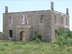 | Old Reagan County Courthouse | building | 1978 | 78002976 |
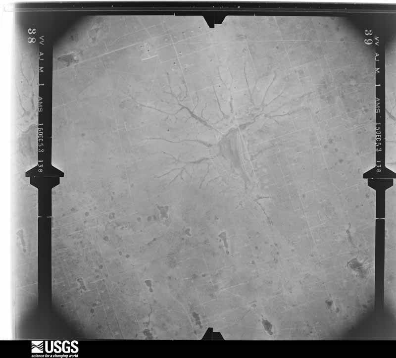
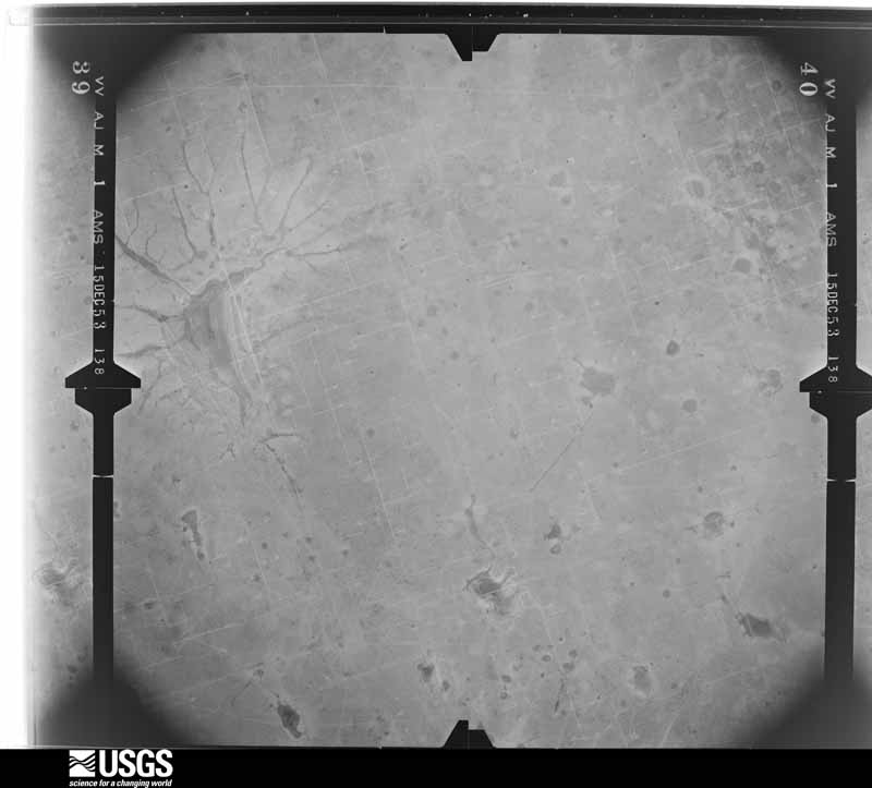
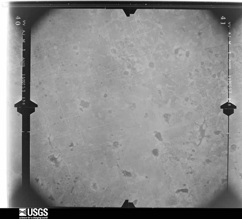
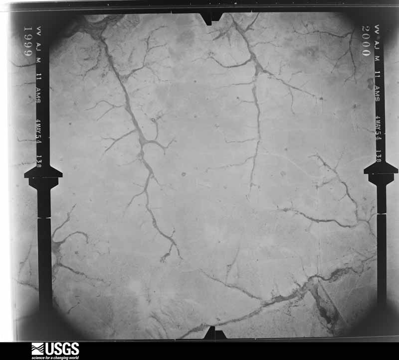
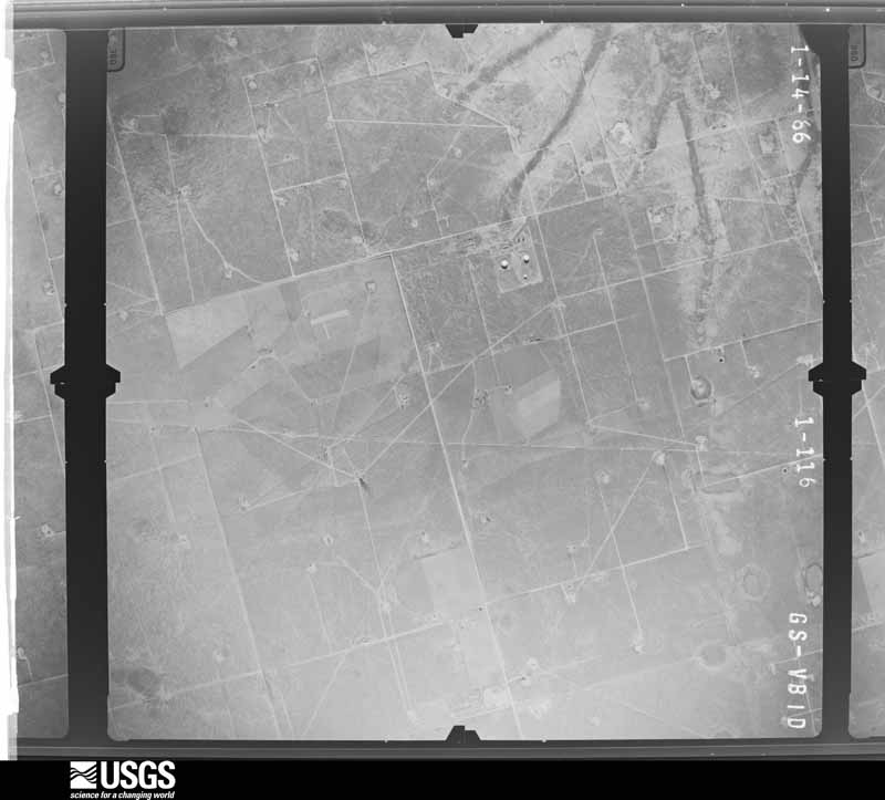
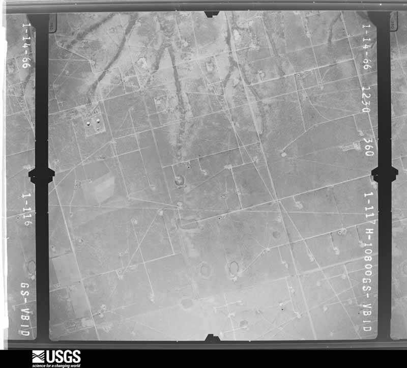
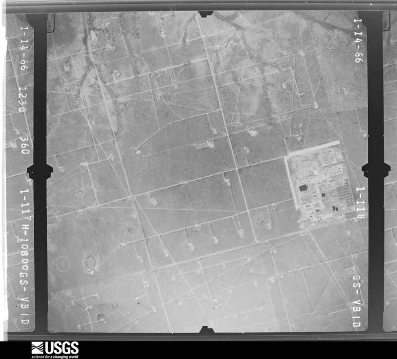
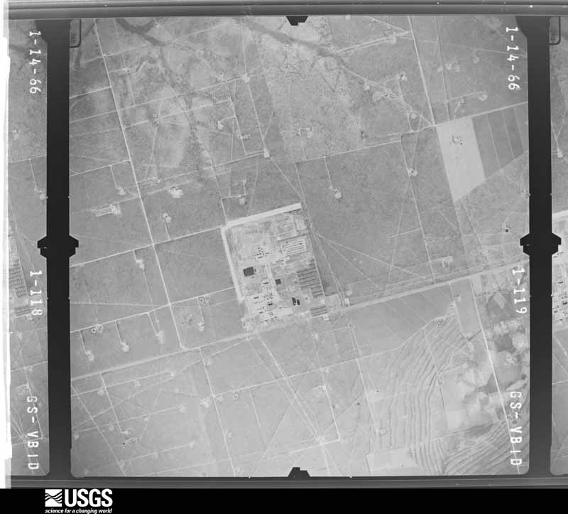
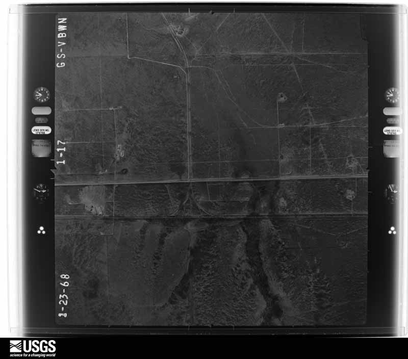
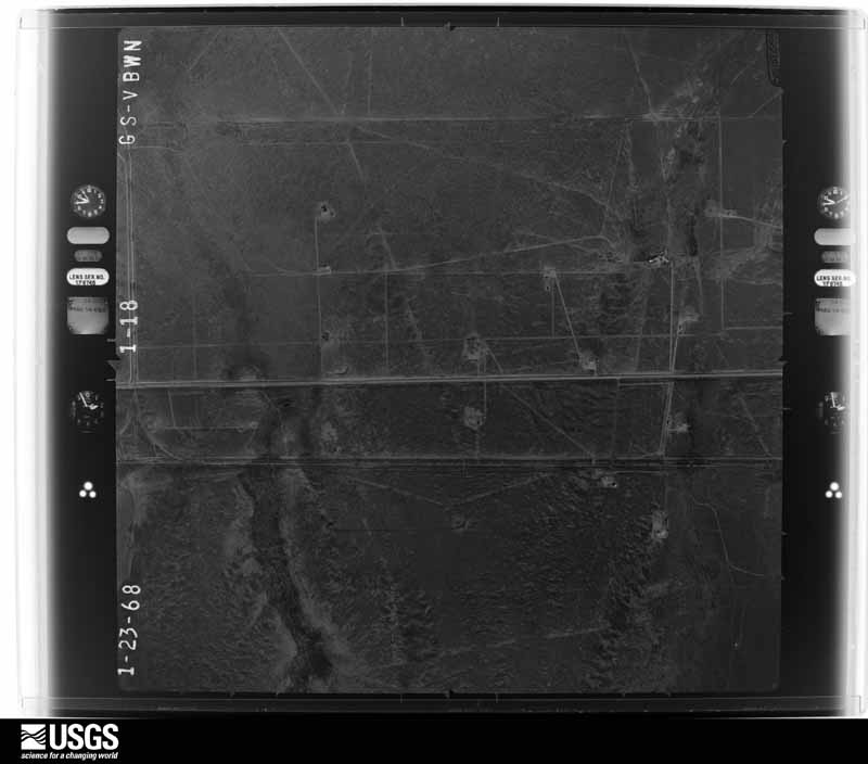
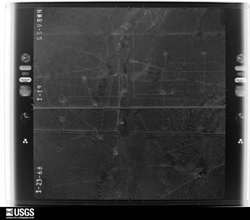
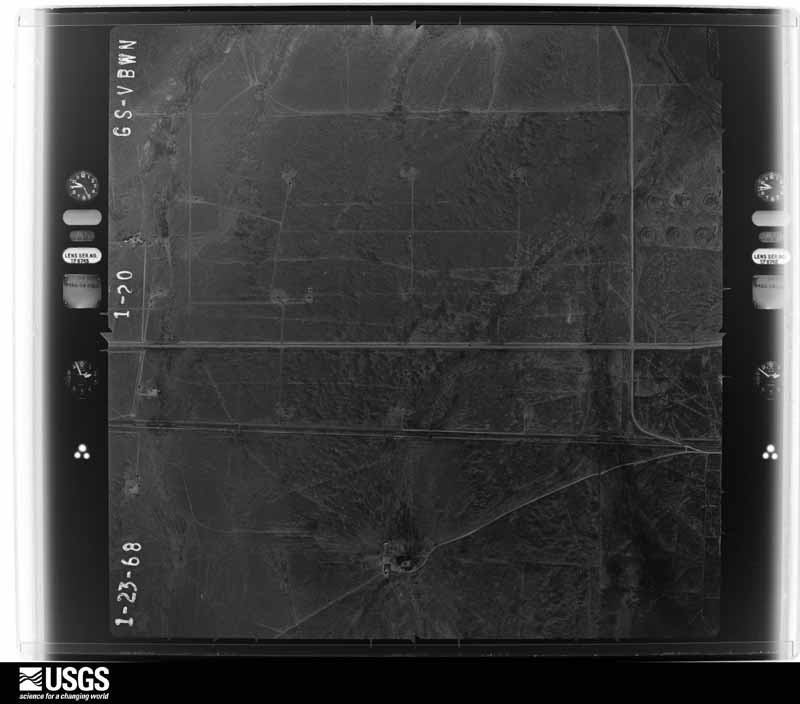
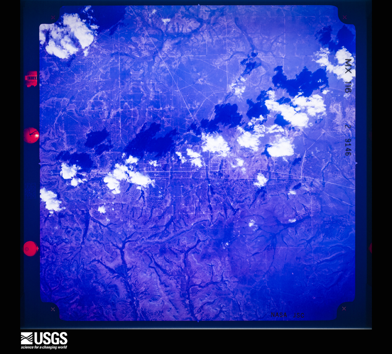
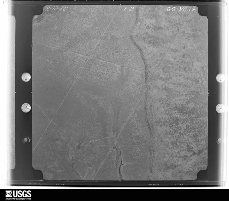
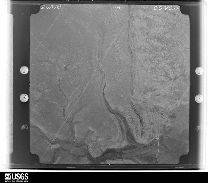
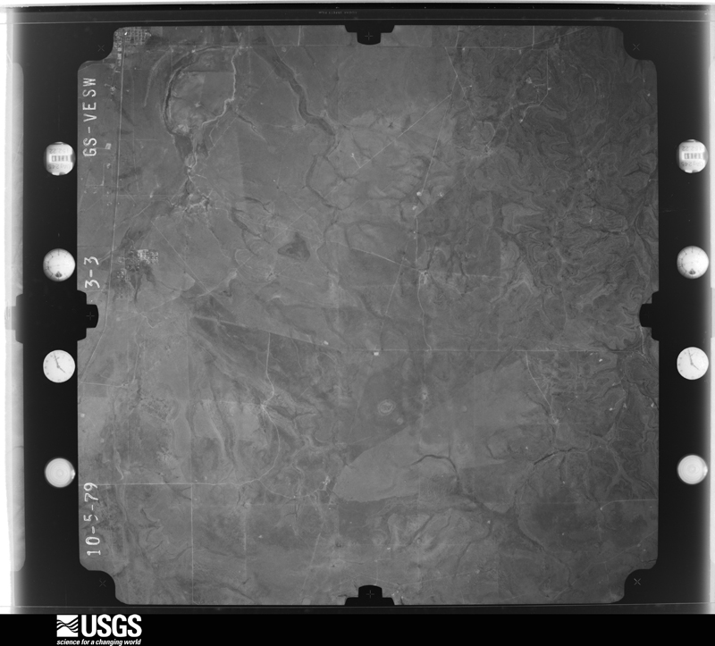
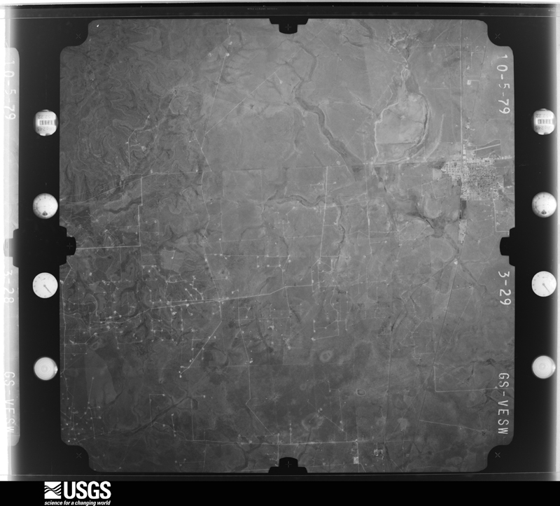
Flown by the U.S. Geological Survey between 1937 and 1989, the Aerial Photo Single Frames collection is the definitive mid-century view of the land: fields, roads and rivers as the camera saw them. The Survey holds 1,042 frames inside the rectangle that bounds this county; the 36 frames below were taken over the county itself, chosen across the decades of flights (at most four a year from that rectangle), so one flight cannot crowd out the rest. The full set is free to browse and download at EarthExplorer under the dataset Aerial Photo Single Frames.
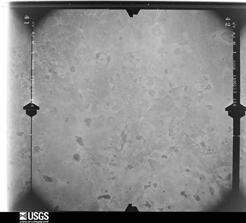
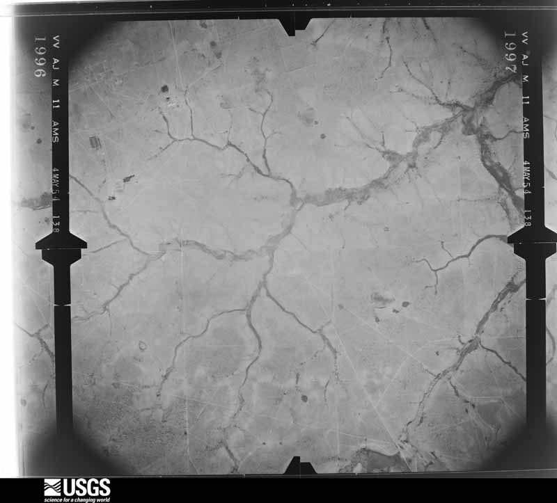
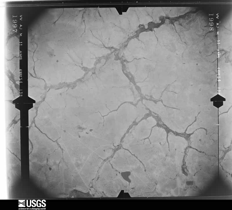
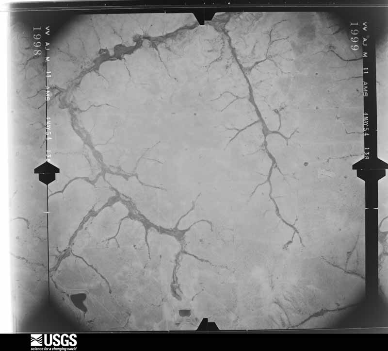



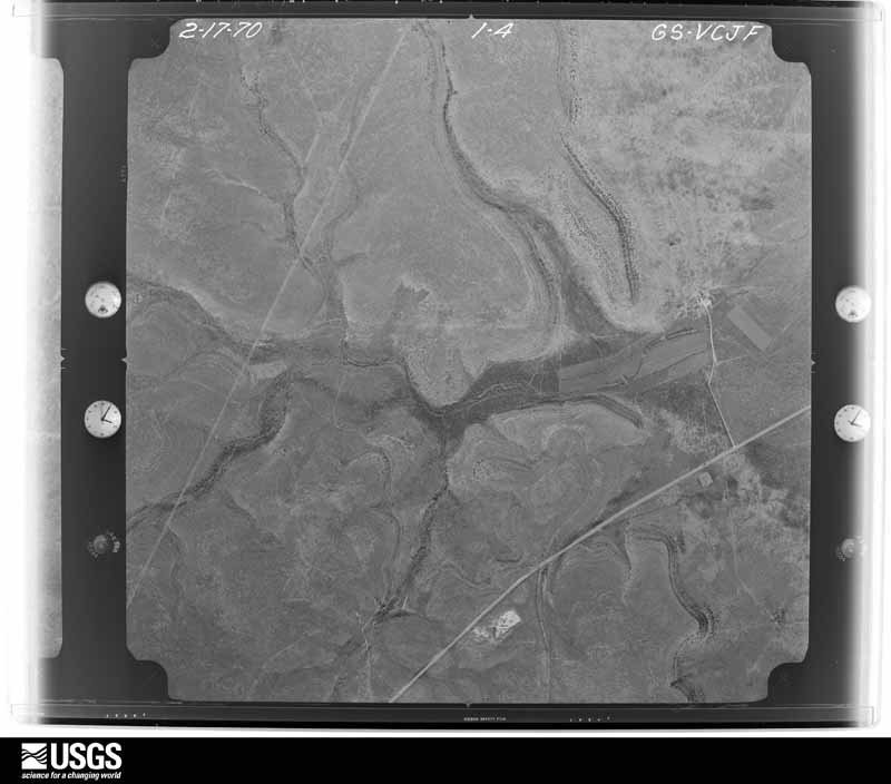
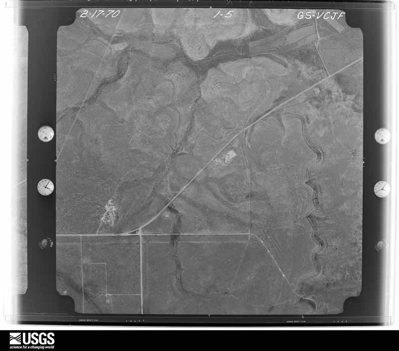
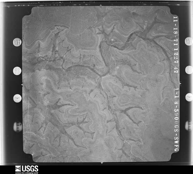
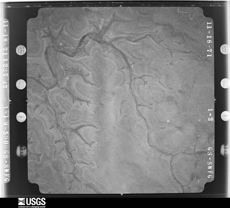
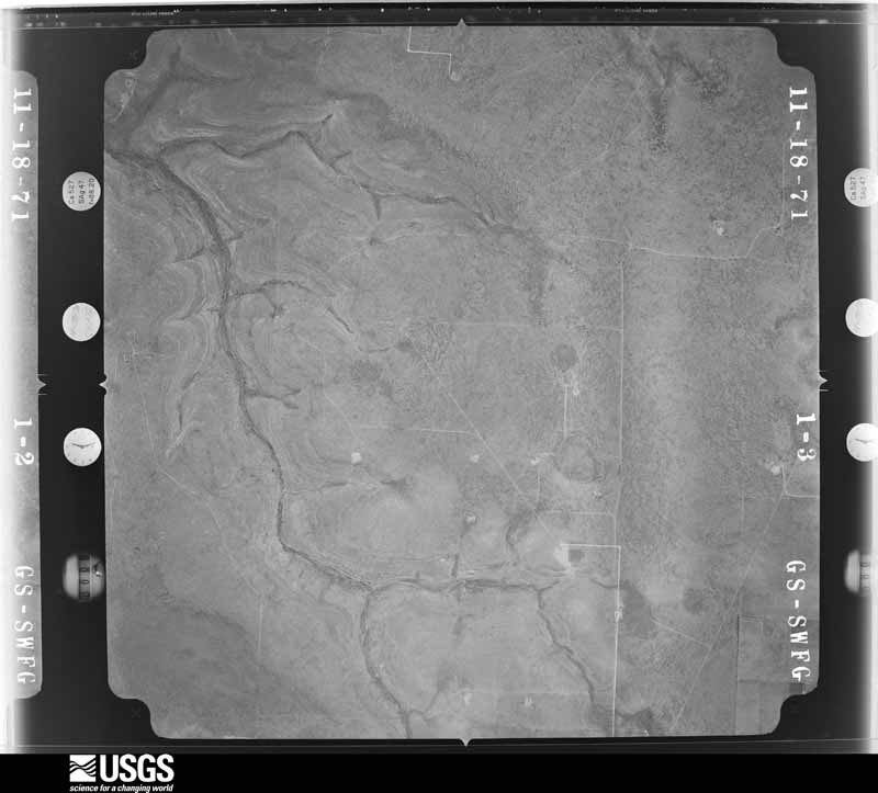
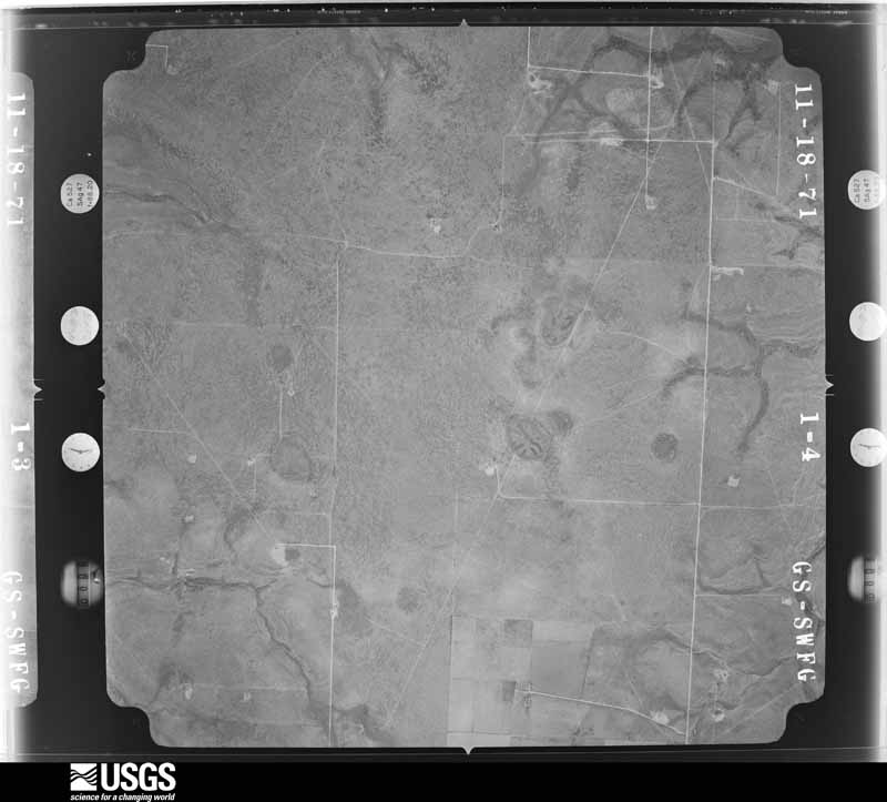
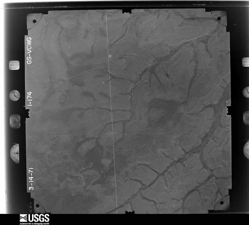
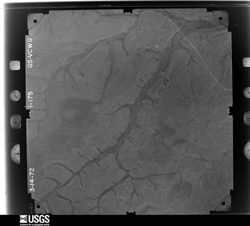
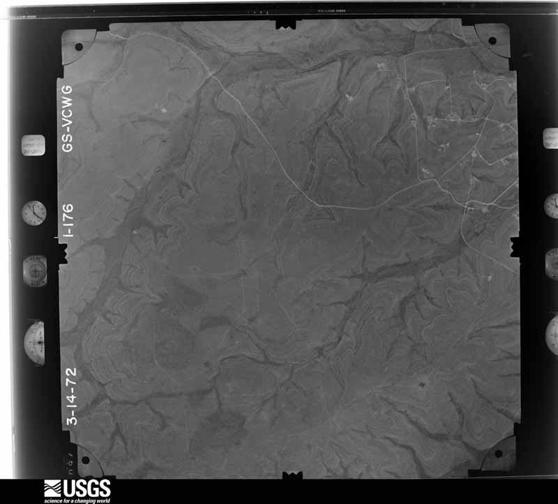
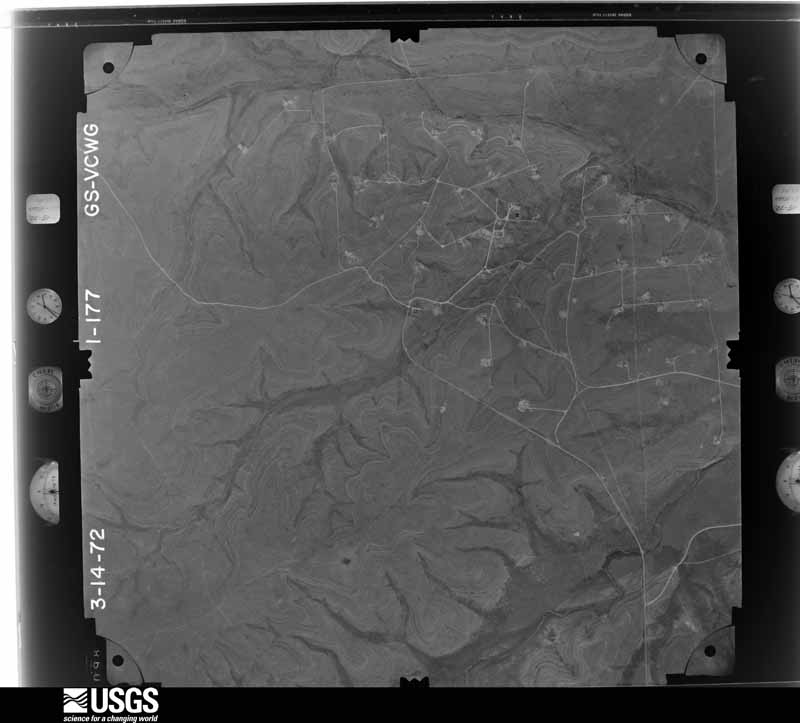
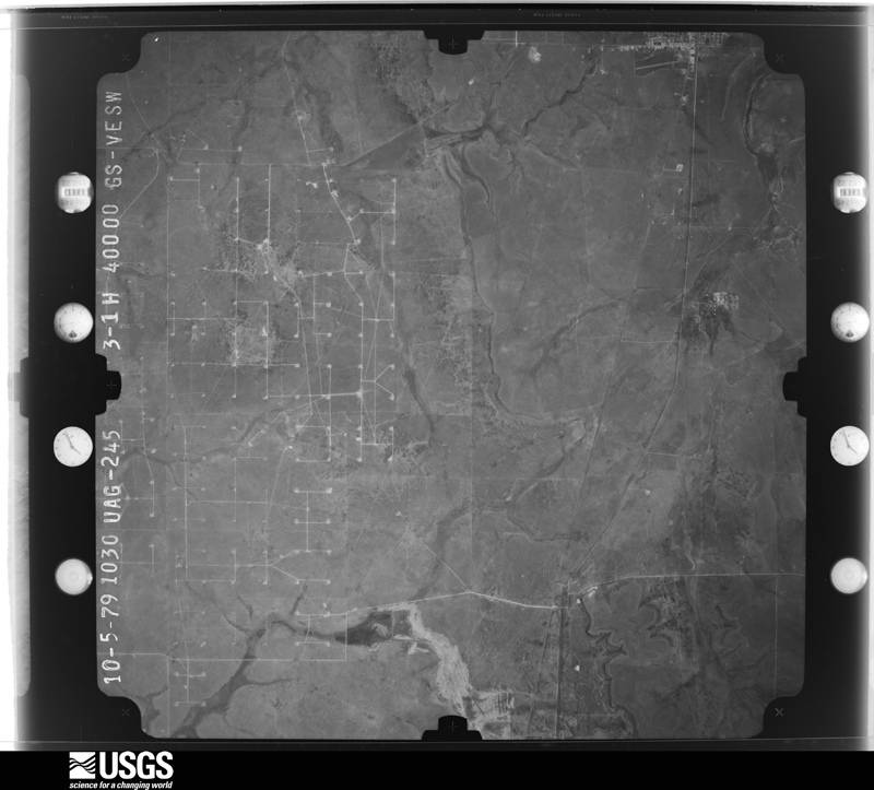
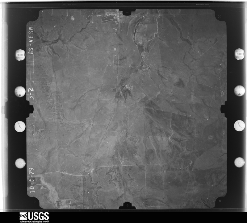
The thermometers that kept this county's weather, as the federal records hold them. The extremes below are measured values from those records, not estimates.
Who lived here in 1950, one enumeration district at a time, as the Census Bureau described each district. Each row opens its official National Archives result, with Population Schedules and ED Maps available there.
Every wildfire the federal occurrence database records inside this county: 96 of them, burning about 27,928 acres. 8 started naturally and none was recorded as arson. Each settlement page carries the fires within five miles of it.
| Reported cause | Fires |
|---|---|
| Missing data/not specified/undetermined | 51 |
| Power generation/transmission/distribution | 17 |
| Equipment and vehicle use | 15 |
| Natural | 8 |
| Debris and open burning | 3 |
| Railroad operations and maintenance | 2 |
The five largest, by the area the report gives. None of them was recorded as arson.
| Date | Cause | Size | Reported by | Name on the report |
|---|---|---|---|---|
| 27 February 2011 | Power generation/transmission/distribution | 6,000 acres | Texas A & M Forest Service | FERGUSON |
| 3 March 2006 | Missing data/not specified/undetermined | 2,401 acres | Texas A & M Forest Service | ROCKER B #2 |
| 14 March 2008 | Missing data/not specified/undetermined | 2,000 acres | Texas A & M Forest Service | WEST HOLLOW |
| 28 May 2011 | Missing data/not specified/undetermined | 1,500 acres | Texas A & M Forest Service | HIGHLAND FIRE |
| 25 August 2019 | Missing data/not specified/undetermined | 1,480 acres | Texas A & M Forest Service | VAT |
| 11 June 2008 | Missing data/not specified/undetermined | 1,250 acres | Texas A & M Forest Service | WEST LINE |
| 31 August 2020 | Natural | 1,184 acres | Texas A & M Forest Service | FERGUSON |
| 15 December 2010 | Missing data/not specified/undetermined | 1,100 acres | Texas A & M Forest Service | BIG LAKE WEST |
Every settlement page carries the fires within five miles of it - see the settlement index below.
The NOAA Storm Events Database holds 228 reports for this county, causing no deaths, 5 injuries and about $565,760 in recorded property damage. Each settlement page carries the reports that name it.
| Kind of event | Reports |
|---|---|
| Hail | 128 |
| Thunderstorm Wind | 55 |
| Flash Flood | 29 |
| Tornado | 16 |
The most serious of them, by death, then injury, then recorded damage. The accounts are quoted exactly as the forecast office filed them.
| When | Event | Place named | Harm | What the report says |
|---|---|---|---|---|
| March 2000 | Tornado (F2) | Stiles | 5 hurt, $200,000 | The tornado knocked a small house off its foundation by about 15 yards with the house pivoting 90 degrees as well. One infant suffered a slight head injury from falling furniture. The tornado continued travelling north-northeast through rural areas, but struck and destroyed a mobile home, injuring two men, one seriously. Lighter damage was scattered along the rest of its path, including utility poles down, parts of roofs damaged, fences and barns damaged, etc. The tornado crossed into Glasscock County at 31.65N/101.50W. |
| November 2004 | Flash Flood | Stiles | $300,000 | Flash flooding along the usually dry Indian Creek in northeastern Reagan County caused high water to rush over portions of Farm to Market Road 2600. Fire department personnel aided several motorists in the area that were stranded by flowing water. Receding flood waters during the late afternoon hours revealed extensive damage to portions of the roadway. |
| March 2004 | Tornado (F0) | Stiles | $20,000 | Results from a National Weather Service storm survey indicated that a brief tornado resulted in five downed power poles in open range land across northeast Reagan County. A witness reported seeing a funnel in the immediate vicinity, and a rural resident that lives near the damaged poles heard a "loud roar". |
| April 2008 | Hail | Big Lake | $10,000 | Half dollar to golfball sized hail was reported by police in Big Lake. |
| April 2008 | Hail | Big Lake | $10,000 | Half dollar sized hail was reported by police in Big Lake. |
| April 2002 | Hail | Big Lake | $10,000 | Broke windows out of a residence near the intersection of Highways 137 and 1537. |
| July 2012 | Thunderstorm Wind | Big Lake | $7,000 | A thunderstorm moved over Reagan County and produced a 70 mph wind gust in Big Lake. The wind blew the roof off of the Mustang Inn. The cost of the damage is a rough estimate. |
| September 2018 | Flash Flood | Big Lake | $5,000 | Heavy rain fell across Reagan County and produced flash flooding north of Big Lake. There was significant flooding on State Highway 137 north of Big Lake. Vehicles were stalled and water was running in the bar ditches and pastures. The cost of damage is a very rough estimate. |
| March 2005 | Thunderstorm Wind | Stiles | $1,000 | A rural resident north of Stiles reported 60 MPH gusts from a severe thunderstorm that blew open and slightly damaged the door on a large barn. |
| July 2005 | Thunderstorm Wind | Big Lake | $1,000 | Damaging thunderstorm winds blew a garage down north-northwest of Big Lake. |
| June 2001 | Thunderstorm Wind | Big Lake | $1,000 | Minor roof damage and trees blown down. |
| August 2004 | Thunderstorm Wind | Stiles | $500 | The North Reagan County Fire Department reported severe thunderstorm winds that produced minor damage around the fire station. A large wooden swing and jungle gym unit was blown over by the winds. |
| June 2015 | Flash Flood | Big Lake | $200 | A line of thunderstorms moved across Reagan County and produced significant flooding in the city of Big Lake. The cost of damage is a very rough estimate. |
| March 1979 | Tornado (F0) | not stated | $30 | no account filed |
| April 1957 | Tornado (F0) | not stated | $30 | no account filed |
| April 2026 | Thunderstorm Wind | Stiles | - | The West Texas Mesonet station 5 SW Saint Lawrence measured a severe thunderstorm wind gust of 75 mph. |
| June 2025 | Thunderstorm Wind | Big Lake | - | A dry microburst under a decaying thunderstorm anvil caused winds up to 60 mph, which was recorded by the Mesonet station 64 Big Lake. |
| June 2025 | Thunderstorm Wind | Big Lake | - | A dry microburst under a decaying thunderstorm anvil caused a 58 mph wind gust at the AWOS station KE41 Big Lake. |
| April 2025 | Hail | Big Lake | - | A report of penny sized hail was received from mPING near Big Lake. Time is estimated from radar. |
| April 2025 | Hail | Big Lake | - | A report of hen egg size hail was received from mPING. |
| April 2025 | Hail | Big Lake | - | Ping pong to golf ball size hail observed on the road from storm chaser footage north of Big Lake. |
| October 2025 | Flash Flood | Big Lake | - | Reagan County Sheriff's Office reported flash flooding along a few streets in the community of Big Lake. The total time of occurrence is partially estimated from radar. No damage was reported. |
| October 2025 | Hail | Big Lake | - | Reagan County Sheriff's Office reported half dollar-size hail in Big Lake. The total time of occurrence is partially estimated from radar. |
| May 2024 | Hail | Texon | - | Photo shared on Twitter/X of 3-inch hailstone measured with a ruler. |
| May 2024 | Hail | Stiles | - | Public photo shared of half-dollar-size hail. |
| May 2024 | Hail | Stiles | - | Large piles of small hail along the side of the road, some hail may be larger. |
| May 2024 | Hail | Big Lake | - | This report was from mPING. |
| June 2023 | Hail | Stiles | - | COOP observer at Cope Ranch measured 2-inch hail. |
| May 2023 | Hail | Stiles | - | Report from mPing. |
| February 2022 | Thunderstorm Wind | Best | - | A thunderstorm moved across Reagan County and produced a 61 mph wind gust five miles southwest of Saint Lawrence. |
| June 2022 | Thunderstorm Wind | Big Lake | - | A thunderstorm produced a 60 mph wind gust at the Big Lake AWOS site. |
| May 2021 | Thunderstorm Wind | Best | - | A thunderstorm produced a 65 mph wind gust at the mesonet site near St. Lawrence. |
| May 2021 | Thunderstorm Wind | Big Lake | - | A thunderstorm produced a 61 mph wind gust as measured by the mesonet by Big Lake. |
| May 2020 | Thunderstorm Wind | Best | - | A thunderstorm moved across Reagan County and produced a 67 mph wind gust at the mesonet site located five miles southwest of St. Lawrence. |
| May 2020 | Thunderstorm Wind | Big Lake | - | A thunderstorm produced a 58 mph wind gust near Big Lake. |
| May 2020 | Thunderstorm Wind | Best | - | A thunderstorm produced a 59 mph wind gust at the St. Lawrence mesonet site. |
| March 2019 | Thunderstorm Wind | Best | - | A thunderstorm moved across Reagan County and produced a 63 mph wind gust five miles southwest of St. Lawrence. |
| April 2019 | Hail | Big Lake | - | Time was estimated from the radar, and the report was relayed by local media via Twitter. |
| May 2019 | Thunderstorm Wind | Best | - | A thunderstorm moved across Reagan County and produced a 61 mph wind gust five miles southwest of St. Lawrence. |
| October 2018 | Thunderstorm Wind | Best | - | A thunderstorm moved across Reagan County and produced a 62 mph wind gust about five miles southwest of St. Lawrence. |
| June 2017 | Tornado (EF0) | Big Lake | - | A thunderstorm moved across Reagan County and produced a brief landspout. This landspout was observed in an open field just east of State Highway 137 roughly 20 to 25 miles north of Big Lake. There was no damage reported so it was rated as an EF-0. |
| June 2017 | Tornado (EF0) | Big Lake | - | A thunderstorm moved across Reagan County and produced a landspout. The landspout was observed in open country and no damage was reported so it was rated as an EF-0. |
| June 2017 | Thunderstorm Wind | Big Lake | - | A thunderstorm moved across Reagan County and produced a wind gust of 58 mph one mile west southwest of Big Lake. |
| May 2017 | Thunderstorm Wind | Best | - | A thunderstorm moved across Reagan County and produced a 63 mph wind gust five miles southwest of St. Lawrence. |
| March 2017 | Thunderstorm Wind | Best | - | A thunderstorm moved across Reagan County and produced a 61 mph wind gust five miles southwest of St. Lawrence. |
| March 2017 | Thunderstorm Wind | Best | - | A thunderstorm moved across Reagan County and produced a 66 mph wind gust five miles southwest of St. Lawrence. |
| February 2016 | Thunderstorm Wind | Big Lake | - | A thunderstorm moved across Reagan County and produced a 66 mph wind gust near Big Lake. |
| February 2016 | Thunderstorm Wind | Best | - | A thunderstorm moved across Reagan County and produced a 58 mph wind gust near St. Lawrence. |
| May 2016 | Thunderstorm Wind | Stiles | - | A thunderstorm produced a reported wind gust of 50 to 60 mph. |
| May 2016 | Thunderstorm Wind | Big Lake | - | The public reported a thunderstorm wind gust estimated at 60-70 mph in Big Lake. |
| May 2015 | Thunderstorm Wind | Stiles | - | A thunderstorm moved across Reagan County and produced a 63 mph wind gust as recorded by the mesonet five miles southwest of St. Lawrence. |
| December 2015 | Thunderstorm Wind | Best | - | A thunderstorm moved across Reagan County and produced a 64 mph wind gust at the Mesonet site southwest of St. Lawrence. |
| May 2015 | Thunderstorm Wind | Big Lake | - | A thunderstorm moved across Reagan County and produced a 62 mph wind gust as recorded by the mesonet. |
| May 2015 | Thunderstorm Wind | Big Lake | - | A thunderstorm moved across Reagan County and produced a 60 mph wind gust at the Pilot Travel Center in Big Lake. |
| May 2015 | Thunderstorm Wind | Best | - | A thunderstorm moved across Reagan County and produced a 59 mph wind gust near St. Lawrence at the mesonet site. |
| May 2014 | Hail | Texon | - | A thunderstorm moved over the Western Gas Plant in Reagan County and produced golfball size hail. No damage was reported. |
| May 2014 | Thunderstorm Wind | Stiles | - | A thunderstorm moved over Reagan County and produced a 73 mph wind gust five miles southwest of St. Lawrence. No damage was reported. |
| May 2014 | Thunderstorm Wind | Big Lake | - | A thunderstorm moved over Reagan County and produced a 60 mph wind gust in Big Lake. No damage was reported. |
| June 2014 | Thunderstorm Wind | Best | - | A thunderstorm moved across Reagan County and produced 60 mph winds and dime sized hail near Best. No damage was reported. |
| May 2014 | Hail | Best | - | A thunderstorm moved across Reagan County and produced golfball sized hail and a brief funnel cloud one mile north of the North Reagan Fire Station. No damage was reported. |
The Survey's mineral resources record lists 1 working inside this county. It still produces. Each settlement page carries the workings within five miles of it.
| Commodity | Workings |
|---|---|
| Sulfur | 1 |
The least common of them first, because a county's hundredth gravel pit says nothing its first ten did not.
| Where | Site | Commodity | Status | Recorded |
|---|---|---|---|---|
| Dorchester Gas | Sulfur | Producer |
Named settlements recorded in the Geographic Names Information System, each with the topographic sheets covering it. Villages, hamlets and abandoned places alike. Each is shown with the nearest named watercourse or landform and the survey quadrangle it falls on.
Big Lake census division · 76932 · Texon quadrangle
7 sheets, 1928 to 1986
No longer a settlement
The vanished settlements of Reagan County: the places named above that are no longer on the map.