 Block
BlockFrom the record
5 National Register listings published here.
Sources: the National Register database, National Park Service
60 topographic sheets cover 40 settlements here, and 5 properties are on the National Register of Historic Places.
5 National Register listings published here.
Sources: the National Register database, National Park Service
Every property in this county listed on the National Register of Historic Places, with the year it was listed and the federal nomination document.
| Photograph | Property | Type | Listed | Reference |
|---|---|---|---|---|
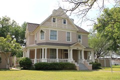 | Robert C. Allen House | building | 1982 | 82004521 |
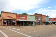 | Calvert Historic District | district | 1978 | 78002978 |
 | Franklin Carnegie Library | building | 2005 | 05001337 |
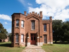 | Hammond House | building | 1970 | 70000759 |
 | Robertson County Courthouse and Jail | building | 1977 | 77001472 |
Drawn when these were printed as single large sheets: the town seen from the air, and the county divided into its farms with every owner named. Each opens the original at the Library of Congress.

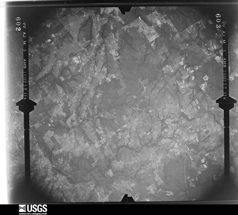
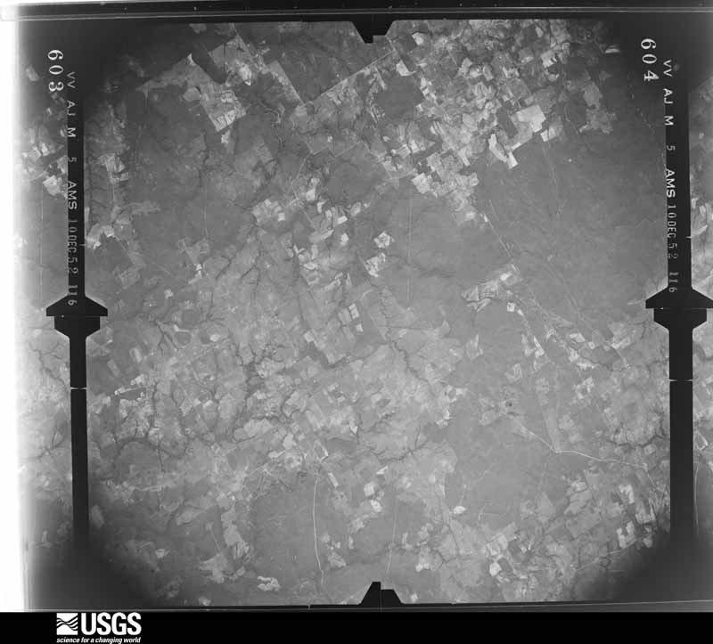
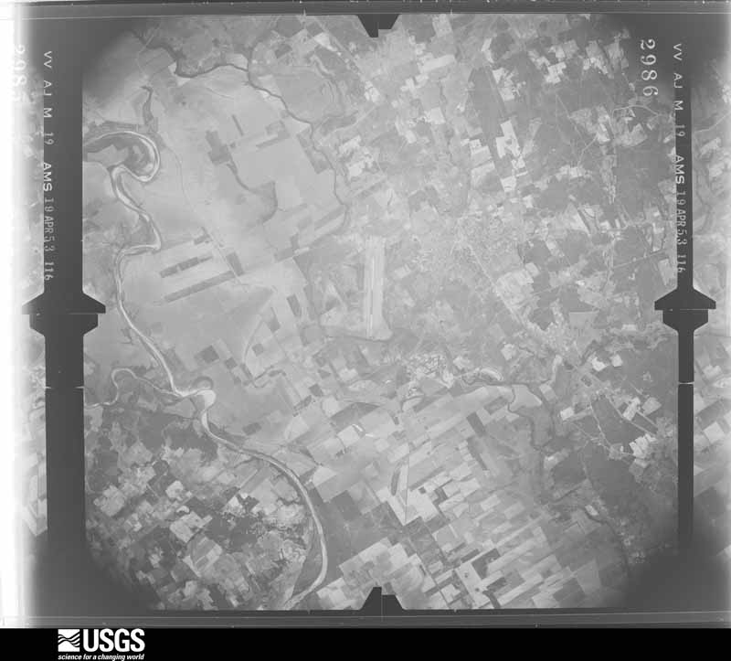
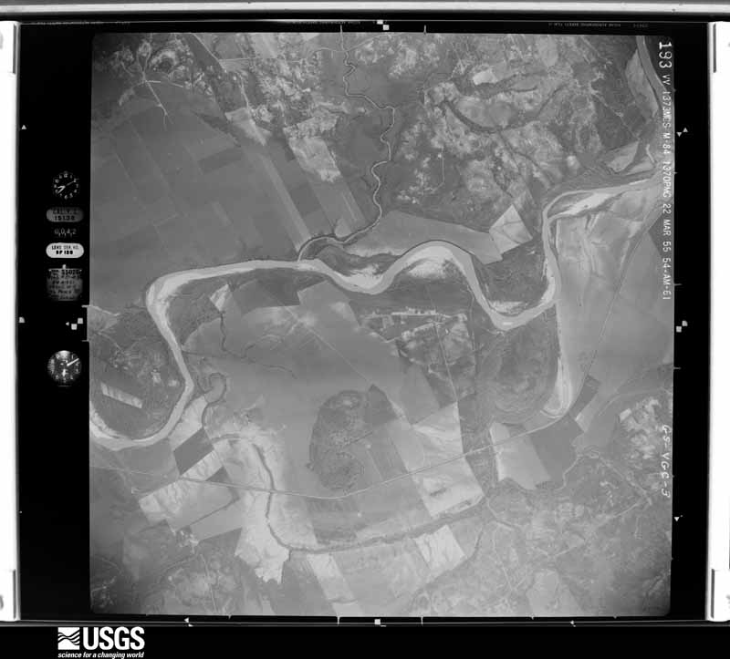
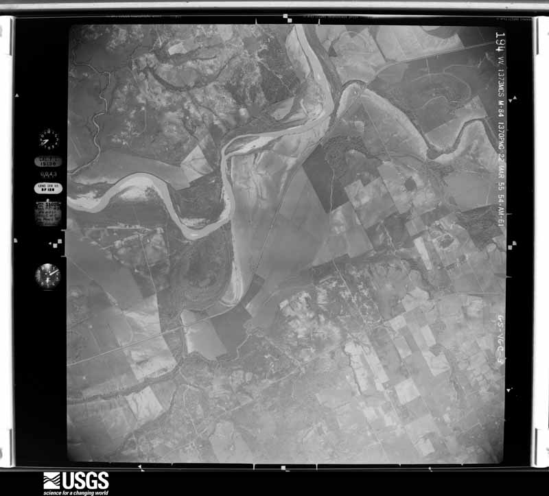
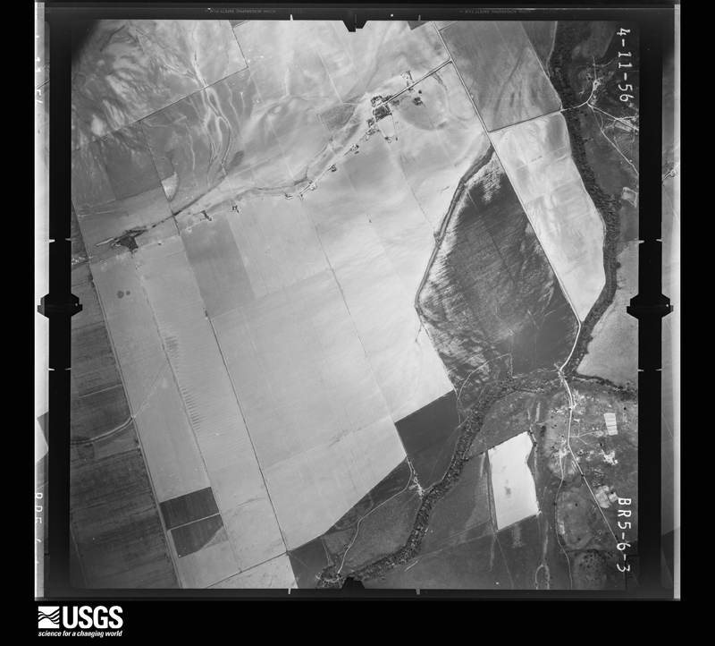
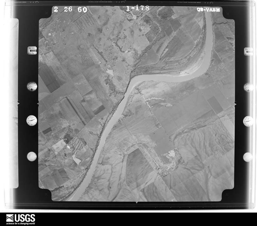
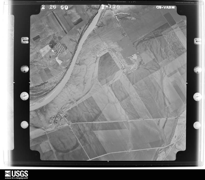
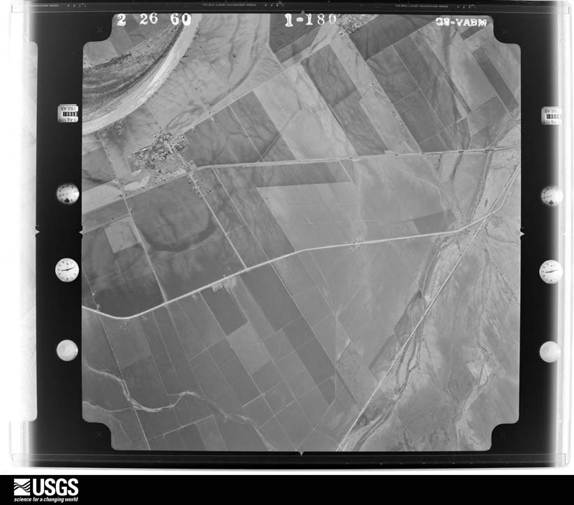
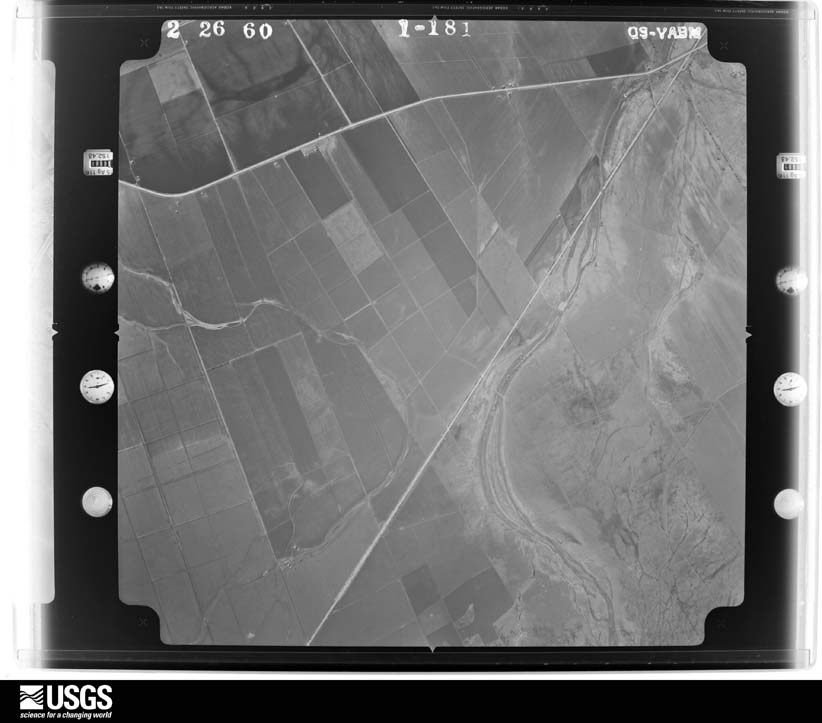
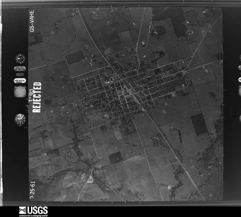
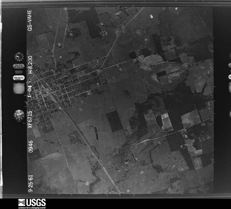
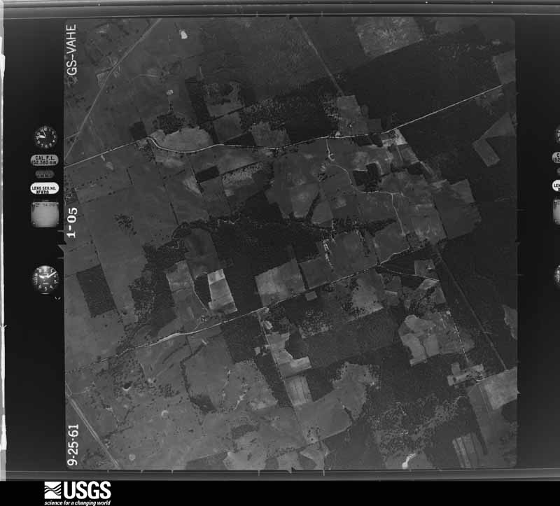
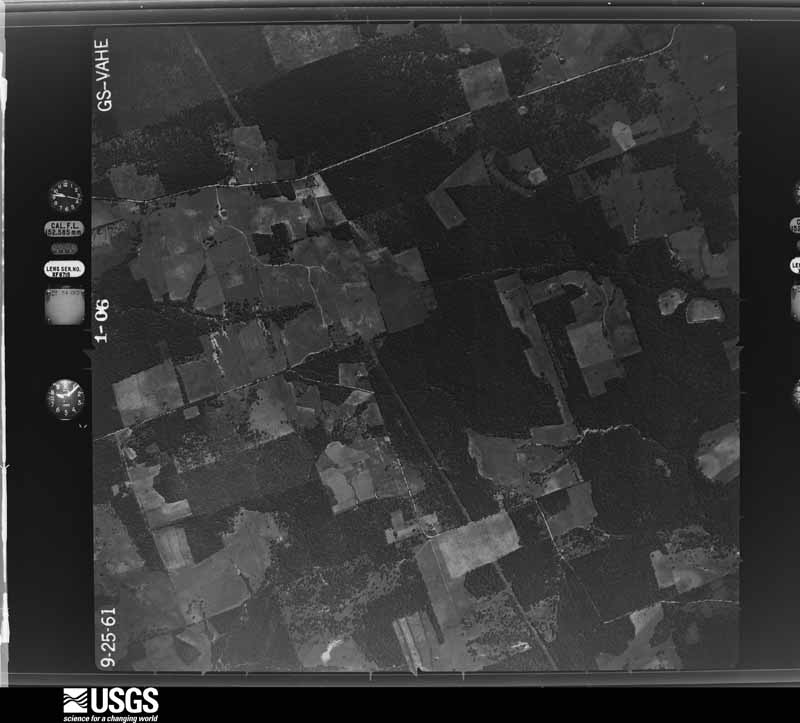
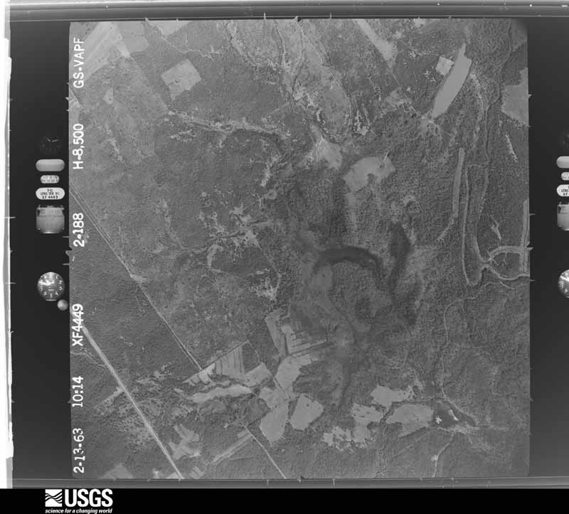
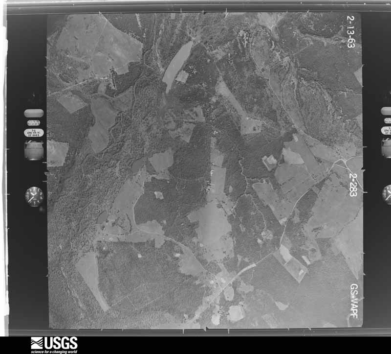
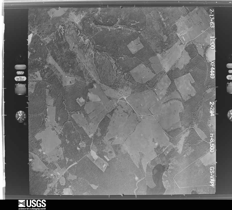
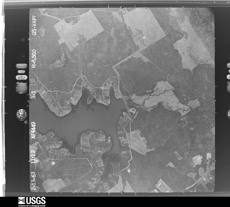
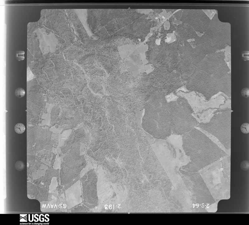
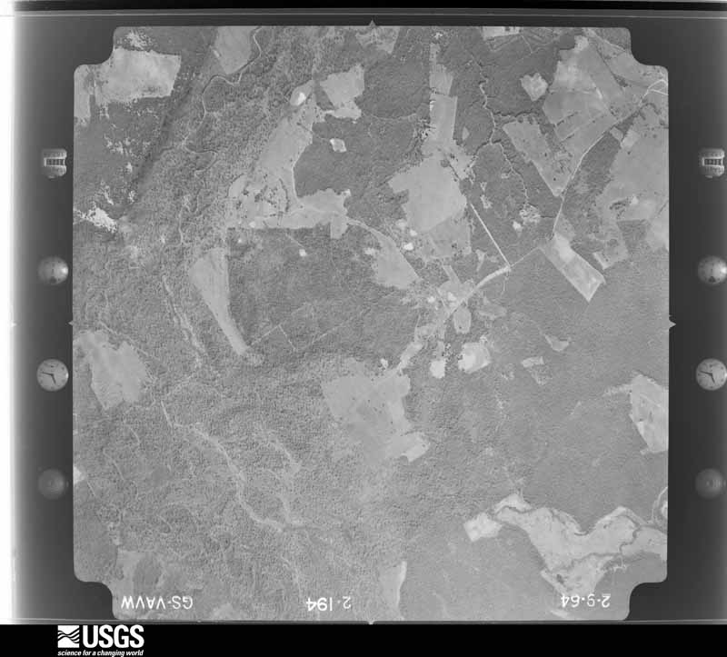
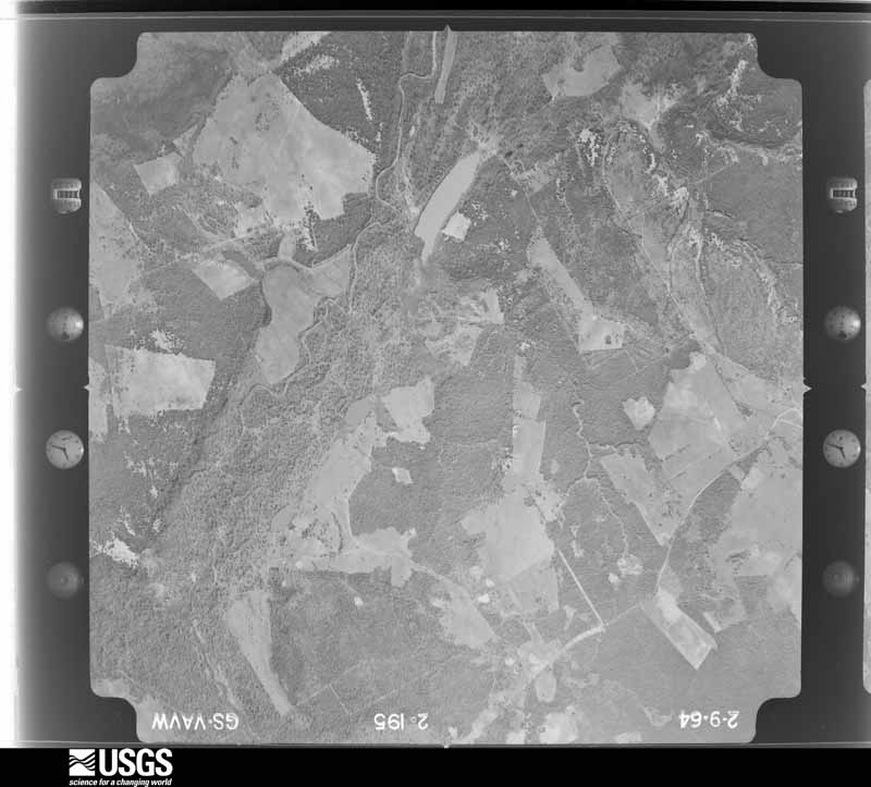
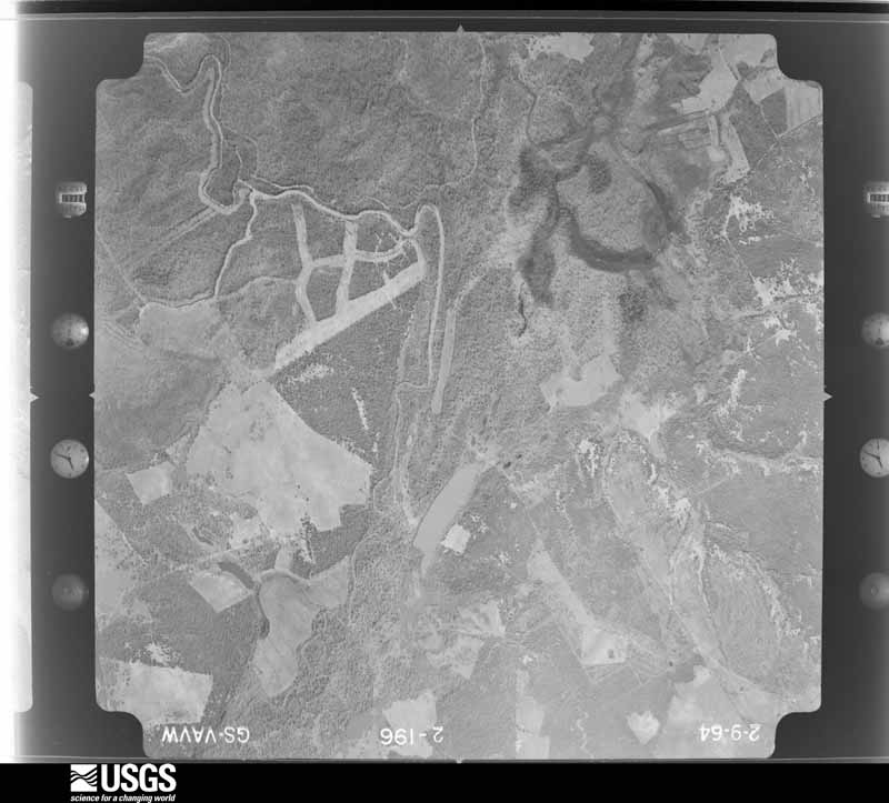
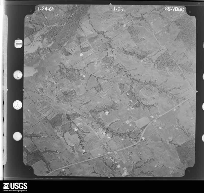
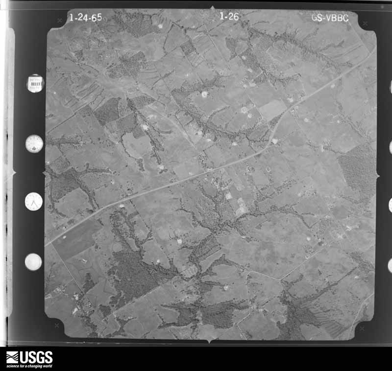
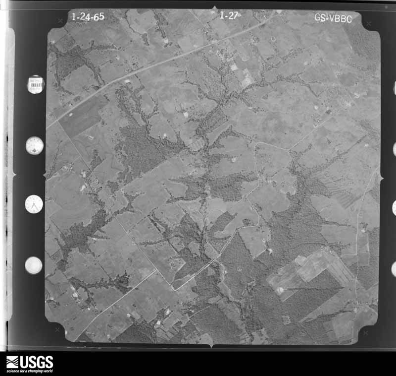
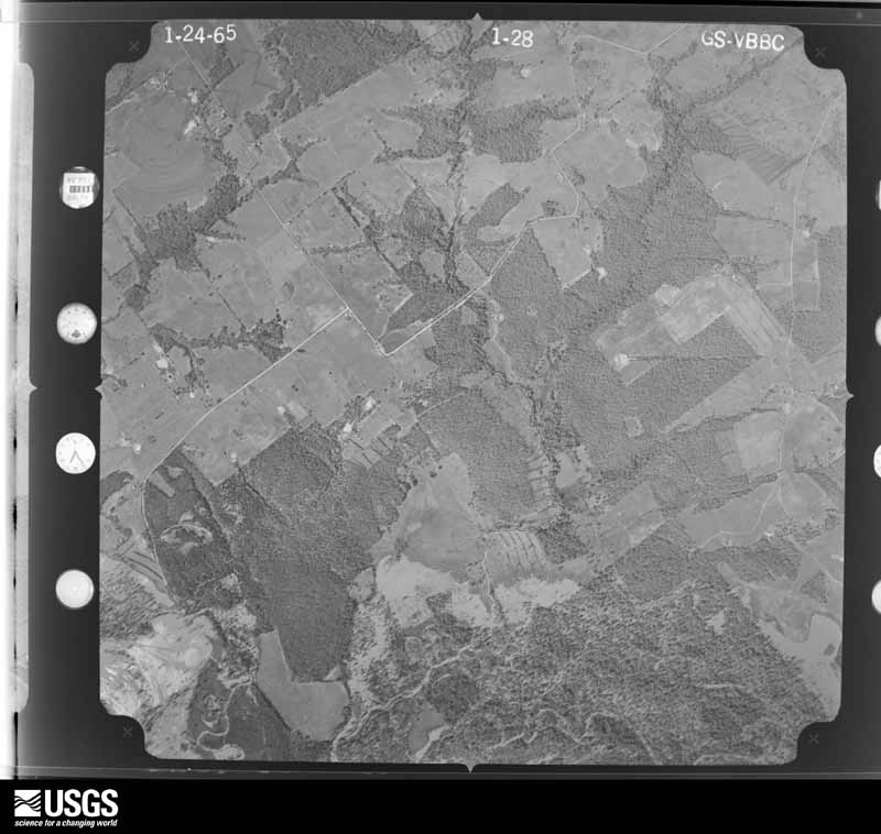
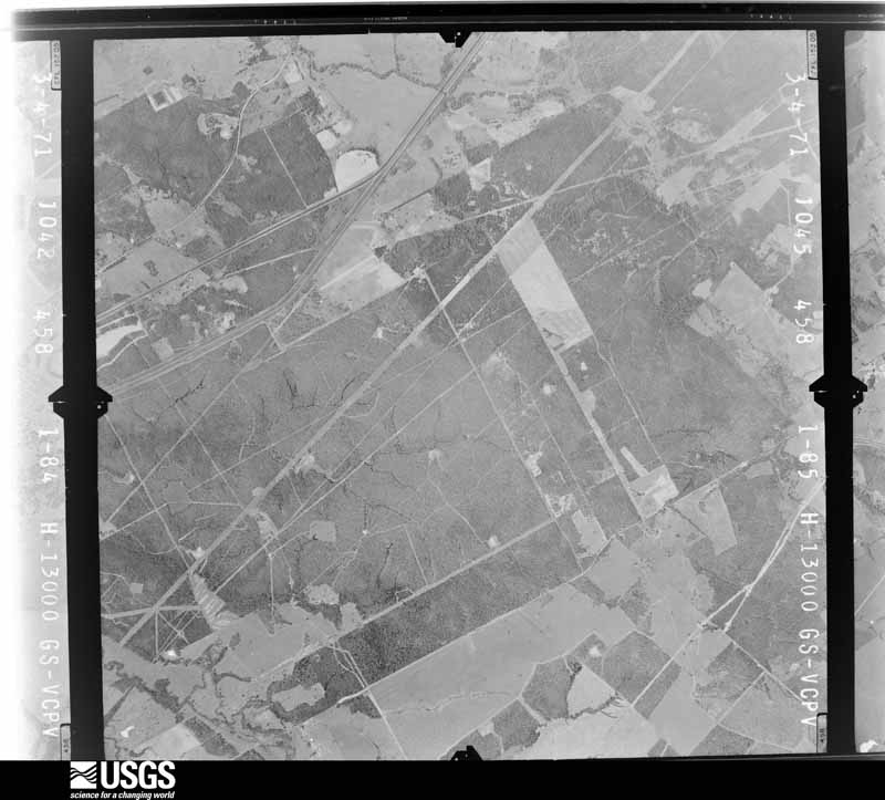
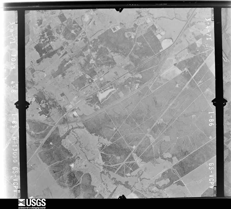
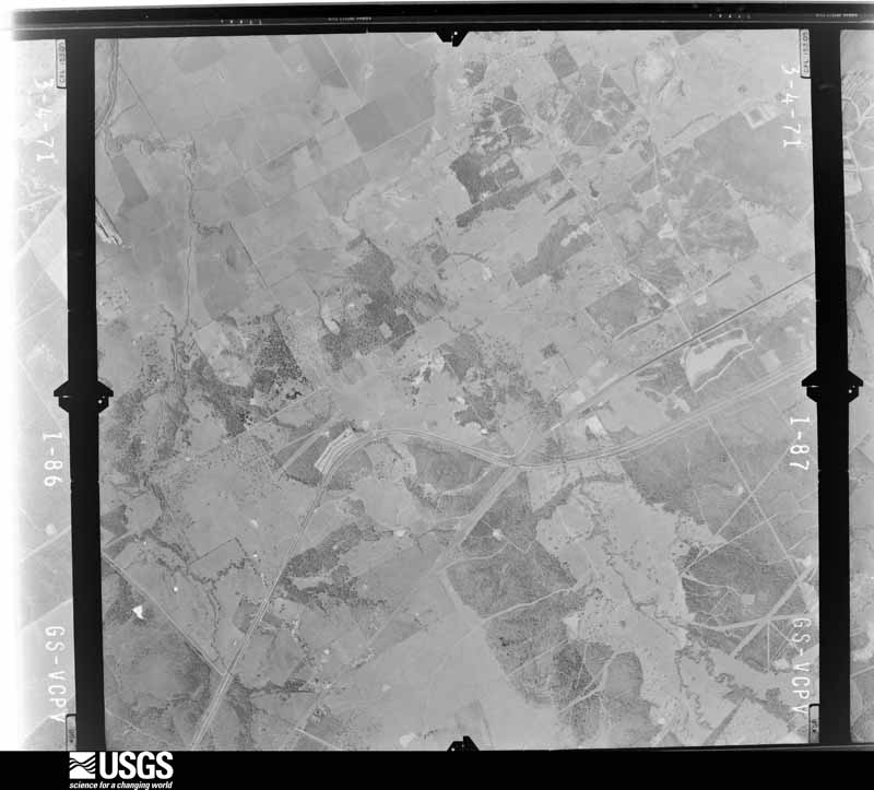
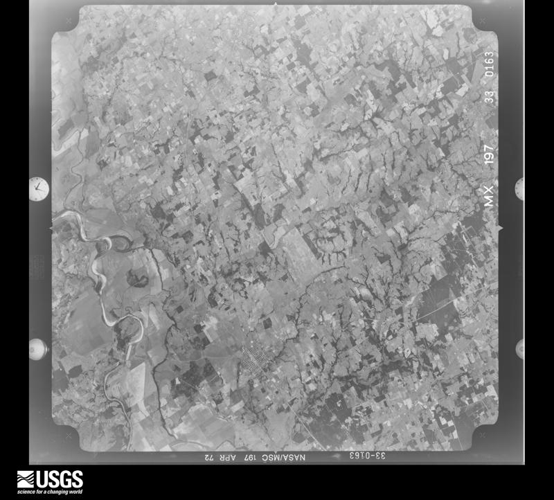
Flown by the U.S. Geological Survey between 1937 and 1989, the Aerial Photo Single Frames collection is the definitive mid-century view of the land: fields, roads and rivers as the camera saw them. The Survey holds 1,572 frames inside the rectangle that bounds this county; the 48 frames below were taken over the county itself, chosen across the decades of flights (at most four a year from that rectangle), so one flight cannot crowd out the rest. The full set is free to browse and download at EarthExplorer under the dataset Aerial Photo Single Frames.





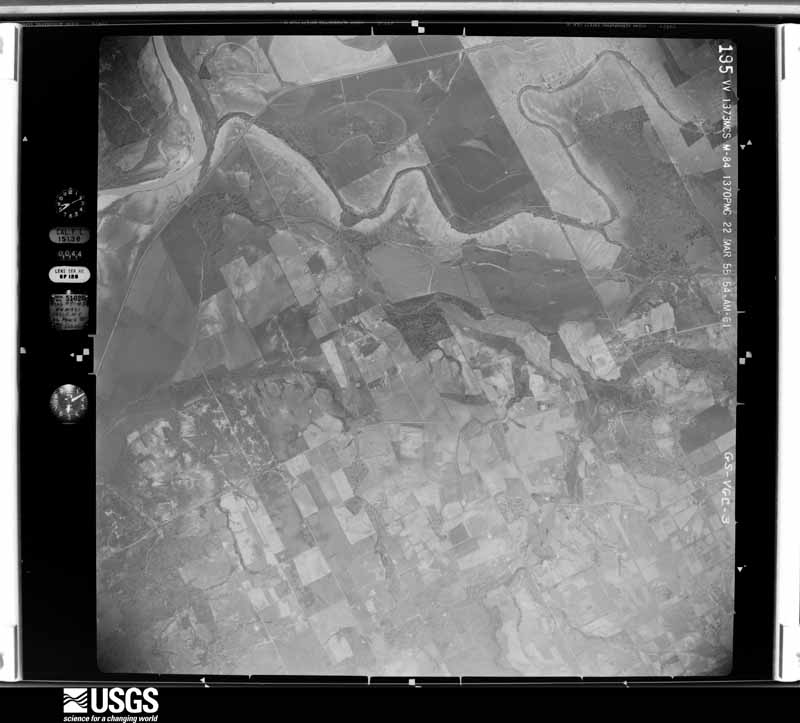
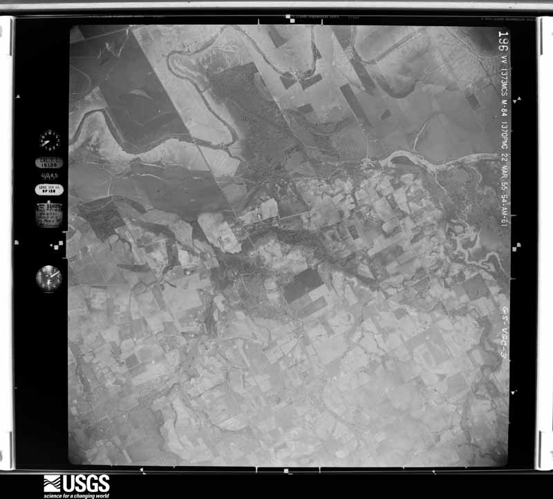
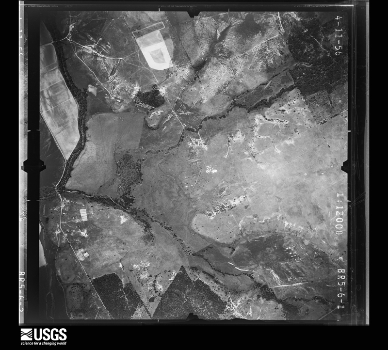
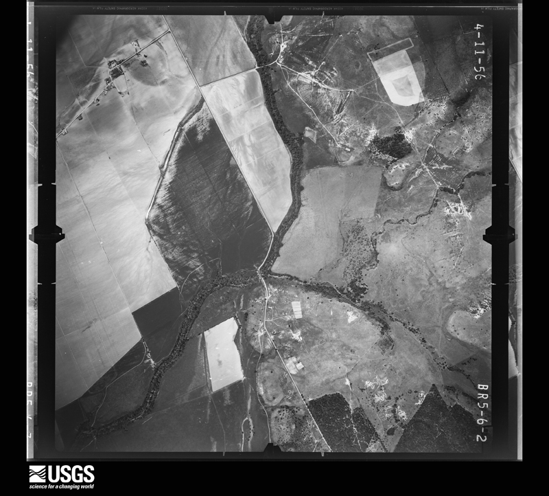





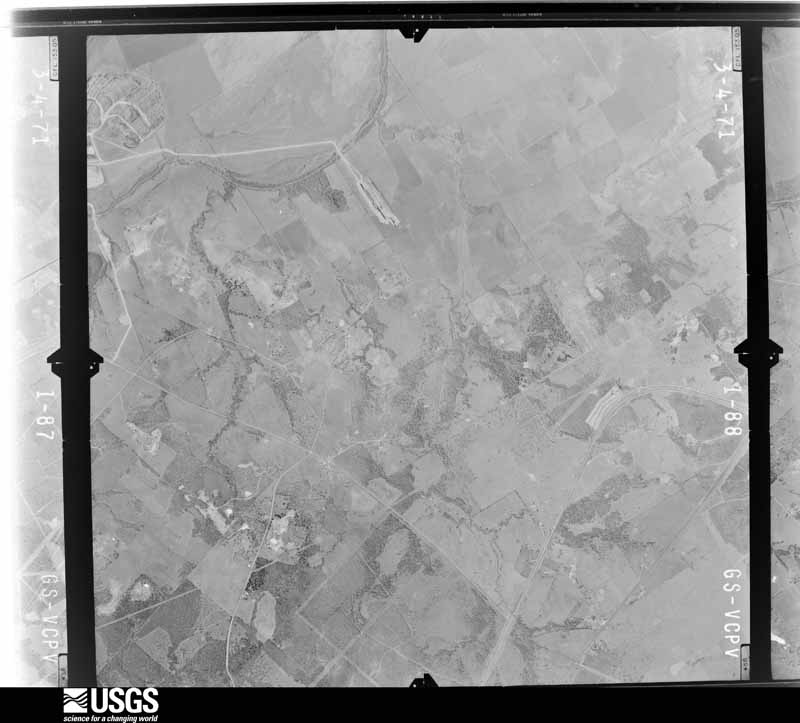
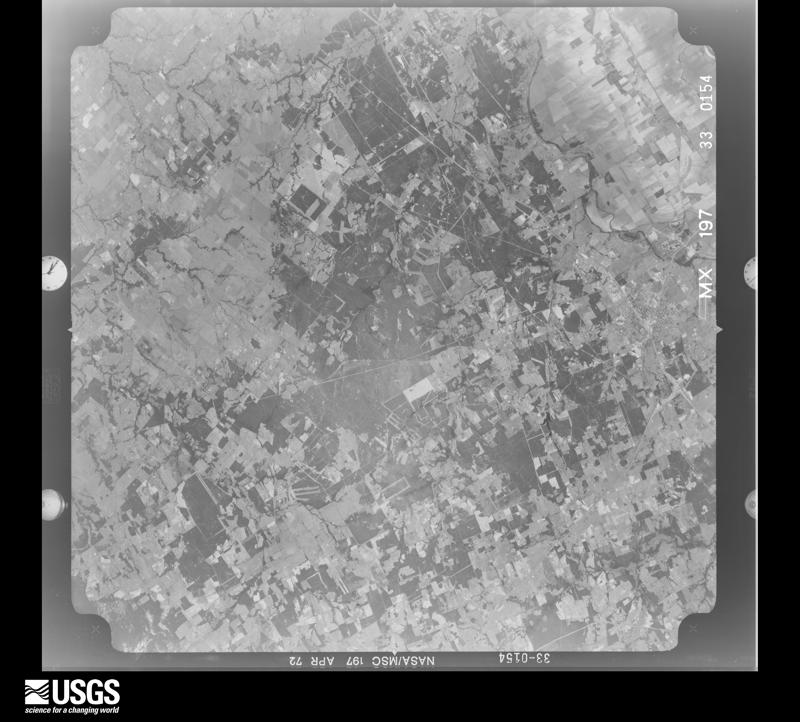
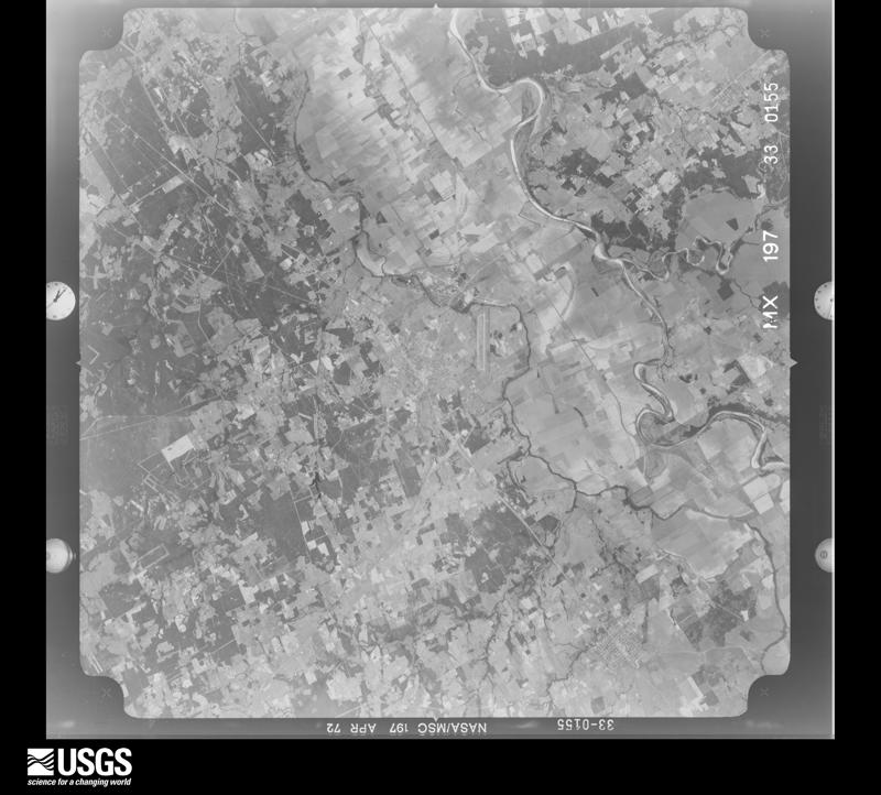
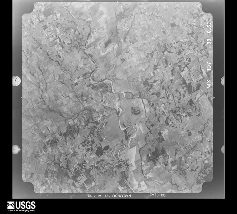
The thermometers that kept this county's weather, and the gages that measured the flow of its streams, as the federal records hold them. The extremes below are measured values from those records, not estimates.
Who lived here in 1950, one enumeration district at a time, as the Census Bureau described each district. Each row opens its official National Archives result, with Population Schedules and ED Maps available there.
Every wildfire the federal occurrence database records inside this county: 613 of them, burning about 9,891 acres. 11 started naturally and 11 were recorded as arson. Each settlement page carries the fires within five miles of it.
| Reported cause | Fires |
|---|---|
| Debris and open burning | 329 |
| Missing data/not specified/undetermined | 134 |
| Equipment and vehicle use | 77 |
| Power generation/transmission/distribution | 19 |
| Railroad operations and maintenance | 19 |
| Arson/incendiarism | 11 |
| Natural | 11 |
| Smoking | 10 |
| Misuse of fire by a minor | 2 |
| Recreation and ceremony | 1 |
The five largest, by the area the report gives. One of them was set deliberately.
| Date | Cause | Size | Reported by | Name on the report |
|---|---|---|---|---|
| 25 February 1996 | Missing data/not specified/undetermined | 900 acres | Texas A & M Forest Service | not named |
| 7 January 2006 | Missing data/not specified/undetermined | 800 acres | Texas A & M Forest Service | not named |
| 9 February 2017 | Debris and open burning | 400 acres | Texas A & M Forest Service | 17-0000007 |
| 7 January 2006 | Arson/incendiarism | 350 acres | Texas A & M Forest Service | CONROE - 18 |
| 24 February 2007 | Missing data/not specified/undetermined | 350 acres | Texas A & M Forest Service | TRACK |
| 12 December 2017 | Debris and open burning | 300 acres | Texas A & M Forest Service | JAMES CEMETERY RD. FIRE |
| 4 August 2008 | Equipment and vehicle use | 300 acres | Texas A & M Forest Service | HAMMOND |
| 1 January 2006 | Debris and open burning | 300 acres | Texas A & M Forest Service | not named |
Every settlement page carries the fires within five miles of it - see the settlement index below.
The NOAA Storm Events Database holds 204 reports for this county, causing no deaths, 7 injuries and about $3,687,100 in recorded property damage. Each settlement page carries the reports that name it.
| Kind of event | Reports |
|---|---|
| Hail | 83 |
| Thunderstorm Wind | 65 |
| Flash Flood | 36 |
| Tornado | 16 |
| Flood | 3 |
| Lightning | 1 |
The most serious of them, by death, then injury, then recorded damage. The accounts are quoted exactly as the forecast office filed them.
| When | Event | Place named | Harm | What the report says |
|---|---|---|---|---|
| May 1959 | Tornado (F3) | not stated | 7 hurt, $2,500 | no account filed |
| May 2004 | Flash Flood | Hearne | $2,730,000 | There were reports of flooding on Highway 6 and farm to market roads across the county. At 852 AM a high water rescue was in progress near Hearne, and high water rescues continued until at least 1000 AM. By 945 AM, widespread flooding was continuing with cars being washed off roads. 11-17 inches of rain fell across the county. Heavy agricultural losses occurred, including 107 farm dwellings and service buildings destroyed, 30 structures, such as dams and silos were destroyed, and 11,00 acres of crops flooded and destroyed. |
| April 2019 | Tornado (EF3) | Hearne Muni Arpt | $250,000 | This tornado is a continuation of the tornado that began in Milam County. After crossing the Brazos River, the tornado moved east-northeastward, crossing US Highway 6 approximately 4.5 miles north of Hearne. EF-1 damage was identified at one structure near this highway crossing, and considerable tree damage consistent with EF-1 intensity tornadic winds were observed along the highway right of way. The tornado then proceeded east-northeastward towards Franklin. ||The most significant damage occurred in the city of Franklin. Within a two-block long corridor on the south side of Franklin, the team confirmed EF-3 intensity tornado damage at 2 residences. Peak wind speeds at these sites were estimated at 140 mph. A number of additional structures on the south side of Franklin exhibited EF-1 and EF-2 intensity damage. ||The tornado continued from Franklin east-northeastward along US 79, crossing the Navasota River into far western Leon County. |
| May 1980 | Tornado (F1) | not stated | $250,000 | no account filed |
| May 2010 | Thunderstorm Wind | Hearne | $75,000 | Several large trees were blown down by thunderstorm gusts in the city of Hearne. Power was also out for most of the city. |
| February 1998 | Thunderstorm Wind | Bremond | $40,000 | Strong winds blew down large trees, power lines, and signs. A couple roofs were damaged. |
| May 2010 | Thunderstorm Wind | Calvert | $30,000 | Numerous trees were blown down in the city of Calvert. |
| May 2006 | Lightning | Franklin | $30,000 | Lightning struck and ignited several tanks of oil and gas early in the afternoon. Seven fire departments fought the fire for three hours before it was extinguished. |
| March 2022 | Hail | New Baden | $25,000 | A social media report indicated golf ball sized hail near New Baden, TX. |
| April 1997 | Thunderstorm Wind | Franklin | $25,000 | High wind removed the roof from a farm house. |
| June 2025 | Flash Flood | Nesbitt | $20,000 | EM reported water over road on N FM 46 near Liere Dairy and is washed out so impassable. |
| May 2019 | Thunderstorm Wind | Seger | $15,000 | Damaging straightline winds occurred in the Elliot area from a bowing segment and/or rear flank downdraft. Large trees were snapped or broken along Harless Lane off of Highway 79. Damage continued northeast of there, and the roof of a home on Daniels Lane off of FM 2549 was significantly damaged. Most of the metal roof was peeled back and off, likely the result of the wind lifting the roof from the front porch connections. |
| May 2016 | Flash Flood | Bold Prairie | $15,000 | Numerous county roads and several major roadways were closed due to flooding after over 4 inches of rain fell in short amount of time. In particular, the northbound lane of Highway 6 near Campbell's Creek was closed as the water continued to rise late in the afternoon hours. |
| May 2025 | Hail | Bold Prairie | $11,000 | The public reported larger than golf ball sized hail about 20 miles north of Franklin. |
| May 2025 | Tornado (EF0) | Franklin | $10,000 | An EF-0 tornado touched down just west of Henry Prairie Rd south of Franklin and moved northeast across FM 46 and McNutt Road before lifting near Old Hickory Grove Road. Several trees and large tree limbs were blown down along the path, with minor damage to a few homes and outbuildings. Max winds were estimated at 80 mph. |
| May 2025 | Hail | Owensville | $10,000 | A storm chaser reported 2 inch hail northwest of Franklin. |
| May 2019 | Tornado (EF0) | Elliott | $10,000 | A weak tornado occurred in the Elliot area within a larger area of straightline winds. The tornado damaged a large metal barn and trees along a quarter mile path to the east. Additional damage in the area was determined to be straightline winds associated with a bowing segment and/or a rear flank downdraft. The maximum winds of the tornado were estimated at 85 mph. |
| February 2017 | Thunderstorm Wind | Sutton Siding | $10,000 | A picture of an overturned trailer at LSP Trucking Facility was received from a member of the general public. |
| April 2009 | Flood | Owensville | $10,000 | Prolonged heavy rainfall during the day left numerous roads and bridges in the Franklin area closed. |
| May 2008 | Tornado (EF0) | Bremond | $10,000 | A brief touchdown was reported on the southeast edge of Bremond. The tornado downed power lines and damaged trees. |
| May 2020 | Hail | Mumford | $7,000 | Quarter to golf ball sized hail was reported in Mumford. |
| April 2009 | Thunderstorm Wind | Franklin | $7,000 | Large cedar trees were uprooted and large limbs broken on the south side of Franklin. Additional tree damage was reported elsewhere in town along with downed power lines and broken windows. A motorcycle was also thrown across the road. |
| March 2020 | Thunderstorm Wind | Mumford | $6,000 | Large tree limbs were broken off at a home in the Mumford area. One tree limb fell on and punctured the roof, causing rain to poor into the home. It is possible this damage may have been caused by a brief tornado based on a short video clip of the damage from local broadcast media, but that determination was too difficult to make without a ground survey. |
| March 2025 | Thunderstorm Wind | Hearne Muni Arpt | $5,000 | Between 6:06 and 6:15 AM, 80 mph wind gusts were measured at KLHB. |
| March 2017 | Thunderstorm Wind | Franklin | $5,000 | Broadcast media reported that a roof was blown off of a laundromat and onto Hwy 79 in Frankin, TX. |
| February 2017 | Thunderstorm Wind | Calvert | $5,000 | Robertson County Sheriff's Department reported that the roof was blown off of a house in Calvert, TX, and that trees were reported down across the county. |
| February 2017 | Thunderstorm Wind | Hayes | $5,000 | Franklin Volunteer Fire Department reported damage to outbuildings and damage to shingles; and that numerous trees were either snapped or uprooted and utility poles were blown down. |
| May 2017 | Thunderstorm Wind | Calvert | $5,000 | Robertson County Sheriff's Department reported roof damage in the city of Calvert, TX. |
| June 2014 | Thunderstorm Wind | Easterly | $5,000 | Strong thunderstorm winds knocked down large trees and power poles near Jack Corn Rd and East Highway 79 near Easterly. |
| October 2009 | Flash Flood | Hearne Muni Arpt | $5,000 | Water was over the road on parts of FM 46 south, FM 50, and HWY 6 south of Hearne. TxDOT was installing barricades. |
| October 2008 | Hail | Bald Prairie | $5,000 | Golfball-size hail reported west of Marquez. |
| November 2004 | Thunderstorm Wind | Hearne | $5,000 | A barn was blown down by high winds. |
| November 2002 | Flash Flood | Countywide | $5,000 | Numerous county roads flooded. FM 50 from Watts Lane into Brazos county was flooded. |
| April 2021 | Hail | Hearne | $5,000 | no account filed |
| April 2009 | Tornado (EF0) | Easterly | $4,000 | A brief tornado near Easterly tore down trees, fences, and power lines. |
| May 2006 | Thunderstorm Wind | Hearne | $3,000 | A tree fell on a power line. |
| December 2018 | Thunderstorm Wind | Sutton | $2,500 | Broadcast media reported wind damage to a metal farm shed and a mobile home along and south of Highway 391 near the city of Hearne, TX. |
| June 2025 | Flash Flood | Hammond | $2,000 | EM reported that the full length of Kitty Kat Lane was closed due to flooding and is impassable. |
| June 2025 | Flash Flood | Hammond | $2,000 | EM reported FM 1373 at Alligator Creek flooded and impassable. |
| June 2025 | Flash Flood | Hammond | $2,000 | The EM reported the full length of Closs Rd, between Hammond and Calvert, was closed due to flooding. |
| June 2025 | Flash Flood | Hammond | $2,000 | The EM reported the full length of Yastic Rd, between Bremond and Hammond, was closed due to flooding. |
| June 2025 | Flash Flood | Post Oak | $2,000 | EM reported that portions of FM 2293 between Lone Wolf Road and Walnut Creek closed due to flooding. |
| April 2004 | Thunderstorm Wind | Hearne | $2,000 | Trees were blown down onto power lines. |
| November 2004 | Thunderstorm Wind | Hearne | $2,000 | Metal buildings were blown down by high winds. |
| June 1997 | Thunderstorm Wind | Hearne | $2,000 | Strong winds blew down large tree limbs and power lines. |
| August 1995 | Thunderstorm Wind | Calvert | $2,000 | Power lines were blown down by high winds. |
| June 2025 | Flash Flood | Calvert | $1,000 | EM reported water over the roadway at Tidwell Creek and South Main. |
| June 2025 | Flash Flood | Hayes | $1,000 | EM reported East Boone Prairie Rd at Mineral Creek impassable due to flooding. |
| June 2025 | Flash Flood | Owensville | $1,000 | EM reported Little Mississippi Cemetery Rd impassable due to water about 1/2 mile past the dump. |
| June 2025 | Flash Flood | Owensville | $1,000 | EM reported water over the roadway at 5500 S FM 46 west of Owensville. |
| March 2011 | Hail | Hayes | $1,000 | Hail up to the size of golfballs fell about 8 miles north of Franklin. |
| May 2008 | Thunderstorm Wind | Bremond | $1,000 | A tree was blown down and partially blocked FM 46. |
| August 1999 | Thunderstorm Wind | Franklin | $100 | A tree was blown down by thunderstorm winds. |
| May 2025 | Flash Flood | Hearne | - | Social media picture of water covering roadway in Hearne as of 1:56 PM. |
| May 2024 | Tornado (EF0) | Bold Prairie | - | This is a continuation of the tornado in Limestone County. This tornado formed southeast of Kosse in extreme southwest Limestone County. The tornado entered Robertson County at 728 pm CDT, near Headsville, moving east-southeast. The tornado crossed north of Highway 7 and veered northward, still producing scattered tree limb damage. The tornado dissipated northeast of Round Prairie, just below Lake Limestone. The portion of the track in Robertson County also was also rated EF-0 with maximum estimated winds of 85 mph. The total path length in Robertson County was 11.5 miles. |
| May 2024 | Thunderstorm Wind | Hearne Muni Arpt | - | A 60 MPH wind gust was measured by the Automated Weather Observation System at Hearne Municipal Airport. |
| May 2024 | Hail | Calvert | - | Quarter sized hail was reported just south of Calvert via a social media picture. |
| May 2024 | Hail | Franklin | - | Broadcast media shared a photo of quarter sized hail in Franklin. |
| April 2023 | Hail | Seger | - | A trained spotter reported nickel sized hail 3 miles south-southeast of Calvert, TX. |
| April 2023 | Hail | Nicholas | - | A public report indicate quarter sized hail about 8 miles south of Hearne, TX. |
The Survey's mineral resources record lists 1 working inside this county. It is closed or unrecorded. Each settlement page carries the workings within five miles of it.
| Commodity | Workings |
|---|---|
| Fire Clay (Refractory) | 1 |
The least common of them first, because a county's hundredth gravel pit says nothing its first ten did not.
| Where | Site | Commodity | Status | Recorded |
|---|---|---|---|---|
| Abandoned Pottery Plant | Fire Clay (Refractory) | Past Producer |
Named settlements recorded in the Geographic Names Information System, each with the topographic sheets covering it. Villages, hamlets and abandoned places alike. Each is shown with the nearest named watercourse or landform and the survey quadrangle it falls on.
Franklin census division · 77856 · On North Mineral Creek · Franklin quadrangle
10 sheets, 1927 to 1985
Franklin census division · 77856 · On Threemile Creek · Hearne North quadrangle
7 sheets, 1954 to 1993
Franklin census division · 77856 · On Touchstone Branch · Franklin quadrangle
10 sheets, 1927 to 1985
Franklin census division · 77856 · On Shesky Branch · Marquez quadrangle
11 sheets, 1925 to 1985
Franklin census division · 76687 · On Willow Creek · Round Prairie quadrangle
8 sheets, 1954 to 1985
Calvert census division · 77837 · On Barton Branch · Hammond quadrangle
8 sheets, 1954 to 1985
Bremond census division · 76629 · On Big Willow Creek · Hammond quadrangle
8 sheets, 1954 to 1985
Franklin census division · 77859 · On Copperas Creek · Wheelock quadrangle
8 sheets, 1954 to 1993
Bremond census division · 76629 · On Hurricane Creek · Petteway quadrangle
7 sheets, 1954 to 1985
Franklin census division · 77856 · On Pin Oak Creek · Oletha quadrangle
7 sheets, 1954 to 1985