 Block
BlockFrom the record
2 National Register listings published here.
Sources: the National Register database, National Park Service
23 topographic sheets cover 11 settlements here, and 2 properties are on the National Register of Historic Places.
2 National Register listings published here.
Sources: the National Register database, National Park Service
Every property in this county listed on the National Register of Historic Places, with the year it was listed and the federal nomination document.
| Photograph | Property | Type | Listed | Reference |
|---|---|---|---|---|
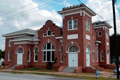 | First Methodist Church of Rockwall | building | 2007 | 07000691 |
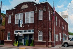 | Royse City Lodge No. 663 A.F. & A.M. | building | 1994 | 94001242 |
Drawn when these were printed as single large sheets: the town seen from the air, and the county divided into its farms with every owner named. Each opens the original at the Library of Congress.
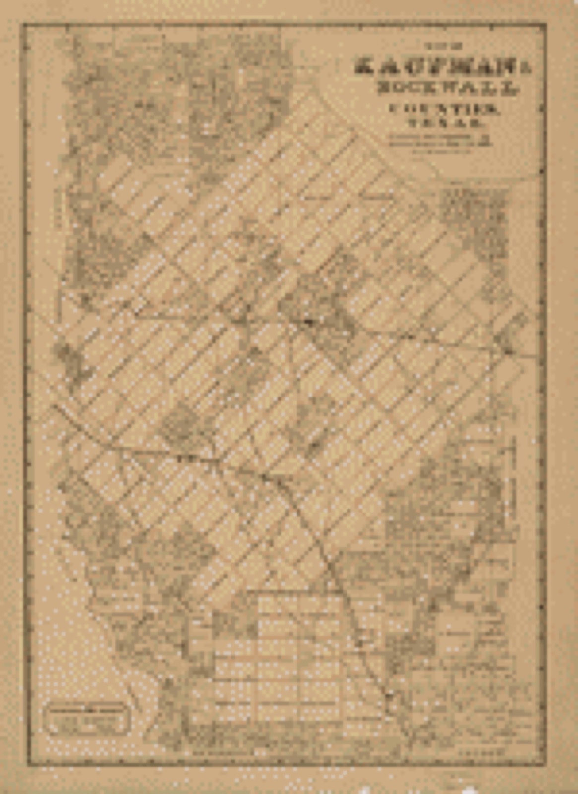
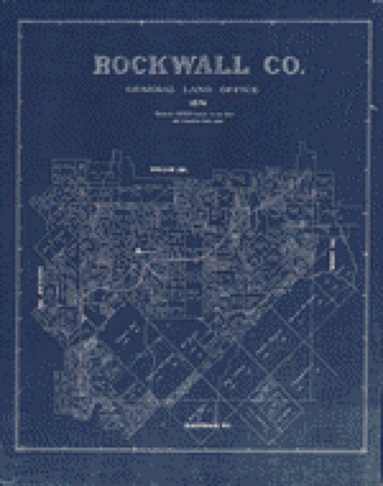
![Land ownership map, 1880 - Rockwall Co. [Texas]](assets/locview_2005625372.jpg)
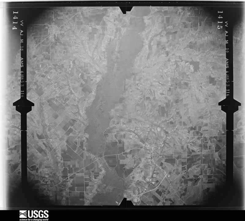
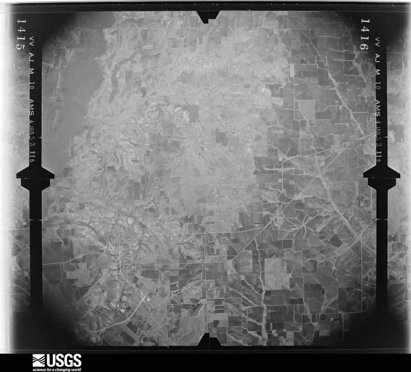
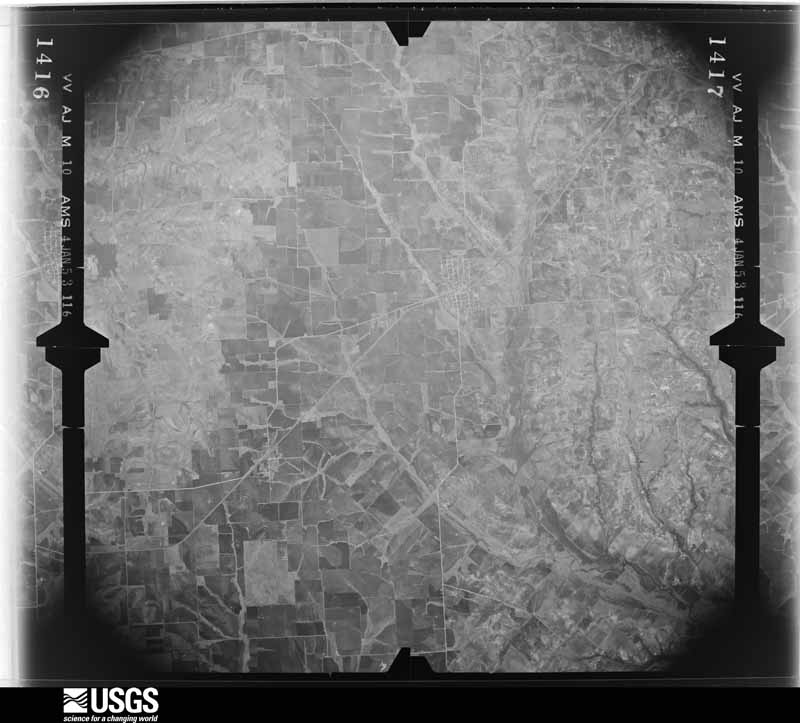
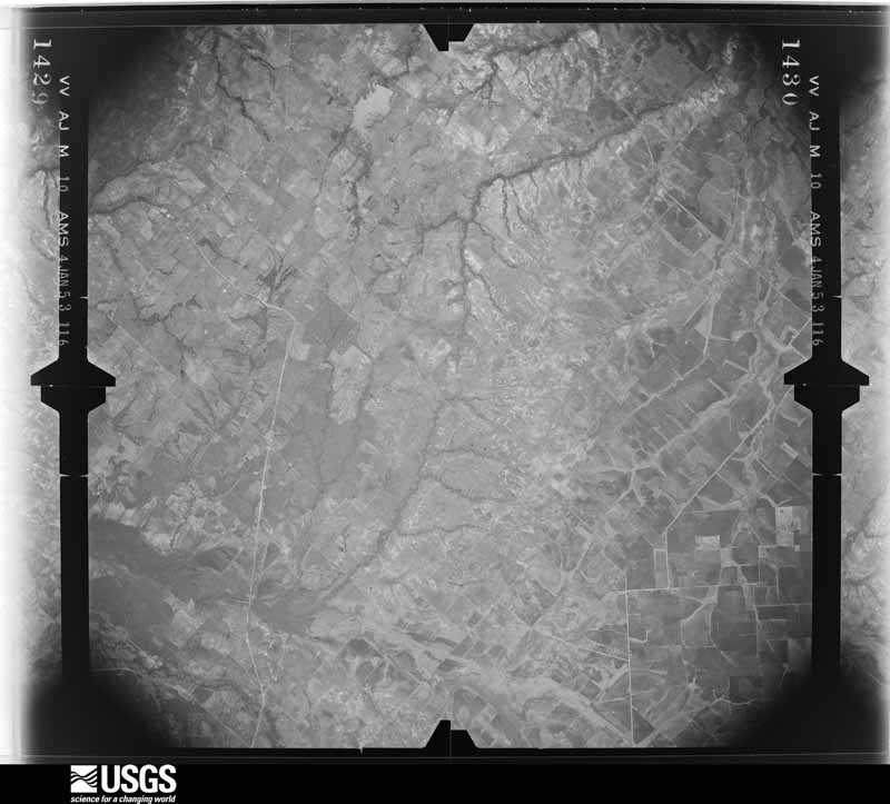
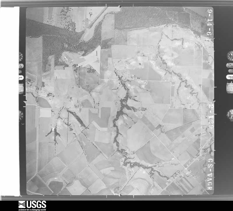
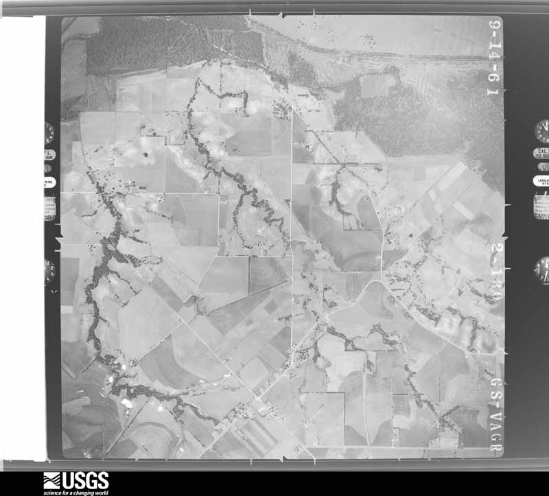
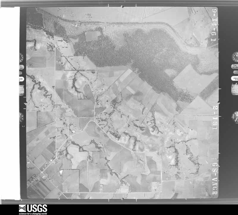
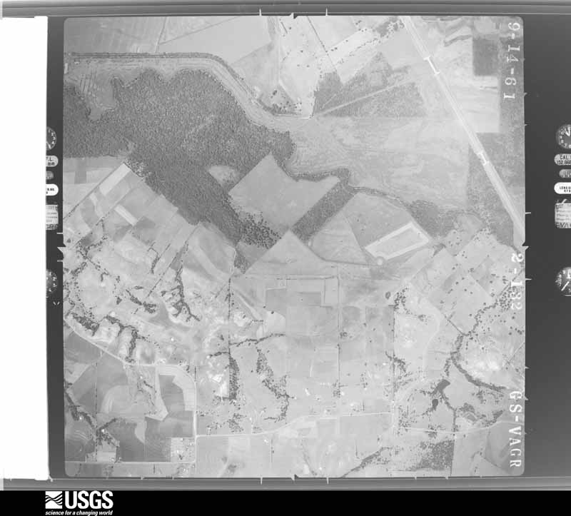
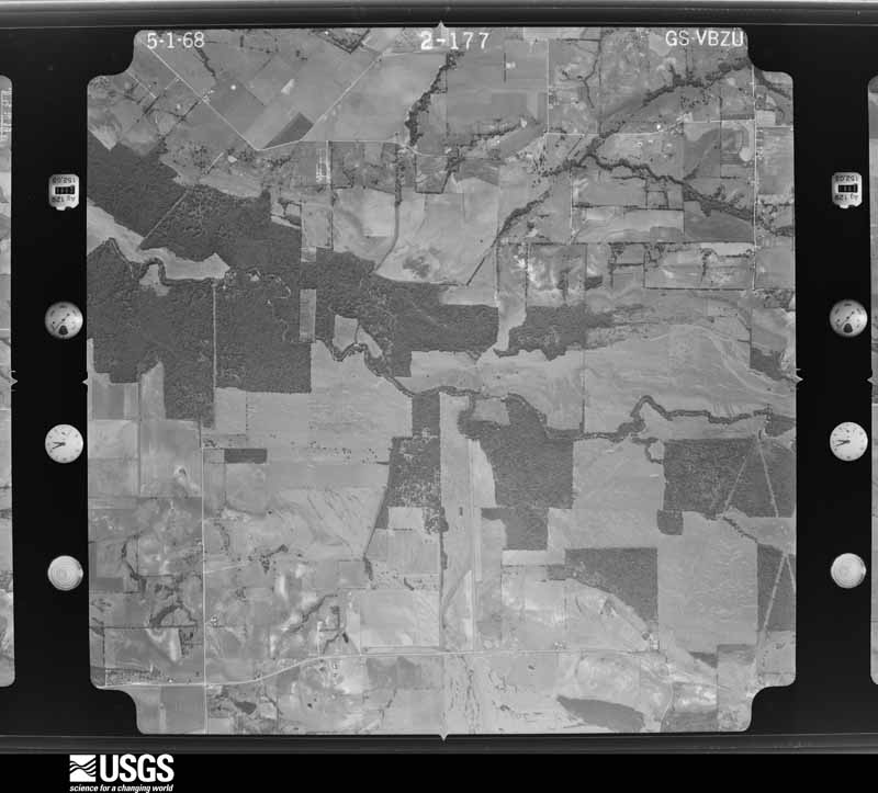
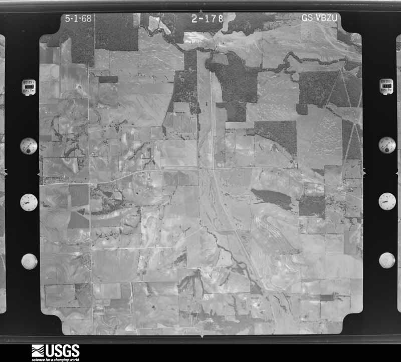
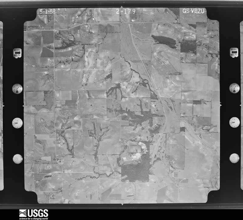
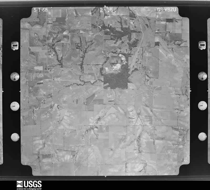
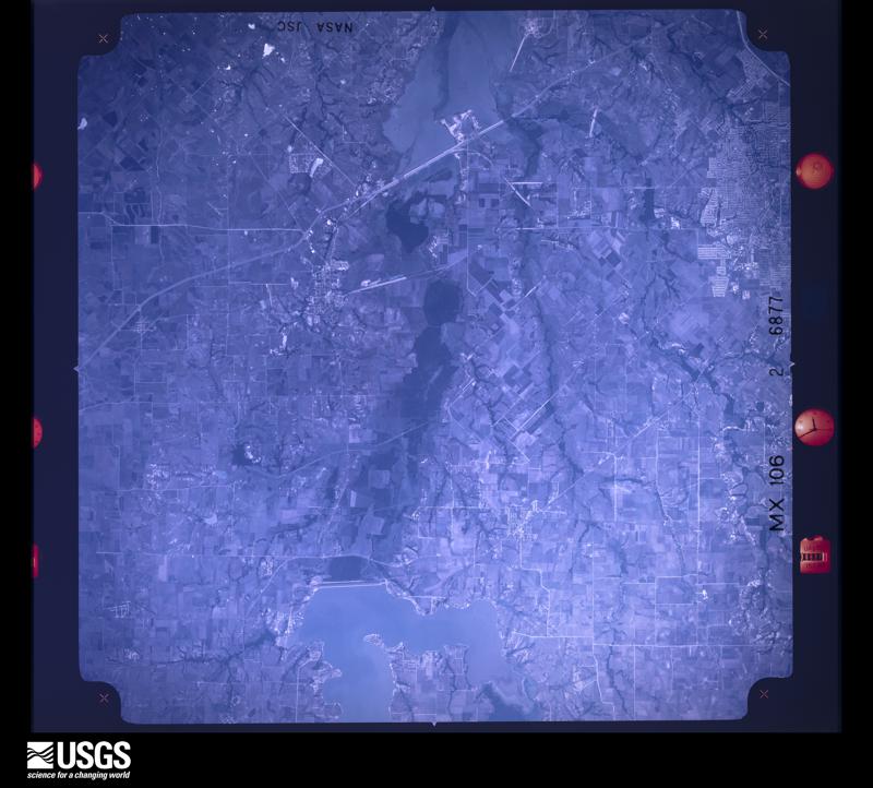
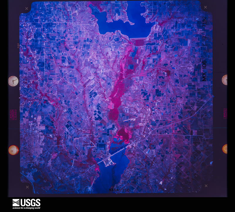
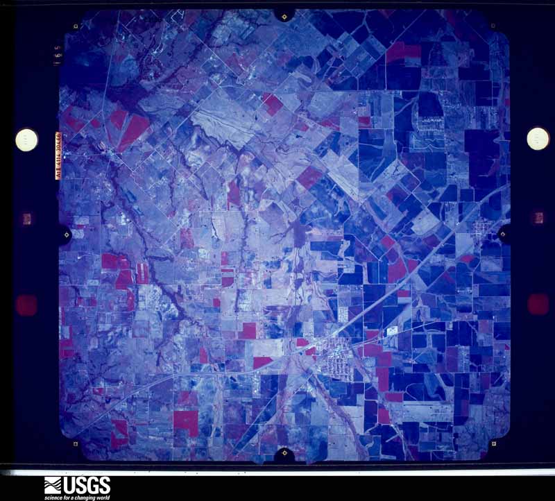
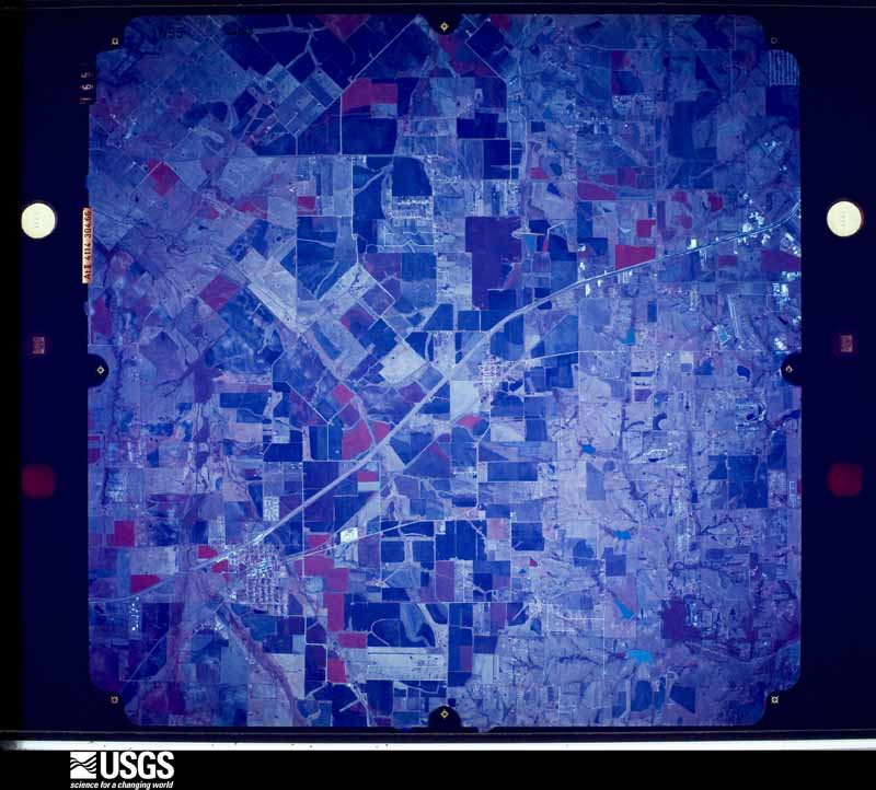
Flown by the U.S. Geological Survey between 1937 and 1989, the Aerial Photo Single Frames collection is the definitive mid-century view of the land: fields, roads and rivers as the camera saw them. The Survey holds 287 frames inside the rectangle that bounds this county; the 18 frames below were taken over the county itself, chosen across the decades of flights (at most four a year from that rectangle), so one flight cannot crowd out the rest. The full set is free to browse and download at EarthExplorer under the dataset Aerial Photo Single Frames.
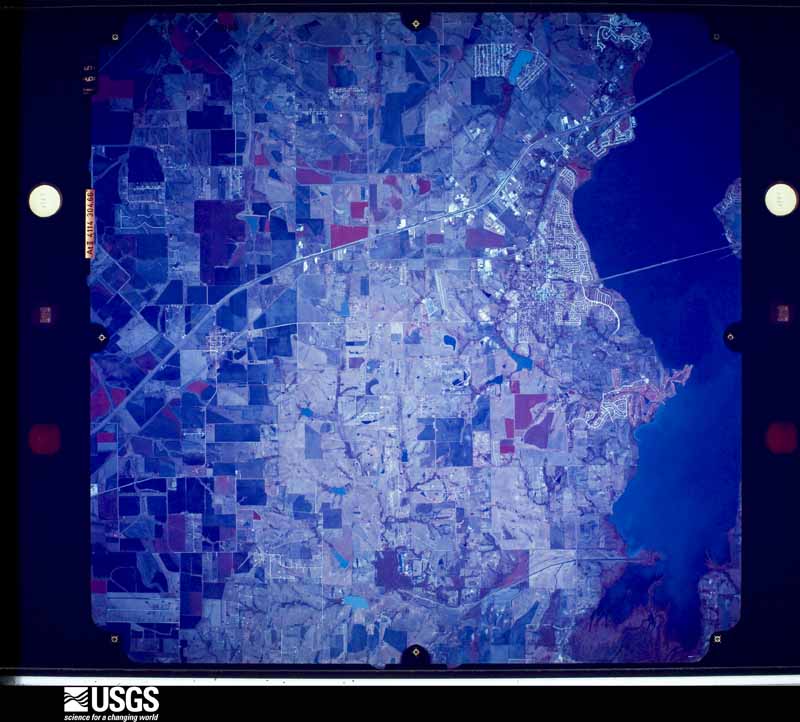
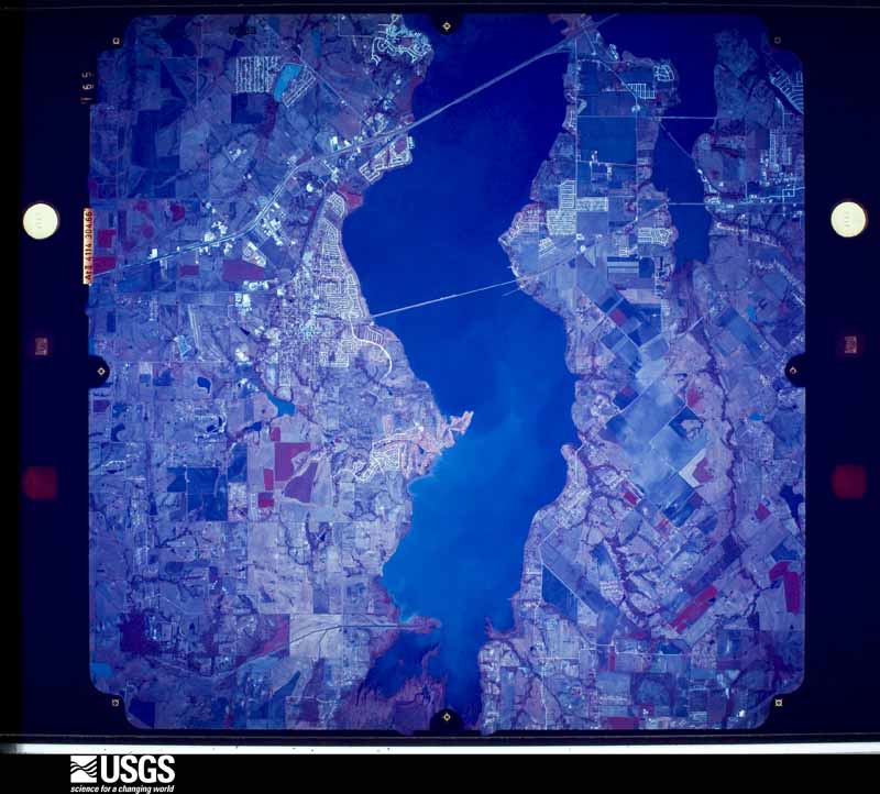
The thermometers that kept this county's weather, and the gages that measured the flow of its streams, as the federal records hold them. The extremes below are measured values from those records, not estimates.
Who lived here in 1950, one enumeration district at a time, as the Census Bureau described each district. Each row opens its official National Archives result, with Population Schedules and ED Maps available there.
Every wildfire the federal occurrence database records inside this county: 251 of them, burning about 952 acres. 3 started naturally and 1 was recorded as arson. Each settlement page carries the fires within five miles of it.
| Reported cause | Fires |
|---|---|
| Debris and open burning | 95 |
| Missing data/not specified/undetermined | 87 |
| Equipment and vehicle use | 26 |
| Misuse of fire by a minor | 14 |
| Smoking | 11 |
| Recreation and ceremony | 8 |
| Power generation/transmission/distribution | 6 |
| Natural | 3 |
| Arson/incendiarism | 1 |
The five largest, by the area the report gives. None of them was recorded as arson.
| Date | Cause | Size | Reported by | Name on the report |
|---|---|---|---|---|
| 26 December 2005 | Debris and open burning | 250 acres | Texas A & M Forest Service | not named |
| 25 November 2008 | Equipment and vehicle use | 120 acres | Texas A & M Forest Service | CHISLOM NORTH BRANCH - 128 |
| 5 August 2006 | Missing data/not specified/undetermined | 56 acres | Texas A & M Forest Service | not named |
| 5 September 2013 | Debris and open burning | 50 acres | Texas A & M Forest Service | BRUSH FIRE |
| 15 March 2018 | Equipment and vehicle use | 45 acres | Texas A & M Forest Service | FATE |
| 31 January 2016 | Debris and open burning | 40 acres | Texas A & M Forest Service | COUNTY LINE GRASS FIRE |
| 22 December 2009 | Recreation and ceremony | 25 acres | Texas A & M Forest Service | 2009-0773 |
| 31 January 2017 | Debris and open burning | 25 acres | Texas A & M Forest Service | GAIL FIRE |
Every settlement page carries the fires within five miles of it - see the settlement index below.
The NOAA Storm Events Database holds 229 reports for this county, causing no deaths, 11 injuries and about $120,656,710 in recorded property damage. Each settlement page carries the reports that name it.
| Kind of event | Reports |
|---|---|
| Hail | 92 |
| Thunderstorm Wind | 87 |
| Flash Flood | 27 |
| Tornado | 18 |
| Lightning | 2 |
| Heavy Rain | 2 |
| Flood | 1 |
The most serious of them, by death, then injury, then recorded damage. The accounts are quoted exactly as the forecast office filed them.
| When | Event | Place named | Harm | What the report says |
|---|---|---|---|---|
| April 1996 | Thunderstorm Wind | Royse City | 6 hurt, $10,000 | no account filed |
| April 2012 | Tornado (EF3) | Blackland | 3 hurt, $15,000,000 | An EF-3 tornado began in eastern Rockwall County and traveled northeast into Hunt County before lifting. The tornado touched down to the southwest of the intersection of FM 548 and Bent Rd in Rockwall County. The tornado quickly moved into a subdivision and severely damaged or destroyed several homes. The worst of the damage in this subdivision occurred along Laci Ln. Trees and shrubs northeast of these houses by a half mile or so were completely debarked and had no vegetation remaining. The tornado continued northeast and produced damage to homes along Country Manor Rd. There was one house that had a large portion of its roof/top story completely removed. A couple of small barns were also destroyed, one which contained a classic car which ended up blown into the back of a neighbors house. The tornado continued northeast where it crossed Hwy 276 and sideswiped a cabinet factory. Part of the outside metal walls were crumbled. There was an incredible amount of industrial debris downstream of this factory north of the highway. The tornado continued northeast and demolished one mobile home and damaged another right at the Rockwall/Hunt County line. In total, 8 homes in Rockwall County were deemed destroyed, 17 sustained major damage, and 8 sustained minor damage. The path length of the tornado in Rockwall County was nearly 2.4 miles, but the total path length was 3.3 miles. Maximum estimated winds were 150 mph and the tornado was approximately 400 yards wide. Three people sustained minor injuries when their doublewide mobile home was struck near the Rockwall/Hunt County line. |
| April 1996 | Thunderstorm Wind | Rockwall | 2 hurt, $400,000 | no account filed |
| April 2016 | Hail | Lake Ray Hubbard | $50,000,000 | A trained spotter reported grapefruit sized hail at Eastshore Road near Rockwall, TX. |
| April 2012 | Hail | Heath | $15,000,000 | Golf ball to baseball sized hail was reported in Heath. |
| October 2019 | Tornado (EF1) | Rockwall | $10,000,000 | Tornadic wind damage was observed in Rockwall, generally parallel with and north of US 66, from the eastern shore of Lake Ray Hubbard into northeastern Rockwall. The most intense damage was observed close to the lake, along Sunset Hill Drive where several homes sustained significant roof damage. As the path continued farther east across SH 205, damage consisted of downed trees and fences and missing shingles on roofs. Based on eyewitness accounts and video footage, a tornado, with maximum rated wind speeds of 90 mph, or EF-1 intensity was confirmed. The tornado is believed to have developed over Lake Ray Hubbard with a path length of almost 2 miles. |
| April 2016 | Hail | Rockwall | $10,000,000 | A social media report indicated 3-inch diameter hail in Rockwall, TX. |
| April 1994 | Hail | Rockwall | $5,000,000 | Golf ball- to soft ball-size hail damaged over 100 houses in southern Rockwall County. Damage was estimated at over 500,000 dollars. |
| November 1994 | Thunderstorm Wind | Royse City | $5,000,000 | Five mobile homes were destroyed, 13 sustained major damage, 42 mobile homes sustained minor damage, and power lines were blown down by high winds. Damage was estimated at $816,000. |
| April 2016 | Hail | Royse City | $2,000,000 | Amateur radio reported two-inch diameter hail in Royce City, TX. |
| April 2012 | Hail | Blackland | $1,500,000 | Hail up to the size of tea cups fell in eastern Rockwall County. This large hail was falling from the tornadic supercell that also produced the EF-2 tornado south of Royse City. |
| June 2023 | Hail | Royse City | $1,000,000 | A social media report indicated hail up to baseball size in Royse City. |
| March 2021 | Thunderstorm Wind | Lake Ray Hubbard | $1,000,000 | Video shows docks and boats detached from the Sapphire Bay marina and floating. |
| December 2015 | Tornado (EF2) | Lake Ray Hubbard | $800,000 | The Garland / Rowlett tornado continued across a small tract of land in western Rockwall County. The tornado continued doing significant damage in the City of Rowlett, before moving onto Lake Ray Hubbard and dissipating over the lake. |
| June 2009 | Lightning | Mclendon-Chisolm | $750,000 | A lightning strike started a fire at a large two-story home in McLendon-Chisolm. The second story caved into the garage and the house was destroyed. |
| March 2022 | Tornado (EF1) | Chisholm | $500,000 | A brief tornado, likely embedded within straight line winds impacted a few homes on Candice Circle to the east of McLendon-Chisholm. The tornado began near Bluebonnet Dr where a few trees were damaged. On Candice Circle, the porte-cochere of one home collapsed, and the attached roof broke off the garage. Poles were also bent around a basketball court. Next door, the tornado caused significant damage to the top floor attic of the house, moved several trailers, and destroyed a shed. The tornado continued a short distance down the road and likely lifted in the field northeast of the homes. Maximum estimated winds were 100 mph. |
| June 2023 | Hail | Rockwall | $300,000 | Several public reports showed 1-2 sized hail fell in Rockwall, TX. |
| June 2023 | Hail | Fate | $250,000 | A trained spotter reported 2.25 inch diameter hail stones near Fate, TX. |
| June 2023 | Hail | Fate | $250,000 | A public report indicated ping pong ball to hen egg sized hail near Fate, TX. |
| April 2016 | Hail | Rockwall | $250,000 | A trained spotter reported golf-ball sized hail near Highway 205 and Ralph Hall Parkway. |
| June 2023 | Hail | Rockwall | $250,000 | no account filed |
| June 2023 | Hail | Royse City | $200,000 | A trained spotter measured golf ball to ping pong ball sized hail stones in Royse City, near the intersection of FM 548 and Rowdy Dr. |
| April 1997 | Thunderstorm Wind | Rockwall | $150,000 | A marina received major damage from strong winds. |
| December 2022 | Hail | Chisholm | $100,000 | Emergency management reported tennis ball sized hail near McLendon-Chisolm, TX in Rockwall County. |
| March 2017 | Thunderstorm Wind | Rockwall | $100,000 | Several media outlets filmed the aftermath of significant damage to homes in the northern parts of Rockwall. In particular were homes in a subdivision east of John King Blvd and south of FM 552. |
| May 1998 | Thunderstorm Wind | Royse City | $100,000 | Thunderstorm winds destroyed a barn, blew a roof off of a house, damaged two other houses, and rolled a travel trailer. |
| August 2012 | Thunderstorm Wind | Royse City | $50,000 | A church that was being built on Erby Campbell Blvd in Royse City was knocked down by strong thunderstorm winds. Only the wood frame of the building was in place at the time. |
| September 2010 | Tornado (EF0) | Heath | $50,000 | A tornado caused mainly roof damage to several brick homes on the southeast side of Lake Ray Hubbard near Heath. Another home had its chimney knocked over and some large tree damage also occurred along the path of this tornado. The winds were estimated to be between 85-95 mph. |
| May 1998 | Thunderstorm Wind | Rockwall | $50,000 | Thunderstorm winds downed carports, signs, and powerlines. |
| May 1997 | Lightning | Rockwall | $40,000 | Lightning struck a house and caused a fire that resulted in considerable damage. |
| April 1996 | Thunderstorm Wind | Rockwell Muni Arpt | $40,000 | no account filed |
| April 2007 | Tornado (EF0) | Royse City | $35,000 | The tornado touched down just east of the intersection of Highways 548 and 276. Two barns were completely destroyed and fences were downed. Estimated wind speeds were 80 MPH. |
| April 2026 | Hail | Rowlett | $25,000 | Emergency manager reported 2 inch hail in Rowlett. |
| October 2014 | Thunderstorm Wind | Fate | $25,000 | Fire and rescue reported that about a dozen homes were damaged within the 100 Block of Jerome Prairie and 200 block of Cottonwood. |
| May 1999 | Flash Flood | Rockwall | $25,000 | A bridge at State Highway 205 collapsed from the pressure of debris against the structure. Some of the debris collected from heavy rains that also fell the previous day. |
| June 1997 | Thunderstorm Wind | Rockwall | $25,000 | Strong winds removed the roof of a house near the lake. |
| May 1972 | Tornado (F1) | not stated | $25,000 | no account filed |
| April 1970 | Tornado (F2) | not stated | $25,000 | no account filed |
| April 2026 | Hail | Chisholm | $20,000 | Trained spotter reported 2 inch hail near McLendon-Chisholm. |
| April 2026 | Hail | Fate | $20,000 | Large hail reported in Fate. Exact hail size was unknown, but the hail was large enough to leave holes in a metal roof on a property near the Brookshires. |
| April 2026 | Hail | Blackland | $20,000 | Report of 2 inch hail from mPING. |
| March 2022 | Thunderstorm Wind | Chisholm | $20,000 | Thunderstorm winds damaged roofs, garage buildings, and porches to the south of McLendon Chisholm. A short tornado developed soon after. |
| May 2007 | Thunderstorm Wind | Royse City | $20,000 | Numerous trees and power lines downed. |
| May 1997 | Thunderstorm Wind | Rockwall | $20,000 | Strong winds damaged roofs and trees. |
| March 1995 | Thunderstorm Wind | Heath | $20,000 | High winds caused roof and window damage. |
| May 2024 | Thunderstorm Wind | Blackland | $15,000 | Broken trees, roof damage, and a collapsed carport were reported on Weldon Lane in Royse City. |
| June 2014 | Thunderstorm Wind | Rockwell Muni Arpt | $15,000 | Thunderstorm wind estimated near 60 mph caused minor damage to the roofs of 3 or 4 homes and 2 businesses near the Rockwall/Fate city border. The location of damage was just north of Interstate 30 and just east of FM 549. |
| April 1995 | Thunderstorm Wind | Royse City | $15,000 | High winds damaged a power transmission tower. |
| June 1996 | Thunderstorm Wind | Rockwall | $15,000 | no account filed |
| May 2024 | Thunderstorm Wind | Rockwall | $12,000 | Large trees branches were knocked down in Rockwall. Power outages were also reported throughout the county. |
| October 2019 | Tornado (EF1) | Rockwall | $10,000 | This entry is a continuation of the Rowlett tornado that began in Dallas County: The onset of damage with this tornado path began along Larkin Lane in Rowlett with a few trees and roofs damaged. The track continued east northeast with the greatest intensity of damage observed in the 4600 block of Hilcox Road just before PGBT where one home lost most of the roof, saw severe windows damaged, and the garage exterior walls collapsed. Several metal outbuildings and barns on this and adjacent properties were also severely damaged or destroyed. Multiple trees were snapped or uprooted along with power poles collapsed. The tornado moved over the east side of the PGBT where several houses and barns sustained significant roof damage or shingles removed. The damage track continued north/northeast near the Pleasant Valley neighborhood. A video shows this tornado as it was over Lake Ray Hubbard where it likely lifted before reaching the far shore. Maximum estimated winds were 100 mph with this tornado. |
| April 2018 | Hail | Rockwall | $10,000 | Amateur radio reported golf ball sized hail in the city of Rockwall, TX. |
| April 2026 | Hail | Rockwall | $7,000 | Amateur radio operator reported 1.75 inch hail just south of Rockwall. |
| April 2026 | Hail | Rockwall | $7,000 | Report of 1.75 inch hail from mPING. |
| May 2009 | Thunderstorm Wind | Lake Ray Hubbard | $7,000 | A spotter estimated 60 mph winds in Rowlett. |
| May 2009 | Flash Flood | Royse City | $7,000 | The Sheriff's Office reported a truck stuck in high water on HWY 66 in Royse City. The water depth was unknown. |
| January 2025 | Flash Flood | Royse City | $5,000 | Royse City PD reported multiple flooded roadways in the city including FM 2642 by Verandah, Hwy 66 east of the police station, Crenshaw Road, FM 548 south of Waterscape, and Shaw Road between FM 2652 and FM 35. |
| February 2023 | Thunderstorm Wind | Rockwall | $5,000 | Wind damage was reported along Washington Street in Rockwall. Damage to athletic field fences, broken tree limbs, and wooden sheds were damaged. |
| December 2015 | Thunderstorm Wind | Rockwell Muni Arpt | $5,000 | The automated weather station at Rockwall Municipal Airport reported a 54 kt wind gust. In the area, damage to fences and carports was reported. |
| September 2005 | Thunderstorm Wind | Rockwall | $5,000 | Trees and power lines down. |
Named settlements recorded in the Geographic Names Information System, each with the topographic sheets covering it. Villages, hamlets and abandoned places alike. Each is shown with the nearest named watercourse or landform and the survey quadrangle it falls on.
South Rockwall census division · 75032 · On Hackberry Creek · Terrell North quadrangle
10 sheets, 1919 to 1986
South Rockwall census division · 75032 · On Hackberry Creek · Forney North quadrangle
13 sheets, 1919 to 1995
Northeast Rockwall census division · 75087 · Rockwall quadrangle
16 sheets, 1912 to 1995
South Rockwall census division · 75189 · On Sabine Creek · Royse City quadrangle
11 sheets, 1919 to 1986
Northeast Rockwall census division · 75189 · On Bois d'Arc Creek · Royse City quadrangle
11 sheets, 1919 to 1986