 Block
BlockFrom the record
4 National Register listings published here.
Sources: the National Register database, National Park Service
74 topographic sheets cover 18 settlements here, and 4 properties are on the National Register of Historic Places.
4 National Register listings published here.
Sources: the National Register database, National Park Service
Every property in this county listed on the National Register of Historic Places, with the year it was listed and the federal nomination document.
| Photograph | Property | Type | Listed | Reference |
|---|---|---|---|---|
 | Ballinger Carnegie Library | building | 1975 | 75002002 |
 | Edwin and Hattie Day House | building | 1985 | 85000047 |
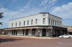 | J. Thiele Building | building | 1976 | 76002061 |
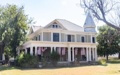 | Van Pelt House | building | 1980 | 80004146 |
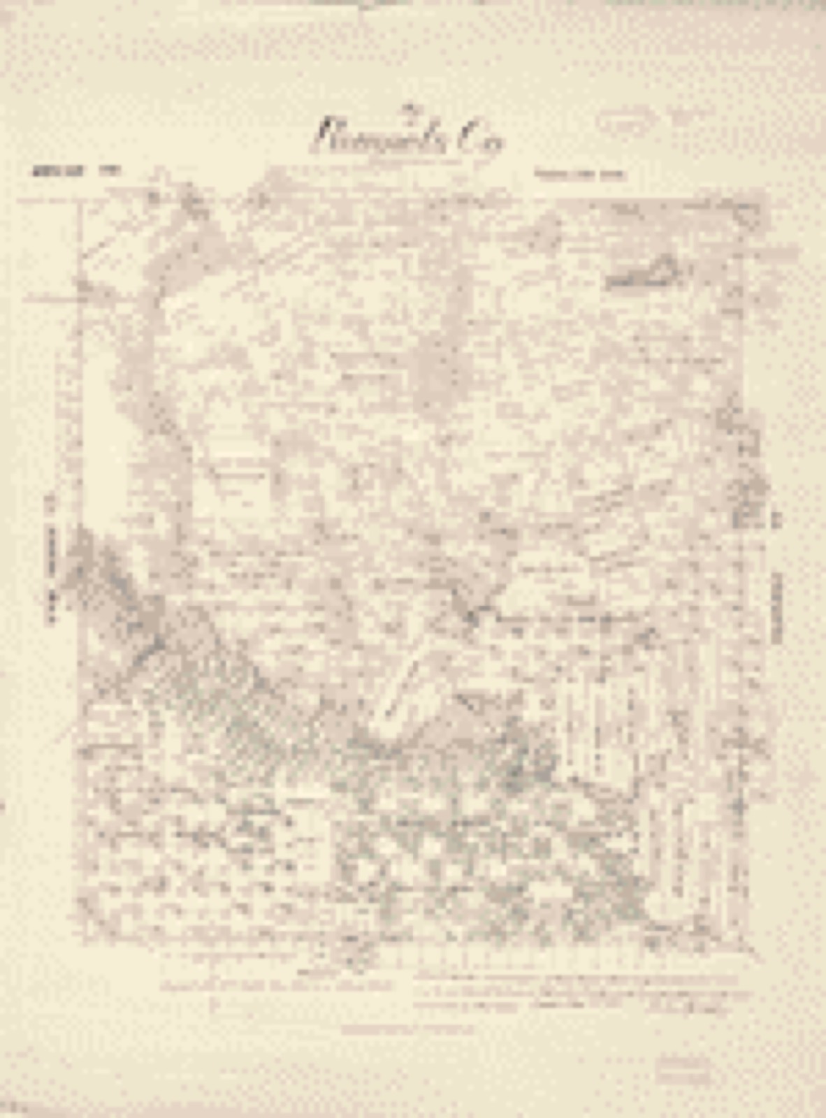
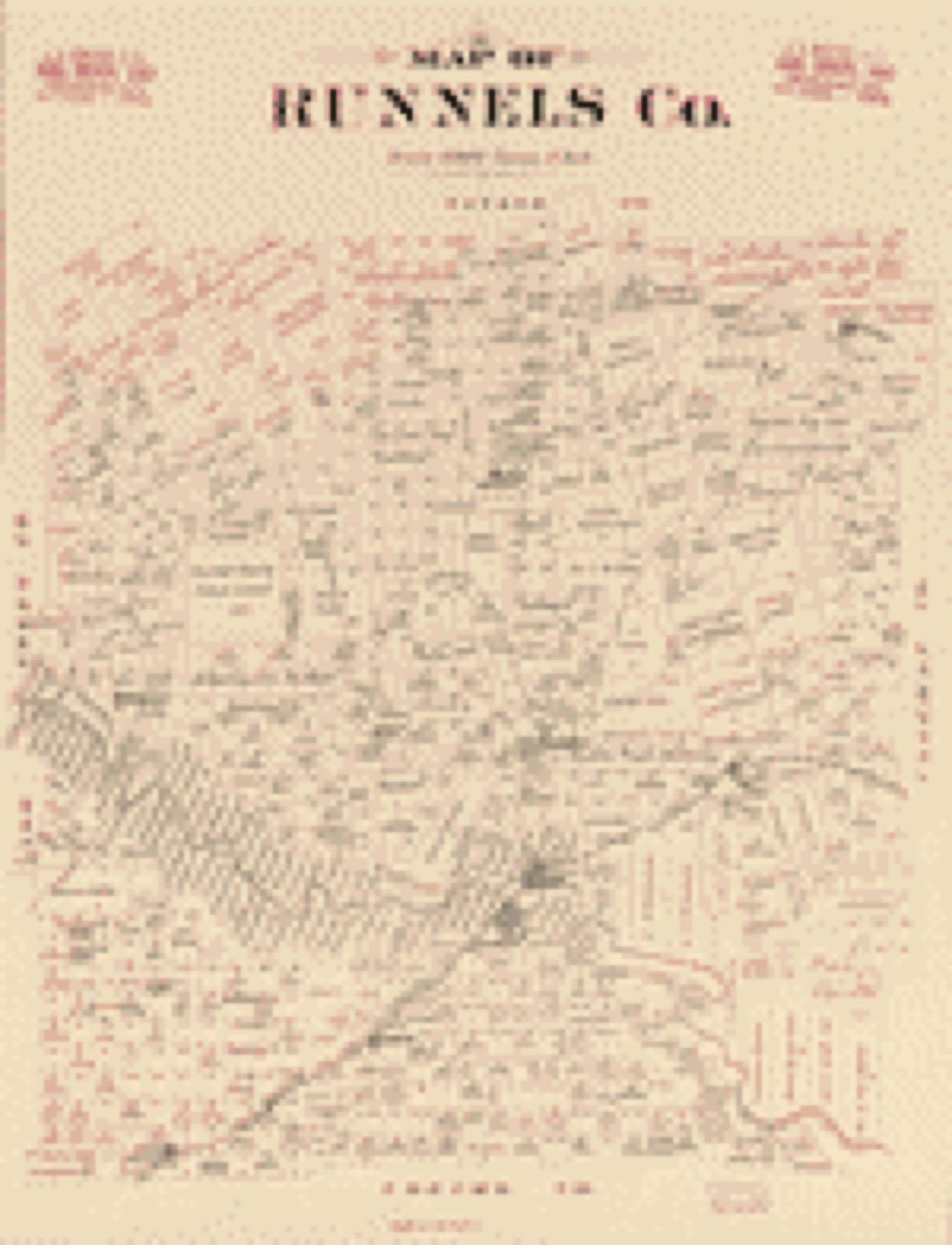
Drawn when these were printed as single large sheets: the town seen from the air, and the county divided into its farms with every owner named. Each opens the original at the Library of Congress.

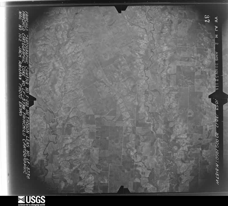
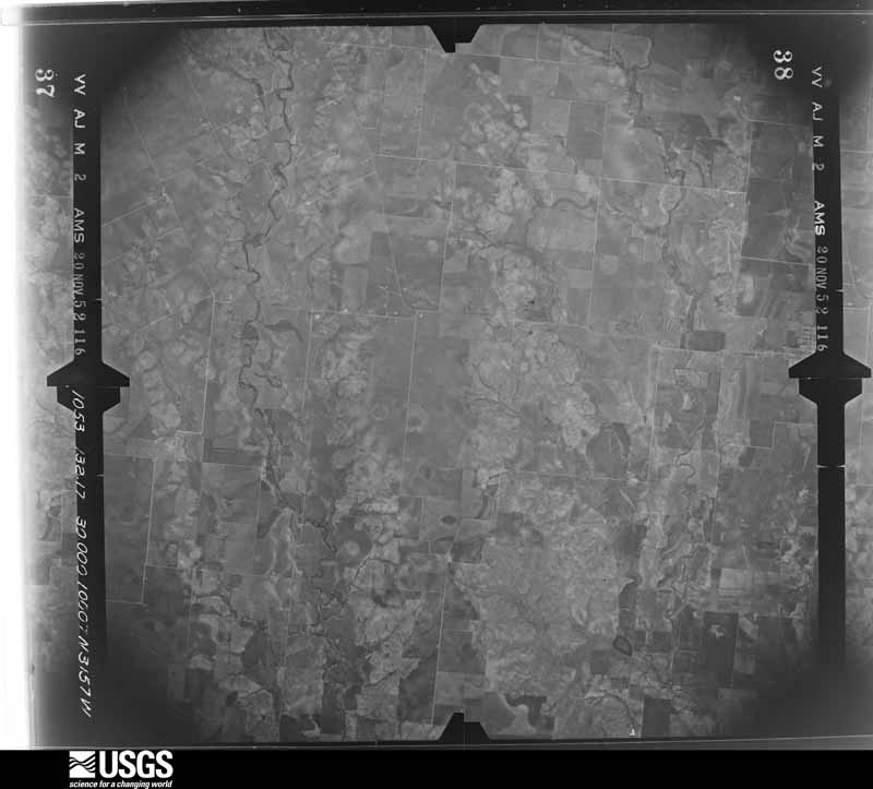
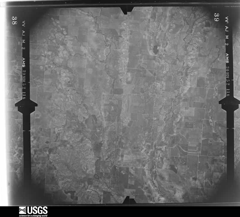
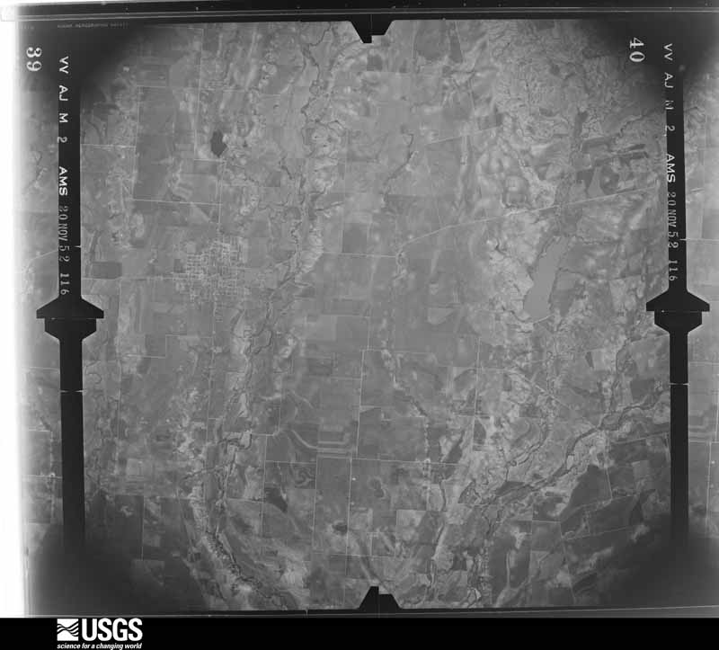
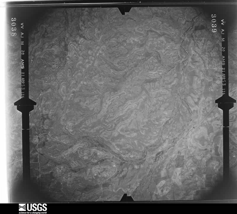
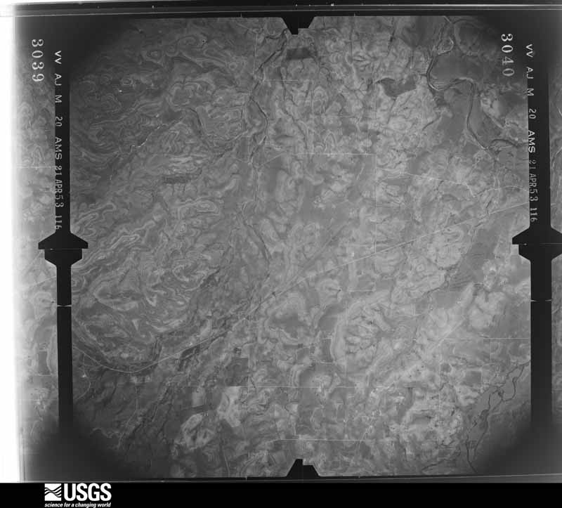
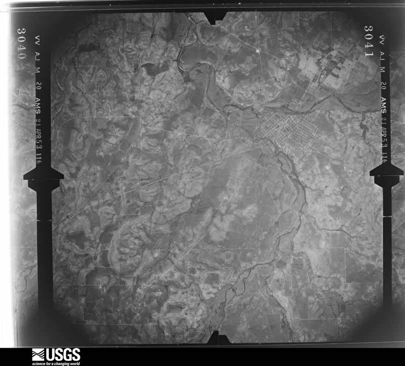
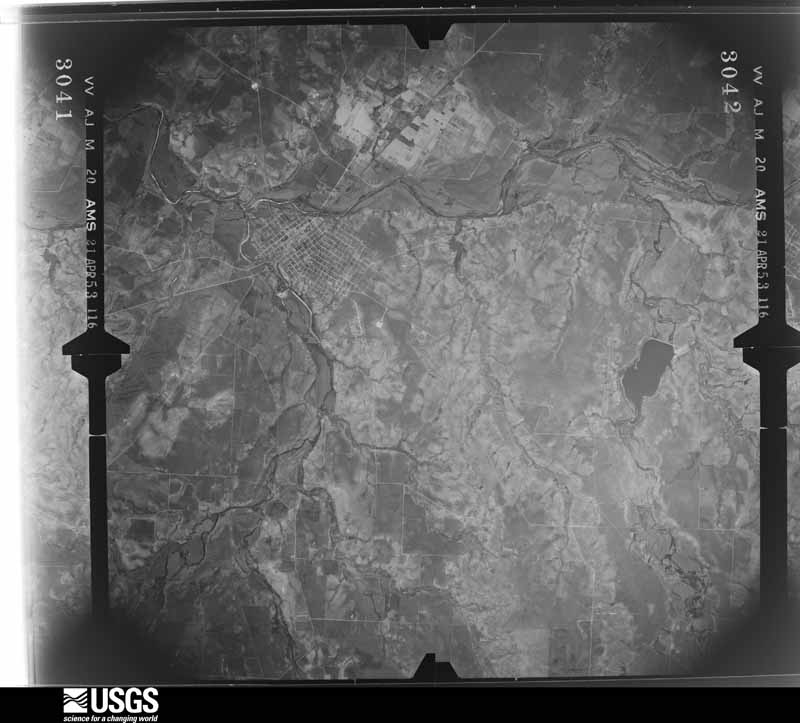
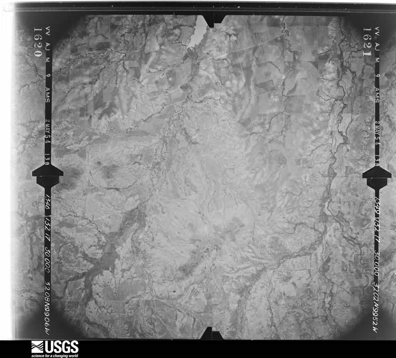
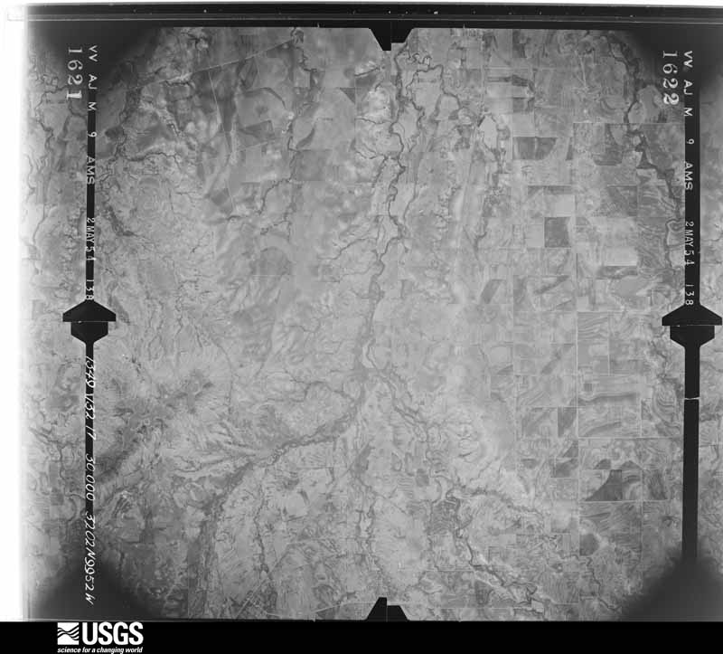
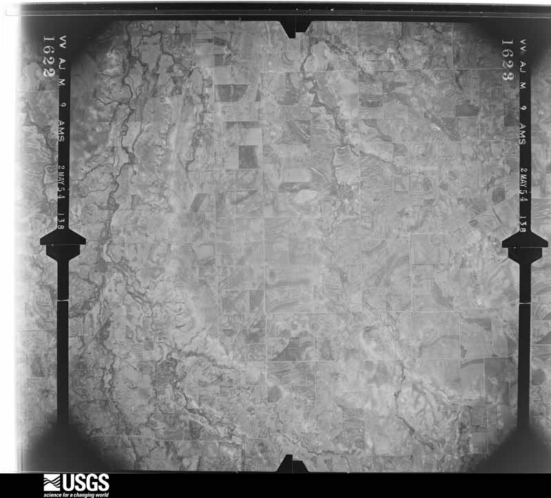
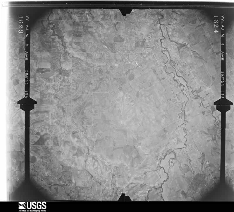
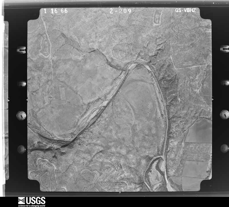
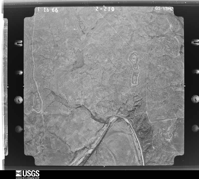
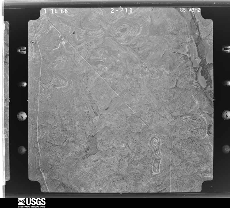
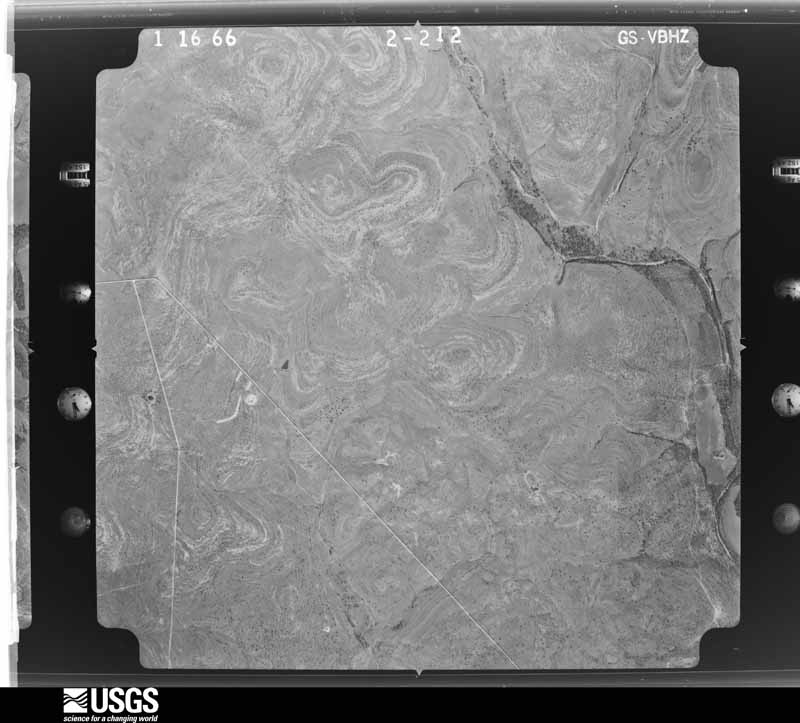
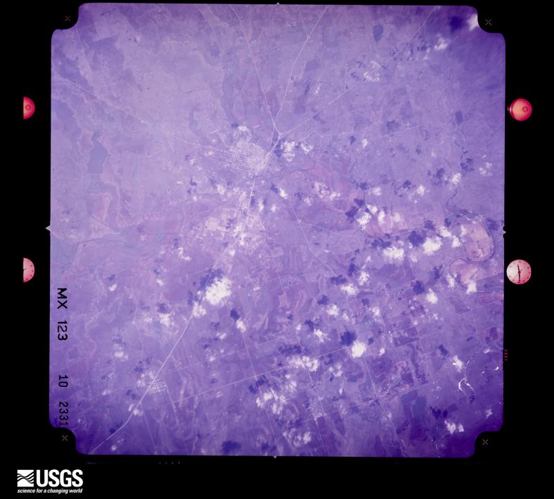
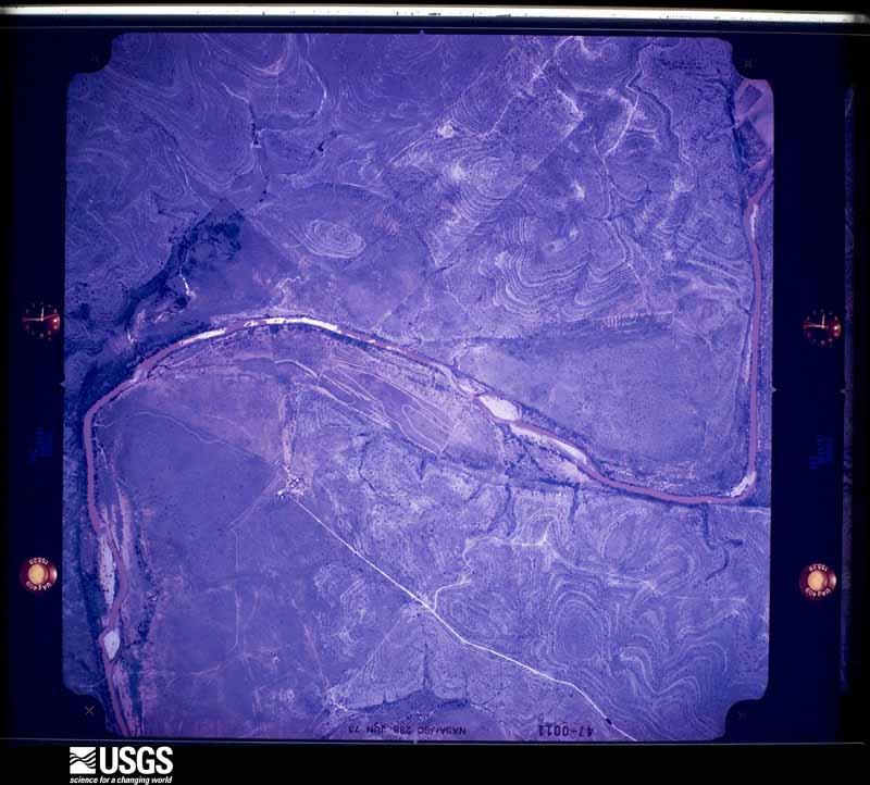
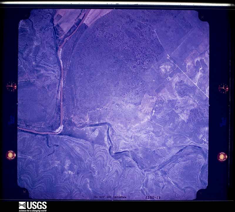
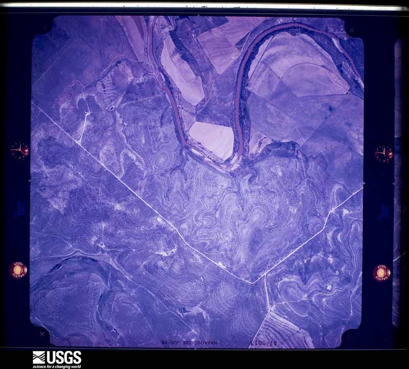
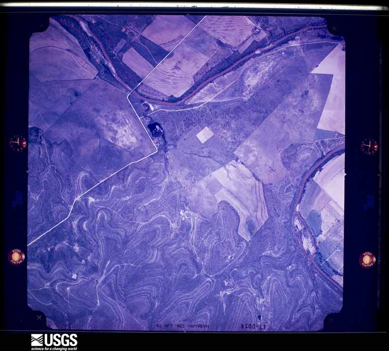
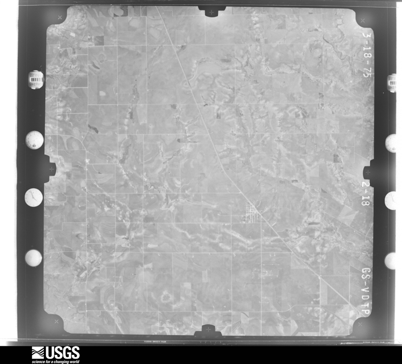
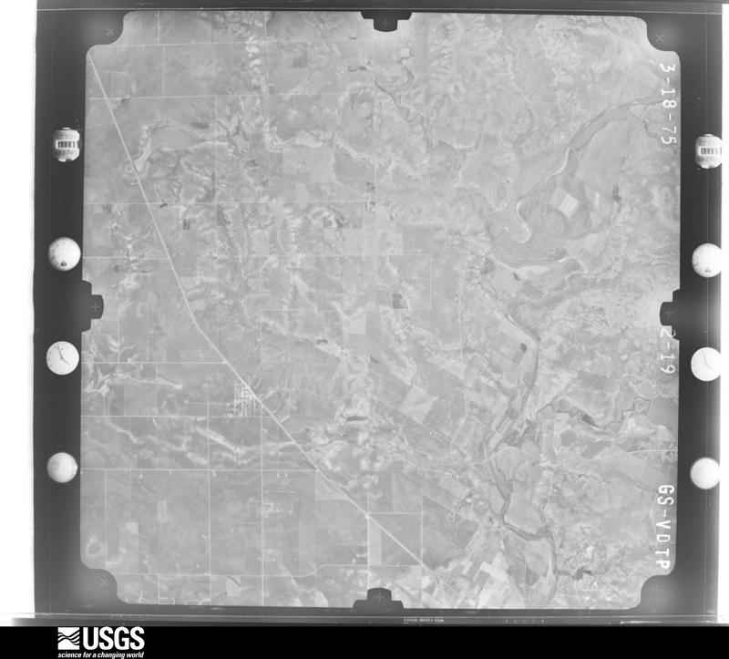
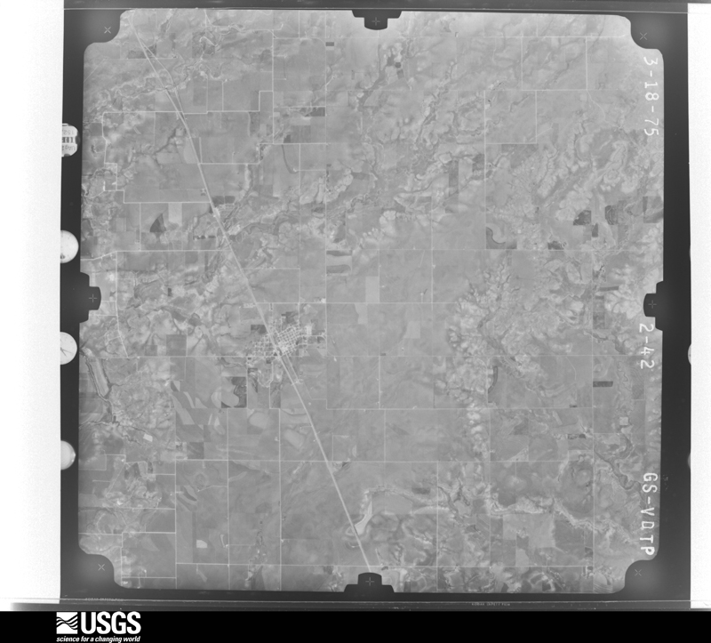
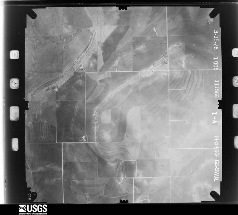
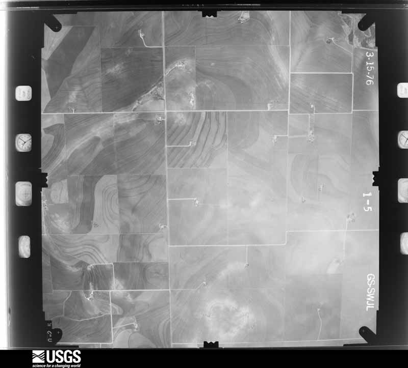
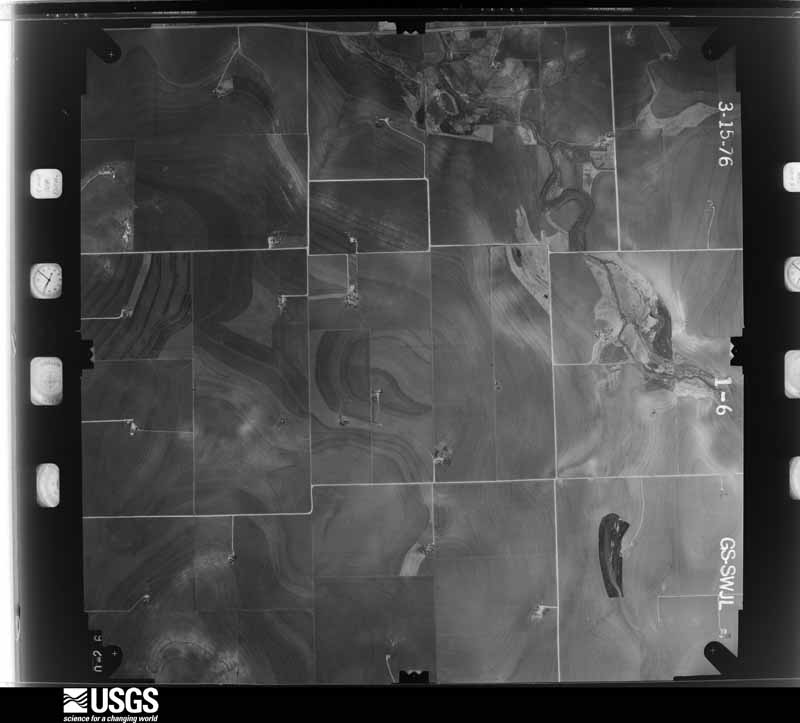
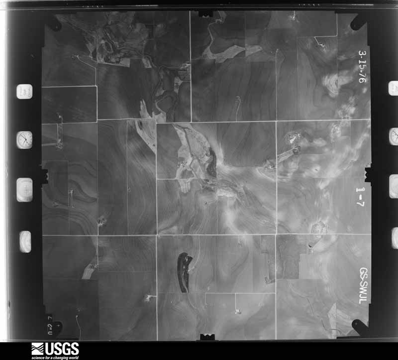
Flown by the U.S. Geological Survey between 1937 and 1989, the Aerial Photo Single Frames collection is the definitive mid-century view of the land: fields, roads and rivers as the camera saw them. The Survey holds 1,043 frames inside the rectangle that bounds this county; the 35 frames below were taken over the county itself, chosen across the decades of flights (at most four a year from that rectangle), so one flight cannot crowd out the rest. The full set is free to browse and download at EarthExplorer under the dataset Aerial Photo Single Frames.







The thermometers that kept this county's weather, and the gages that measured the flow of its streams, as the federal records hold them. The extremes below are measured values from those records, not estimates.
Who lived here in 1950, one enumeration district at a time, as the Census Bureau described each district. Each row opens its official National Archives result, with Population Schedules and ED Maps available there.
Every wildfire the federal occurrence database records inside this county: 147 of them, burning about 6,864 acres. 17 started naturally and 3 were recorded as arson. Each settlement page carries the fires within five miles of it.
| Reported cause | Fires |
|---|---|
| Missing data/not specified/undetermined | 64 |
| Debris and open burning | 33 |
| Equipment and vehicle use | 20 |
| Natural | 17 |
| Power generation/transmission/distribution | 4 |
| Arson/incendiarism | 3 |
| Misuse of fire by a minor | 2 |
| Smoking | 1 |
| Railroad operations and maintenance | 1 |
| Firearms and explosives use | 1 |
| Recreation and ceremony | 1 |
The five largest, by the area the report gives. None of them was recorded as arson.
| Date | Cause | Size | Reported by | Name on the report |
|---|---|---|---|---|
| 19 September 2017 | Natural | 1,115 acres | Texas A & M Forest Service | KIRBY RANCH |
| 14 June 2020 | Firearms and explosives use | 1,001 acres | Texas A & M Forest Service | WEHMEYER |
| 4 August 2005 | Natural | 1,000 acres | Texas A & M Forest Service | not named |
| 24 February 2009 | Missing data/not specified/undetermined | 500 acres | Texas A & M Forest Service | KING EDMONDSON |
| 24 August 2019 | Natural | 314 acres | Texas A & M Forest Service | CRM |
| 3 April 2010 | Missing data/not specified/undetermined | 300 acres | Texas A & M Forest Service | BRAGG''S CORNER |
| 27 June 2010 | Natural | 200 acres | Texas A & M Forest Service | RUNNELS CO MUTUAL AID |
| 26 April 2011 | Missing data/not specified/undetermined | 200 acres | Texas A & M Forest Service | HAMBURGER HILL FIRE |
Every settlement page carries the fires within five miles of it - see the settlement index below.
The NOAA Storm Events Database holds 520 reports for this county, causing 1 death, 6 injuries and about $25,325,780 in recorded property damage. Each settlement page carries the reports that name it.
| Kind of event | Reports |
|---|---|
| Hail | 300 |
| Thunderstorm Wind | 127 |
| Tornado | 54 |
| Flash Flood | 27 |
| Funnel Cloud | 4 |
| Flood | 4 |
| Lightning | 2 |
| Heavy Rain | 2 |
The most serious of them, by death, then injury, then recorded damage. The accounts are quoted exactly as the forecast office filed them.
| When | Event | Place named | Harm | What the report says |
|---|---|---|---|---|
| September 2024 | Flash Flood | Miles | 1 killed | Law Enforcement received a call of a fatality from flash flooding. A man was swept away by swiftly flowing water. |
| March 1982 | Tornado (F3) | not stated | 4 hurt, $2,500,000 | no account filed |
| May 1965 | Tornado (F2) | not stated | 1 hurt, $2,500 | no account filed |
| April 1954 | Tornado (F1) | not stated | 1 hurt | no account filed |
| May 2002 | Thunderstorm Wind | Winters | $15,000,000 | Very high thunderstorm winds along with baseball size hail produced widespread damage across the town of Winters. Numerous windows were broken out by the wind and hail. Numerous trees were also reported blown down by the high winds. |
| May 2019 | Tornado (EF3) | Miles | $6,000,000 | This long track EF-3 Tornado damaged or destroyed several homes and outbuildings. |It snapped tree trunks and even swept one home completely off its foundation. The tornado wrapped a woman in carpet and threw her for 150 feet. Thankfully, she survived with minimal injuries. This tornado was multi-vortex at times as it also remained mostly in rural areas. It even lodged a steel C-Purlin into a branch of a Mesquite tree at the Ballinger Country Club. This tornado destroyed the Ballinger High school Baseball field and threw a steel axle into the water tower and punctured it, causing all of the water to drain. This tornado affected 30 homes and destroyed six homes. |
| March 1982 | Tornado (F2) | not stated | $250,000 | no account filed |
| June 1982 | Tornado (F2) | not stated | $250,000 | no account filed |
| June 1996 | Thunderstorm Wind | Ballinger | $100,000 | no account filed |
| June 1996 | Thunderstorm Wind | Winters | $100,000 | no account filed |
| September 1996 | Flash Flood | Winters | $100,000 | no account filed |
| May 2002 | Thunderstorm Wind | Ballinger | $90,000 | Strong thunderstorm winds blew a tree onto a truck. A few outbuildings were also destroyed. |
| August 1997 | Thunderstorm Wind | Hatchel | $75,000 | no account filed |
| March 2020 | Thunderstorm Wind | Ballinger | $70,000 | National Weather Service surveyed damage northwest of Ballinger. They found evidence of damaging straight line west winds estimated at 80 to 90 mph. These damaging winds impacted mostly rural property about 5.5 miles northwest of Ballinger to Hatchel. The swath of wind damage was about 2.5 miles wide and 5 miles long. The powerful thunderstorm winds damaged about 34 power poles, caused roof damage to a barn, destroyed a shed, removed some vinyl siding from a home, moved some hay trailers, uprooted a tree, broke numerous tree limbs, and damaged an irrigation pivot system. |
| July 1998 | Thunderstorm Wind | Miles | $55,000 | A microburst damaged a grain elevator and cotton gin, destroyed 2 empty grain silos, and damaged numerous roofs and carports across the community of Miles. One exterior wall of a house was penetrated by a two-by-four from a carport damaged nearby. Wind speeds were estimated at 80 mph. |
| June 1997 | Flash Flood | Ballinger | $50,000 | Six inches of rain fell in Ballinger in a three to four hour period. City streets and roads throughout the county were flooded. |
| September 1993 | Thunderstorm Wind | Winters | $50,000 | The Runnels County Sheriff's Office reported that the roof of a mobile home was torn off, a pump house was damaged and trees were downed 5 miles south of Winters. |
| October 1993 | Thunderstorm Wind | Ballinger | $50,000 | Golfball-size hail was reported in Norton by a weather spotter at the water plant at 1738 CST. The Ballinger Police Department reported golfball-size hail at the Ballinger city park at 1750 CST. The Runnels County Emergency Management Coordinator reported trees uprooted and downed power poles in Ballinger at 1810 CST. |
| August 1996 | Flash Flood | Winters | $50,000 | no account filed |
| May 1994 | Thunderstorm Wind | Ballinger | $50,000 | no account filed |
| May 2012 | Lightning | Ballinger | $45,000 | A lightning strike knocked out the Runnels County dispatch communications system. |
| September 1996 | Thunderstorm Wind | Wingate | $45,000 | no account filed |
| April 2007 | Tornado (EF0) | Ballinger Bruce Arpt | $25,000 | This tornado started near highway 67 southwest of Ballinger and moved to the east southeast. The tornado lifted just to the southe of Bruce Field airport. Damage was limited to mainly tin roofs and trees. However a tractor trailer was overturned and two hangers at the airport were damaged as well. The tornado also killed some livestock as well. |
| March 2002 | Tornado (F1) | Wilmeth | $25,000 | A tornado touched down along Ranch Road 384 in northeast Runnels County, striking and damaging a house. Part of the roof was torn off, allowing rainwater to enter the building. |
| July 1990 | Tornado (F1) | not stated | $25,000 | no account filed |
| September 1988 | Tornado (F1) | not stated | $25,000 | no account filed |
| September 1986 | Tornado (F1) | not stated | $25,000 | no account filed |
| September 1976 | Tornado (F2) | not stated | $25,000 | no account filed |
| April 1976 | Tornado (F3) | not stated | $25,000 | no account filed |
| May 1995 | Hail | Norton | $20,000 | no account filed |
| May 2007 | Thunderstorm Wind | Hatchel | $15,000 | Five telephone poles were knocked down during strong thunderstorm winds. |
| May 2005 | Lightning | Ballinger | $15,000 | Lightning set a barn on fire. |
| March 2004 | Thunderstorm Wind | Wingate | $15,000 | Several large trees were uprooted and roof damage occurred to several homes in the community of Wingate. It was determined that these strong winds were the result of a rear flank down burst from a super cell thunderstorm that moved just north of the community. |
| April 2007 | Thunderstorm Wind | Winters | $12,000 | Thunderstorm winds knocked over a tree onto a Veterinary clinic. Other damage was noted near Elm Lake as well. |
| April 2007 | Hail | Ballinger | $10,000 | Golfball size hail and 75 mph winds were reported in Ballinger as a supercell moved across the city. |
| May 2002 | Hail | Wingate | $10,000 | A severe thunderstorm moved over northern Runnels County producing two inch diameter hail in the town of Wingate. |
| June 2007 | Flash Flood | Winters | $9,000 | Winters Fire Department performed a high water rescue of a motorist whose vehicle was swept off County Road 300 just northwest of Winters. The fire department also reported numerous flooded roads in and around Winters. |
| August 2005 | Flash Flood | Winters | $9,000 | Runnels and Winters law enforcement officials reported up to a foot of water flooding streets in the town of Winters. Several vehicles stalled out in the flood waters. |
| May 2007 | Tornado (EF0) | Maverick | $8,000 | A tornado briefly touched down and destroyed a barn. No other damage was noted. |
| October 2004 | Thunderstorm Wind | Ballinger | $8,000 | Tractor trailer was jacknifed due to the winds. |
| February 2004 | Thunderstorm Wind | Ballinger | $7,000 | An isolated severe thunderstorm went through the southeastern tip of Runnels County and Southwest Coleman County along Lake Ivie. Damage was limited to pole barns and camper shelters at a camp near the lake. Wind gusts were measured at 77 MPH at one location and 59 MPH at another. |
| June 2003 | Thunderstorm Wind | Ballinger | $6,000 | Serveral power lines and trees blown down. |
| April 2007 | Thunderstorm Wind | Ballinger | $5,000 | Trained spotter reported 75 mph winds and golfball size hail. |
| April 2002 | Thunderstorm Wind | Winters | $5,000 | A severe thunderstorm produced high winds across Winters in northern Runnels County, downing a handful of large trees. |
| May 2001 | Thunderstorm Wind | Winters | $5,000 | High winds downed power lines, blew siding off area homes, and knocked small tree limbs off of trees across the community of Winters. |
| June 1998 | Thunderstorm Wind | Wingate | $5,000 | A roof was blown off a barn |
| May 1994 | Thunderstorm Wind | Wingate | $5,000 | no account filed |
| May 1994 | Thunderstorm Wind | Ballinger | $5,000 | no account filed |
| May 2005 | Hail | Ballinger | $3,000 | Golfball size hail fell off and on in the same location for 30 minutes. |
| June 2003 | Thunderstorm Wind | Rowena | $3,000 | Power lines downed. |
| May 2002 | Thunderstorm Wind | Ballinger | $3,000 | Large tree limbs were snapped off, and a propane tank was blown over. |
| July 1986 | Tornado (F0) | not stated | $2,500 | no account filed |
| April 1979 | Tornado (F3) | not stated | $2,500 | no account filed |
| May 1973 | Tornado (F2) | not stated | $2,500 | no account filed |
| May 1972 | Tornado (F0) | not stated | $2,500 | no account filed |
| February 1971 | Tornado (F2) | not stated | $2,500 | no account filed |
| February 1971 | Tornado (F2) | not stated | $2,500 | no account filed |
| April 1967 | Tornado (F2) | not stated | $2,500 | no account filed |
| May 1956 | Tornado (F1) | not stated | $2,500 | no account filed |
| April 2003 | Thunderstorm Wind | Wingate | $2,000 | Numerous trees blown down. |
The Survey's mineral resources record lists 3 workings inside this county. 1 still produces and 2 are closed or unrecorded. Each settlement page carries the workings within five miles of it.
| Commodity | Workings |
|---|---|
| Copper | 2 |
| Sand and Gravel, Construction | 1 |
The least common of them first, because a county's hundredth gravel pit says nothing its first ten did not.
| Where | Site | Commodity | Status | Recorded |
|---|---|---|---|---|
| Reece Pit | Sand and Gravel, Construction | Producer | ||
| Glenn Ranch-1 | Copper | Occurrence | ||
| Willow Creek-1 | Copper | Occurrence | 1972 |
Named settlements recorded in the Geographic Names Information System, each with the topographic sheets covering it. Villages, hamlets and abandoned places alike. Each is shown with the nearest named watercourse or landform and the survey quadrangle it falls on.
Ballinger census division · 76821 · On Elm Creek · Ballinger quadrangle
15 sheets, 1892 to 1985