 Block
BlockFrom the record
8 National Register listings published here.
Sources: the National Register database, National Park Service
43 topographic sheets cover 36 settlements here, and 8 properties are on the National Register of Historic Places.
8 National Register listings published here.
Sources: the National Register database, National Park Service
Every property in this county listed on the National Register of Historic Places, with the year it was listed and the federal nomination document.
| Photograph | Property | Type | Listed | Reference |
|---|---|---|---|---|
| Capt. Thomas William Blount House | building | 1973 | 73001974 | |
| Matthew Cartwright House | building | 1971 | 71000959 | |
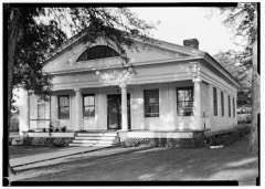 | Ezekiel Cullen House | building | 1971 | 71000960 |
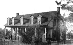 | William Garrett Plantation House | building | 1977 | 77001474 |
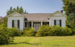 | Horn-Polk House | building | 1976 | 76002064 |
| San Augustine Commercial Historic District | district | 2007 | 07000269 | |
 | San Augustine County Courthouse and Jail | building | 2004 | 04000892 |
| San Augustine Residential Historic District | district | 2006 | 06000508 |
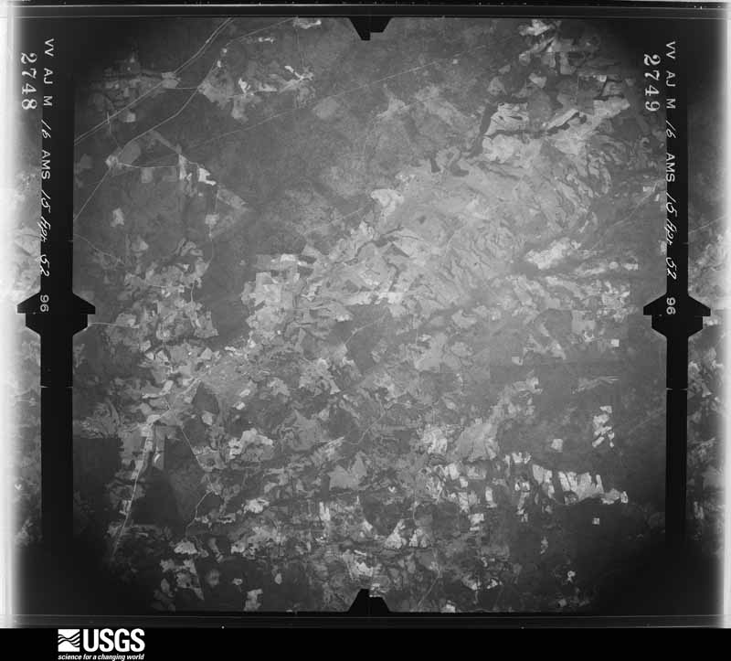
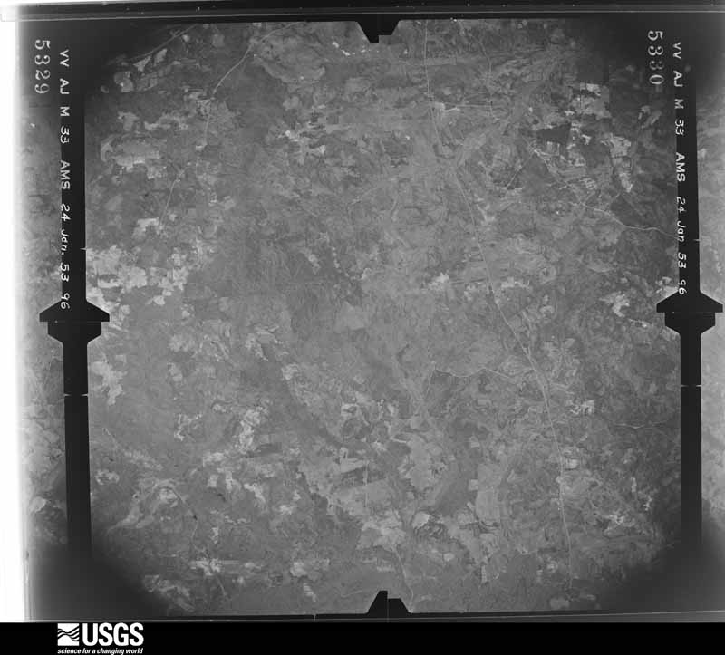
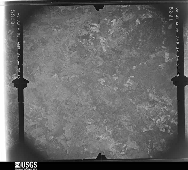
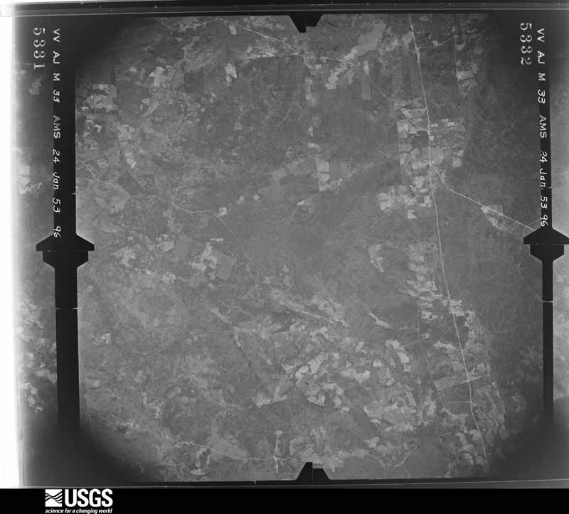
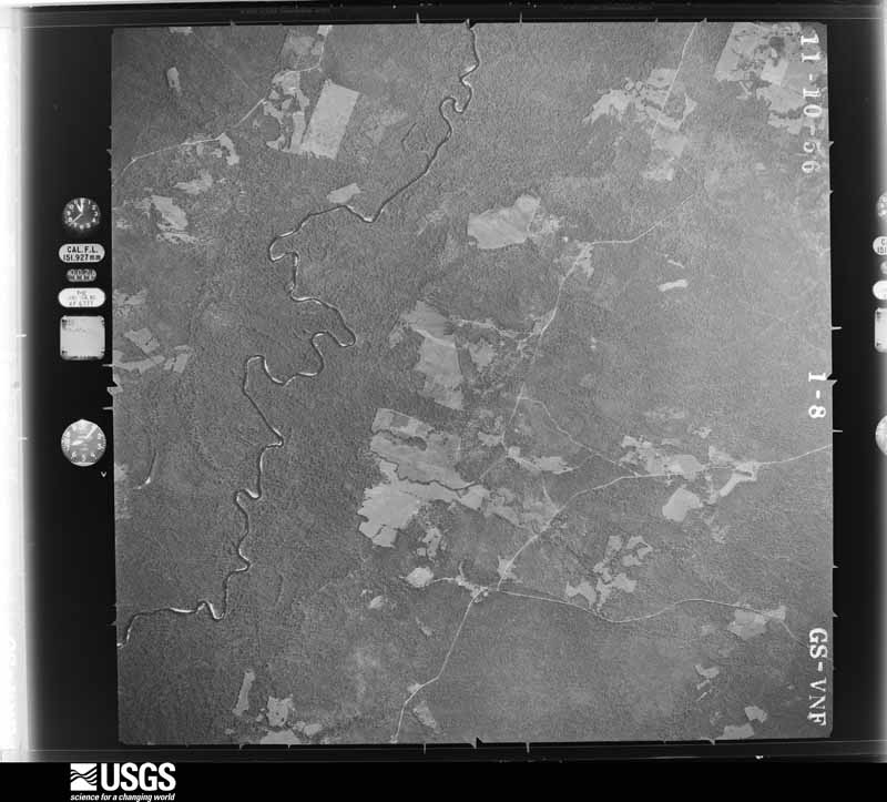
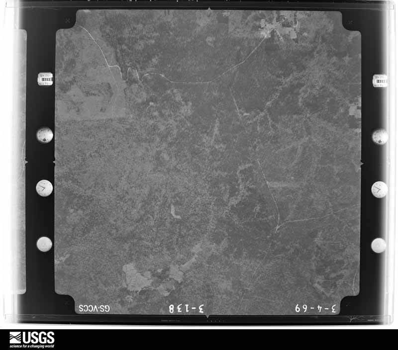
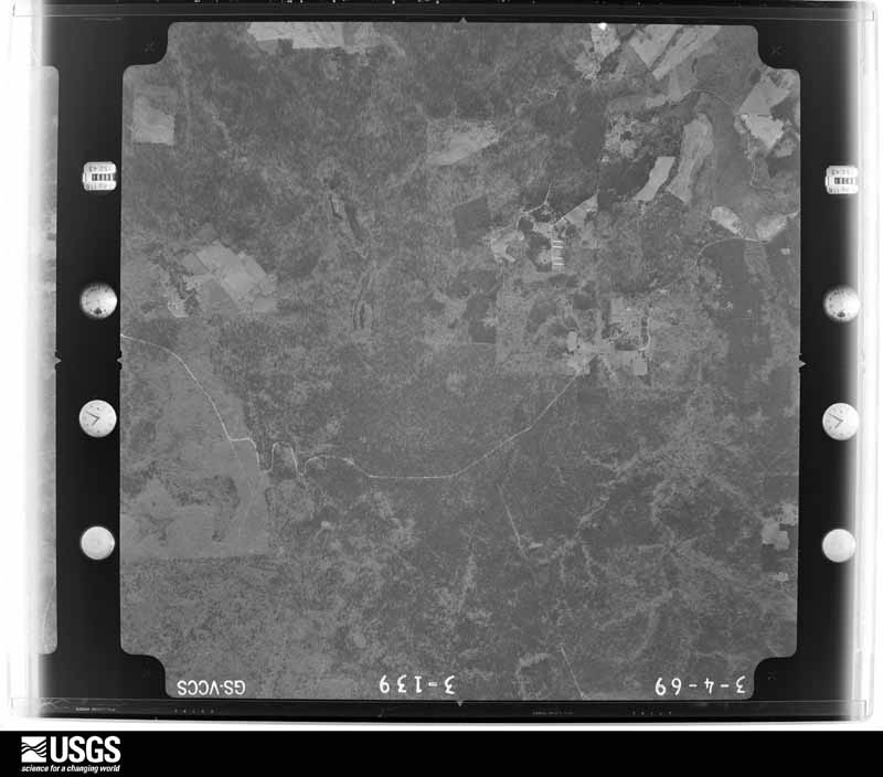
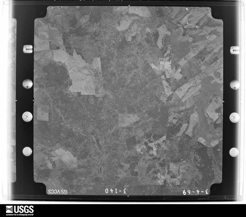
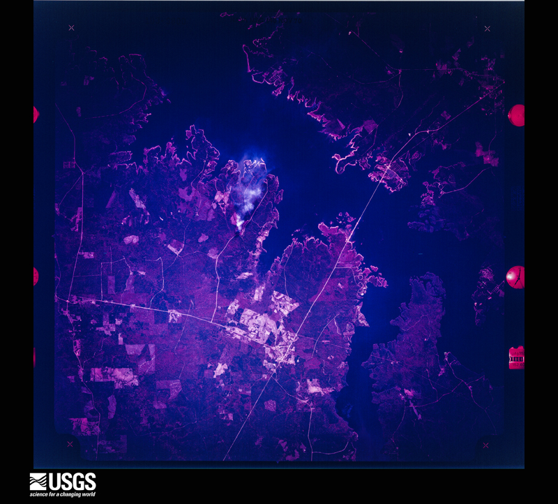
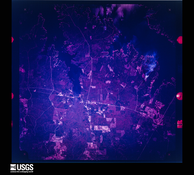
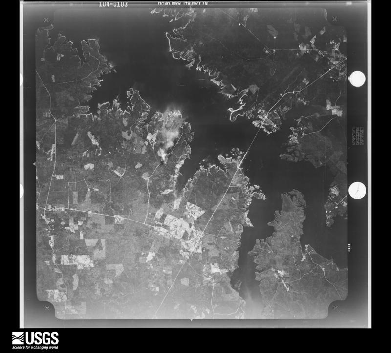
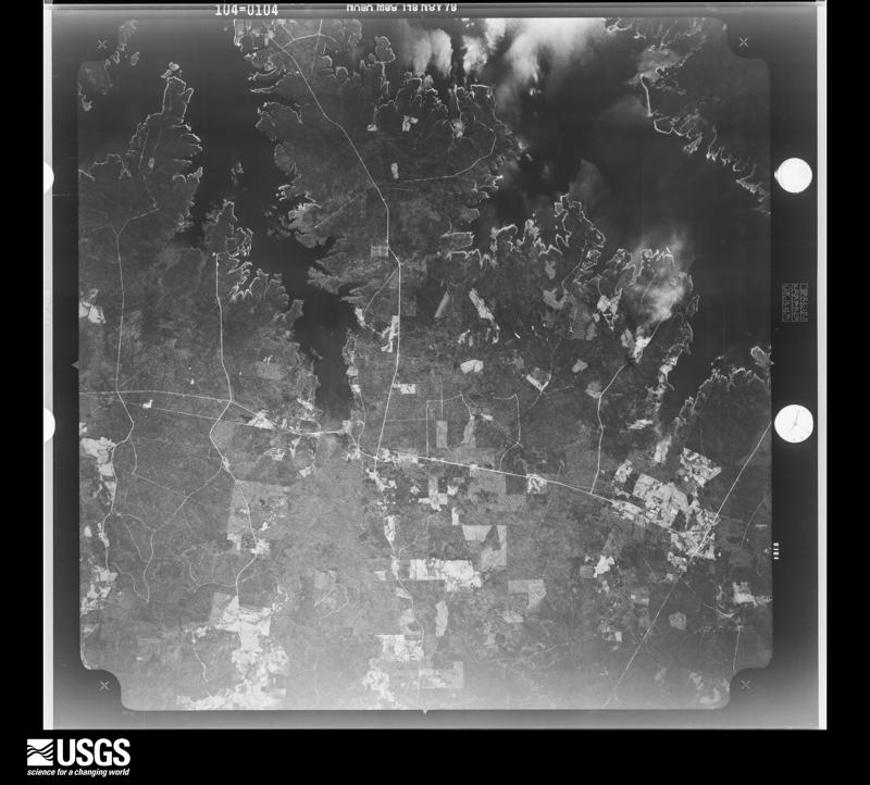
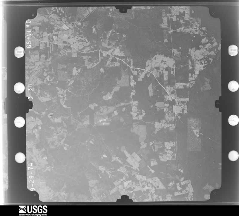
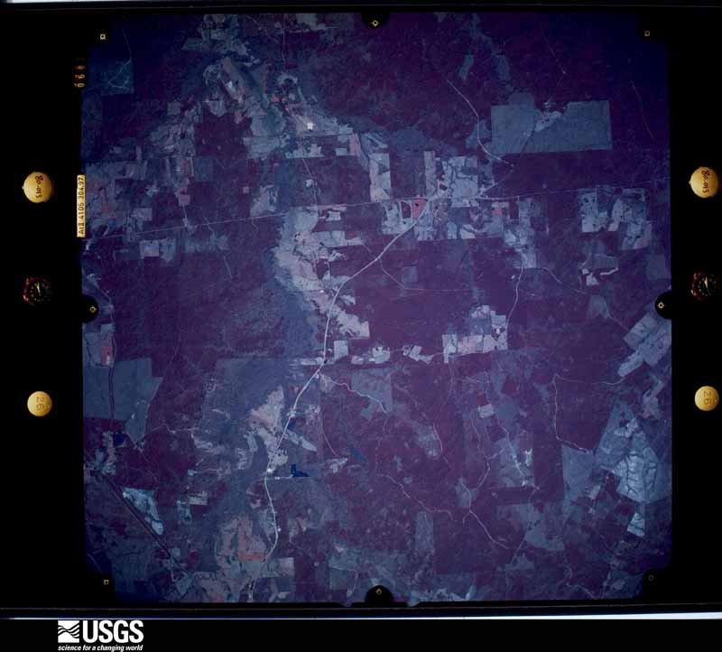
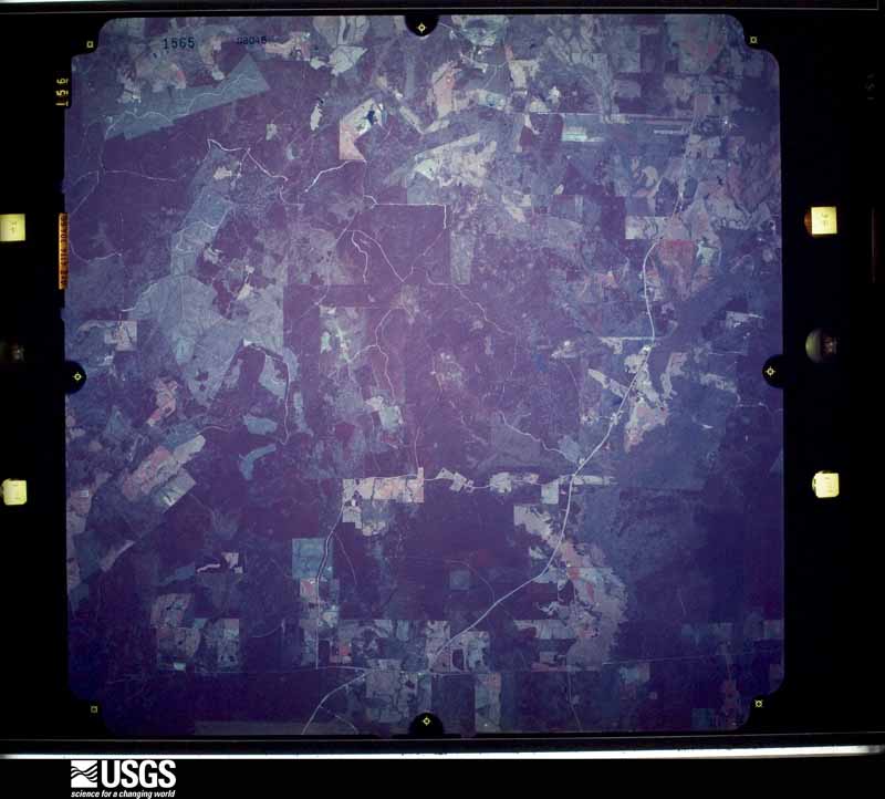
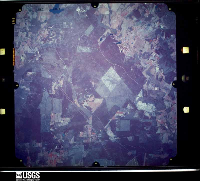
Flown by the U.S. Geological Survey between 1937 and 1989, the Aerial Photo Single Frames collection is the definitive mid-century view of the land: fields, roads and rivers as the camera saw them. The Survey holds 1,154 frames inside the rectangle that bounds this county; the 40 frames below were taken over the county itself, chosen across the decades of flights (at most four a year from that rectangle), so one flight cannot crowd out the rest. The full set is free to browse and download at EarthExplorer under the dataset Aerial Photo Single Frames.
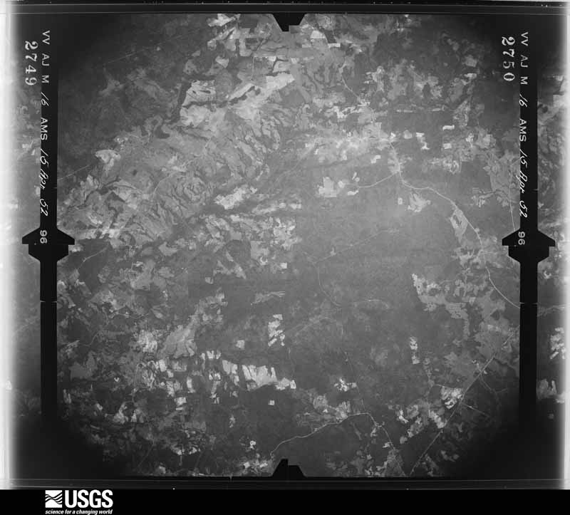
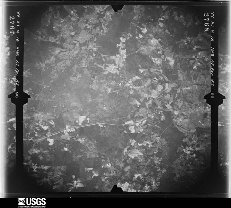
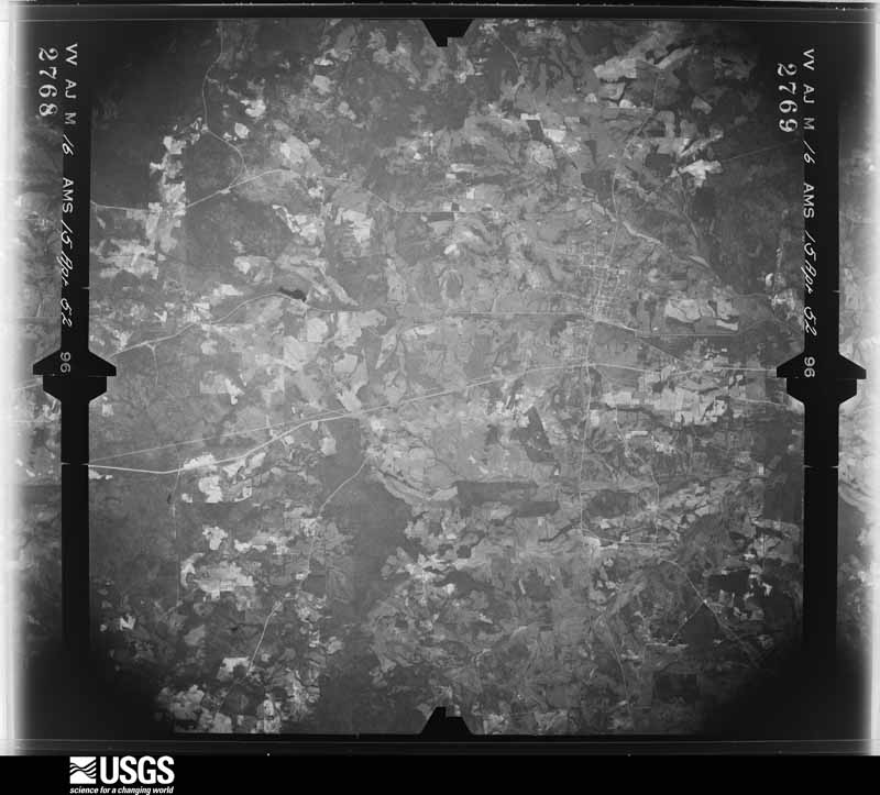
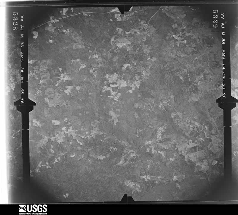
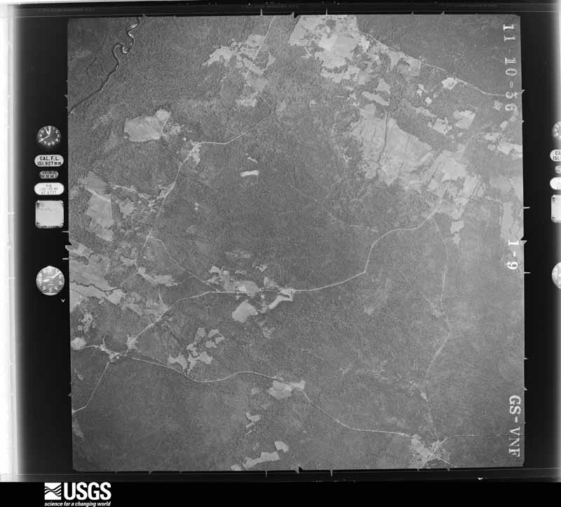
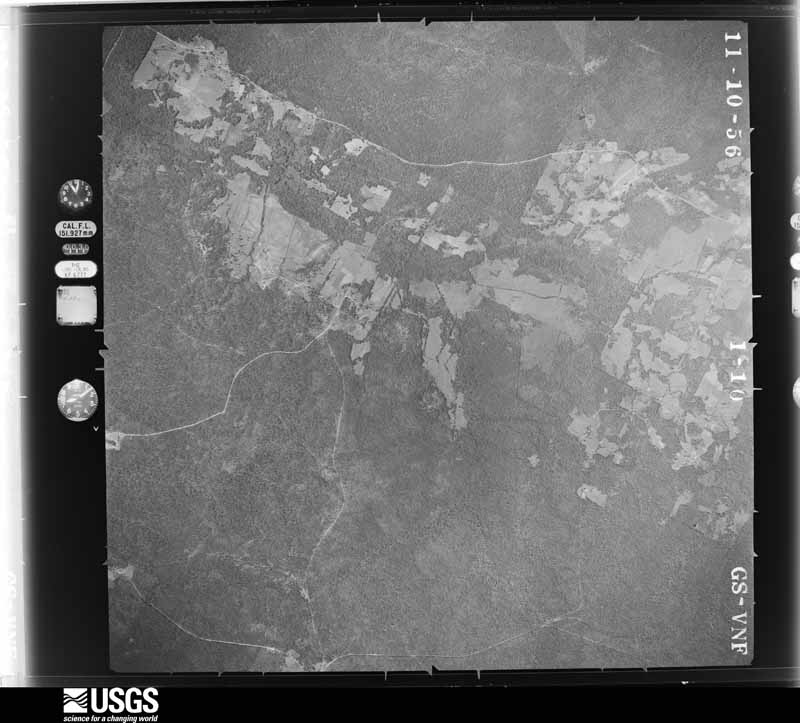
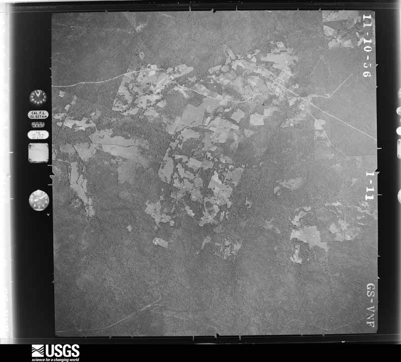
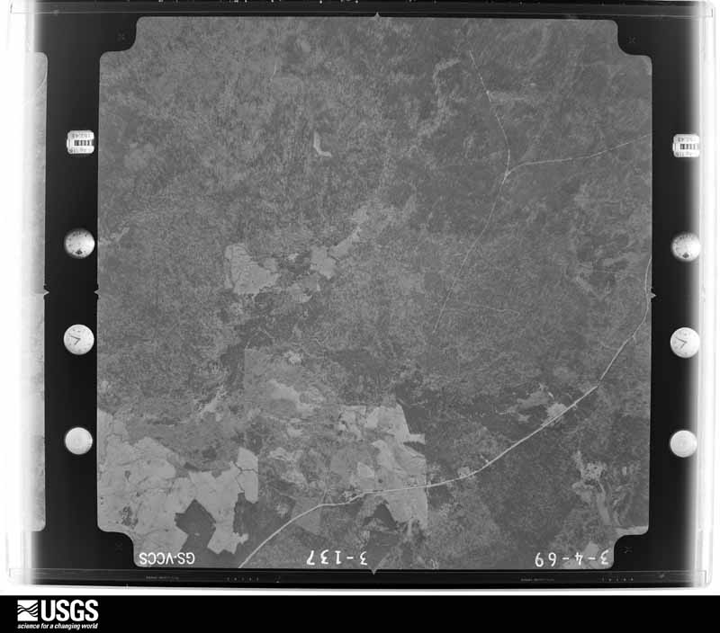


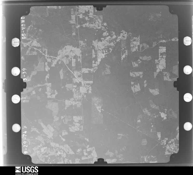
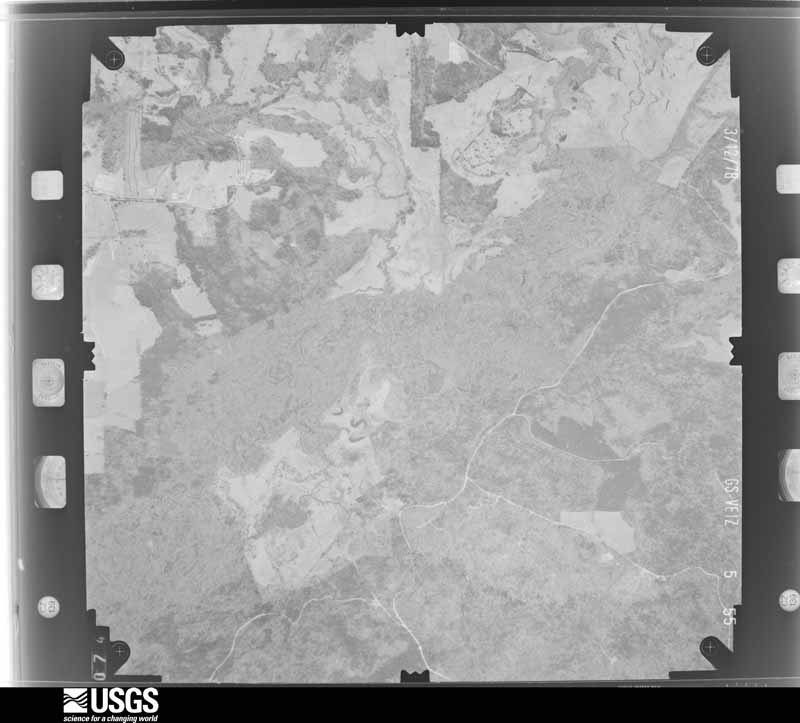

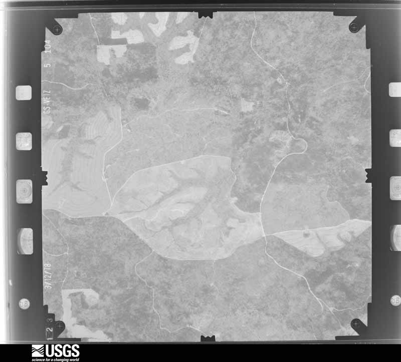
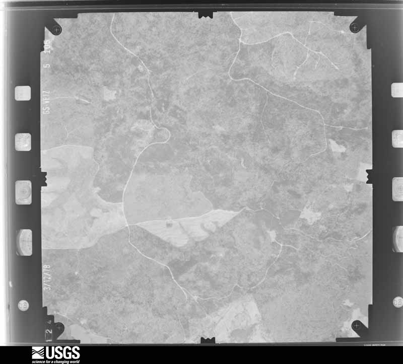

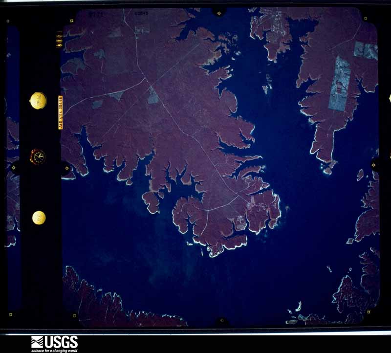
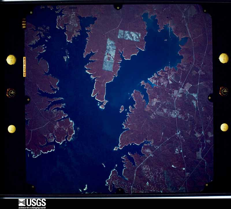

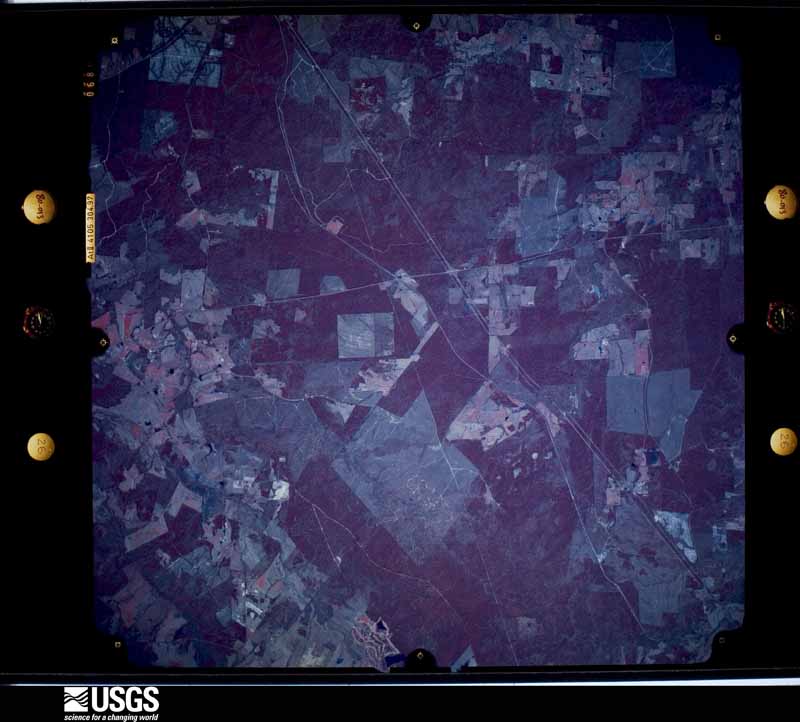
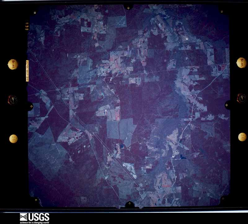



The thermometers that kept this county's weather, and the gages that measured the flow of its streams, as the federal records hold them. The extremes below are measured values from those records, not estimates.
Who lived here in 1950, one enumeration district at a time, as the Census Bureau described each district. Each row opens its official National Archives result, with Population Schedules and ED Maps available there.
Every wildfire the federal occurrence database records inside this county: 708 of them, burning about 8,470 acres. 51 started naturally and 77 were recorded as arson. Each settlement page carries the fires within five miles of it.
| Reported cause | Fires |
|---|---|
| Debris and open burning | 307 |
| Missing data/not specified/undetermined | 134 |
| Arson/incendiarism | 77 |
| Power generation/transmission/distribution | 60 |
| Natural | 51 |
| Equipment and vehicle use | 35 |
| Smoking | 14 |
| Recreation and ceremony | 14 |
| Fireworks | 8 |
| Railroad operations and maintenance | 4 |
| Misuse of fire by a minor | 3 |
| Other causes | 1 |
The five largest, by the area the report gives. Three of them were set deliberately.
| Date | Cause | Size | Reported by | Name on the report |
|---|---|---|---|---|
| 18 November 2020 | Debris and open burning | 347 acres | Texas A & M Forest Service | COUNTY ROAD 205 |
| 11 August 2002 | Debris and open burning | 278 acres | Texas A & M Forest Service | WOODVILLE - 178 |
| 22 August 2000 | Natural | 257 acres | Texas A & M Forest Service | HENDERSON - 568 |
| 31 August 1992 | Arson/incendiarism | 204 acres | National Forests And Grasslands In Texas | not named |
| 16 April 2008 | Missing data/not specified/undetermined | 200 acres | Texas A & M Forest Service | not named |
| 27 August 1993 | Arson/incendiarism | 200 acres | Texas A & M Forest Service | not named |
| 4 April 2014 | Natural | 160 acres | Texas A & M Forest Service | #9039 |
| 23 June 1998 | Arson/incendiarism | 152 acres | Texas A & M Forest Service | not named |
Every settlement page carries the fires within five miles of it - see the settlement index below.
The NOAA Storm Events Database holds 187 reports for this county, causing 1 death, 7 injuries and about $31,811,300 in recorded property damage. Each settlement page carries the reports that name it.
| Kind of event | Reports |
|---|---|
| Thunderstorm Wind | 94 |
| Hail | 49 |
| Flash Flood | 22 |
| Tornado | 20 |
| Lightning | 2 |
The most serious of them, by death, then injury, then recorded damage. The accounts are quoted exactly as the forecast office filed them.
| When | Event | Place named | Harm | What the report says |
|---|---|---|---|---|
| March 2008 | Flash Flood | Calgary | 1 killed, $3,000,000 | Widespread flooding reported across the northern portion of the county. Flooding was severe on County Road 21 in town and at the circle and along County Road 103. Homes were also flooded around the city. Three foot of water was also reported over Highway 3079. Evacuations had to be made by boat from homes in the northern part of the county. Several roads were washed out and or closed. Over 30 homes in the county were completely flooded along with several businesses. Water was as high as five feet in some homes. One fatality was reported when two people were driving east on State Highway 21 and ran into a ditch and became caught in swift-moving water. One man was rescued in time but the other occupant was swept away in the vehicle. Flooding was so bad near San Augustine that one business was completely knocked from its foundation and carried across a street by the current, drifting into a grocery store's gas pumps. |
| March 1974 | Tornado (F3) | not stated | 4 hurt | no account filed |
| January 1974 | Tornado (F3) | not stated | 2 hurt | no account filed |
| April 2009 | Lightning | Broaddus | 1 hurt, $2,000 | Lightning struck a boat on the Sam Rayburn Reservoir during the morning of April 18th. The strike threw a fisherman out of the boat and ripped all of his clothes off his body. A nearby fisherman jumped into the water and rescued the man who was struck and took him to shore where he was transferred to an ambulance. The man sustained first and second degree burns to 15 percent of his body but recovered. Witnesses said the lightning bolt was so strong, that other anglers as far as 400 yards away experienced a shock or tingle. The strike burned the pedestal seat of the mans boat and caused the control unit of a trolling motor to explode. |
| February 1998 | Thunderstorm Wind | Macune | $15,000,000 | Numerous trees and powerlines were toppled. Literally hundreds of trees were uprooted of snapped. A number of homes and automobiles throughout the area suffered damage. Several chicken houses had their roofs blown off. The Sabine National Forest suffered over 70,000 acres of damage with 5,000 acres completely levelled resulting in 300 million board feet of timber damaged. Six million dollars in damage belongs to property while nine million dollars belongs to timber loss. |
| April 2019 | Tornado (EF2) | San Augustine Arpt | $5,000,000 | An EF-2 tornado with maximum estimated winds of 130 mph first touched down along County Road 1277 where it uprooted and snapped numerous trees as it paralleled the road. It then widened and moved across Cedar Road where extensive tree damage led to structural damage to 54 structures in a neighborhood. As it continued, it ripped the awning off of a gas station and snapped the electrical transmission tower of a sub-station near the intersection of Highway 96 and Highway 21. A laundromat and several additional structures saw extensive damage as the tornado moved across the northern side of Downtown San Augustine. After tearing through the northern part of the city, it continued to uproot and snap trees nearby along County Road 353 before lifting just prior to the Shelby County line. ||Initial assessments found that around 150 homes and about 10 businesses were damaged from this tornado across San Augustine County. |
| March 2008 | Flash Flood | San Augustine | $5,000,000 | Ten to twenty inches of rain fell in the San Augustine and Sabine County area causing record flooding of some local creeks and reservoirs. Flash flooding was reported throughout the county and many bridges and roads were washed out. A fatality occurred when two people drove off the side of the road into deeper water. Only one of the occupants was able to get out. |
| February 1991 | Tornado (F3) | not stated | $2,500,000 | no account filed |
| June 2011 | Thunderstorm Wind | San Augustine | $500,000 | The National Weather Service conducted a storm survey in Nacogdoches and San Augustine County and concluded that damage was the result of a major downburst. Hundreds of trees from Chireno to San Augustine and to the south were either uprooted or snapped. A few single story homes in the Denning area sustained major structural damage due to large oak trees falling onto the homes. Several chicken houses were damaged by the downburst winds along FM road 1196. The roofs were peeled back. Numerous cars were damaged due to fallen trees, such as along FM road 1277, where two full size trucks were pinned by large oak trees. |
| February 1991 | Tornado (F2) | not stated | $250,000 | no account filed |
| March 2017 | Thunderstorm Wind | Broaddus | $125,000 | A downburst occurred as an eastward moving line of severe thunderstorms moved across Lake Sam Rayburn. Winds likely accelerated across the open waters before slamming into the westward exposed shoreline at the Shirley Creek Marina south of Etoile. Numerous trees were snapped and uprooted. The boat awning at the marina was damaged, and several residences sustained minor damage to their roofing shingles. One residence was severely damaged, as a large portion of the roof deck was uplifted and the walls partially collapsed. Wind speeds were estimated to be between 100-110 mph. |
| April 2016 | Tornado (EF1) | Broaddus | $100,000 | An EF-1 tornado with winds estimated between 95-105 mph touched down along the northern shore of Sam Rayburn Lake in the back of the Anthony Harbor subdivision off of Anthony Drive, snapping and uprooting numerous trees as it moved north northeast through the subdivision to Highway 83. Several trees fell on homes in this subdivision, where the tornado was at its widest and strongest. The tornado then shifted northeast and crossed over the northern tip of the lake north of the Ayish Bayou bridge, where the force of the winds resulted in two electrical transmission lines leaning in a northeasterly direction. The tornado then moved into a heavily wooded area north of Highway 83 near its intersection of County Road 430, where it snapped and uprooted several more trees on Red Oak and Evergreen Drives. The tornado finally lifted as it crossed Farm to Market Road 1751, where a large pine tree was uprooted. |
| March 1999 | Tornado (F2) | San Augustine | $100,000 | This was a continuation of the Nacogdoches tornado. Damage was mainly forestry consisting of numerous trees fallen and limbs snapped. Three homes had major roof damage and a carport was completely destroyed. Two large bails of rain saturated hay (Approximately 1500 lbs each dry weight) were moved about 25 yards. |
| April 2017 | Tornado (EF1) | Broaddus | $50,000 | An EF-1 tornado with maximum winds estimated between 100-110 mph initially touched down as a waterspout over Sam Rayburn Reservoir in Southwest San Augustine County near the Nacogdoches County line. This waterspout moved ashore at the Jackson Hill Marina on FM 2851 as a tornado, intensifying as it mowed through a grove of trees in front of the marina convenience store. This was where the tornado was the strongest, with numerous trees snapped and uprooted. Security cameras at the Jackson Hill Marina captured this tornado as it moved ashore. This tornado crossed Highway 147 at the intersection of FM 3185 near a cemetery, and remained on the ground as it crossed Highway 83 on the east side of Broaddus. There was where several trees were snapped and uprooted near the Trinity Baptist Church in Broaddus. One very large hardwood tree was uprooted but bore the brunt of the winds, minimizing the roof damage at the church. However, a covered canopy between the new addition of the church and an older building collapsed as winds accelerated between these two buildings. The tornado remained on the ground but weakened as it crossed FM 2558 before lifting on County Road 319 northeast of Broaddus. |
| February 1998 | Thunderstorm Wind | San Augustine | $50,000 | Numerous trees toppled including one that fell across a home north of town |
| June 1998 | Thunderstorm Wind | Broaddus | $35,000 | Trees and powerlines down. |
| November 2006 | Thunderstorm Wind | San Augustine | $30,000 | A few trees were downed including one which fell across a home in town. There were no reports of injuries. |
| June 1968 | Tornado (F1) | not stated | $25,000 | no account filed |
| November 1997 | Tornado (F1) | San Augustine | $15,000 | The thunderstorm that produced the tornado formed along a squall line moving across the region. Damage consisted primarily of numerous snapped and fallen trees or trees that were topped. One older frame home was de-roofed. |
| April 2002 | Thunderstorm Wind | San Augustine | $11,000 | Several large trees down. A shed was blown over near Fm 147. |
| March 2012 | Tornado (EF0) | Bland Lake | $10,000 | An EF0 tornado touched down 5 miles northwest of San Augustine, Tx. and tracked north northeast before lifting just south of the San Augustine/Shelby County Texas line. The initial touchdown was just east of Hwy. 96 and west of FMm 3230 where a larger tree was uprooted. Large limbs and tin from a chicken house was peeled back near FM. 1279. The path width was 50 yards wide with a path length of near 4 miles. Maximum winds were estimated near 70 mph. |
| October 1994 | Thunderstorm Wind | San Augustine | $5,000 | Large trees were blown down by high winds. 3 S Broaddus Large trees were blown down. |
| May 1991 | Tornado (F1) | not stated | $2,500 | no account filed |
| January 2017 | Thunderstorm Wind | Fords Corner | $800 | Large limbs were downed. The roof of a chicken house was damaged near the Patroon community. |
| March 2026 | Hail | Denning | - | Quarter to ping pong ball size reported in the Goodwin community southwest of San Augustine. |
| March 2026 | Hail | Broaddus | - | Tennis ball size hail reported near Lake Sam Rayburn between the Broaddus and Pineland communities. |
| March 2026 | Hail | Broaddus | - | Ping pong ball size hail reported near San Augustine Park. |
| March 2026 | Thunderstorm Wind | Broaddus | - | Tree downed across Highway 147 South near the Angelina County line. |
| March 2026 | Thunderstorm Wind | Chinquapin | - | Tree downed on a power line along County Road 432 just east of the Anthony Harbor community. |
| March 2026 | Thunderstorm Wind | Macune | - | One tree uprooted with a trunk snapped off of another tree on FM Road 1992 north of Highway 103. |
| May 2025 | Hail | Macune | - | Quarter to ping pong ball size hail fell in the Norwood community. |
| May 2025 | Hail | Macune | - | Ping pong ball size hail fell in the Macune and Norwood communities. |
| May 2025 | Hail | Broaddus | - | A long duration of quarter to half dollar size hail fell along Highway 147 between CR 348 and Highway 1277 near Broaddus High School. The hail completely covered the ground, and resulted in extensive hail fog along the highway. |
| March 2025 | Hail | San Augustine | - | Quarter size hail reported in San Augustine. |
| June 2025 | Hail | Bland Lake | - | Ping pong ball size hail reported near Bland Lake. |
| June 2025 | Thunderstorm Wind | Conville | - | Numerous trees downed across San Augustine County and blocking roadways, including the intersection of Highway 103 and U.S. Highway 96. |
| October 2025 | Thunderstorm Wind | Denning | - | Trees were blown down on FM 1196 just south of Highway 21 east of Chireno. |
| January 2024 | Flash Flood | San Augustine | - | A bridge on Water Street in San Augustine was closed due to flooding. Several other roads were closed from flooding in the city and throughout San Augustine County as well. |
| June 2024 | Thunderstorm Wind | Denning | - | Trees and power lines downed near the Martinsville community. |
| June 2024 | Thunderstorm Wind | Fords Corner | - | Numerous trees and power lines downed across mainly the northern half of San Augustine County. |
| April 2024 | Thunderstorm Wind | San Augustine | - | Trees downed on FM Road 2213 just south of San Augustine. |
| April 2024 | Thunderstorm Wind | Broaddus | - | A tree was downed across FM Road 2558 near Broaddus. |
| April 2024 | Thunderstorm Wind | San Augustine Arpt | - | A tree was downed across FM Road 711 just northwest of San Augustine. |
| May 2024 | Hail | Broaddus | - | Quarter size hail reported near Broaddus. |
| July 2024 | Flash Flood | San Augustine | - | Flash flooding reported on Highway 2213 and FM Road 705 near San Augustine. |
| January 2022 | Flash Flood | Broaddus | - | Numerous roads in Southern San Augustine County near Lake Sam Rayburn were covered in high water. Ponds overtopped their earthen dams, and a culvert was washed out. A CoCoRaHS observer reported 6.75 inches of rain between 1030 pm on January 8th to 500 am on the 9th, with the heaviest rainfall occurring during the early morning hours. This observer recorded a 24 hour storm total of 7.25 inches. |
| November 2022 | Thunderstorm Wind | Venable | - | A large tree and a telephone pole was snapped at a home near the intersection of Highway 96 and FM 1751. |
| March 2022 | Hail | San Augustine Arpt | - | Golfball size hail fell several miles southwest of San Augustine. |
| April 2021 | Thunderstorm Wind | Broaddus | - | A tree was blown down onto FM 705 near Powell Park Resort and Marina. |
| April 2021 | Thunderstorm Wind | Denning | - | A tree was blown down at FM 1196 and Highway 21. |
| May 2021 | Flash Flood | Denning | - | FM 1277 between County Road 347 and County Road 3350 was flooded and closed. |
| May 2021 | Flash Flood | Macune | - | Highway 103 was flooded in several locations south of San Augustine. |
| May 2021 | Flash Flood | Macune | - | FM 705 north of Highway 83 west of the Anthony Harbor community was flooded and closed. |
| April 2021 | Flash Flood | Denning | - | FM 1277 was flooded and closed about 1 mile north of Highway 103. FM 1992 west of Highway 147 was also flooded and closed. Other various roadways across Southern San Augustine County were flooded. |
| March 2020 | Hail | Conville | - | Quarter size hail was reported east of Chinaquapin or near the intersection of Highway 103 and Highway 96. |
| May 2020 | Hail | San Augustine | - | Nickel to quarter size hail fell in San Augustine. |
| April 2020 | Thunderstorm Wind | Macune | - | Trees were blown down on Highway 103. |
| April 2020 | Thunderstorm Wind | Denning | - | Trees were downed on Highway 21 a few miles east of Chireno. |
| April 2020 | Thunderstorm Wind | Broaddus | - | A tree was blown down near Broaddus. |
| May 2019 | Flash Flood | San Augustine | - | High water covered Highway 147 in San Augustine. |
Named settlements recorded in the Geographic Names Information System, each with the topographic sheets covering it. Villages, hamlets and abandoned places alike. Each is shown with the nearest named watercourse or landform and the survey quadrangle it falls on.
Broaddus census division · 75929 · On Tilde Creek · Bronson quadrangle
12 sheets, 1953 to 1992
San Augustine census division · 75972 · On Crooked Creek · San Augustine East quadrangle
12 sheets, 1953 to 2003
San Augustine census division · 75935 · San Augustine East quadrangle
12 sheets, 1953 to 2003
Broaddus census division · 75929 · On Walnut Branch · Broaddus quadrangle
13 sheets, 1953 to 2003
San Augustine census division · 75935 · San Augustine East quadrangle
12 sheets, 1953 to 2003
San Augustine census division · 75935 · On Little Iron Ore Creek · Chireno North quadrangle
11 sheets, 1953 to 1992
No longer a settlement
San Augustine census division · 75930 · On Clear Branch · Chinquapin quadrangle
12 sheets, 1953 to 1992
San Augustine census division · 75972 · On Crooked Creek · San Augustine East quadrangle
12 sheets, 1953 to 2003
San Augustine census division · 75972 · Near Sixmile Hollow · Chinquapin quadrangle
12 sheets, 1953 to 1992
San Augustine census division · 75972 · On Rocky Branch · San Augustine West quadrangle
11 sheets, 1953 to 1992
San Augustine census division · 75972 · On Shingle Machine Branch · Chinquapin quadrangle
12 sheets, 1953 to 1992
Broaddus census division · 75930 · On Little Creek · Bronson quadrangle
12 sheets, 1953 to 1992
San Augustine census division · 75972 · On Brushy Creek · Chireno South quadrangle
13 sheets, 1953 to 2003
San Augustine census division · 75935 · On Sandy Creek · San Augustine West quadrangle
11 sheets, 1953 to 1992
San Augustine census division · 75935 · On Odell Creek · San Augustine West quadrangle
11 sheets, 1953 to 1992
San Augustine census division · 75972 · On Mickey Branch · San Augustine East quadrangle
12 sheets, 1953 to 2003
San Augustine census division · 75972 · On Fisher Branch · Norwood quadrangle
13 sheets, 1953 to 2003
Broaddus census division · 75929 · On Copelle Creek · Harvey Creek quadrangle
13 sheets, 1953 to 2003
San Augustine census division · 75930 · On Venado Creek · Chinquapin quadrangle
12 sheets, 1953 to 1992
Broaddus census division · 75930 · On Ayish Bayou · Buck Bay quadrangle
13 sheets, 1953 to 2003
San Augustine census division · 75972 · On Black Branch · Chireno North quadrangle
11 sheets, 1953 to 1992
San Augustine census division · 75972 · On School Branch · Norwood quadrangle
13 sheets, 1953 to 2003
Broaddus census division · 75930 · On Buck Branch · Buck Bay quadrangle
13 sheets, 1953 to 2003
Broaddus census division · 75929 · On Boggy Branch · McGee Bend quadrangle
13 sheets, 1953 to 2003
San Augustine census division · 75972 · San Augustine West quadrangle
11 sheets, 1953 to 1992
San Augustine census division · 75972 · On Caney Creek · San Augustine East quadrangle
12 sheets, 1953 to 2003
San Augustine census division · 75972 · On Caney Creek · San Augustine East quadrangle
12 sheets, 1953 to 2003
Broaddus census division · 75972 · On Prairie Creek · Broaddus quadrangle
13 sheets, 1953 to 2003
San Augustine census division · 75972 · On Caney Creek · Norwood quadrangle
13 sheets, 1953 to 2003
Broaddus census division · 75929 · On Blackland Branch · Veach quadrangle
13 sheets, 1953 to 2003
San Augustine census division · 75972 · On Steep Creek · Chinquapin quadrangle
12 sheets, 1953 to 1992
San Augustine census division · 75972 · On Higginbotham Branch · San Augustine East quadrangle
12 sheets, 1953 to 2003
The vanished settlements of San Augustine County: the places named above that are no longer on the map.