 Block
BlockBroaddus, Texas
13 topographic sheets cover this place, the earliest surveyed in 1953 and the latest in 2003. It stands in the Broaddus census division. It lies in ZIP code area 75929. It stands on Walnut Branch. The Survey maps it on the Broaddus quadrangle. 184 people lived here at the 2020 count. It stands 262 feet above sea level.
Population over time
3 figuresBroaddus fell from 189 to 184 between 2000 and 2020. These are the recorded population figures Wikidata holds for this place, reached through the Geographic Names Information System number this page is keyed on rather than by name, so they belong to this place and not to another of the same name. Most are census counts, but not all are: an early figure may be a founding or settlement estimate, and an estimate published within five years of a census is left out. The change column is computed, and is left blank where more than 20 years separate a figure from the one before it, because a gap that long is not a change between two counts.
| Year | People | Change |
|---|---|---|
| 2000 | 189 | |
| 2010 | 207 | +18 (+10%) |
| 2020 | 184 | -23 (-11%) |
Topographic sheets covering this place
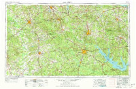
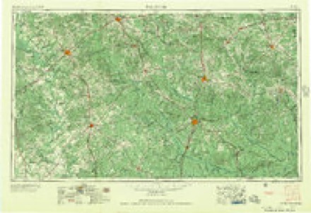
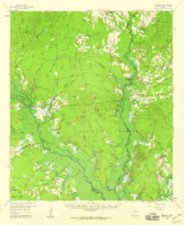
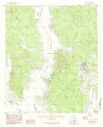
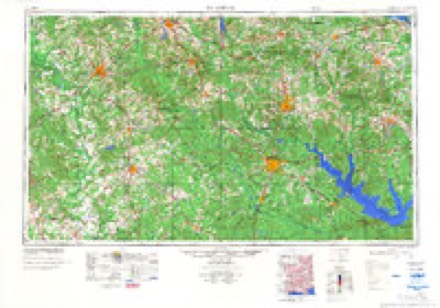
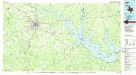
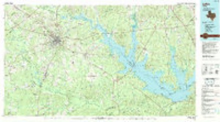
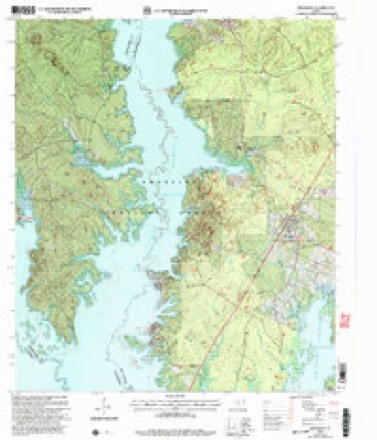
8 surveys from 13 printed sheetsMatched by testing this settlement's coordinate against the published boundary of every sheet in the United States Geological Survey's historical collection. Each opens the scanned sheet at the Survey.
- 1953 USGS Palestine quadrangle1:250000, 2 printings
- 1957 USGS Palestine quadrangle1:250000
- 1958 USGS Broaddus quadrangle1:62500, 3 printings
- 1984 USGS Broaddus quadrangle1:24000
- 1984 USGS Palestine quadrangle1:250000, 3 printings
- 1986 USGS Lufkin quadrangle1:100000
- 1992 USGS Lufkin quadrangle1:100000
- 2003 USGS Broaddus quadrangle1:24000
Fires near this place
105 since 1993Regional context, not property-specific evidence. The federal wildfire occurrence database lists 105 fires within 5 miles of Broaddus between 1993 and 2020, burning about 790 acres in total. 7 started naturally. 11 were recorded as arson. Distance is straight-line from the map coordinates, so a fire counted here may appear on a neighbouring settlement's page as well.
| Reported cause | Fires |
|---|---|
| Debris and open burning | 36 |
| Power generation/transmission/distribution | 19 |
| Missing data/not specified/undetermined | 19 |
| Arson/incendiarism | 11 |
| Natural | 7 |
| Equipment and vehicle use | 5 |
| Recreation and ceremony | 3 |
| Fireworks | 2 |
| Other causes | 1 |
| Misuse of fire by a minor | 1 |
| Smoking | 1 |
The most recent of them, most recent first, with the day each was reported and the service that recorded it.
| Date | Cause | Size | Reported by | Name on the report |
|---|---|---|---|---|
| 9 September 2007 | Debris and open burning | 10 acres | Texas A & M Forest Service | not named |
| 8 September 2007 | Debris and open burning | 5.0 acres | Texas A & M Forest Service | not named |
| 6 September 2002 | Debris and open burning | 2.0 acres | Texas A & M Forest Service | WOODVILLE - 191 |
| 4 September 1993 | Debris and open burning | 2.0 acres | Texas A & M Forest Service | not named |
| 23 September 2005 | Debris and open burning | 1.0 acres | National Forests And Grasslands In Texas | CHOATE |
| 21 September 2007 | Natural | 1.0 acres | Texas A & M Forest Service | not named |
| 18 September 2005 | Arson/incendiarism | under an acre | National Forests And Grasslands In Texas | HILL |
| 17 September 1999 | Power generation/transmission/distribution | 1.0 acres | National Forests And Grasslands In Texas | POWER |
Settlements close enough to share some of these fires:
Storms near this place
30 since 1993Regional context, not property-specific evidence. The National Weather Service names Broaddus in 30 storm reports between 1993 and 2026: 18 thunderstorm wind, 5 hail, 3 flash flood, 2 lightning. The reports record 1 injury. Each account below is quoted exactly as the forecast office filed it, from the NOAA Storm Events Database, and each date opens the federal record of that event.
| When | Event | Place named | Harm | What the report says |
|---|---|---|---|---|
| April 2009 | Lightning | Broaddus | 1 hurt, $2,000 | Lightning struck a boat on the Sam Rayburn Reservoir during the morning of April 18th. The strike threw a fisherman out of the boat and ripped all of his clothes off his body. A nearby fisherman jumped into the water and rescued the man who was struck and took him to shore where he was transferred to an ambulance. The man sustained first and second degree burns to 15 percent of his body but recovered. Witnesses said the lightning bolt was so strong, that other anglers as far as 400 yards away experienced a shock or tingle. The strike burned the pedestal seat of the mans boat and caused the control unit of a trolling motor to explode. |
| March 2017 | Thunderstorm Wind | Broaddus | $125,000 | A downburst occurred as an eastward moving line of severe thunderstorms moved across Lake Sam Rayburn. Winds likely accelerated across the open waters before slamming into the westward exposed shoreline at the Shirley Creek Marina south of Etoile. Numerous trees were snapped and uprooted. The boat awning at the marina was damaged, and several residences sustained minor damage to their roofing shingles. One residence was severely damaged, as a large portion of the roof deck was uplifted and the walls partially collapsed. Wind speeds were estimated to be between 100-110 mph. |
| April 2016 | Tornado (EF1) | Broaddus | $100,000 | An EF-1 tornado with winds estimated between 95-105 mph touched down along the northern shore of Sam Rayburn Lake in the back of the Anthony Harbor subdivision off of Anthony Drive, snapping and uprooting numerous trees as it moved north northeast through the subdivision to Highway 83. Several trees fell on homes in this subdivision, where the tornado was at its widest and strongest. The tornado then shifted northeast and crossed over the northern tip of the lake north of the Ayish Bayou bridge, where the force of the winds resulted in two electrical transmission lines leaning in a northeasterly direction. The tornado then moved into a heavily wooded area north of Highway 83 near its intersection of County Road 430, where it snapped and uprooted several more trees on Red Oak and Evergreen Drives. The tornado finally lifted as it crossed Farm to Market Road 1751, where a large pine tree was uprooted. |
| April 2017 | Tornado (EF1) | Broaddus | $50,000 | An EF-1 tornado with maximum winds estimated between 100-110 mph initially touched down as a waterspout over Sam Rayburn Reservoir in Southwest San Augustine County near the Nacogdoches County line. This waterspout moved ashore at the Jackson Hill Marina on FM 2851 as a tornado, intensifying as it mowed through a grove of trees in front of the marina convenience store. This was where the tornado was the strongest, with numerous trees snapped and uprooted. Security cameras at the Jackson Hill Marina captured this tornado as it moved ashore. This tornado crossed Highway 147 at the intersection of FM 3185 near a cemetery, and remained on the ground as it crossed Highway 83 on the east side of Broaddus. There was where several trees were snapped and uprooted near the Trinity Baptist Church in Broaddus. One very large hardwood tree was uprooted but bore the brunt of the winds, minimizing the roof damage at the church. However, a covered canopy between the new addition of the church and an older building collapsed as winds accelerated between these two buildings. The tornado remained on the ground but weakened as it crossed FM 2558 before lifting on County Road 319 northeast of Broaddus. |
| June 1998 | Thunderstorm Wind | Broaddus | $35,000 | Trees and powerlines down. |
| March 2026 | Hail | Broaddus | - | Tennis ball size hail reported near Lake Sam Rayburn between the Broaddus and Pineland communities. |
| March 2026 | Hail | Broaddus | - | Ping pong ball size hail reported near San Augustine Park. |
| March 2026 | Thunderstorm Wind | Broaddus | - | Tree downed across Highway 147 South near the Angelina County line. |
| May 2025 | Hail | Broaddus | - | A long duration of quarter to half dollar size hail fell along Highway 147 between CR 348 and Highway 1277 near Broaddus High School. The hail completely covered the ground, and resulted in extensive hail fog along the highway. |
| April 2024 | Thunderstorm Wind | Broaddus | - | A tree was downed across FM Road 2558 near Broaddus. |
| May 2024 | Hail | Broaddus | - | Quarter size hail reported near Broaddus. |
| January 2022 | Flash Flood | Broaddus | - | Numerous roads in Southern San Augustine County near Lake Sam Rayburn were covered in high water. Ponds overtopped their earthen dams, and a culvert was washed out. A CoCoRaHS observer reported 6.75 inches of rain between 1030 pm on January 8th to 500 am on the 9th, with the heaviest rainfall occurring during the early morning hours. This observer recorded a 24 hour storm total of 7.25 inches. |
| April 2021 | Thunderstorm Wind | Broaddus | - | A tree was blown down onto FM 705 near Powell Park Resort and Marina. |
| April 2020 | Thunderstorm Wind | Broaddus | - | A tree was blown down near Broaddus. |
| April 2017 | Thunderstorm Wind | Broaddus | - | Trees and power lines were blown down. |
| May 2016 | Thunderstorm Wind | Broaddus | - | Trees down on Highway 83 near Farm to Market Road 705 just west of the Anthony Harbor community. Only the shoulder of the road was passable. |
| July 2014 | Flash Flood | Broaddus | - | County Road 1992 was flooded and closed from excessive heavy rainfall. |
| January 2013 | Thunderstorm Wind | Broaddus | - | A few trees were downed in the Broaddus community. |
| June 2012 | Thunderstorm Wind | Broaddus | - | Powerlines were downed near the intersection of FM 1277 and Hwy. 147 in Broaddus, Texas. |
| December 2009 | Flash Flood | Broaddus | - | Flooding was reported at the intersection of Hwy. 103 and FM 1277. |
| August 2008 | Thunderstorm Wind | Broaddus | - | Trees were blown down along Tx. 705 west of Pineland, Texas. |
| December 2007 | Thunderstorm Wind | Broaddus | - | Several power lines were blown down resulting in scattered power outages. |
| April 2007 | Thunderstorm Wind | Broaddus | - | A few trees down across U.S. Hwy 103. |
| June 2004 | Thunderstorm Wind | Broaddus | - | Trees downed across FM 2558. |
| June 2003 | Thunderstorm Wind | Broaddus | - | Numerous trees down along FM 1277. |
| June 2001 | Lightning | Broaddus | - | The remnants of Tropical Storm Allison led to severe flash flooding over portions of the county. Hwy 147 had to be closed and sever creeks adjacent to highways in town overflowed their banks leading to additional road closures. There were several reports of cars hydroplaning into ditches. |
| April 2000 | Thunderstorm Wind | Broaddus | - | Numerous trees down. |
| May 1999 | Thunderstorm Wind | Broaddus | - | Numerous trees and powerlines down. |
| February 1998 | Thunderstorm Wind | Broaddus | - | Several trees fell across Hwy 83. |
| March 1993 | Hail | Broaddus | - | Dime-size hail and large was reported in Broaddus, no maximum size was reported. |
Nearest settlements
The eight closest, with where each one stands in the county. Distances are straight-line, computed from the Geographic Names Information System coordinates.
| Map | Place | Distance | Sheets |
|---|---|---|---|
| Townsend | 3.8 miles | 13 | |
| White City | 5.2 miles | 13 | |
| Norwood | 7.4 miles | 13 | |
| Veach | 7.6 miles | 13 | |
| Massa | 7.8 miles | 13 | |
| Goodwin | 8.2 miles | 13 | |
| Anthony Harbor | 8.2 miles | 12 | |
| Glen Oaks | 9.4 miles | 12 |
Elsewhere
Matched on this settlement's Geographic Names Information System number rather than its name, so it cannot be a different place of the same name in another state.
| Wikipedia article on Broaddus | An encyclopaedic summary. Its text is share-alike, so it is linked here rather than copied. |
| Wikidata item Q976304 | The structured record the population and elevation above come from. Public domain (CC0). |
Provenance
This settlement is recorded in the Geographic Names Information System as feature 1381517. The sheet list is computed by point-in-boundary test against the United States Geological Survey's historical topographic inventory. Both are works of the United States government and carry no copyright under 17 U.S.C. 105.
Wildfire. Short, Karen C. 2022. Spatial wildfire occurrence data for the United States, 1992-2020 [FPA_FOD_20221014]. 6th Edition. Fort Collins, CO: Forest Service Research Data Archive. https://doi.org/10.2737/RDS-2013-0009.6 Collected with United States Government funding and usable without additional permissions or fees.
Storms. NOAA National Centers for Environmental Information, Storm Events Database https://www.ncei.noaa.gov/stormevents/ A work of the United States government, no copyright under 17 U.S.C. 105. Narratives are quoted verbatim from the National Weather Service report and are not edited or summarised.