 Block
BlockScurry County, Texas
36 topographic sheets cover 17 settlements here.
Research this county
What the record shows
- 153 topographic sheet readings cover the county's settlements.
- The Geographic Names Information System records 17 populated places in this county; 17 are covered by at least one topographic sheet.
Photographs from libraries nationwide
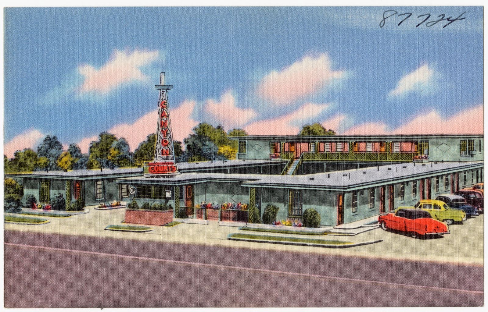
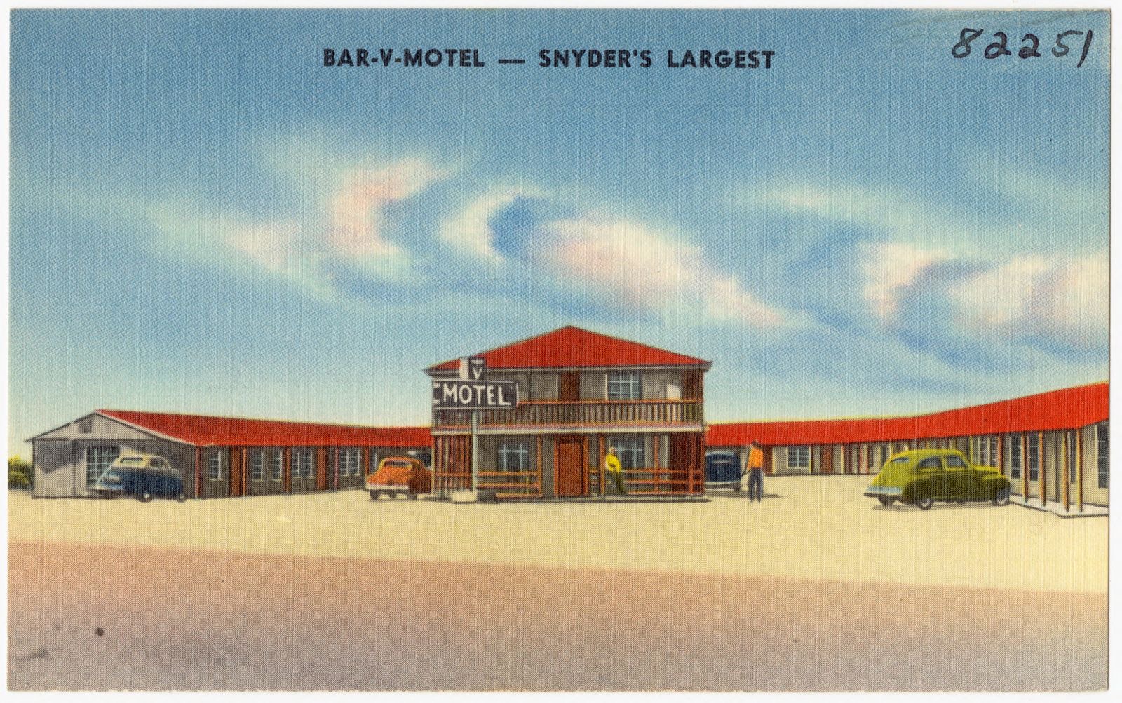
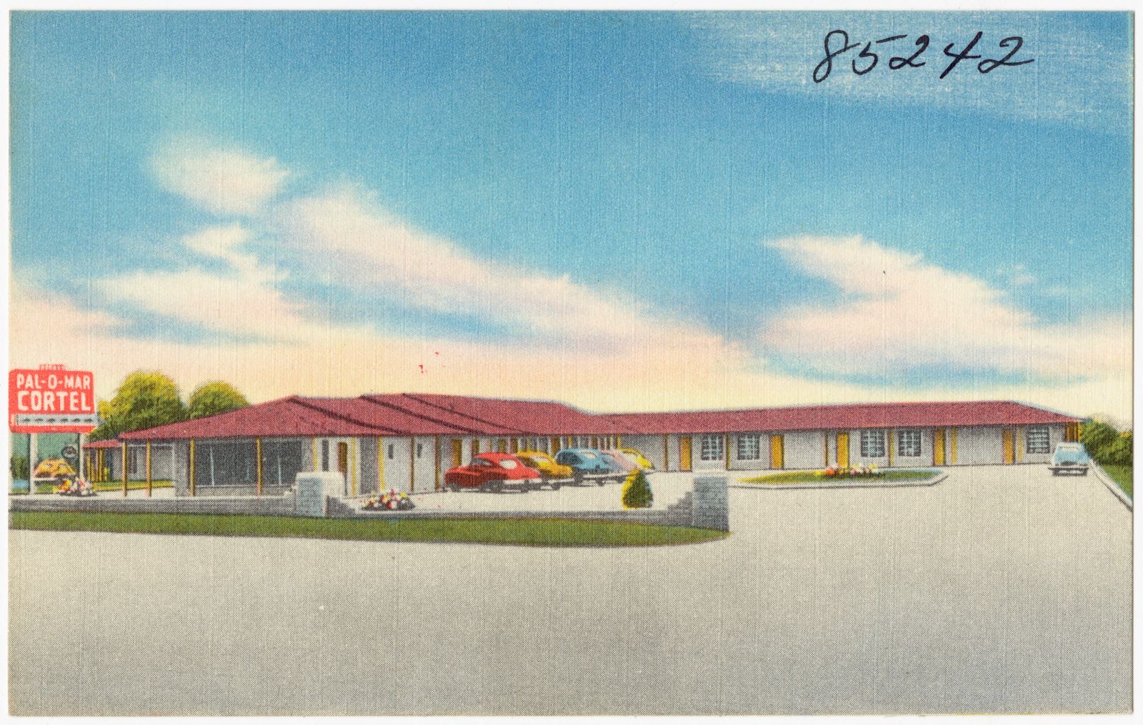
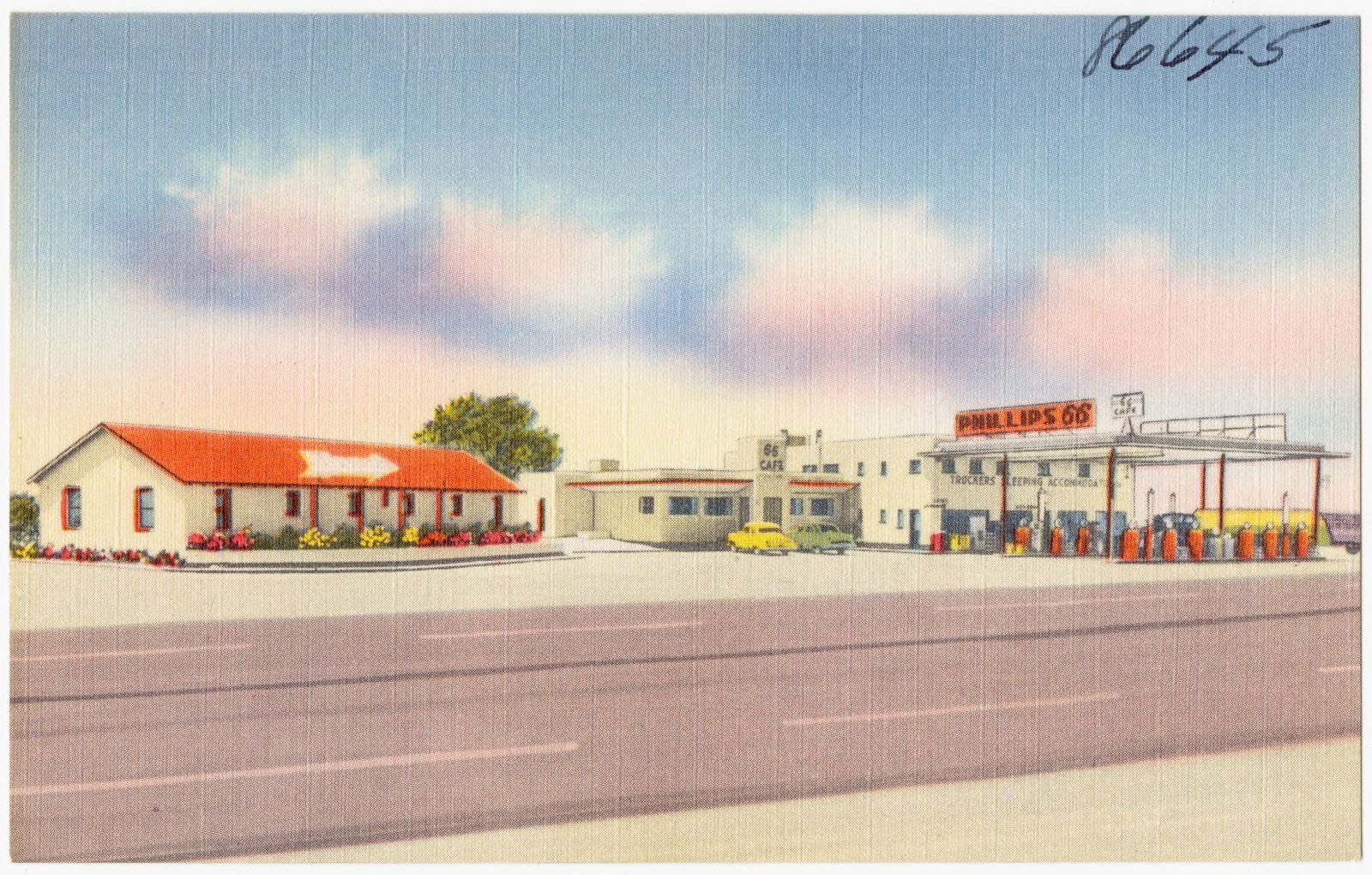
4 shownSelected from the Digital Public Library of America's 4 image records catalogued for this county. Every one shown here carries a public-domain status or a licence that permits reuse on a site that carries advertising; non-commercial, share-alike and restricted images are excluded. The selection is spread across the county's towns (at most eight per town), so no single institution's bulk upload crowds out the rest. Each opens the holding library's record, and the complete set at the Digital Public Library of America is one click away.
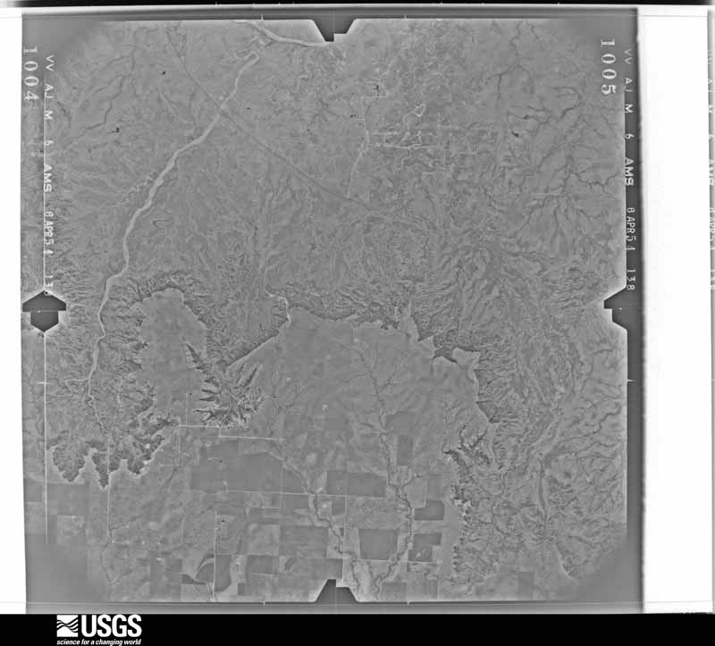
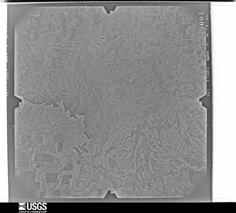
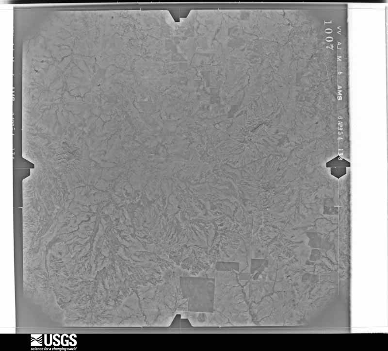
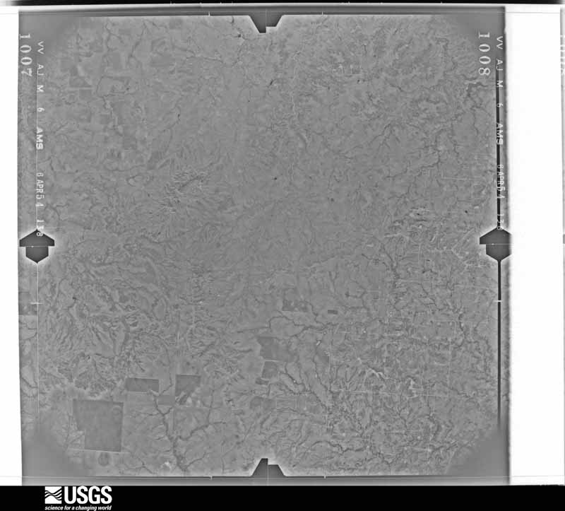
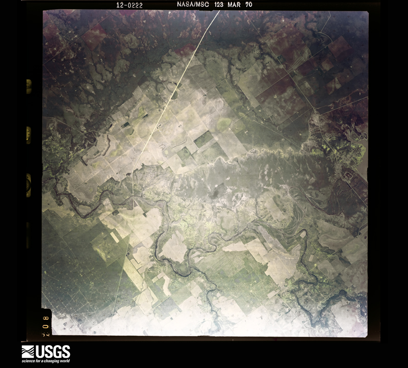
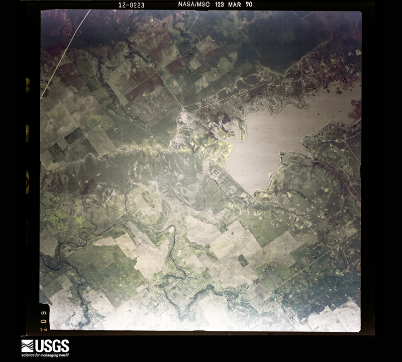
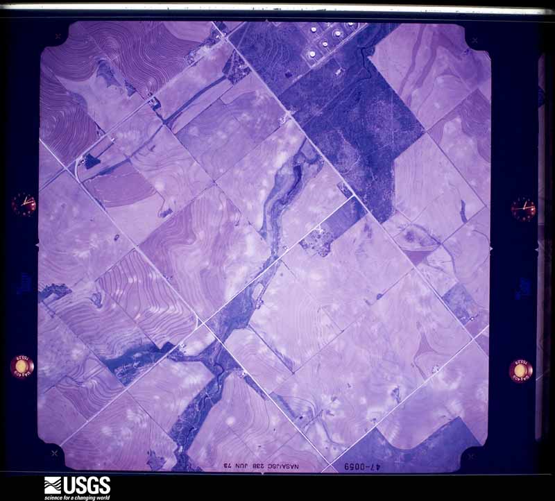
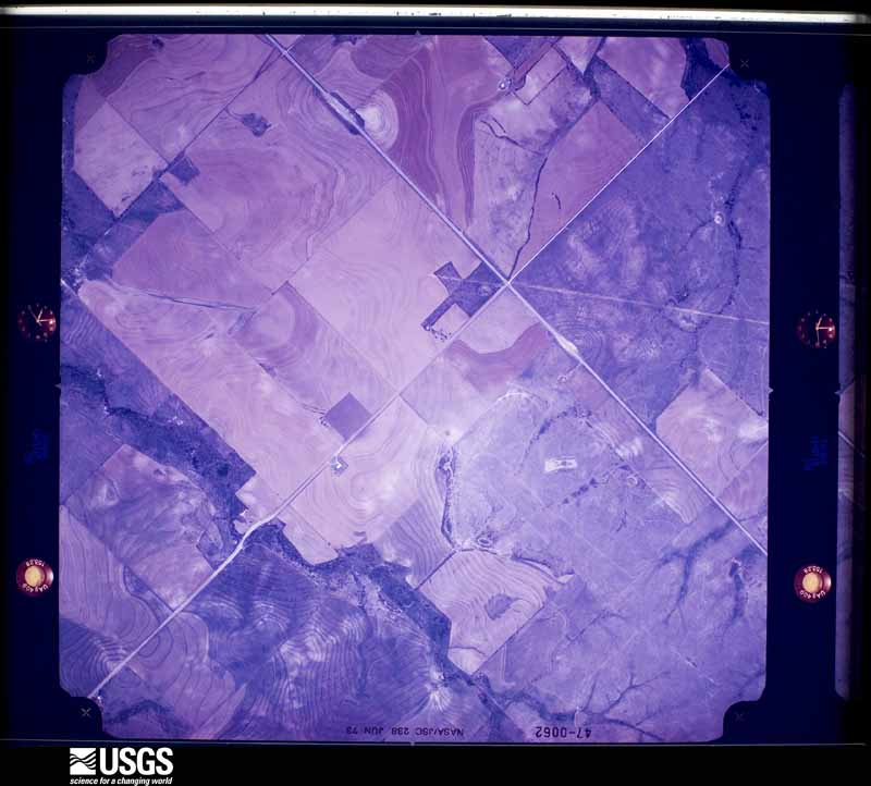
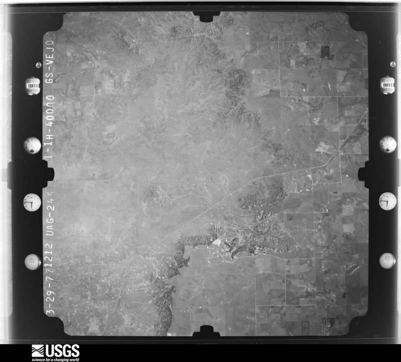
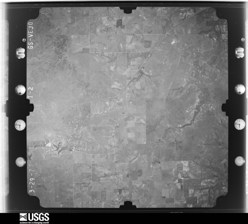
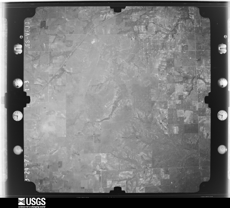
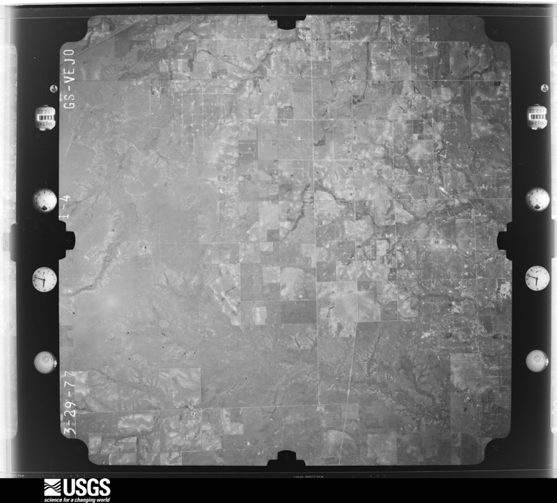
The county from the air
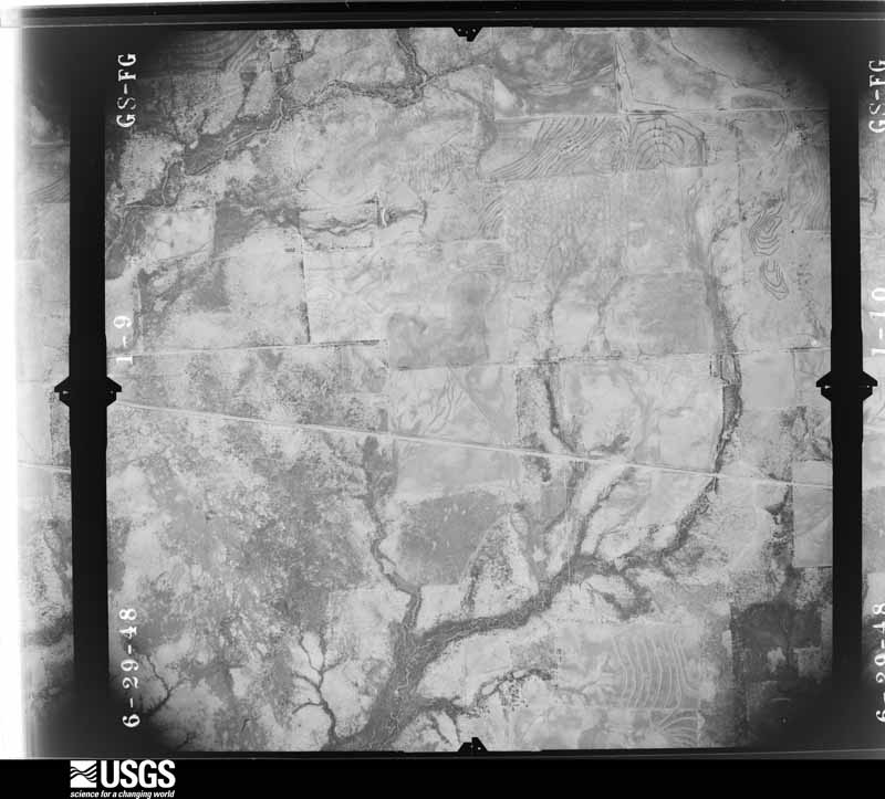
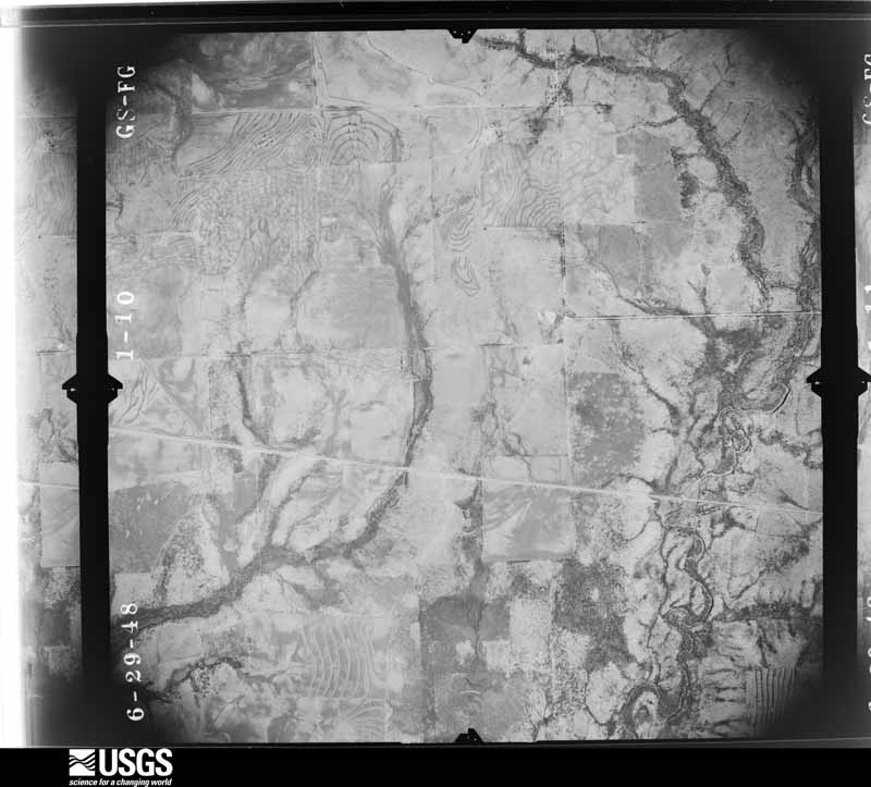
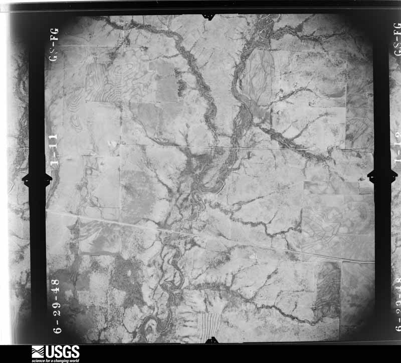
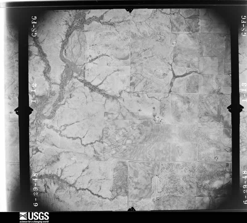
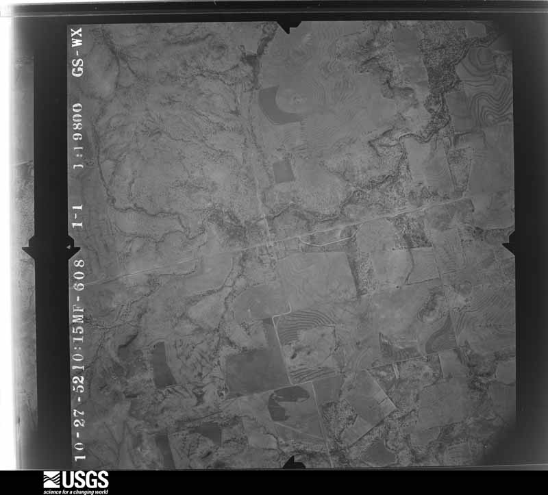
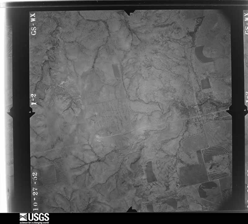
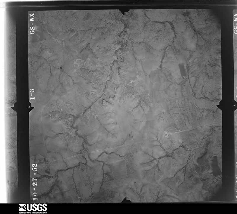
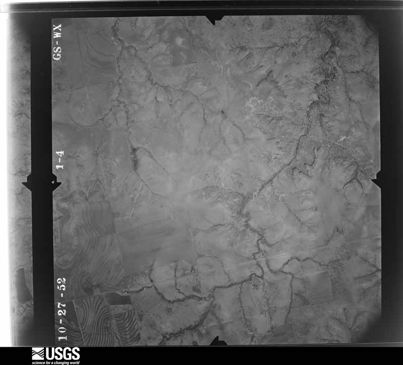
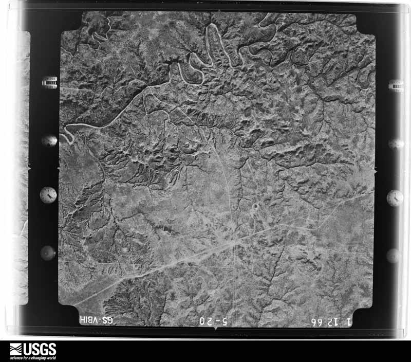
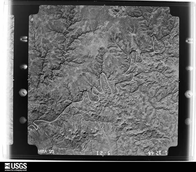
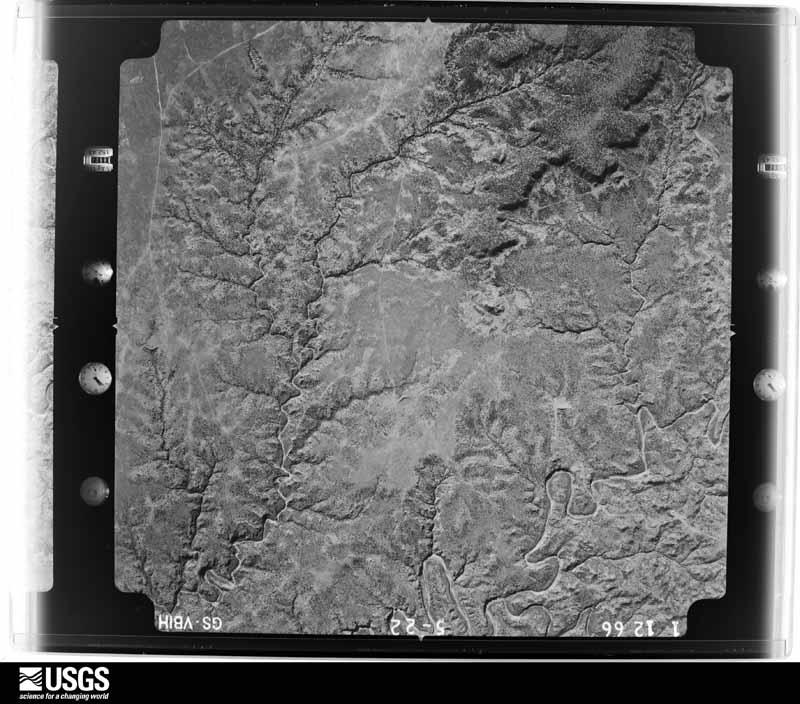
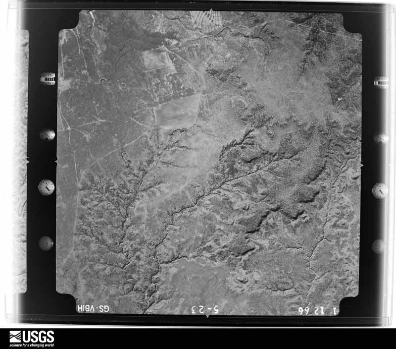
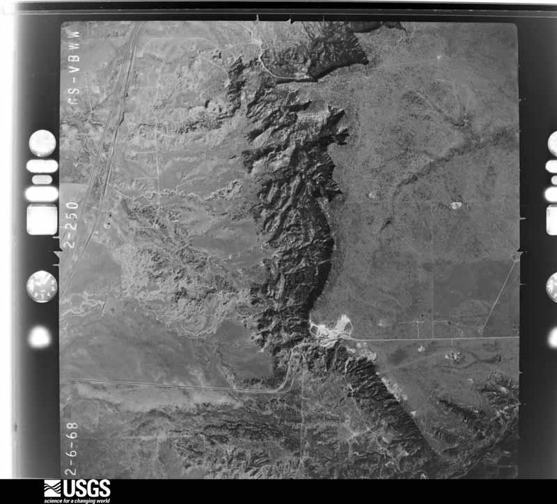
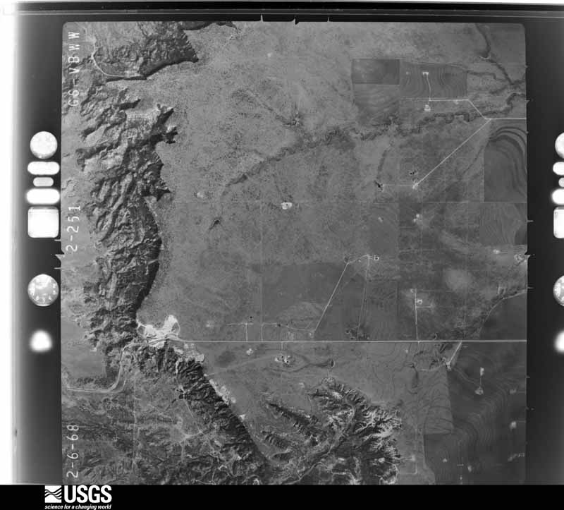
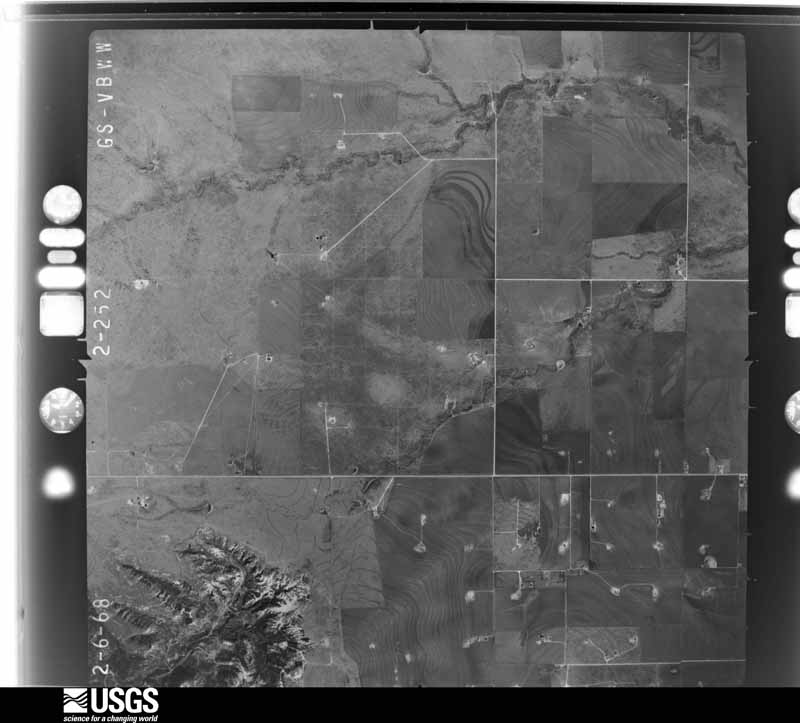
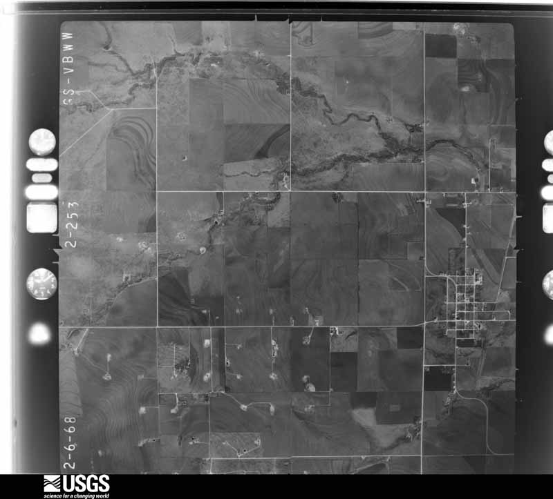
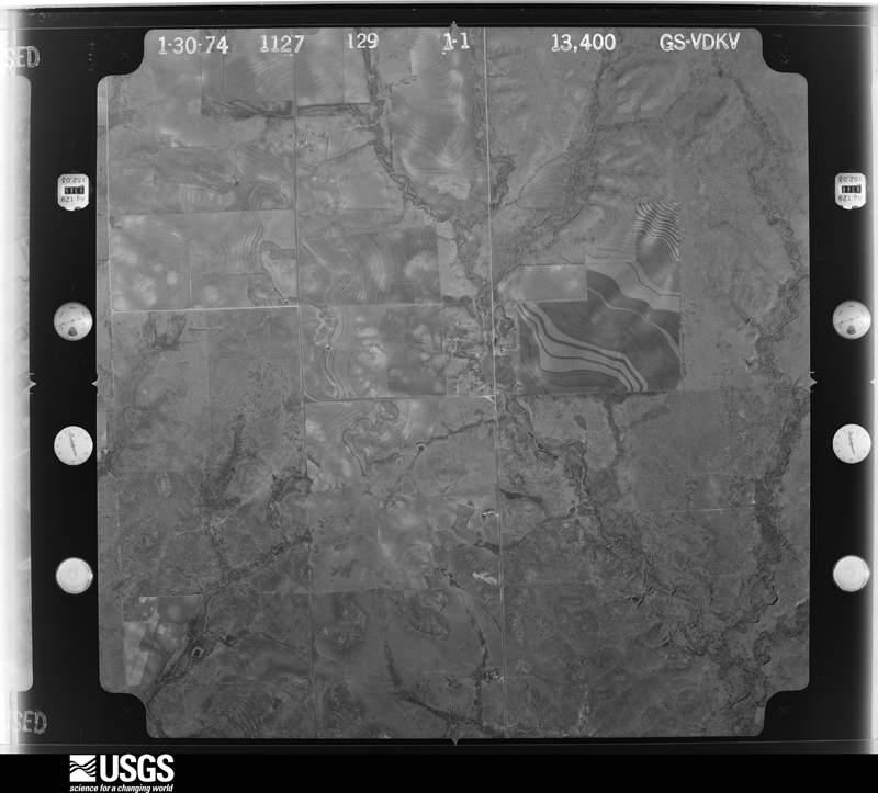
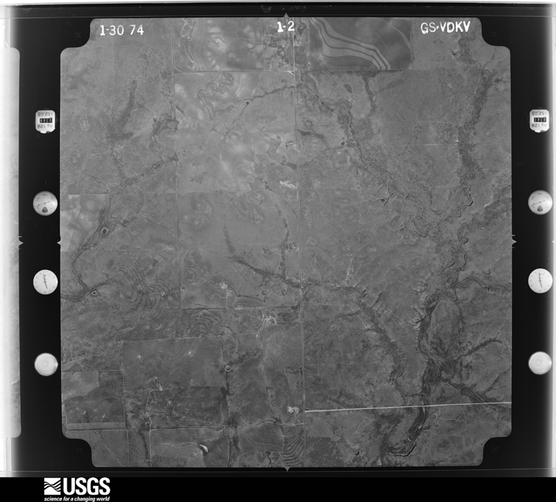
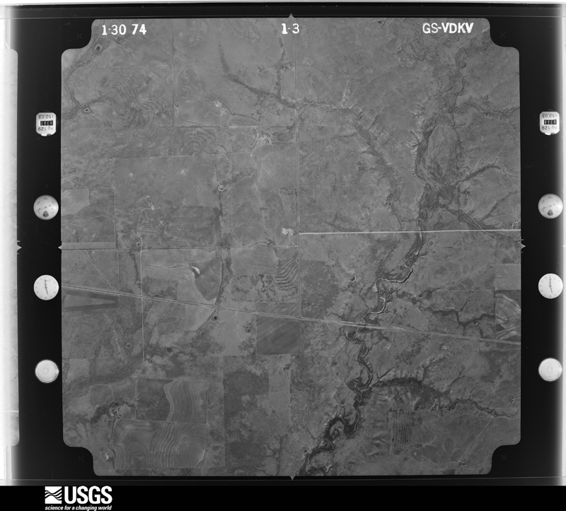
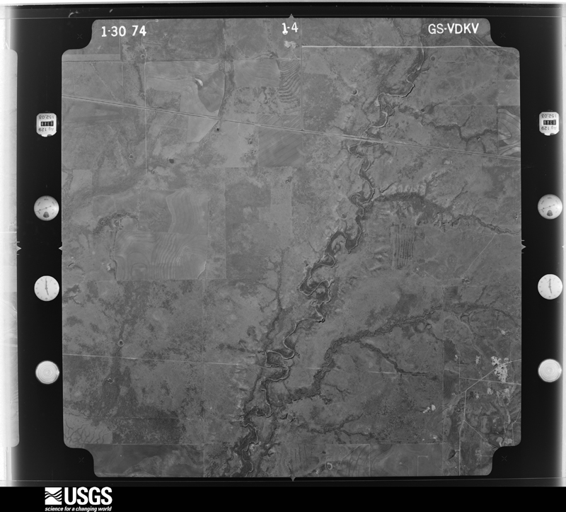
36 shownFlown by the U.S. Geological Survey between 1937 and 1989, the Aerial Photo Single Frames collection is the definitive mid-century view of the land: fields, roads and rivers as the camera saw them. The Survey holds 951 frames inside the rectangle that bounds this county; the 36 frames below were taken over the county itself, chosen across the decades of flights (at most four a year from that rectangle), so one flight cannot crowd out the rest. The full set is free to browse and download at EarthExplorer under the dataset Aerial Photo Single Frames.




Weather records
8 stations, 5 gagesThe thermometers that kept this county's weather, and the gages that measured the flow of its streams, as the federal records hold them. The extremes below are measured values from those records, not estimates.
- IRA 1900 to 1905, hottest 43.3 C, coldest -15.6 C
- SNYDER 1911 to 2026, hottest 46.1 C, coldest -23.9 C
- KNAPP 2 SW 1931 to 2013, hottest 21.1 C, coldest -3.9 C
- FLUVANNA 1934 to 1940
- HERMLEIGH 3.3 NW 2006 to 2007
- SNYDER 0.2 WNW 2010 to 2016
- SNYDER WINSTON FLD AP 2011 to 2026, hottest 43.9 C, coldest -32.1 C
- SNYDER 10.6 W 2015 to 2017
- Bluff Ck nr Ira, TX 1947 to 1965
- Bull Ck nr Ira, TX 1947 to 1962
- Colorado Rv at Hwy 350 nr Ira, TX 1947 to 1989
- Deep Ck nr Dunn, TX 1953 to 2026
- Graze Ck nr Westbrook, TX 1954 to 1959
The 1950 census, district by district
43 districtsWho lived here in 1950, one enumeration district at a time, as the Census Bureau described each district. Each row opens its official National Archives result, with Population Schedules and ED Maps available there.
- 208-1Snyder town, comprising parts of Commissioner's Precincts 1, 2, 3 and 4: Snyder town - That part of Ward 1 in Commissioner's Precinct 1 Bounded by Town limits; Town limits, Ave. E; 16th; Ave. M
- 208-2Snyder town - That part of Ward 1 in Commissioner's Precinct 1 Bounded by Town limits; Ave. M; 13th; Ave. S
- 208-3Snyder town - That part of Ward 1 in Commissioner's Precinct 1 Bounded by 13th; Ave. M; 19th; Ave. S
- 208-4Snyder town - That part of Ward 1 in Commissioner's Precinct 1 Bounded by 16th; Ave. I; 22nd; Ave. O, 19th, Ave. M
- 208-5BN/A
- 208-5AN/A
- 208-6Snyder town - That part of Ward 1 in Commissioner's Precinct 1 Bounded by 22nd, Ave. E, 23rd; Town limits; 25th; Ave. O
- 208-7Snyder town - That part of Ward 1 in Commissioner's Precinct 1 Bounded by 19th; Ave. O; 25th; Ave. S
- 208-8Snyder town - That part of Ward 1 in Commissioner's Precinct 2 Bounded by Town limits; Ave. S; 20th, Ave. T, 16th; Ave. V
- 208-9Snyder town - That part of Ward 1 in Commissioner's Precinct 2 Bounded by Town limits; Ave. V; 12th; Town limits
- 208-10Snyder town - That part of Ward 1 in Commissioner's Precinct 2 Bounded by 12th; Ave. V; 16th; Town limits
- 208-11Snyder town - That part of Ward 1 in Commissioner's Precinct 2 Bounded by 16th; Ave. T; 22nd; Town limits
- 208-12Snyder town - That part of Ward 1 in Commissioner's Precinct 2 Bounded by 22nd, Ave. T, 20th; Ave. S; 25th; Town limits
- 208-13Snyder town - That part of Ward 2 in Commissioner's Precinct 3 Bounded by 25th; Ave. S; 30th; Ave. V
- 208-14Snyder town - That part of Ward 2 in Commissioner's Precinct 3 Bounded by 25th; Ave. V; 30th; Town limits
- 208-15BN/A
- 208-15AN/A
- 208-16Snyder town - That part of Ward 3 in Commissioner's Precinct 4 Bounded by 25th; Town limits; State Highway 7, 30th; Ave. D
- 208-17Snyder town - That part of Ward 3 in Commissioner's Precinct 4 Bounded by 25th; Ave. D; 30th, Ave. F, 30th; Ave. H
- 208-18Snyder town - That part of Ward 3 in Commissioner's Precinct Bounded by 25th; Ave. H; Town limits; Ave. L
- 208-19Snyder town - That part of Ward 3 in Commissioner's Precinct 4 Bounded by 25th; Ave. L; Town limits; Roscoe, Snyder & Pacific Railroad
- 208-20Snyder town - That part of Ward 3 in Commissioner's Precinct 4 Bounded by 25th; Roscoe, Snyder & Pacific Railroad; Town limits; Ave. S, 31st, Ave. S
- 208-21Snyder town - That part of Ward 3 in Commissioner's Precinct 4 Bounded by 30th, Ave. F, 30th; Ave. D; Town limits; Ave. H
- 208-22Snyder town - That part of Ward 3 in Commissioner's Precinct 4 Bounded by 30th, State Highway 7; Town limits; Town limits; Ave. D
- 208-23Commissioner's Precinct 1, outside Snyder town: Commissioner's Precinct 1 - That part north of Ennis and Rough Creeks
- 208-24Commissioner's Precinct 1 - That part south of Ennis and Rough Creeks and east of Unnamed road extending northward from precinct line to Ennis Creek
- 208-25Commissioner's Precinct 1 - That part south of Ennis Creek and west of Unnamed road extending southward from Ennis Creek to precinct line, outside Snyder town (Remainder of Commissioner's Precinct 1 is in Snyder town)
- 208-26BCommissioner's Precinct 2 - That part Bounded by Unnamed road; Precinct line; Panhandle and Santa Fe Railway
- 208-26ACommissioner's Precinct 2 - That part Bounded by County line; Precinct line; Unnamed road; Panhandle and Santa Fe Railway
- 208-27Commissioner's Precinct 2 - That part west of U.S. Highway 84 and Dermott - Ira Rd.
- 208-28Commissioner's Precinct 2 - That part southwest of U.S. Highway 84 and east of Ira - Dermott Rd., outside Snyder town (Remainder of Commissioner's Precinct 2 is in Snyder town)
- 208-29Commissioner's Precinct 3. outside Snyder town: Commissioner's Precinct 3 - That part north of Unnamed road extending westward from Snyder to Ira - Dermott Rd. and east of Ira - Dermott Rd., outside Snyder town
- 208-30Commissioner's Precinct 3 - That part south of Unnamed road extending eastward from Ira - Dermott Rd. to Snyder town, north of Dunn - Ira Rd. and east of Ira - Dermott Rd., outside Snyder town
- 208-31Commissioner's Precinct 3 - That part west and south of Dermott - Ira - Dunn Rd. and east of Colorado River and Bluff Creek
- 208-32Commissioner's Precinct 3 - That part west of Colorado River and Bluff Creek (Remainder of Commissioner's Precinct 3 is in Snyder town)
- 208-33Commissioner's Precinct 4, outside Snyder town: Hermleigh town: Hermleigh town - That part east of U.S. Highway 84
- 208-34Commissioner's Precinct 4: Hermleigh town - That part west of U.S. Highway 84
- 208-35Commissioner's Precinct 4 - That part east of Unnamed road extending southward from precinct line to Hermleigh town and east of Roscoe, Snyder & Pacific Railroad, outside Hermleigh town
- 208-36Commissioner's Precinct 4 - That part west of Unnamed road extending southward from precinct line to Hermleigh town, north and east of Roscoe, Snyder & Pacific Railroad and east of State Highway 101, outside Hermleigh town
- 208-37Commissioner's Precinct 4 - That part west of State Highway 101, outside Snyder town
- 208-38Commissioner's Precinct 4 - That part south and west of Roscoe, Snyder & Pacific Railroad, north of Unnamed road from Roscoe, Snyder & Pacific Railroad to Wildcat Draw, north of Wildcat Draw and east of State Highway 101, outside Hermleigh town
- 208-39BCommissioner's Precinct 4 - That part south of Unnamed road extending from Wildcat Draw to Roscoe, Snyder & Pacific Railroad, west of Roscoe, Snyder & Pacific Railroad and east of Unnamed road extending northward from County line to Unnamed road
- 208-39ACommissioner's Precinct 4 - That part south of Wildcat Draw and Unnamed road extending from Wildcat Draw to Roscoe, Snyder & Pacific Railroad, west of Unnamed road extending southward from Unnamed road to County line and east of State Highway 101
Wildfire, 2006 to 2018
717 firesEvery wildfire the federal occurrence database records inside this county: 717 of them, burning about 64,190 acres. 34 started naturally and 3 were recorded as arson. Each settlement page carries the fires within five miles of it.
| Reported cause | Fires |
|---|---|
| Missing data/not specified/undetermined | 323 |
| Equipment and vehicle use | 136 |
| Power generation/transmission/distribution | 118 |
| Debris and open burning | 81 |
| Natural | 34 |
| Smoking | 9 |
| Recreation and ceremony | 7 |
| Misuse of fire by a minor | 4 |
| Arson/incendiarism | 3 |
| Railroad operations and maintenance | 2 |
The five largest, by the area the report gives. None of them was recorded as arson.
| Date | Cause | Size | Reported by | Name on the report |
|---|---|---|---|---|
| 23 February 2008 | Missing data/not specified/undetermined | 28,625 acres | Texas A & M Forest Service | SNYDER COMPLEX |
| 27 February 2011 | Missing data/not specified/undetermined | 7,500 acres | Texas A & M Forest Service | SHEPERDS COMPLEX FIRE |
| 25 April 2011 | Missing data/not specified/undetermined | 5,200 acres | Texas A & M Forest Service | FULLER RANCH FIRE |
| 9 July 2011 | Missing data/not specified/undetermined | 2,182 acres | Texas A & M Forest Service | BROWNING FIRE |
| 23 February 2008 | Missing data/not specified/undetermined | 1,968 acres | Texas A & M Forest Service | not named |
| 14 August 2012 | Equipment and vehicle use | 1,171 acres | Texas A & M Forest Service | RILEY FIRE |
| 8 March 2011 | Missing data/not specified/undetermined | 1,000 acres | Texas A & M Forest Service | BULLARD |
| 29 September 2015 | Power generation/transmission/distribution | 1,000 acres | Texas A & M Forest Service | SHANNON |
Every settlement page carries the fires within five miles of it - see the settlement index below.
Storms, 1955 to 2026
60 of 554 shownThe NOAA Storm Events Database holds 554 reports for this county, causing 1 death, 7 injuries and about $24,944,750 in recorded property damage. Each settlement page carries the reports that name it.
| Kind of event | Reports |
|---|---|
| Hail | 270 |
| Thunderstorm Wind | 167 |
| Flash Flood | 73 |
| Tornado | 41 |
| Heavy Rain | 3 |
The most serious of them, by death, then injury, then recorded damage. The accounts are quoted exactly as the forecast office filed them.
| When | Event | Place named | Harm | What the report says |
|---|---|---|---|---|
| June 1999 | Flash Flood | Countywide | 1 killed, $50,000 | A major flood and flash flood event occurred on the Friday night, June 11 and into Saturday afternoon, June 12. Four separate thunderstorm cells/complexes moved over Scurry County between 9pm and 2:15 am CDT Friday night with the first initial flooding report at 9:30pm west of Snyder on Highway 180. Rain totals of 5-7 inches were common across northern Scurry County, and heavy rains from the night of the 10th contributed to the flooding as well. At about 1:45 am, the Department of Public Safety reported water starting to flow over U.S. 84 between Snyder and Dermott. One more bout of heavy rain crossed over this area for the next half hour, then the storms moved off to the east.Department of Transportation personnel were waving at people attempting to keep them from entering the flood waters, but the drivers were not heeding this warning. A 48-year-old woman from Dallas, TX and her parents were in her sedan driving to the northwest on U.S. Highway 84 between Snyder and Dermott. At 2:47 am they entered the flooded waters 8.1 miles northwest of Snyder. The rushing waters were 2-3 feet deep running across the highway from Northeast to southwest. The car was pushed from the left lane into the center median that separates the northbound and southbound traffic of this four lane highway. The car disappeared into the waters in the median. The parents of the woman were rescued by a man in a following vehicle, but the woman could not be saved. Waters continued to rise for a short while later. Flooding on the highway receded about 5am. This highway was closed from Roscoe to Post until 11:15 am.Later in the morning more showers developed in Scurry County that caused additional minor flooding and thunderstorms developed in the afternoon in Dawson and Borden Counties that moved across the southern parts of Scurry County as well. Flash flooding was popping up for an extended period of time in several sections of the county.Deep Creek was above flood stage in the city of Snyder, cresting at 15.5 feet on Saturday morning, 4.5 feet above flood stage. One business and one house were flooded by rising waters. The running water also broke apart some asphalt on 26th St., and some bridges in town were flooded. |
| May 2021 | Hail | Snyder | 6 hurt, $500,000 | A thunderstorm produced three inch hail in Snyder. There were multiple reports of golf ball to softball sized hail in Snyder. There was a photo of hail up to 3.5 inches. There were numerous broken windows, busted solar panels, severely damaged roofs and vehicles, and damage to trees. Six injuries were reported. The cost of damage is a very rough estimate. |
| June 2018 | Thunderstorm Wind | Dunn | 1 hurt, $40,000 | A thunderstorm moved across Scurry County and produced wind damage in the southeast part of the county. Severe winds overturned a manufactured home near CR 4136 and CR 465 that resulted in one injury. This home was properly anchored to the ground but the survey team found that the estimated 110-120 mph winds caused the tie-down straps to fail and the house to roll from its original location. The cost of damage is a very rough estimate. |
| May 2006 | Hail | Snyder | $15,000,000 | Lime to baseball sized hail fell across Snyder for at least 15 minutes. The hail was blown sideways at times by 60 to 70 mph winds. This resulted in numerous broken windows in both buildings and vehicles, as well as damaged siding, roofs, and window air conditioning units. A damage survey was performed the following day by the National Weather Service. The most significant damage was found in an area bounded by A, E, 30th, and 37th Streets. In this area, an apartment complex sustained damage to 110 windows and numerous cars parked in its parking lot. Also in this area was a car dealership that sustained major damage to at least 140 cars. Over a million dollars in damage was estimated to have been done just to county owned buildings and vehicles, with an additional quarter of a million dollars in damage to city owned buildings and vehicles. Ten to eighteen vehicles used by the Snyder Police Department were damaged. Three of these were removed from service because of the damage sustained. Hail scouring was evident on many roads throughout Snyder. |
| June 1999 | Hail | Snyder | $4,000,000 | Hail fell from the southern end of a multicell cluster moving east across Scurry County. Numerous cars and roofs were damaged from 24th Street to 44th Street. |
| July 2025 | Thunderstorm Wind | Winston | $825,000 | Trees and power lines were blown down in Snyder. A few roofs were blown off as well. Pictures also showed billboard signs blown off and damage to garage doors and fences. The time of occurrence is estimated from radar. The cost of damages is also estimated. |
| May 2022 | Tornado (EF2) | Hermleigh | $650,000 | A thunderstorm produced a tornado in Scurry County in and near the town of Hermleigh. The tornado touched down approximately one mile northwest of Hermleigh near the intersection of County Road 4111 and County Road 4116. The tornado snapped numerous power poles as it crossed over County Road 4111 and continued moving east northeast. As the tornado approached US Highway 84, it produced EF-2 level damage at a home and detached garage where most of the roofing material was ripped off and concrete anchorage failure occurred. Large vehicles, trailers, and other debris were scattered up to 100 yards west of this home. The tornado continued onward, crossing US Highway 84 where it impacted a trailer park. Numerous mobile homes were flipped or tossed towards the west southwest as the backside of the tornadic circulation passed over the RV park. The tornado continued moving northeast and eventually occluded on the north side of town. Peak wind speeds in the tornado were estimated to be approximately 115 mph. The cost of damage is a very rough estimate. |
| June 1999 | Hail | Dunn | $600,000 | Hail up to baseball size pounded the countryside near Dunn. Cars and houses suffered extensive damage in the area. Holes were knocked in vinyl siding. |
| June 2008 | Thunderstorm Wind | Snyder | $500,000 | Very strong thunderstorm winds impacted the city of Snyder. The West Texas Mesonet site recorded a peak gust of 82 mph. Widespread damage occurred across the city. At least 50 power poles were downed by these high winds. A residental and commercial carport were blown over. In addition, several commercial and residental roofs received substantial damage. In one instance, the roof from a downtown business was tossed into an adjacent bank parking lot, causing damage to the front of a bank. I another case, portions of an irregular shaped roof were blow onto cars in a nearby lot. |
| July 2025 | Thunderstorm Wind | Cemetary | $225,000 | Local FD sent in pictures of multiple trees down or snapped large branches. Multiple buildings had pieces of metal siding or awnings pulled off. The time of occurrence is estimated from radar. The cost of damages is also estimated. |
| June 2018 | Thunderstorm Wind | Cemetary | $200,000 | A thunderstorm moved across Scurry County and produced wind damage across the southeast portion of Scurry County. Winds were around 100 to 110 mph and snapped and mangled over 200 wooden power poles. The cost of damage is a very rough estimate. |
| June 2018 | Thunderstorm Wind | Dunn | $200,000 | A thunderstorm moved across Scurry County and produced wind damage across the southeast portion of Scurry County. Winds were around 100 to 110 mph and snapped and mangled over 200 wooden power poles. The cost of damage is a very rough estimate. |
| May 2022 | Thunderstorm Wind | Dunn | $190,000 | A thunderstorm moved across Scurry County and produced wind damage. The areas of damage were northwest of Hermleigh, locations to the south of a tornado that impacted the northwest side of Hermleigh, and a rural area east of Dunn. This damage included snapped power poles, significant damage to trees and roofs, and an overturned manufactured home. Given the orientation of the damage, and re-analyzing the radar data, this damage was determined to be caused by rear-flank downdraft winds, with estimated peak wind speeds of 85-100 mph. The cost of damage is a very rough estimate. |
| June 2018 | Thunderstorm Wind | Cemetary | $170,000 | A thunderstorm moved across Scurry County and produced wind damage near Snyder. An 18-wheeler was blown over south of Snyder on Highway 208. The cost of damage is a very rough estimate. |
| May 1998 | Hail | Dunn | $150,000 | This storm was a supercell with a moderate to strong anti-cyclonically rotating updraft. The storm entered Scurry County from the south out of Mitchell County and dropped large hail over much of eastern Scurry County. In the China Grove community baseball size hail was reported. |
| June 2004 | Thunderstorm Wind | Snyder | $140,000 | no account filed |
| August 2023 | Thunderstorm Wind | Snyder | $100,000 | A large swath of damage with numerous powerline poles down resulted in overnight power outages for the city of Snyder and much of the surrounding area. The time of damage is based on radar analysis. Wind speed is estimated to be approximately 100 mph. Property damage cost is an estimation. |
| March 2019 | Thunderstorm Wind | Union | $100,000 | A thunderstorm moved across Scurry County and produced wind damage near Snyder. A storm survey was done and the first indications of damage were southwest of Snyder, just west of Highway 351 and approximately 2 miles south of Highway 180. From this location, the swath of damage extended northeastward across the city of Snyder for nearly 4 miles. The NWS survey team found the damage to residential and business structures indicative of that produced by winds of 85 to 100 mph. With no circulations evident, the event has been determined to be a straight-line wind event. Multiple power lines were broken and RVs were toppled over. The time of the event was estimated from radar. The cost of damage is a very rough estimate. |
| July 2025 | Thunderstorm Wind | Winston | $75,000 | Local FD reported 14 broken power poles across far southern areas of Snyder. The estimated peak wind speed was 85-90 mph. The time of occurrence is estimated from radar. The cost of damages is also estimated. |
| September 2016 | Thunderstorm Wind | Winston | $70,000 | A thunderstorm moved across Scurry County and produced wind damage in Snyder. A storm survey was conducted and it was determined that the winds were 75 to 85 mph. There was heavy roof and carport damage in Snyder. There was a roof blown off of a business, and a store was filled with insulation and rain water. The cost of damage is a very rough estimate. |
| June 2003 | Thunderstorm Wind | Snyder | $60,000 | A severe thunderstorm wind gust was measured by the West Texas Mesonet site near Snyder. Several warehouse-type structures received considerable damage. |
| December 2018 | Thunderstorm Wind | Winston | $50,000 | A thunderstorm moved across Scurry County and produced damage in and near Snyder. There was a tin roof blown off a local business, a couple of trees were blown over, and an 18 wheeler about 15 miles south of Snyder on Highway 84 was blown over. These events occurred around 3 pm. The wind speed is estimated and the cost of damage is a very rough estimate. |
| October 1993 | Thunderstorm Wind | Snyder | $50,000 | A tornado was reported near Union by the Scurry County Sheriff's Office at 2120 CST. Also, power poles were twisted off, and power lines and fences were knocked down in northeast Snyder. |
| April 1993 | Thunderstorm Wind | Snyder | $50,000 | As the Borden County storm moved across Scurry County, downburst winds downed trees and power lines in Snyder. Roof and window damage was inflicted on several homes, according to spotters and the Snyder Police Department. |
| May 1993 | Thunderstorm Wind | Snyder | $50,000 | Downburst winds gusting to 72 miles an hour destroyed a barn and a house trailer just west of Snyder. In Ira, the wind damaged a carport. Power lines were also reported down across the county. |
| May 1995 | Tornado (F1) | Hermleigh | $50,000 | no account filed |
| April 2008 | Thunderstorm Wind | Winston | $40,000 | Strong winds caused trees to be uprooted in a local park. |
| July 2004 | Flash Flood | Snyder | $30,000 | A cold front approached the northern Permian Basin of west Texas during the afternoon of the 24th. The front interacted with a tropical airmass over the region and resulted in scattered thunderstorm development. Very heavy rainfall over Snyder caused flash flooding in city streets. Fire department officials reported minor flooding that began shortly after 13:30 CST. Conditions then rapidly deteriorated with high water rescues of stranded motorists conducted by 14:00 CST.The flash flood event in Snyder on the afternoon of Saturday, July 24th kicked off an extensive flash flooding episode across west Texas and southeastern New Mexico. Widespread heavy rainfall erupted over the region during the early morning hours Sunday, July 25th as the cold front swept south. |
| June 1999 | Thunderstorm Wind | Fluvanna | $30,000 | Rear-flank downdraft winds blew a car off the road and blew down 40 utility poles near Fluvanna. Five Hundred customers lost power with some power outages lasting until 5:30 Sunday morning (over 32 hours). |
| June 2024 | Thunderstorm Wind | Knapp | $25,000 | Ten powerline poles snapped with damage, all lying in the same direction and facing ESE. Multiple power poles snapped near the middle. The time was estimated from radar. Wind gust and property damage costs are estimations. |
| June 2024 | Thunderstorm Wind | Ira | $25,000 | The lids of tank batteries were blown off, and two empty tank batteries were displaced. One skidded about 200 yards from its original location, while the other blew nearly 820 yards into a pond. Wind gust speeds and property damage costs are estimations. |
| May 1968 | Tornado (F3) | not stated | $25,000 | no account filed |
| May 1968 | Tornado (F3) | not stated | $25,000 | no account filed |
| May 1968 | Tornado (F3) | not stated | $25,000 | no account filed |
| May 2025 | Thunderstorm Wind | Brand | $20,000 | Snyder FD reported a broken power pole and flattened hay in a field near FM 1611 north of Snyder. This was likely the result of a microburst. The time of occurrence is estimated by radar. The wind speed is estimated by the extent of the damage reported, and the cost of the damage is also estimated. |
| June 2025 | Thunderstorm Wind | Fluvanna | $20,000 | The local fire department reported multiple large tree limbs down, along with roof damage to a building. Time was estimated from radar. Wind speeds were estimated to have been approximately 80 MPH. The property damage cost is an estimation. |
| October 2023 | Flash Flood | Fluvanna | $20,000 | FM 612 has flooding in multiple locations. A school bus has become stalled as a result of a low water crossing. Property damage cost is an estimation. |
| September 2016 | Thunderstorm Wind | Winston | $20,000 | A thunderstorm moved across Scurry County and produced wind damage in Snyder. A damage survey was conducted and it was determined that the wind speed ranged from 60 to 85 mph. There was damage to power lines, telephone poles, and trees. The cost of damage is a very rough estimate. |
| May 2015 | Thunderstorm Wind | Snyder | $20,000 | A thunderstorm moved across Scurry County and produced three severe wind gusts from 225 am to 235 am CDT as measured by the Snyder Mesonet. An SPC forecaster reported major roof damage at a motel in Snyder. The cost of damage is a very rough estimate. |
| May 2015 | Thunderstorm Wind | Snyder | $20,000 | A thunderstorm moved across Scurry County and produced seven severe wind gusts beginning at 345 am and ending at 425 am CDT as indicated by the Snyder mesonet. The highest gust reported was 67 mph. A SPC forecaster reported major roof damage at a motel in Snyder. The cost of damage is a very rough estimate. |
| April 2008 | Tornado (EF1) | Snyder Winston Arpt | $20,000 | A tornado developed near the city of Winston. In Towle Park, large trees were uprooted. At the nearby High School, a 20x40 storage building adjacent to the school was rolled and destroyed. The new football scoreboard was also demolished. The uprooting of well established trees in Towle Park and the damage observed to the storage building at Snyder High School are indicative of EF1 tornado damage. EF1 damage was also observed along Voss Lane near the end of the Snyder tornado life cycle, where metal farm buildings sustained significant damage. Wind speeds for this tornado are estimated at 90-100 mph, which is believed to have stayed on the ground for approximately 3.5 minutes, travelling approximately 1.75 miles. The tornado width is estimated at 100 yards.|||A 59 mph wind gust from the north was measured at Winston Field at 3:05 pm. A 69 mph wind gust from the northwest was measured at the Texas Tech Mesonet station located 3 miles east of Snyder at 3:10 pm. In both cases, these wind gusts occurred after the tornadic supercell thunderstorm had already moved east of the area. |
| April 2008 | Thunderstorm Wind | Cemetary | $20,000 | Powerlines were downed by strong thunderstorm winds. |
| August 2005 | Flash Flood | Snyder | $20,000 | The Snyder Police department reported widespread flooding of streets in Snyder and on rural roads around Snyder. Several cars had floated off roads into bar ditches. One high water rescue was performed by local officials in Snyder. |
| February 2001 | Thunderstorm Wind | Snyder | $20,000 | High winds produced by a severe thunderstorm resulted in the roof blowing off a 30' X 70'' commercial building and then landing on two parked cars in an adjacent parking lot. |
| May 1996 | Thunderstorm Wind | Union | $20,000 | no account filed |
| October 2023 | Thunderstorm Wind | Union | $18,000 | Eleven power poles were reported down between County Road 242 and County Road 264 along FM 1611. Time estimated from radar. Wind speeds were estimated to be 100 mph. Property cost damage is an estimation. |
| June 2020 | Thunderstorm Wind | Snyder | $17,000 | A thunderstorm moved across Scurry County and produced a 72 mph wind gust at the mesonet site near Snyder. A 100 foot radio tower in Snyder was blown over due to the winds. The cost of damage is a very rough estimate. |
| October 2023 | Thunderstorm Wind | Brand | $15,000 | Nine power poles were reported down at the intersection of Highway 85 and County Road 258. Wind speeds were estimated to be 100 mph. Time was estimated from radar. Property cost damage is an estimation. |
| August 2020 | Thunderstorm Wind | Ira | $15,000 | A thunderstorm moved across Scurry County and produced wind damage in IRA. Two panels of metal roof were peeled off and water damage was inside the structure. The cost of damage is a very rough estimate. |
| March 2004 | Flash Flood | Snyder | $15,000 | Numerous roads were inudated by high water in the city of Snyder. In addition, Deep Creek flooded in the city. As a result, several vehicles stalled in high water. The Snyder Fire Department conducted several high water rescues. No injuries were reported. |
| May 2002 | Tornado (F0) | Ira | $15,000 | Road signs and four power poles were blown down when a tornado crossed Highway 350. |
| July 2002 | Flash Flood | Snyder | $15,000 | Flooding was reported along Highway 84. This resulted in two car accidents. However, no injuries were reported. |
| June 2024 | Thunderstorm Wind | Knapp | $10,000 | Six power line poles were snapped. The damage was all in the same direction, towards the south. Wind gust speed and property damage cost are estimations. |
| July 2023 | Thunderstorm Wind | Snyder | $10,000 | Emergency Manager was dispatched for an empty 18-wheeler blown over on Hwy 84 and Hwy 180. Estimated wind speeds were 60 mph. Property damage cost is an estimation. |
| June 2018 | Thunderstorm Wind | Hermleigh | $10,000 | A thunderstorm moved across Scurry County and produced wind damage in the southeast part of the county. Straight-line winds near 85 to 90 mph ripped apart a metal barn near FM 1606 and CR 4105. Winds blew into the southeast facing opening of the building, lifting the roof and blowing out the walls. Parts of the metal roof were blown about 300 yards downwind, or northwest, of the original location of the barn. The cost of damage is a very rough estimate. |
| June 2014 | Thunderstorm Wind | Snyder | $10,000 | A thunderstorm moved across Scurry County and produced wind damage near Snyder. An 18 wheeler was blown over on US Highway 84. The cost of damage is a rough estimate. |
| April 2008 | Tornado (EF0) | Knapp | $10,000 | The NWS survey conducted by WFO Midland did confirm power pole damaged approximately 2.8 miles south of the Union community along Farm to Market Road 1609. This tornado damage was indicative of EF0 intensity. Based on radar imagery and storm speed, primary indications are that the tornado path extended to the west of Farm to Market Road 1609 for approximately 4-6 miles. The width of the tornado is estimated at 50 yards. |
| April 2008 | Thunderstorm Wind | Winston | $10,000 | Strong winds blew over a scoreboard and storage building. A/C units were also blown off their slabs. |
| April 2007 | Flash Flood | Snyder | $10,000 | The Snyder Daily News reported two motorists stranded by high water. One motorist was stuck under the College Avenue bridge. The other motorists location was not disclosed. |
| June 2006 | Thunderstorm Wind | Snyder | $10,000 | The Automated Weather Observing System at Winston Field Airport outside of Snyder (KSNK) recorded a wind gust of 75 mph. Shortly thereafter, the public reported 70 mph winds near the Scurry/Kent County line. The severe wind snapped six inch diameter trees seven feet off the ground, and downed two utility poles. |
Mines and quarries
2 recordedThe Survey's mineral resources record lists 2 workings inside this county. All of them still produce. Each settlement page carries the workings within five miles of it.
| Commodity | Workings |
|---|---|
| Clay | 1 |
| Magnesite | 1 |
The least common of them first, because a county's hundredth gravel pit says nothing its first ten did not.
| Where | Site | Commodity | Status | Recorded |
|---|---|---|---|---|
| American Magnesium Plant | Magnesite | Producer | ||
| Southwestern Brick Inc | Clay | Producer |
Every populated place in the county
17Named settlements recorded in the Geographic Names Information System, each with the topographic sheets covering it. Villages, hamlets and abandoned places alike. Each is shown with the nearest named watercourse or landform and the survey quadrangle it falls on.
-
Arah
Fluvanna-Ira census division · 79549 · Near Mooar Draw · Arah quadrangle
8 sheets, 1954 to 1986
-
Knapp
Fluvanna-Ira census division · 79527 · On Chimney Creek · Ira NE quadrangle
9 sheets, 1952 to 1986
-
Snyder
Snyder census division · 79549 · On South Fork Deep Creek · Snyder quadrangle
10 sheets, 1952 to 1985
Provenance
- Topographic sheets. USGS Historical Topographic Map Collection, county index, measured from the bulk metadata.
- Fire insurance maps. Library of Congress Sanborn collection, faceted to this county.
- Photographs. Each place queried individually against the Library of Congress Prints and Photographs search.
- Wildfire. Short, Karen C. 2022. Spatial wildfire occurrence data for the United States, 1992-2020 [FPA_FOD_20221014]. 6th Edition. Fort Collins, CO: Forest Service Research Data Archive. https://doi.org/10.2737/RDS-2013-0009.6 Collected with United States Government funding and usable without additional permissions or fees.
- Mines and quarries. USGS Mineral Resources Data System (MRDS) https://mrdata.usgs.gov/mrds/ A work of the United States government, no copyright under 17 U.S.C. 105.
- Storms. NOAA National Centers for Environmental Information, Storm Events Database https://www.ncei.noaa.gov/stormevents/ A work of the United States government, no copyright under 17 U.S.C. 105. Narratives are quoted verbatim from the National Weather Service report and are not edited or summarised.