 Block
BlockSherman County, Texas
15 topographic sheets cover 4 settlements here.
Research this county
What the record shows
- 25 topographic sheet readings cover the county's settlements.
- The Geographic Names Information System records 4 populated places in this county; 4 are covered by at least one topographic sheet.
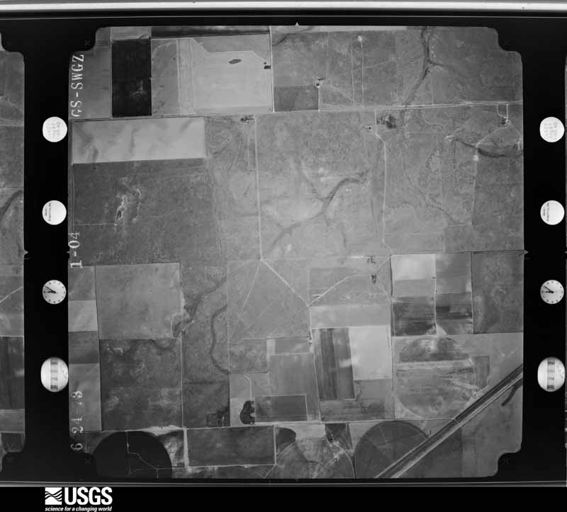
The county from the air
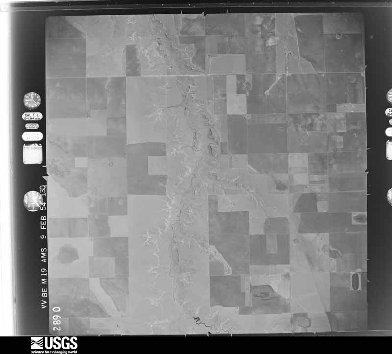
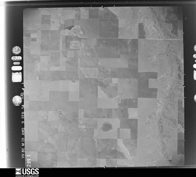
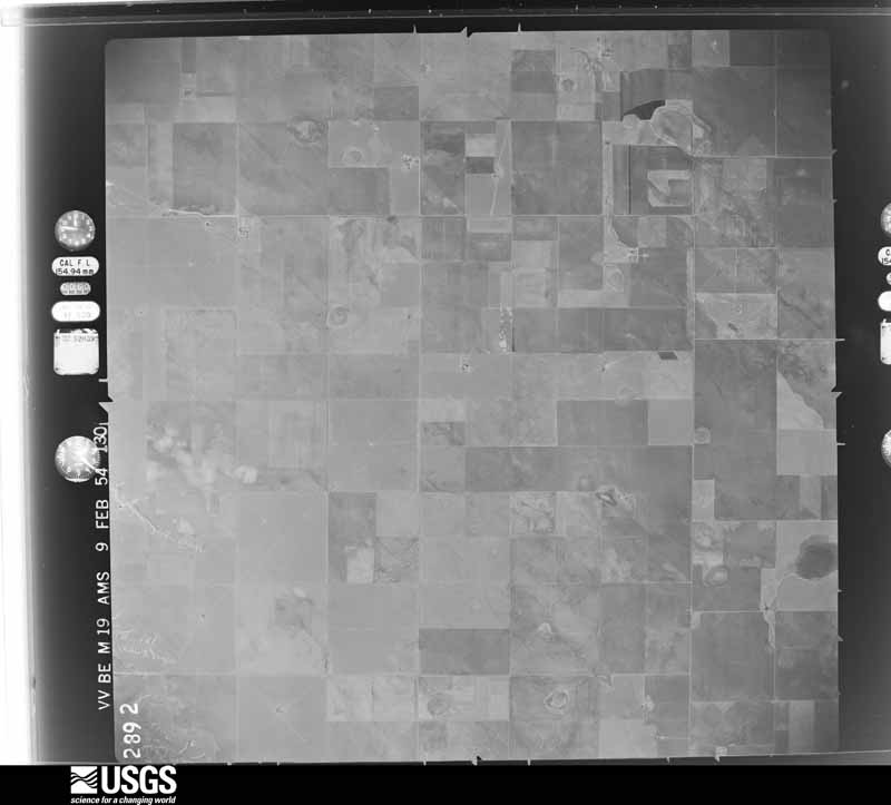
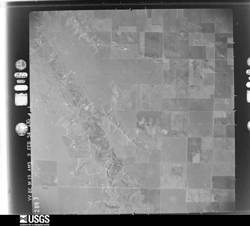
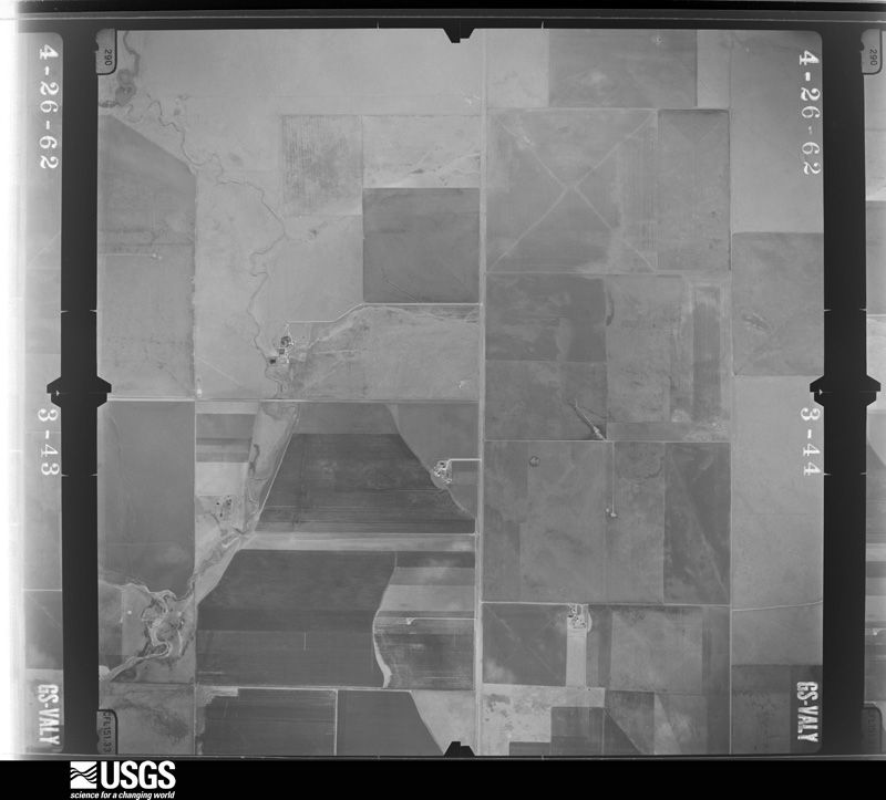
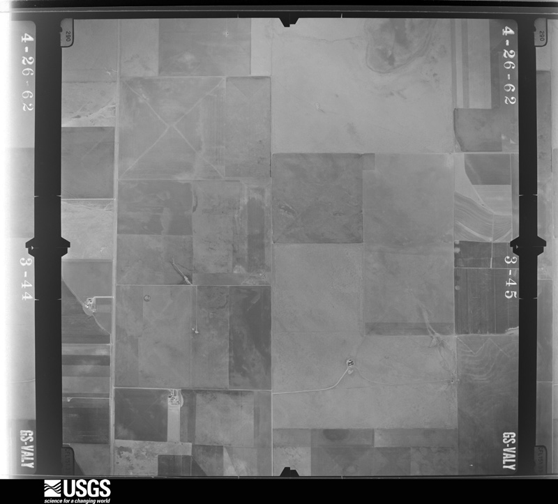
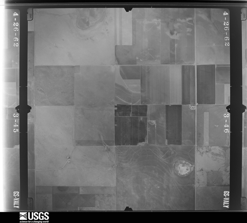
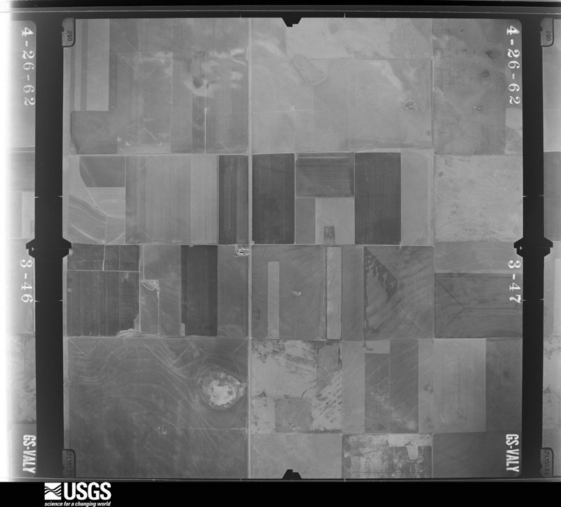
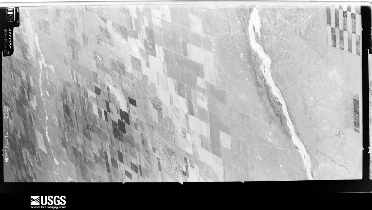
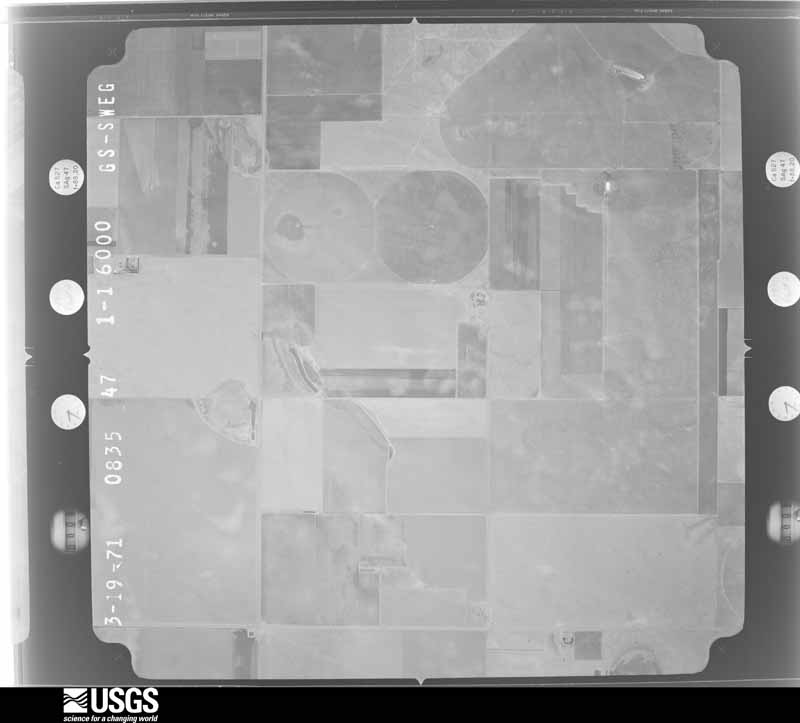
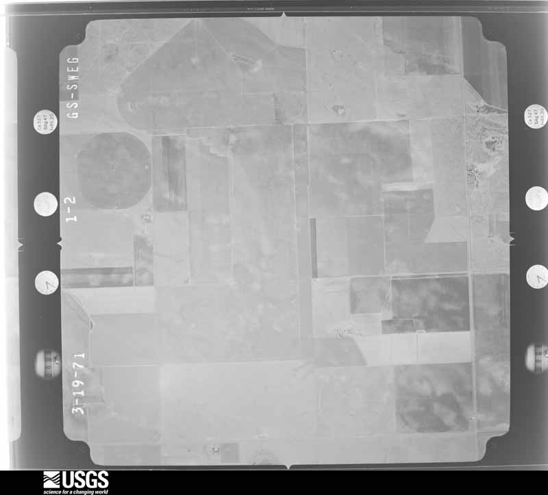
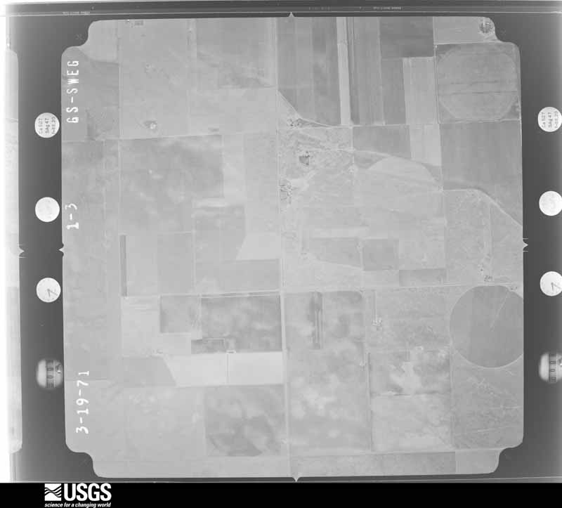
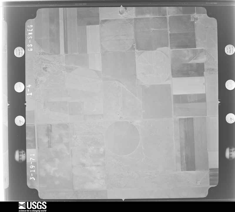
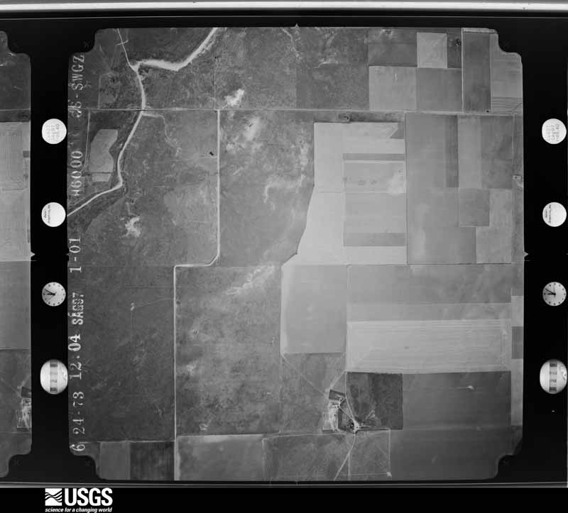
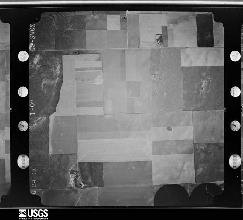
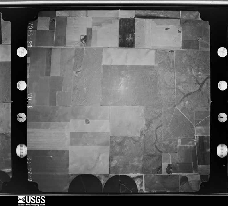
20 shownFlown by the U.S. Geological Survey between 1937 and 1989, the Aerial Photo Single Frames collection is the definitive mid-century view of the land: fields, roads and rivers as the camera saw them. The Survey holds 809 frames inside the rectangle that bounds this county; the 20 frames below were taken over the county itself, chosen across the decades of flights (at most four a year from that rectangle), so one flight cannot crowd out the rest. The full set is free to browse and download at EarthExplorer under the dataset Aerial Photo Single Frames.



Weather records
3 stationsThe thermometers that kept this county's weather, as the federal records hold them. The extremes below are measured values from those records, not estimates.
- STRATFORD 1911 to 2019, hottest 42.2 C, coldest -28.9 C
- ETTER NEAR 1941 to 1945
- STRATFORD 0.5 ESE 2005 to 2026
The 1950 census, district by district
6 districtsWho lived here in 1950, one enumeration district at a time, as the Census Bureau described each district. Each row opens its official National Archives result, with Population Schedules and ED Maps available there.
Wildfire, 1999 to 2020
85 firesEvery wildfire the federal occurrence database records inside this county: 85 of them, burning about 37,551 acres. 16 started naturally and 1 was recorded as arson. Each settlement page carries the fires within five miles of it.
| Reported cause | Fires |
|---|---|
| Missing data/not specified/undetermined | 41 |
| Equipment and vehicle use | 18 |
| Natural | 16 |
| Power generation/transmission/distribution | 3 |
| Debris and open burning | 3 |
| Smoking | 2 |
| Railroad operations and maintenance | 1 |
| Arson/incendiarism | 1 |
The five largest, by the area the report gives. None of them was recorded as arson.
| Date | Cause | Size | Reported by | Name on the report |
|---|---|---|---|---|
| 30 October 1999 | Missing data/not specified/undetermined | 30,000 acres | Texas A & M Forest Service | CHANNING |
| 3 August 2016 | Natural | 1,300 acres | Texas A & M Forest Service | LIGHTENING |
| 13 June 2020 | Missing data/not specified/undetermined | 1,150 acres | Texas A & M Forest Service | COLDWATER RANCH FIRE |
| 22 October 2016 | Missing data/not specified/undetermined | 1,000 acres | Texas A & M Forest Service | GUN FIRE |
| 7 June 2008 | Natural | 500 acres | Texas A & M Forest Service | not named |
| 23 May 2006 | Natural | 400 acres | Texas A & M Forest Service | not named |
| 13 July 2011 | Natural | 320 acres | Texas A & M Forest Service | MURRELL/STEDJIE FIRE |
| 11 July 2020 | Natural | 300 acres | Texas A & M Forest Service | CR 13 & CR CC FIRE |
Every settlement page carries the fires within five miles of it - see the settlement index below.
Storms, 1955 to 2025
60 of 321 shownThe NOAA Storm Events Database holds 321 reports for this county, causing no deaths, no injuries and about $748,190 in recorded property damage. Each settlement page carries the reports that name it.
| Kind of event | Reports |
|---|---|
| Hail | 195 |
| Thunderstorm Wind | 79 |
| Tornado | 43 |
| Flood | 2 |
| Flash Flood | 1 |
| Funnel Cloud | 1 |
The most serious of them, by death, then injury, then recorded damage. The accounts are quoted exactly as the forecast office filed them.
| When | Event | Place named | Harm | What the report says |
|---|---|---|---|---|
| July 1987 | Tornado (F1) | not stated | $250,000 | no account filed |
| May 1978 | Tornado (F0) | not stated | $250,000 | no account filed |
| July 1996 | Thunderstorm Wind | Texhoma | $100,000 | no account filed |
| September 2012 | Thunderstorm Wind | Lautz | $40,000 | A storm chaser reported significant damage to a center pivot system due to the strong thunderstorm wind gusts on the north side of Texas State Highway 15 east of Stratford, Texas. There were no reports of injuries or fatalities. |
| April 1972 | Tornado (F1) | not stated | $25,000 | no account filed |
| May 2010 | Hail | Mallett | $15,000 | The Sherman County Emergency Manager reported considerable roof and automobile damage in Stratford Texas. |
| June 2003 | Thunderstorm Wind | Stratford | $15,000 | Power lines were reported blown down due the high winds. |
| June 2005 | Thunderstorm Wind | Stratford | $14,000 | Several power poles blown down along with large trees blown down and large tree branches broken due to the high winds. |
| May 2010 | Tornado (EF0) | Stratford | $12,000 | The tornado touched down about fifteen miles east of Stratford at 2227 CST. The tornado remained on the ground for about one mile with a maximum path width of eight hundred and eighty yards. The tornado dissipated at 2231 CST. A few irrigation pivots were damaged by the tornado. |
| June 2005 | Thunderstorm Wind | Stratford | $10,000 | Five power poles reportedly blown down which left electrical wires scattered across U.S. Highway 54. |
| June 2025 | Hail | Texhoma | $10,000 | no account filed |
| August 2011 | Thunderstorm Wind | Mallett | $5,000 | Local law enforcement officials in Sherman County reported that the thunderstorm wind gust knocked down several power poles about five miles east of Stratford Texas. There were no reports of injuries or fatalities. |
| August 2013 | Thunderstorm Wind | Lautz | $1,000 | A supercell thunderstorm moved southward across the Texas Panhandle during the evening hours of the 14th. A member of the public reported that horse trailers were blown over by a thunderstorm wind gust 15 miles east-southeast of Stratford (Sherman County). The thunderstorm continued moving southward after producing this gust. |
| August 2011 | Thunderstorm Wind | Mallett | $1,000 | A trained storm spotter reported that three inch tree limbs were blown down and trampolines were blown around. There were no reports of injuries or fatalities. |
| September 2024 | Thunderstorm Wind | Mallett | $100 | Multiple branches that were 2 to 3 in diameter were blown off of a tree in Stratford by the thunderstorm winds. |
| June 1983 | Tornado (F0) | not stated | $30 | no account filed |
| May 1982 | Tornado (F0) | not stated | $30 | no account filed |
| June 1955 | Tornado (F0) | not stated | $30 | no account filed |
| April 2025 | Thunderstorm Wind | Lautz | - | The mesonet located nine miles north northeast of Sunray measured a 61mph wind gust at 1909 CST, followed by a 63mph wind gust at 1911 CST. |
| April 2025 | Thunderstorm Wind | Lautz | - | The mesonet located nine miles north northeast of Sunray measured a 70mph wind gust. |
| May 2024 | Thunderstorm Wind | Lautz | - | A period of severe wind gusts occurred at the 9NNE Sunray mesonet site. The first recorded wind gust of 58mph occurred at 5:04pm, with the peak gust of 74mph occurred at 5:14pm. Severe wind gusts continued for about ten minutes. |
| June 2024 | Flood | Mallett | - | A property was flooded with water up to the porch through about noon. |
| June 2024 | Thunderstorm Wind | Lautz | - | The Sunray mesonet station measured a 58 mph gust with lightning in the area. |
| May 2023 | Tornado (EFU) | Lautz | - | This tornado was reported and verified by video. No damage was found. Therefore, no survey was able to be conducted and the tornado was classified as an EF-Unknown. |
| July 2023 | Tornado (EFU) | Lautz | - | Tornado was captured on video by a storm chaser. The video showed there were twin tornadoes from the same circulation in very close proximity briefly. They remained in open county and didn't encounter any damage indicators. |
| May 2021 | Tornado (EFU) | Lautz | - | The tornado was documented via pictures and video by multiple|storm chasers and local media. It remained in open country|grassland and encountered no damage indicators. Path was|estimated based on reports and radar signatures. |
| May 2021 | Tornado (EF0) | Lautz | - | Multiple storm chasers recorded a large tornado crossing Highway|15 east of Stratford around 750 pm CDT. The tornado did not|damage the power lines along the highway and this was the basis|for the EF0 rating. Otherwise the tornado stayed in open country|grassland and farmlands and survey team found no damage anywhere|along the path which was estimated based on video and radar|evidence. |
| March 2020 | Tornado (EF0) | Lautz | - | A landspout tornado touched down approximately 10 miles north of Sunray. The tornado moved very little, remained in a field and did no damage, before lifting approximately 10 miles north of Sunray. This tornado was rated EF-0 with an estimated peak wind speed of 75 MPH. Location and path details are estimated based on photographs from a local storm spotter. |
| June 2020 | Hail | Lautz | - | Tennis ball size hail fell 5 miles northeast of Cactus. |
| April 2020 | Funnel Cloud | Lautz | - | This report of a funnel cloud 6 miles southwest of Stratford was received via mPING. |
| June 2020 | Hail | Mallett | - | Half dollar size hail fell 1 mile north of Stratford. The time of occurrence has been estimated from radar data. |
| June 2020 | Hail | Texhoma | - | Quarter size hail fell 6 miles south-southwest of Texhoma. |
| July 2020 | Hail | Mallett | - | Quarter size hail fell in Stratford. |
| July 2020 | Thunderstorm Wind | Mallett | - | A 58 mph gust was measured at the West Texas Mesonet station 4 miles west-northwest of Stratford. No damage was reported. |
| August 2020 | Hail | Mallett | - | Storm spotter measured ping pong ball size hail along US Highway 54 southwest of Stratford. |
| August 2020 | Hail | Mallett | - | Trained spotter measured quarter size hail in southwest Stratford, TX. |
| June 2019 | Hail | Mallett | - | Nickel to quarter size hail observed. |
| July 2019 | Thunderstorm Wind | Lautz | - | Tractor-trailer flipped on US Highway 287 between Cactus and Stratford. |
| May 2019 | Hail | Mallett | - | Report received from Facebook. |
| May 2019 | Hail | Lautz | - | Chaser had a late report of golf ball hail. |
| May 2019 | Hail | Stratford | - | Golf Ball size hail reported in the city of Stratford. |
| May 2019 | Hail | Stratford | - | Late Report. Time of the event was based on radar. |
| June 2018 | Hail | Lautz | - | Spotter also reported very heavy rainfall. |
| June 2018 | Flood | Lautz | - | Heavy rain allowed for water to fill over the roadways. |
| June 2018 | Thunderstorm Wind | Texhoma | - | Public estimated 60 mph gust. |
| May 2018 | Hail | Mallett | - | Trained spotter reported quarter size hail. |
| May 2018 | Hail | Mallett | - | Reported by social network. |
| May 2018 | Hail | Lautz | - | Late report of quarter size hail, with time estimated from radar. |
| May 2018 | Thunderstorm Wind | Stratford | - | Two semi-trailers likely blown down due to winds. Damage is along highway 54, just northeast of county road 15. |
| May 2018 | Hail | Texhoma | - | Two inch diameter hail near the intersection of FM 119 and county road D. |
| May 2017 | Hail | Lautz | - | Golf ball hail southeast of Stratford. |
| May 2017 | Hail | Stratford | - | Late Facebook report received. Time estimated by radar. |
| May 2017 | Hail | Lautz | - | Hail dented car, cracked windshield. |
| June 2017 | Thunderstorm Wind | Lautz | - | Trained Spotter estimated 65 mph wind gust. |
| June 2017 | Thunderstorm Wind | Lautz | - | Late report of thunderstorm wind gusts between 65 to 70 mph. |
| June 2017 | Thunderstorm Wind | Texhoma | - | Late report of thunderstorm wind gust 60 to 70 mph. Gusts constantly high between 1030 and 1100 PM. |
| June 2017 | Thunderstorm Wind | Lautz | - | Damage survey indicated a microburst associated with a severe thunderstorm caused damage to a well built structure and bent a radio tower 90 degrees, along with some irrigation and farm equipment. |
| June 2017 | Thunderstorm Wind | Lautz | - | Patio roof was blown off and also ripped the metal roof off part of the house. |
| June 2017 | Thunderstorm Wind | Lautz | - | Five to 6 power poles blown over onto FM Road 1573 seven miles east of HWY 287. |
| June 2017 | Thunderstorm Wind | Lautz | - | A microburst associated with a severe thunderstorm damaged center pivots of irrigation equipment and snapped 13 power poles. The damage path associated with the microburst had a path length of 2.3 miles, a path width of 2.1 miles, and ended around 912 PM CDT. |
Every populated place in the county
4Named settlements recorded in the Geographic Names Information System, each with the topographic sheets covering it. Villages, hamlets and abandoned places alike. Each is shown with the nearest named watercourse or landform and the survey quadrangle it falls on.
Provenance
- Topographic sheets. USGS Historical Topographic Map Collection, county index, measured from the bulk metadata.
- Fire insurance maps. Library of Congress Sanborn collection, faceted to this county.
- Photographs. Each place queried individually against the Library of Congress Prints and Photographs search.
- Wildfire. Short, Karen C. 2022. Spatial wildfire occurrence data for the United States, 1992-2020 [FPA_FOD_20221014]. 6th Edition. Fort Collins, CO: Forest Service Research Data Archive. https://doi.org/10.2737/RDS-2013-0009.6 Collected with United States Government funding and usable without additional permissions or fees.
- Mines and quarries. USGS Mineral Resources Data System (MRDS) https://mrdata.usgs.gov/mrds/ A work of the United States government, no copyright under 17 U.S.C. 105.
- Storms. NOAA National Centers for Environmental Information, Storm Events Database https://www.ncei.noaa.gov/stormevents/ A work of the United States government, no copyright under 17 U.S.C. 105. Narratives are quoted verbatim from the National Weather Service report and are not edited or summarised.